Week 53: Yellowstone National Park

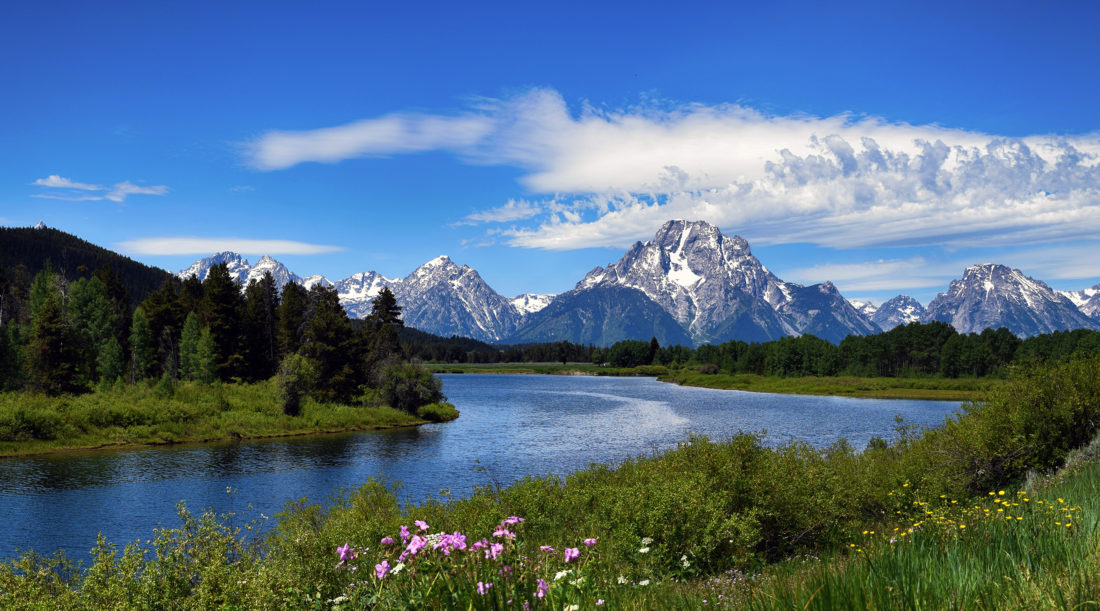
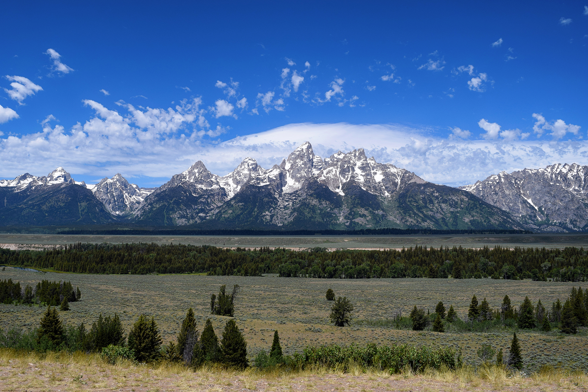
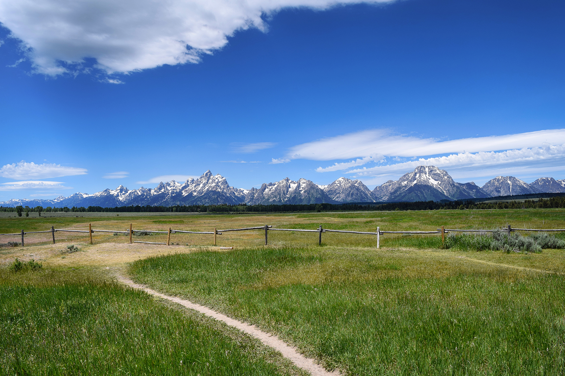
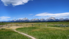
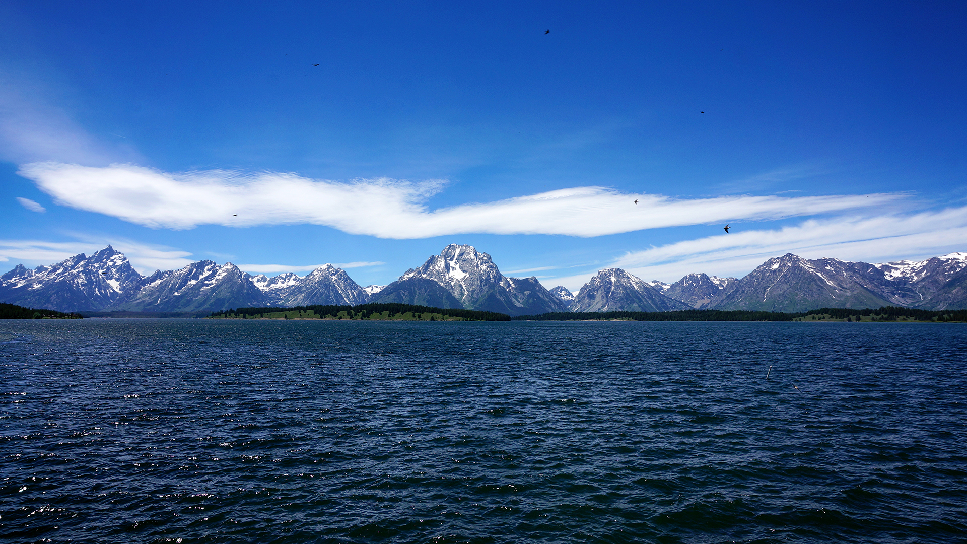
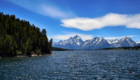
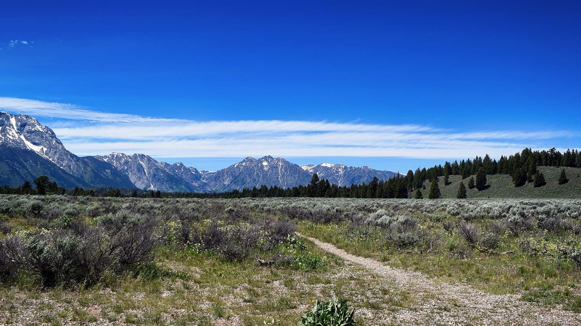
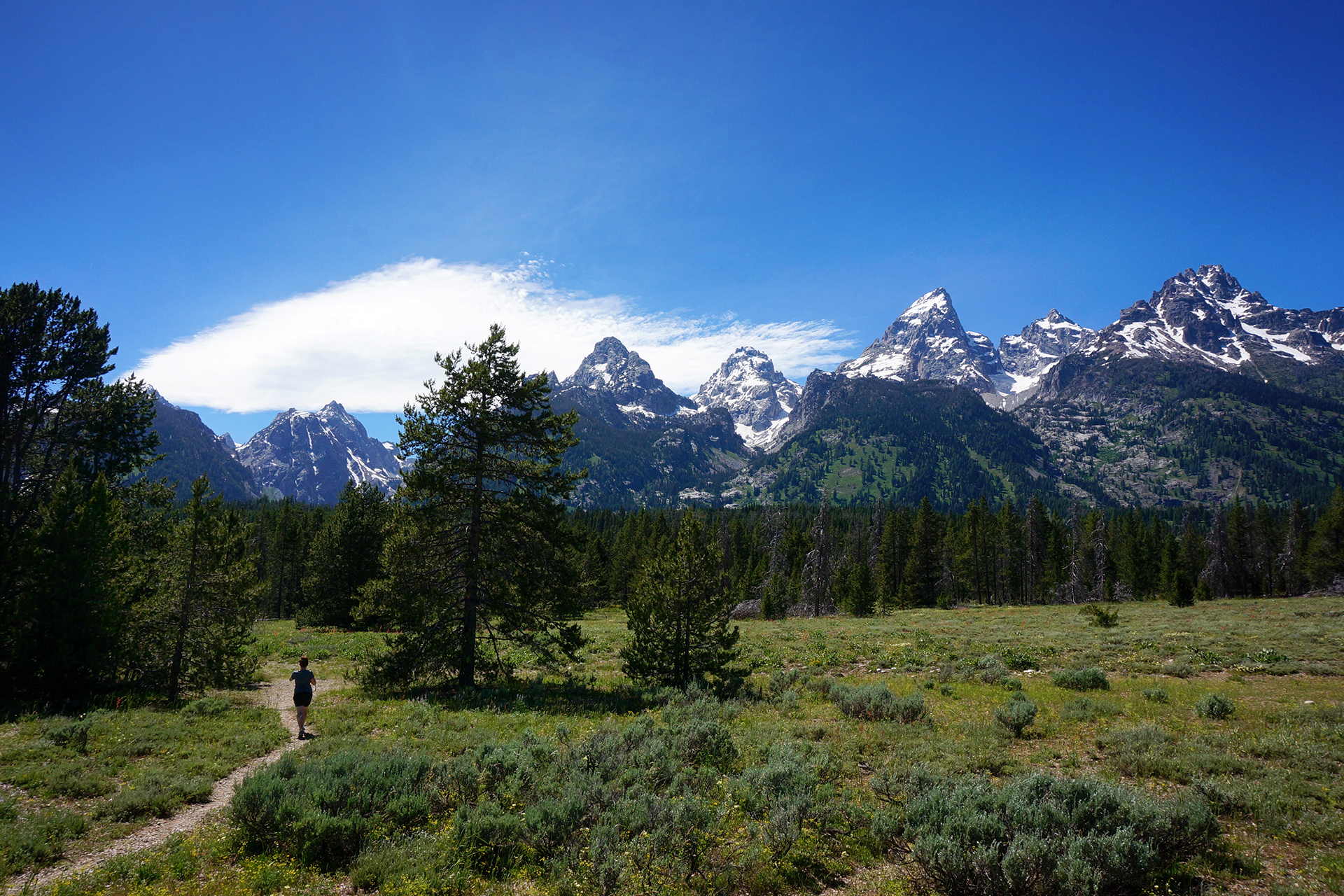
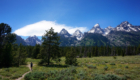
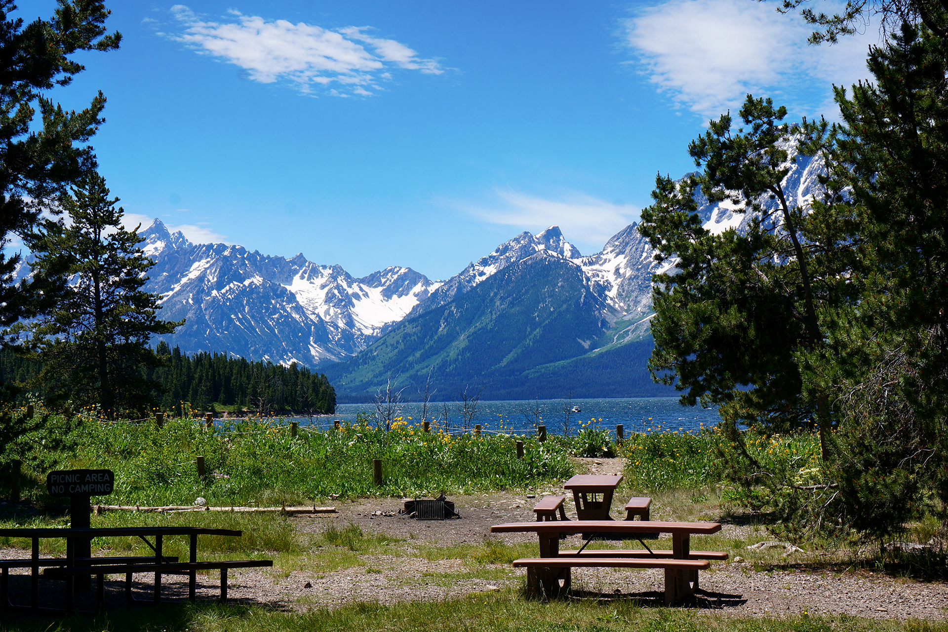
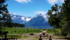
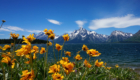
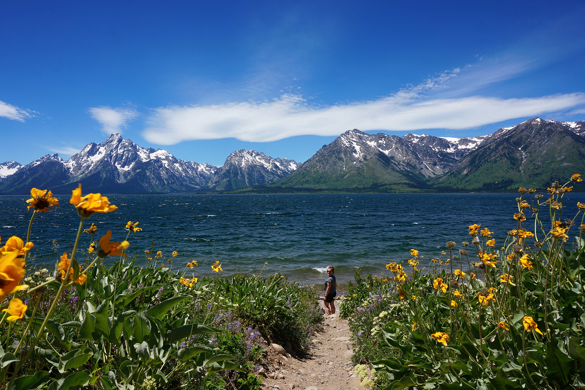
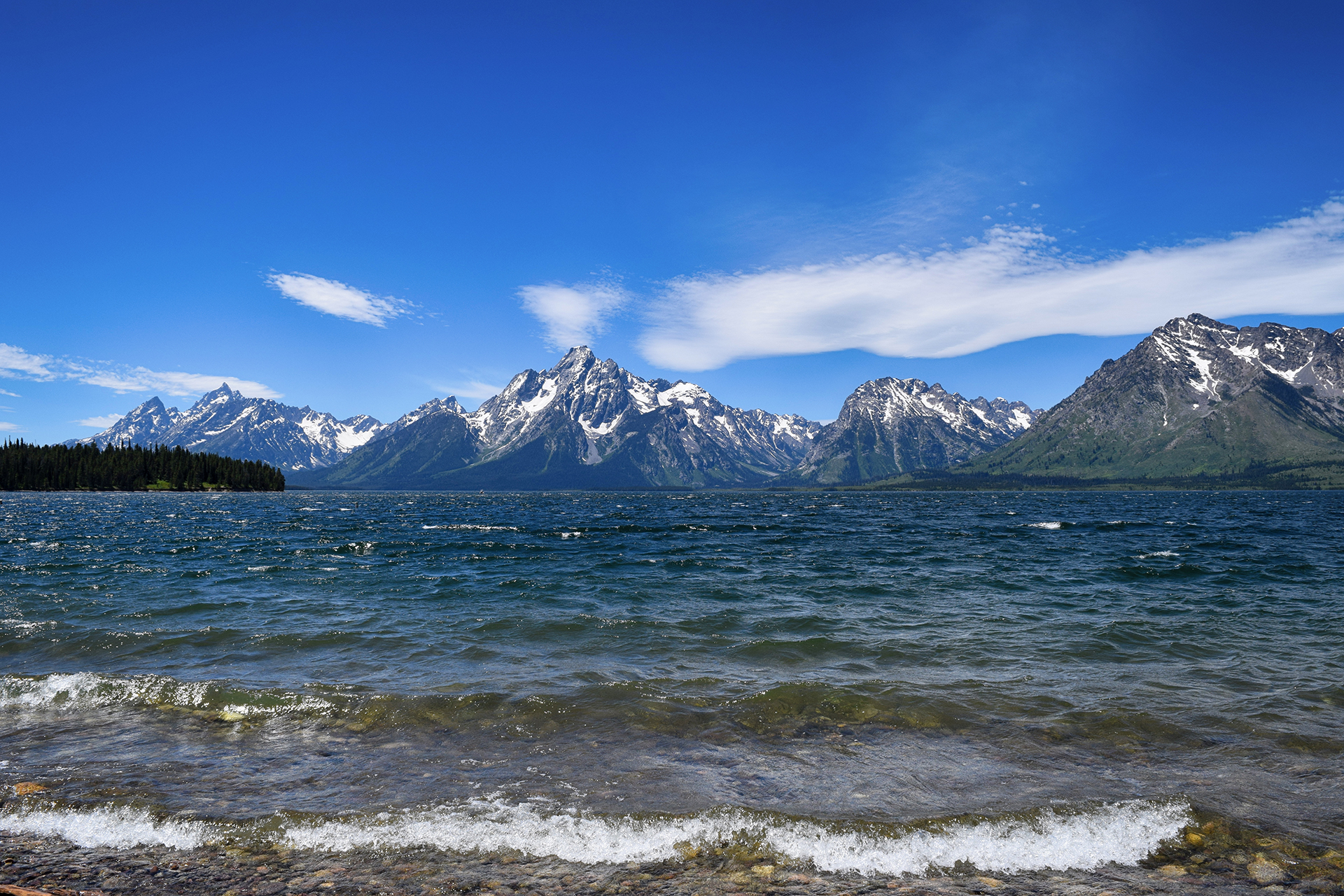
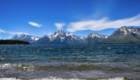
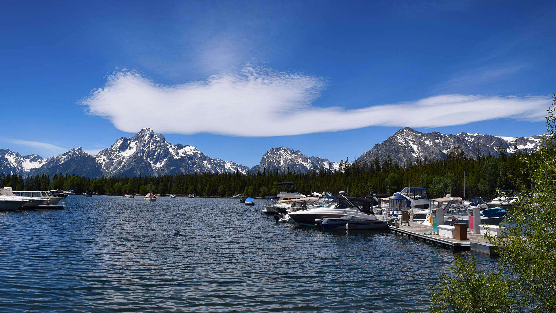
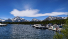
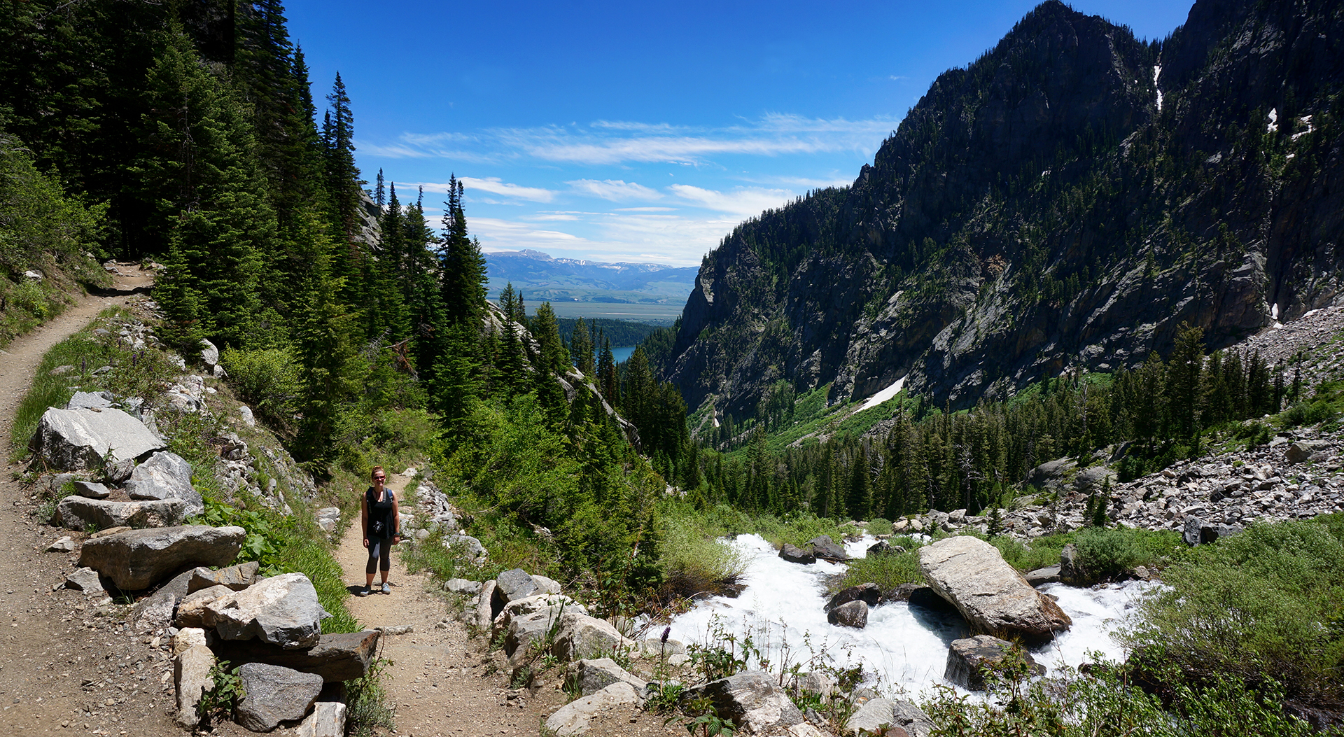
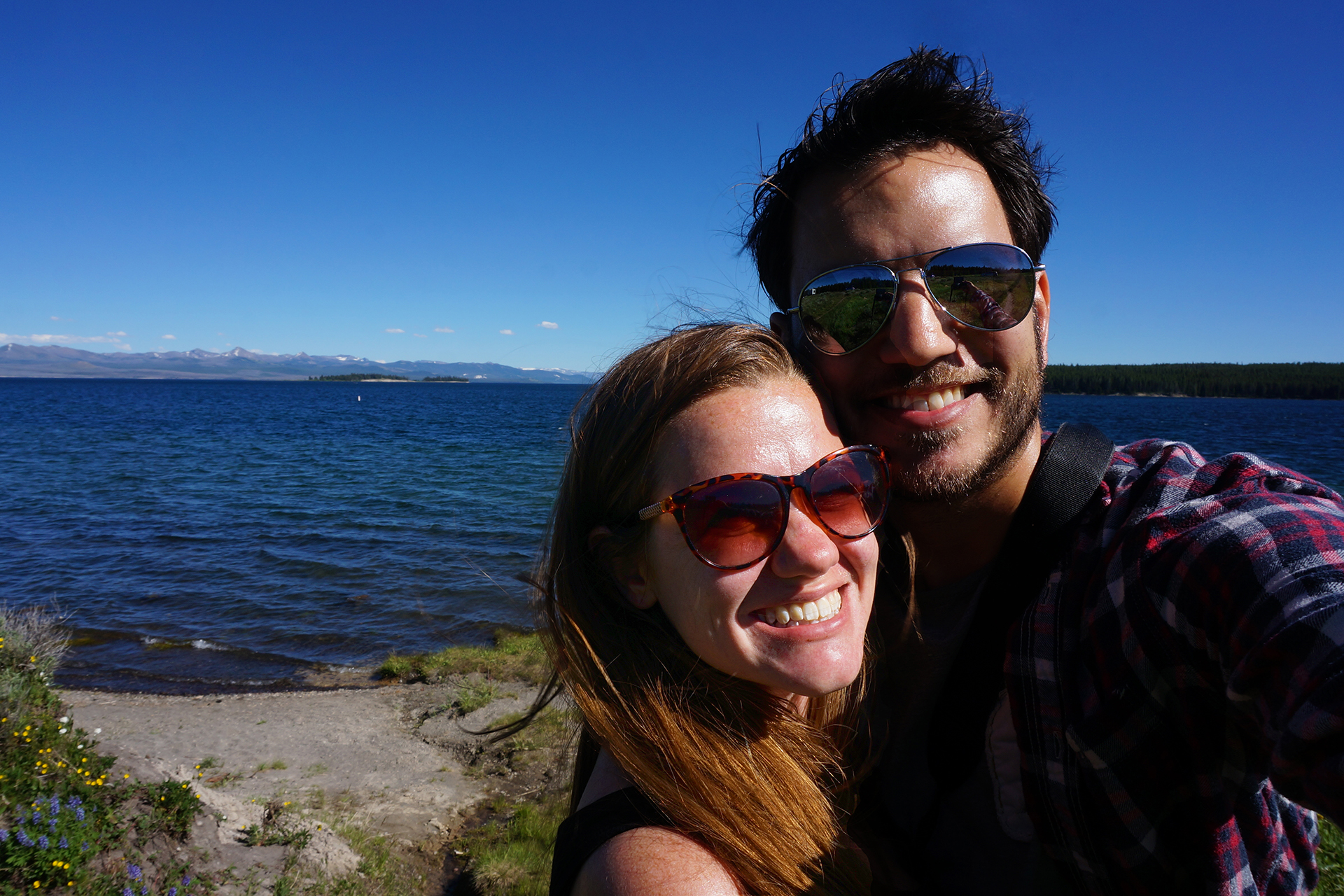
After a few days at the glorious Grand Teton National Park, we headed a few miles north to the granddaddy of all national parks, and one of the weirdest places in the world: Yellowstone.

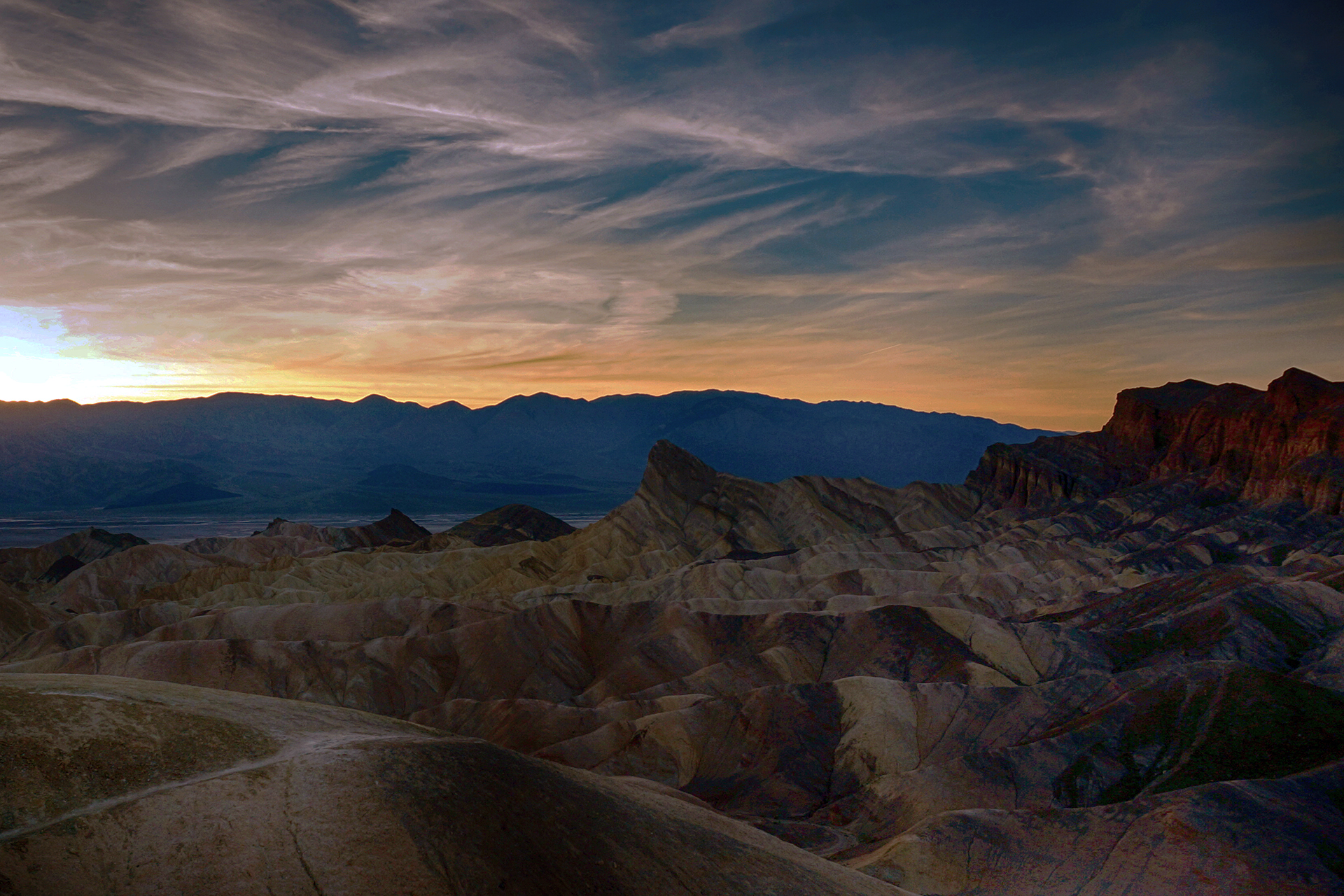
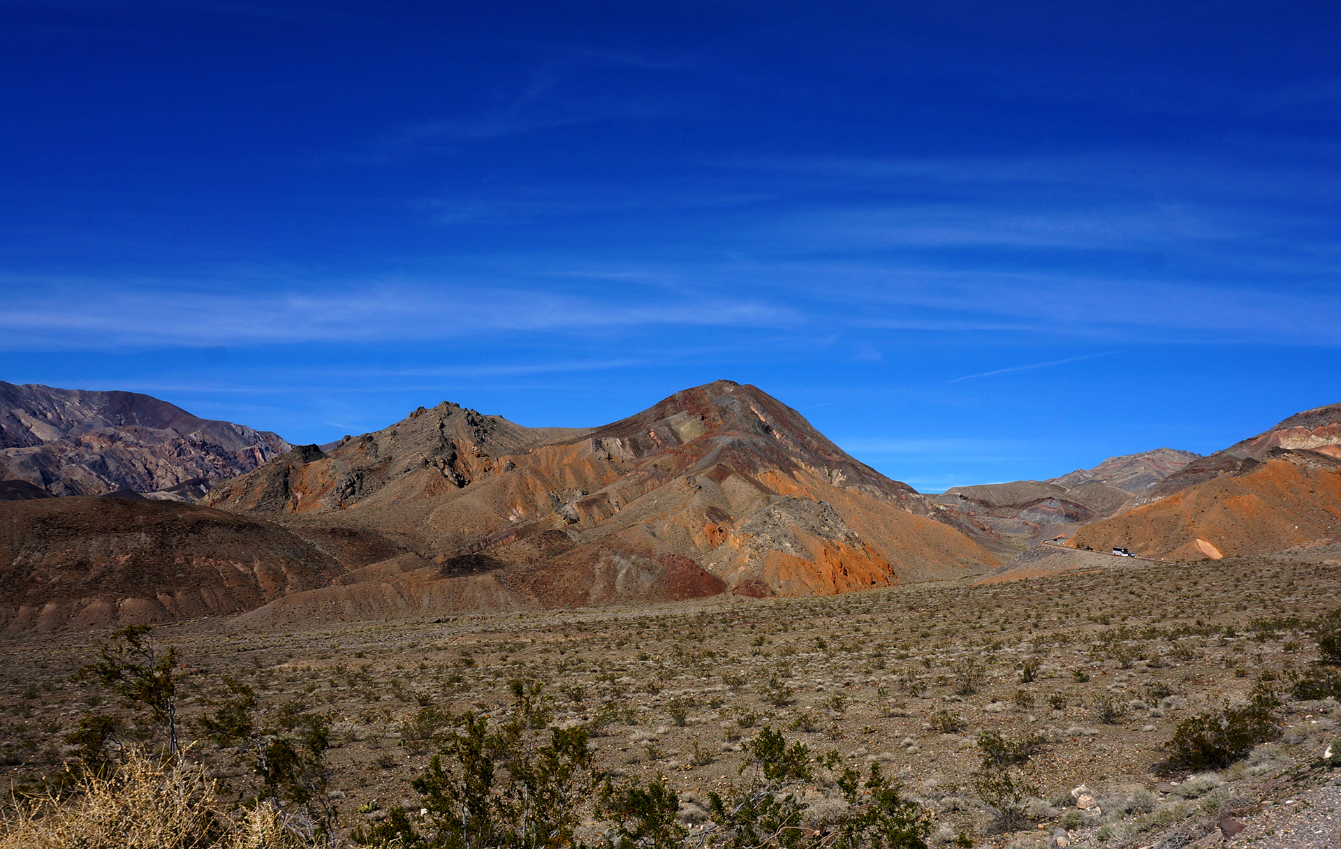
Yellowstone is beautiful, huge, unique, and just a little scary.  One of the most geologically active places on Earth, the park is basically the thin covering over a gigantic super-volcano.  It’s not likely to explode anytime soon (although: if it did, we’d all be screwed), but the volcano’s heat causes underground water to bubble up and burst out through the surface.

Everywhere you go, things erupt, vent, slosh, fizz, or sometimes just lie there looking pretty.

Yellowstone was the first national park in at least the United States, and probably the world, because it is so freaking crazy.  The density of exploding stuff here has no equal.  In fact, half of all the geological features in the world are located at Yellowstone, and two-thirds of all the geysers.

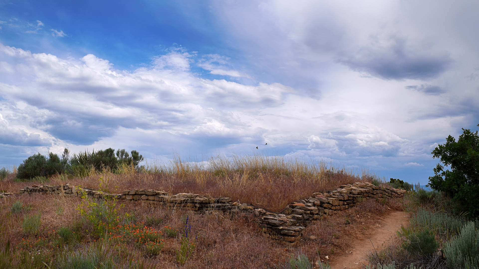
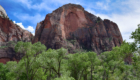
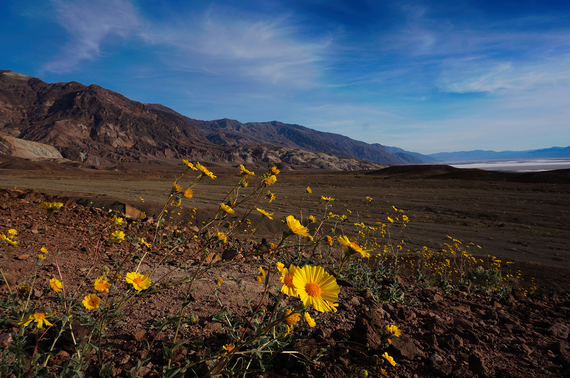
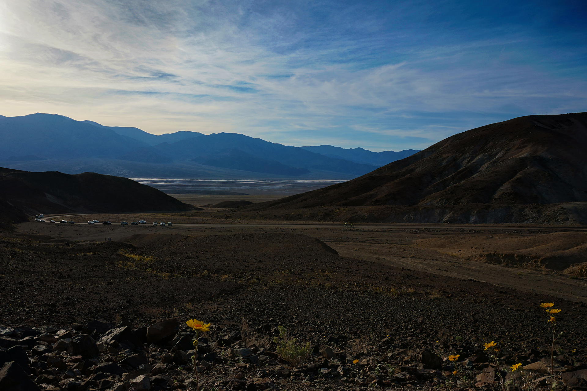
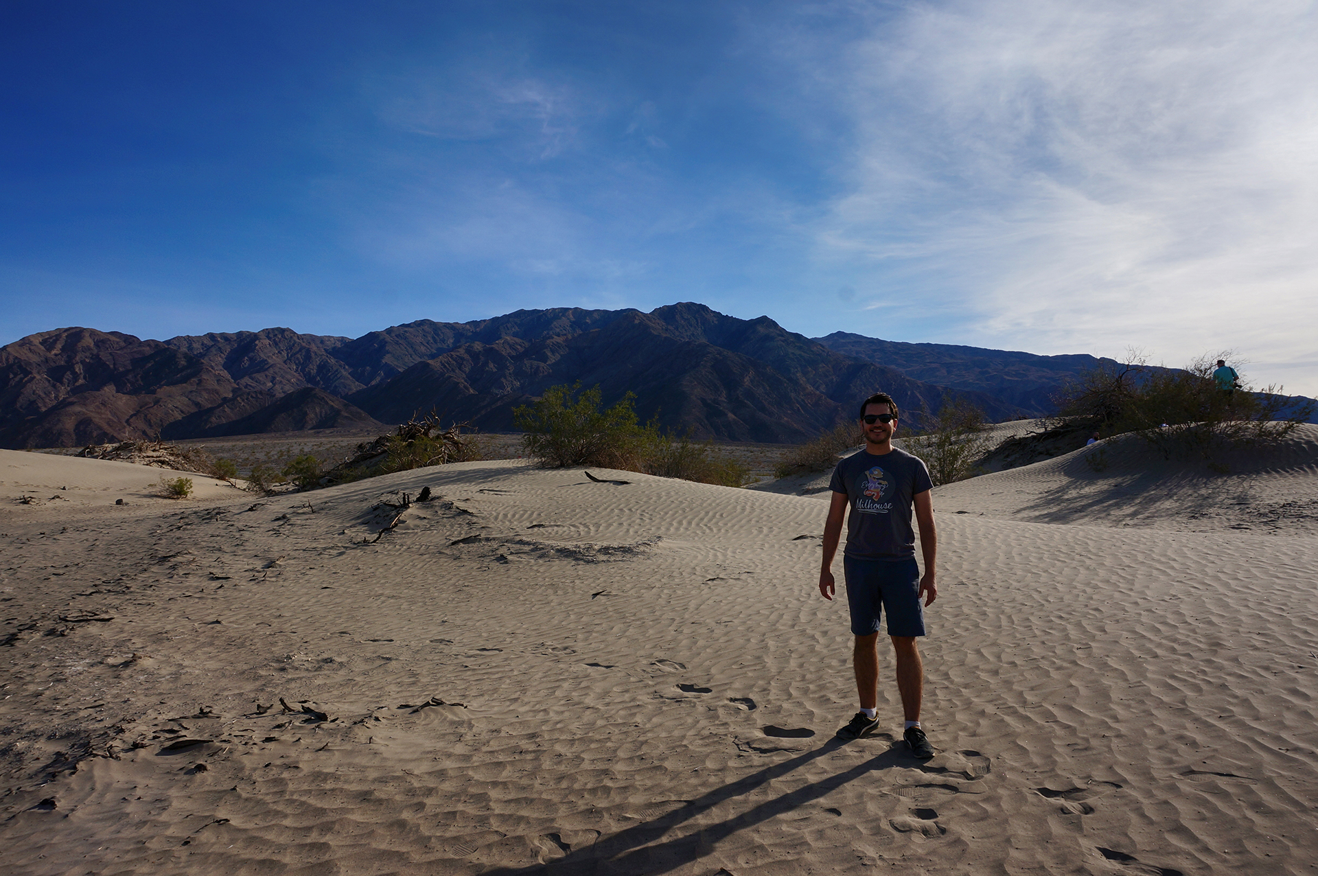
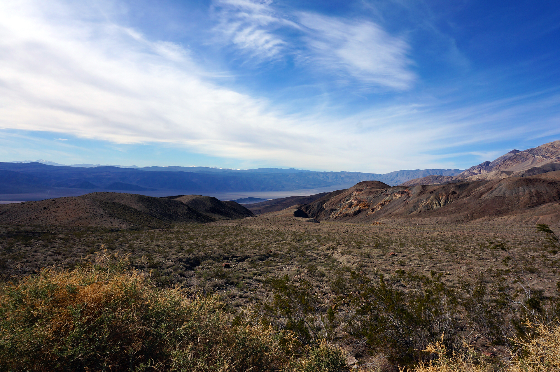
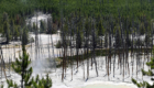
We spent three days at Yellowstone, and saw almost everything – just barely.  It was a whirlwind of geysers, hot springs, and bubbling pools, but also wide-open plains, wildlife, waterfalls, and a million stunning vistas.  It’s a truly beautiful place, preserved for us all by a far-sighted act of conservation.

And judging by the throngs, approximately 12 billion people visit every day.

We took 2,600 photos here.  Here are our favorites.
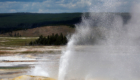
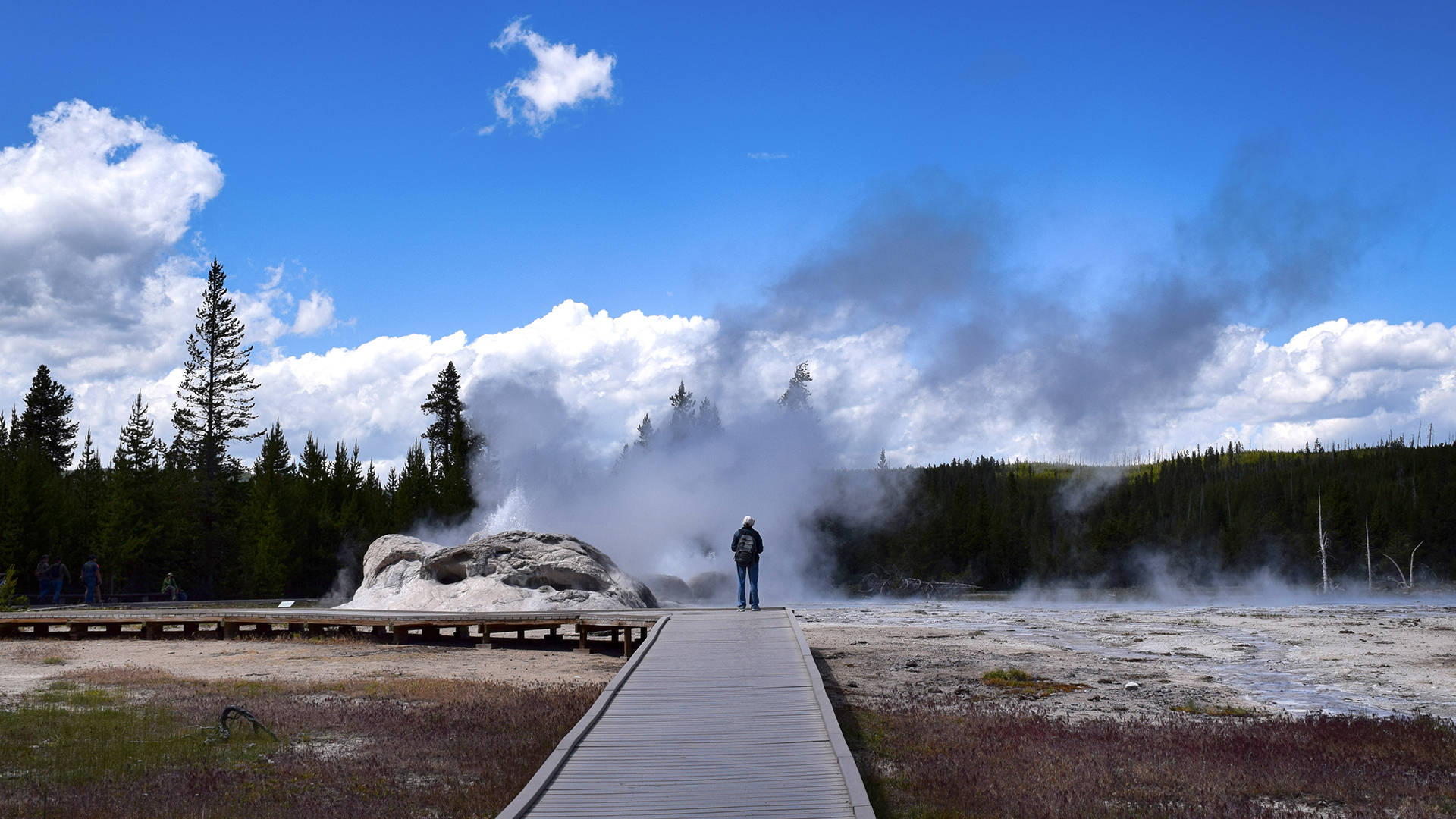
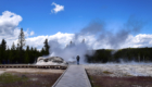
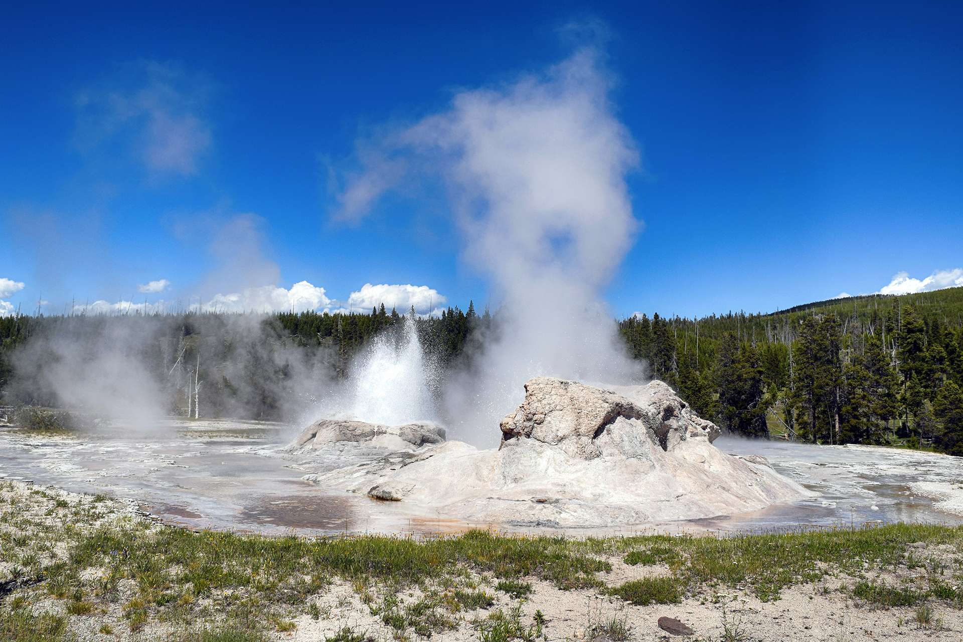
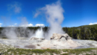
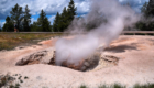
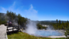
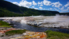
Geysers

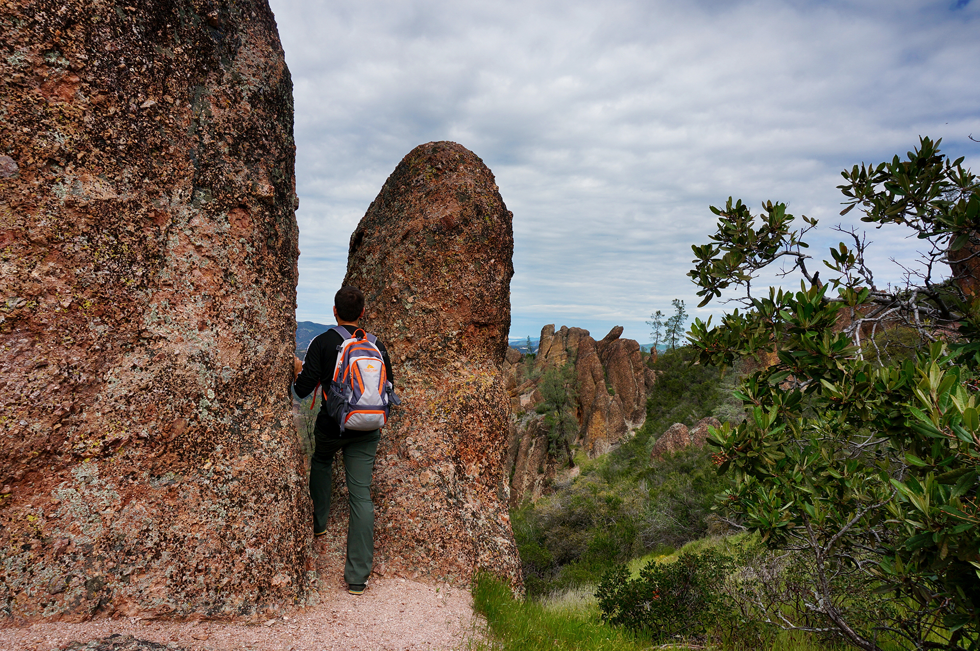
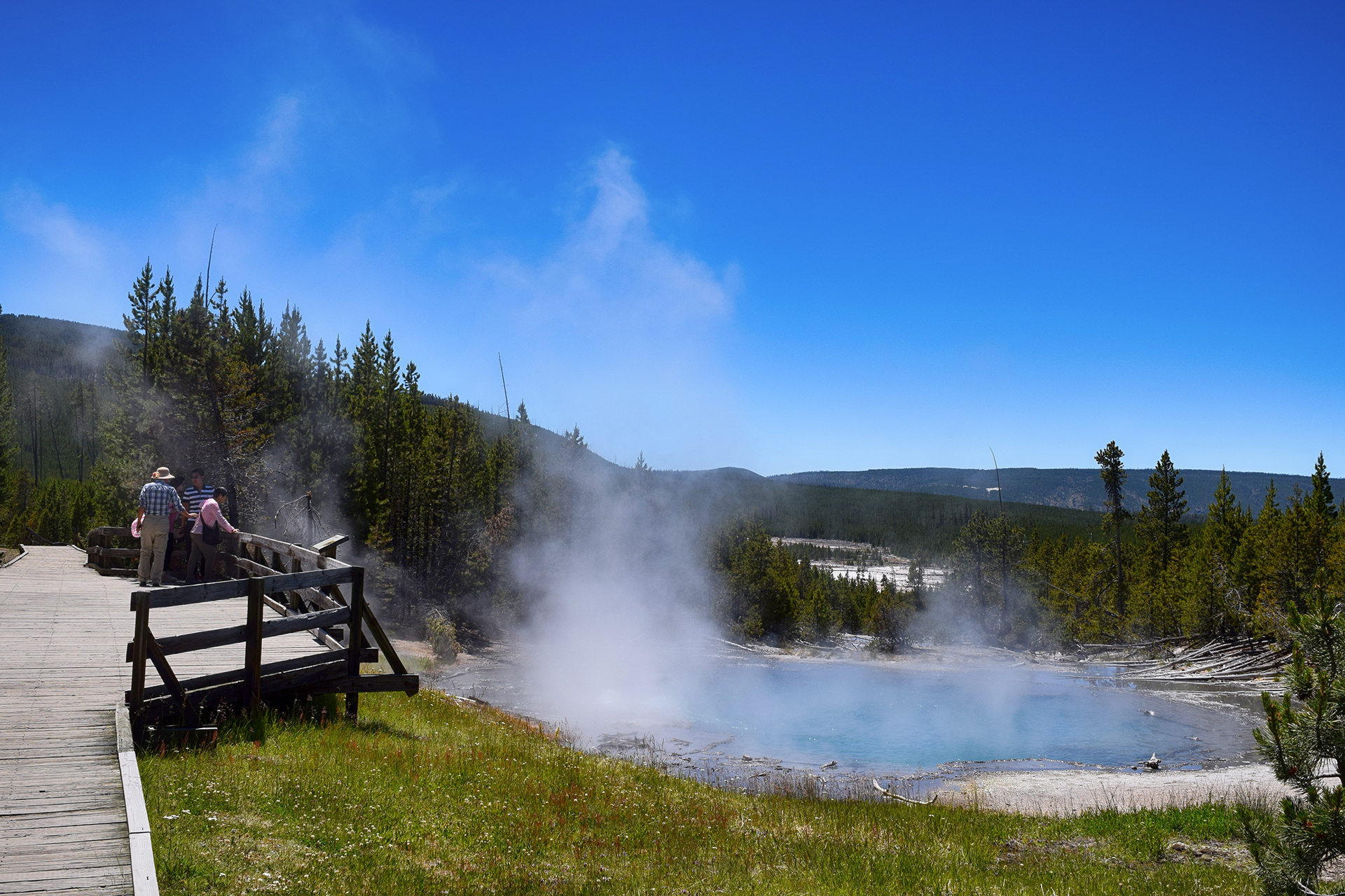
The geysers area of Yellowstone feels decidedly unreal.  You walk along huge boardwalks past a thousand little bubbling pots of nonsense, each one more brightly and improbably colored than the last.  They all erupt according to their own schedule, which typically means that they will do nothing while you wait and stare, until the exact moment you turn your back or start fiddling with the settings on your camera.

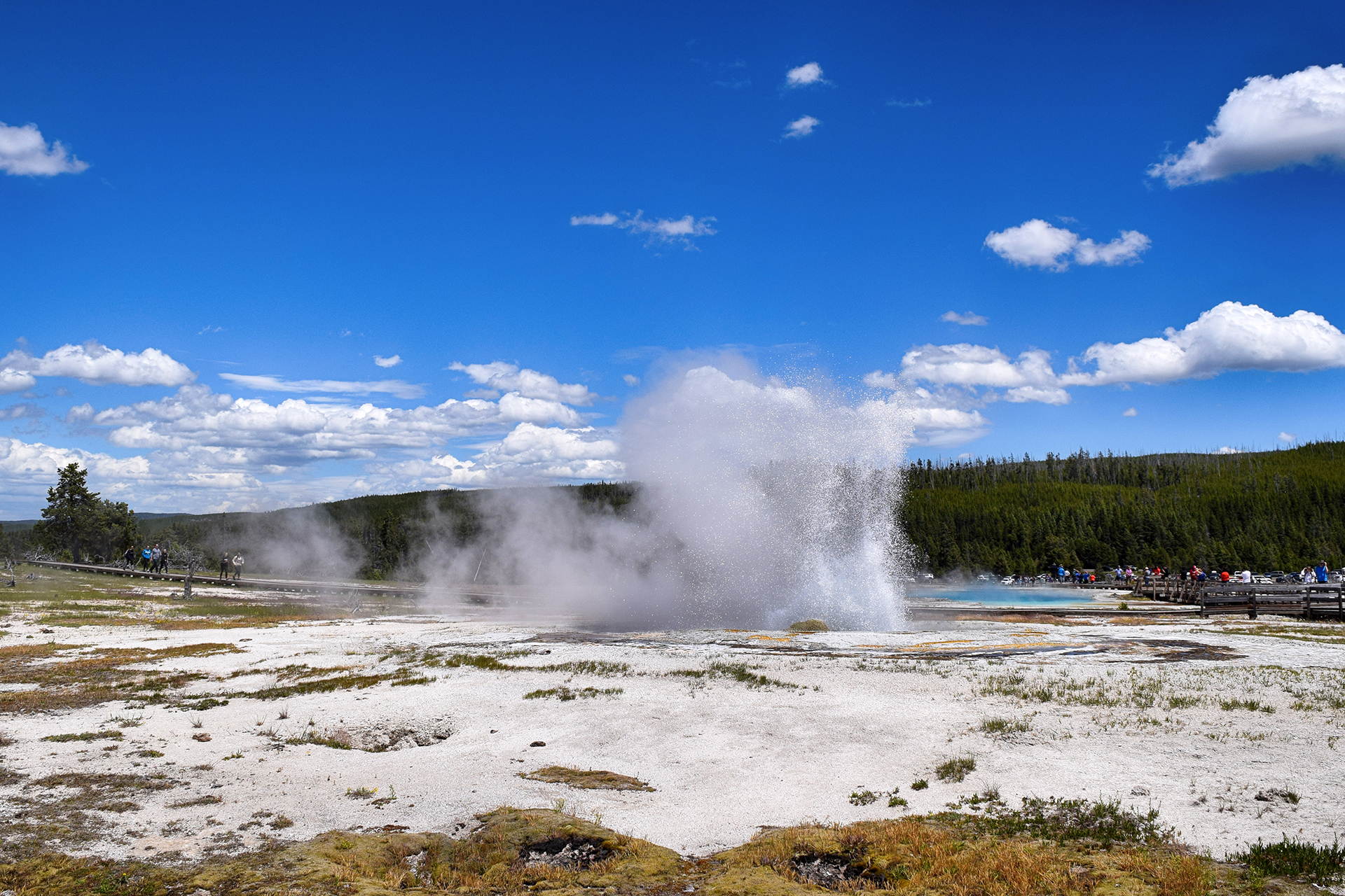
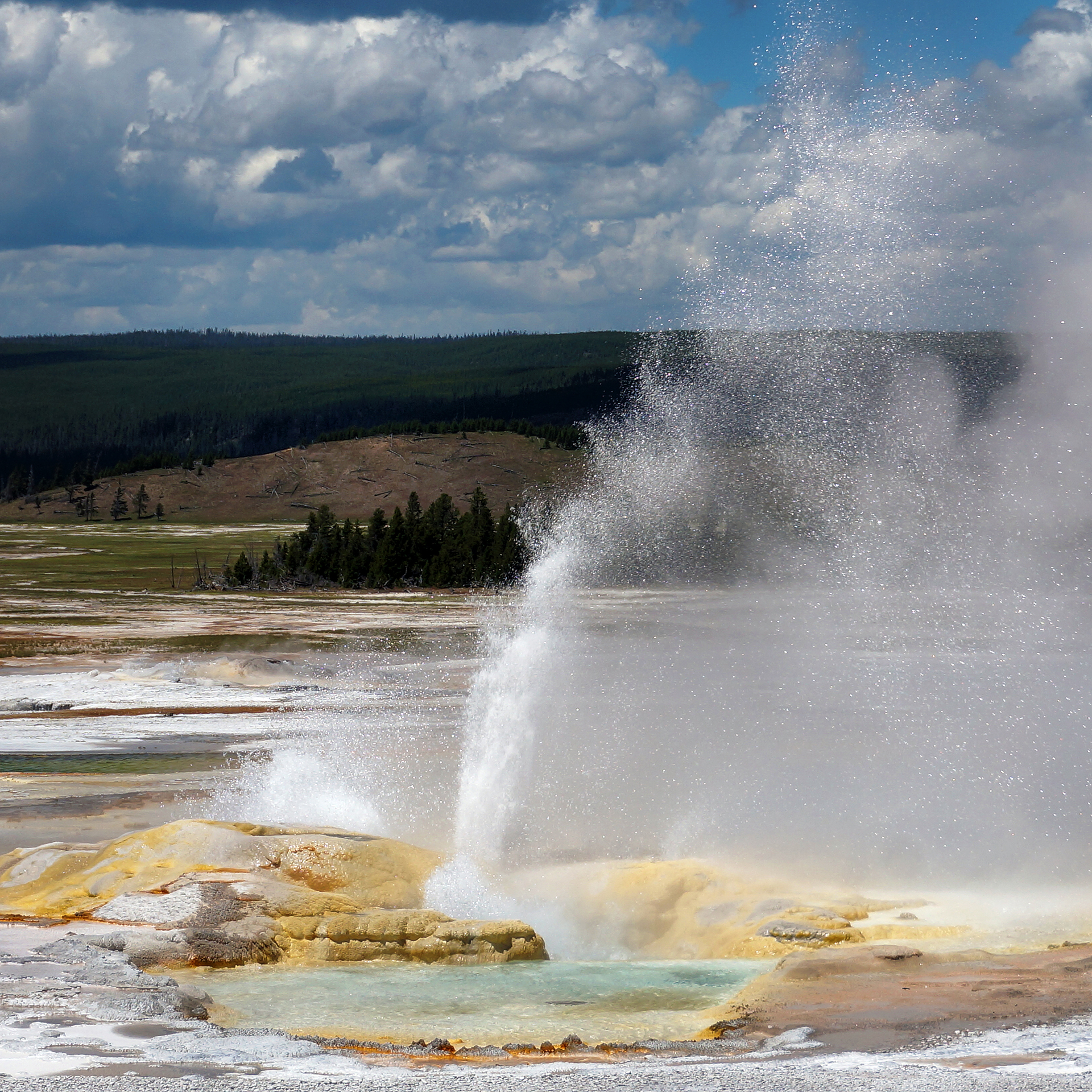
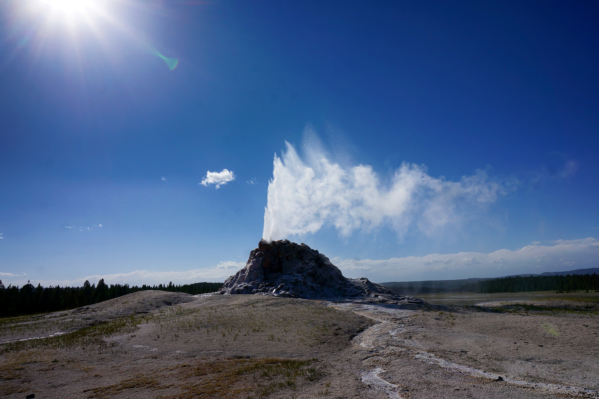
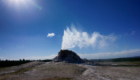
Old Faithful is the most famous of all these geysers, and probably of any geyser.  Its name derives from its consistency – Old Faithful erupts reliably, roughly every 65 or 91 minutes, depending on the length of the previous eruption.  There is a ten-minute window or so in which it is likely to blow each time, marked by a large clock in the ornate hotel a few steps away.

Heather got a prime spot on one side of the large viewing area and snapped away.

Jake… thought he had enough time before the eruption, and was in the bathroom.

Whoops!  The show goes on for a long time, though, and he at least caught the middle and the end.  Plus, we got the nice shot above of the crowds as he ran back to the viewing area.
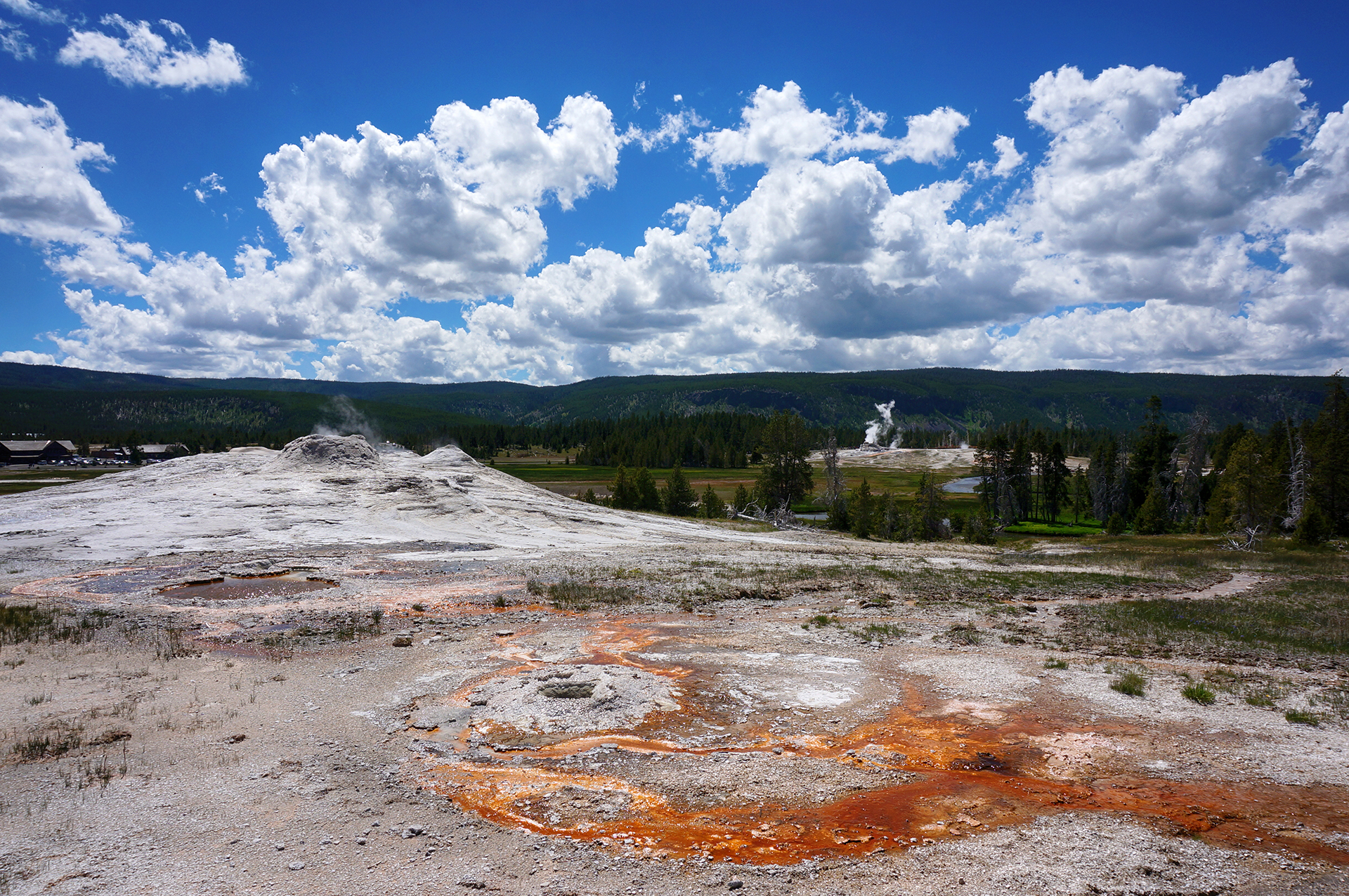
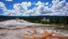
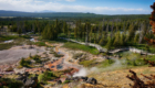
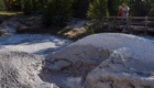
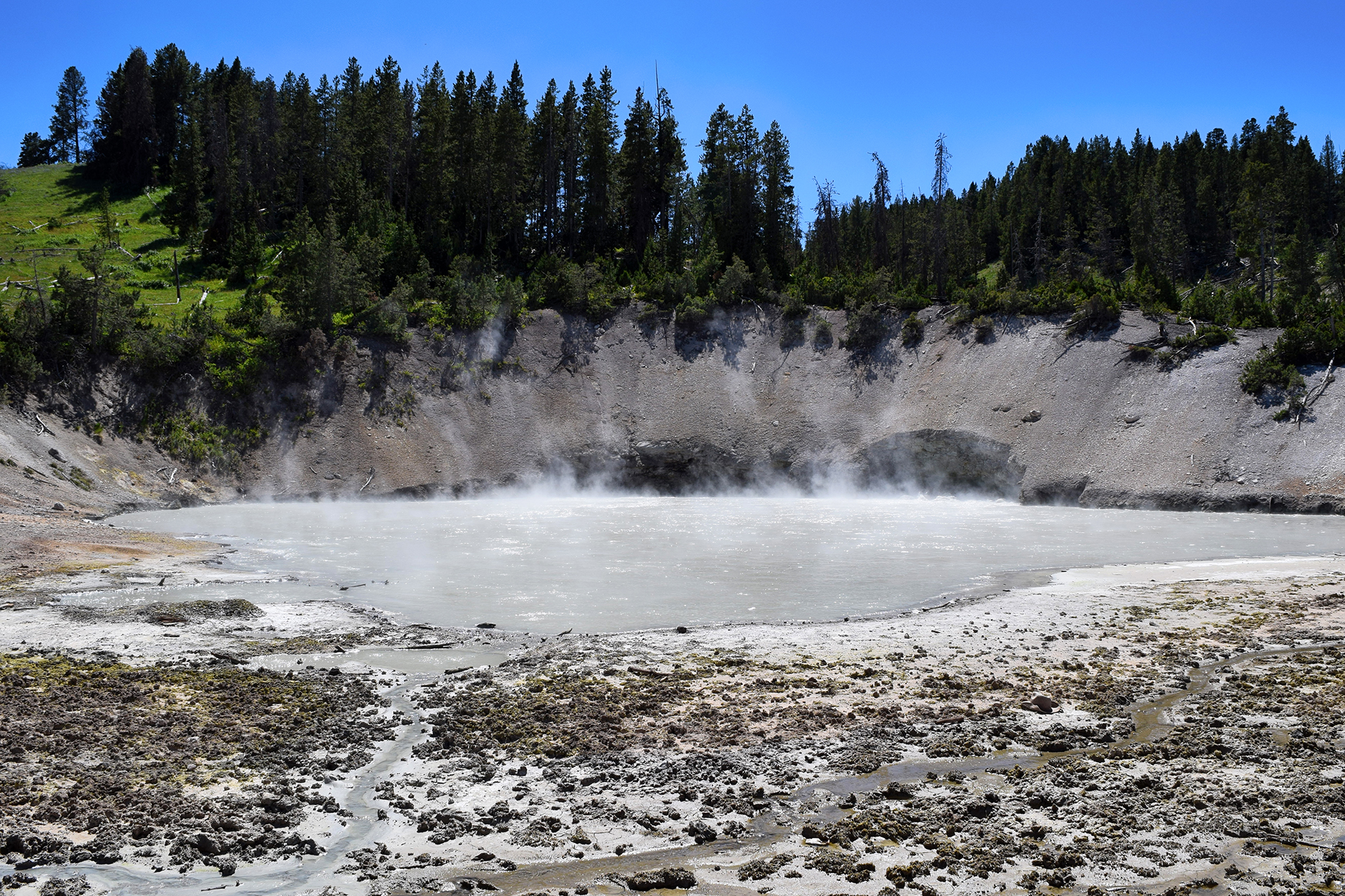
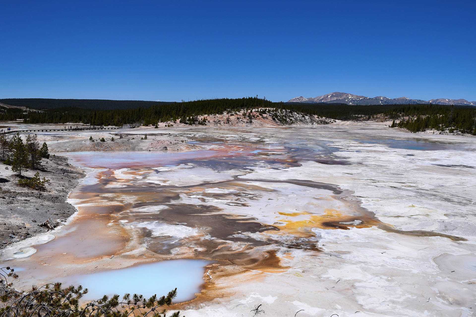
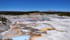
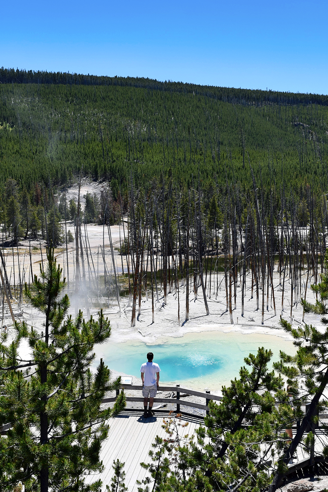
Pools

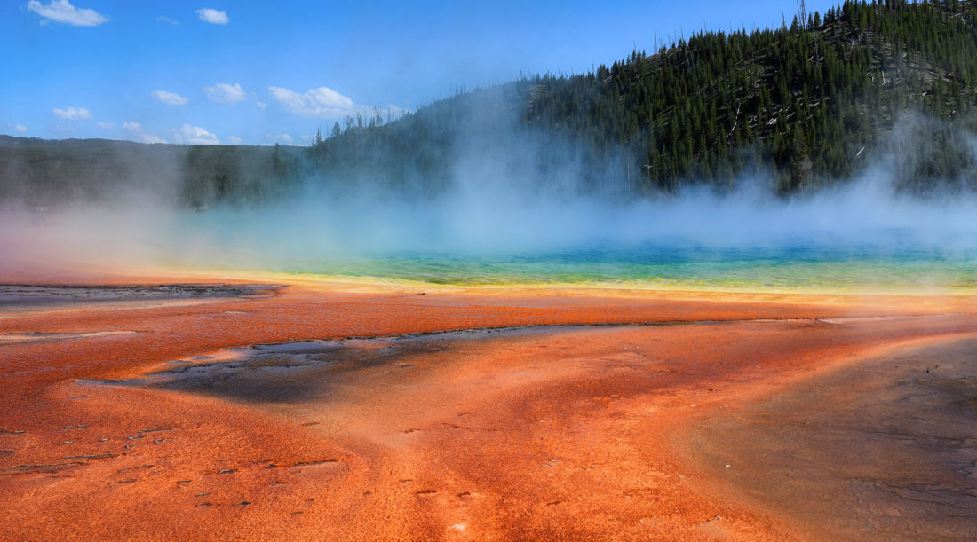
Aside from the geysers, the most famous features in Yellowstone are probably the vibrant pools.  Each is brilliantly colored and totally unique.

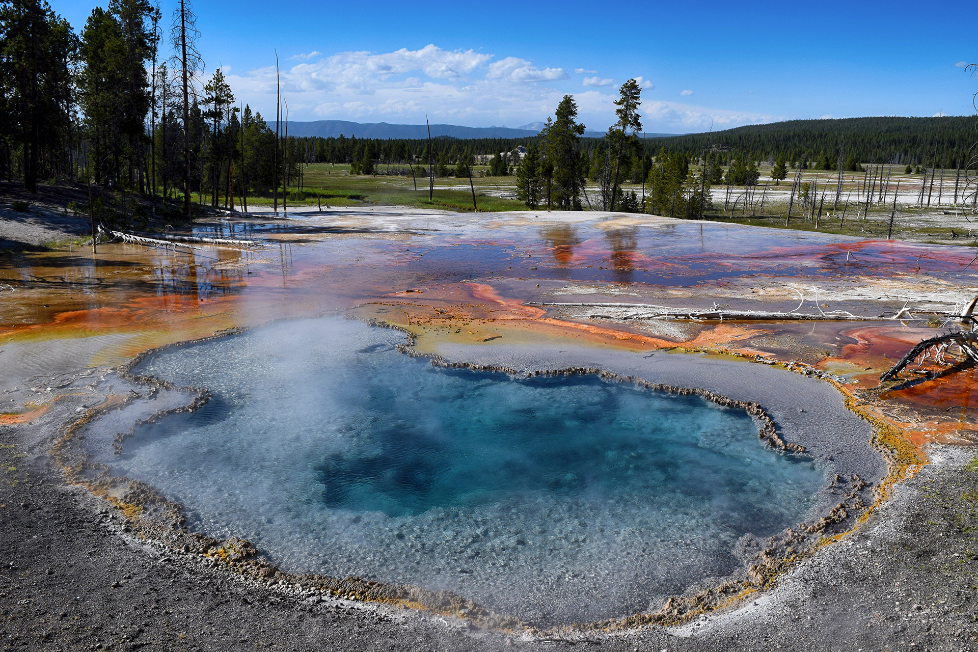
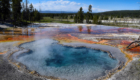
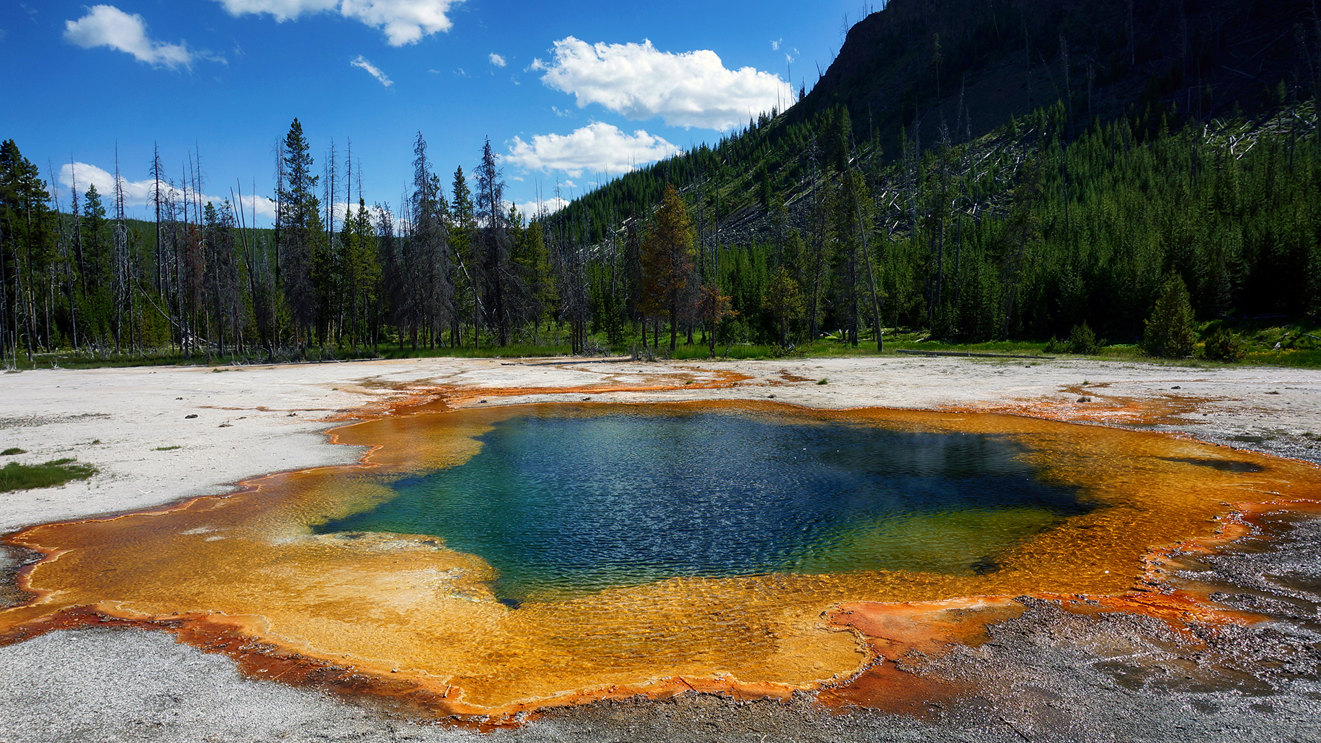
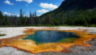
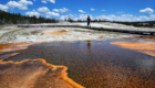
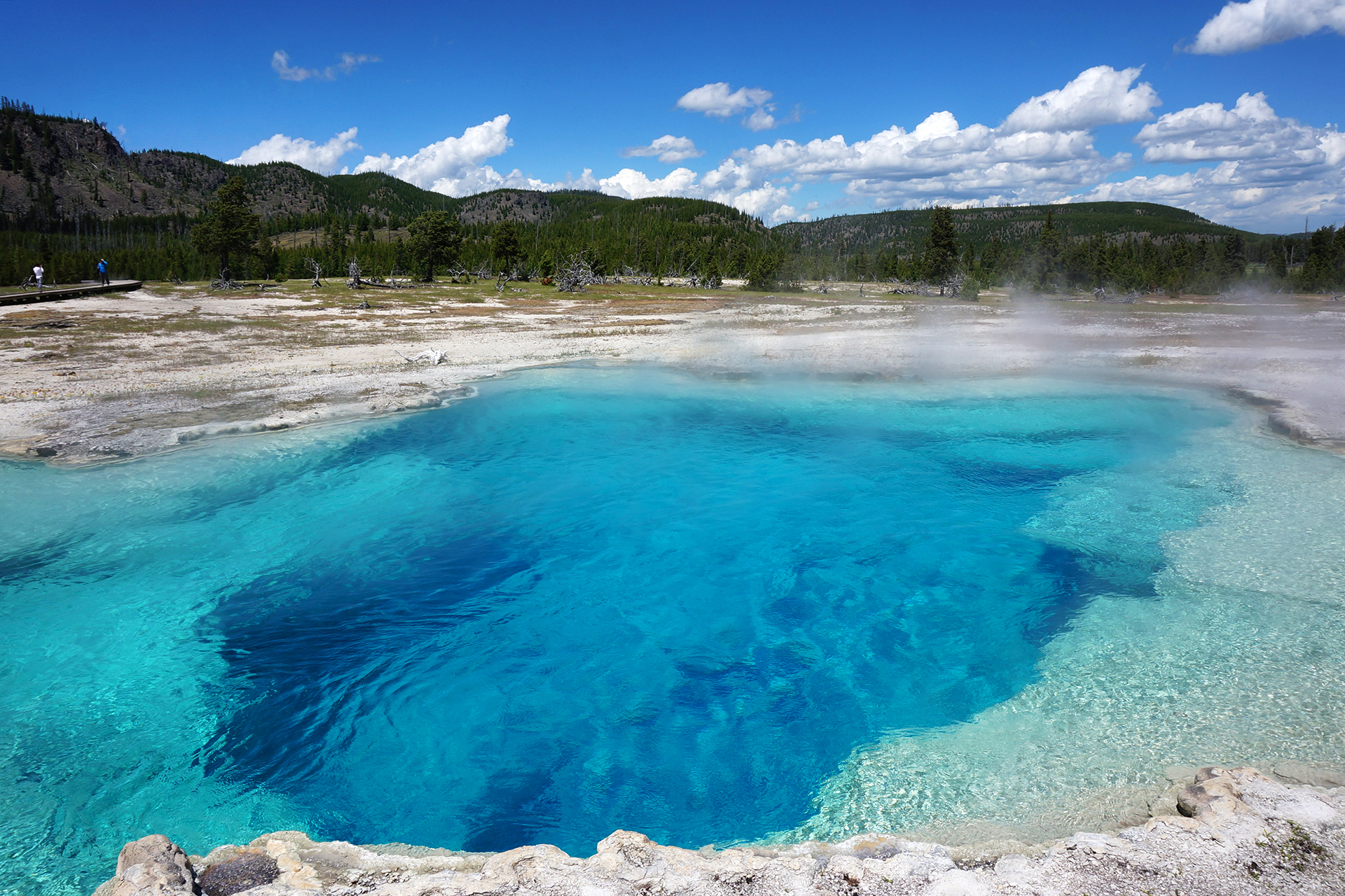
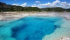
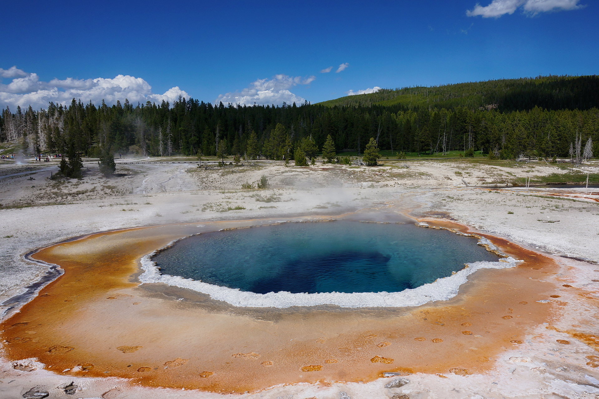
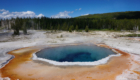
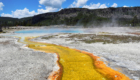
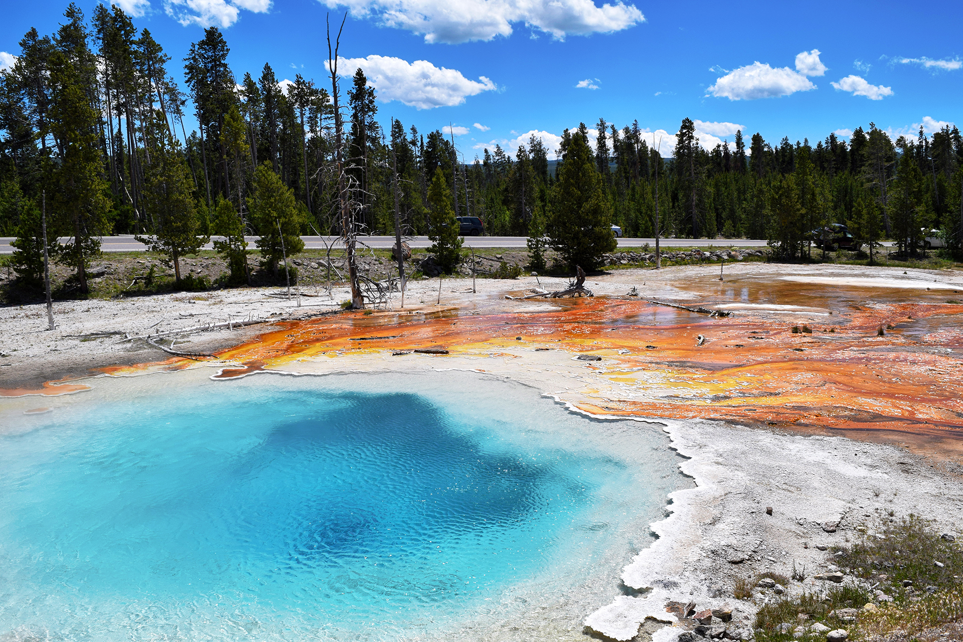
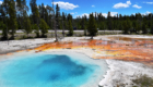
Many pools have a range of colors, caused by the temperature bands in the water itself – certain bacteria prefer the hotter water in the center, while others live in the cooler areas nearer the edge.  The end result creates beautiful, concentric gradients of color.

The most famous of these types of pools is known as Grand Prismatic Spring, and it is stunning.

Also: crowded.

Also: smelly.

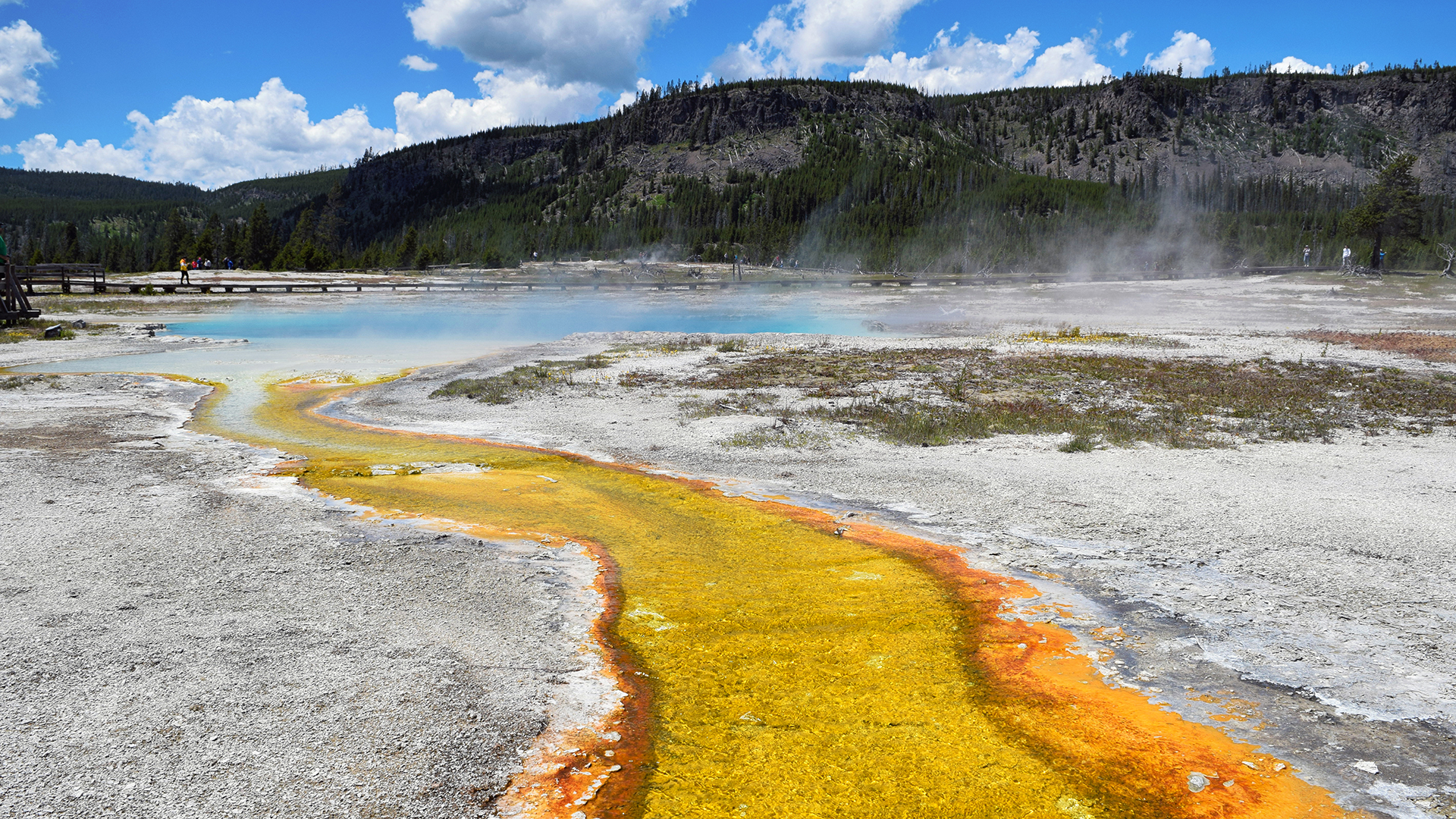
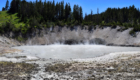
There’s no way around it: A lot of these geysers and pools smell horrific.  There’s a lot of sulfur, and the smell is equal parts “hell” and “rotten eggs.”  It’s constantly wafting everywhere.

At Grand Prismatic, the stinky steam constantly obscured our view.  Worse, the wind blew it all around, sometimes right into our nose and mouth.  Eww.

Some things are better in pictures than real life.

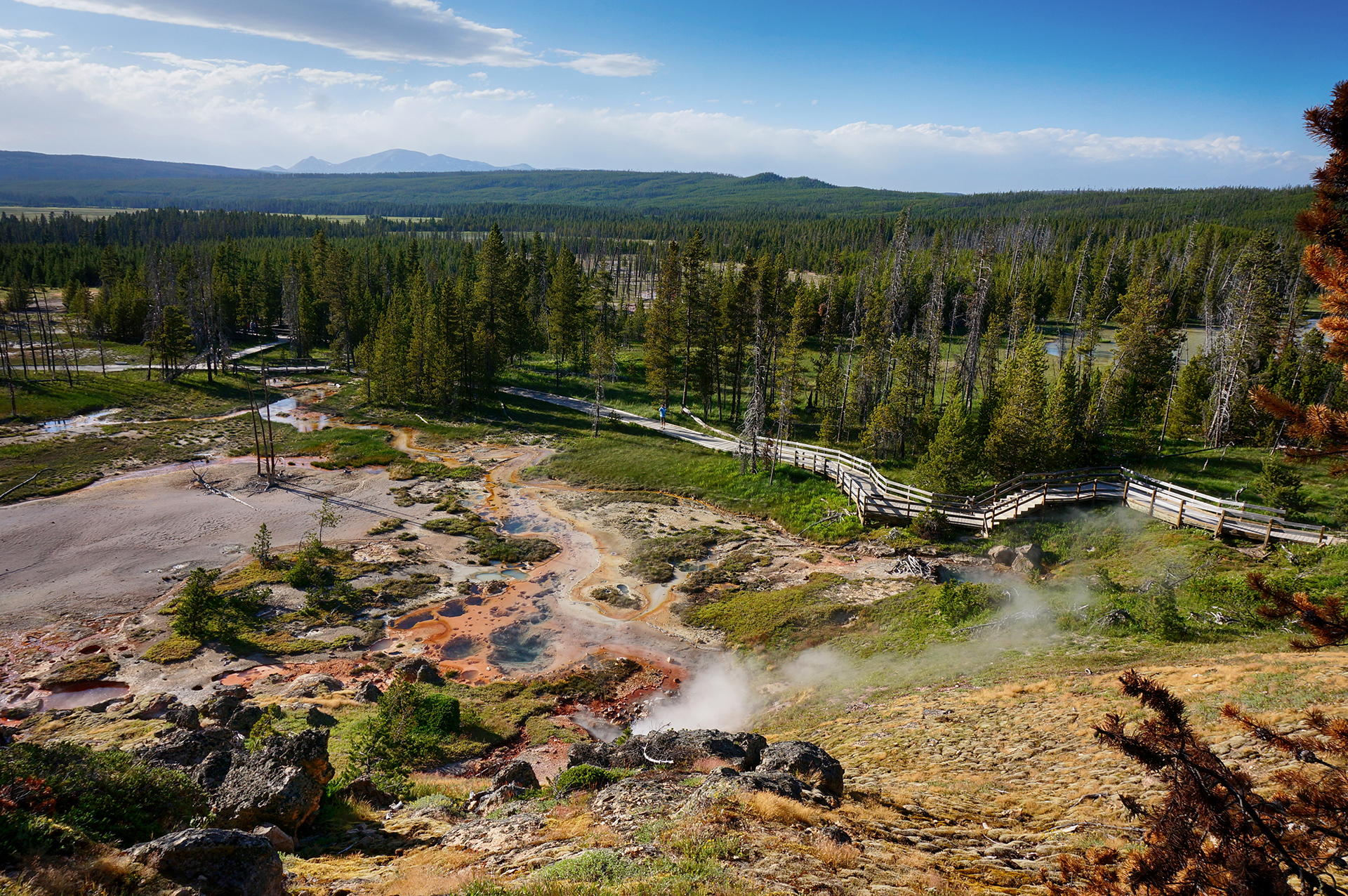
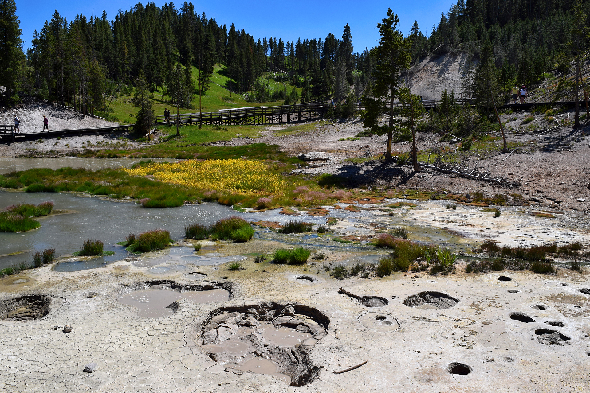
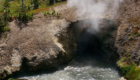
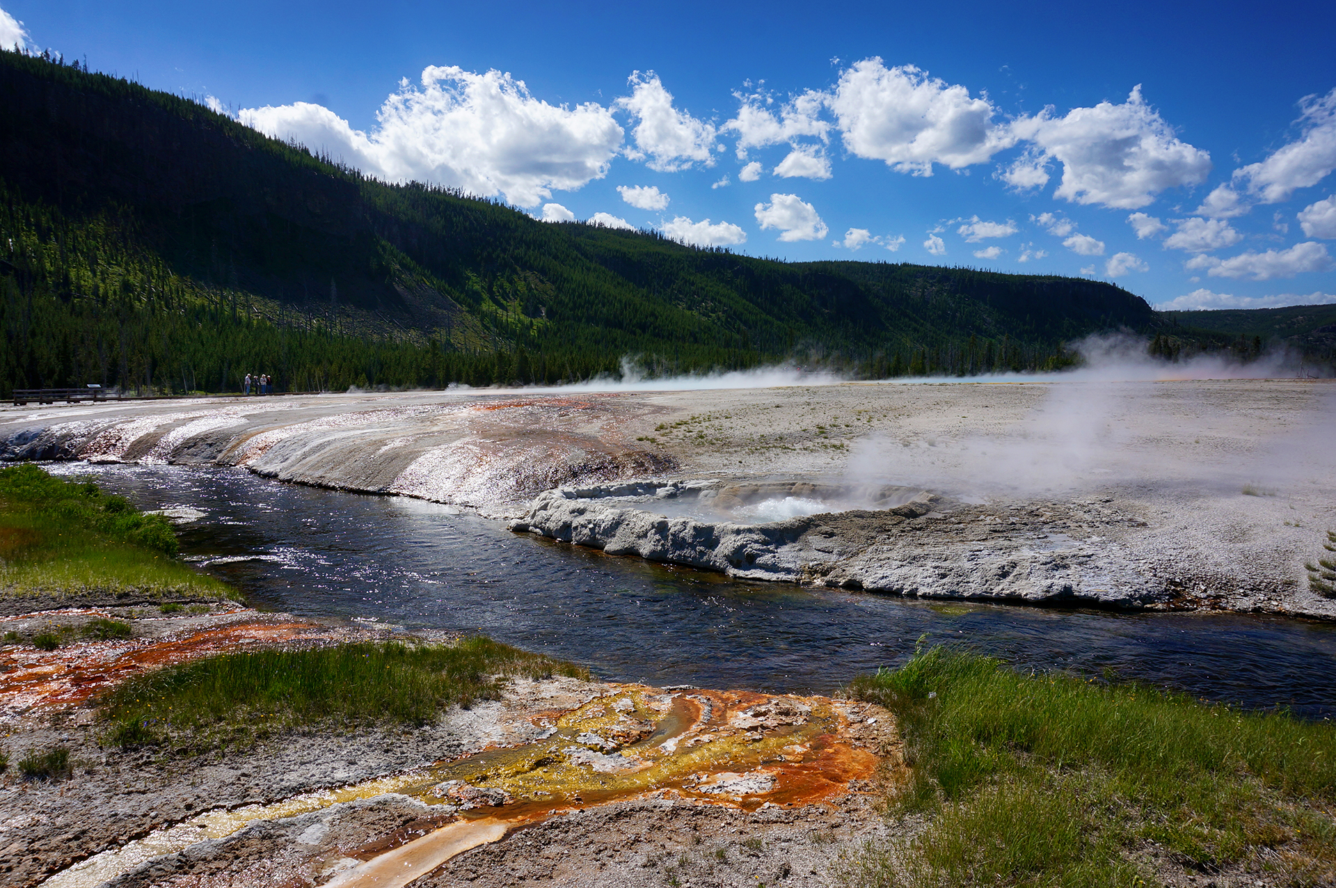
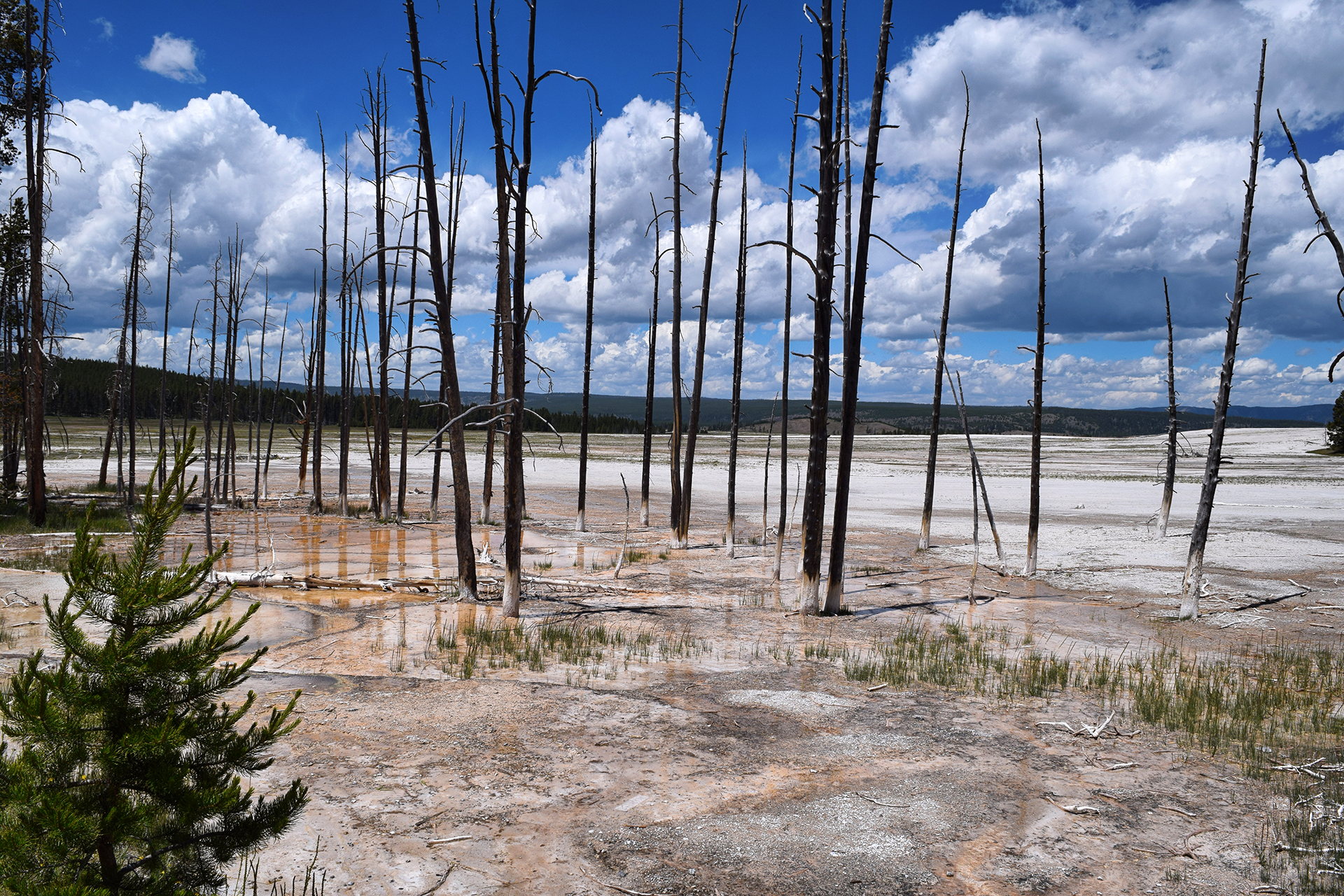
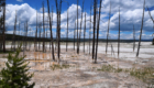
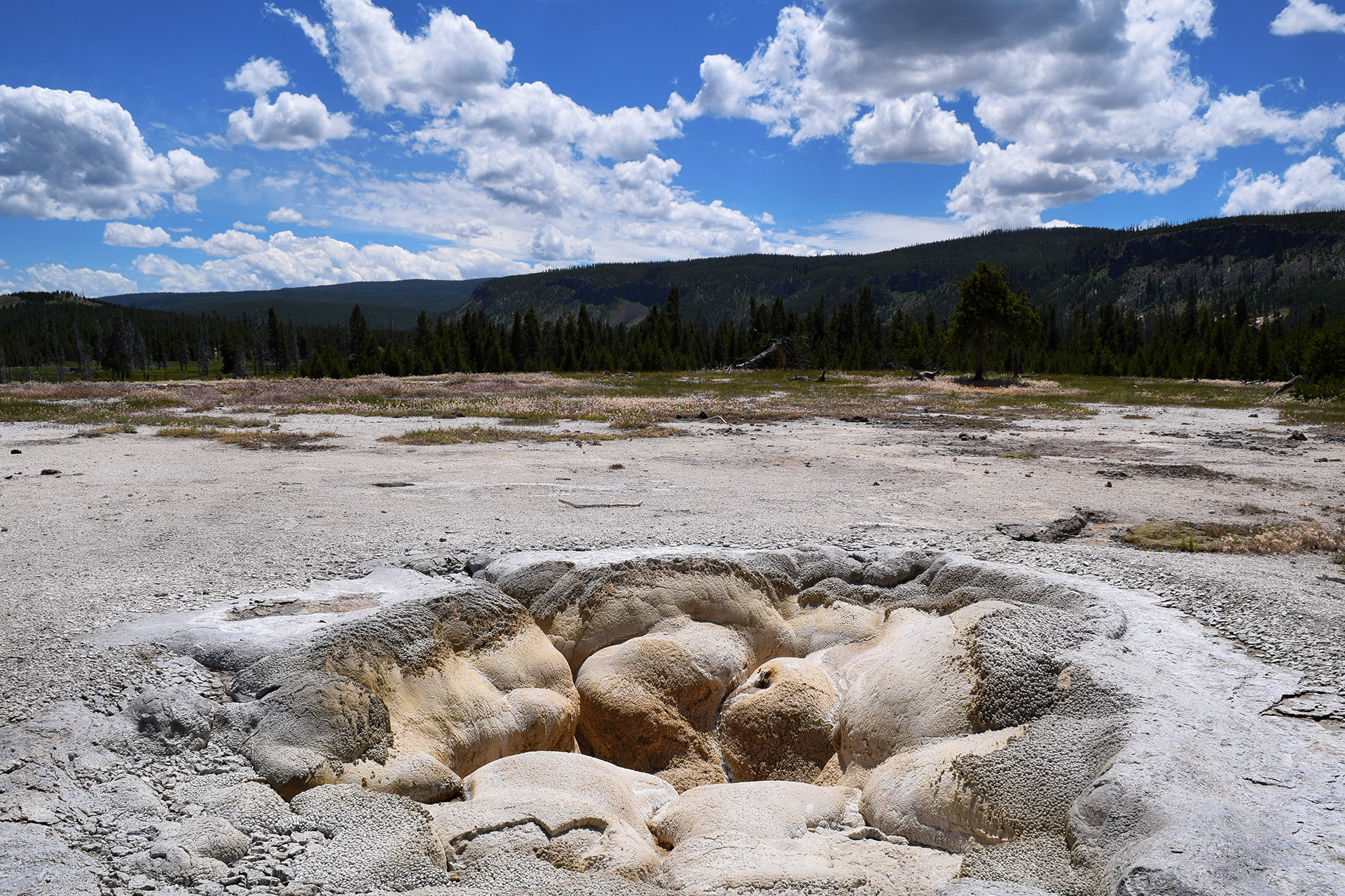
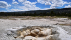
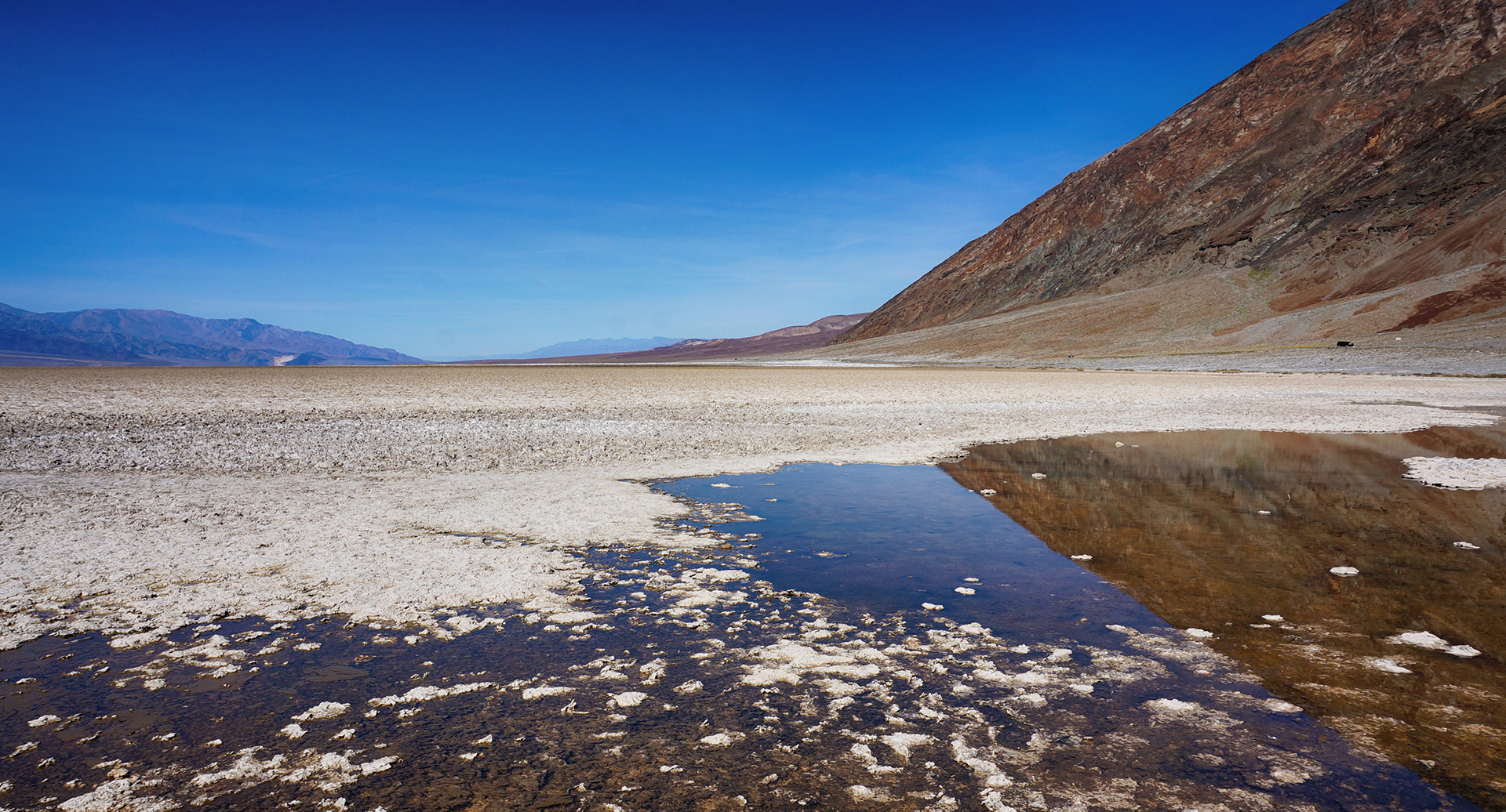
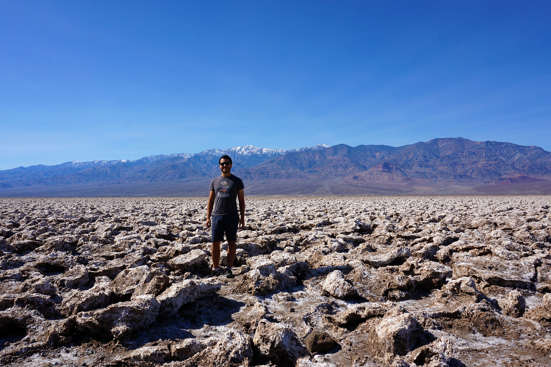
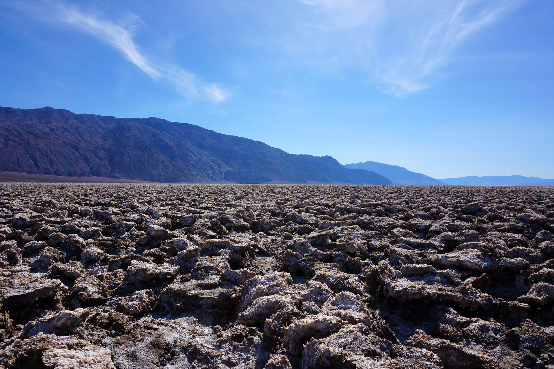
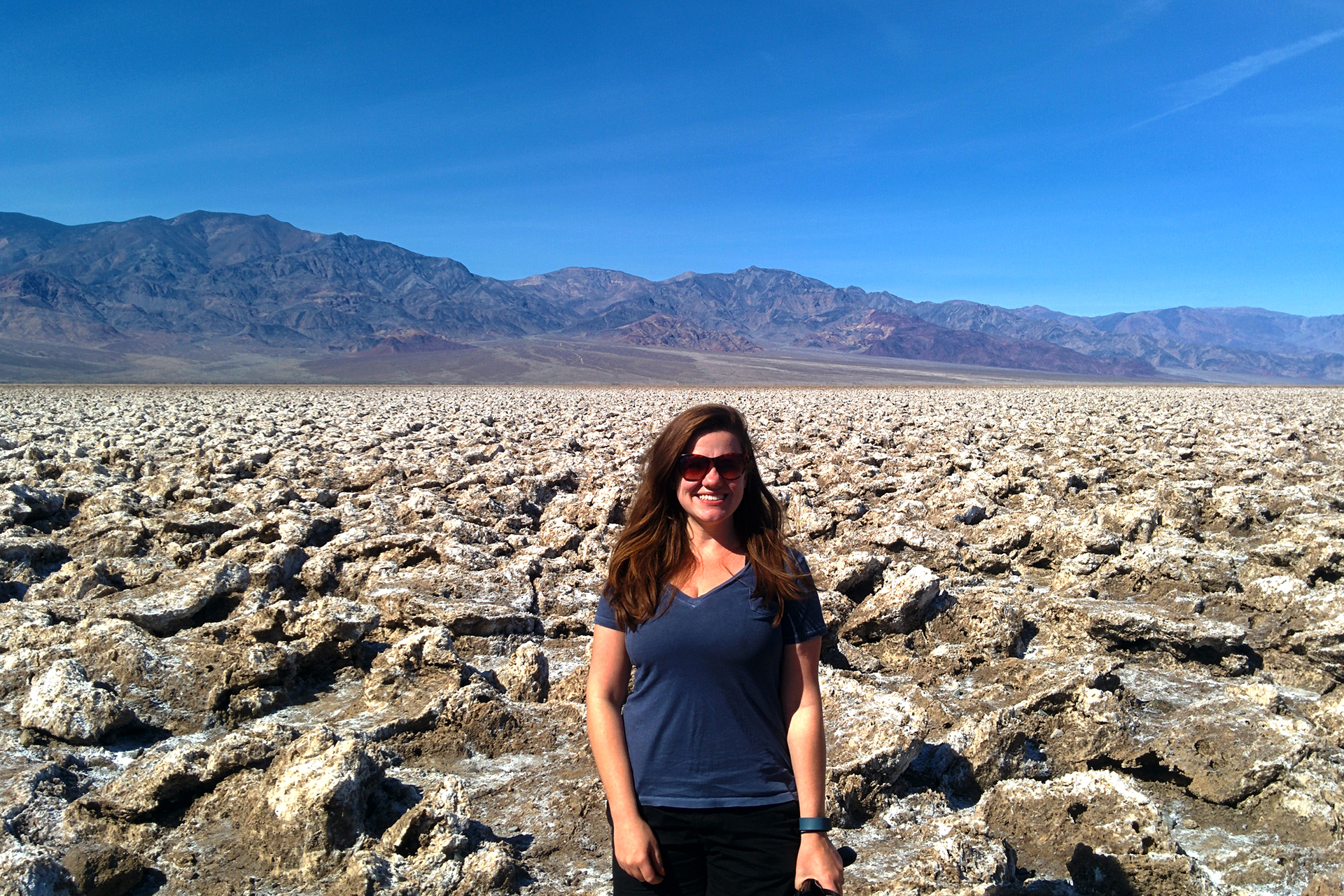
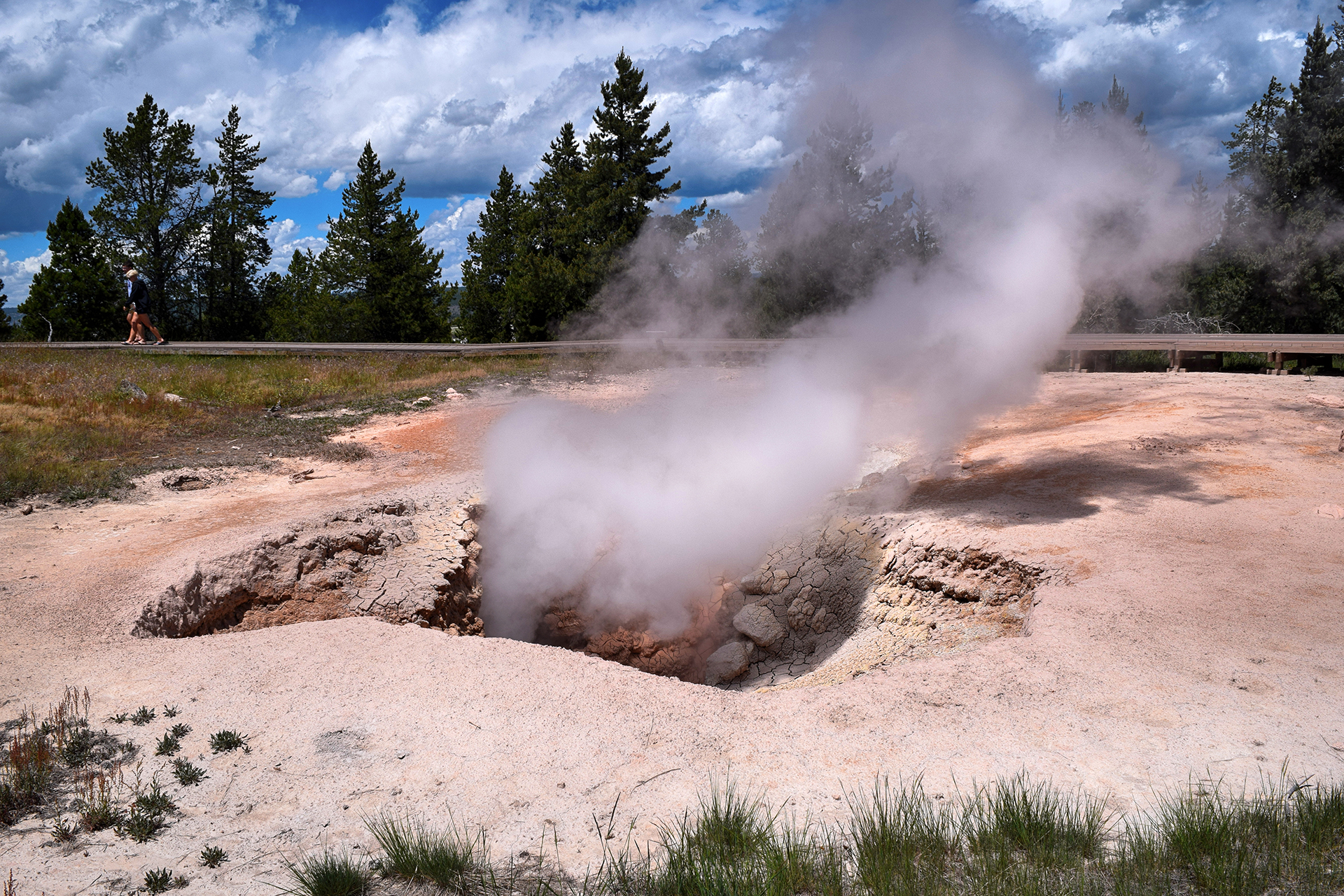
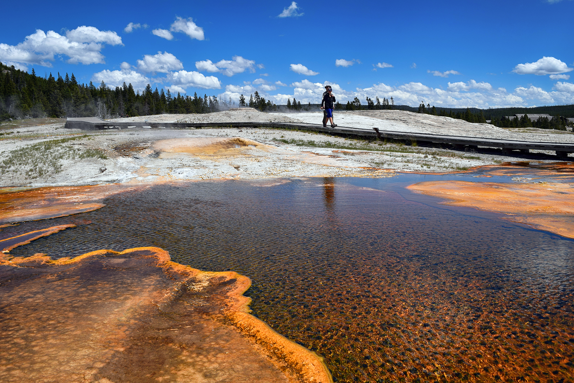
Aside from being pretty and smelly, these hydrothermal features are also wildly dangerous.  Some of the pools and geysers are at or above the boiling point for water, and they’re loaded with dangerous chemicals.  The ground is unstable.  The Park Service has built boardwalks everywhere, which are safe, and every year, people leave the boardwalk and die.

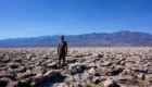
Seriously.  Right before we came to Yellowstone, a 23-year old Oregon man “essentially dissolved” after walking far off the boardwalk and falling into a hot spring.  That’s tragic, but there’s not much danger for more careful visitors.  We walked by the area where it happened: a barren, smoking field, no vegetation, sitting on top of super-heated water loaded with sulfuric acid.  (See the picture above.)

We’d rather walk through a minefield, but people routinely do crazy things here.  In fact, while we were looking at geysers, we saw some international tourists walk off a boardwalk, bend down, and taste the water from a random hot spring.

God!  We think this warning sign says it all.
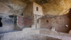
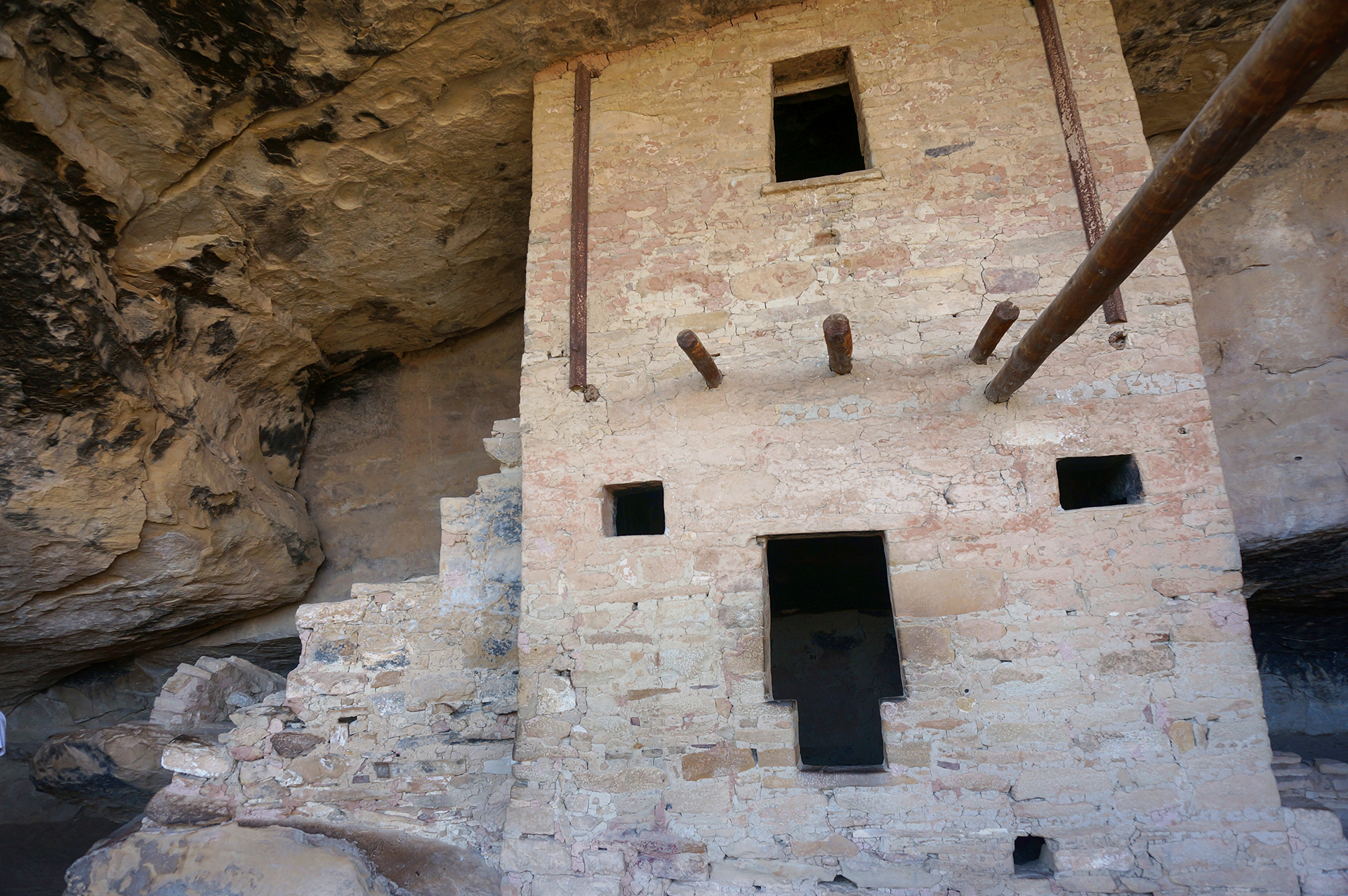
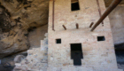
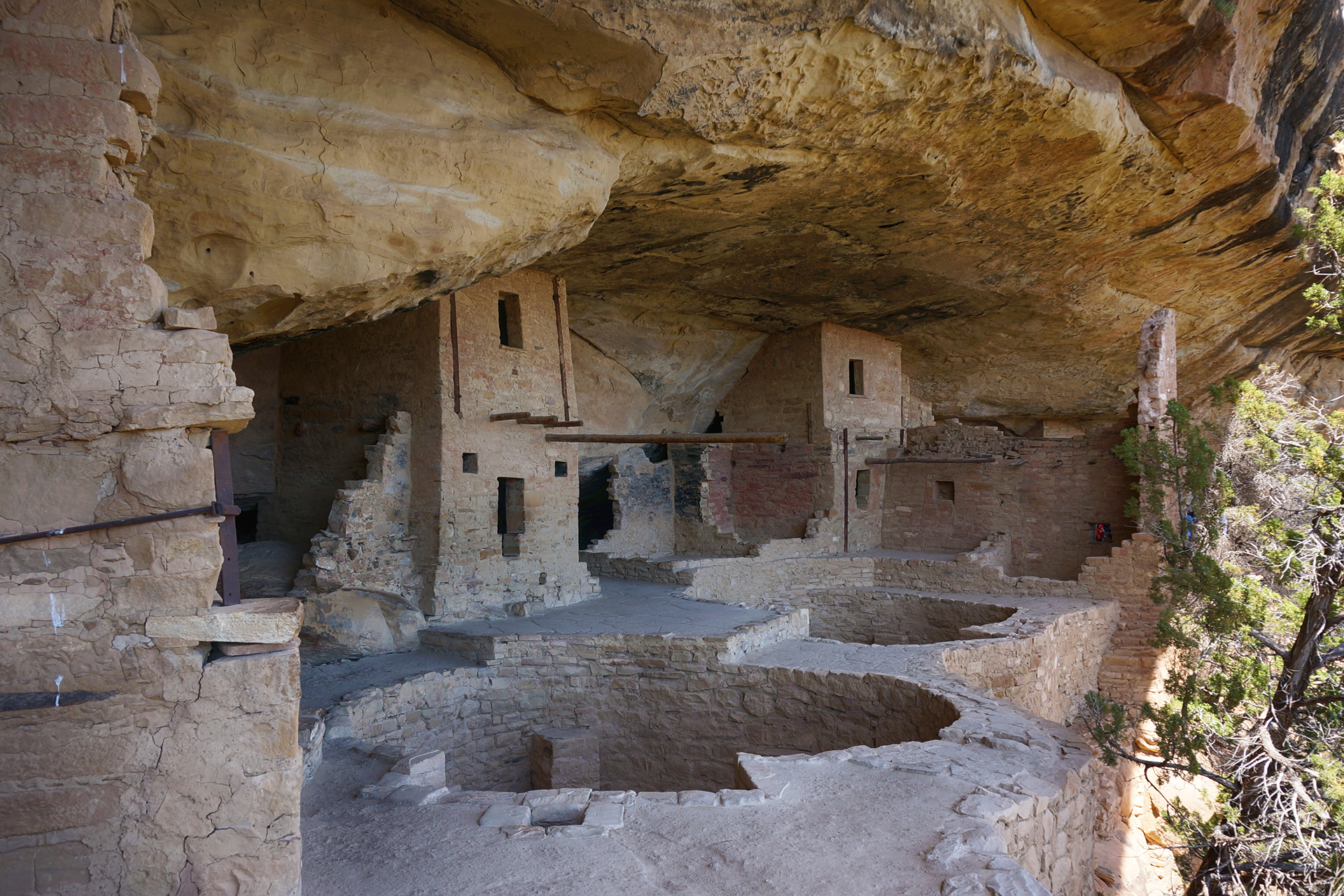
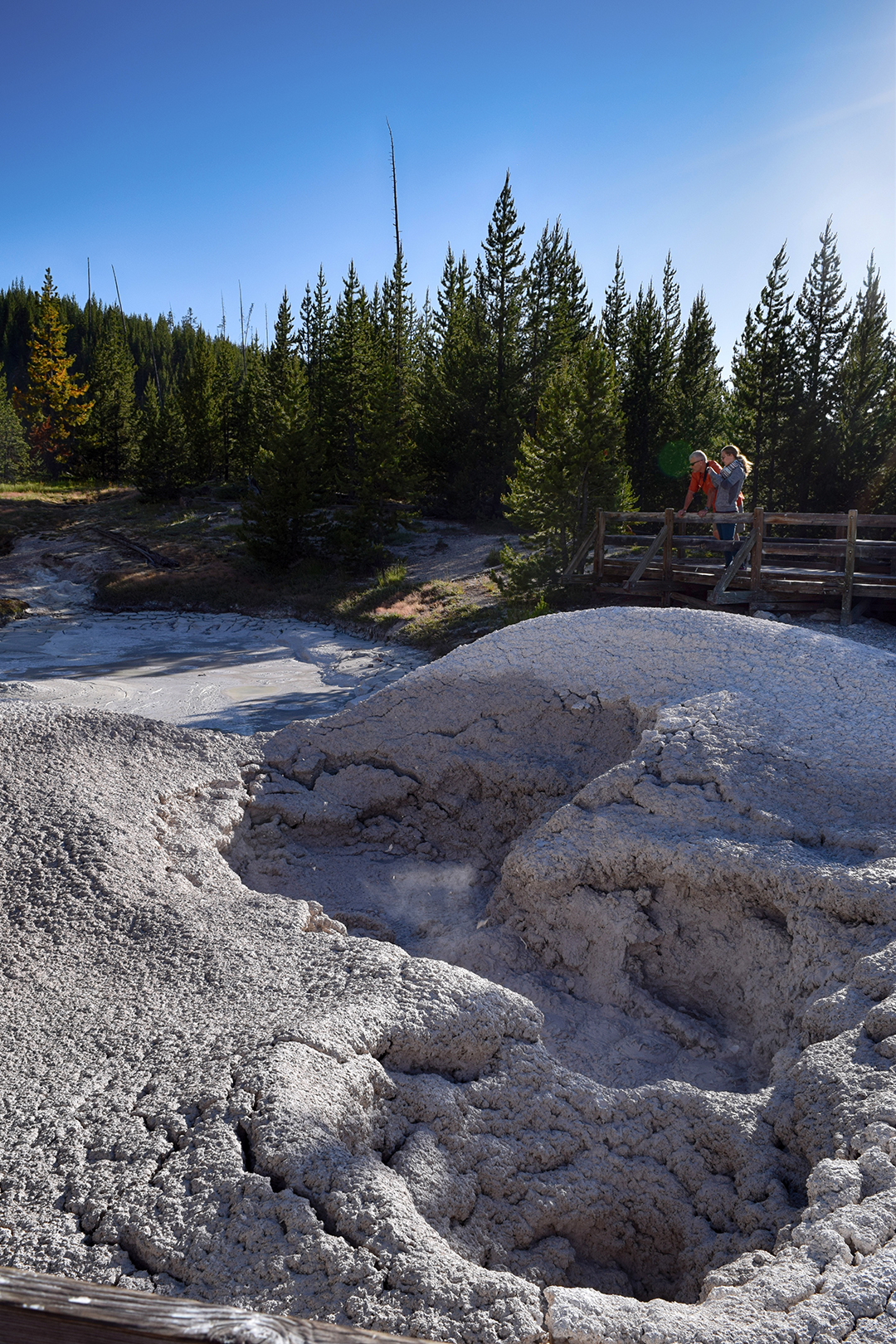
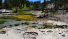
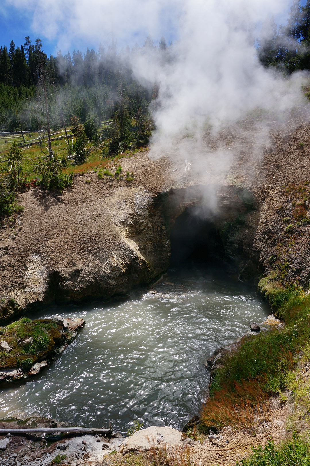
Hot Springs

The final hydrothermal feature at Yellowstone are the hot springs.  We stayed just north of the park, in Gardiner, Montana – incidentally, the most expensive RV lodging of our entire trip – and we were located very close to Mammoth Hot Springs.

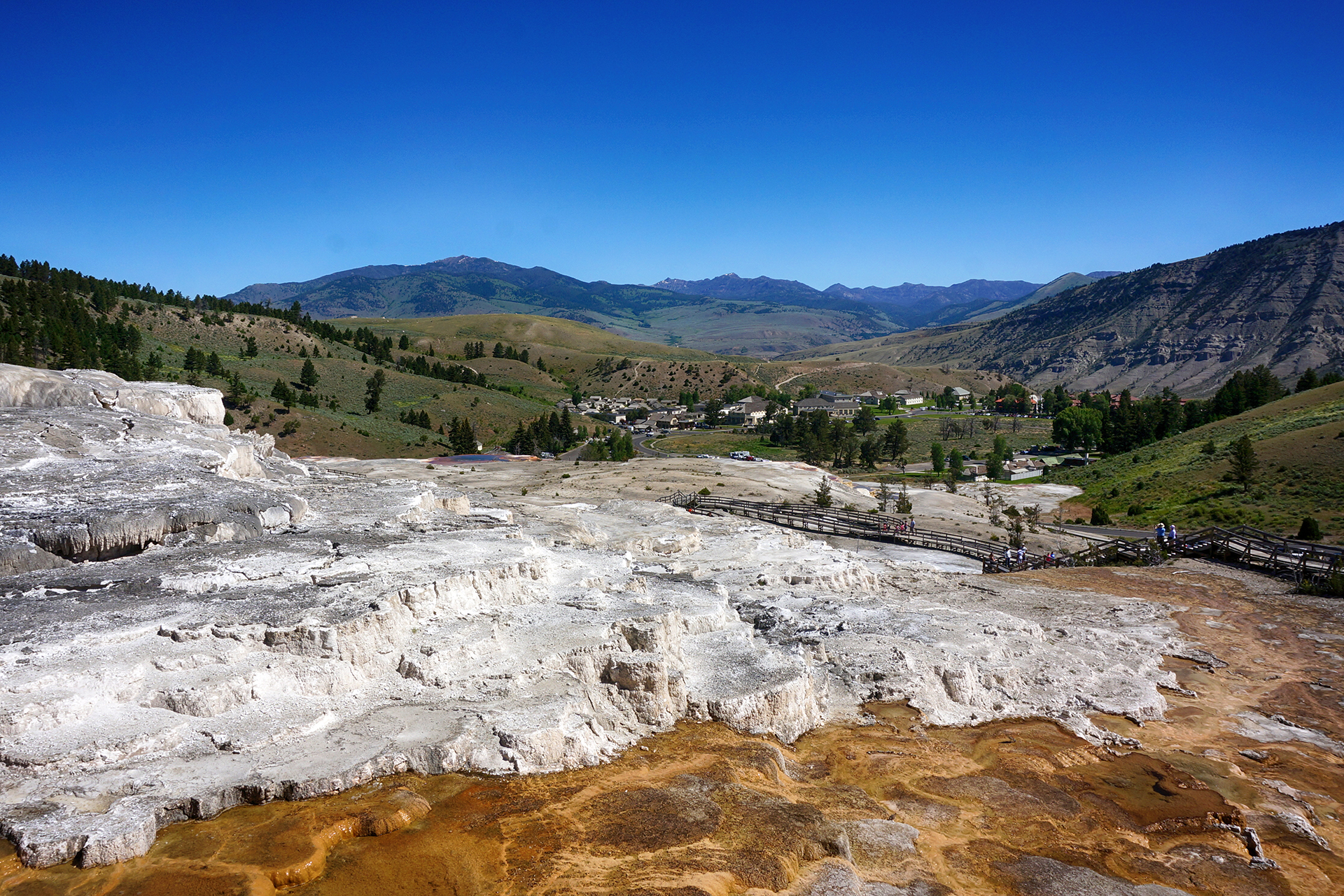
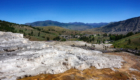
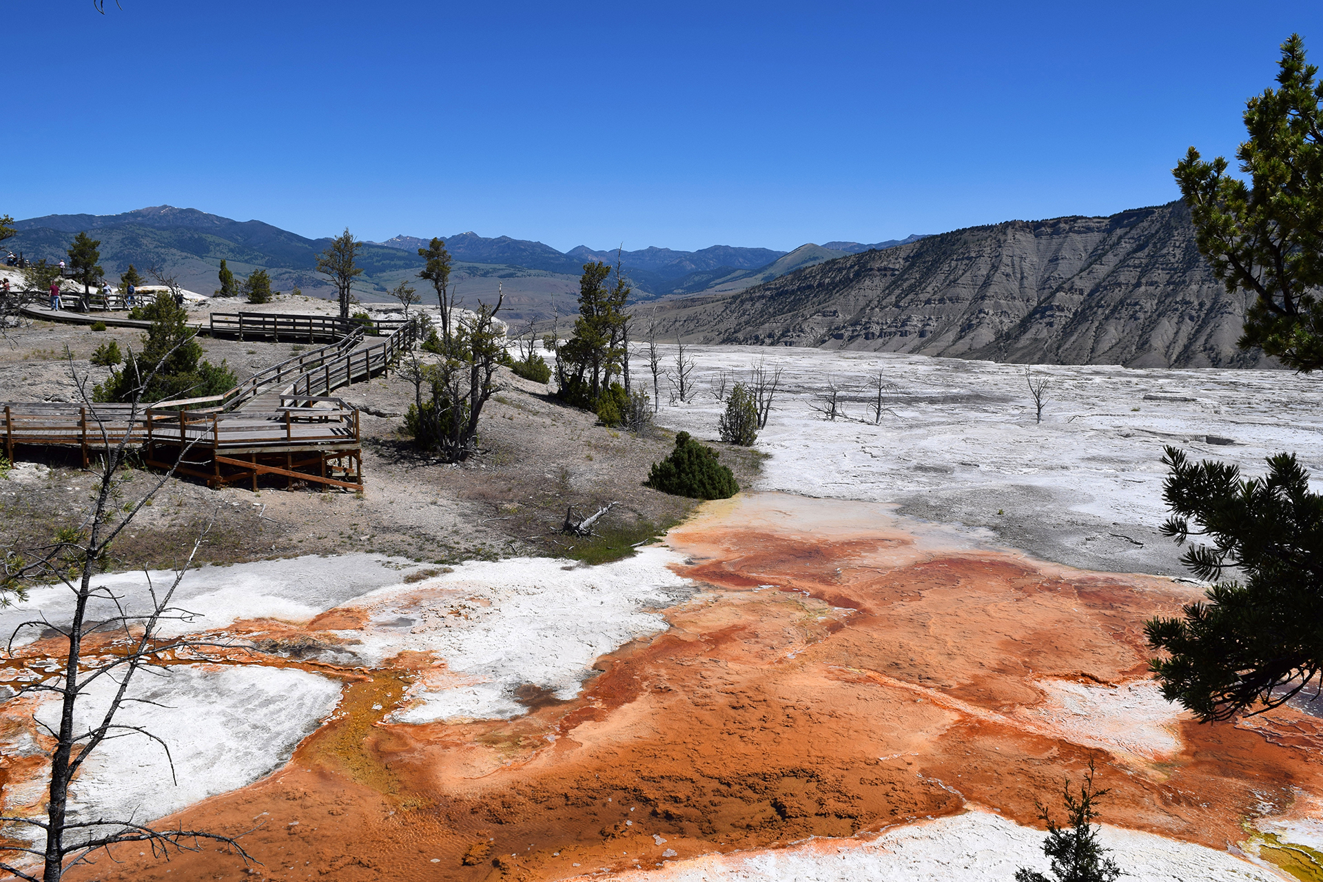
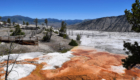
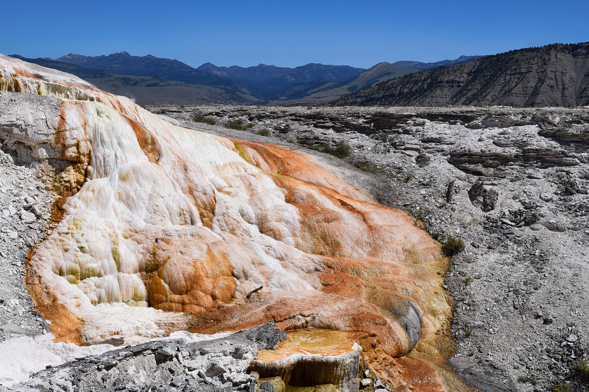
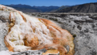
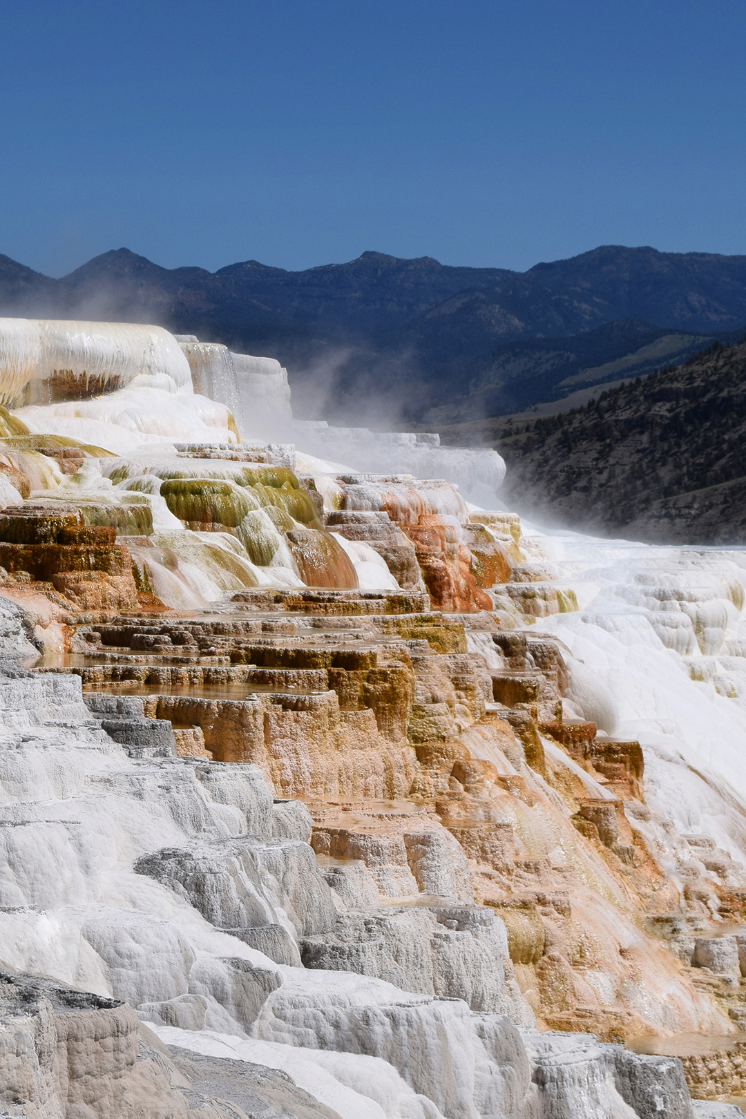
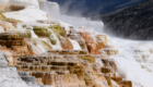
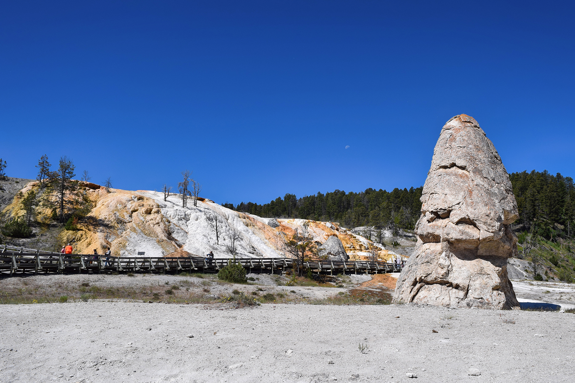
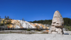
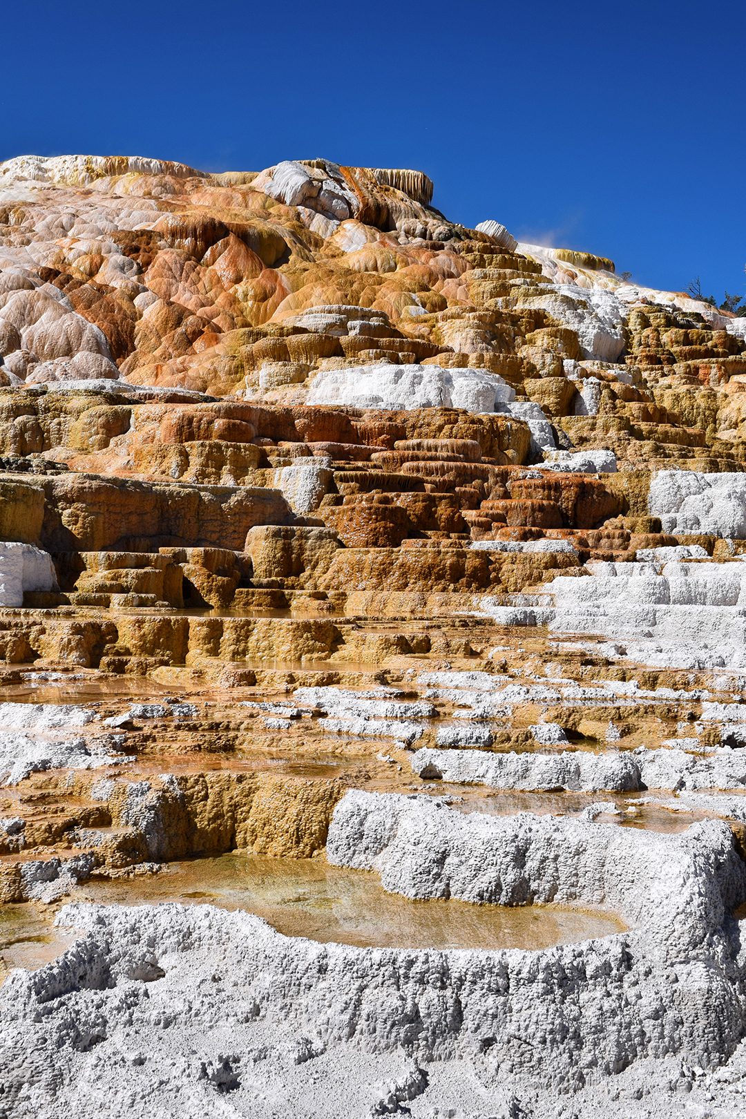
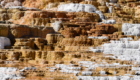
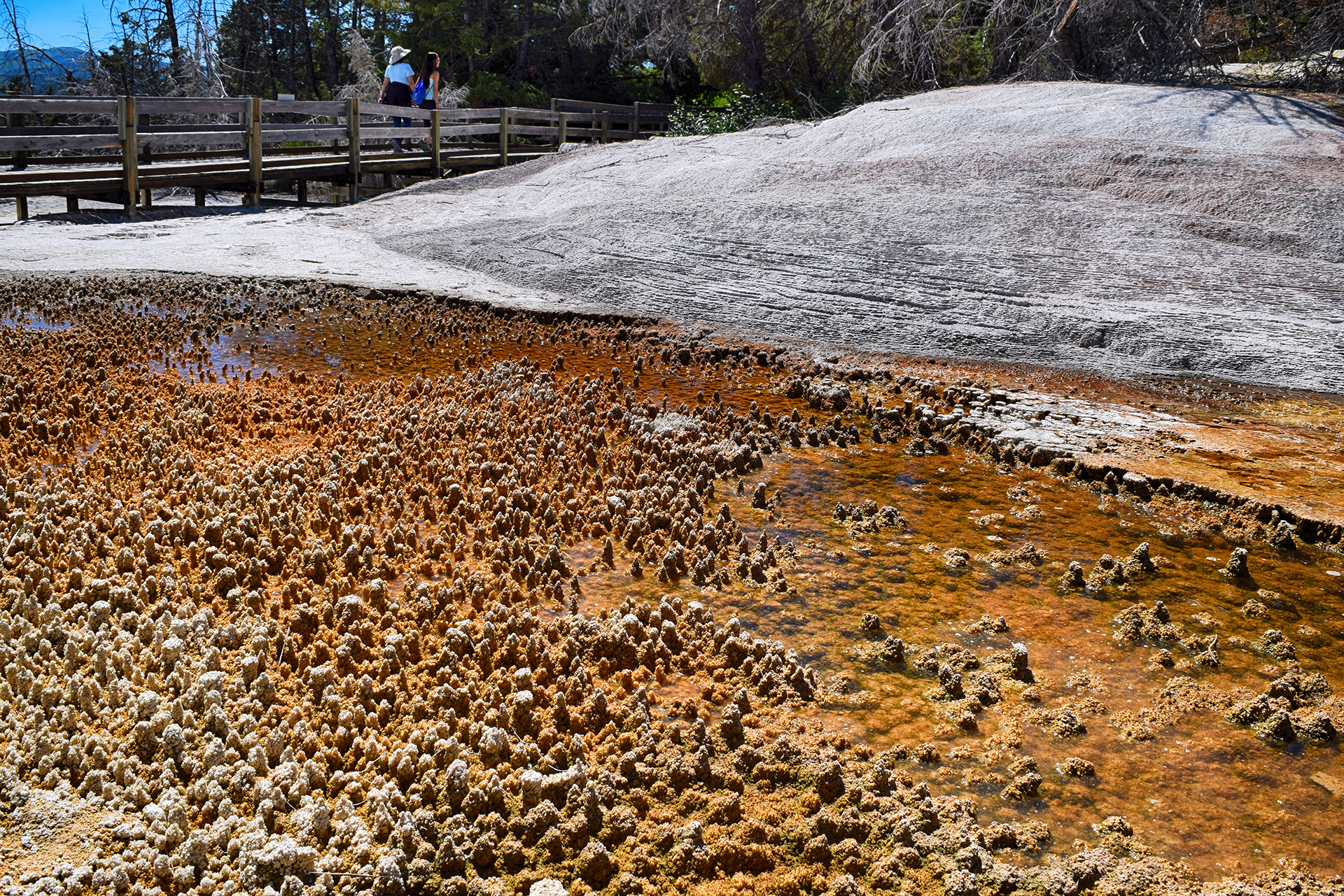
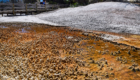
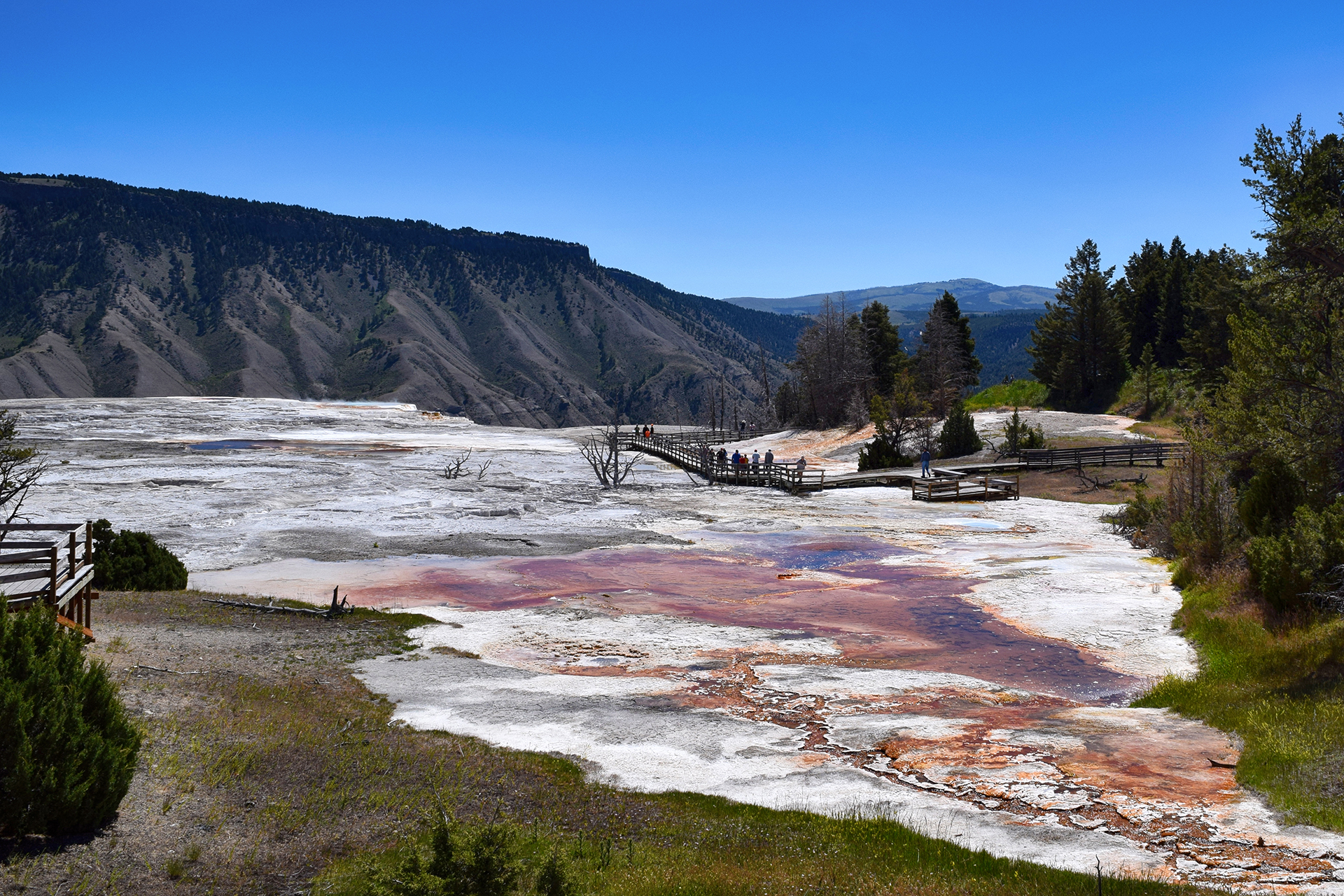
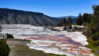
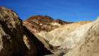
The bubbling springs here have created brightly-colored mineral deposits, and they form in pleasing geometric shapes.  It’s almost like shelves.

Like all the hydrothermal features in Yellowstone, the springs are inherently unstable.  Geysers and pools shift, drain, and refill based on movements deep within the earth.  At Mammoth, the springs sometimes dry up in one place and restart in another, leaving behind a bone-white skeleton.
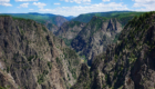
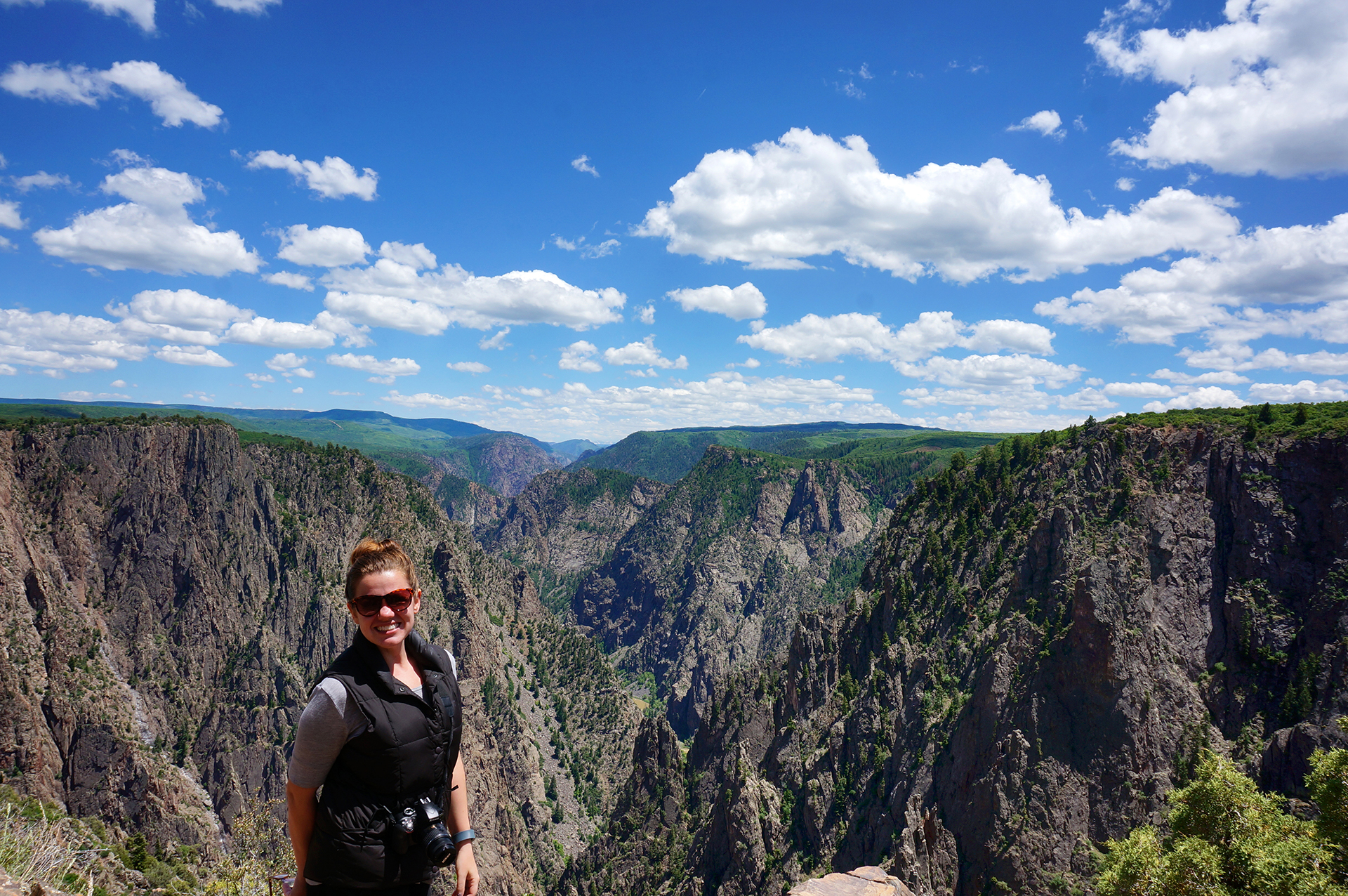
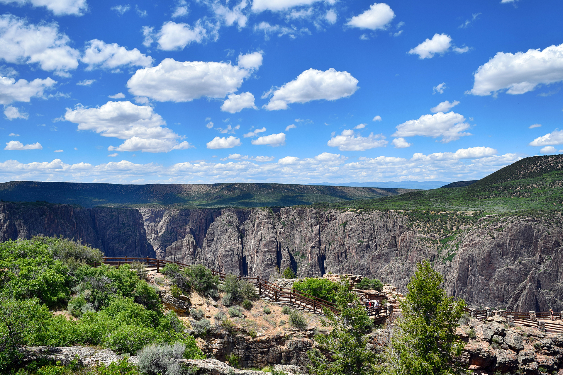
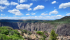
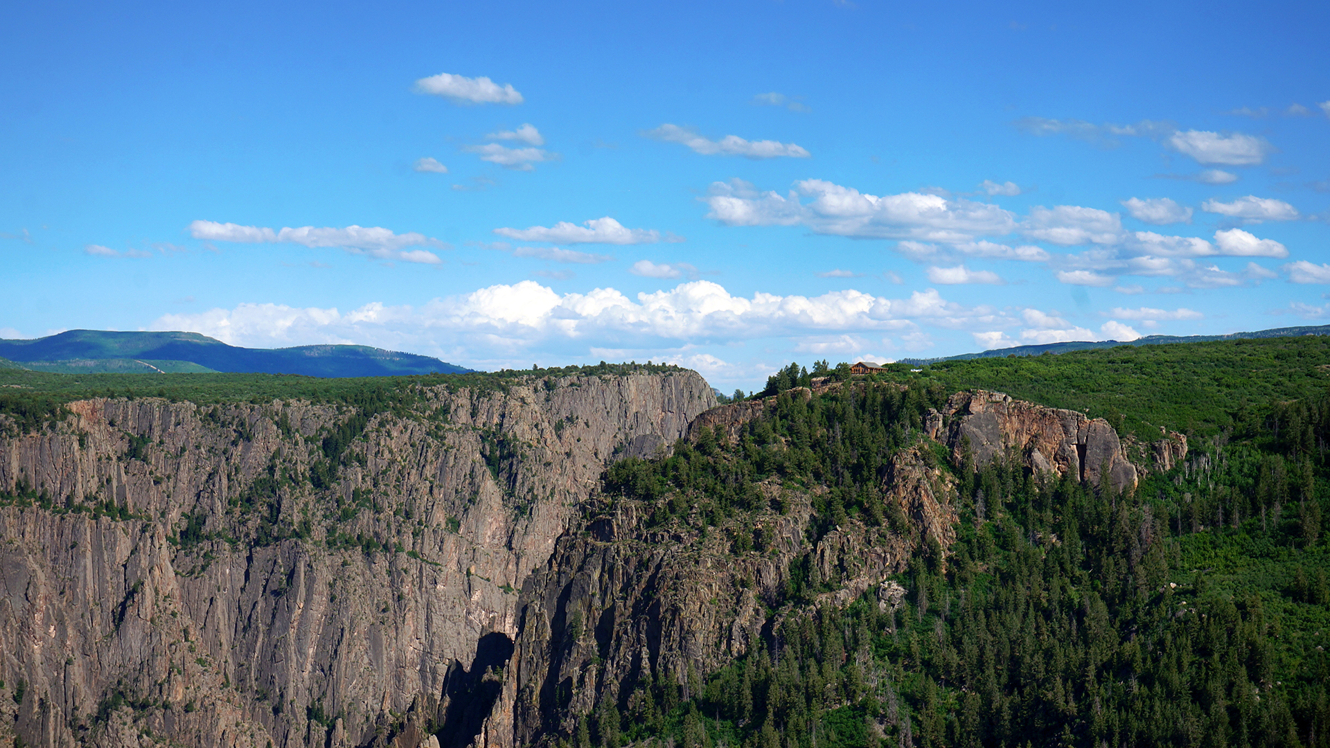
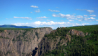
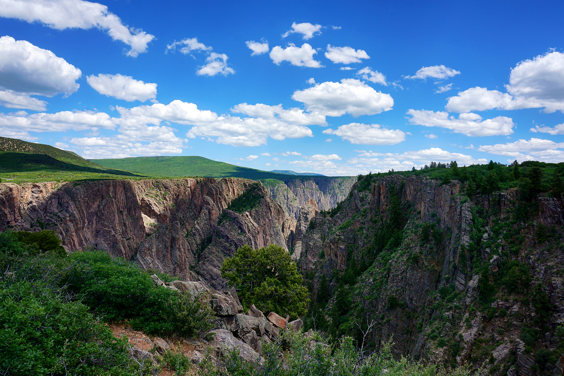
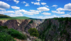
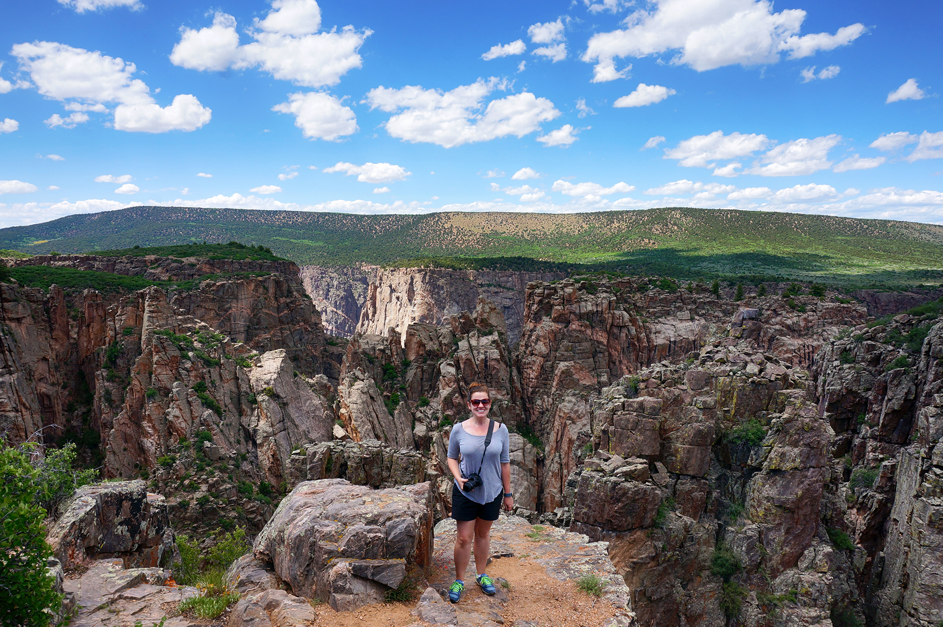
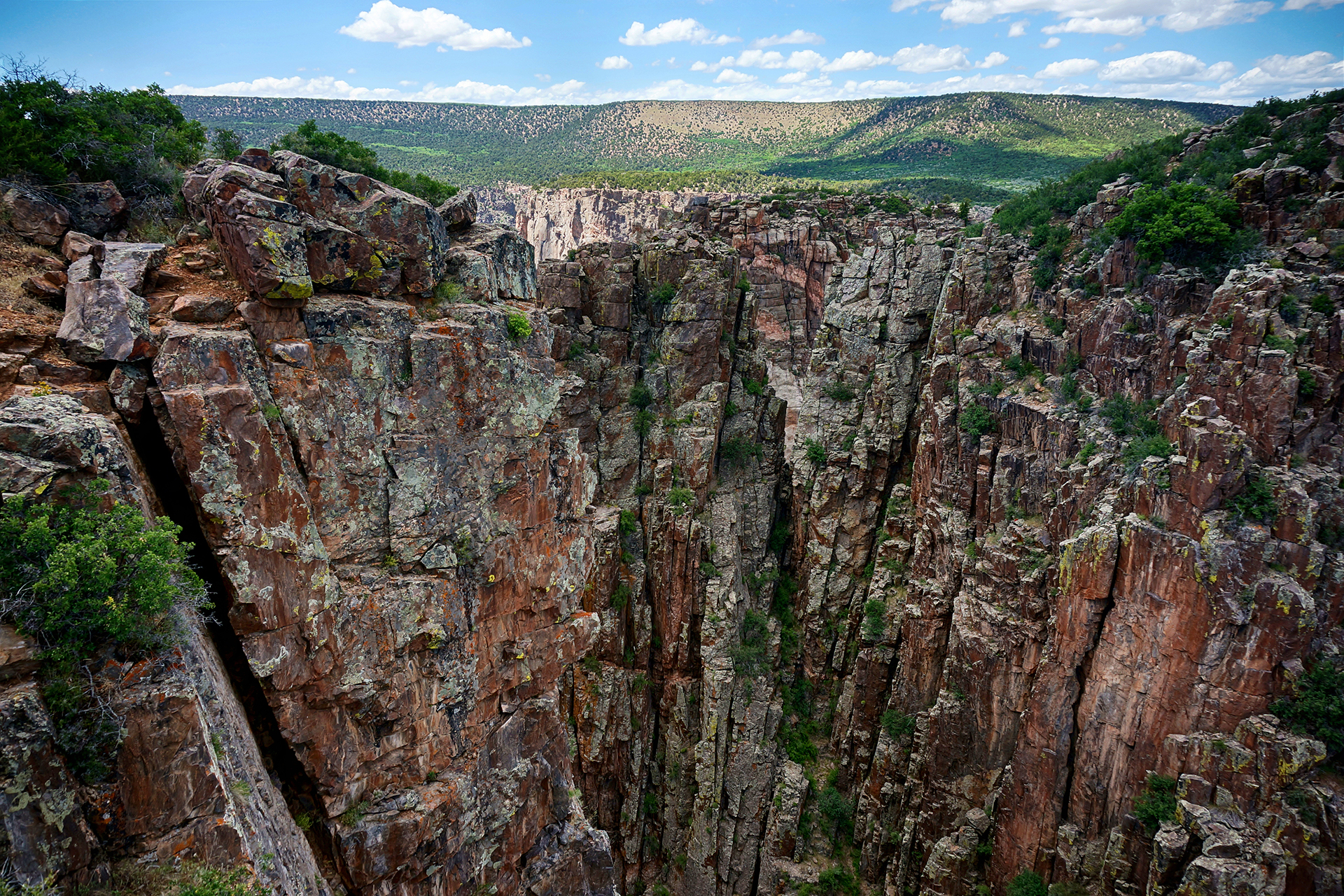
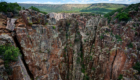
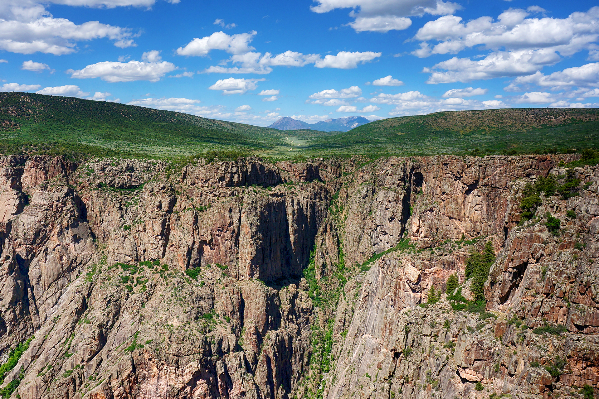
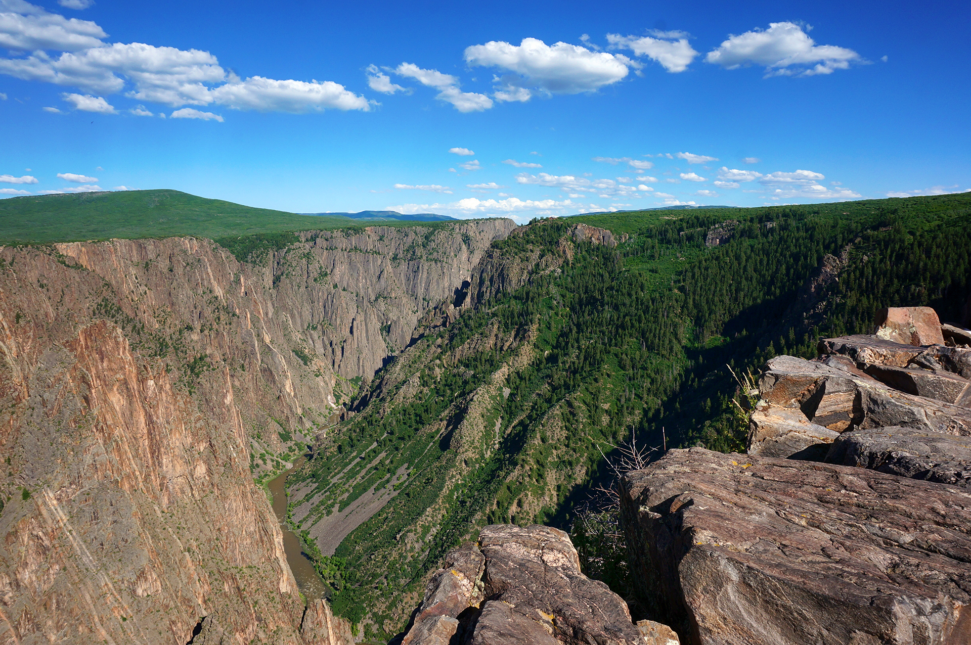
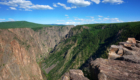
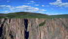
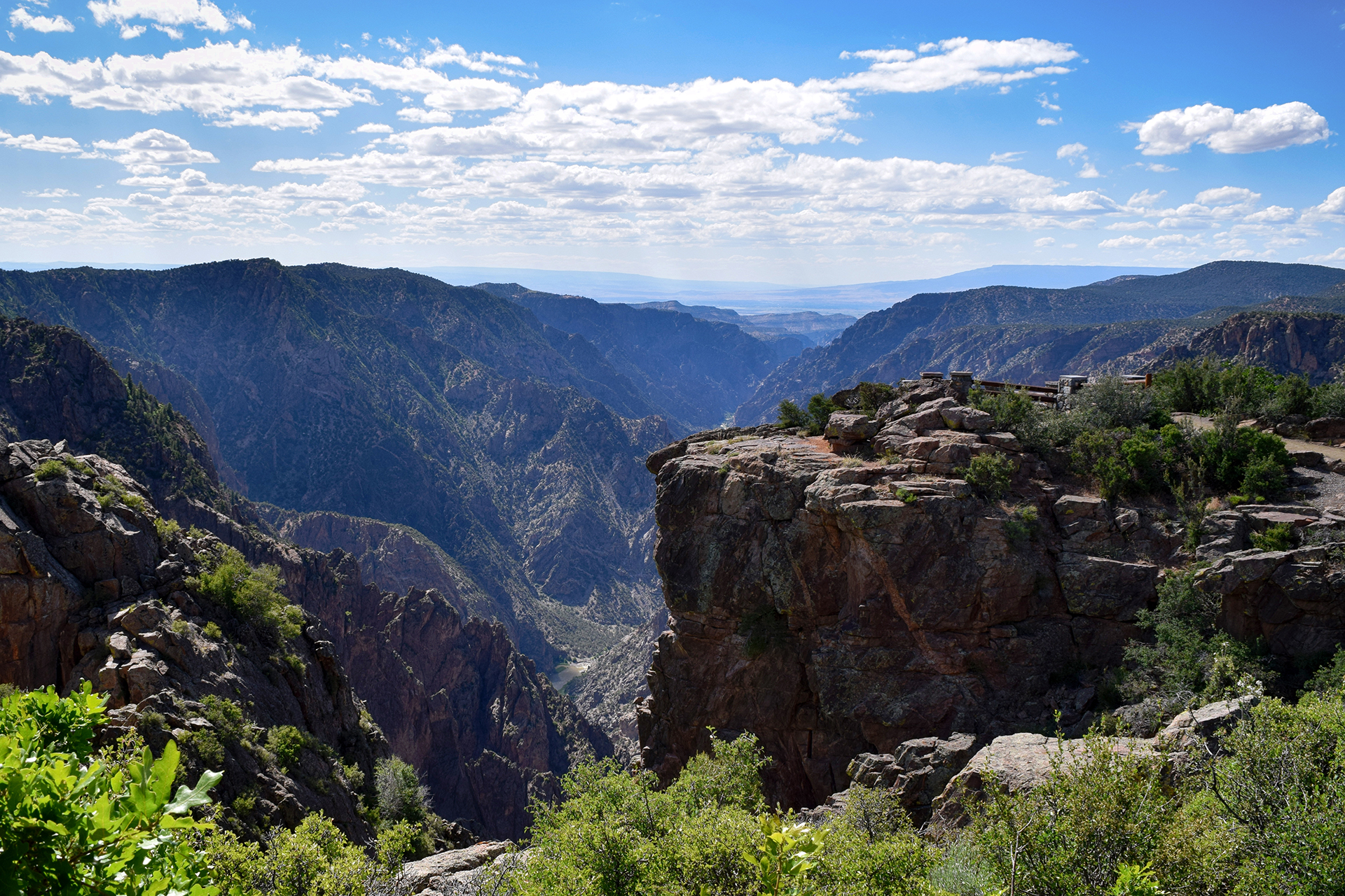
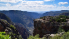
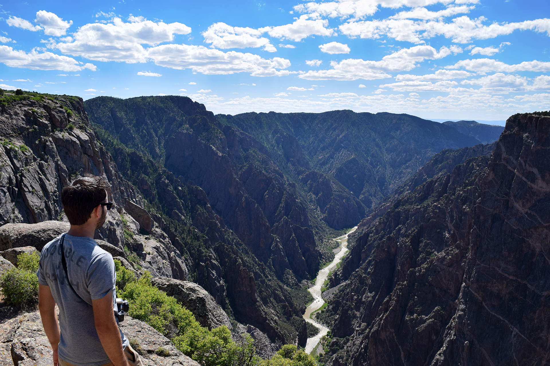
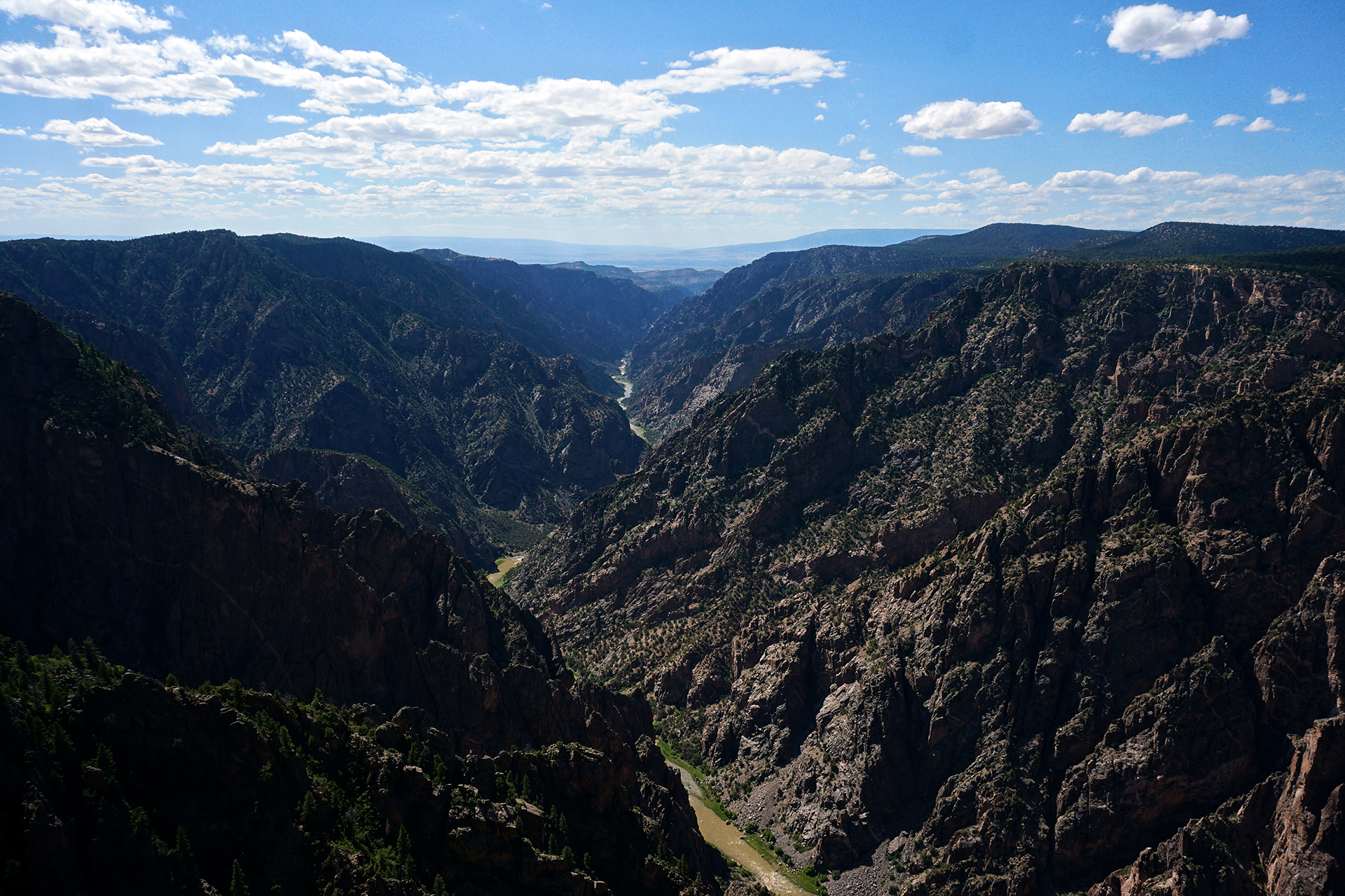
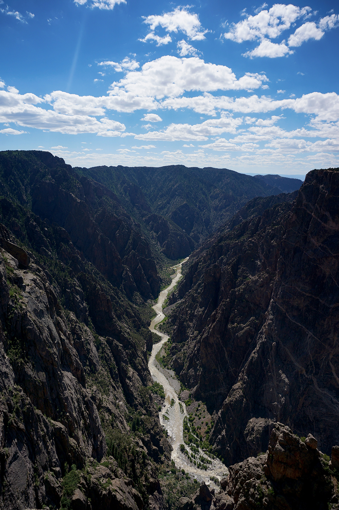
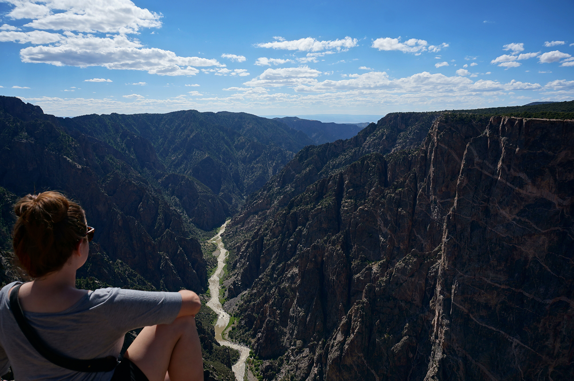
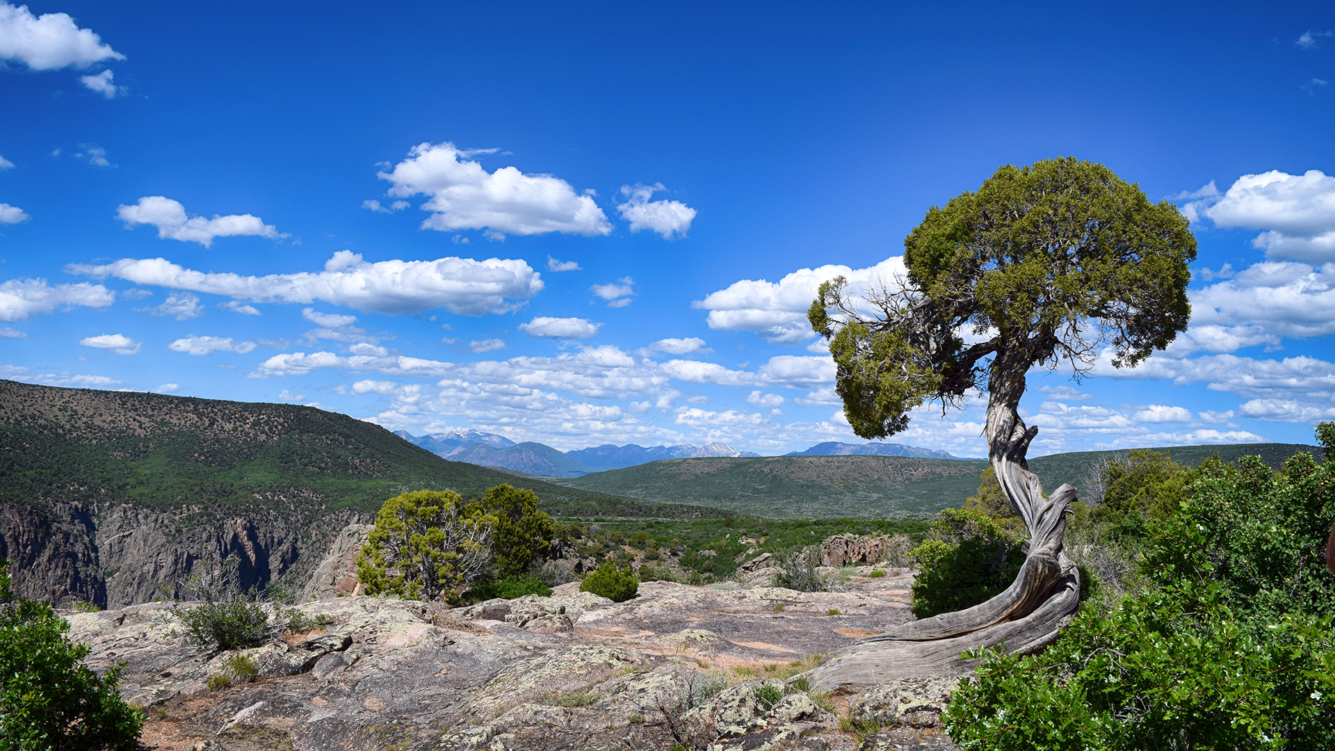
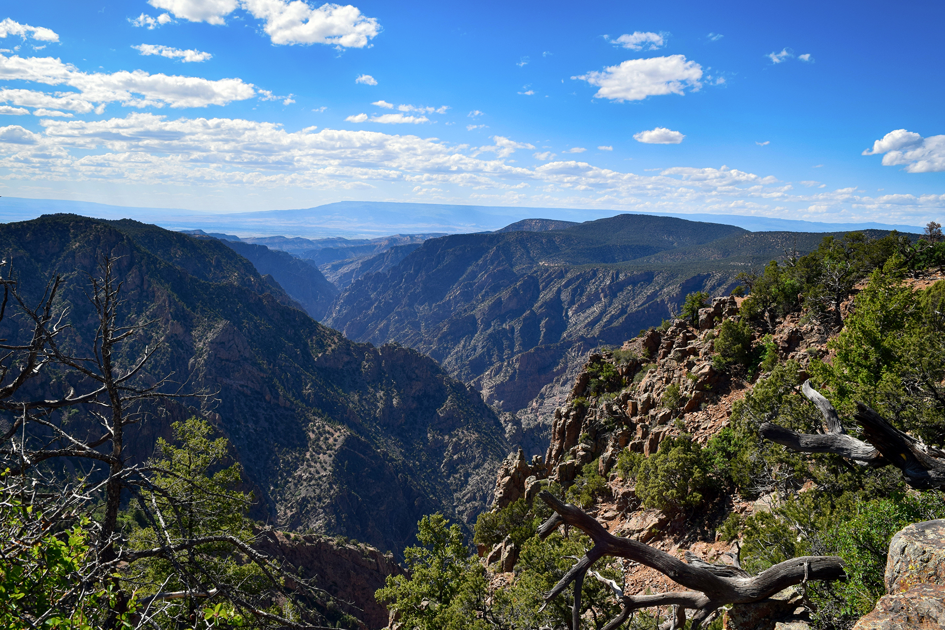
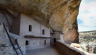
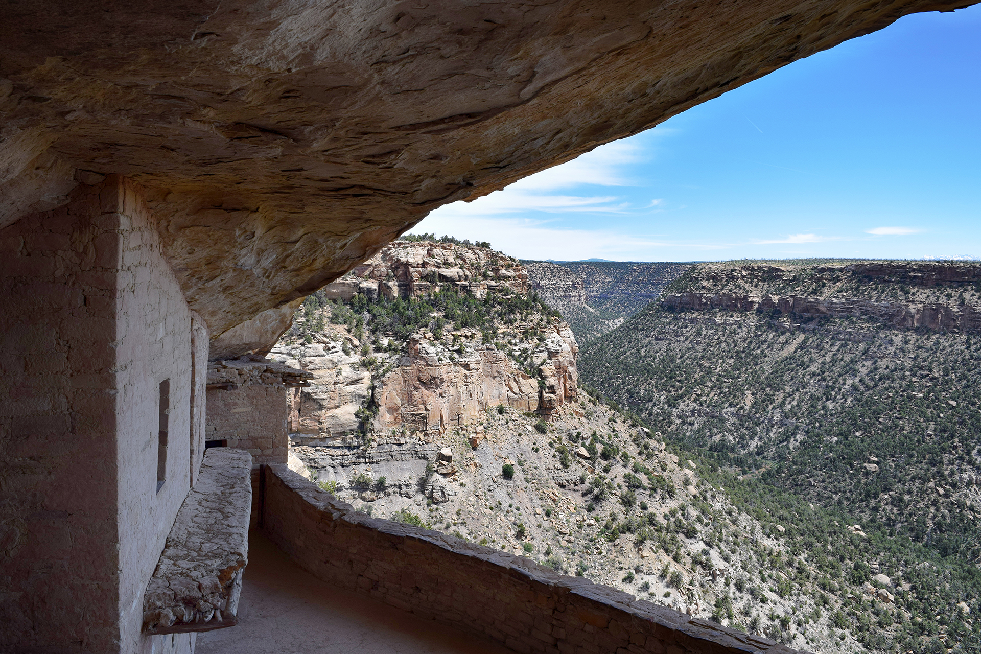
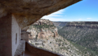
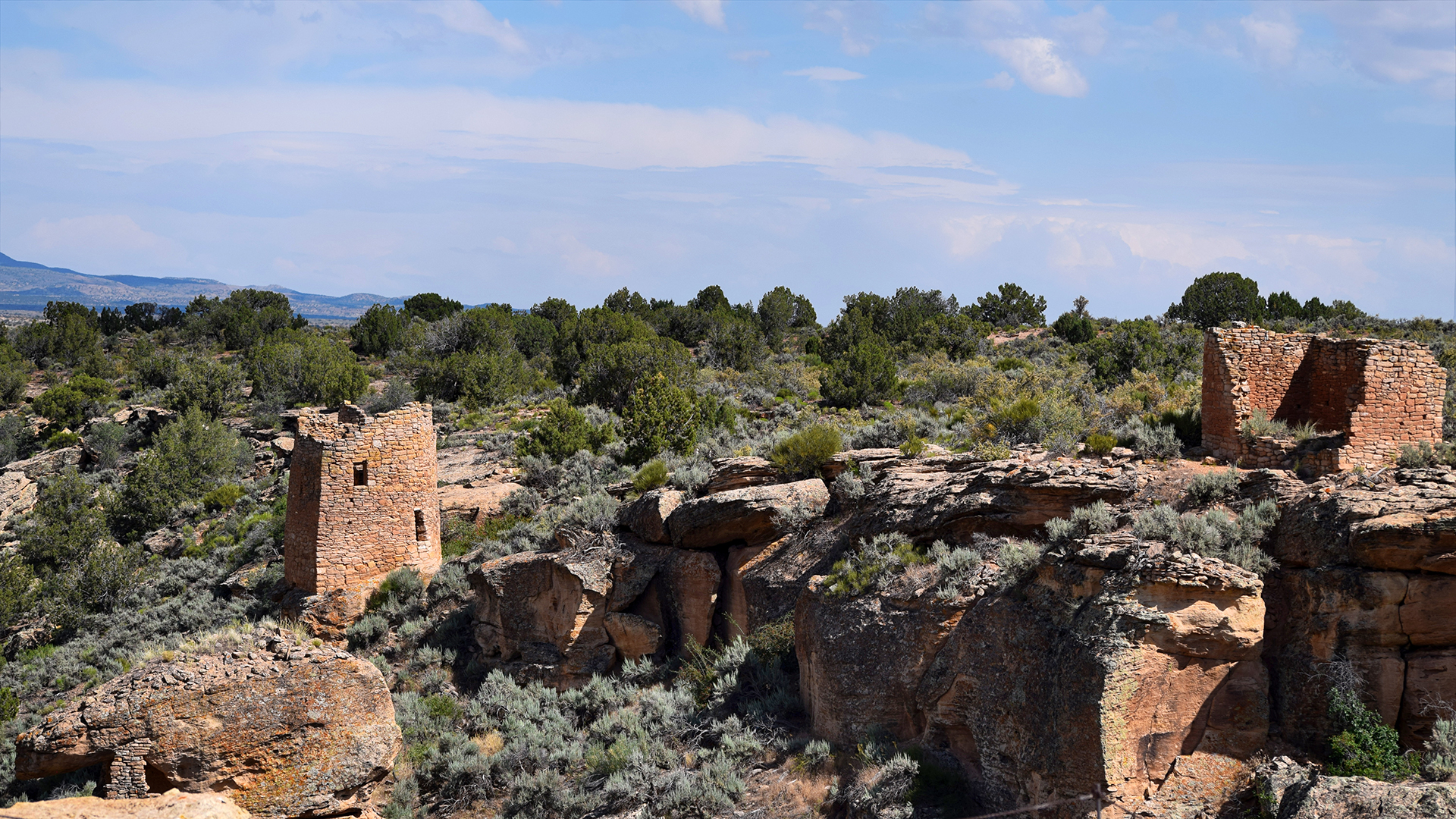
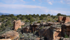
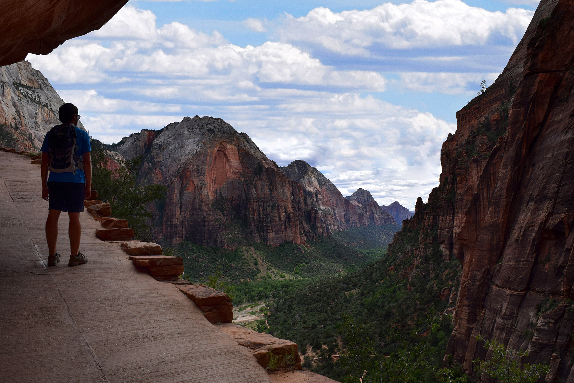
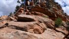
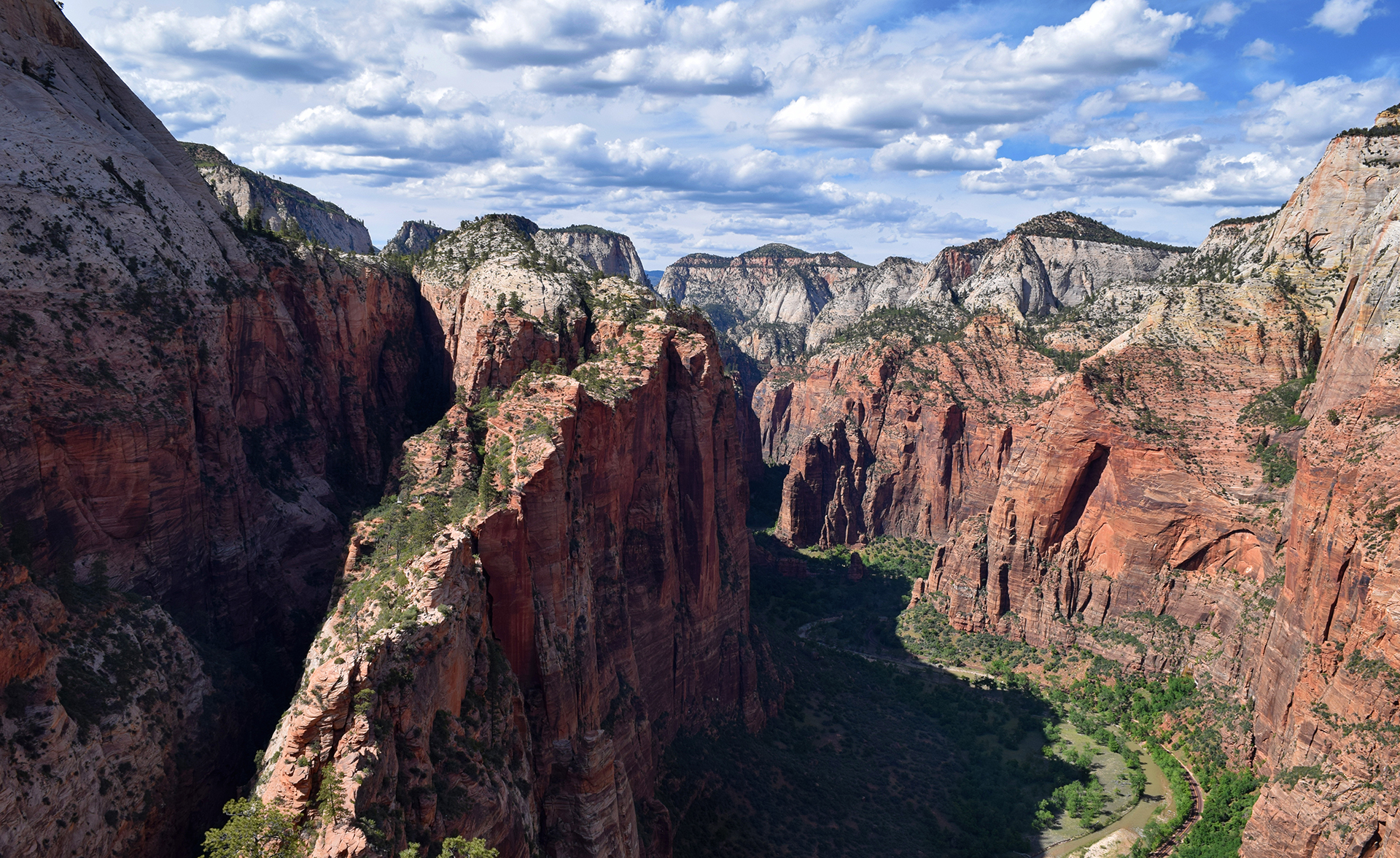
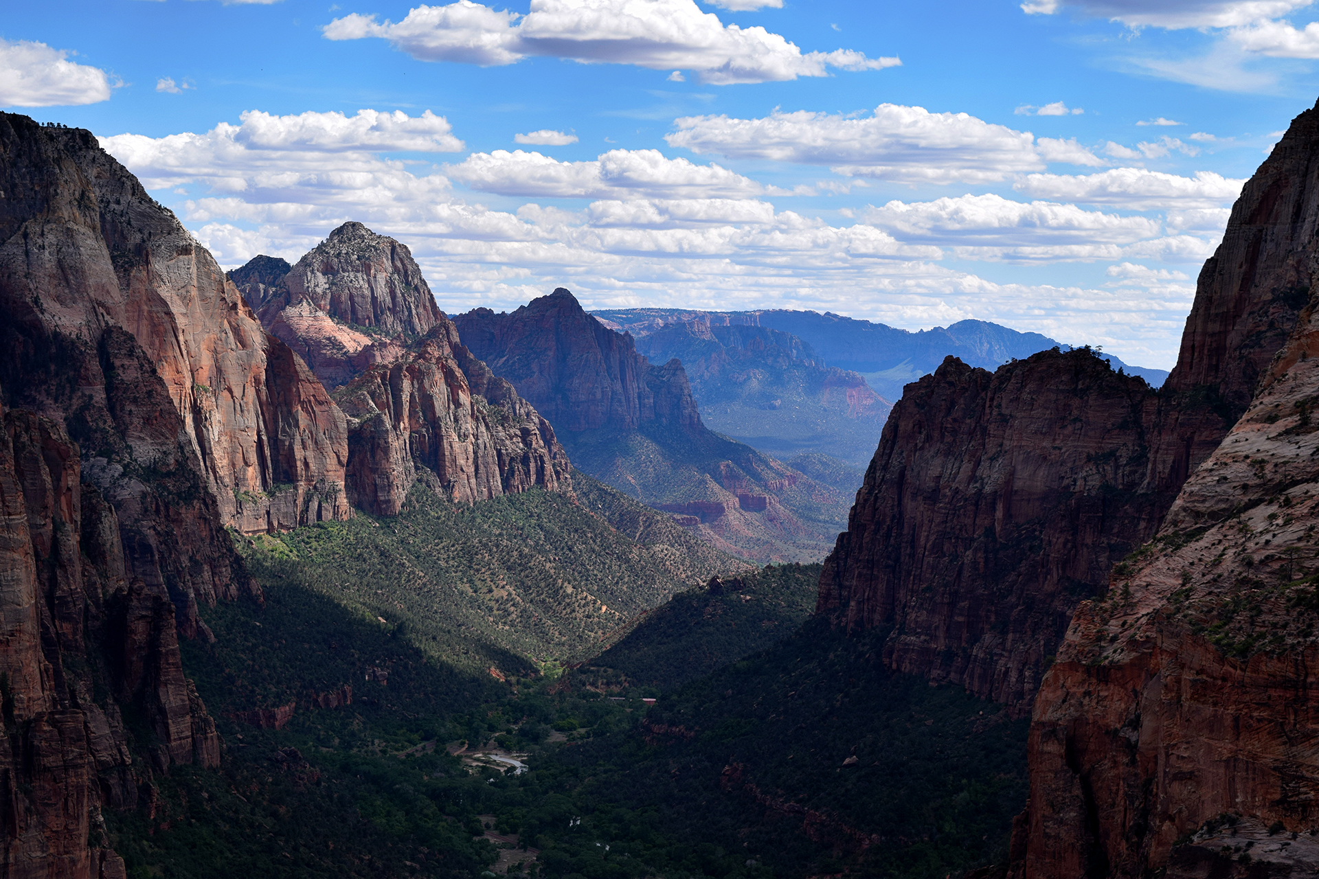
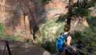
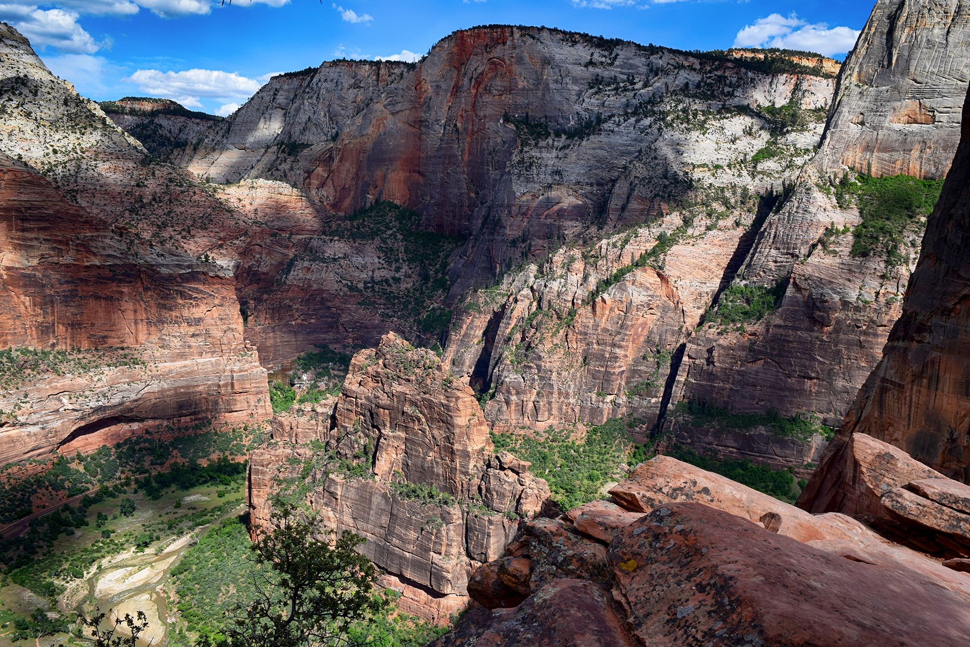
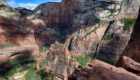
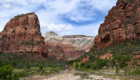
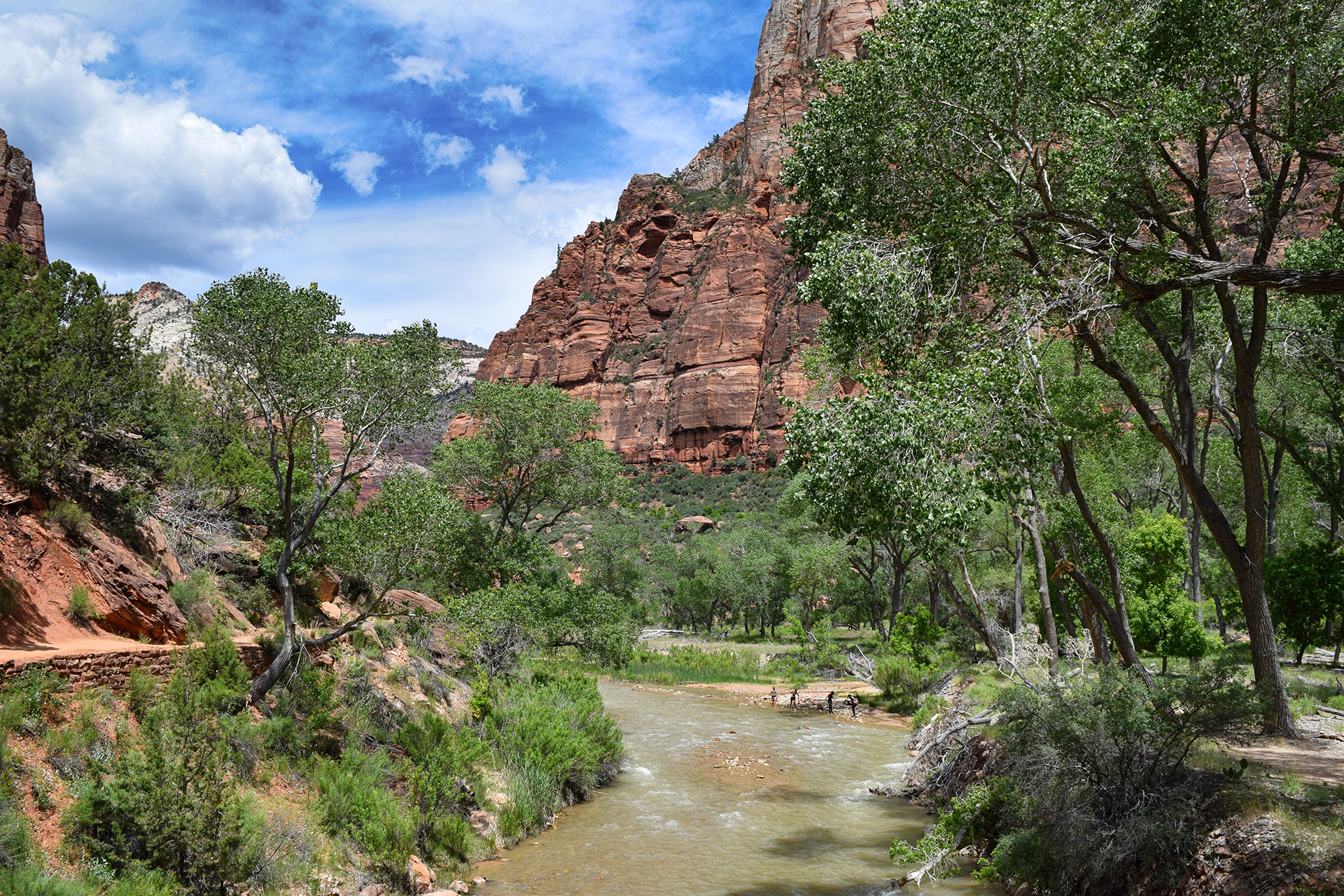
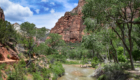
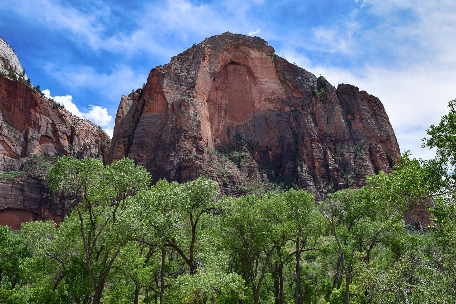
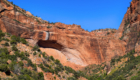
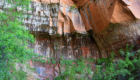
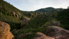
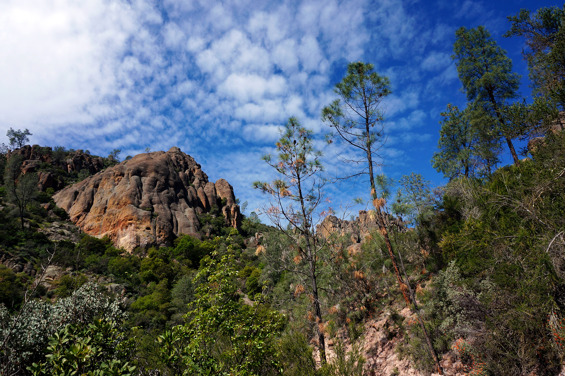
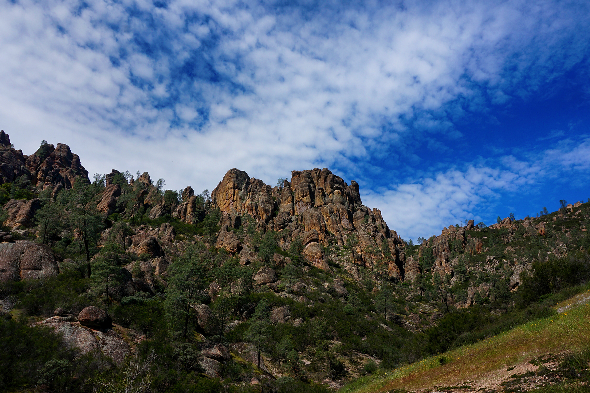
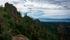
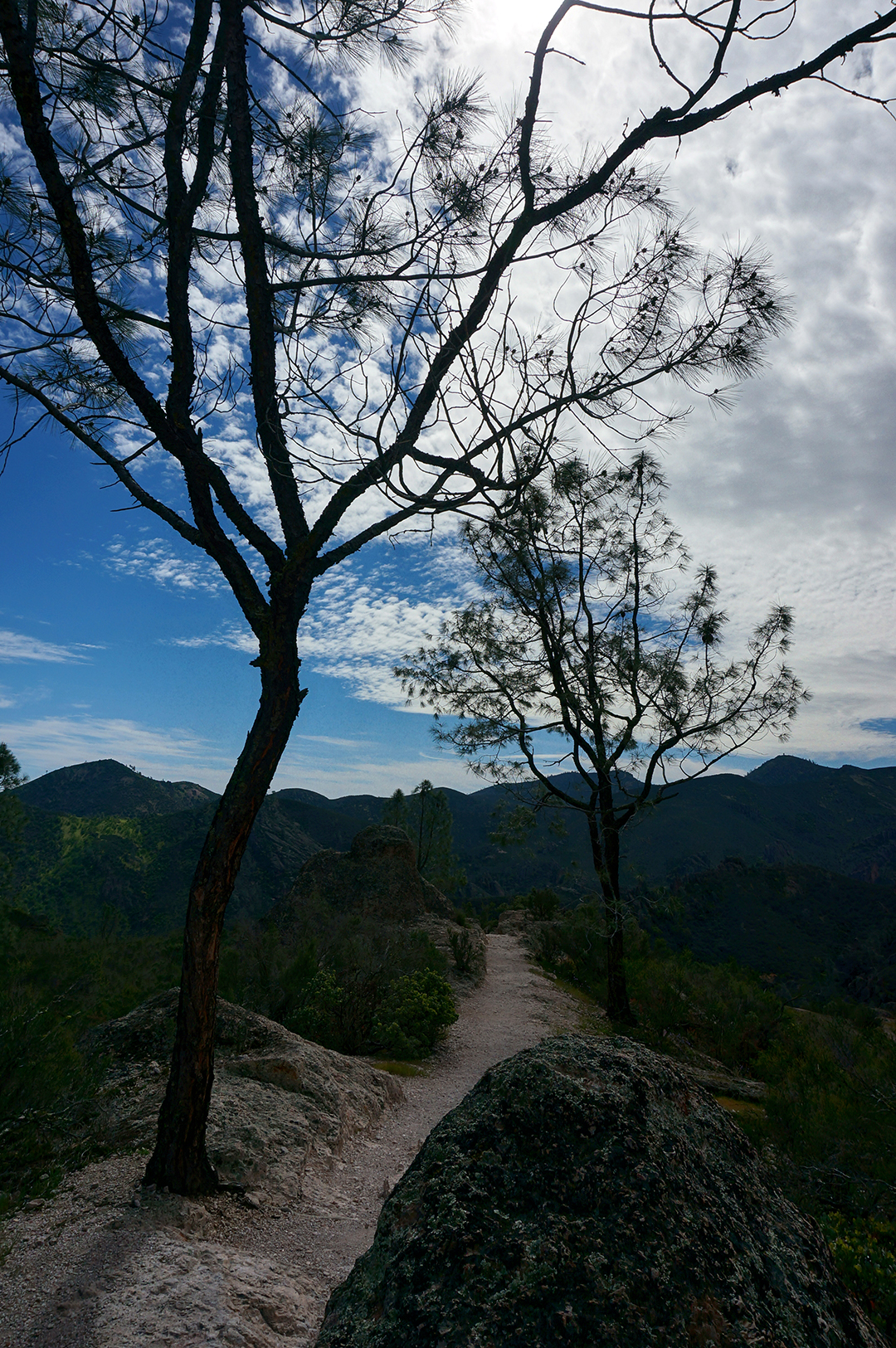
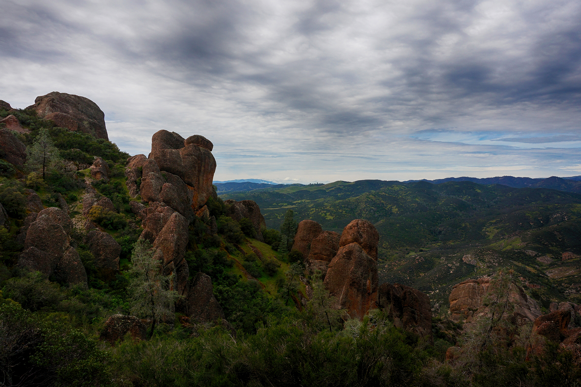
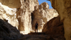
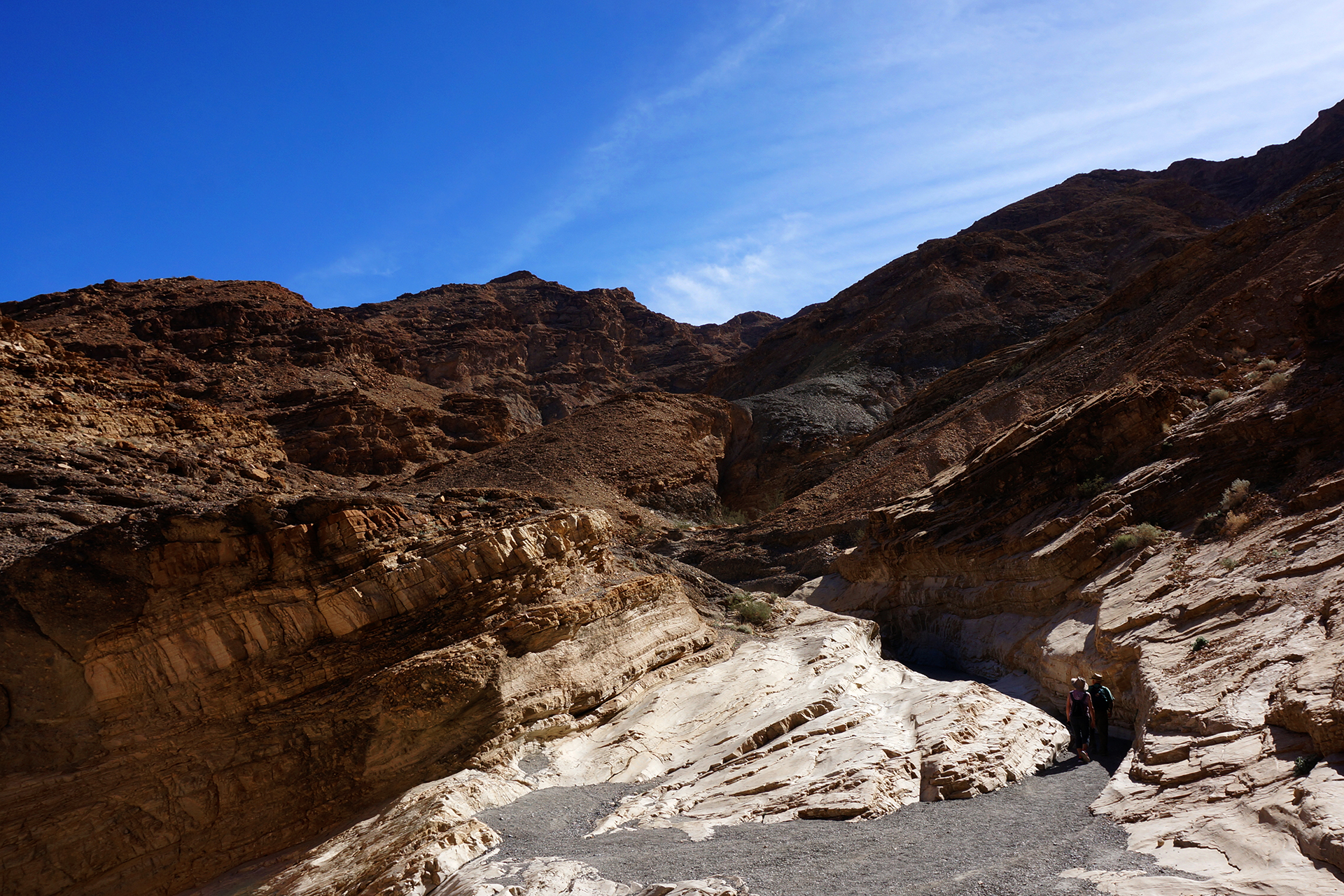
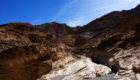
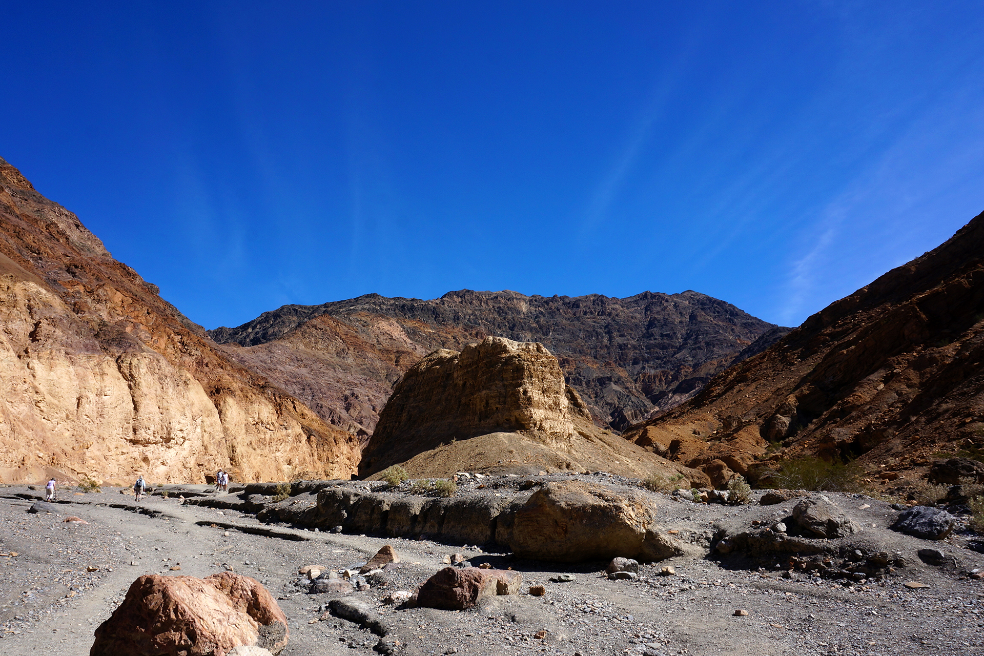
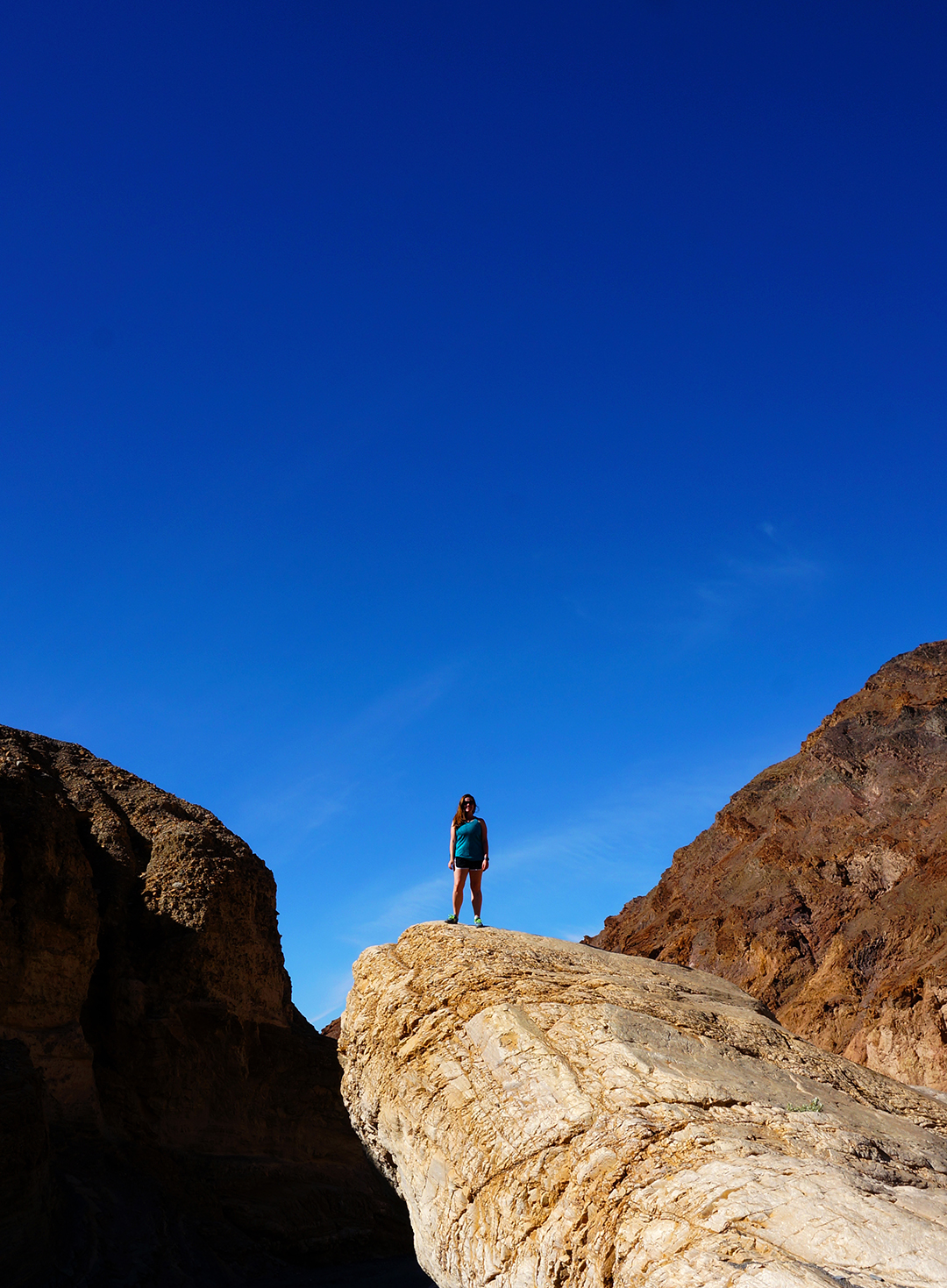
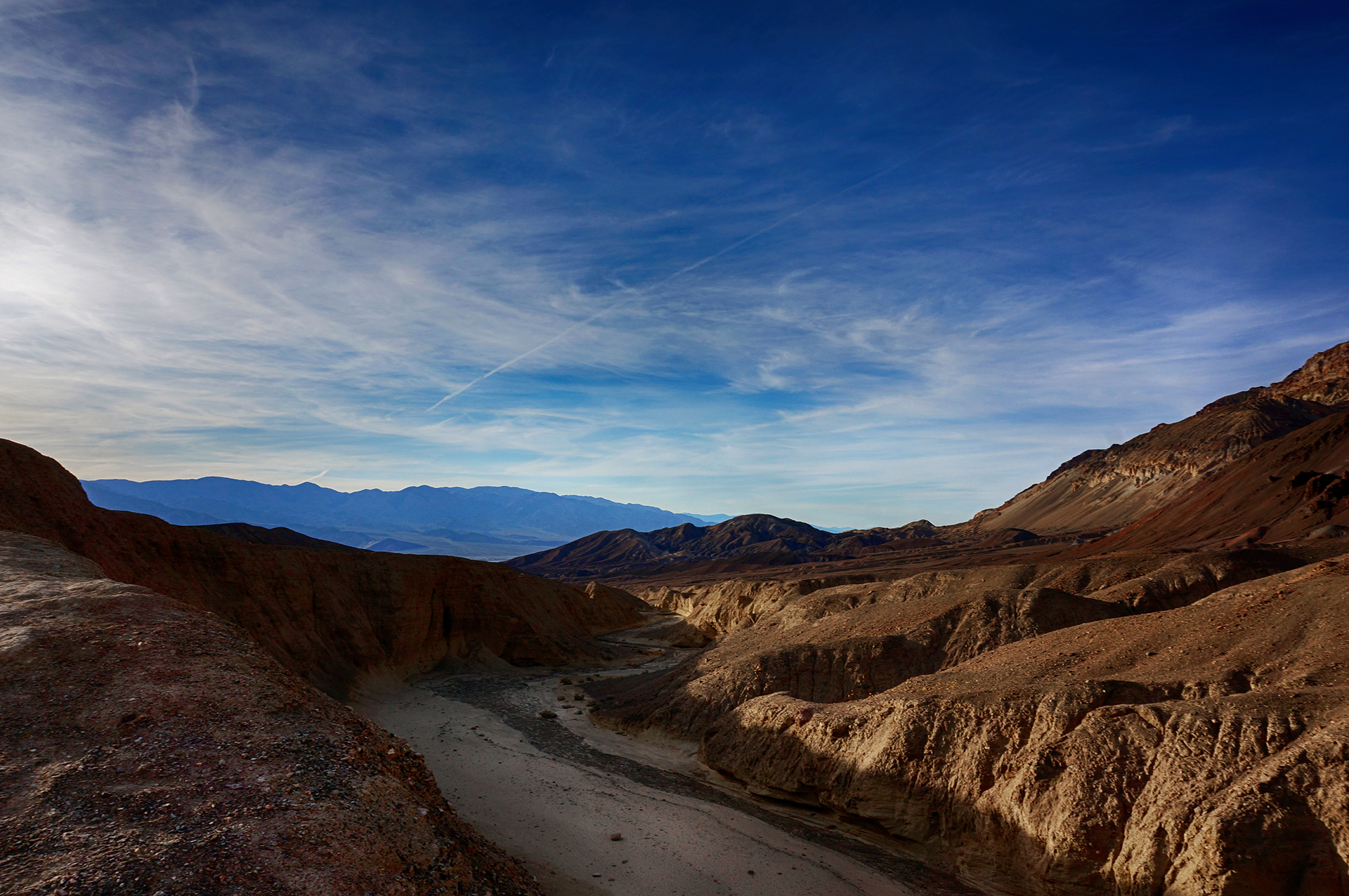
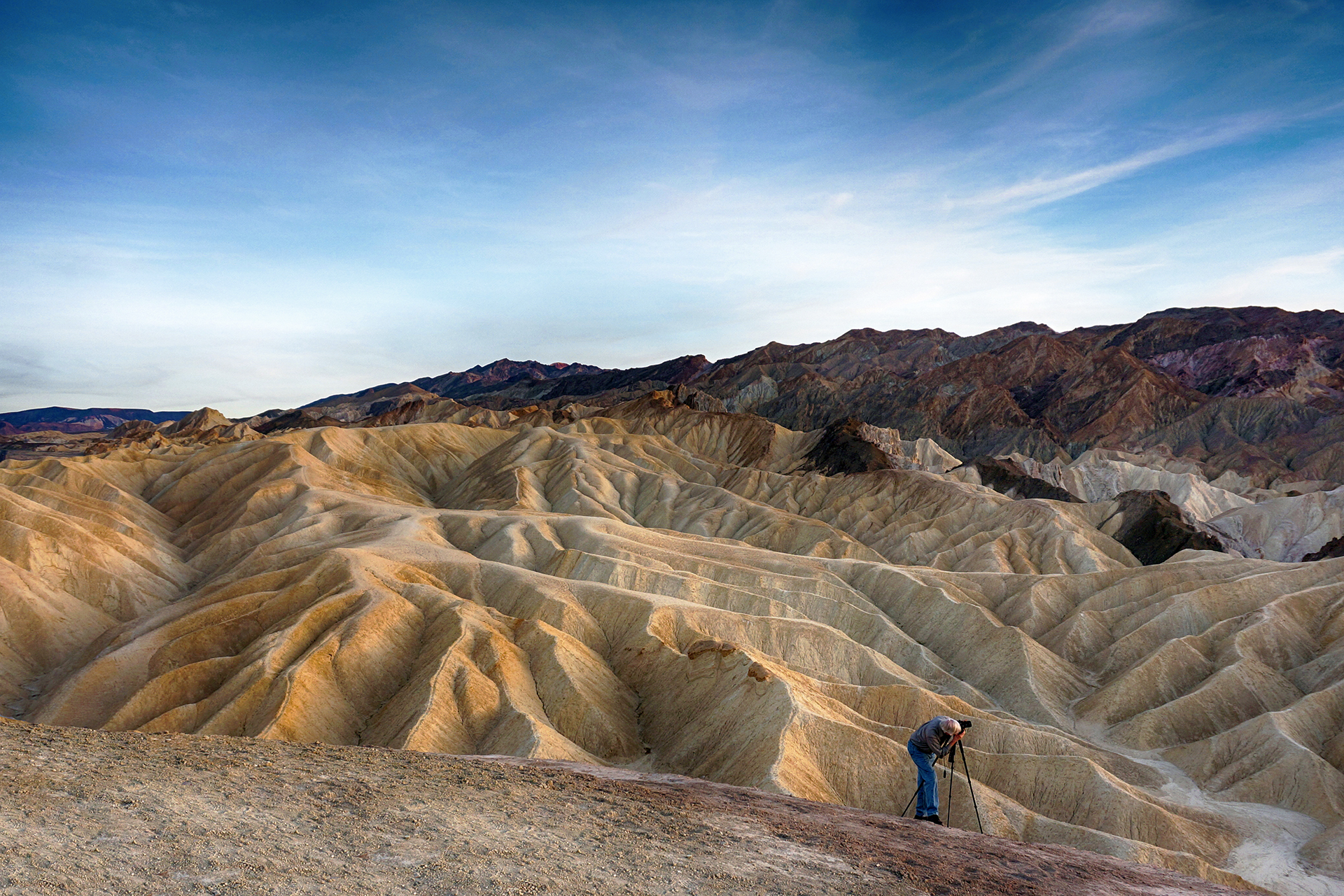
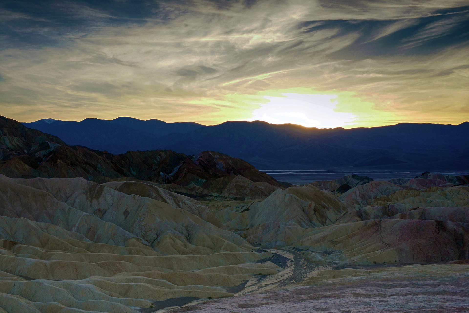
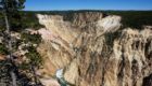
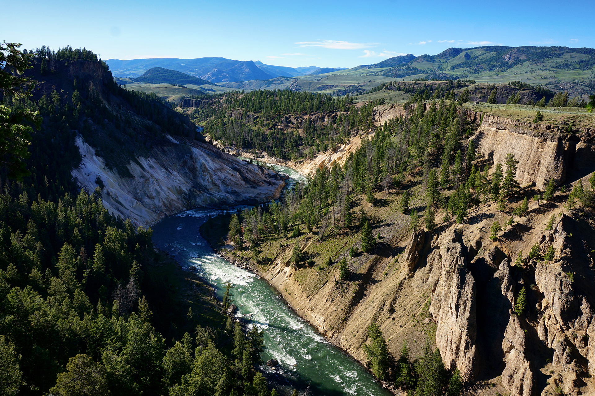
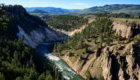
Canyons

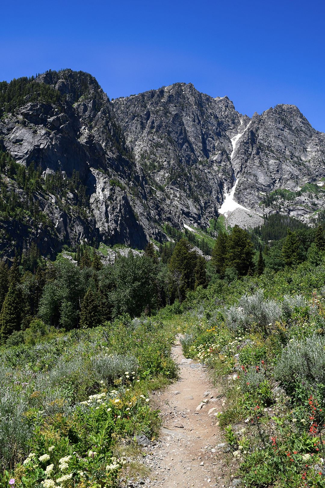
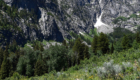
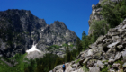
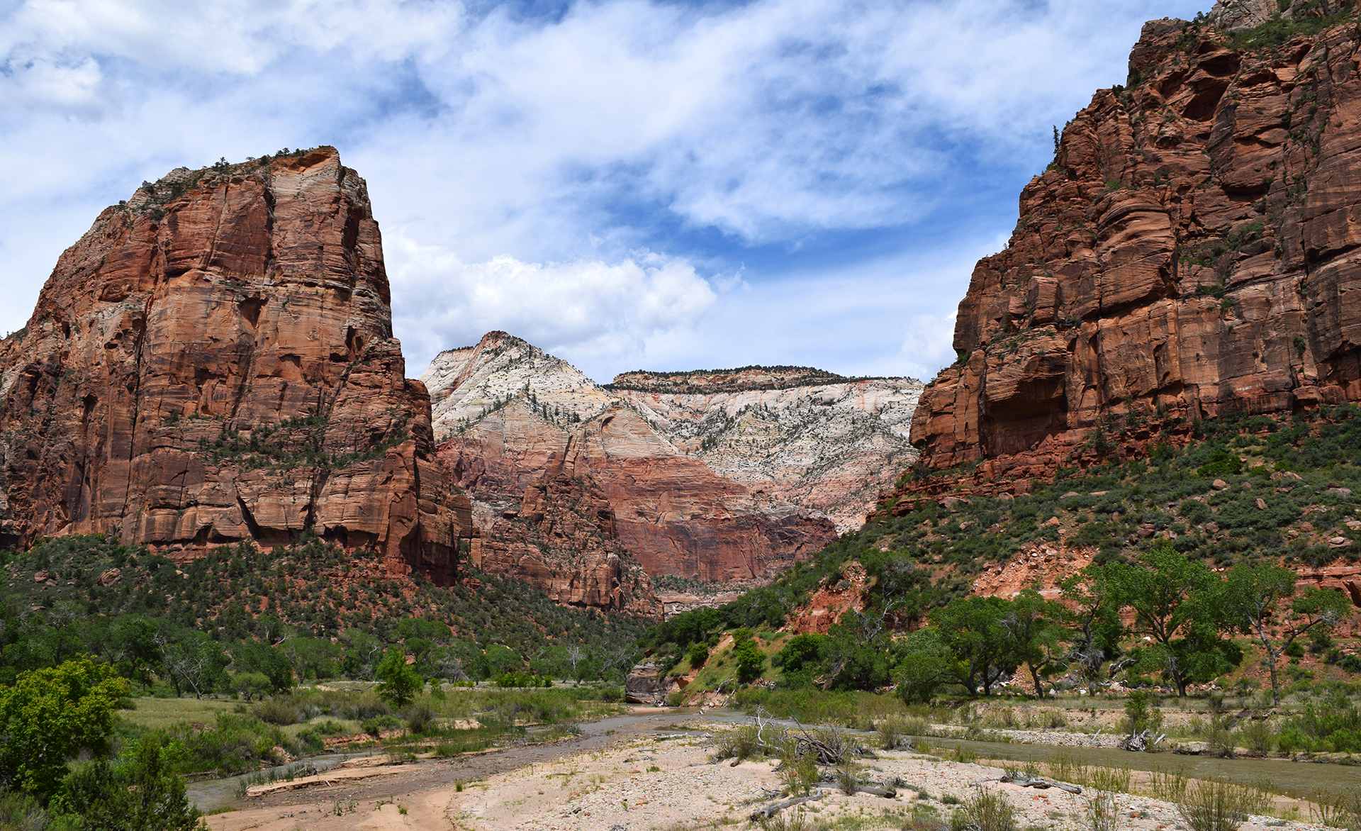
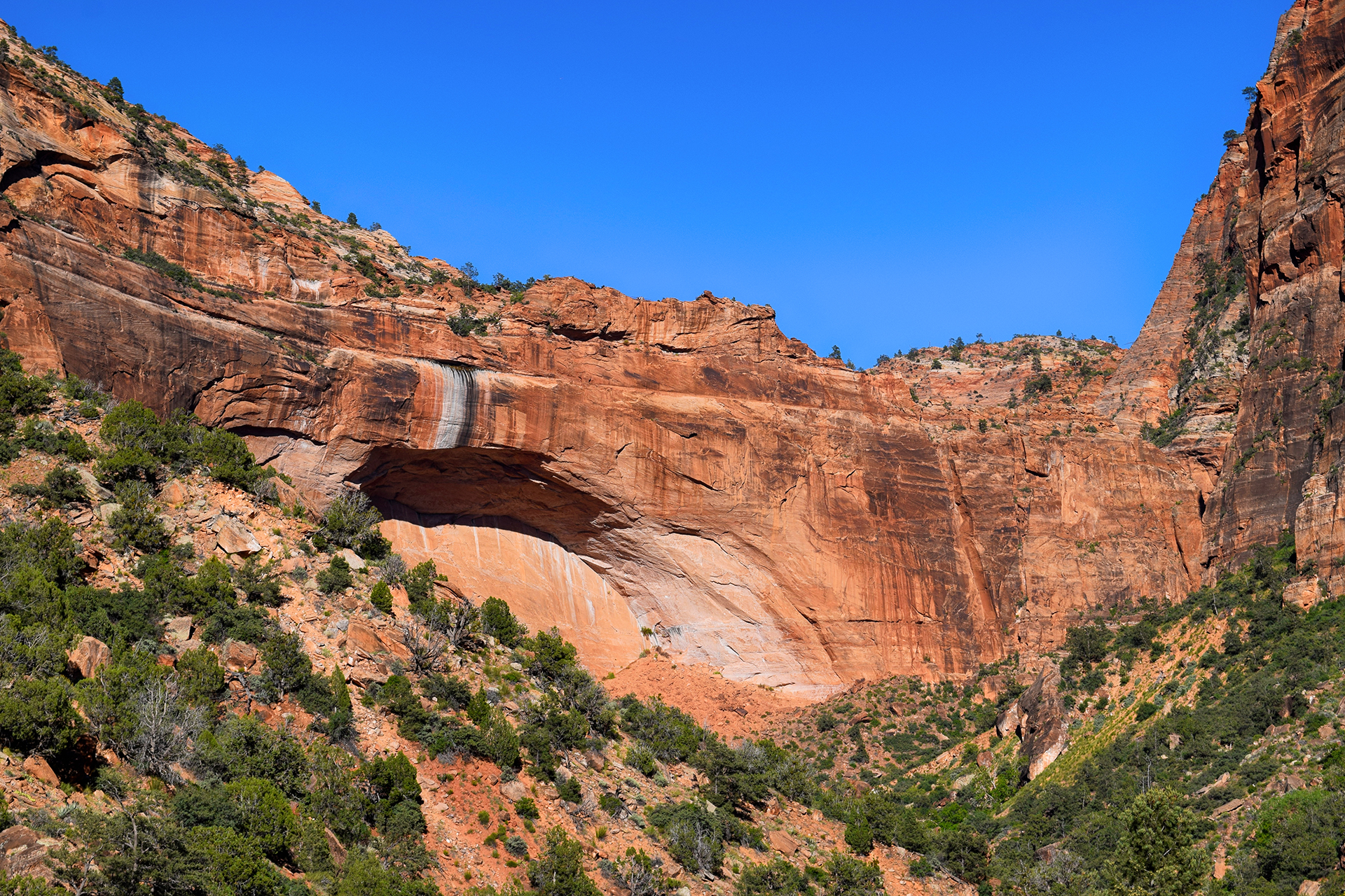
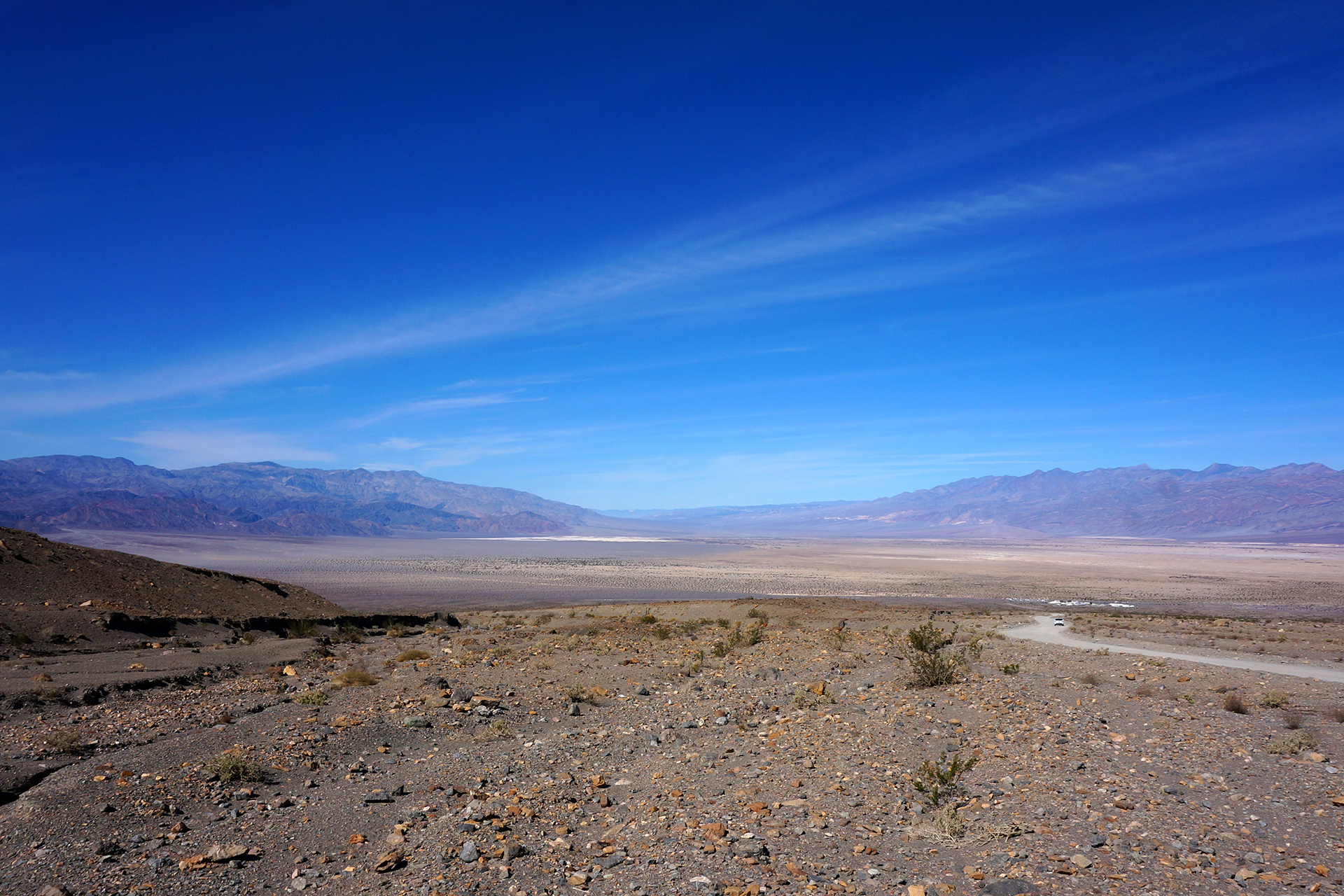
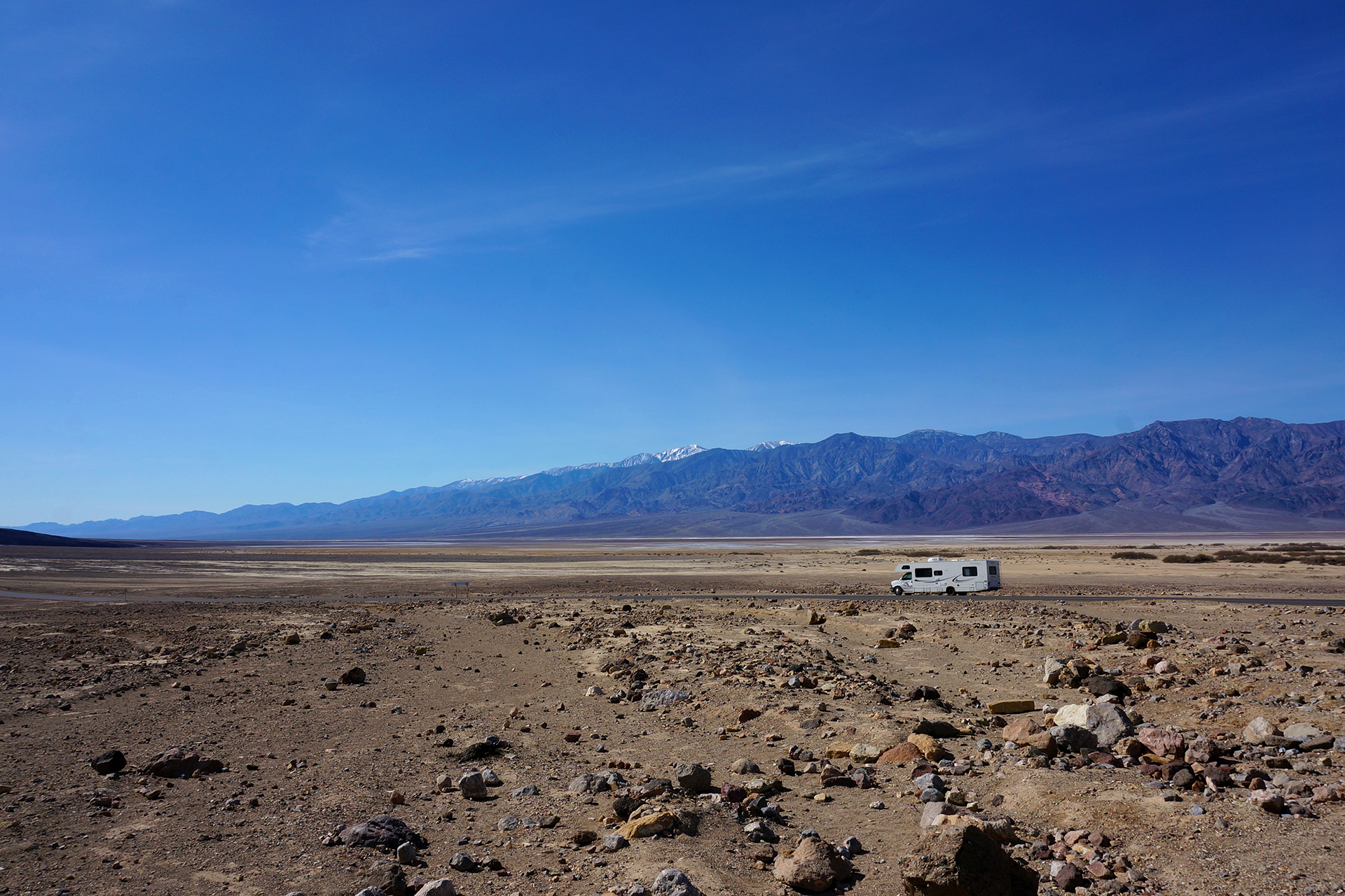
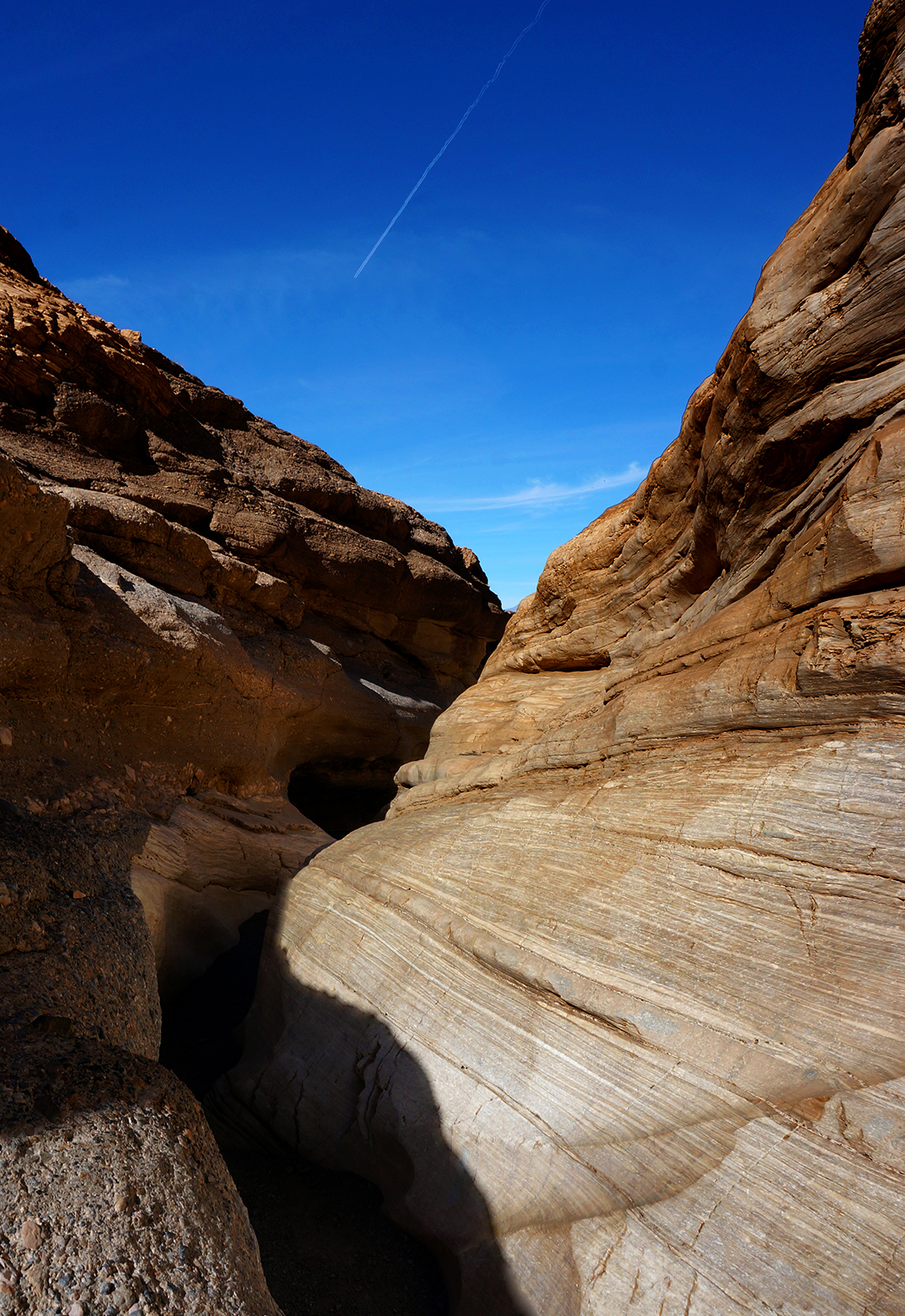
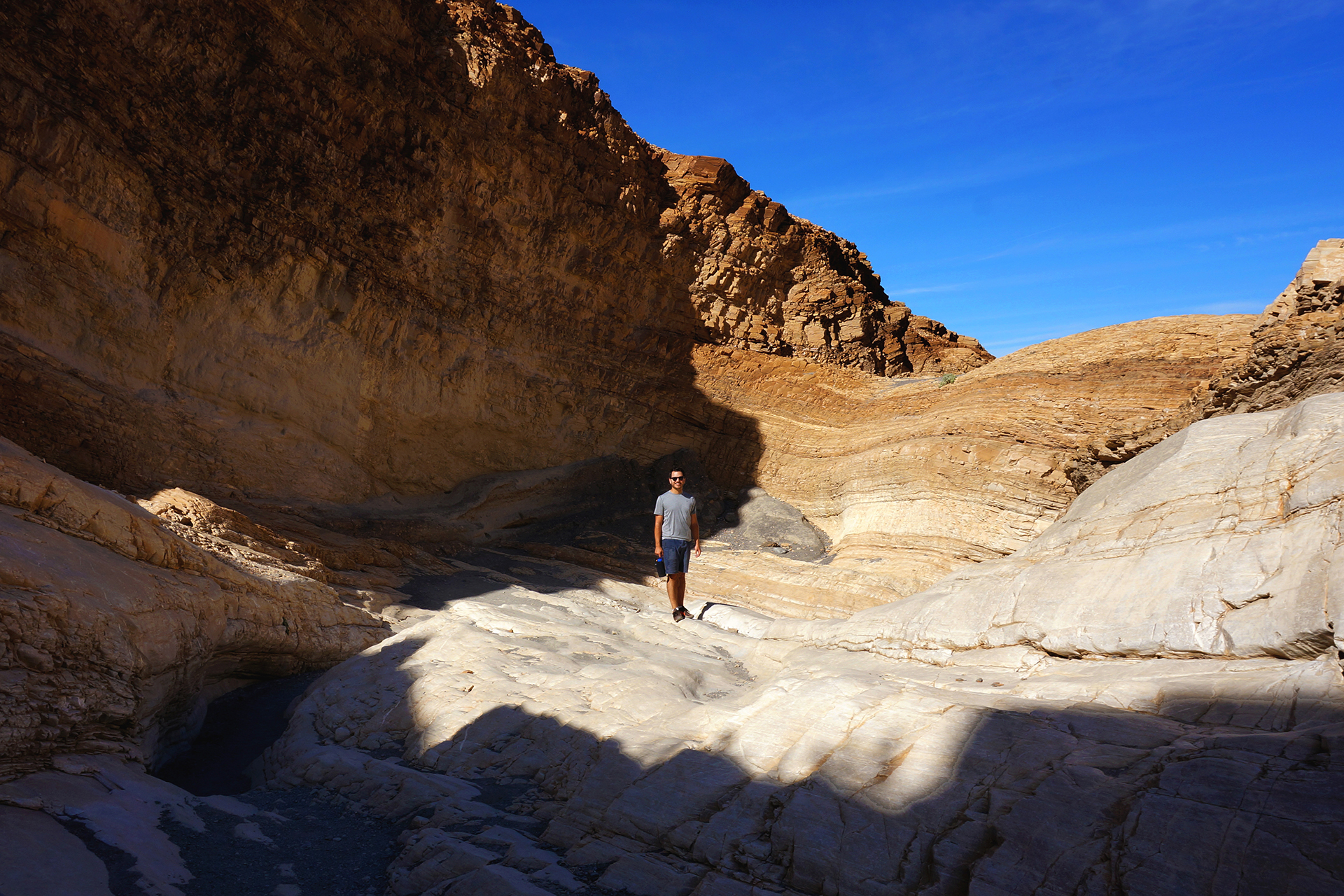
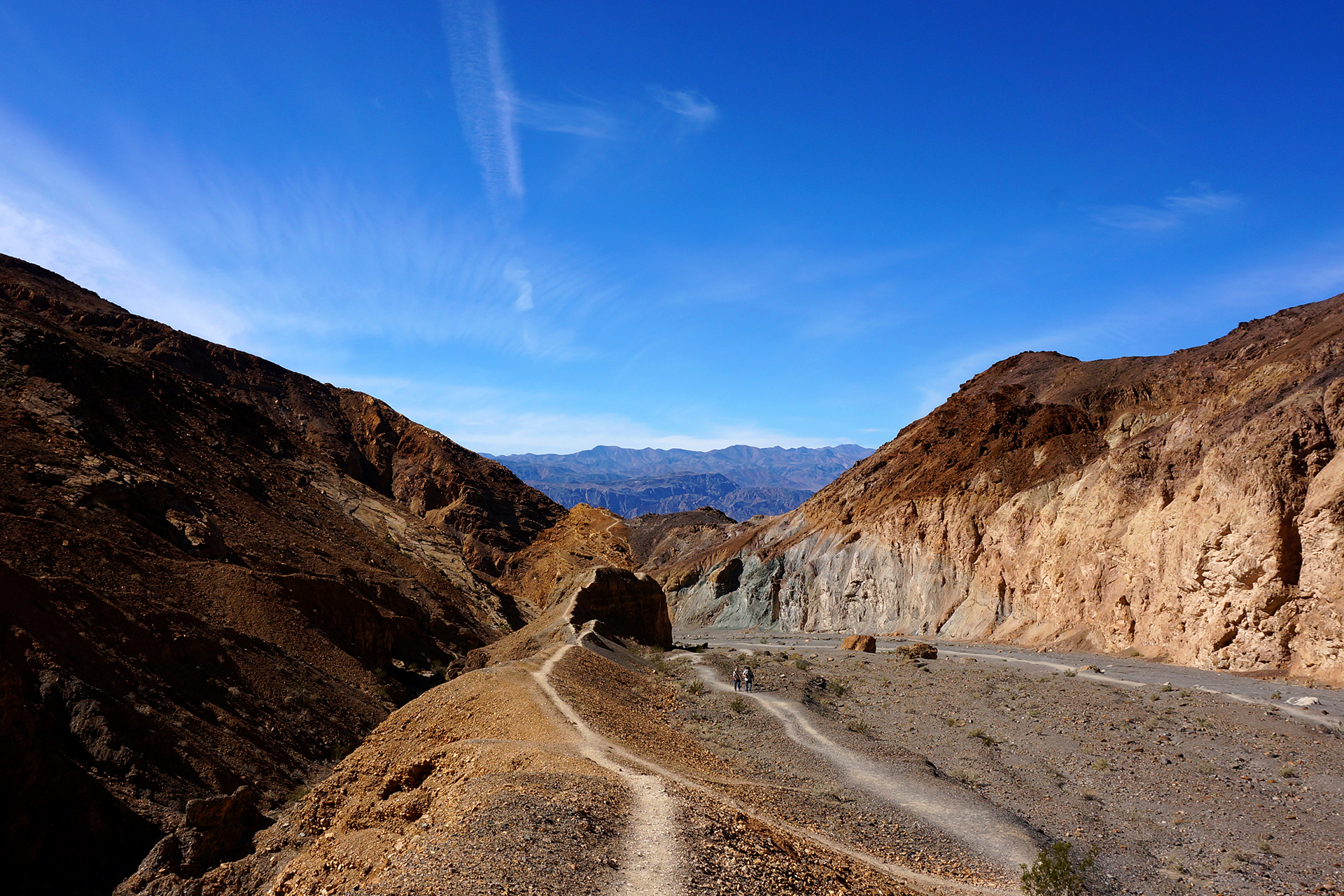
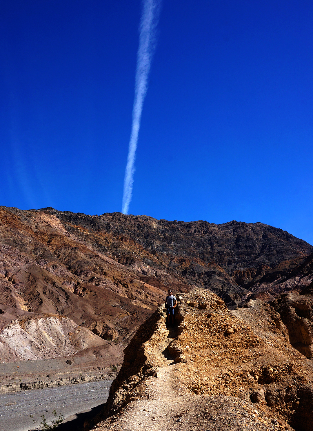
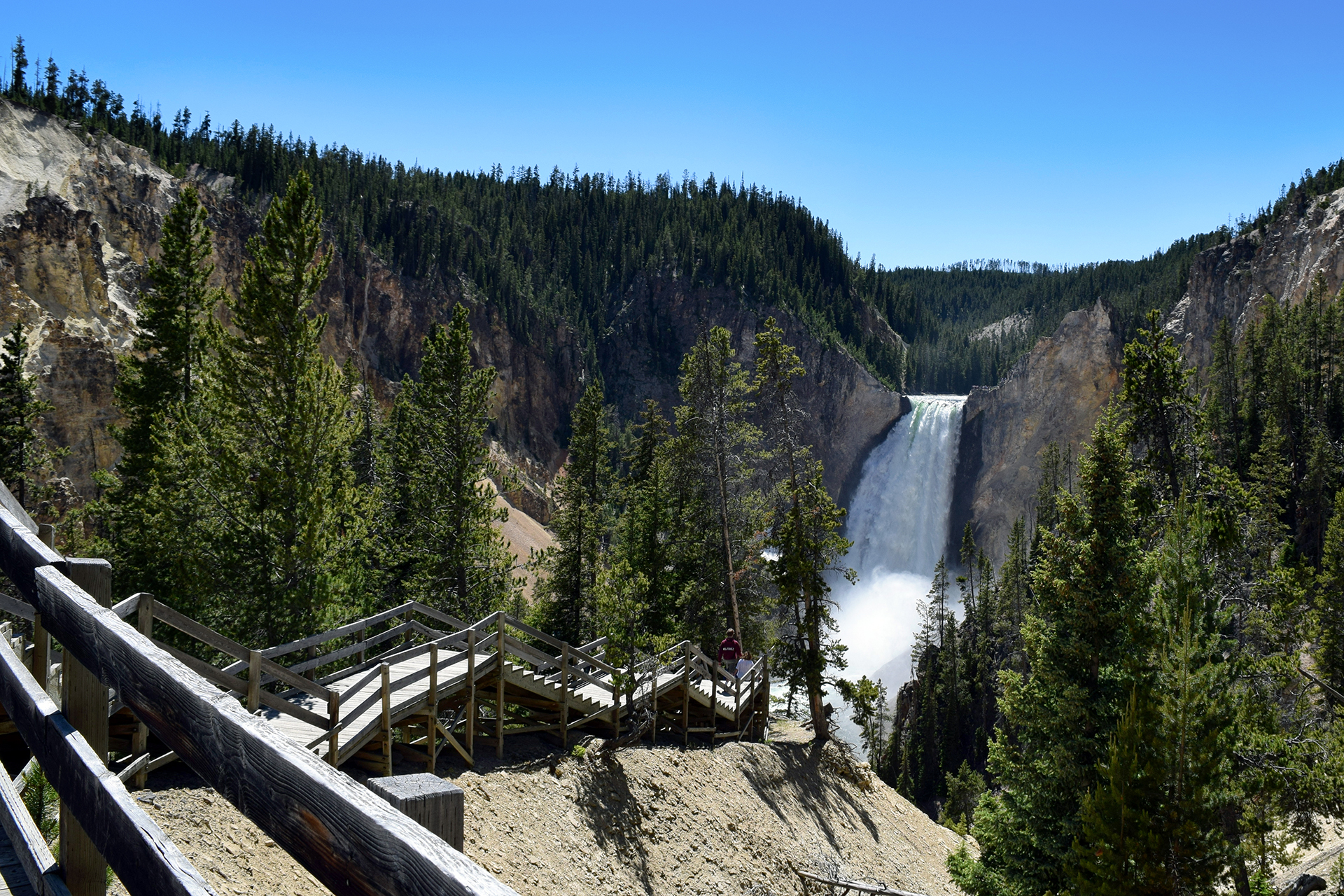
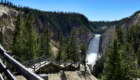
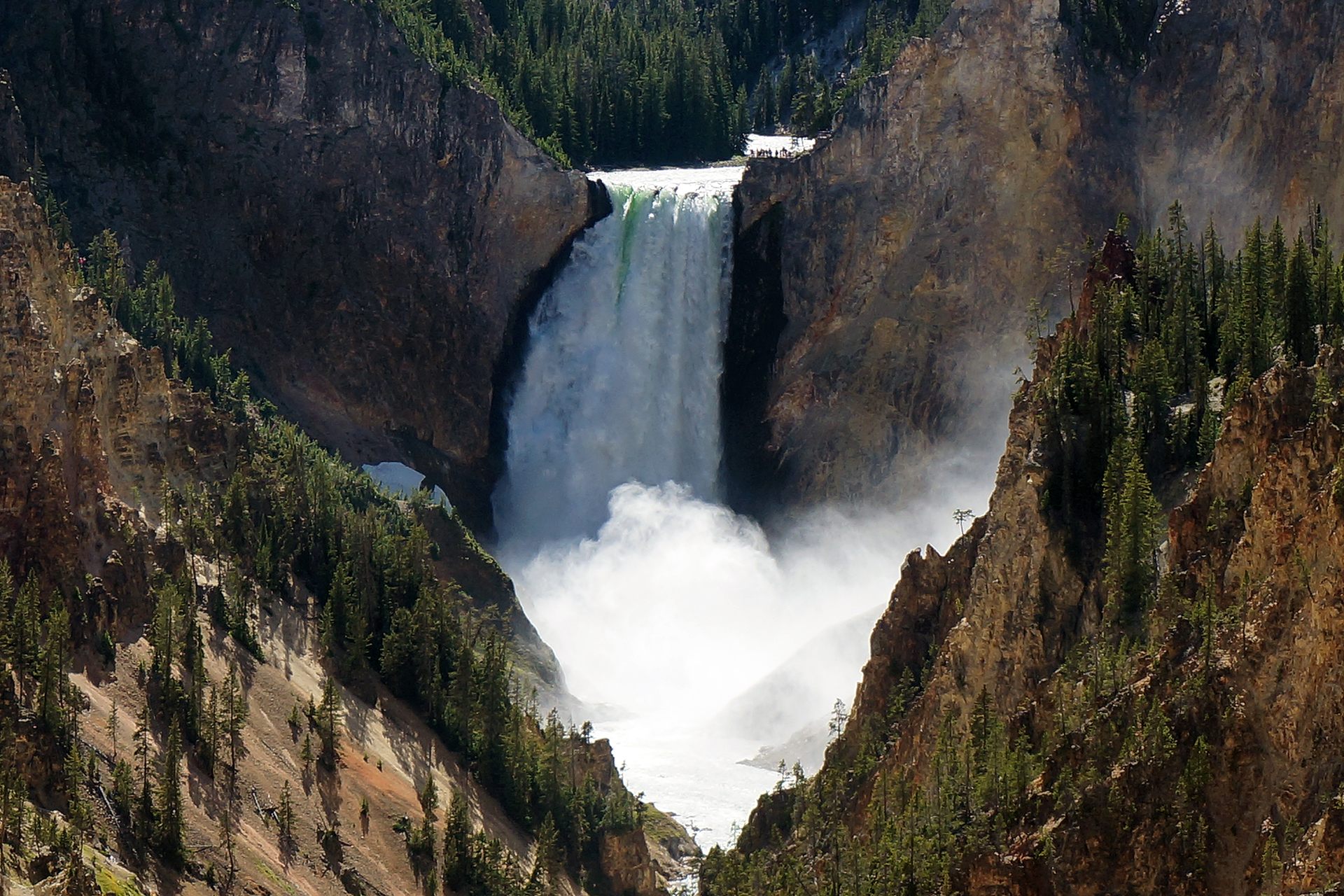
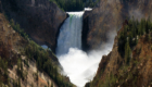
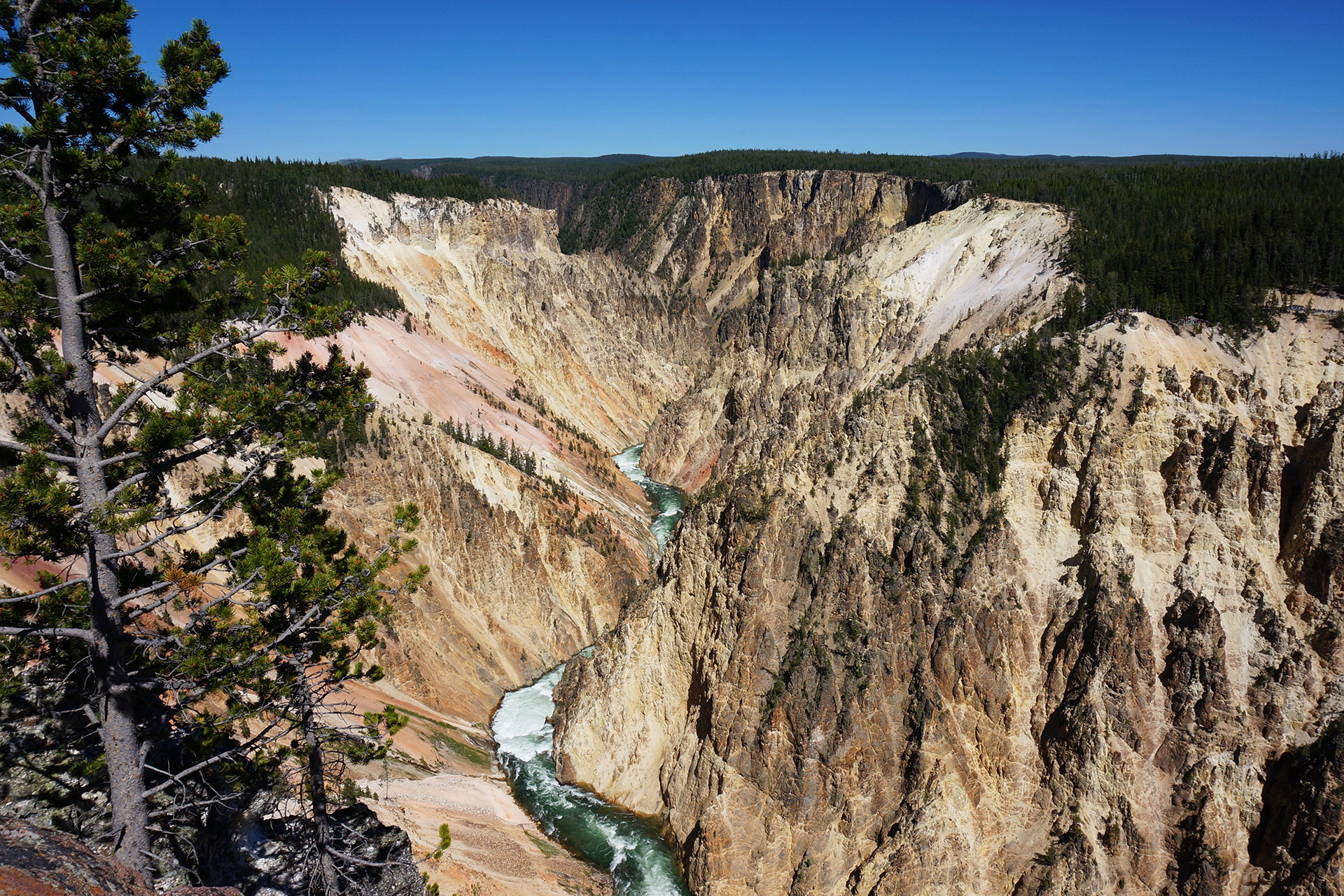
If the geysers, pools, and hot springs were all that there is to Yellowstone, it would be enough for a satisfying vacation.  But frankly, it just scratches the surface of a truly amazing natural preserve.  The scenery here is incredible in a million ways, and the most beautiful part of the park has nothing to do with volcanoes at all.  Instead, it’s a canyon.

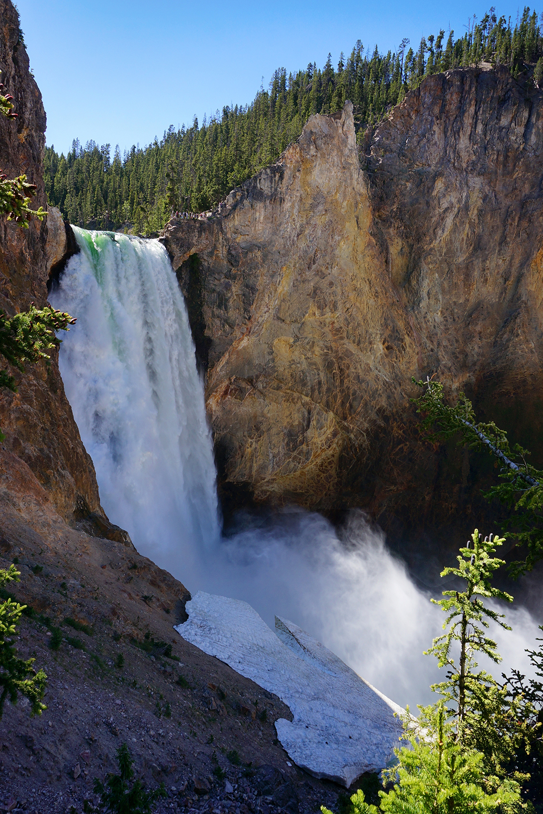
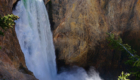
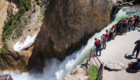
The Grand Canyon of the Yellowstone.

You might not have heard of it (we hadn’t), but the Grand Canyon of the Yellowstone (“GCOTY”) is magical.  There’s a huuuuuge waterfall, and then some other waterfalls, and the whole thing is framed in this incredibly perfect yellow canyon.

There’s even a constant rainbow!

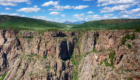
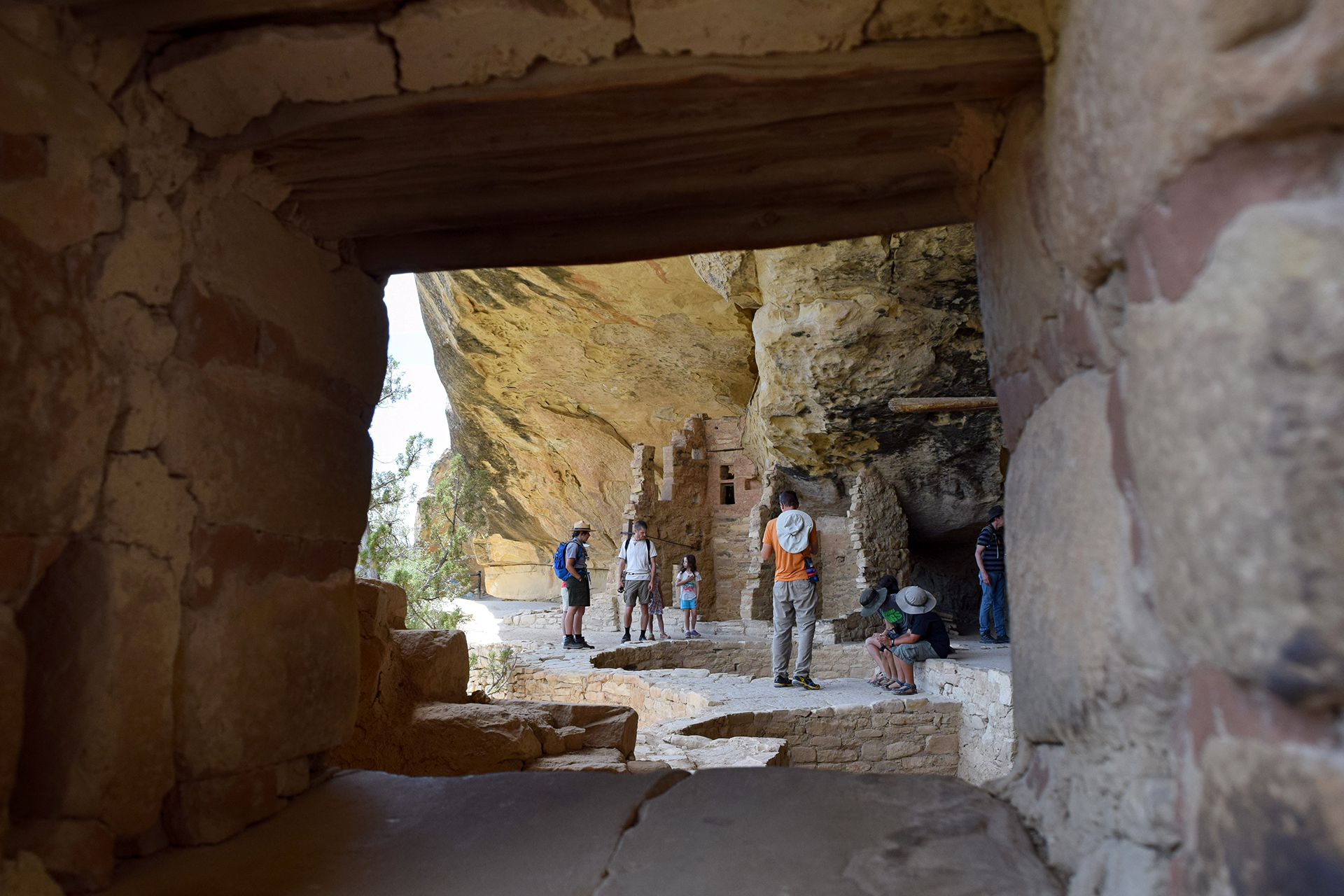
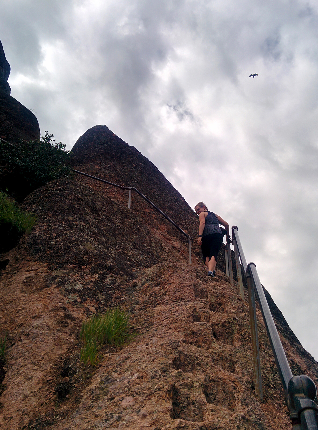
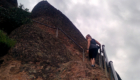
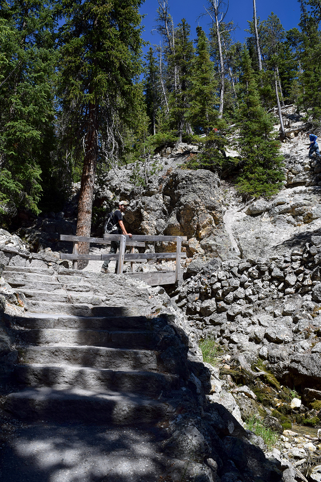
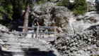
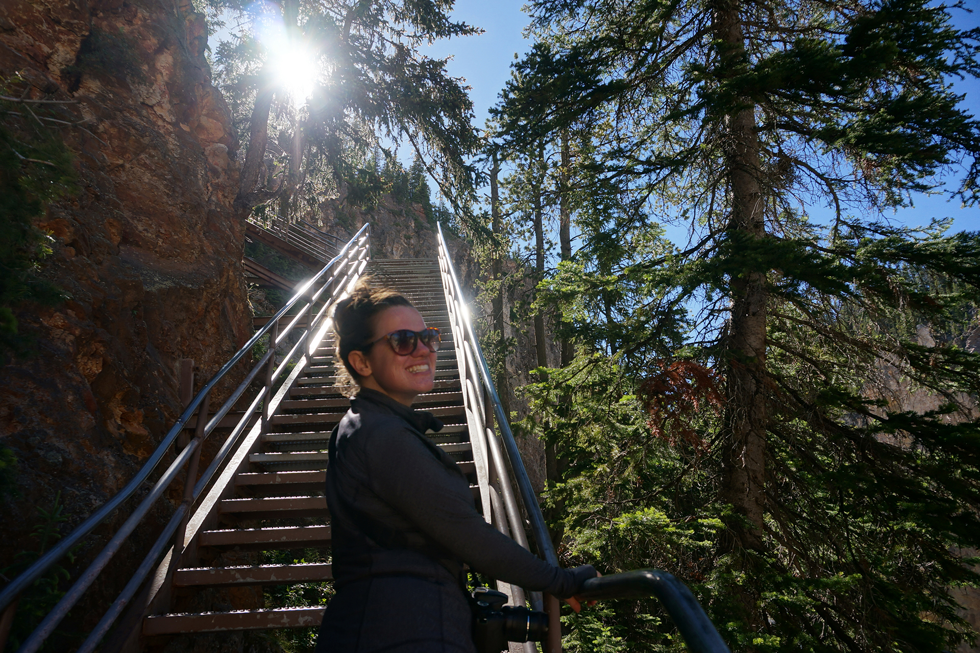
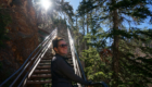
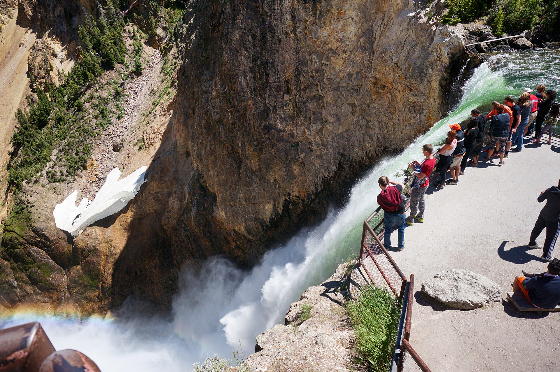
Seeing all of the GCOTY requires about half a dozen trips down into the canyon from the parking spots along the rim.  Of course, we had to see it all.  But there were a lot of stairs.

It was a whole day of:  Down and up.  Down and up.  Drive 3 minutes, spend 8 minutes parking.  Down 328 steps on a rickety metal staircase suspended over nothing that looks like it was built in 1965 and then never serviced again.  Take some pictures.  Go back up those steps.  Down and up.

We’d do it again in a heartbeat.
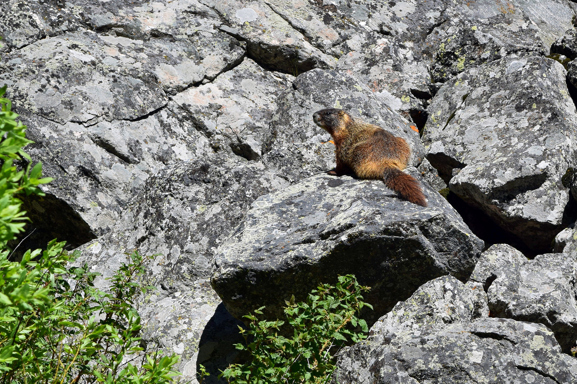
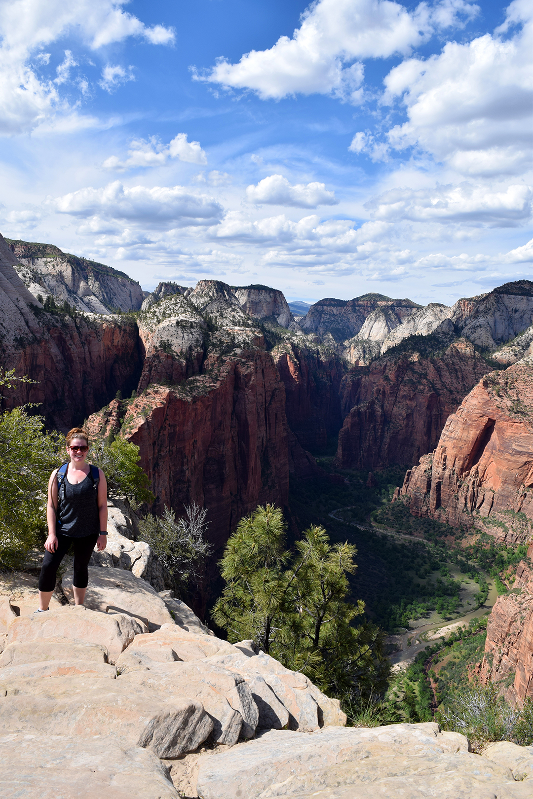
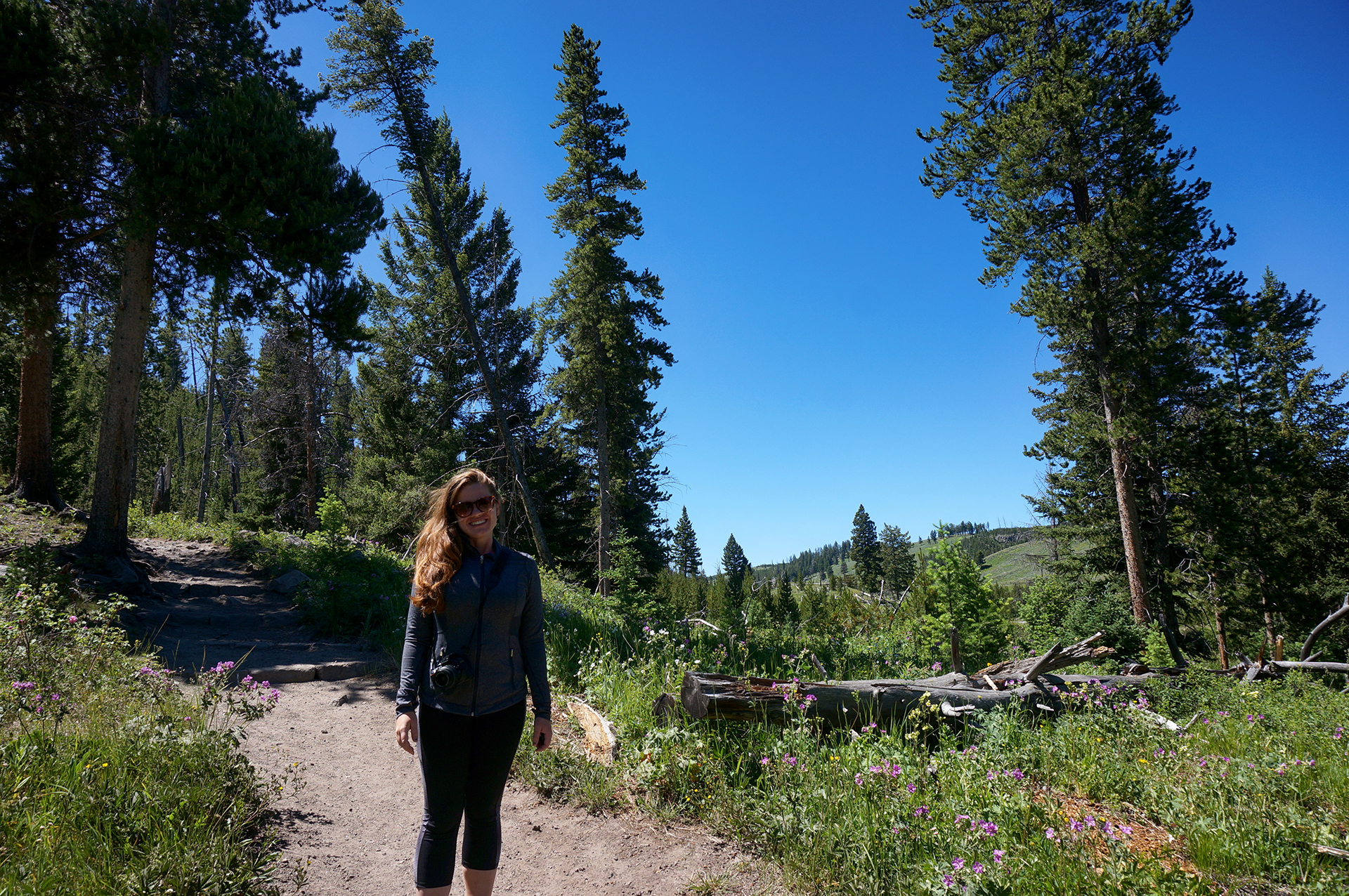
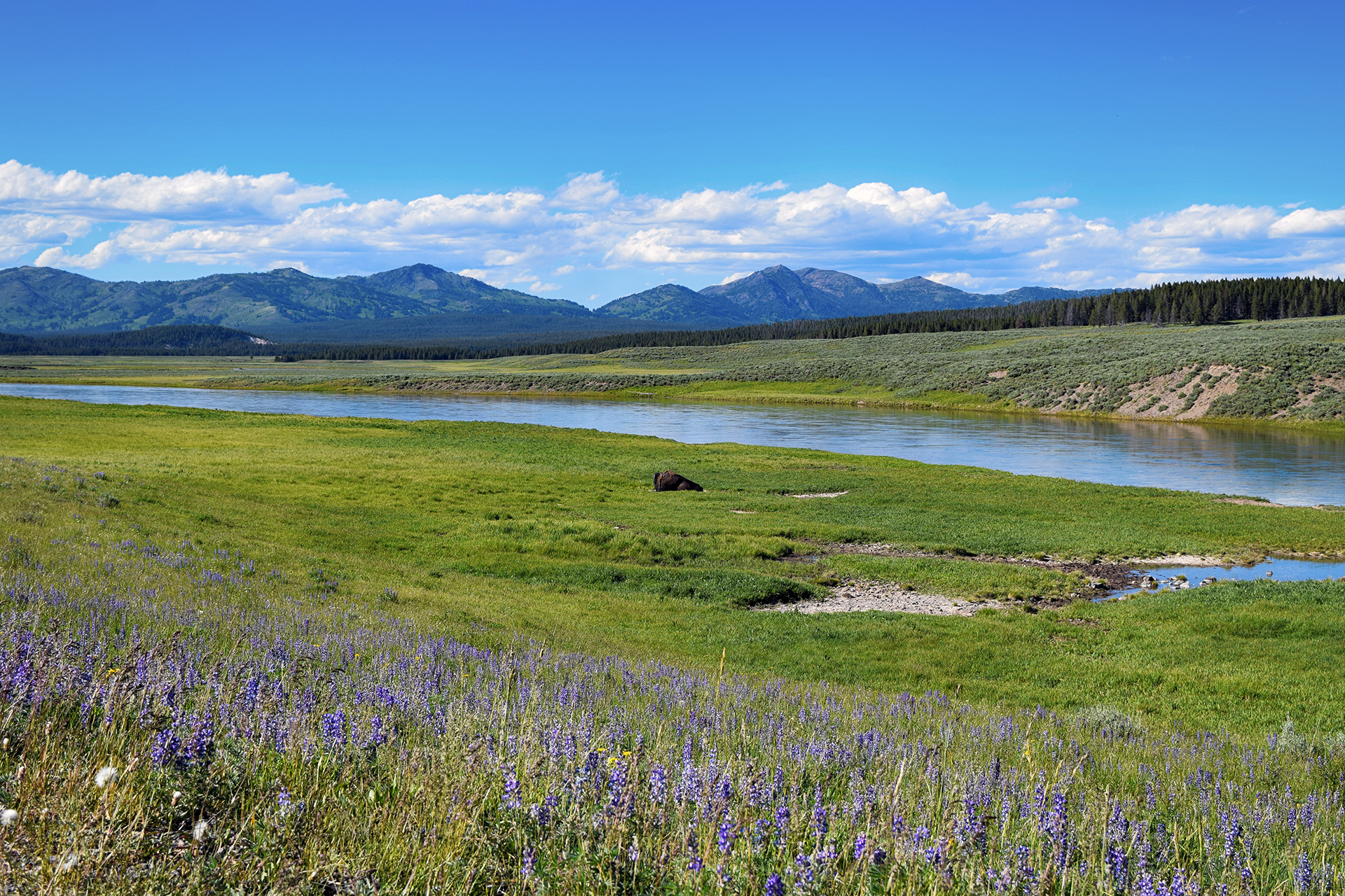
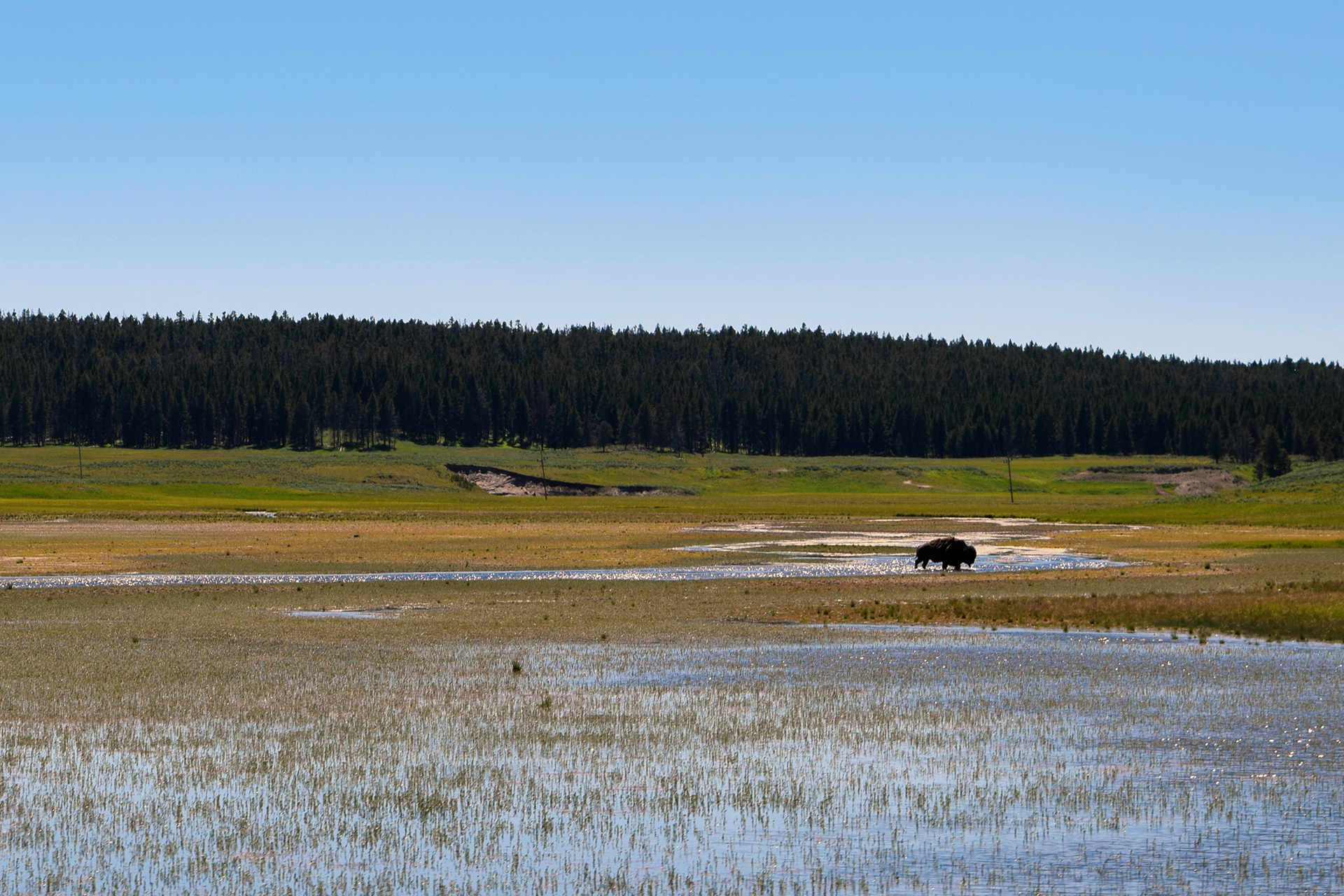
Wildlife

Another big draw at Yellowstone is the chance to see some truly big game.  Numerous animals roam Yellowstone freely, most notably American bison (NOT buffalo), but also including deer, bears, bighorn sheep, wolves, and much more.  We were lucky enough to catch some bison, including adorable babies.

We could always tell when an animal was visible from the road.  Yellowstone is crowded to begin with, but roadside critters create massive traffic jams, since people recklessly slam on the brakes for a photo of the (usually unimpressed) animal.

We tried our best not to be those people.  We just snapped pictures out the windows blindly as we drove by, like civilized folk.

When Jake was here as a kid, a large herd stopped traffic by ambling across the road – and around all the stopped cars.  We only really saw one big herd of bison, and they were in a field, but we did see a a lot of individual bison just hanging around.  They’re truly massive, and reasonably mellow.

Tourists do a lot of dumb things – like trying to rescue calves by putting them in the back of their SUV – but the bison seem pretty resigned to the swarms of fools surrounding them at all times.

We didn’t see any bears or wolves at Yellowstone, but there were plenty of deer and other large mammals.  We ended up on the opposite side of a canyon from a herd of mountain goats, which we futilely tried to photograph using our zoom lens.

Our favorite of all the wildlife was the herd of elk that hung out near Mammoth Hot Springs in the evening.  We always passed this area by as we finished for the day, and they were always there, lounging on the grass near the visitor center and paying the rest of us no mind.  Human development has worked out just fine for some species, apparently.

This one appears to be licking a light pole.
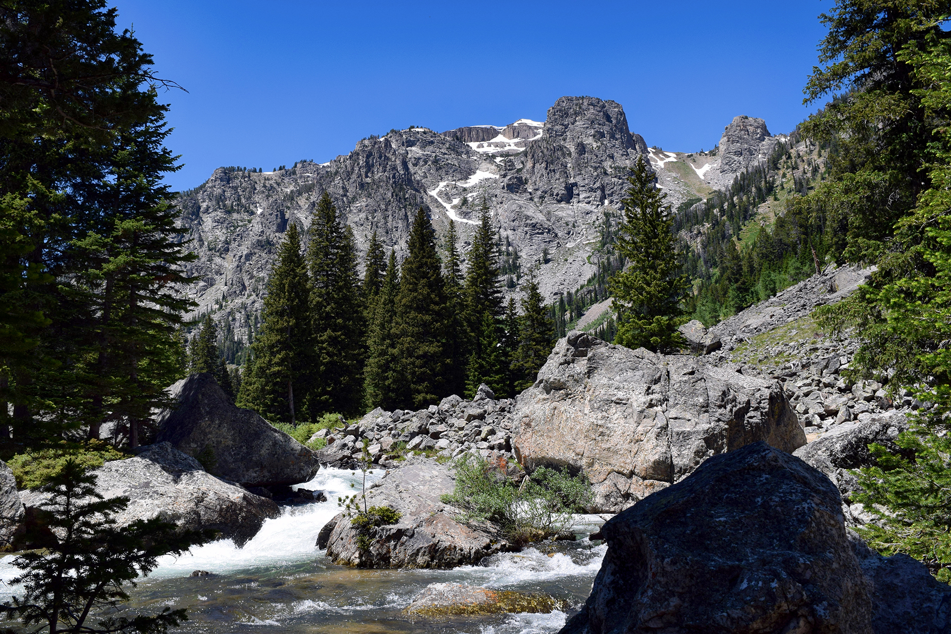
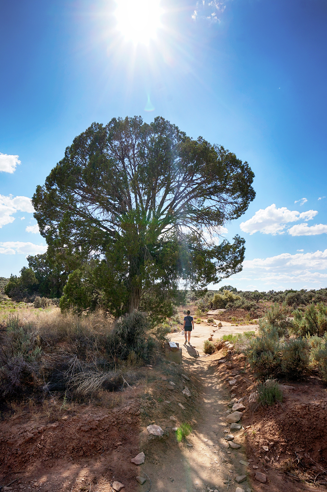
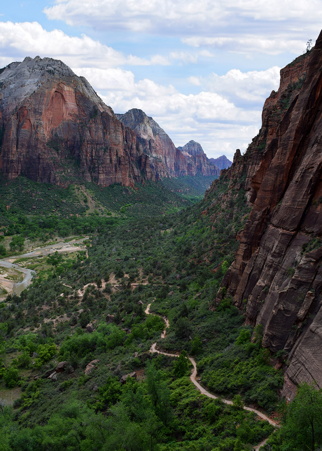
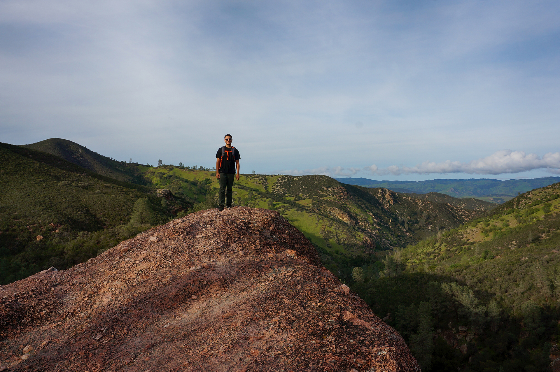
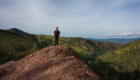
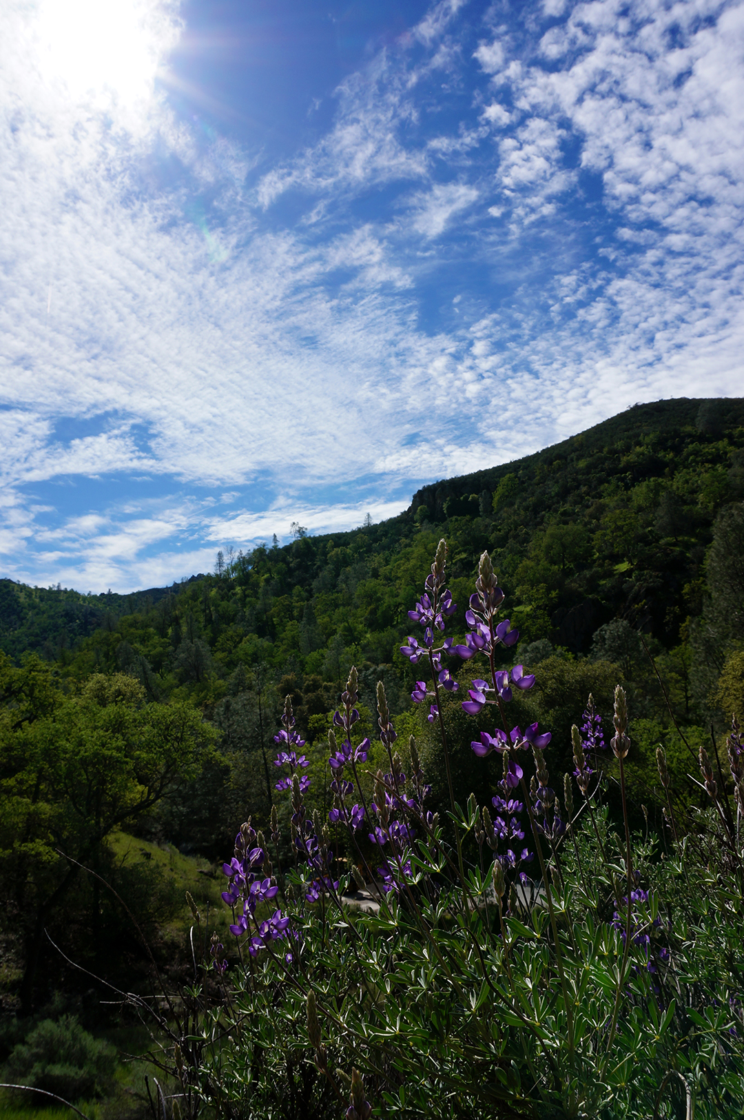
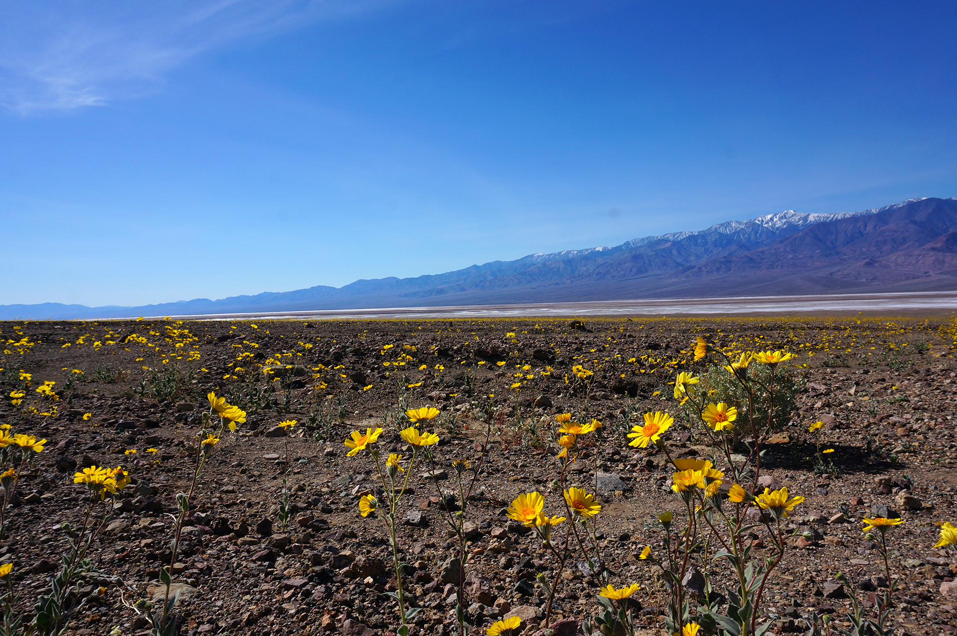
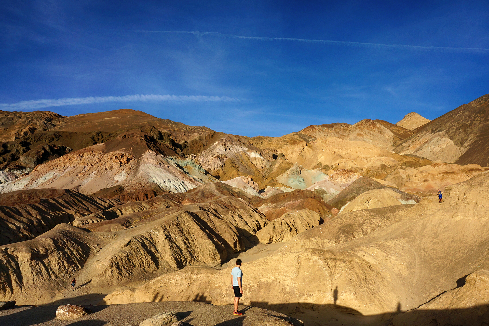
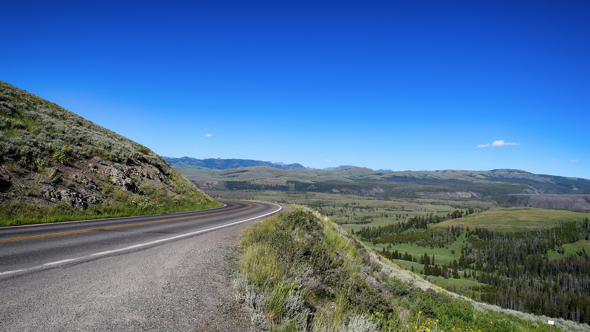
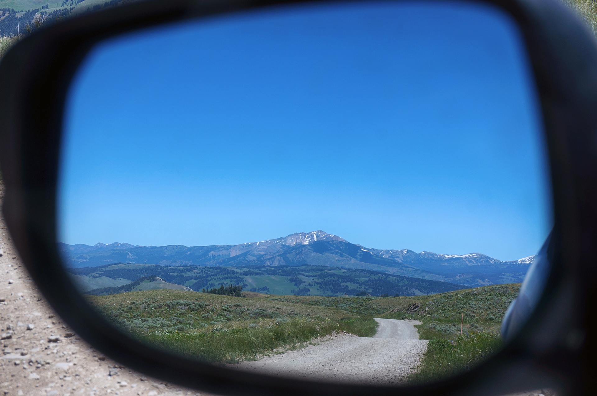
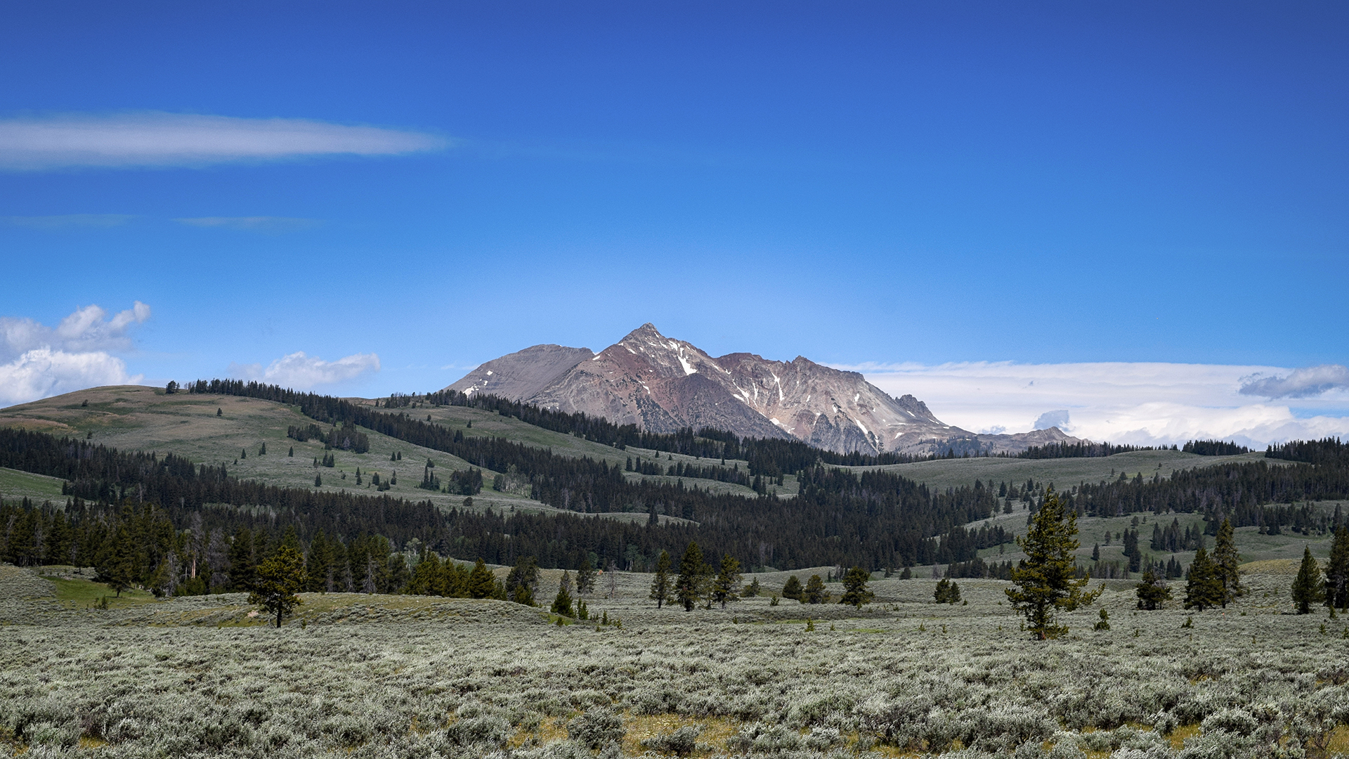
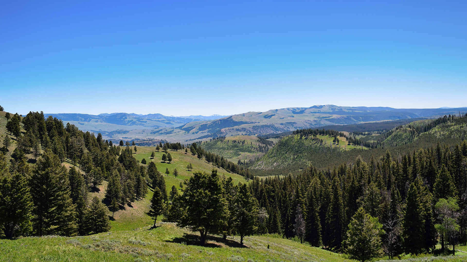
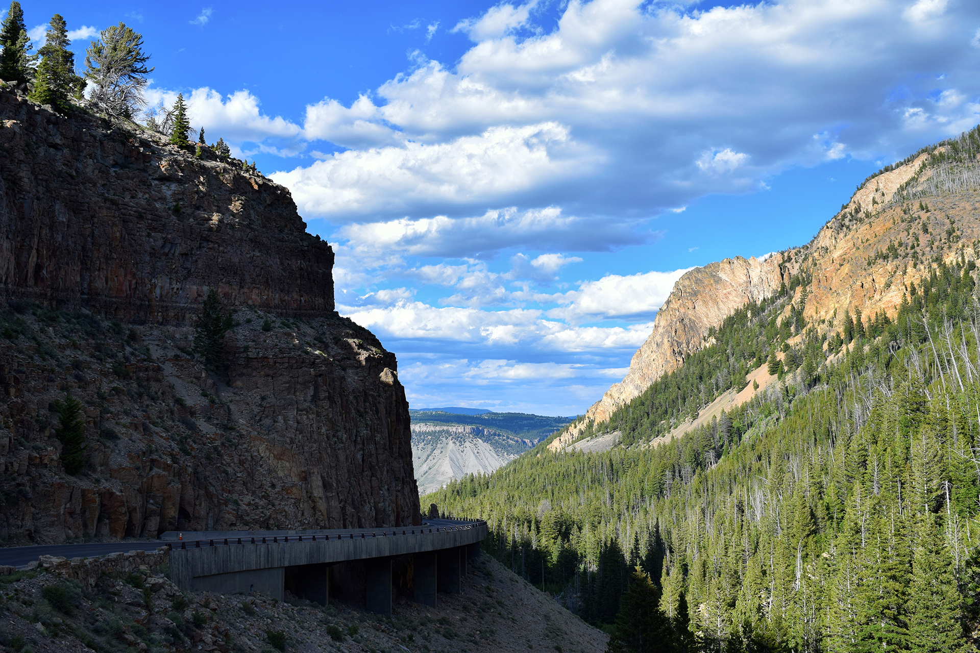
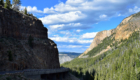
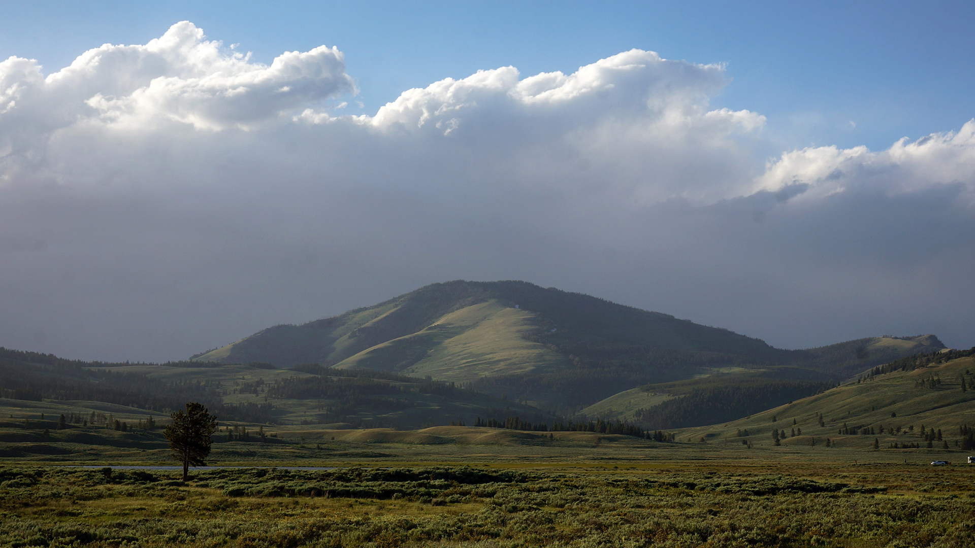
Landscapes

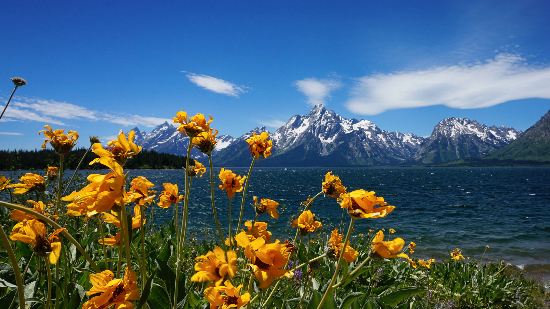
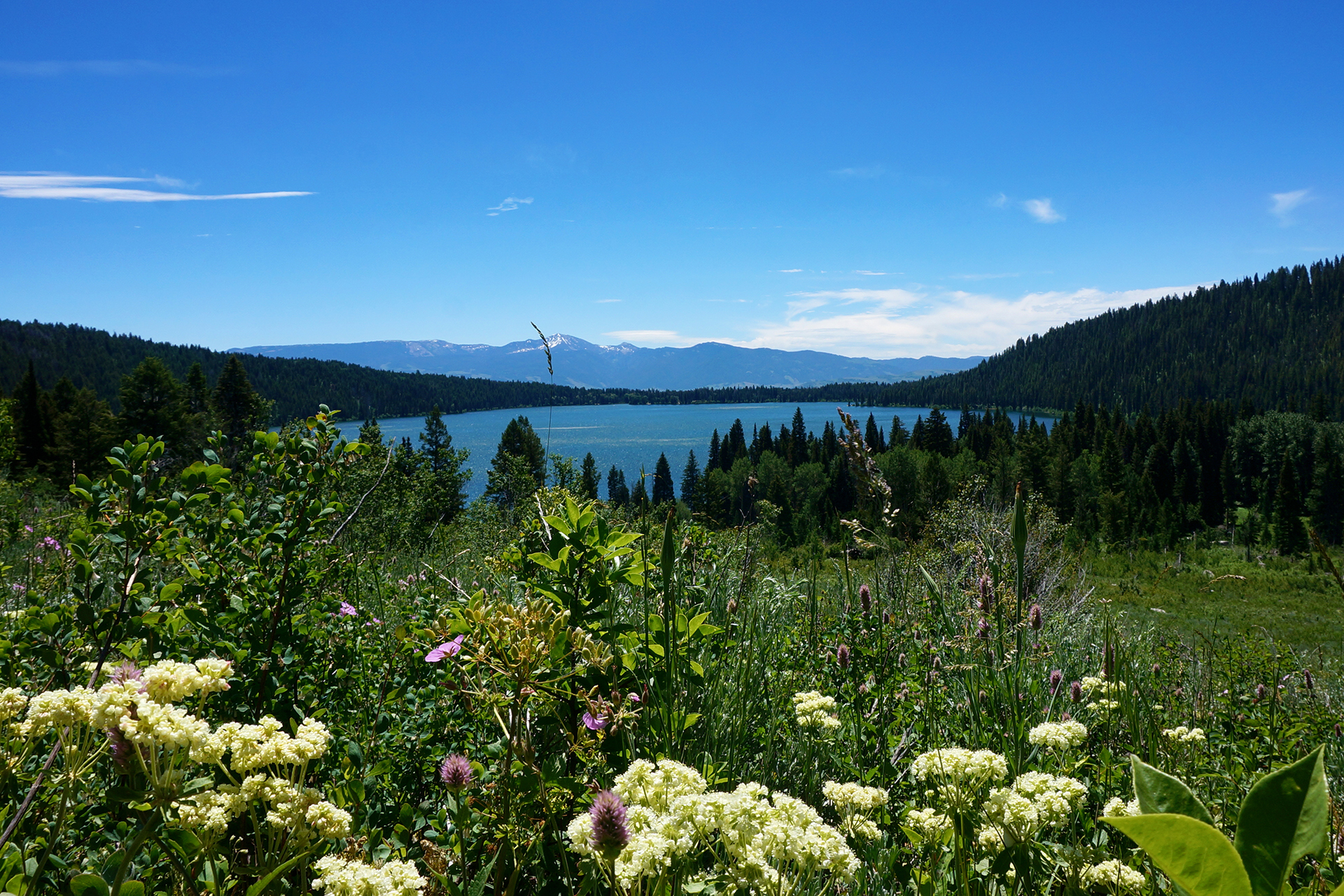
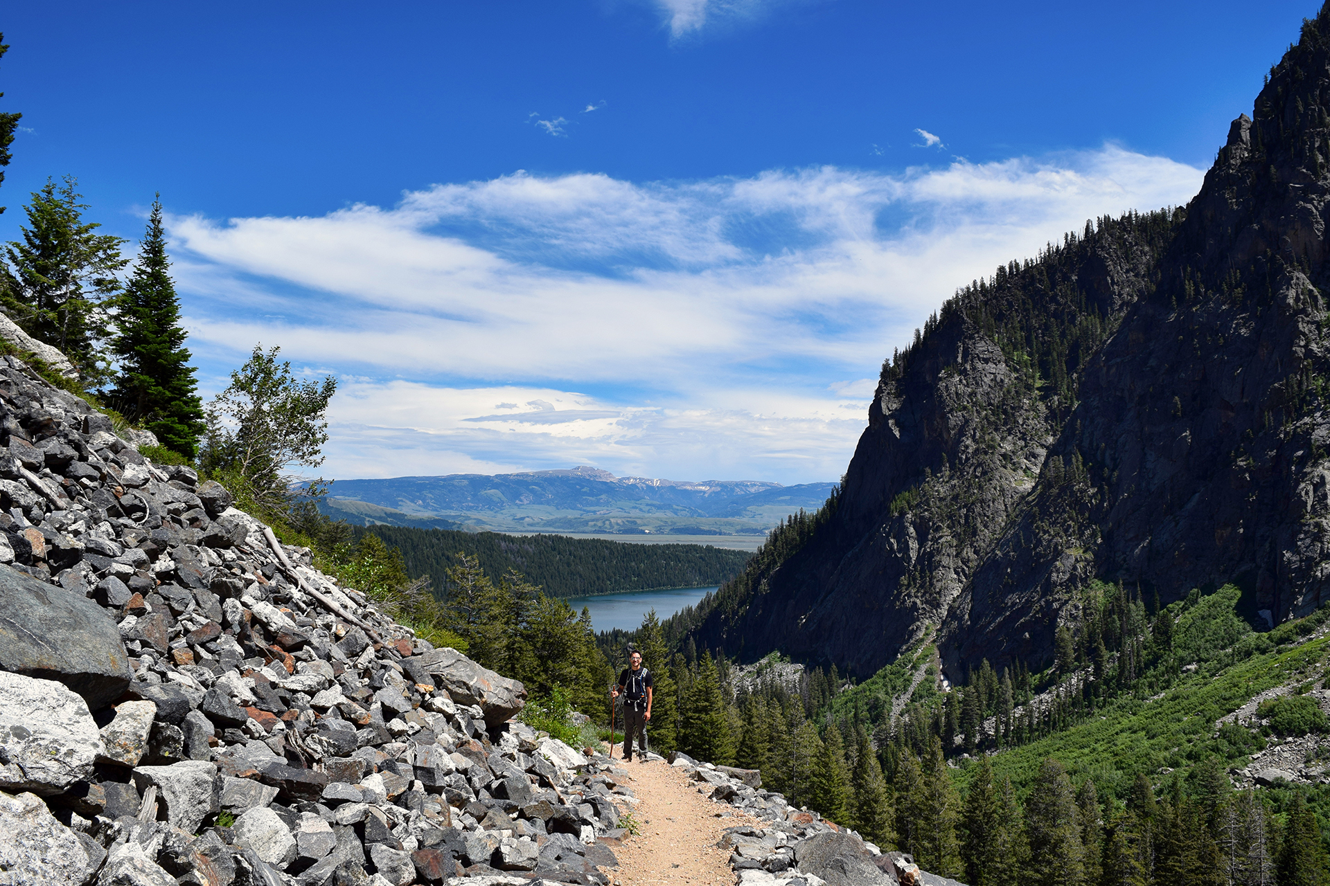
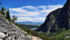
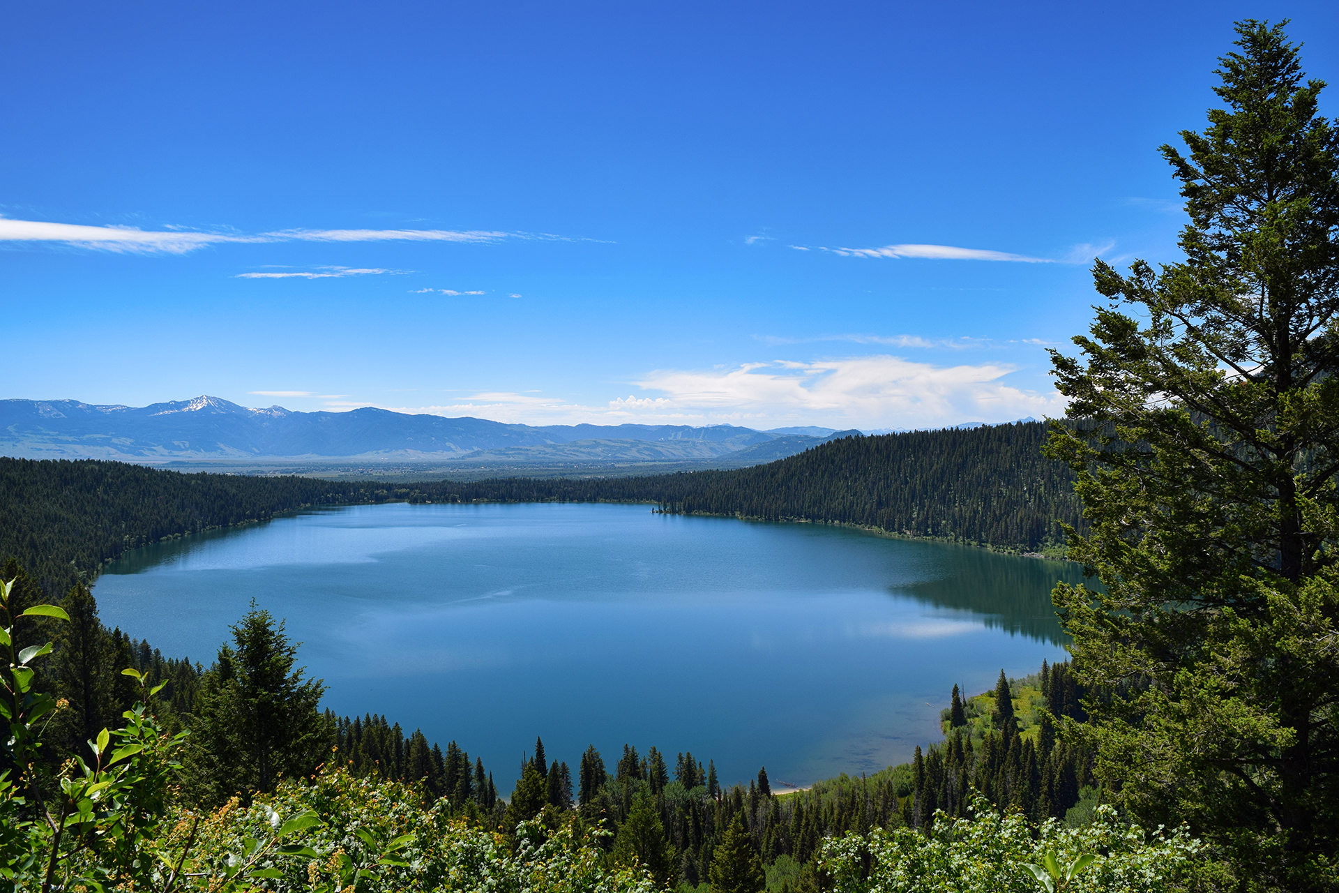
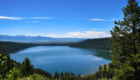
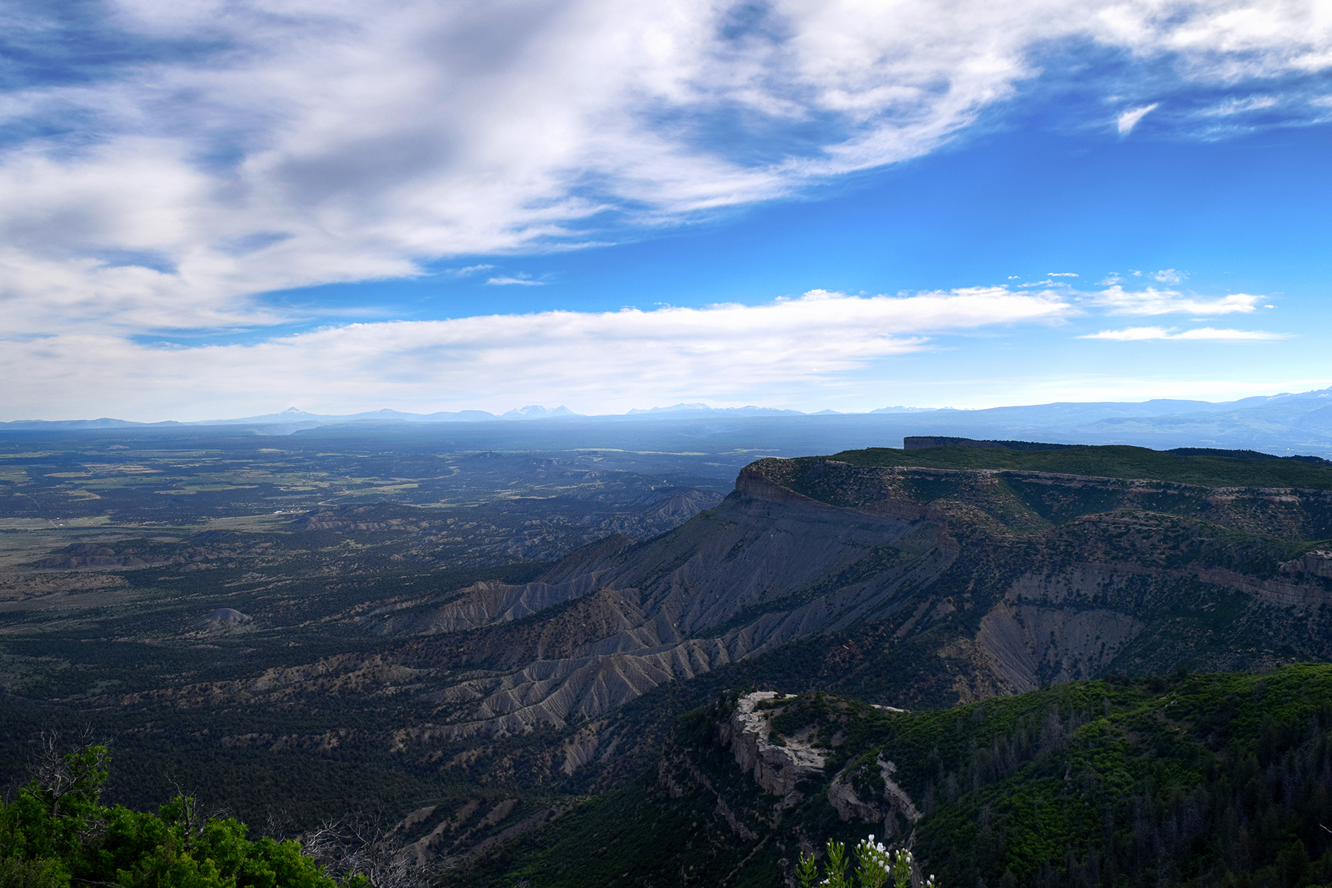
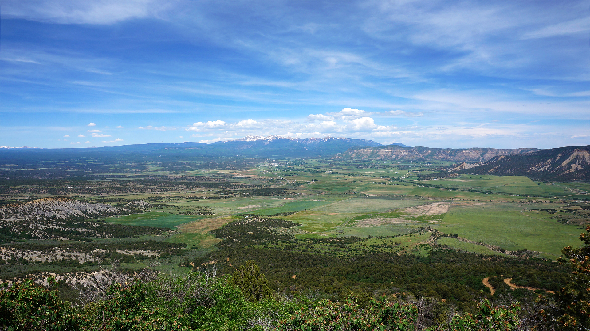
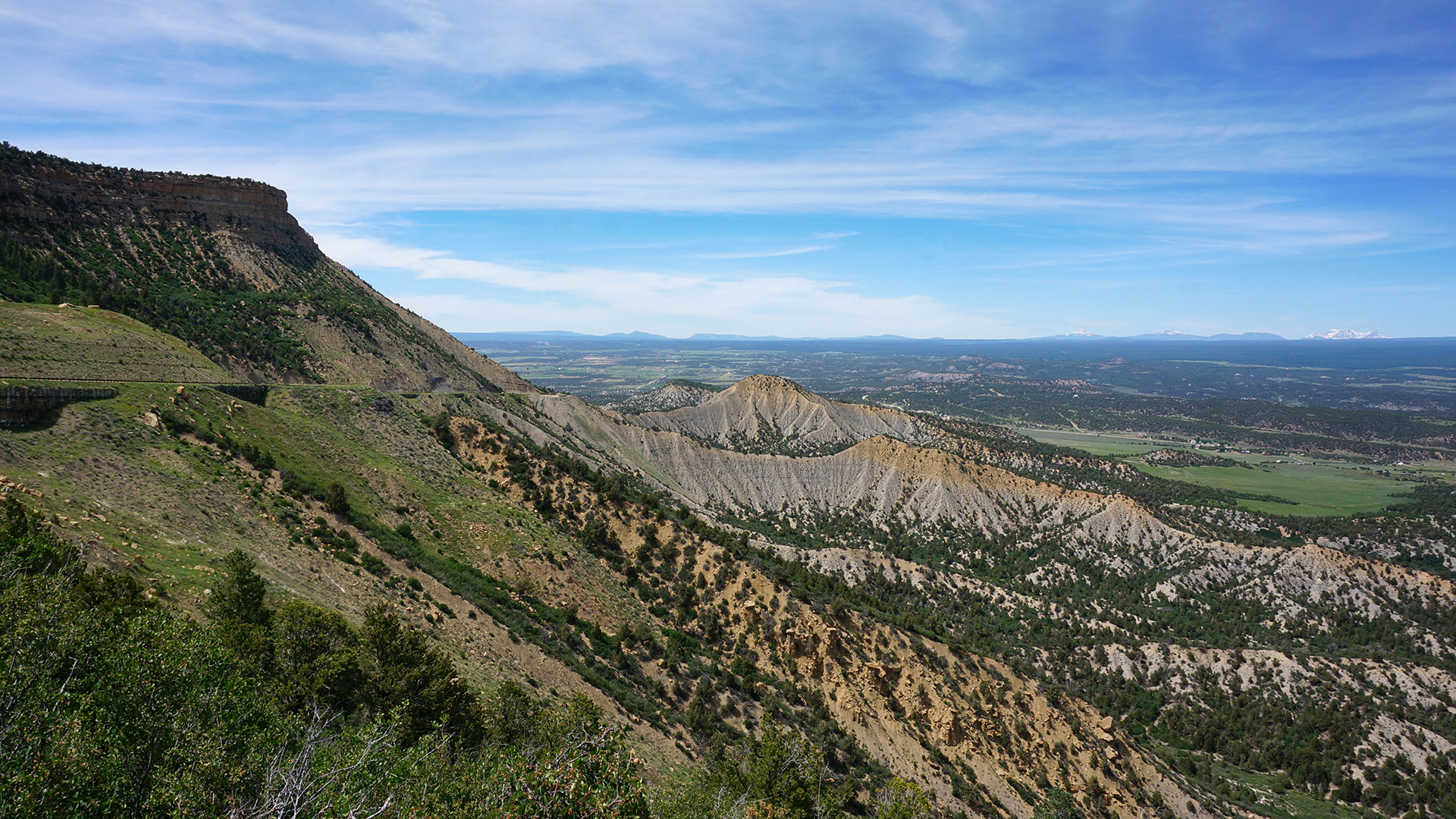
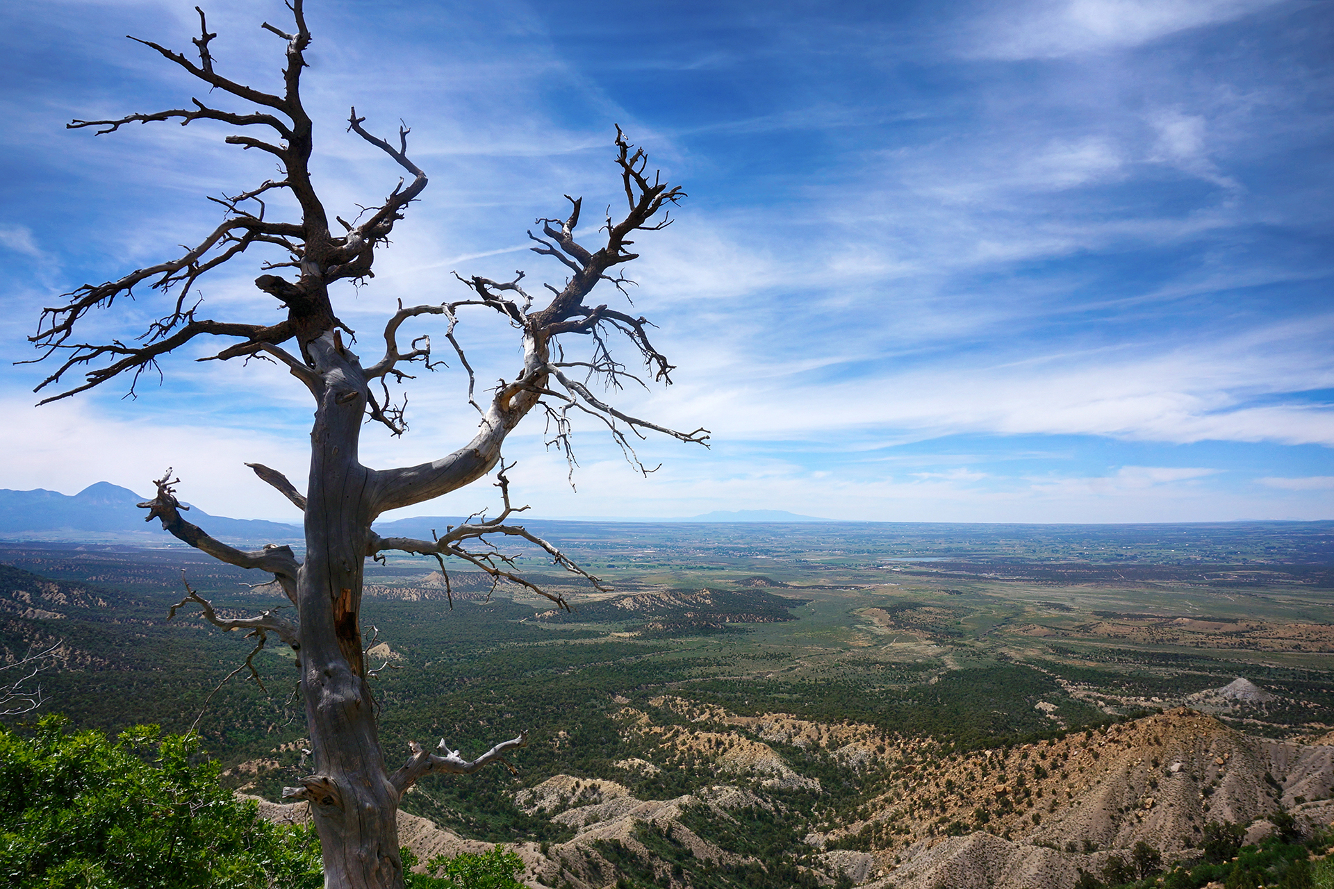
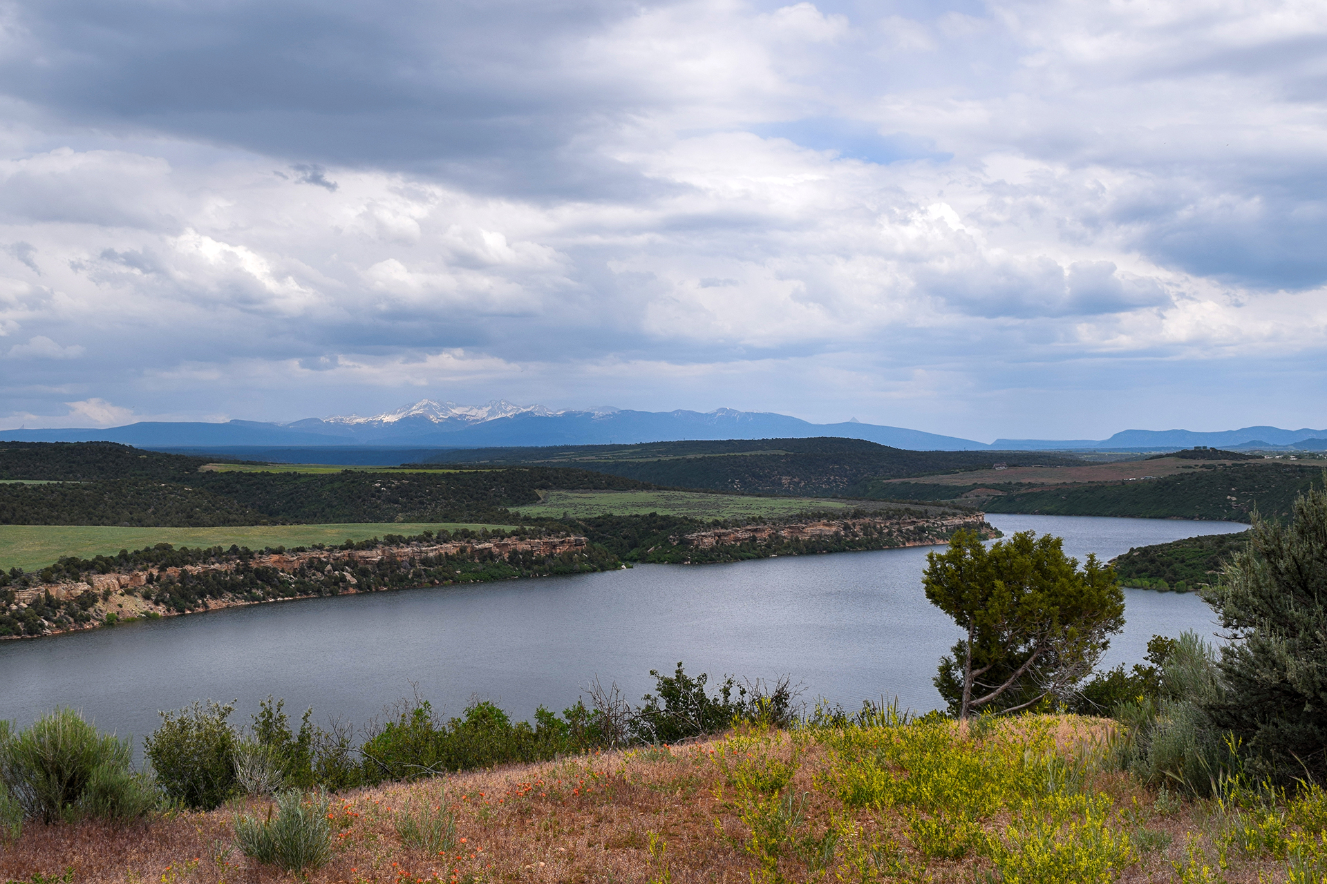
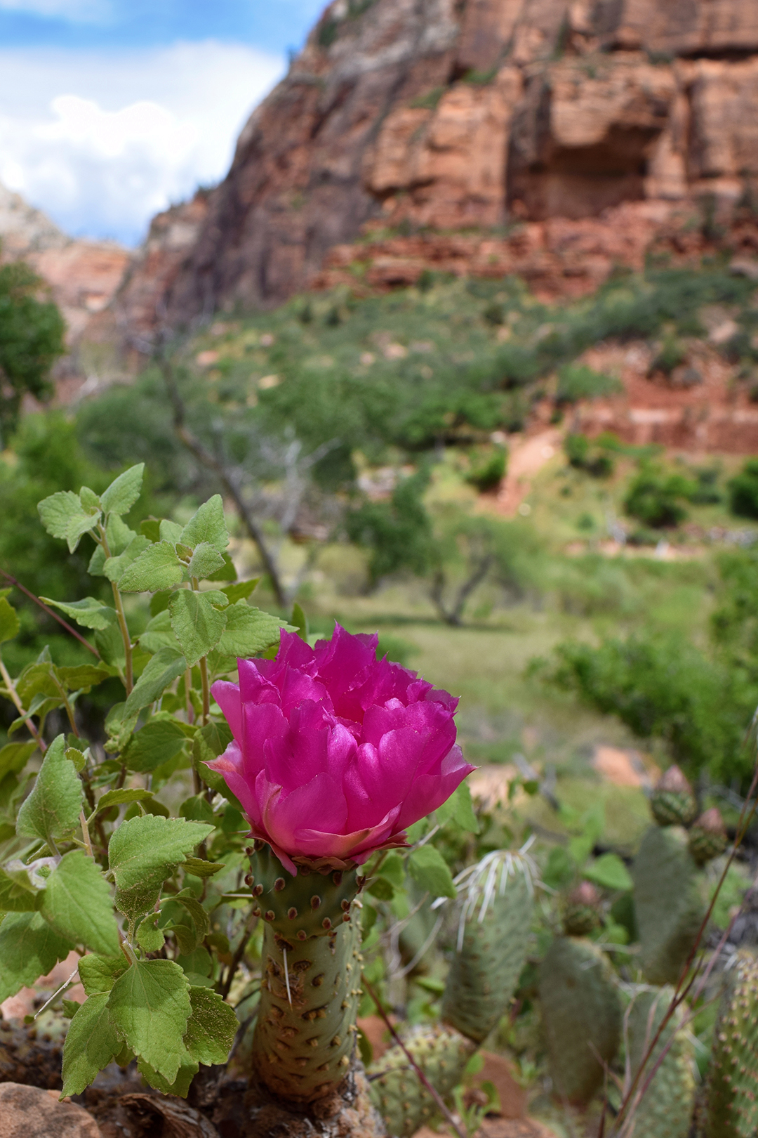
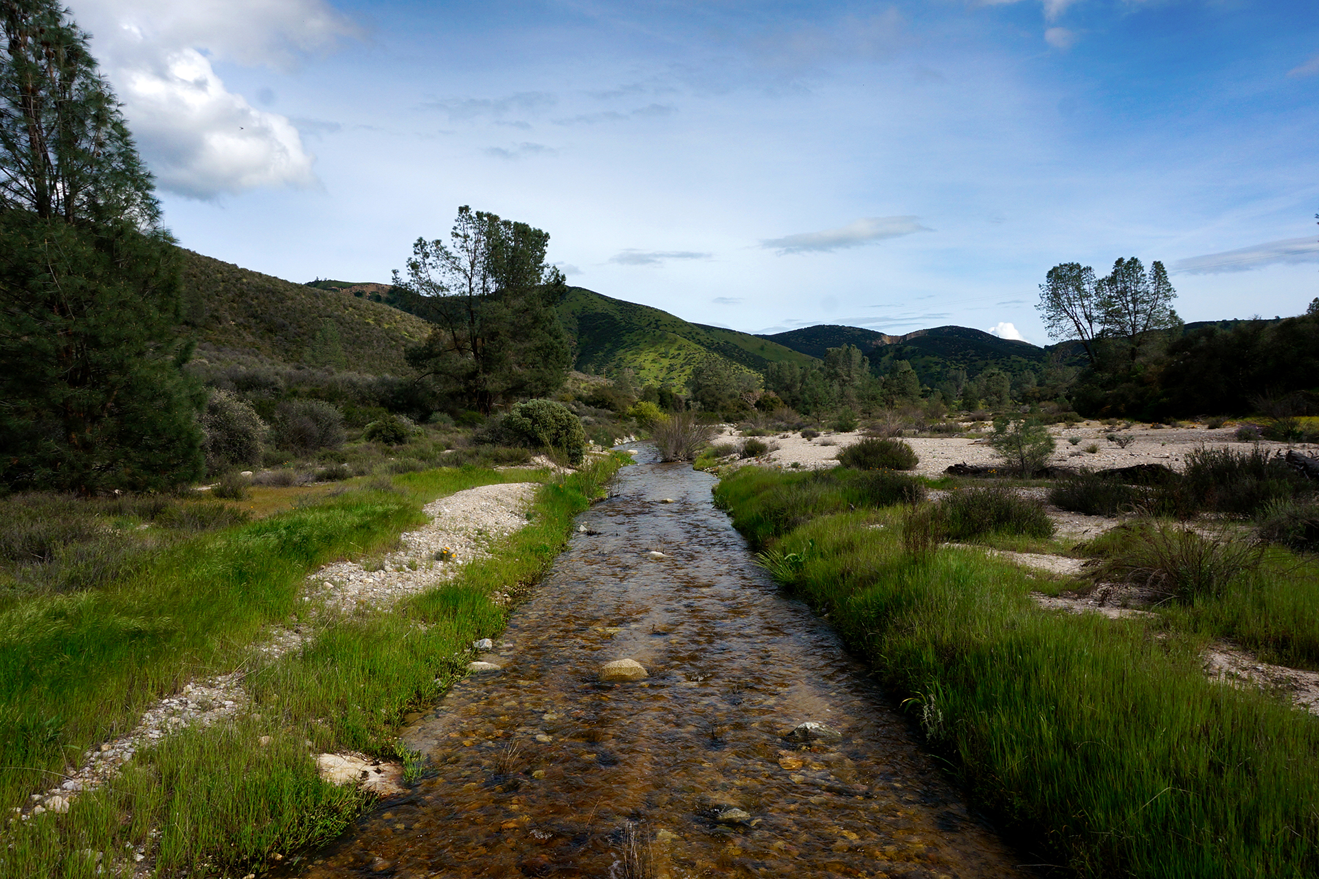
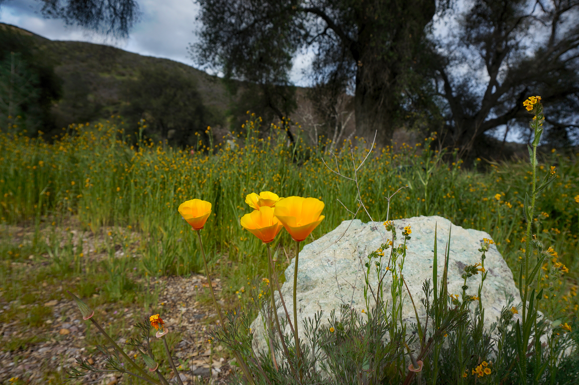
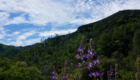
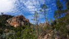
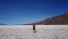
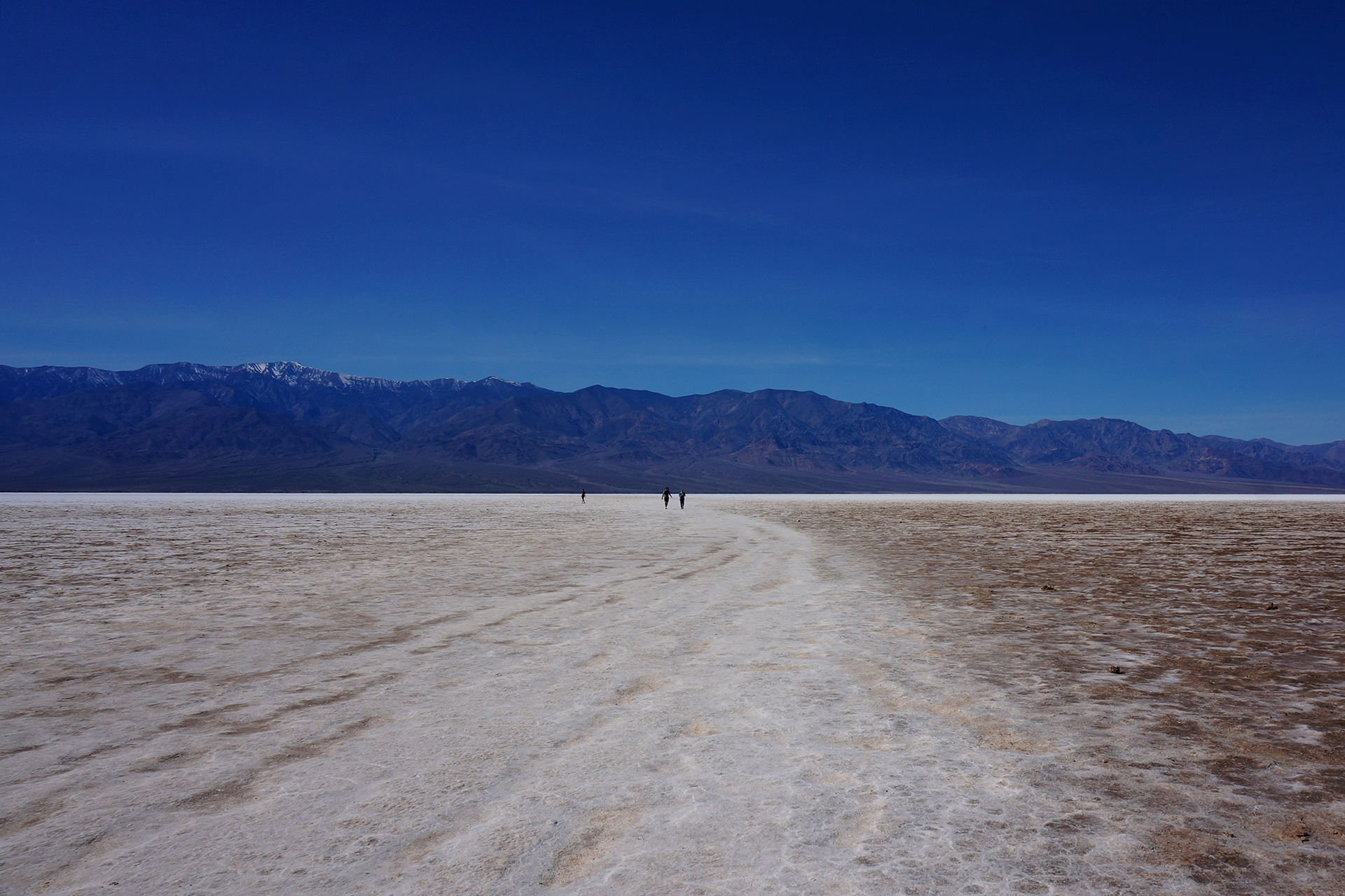
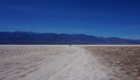
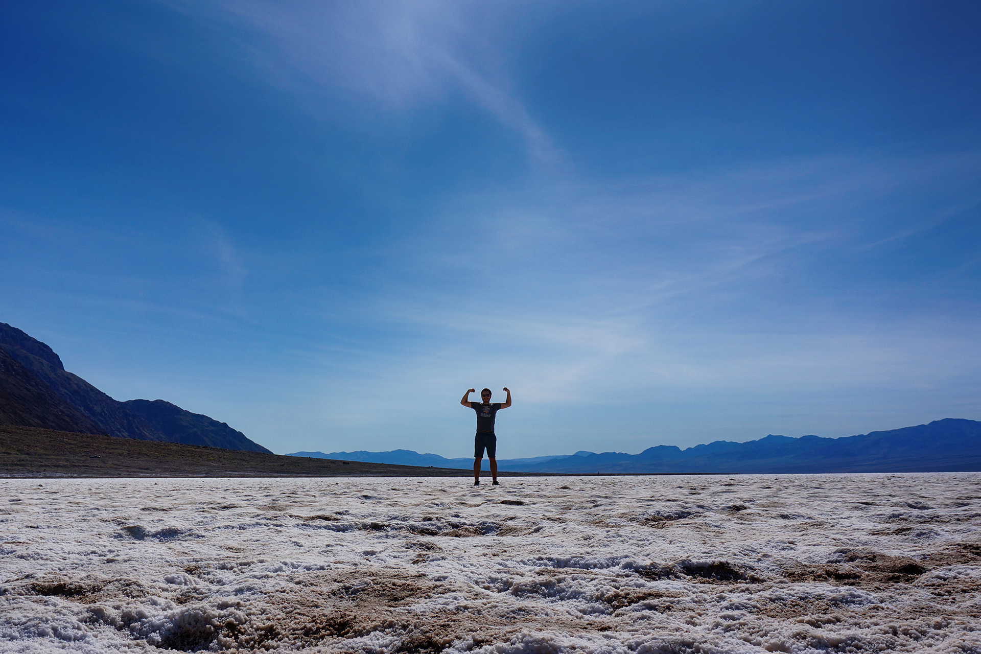
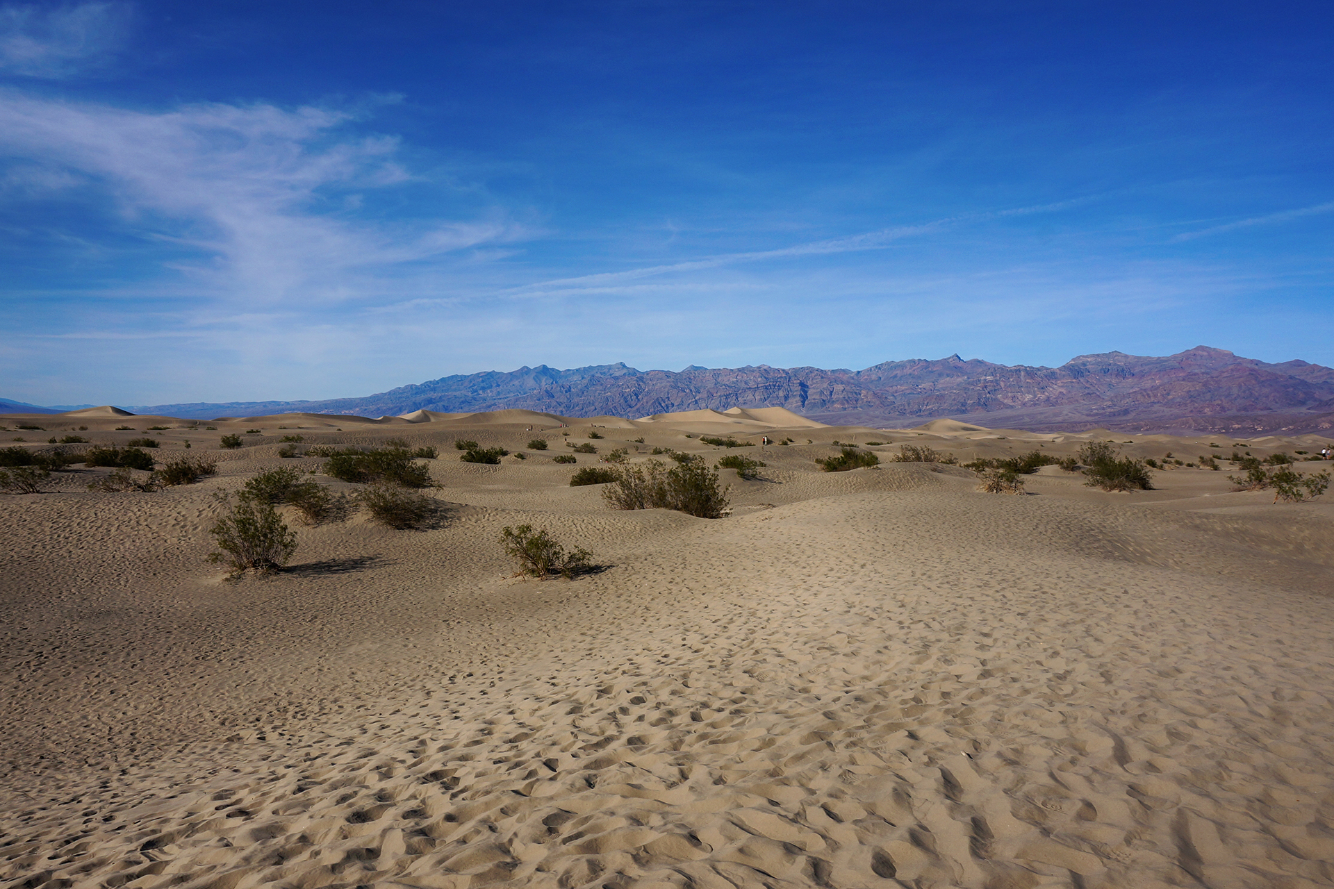
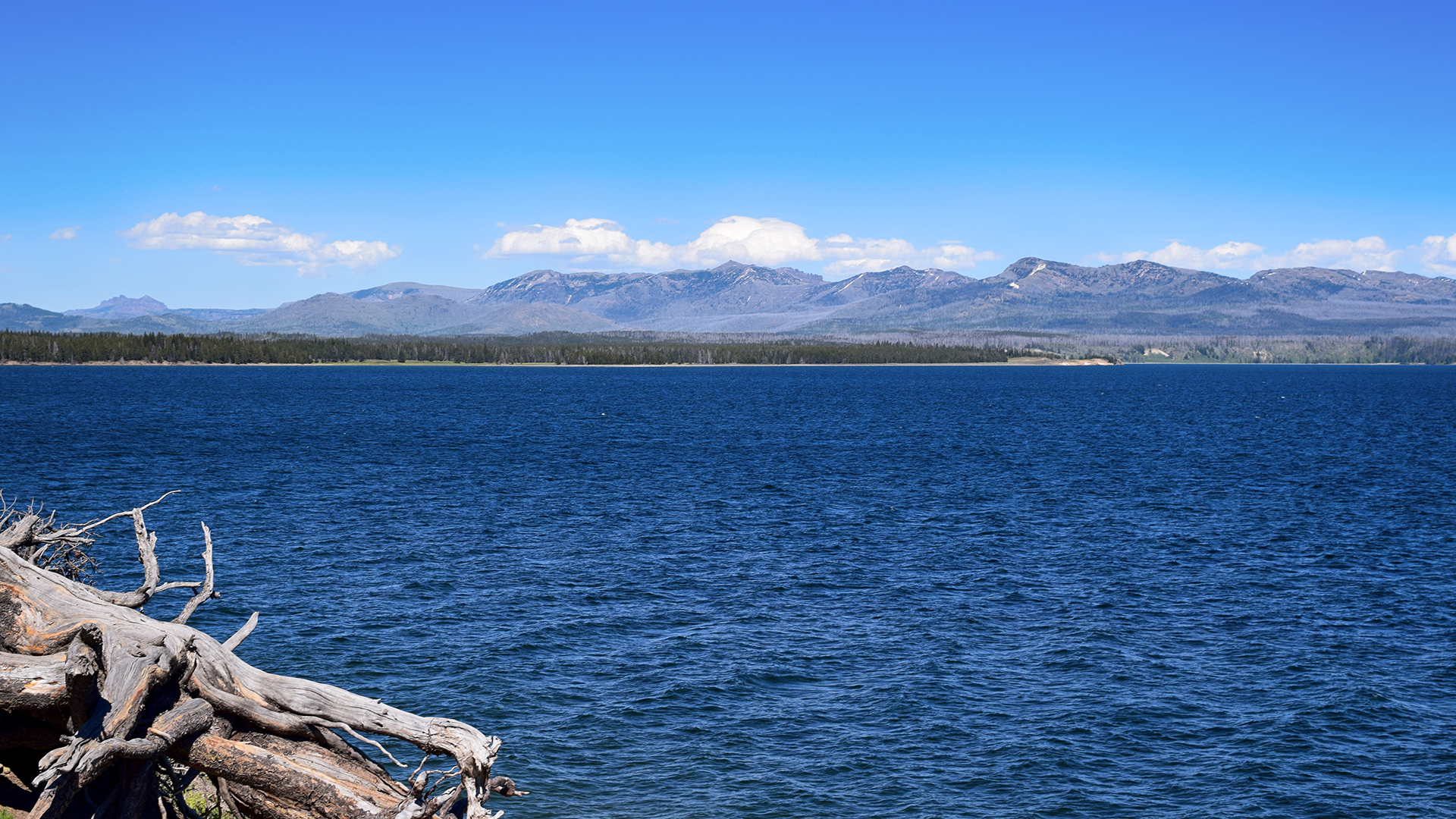
Although the geysers get all the attention, Yellowstone is a beautiful place nearly everywhere.  The landscape is incredibly varied, with windswept plains and dense forests, waterfalls, a huge lake and a mountain pass.  We constantly stopped at overlooks, or just pulled over to gawk and take pictures.

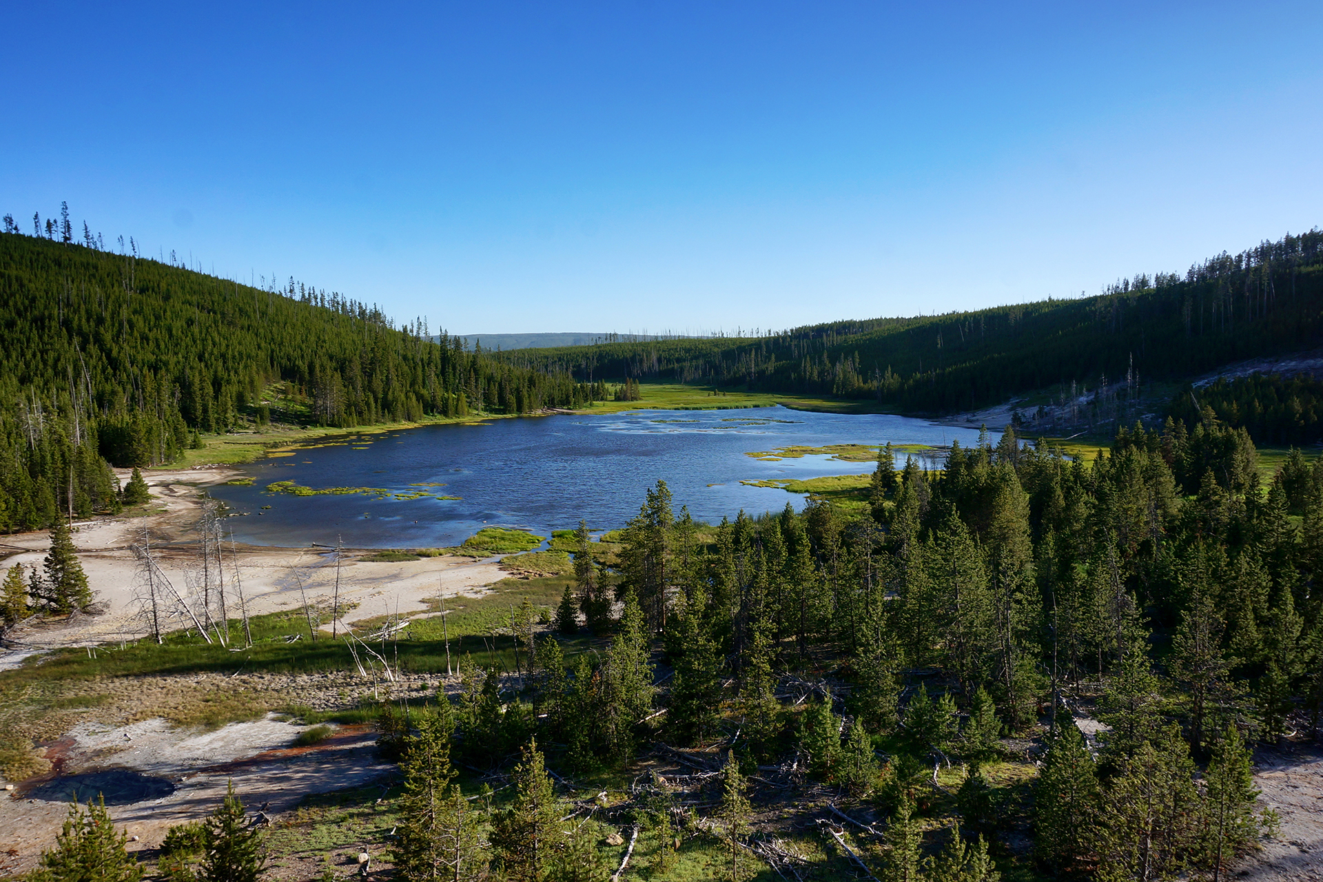
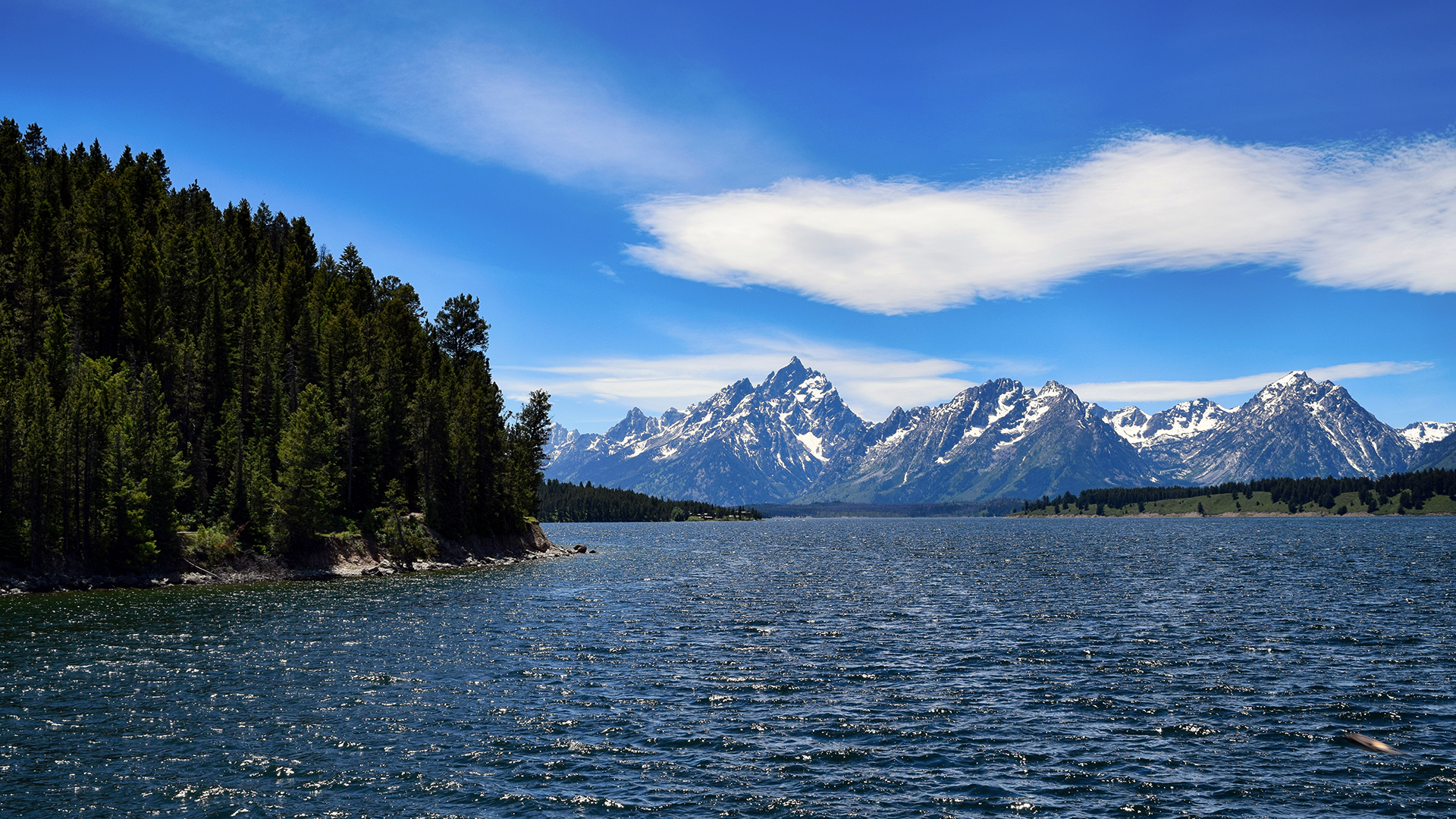
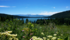
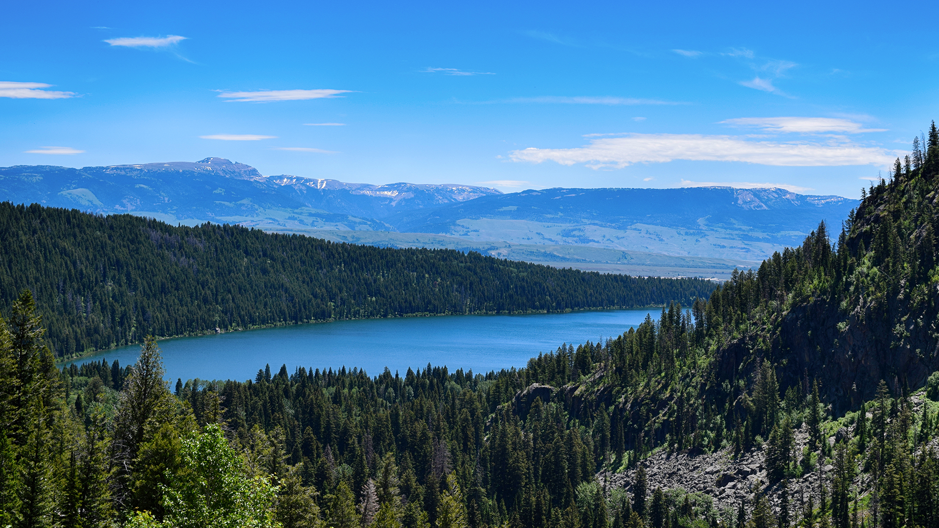
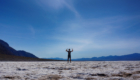
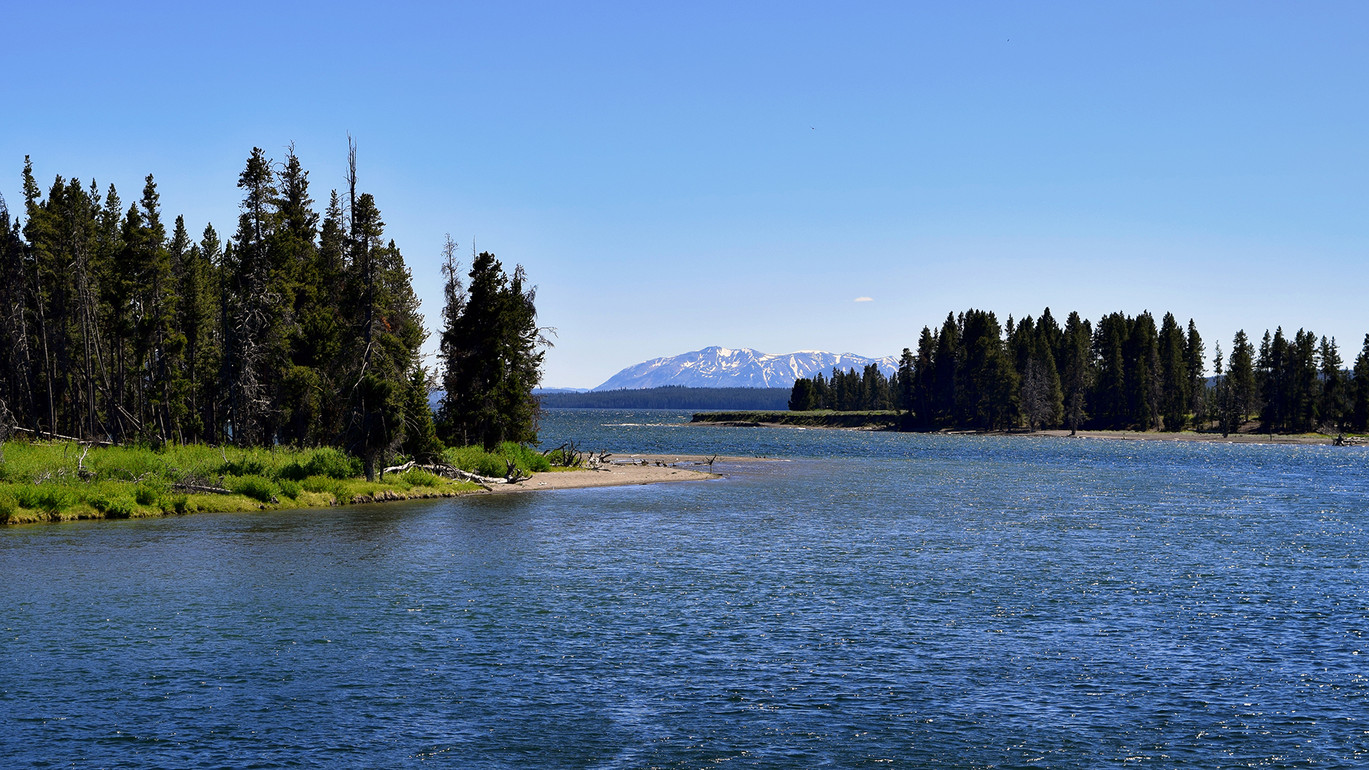
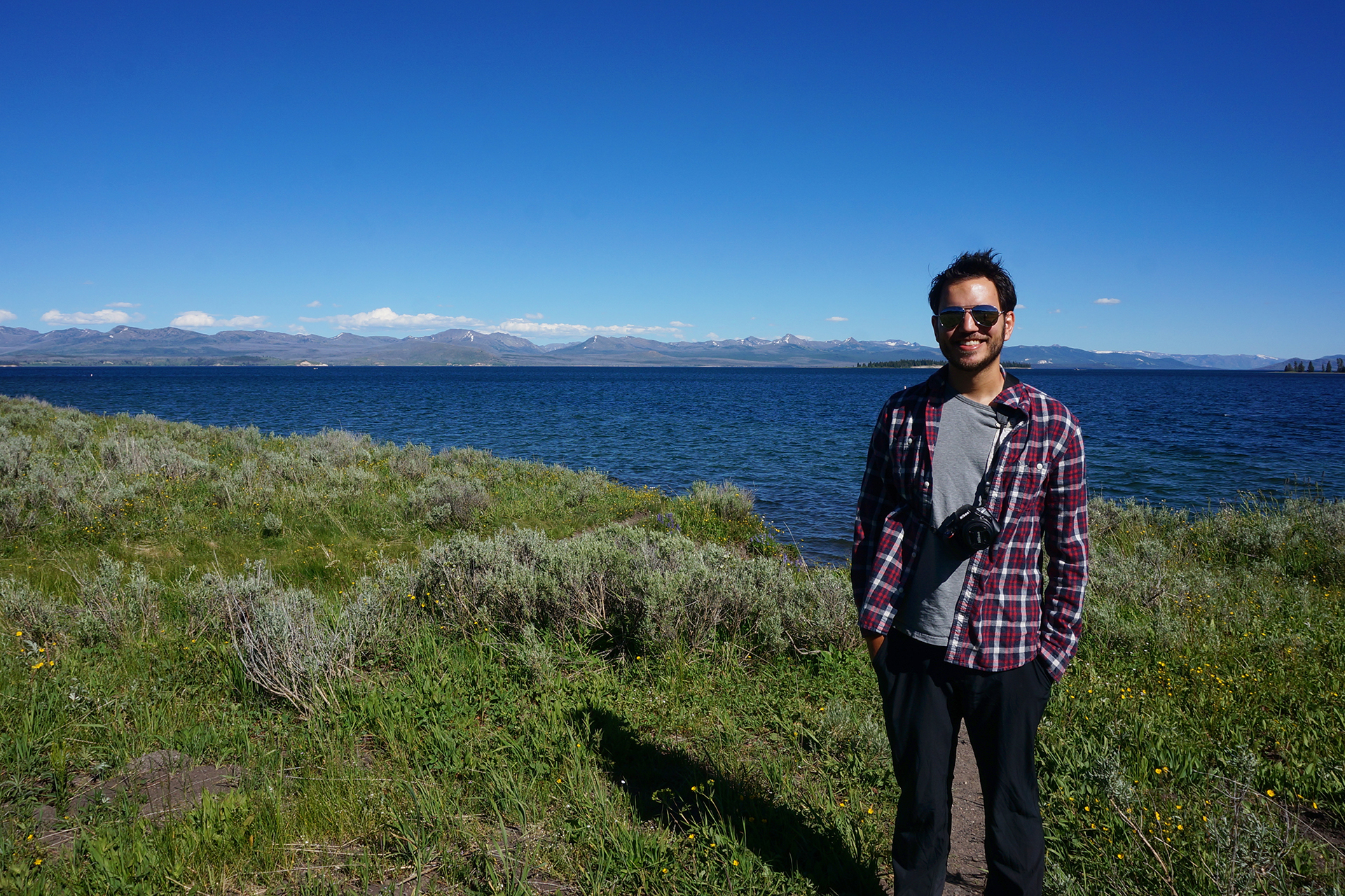
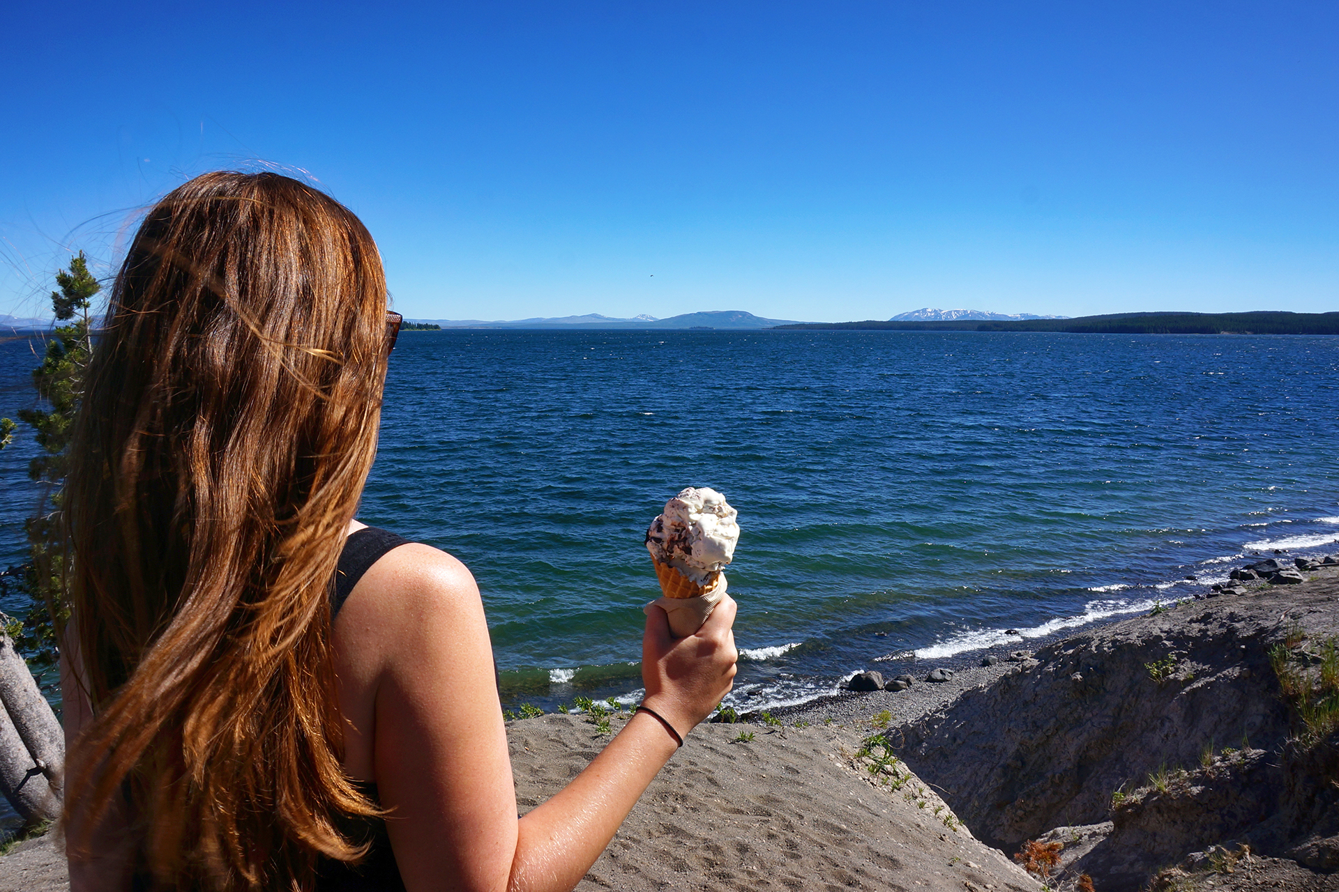
There are multiple huge and pristine lakes.  We stopped by Yellowstone Lake, a gloriously deep blue when we were there in June 2016 (yeah – we’re slow).  It’s the largest freshwater lake above 7,000 feet in North America!

More importantly, they sell ice cream there.

HATS!

We’ve mentioned the crowds at Yellowstone a few times, and that’s because there’s no getting away from them.  The park has long been busy, but last year it was exceptionally so.  Before 2015, the record for visitorship was 3.6 million people in 2010.

Last year?  4.25 million people visited.

Everywhere we went, we struggled with overfilled parking lots, long lines, and traffic jams.  Unfortunately, the park is so big that there’s no easy way to get around except by driving.  And also unfortunately, as an international tourist destination, the park attracts plenty of visitors who have never driven in the United States before.  Jaw-dropping maneuvers are common, oncoming traffic be damned.

There is also an ecological cost to having so many visitors, and that cost can be measured in hats.  Yellowstone is windy, and the non-boardwalk areas are toxic.  The combination is lethal for headwear.  At every pool, every geyser, every hot spring, we saw enough fallen hats that we briefly considered starting an entirely new blog, the Hats of Yellowstone.

We’re not going to just give away all that content here.  Consider this your free taste.

Roadtrip Time Travel

Roadtrip Status

We’ve reached the end of our roadtrip!  We’re settled down in Denver, but we’re going to keep making blog posts and posting our favorite photos from the trip, so stay tuned for more.

Follow Us On Social Media

FacebooktwitterinstagramFacebooktwitterinstagram

Latest Posts

0

Week 52: Grand Teton National Park

After visiting the Black Canyon, it was time to head out of Colorado for a while (but not forever!).  We traveled west, past Grand Junction and Moab, and stayed overnight in a dusty and quiet RV park in Green River, Utah.  Anecdotal reports (read: some guy at a gas station) suggested that we avoid heading west on Interstate 70 from there, so we took Route 6, an easy ride through typically gorgeous Utah terrain.

With a little bit of time before the events to come, we ended up spending three days in Ogden, Utah, just north of Salt Lake City. You can see pictures from our stay there, including stunning Antelope Island, in this blog post.  Then, still taking it easy, we stopped for an overnight stay on our way north to Grand Teton National Park.

We picked the location based entirely on the name: Lava Hot Springs, Idaho.

We forgot to take pictures, so we borrowed this one from the Internet.  We’ll return it later!

True to its name, the town has several hot springs, along with cold-water river tubing.  To be honest, it was pretty hopping for a Sunday night in an Idaho town with a population of 407!  All of our neighbors at the RV park were partying it up – loudly, outdoors.  Not to worry – we were headed for the springs anyway.

As it turned out, the hot springs were very nice, but the “lava” part is not entirely an exaggeration.  It was hot enough that we could only spend a little bit of time in the water before hopping out to cool down.  After repeating that process about four times, we walked back to the RV, which was parked approximately one hundred yards away.

Not sure it would be worth planning a vacation around, but Lava Hot Springs was a pretty nifty place to spend an evening.

Up Up Down Down Left Right Left Right

The next day we got to our real destination.  Well, close to it, which is to say, Victor, Idaho, population 2,000. As it turns out, Grand Teton National Park is not the easiest place to get to. It is literally built into a mountain range.  Victor is on the western side of that range, and our drive in involved switchbacking up and then down an insanely steep mountain, eventually bringing us into Jackson, Wyoming.

We were glad we stayed in Victor, because trying to get over that mountain in the RV would definitely have landed us in some kind of viral video.

View from the top of the pass.  F the Old West, indeed.

We spent our two days in Victor visiting Grand Teton National Park, and it was glorious.

On the first day, we drove the big scenic loop drive, taking approximately one million photos and swearing continuously at how gorgeous everything was.  Even the visitor center was awesome!

If you’re not familiar with the park, it has two main parts. One part sits on a broad, shockingly flat plain (there’s even an airport!) between mountain ranges, dotted with beautiful trees, rivers, and lakes.

This valley is called Jackson Hole.

Eponymity

The second part of the park encompasses the mountains themselves. “Grand Teton” is both the name of the park and the name of the highest peak (the one in the middle below).  It’s a handsome, brooding crag, and you’re about to see it in the background of a lot of photographs.

The scenic drive took us past the peaks and then back, showing us Grand Teton and his friends from a thousand angles in a thousand shades of sunlight. We were fascinated with photographing the mountains, long past the point where we normally get bored, and the park just kept showing off in new and stunning ways.

Room With A View

We could spend forever naming these places, but we’ll just show off a few, like this awesome picnic spot near Jackson Lake where we munched our lunch. (We were champion lunch-packers by this point in our trip, by the way.)  It was mid-June, the weather was amazing, and there were flowers everywhere.

Rough life.

There was also the beautiful Jenny Lake, which Jake’s family fell in love with during a trip out West in his early teenage years.  Owing to parking issues and some off-camera construction, the experience in person was a little lackluster this time, but you still can’t beat that view.  The water here is a preposterous blue.

(Incidentally, Jenny Lake features in a beautiful story written by our friend Maggie.)

If you’re wondering, Jake’s bright blue shades were purchased in the gift shop after his existing pair broke – and yes, they do say “Grand Teton” on them.

Effing Gorgeous

Everything at Grand Teton was stunning, but our favorite of all was probably Oxbow Bend. Even though this picture turned out really well, it was truly awe-inspiring in person.

Remember how we mentioned swearing at the beauty a lot?  Well… this was definitely a 4-letter view.

The Valley of the Shadow of Death

We saw most of the tourist-friendly stuff on Day 1, so Day 2 was spent doing our favorite national park activity: hiking! We drove a few miles down a bumpy dirt road (a common Jake and Heather refrain) before getting nervous about the road conditions and parking in a random dirt lot.  We thought we were close to the trailhead… but we were actually a mile away.  D’oh!

After finally making it to the trail, we set off through a dense pine forest which just smelled amazing.  Soon, we emerged to a glorious view of… well, whatever this lake was called.  “Lake Something.”  Or maybe… “Something Lake.”

Whatever.  It was pretty.

(Note from Heather: It’s Phelps. Phelps Lake.)

We knew this was supposed to be a difficult hike, but getting to the lake was easy.  We decided at this point we were just so badass that it felt easy.  Then… we started going up.

And up.

And up.

Friends, this is what happens when you choose to hike up something named “Death Canyon”: you get your 3-letter word kicked. The hike ended up being 10+ miles round trip, most of which was spent going straight up a mountain, before turning around and heading right back down.

Oh, and as a fun bonus? The trail runs directly through grizzly bear habitat, and as it happened, we coincidentally went about an hour in the morning without seeing any other humans.  It was just us, a can of bear spray, a walking stick, and some very close vegetation – making lots of worrisome noises.

We never did see a bear, though – at least not at Grand Teton – and the closest we came were some frolicking marmots at the top.  The scenery was unparalleled, as was the feeling of hiking through the huge, U-shaped glacial valley.  We enjoyed another picnic lunch with a view, sitting near a mountain waterfall and a cool old log cabin, before enjoying the bear-free scenery on our much easier descent.

It was a tough but satisfying day, and who would know if we later saw a bunch of young children scampering up that supposedly-difficult trail with infuriating ease?  Certainly not our readers.

Go Fisch

Our final note from Grand Teton has nothing to do with scenery. Jake’s great-uncle on his father’s side moved out to Idaho with his family many years ago, and as it turns out, they all still live out in this area.  We met up for a fantastic home-cooked dinner at the home of Jake’s cousin (once-removed), which turned out to be in… Victor, Idaho.

In fact, after getting lost and driving around aimlessly for a few minutes, we realized her house was basically directly across the field from the RV park we were staying at.  Imagine a Family Circus cartoon, and you’ve pretty much got our driving route.

Courtesy of xkcd

All’s well that ends well, though, and we did finally make it.  It was great to reconnect and, in Heather’s case, meet the other half of the Fischer family for the first time. This was the end of a very long stretch of time in which we saw literally nobody else we knew, so this was a special and much-needed night for us.

We forgot to take a group picture to commemorate, but we did leave laden with food, so we’ll call it an A+ evening on the whole.  Thanks again, Idaho Fischers!

Roadtrip Time Travel

Roadtrip Status

We’ve reached the end of our roadtrip!  We’re settled down in Denver, but we’re going to keep making blog posts and posting our favorite photos from the trip, so stay tuned for more.

Follow Us On Social Media

FacebooktwitterinstagramFacebooktwitterinstagram

Latest Posts

0

Week 51: Black Canyon of the Gunnison

After our short but fascinating visits to Mesa Verde and Hovenweep, we headed northeast through western Colorado to a town called Montrose.  This was easier said then done: the high Colorado peaks typically run north-south through the state, but between Cortez and Montrose there is a spur, which is to say, “very high mountain range.”  In the spirit of adventure – and after some thorough research – we decided to take the direct-and-scenic route directly through the mountains via Highway 145.

We were a little nervous after our disastrous drive on Utah’s Scenic Highway 12, but Highway 145 was smooth sailing.  The views were magnificent the entire way, and when we stopped for a quick picnic lunch at the highest point, Lizard Head Pass, we just had to take a picture.  The result was one of our favorites from the trip.

As usual, getting back down from the mountain pass was trickier than getting up, but careful braking and our RV’s extremely non-aerodynamic profile helped us descend safely.  We soon made it to the wide-open RV park near Montrose, and if the CVS in Cortez had been exciting, the big-box stores here made us positively giddy.  It had been over a month since we had been in any kind of real city (Salt Lake City), and the dusty tourist towns of Moab and Kanab just can’t quite scratch the itch.

We will happily wander for 40 days in the desert, so long as there’s a Target at the end.

The Black Canyon of the Gunnison

We stayed in Montrose to visit the nearby Black Canyon of the Gunnison, a national park with a foreboding name.  Although obscure, it turned out to be well worth visiting.  The Black Canyon is named because it is so deep and narrow that sunlight almost never reaches the bottom.  The deepest spots receive only 33 minutes of sunlight per day.

The “Gunnison” part of the Black Canyon of the Gunnison is a swift-flowing river, and it carved the canyon over the course of millions of years.  Unlike the rivers that created most large canyons, however, the Gunnison did not have the luxury of cutting through soft sandstone and limestone.  Instead, the Gunnison carved the Black Canyon out of an incredibly hard type of rock called schist.

Because the rock is so hard, it lasts.  The oldest schist here is approximately 1.75 billion years old.

It all adds up to some rather striking views.  Can you spy Jake in the picture below?

The only reason the canyon is even possible is because the Gunnison flows with incredible fury during the late spring and summer.  At times, the flow rate of the water can exceed 8,000 cubic feet per second.  For reference, wading through the famous Narrows at Zion National Park is prohibited as too dangerous if the flow rate surpasses 150 cubic feet per second.

So, yeah.  8,000 cubic feet per second is a lot.  Venturing in is not recommended.

The Black Canyon looked amazing in person, but it’s tough to photograph because the angles are so sharp. It’s all knife edges and sheer cliffs, and the bottom really is dark.  On top of that, most of the rock is a uniform dark grey, although here and there it is slashed with beautiful seams (“dikes”) of lighter-colored pegmatite.

There are many, many overlooks, mostly between 100 to 300 yards away from the road (for some reason everything at the Black Canyon is demarcated in yards).  As national park completionists, we stopped at every single one, and we’ll just say – 300 yards each way may not sound far, but it adds up to a lot of walking!

We really enjoyed one overlook near the end where the canyon widened a bit.  The cliff wall you can see in these photos is about 2,500 feet high. That’s more than 833 yards!

We also took a short but satisfying hike along the outer rim of the canyon.  The elevation was high so our breath was short, but the views out over Western Colorado were magnificent.

After checking out every overlook, we drove down to the Gunnison river itself.  The route there is called East Portal Road, and it is incredibly steep.  The road continuously switchbacks, and even so, it descends at a ridiculous 16% grade.  That’s far more than you’ll ever see on a highway, but our Fit handled it just fine, albeit only in first gear.

At least we got good gas mileage on the descent!

At the bottom, there was a diversion dam for the Gunnison irrigation tunnel and a tiny information and picnic area.  And… nothing else.  After poking around for a few minutes, we headed back up East Portal Road disappointedly, apologizing to our Fit the entire way as it churned its way back up the mountain.

This time, our gas mileage wasn’t quite so good.

Roadtrip Time Travel

Roadtrip Status

We’ve reached the end of our roadtrip!  We’re settled down in Denver, but we’re going to keep making blog posts and posting our favorite photos from the trip, so stay tuned for more.

Our trip to the Black Canyon was on June 14, 2016.

Follow Us On Social Media

FacebooktwitterinstagramFacebooktwitterinstagram

Latest Posts

0

Week 50: Mesa Verde & Hovenweep

After a week in Moab and visits to Arches and Canyonlands National Parks, we continued on our roadtrip, heading southeast into southwestern Colorado.  We had originally planned to visit the famous Monument Valley at this point – it appeared in Forrest Gump, along with many, many westerns – but it didn’t work out.  The area around Monument Valley is incredibly remote, and with so few services, we had been planning to just park in the desert for free.  However, with triple-digit temperatures every day, no air conditioning, and a living space that heats up like a greenhouse, we decided to save Monument Valley for “next time” and head for cooler climates.

Well… air conditioned climates, anyway.  We stayed in Cortez, Colorado, just northeast of the Four Corners (which we did not visit because it is a horrible tourist trap).  From Cortez, it was a short but winding drive to visit Mesa Verde National Park, and a longer but much straighter drive to Hovenweep National Monument.

One exciting development, by the way: Cortez had real stores!  Safeway, CVS, a place to change the oil on our RV – all very welcome for your weary correspondents, who had spent the last month in small towns in the Utah desert.

Mesa Verde

We only had two days in Cortez, but we made them count.  We first visited Mesa Verde National Park, a little-known park set, like Canyonlands’ Island in the Sky, on top of a giant plateau.  Unlike Canyonlands, however, the scenery is not the draw here (although the views were gorgeous).

Unique among national parks, the main draw of Mesa Verde is the huge number of archaeological sites.  In particular, this is the finest place in the country to see Ancestral Puebloan cliff dwellings, located along the edges of valleys like the one below.

The area around the park has been settled since approximately 7500 BCE, but most of the cliff dwellings were built between 750 and 1300 CE.  They are amazing in person, surprisingly large and in excellent condition due to the dry desert air.  (It’s worth noting that many were also restored from ruin by the park service.)  We previously saw cliff dwellings at two locations (one and two) in New Mexico, directly to the south, but the buildings at Mesa Verde blow the ones we saw out of the water.

Much of the park involves a self-guided driving tour, where we looked at various preserved archaeological sites.  This frankly wasn’t all that interesting, but periodically an overlook would provide a view down into a nearby canyon, and we would excitedly point out a visible cliff dwelling.  They’re well camouflaged, so we probably missed some – the park holds more than 600 cliff dwellings in total.

After the drive, we had tickets to take a ranger-guided tour through the Balcony House, one of Mesa Verde’s three largest ruins.  The tour group was huge, but we all fit inside the incredibly well-preserved main room.  In our photos, you can see different rooms – used for storage and sleeping – as well as the large central “kiva,” the round cut-out in the floor that served religious and ceremonial purposes.

The most important part about Balcony House is actually hidden.  In the back of the cave, there is a small, muddy pool of water, fed by a spring in the rock.  Access to drinkable water was hugely important in such an arid region, and all of the major cliff dwellings at Mesa Verde were built around such natural plumbing.

One other fun thing about Balcony House is that the Native Americans who used it did not use ladders or rope.  Instead, they climbed up and down the sheer cliff walls via tiny finger-holds carved into the rock.  Crazy!  Tours today are a little more forgiving, but we did still have to squeeze through a small tunnel in the rock near the exit.

If you ever decide to visit Mesa Verde, you might want to hit the gym first.

After escaping the crowds, we took one last stop to check out the Far View Sites, a short trail that links several ruins that are on the top of the mesa. These ruins are about 200 years older than the cliff dwellings, making them over one thousand years old (!). We were pretty much the only people here, other than a ranger stationed near the trail head. Ah, sweet solitude. Our favorite way to explore.

Hovenweep

On our second day in Cortez, we stopped at the excellent Anasazi Heritage Center*, where the friendly volunteer staff answered all of our dumb questions and even gave us some chocolate bars.  (One thing that became clear to us on our trip: most of our nation’s parks and museums run on volunteers!)  The artifacts on display fascinated us, especially a seven-thousand-year-old basket, as well as the beautiful examples of modern-day basket weaving. And, of course, there was another archaeological site – ruins from the 12th century.

* The preferred word for these peoples now is Ancestral Pueblo; the term “Anasazi” comes from opposing Native American tribes, and was essentially a slur meaning “Ancient Enemy.” 

After having our fill, we decided on the advice of the locals to check out Hovenweep National Monument, a tiny, extremely remote park located on the border between Colorado and Utah on the Utah side.  It’s absolutely barren all around – we were frankly surprised to find that the visitor center had electricity.

But Hovenweep protects something very, very cool: the ruins of dozens of ancient brick towers, built hundreds of years ago by Native Americans – and then abandoned.

The towers at Hovenweep were built between approximately 1200 and 1300 CE, mostly along the canyon edges, with some on the canyon floors.  Nobody really knows why the towers were built, or why they were abandoned.  The largest are three stories high, the precision-cut stone and mortar still holding strong in the desert air.

You can get right up close to many of the towers, with others only visible in the distance.  With so many unique and arresting shapes, it’s a photographer’s paradise.  It was also quiet and still, as only about 4 other people were around in the entire area.  For the first time, we broke out our zoom lens and tripod, trying to capture the somber, slightly awed feeling we felt at being among the ruins.

We probably still didn’t do it justice, but we hope you like the pictures.

Roadtrip Time Travel

Roadtrip Status

We’ve reached the end of our roadtrip!  We’re settled down in Denver, but we’re going to keep making blog posts and posting our favorite photos from the trip, so stay tuned for more.

Our trip to Mesa Verde and Hovenweep was June 10-11, 2016.

Follow Us On Social Media

FacebooktwitterinstagramFacebooktwitterinstagram

Latest Posts

0

Week 47.2: Zion National Park

Zion National Park is often rated as one of the most beautiful national parks in the country, and with good reason.  Zion is a canyon, or series of canyons, but unlike at the Grand Canyon, you enter from the valley floor.  The valley is lush with greenery, since the Virgin River that cut it still flows through, and if you stand in just the right places, the mountains curve away into the distance in the most breathtaking way.

Our favorite part of Zion were the many beautiful cliffs.  Incredibly tall and sheer, each showcases a stunning gradient of fantastically varied colors.  Zion sits in the middle of what is known as the “Grand Staircase,” a vast rock formation (recently protected as a national monument) which stretches across Utah and Arizona from Bryce Canyon to the Grand Canyon.  The “steps” to the staircase are rock layers – the oldest (bottom-most) rocks at Zion, a dusty vermillion red, are the youngest (top-most) rocks at the Grand Canyon.

As you look up towards the top of the canyon walls, you see ever-changing bands of color that terminate in a beautiful white stone.  In the tallest places, we could even see an eye-popping yellow.  On the top of the Grand Staircase, at Bryce Canyon (coming up next), these white and yellow colors are at the bottom of the deepest cliffs.

Stop – Transit Time

We visited Zion from Kanab, which is a short but not easy drive.  The route requires traveling through the park’s east entrance, an old, mile-long tunnel blasted by the CCC.  The tunnel is quite low and narrow, and it has to be closed to one-way traffic every time an RV or bus goes through, because they only fit if they can drive in the exact center of the lanes.

We were in our car, so we fit fine, but we often had to wait for an RV to pass through.  In retrospect, we wish we had stayed in the town of Springdale, where you can walk directly into Zion. Once you’re in the park, it’s pretty easy to get around – like many heavily-visited national parks, Zion has a free shuttle system to take you to the main sights.  Unusually, use of the shuttle is actually mandatory from spring to fall.  The road into the canyon is closed, and you park on the outskirts and take the shuttle to different spots inside.

Getting around via shuttle can be a little slow, but we didn’t mind.  Zion is a delicate place, and we were happy to help preserve it. As a bonus, we really enjoyed watching the palpable horror some of our fellow Americans felt at having to use public transit.

Razor Thin Margins

There is an incredible amount to see at Zion, with overlooks all over, and it’s a hiking paradise.  We went three times and barely scratched the surface.  In particular, we never got to hike the famous Narrows or the Subway, slot canyons still being carved by the Virgin River.  We really wanted to try them, but the routes were closed.  The river essentially is the hiking (“wading”) trail, and the spring melt had left the water level and flow rates dangerously high.

Don’t worry, we still found plenty of ways to risk life and limb.  We kicked things off with a bang by hiking the also-famous Angels Landing trail, which we knew little about before we started (familiar territory for us).  It starts with a steep, 1,000 foot climb before reaching a plateau with some nice views, and for the adventurous, you can go another half-mile to an incredible viewpoint.

The only catch?  That last half-mile involves hiking on a knife’s edge, with the trail sometimes just a few feet wide, and 1,000+ foot cliffs on either side.  In mountain hiking terms, this is called “exposure,” as in, “you are exposed to dying.”  A single chain acts as both a guard-rail and handhold, but it’s two-way, so you constantly have to let go so people can pass.

Holy hell, that was crazy.  It turns out quite a few people have died doing the Angels Landing hike, something we were happily ignorant of before we started.  It was definitely scary – Jake has spent much of this trip working on his fear of heights, but Angels Landing was desensitization treatment in the extreme.  Even once we reached the top, which was mercifully flat, there was one last walk between cliff-edges, with the wind gusting unpredictably as it tried to push us off.

It was all tiring, and terrifying, and occasionally flat-out insane, but those views…

All worth it.

Bonus story that will make your blood boil: as we headed out into the terrifying chains portion, we passed a family with FOUR TODDLERS coming back the other way.  Like, 3-5 years old, max.  Each one was wearing, essentially, a dog harness, with the leash tied to an adult in the group.  So, points for safety, but we still wouldn’t recommend it.  The kids were clearly exhausted – this was a tough hike for us, and we were pretty much professional hikers at this point – and kept asking when their nightmare death climb would be over (paraphrasing).

Their parents just told them to stop complaining.

Taking It Down a Notch

After our Angels Landing adventure, we decided to lower our risk of death by exploring the canyon floor.  There was plenty to see, most notably the Emerald Pools, a series of waterfall-fed pools that couldn’t possibly kill us.

Except… while looking up the Angels Landing death statistics for this post (5 official, many more unofficial), we discovered that the National Parks Service lists 7 deaths for Emerald Pools, more than for Angels Landing!  The lesson: never go anywhere.

The Emerald Pools weren’t even that photogenic, which is why we aren’t featuring pictures of them here.  We did have a fun encounter, however, when a group of college kids asked us to take their pictures using a ridiculous Polaroid-style camera.  To sweeten the deal, they offered to take a Polaroid of us in return.  So we took their picture and had ours taken in return – and it turns it’s still pretty fun to get a physical picture, even if has an image quality somewhere between “prehistoric cave painting” and “mud stain.”

Up And At’em

For our final experience in Zion, we decided to try another long hike, this time climbing up the side of the canyon wall towards the rim.  It was tough, but the terrain was constantly changing, keeping us entertained.  There were valley views, different valley views, sand, switchbacks, a (sort of gross-looking) reflecting pool, and even a small slot canyon with a talus cave!

After we made it to the top, we walked about a mile along the rim, passing the yellow stone we discussed earlier.  We also took a lot of pictures, snapping them whenever the view down Zion Canyon changed ever so slightly.  (We took over 1,400 photos during our three days here!)  We ended up on a large promontory – the literally-named “Observation Point” – which juts out into the canyon like the prow of a ship.

Standing on one of the highest points in the area, we had an incredible, 360 degree view.

You can see Angels Landing in these photos – it’s the large, fin-like “island” in the valley below.  That’s where we hiked with the chain and the exposure and the toddlers-on-leashes.

Someday, we really hope to do it again.

Roadtrip Time Travel

Roadtrip Status

Still alive?  Check.

Where are you now?  Ithaca, NY, seeing about a million waterfalls.

Next location?  Going down to visit NYC!

Follow Us On Social Media

FacebooktwitterinstagramFacebooktwitterinstagram

Latest Posts

0

Week 37: Pinnacles of Hiking

After a wet week in Morro Bay, we headed up the California coast on Highway 101.  Our destination was the 59th and newest national park, a place that most people probably haven’t even heard of: Pinnacles National Park.

Spoiler alert:  It’s awesome.

Exactly Like The Stone Age

Pinnacles is more or less in the center of California, fairly close to a lot of population centers, but it felt very remote.  Highway 101 is about a half-hour away, connected by beautiful, curvy roads that might have been our favorite RV driving of the entire trip.  Our campground at the park had electric hookups, which is somewhat rare and very welcome for a National Park, and it was spacious and empty.

The one drawback – if it is a drawback – is that Pinnacles has no cell service whatsoever.  We’ve stayed in some fairly remote places, but the Internet blackout at Pinnacles was the most complete yet.  Even Death Valley and Big Bend had service sometimes.  The lack of Internet terrified us at first, but to be honest, it was actually kind of nice.  It’s so rare to be able to silence the outside world completely, and we found that not having the Internet as a time-waster made us incredibly productive.

In three days, we wrote six blog posts, deep-cleaned our living space, made a video tour of our RV, and went on two mind-blowing hikes.  Incidentally, we got about 95% of the way through editing that video tour, but then we got our Internet back, and never finished.  There is probably a lesson to be learn-

ooh, Facebook notification!  Better check that out.

To The Batcave!

The primary thing to do at Pinnacles is hike.  The park area is fairly small, so unlike most of the national parks we have visited, we actually got to see most of it.  On our first day, we hiked down to some talus caves, which are essentially canyons that have been roofed over, incompletely, by boulders.  While some sunlight enters the caves through cracks, other places are completely dark. Bats apparently love them.

The talus caves at Pinnacles blew us away.  They were too dark for good pictures, so here’s what it was like: we were completely alone inside the caves (it was a weekday afternoon), hiking over and through a swollen stream that ran down the center of the trail.  The dim, inconsistent sunlight, along with our dim, inconsistent flashlights, created dramatic shadows that jumped and flickered as we went deeper into the cave.  We heard – and felt – a roaring waterfall, hidden in the darkness, glimpsed only through the occasional beam of illumination.  It was wet, disorienting, and utterly amazing.

We climbed a narrow metal staircase alongside the waterfall and emerged, blinking, into the sunlight.  The wet and wild caves receded, and we continued on.  Soon, we found ourselves walking an ancient stone stairway, underneath a boulder…

… alongside another waterfall – and yes, it was as awesome as that sounds.

There was a lot more, including beautiful views of a reservoir and some adventurous cliff-side photo-taking, but no need to type it out.  Take a look at the pics below.

The Pinnacle of Pinnacles

After exploring the talus caves, we figured things couldn’t get any better, but we were wrong.  The next day, we embarked on a long hike through the center of Pinnacles National Park, walking the top of a ridgeline for miles.  It was definitely a tough hike, but the views were staggering.

The beginning of the hike switchbacked up a lush mountain trail, where we caught views of the rocky peak that we would soon be hiking along. The sky was ridiculously blue, the grass was super green, and there were pretty wildflowers everywhere.

Eventually we reached the top, and enjoyed views in every direction from the ridgeline.  Continuing on, we came to our favorite part, the High Peaks section.  The trail here featured iron bar ladders, narrow pathways, and tiny, hand-carved stone steps.  These are fun hiking features in general, but on the top of Pinnacles, you navigate them just a few feet from thousands-foot high cliffs.  With the wind blowing like crazy, it definitely got our blood pumping!  But we’re all about adventure, and friends, it doesn’t get much more adventurous than this.

Definitely one of our favorite hikes of all time.

Flora and Fauna

Two final things before we sign off.  First, Pinnacles is known as an endangered condor nesting ground / sanctuary, and birdwatchers were extremely common throughout the park, excitedly binocularing the birds soaring around overhead.  That’s all fine, but you know what?  We saw about a million condors while on the West Coast, and we saw them absolutely everywhere, except at Pinnacles!  Weird.

Second, there are some really big pinecones at Pinnacles.

Roadtrip Status

Still alive?  Check.

Where are you now?  Moab, Utah, getting “caught up” on our blog posts.

Next location?  We had to give up on our plans to see Monument Valley, where the Westerns were won, due to extreme heat, so we’re just going to chill here for a few more days.

Follow Us On Social Media

FacebooktwitterinstagramFacebooktwitterinstagram

Latest Posts

1

Week 35: Death Valley Is Incredible

People often ask us what our favorite place has been so far on our trip.  Well, there have been quite a few. We covered one of the places in our last blog post: San Diego, “the land of perfect weather and also lots of beer.”  As luck would have it, our next stop also turned out to be one of our favorites: Death Valley, “the land of perfect February weather and also has some beer.”

Whoopsie Goldberg

It’s a long 362 miles from San Diego to Death Valley, and we unfortunately had a bit of a rough start.  About 20 miles out of San Diego, we stopped to get gas in a suburban gas station that looked like it would be big on the GasBuddy map.  Unfortunately, the station turned out to be very small.  Stubbornly, we tried to drive into the station anyway, but we ran into some problems.

Well, more accurately, we ran into a cement pole.

It was really just a scrape along the side of the RV, but we got a little stuck.  A little-known fact is that an RV pulling a car towed “flat” (i.e., not in a dolly) cannot back up without causing serious damage to the car.  As you probably guessed, that is how we pull our car, so it took a little while – and some frantic unhooking – to get things sorted away.  In the end, it wasn’t so bad: the RV was basically fine, minus an inconsequential dent and some paint, and the cement pole didn’t even seem bothered.

Our takeaway from this misadventure?  Never leave San Diego.

Drive into Death

After feeling like novice RV drivers, we shook off our little blunder, and marched on to Death Valley.  The drive took us back past Los Angeles, up and over a fairly serious mountain pass, and then into a long descent into a broad plain.  The population began thinning out, and we passed Barstow, then Baker (home to a giant thermometer – don’t visit in the summer), and the road to the Scrabblicious town of Zzyzx.

We turned off the interstate, and towards Death Valley… another 120 miles away.  It was dark by the time we made it to our campsite, basically a painted rectangle in a big dirt parking lot.  We definitely annoyed our star-gazing neighbors with our headlights as we tried to back into the spot in the dark.

We couldn’t see anything outside except for a different neighbor, who was watching a black and white movie outside, on a big-screen TV, using a fairly loud generator.  (We declined his invitation to join.)  So, we went to bed, and the next morning, we awoke to a pretty magical place.

Welcome to Death Valley

The first thing you should know about Death Valley is that it’s a National Park, which means that it’s awesome, and the second thing is that it is huge.  More than 5,200 square miles – roughly the size of Jake’s home state, Connecticut.  It is in California, which is the size of 32 Connecticuts, and it’s tucked away in the eastern part, near Nevada.  There isn’t a whole lot around.

Now, just about everyone has heard of Death Valley, and they probably know it is dryhot, and low.  All of those things are true – much of Death Valley is dry and hot, and the low parts are very low: at 282 feet below sea level, it is the sixth-lowest place on Earth (just ahead of the smelly Salton Sea). But most people (like past Jake and Heather) do not know that Death Valley is also full of stunning mountain ranges, beautiful rock formations, and towering sand dunes.

If you go hiking up in the mountains, you’ll find some very unexpected things, like a waterfall.  And if you are lucky enough, and visit during just the right February, you will be treated to something spectacular: a once-in-a-decade wildflower superbloom.

Death Valley National Park is a totally unique, beautiful, and surreal world, the ultimate desert. The mountains and rocks here are not gray and featureless, but vibrantly colorful.  There are salt flats, shimmering white, covered with undulating patterns.  There are sand dunes, canyons, and arches, and the stars shine brighter in Death Valley than almost anywhere on Earth.  And when we were there, it was carpeted with wildflowers.

Flower Power

Death Valley experienced a wildflower “superbloom” this Spring, basically because it rained last October.  We understand it is normally bare, but when we were there, the flowers were growing everywhere throughout the park.  Vast fields of yellow flowers covered the rock, flecked with white and purple flourishes like paint from a flicked brush.

The flowers were a constant companion in our exploration of Death Valley.  Unlike most places you see flowers, these grow on what otherwise looks like bare rock, so there’s nothing green behind it.  The effect is totally unique, seemingly flaunting the impossibility of what nature has produced.

Like everyone else at Death Valley, we also took their picture!  A lot. It wasn’t unusual to see people pulled over on the side of the road, wandering into the wildflower meadows with their cameras.  We did it too, and we have to say – frolicking through a wildflower meadow was definitely not what we imagined when we decided to visit Death Valley.

We Went Down, Down, Down

There was a lot to see in Death Valley, so we’re going to start at the bottom and work our way up.  The most famous part of Death Valley is the salt flats, specifically the area named Badwater Basin (named for a small pond you definitely don’t want to drink from). As we mentioned, it sits at -282 feet below sea level, making it one of the lowest places on Earth.

The salt flats are the result of thousands of years of flash floods, which wash salt and other minerals off the nearby peaks and into the low-lying valley before evaporating.  The salt forms into an array of geometrical patterns, endlessly shifting with the wind.  Although the temperature was comfortable, the sun was blazing; if we had visited in the summer, it would have been brutally hot.

An amazing fact about Badwater Basin is that it runs along a mountain range, or really, is part of it – imagine a flat plane, like a piece of plywood, that has been flipped up nearly vertically.  The result is that the peaks just a few miles away rise to more than 11,000 feet.  Seeing something that high from one of the lowest places on earth is surreal.

After Badwater Basin, and some more wildflower frolicking, we came to the awesomely-named Devil’s Golf Course. Speaking of an endless array of geometrical patterns, the shapes formed here are truly fascinating. However, the little salt and rock spires are sharp, and extremely coarse – signs warn you very strongly not to fall over onto them.

But we went out and took a few pictures anyway, because #YOLO.

Canyonero

The geology of Death Valley is extremely varied, and goes far beyond murderous salt flats.  One of our favorite features was the numerous slot canyons.  We walked through the Golden Canyon, which twisted and turned before opening into a much larger canyon.  We met a woman here on crutches – she had apparently just broken her foot, but decided to go through with her vacation anyway.  Hardcore!

We also drove up to Mosaic Canyon, which is about 1.5 extremely bumpy dirt-road miles off the main drag.  It featured incredibly smooth marble walls that were glorious to touch, as well as coarse, aggregate walls studded with millions of tiny rocks (the “mosaic”).  Extremely cool.

We also walked through the canyon at Natural Bridge, which unsurprisingly features a… natural bridge (arch). The views of the salt flats from here, seen over a verdant field of wildflowers, was simply stunning.

Painting With Minerals

Death Valley, like the Petrified Forest, offers lots of vibrantly colorful badlands.  We drove the park’s popular loop road, the beautiful Artists’ Drive, and gawked at the scenery the entire way. The crown jewel is called Artists’ Palette, a rock formation that looks as though each face was painted a different hue.  We don’t really know how this happens, but we suspect the culprits were highly aesthetic witches.

Nearby, but on the other side of the mountain range, was Zabriskie Point. This spot is known for its beautiful sunsets, and we saw a good one, albeit not as mind-blowing as it can apparently become.  Frankly, it didn’t matter – the infinitely varied badlands and the views of the valley are pretty under any kind of light.

Sand Dunes and Star Wars

One of the most famous features of Death Valley are the Mesquite Sand Dunes, which appear in lots of movies, including the first two (original) Star Wars.  Actually, lots of Star Wars scenes were filmed in Death Valley, as this fascinating guide shows.  In any event, we love us some sand dunes, since they are great for photographing.

With all the other things to do, we didn’t spend as much time here as at White Sands National Monument, but we did find time to recreate our Nothing Mundane mark

High Desert

Alright, enough of this low desert stuff.  We spent an entire day driving west from our campground (reminder: Death Valley is huge) to explore the numerous mountain ranges in Panamint Springs.  We went up and over a high pass, down into a low valley, and up and over another pass.  Whew!

We’re definitely glad we did all this, because this was one of the most unique drives we’ve ever taken. The horizon is so flat we often couldn’t even tell we were going uphill!  At one point, we thought our car was having mechanical problems because the RPMs were so high. However, we realized when we drove back the same way that we had just been going up a massive grade – totally unaware of it.

Flat or inclined?  It’s surprisingly difficult to tell.

At every point along the way, the mountains and the views were magnificent. The highway hugs the cliffs while spiraling around the peaks – definitely not the kind of place you want to speed (although, of course, lots of people did).  Also not a good place to have your brakes fail… and ours did not, so thanks, fly-by-night mechanic from New Jersey!

In between two mountain peaks, we entered a crazy valley, traversed by a steep but perfectly-straight road. The flats here, different from Badwater Basin, offered their own grand views.  And since it’s 2016, beyond the normal selfies, there were people modeling here for a photoshoot.  In the absolute middle of nowhere.  We live in strange times.

Liquid Treasures

On the way back from our trip over the mountains, we stopped at a magical little place called Darwin Falls.  It was a bumpy 4-ish mile dirt road ride – calling to mind Big Bend – which is not uncommon for Death Valley sights.  We later found out you can rent a Jeep right by our campsite. We drove past the rental place in the dark and had no idea!

We then hiked out to the falls, about two miles away.  We weren’t sure what to expect, or even if we were in the right place, but we were heartened by a conspicuous – and leaky – water pipe running along the trail.  Slowly, the canyon narrowed, and the vegetation grew thicker.

It was practically a jungle by the time we turned a corner, hopped across a stream, and ducked around a tree. There, before us in a grotto, was Darwin Falls, the hidden jewel in the heart of Death Valley.  Few things we have seen before or since were so magnificently unlikely.

We headed back to our RV on a cloud.  We stopped near the sand dunes at the Stovepipe Wells general store to get a sticker (yep, there are stores in Death Valley), and were greeted with something else magnificently unlikely: a huge and refrigerated wall of drinks, including craft beers.  We got a six pack of Stone Ruination for less than we used to pay in Manhattan!  Inside Death Valley!!

It is a land of surprises.

Visiting Death Valley

Death Valley National Park is amazing, and you should go. It’s not the easiest place in the world to get to, but you can get there in a few hours from Las Vegas.  If you’re interested, you’ll need to go in roughly November-March, and you’ll probably need an RV, unless you like camping on hard earth or can snag one of the few cabins.  (Because of the RV requirement, the visitors are actually almost entirely retirees, which is unusual for a national park.)

It’s magical and cool, and there’s so much we didn’t even get to see, like Scotty’s Castle (currently closed due to flood damage), or the incredible sailing stones – featured on Planet Earth – which require a 4WD vehicle to access.

If you can, try to time it up to a superbloom.  The next one should be in about 11 years.  We’ll meet you there.

Roadtrip Status

Still alive?  Check.

Where are you now?  Heading out of Salt Lake City towards the tiny town of Delta, Utah.

Next location?  Lots and lots of national parks!  First up is Great Basin, home of the oldest – and possibly the ugliest – trees in the world.

Follow Us On Social Media

FacebooktwitterinstagramFacebooktwitterinstagram

Latest Posts

1