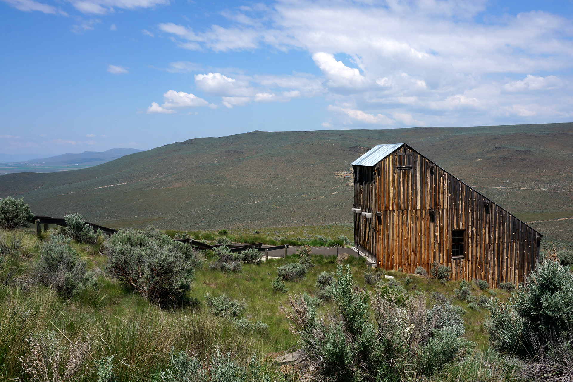
Week 48: Bryce Canyon National Park

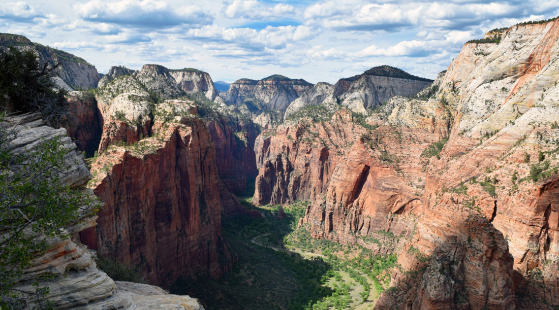
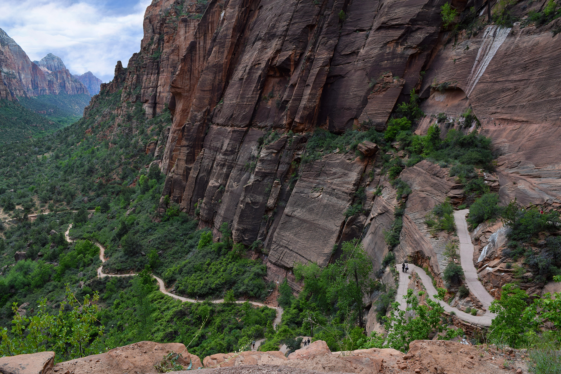
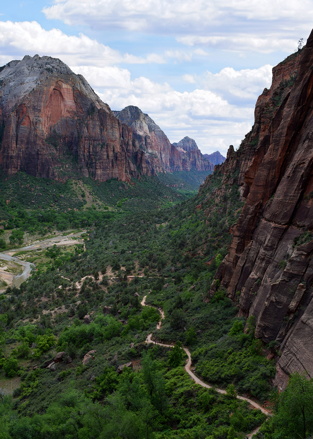
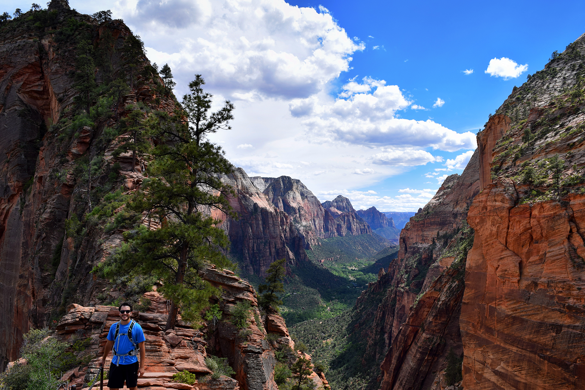
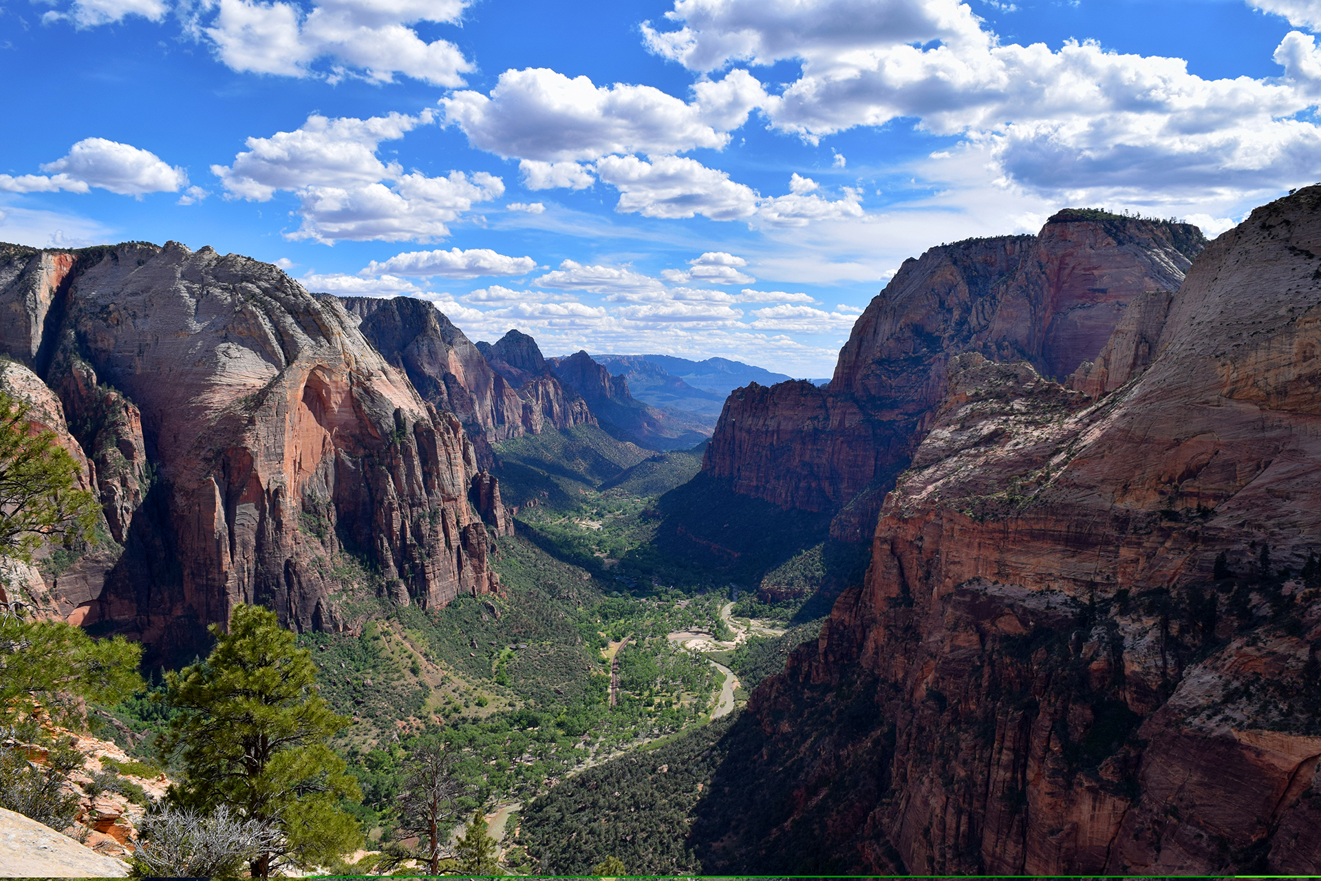
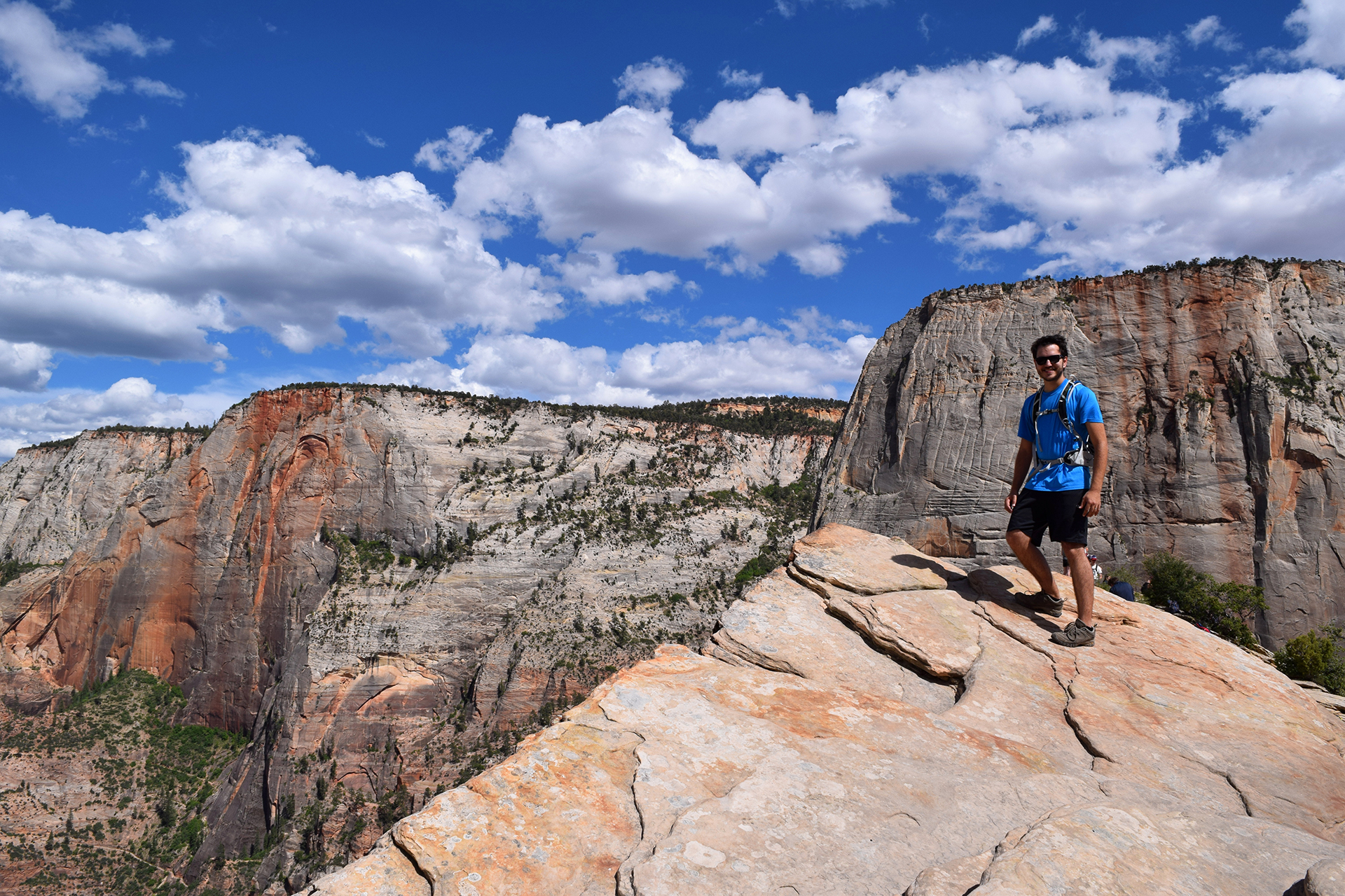
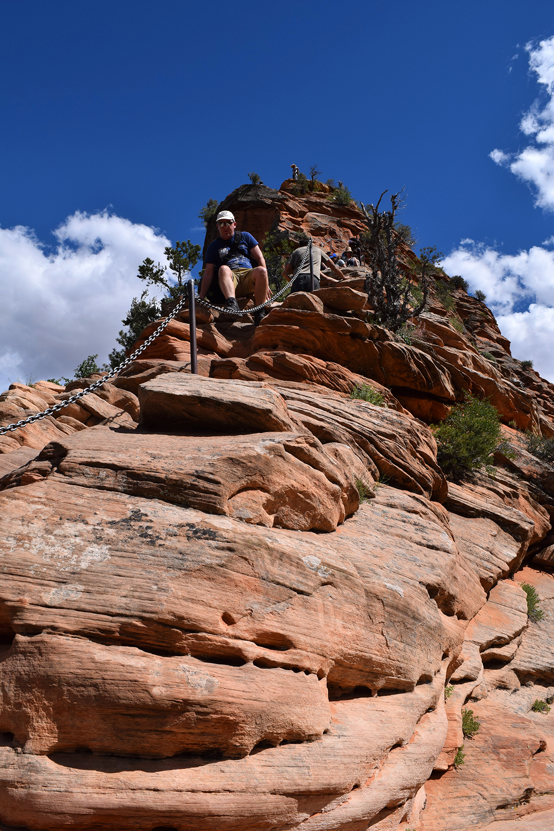
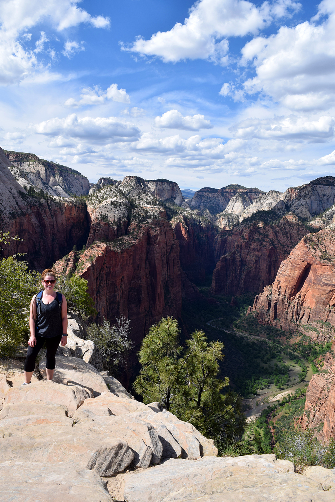
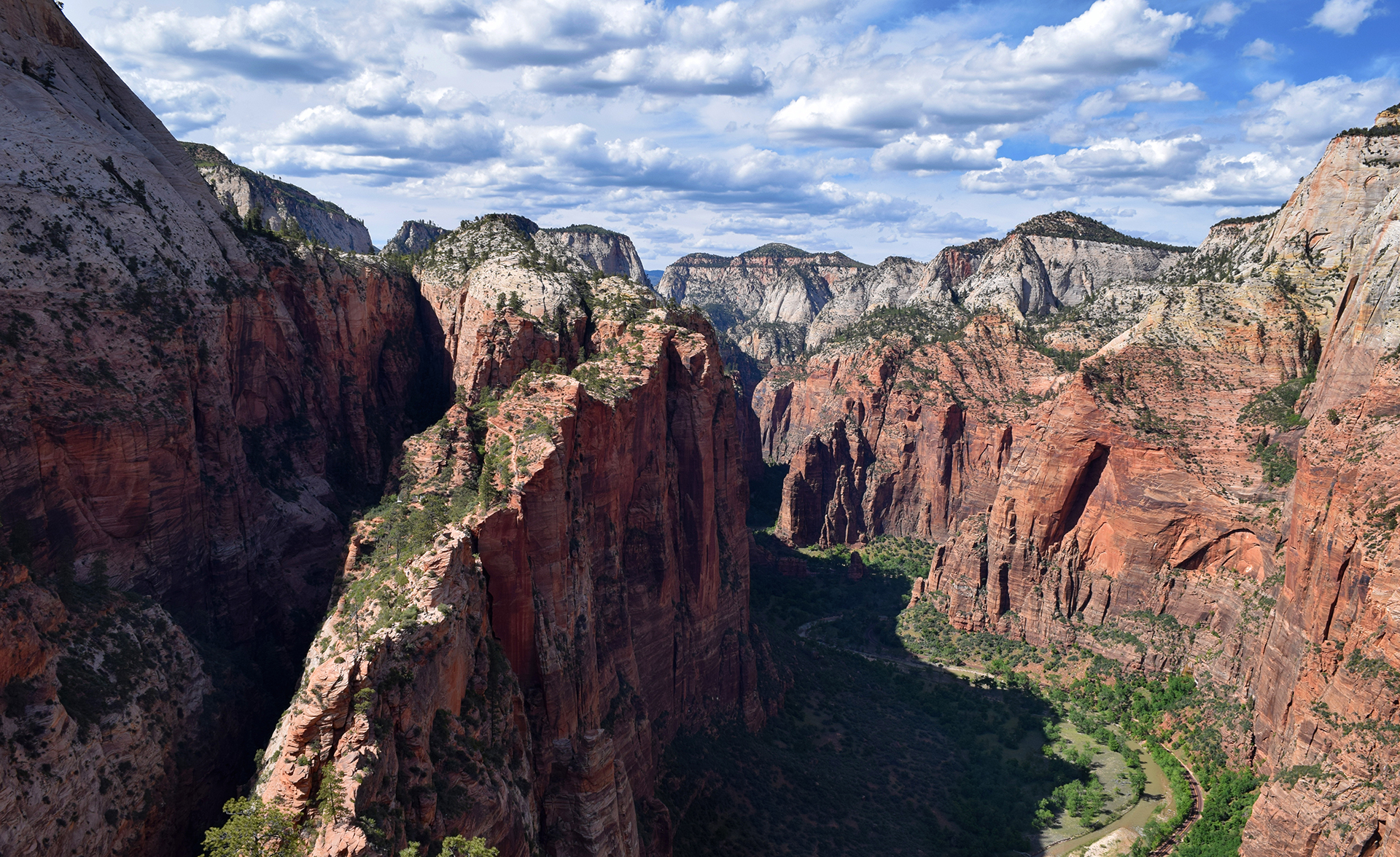
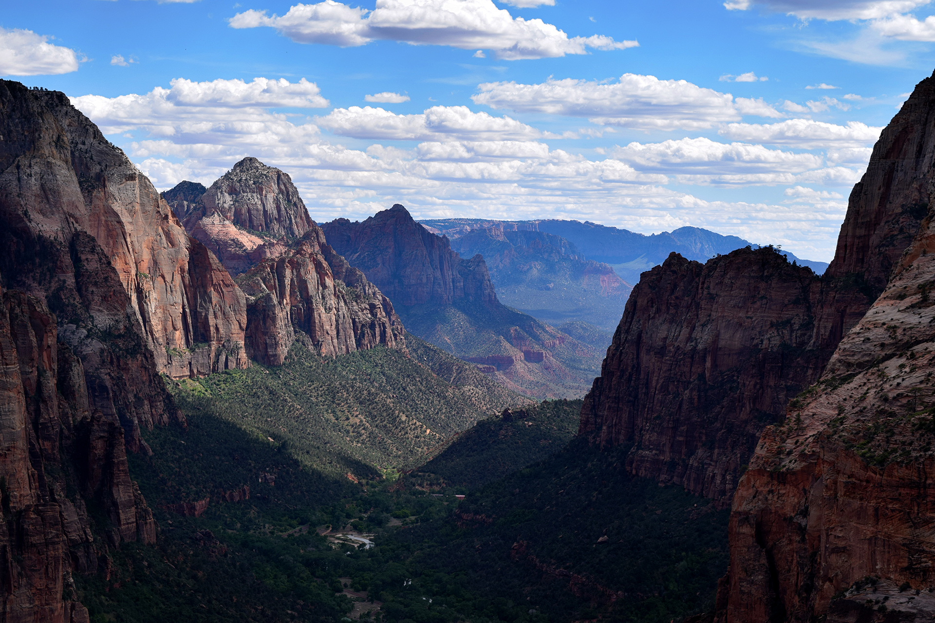
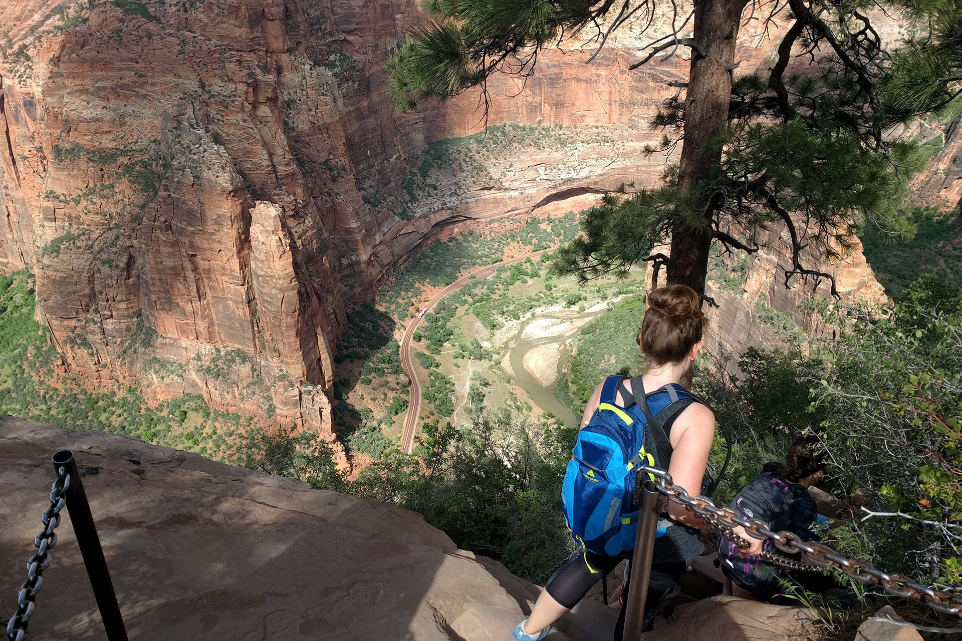
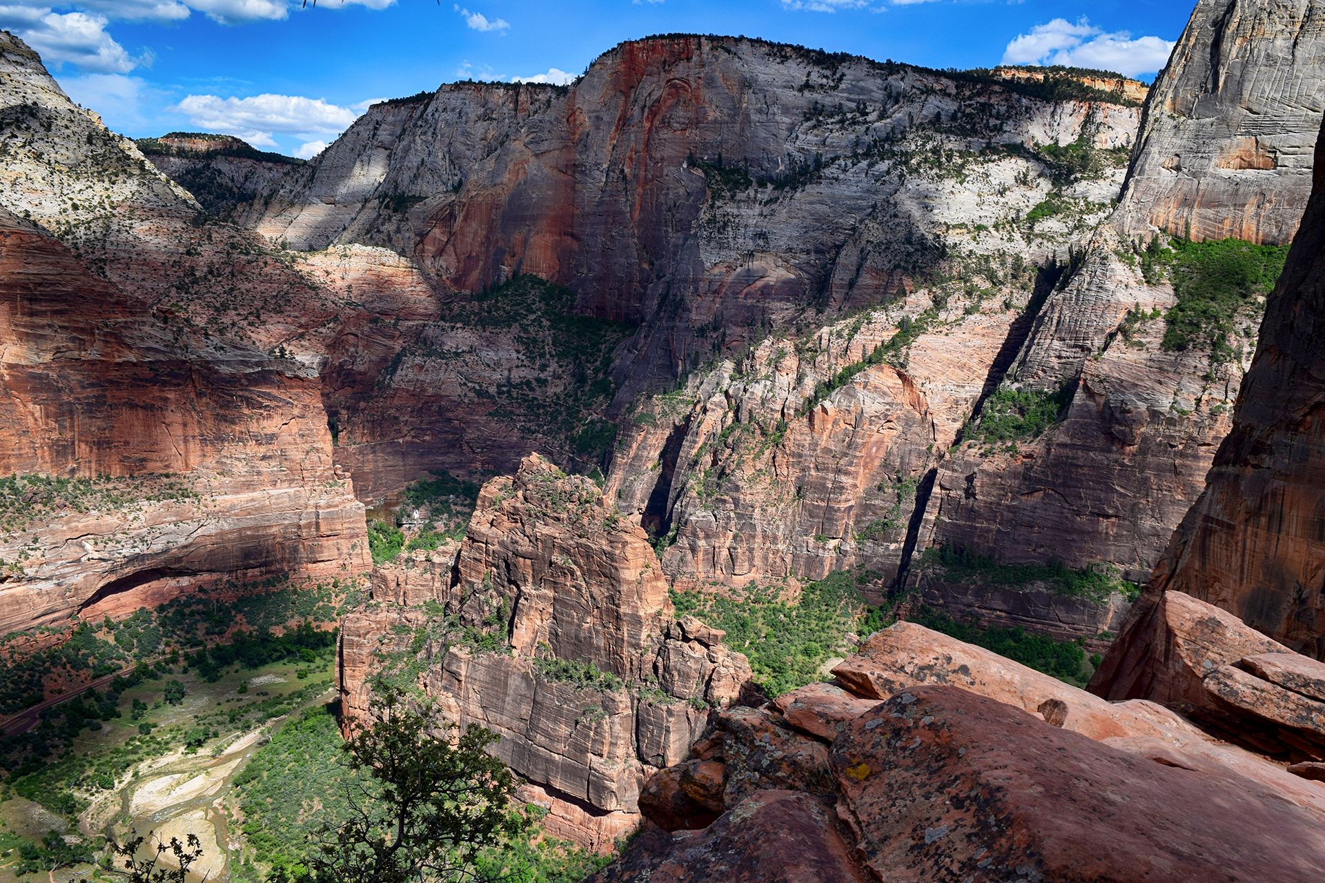
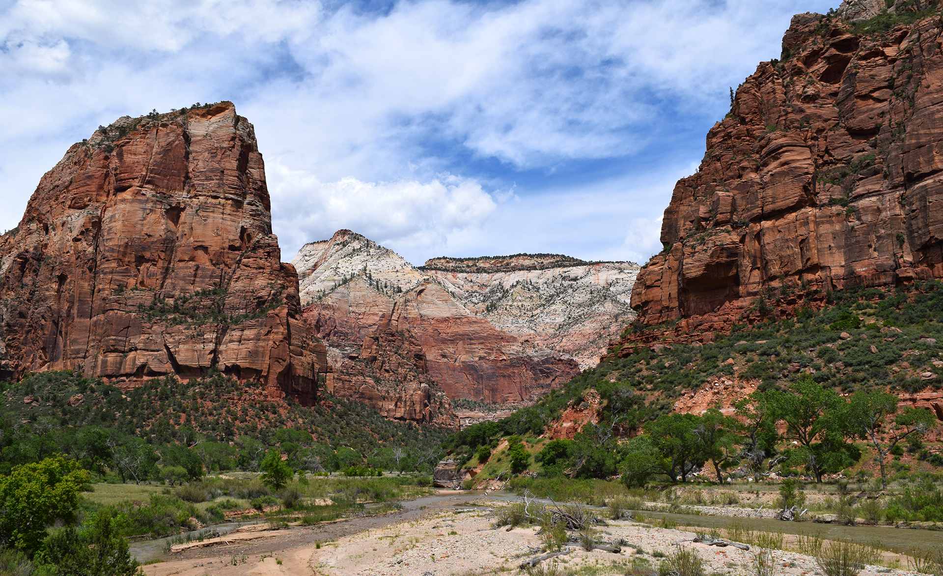
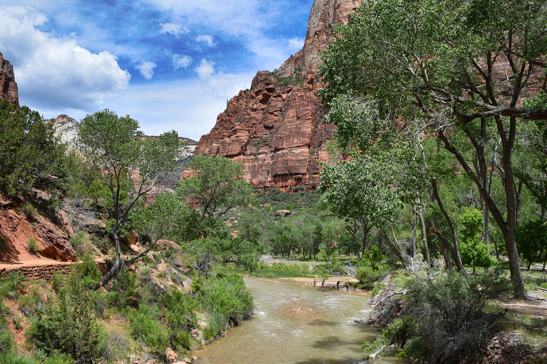
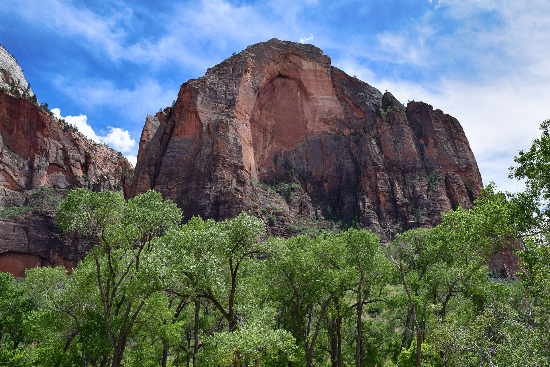
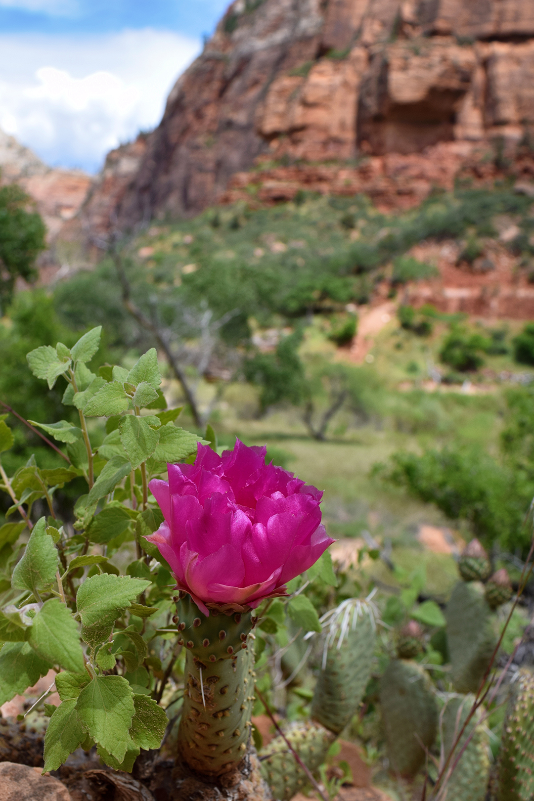
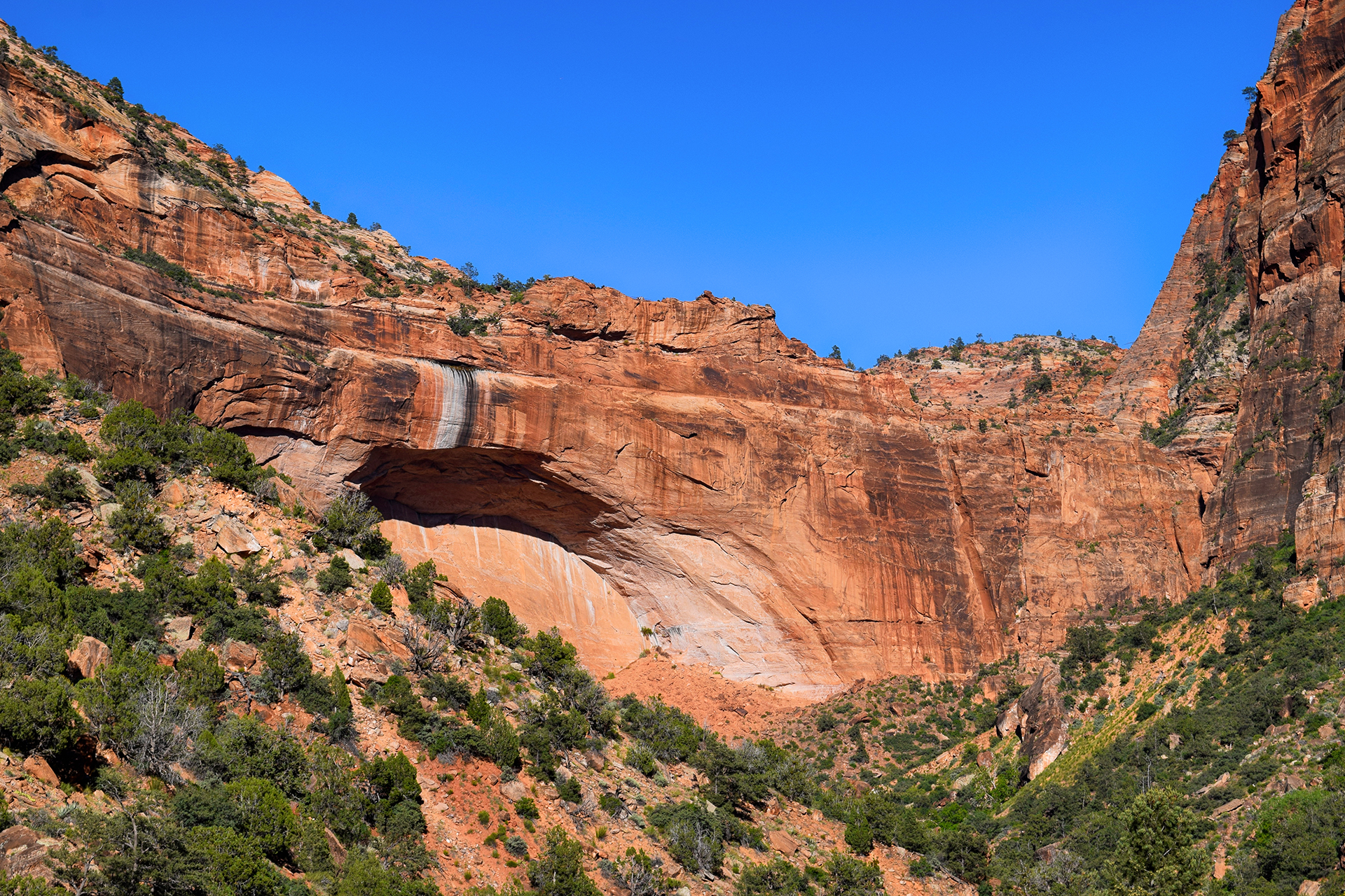
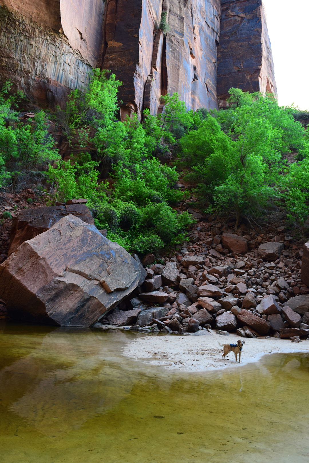
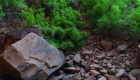
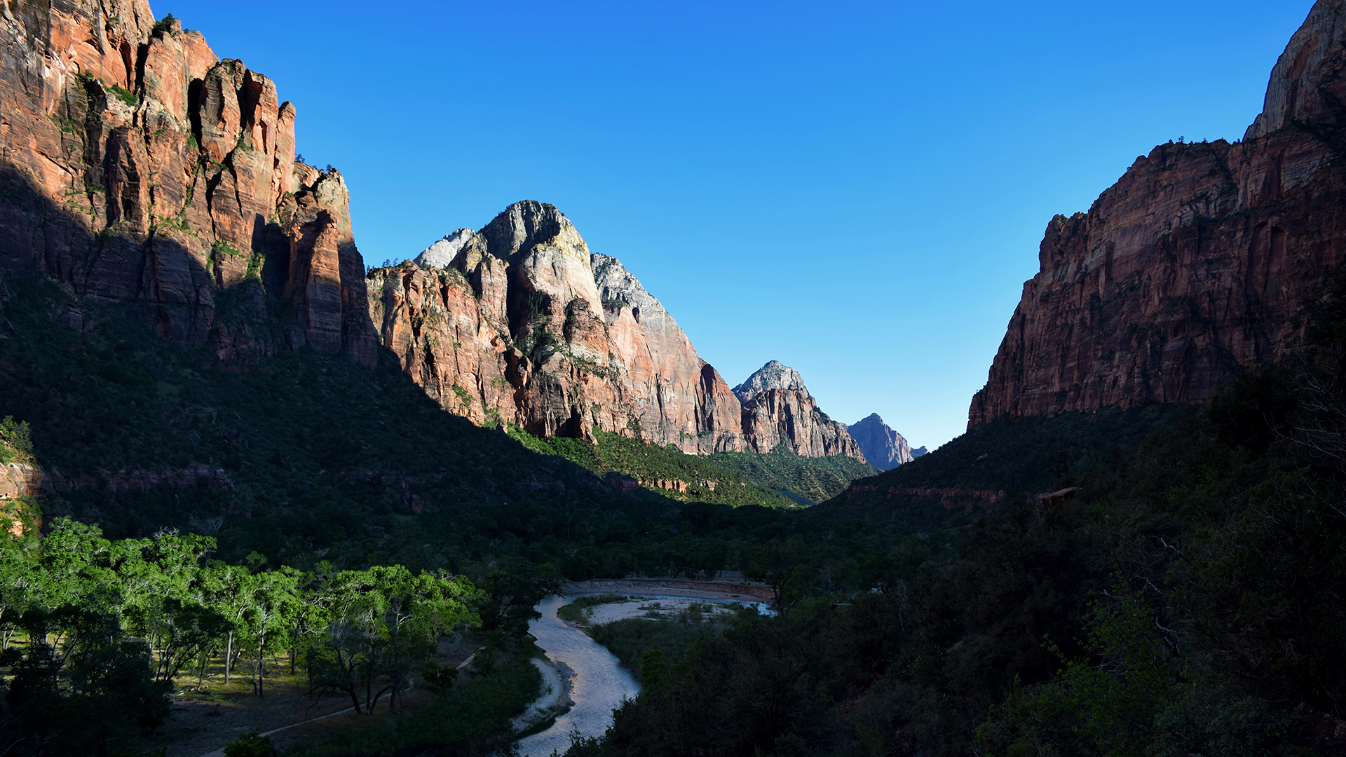
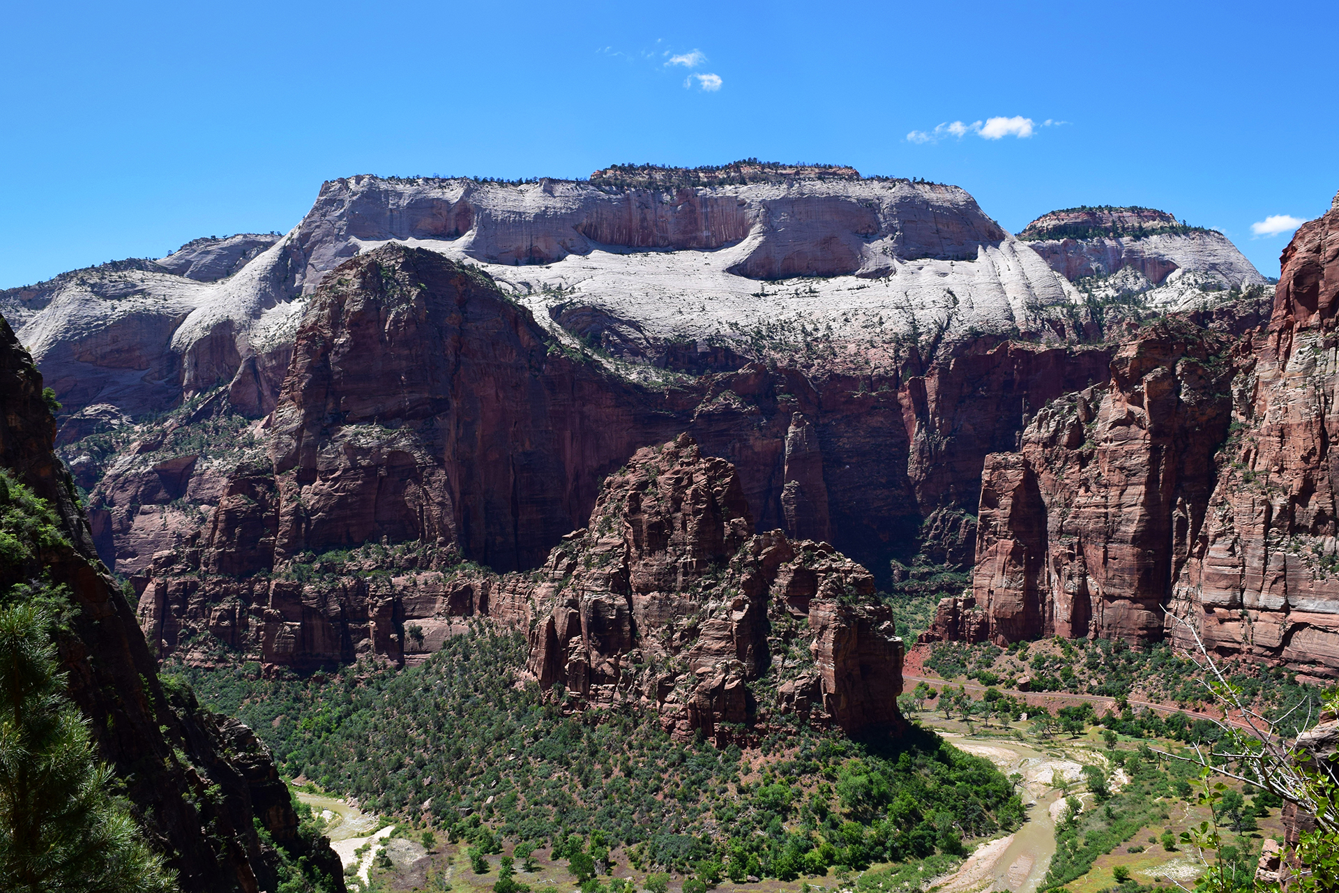
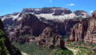
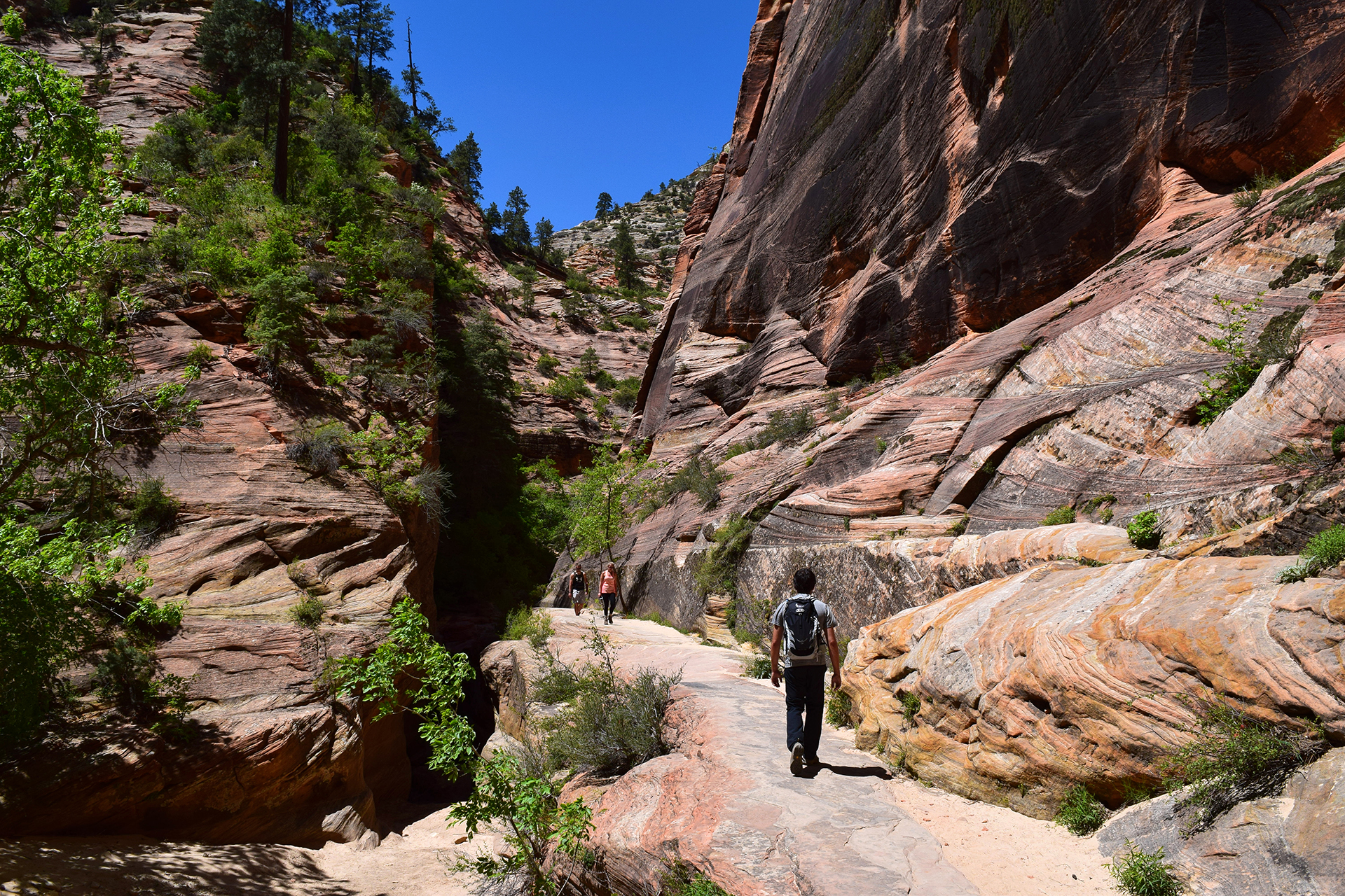
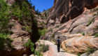
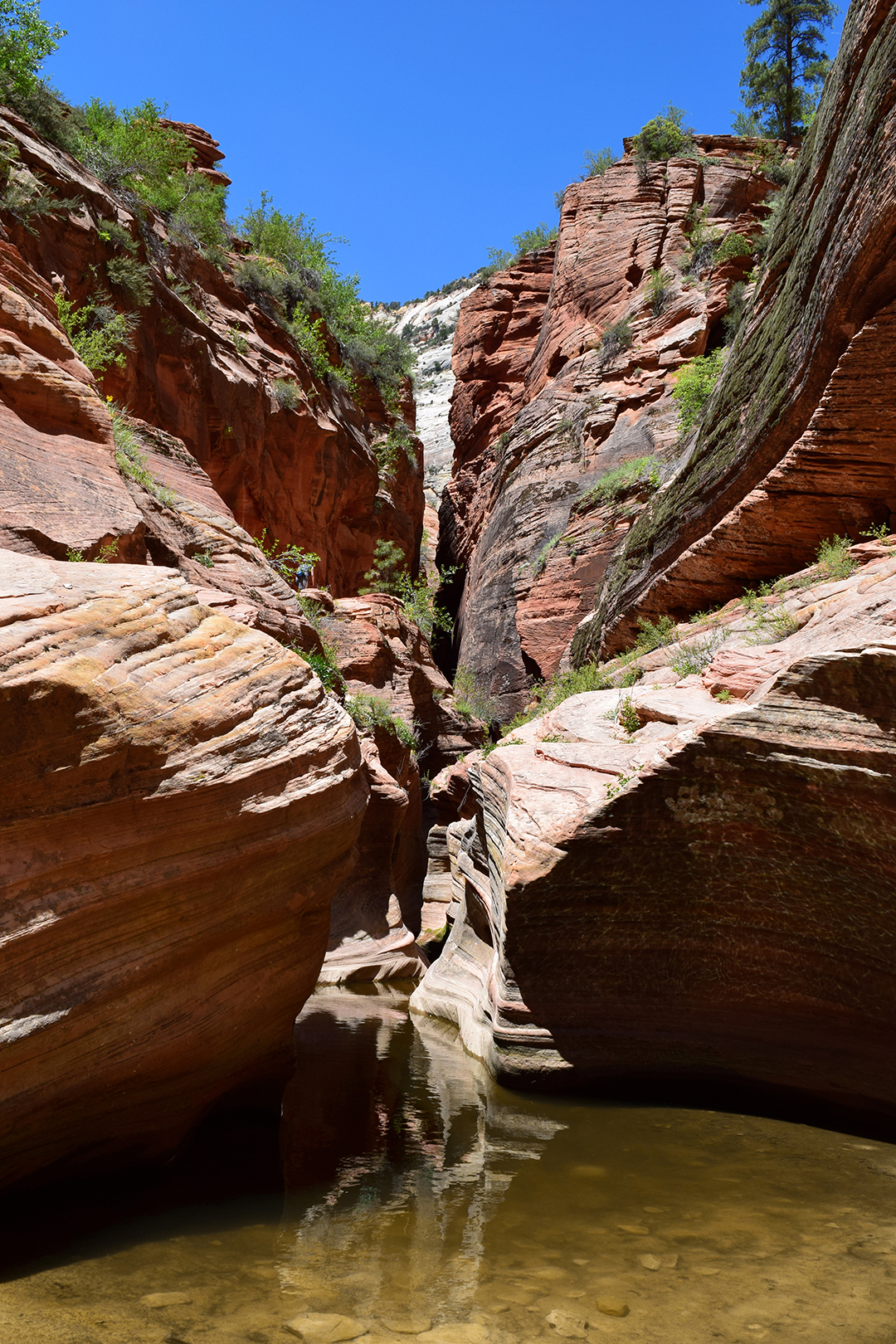
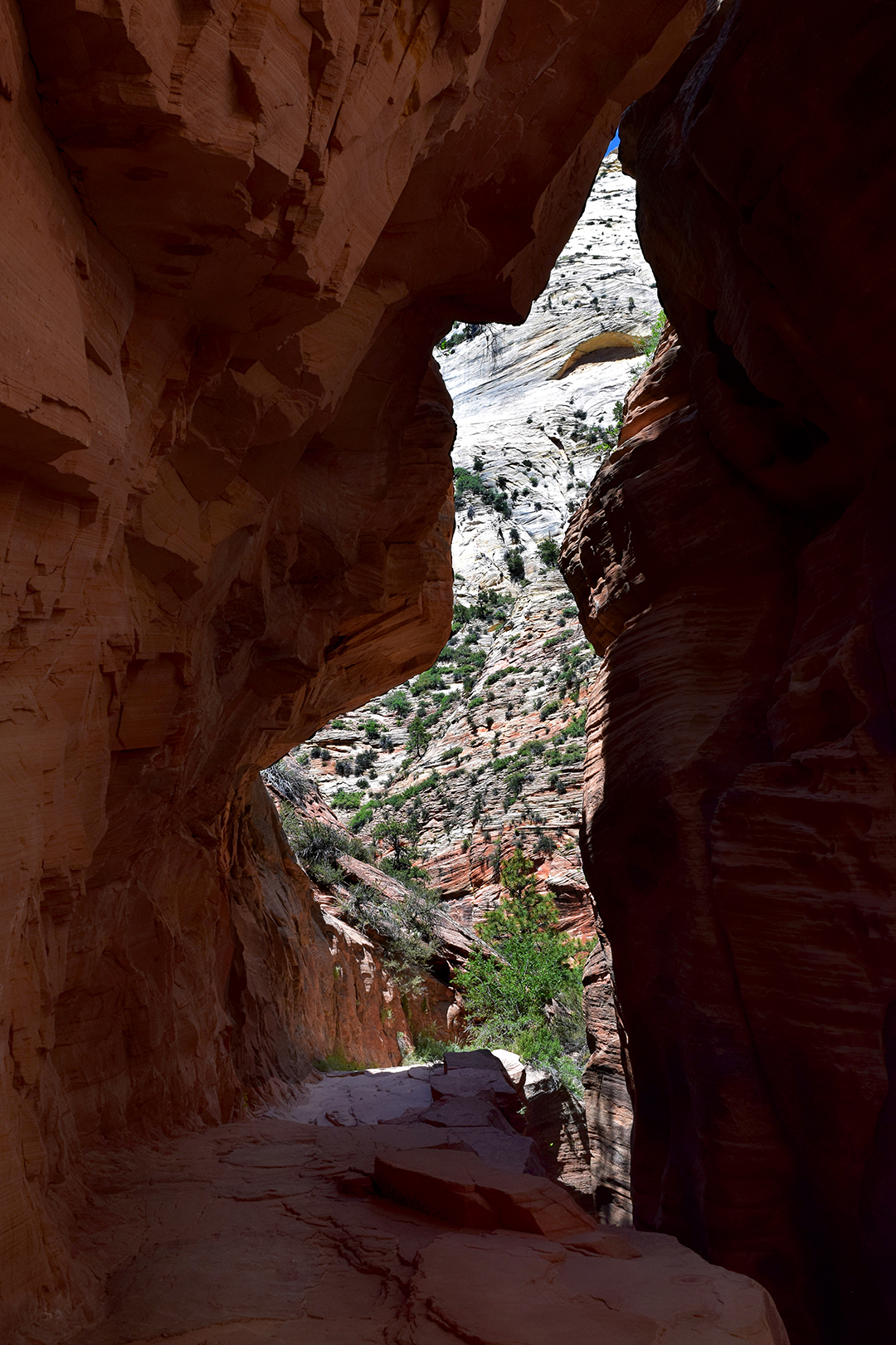
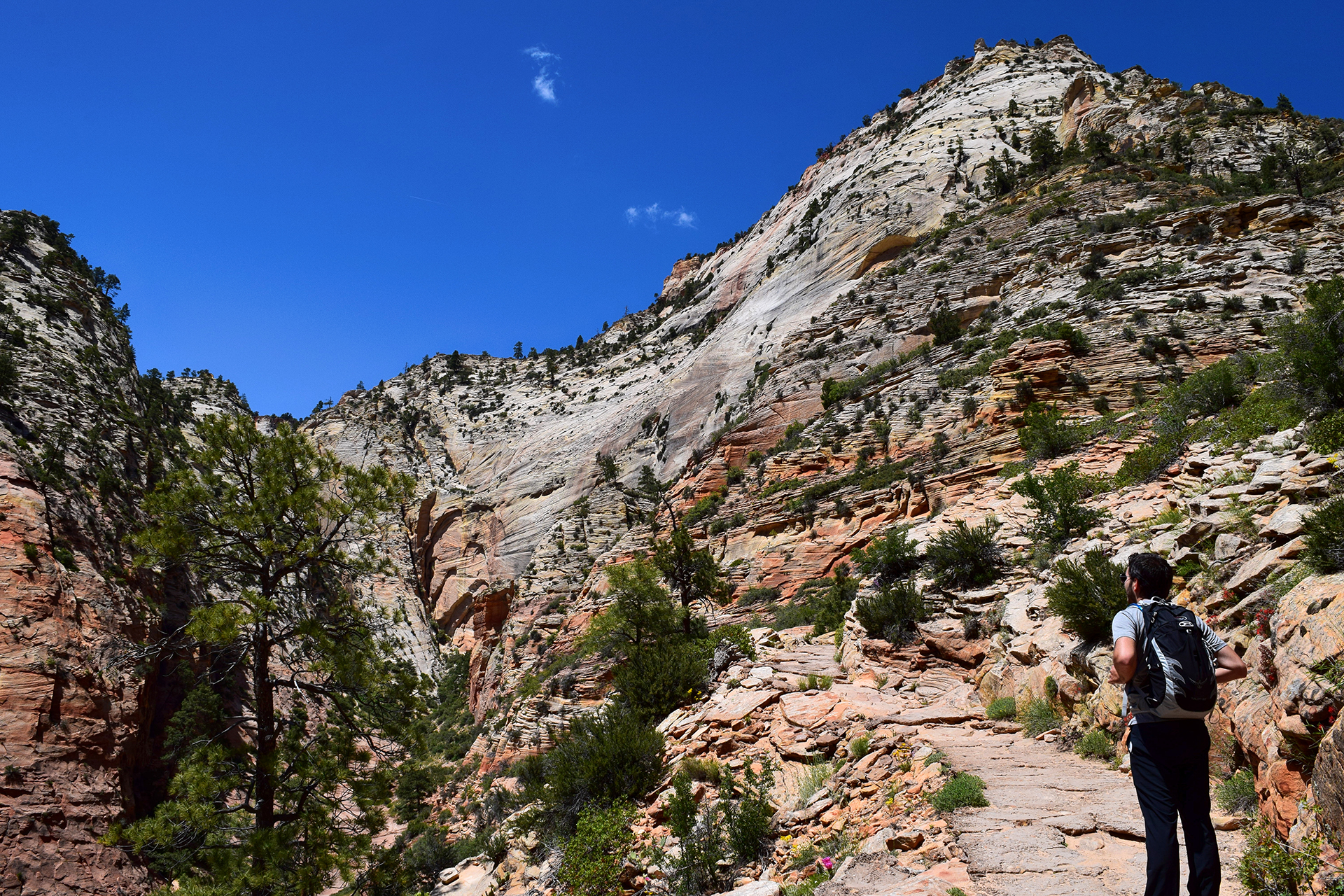
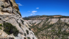
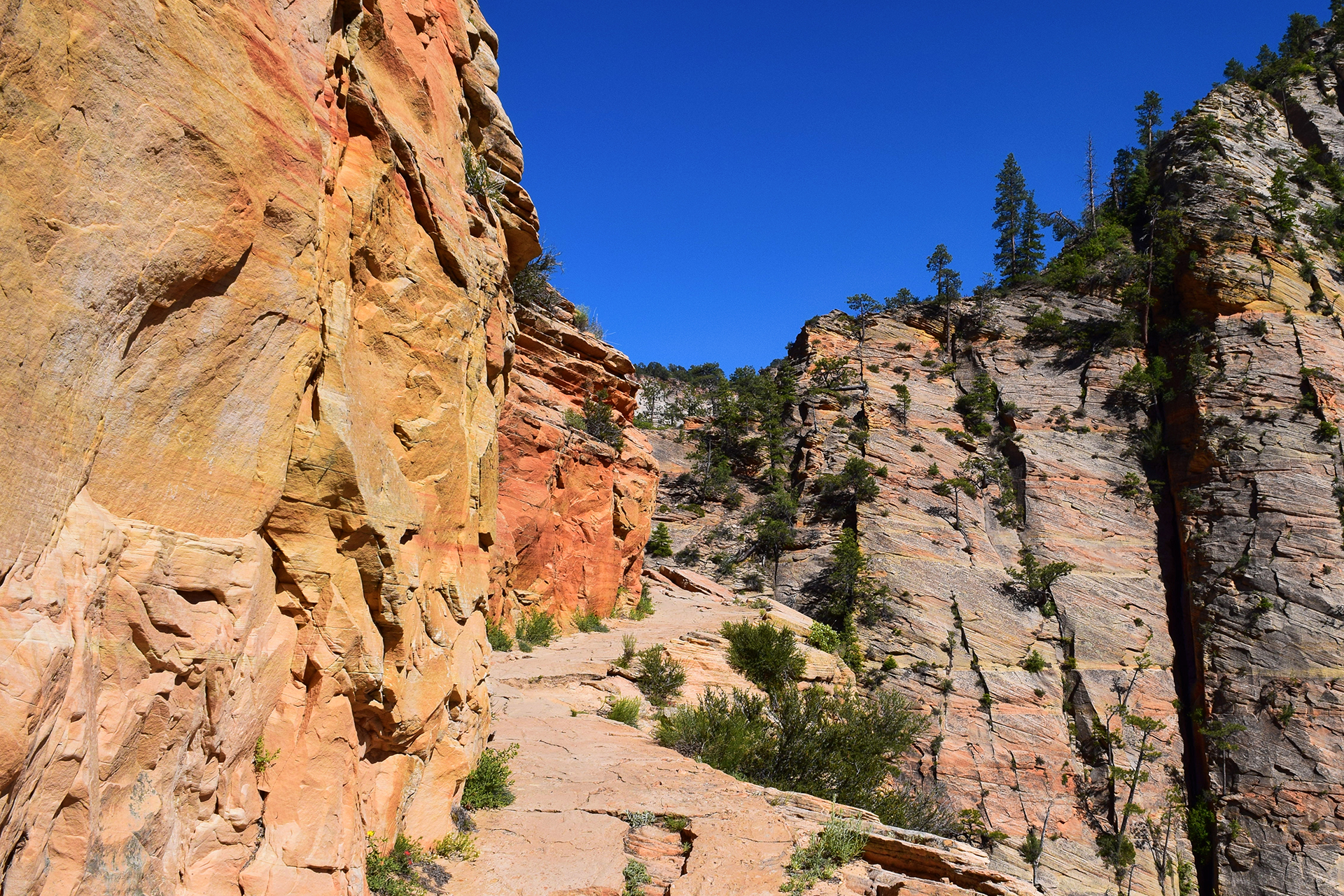
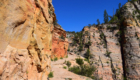
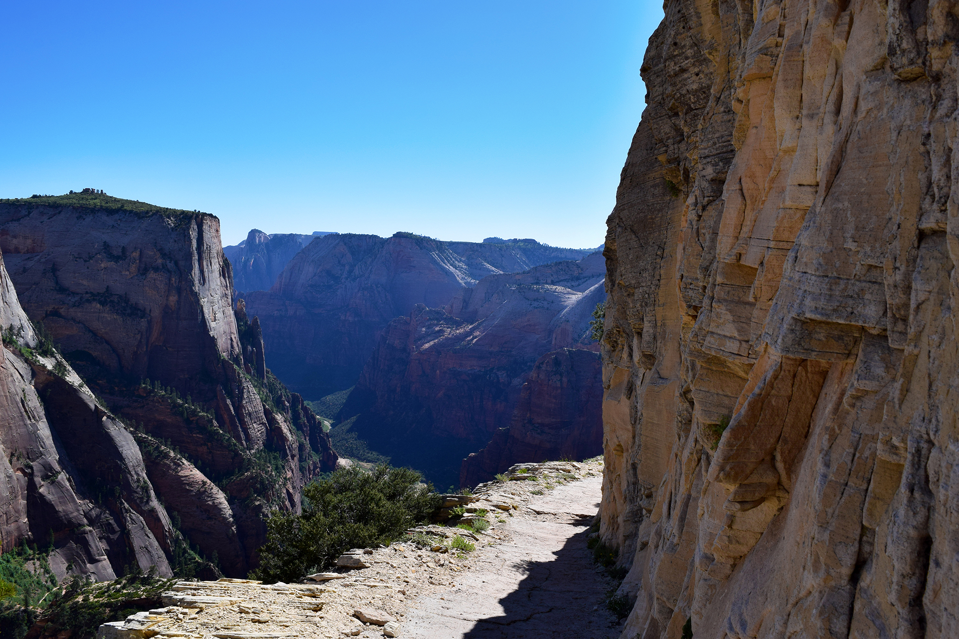
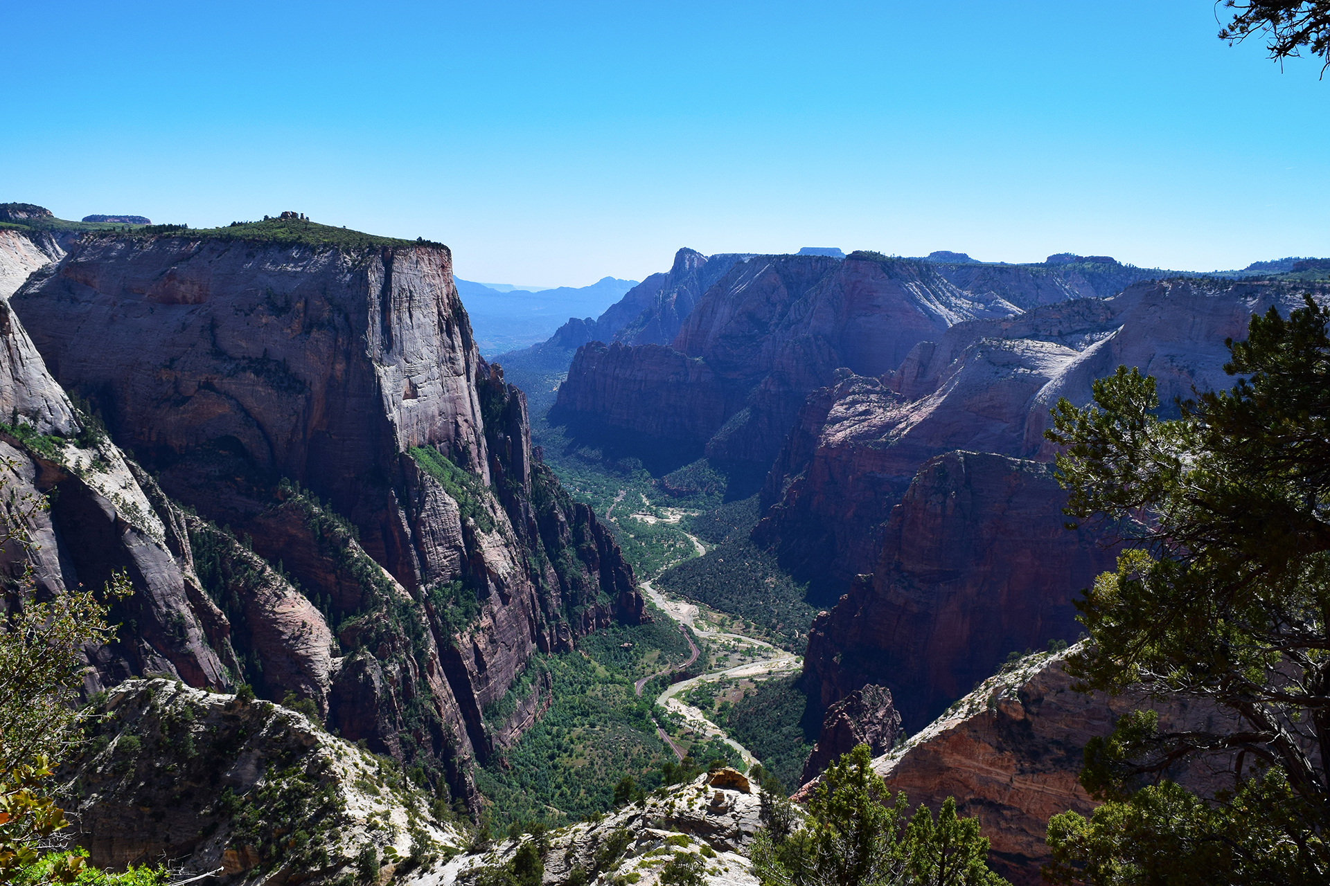
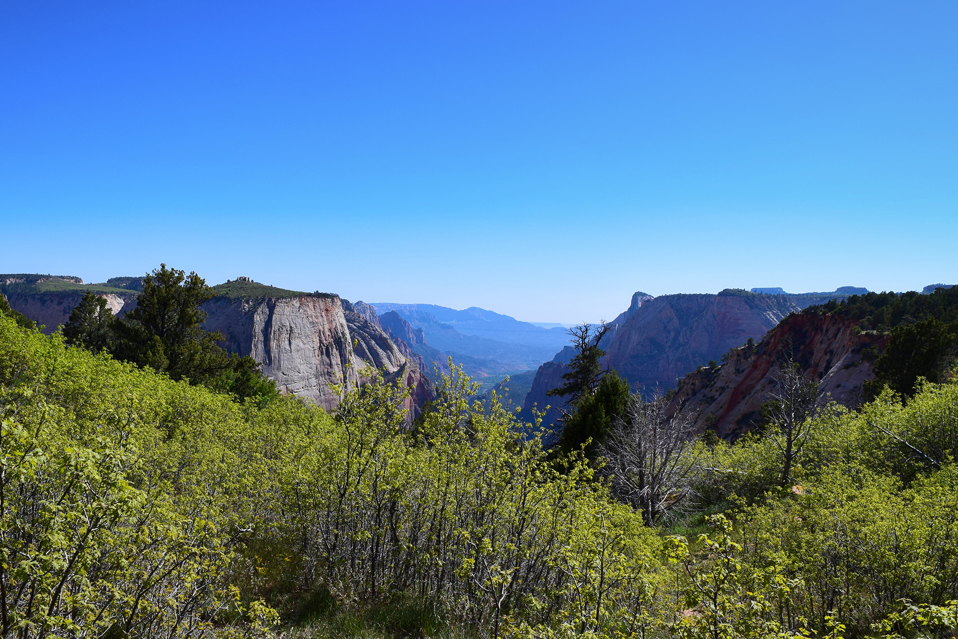
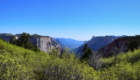
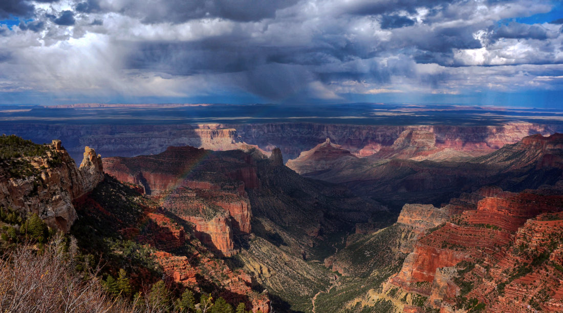
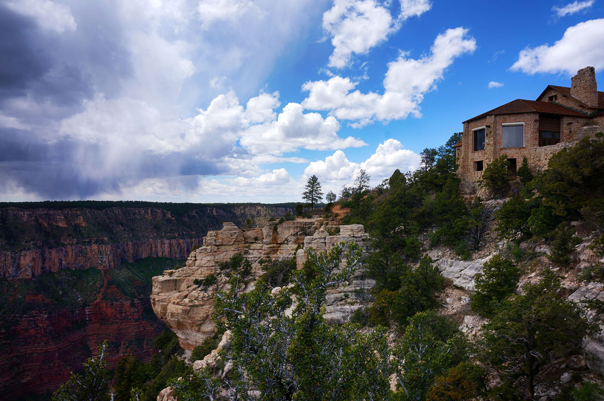
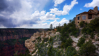
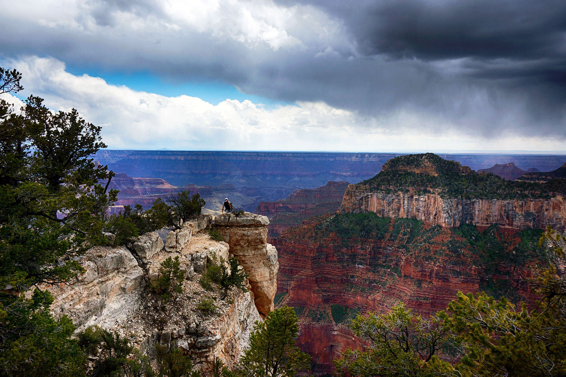
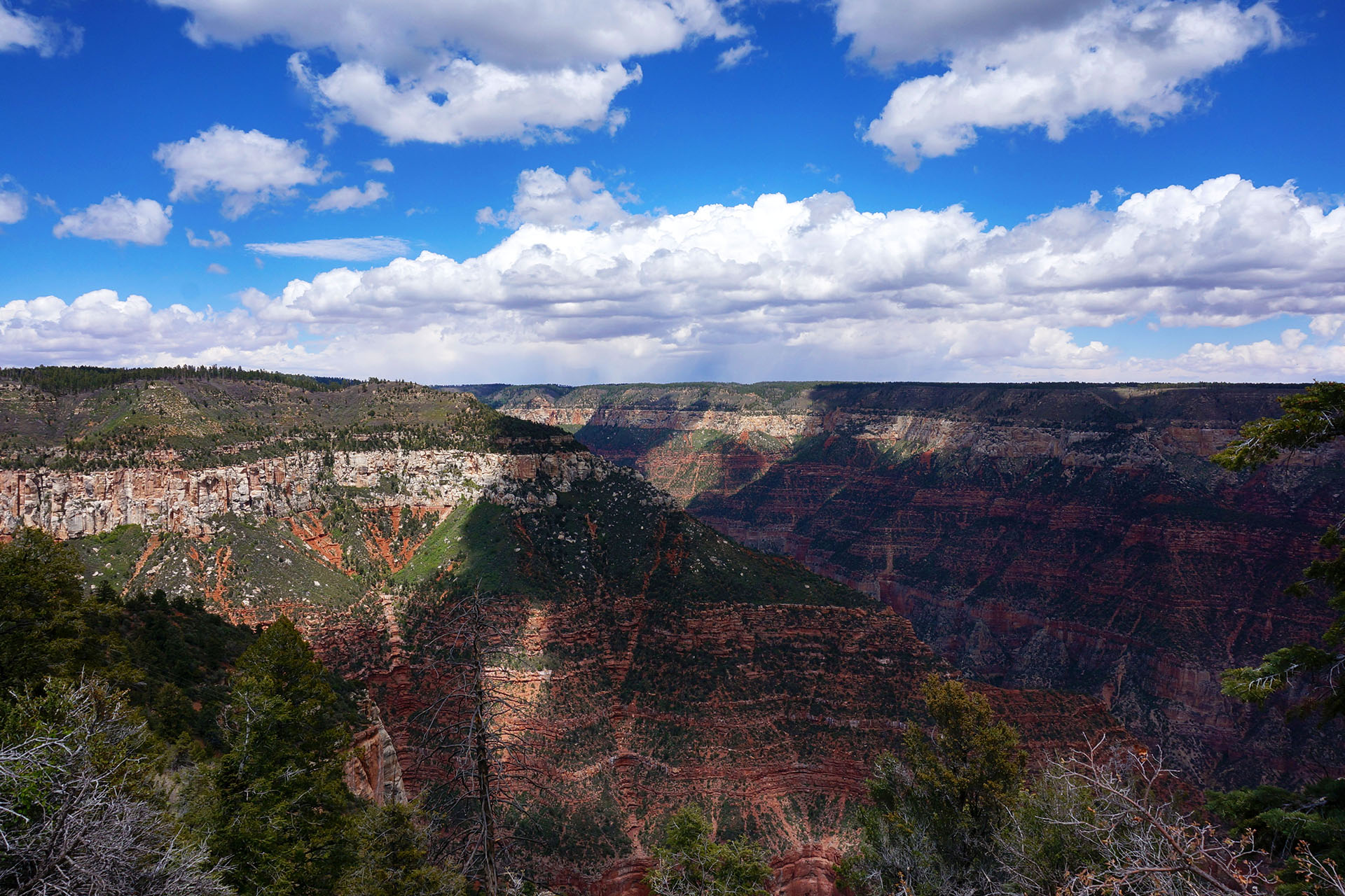
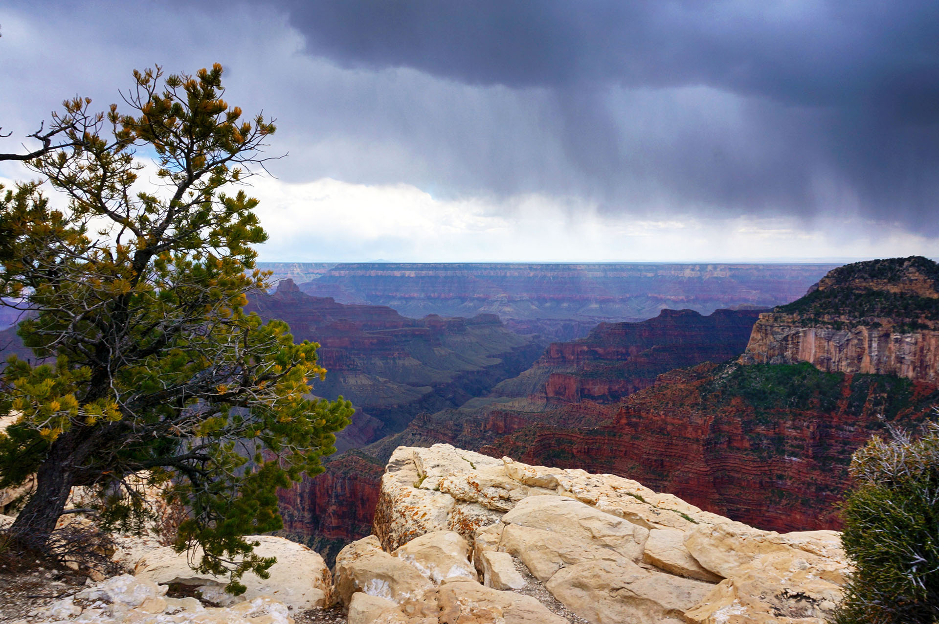
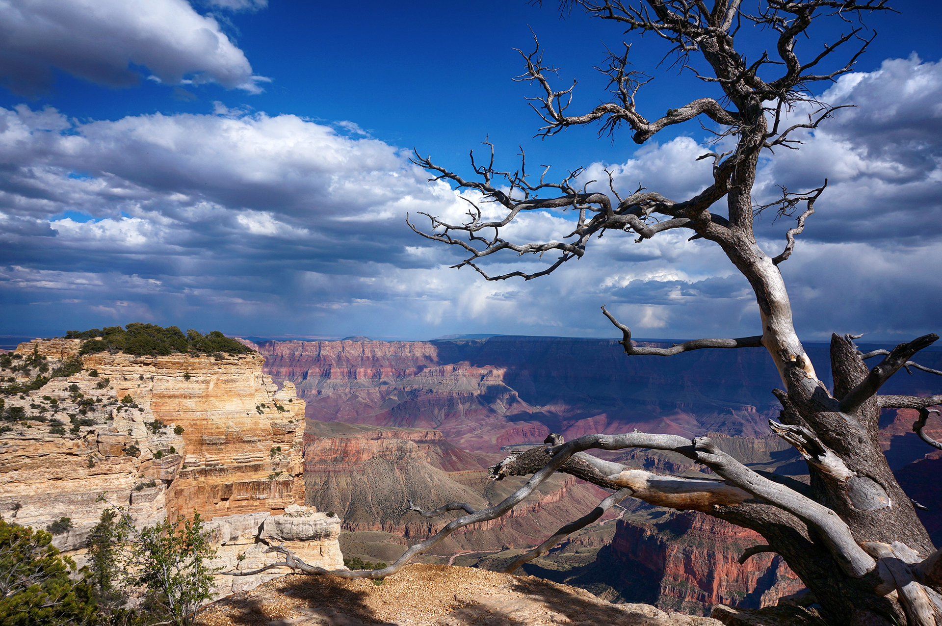
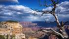
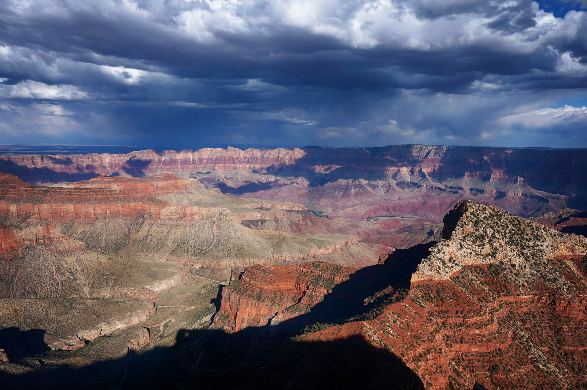
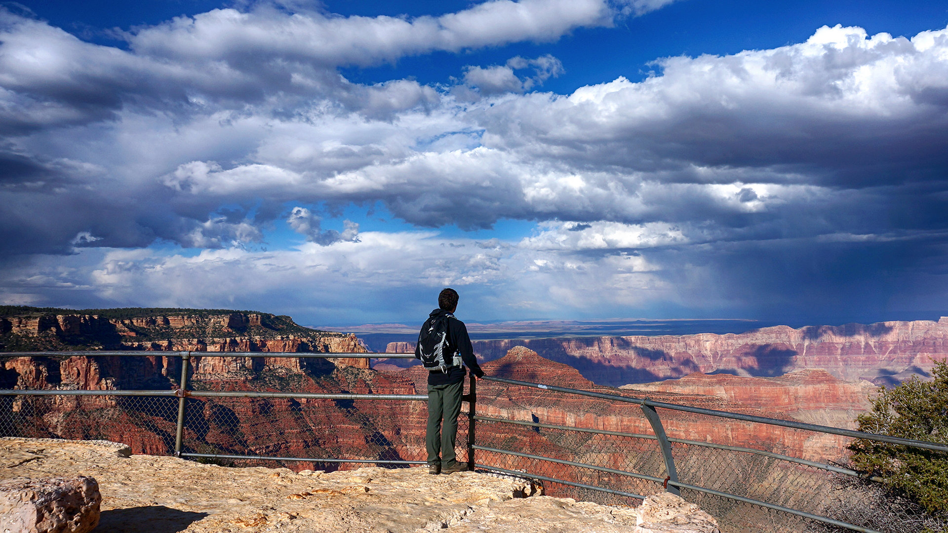
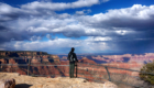
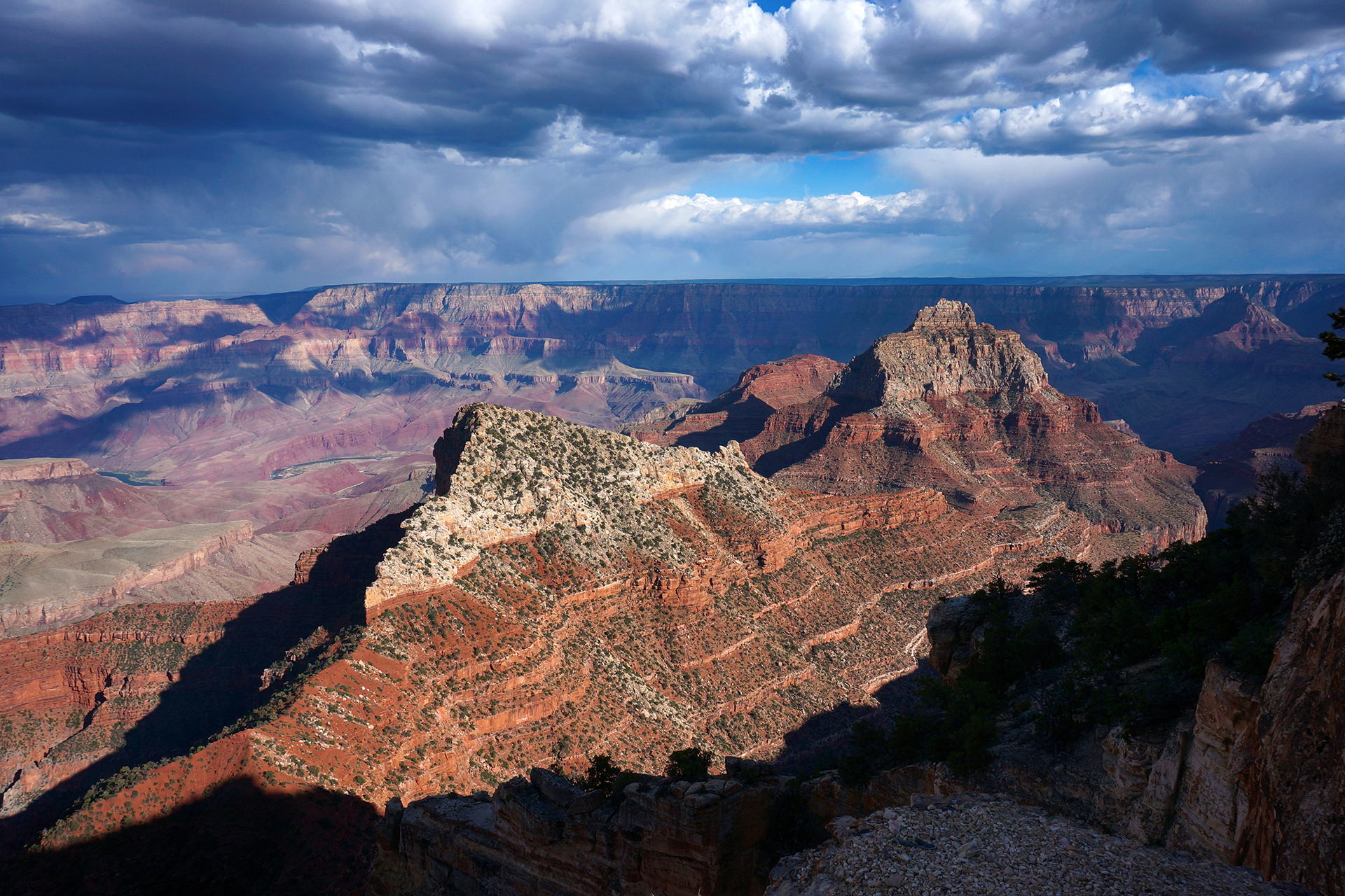
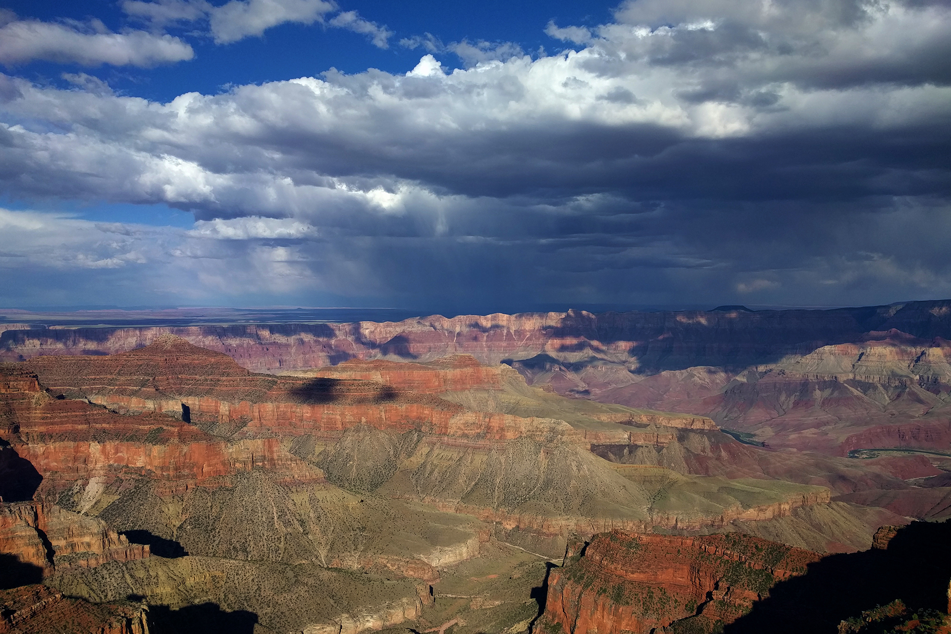
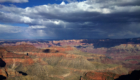
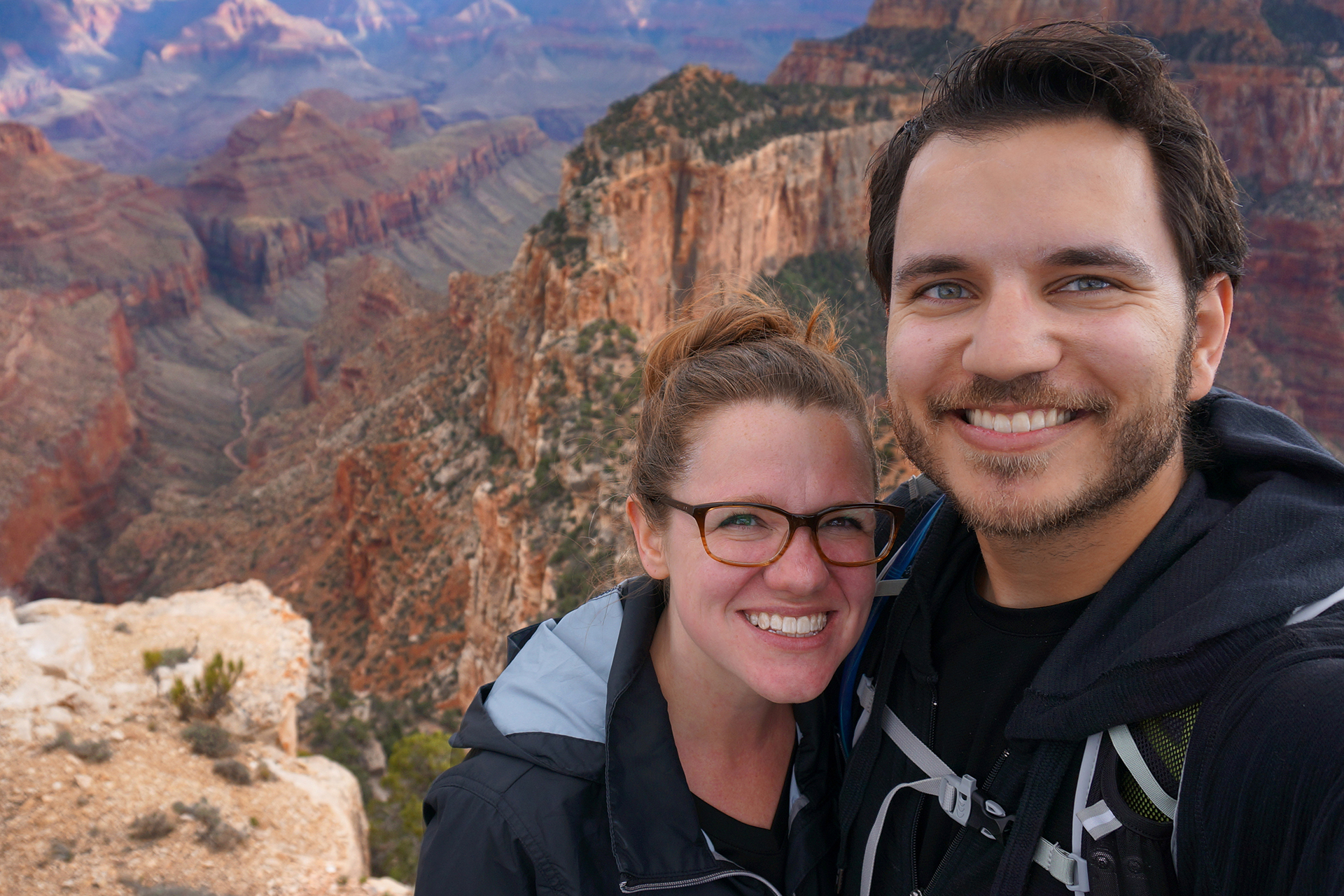
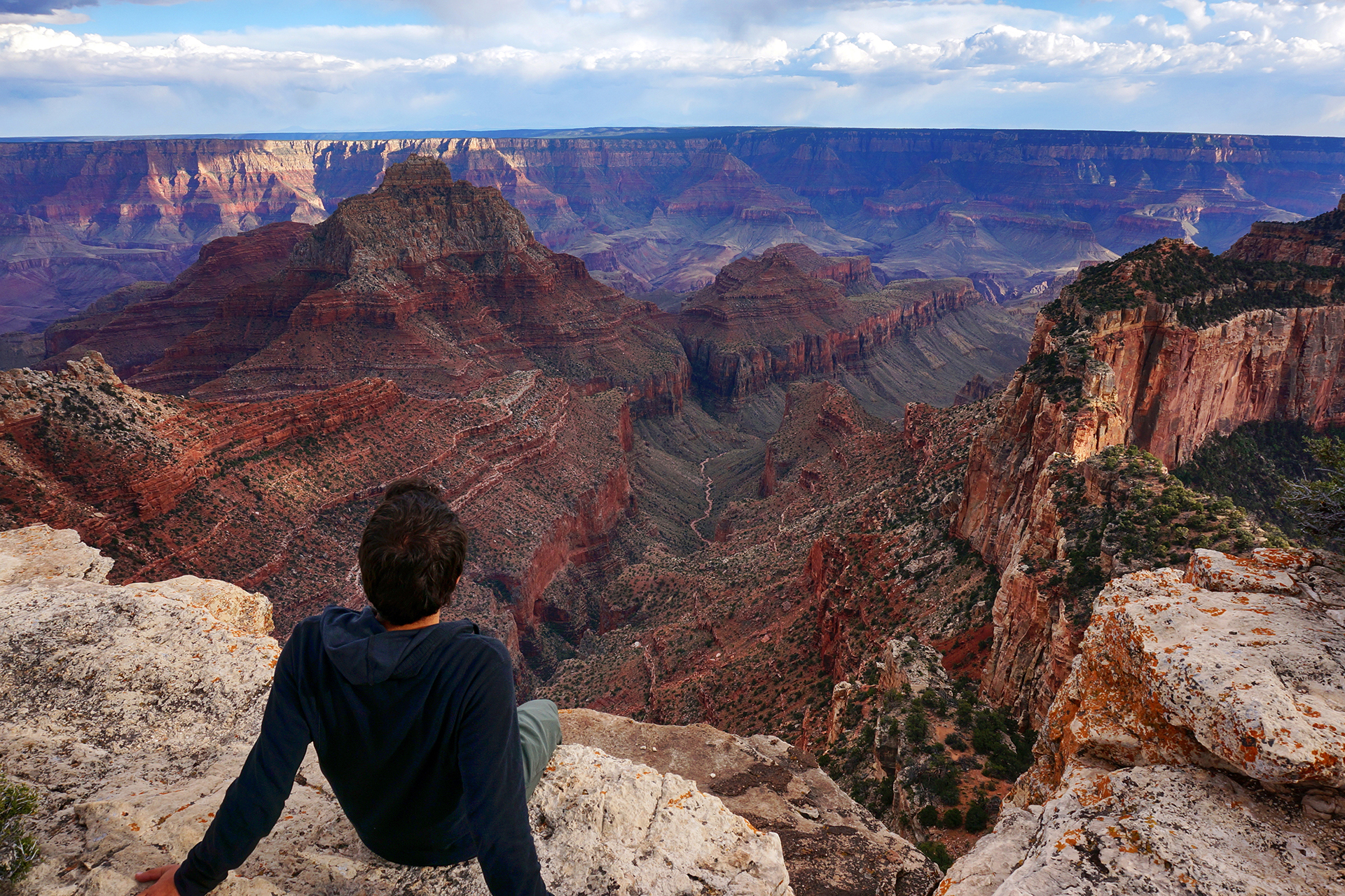
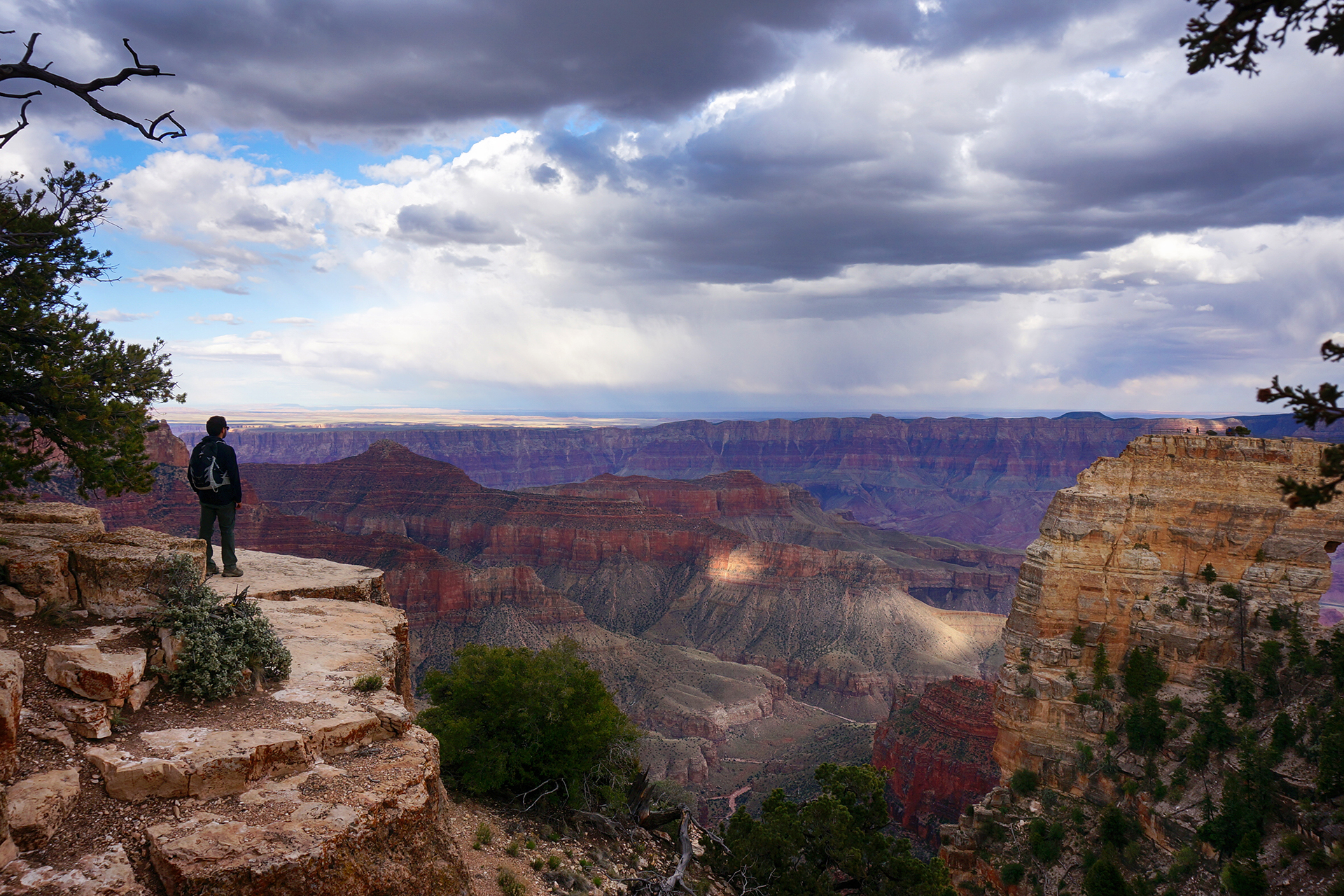
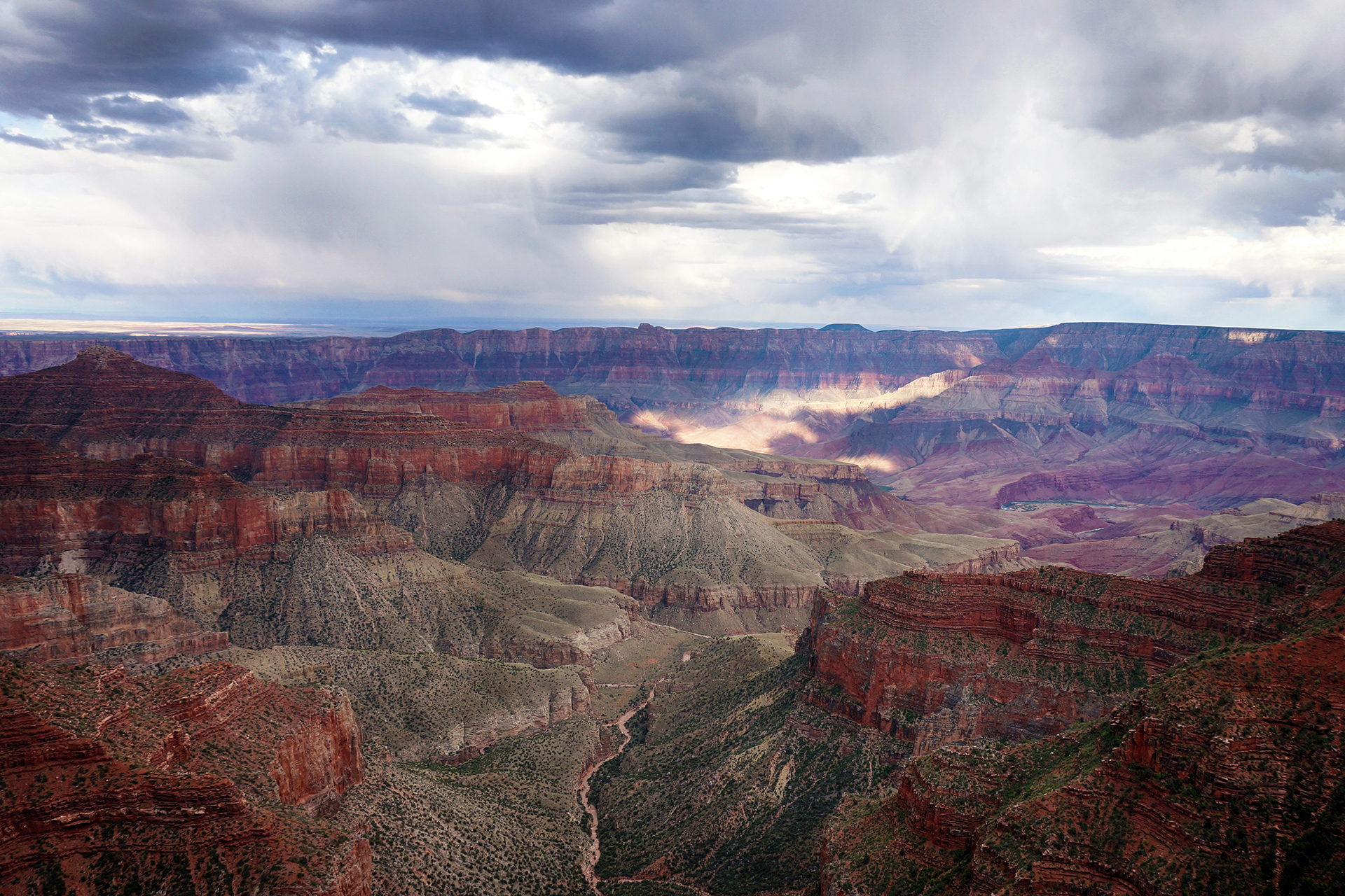
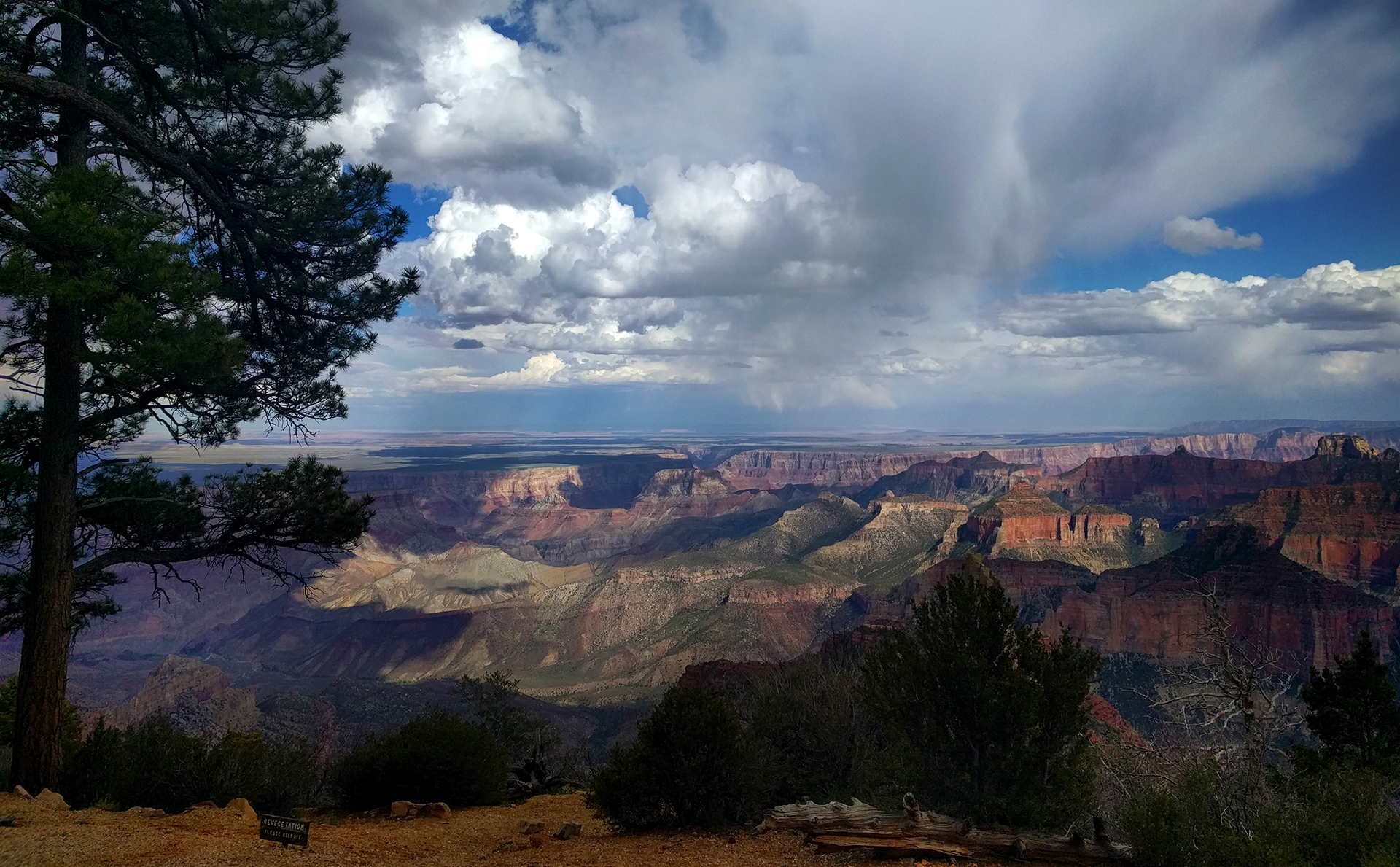
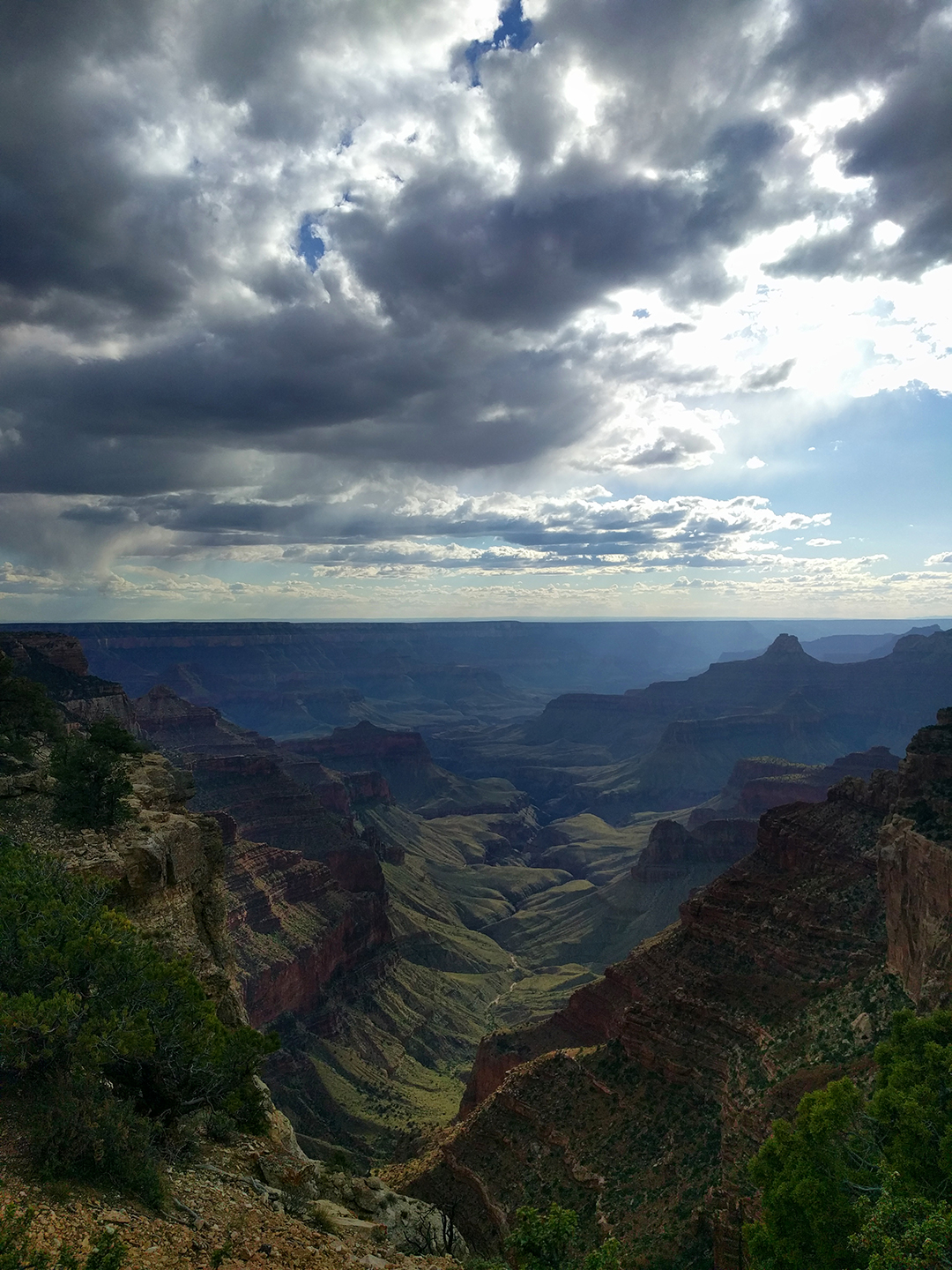
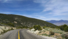
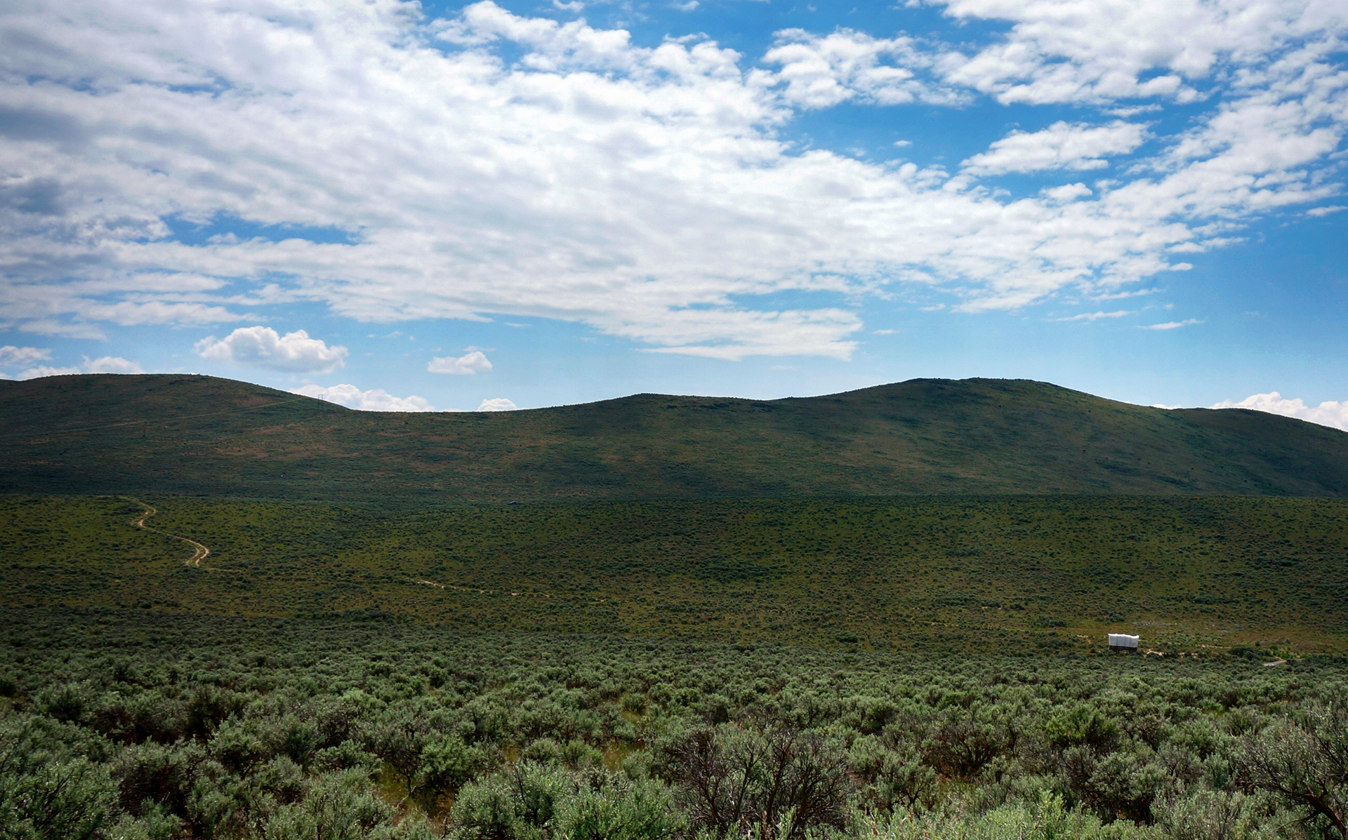
We stayed for a while (for us) in Kanab, Utah – visiting the Grand Canyon and Zion National Park – but eventually, it was time to move on.  Our next destination was Bryce Canyon National Park.  It was only about 80 miles away, but it felt like another world.
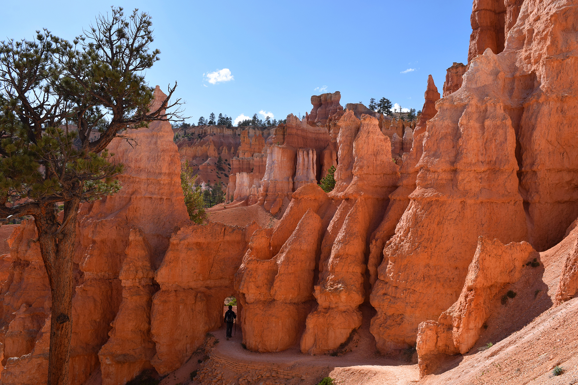
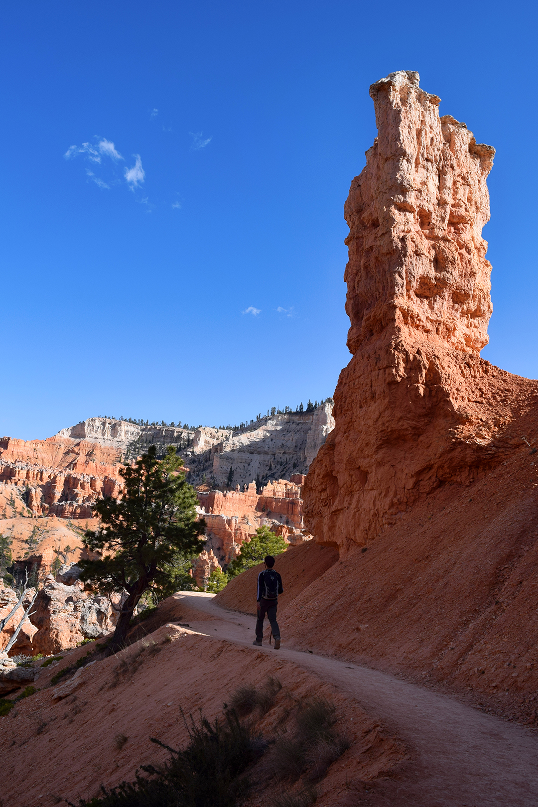
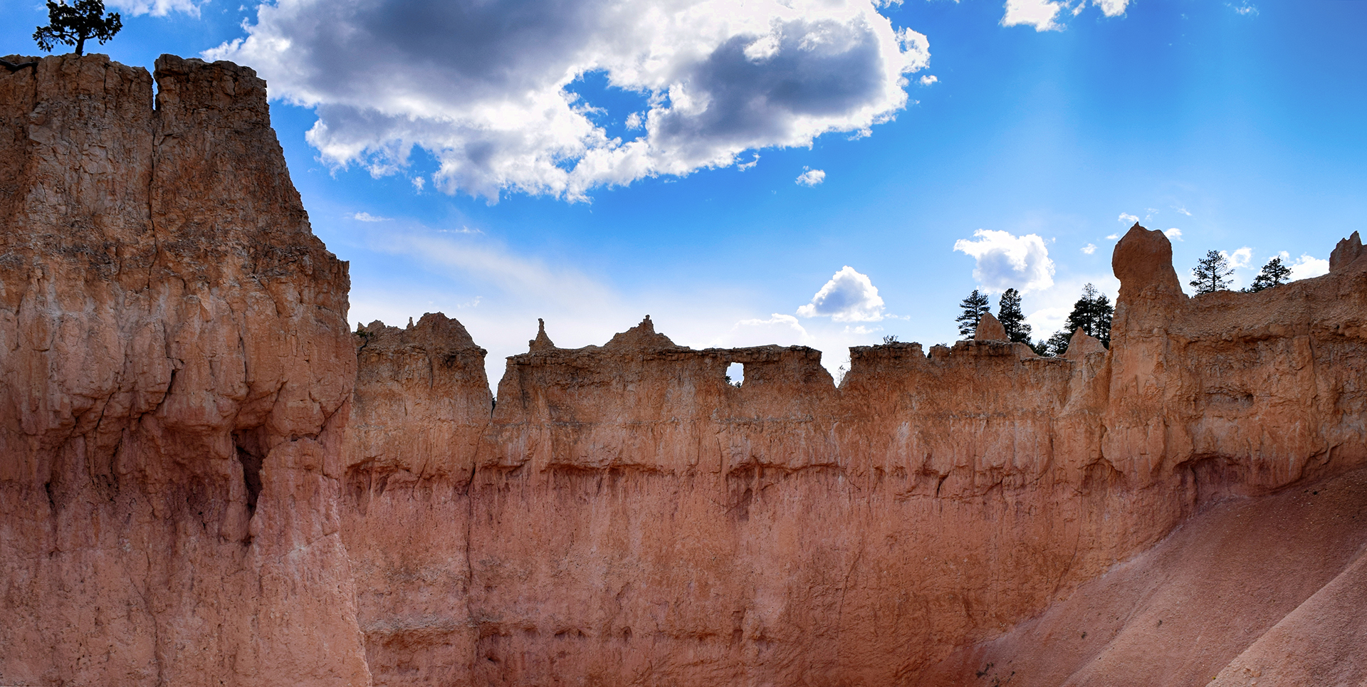
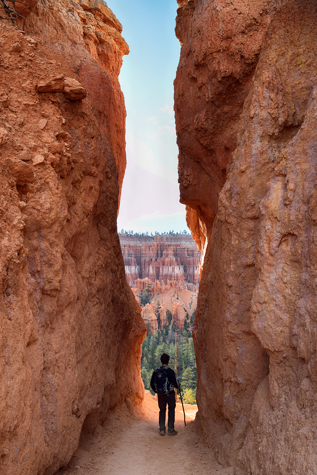
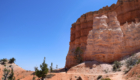
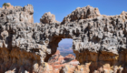
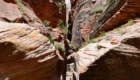
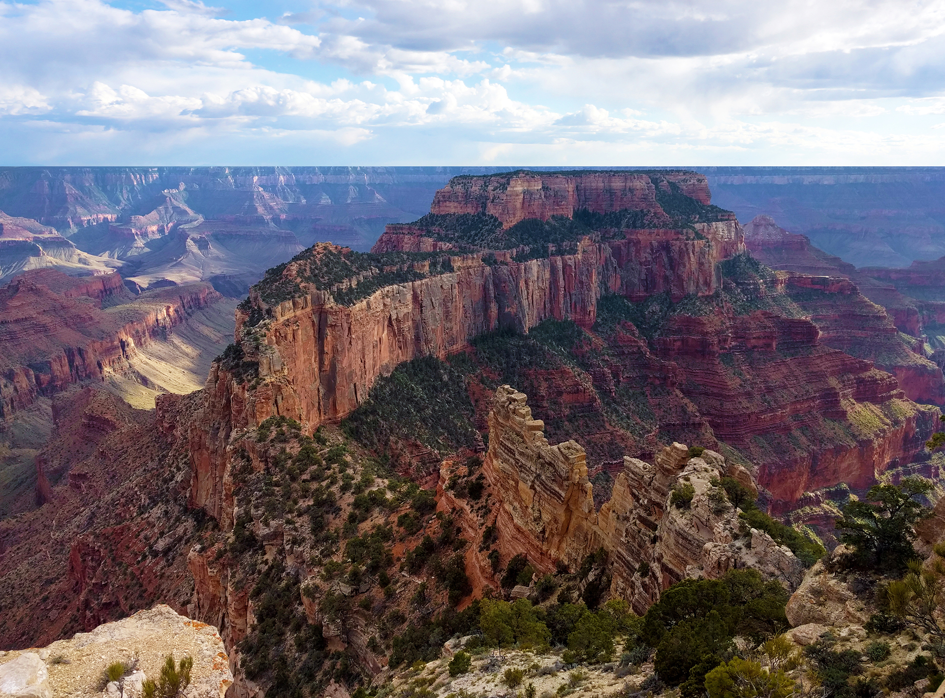
Hold the Door

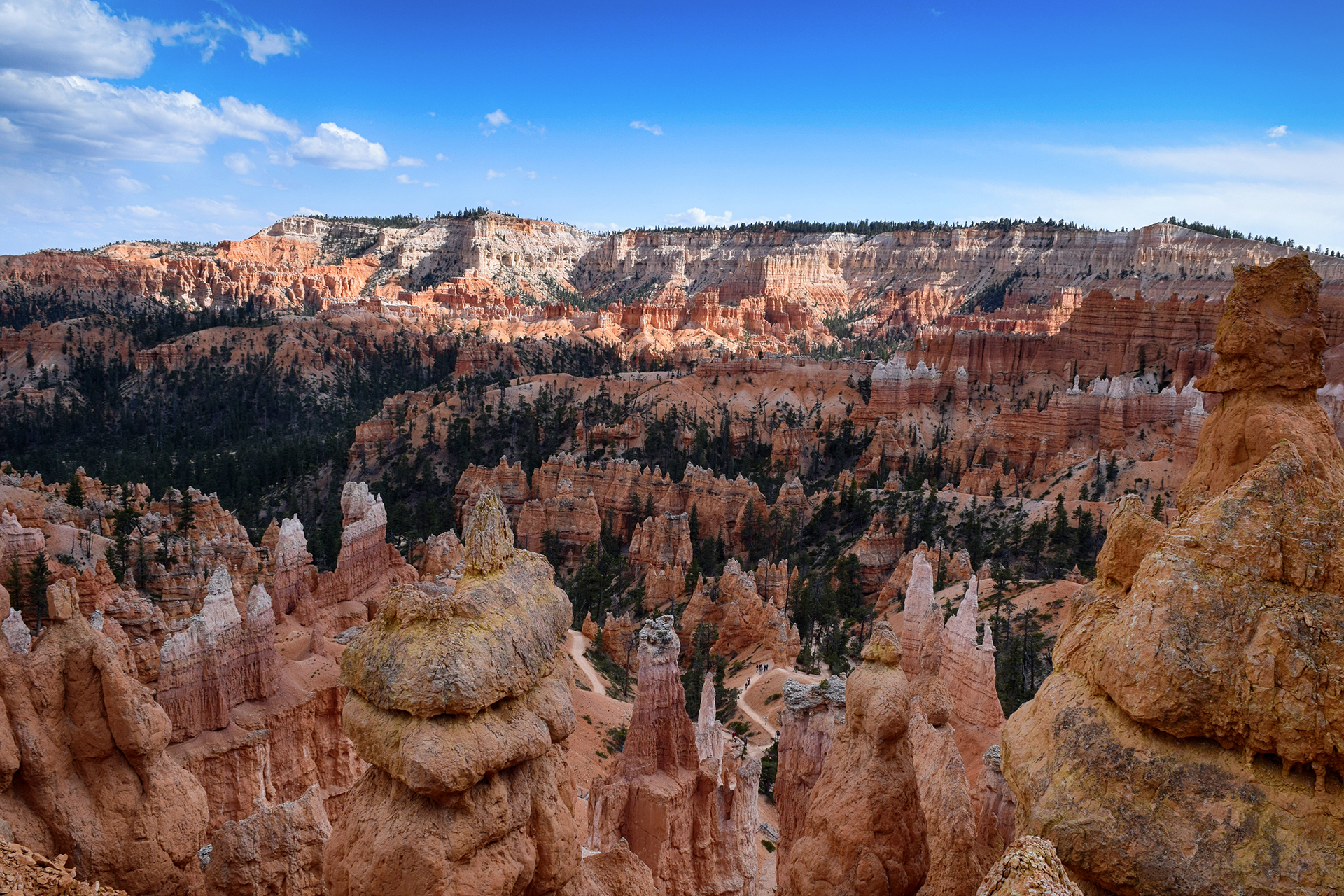
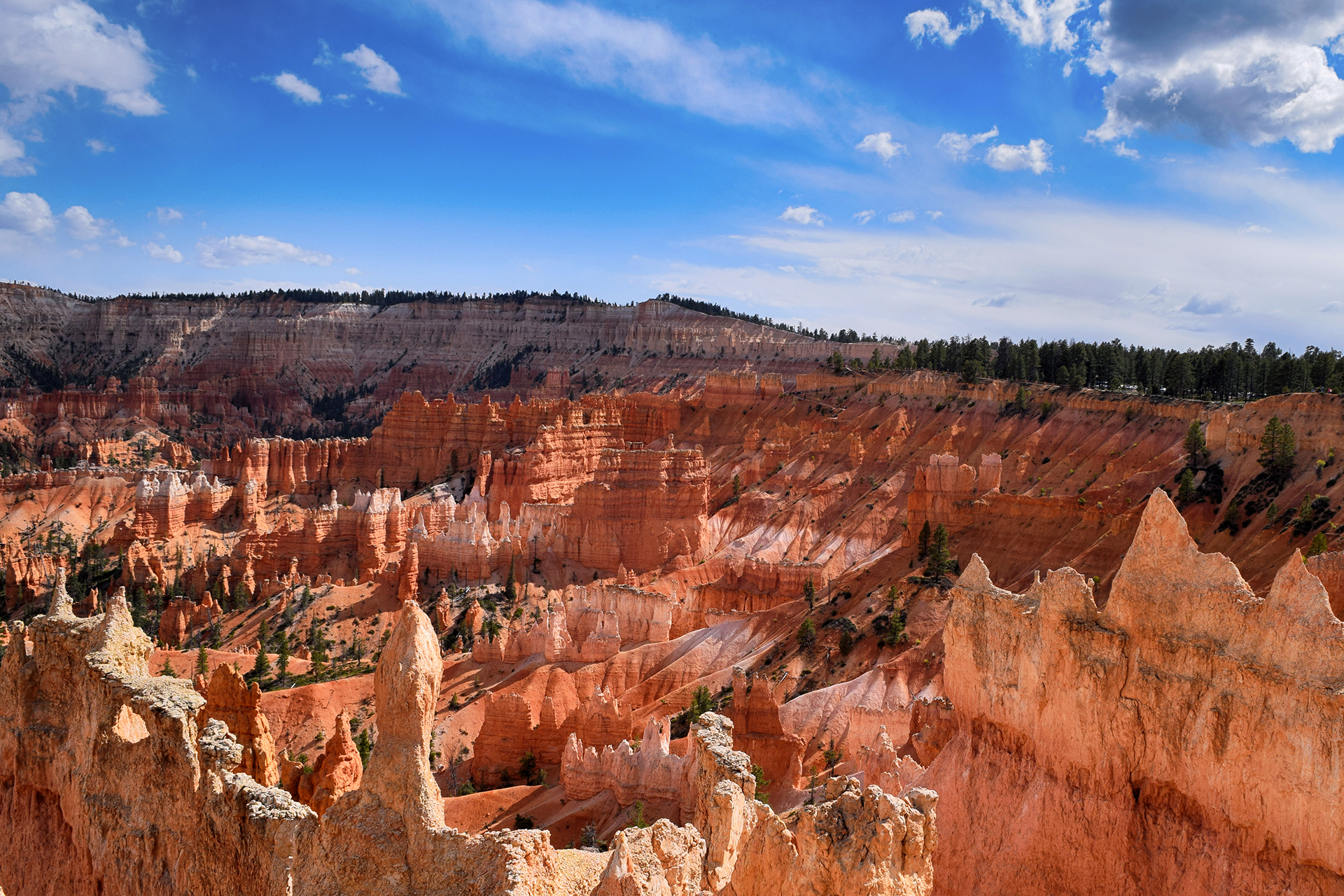
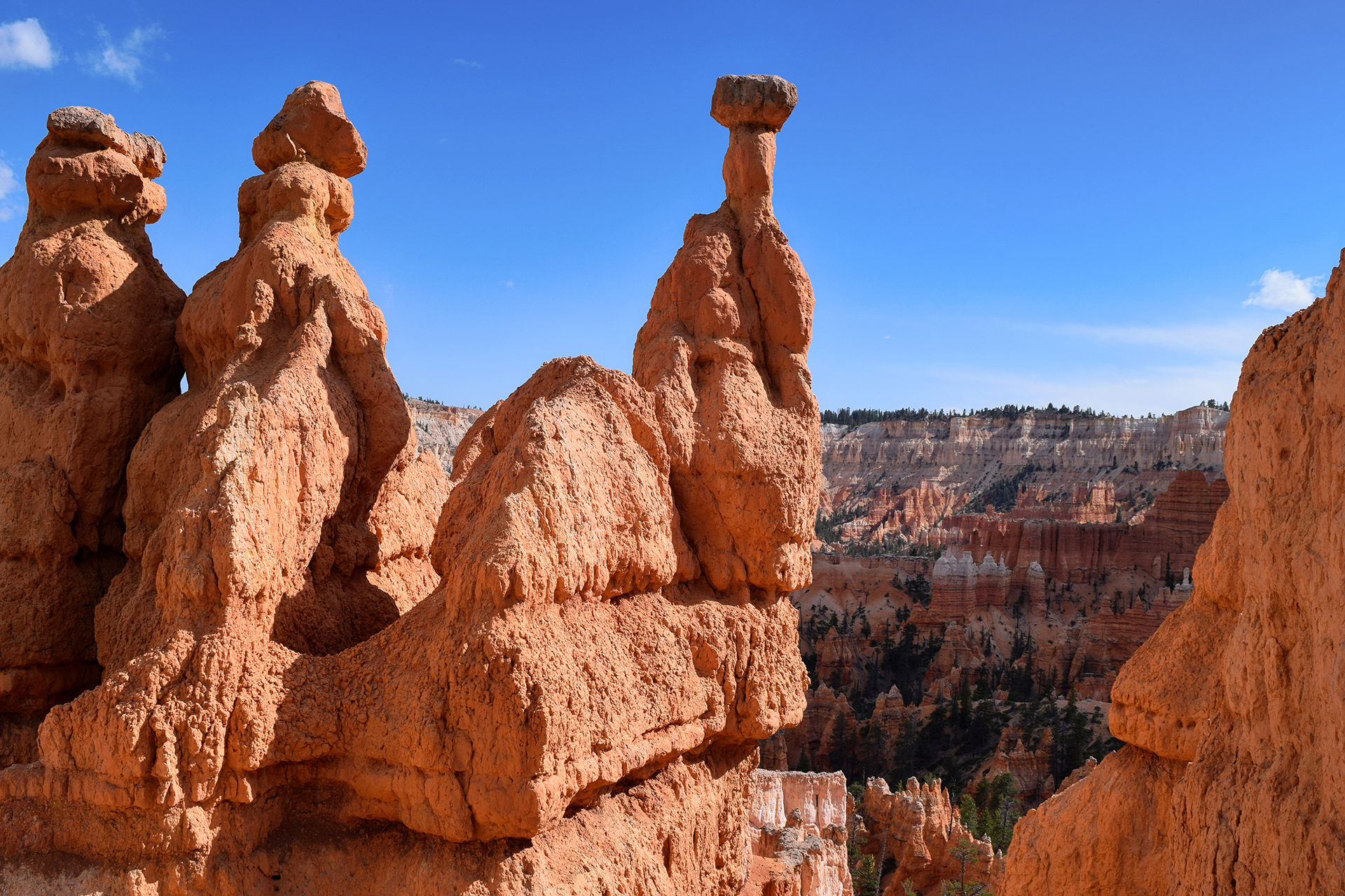
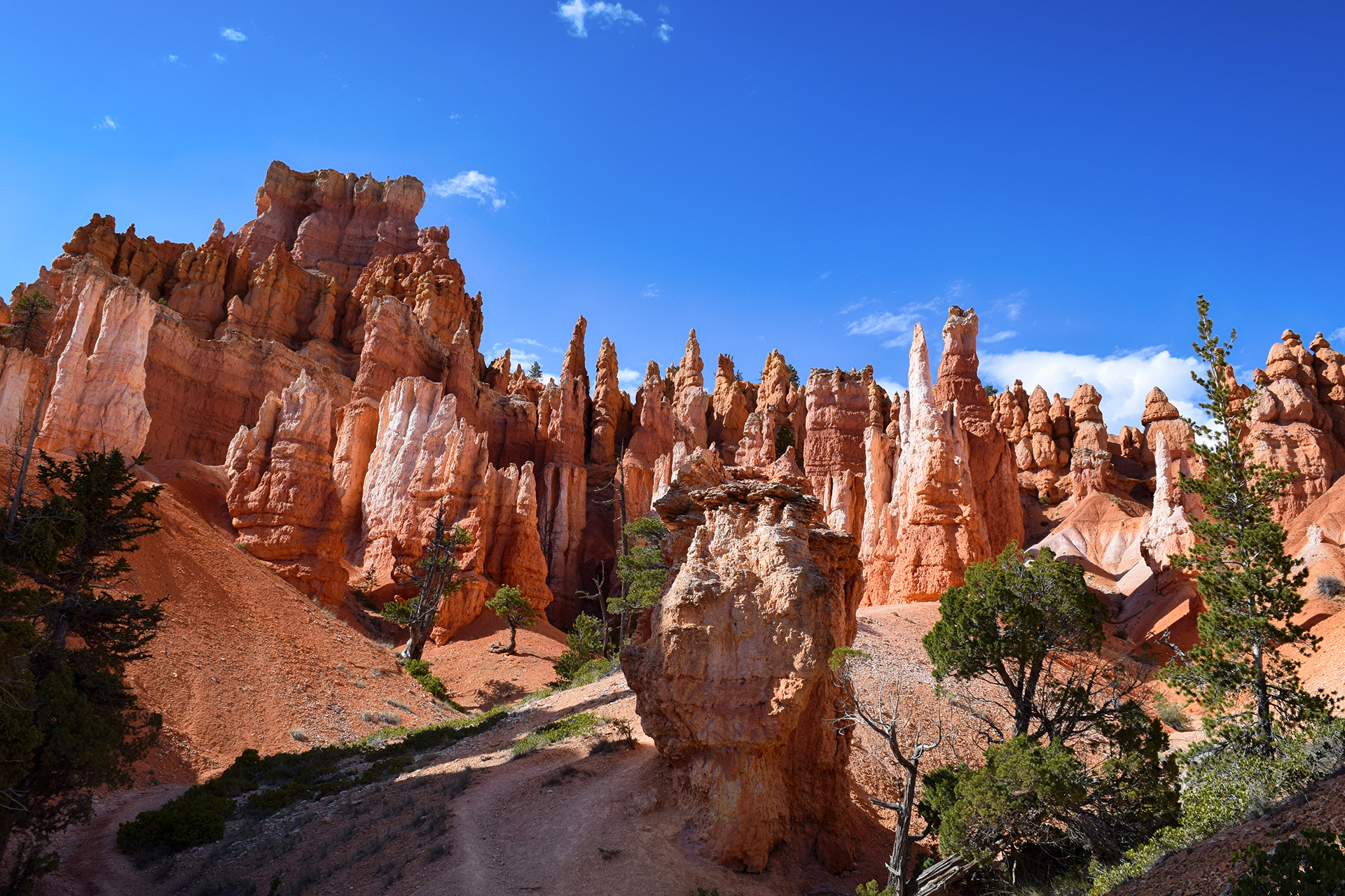
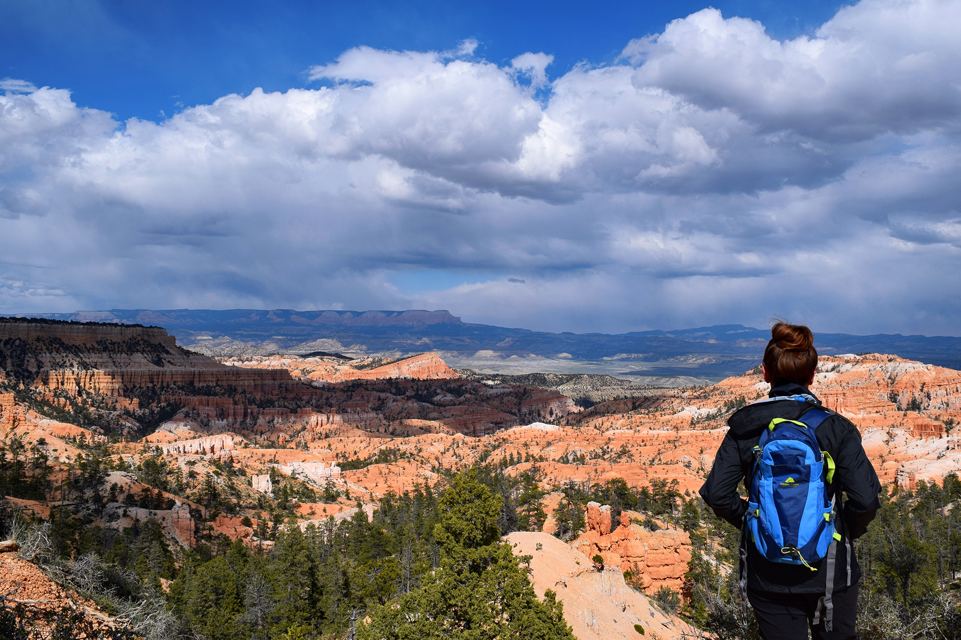
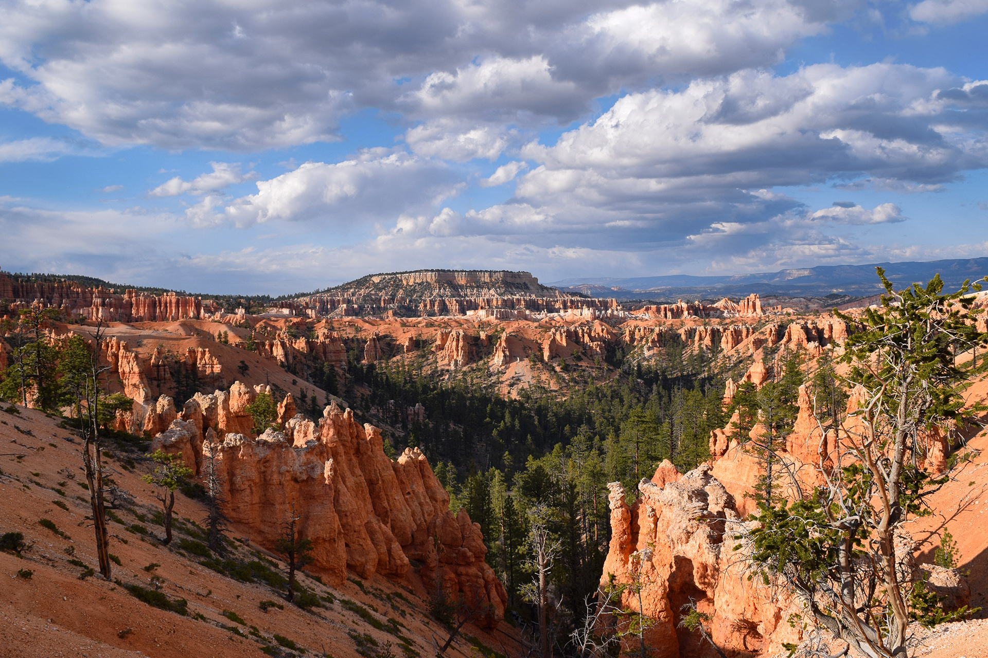
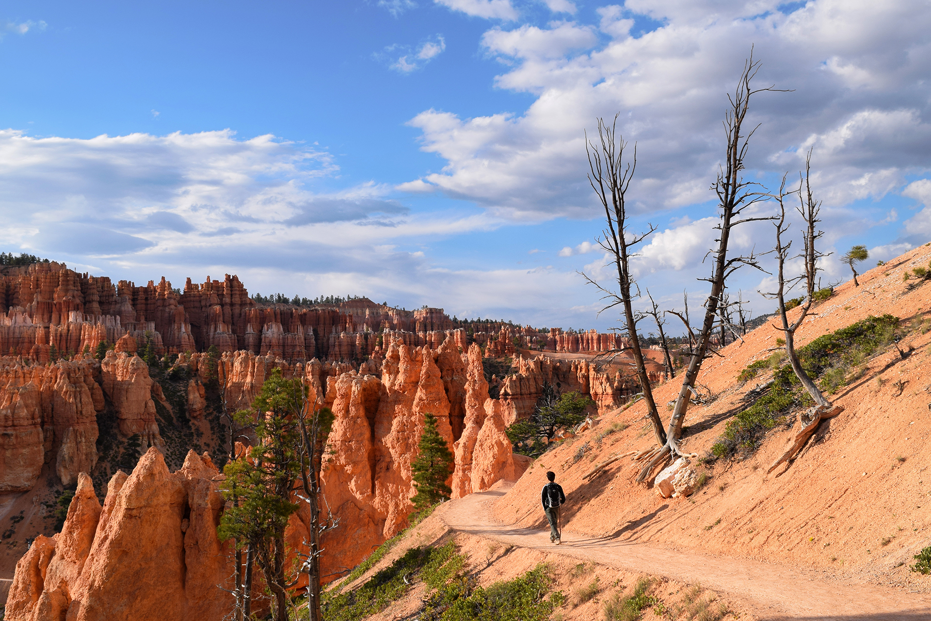
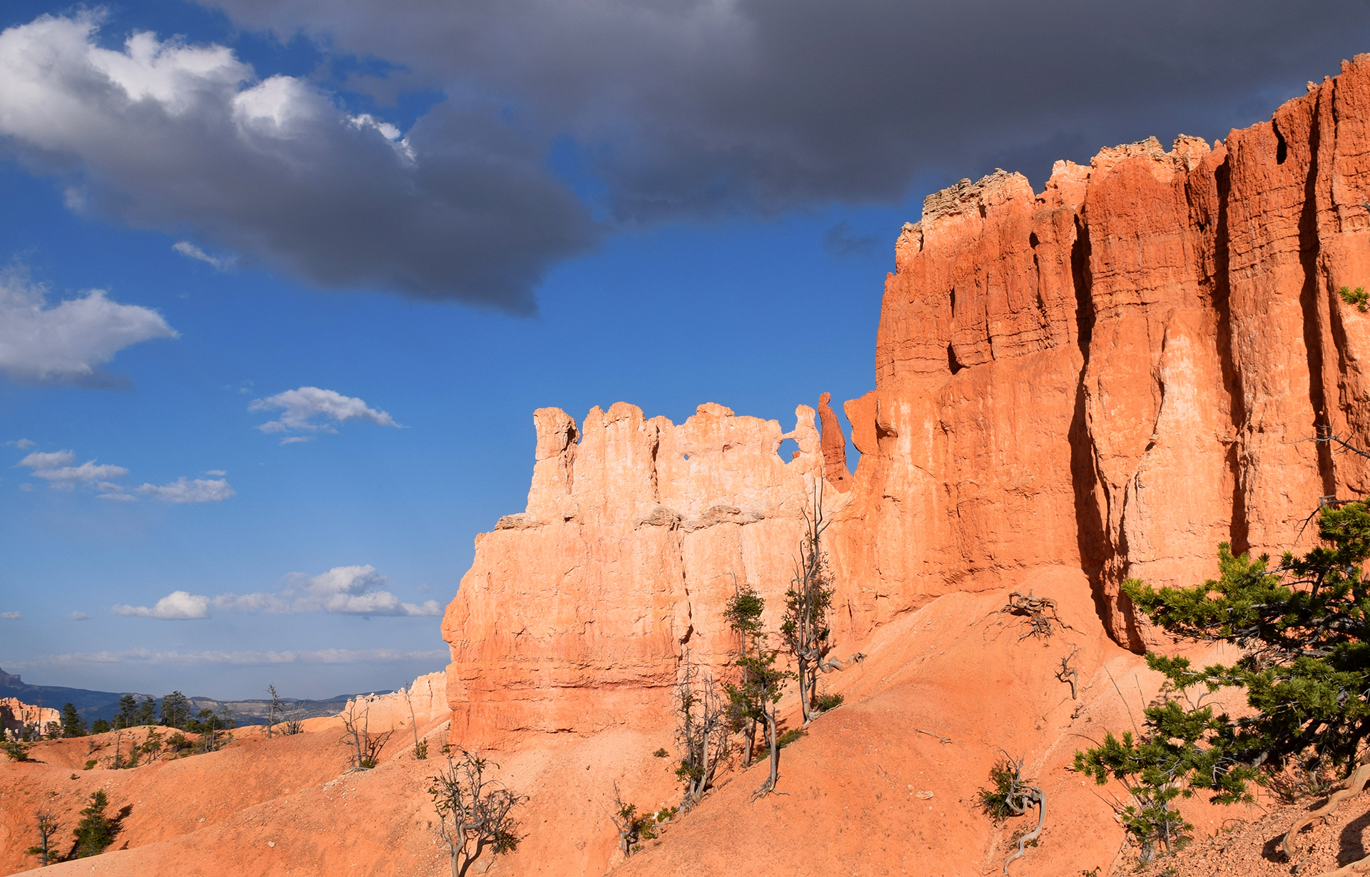
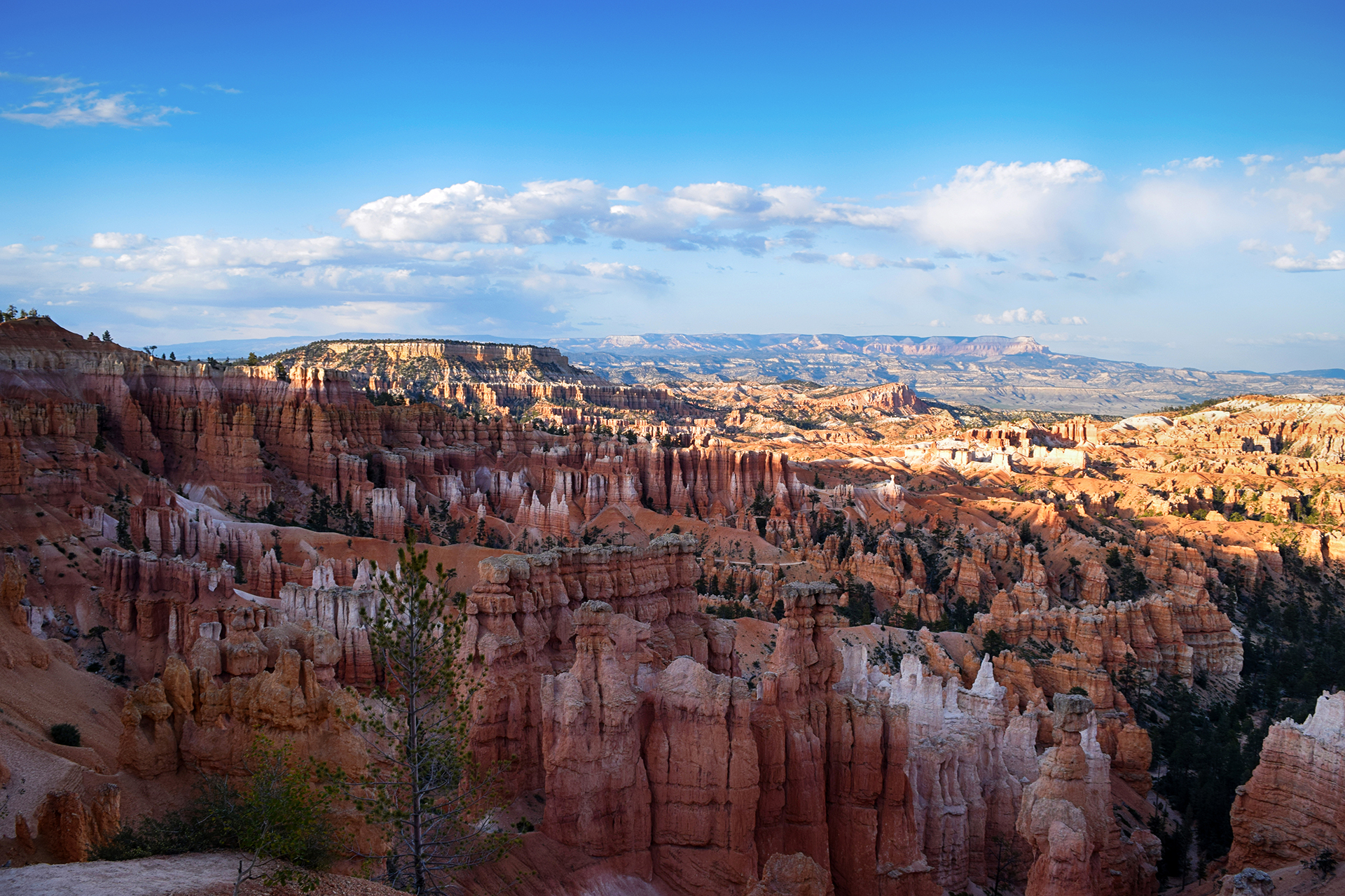
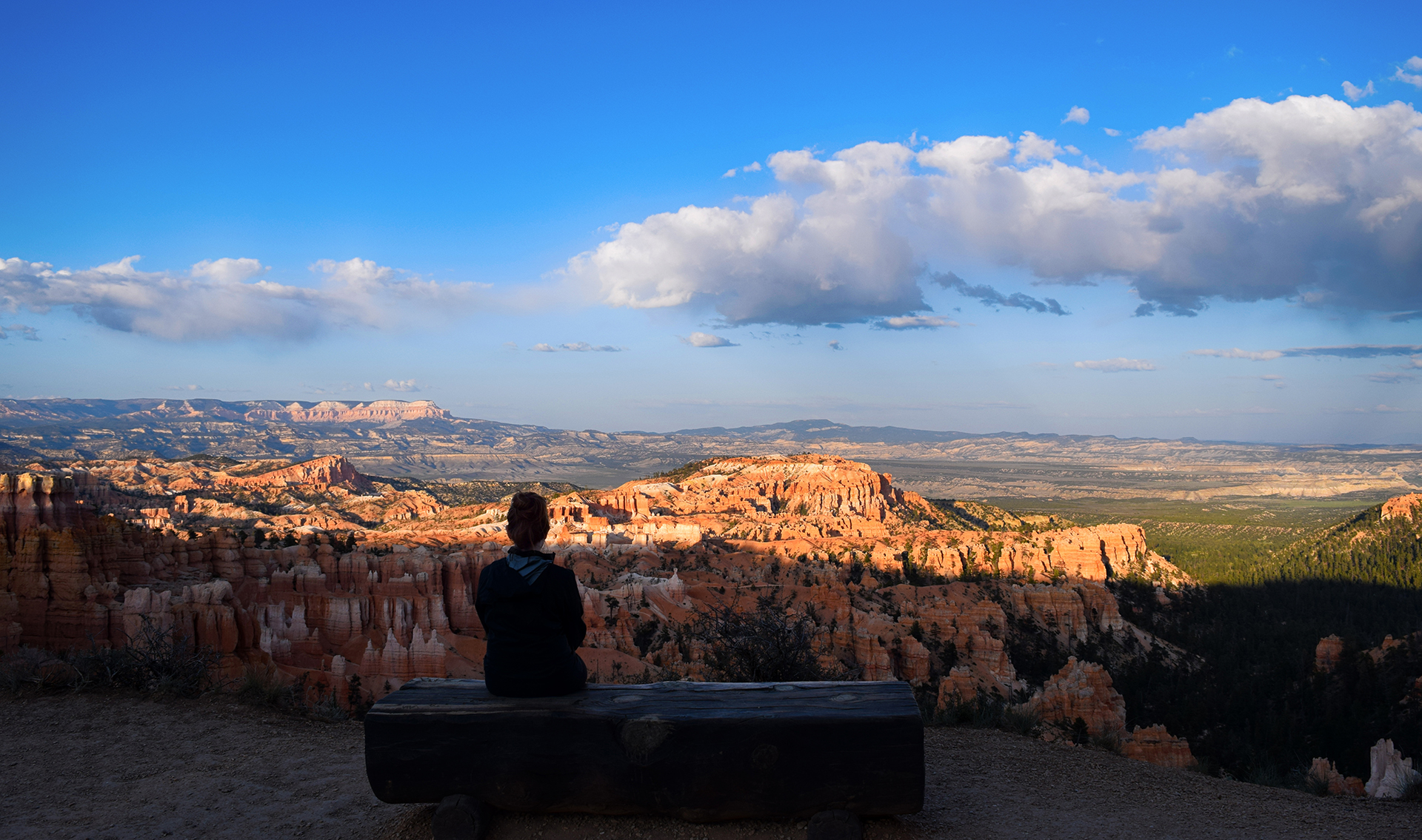
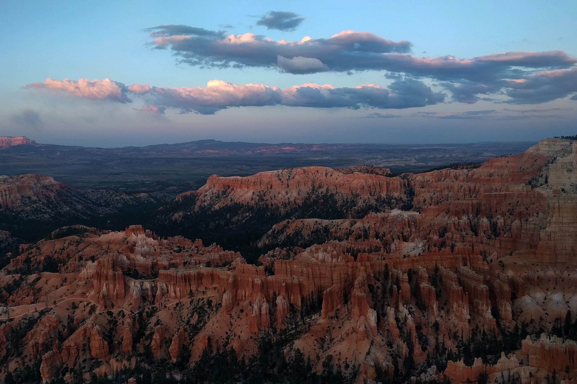
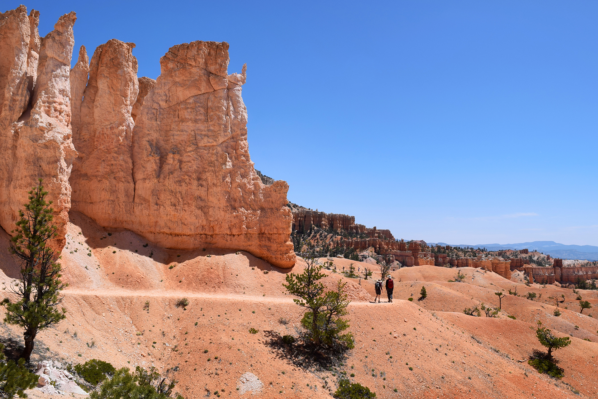
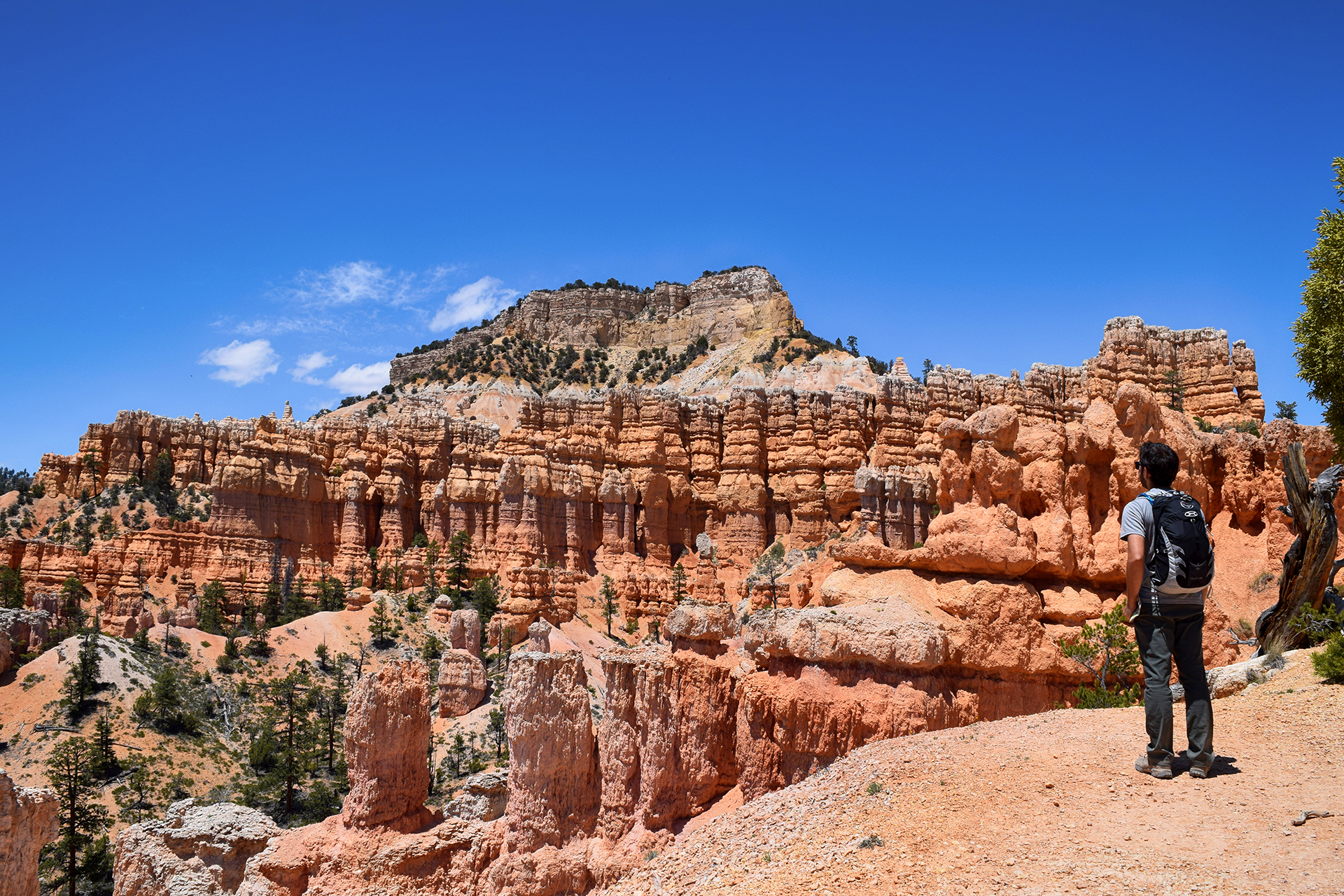
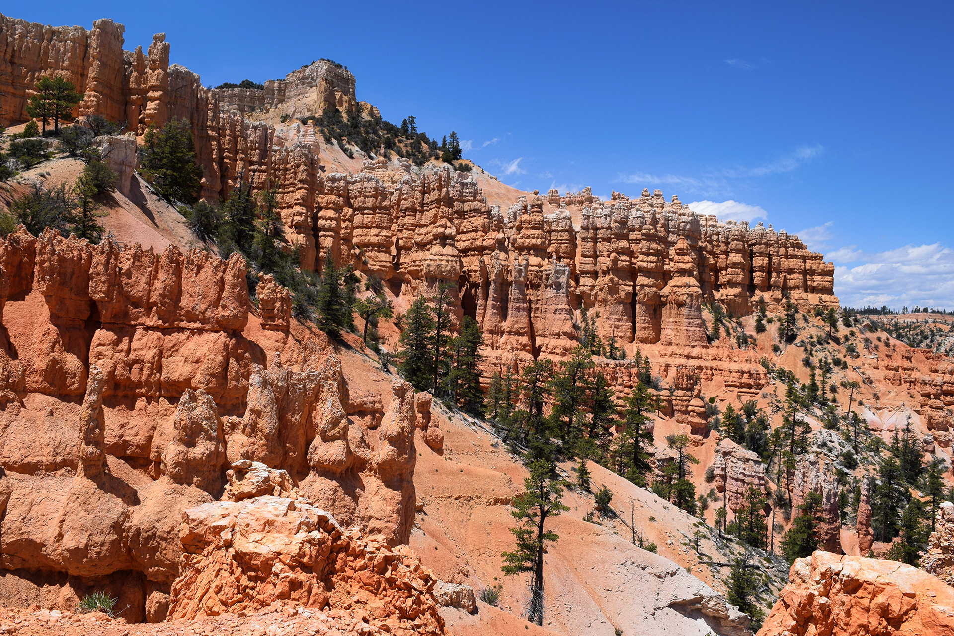
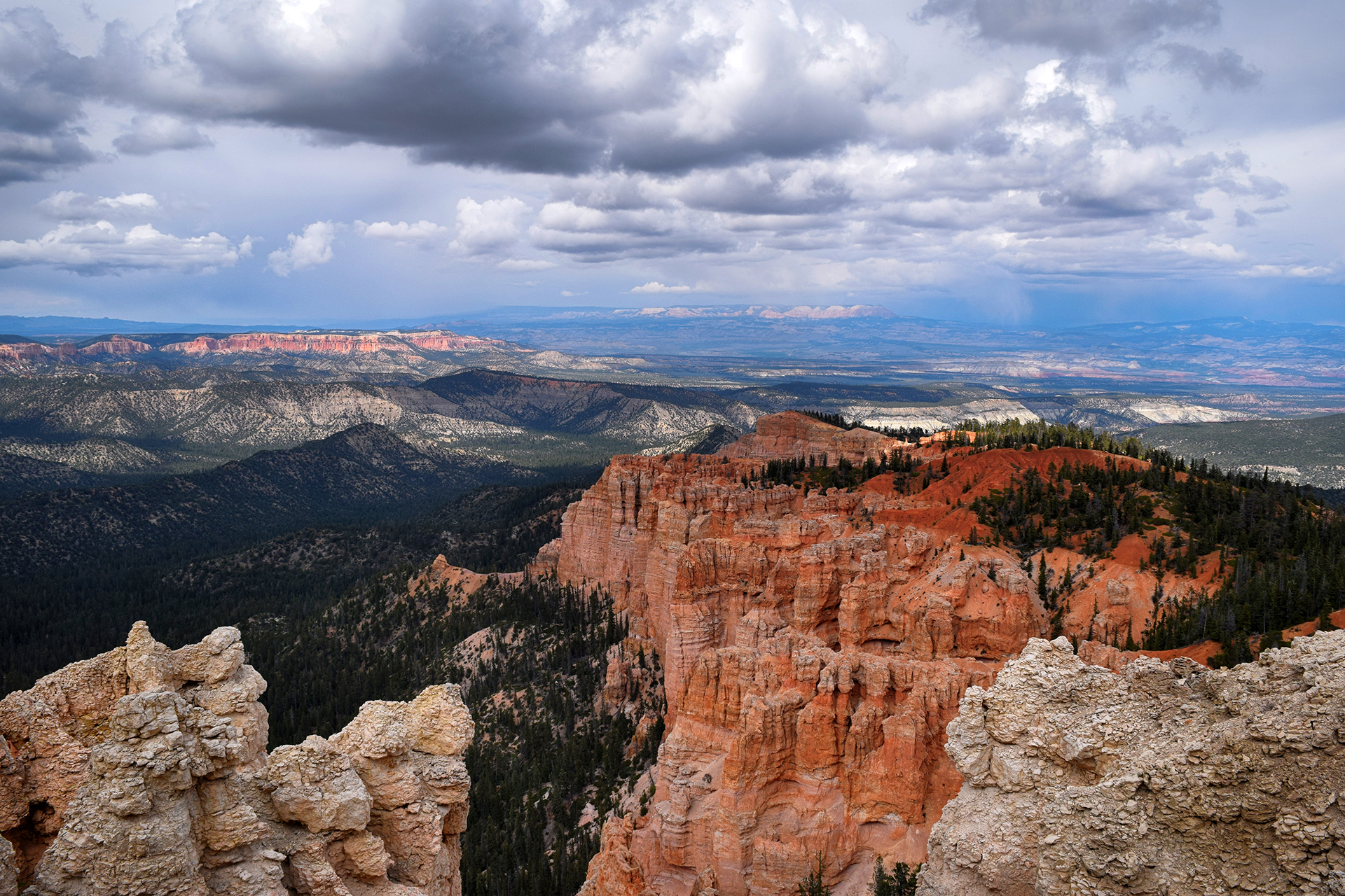
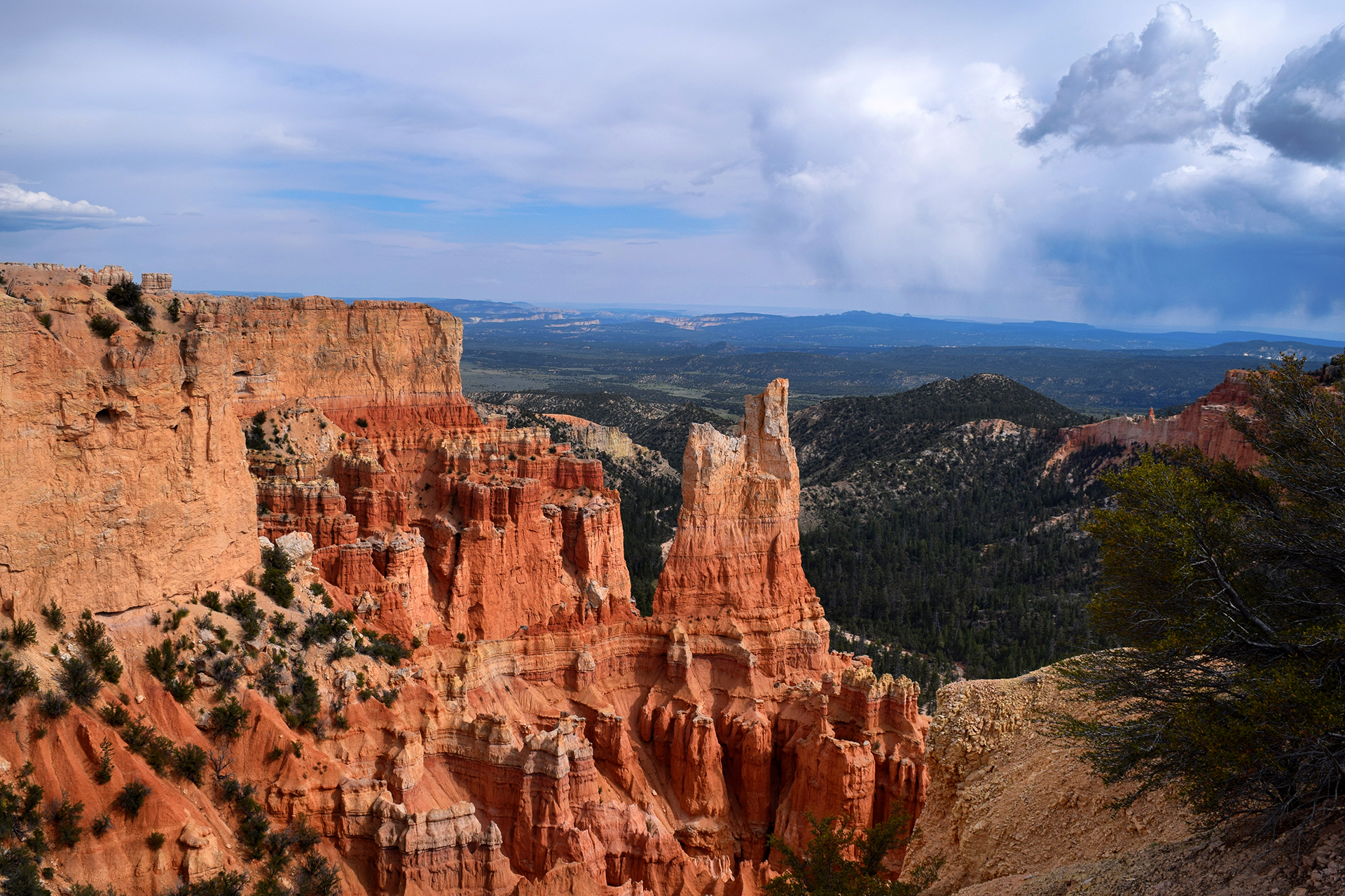
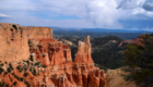
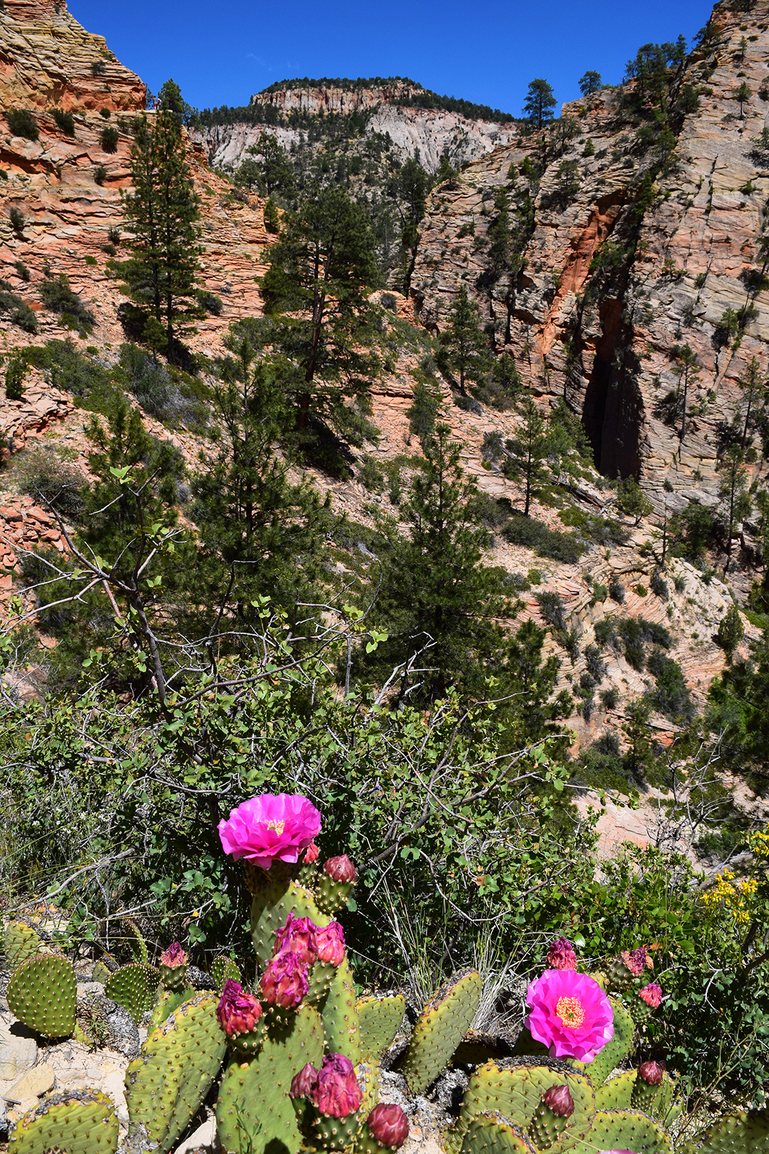
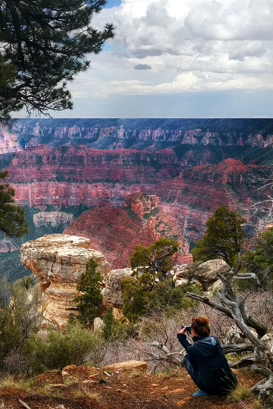
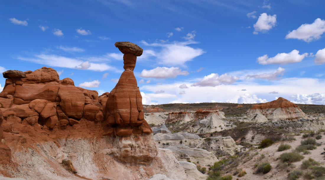
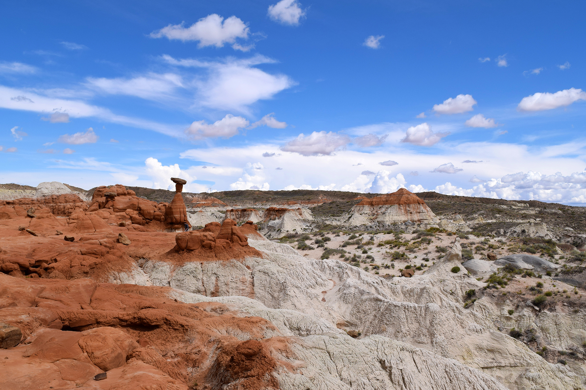
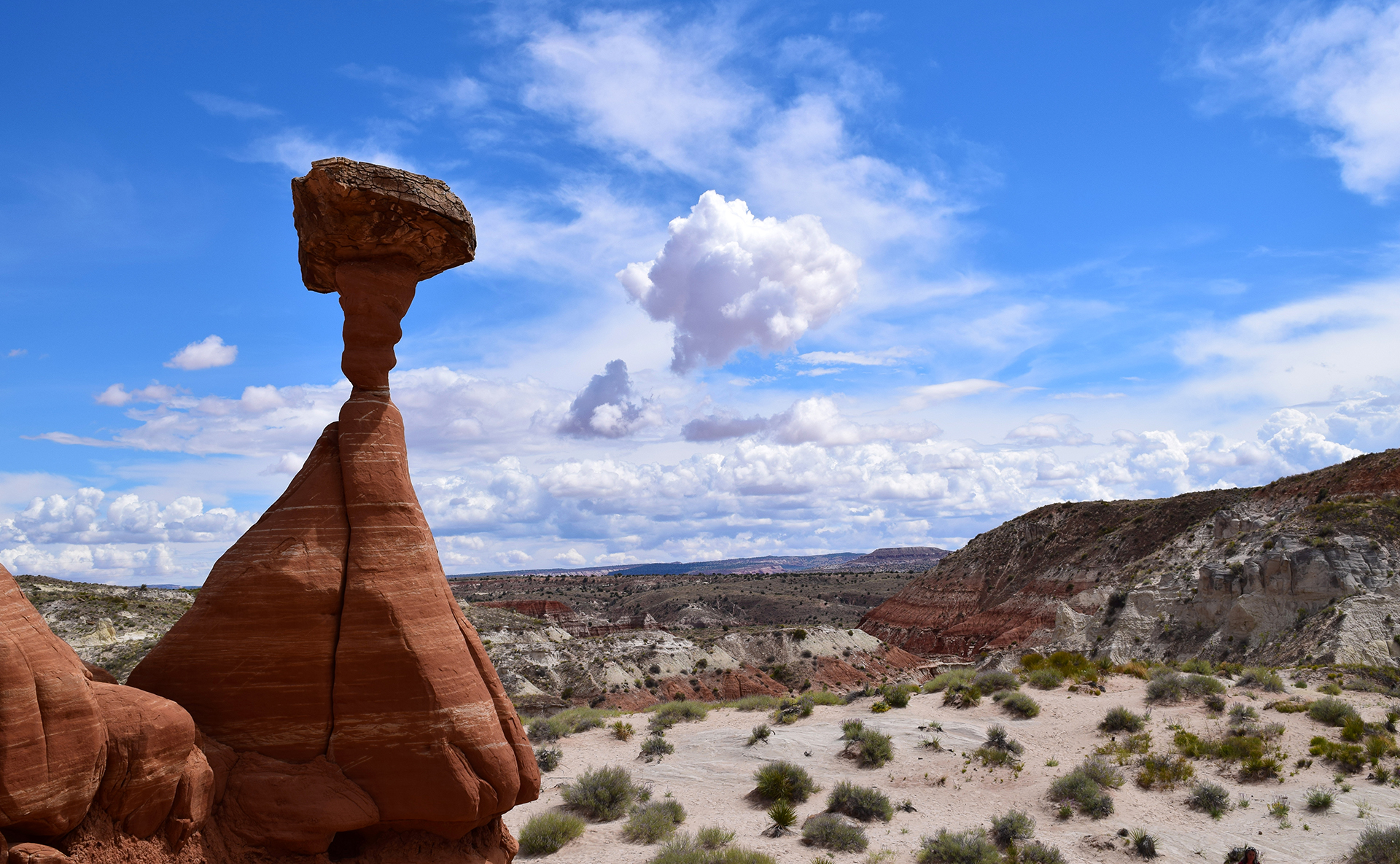
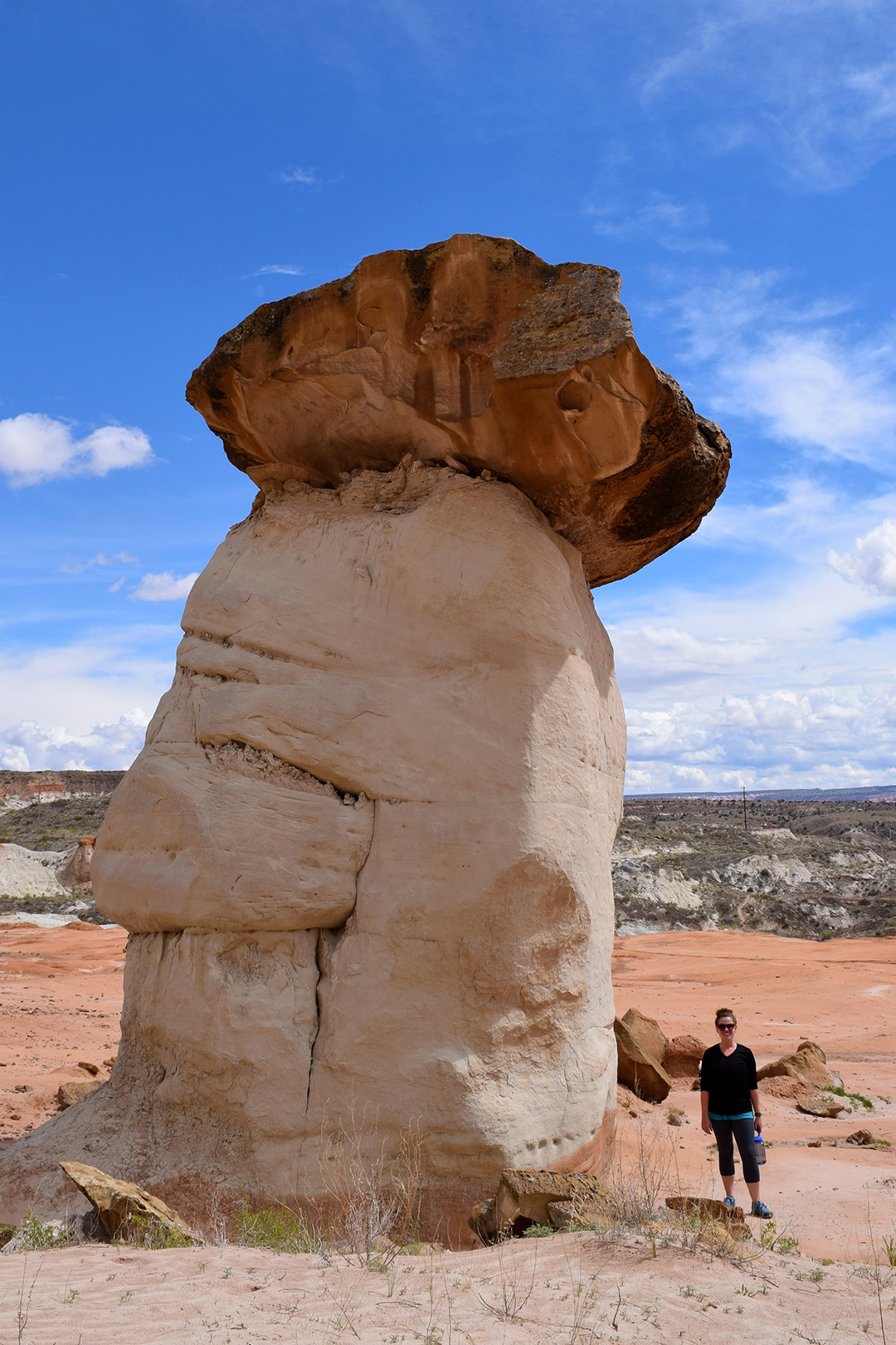
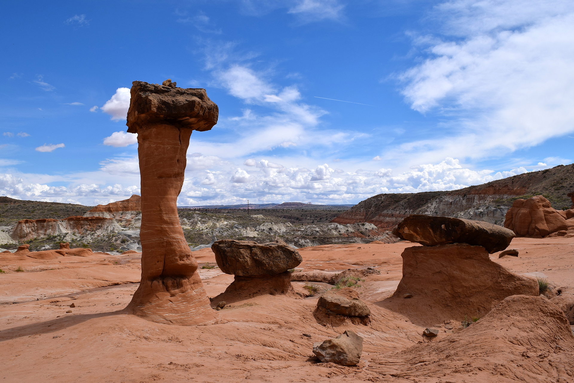
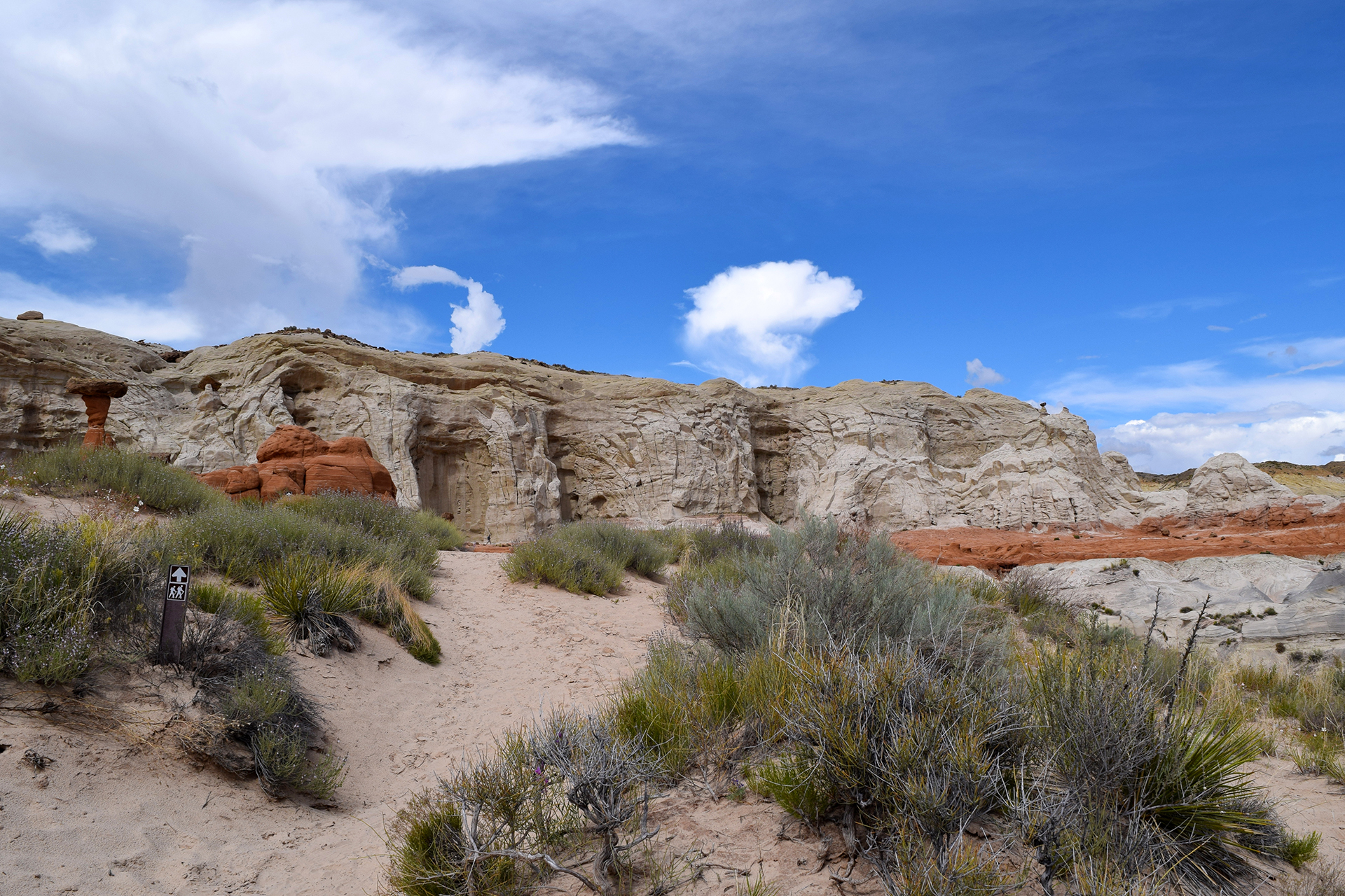
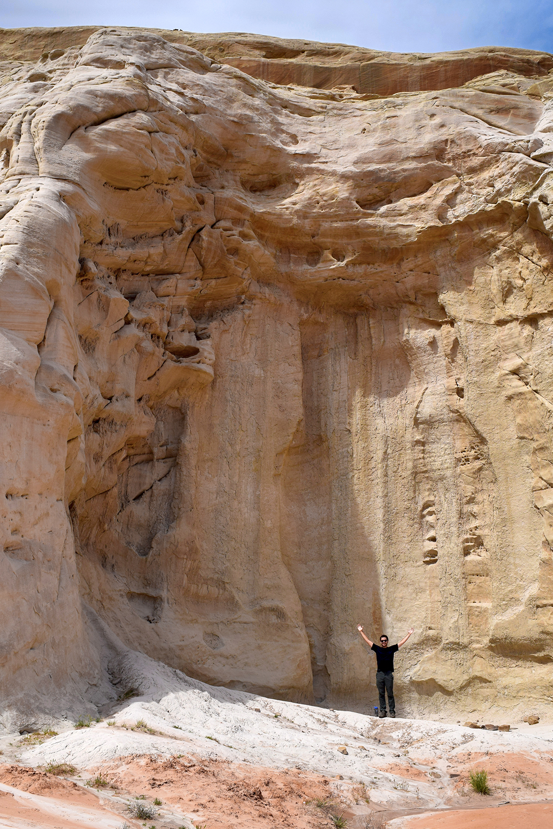
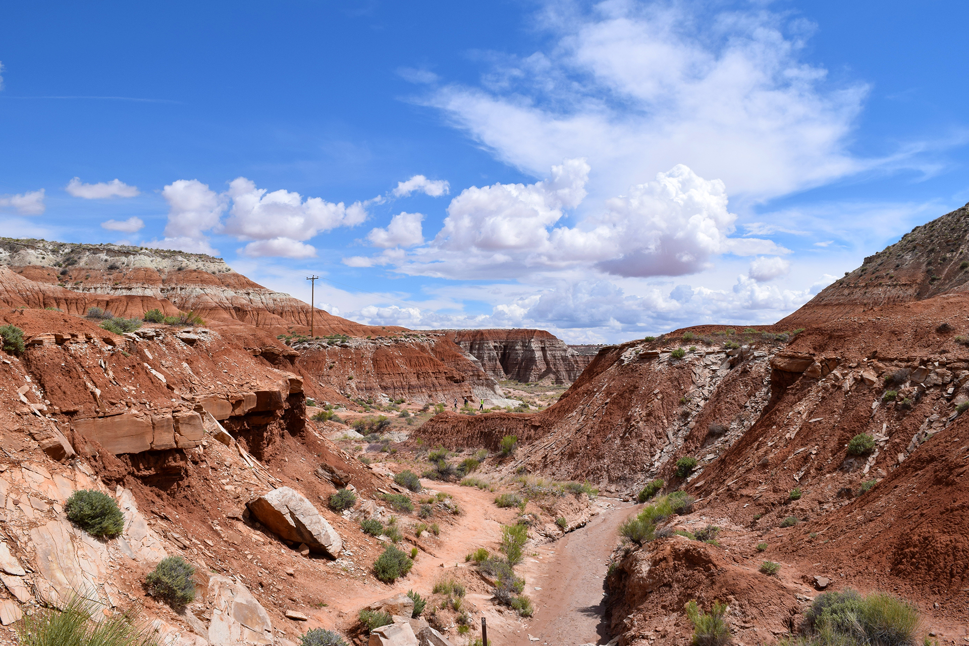
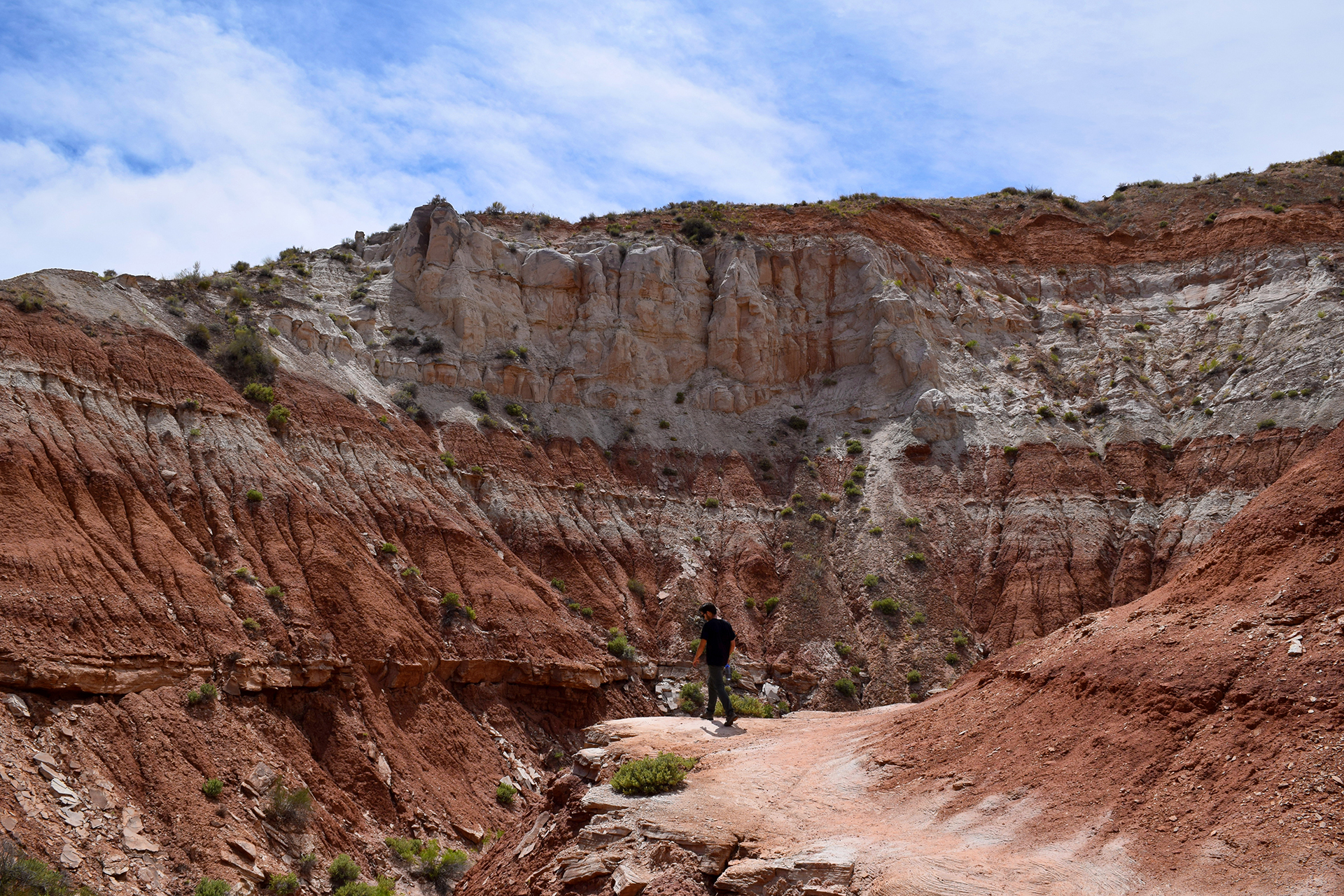
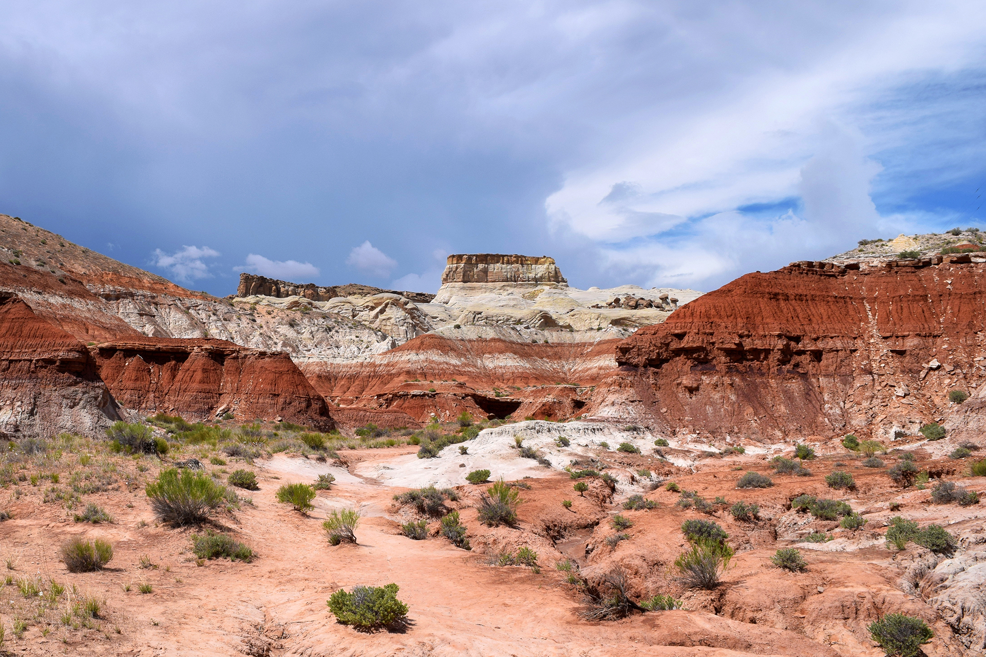
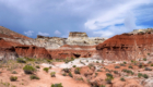
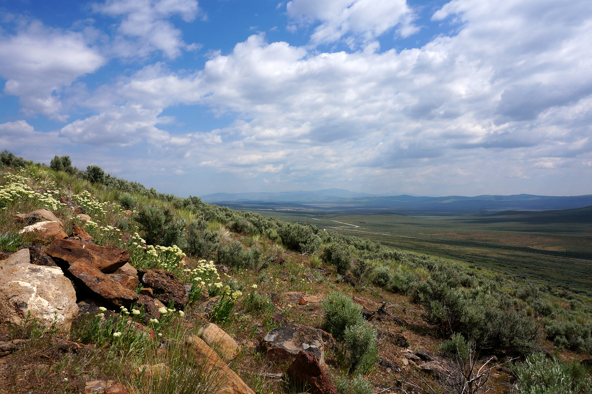
Bryce Canyon National Park really is otherworldly, and it was one of our top-3 favorite places from the entire trip.  It has some really unusual geology – Bryce Canyon sits at the top of Utah’s “Grand Staircase” of brightly layered rock formations (described in our Zion post).  The rock at Bryce is a beautiful pinkish-orange color, and it is very soft, which causes it to weather in a unique way.  Essentially, the region’s wild temperature swings cause overnight snows that melt during the day, cutting away a tiny bit of rock each time.

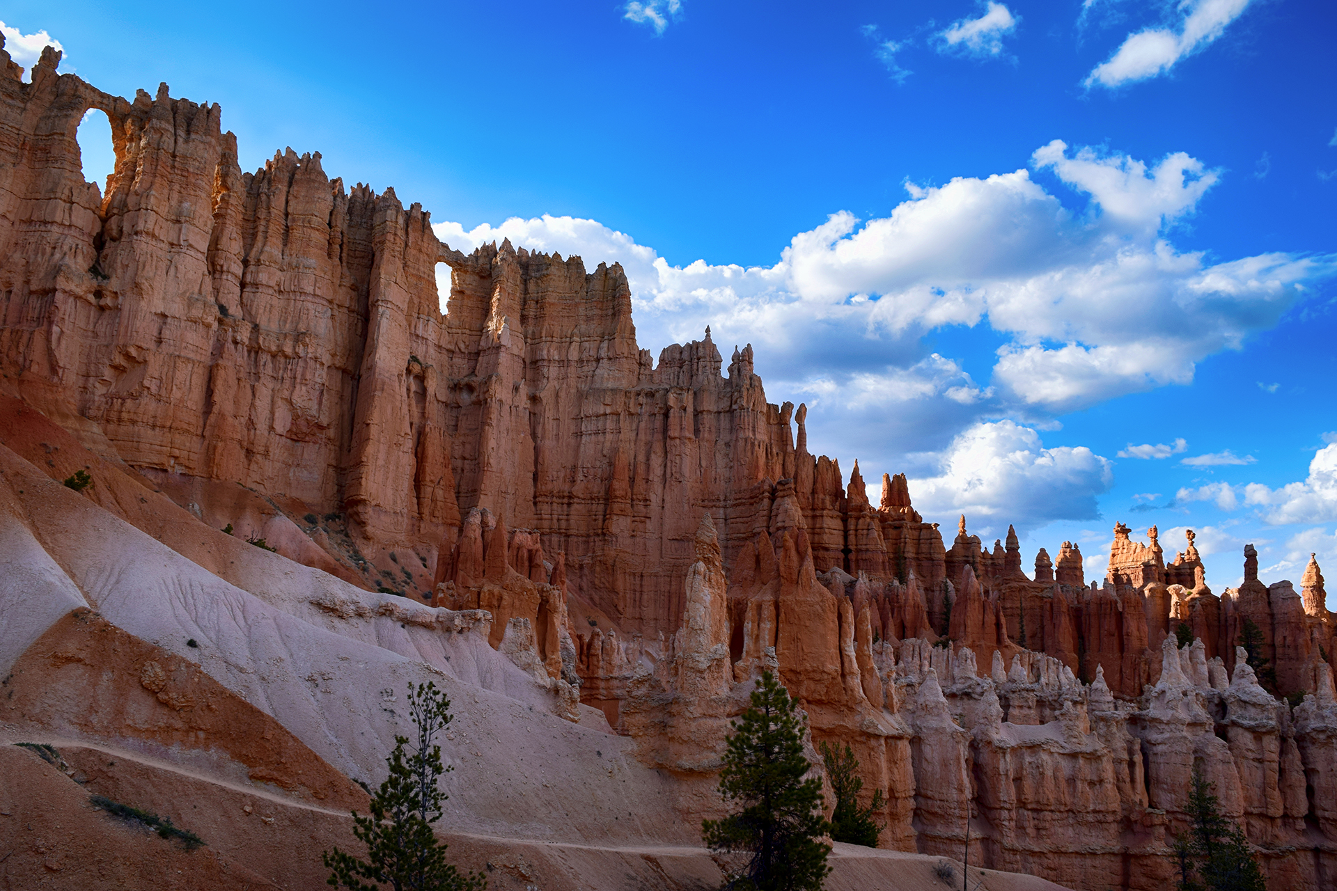
The end result is an eroded rock pillar, narrow and very tall, called a hoodoo (although we usually called them hodors).  The astonishing thing is that they form in massive formations as entire sections of mountain are cut away, creating row upon row of pillars.  These formations are often mind-bendingly uniform, like soldiers standing at attention.

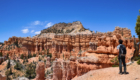
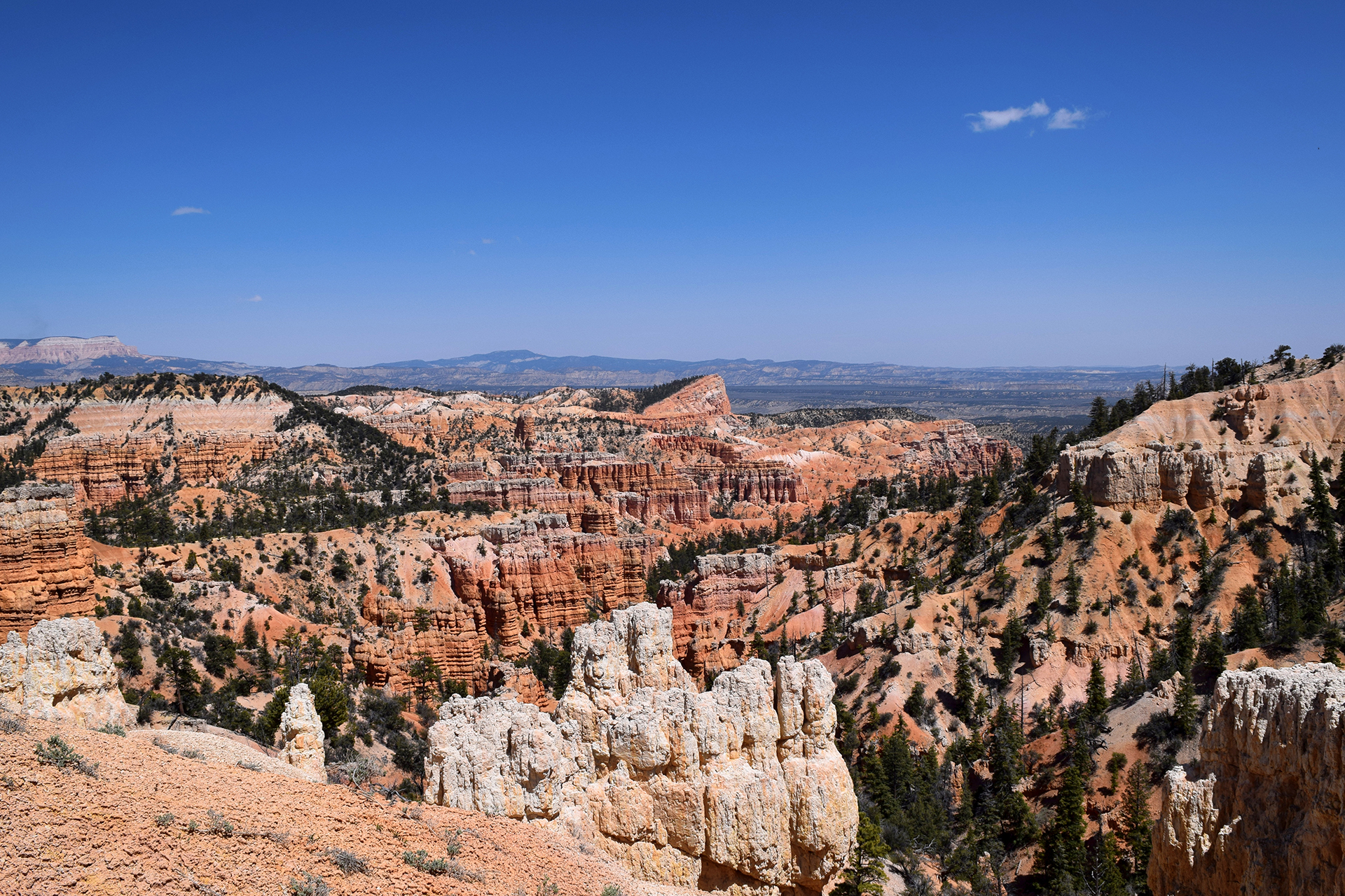
They are especially pretty when a formation is banded with rock layers.

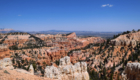
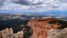
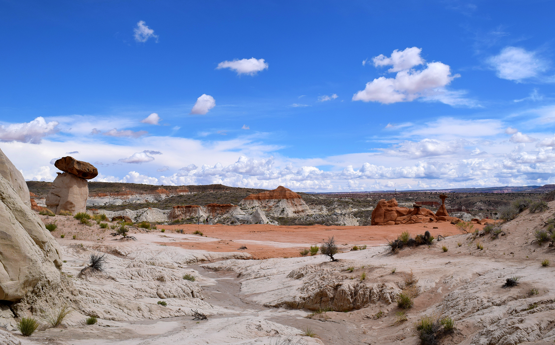
Although hoodoos can be found in many places in the desert, Bryce Canyon has more hoodoos than anywhere else in the world.  In addition, the formation process results in the mountain being carved out into a curved shape, like an amphitheater.  The most famous of these is Bryce Amphitheater, where the view from the rim is as cool as the other side of the pillow.

Walkie Talking

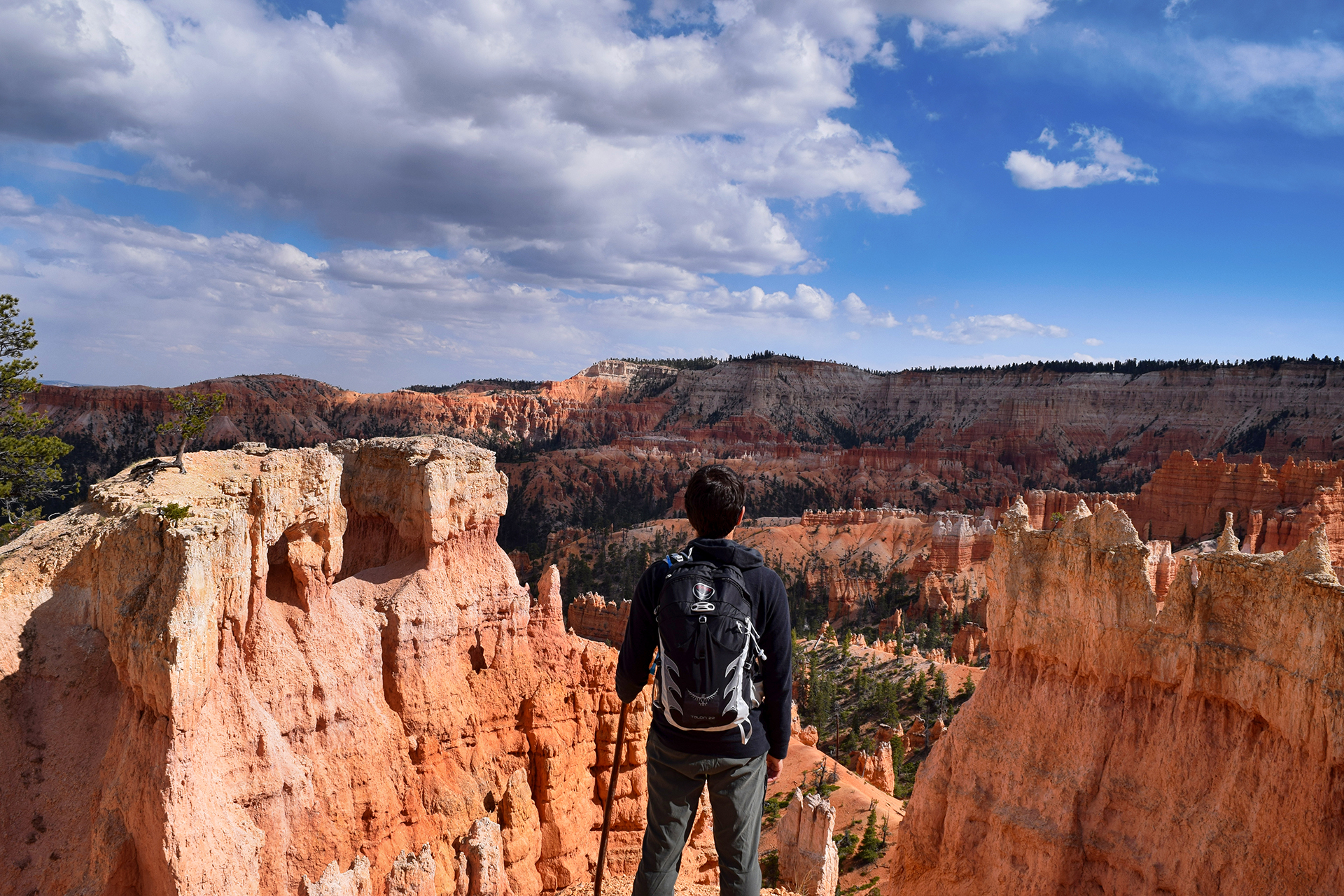
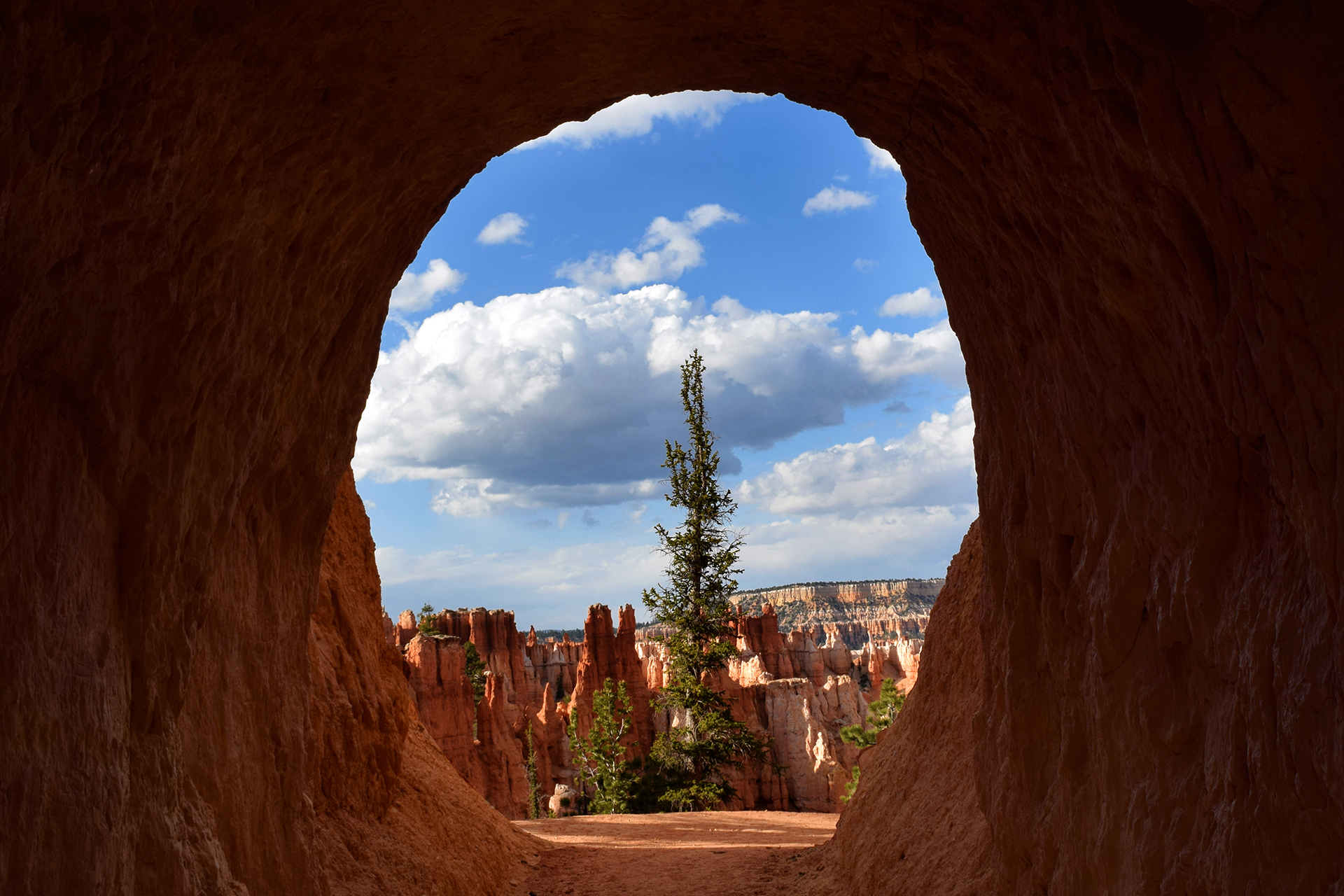
Many people just view Bryce Amphitheater and the short scenic drive, but the entire area is amazing.  We actually overheard a young man in a gigantic pick-up truck bragging that he was going to see the entire national park in “under twenty minutes.”  To each their own – *coughdbagcough* – but personally, we were head over heels for hoodoos, so we took a different approach, hiking everywhere and trying to see everything.

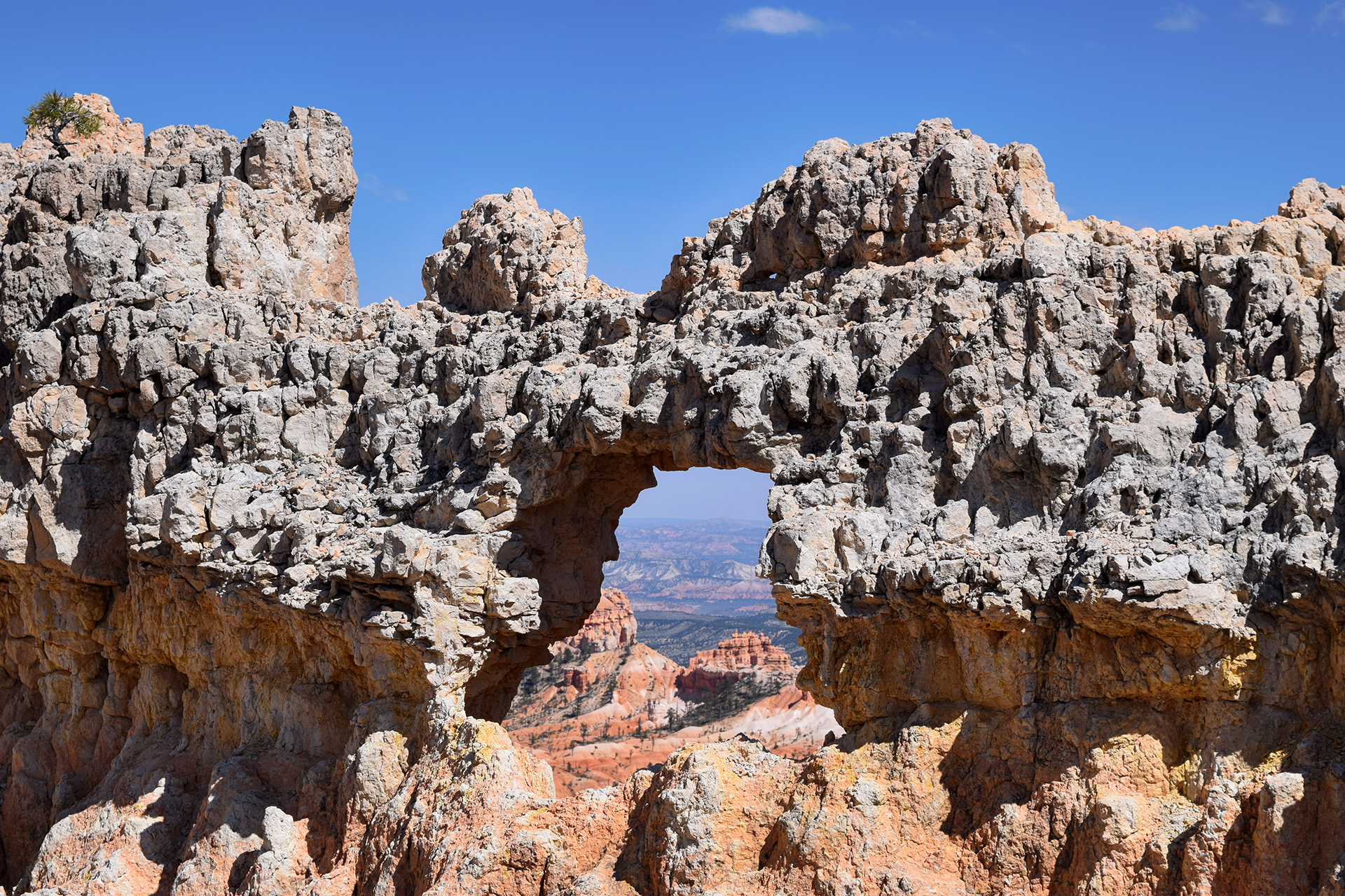
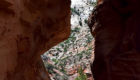
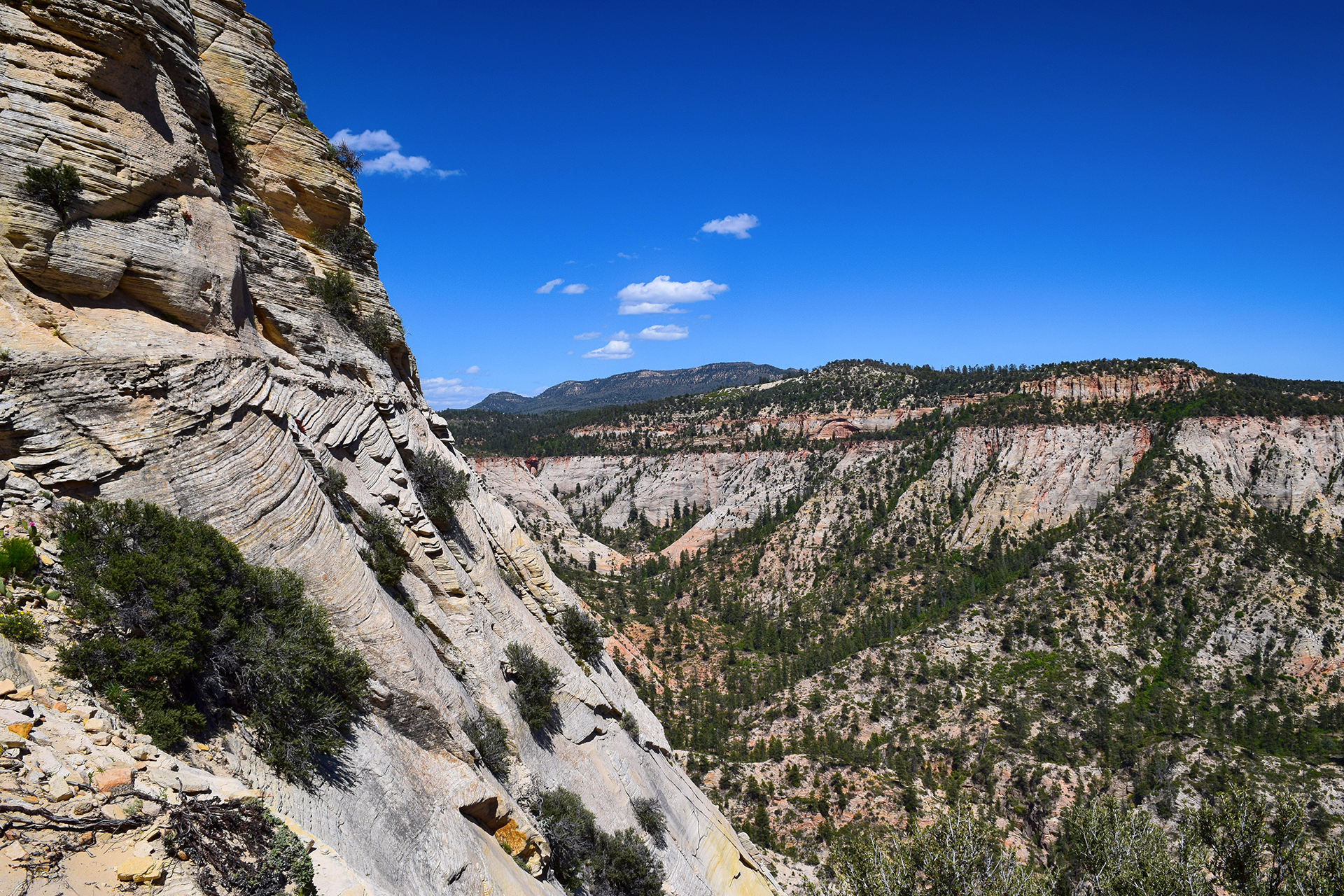
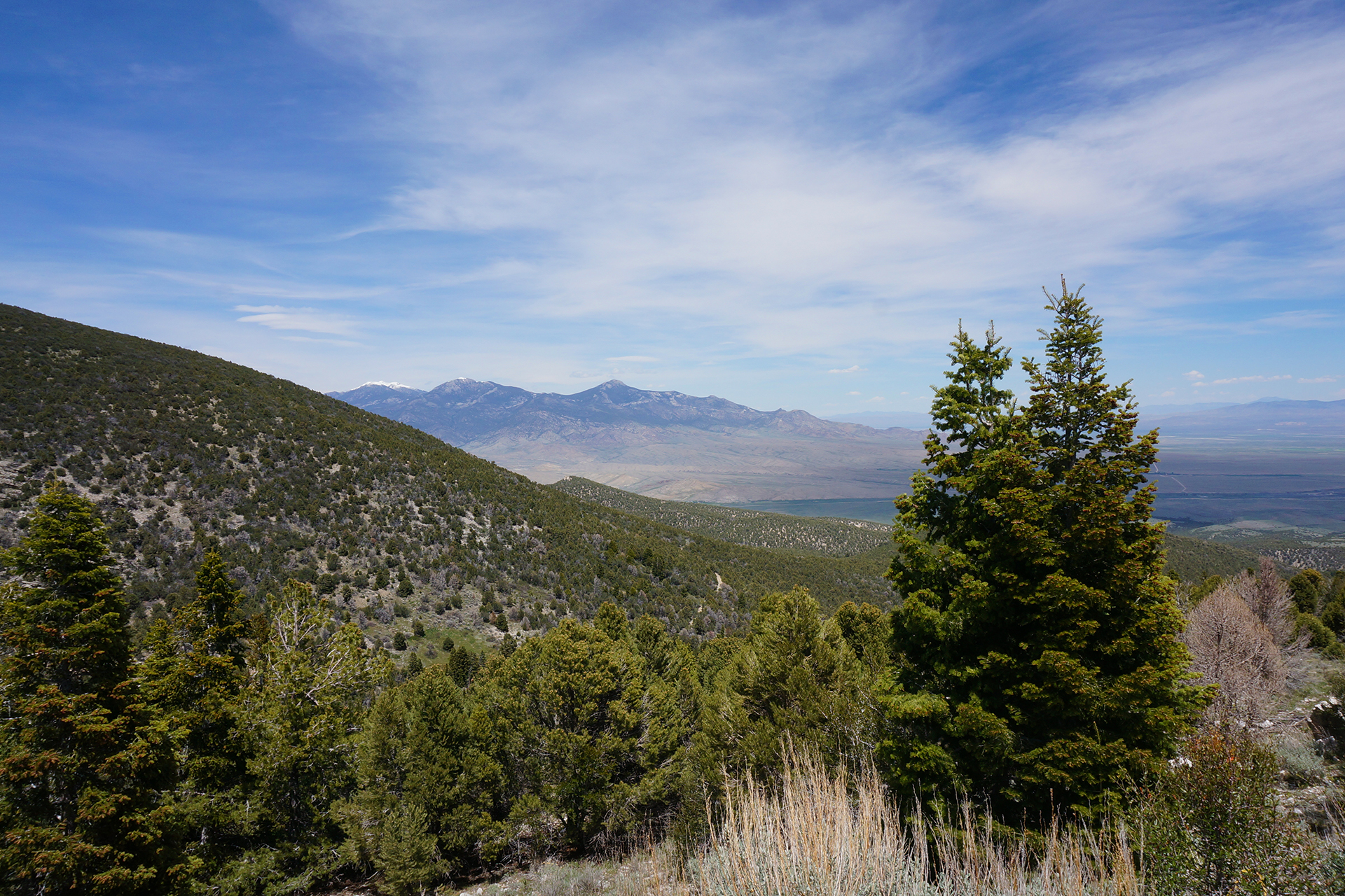
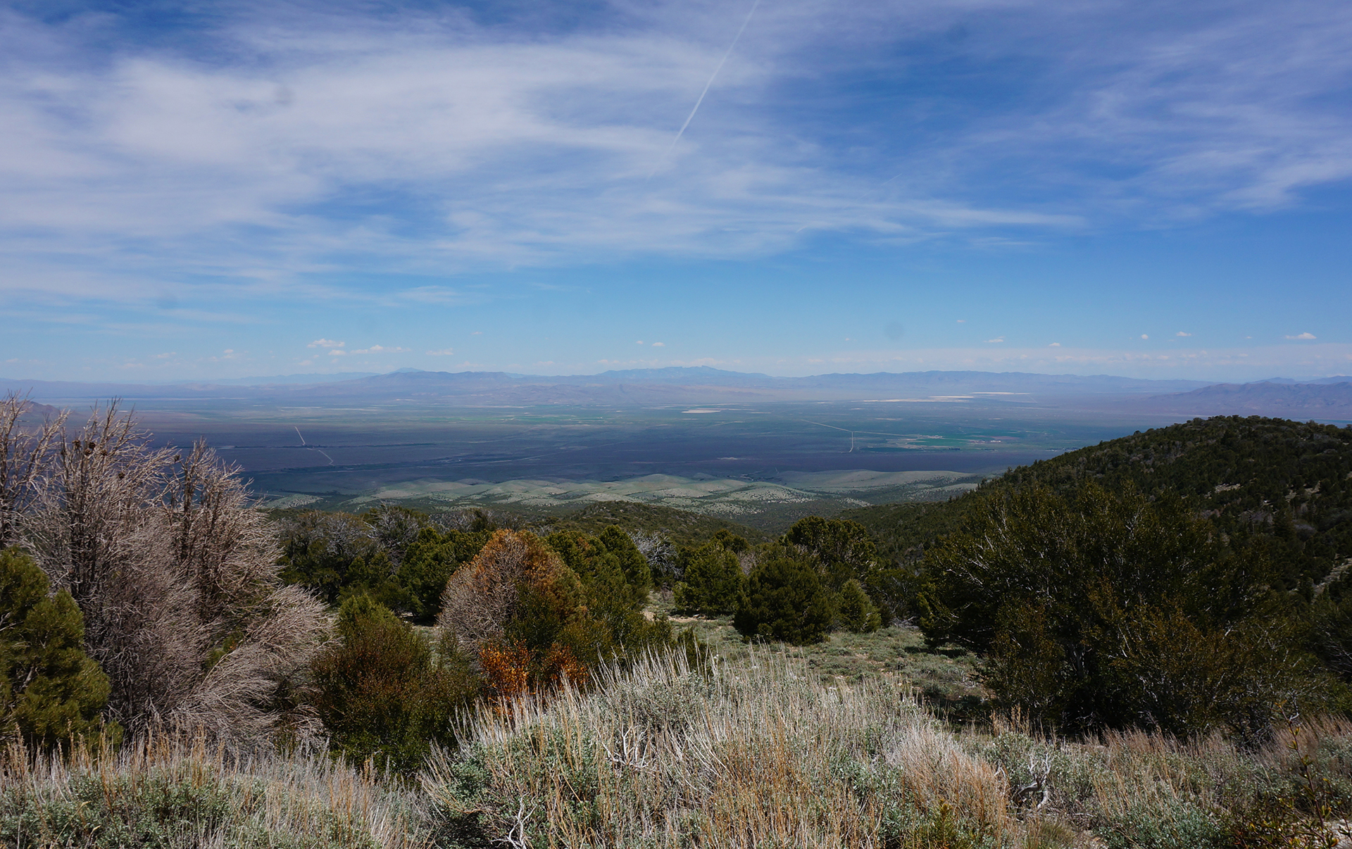
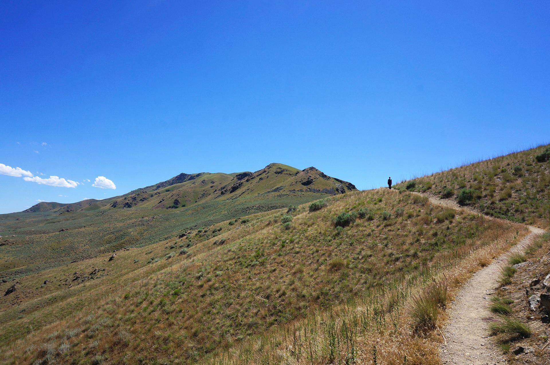
Bryce Canyon is relatively small, so unlike Zion, we were able to do every major hike in just a few days.  It is also much, much less crowded than Zion, and venturing down the trails even a quarter-mile often left us in complete solitude.  This was national park heaven, and we hiked in quiet amazement for miles past hundreds of fantastic rock formations – not just hoodoos, but rock curtain walls, windows and archways, even something that looked like a sinking ship.

Some of the hikes were tough, but we were basically mountain goats at this point.  In fact, the night we got in, we planned to do one short, 3 mile hike, starting around 5:30 p.m. (the best lighting for photos at Bryce is at dawn and dusk).  Once we started, though, we couldn’t bear to stop, and we decided to tack on another 5 miles as the sun began to set.

One the one hand, it might not have been the smartest idea to hike 8 miles at sunset in a place known for its freezing temperatures at night.  But on the other hand… hoodoos.

Game Changers

The next day, we hiked another 8 miles, this time through the area known as Fairyland.  There were a lot of cool sights, but unfortunately Tinkerbell was nowhere to be found.  We did have an amusing encounter at the end, however, when Jake spotted a woman with what looked like a large iced coffee and wandered over to ask her where she got it.

“Oh, this isn’t coffee, it’s just soda,” she said, and told us where to find the store.  Then, she leaned closer and whispered conspiratorially, “but the soda does have caffeine in it.  It’s a game changer!”

Oh, right.  We were in Utah, and many Mormons consider caffeine to be forbidden.

“We’ll just keep it between us,” Jake said, and winked.

And then we left to get some god-damned caffeine.

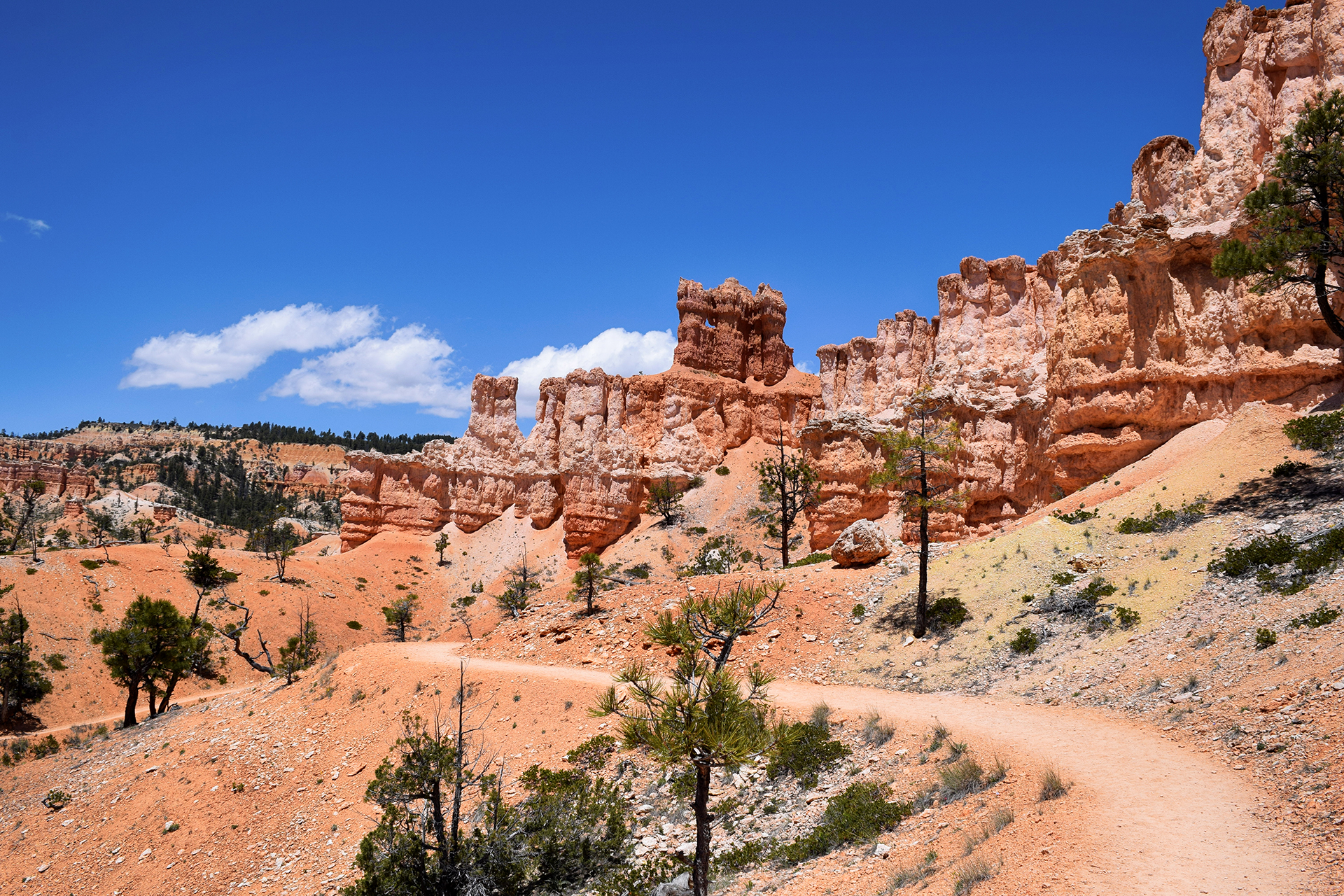
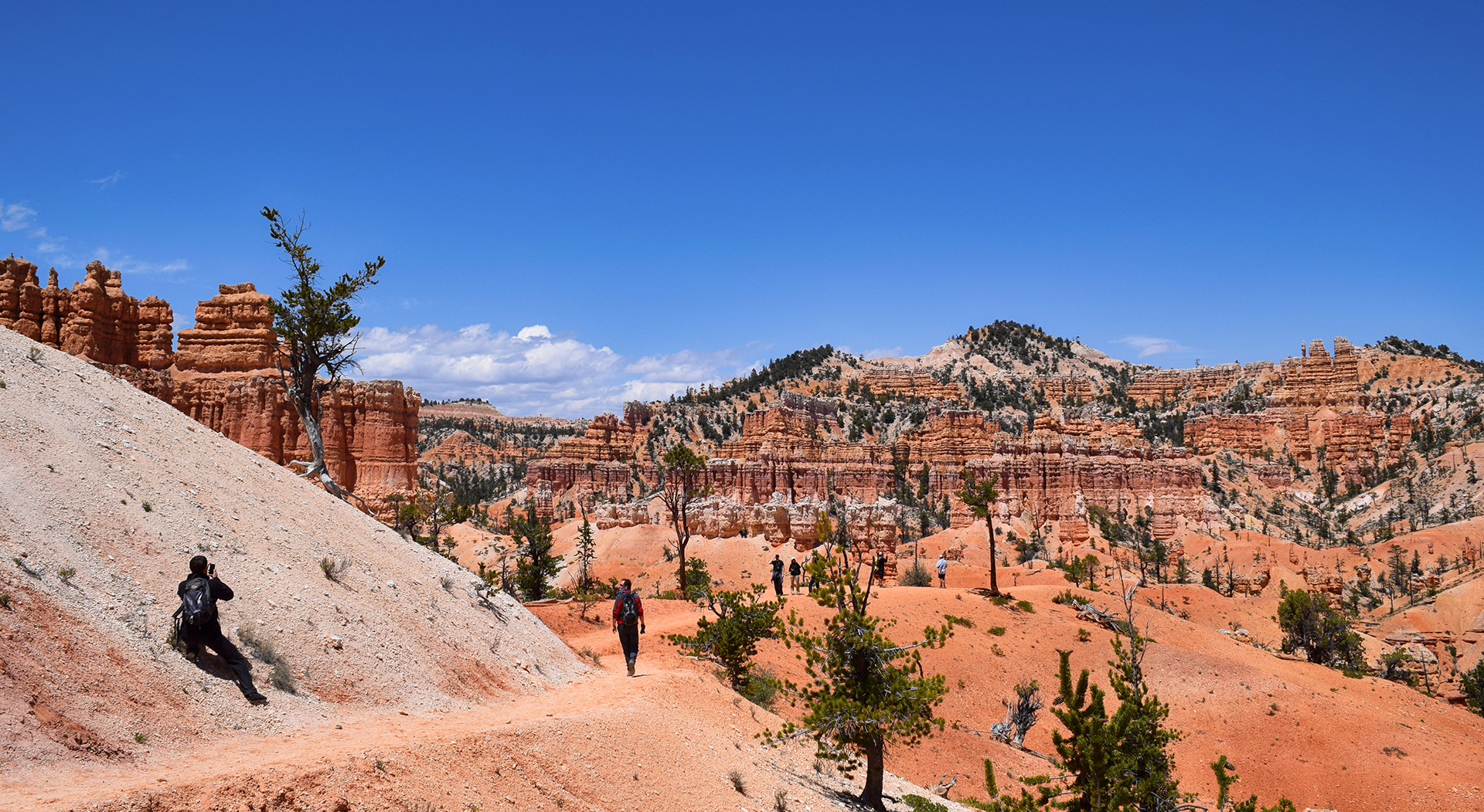
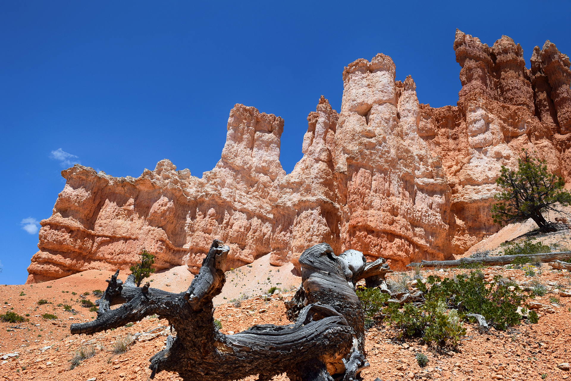
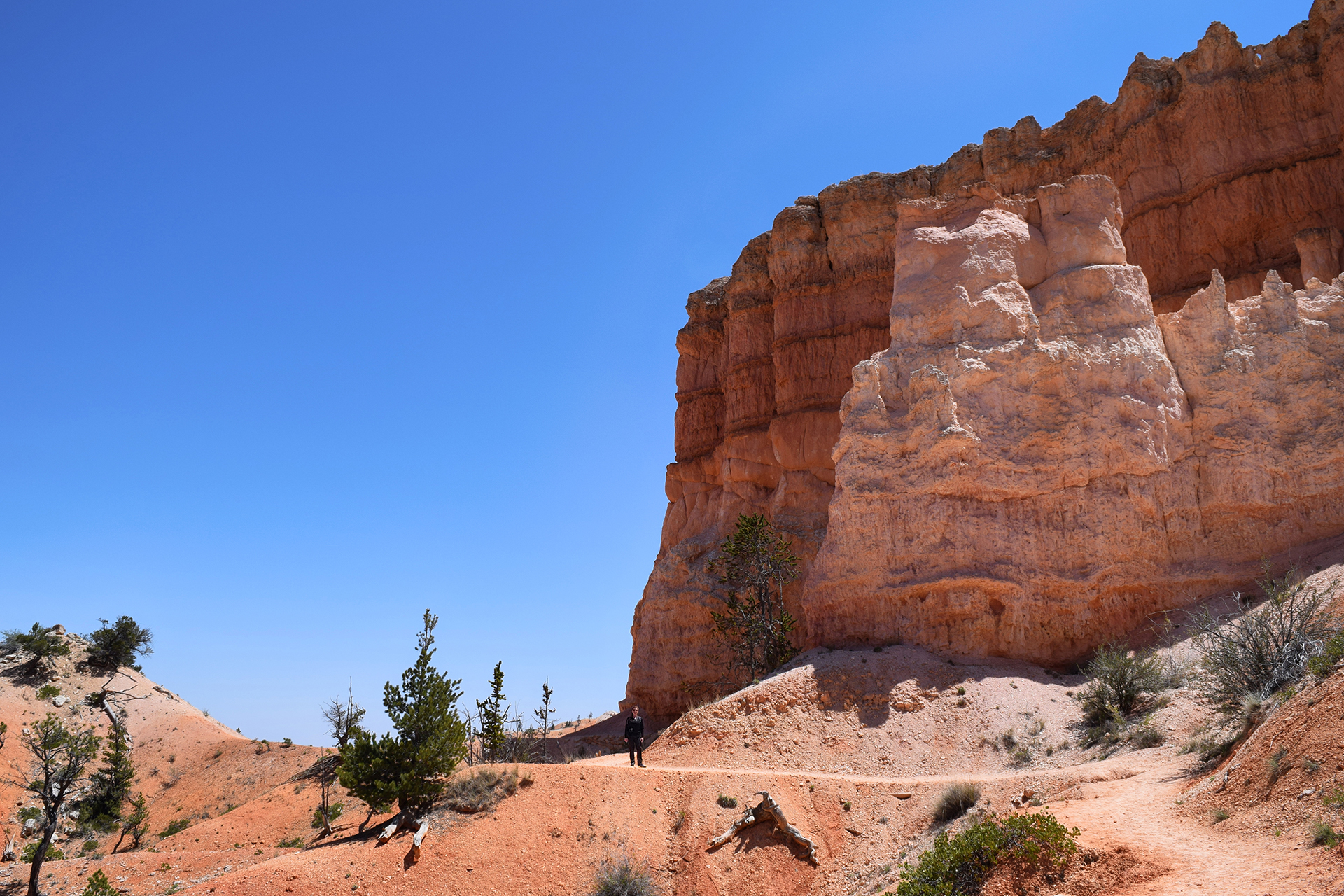
Religious taboos aside, friends, if you ever come to Bryce Canyon (and you should try), please, please, please try a hike down among the hoodoos.  The views from the top are great, but once you get down to the hoodoos’ level, you realize how incredible they really are.

Plus, you never know when you might encounter two other tourists attempting to cram themselves into a single rock window for a photo.

You might even get to take a picture of them while pretending not to notice.

Gnarls Barkley

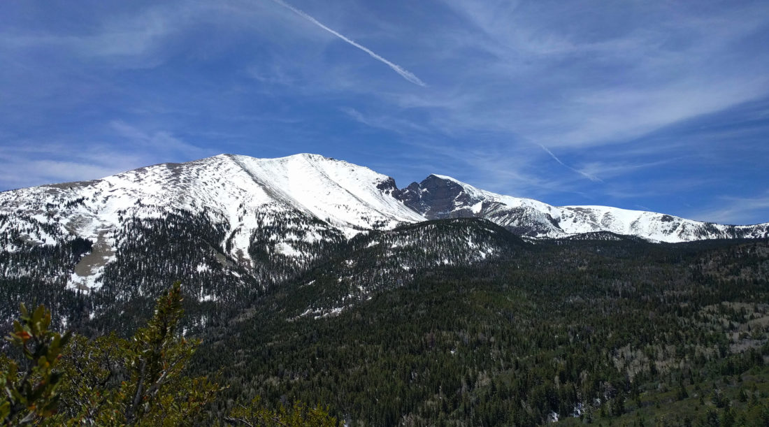
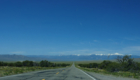
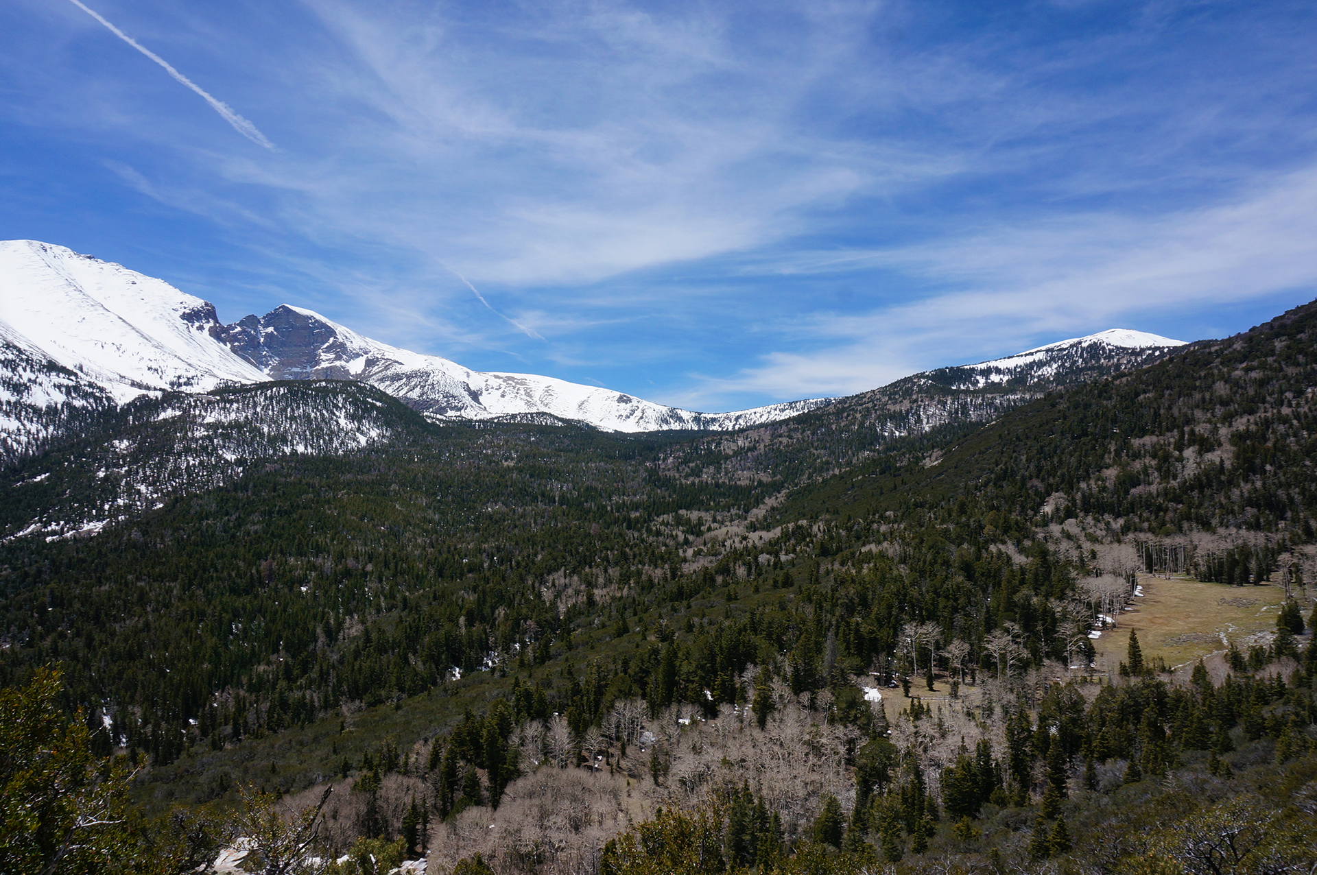
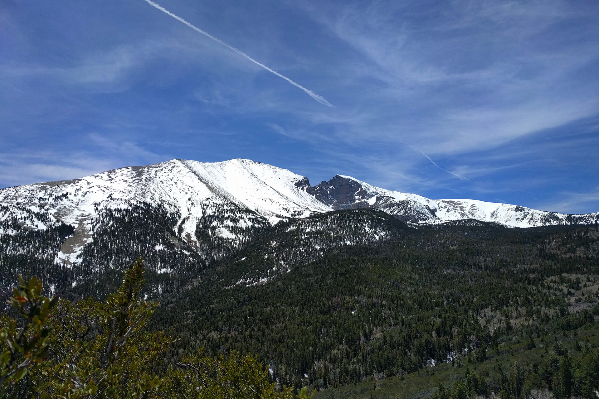
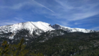
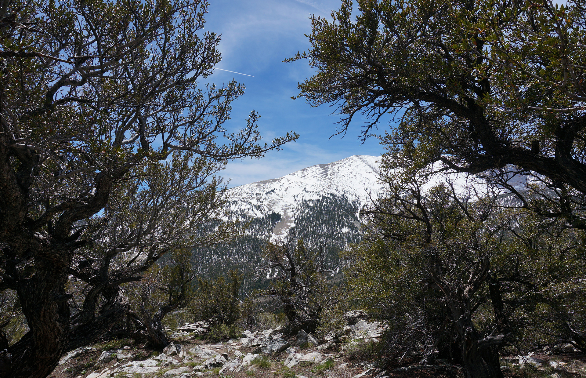
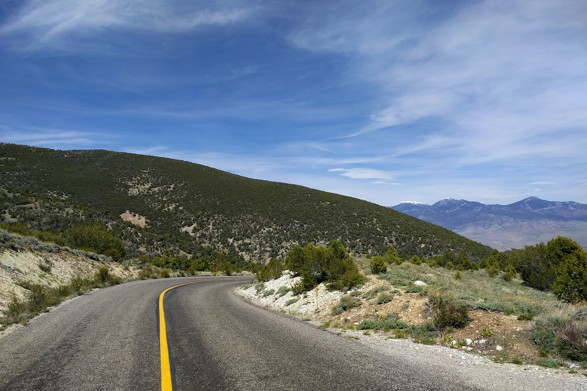
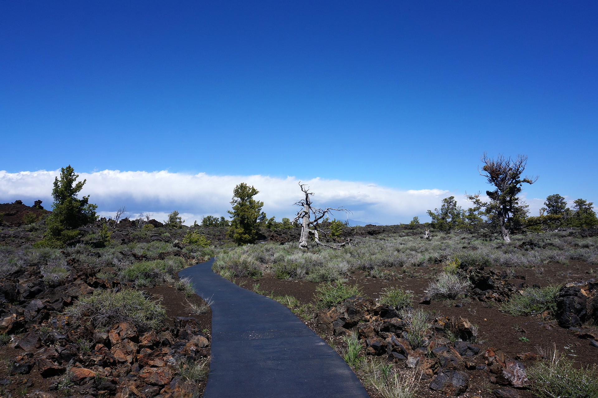
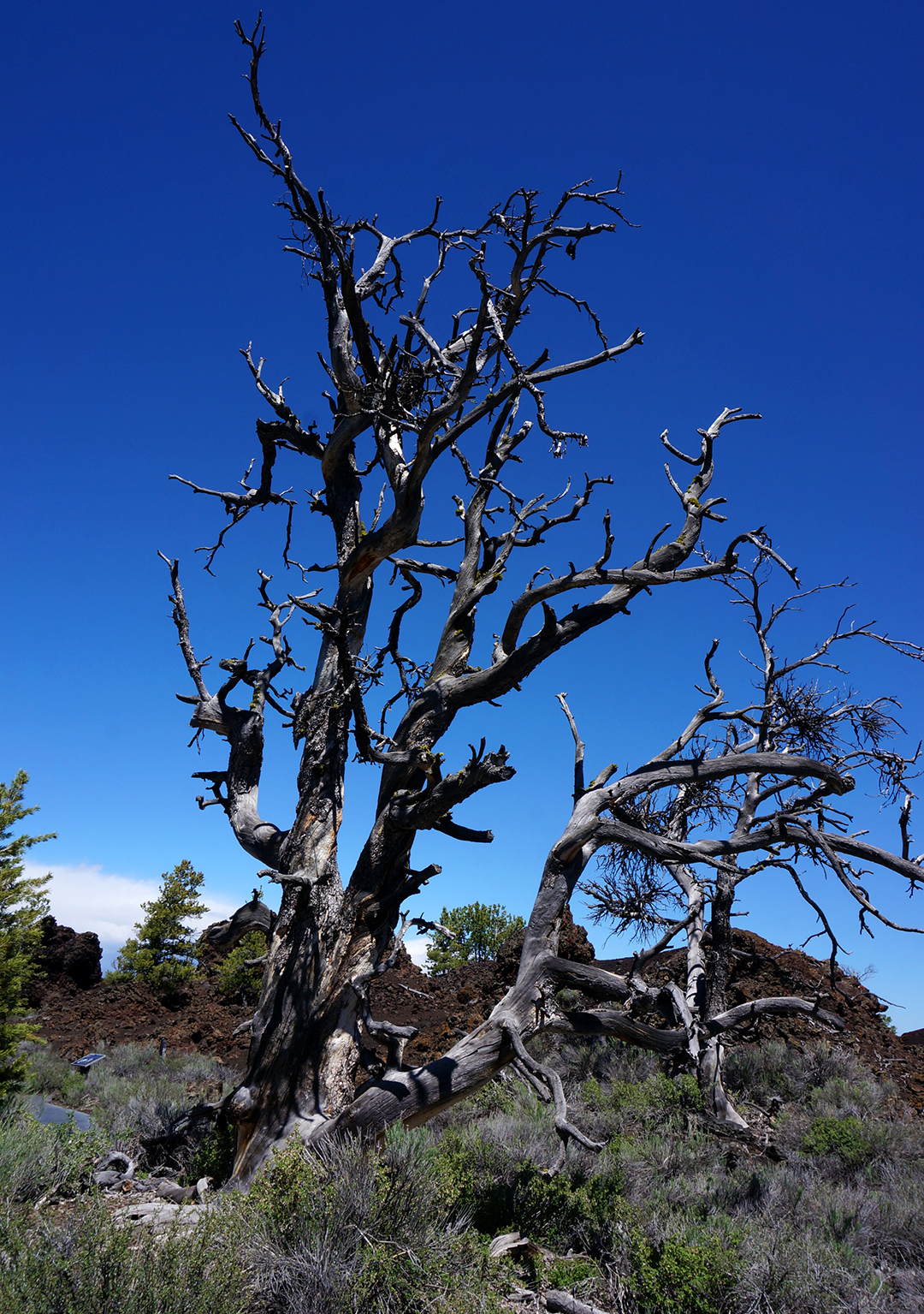
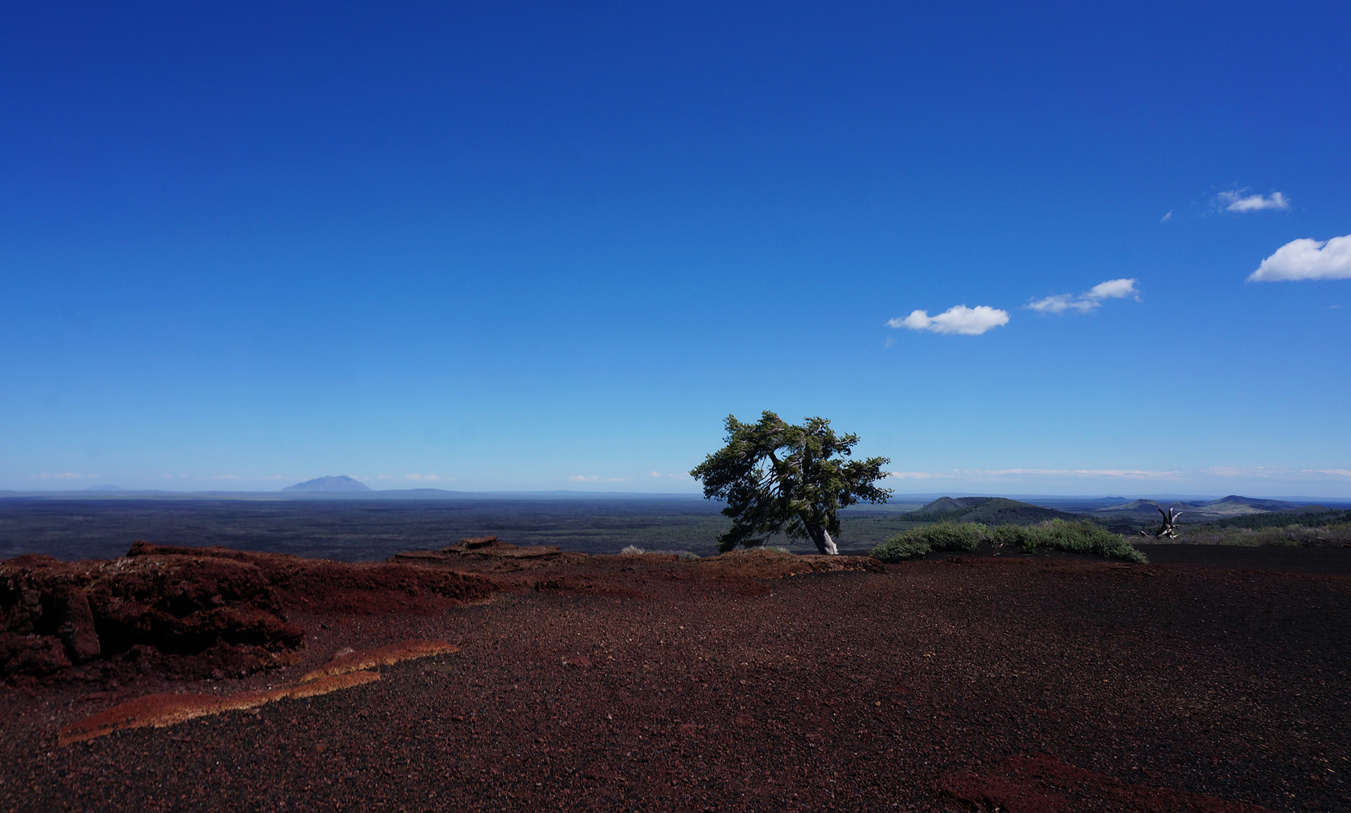
Aside from the hoodoos and the generally beautiful landscape, there is one more awesome thing about Bryce Canyon.  It contains a few bristlecone pines, one of the world’s longest-lived trees.  They are quite rare, and we attempted to see some (without success) at Great Basin National Park. The only place we actually saw any bristlecone pines was at Bryce.  While the Great Basin pines can be up to 5,000 years old, these are only (!) about 1,800 years old.

Stunted, twisted, and with weird bottle-brush needles, they are… not the world’s best-looking tree.  To be fair, we’d all probably look a bit worse for wear if we were nearing the end of our second millennia.

Notes from Bryce Canyon City

We didn’t realize it at first, but Bryce Canyon is very high – the elevation is over 7,500 feet.  The days were sunny and warm, but true to form, it snowed every night.  After spending an entire winter above freezing, we had to get out our winter hat and gloves.  In late May.

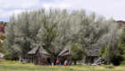
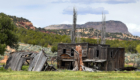
The owners of the combination campground / gas station we were staying at also own a restaurant, and based on internet reviews, we stopped for some pie.  At first, we were distracted by the fact that every worker at the busy restaurant appeared to be directly related.  Then we tried the pies, and we have to say: they really were incredible!  Some of the best we’ve ever had.  They really put the ho-made pies at the Thunderbird to shame.

As a final note, the town of Bryce Canyon City itself was only incorporated in 2007, and the population is only 198 people, making it possibly the smallest town we ever stayed in.

But it does have an airport…

Roadtrip Status

Roadtrip Time Travel

Still alive?  Check.

Where are you now?  Upstate New York.

Next location?  Heading westward one last time, towards Colorado.  Time to have jobs again!

Follow Us On Social Media

FacebooktwitterinstagramFacebooktwitterinstagram

Latest Posts

0

Week 47.2: Zion National Park

Zion National Park is often rated as one of the most beautiful national parks in the country, and with good reason.  Zion is a canyon, or series of canyons, but unlike at the Grand Canyon, you enter from the valley floor.  The valley is lush with greenery, since the Virgin River that cut it still flows through, and if you stand in just the right places, the mountains curve away into the distance in the most breathtaking way.

Our favorite part of Zion were the many beautiful cliffs.  Incredibly tall and sheer, each showcases a stunning gradient of fantastically varied colors.  Zion sits in the middle of what is known as the “Grand Staircase,” a vast rock formation (recently protected as a national monument) which stretches across Utah and Arizona from Bryce Canyon to the Grand Canyon.  The “steps” to the staircase are rock layers – the oldest (bottom-most) rocks at Zion, a dusty vermillion red, are the youngest (top-most) rocks at the Grand Canyon.

As you look up towards the top of the canyon walls, you see ever-changing bands of color that terminate in a beautiful white stone.  In the tallest places, we could even see an eye-popping yellow.  On the top of the Grand Staircase, at Bryce Canyon (coming up next), these white and yellow colors are at the bottom of the deepest cliffs.

Stop – Transit Time

We visited Zion from Kanab, which is a short but not easy drive.  The route requires traveling through the park’s east entrance, an old, mile-long tunnel blasted by the CCC.  The tunnel is quite low and narrow, and it has to be closed to one-way traffic every time an RV or bus goes through, because they only fit if they can drive in the exact center of the lanes.

We were in our car, so we fit fine, but we often had to wait for an RV to pass through.  In retrospect, we wish we had stayed in the town of Springdale, where you can walk directly into Zion. Once you’re in the park, it’s pretty easy to get around – like many heavily-visited national parks, Zion has a free shuttle system to take you to the main sights.  Unusually, use of the shuttle is actually mandatory from spring to fall.  The road into the canyon is closed, and you park on the outskirts and take the shuttle to different spots inside.

Getting around via shuttle can be a little slow, but we didn’t mind.  Zion is a delicate place, and we were happy to help preserve it. As a bonus, we really enjoyed watching the palpable horror some of our fellow Americans felt at having to use public transit.

Razor Thin Margins

There is an incredible amount to see at Zion, with overlooks all over, and it’s a hiking paradise.  We went three times and barely scratched the surface.  In particular, we never got to hike the famous Narrows or the Subway, slot canyons still being carved by the Virgin River.  We really wanted to try them, but the routes were closed.  The river essentially is the hiking (“wading”) trail, and the spring melt had left the water level and flow rates dangerously high.

Don’t worry, we still found plenty of ways to risk life and limb.  We kicked things off with a bang by hiking the also-famous Angels Landing trail, which we knew little about before we started (familiar territory for us).  It starts with a steep, 1,000 foot climb before reaching a plateau with some nice views, and for the adventurous, you can go another half-mile to an incredible viewpoint.

The only catch?  That last half-mile involves hiking on a knife’s edge, with the trail sometimes just a few feet wide, and 1,000+ foot cliffs on either side.  In mountain hiking terms, this is called “exposure,” as in, “you are exposed to dying.”  A single chain acts as both a guard-rail and handhold, but it’s two-way, so you constantly have to let go so people can pass.

Holy hell, that was crazy.  It turns out quite a few people have died doing the Angels Landing hike, something we were happily ignorant of before we started.  It was definitely scary – Jake has spent much of this trip working on his fear of heights, but Angels Landing was desensitization treatment in the extreme.  Even once we reached the top, which was mercifully flat, there was one last walk between cliff-edges, with the wind gusting unpredictably as it tried to push us off.

It was all tiring, and terrifying, and occasionally flat-out insane, but those views…

All worth it.

Bonus story that will make your blood boil: as we headed out into the terrifying chains portion, we passed a family with FOUR TODDLERS coming back the other way.  Like, 3-5 years old, max.  Each one was wearing, essentially, a dog harness, with the leash tied to an adult in the group.  So, points for safety, but we still wouldn’t recommend it.  The kids were clearly exhausted – this was a tough hike for us, and we were pretty much professional hikers at this point – and kept asking when their nightmare death climb would be over (paraphrasing).

Their parents just told them to stop complaining.

Taking It Down a Notch

After our Angels Landing adventure, we decided to lower our risk of death by exploring the canyon floor.  There was plenty to see, most notably the Emerald Pools, a series of waterfall-fed pools that couldn’t possibly kill us.

Except… while looking up the Angels Landing death statistics for this post (5 official, many more unofficial), we discovered that the National Parks Service lists 7 deaths for Emerald Pools, more than for Angels Landing!  The lesson: never go anywhere.

The Emerald Pools weren’t even that photogenic, which is why we aren’t featuring pictures of them here.  We did have a fun encounter, however, when a group of college kids asked us to take their pictures using a ridiculous Polaroid-style camera.  To sweeten the deal, they offered to take a Polaroid of us in return.  So we took their picture and had ours taken in return – and it turns it’s still pretty fun to get a physical picture, even if has an image quality somewhere between “prehistoric cave painting” and “mud stain.”

Up And At’em

For our final experience in Zion, we decided to try another long hike, this time climbing up the side of the canyon wall towards the rim.  It was tough, but the terrain was constantly changing, keeping us entertained.  There were valley views, different valley views, sand, switchbacks, a (sort of gross-looking) reflecting pool, and even a small slot canyon with a talus cave!

After we made it to the top, we walked about a mile along the rim, passing the yellow stone we discussed earlier.  We also took a lot of pictures, snapping them whenever the view down Zion Canyon changed ever so slightly.  (We took over 1,400 photos during our three days here!)  We ended up on a large promontory – the literally-named “Observation Point” – which juts out into the canyon like the prow of a ship.

Standing on one of the highest points in the area, we had an incredible, 360 degree view.

You can see Angels Landing in these photos – it’s the large, fin-like “island” in the valley below.  That’s where we hiked with the chain and the exposure and the toddlers-on-leashes.

Someday, we really hope to do it again.

Roadtrip Time Travel

Roadtrip Status

Still alive?  Check.

Where are you now?  Ithaca, NY, seeing about a million waterfalls.

Next location?  Going down to visit NYC!

Follow Us On Social Media

FacebooktwitterinstagramFacebooktwitterinstagram

Latest Posts

0

Week 47.1: The Grand, Grand Canyon

The Grand Canyon has been the focus of innumerable road trips, and it’s been at the top of our “to-see” list for ages.  In mid-May, we finally got the chance, and we drove 70 miles from our campground in Kanab, Utah to the North Rim.  To be more precise, we went on May 16, which was fortunate, since the road to the North Rim had only opened for the 2016 year on May 15.  We had no idea.

If you ever get to choose, “clueless but lucky” is our recommended way to travel.

Aw, hail

Our drive to the North Rim traveled through beautiful desert landscapes – there are a few national monuments here – and then up, up, up, past grassy meadows and through a pristine alpine forest.  It turns out the road closes because it gets covered with snow: the North Rim is really high.  Like, 8,000 feet in the air high (the better-known, 10x more visited South Rim is about 2,000 feet lower).  There were only two towns in the entire 70 miles, one of which was just some campgrounds and a gas station / general store.

We finally made it to the Grand Canyon just before noon, straining to catch glimpses of the canyon through the trees as we drove.  We parked, walked down, and finally made it to the rim, and…

Holy crap.  It’s incredible.

The canyon is so wide, and it’s so shockingly… colorful.  We’ve seen a lot of amazing sights on our road trip, but the view left us in awe.

We took pictures along the canyon rim for a few minutes, ignoring the light drizzle.  Then, suddenly, black clouds began rolling in.  We were at 8,000 feet, on an exposed, rocky outcropping with sheer cliffs in multiple directions.

“Time to go,” Jake said.

“Just a few more pictures!”  Heather said.

“No,” Jake said again, as the menacing cloud rapidly moved towards us, lightning bolts crashing, “it’s really, really time to go.”  We managed to get back into our car just seconds before a huge, spectacular lightning-hail storm ripped through the area.  It was so fast and furious, we actually got several inches of hail built up on our car like snow!

Now, we normally try to eat our lunch in scenic spots as opposed to, say, the parking lot of the visitor’s center, but something about not being pounded with lightning-hail made our Honda Fit feel like the best place in the world.  As a sweet, cynical bonus, we got to watch a worker across the street spend several minutes trying in vain to cover up a catering cart full of food he was delivering, until he finally gave up, hid under a doorway, and reconsidered his life choices.

Rim Shot

After lunch, full of food but thirsty for hiking, we drove over to the trailhead for the Kaibab Trail, which leads down and across the canyon to the South Rim.  After a mile or so of hiking down the trail, the views were breathtaking.

There were lots of donkeys on the trail, which was fairly entertaining, even though they can make the footing for hikers a little… treacherous.

We talked to a fellow hiker at an overlook, and it turned out he was hiking rim to rim – a 24 mile, single-day death march.  He was part of a tour group, apparently for crazy people, and he was really looking forward to the top, where he had been promised they would have beer.

“Almost there,” we said.

“Everyone says that,” he said.

Then we had to head back.  At 8,000 feet, that meant hiking steeply a few miles back up the canyon, leaving us breathless yet again.

Too many pics

Writing can’t do justice to the Canyon, so we’ll mostly leave the rest to Heather’s pictures.  (She goes through a heroic number for each blog post, but especially for this one.)  Touring the canyon mostly involved driving around and stopping at viewpoints, so here’s Point Imperial, at nearly 9,000 feet the highest point in the canyon.

Eventually, we reached the end of the scenic drive at Angels Window, a hole in a rock outcropping with a viewing platform built right on top.

We walked all around the rim of the canyon here and came away with some truly epic photos.  (Bonus: if you haven’t already, click here to check out a 360-degree photosphere of the Grand Canyon in all its glory!)

We finally headed back to Kanab near twilight.  There were deer everywhere along the road – we probably saw 100 in total – along with lots of tourists, stopping to take pictures of such an exotic animal.  We also nearly ran over a coyote, which trotted halfway across the road, checked us out for a moment as we skidded to a stop… then it just kept going, unimpressed.

Guess it was hoping we were an Acme delivery truck.

Roadtrip Time Travel

Roadtrip Status

Still alive?  Check.

Where are you now?  Pittsburgh, PA.

Next location?  Somewhere else?

Follow Us On Social Media

FacebooktwitterinstagramFacebooktwitterinstagram

Latest Posts

0

Week 47: Kanab, Utah

After a slightly weird caving experience at Great Basin National Park, we continued south through Utah, quickly leaving the interstate behind. Southwestern Utah contains some very rolling hills, and it was a bit of a tense drive before we finally made it to Kanab, Utah. We stayed for nine days in mid-May, mixing some amazing sightseeing with more everyday tasks like laundry and trip planning.

Nothing mundane, of course.  Never that.

Kanab is a small but busy town of only 4,300 people.  As any real estate agent can tell you, it’s all about location, location, location, and Kanab has that in spades. Situated between three national parks (Zion, Bryce Canyon, and the north rim of the Grand Canyon – all coming up next) and numerous state parks and national monuments, the scenery around Kanab is breathtaking. As a result, it’s a touristy place, but in a low-key sort of way, and we found the vibe more charming than annoying.

Kanab UT 1

As in most tourist towns, the residents are enterprising. For example, there is a local newsletter with detailed write-ups on all the area activities, and it runs close to 50 full-length pages. It was quite helpful, but we didn’t realize until later that every article was written by the same woman! Ms. Dixie Brunner, thanks for all the advice.

By the way, despite staying for more than a week, we didn’t even come close to seeing everything.  Touristry in Utah requires some serious time-management triage.

In the 1950s, some similarly enterprising locals convinced Hollywood producers to shoot westerns in the area – including the TV show Gunsmoke. Tipped off by Dixie, we stopped by one of the old sets, now decaying slowly in the desert near some new housing developments. Sort of sad to see, but it made for some cool pictures.

Unlucky Numbers

As the headquarters for several federal park activities, Kanab has the unique distinction of being the location for a very special lottery. Six times a week, tourists gather at 9:00 a.m. sharp to try to win a coveted permit to see The Wave. You’ve probably never heard of it, but you may have seen a picture – The Wave features parallel bands of red and white rock curving gracefully in the shape of… well, a wave.  Here’s a picture from Wikipedia:

TheWave 1600pixels.jpg
[By Gb11111Own work, CC0, https://commons.wikimedia.org/w/index.php?curid=15724006]

There were at least eighty people at the morning lotteries, but only a few winners – only ten people total are allowed to see the Wave each day.  We tried three times, but never won.  Bummer!  At least we got to see something similar earlier in our trip at the Valley of Fire.

Hard Rock Life

With no Wave, we instead took another Dixie suggestion and visited the Toadstools. These are a series of super-cool hoodoos – weathered rock pillars – with caps of harder (and therefore larger) stone on top.

The toadstools were pretty awesome, as was the general landscape.  What really blew our minds, though, was that the toadstools aren’t even a big attraction. There is so much cool stuff in southern Utah that these amazing rock formations barely even merit a parking lot! We would never have known they were there if not for our Kanab newsletter, and we couldn’t help but wonder what else is waiting out there to be discovered. (Answer: a lot.)

BAFFs

Our final stop in Kanab (aside from the national parks) was a pretty heart-warming one. Kanab is the headquarters for the Best Friends Animal Sanctuary, a non-profit group dedicated to ending euthanasia for unwanted animals. Their motto is “Save Them All,” and although they have grown to many locations nationwide, the Kanab facility is the largest and most important. It is their “shelter of last resort,” where un-adoptable animals of any species are sent to live out their days in the peace and quiet of beautiful Angel Canyon – mostly dogs and cats, but also pigs, horses, birds, and more.

We took a tour of the vast sanctuary, and it was really wonderful. Everything is thoughtfully designed with the animals in mind, whether it be bright, airy houses for the cats, or the dozens and dozens of individual and shared runs for the dogs – they have both a “Dogtown” and a “Dogtown II.”

The fantastic trainers work diligently to rehabilitate every animal, even the ones that will never be adopted. Some have physical or mental issues – we saw a volunteer walking one dog which constantly turns in circles as it walks – while others are there for different reasons.  Many of Michael Vick’s abused pit bulls ended up at Best Friends, and we actually got to meet one. She was smaller than we expected, but with an incredibly broad chest and the deepest bark we have ever heard. Like many “fighting” dogs, she actually had a very sweet disposition, but due to court order, she can never be adopted.

So, she gets to live here instead.

Best Friends is the rare kind of place that makes you happy about humankind. But of course this sort of thing happens in a lot of different places, and we’d be remiss if we didn’t mention that Jake’s aunt and uncle in LA, Fran and Bob, foster rescued cocker spaniels for another wonderful charity, Camp Cocker. Despite our cold, cynical hearts, we have to say thanks to Best Friends, Fran and Bob, and everyone who does such amazing work for animals everywhere.

Marketeering

Rather than end on a warm, sappy note, we’ll share one more quick story. After leaving Zion National Park late one night, we grabbed a bite to eat a restaurant just outside of Kanab called Thunderbird, which advertises itself as the “Home of the Ho-Made Pies.”

We just had to try them, but friends, we’re sad to report: those pies appear neither ho-made, nor even homemade!  In fact, we’re pretty sure some of the filling was still in the shape of the Sysco jug it came in.  We were so dispirited we didn’t even get a picture.  To quote Lionel Hutz, “[t]his is the most blatant case of fraudulent advertising since my suit against the film The Neverending Story.”

Ah, well.  We figured we’d just have to eat some more pie in the future to make up for it.  (Spoiler alert! We did.)

Roadtrip Time Travel

Roadtrip Status

Still alive?  Check.

Where are you now?  Pittsburgh, PA, beginning the job search process.

Next location?  We’ll be in Pittsburgh for a while, for once.

Follow Us On Social Media

FacebooktwitterinstagramFacebooktwitterinstagram

Latest Posts

0

Week 46.2: Great Basin National Park

After a short-but-sweet visit to Salt Lake City, we headed south along I-15. It was smooth sailing through the valleys between Utah’s many mountains, but we soon turned off towards the west, to the tiny town of Delta, UT – population 3,500. Delta is at the absolute end of civilization, sitting on the edge of a vast desert wasteland.

On the other side of that wasteland? Our destination, Great Basin National Park.

Mad Max: Utah

“Great Basin” is the name of a national park, but it really describes a much larger area. The Great Basin is a desert, and it encompasses almost all of Nevada and some of surrounding Utah, Idaho, and Oregon. Situated between the Sierra Nevada and Wasatch mountain ranges, the Great Basin is unique because it drains internally – none of the (little) water flows out to any ocean.

Great Basin National Park is in Nevada, 100 miles from Delta, but with a speed limit of 80 mph, it wasn’t such a long drive. It certainly was memorable, though. The terrain was utterly fascinating, a unique and alien landscape which defines “barren.” There are no towns in that 100 miles, frankly no people at all, and the desert was often utterly flat and empty. Then, out of nowhere, we would encounter a shimmering salt lake or a jagged mountain range – which we would zoom by, and then back to nothing.

It was a good place to pretend to be in a Mad Max movie. Also: thank goodness for podcasts.

Oldies But Goodies

Aside from cinematic fantasies, the reason we made the trek through the wasteland was to see the world’s oldest trees – Great Basin’s bristlecone pine trees. Bristlecone pines aren’t particularly lovely – they’re small, twisted, and gnarly – but they are particularly good at surviving. Their age was actually unknown until 1964, when a grad student cut one down and counted the rings.

And discovered he had killed a 4,862 year old tree, one of the Earth’s oldest.  Whoops!

Today, bristlecone pines are better protected, but we never actually got to see them. Even though it was mid-May, the mountaintop where they live was still closed due to snow. (In fairness, that mountain is 9,000 feet high.) We had to settle for some amazing views from a nearby overlook.

Underground Vandalism

With no bristlecone pines, we decided to visit the other major attraction at Great Basin, the Lehman Caves. We’ve been lucky enough to see some beautiful caves on this trip – most notably the Caverns of Sonora – and the Lehman Caves could have been one of the best.

Sadly, however, they have been horrifically defaced. The original owners of the cave used to sell stalactite pieces to visitors, so many of the features are clipped off halfway down. In another room, visitors were encouraged to leave their name on the ceiling via candle burn marks. The ranger leading our tour suggested that the defacement of the caves created a new cultural significance, but we couldn’t help but feel sad for what was done there.

Speaking of the ranger, here’s a story that we just have to tell. The ranger leading our tour, Ranger Steve, was a seasonal ranger, meaning he had only recently arrived to work during the summer season. Steve was friendly and started out strong, but over the course of our ninety minute tour, his discussions gradually became more and more rambling.  By the end, he was almost incomprehensible.

That was strange, but things soon got stranger.  Our group ended up heading out of the caves around the same time as another group. The ranger of that group (lets call him Alan, because we don’t remember) asked Ranger Steve if they should merge the groups. Steve seemed genuinely terrified to answer and deferred to Alan, who then took charge of both groups. As we walked out of the cave entrance, Alan thanked everyone for coming and suggested we all come back for another tour sometime.

Which sounds innocuous, except that what Alan actually said was that we “should come back sometime and get a different experience with a different guide,” while staring directly at our (Ranger Steve’s) group.  The implication was clear: Steve was the worst, and we should try again sometime with someone else.

Ranger Steve just stared at the ground and said nothing.

Friends, this raised so many questions. Was Ranger Alan doing some sort of subterranean bullying of Ranger Steve? Or maybe Ranger Steve really was a terrible ranger, and even he knew it? Was Ranger Steve even a ranger?

So strange. The last puzzle piece of weirdness, though, is that all of this was only Jake’s experience. Heather didn’t observe any of these interactions between the rangers. Her experience was just that Ranger Steve and Ranger Alan were both “very nice.”

So… did any of this even happen?  Or was it all some kind of cave madness?

Was Ranger Steve even real?

We may never know.

Roadtrip Time Travel

Roadtrip Status

Still alive?  Check.

Where are you now?  Still in Pittsburgh, moochdocking with friends.  Thanks, Jamie and Chris!

Next location?  Dunno.  We are beginning to regret including this field in each blog post.

Follow Us On Social Media

FacebooktwitterinstagramFacebooktwitterinstagram

Latest Posts

0

Week 46.1: Salt Lake City

In mid-may we traveled southeast from Twin Falls, headed for Salt Lake City.  It was a long day’s drive, but for once, we didn’t mind the distance.  We were finally in Utah! The Promised Land of our road trip, mountainous Utah is home to five national parks, numerous state parks and national monuments, and – indisputably, in our opinion – the most beautiful scenery in the continental United States.

We spent a month in Utah, beginning in mid-May, and we took a lot of photos – a whopping 8,633, to be exact.*  It’s a mind-blowing place, and we are pretty excited to finally get to share it with all of you.  In fact, 11 of our next 13 blog posts are about national parks – so stay tuned.

* Heather deals with all the photos for our blogs (Jake does the writing), so… sorry, dear.

Mountain Temples

The drive to Salt Lake City is absolutely stunning, in every direction.  The city sits on a broad plain, but it’s surrounded by mountains, especially to the east.  Of course, being Utah rookies, that’s exactly where we had made reservations to stay.  We didn’t realize it when we booked our site, but our campground – located in nearby Park City – was at more than 6,100 feet!  Salt Lake City is only at about 4,000 feet, and there was a LOT of vertical climbing to get up to our spot.  Luckily, our RV made it just fine, and we got to enjoy staying in a beautiful Utah state park, one of the nicest we had seen since Elephant Butte Lake in New Mexico.

We took a day trip down from the mountains to visit Salt Lake City, the last large city we would see for two months, and we actually came away pretty impressed.  The city itself is clean and pretty, with lots of trees for shade and intentionally wide streets.  There were a lot of people on bicycles – always a good sign – and even some hipster types, with piercings and tattoos and beards.  That was a little surprising to us, because Salt Lake City is the center of the Mormon world, and they are a particularly clean-cut group.  If you didn’t know, Utah is something like 98% Mormon – primarily because nobody else wanted to live in what used to be an unforgiving desert.

As the headquarters of Mormondom, there is a lot of work and money put into the city.  It’s particularly concentrated in and around the Mormon Temple, a beautiful series of structures with exquisite landscaping.  Some areas were off-limits to us heathens, but frankly, the outside was pretty enough to satisfy.  And we weren’t the only ones who liked it – we counted at least six wedding photo shoots in the half-hour we were there.

We had planned to tour inside the Tabernacle, a round dome with perfect acoustics.  Jake visited as a child, and vividly remembers sitting in the back seats and hearing a pin drop on the altar.  However, we got a little scared off, and never went in.  See, every tour comes with a recruitment pitch, and, well… Heather isn’t great at saying “no.”

We’re happy with our current religious status (and we like alcohol and caffeine), so we skipped out on the tour.  With some time to kill, we instead headed out to the beach.  The Great Salt Lake isn’t the ocean, but it’s as close as you’re likely to find in the interior of the country – big, blue, and briny.

There wasn’t a lot to do there, though, so we headed back into the mountains.  We spent a few hours touring Park City, a classic ski town.  This is where the 2002 Olympics were held, and while the Olympic Village is now just big box stores and coffee shops, many of the athletic facilities still exist.  Unfortunately, the Olympic Park was still closed for the season – we were there one day early! – so we didn’t get to try out any of the attractions, like the zip line that runs down along the ski jump ramps (!!).  D’oh!

Stymied, we drove over to the older part of Park City.  It was actually quite cool – or, in what we can only assume is the local parlance, “chill, brah.”  There were lots of charming little shops, and the whole area reminded us of a Swiss ski town named Zermatt we visited a few years ago.  There weren’t a lot of people around yet, but we found something better than people: a brewery serving real beer!

If you’ve never been to Utah, you might not realize how exciting this is – even in bars, beer sold in Utah is typically 4.2% alcohol (or lower) by law.  Drinking a glass of the good (read: strong) stuff while relaxing on a mountain patio was a rather nice way to finish the afternoon.

As a bonus, as we walked back to our car, we found some street art, courtesy of the one and only Banksy!  We were amused (but unsurprised) to find it protected by glass and a metal frame.

Planet Utah

That was pretty much it for our first visit, but our tour of Utah was a big loop, and we returned through Salt Lake City a month later.  We had originally planned to go back to the Olympic Park, but the vagaries of RV campsite reservations left us north of SLC, in Ogden.  We took advantage of our new location to visit Antelope Island State Park, a large island in the Great Salt Lake connected by a causeway.

The island was beautiful.  It’s surprisingly mountainous, and many locations offered striking views of the water and Salt Lake City.  We intended to hike up to the peak at the center, but… it was hot.  Really, really hot.

So, we cut our hike short to go wildlife watching.  A herd of bison roams free on the island, and they are fun to photograph.

While we were watching and taking photos with our zoom lens, we got to see a real Planet Earth moment.  A coyote came out of the brush and approached one of the young bison, obviously hoping for a snack.  However, a full-grown bison noticed and charged full-steam at the coyote, which wisely retreated back into the brush.  You can see this below – the coyote is the blotchy grey spot in the lower left.

The coyote wasn’t going home empty-mouthed, though, and it trotted over to a different part of the herd, prowling around while two bison eyed it.  It was hard to see what happened next, but the coyote must have found a bird’s nest in the tall grass, because suddenly some birds started swooping at the coyote aggressively!  Unfortunately for the birds, the coyote didn’t seem too bothered, and we’re guessing it ended up with some eggs or chicks for dinner.

Good for the bison, good for the coyote, bad for the birds.  Nature can be rough.

Roadtrip Time Travel

Roadtrip Status

Still alive?  Check.

Where are you now?  Pittsburgh, PA, seeing some friends and family and living in denial about the end of our road trip.

Next location?  TBD as always.  Upstate NY, maybe?

Follow Us On Social Media

FacebooktwitterinstagramFacebooktwitterinstagram

Latest Posts

0

Week 46: The Reverse Oregon Trail to the Moon

We first arrived at the Pacific Ocean in late January, and it was a constant companion for months.  But in early May, we finally hit our northward limit near Seattle, and it was time to hitch up our wagons, turn the corner, and bid a sad adieu to the West Coast.

We drove southeast across Washington, Oregon, and Idaho for two long but beautiful days, and it was fascinating to watch the terrain change before our eyes.  As we crossed the spine of the Cascade mountains, the pristine evergreen forests suddenly disappeared, turning into scrubland that reminded us of West Texas.

As it turns out, while western Washington is the wettest place in the country, the eastern parts of Washington and Oregon are high deserts.  Fresh off of redwoods and rainforests, it was a sudden transition, but a welcome one – because the desert is freaking awesome.

Grueling Pace

We covered a lot of ground in two days.  Our first night was spent at a Wal-Mart near La Grande, Oregon, an area which seemed pretty empty even to us.  The Wal-Mart parking lot was quite popular, though, especially among travelers – so much so that there was actually a placard where we parked our RV suggesting things to do in the area.

The next morning, we stopped at the excellent National Historic Oregon Trail Interpretive Center in Baker City, which was filled with cool displays about life on the actual Oregon Trail.  Sadly, there were no monocolor terminals available to play the original game (which we have a “slightaffinity for), but it was fascinating nonetheless.

Here’s a fun fact we’re pretty sure we saw here: people constantly tried to bring their 1,000+ lb cast iron stoves in their wagons with them, only to have to abandon them along the trail because of the weight.  A local entrepreneur realized this and began collecting the stoves from the trail, then bringing them back and selling them to new trailgoers, thereby creating his own, stove-based internal economy. Smart!

After checking out the museum and learning some interesting tidbits, we went outside and took a short hike through the blazing desert sun – still weird to think about in Oregon – for some pretty scenery…

… and a view of the actual wagon ruts from the actual Oregon Trail!

Wait, the actual Oregon Trail?  From the 1850s?

Well, that’s what they claimed, but upon reading the fine print, we discovered they were “reproductions” of where the wagons would have rolled.  Eh, close enough.

Fording the Snake River

After the Interpretive Center, we headed along essentially the reverse path of the old Oregon Trail.  Southern Idaho is basically one big mountain range with a giant valley cutting a pass through it – you can see it with Google Earth – and there’s really only one sane way to go across it.  We used the same way the settlers did, just slightly more easily.

We stopped for a few days in Twin Falls, Idaho, in the center of the valley.  We aren’t sure what we expected from Idaho, but it was surprisingly prosperous and normal.  We stocked up on supplies (but no cast-iron stoves), ate at a restaurant called Jakers (!!), and found out that there actually are two waterfalls in Twin Falls.

Oh, and the falls are spectacular.

Shoshone Falls claims to be the “Niagara of the West,” which is pretty questionable considering there were like 20 people there (and no casinos).  That said, it roars with some serious force.  The Snake River Canyon that it sits in is no slouch, either – a full mile wide, Evel Knievel once tried to jump the gorge on his “specially engineered rocket motorcycle,” but he failed when his parachute opened immediately on takeoff.  (A bummer to be sure, but it definitely could have been worse.)

The whole gorge area was extraordinarily beautiful, including the other waterfall and the Perrine Bridge crossing the chasm.  We really knew nothing about Twin Falls and didn’t expect to wander into something like this, but that’s basically why the West is awesome.

Crater Faces

The one thing we did expect to do in Twin Falls was visit Craters of the Moon National Monument, and it didn’t disappoint.  The “craters” are just remnants from an ancient lava flow, but they look otherworldly, especially in a setting like Idaho instead of Hawaii.

The lava field shown above is the North Crater Flow, and it’s only about 2,000 years old – a baby, really.  The oldest lava fields in the park are around 15,000 years old, and although they are currently “dormant,” they are expected to erupt in less than a thousand years. We thought about waiting around a couple hundred years to watch, but alas, our roadtrip schedule was unforgiving.

While the lava fields were pretty neat, our favorite feature of the park was the cinder cone. Inferno Cone is essentially a 160 ft tall sand dune made out of volcanic ash.

The only downside, and it was a big one, was the ungodly strength of the wind that day.  It was constant and oppressive.  Climbing up the Inferno Cone required pulling our hoods down and walking nearly parallel to the ground.  And since the ground was literally ash, we were under constant assault from airborne particles seeking to make their way into our eyes, ears, noses, and especially mouths.

Got some cool pictures, though.

After recovering from the volcanic ash pelting, we moved on to check out the Spatter Cones, the “Old Faithful” of Craters of the Moon. It’s pretty obvious why:  Old Faithful spews out hot water every 35-120 minutes, while the Spatter Cones spew out hot lava every… well, 500-3,000 years.

OK, maybe the comparison is a bit overblown.  Still, the Spatter Cones were pretty neat, and frankly, this is one eruption we’re thankful not to have seen in person.

The final feature at Craters of the Moon were lava tube caves. We really wanted to explore them, but it required a little hike to get to the caves, and we had hit our limit of bone chilling wind and volcanic cinders raining down on us.  The lava tube caves will have to wait for our next cross-country RV road trip.

On our way out we snapped a few more pictures.  Even the side of the road was cool.

Chekhov’s Interpretive Center

Whew!  This was a long blog post.  [Ed. note: Heather really loved Craters of the Moon and made that section approximately 800 times longer.] But hold on for one more second, because we’re about to tie this entire thing together with a bow.

Remember how we started this post with the Oregon Trail? Well, just outside of Craters of the Moon is a rather pretty area known as Goodale’s Cutoff.

Pioneers on the Oregon Trail used Goodale’s Cutoff, an alternate route along the trail, to skirt the lava flows and avoid potential Shoshone Indian attacks along the Snake River. The Cutoff paralleled the Oregon Trail for some distance, before rejoining it in… Baker City, home of the Oregon Trail Interpretive Center!

And so, just like the moon’s orbit, we have come full circle.

Roadtrip Time Travel

Roadtrip Status

Still alive?  Check.

Where are you now?  Indiana Dunes State Park, near Chicago, seeing lots of old friends.

Next location?  Still TBD.

Follow Us On Social Media

FacebooktwitterinstagramFacebooktwitterinstagram

Latest Posts

0