Week 54: Glacier National Park: Part 1

Glacier National Park is the best place in the country.

That is a bold statement, to be sure.  And we can’t deny that the Grand Canyon is vaster, Yellowstone more unique, and the Redwoods more majestic.   However, we accrued a certain level of expertise in our travels around the United States, and we feel confident saying that Glacier beats all of them.  If the national parks are the gems of the United States, Glacier is the crown jewels.

The views were jaw-dropping and the hikes were the best we’ve ever done.  We spent a long time here, and we missed it as soon as we left.

Long RV Runnin’

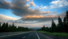
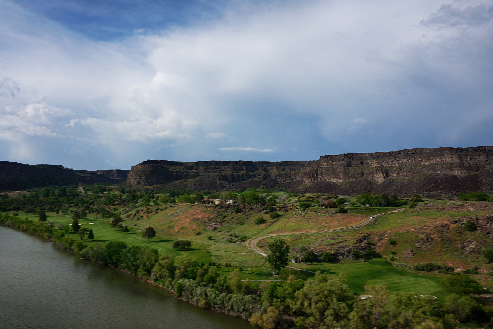
Glacier is in the extreme northwestern corner of Montana, very close to the Canadian border.  It’s not the easiest place to get to.

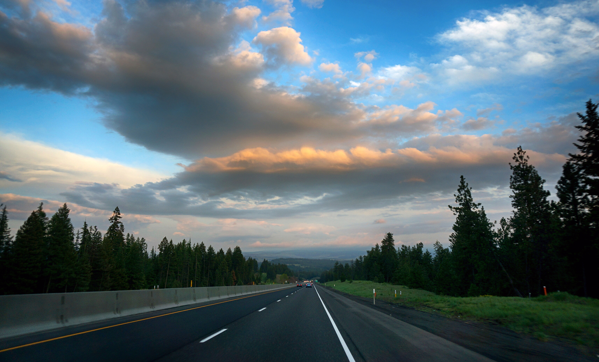
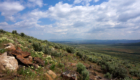
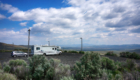
We drove up from near Bozeman, Montana.  It was a long but beautiful drive around pristine Flathead Lake.

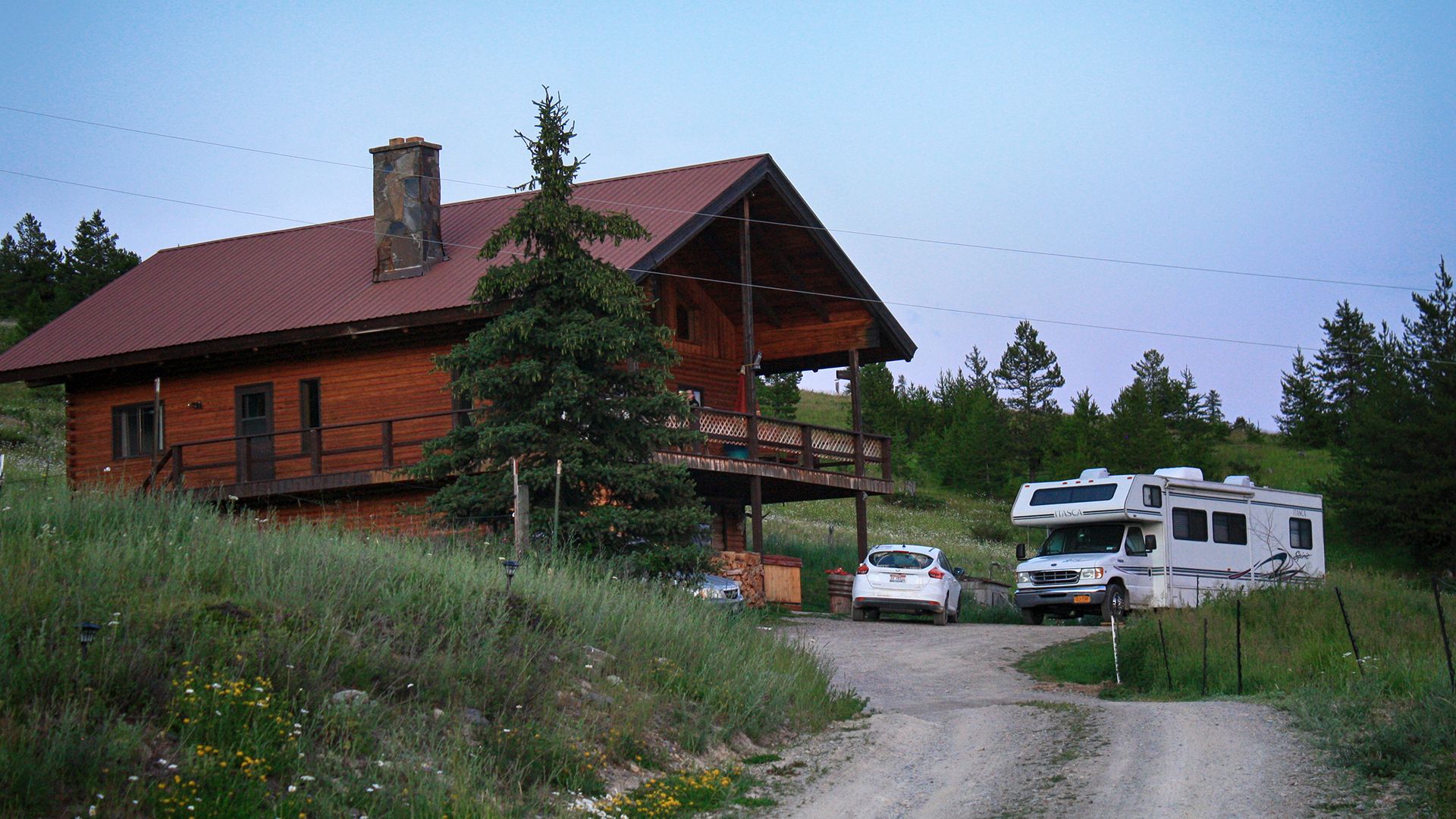
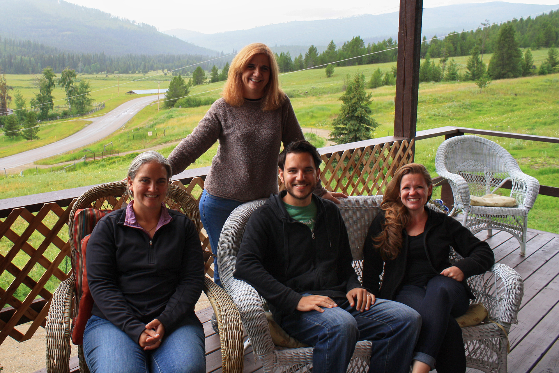
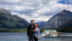
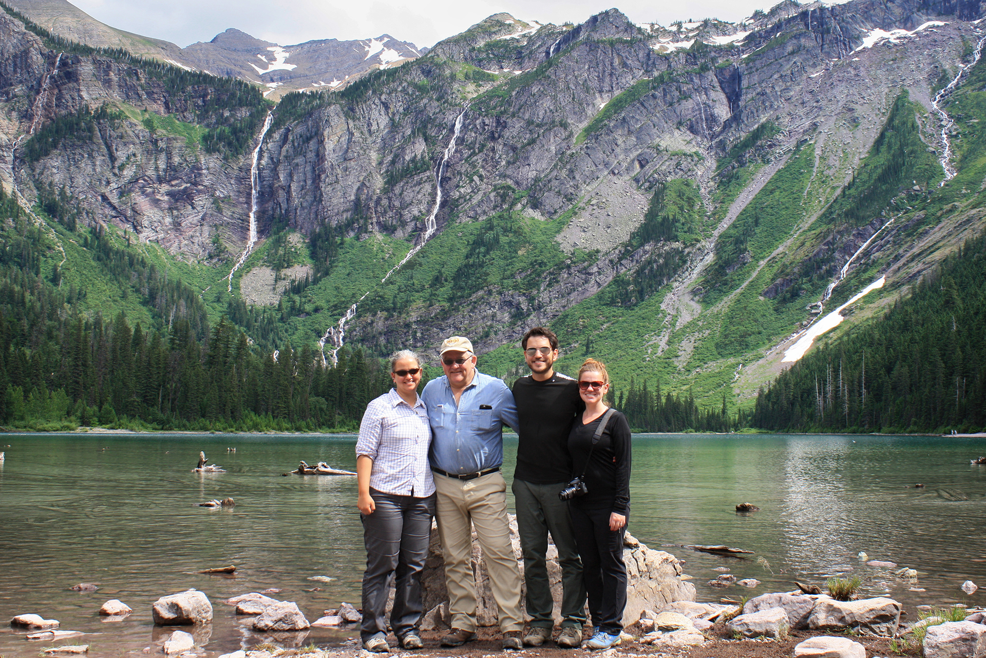
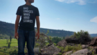
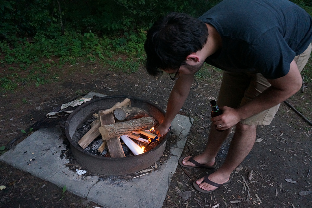
This was a very exciting trip for us because Jake’s family met us there!  Jake’s mom Ginny, his dad Jack, and his sister Kate have all made previous appearances in this space.  This time, we rented a house for a week and had a fantastic (but way too short) time in the outdoorsy perfection that is northwestern Montana.

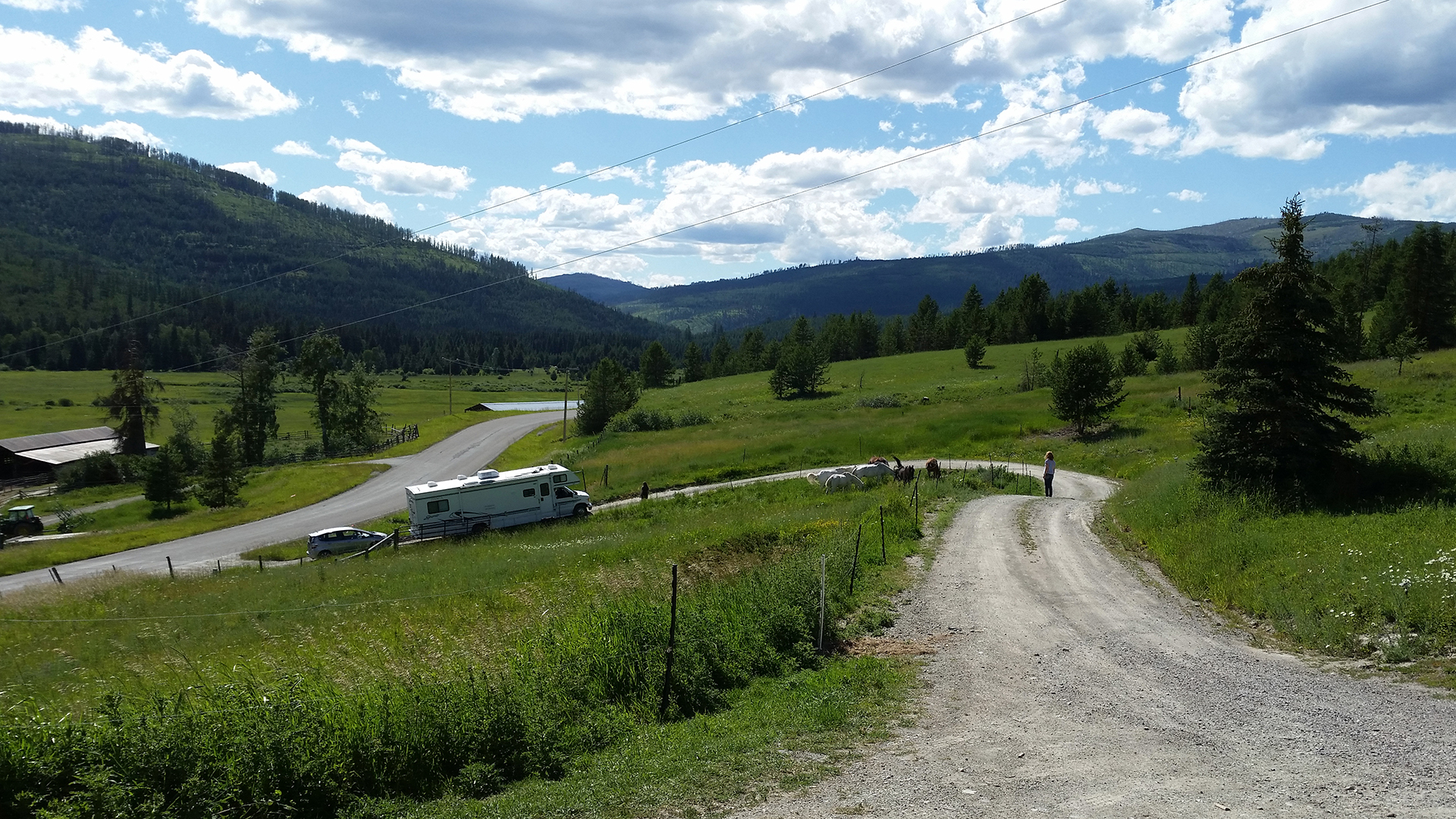
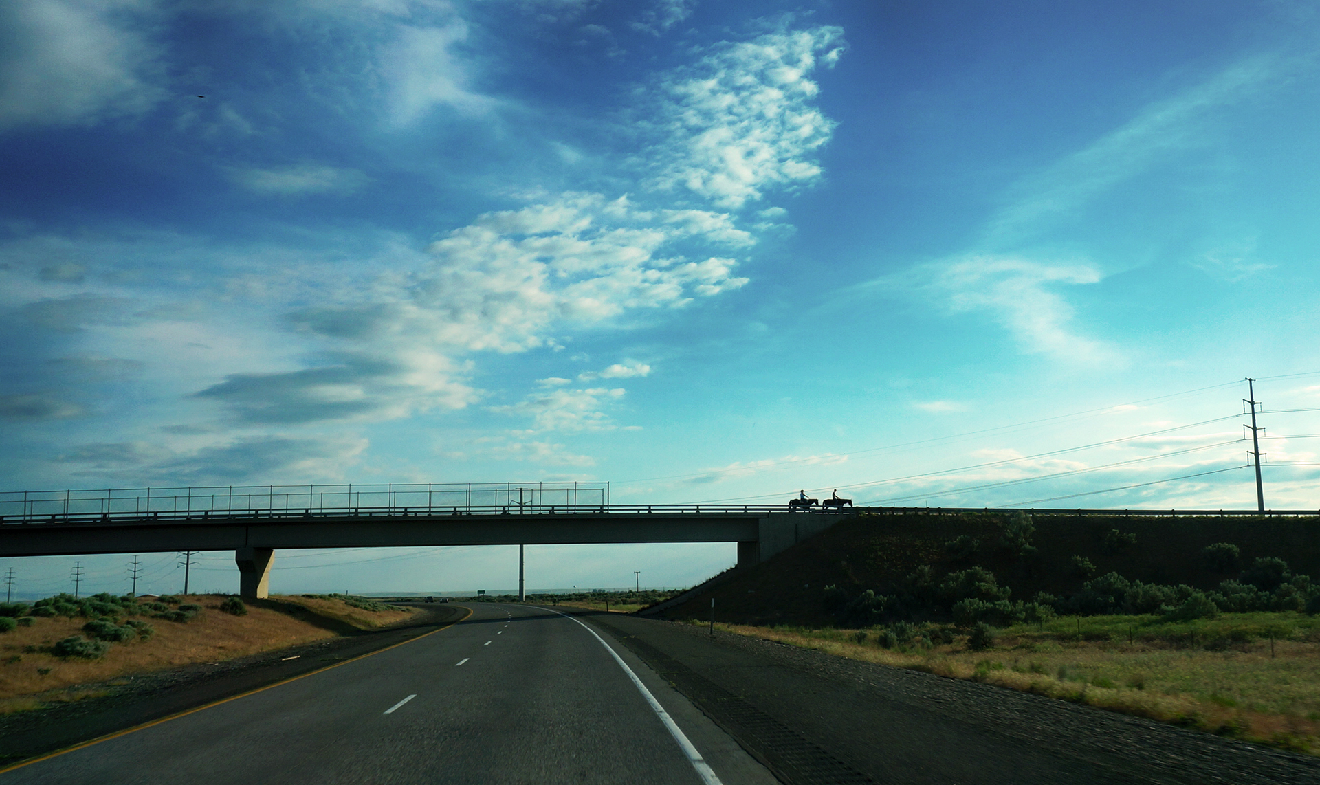
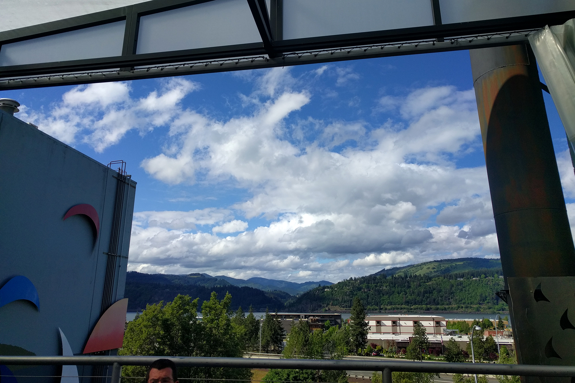
Speaking of outdoorsy, it turned out the house was out in the boonies.  We were a little further away from the entrance to the park than we expected (about 45 minutes), but such is life.  However, Jack, coming in a rented vehicle, did come surprisingly close to dying in the wilderness when Apple Maps sent him down a wrong turn.

He was less than 100 yards from the house when it sent him the wrong way – but a long, long, long way from cell service.

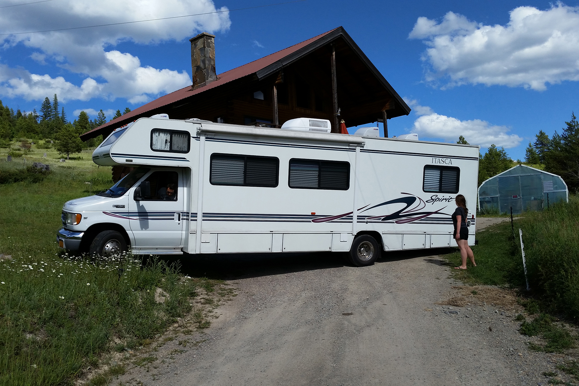
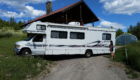
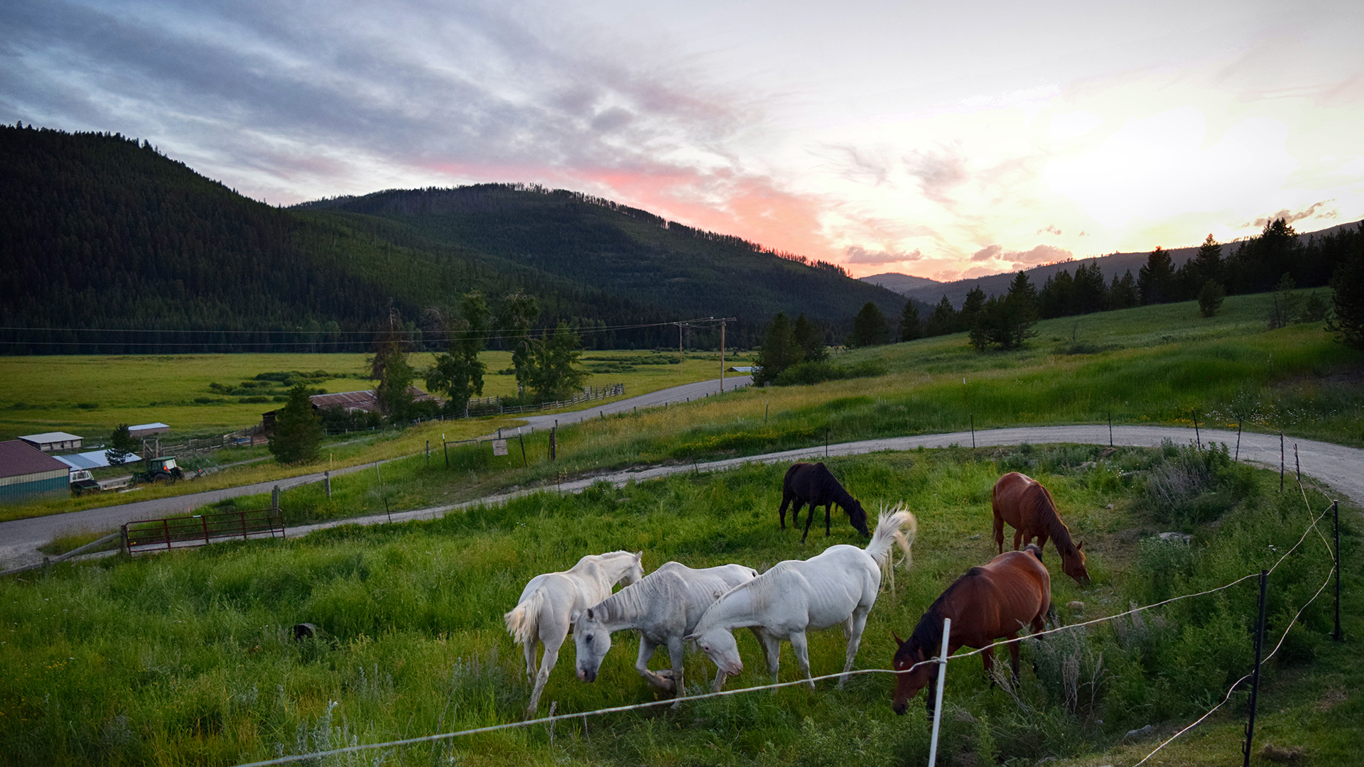
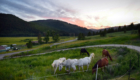
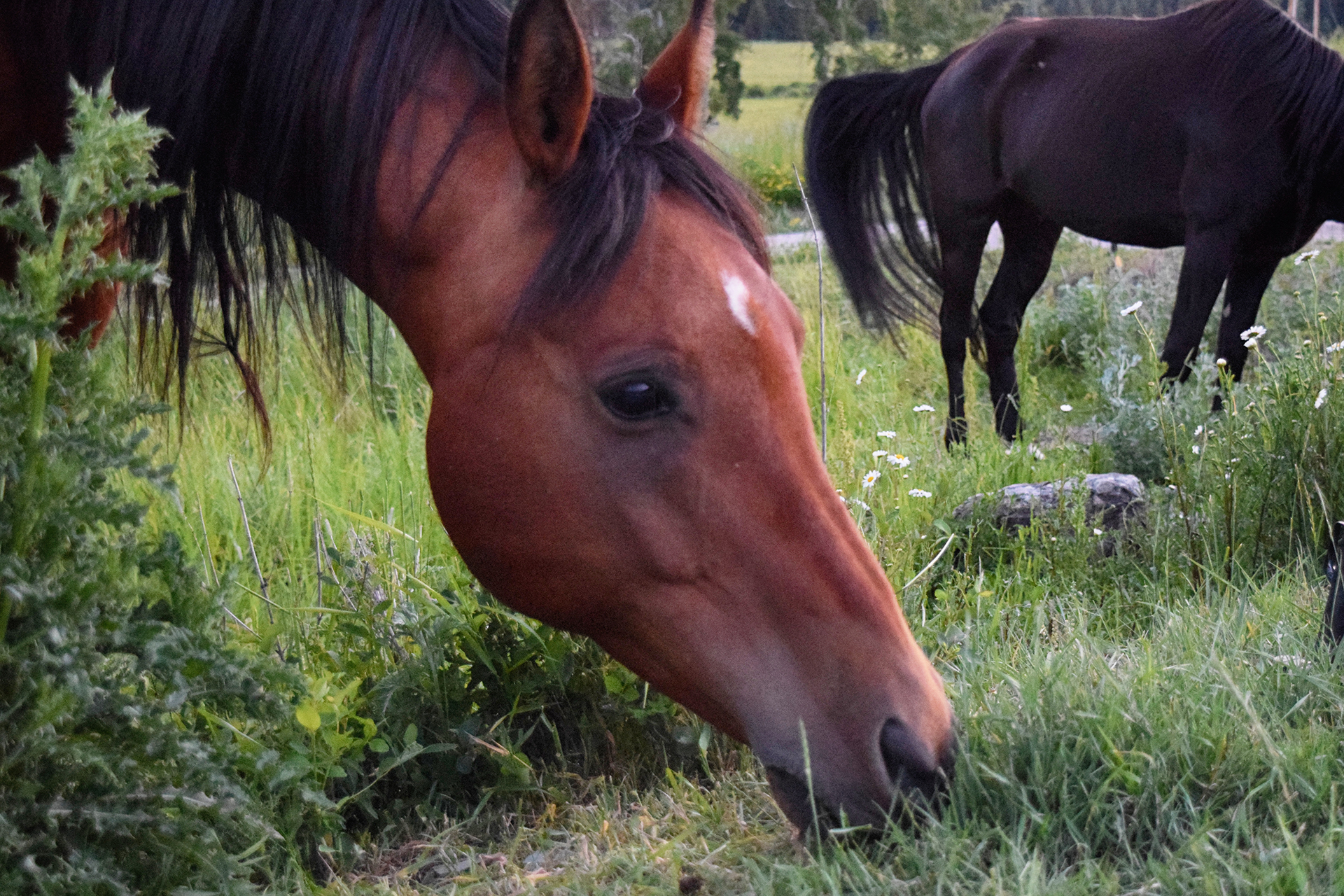
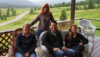
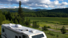
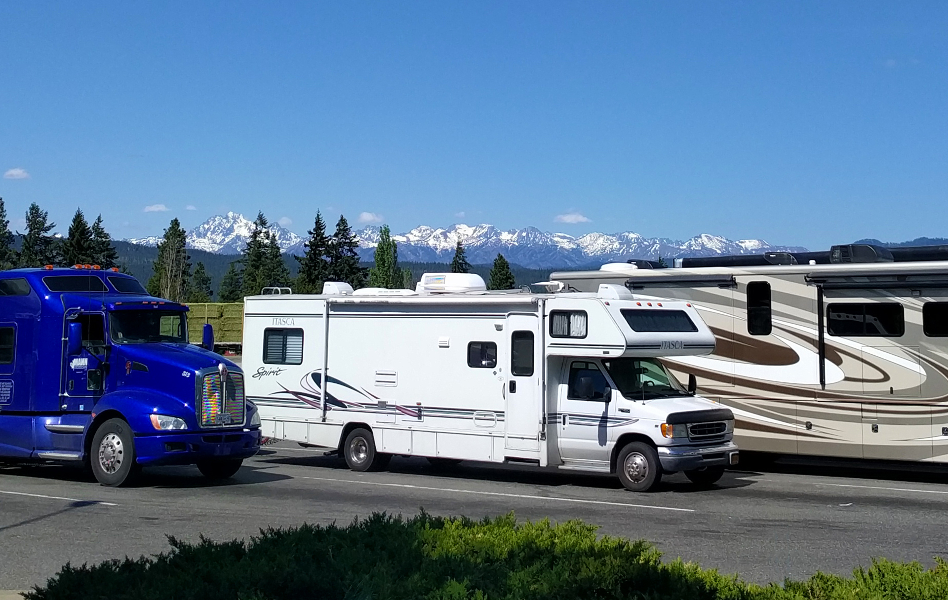
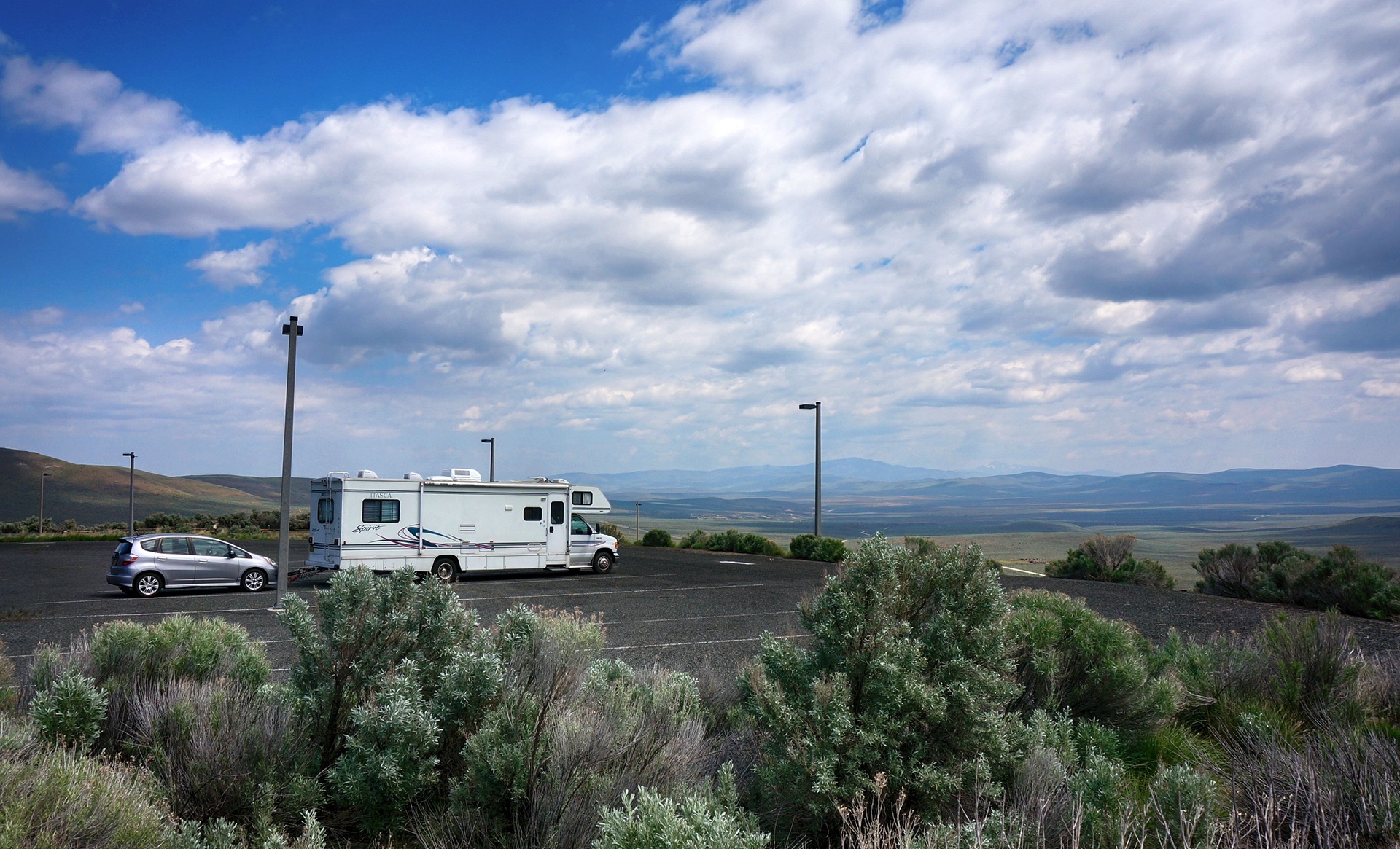
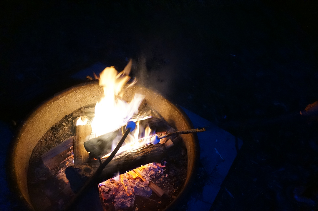
We arrived late in the afternoon, and after some slope-based difficulties turning the RV around (see pic below), we managed to get it parked in the driveway for the duration of our stay.  The owner of our house was a cowboy, as all Montana residents are, and there were quite a few horses staying in the yard right outside.

Heather later discovered that the horses stayed behind the thin, wire fence because it is electrified.  She would prefer that we not mention how she discovered that.

We had been on our road trip for just over a year at this point, and were starting to feel decidedly feral.  Aside from a brief meetup with some folks we met online in Moab, the last time we had seen anyone we knew was in Seattle, two months prior.  A week of actual human contact, plus the magic of long, hot showers and stable WiFi, was just the thing we needed for the home stretch.

Stairway to Heaven

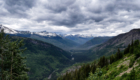
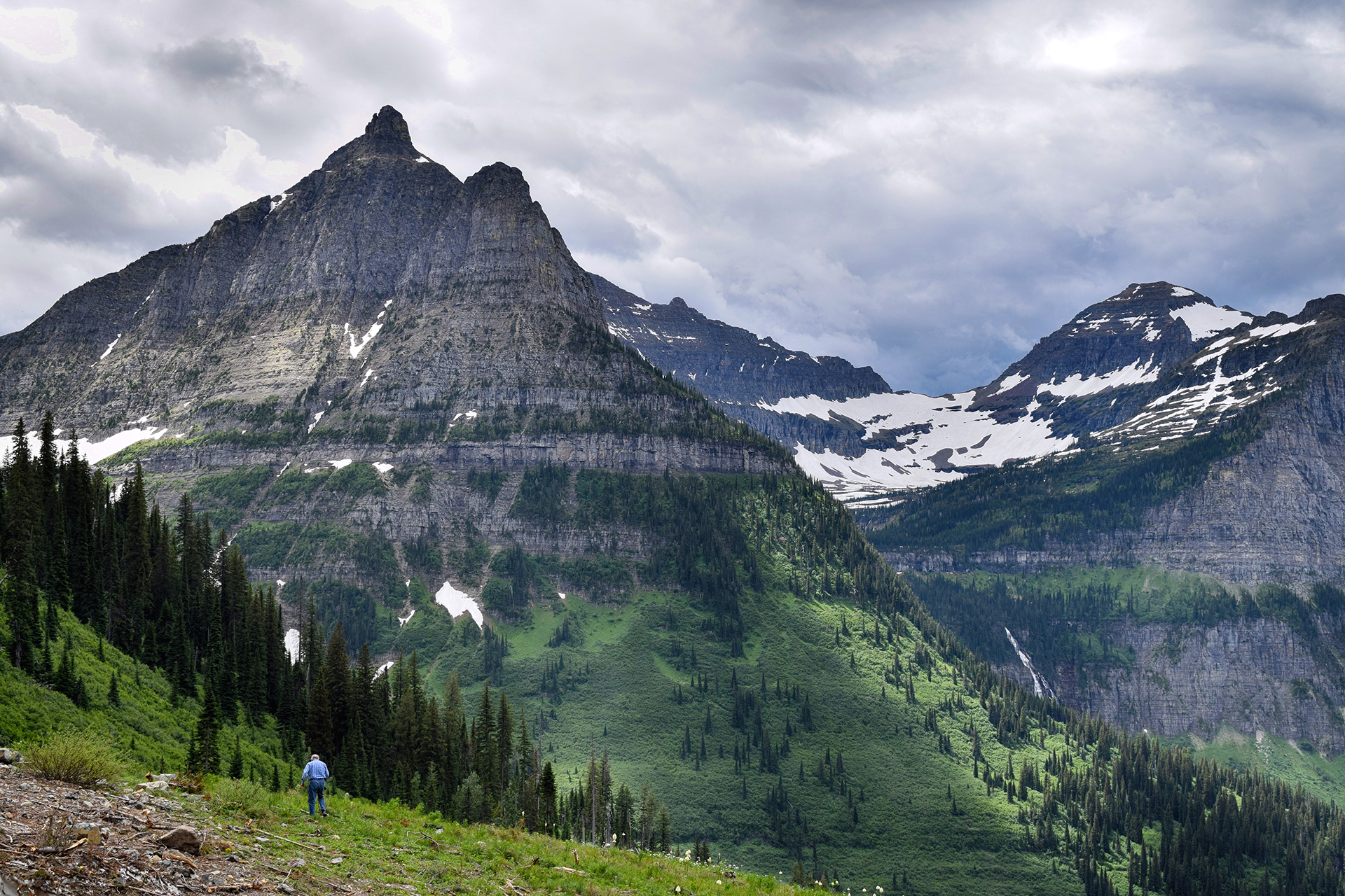
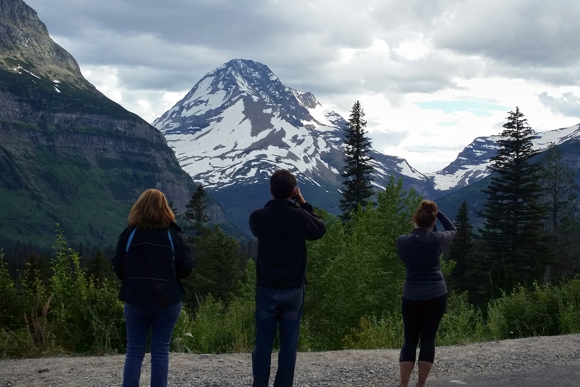
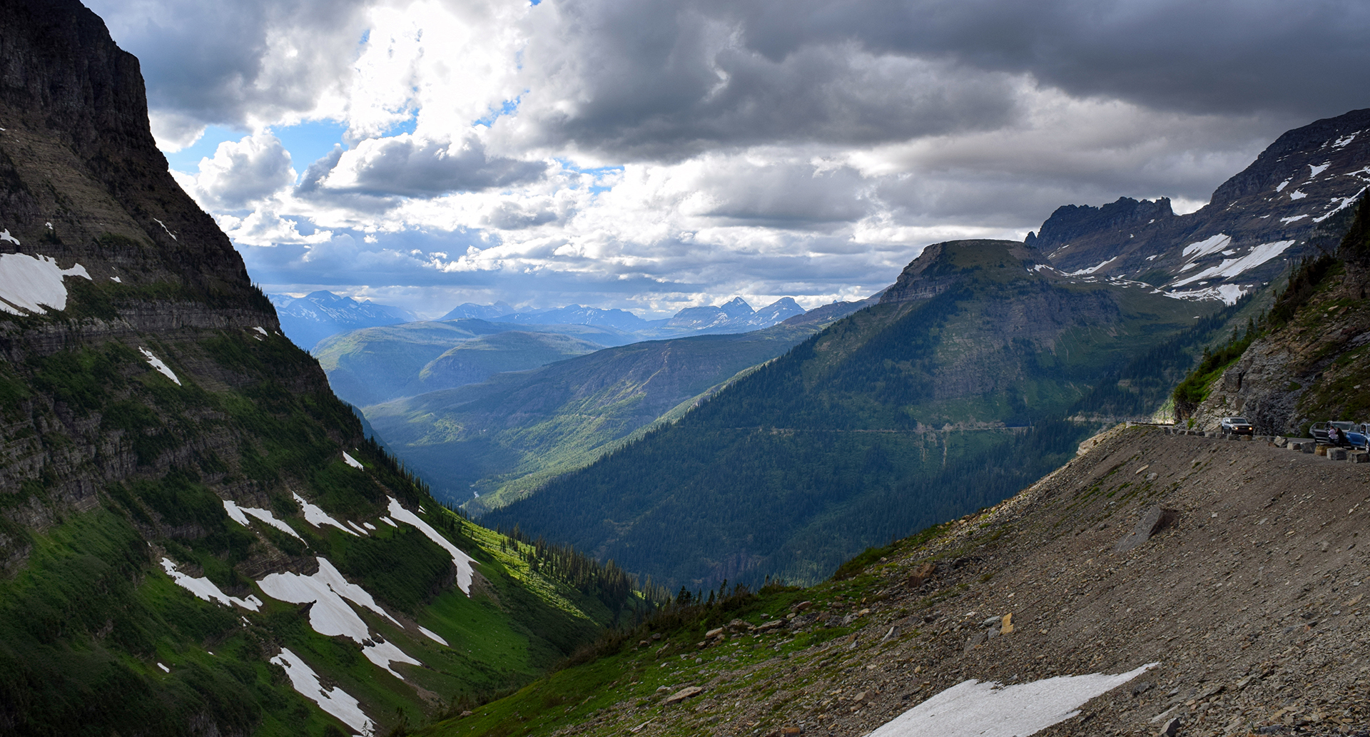
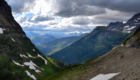
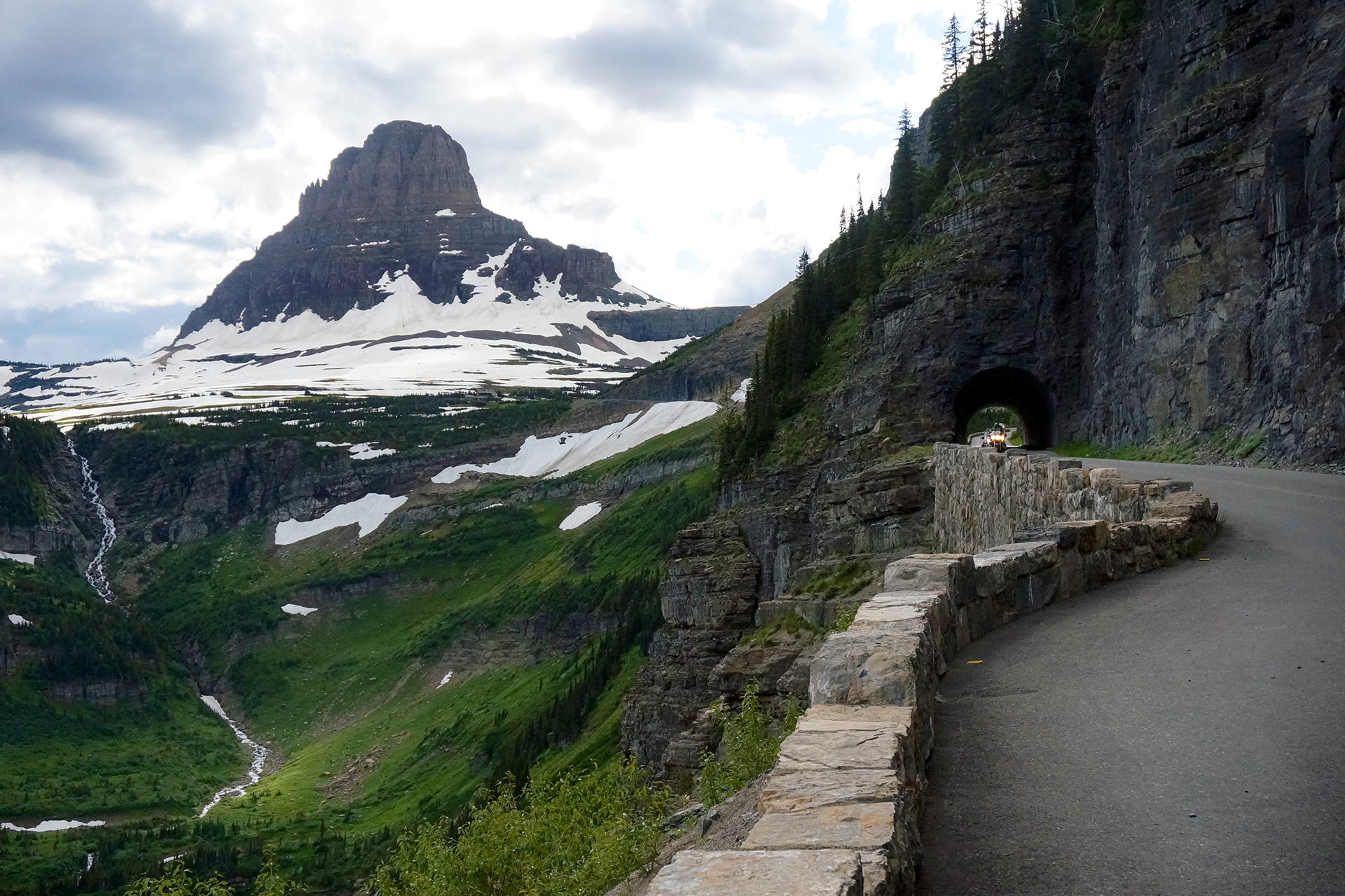
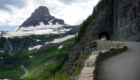
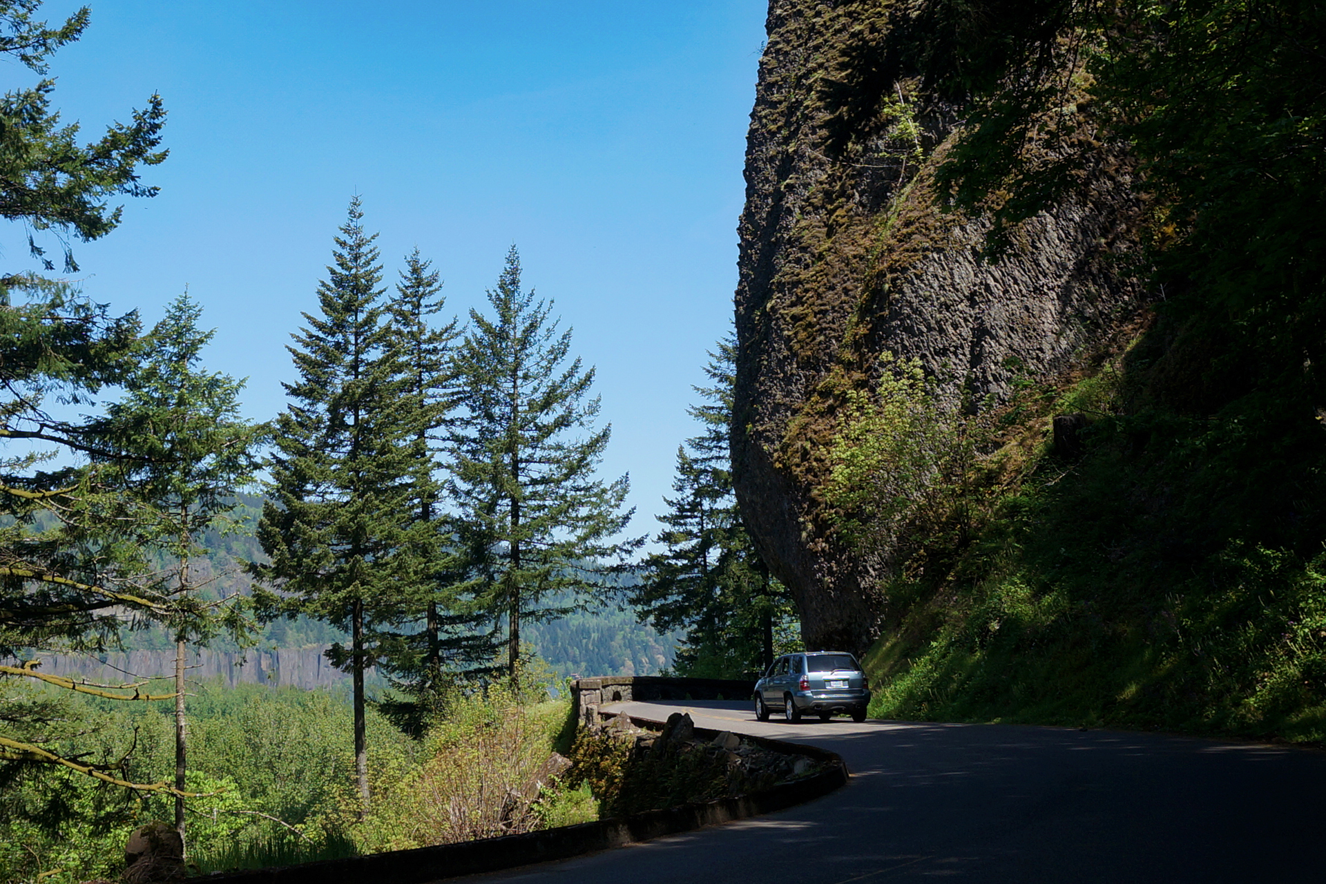
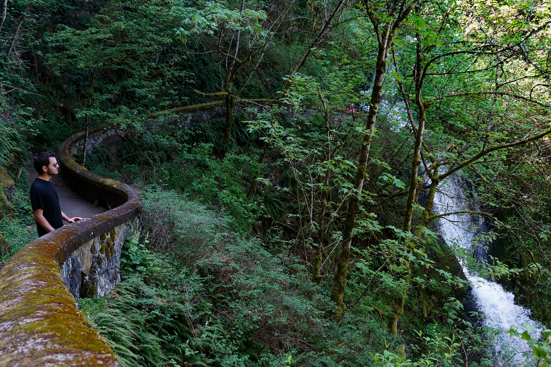
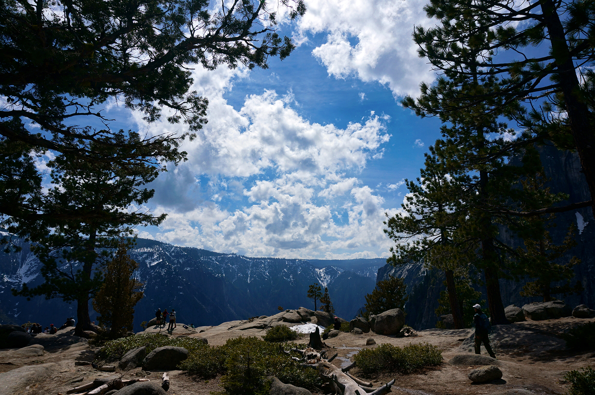
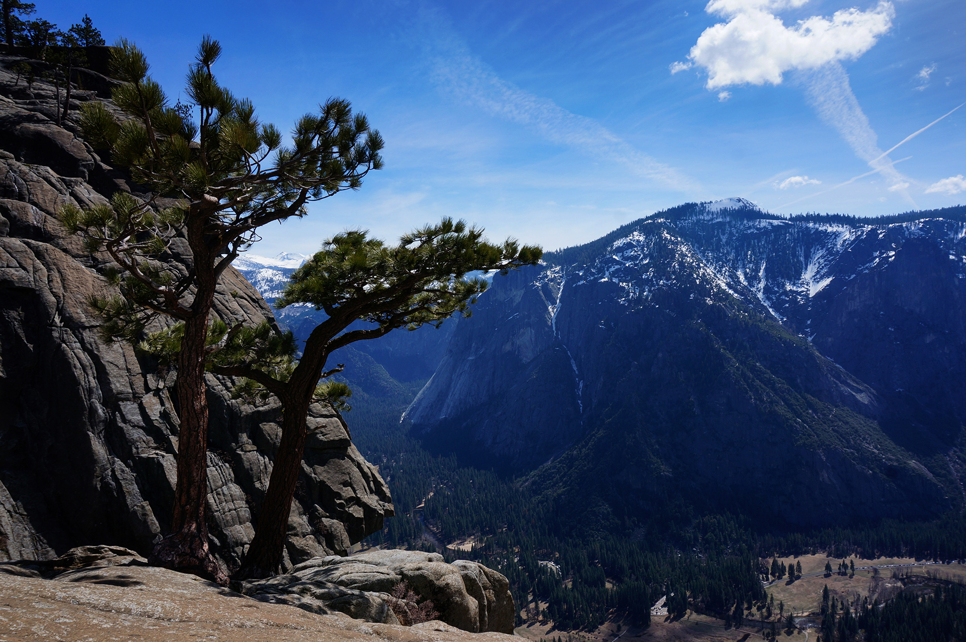
The main attraction at Glacier is the road that cuts through it, called Going-to-the-Sun Road.  The name is either based on a Native American legend, or completely made up to sound fancy, because history is whatever you want it to be.  More to the point, the road is freaking amazing.

Going-to-the-Sun Road hugs the mountain on an incredibly long, curving climb that offers spectacular views.  (You can view Google’s satellite render here.)  The mountains here are jagged and indescribably beautiful, banded with bright colors and painted with forest and snow.

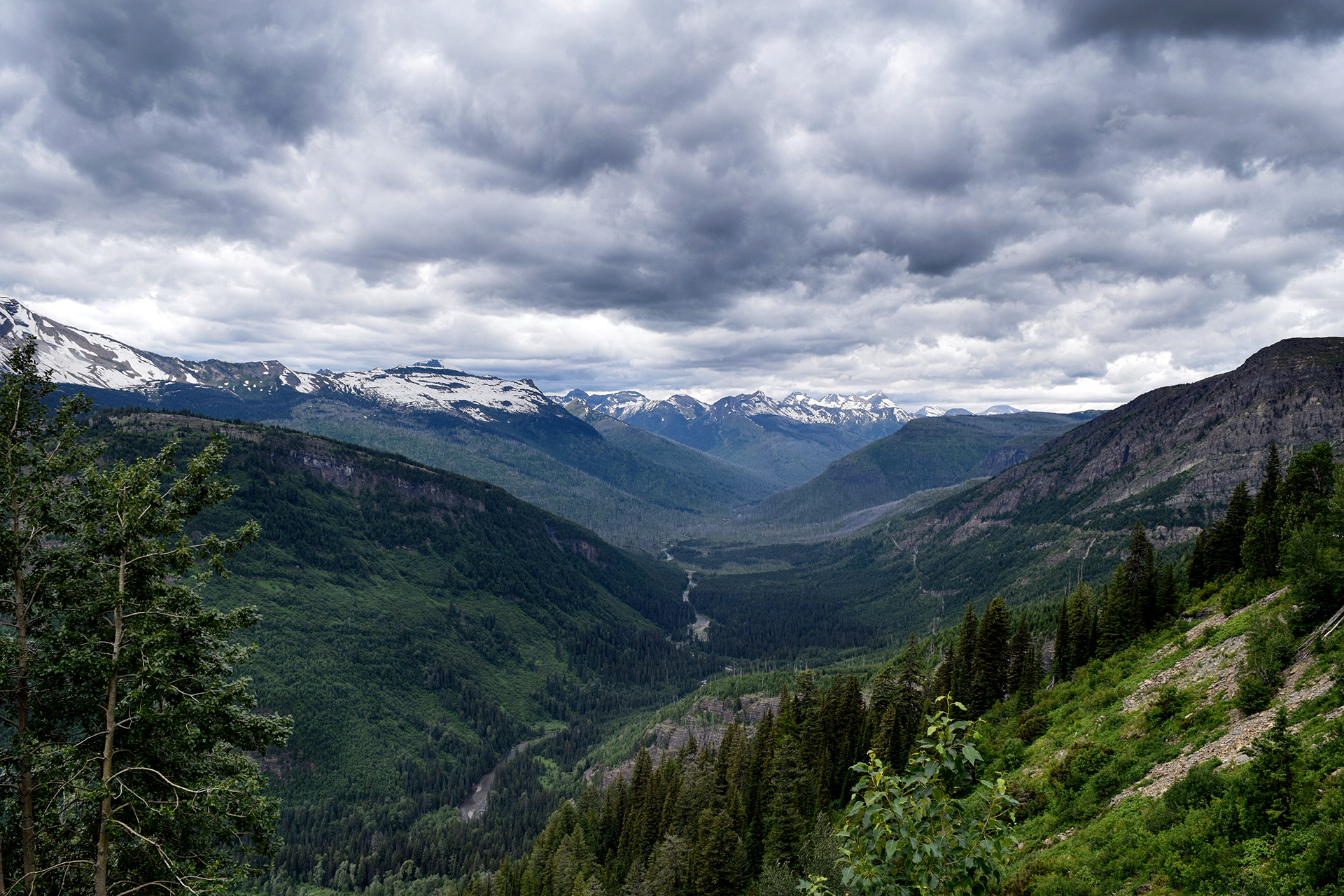
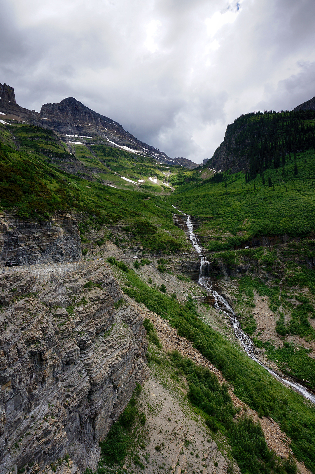
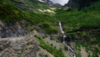
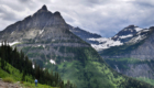
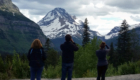
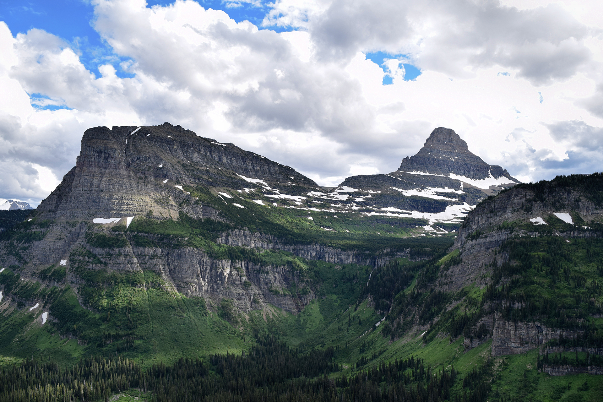
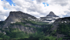
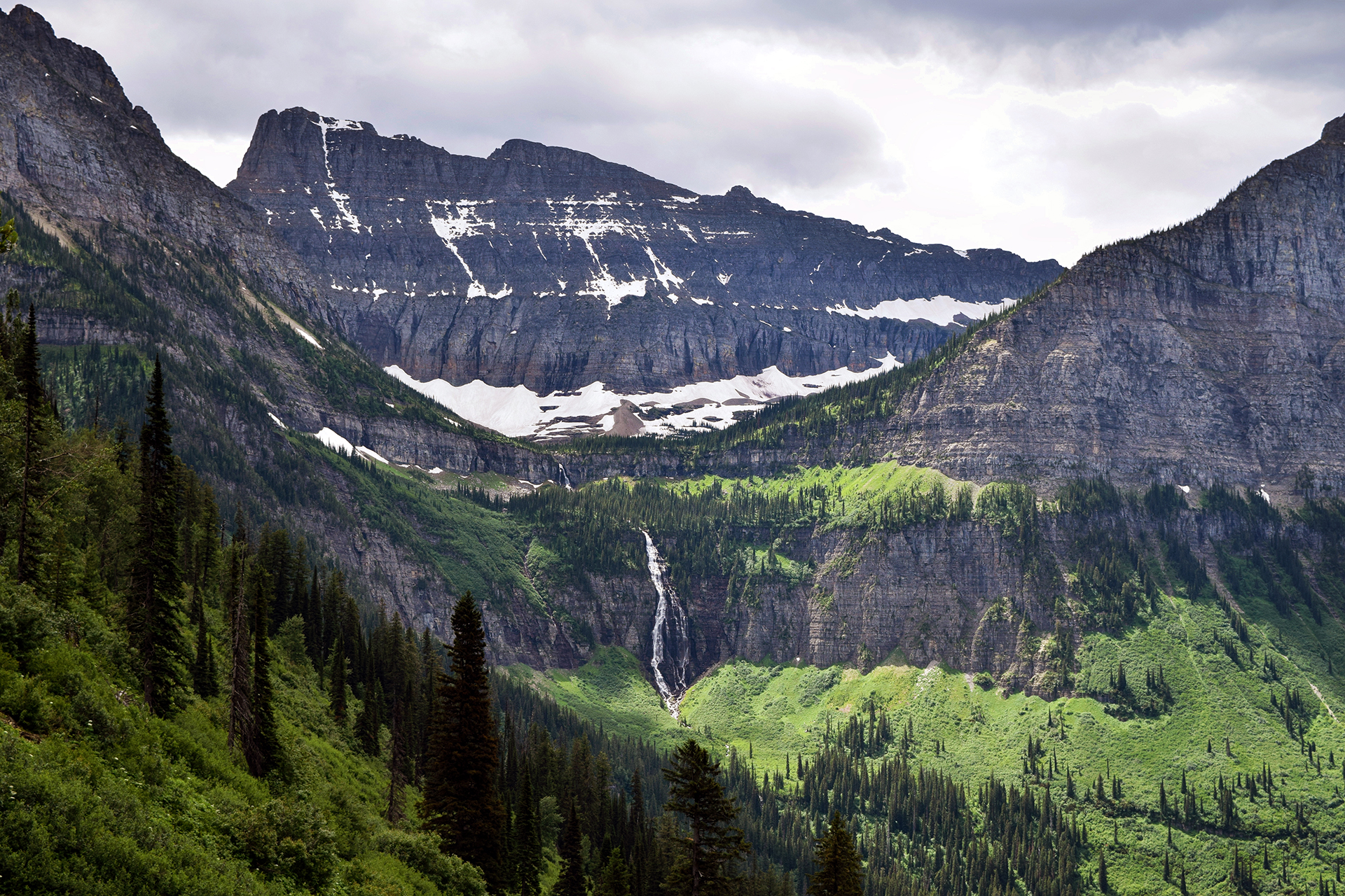
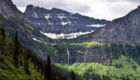
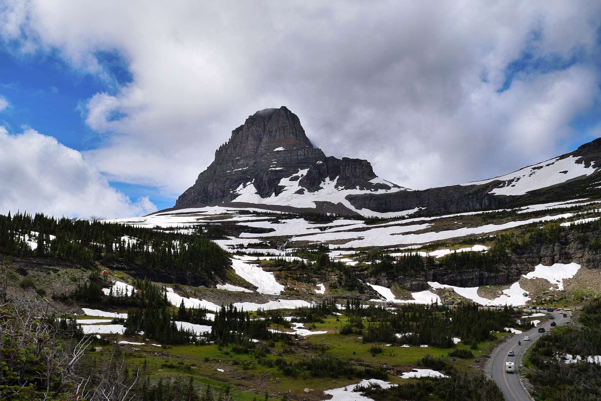
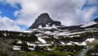
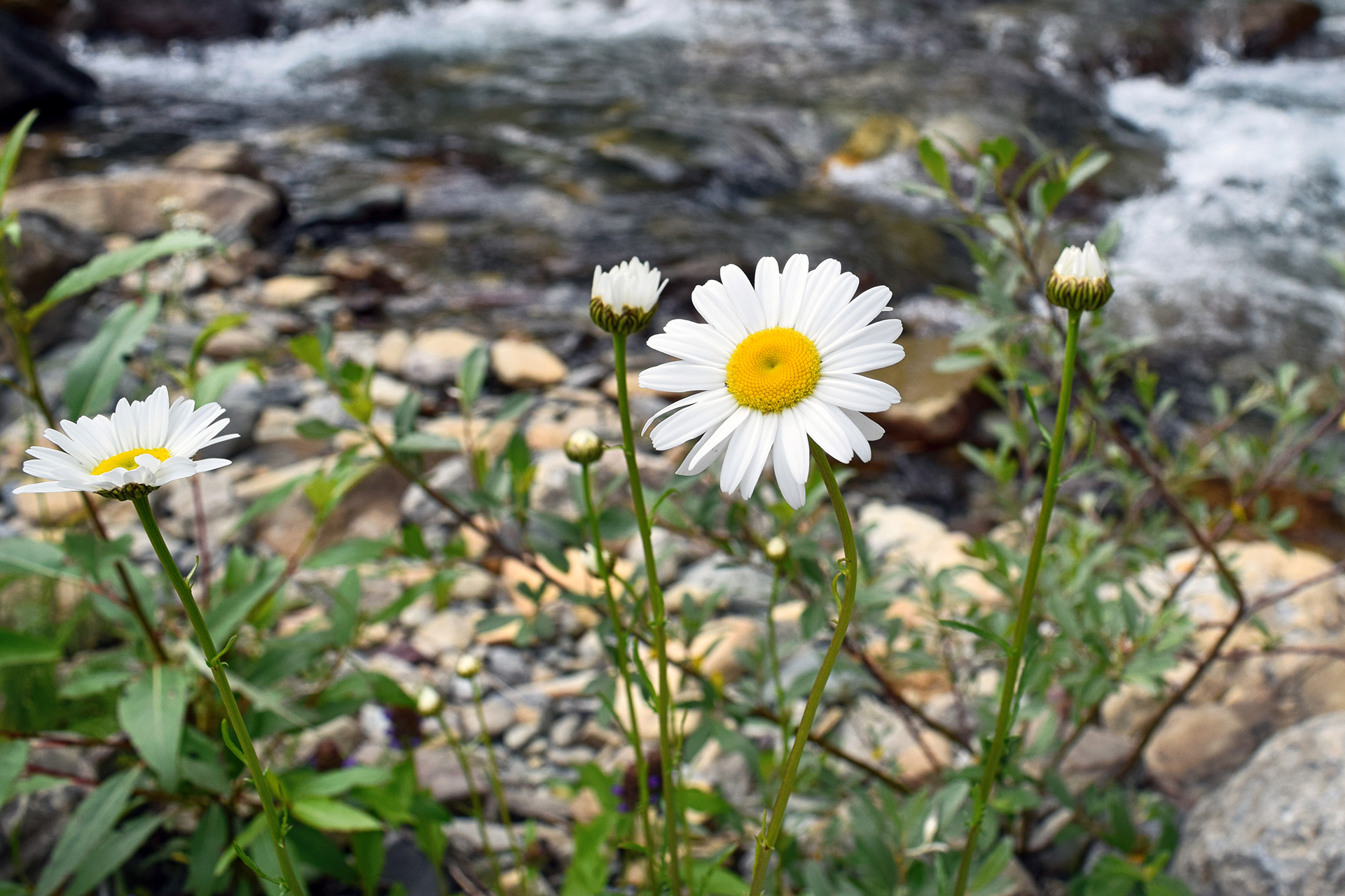
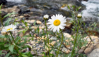
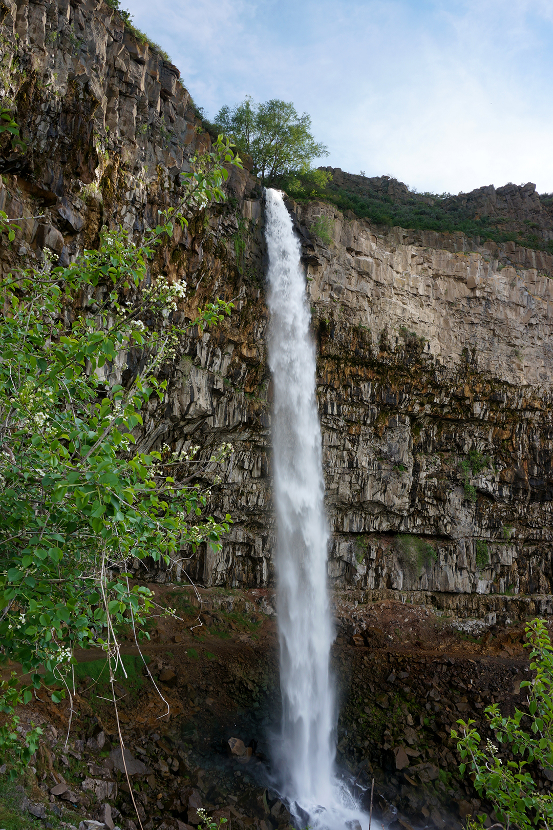
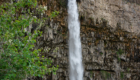
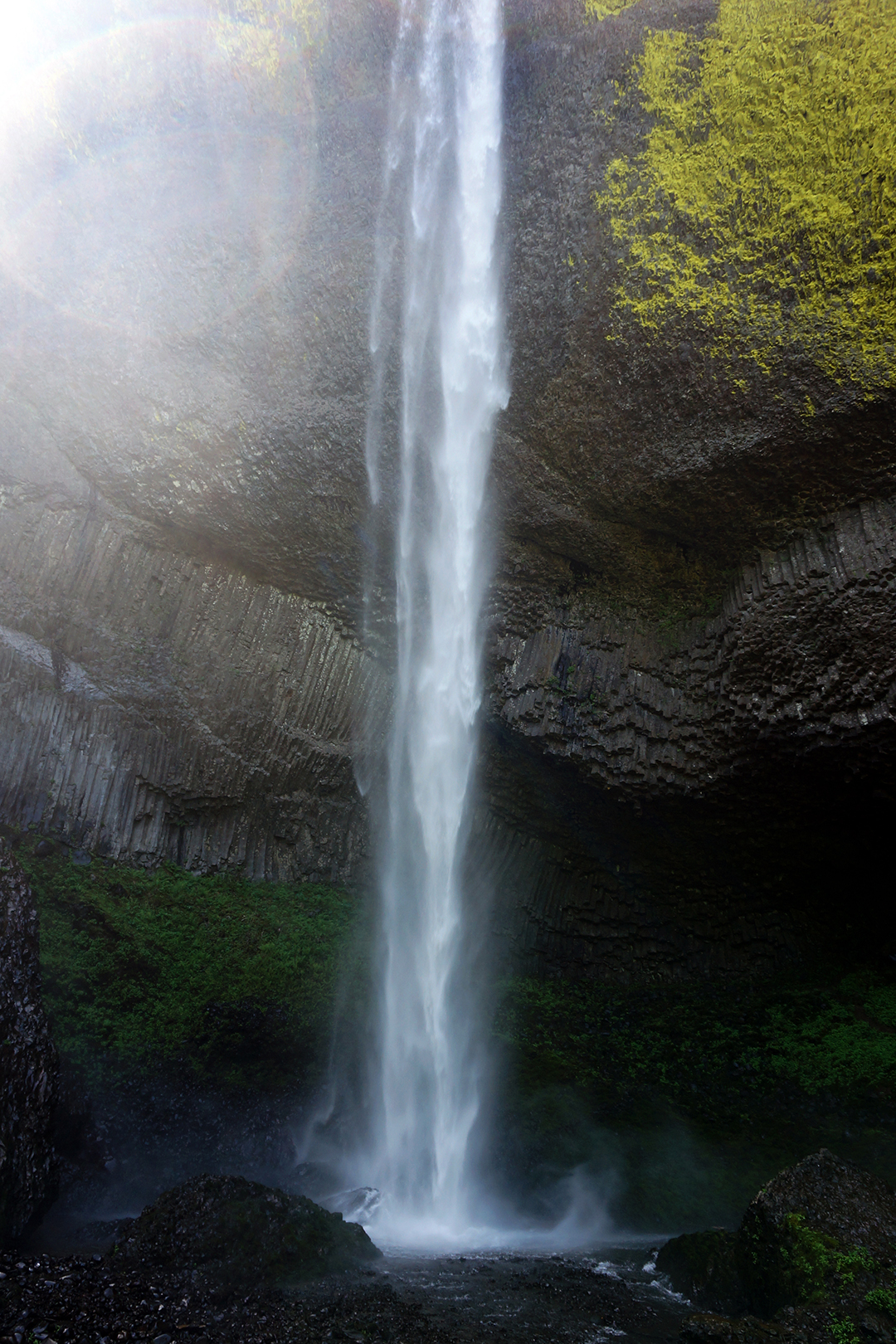
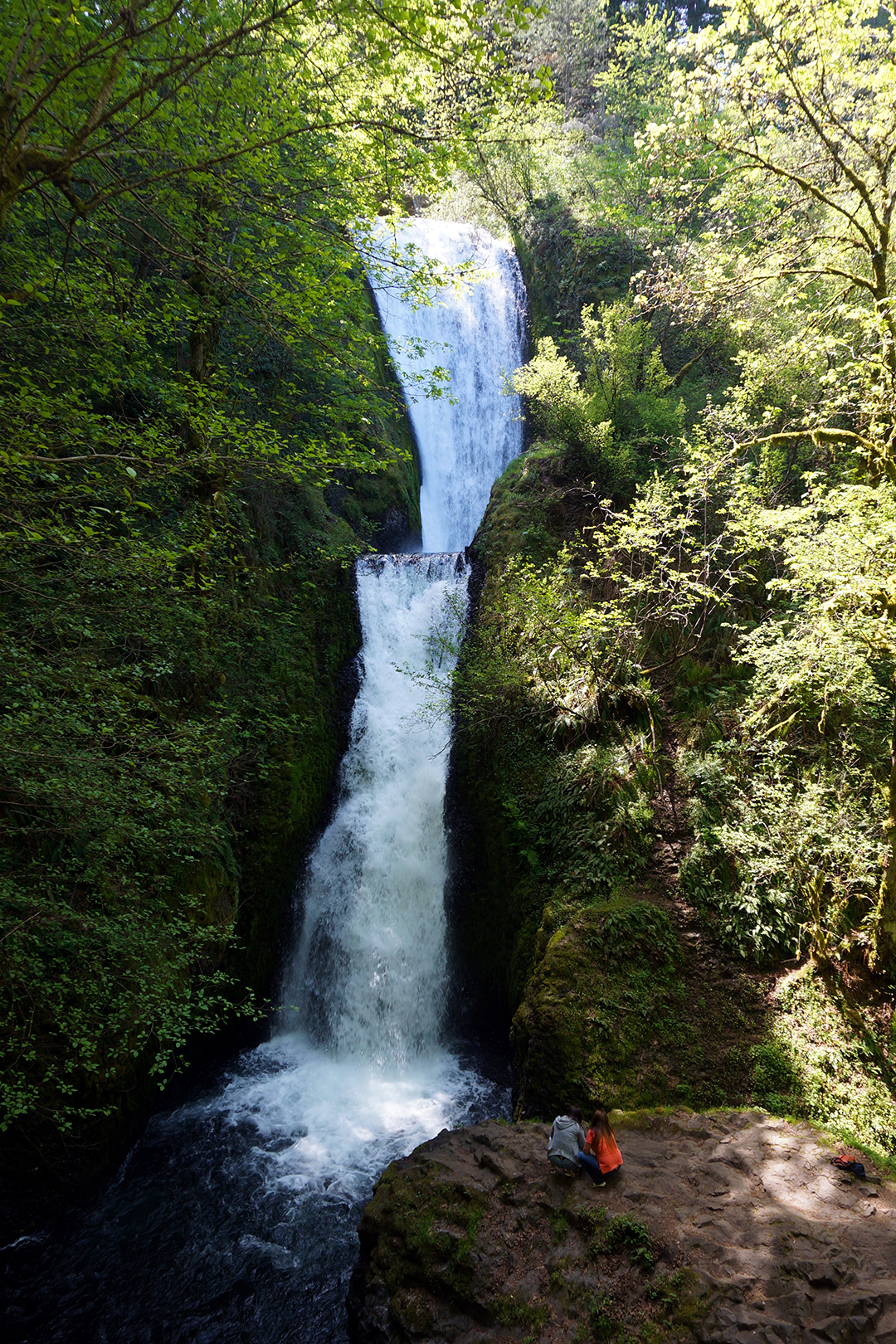
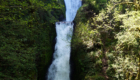
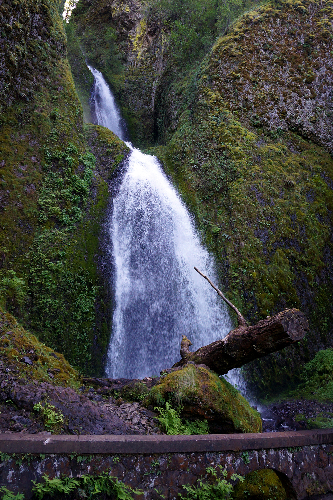
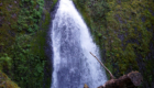
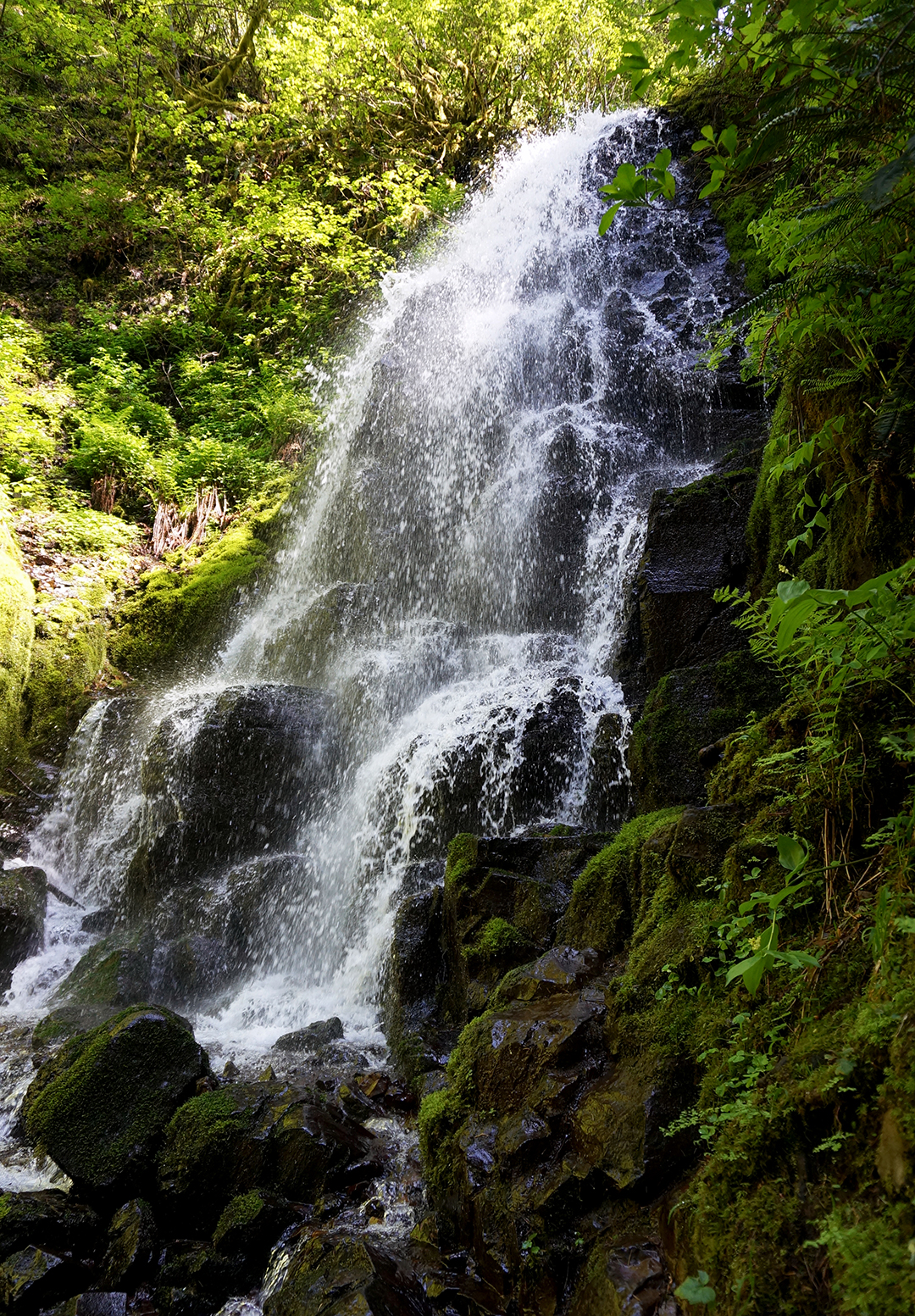
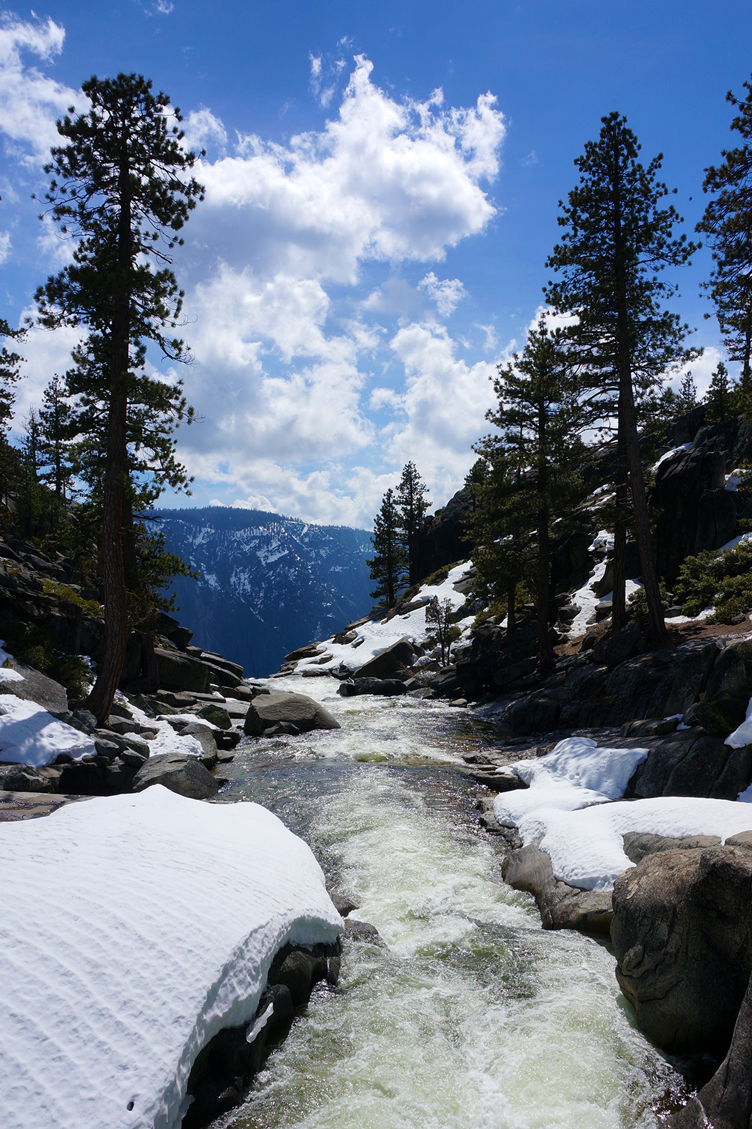
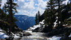
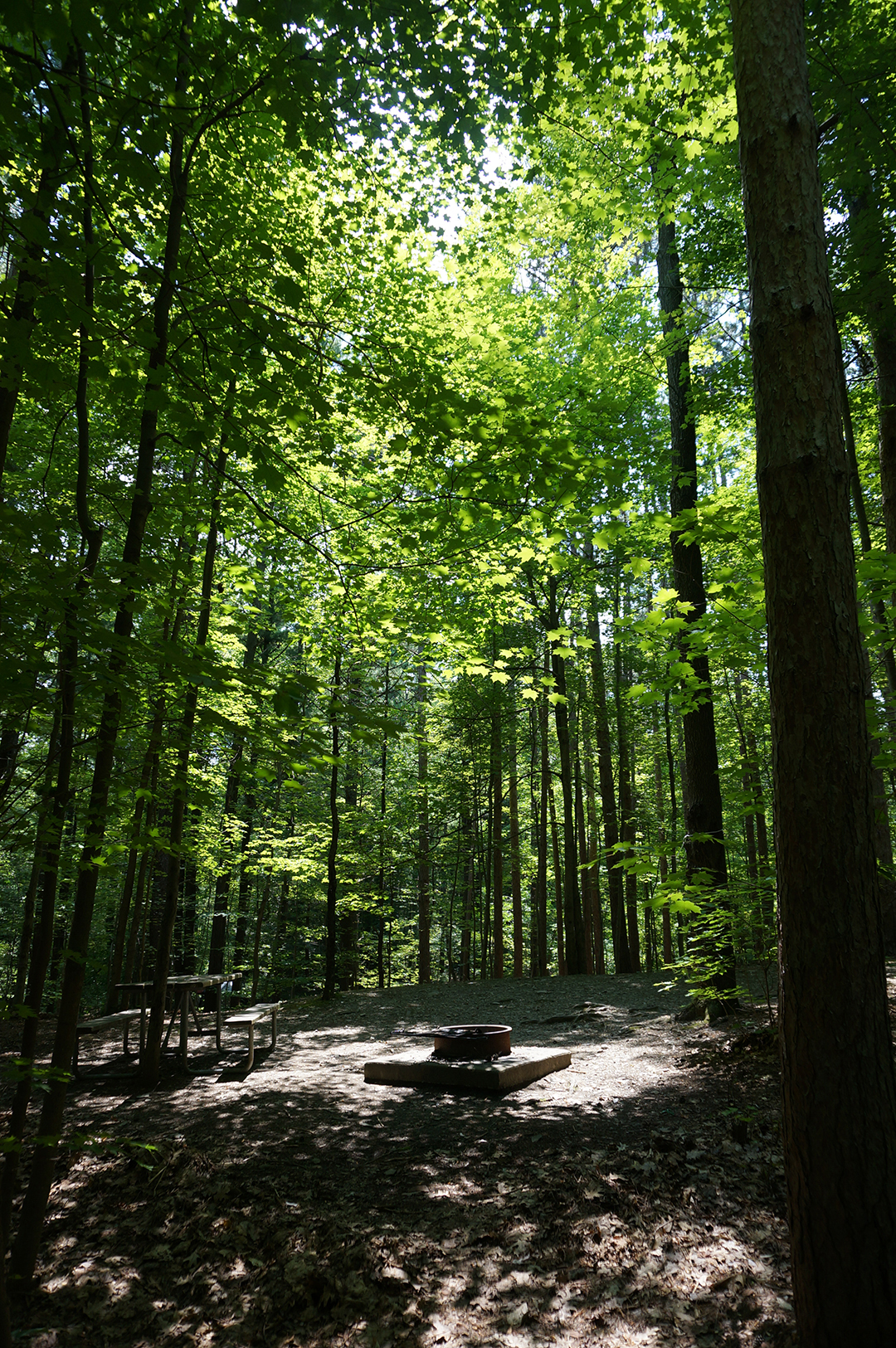
On top of everything else, July is the height of spring in Glacier, and there were millions of wildflowers. Snowfall melting up above created delicate waterfalls everywhere we went.

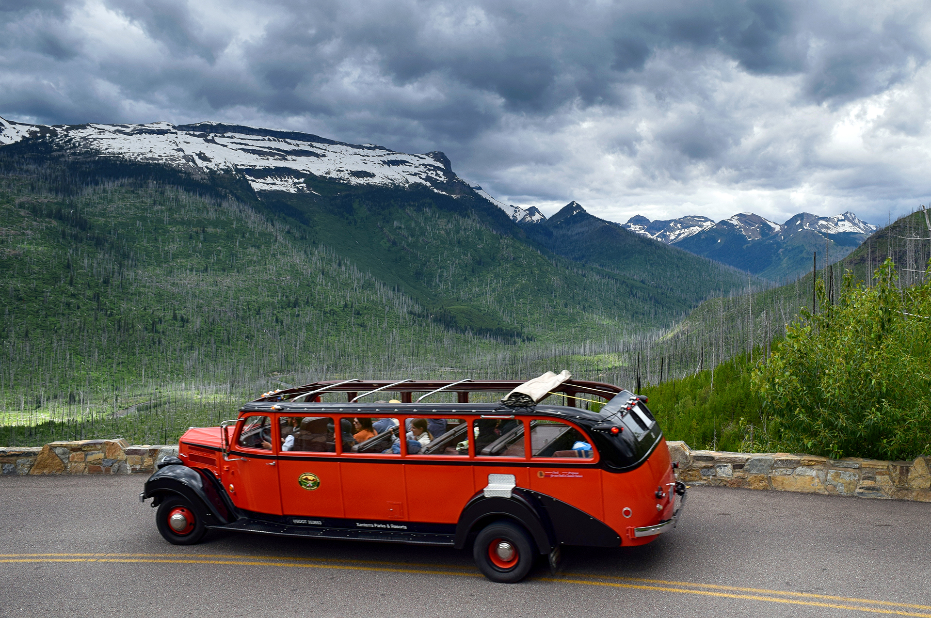
This far north, summer comes slowly, like at North Cascades.  Parts of Going-to-the-Sun road receive an accumulation of more than 100 feet of snow per year, which is then painstakingly removed each Spring by road crews using avalanche spotters on skis.  It takes months; the road doesn’t usually open until mid-June.

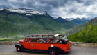
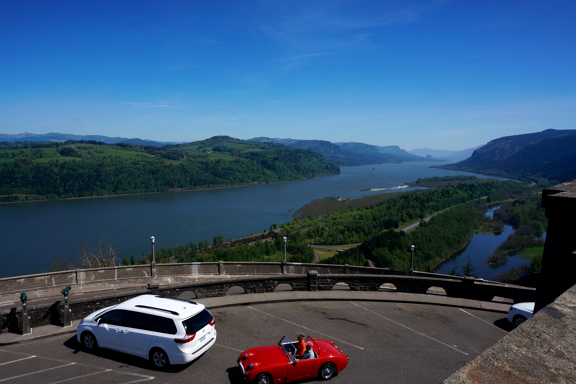
You may also have noticed our picture of the red “Jammer” cars that give tours along the road.  We didn’t take a Jammer, but we were happy to use the shuttle after driving the road once.  It’s not the scariest drive we’ve ever done, but it’s hard not to notice that you’re driving next to a sheer cliff with only a small retaining wall.  In fact, due to hairpin turns, vehicles over 21 feet in length or 10 feet in width are prohibited (but we watched someone try in an RV anyway!)  See here for more on the road, an engineering marvel.
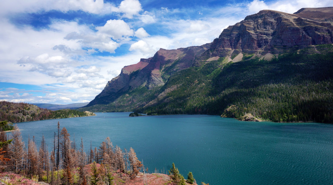
Wake & Lake

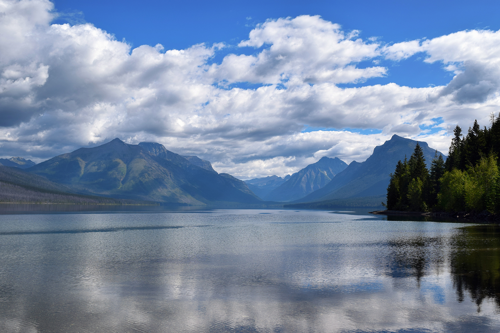
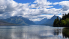
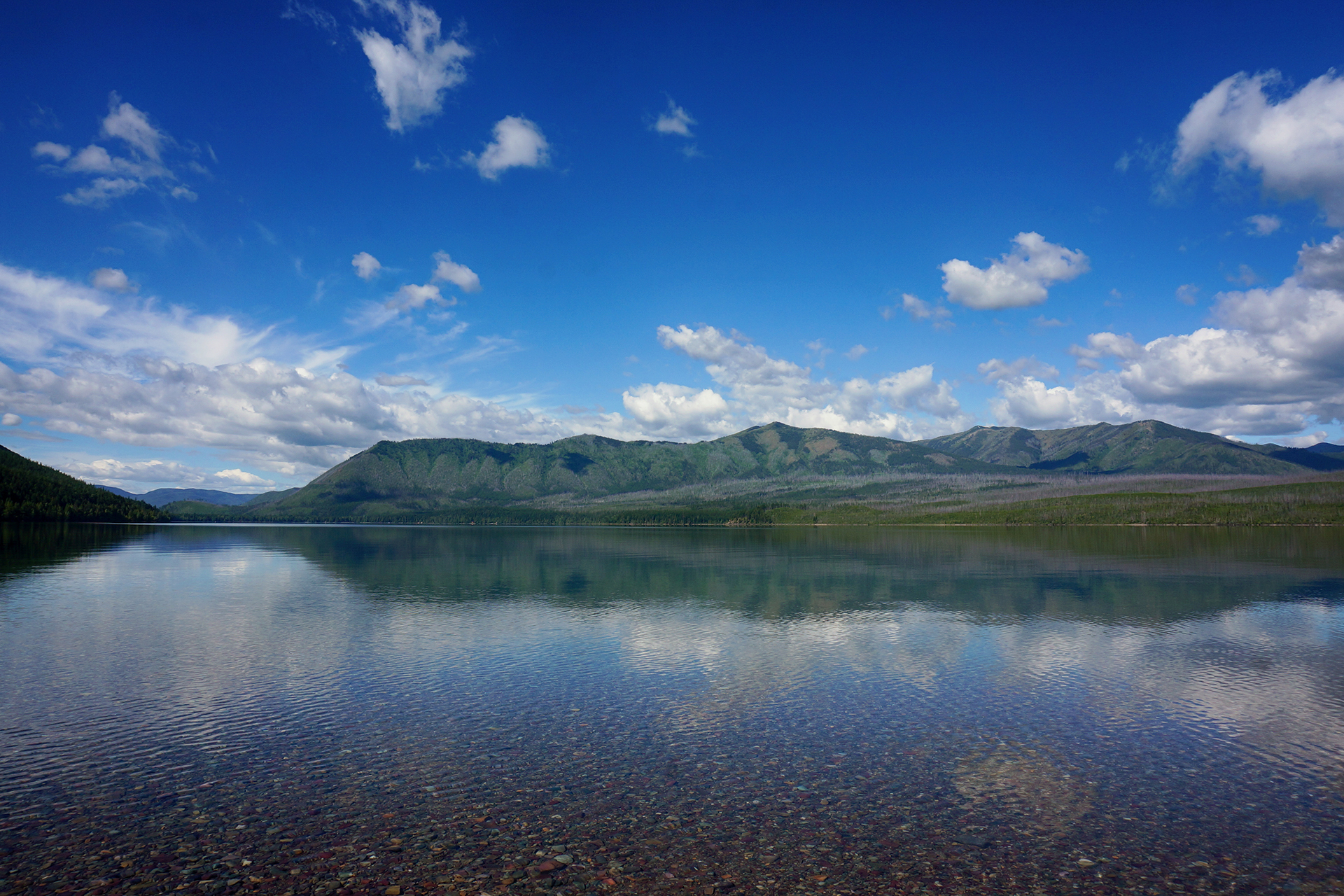
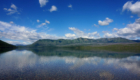
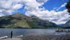
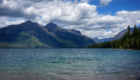
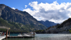
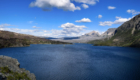
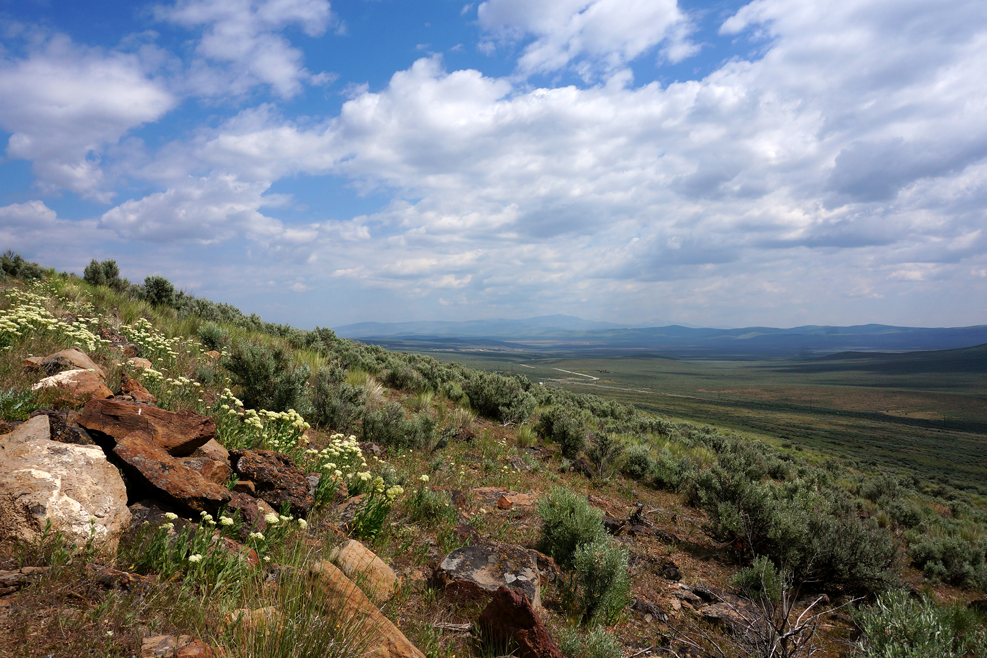
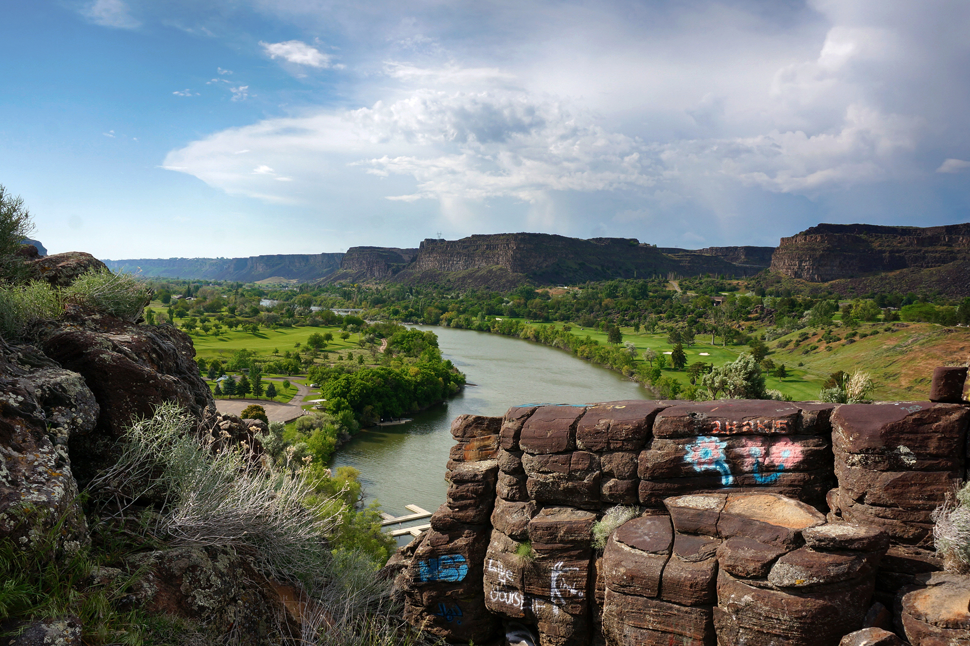
In addition to the mountains, Glacier is known for the beauty of its lakes.  We are happy to confirm that beauty.  Lake Macdonald was huge, pristine, and utterly clear, showcasing the colorful rocks that can be found throughout Glacier.

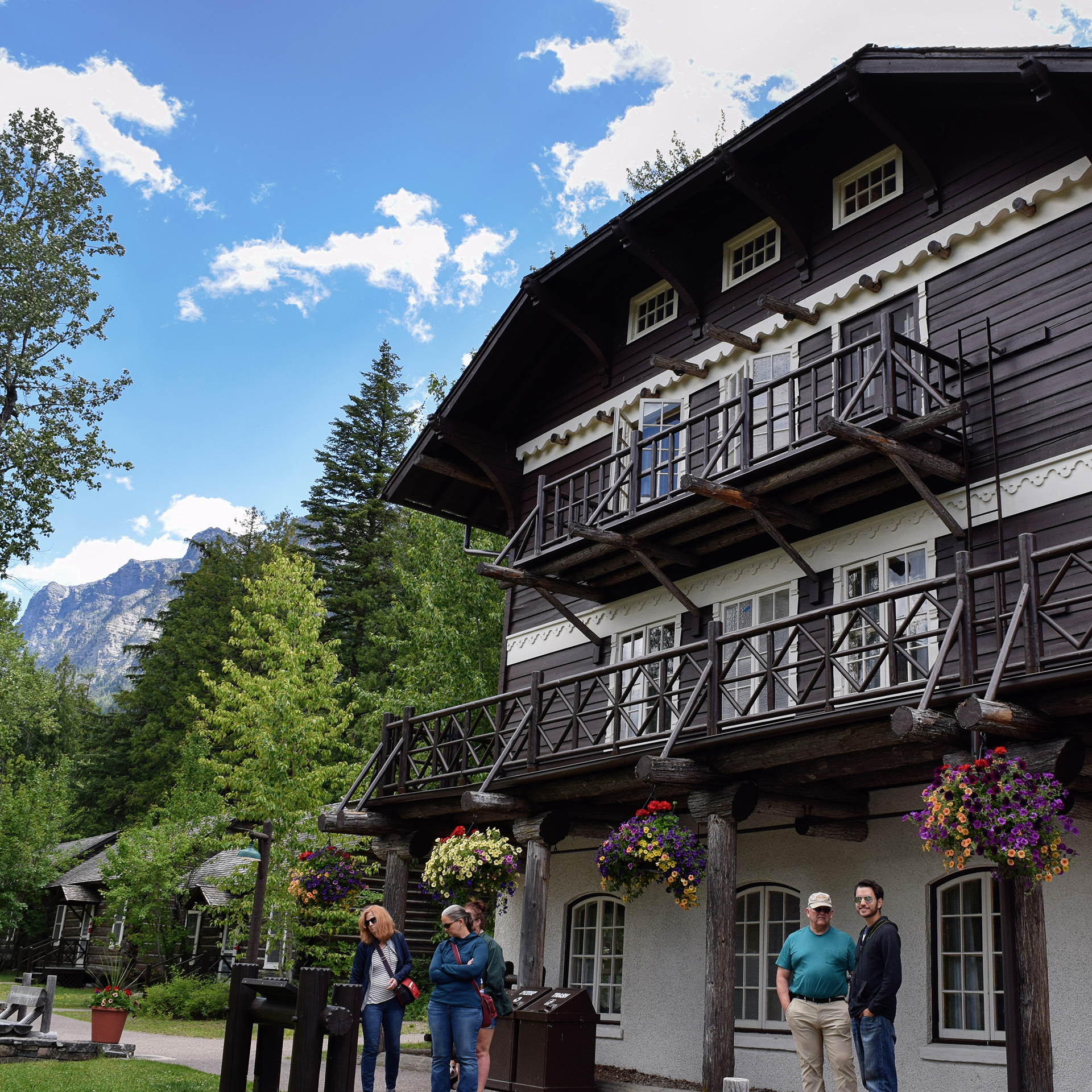
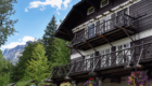
We were amazed by the perfect reflections off the water.  Nearby was  one of Glacier’s many lodges, which are in the Swiss chalet style and all exceedingly charming.

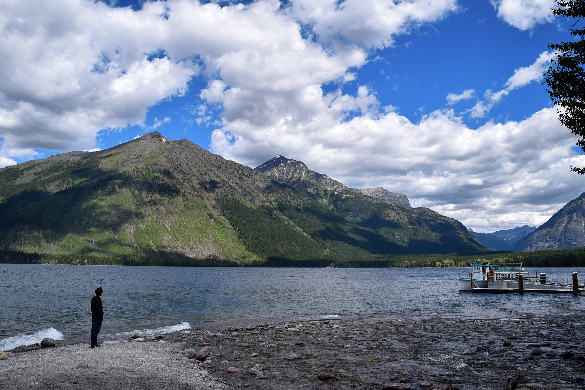
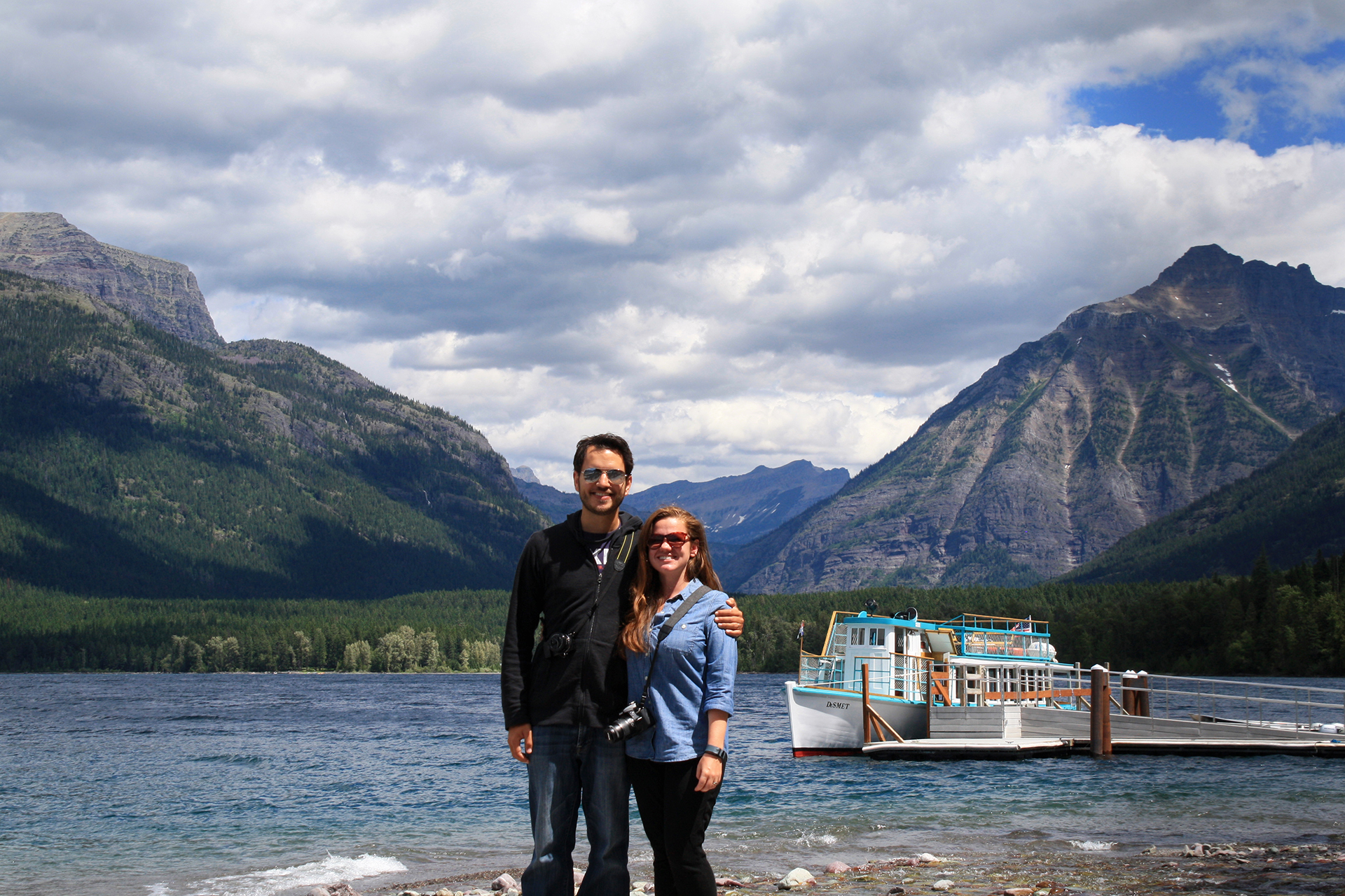
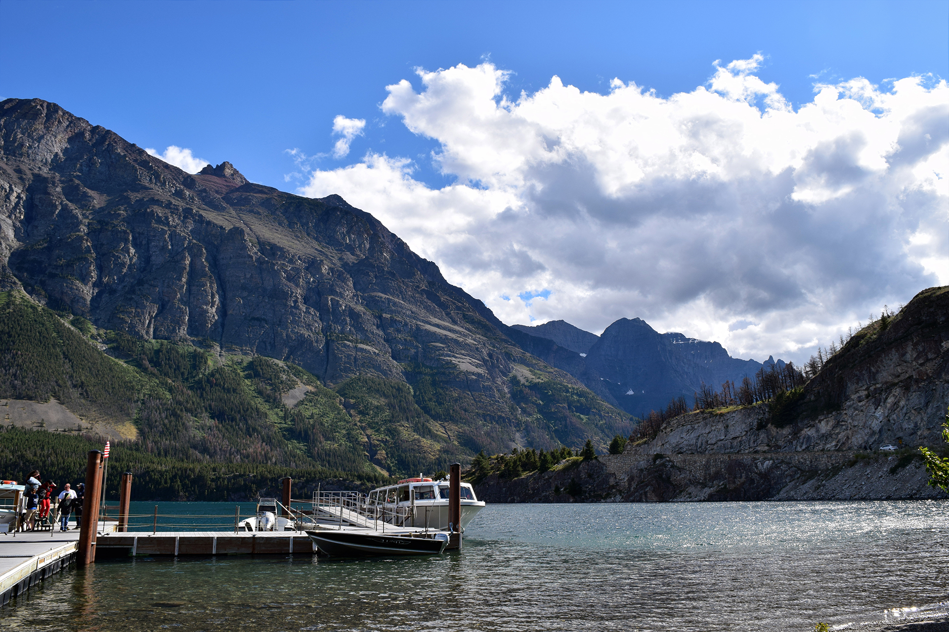
Even the boat at the end of the dock was scenic.

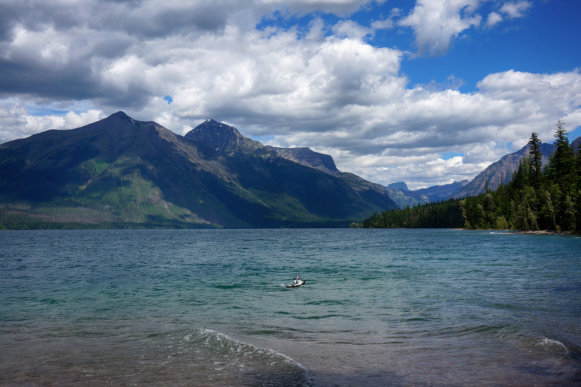
Jake also had some fun when we stumbled upon someone piloting a surprisingly realistic looking RC boat.  Look at how big those mountains must be!

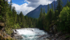
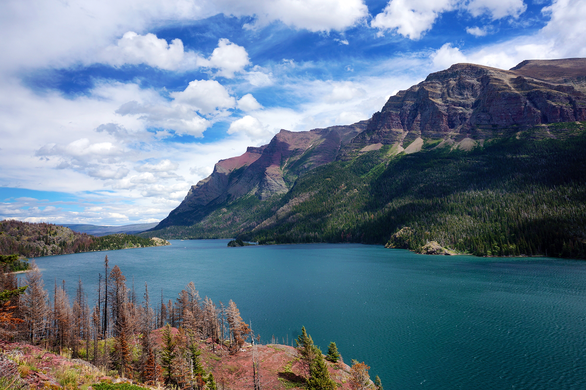
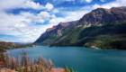
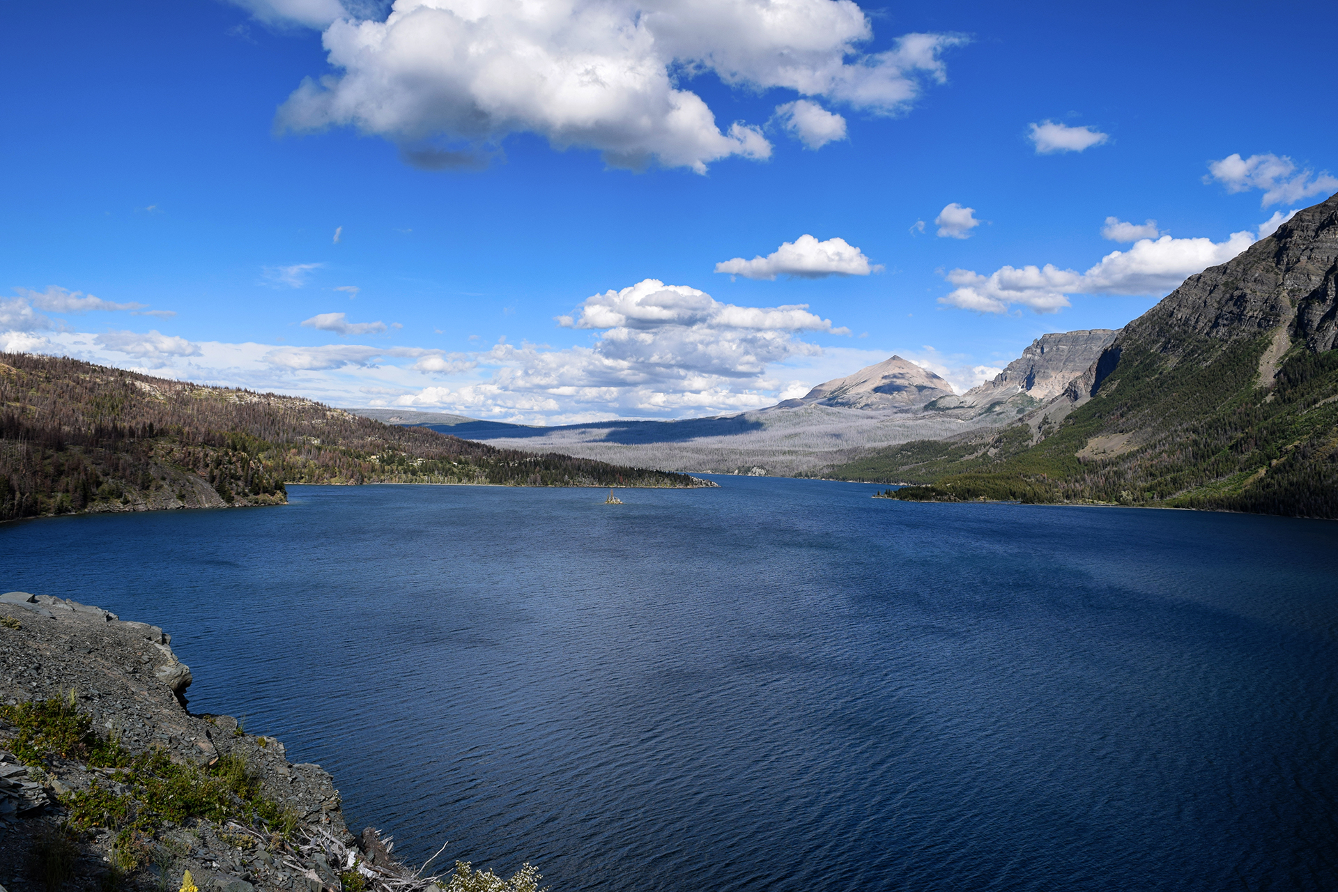
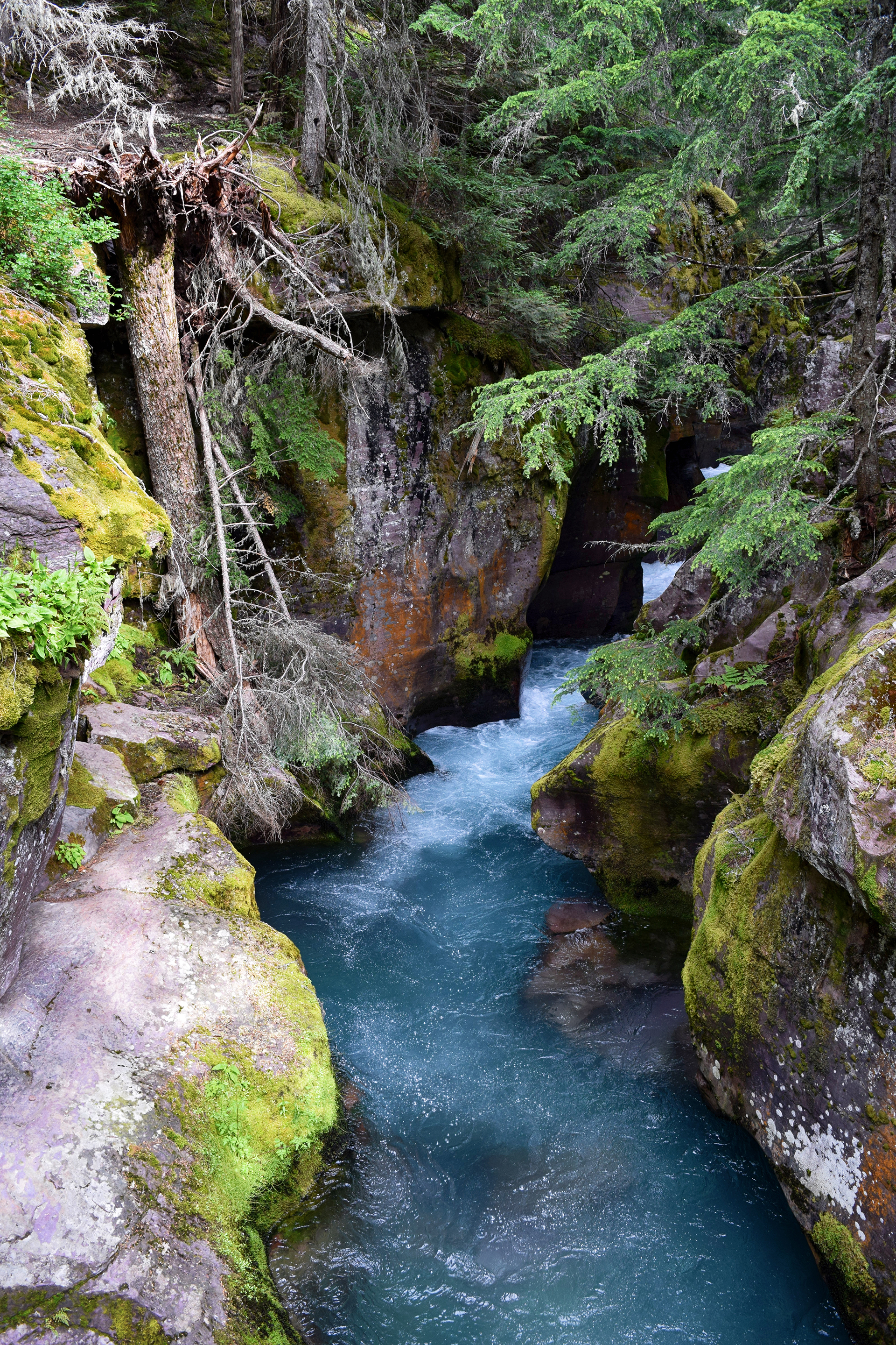
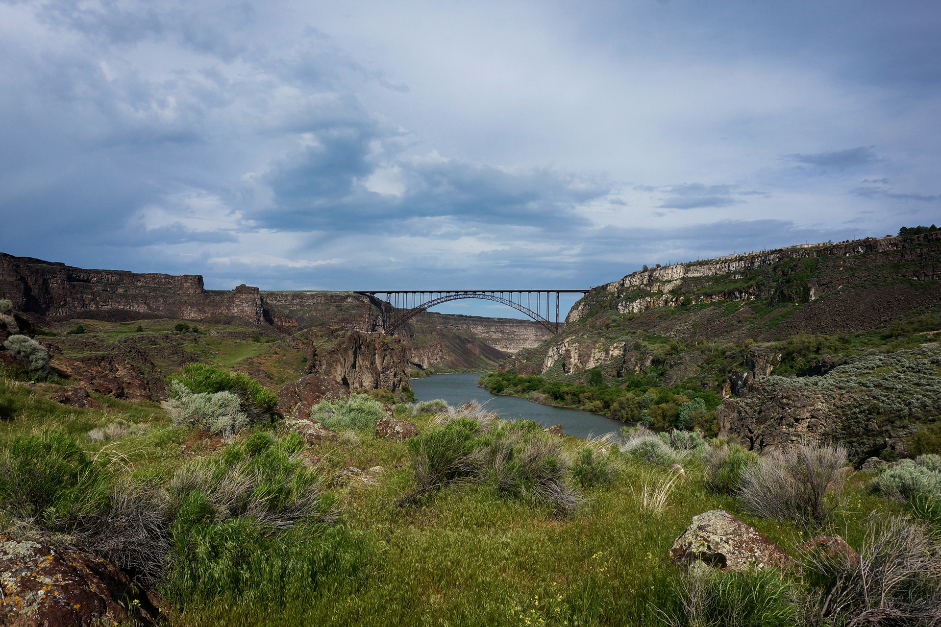
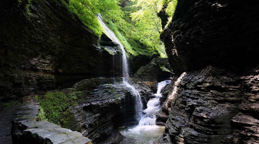
On the other side of Going-to-the-Sun Road is St. Mary’s Lake, where we took a boat ride and ranger-guided tour.  The mountains above are a vibrant red, while the water is tinted brilliantly blue by “rock flour,” tiny bits of suspended particles ground down by the glaciers above.  Even the waterfall flowing into the lake had a blue tint!

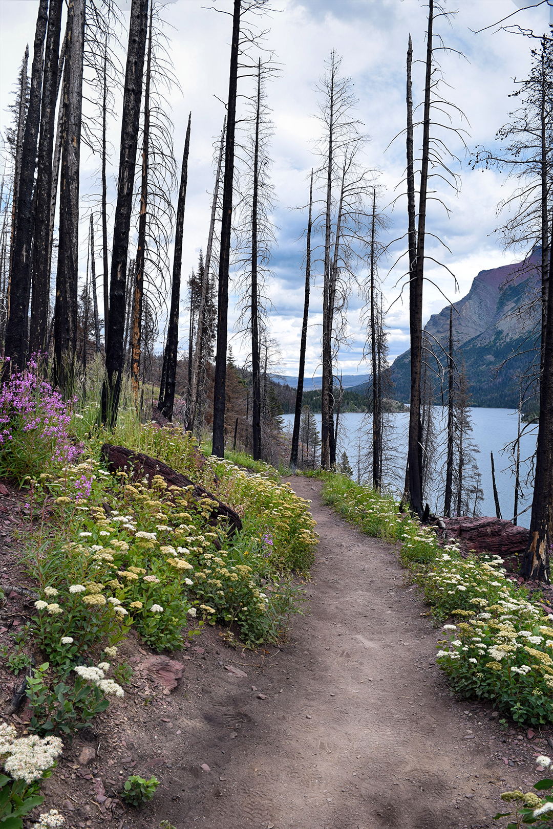
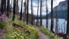
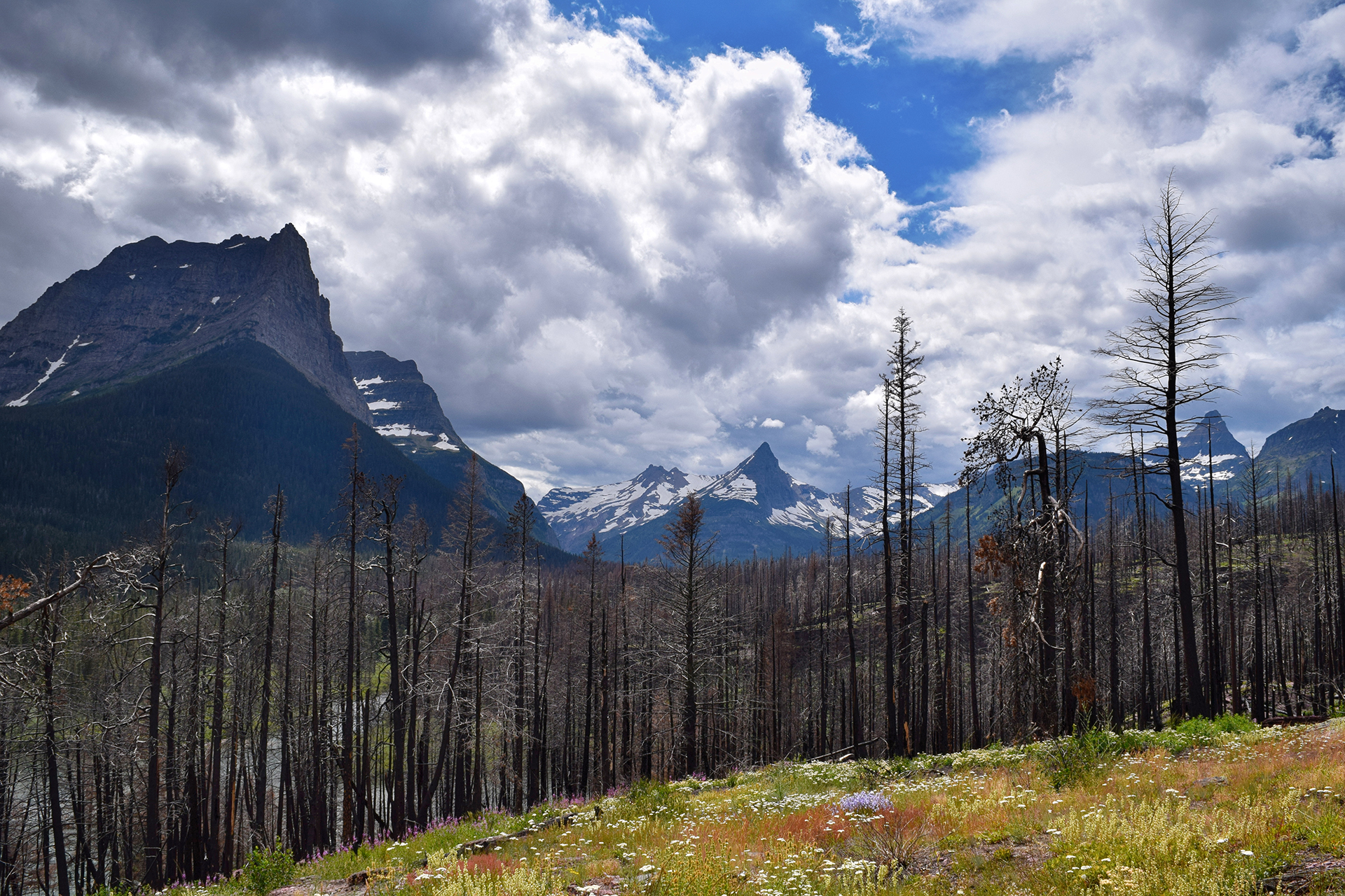
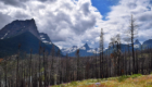
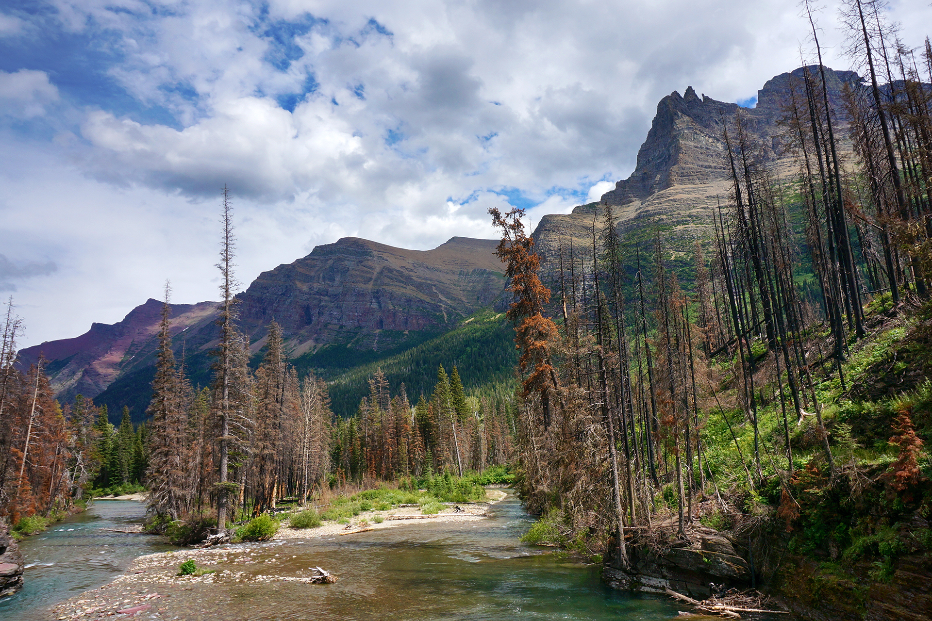
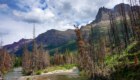
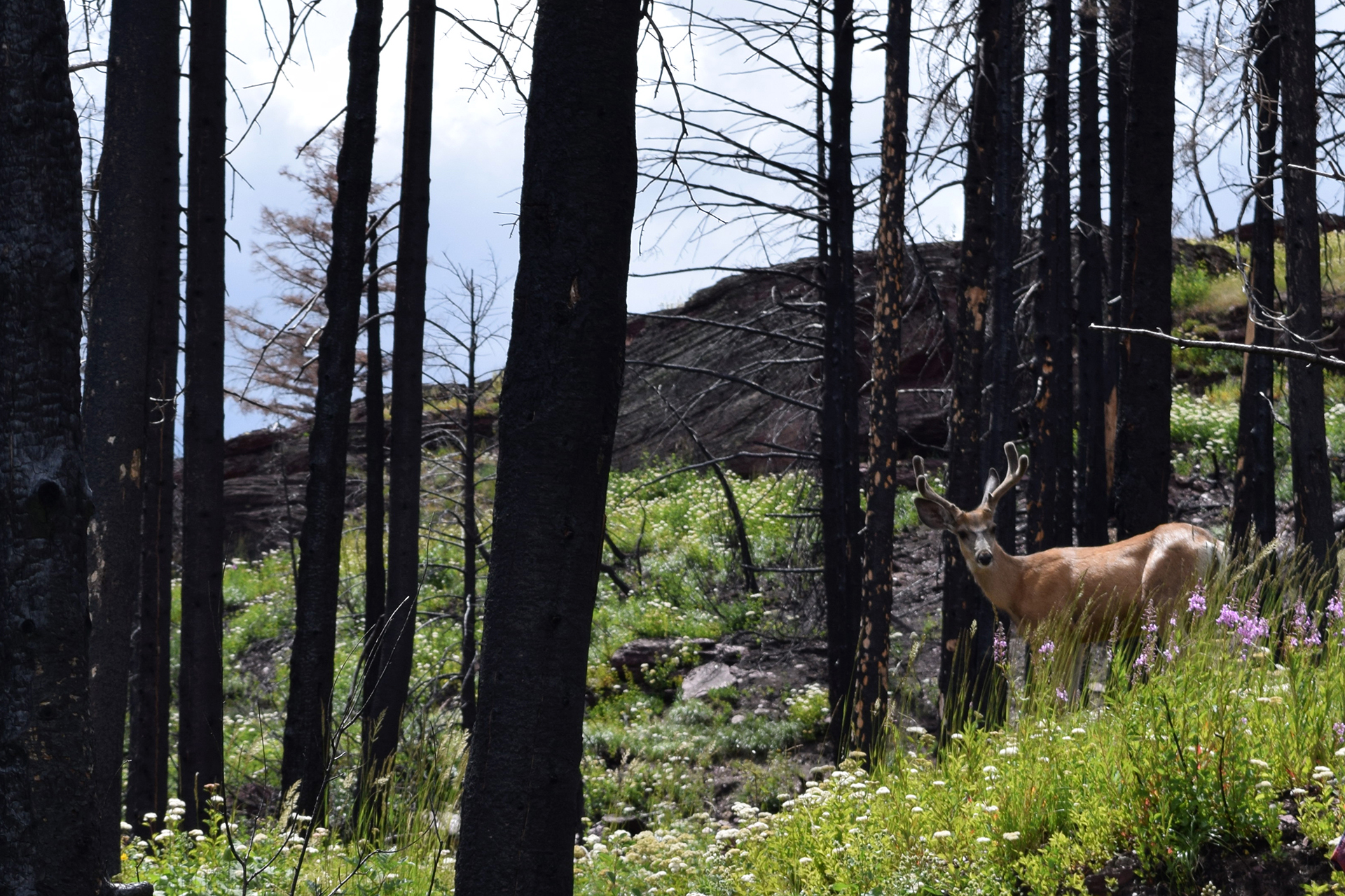
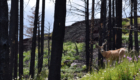
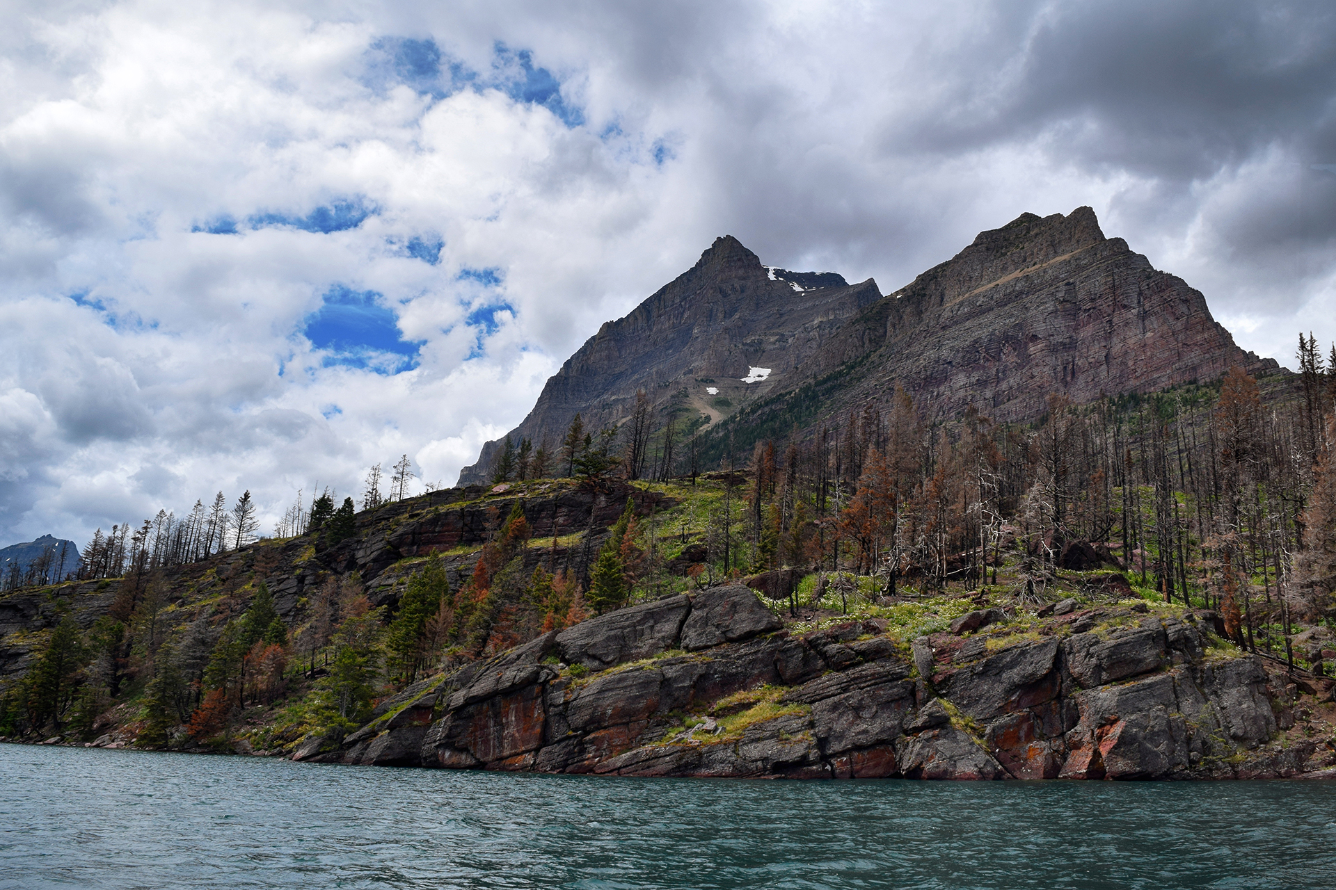
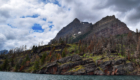
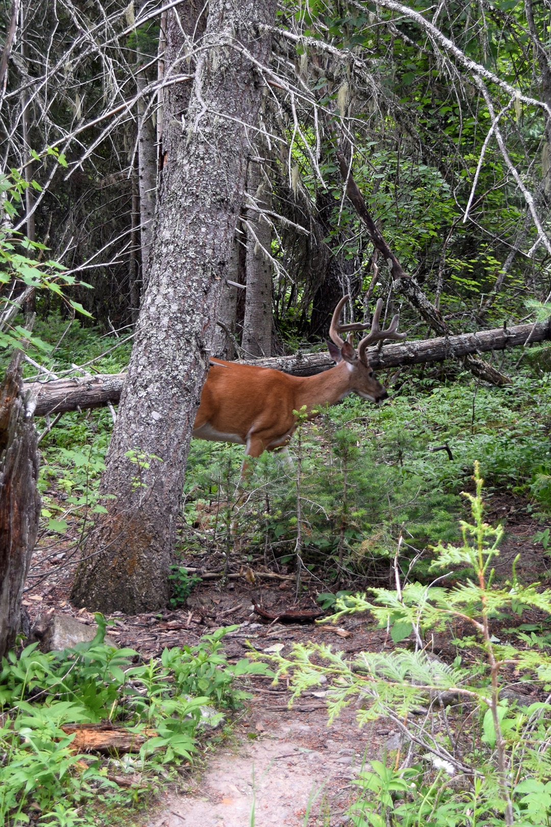
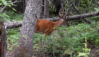
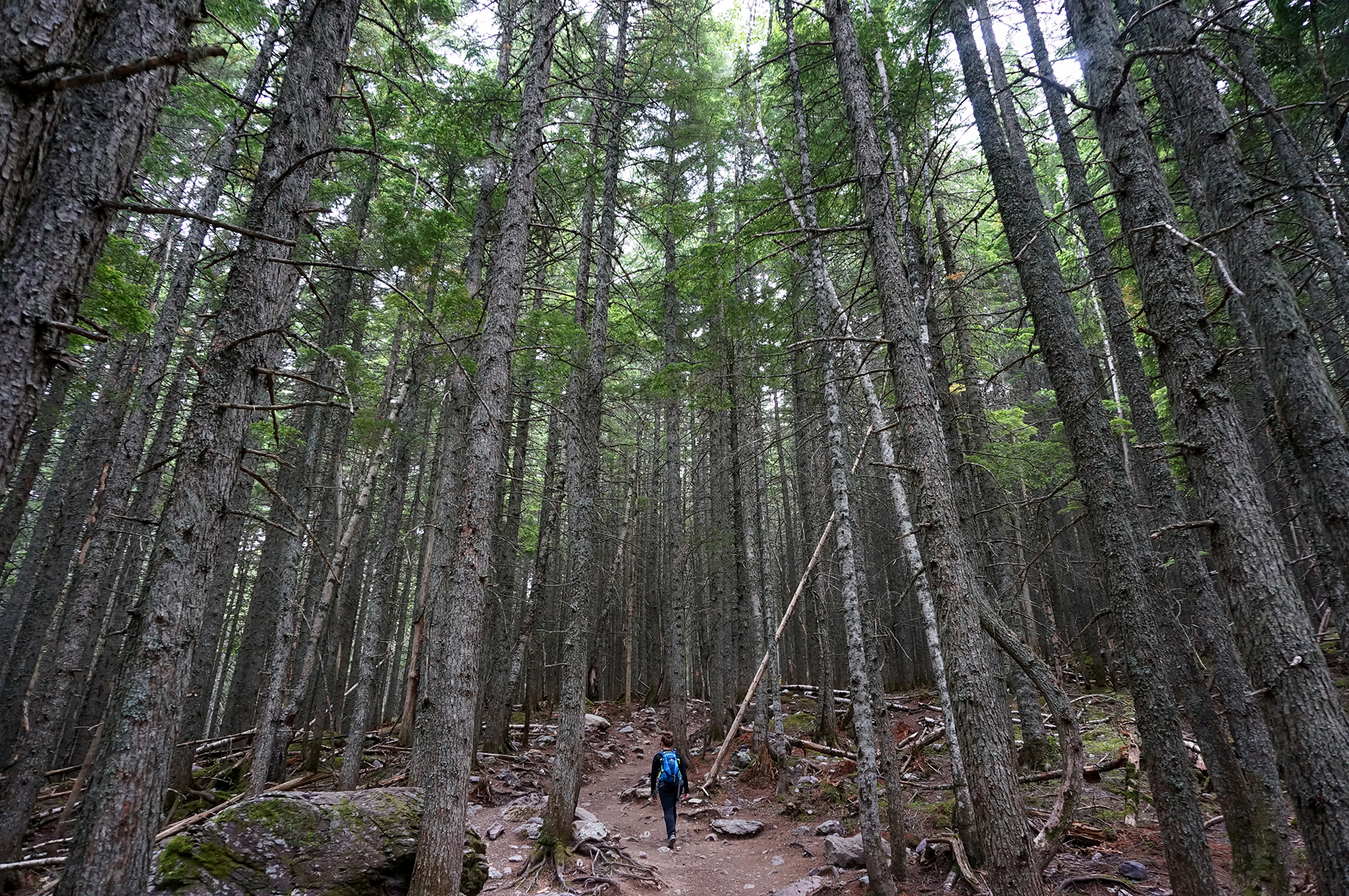
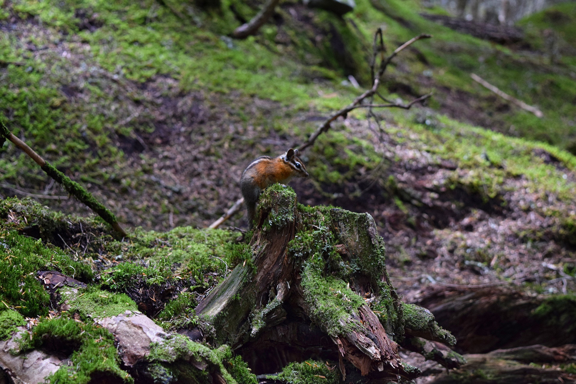
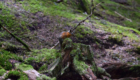
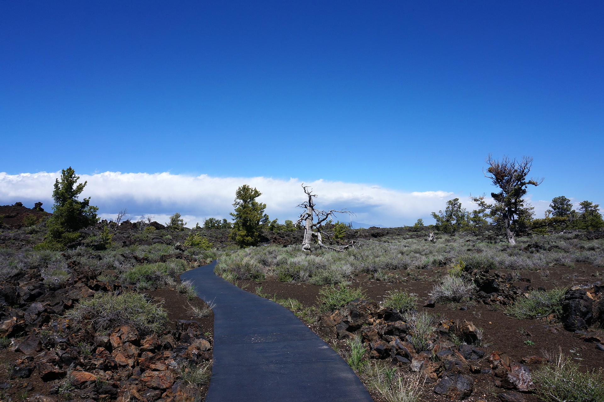
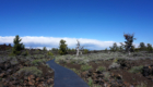
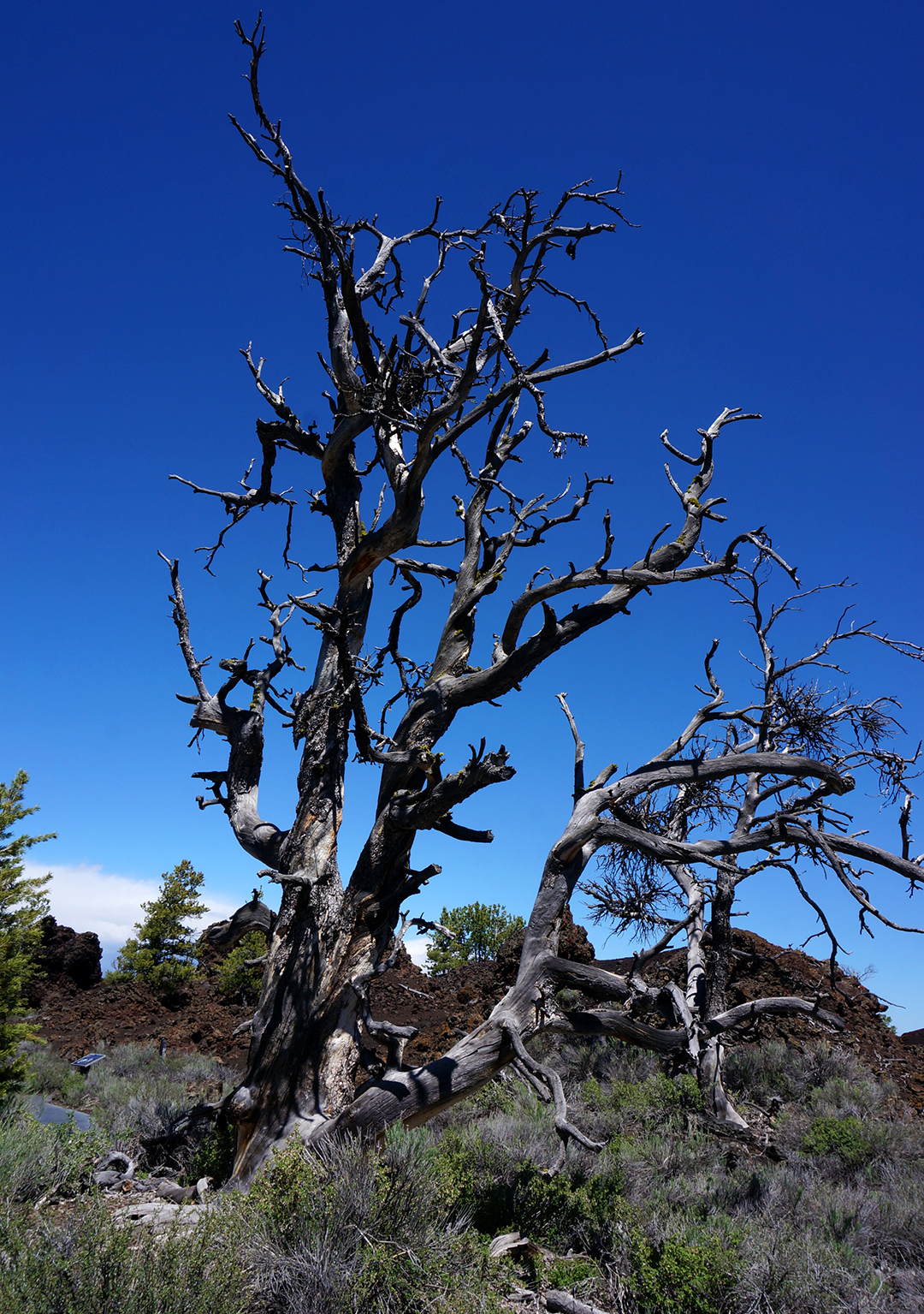
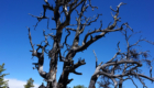
We hiked around one side of the lake, and at first, we were bummed that the “forest” we were walking through was really the charred remains of a recent forest fire.  Interestingly, though, this meant that were an incredible number of wildflowers, because light could now reach down to the forest floor.

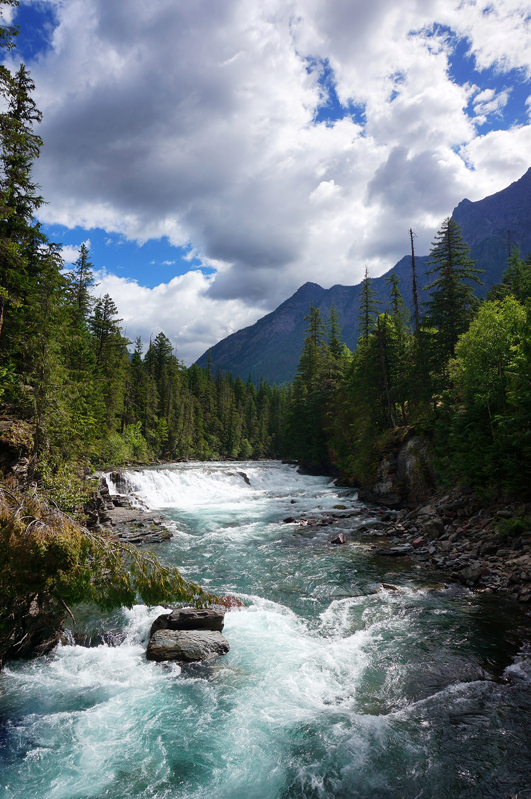
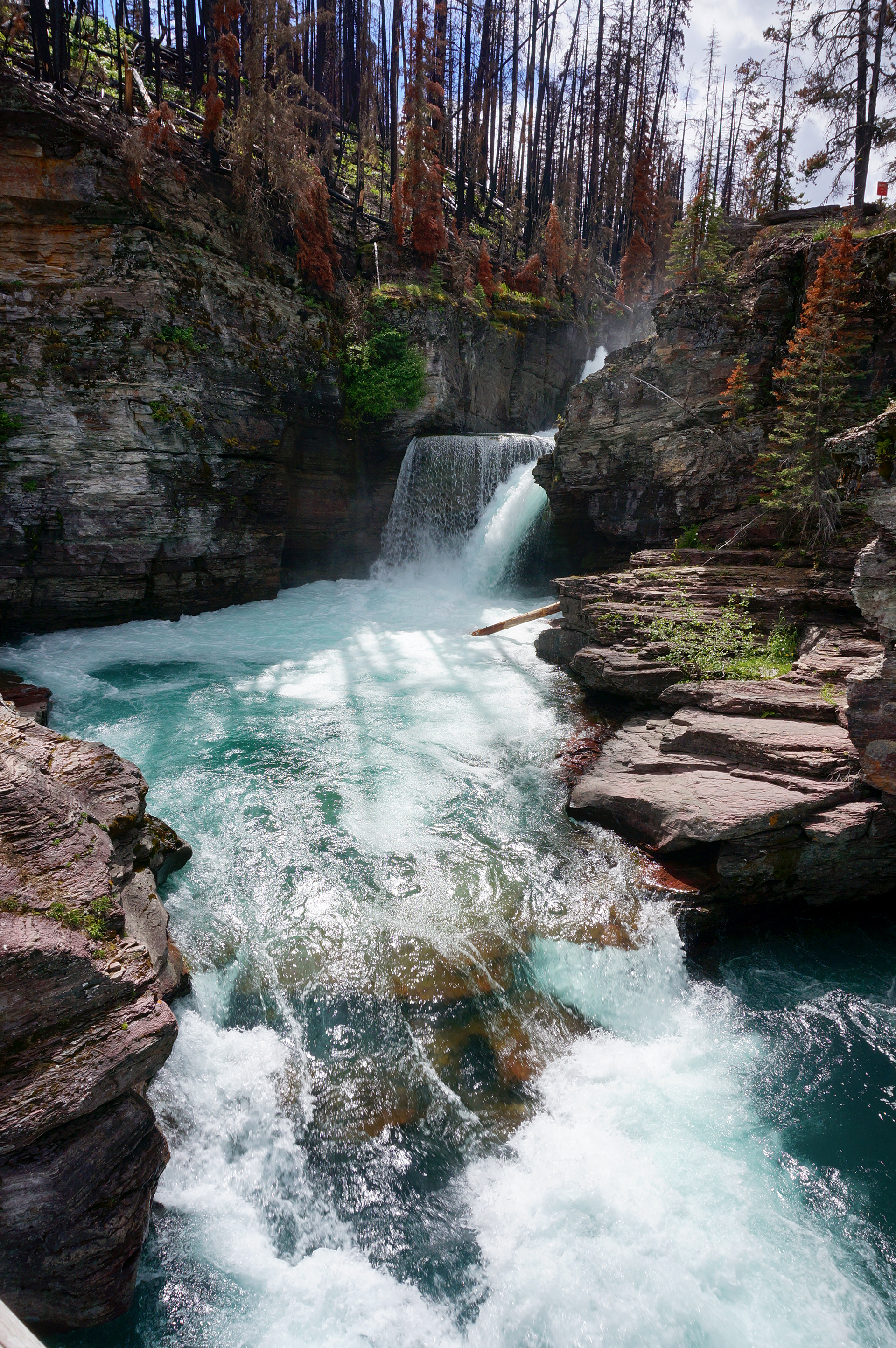
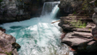
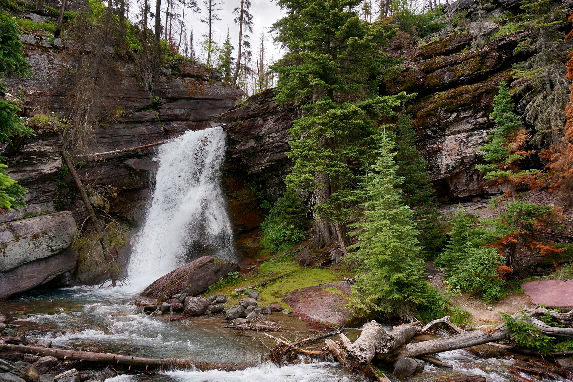
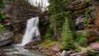
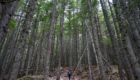
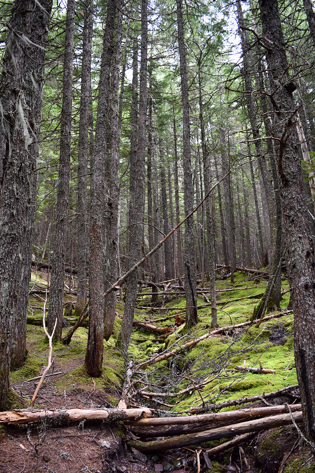
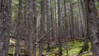
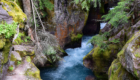
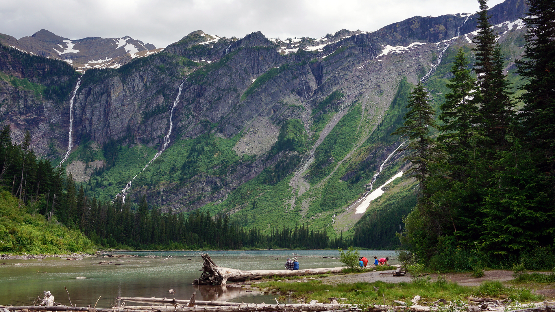
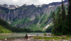
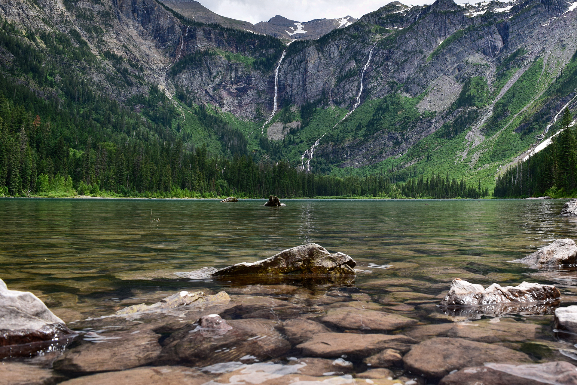
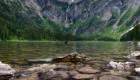
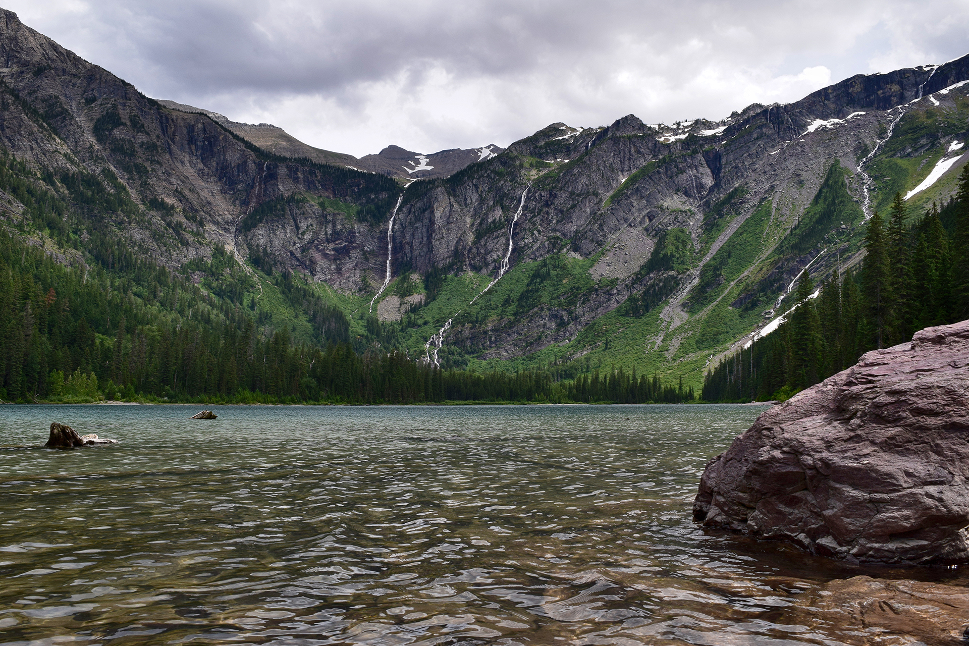
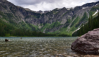
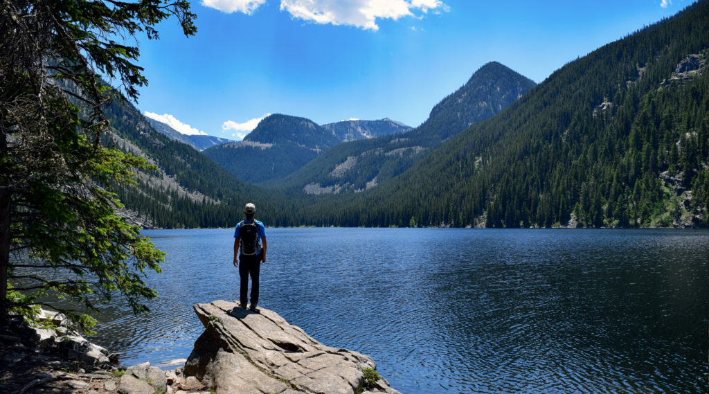
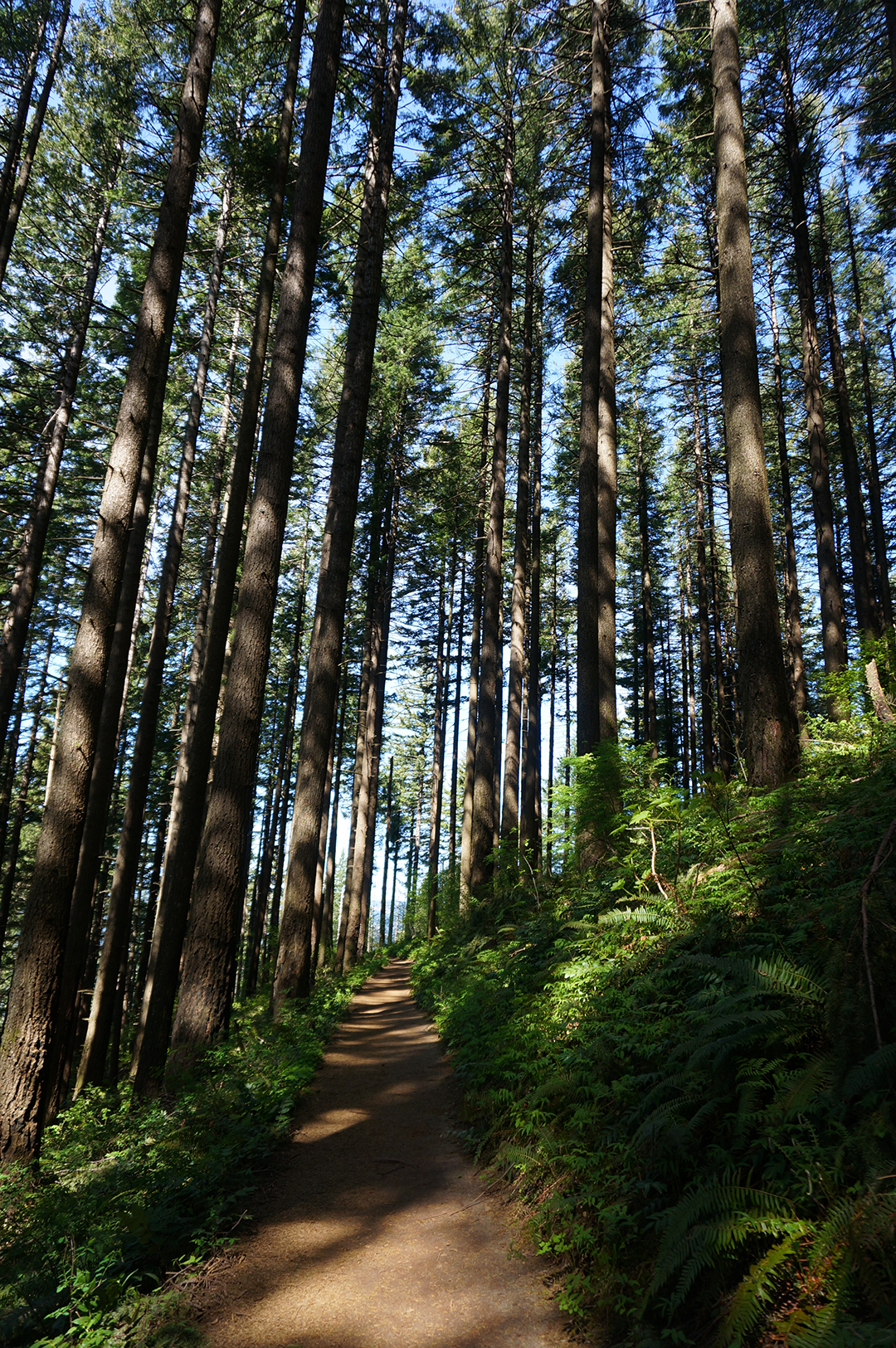
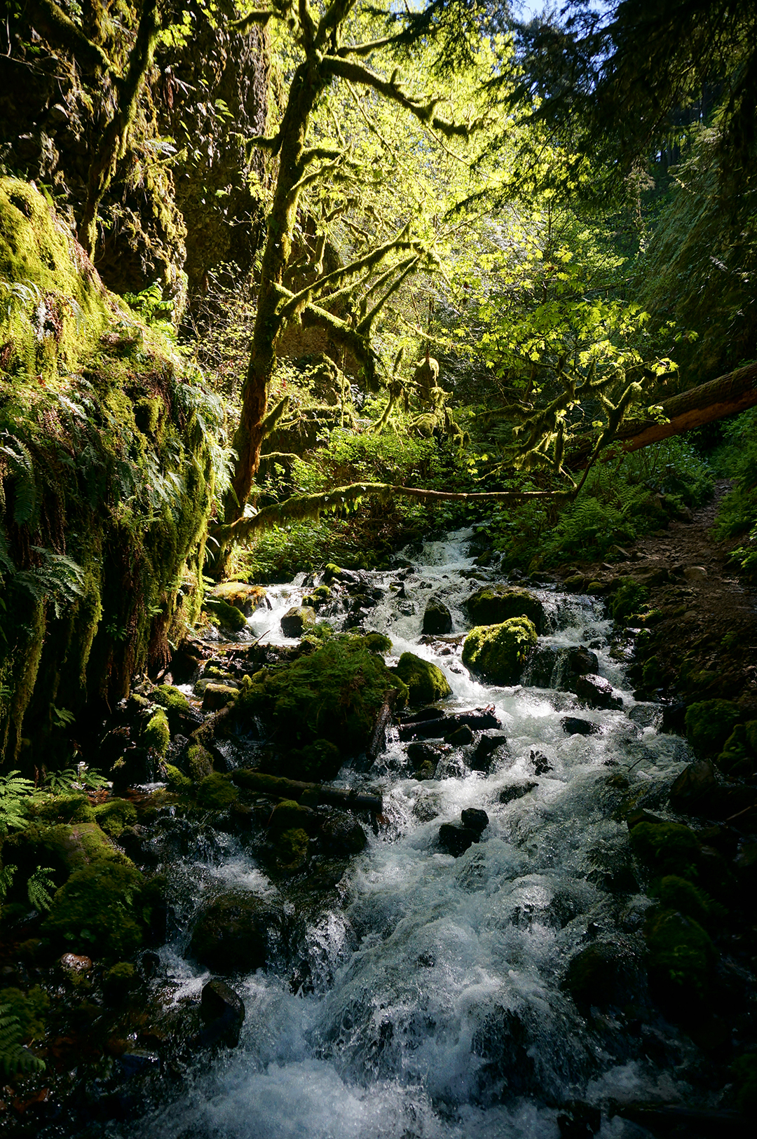
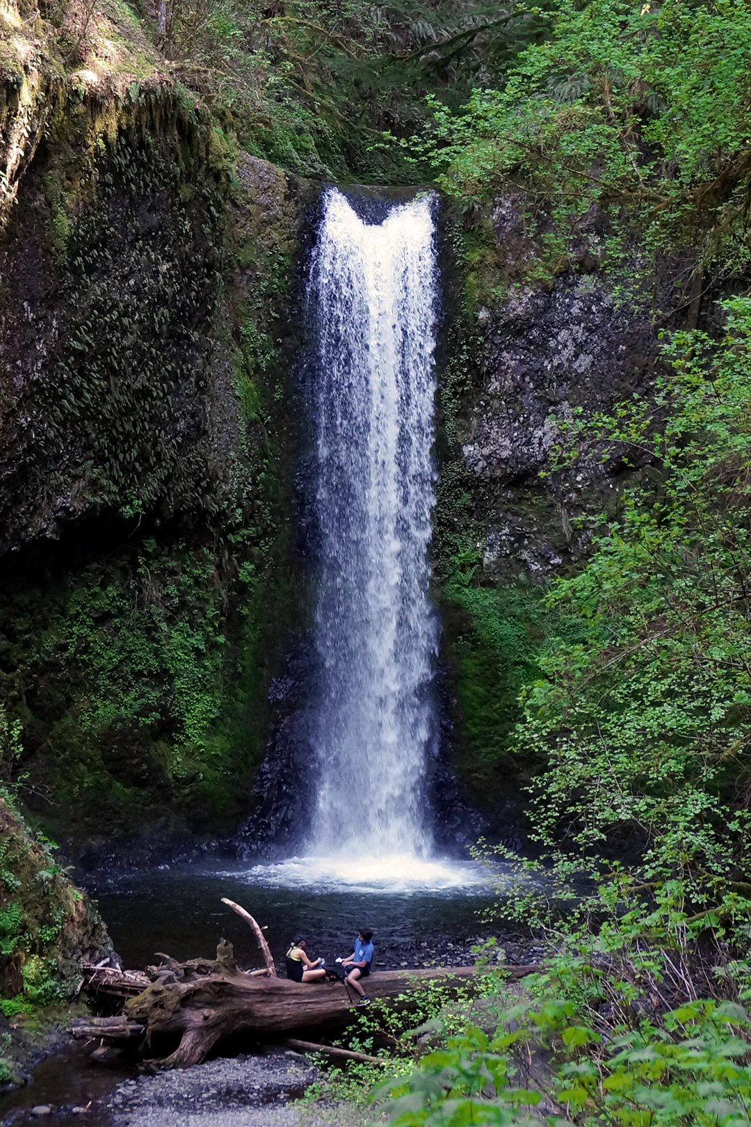
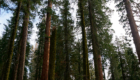
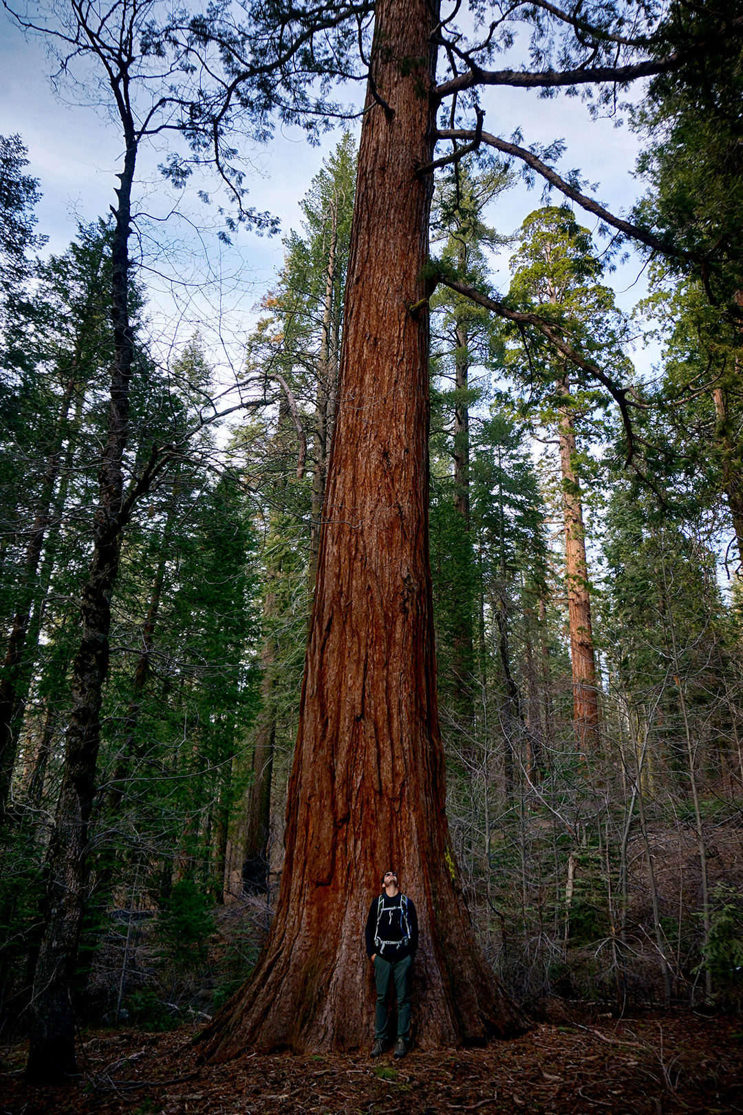
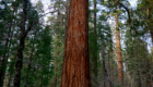
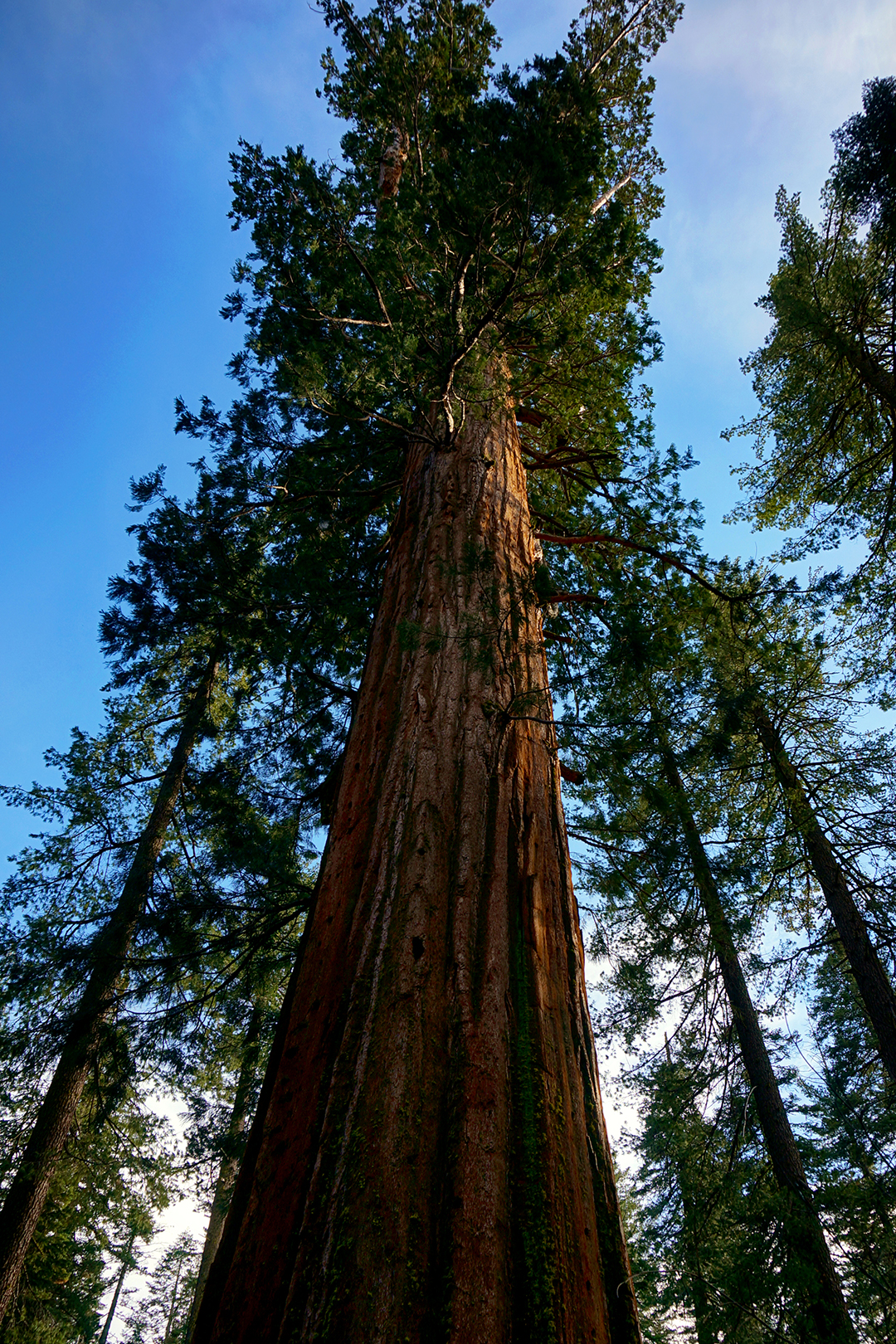
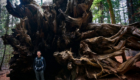
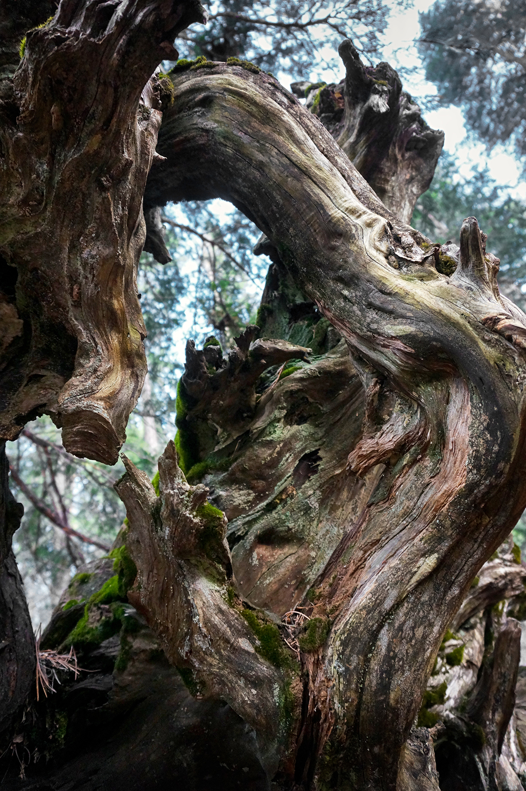
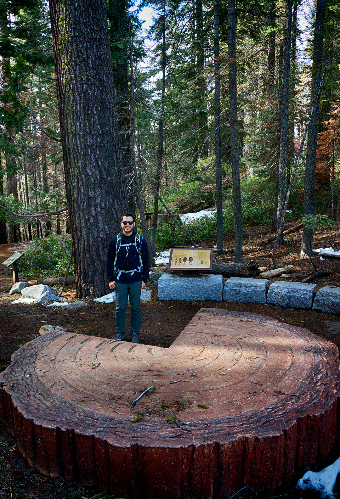
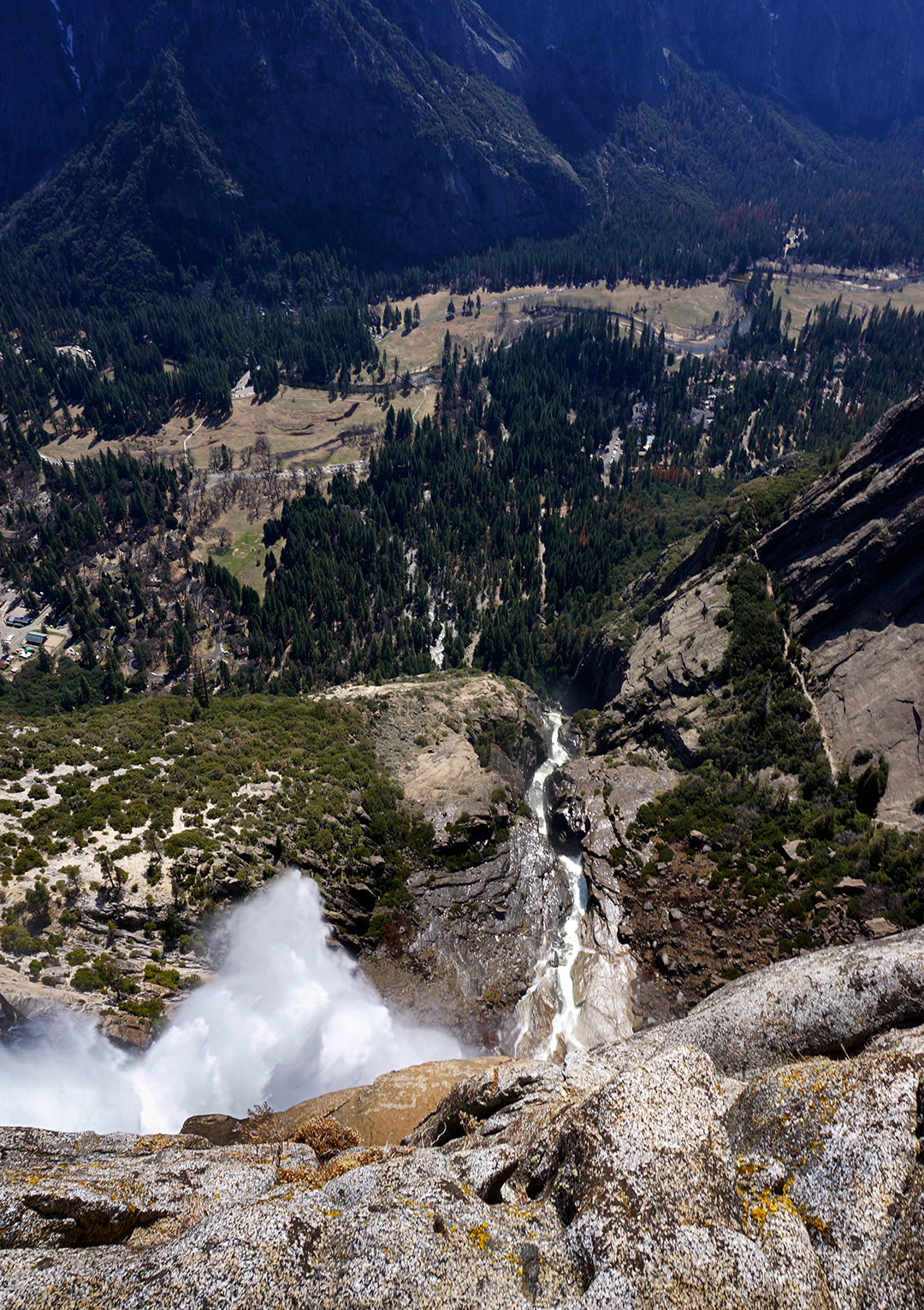
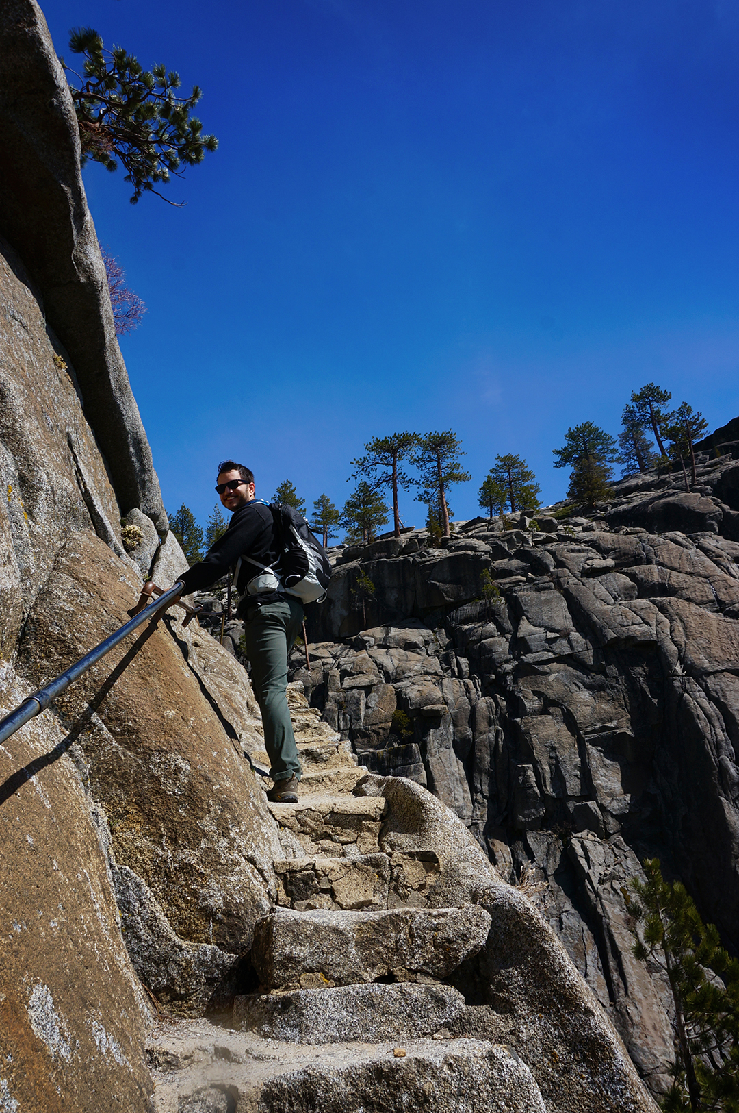
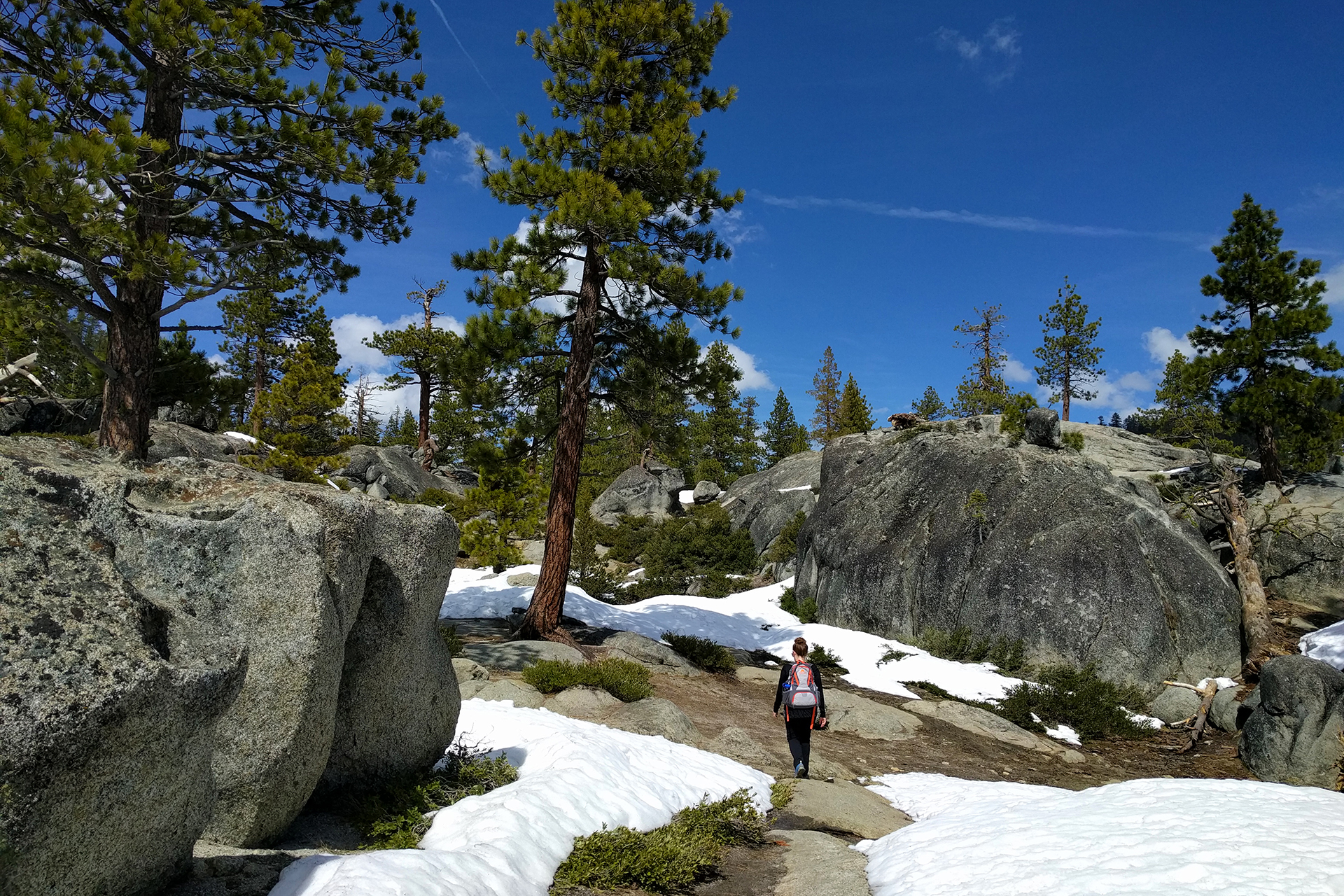
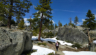
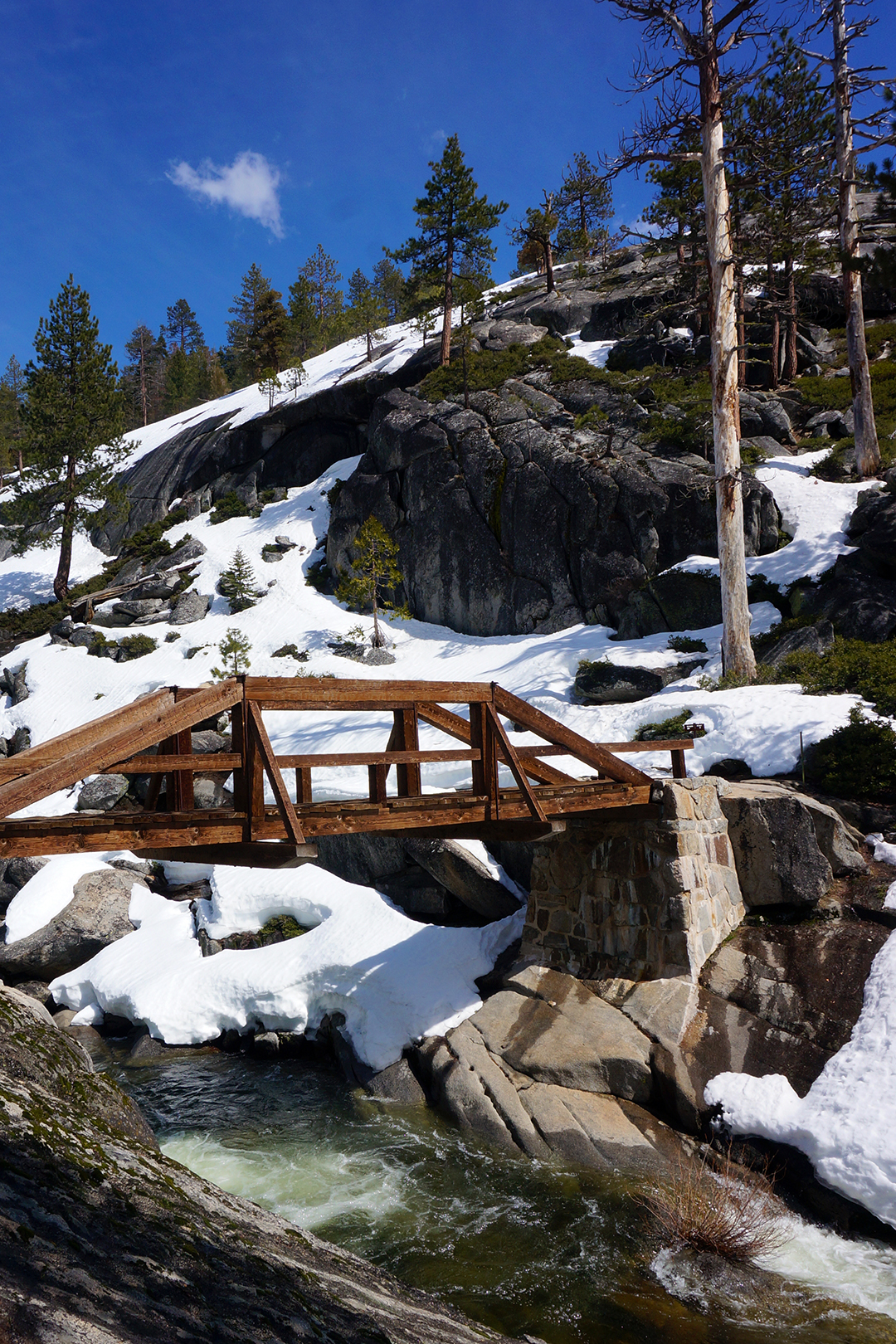
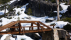
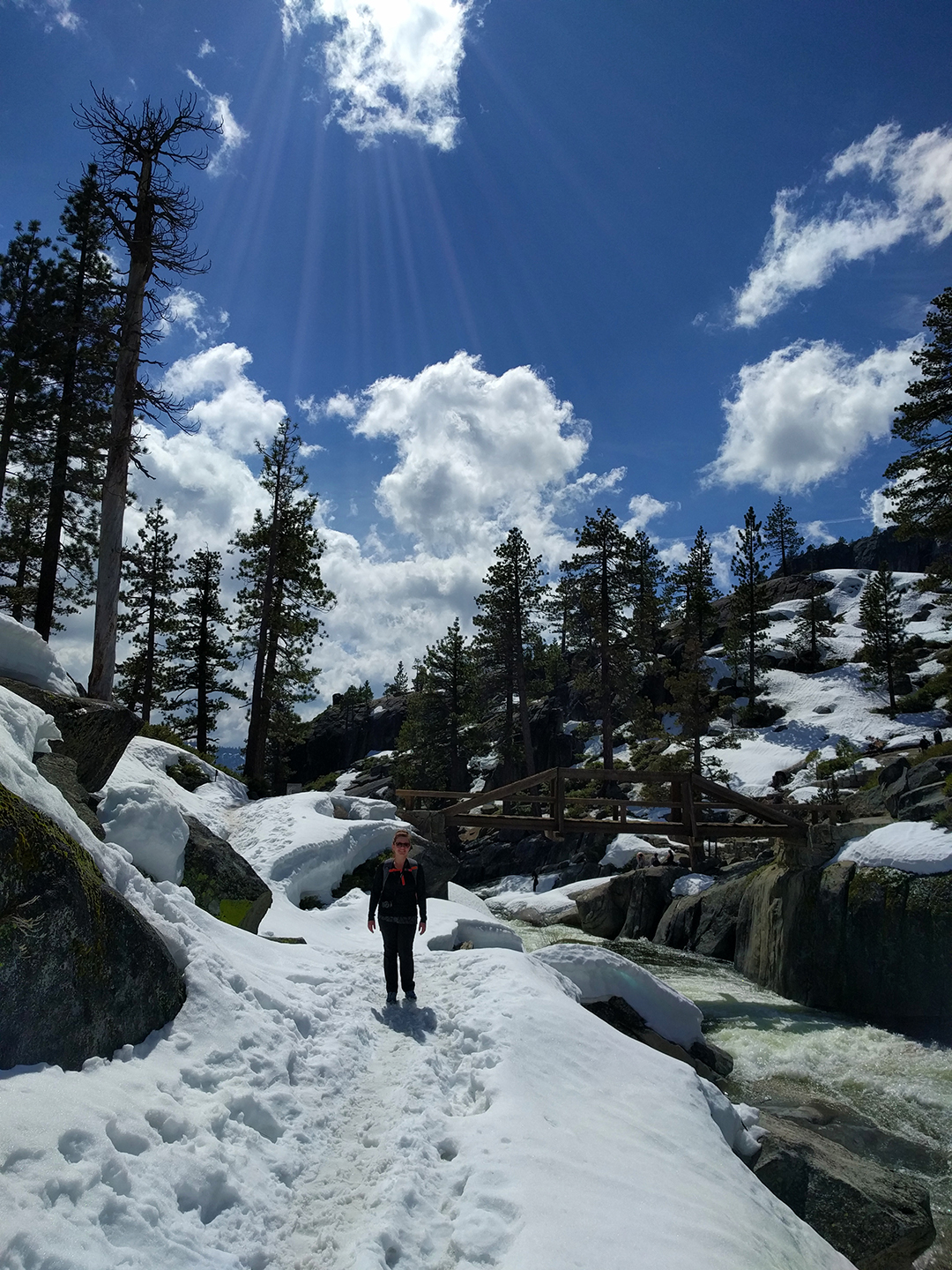
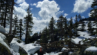
Later, we hiked through a spooky, 500-year-old forest to Avalanche Lake, where numerous glacier-fed waterfalls cascade down to the waters below.

Sadly, due to global warming, the park’s glaciers may be gone in as little as ten years.  If you or someone you know denies that climate change is happening… just visit Glacier.

Better hurry, by the way:  “In 1850, at the end of the Little Ice Age, there were an estimated 150 glaciers in the area that is now Glacier National Park. By 1968, these had been reduced to around 50. Today the number of glaciers in the park is 25, many of which are mere remnants of what they once were. Rapid retreat of mountain glaciers is not just happening in the park, but is occurring worldwide. If the current rate of warming persists, scientists predict the glaciers in Glacier National Park will be completely gone by the year 2030, if not earlier.”

(More examples at: USGS Repeat Photography Project)

We did our part to preserve the view.  We took an insane number of photos at Glacier, over 3,600, and we can say without conceit that most of them are amazing. Close your eyes and snap a photo, and the results were usually good enough to frame.

Heather had a very painful job choosing the pictures for this post.   We couldn’t squeeze it all into one post, but we’ll be back soon with the rest.  They’re even better!

Room with a View

Incidentally, we planned on taking a horse-riding expedition with our cowboy/AirBnb host, but unfortunately were rained out.  Instead, we took a gondola ride up nearby Whitefish mountain, where we gawked at mountain bikers speeding down the slopes and watched the impending storm slowly roll in.

We weren’t too sure what to do once we got to the (very chilly) summit, but it turned out there was a ski lodge there!  We stopped in for some quick refreshments, because when the opportunity arises to have a beer at the top of a mountain – you get a beer at the top of the mountain.

Roadtrip Time Travel

Roadtrip Status

We’ve reached the end of our roadtrip!  We’re settled down in Denver, but we’re going to keep making blog posts and posting our favorite photos from the trip, so stay tuned for more.

Follow Us On Social Media

FacebooktwitterinstagramFacebooktwitterinstagram

Latest Posts

0

Week 46: The Reverse Oregon Trail to the Moon

We first arrived at the Pacific Ocean in late January, and it was a constant companion for months.  But in early May, we finally hit our northward limit near Seattle, and it was time to hitch up our wagons, turn the corner, and bid a sad adieu to the West Coast.

We drove southeast across Washington, Oregon, and Idaho for two long but beautiful days, and it was fascinating to watch the terrain change before our eyes.  As we crossed the spine of the Cascade mountains, the pristine evergreen forests suddenly disappeared, turning into scrubland that reminded us of West Texas.

As it turns out, while western Washington is the wettest place in the country, the eastern parts of Washington and Oregon are high deserts.  Fresh off of redwoods and rainforests, it was a sudden transition, but a welcome one – because the desert is freaking awesome.

Grueling Pace

We covered a lot of ground in two days.  Our first night was spent at a Wal-Mart near La Grande, Oregon, an area which seemed pretty empty even to us.  The Wal-Mart parking lot was quite popular, though, especially among travelers – so much so that there was actually a placard where we parked our RV suggesting things to do in the area.

The next morning, we stopped at the excellent National Historic Oregon Trail Interpretive Center in Baker City, which was filled with cool displays about life on the actual Oregon Trail.  Sadly, there were no monocolor terminals available to play the original game (which we have a “slightaffinity for), but it was fascinating nonetheless.

Here’s a fun fact we’re pretty sure we saw here: people constantly tried to bring their 1,000+ lb cast iron stoves in their wagons with them, only to have to abandon them along the trail because of the weight.  A local entrepreneur realized this and began collecting the stoves from the trail, then bringing them back and selling them to new trailgoers, thereby creating his own, stove-based internal economy. Smart!

After checking out the museum and learning some interesting tidbits, we went outside and took a short hike through the blazing desert sun – still weird to think about in Oregon – for some pretty scenery…

… and a view of the actual wagon ruts from the actual Oregon Trail!

Wait, the actual Oregon Trail?  From the 1850s?

Well, that’s what they claimed, but upon reading the fine print, we discovered they were “reproductions” of where the wagons would have rolled.  Eh, close enough.

Fording the Snake River

After the Interpretive Center, we headed along essentially the reverse path of the old Oregon Trail.  Southern Idaho is basically one big mountain range with a giant valley cutting a pass through it – you can see it with Google Earth – and there’s really only one sane way to go across it.  We used the same way the settlers did, just slightly more easily.

We stopped for a few days in Twin Falls, Idaho, in the center of the valley.  We aren’t sure what we expected from Idaho, but it was surprisingly prosperous and normal.  We stocked up on supplies (but no cast-iron stoves), ate at a restaurant called Jakers (!!), and found out that there actually are two waterfalls in Twin Falls.

Oh, and the falls are spectacular.

Shoshone Falls claims to be the “Niagara of the West,” which is pretty questionable considering there were like 20 people there (and no casinos).  That said, it roars with some serious force.  The Snake River Canyon that it sits in is no slouch, either – a full mile wide, Evel Knievel once tried to jump the gorge on his “specially engineered rocket motorcycle,” but he failed when his parachute opened immediately on takeoff.  (A bummer to be sure, but it definitely could have been worse.)

The whole gorge area was extraordinarily beautiful, including the other waterfall and the Perrine Bridge crossing the chasm.  We really knew nothing about Twin Falls and didn’t expect to wander into something like this, but that’s basically why the West is awesome.

Crater Faces

The one thing we did expect to do in Twin Falls was visit Craters of the Moon National Monument, and it didn’t disappoint.  The “craters” are just remnants from an ancient lava flow, but they look otherworldly, especially in a setting like Idaho instead of Hawaii.

The lava field shown above is the North Crater Flow, and it’s only about 2,000 years old – a baby, really.  The oldest lava fields in the park are around 15,000 years old, and although they are currently “dormant,” they are expected to erupt in less than a thousand years. We thought about waiting around a couple hundred years to watch, but alas, our roadtrip schedule was unforgiving.

While the lava fields were pretty neat, our favorite feature of the park was the cinder cone. Inferno Cone is essentially a 160 ft tall sand dune made out of volcanic ash.

The only downside, and it was a big one, was the ungodly strength of the wind that day.  It was constant and oppressive.  Climbing up the Inferno Cone required pulling our hoods down and walking nearly parallel to the ground.  And since the ground was literally ash, we were under constant assault from airborne particles seeking to make their way into our eyes, ears, noses, and especially mouths.

Got some cool pictures, though.

After recovering from the volcanic ash pelting, we moved on to check out the Spatter Cones, the “Old Faithful” of Craters of the Moon. It’s pretty obvious why:  Old Faithful spews out hot water every 35-120 minutes, while the Spatter Cones spew out hot lava every… well, 500-3,000 years.

OK, maybe the comparison is a bit overblown.  Still, the Spatter Cones were pretty neat, and frankly, this is one eruption we’re thankful not to have seen in person.

The final feature at Craters of the Moon were lava tube caves. We really wanted to explore them, but it required a little hike to get to the caves, and we had hit our limit of bone chilling wind and volcanic cinders raining down on us.  The lava tube caves will have to wait for our next cross-country RV road trip.

On our way out we snapped a few more pictures.  Even the side of the road was cool.

Chekhov’s Interpretive Center

Whew!  This was a long blog post.  [Ed. note: Heather really loved Craters of the Moon and made that section approximately 800 times longer.] But hold on for one more second, because we’re about to tie this entire thing together with a bow.

Remember how we started this post with the Oregon Trail? Well, just outside of Craters of the Moon is a rather pretty area known as Goodale’s Cutoff.

Pioneers on the Oregon Trail used Goodale’s Cutoff, an alternate route along the trail, to skirt the lava flows and avoid potential Shoshone Indian attacks along the Snake River. The Cutoff paralleled the Oregon Trail for some distance, before rejoining it in… Baker City, home of the Oregon Trail Interpretive Center!

And so, just like the moon’s orbit, we have come full circle.

Roadtrip Time Travel

Roadtrip Status

Still alive?  Check.

Where are you now?  Indiana Dunes State Park, near Chicago, seeing lots of old friends.

Next location?  Still TBD.

Follow Us On Social Media

FacebooktwitterinstagramFacebooktwitterinstagram

Latest Posts

0

Week 43: Portland, Oregon

Portland, Oregon is a pretty magical place, and the City of Roses immediately became one of our favorite cities. We had high expectations to start with, and it exceeded them all – at least, until it started raining.

PNW Fever

Hang on, we’re getting a little ahead of ourselves. We stayed in Portland for a while, by our standards (10 days), in no little part due to the fact that the RV park we stayed at had amazingly fast internet. For your wilderness-living correspondents, this was as exciting as having a chocolate fountain right outside our door.

Well, maybe not that exciting. But still, pretty exciting.

On top of the fast internet, the weather when we arrived in Portland was unusually beautiful – sunny, dry, mid-70 degree temperatures. The city itself is also very pretty – lots of trees, everywhere – so the whole experience was outrageously pleasant. In fact, on our first day in Portland, we saw a double rainbow in the grocery store parking lot.

We took advantage of the beautiful weather to scope out the city, and our love kept growing. There were delicious Voodoo Doughnuts, a waterfront market, food trucks as far as the eye could see, and the International Rose Test Garden – a testbed for experimental roses, free to stroll.  We were a little early for the roses, but the rhododendrons were in full bloom.

On top of the great weather, everyone in Portland is friendly and laid-back. It must be mentioned that they’re also a bit eccentric – along with Brooklyn, Portland is ground zero for modern hipsterism – but we got along well with everyone we met. As far as we’re concerned, the more handlebar mustaches in this world, the better.

We finally got our Honda Fit fixed, for real (previous issues chronicled here and here), and the friendly mechanic mentioned that the pervading worry in the town was about rising rent prices and the influx of professionals. “They’re trying to turn us into a real city,” he said, sadly.

Real city or not, there is an abundance of fun stuff to do in Portland. Our friends Autumn and Aaron happened to be visiting, along with their cute baby and Autumn’s parents, so we met up with them for lunch at the Deschutes brewery (yum).

Later, we headed to the Oregon Museum of Science and Industry (“OMSI”), an awesome museum featuring an exhibit on video games (!) with dozens and dozens of playable games (!!). Pretty sweet, but the permanent exhibit was equally cool, with “hands-on” science toys like a Van de Graaf machine, water-pressurized soda bottle rockets (Heather was good at those), a chemistry lab, a vertical wind tunnel for paper airplanes, a crazy kinetic sculpture, and much more.

Science is just the best, isn’t it?  The friendly and knowledgeable volunteers were even kind enough not to mention the fact that we were adults playing with exhibits clearly intended for children.

Oregon is Gorges

While staying in Portland, we explored the nearby Columbia River Gorge. A crucial but treacherous path to settlers on the Oregon Trail, the gorge cuts through a lush and mountainous region just north of Mount Hood. Years later, an excellent-but-narrow scenic drive was created that follows the river past numerous waterfalls. (Seriously, there are an unreasonable number of waterfalls here.)  Want to see some pictures? Of course you do.

At the end of our drive we hiked up the hill behind Multnomah Falls. It was a tough climb, but the half-dozen beautiful waterfalls and striking views of the gorge were well worth it. Jake was particularly enchanted with a section of trail that passed through a high forest, lit by late afternoon sunbeams filtering through the canopy overhead. It remains one of our favorite hikes.

The icing on the nature-cake was Multnomah Falls itself, a towering waterfall with a picturesque viewing bridge installed in front of it. After the quiet of the woods, it was tough to deal with the crowds at the base of the falls, but we can’t really blame them – this is one of the most scenic waterfalls in the country.  Selfie away!

The Hood

Our final visit in the Portland area was to Hood River, a small town to the east situated on the Columbia River gorge. It’s a town known for two things: its extreme sports activities, and its beer. We killed two birds with one stone by eating lunch on the patio at Full Sail Brewing, which overlooks the river.   While we feasted, we watched dozens of windsurfers swoop, glide, and even flip across the water, an intricate and endlessly fascinating dance.

Pretty amazing. We have to say, based on our visit, the Portland area truly seems like a great place. After three days of sunshine, we were ready to live there forever… and then there were about six straight days of cold, constant rain. It was a chilling reminder that Portland’s mild winters can still be, well, chilling.

So Portland might not be perfect – but it’s still on our post-trip shortlist.

Roadtrip Time Travel

Roadtrip Status

Still alive?  Check.

Where are you now?  The great and empty state of North Dakota, exploring some cool badlands at Theodore Roosevelt National Park.

Next location?  Fargo, then Minneapolis, as we head east towards Chicago!

Follow Us On Social Media

FacebooktwitterinstagramFacebooktwitterinstagram

Latest Posts

0

Week 39: Yosemite National Park

After eating our way through San Francisco, we headed back to nature to walk a few pounds off.  Southeast of San Francisco is the famous Yosemite National Park, and we visited for two days in late March.  Although much of the park was still closed due to snow, we loved it there – once we got away from the crowds.

Intro to Yosemite

For anyone that hasn’t been there, Yosemite was one of the first national parks, and its beauty is staggering.  Because of road closures, we spent most of our time in Yosemite Valley, a huge, impossibly lush valley that sits between towering cliffs.  It looks a little like something from the Land Before Time movies, and everything about it is spectacular.

El Capitan, near the entrance to the valley, is a sheer, 3000 foot high cliff. Half-Dome, seen in many of our photos, outdoes that with an incredible 4,800 foot rise from the valley floor.

But it’s not all cliffs – Yosemite has a higher concentration of large waterfalls than any other place on earth.  Or rather, sometimes it’s both; Yosemite Falls is the highest waterfall in North America and it has a 2,400 foot drop (in three stages).

We’re Gonna Need a Bigger Camera

Yosemite is also known for its groves of giant sequoias.  Sequoias are not just the largest trees, they are the largest single organisms by volume, anywhere in the world. They are incredibly huge, and they live for thousands of years.  In fact, giant sequoias are so badass, they release their (surprisingly tiny) pine cones only during forest fires – which they then survive easily.

Unfortunately, sequoias only grow in a thin strip of the Sierra Nevada mountains.  Like their taller but more slender cousins the coastal redwoods, very few are left due to logging activity, and all known trees are protected by state and national parks.

Sadly, the 200+ sequoias at Mariposa Grove at Yosemite are off-limits for all of 2016 due to restoration efforts.  We therefore hiked down to another grove, which has only 25 sequoias.  A little disappointing, but we were awed by the few we saw anyway.

Trip to the Top

Yosemite’s most famous hike is the notoriously brutal Half-Dome, but that was closed for the season.  We’re not sure whether we would have tried it, but in any event, we ended up on another legendarily difficult hike: The Upper Falls trail. This hike climbs to the top of Yosemite Falls (pictured below), rising up 2,700 feet in just 3.5 miles via an unending, unrelenting series of switchbacks over loose, rocky terrain.

Friends, the scenery was incredible, but this was the toughest hike we’ve ever done.

We’re still not sure how we made it up, but we did.  Once we reached the top, we walked down to the viewing platform near the falls, which requires a slightly terrifying walk along a narrow, extremely windy ledge holding only onto a pipe railing.  To be honest, the small and unsatisfying viewing platform, combined with the wind, may not have been worth it.

Gluttons for punishment (and maybe delusional from endorphins), we then somehow decided to do a “slight” extension to our hike by heading up to Yosemite Point (it’s the cliff in the upper left of the photo below).

Only a half-mile each way, we didn’t realize this would entail walking further up a mountain through giant melting snowfields, the trail utterly lost beneath the snow.

While hiking in the snow was challenging, it was pretty fun, especially since it was warm out. We tossed a few snowballs around, and it didn’t even occur to us that we were hiking next to, then above, the rapidly flowing river that becomes Yosemite Falls.

Even though we lost the trail a few times, our hike to Yosemite Point was well worth it. The views were spectacular, and almost no one else was around.

The way back down, however, was a different story. We did it gracefully, and definitely not by sliding on our butts down the hill and getting snow in every crack and crevice.

Definitely not.

From there, it was still another 5+ miles back to our car.  Although it was downhill, hiking at this point was truly exhausting, and our feet and knees were screaming by the end.  Plus, Jake drank a full three liters of water on our climb, and there were no bathrooms or private spaces on the trail, so… he was very motivated to reach the bottom. Heather stopped to take a few photos of the valley and check out our fitbit stats, while Jake made a beeline to the facilities.

Crowding Around

Yosemite is amazing, but the unfortunate truth is that it is also very crowded. Even during March, with half the park closed, we encountered very long line at the entrance station.  Inside the Valley itself, there were thousands of people at any given time.  National parks are usually quiet, but Yosemite has its own federal courthouse inside the park.

We don’t mean to give the wrong impression – it’s great that so many people are out visiting such an awesome park.  But we saw so much bad behavior as a result of the crowds, stuff like slamming on the brakes in the middle of a 45 mph roadway – with no warning – because something looks pretty.  Or double- or even triple-parking in the closest parking lots, rather than walk 100 yards.  At one point, we saw an obese person driving around in a motorized Rascal with a basket full of snacks (seriously).

Again – this was in March! If you visit, and you should, we definitely recommend you go during the off-season.

Prospecting For Jerks

While visiting Yosemite, we stayed in the small town of Mariposa, which is about 45 minutes away (and a gorgeous drive). Mariposa is cute, with a “prospector” shtick, based upon its days as a mining town.  We stayed in the Mariposa Fairgrounds, which is basically a giant, empty grass field with power plugs.

We didn’t have much Internet, but everything was fine, until the biggest RV we have ever seen pulled in.  So large, it was pulled by a tractor trailer cab!  And… it parked right next to us.  Despite the fact that we were the only other people in a 100+ yard empty grass field.

We thought that was annoying, but they topped it by pulling forward to unload their ATVs from the back of their RV.  Instead of then reversing back into a spot, they ran extension cords out to their rig, which was now parked in the center of the field.  So despite nobody else being around, they managed to find the only possible way to be uncomfortably close to us.

Amazing stuff.

Roadtrip Status

Still alive?  Check.

Where are you now?  Ogden, Utah, just north of Salt Lake City.

Next location?  The Grand Tetons and Yellowstone National Parks!

Follow Us On Social Media

FacebooktwitterinstagramFacebooktwitterinstagram

Latest Posts

1

Week 3: Watkins Glen is Magic

To start off Week 3 of our roadtrip, we spent 3 nights camping at Watkins Glen State Park.  Watkins Glen is a jewel of a park located about 30 miles west of Ithaca, NY, where we stayed in Week 2.  It is rated #3 on USA Today’s list of Best State Parks in the United States, and it totally rocks.

Watkins Glen seems like the sort of park that hobbits would build, with a hiking trail that wanders through a beautiful, steep-sided gorge, handcut stone walls and bridges, sparkling waterfalls, and even a lily pond.  The trail is cut into the walls of the gorge itself, and it goes much closer to the water than you normally can at these kinds of parks.  Possibly this is because the park was first built in the 1860s, before we had the word “safety.”  (As you will see in our photos, the park also features what can only be described as a “pre-ADA number of stairs.”)

Whatever the reason, the park is frankly breathtaking.  Rather than try to describe it further, just look below at some of the many, many pictures “we” (OK, Heather) took at the park.  There are captions on some of them if you click through the gallery.  Keep reading after the gallery for a few bonus pictures and some shameless self promotion.

Bonus stuff:  The campground at Watkins Glen State Park was fantastic, with generous camping sites nestled beneath gigantic trees.  Our neighbors were slightly insane, but aside from that, it was as good as it gets.

After hiking, Jake successfully made a “fire,” cementing his place as one of history’s greatest heroes and outdoorsman.  We made s’mores and high-fived ourselves for going on this trip.

On our last night in Watkins Glen, a huge thunderstorm was forecast to hit us dead-on, but luckily just missed to the south.  This was good, since the lightning we could see from our window was enough to scare anyone.

Following the storm, the sky – which, at 6 o’clock on a bright summer day, had gone almost as dark as night – lightened into an amazing sunset.  Heather endured many, many mosquito bites to photograph it for you, so be sure to feel appropriately appreciative.

What’s next:  We’ve had a few adventures since Watkins Glen which we’re going to write about separately, including trips to a ridiculously cool sculpture park and Lake George.  Currently, we are in Connecticut near Black Rock State Park, where it is rocky and extremely hot.  Later this week, we’re traveling to Hammonasset State Park to get our beach on.

Obligatory social media self-promotion:  If you want to follow along and you haven’t yet, please Like us on Facebook and/or follow us on Twitter (@NothingMundane) and/or Instagram (NothingMundane) to make sure you get all the updates.  If you like what you see, we would be very grateful if you could tell your friends and online advertising buyers about us.

If we get ten more followers, we’ll buy one of you a puppy!  So, please check for packages regularly.

3