Week 47.1: The Grand, Grand Canyon

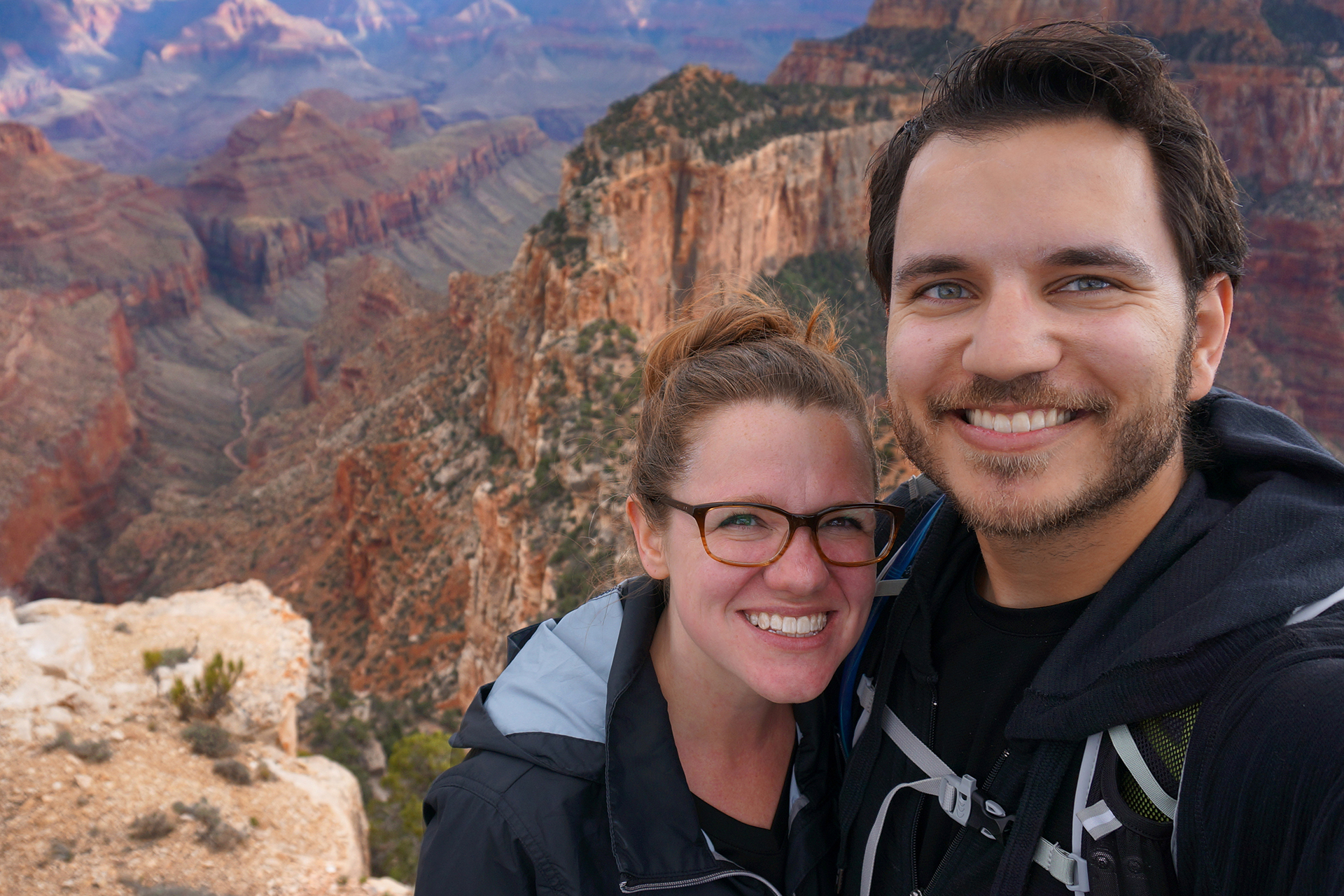
The Grand Canyon has been the focus of innumerable road trips, and it’s been at the top of our “to-see” list for ages.  In mid-May, we finally got the chance, and we drove 70 miles from our campground in Kanab, Utah to the North Rim.  To be more precise, we went on May 16, which was fortunate, since the road to the North Rim had only opened for the 2016 year on May 15.  We had no idea.

If you ever get to choose, “clueless but lucky” is our recommended way to travel.

Aw, hail

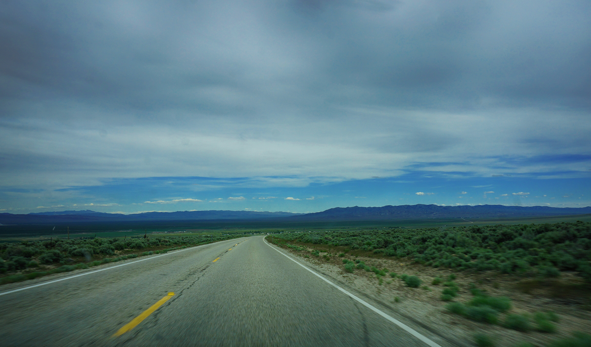
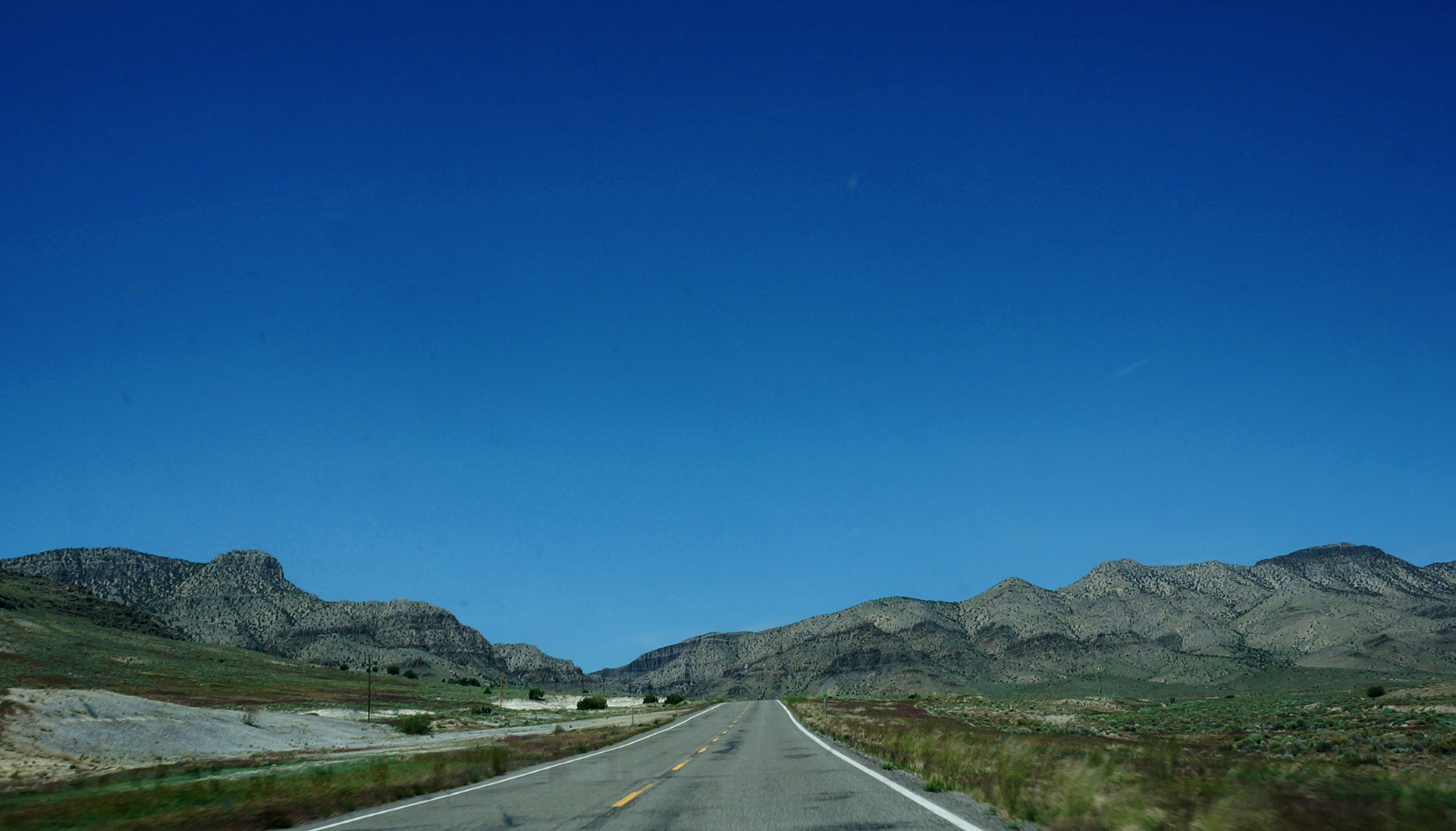
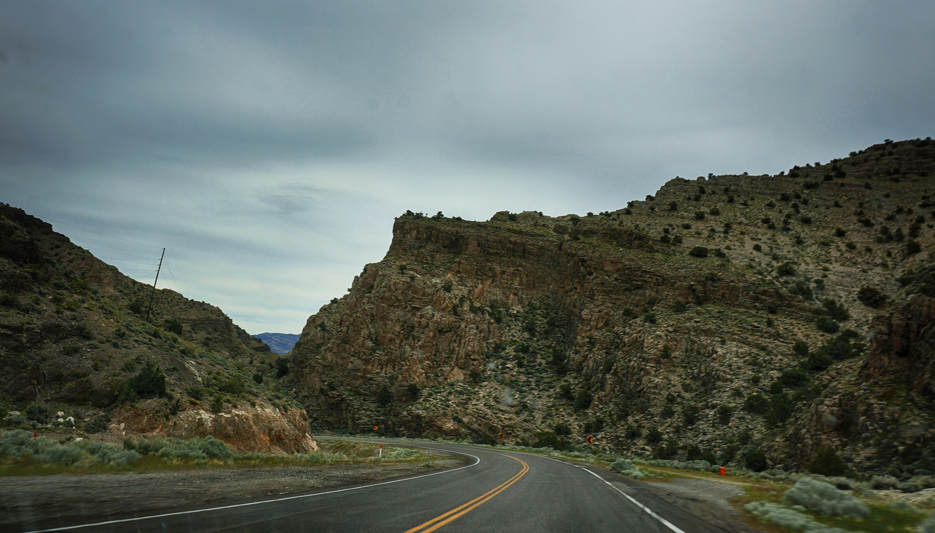
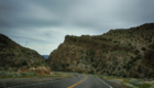
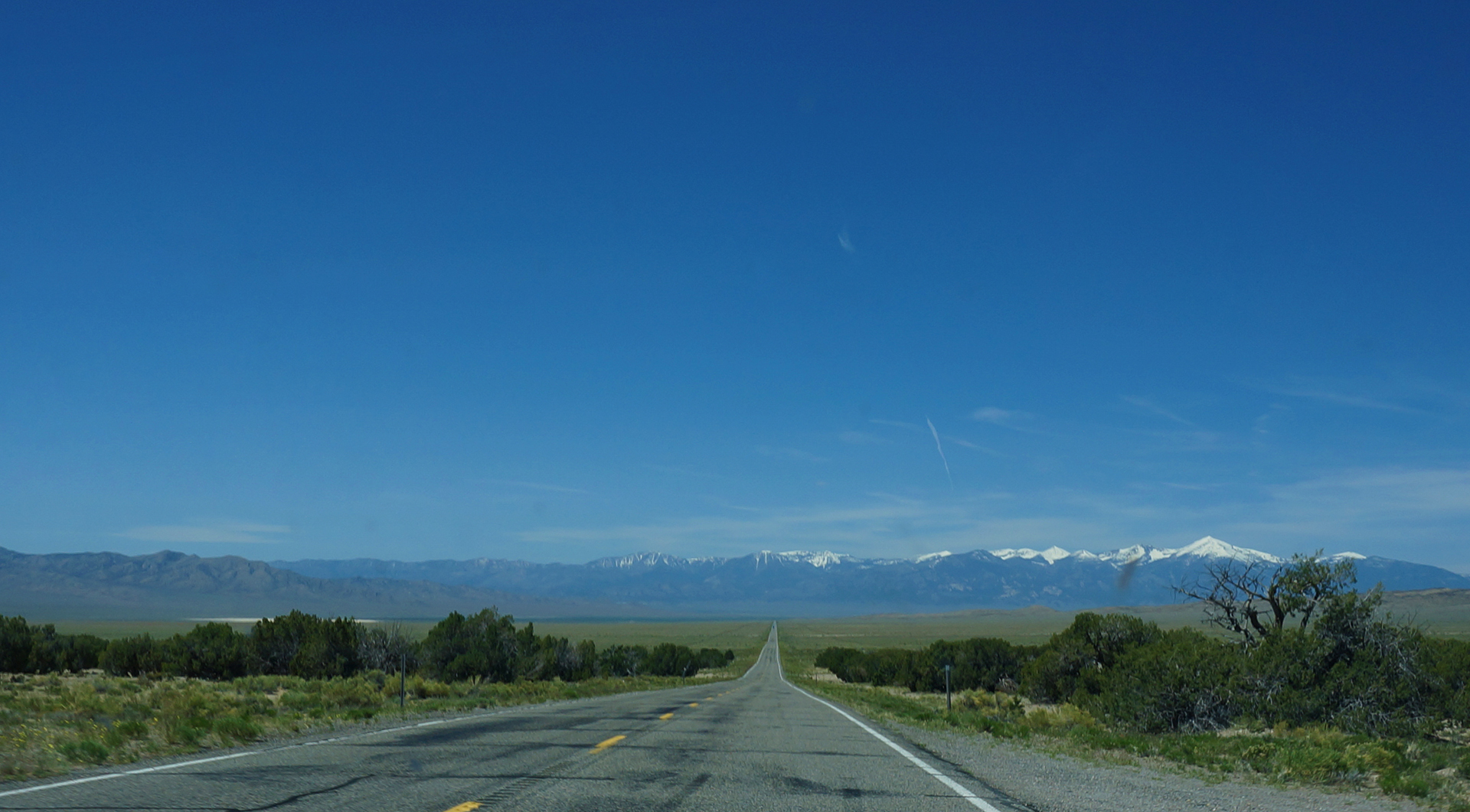
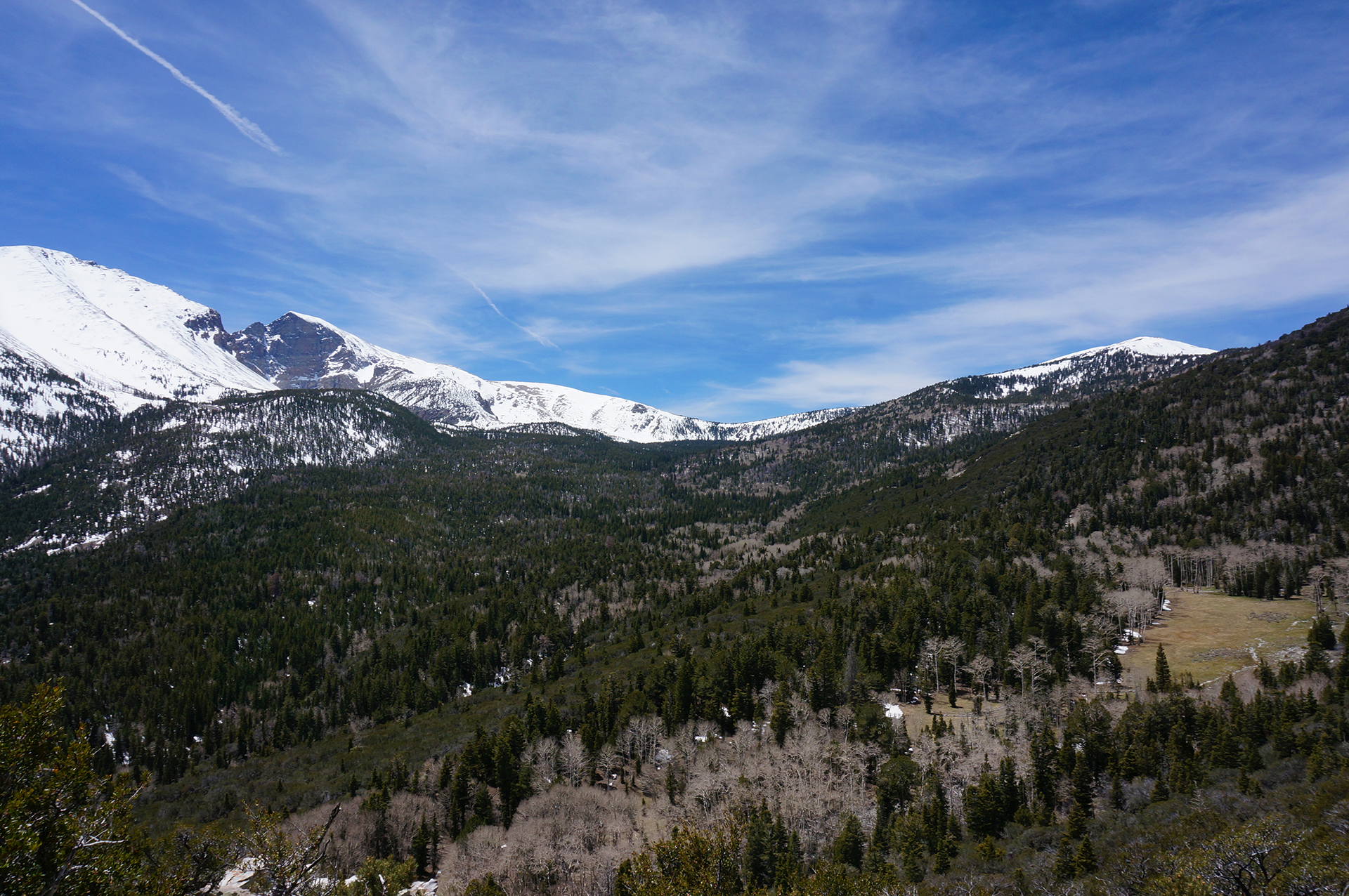
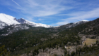
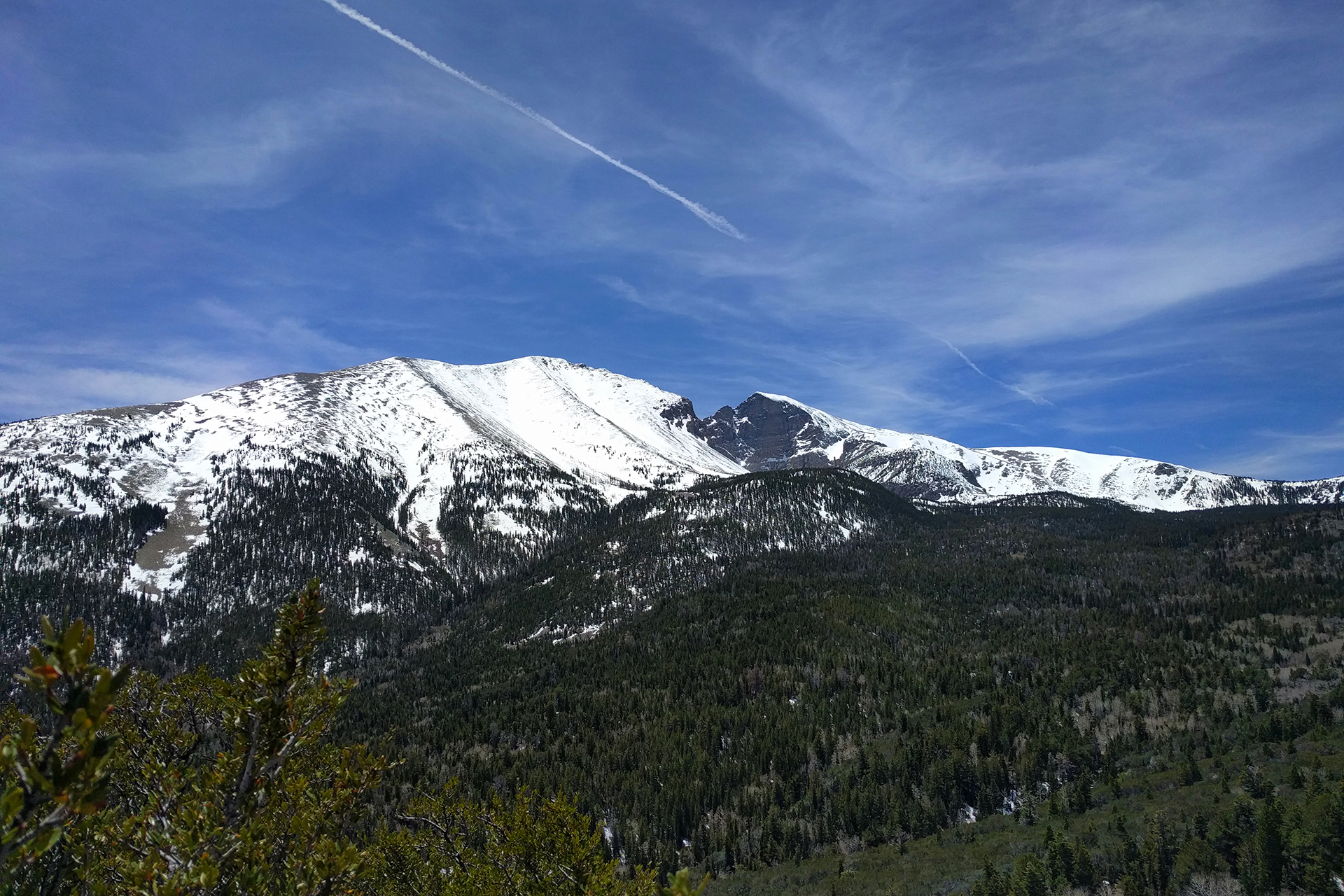
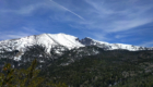
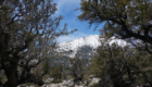
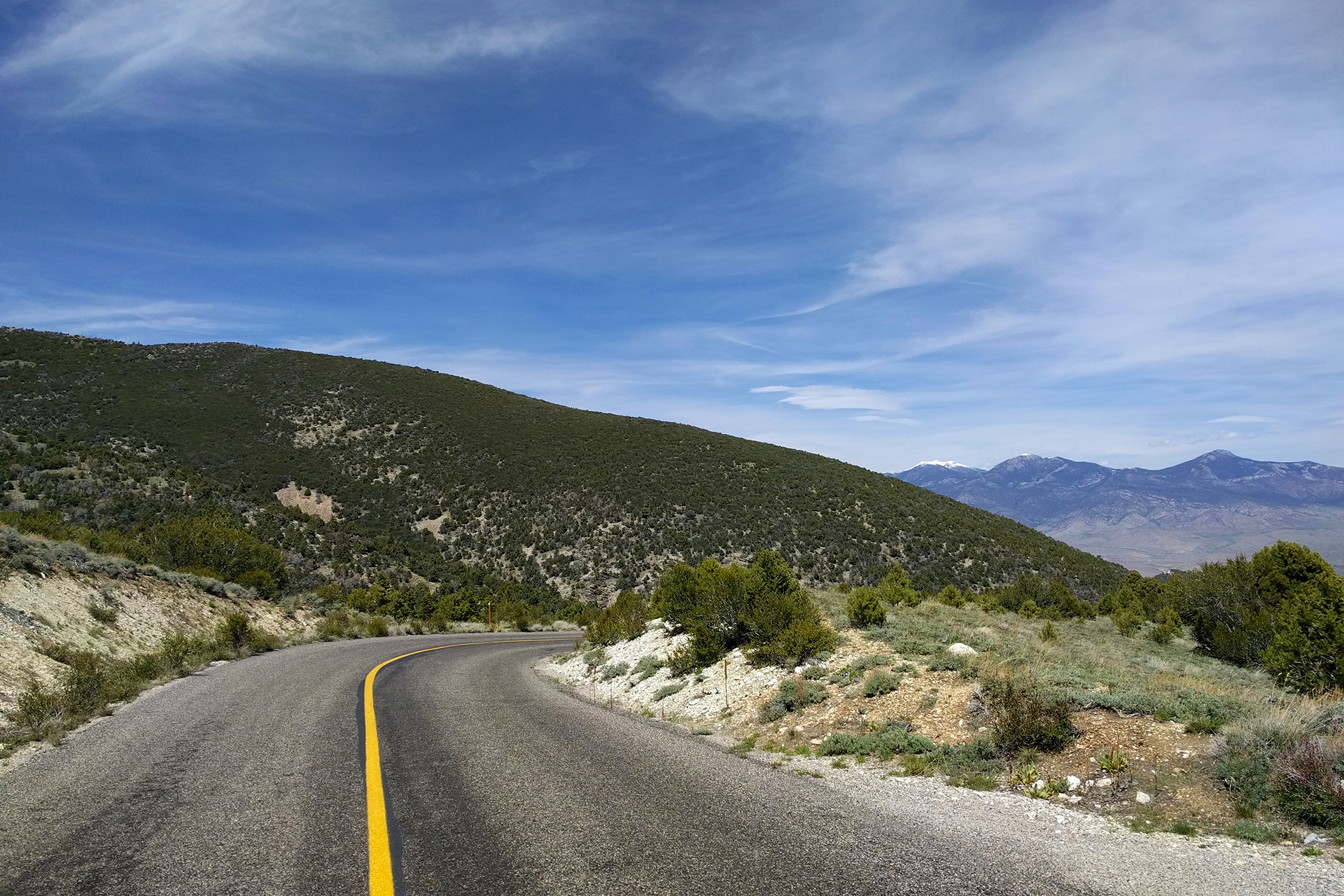
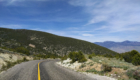
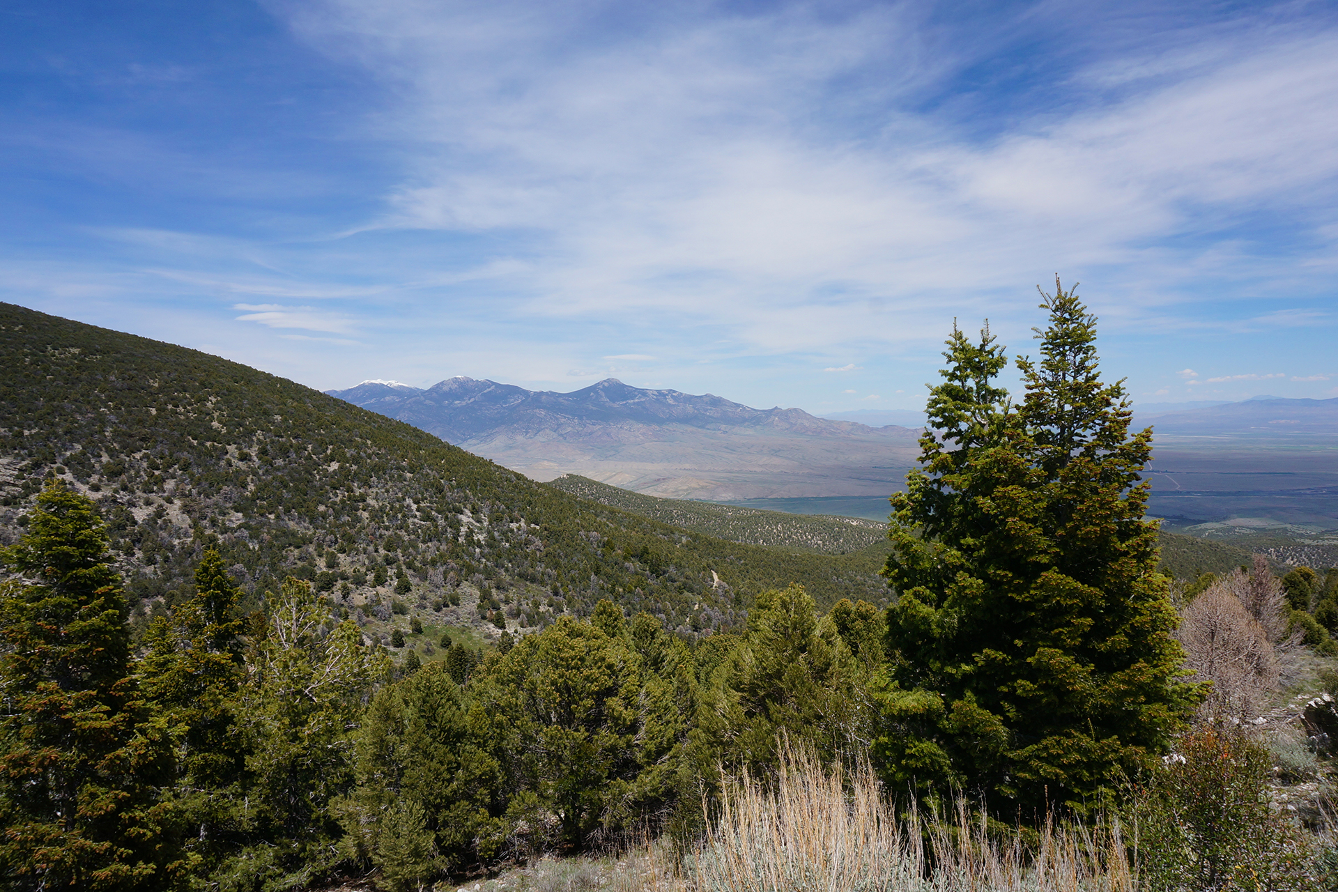
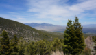
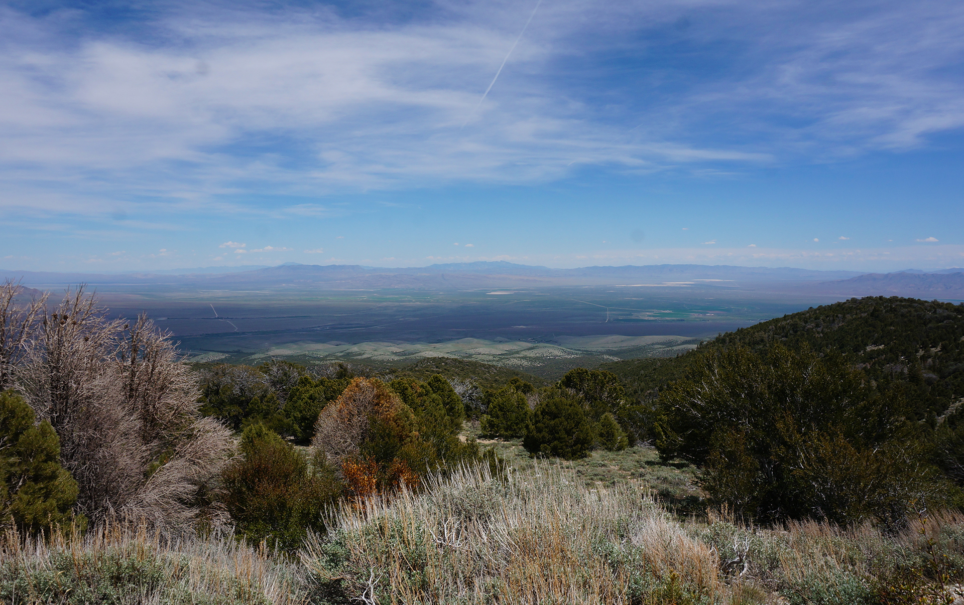
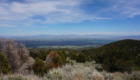
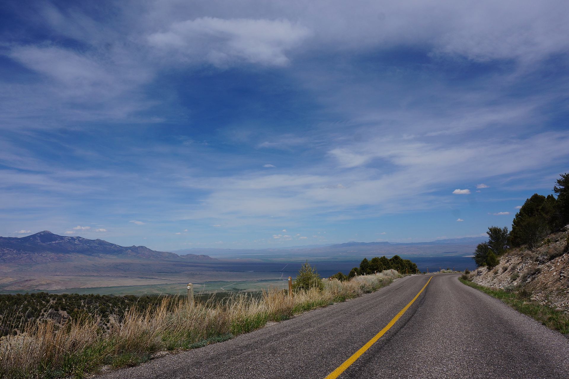
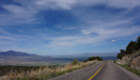
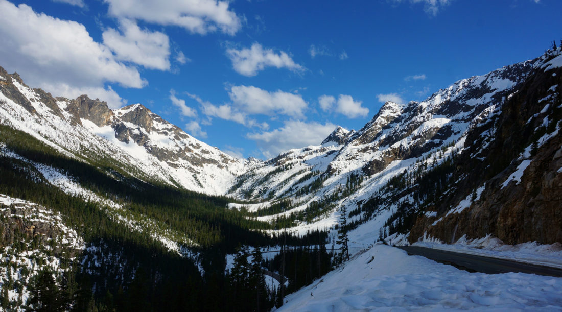
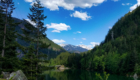
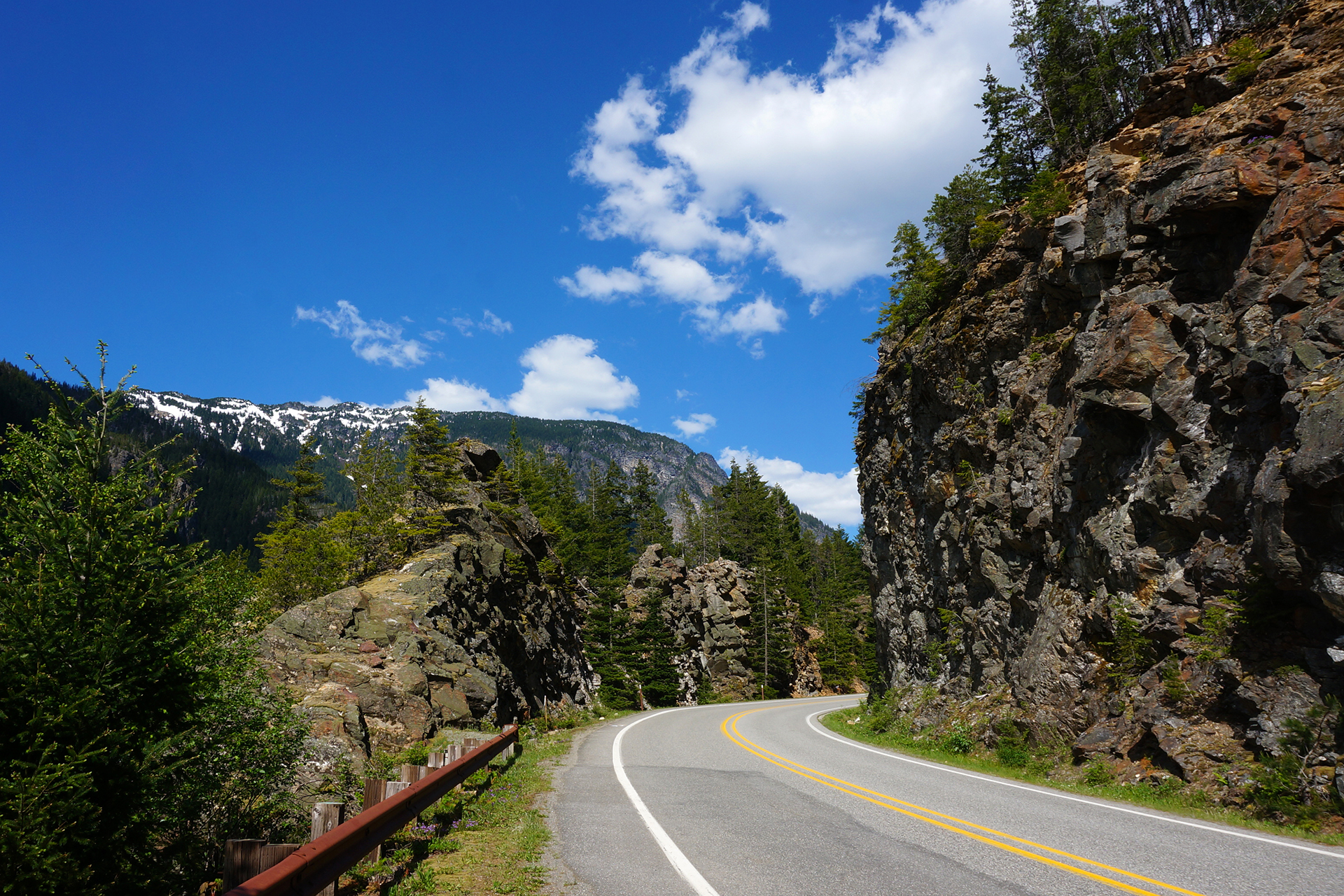
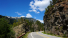
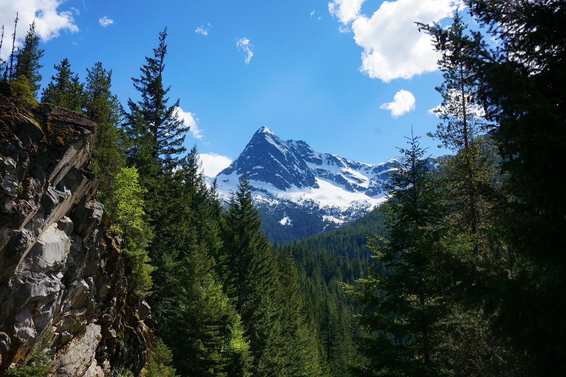
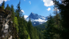
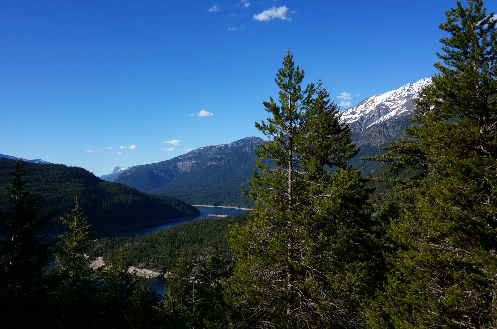
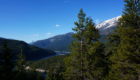
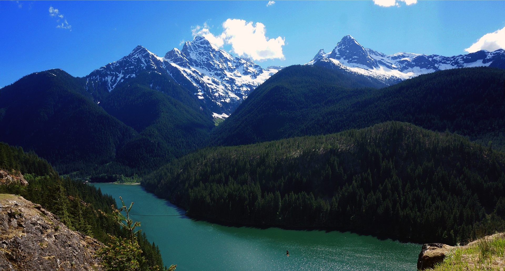
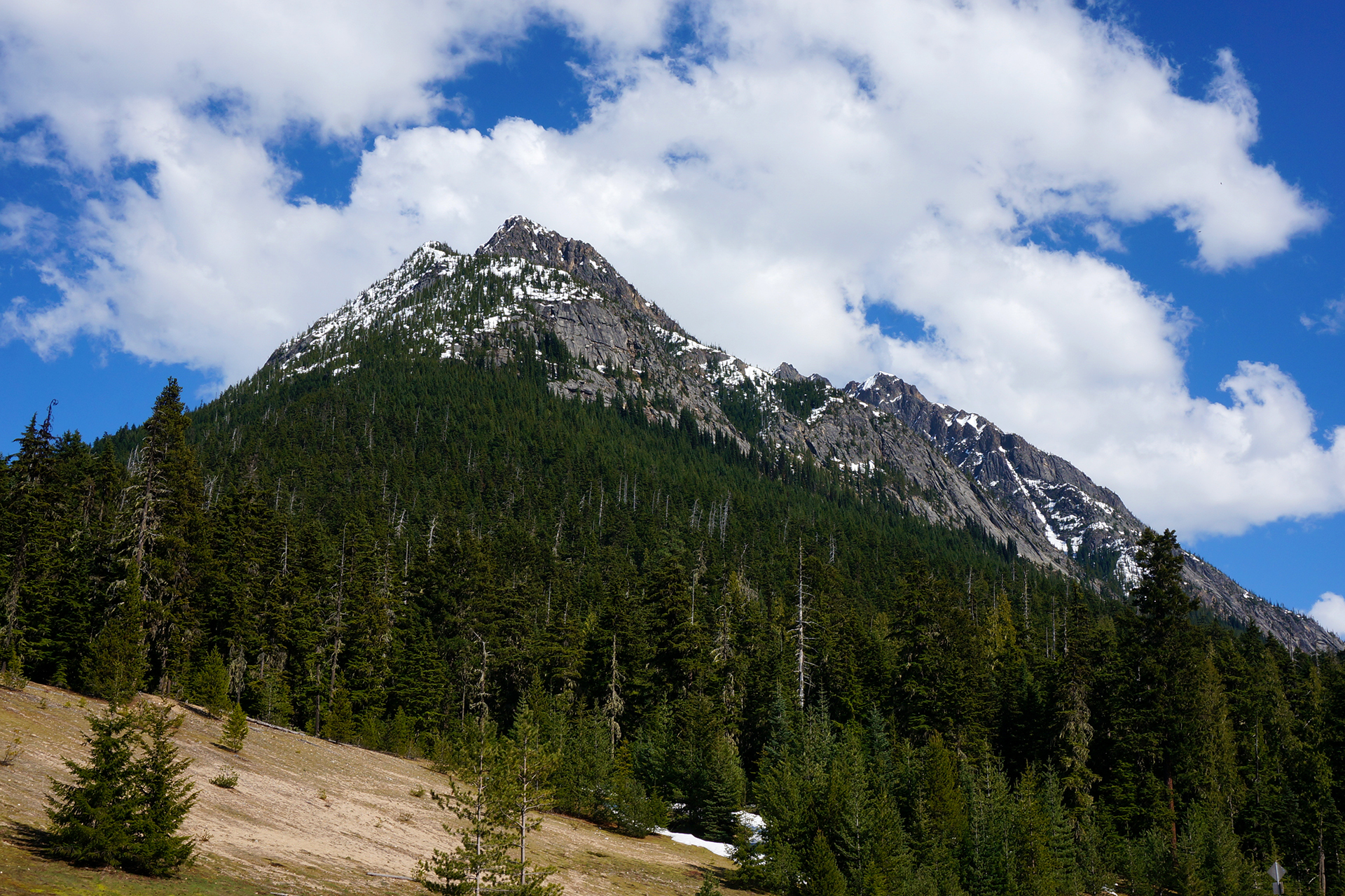
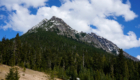
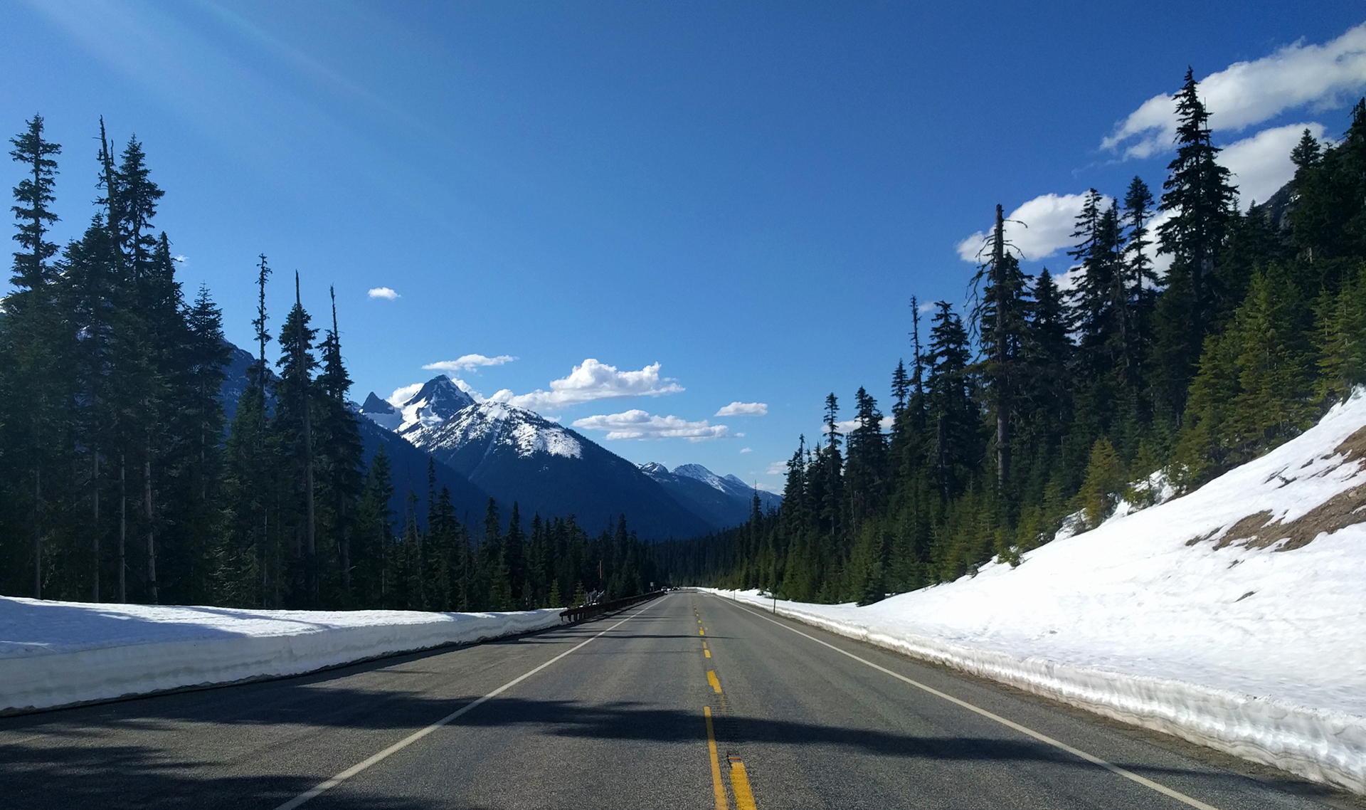
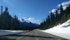
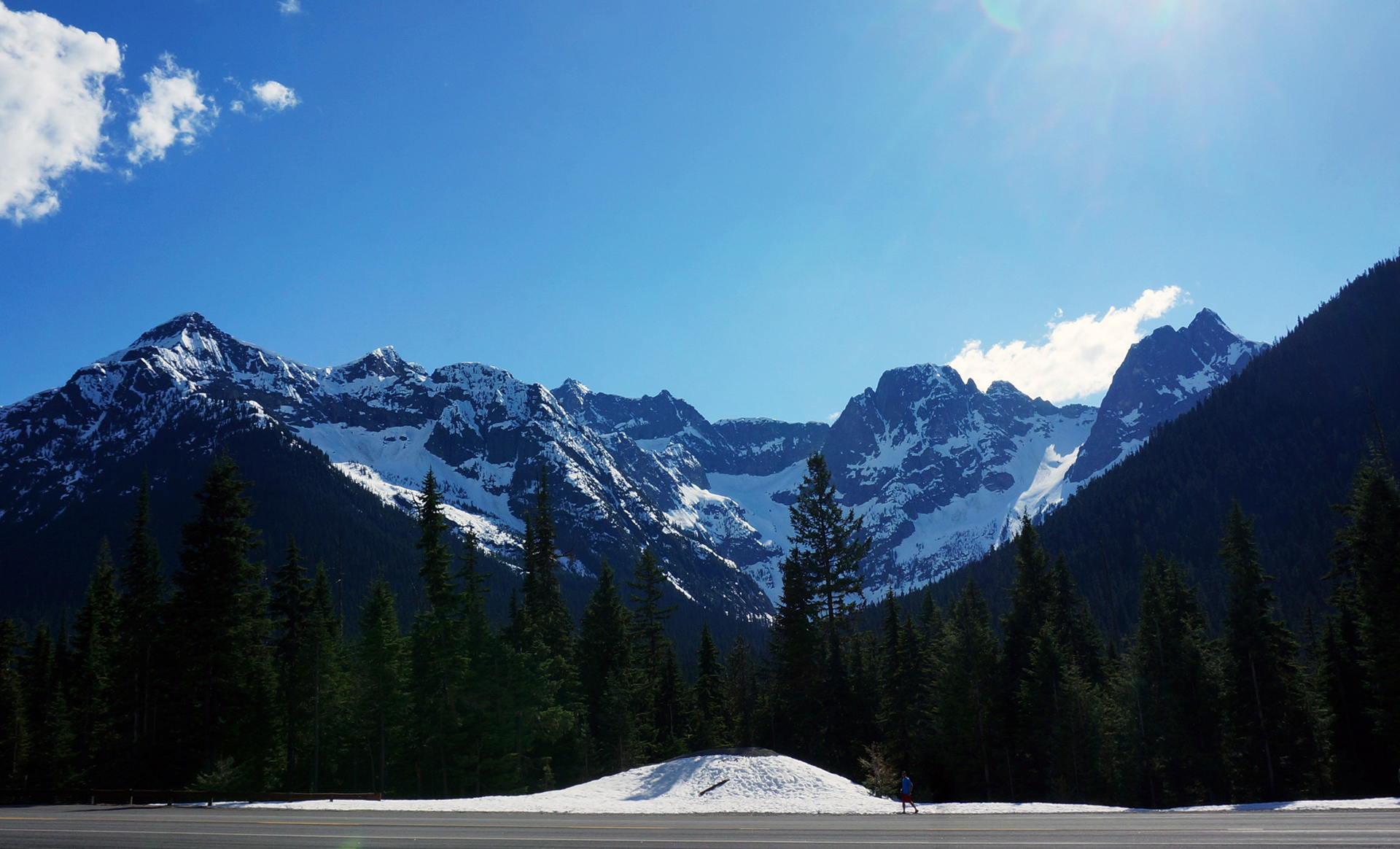
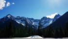
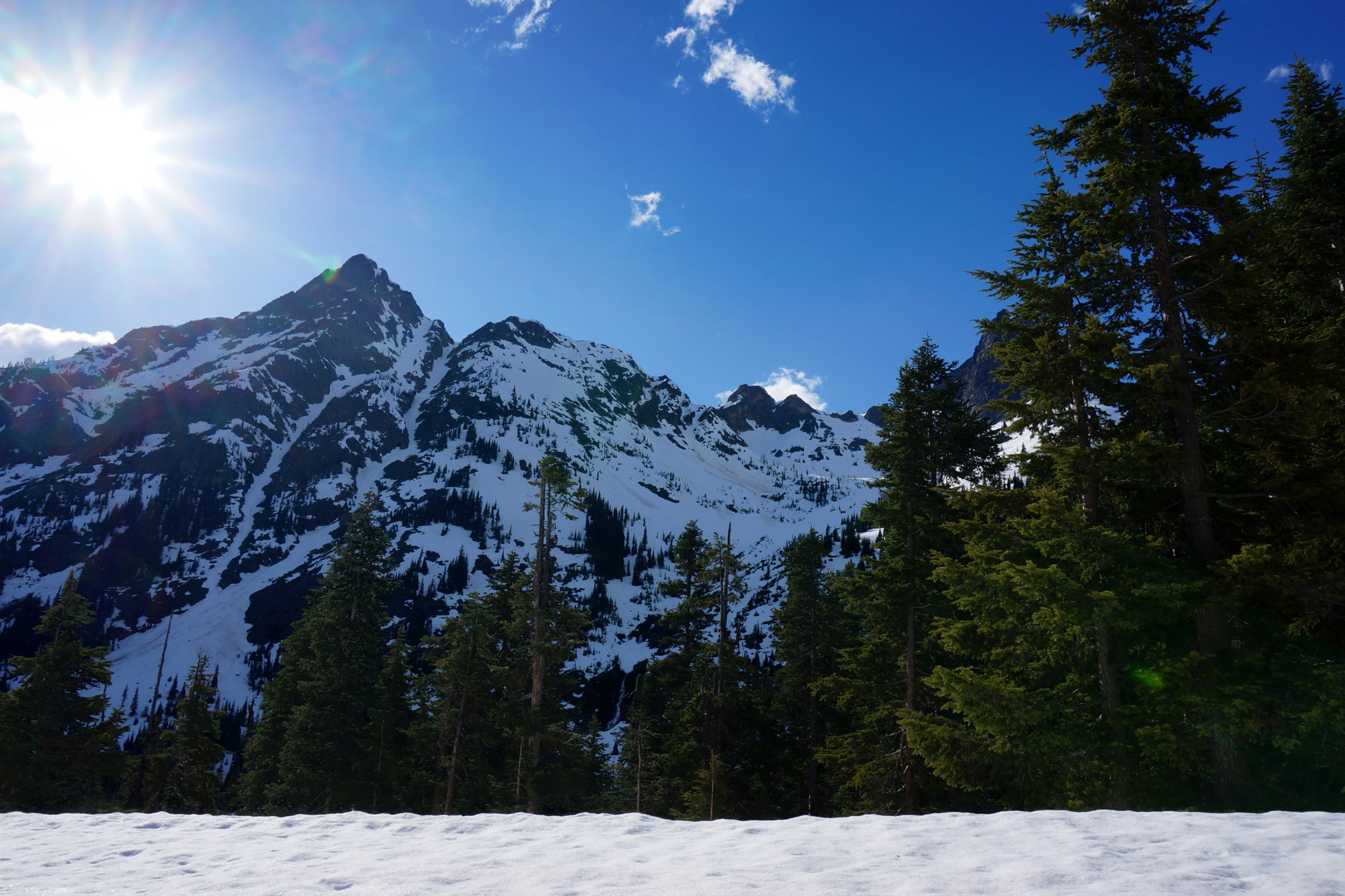
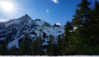
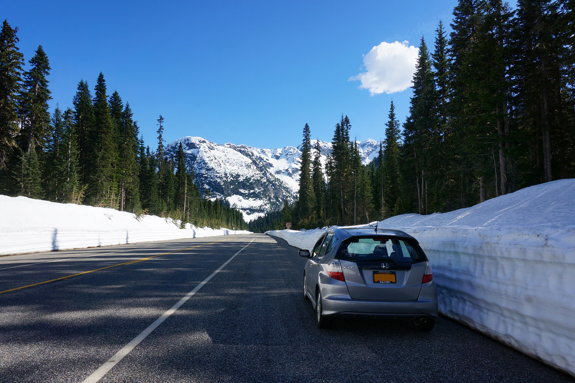
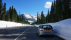
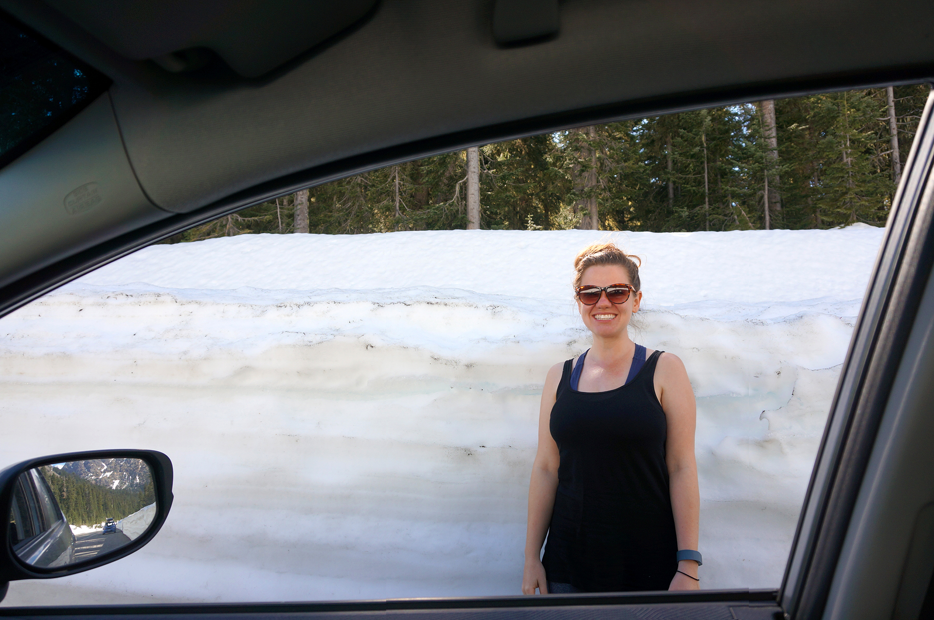
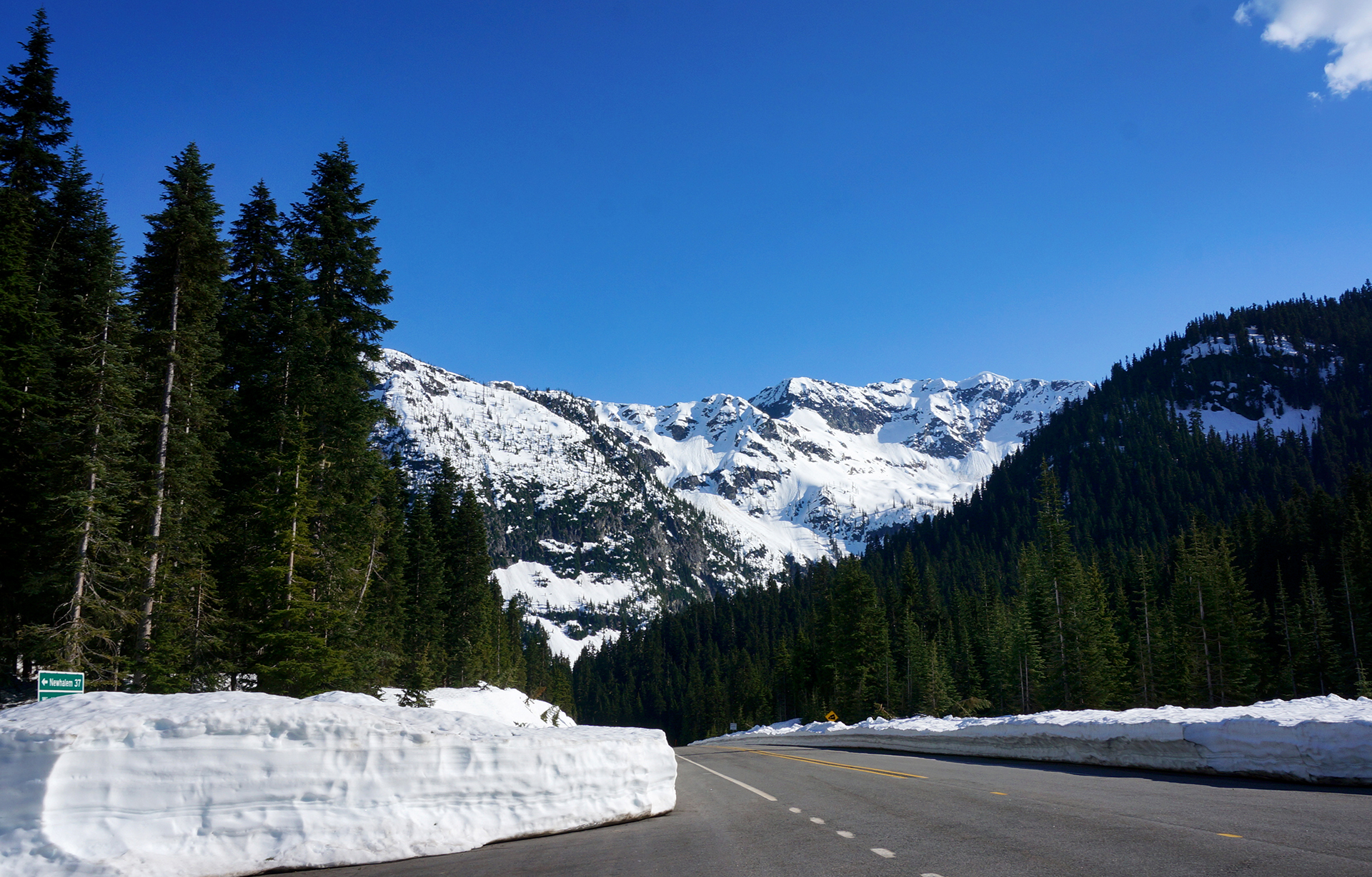
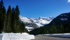
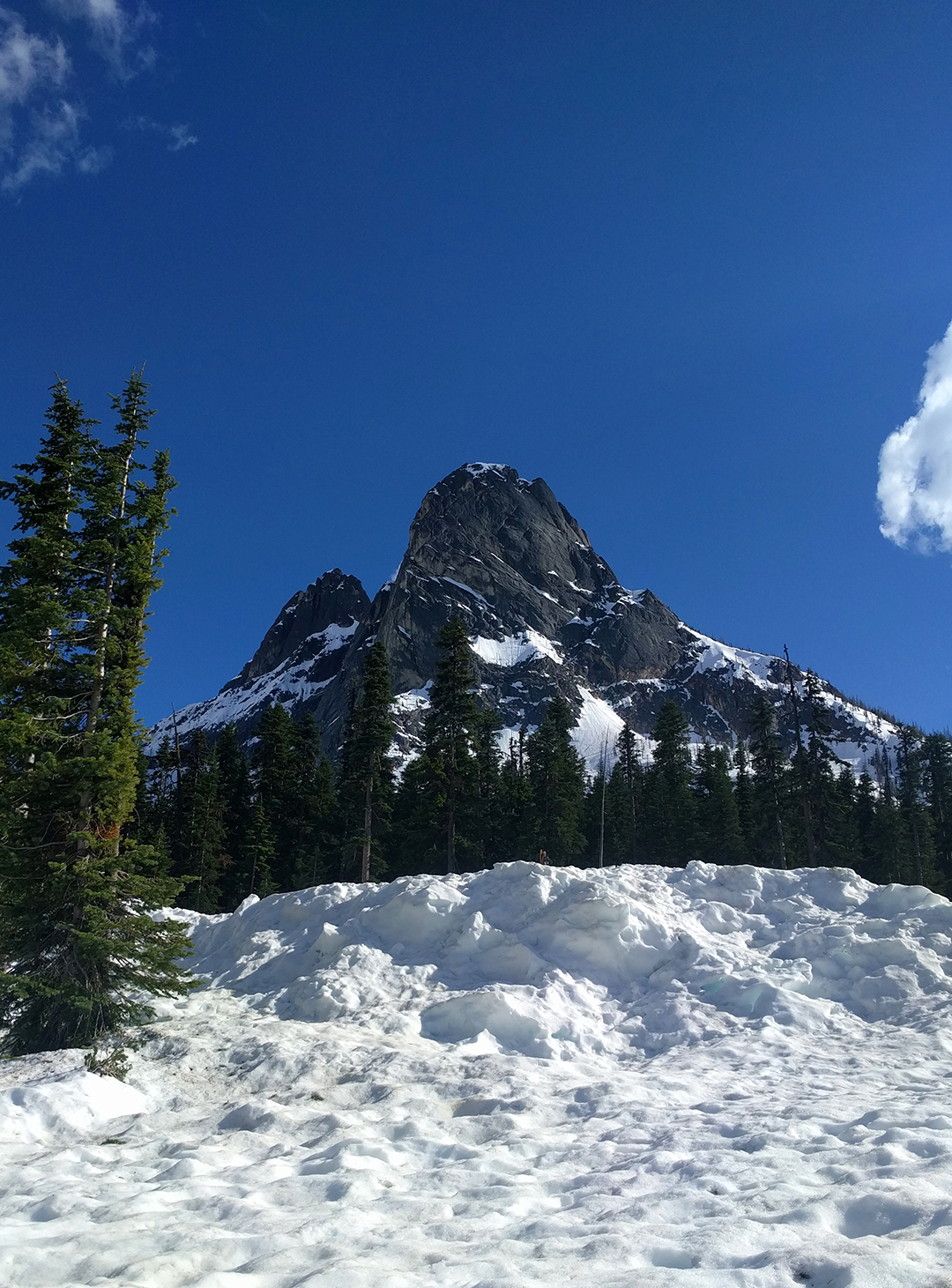
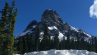
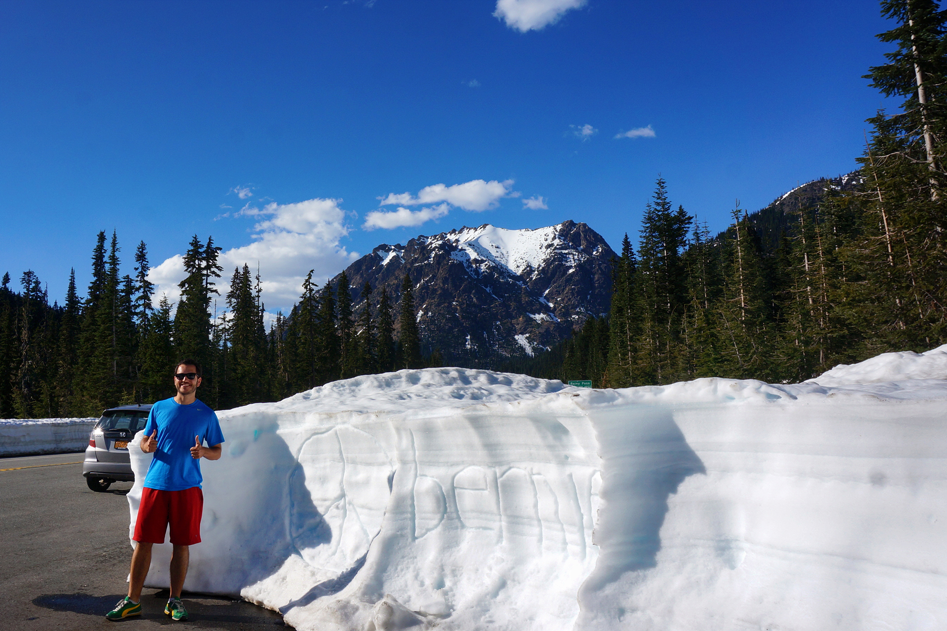
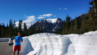
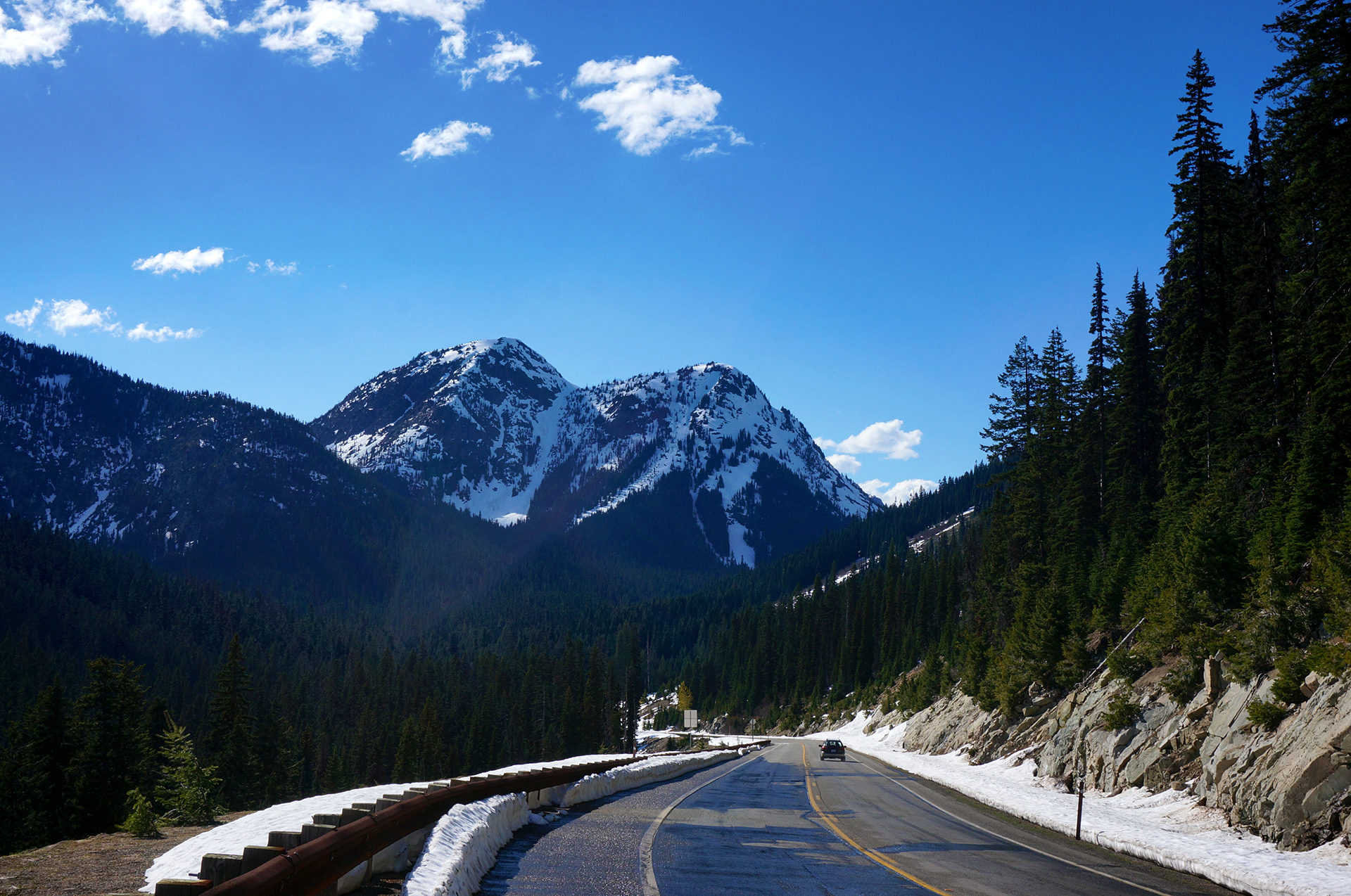
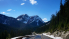
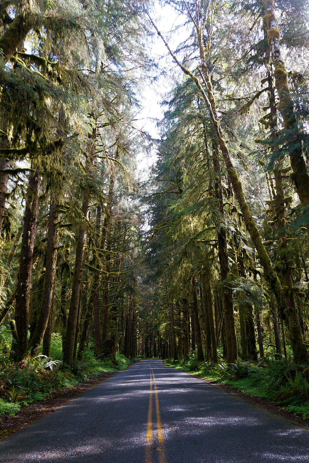
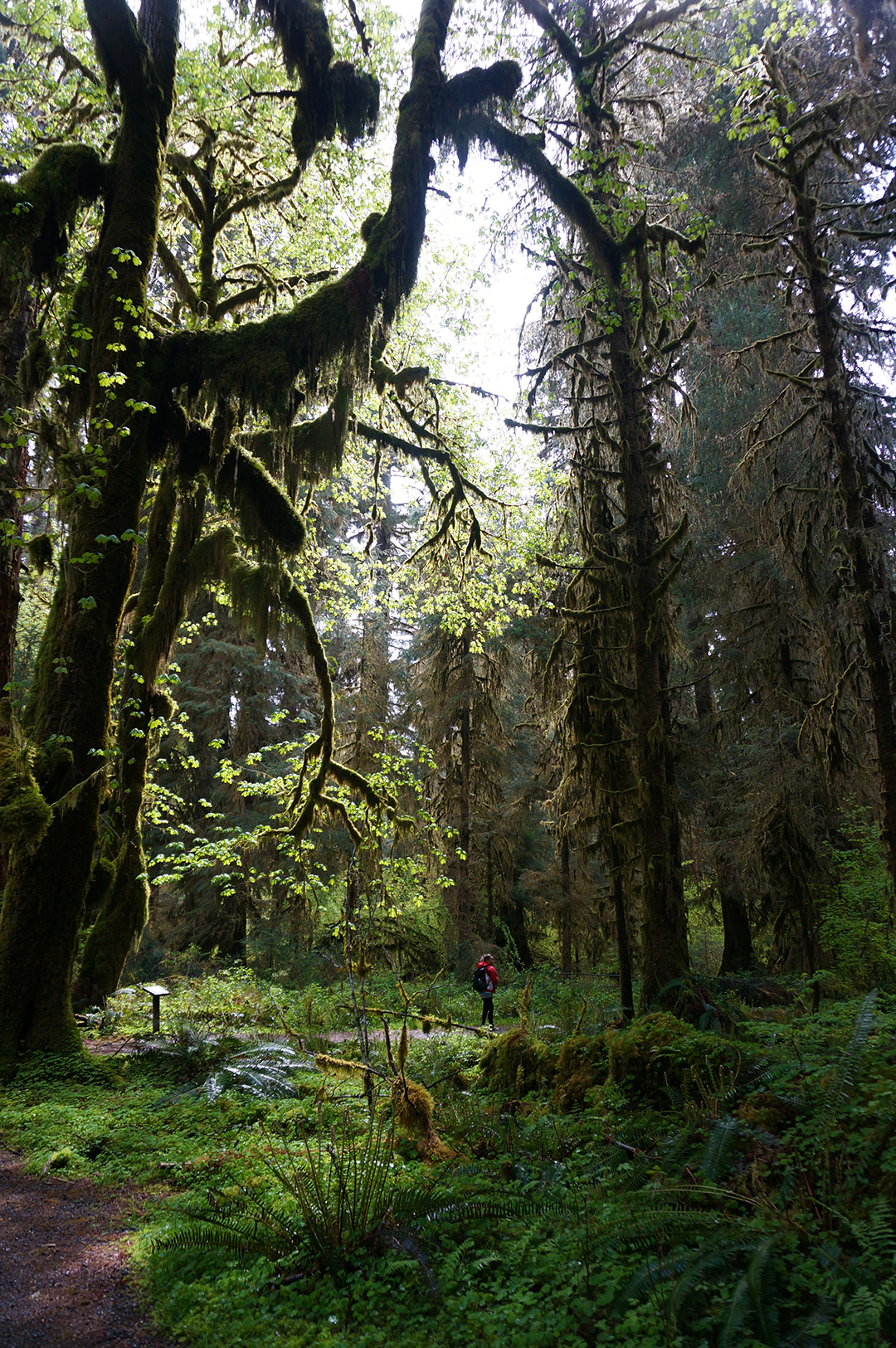
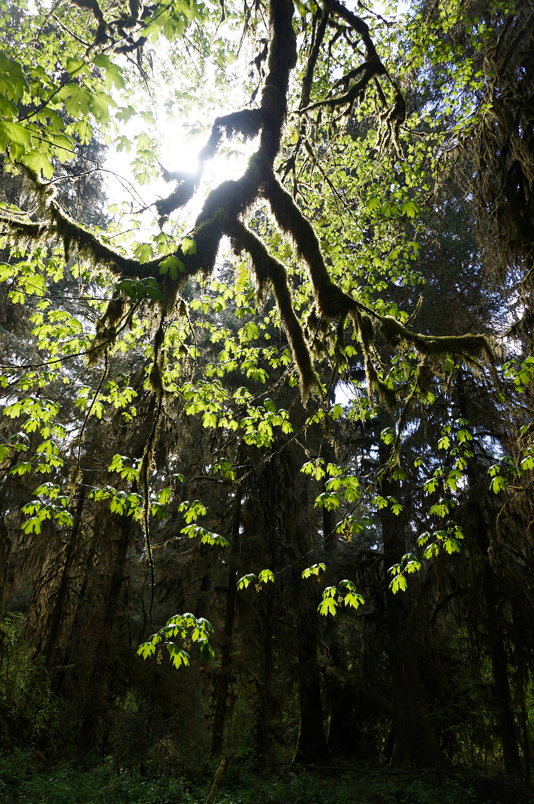
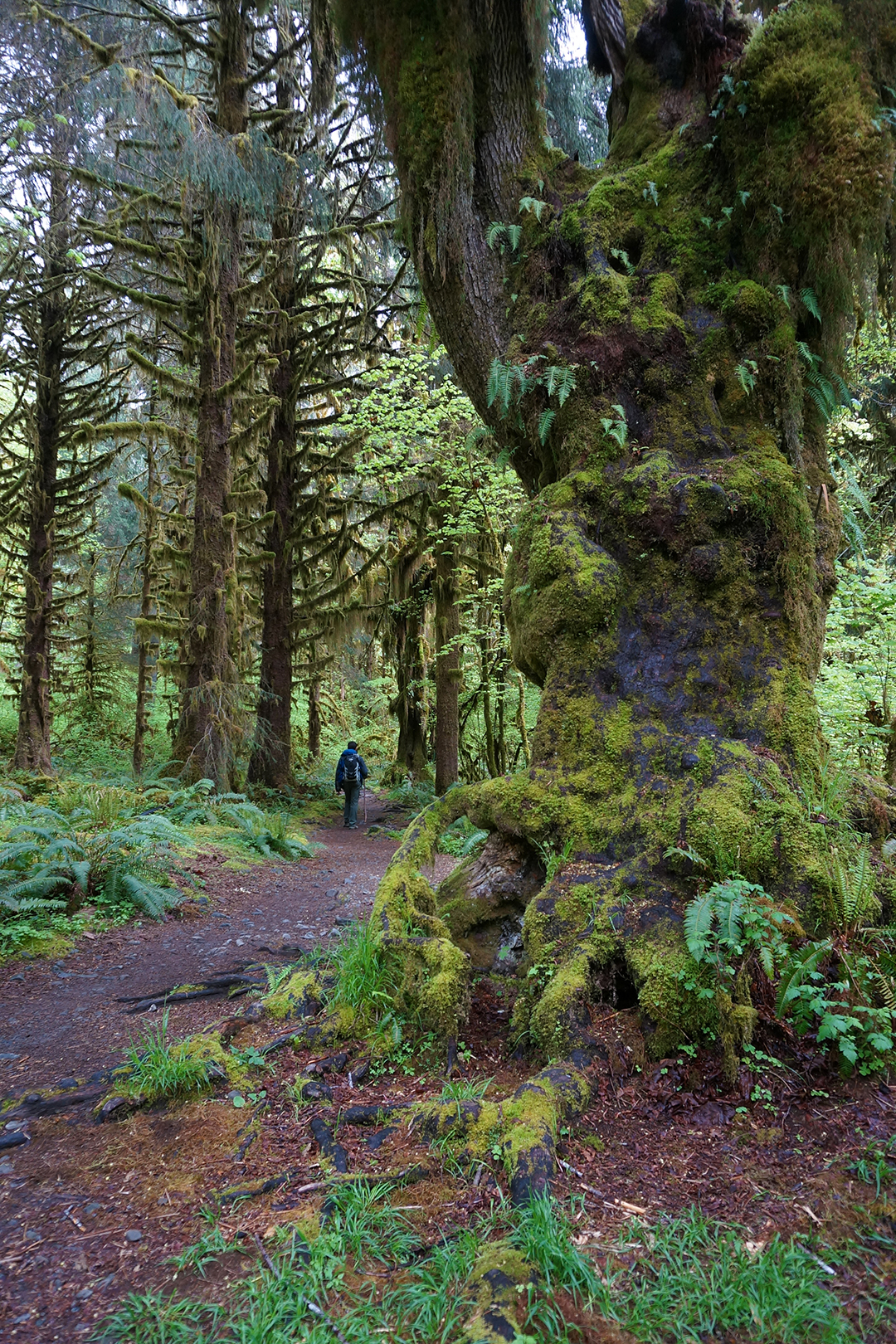
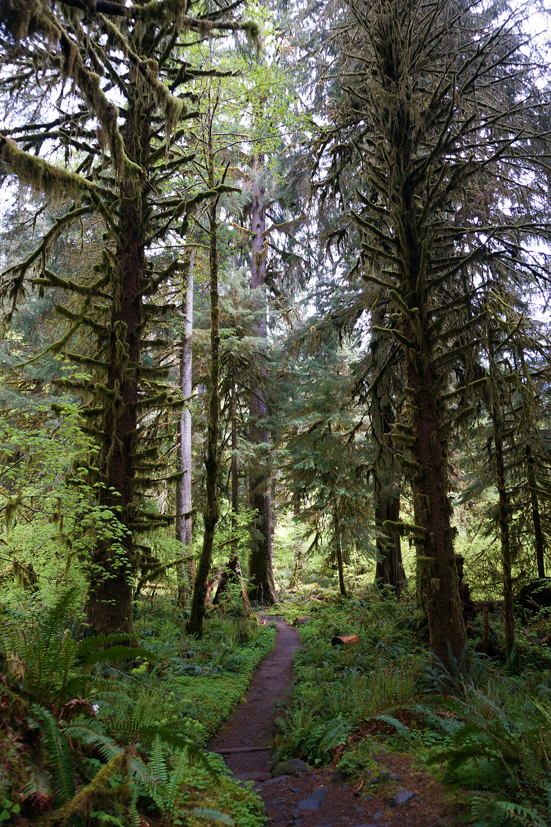
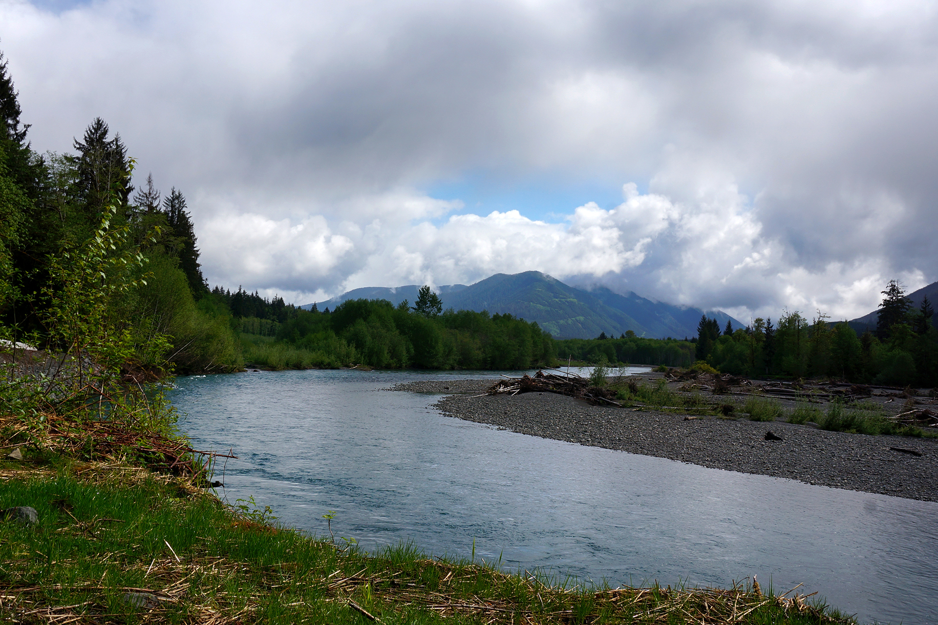
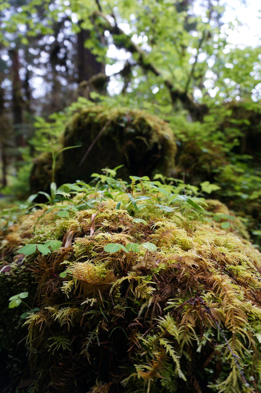
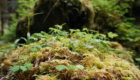
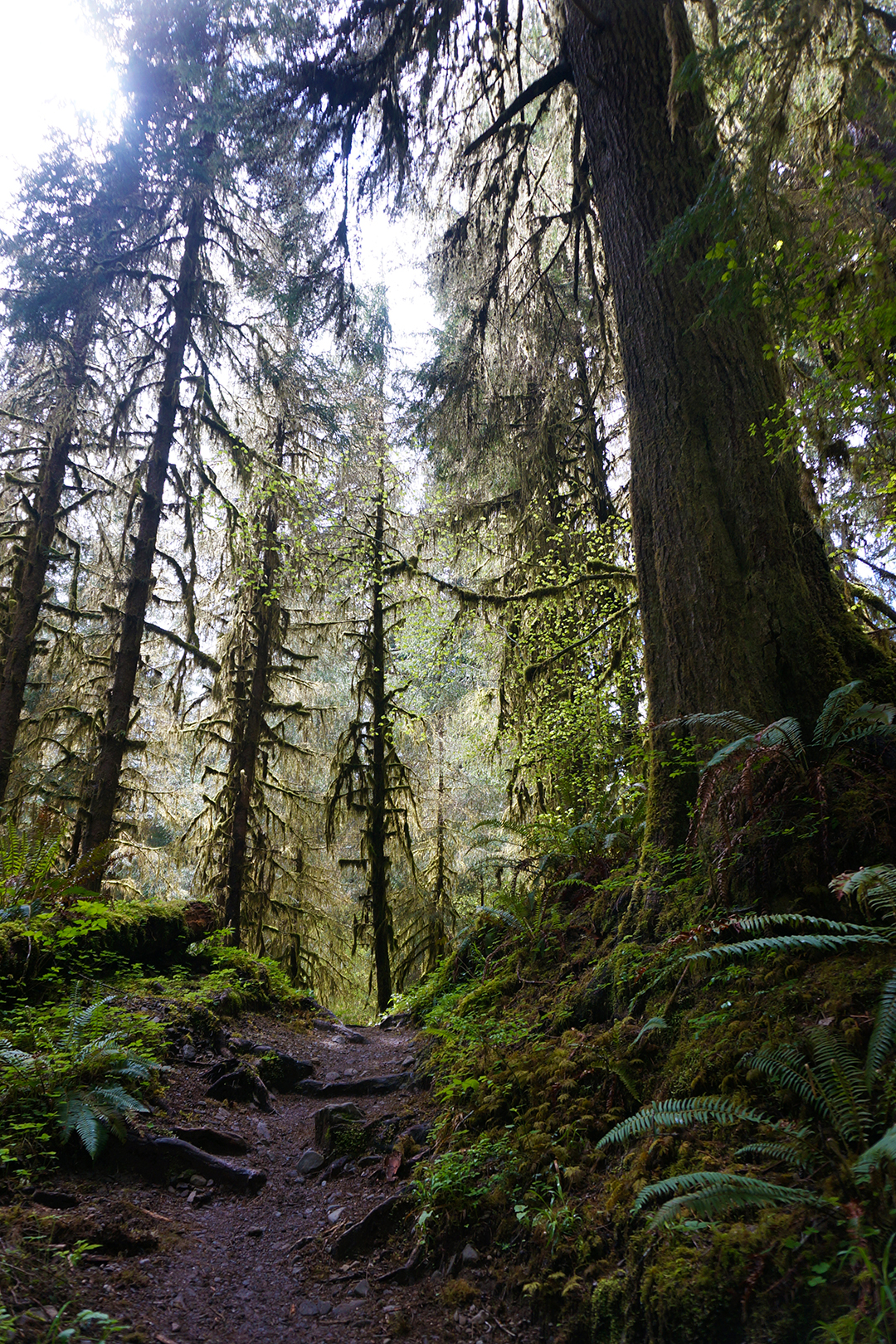
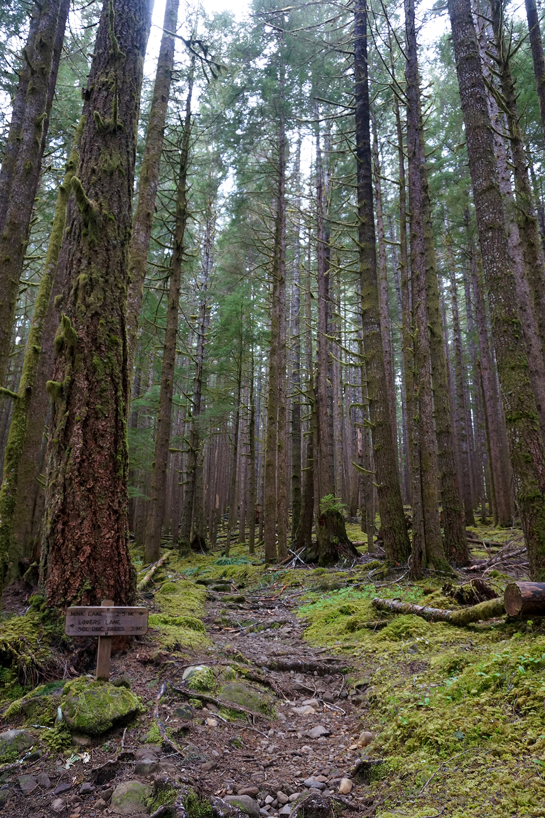
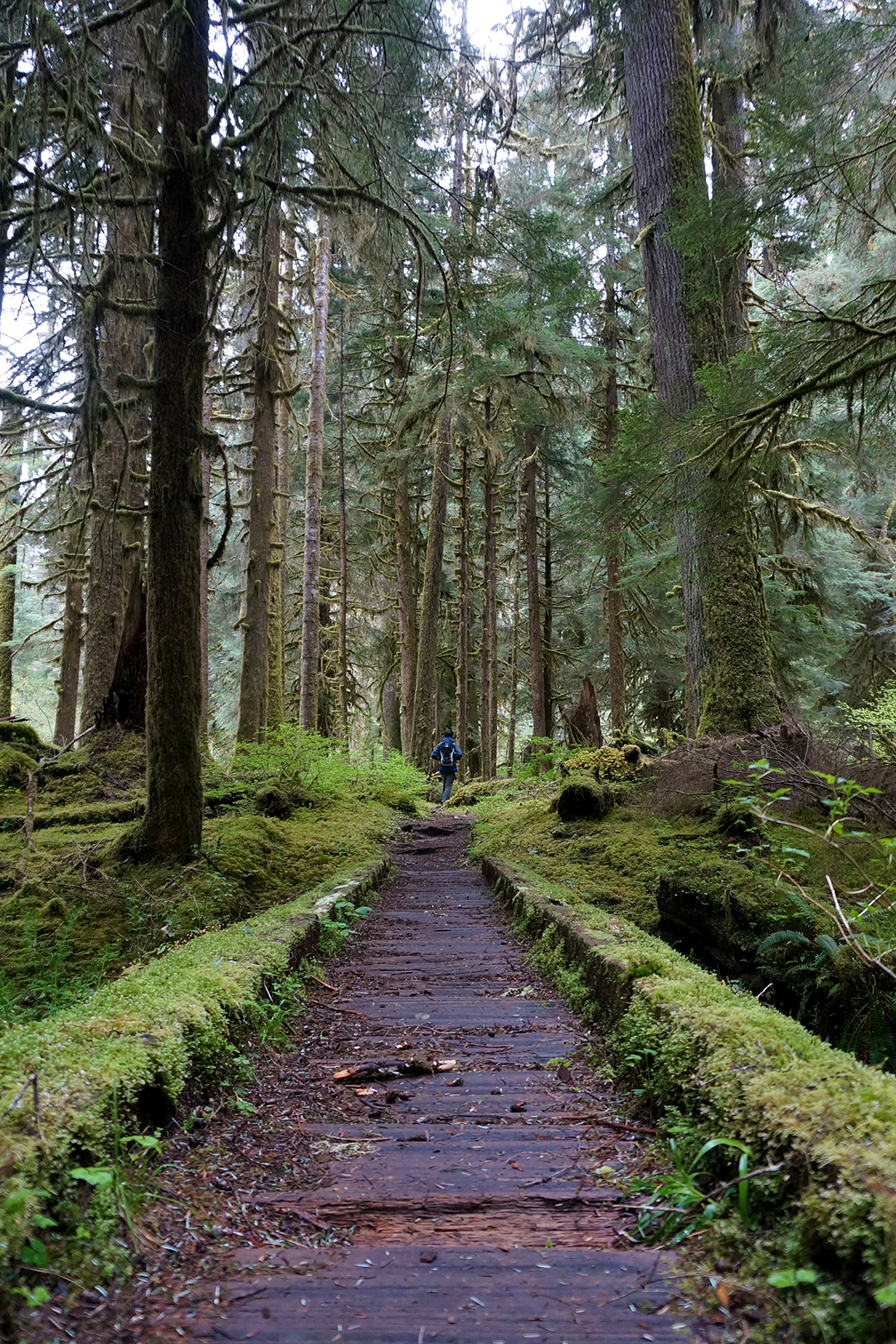
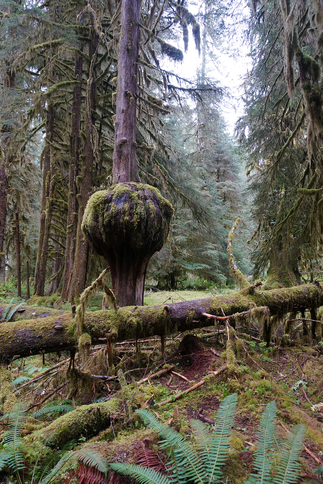
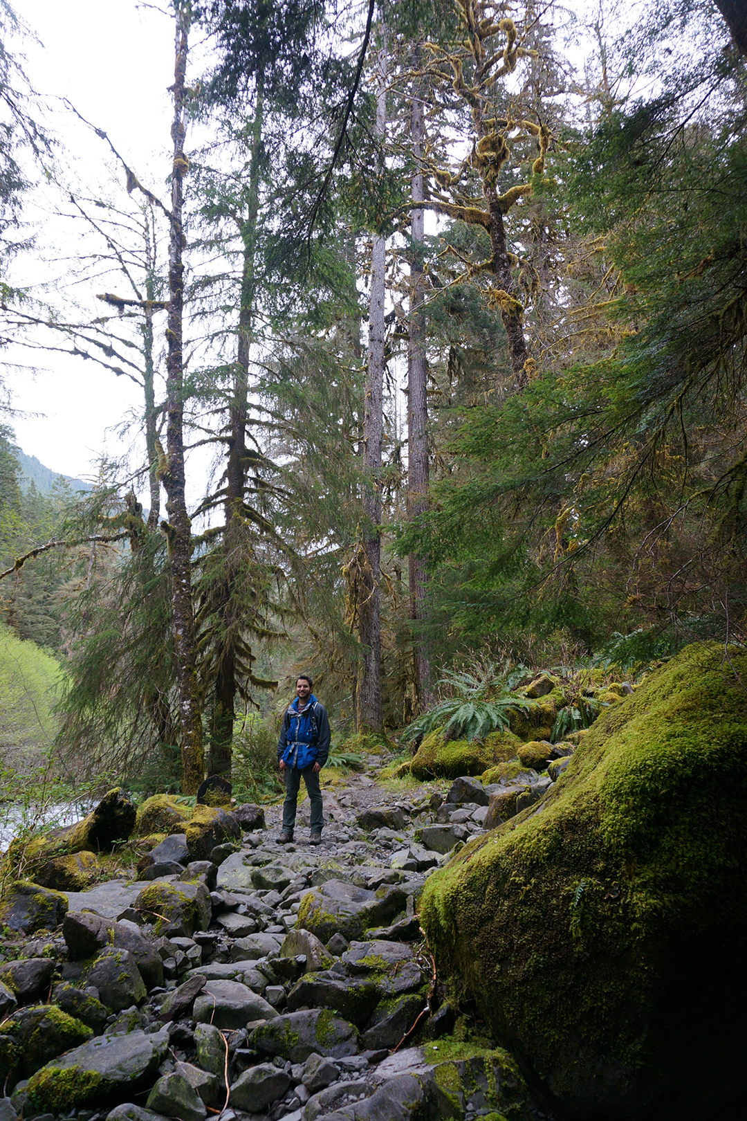
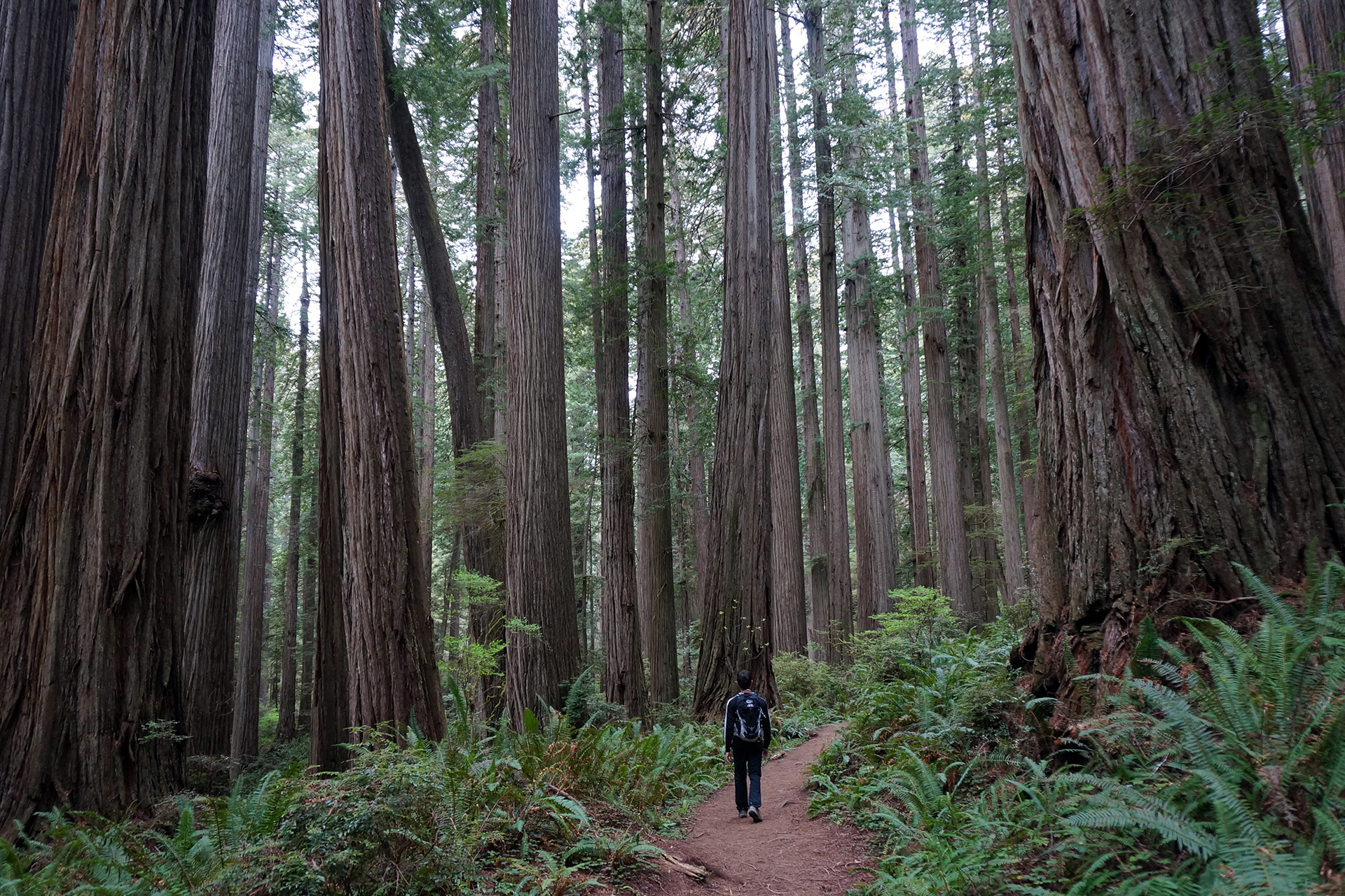
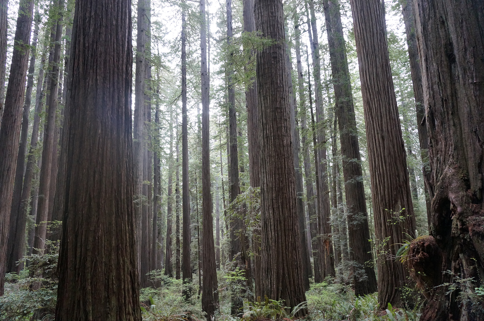
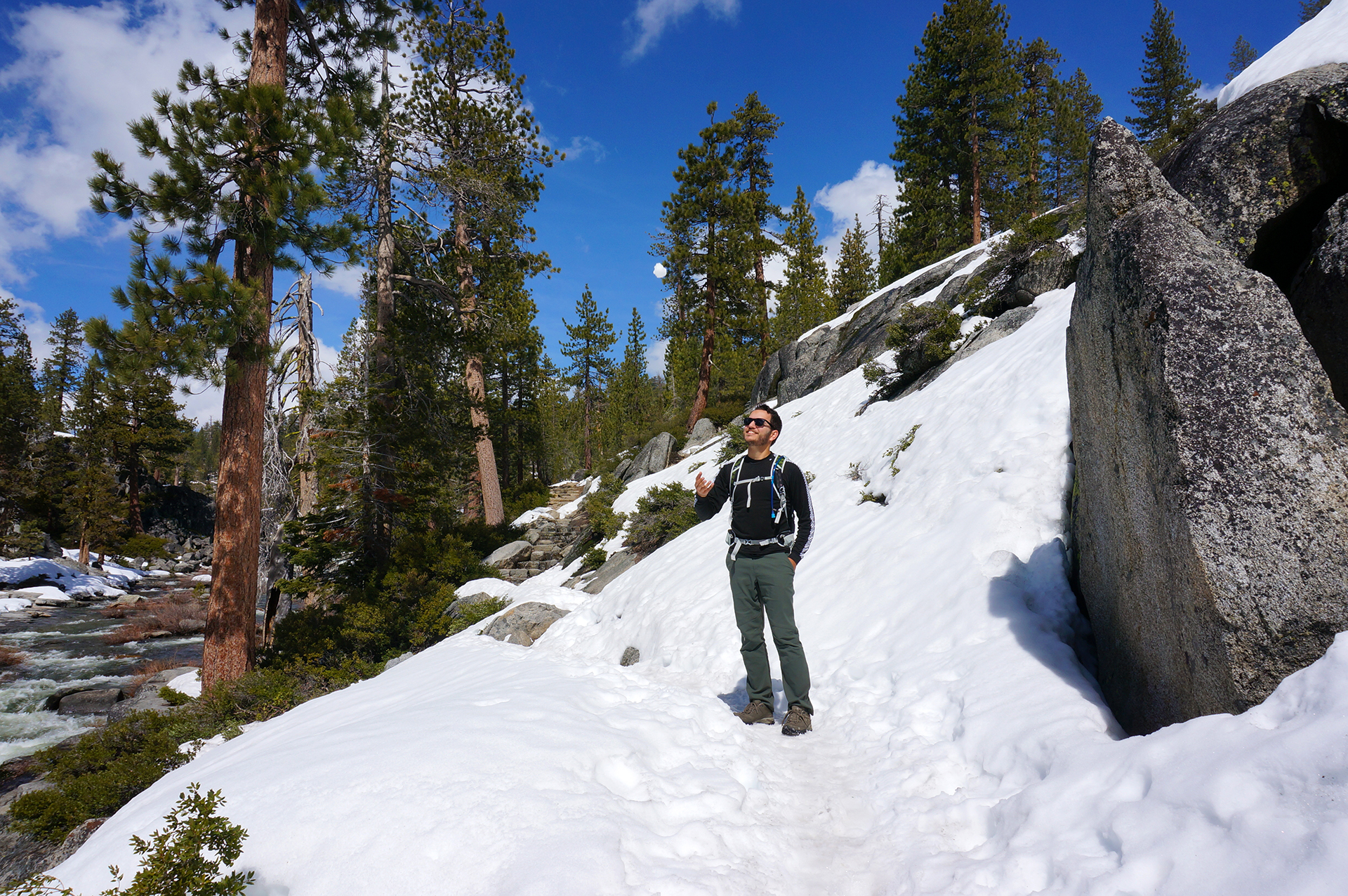
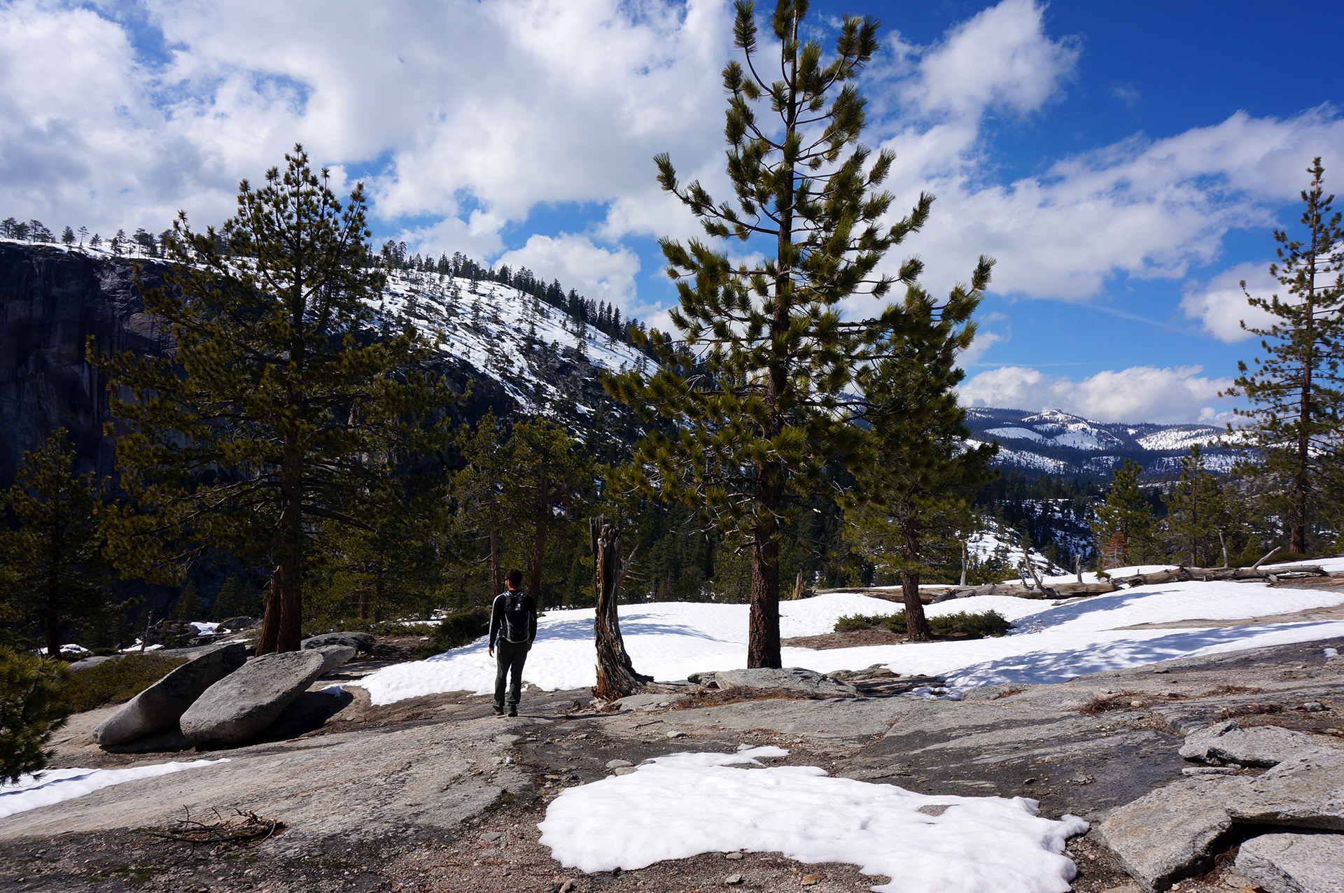
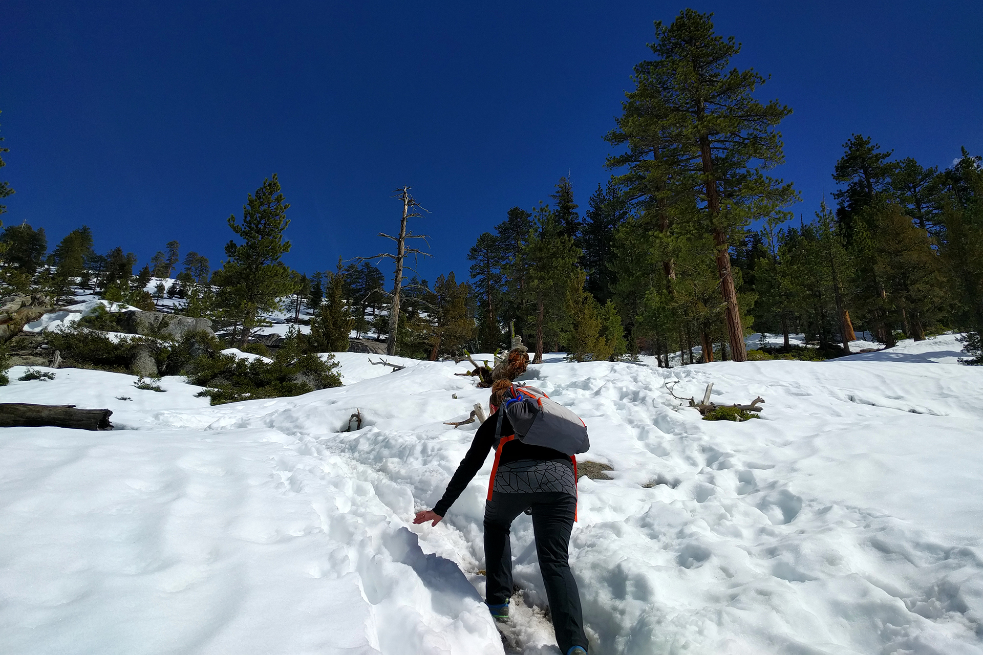
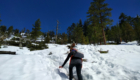
Our drive to the North Rim traveled through beautiful desert landscapes – there are a few national monuments here – and then up, up, up, past grassy meadows and through a pristine alpine forest.  It turns out the road closes because it gets covered with snow: the North Rim is really high.  Like, 8,000 feet in the air high (the better-known, 10x more visited South Rim is about 2,000 feet lower).  There were only two towns in the entire 70 miles, one of which was just some campgrounds and a gas station / general store.

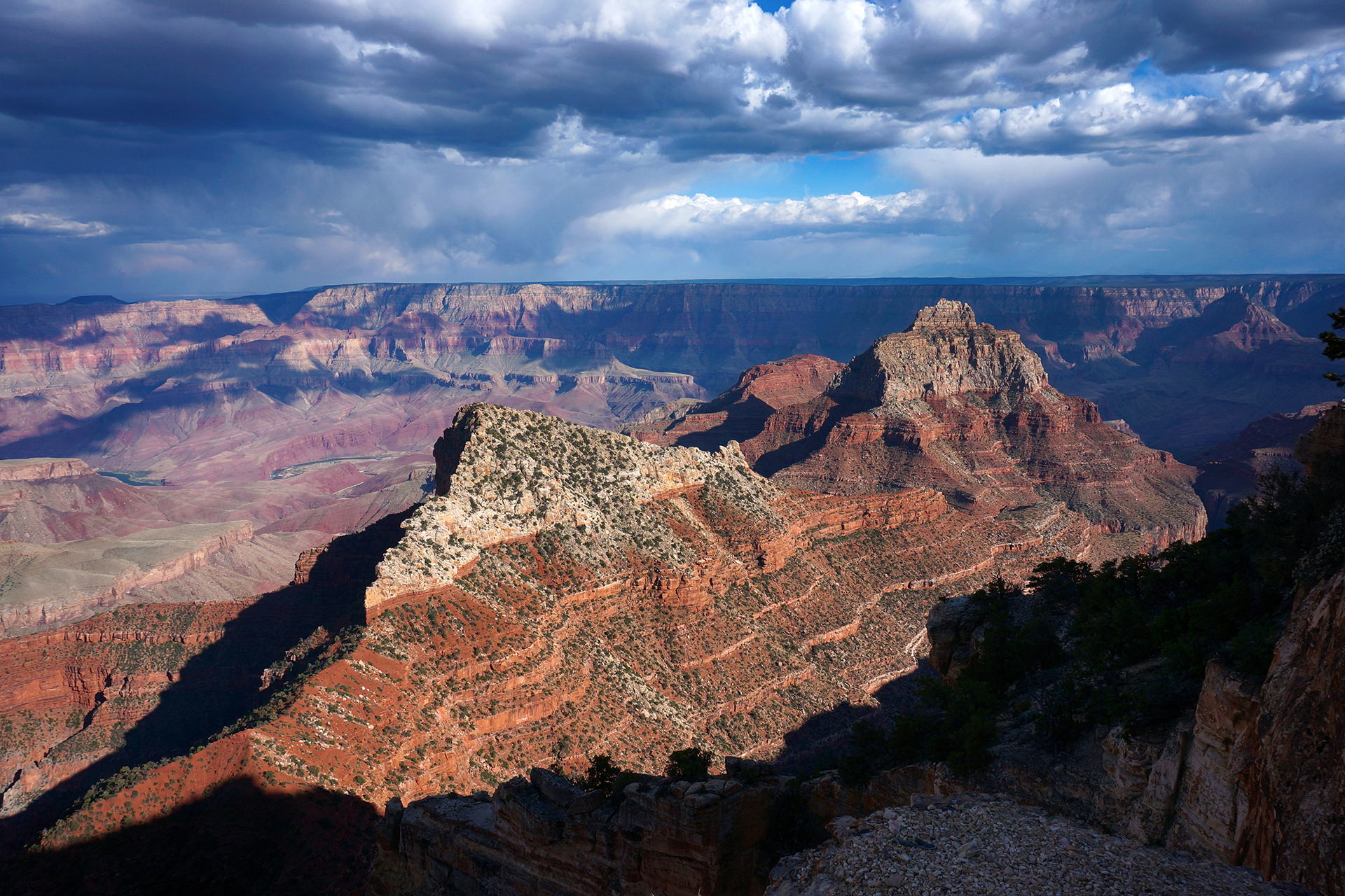
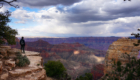
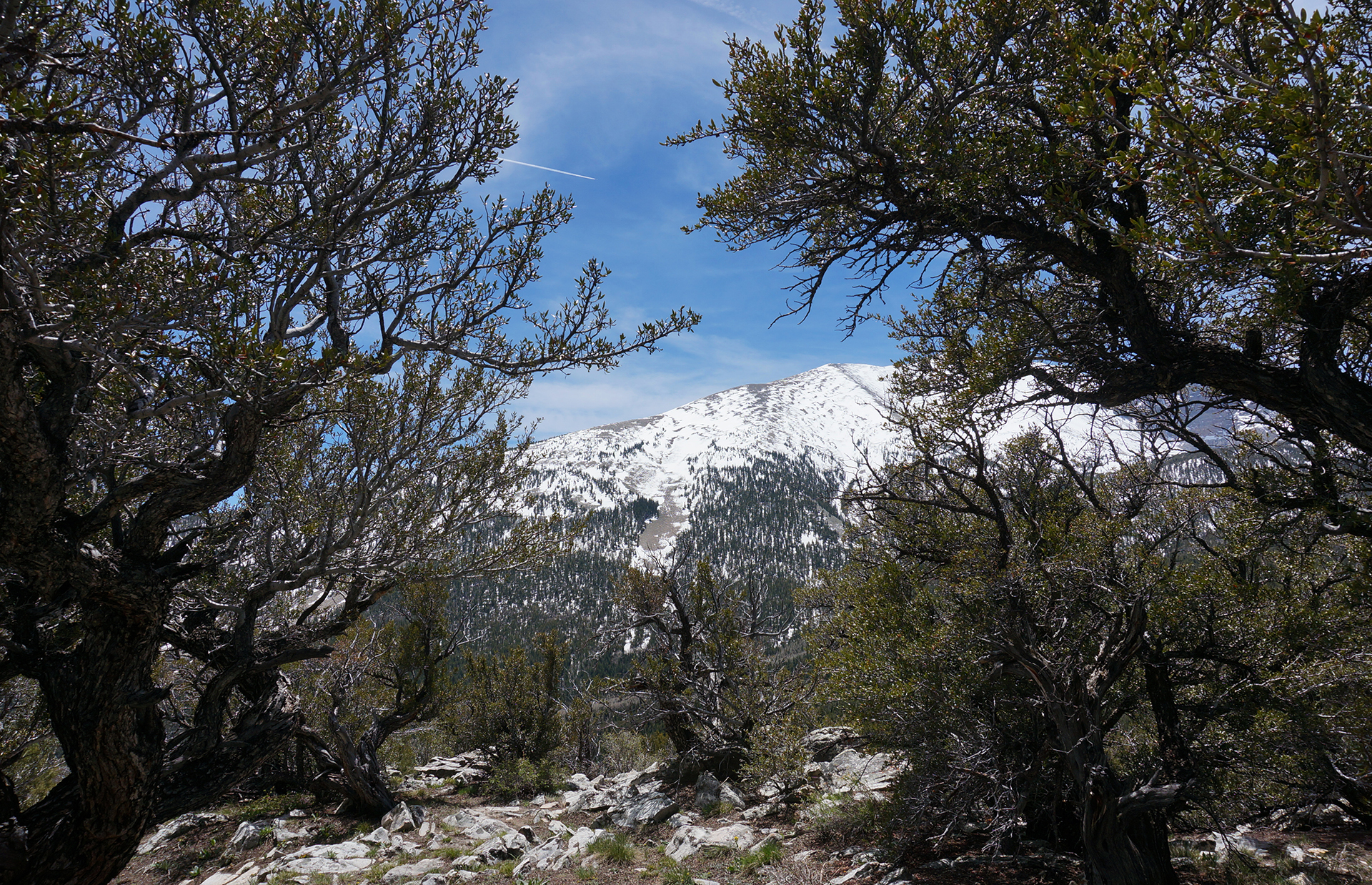
We finally made it to the Grand Canyon just before noon, straining to catch glimpses of the canyon through the trees as we drove.  We parked, walked down, and finally made it to the rim, and…

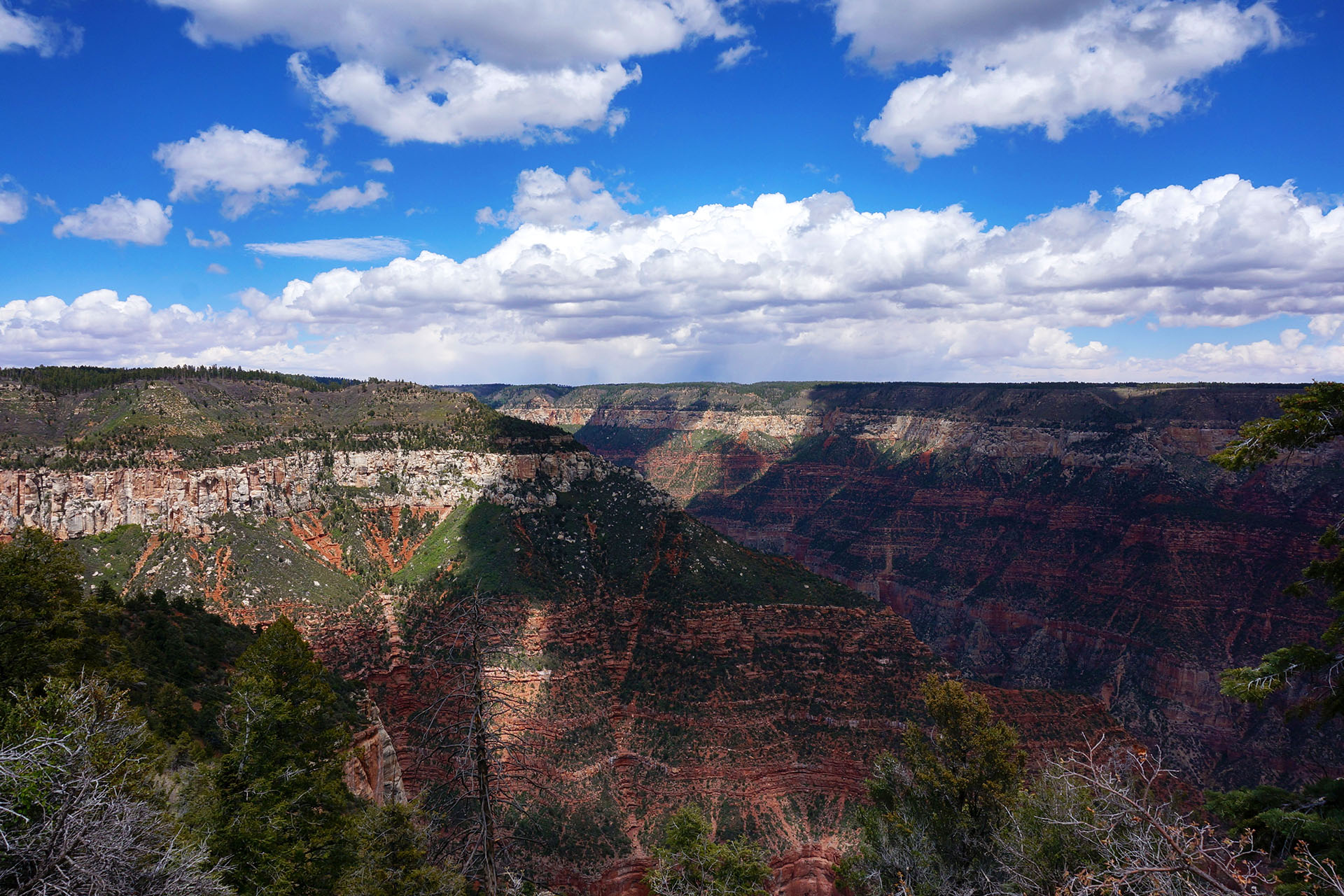
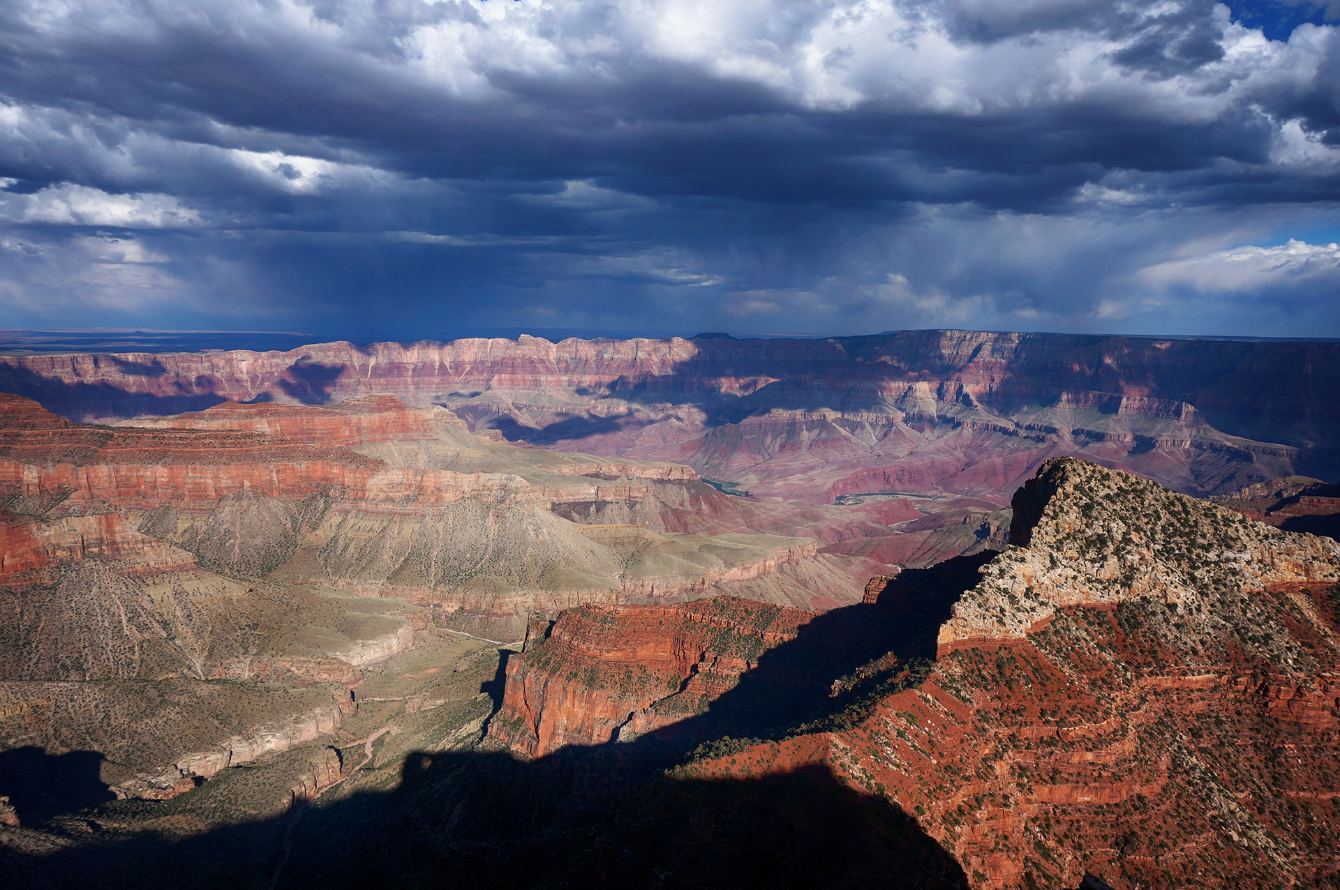
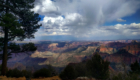
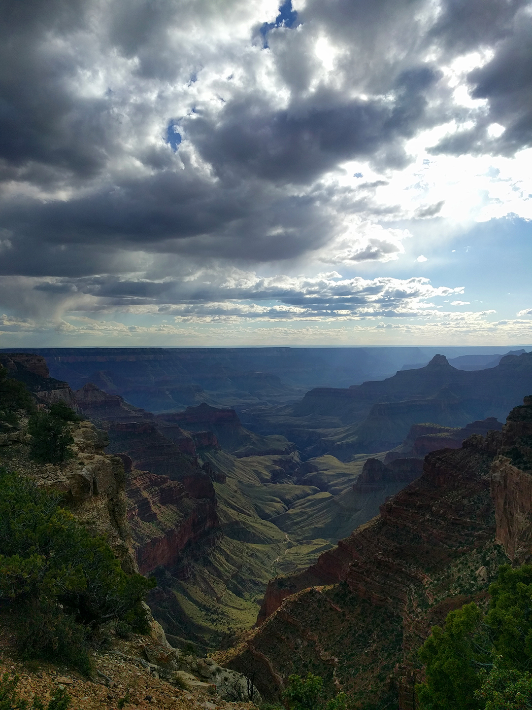
Holy crap.  It’s incredible.

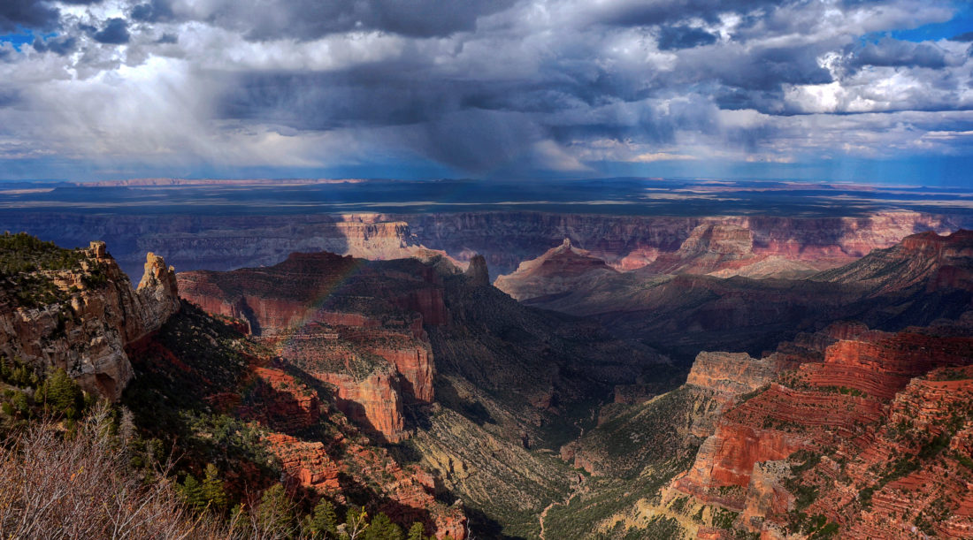
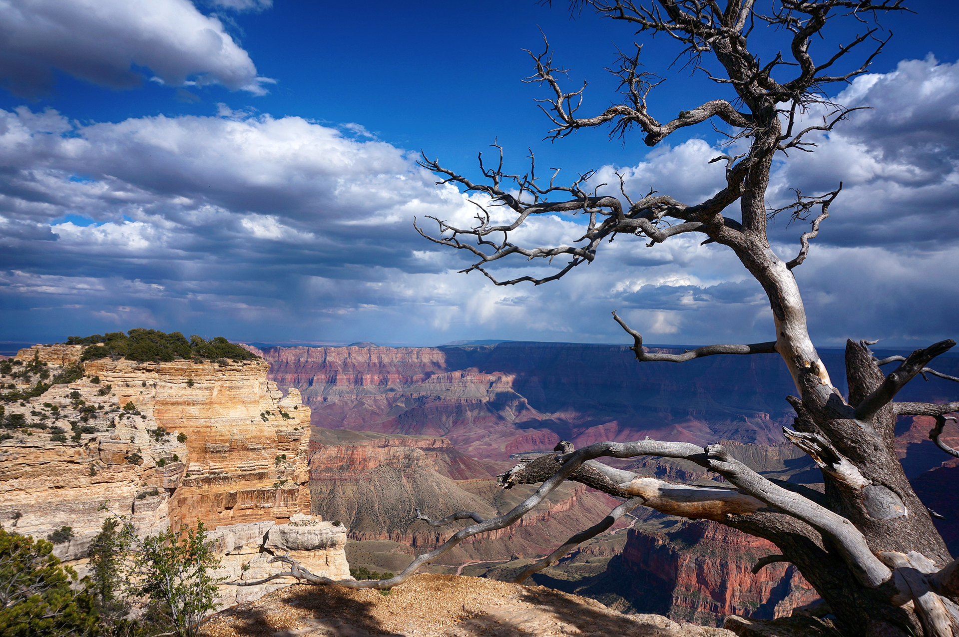
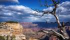
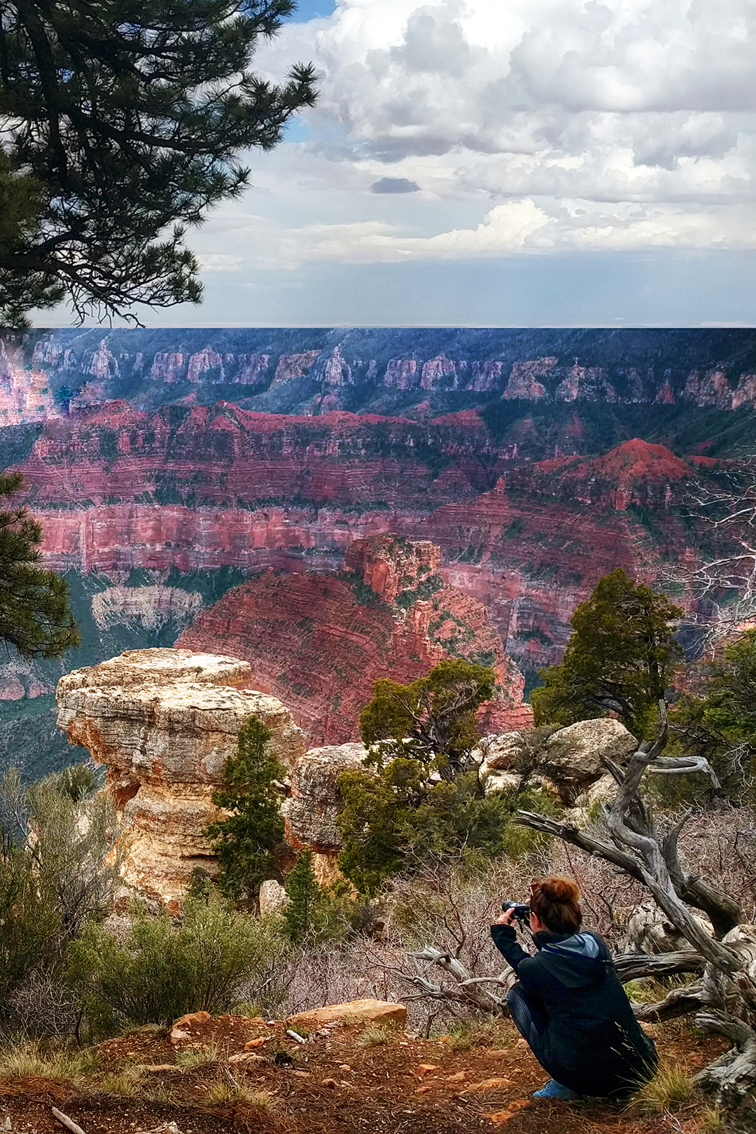
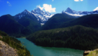
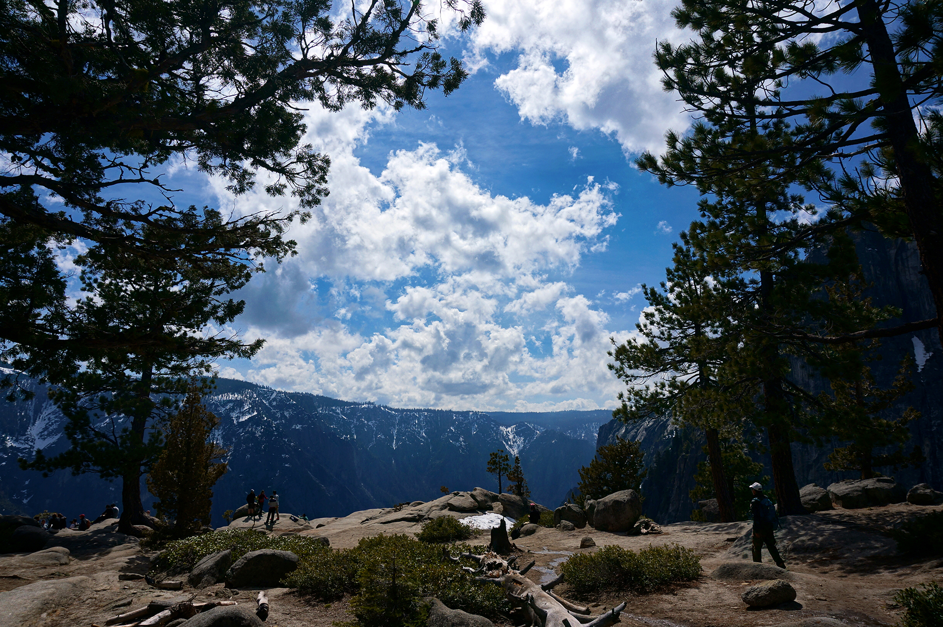
The canyon is so wide, and it’s so shockingly… colorful.  We’ve seen a lot of amazing sights on our road trip, but the view left us in awe.

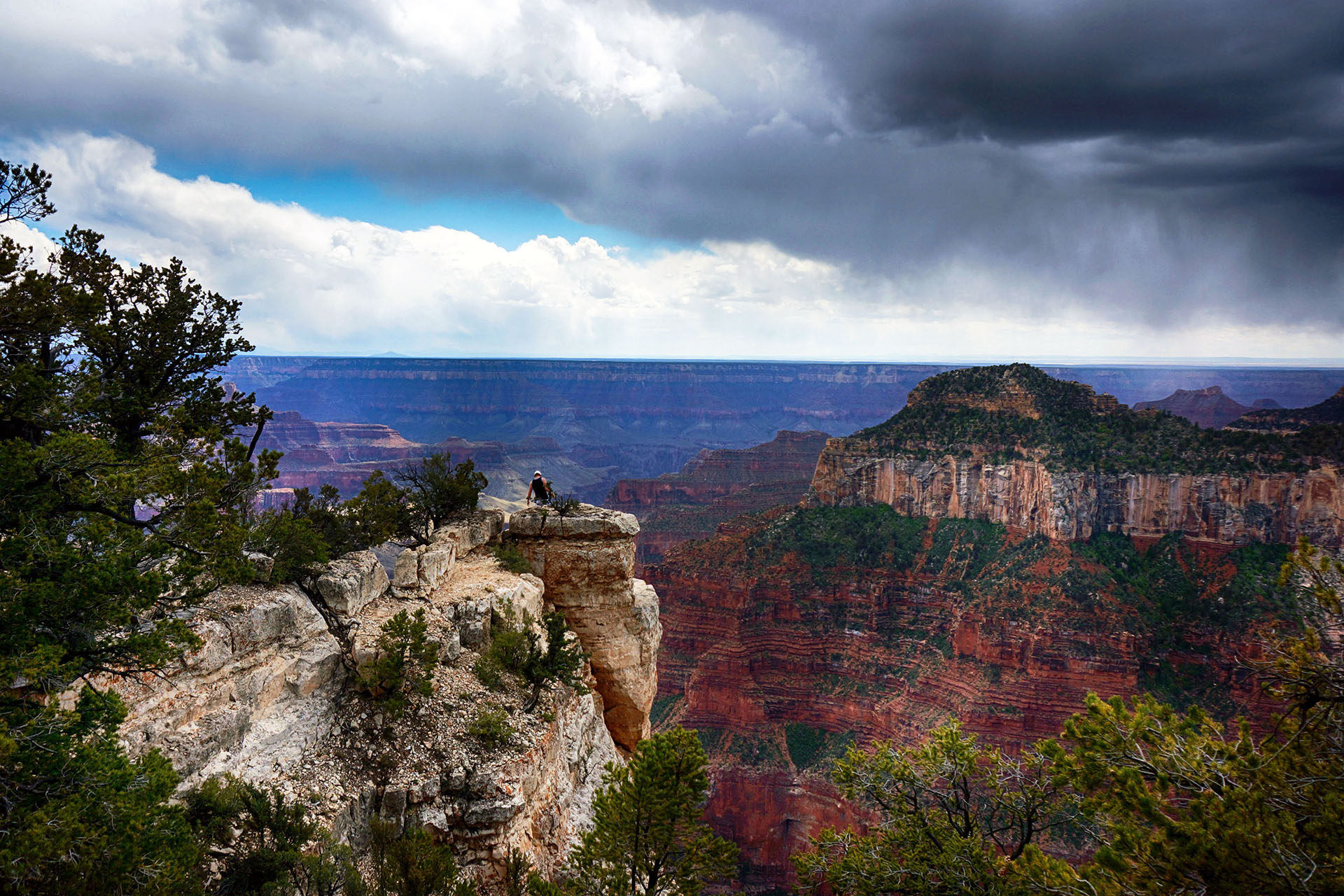
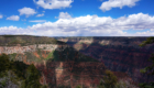
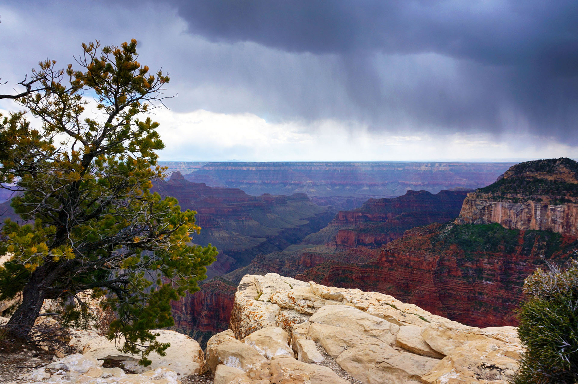
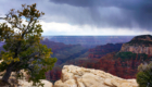
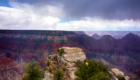
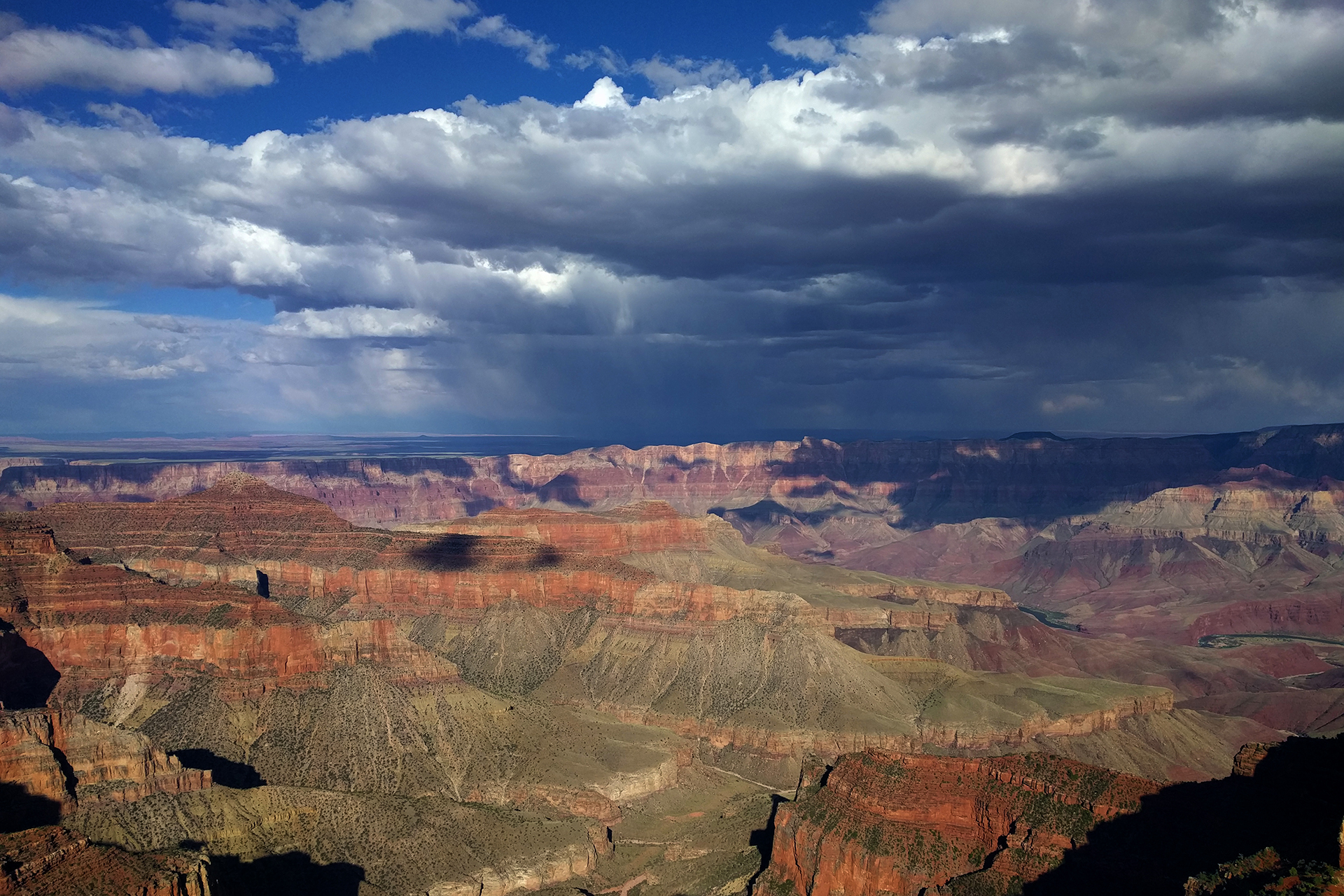
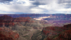
We took pictures along the canyon rim for a few minutes, ignoring the light drizzle.  Then, suddenly, black clouds began rolling in.  We were at 8,000 feet, on an exposed, rocky outcropping with sheer cliffs in multiple directions.

“Time to go,” Jake said.

“Just a few more pictures!”  Heather said.

“No,” Jake said again, as the menacing cloud rapidly moved towards us, lightning bolts crashing, “it’s really, really time to go.”  We managed to get back into our car just seconds before a huge, spectacular lightning-hail storm ripped through the area.  It was so fast and furious, we actually got several inches of hail built up on our car like snow!

Now, we normally try to eat our lunch in scenic spots as opposed to, say, the parking lot of the visitor’s center, but something about not being pounded with lightning-hail made our Honda Fit feel like the best place in the world.  As a sweet, cynical bonus, we got to watch a worker across the street spend several minutes trying in vain to cover up a catering cart full of food he was delivering, until he finally gave up, hid under a doorway, and reconsidered his life choices.

Rim Shot

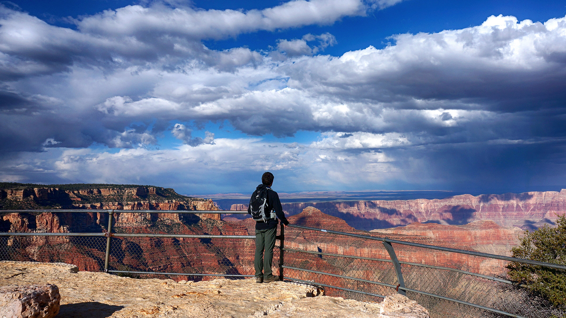
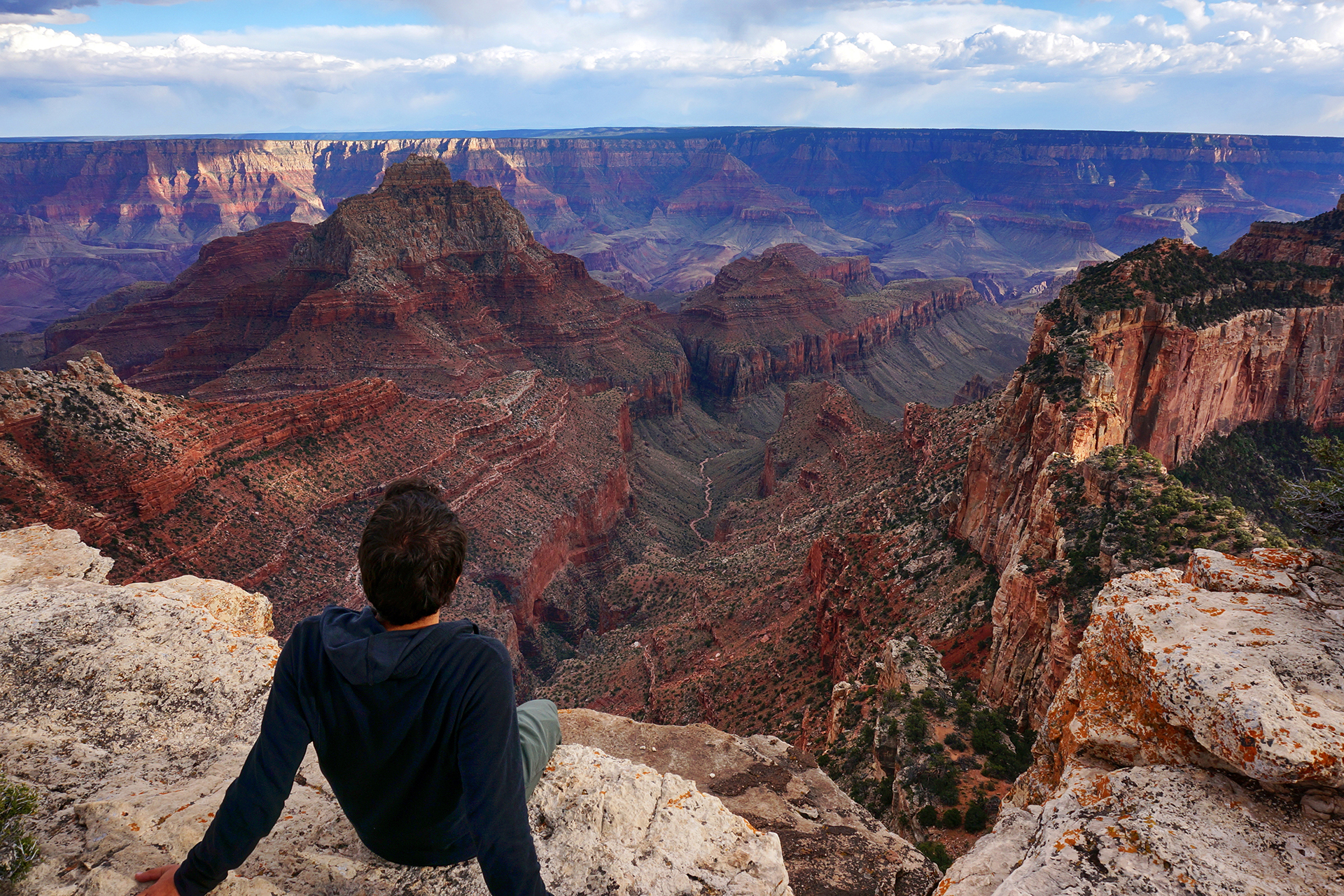
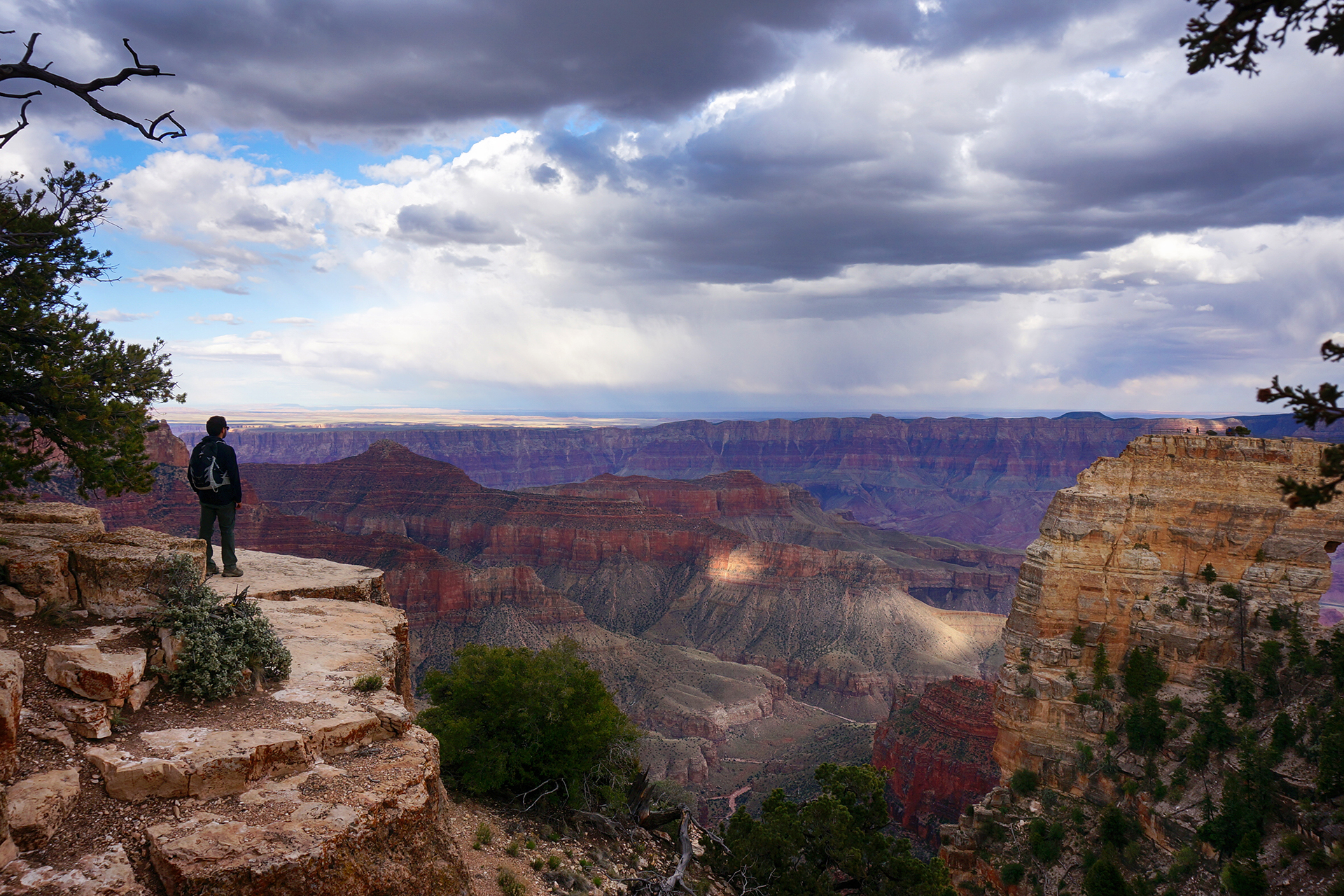
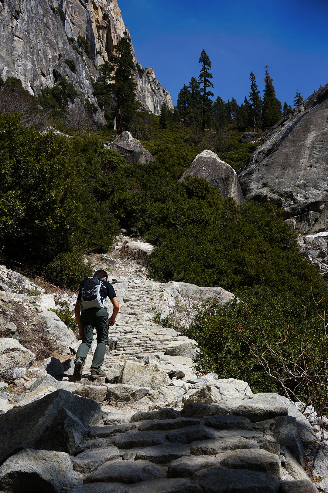
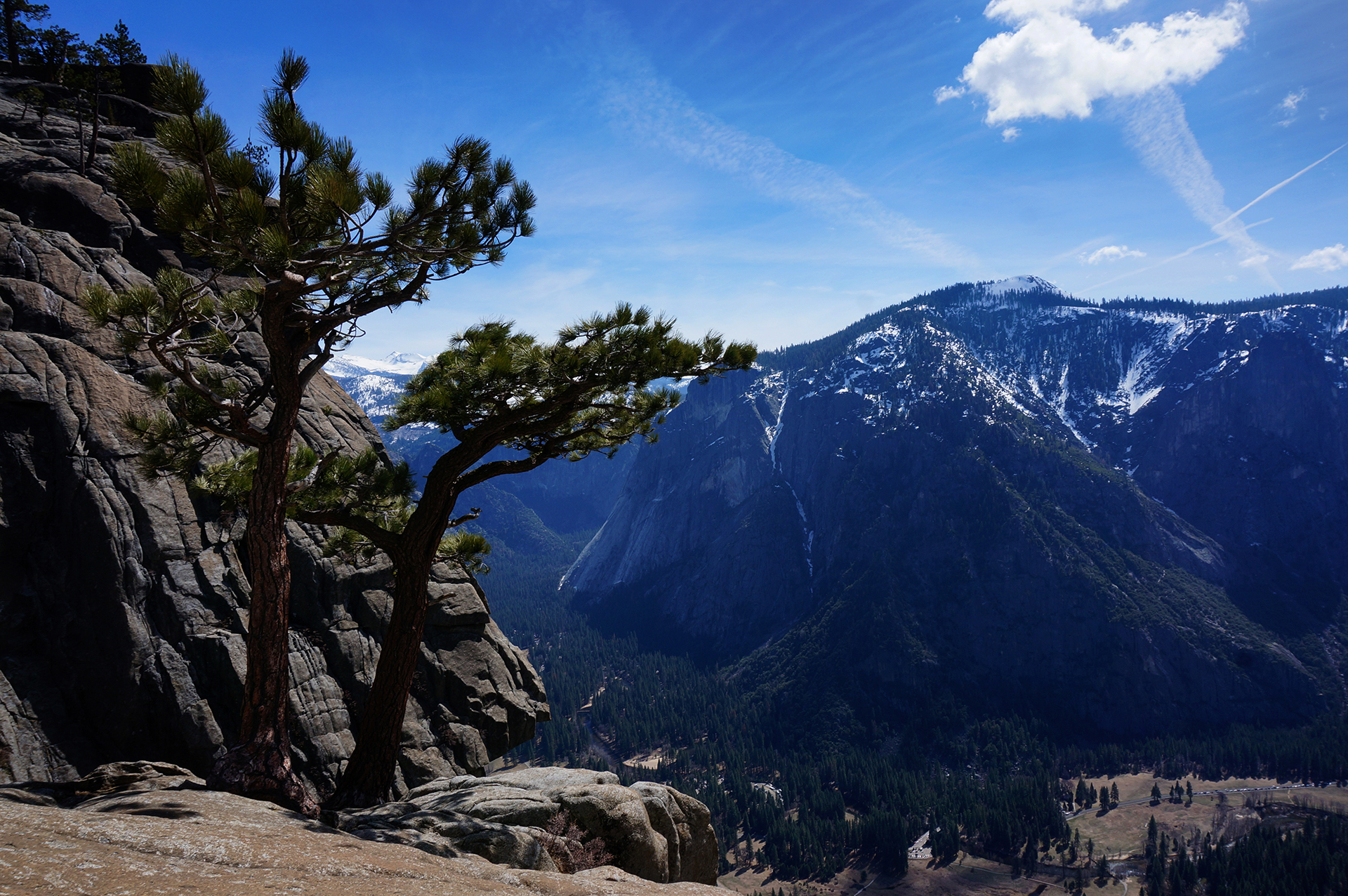
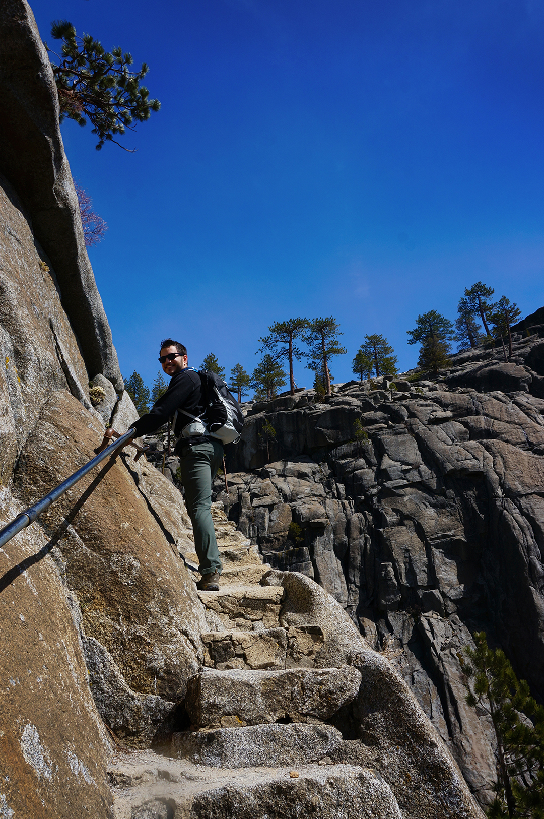
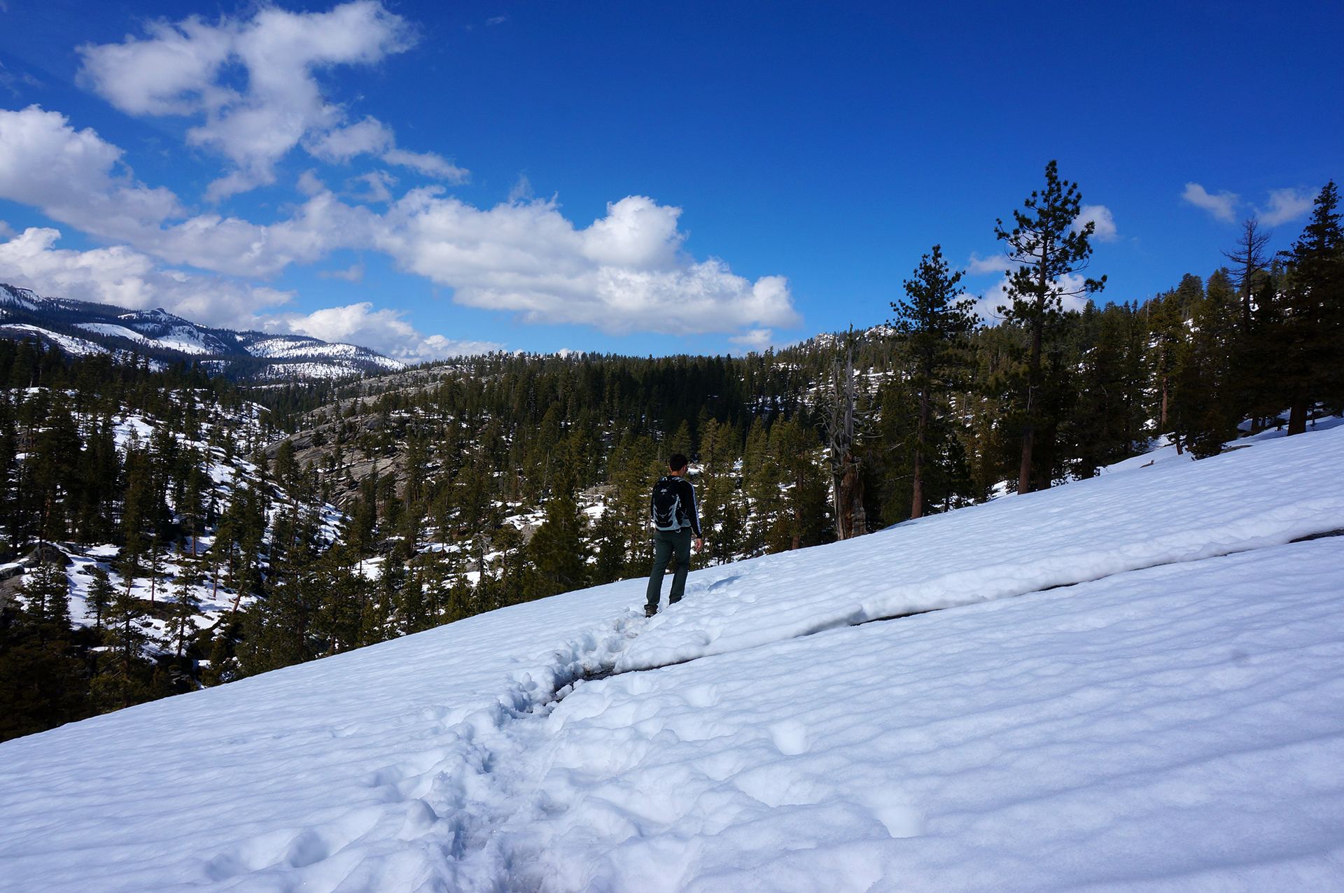
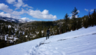
After lunch, full of food but thirsty for hiking, we drove over to the trailhead for the Kaibab Trail, which leads down and across the canyon to the South Rim.  After a mile or so of hiking down the trail, the views were breathtaking.

There were lots of donkeys on the trail, which was fairly entertaining, even though they can make the footing for hikers a little… treacherous.

We talked to a fellow hiker at an overlook, and it turned out he was hiking rim to rim – a 24 mile, single-day death march.  He was part of a tour group, apparently for crazy people, and he was really looking forward to the top, where he had been promised they would have beer.

“Almost there,” we said.

“Everyone says that,” he said.

Then we had to head back.  At 8,000 feet, that meant hiking steeply a few miles back up the canyon, leaving us breathless yet again.

Too many pics

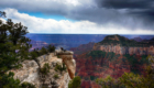
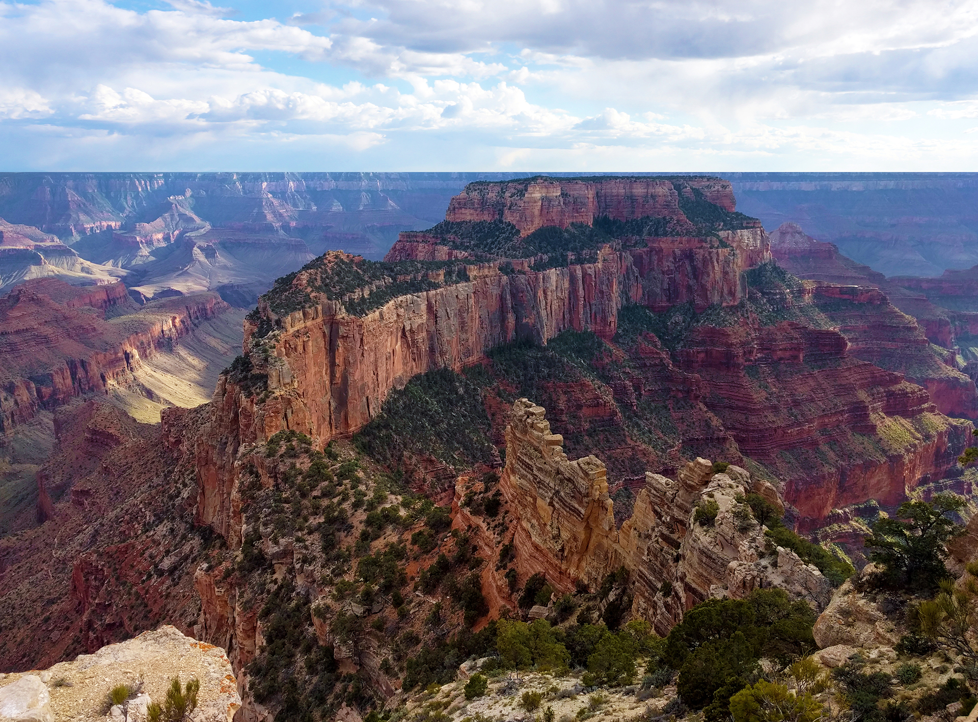
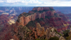
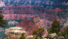
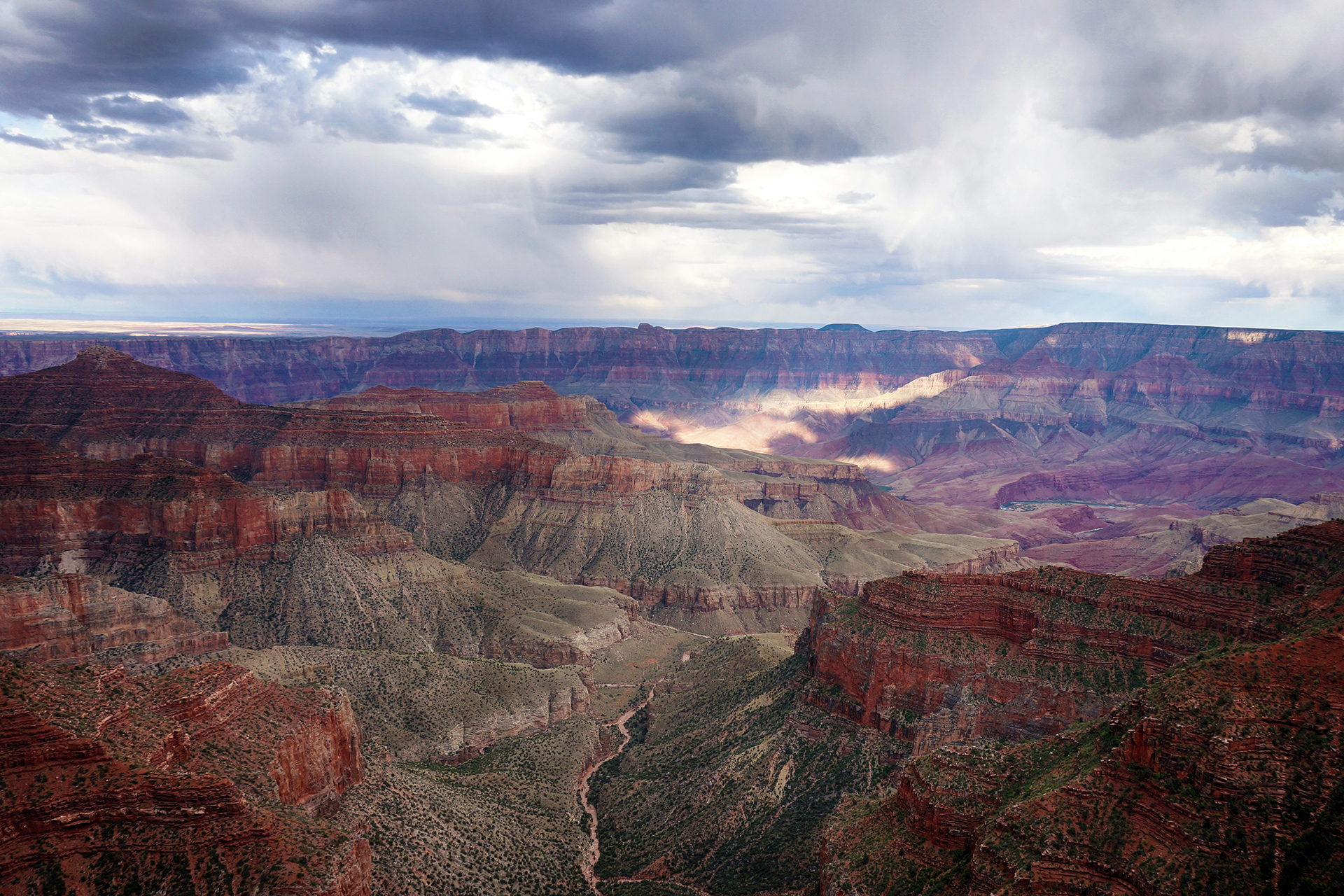
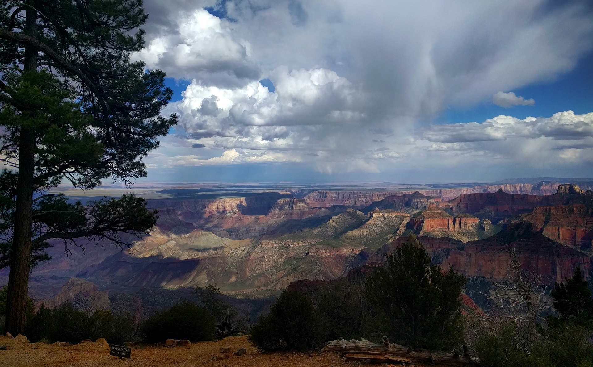
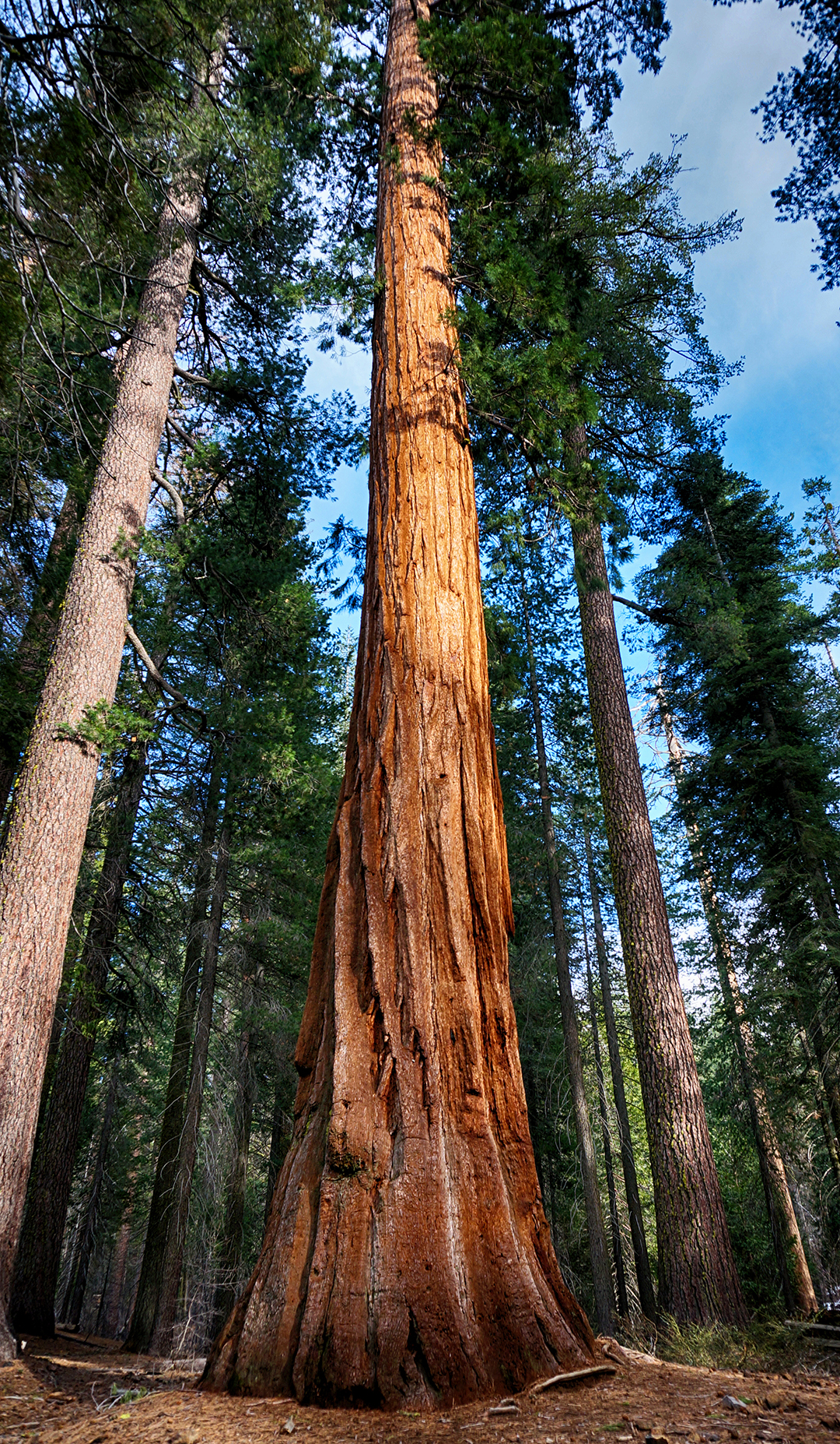
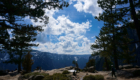
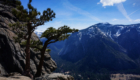
Writing can’t do justice to the Canyon, so we’ll mostly leave the rest to Heather’s pictures.  (She goes through a heroic number for each blog post, but especially for this one.)  Touring the canyon mostly involved driving around and stopping at viewpoints, so here’s Point Imperial, at nearly 9,000 feet the highest point in the canyon.

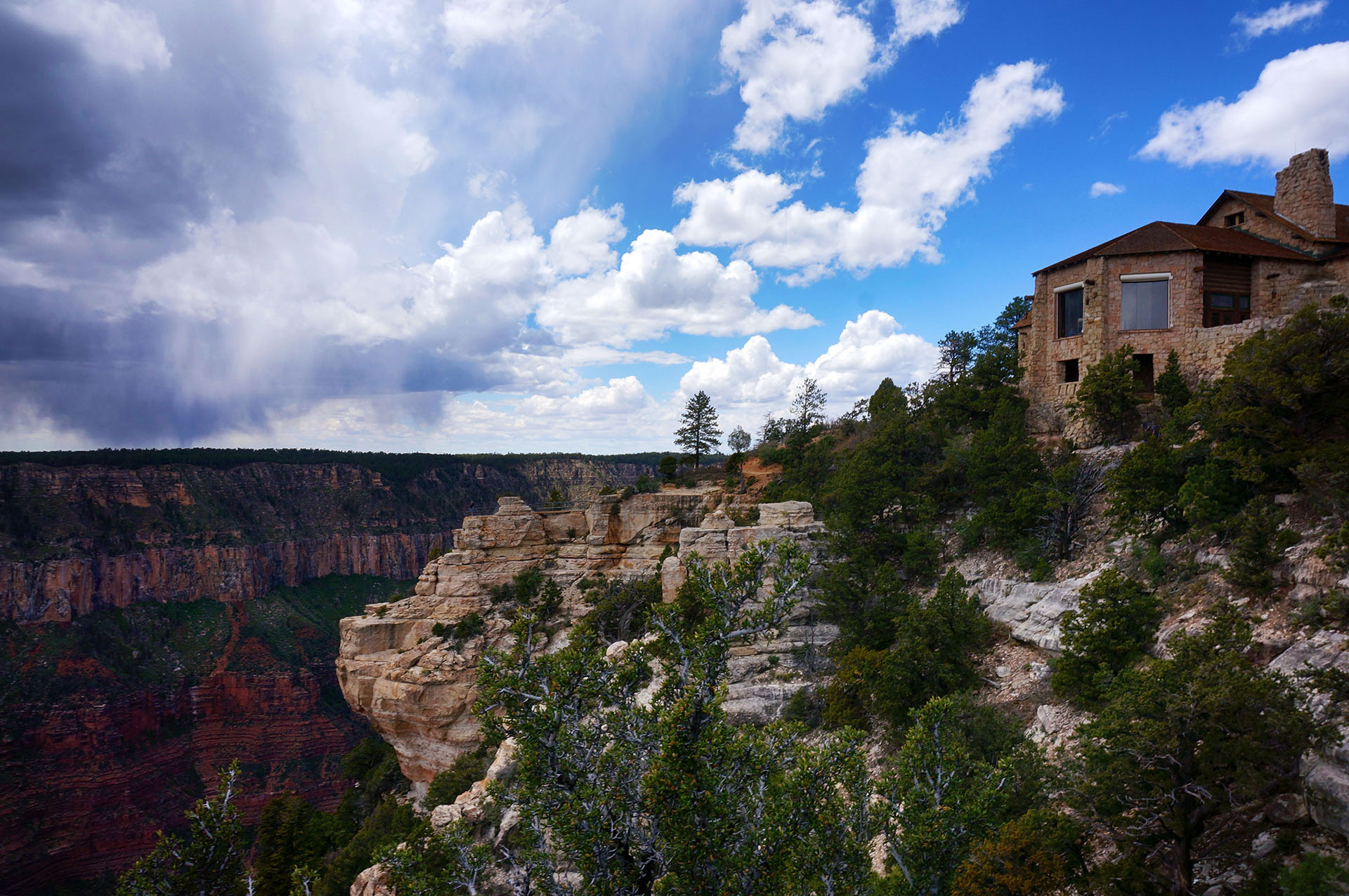
Eventually, we reached the end of the scenic drive at Angels Window, a hole in a rock outcropping with a viewing platform built right on top.

We walked all around the rim of the canyon here and came away with some truly epic photos.  (Bonus: if you haven’t already, click here to check out a 360-degree photosphere of the Grand Canyon in all its glory!)

We finally headed back to Kanab near twilight.  There were deer everywhere along the road – we probably saw 100 in total – along with lots of tourists, stopping to take pictures of such an exotic animal.  We also nearly ran over a coyote, which trotted halfway across the road, checked us out for a moment as we skidded to a stop… then it just kept going, unimpressed.

Guess it was hoping we were an Acme delivery truck.

Roadtrip Time Travel

Roadtrip Status

Still alive?  Check.

Where are you now?  Pittsburgh, PA.

Next location?  Somewhere else?

Follow Us On Social Media

FacebooktwitterinstagramFacebooktwitterinstagram

Latest Posts

0

Week 46.2: Great Basin National Park

After a short-but-sweet visit to Salt Lake City, we headed south along I-15. It was smooth sailing through the valleys between Utah’s many mountains, but we soon turned off towards the west, to the tiny town of Delta, UT – population 3,500. Delta is at the absolute end of civilization, sitting on the edge of a vast desert wasteland.

On the other side of that wasteland? Our destination, Great Basin National Park.

Mad Max: Utah

“Great Basin” is the name of a national park, but it really describes a much larger area. The Great Basin is a desert, and it encompasses almost all of Nevada and some of surrounding Utah, Idaho, and Oregon. Situated between the Sierra Nevada and Wasatch mountain ranges, the Great Basin is unique because it drains internally – none of the (little) water flows out to any ocean.

Great Basin National Park is in Nevada, 100 miles from Delta, but with a speed limit of 80 mph, it wasn’t such a long drive. It certainly was memorable, though. The terrain was utterly fascinating, a unique and alien landscape which defines “barren.” There are no towns in that 100 miles, frankly no people at all, and the desert was often utterly flat and empty. Then, out of nowhere, we would encounter a shimmering salt lake or a jagged mountain range – which we would zoom by, and then back to nothing.

It was a good place to pretend to be in a Mad Max movie. Also: thank goodness for podcasts.

Oldies But Goodies

Aside from cinematic fantasies, the reason we made the trek through the wasteland was to see the world’s oldest trees – Great Basin’s bristlecone pine trees. Bristlecone pines aren’t particularly lovely – they’re small, twisted, and gnarly – but they are particularly good at surviving. Their age was actually unknown until 1964, when a grad student cut one down and counted the rings.

And discovered he had killed a 4,862 year old tree, one of the Earth’s oldest.  Whoops!

Today, bristlecone pines are better protected, but we never actually got to see them. Even though it was mid-May, the mountaintop where they live was still closed due to snow. (In fairness, that mountain is 9,000 feet high.) We had to settle for some amazing views from a nearby overlook.

Underground Vandalism

With no bristlecone pines, we decided to visit the other major attraction at Great Basin, the Lehman Caves. We’ve been lucky enough to see some beautiful caves on this trip – most notably the Caverns of Sonora – and the Lehman Caves could have been one of the best.

Sadly, however, they have been horrifically defaced. The original owners of the cave used to sell stalactite pieces to visitors, so many of the features are clipped off halfway down. In another room, visitors were encouraged to leave their name on the ceiling via candle burn marks. The ranger leading our tour suggested that the defacement of the caves created a new cultural significance, but we couldn’t help but feel sad for what was done there.

Speaking of the ranger, here’s a story that we just have to tell. The ranger leading our tour, Ranger Steve, was a seasonal ranger, meaning he had only recently arrived to work during the summer season. Steve was friendly and started out strong, but over the course of our ninety minute tour, his discussions gradually became more and more rambling.  By the end, he was almost incomprehensible.

That was strange, but things soon got stranger.  Our group ended up heading out of the caves around the same time as another group. The ranger of that group (lets call him Alan, because we don’t remember) asked Ranger Steve if they should merge the groups. Steve seemed genuinely terrified to answer and deferred to Alan, who then took charge of both groups. As we walked out of the cave entrance, Alan thanked everyone for coming and suggested we all come back for another tour sometime.

Which sounds innocuous, except that what Alan actually said was that we “should come back sometime and get a different experience with a different guide,” while staring directly at our (Ranger Steve’s) group.  The implication was clear: Steve was the worst, and we should try again sometime with someone else.

Ranger Steve just stared at the ground and said nothing.

Friends, this raised so many questions. Was Ranger Alan doing some sort of subterranean bullying of Ranger Steve? Or maybe Ranger Steve really was a terrible ranger, and even he knew it? Was Ranger Steve even a ranger?

So strange. The last puzzle piece of weirdness, though, is that all of this was only Jake’s experience. Heather didn’t observe any of these interactions between the rangers. Her experience was just that Ranger Steve and Ranger Alan were both “very nice.”

So… did any of this even happen?  Or was it all some kind of cave madness?

Was Ranger Steve even real?

We may never know.

Roadtrip Time Travel

Roadtrip Status

Still alive?  Check.

Where are you now?  Still in Pittsburgh, moochdocking with friends.  Thanks, Jamie and Chris!

Next location?  Dunno.  We are beginning to regret including this field in each blog post.

Follow Us On Social Media

FacebooktwitterinstagramFacebooktwitterinstagram

Latest Posts

0

Week 45.1: North Cascades National Park

As a day trip from our campground north of Seattle, we headed out to North Cascades National Park.  The park is situated northeast of the city, very close to the Canadian border, and all we can say is:  Wow.

North Cascades is a stunner.

North Cascades is somewhat unusual in that there isn’t all that much to do – the park is mostly undeveloped, save for a village servicing the hydroelectric dams and some hiking trails and overlooks.  We were there in early May, and as it happened, that was too early in the season even for most of the hiking trails.  (You’ll see why later.  Foreshadowing!)  So, although we love to hike at national parks, we just drove through and enjoyed the views.

Jack Kerouac once worked as a fire spotter at North Cascades for a few months, at the colorfully-named “Desolation Peak,” and we can see the appeal.  The views here are incredible.  The lakes are bright blue, colored by “rock flour” – stones ground to dust millennia ago by the weight of the glaciers.  Most have since retreated, but the park still holds many of the country’s glaciers.  In fact, in many ways, the park is like a less-developed version of Glacier National Park.

U.S. Route 20 runs through the park, and it had only just opened when we arrived.  We didn’t fully understand why until the road began to climb – and the snow piled up alongside us.  Soon, we were driving past massive snow banks, 10+ feet high, the road cutting sharply through the drifts.  In May.

We were wondering about the mammoth job required to clear the road, which can receive up to 40 feet of snow per year and is prone to massive avalanches.  However, when we reached the pass which marked the unofficial end of our scenic drive, we got to see it in action:  the road crews hadn’t quite finished with their snow removal.  The scenic overlook was completely snowed in, with two gigantic plows waiting to finish the job.

Of course, we had to get a picture.

Luckily, a fellow tourist alerted us to an alternative overlook a mile down the road, where we enjoyed a truly epic view.  North Cascades is definitely a “show, not tell,” kind of park, so we’ll leave the rest up to the pictures.

Roadtrip Time Travel

Roadtrip Status

Still alive?  Check.

Where are you now?  “Chicago,” which really means “an hour away from Chicago in Indiana.”

Next location?  TBD.

Follow Us On Social Media

FacebooktwitterinstagramFacebooktwitterinstagram

Latest Posts

0

Week 44: Olympic National Park

We left Portland near the end of April, driving sadly away from the land of food trucks and fast Internet to the far northwest. We made slow time along small, curvy, quiet roads, until we reached our destination: Washington’s Olympic Peninsula. The region is dominated by Olympic National Park, which fills the center of the broad peninsula with mountains, lakes, and rainforests.

It is stunningly beautiful.

Olympic is a wild place, yet. The forests feel ancient, like remnants of a more primitive time, and the waves crash onto the shore with fury. It won’t last – Seattle is not far, connected by large highways that will, in time, change the park irrevocably, smoothing the raw edges. The transition is inevitable. But right now, it still feels untamed, and we were thrilled to get to peek behind the curtain of civilization at the backdrop of the real, natural world.

It probably helped that it was the off-season.

Hoh Tell

The main draw at Olympic National Park is a scenic drive into the mountains at the heart of the park, particularly Mount Olympus. Unfortunately, because of snow and seasonal closings, that road was closed when were there, so you’ll have to wait until we get to the North Cascades to see some mountains. We did get to see something even cooler, though: the Hoh Rainforest, the wettest place in the continental United States.

Hoh is an epic forest. The trees are covered with moss, huge ropes and blankets of it, and everything is deeply, deeply green – not the bright, kelly green of spring, but something darker and more mysterious. Out of sight of the other visitors, it felt a little spooky.

It was also wet, of course. We spent a lot of time taking off and putting on our raincoats, as rain came in short, steady bursts that always ended just after we got everything out of our packs. We could have left our raincoats on, but it was warm and the humidity was impossibly high, making hiking while covered up very unpleasant.

That said, it was a pretty amazing place to walk around. Like Fern Canyon, it felt positively Jurassic.

As we were leaving, the ranger on duty mentioned we could see Mt. Olympus from the road on the way out. We were a little bummed that the scenic drive was closed, so we followed his directions: drive 17.2 from the visitor center, stand on the painted spot on the asphalt, and look northeast. Well, we dutifully reset out trip odometer, drove 17.2 miles, found the paint spot, and looked northeast, but… no mountain.

Oh well. At least we got to see a lot of moss.

Twilight Beach

On the way back from Hoh, we stopped at a “beach” on the Pacific coast. The scare quotes are because the waves are wicked and wild here, and instead of sand, the beach is littered with giant logs.

How do the logs get there? So glad you asked! They fall over somewhere, get swept down a river to the ocean, then the waves launch them onto shore during storms.  Like the equally wild Cape Perpetua in Oregon, it’s certainly striking, and hey – if you like to tan dangerously, this is the beach for you.

By the way, to get to the coast, we passed through the town of Forks, Washington.  The name sounded familiar, but we couldn’t quite put our finger on it. Then… we saw the sign, and it opened up our eyes.

Yes, Forks and nearby Three Rivers are the setting for the Twilight books and movies. In real life, there isn’t a lot going on – this is pretty remote country, almost as far north and west as you can possibly go in the continental United States. However, we did find the vampire / werewolf “treaty line,” along with a few scattered signs and banners that looked like they had seen better days.

Someday, when today’s tweens are older, this will be a nostalgic vacation getaway spot. For now, we’re sticking with Cabo – the vampire threat level is “high,” after all.

Potpourri

There was lots more to see at Olympic National Park, including the comely Crescent Lake. (Our thesaurus is running low on synonyms for “beautiful,” and we haven’t even hit Utah!) We passed by it every day on our drive, and every time, we just had to stop and take pictures.

We also hiked to Sol Duc Falls, a… pulchritudonous… waterfall with an unusual three-fall design. Looks man-made, but it isn’t (we hope!).

And speaking of threes, we actually thought we found Sol Duc about three times before we go to the real falls – there are a lot of waterfalls here!

Our final visit was to Port Angeles, the big city in this area. We got some great burritos from Little Devil’s Lunchbox (great name) and watched unimaginably giant barges float into the harbor, bound eventually for Seattle or Alaska or Japan or who knows where. The Pacific Northwest is pretty cool like that.  Then, it was on to Seattle.

Roadtrip Time Travel

Roadtrip Status

Still alive?  Check.

Where are you now?  Fargo, ND, home of… something, probably.  We’re just happy our Sprint hotspot works again.

Next location?  Bemidji, Minnesota, and the headwaters of the Mississippi.

Follow Us On Social Media

FacebooktwitterinstagramFacebooktwitterinstagram

Latest Posts

0

Weeks 41-42: The Redwoods

After leaving behind beautiful Napa, we embarked on a two-week tour of the redwoods of Northern California.  During those two weeks we stayed in three different towns, visited 5 state and national parks, and had our minds blown too many times to count.  But rather than try to break it all down into a bunch of little blog posts (and because we’re hopelessly behind), we decided to just compile the whole thing here.

To put it another way that could not possibly be taken out of context, if you’re looking for pictures of big wood, you’ve come to the right place.

Obligatory Redwood Facts

Before we begin, we have to make clear:  redwoods are pretty much the coolest trees ever. We didn’t know that much about them before we went, but here’s what we learned.

1. “Coastal” redwoods are one of the two main types of redwoods (a third type was recently discovered in China). Compared to giant sequoias, their cousins from the Sierra Nevada mountains (we saw some at Yosemite), coastal redwoods are taller but thinner, their bark is a deeper red/brown, and they look more like normal, but huge, trees.  To make things a bit easier, if we say “redwoods” in this post, we are referring to coastal redwoods.

2. The oldest known redwood is about 2,200 years old, which means it was born before Julius Caesar.

3. Redwoods can grow to be nearly 400 feet tall and 30 feet wide! It takes centuries to grow so large.  The location and size of the largest trees ever found are intentionally kept hidden to prevent visitor damage.

4. Redwood bark contains chemicals which repels insects, including mosquitoes (!!). They are also incredibly resistant to fire and decay, and due to these properties and their immense size, it can take over 500 years for a fallen redwood to decompose.

5. Because they require very specific conditions, including huge amounts of water, coastal redwoods grow only in a thin strip along coastal California and southwest Oregon. They typically grow near rivers in areas that receive regular fog; these trees grow so tall that it is difficult to move water all the way up the trunk, which means starting the water halfway up (via fog condensation) is helpful.

6. Like giant sequoias, redwoods used to be found throughout the Pacific Northwest, but due to extensive logging, old-growth redwoods (the really big ones) can now be found only in state and national parks. Only 5% of the original trees remain.  We owe the fact that any redwoods exist at all primarily to dedicated conservationists, most notably the Save-The-Redwoods-League, founded in 1917.

Humboldt Redwoods State Park & the Avenue of the Giants

Chances are that if you’ve been to a redwood park, you’ve either been to Muir Woods near San Francisco – where the trees top out at “only” 260 feet – or you’ve driven the Avenue of the Giants.  The Avenue of the Giants is a 30 mile long scenic road that cuts directly through a huge, old-growth forest.  We stayed overnight in Stafford, at the northern end of the park, and only drove the last 10 miles – but it was spectacular.  In our opinion, this might be the best redwood park.

This was our campsite in Stafford, where we parked by the stump of an old growth redwood (with some new redwoods growing out of it). The stump dwarfed our RV.

After settling into our campsite, we headed to the Avenue of the Giants, and saw our first old-growth redwoods. We were blown away by their size and beauty.  Sadly, no picture can ever do them justice.  The groves we saw along the Avenue of the Giants were peaceful, quiet, and perfect – there is something indescribably serene about walking beneath the redwoods with nobody around.  The short hike we took through Rockefeller Grove was one of our favorites of all time, as was a random grove we visited along the side of the road.

There are some true skyscrapers to see.  Founders’ Grove contained some truly massive trees, including Founders’ Tree, at 346 feet high, and a fallen tree that was even larger.

Semi-fun fact! Humboldt Redwoods State Park was preserved when the Save-The-Redwoods League convinced John Rockefeller to donate two million dollars with a picnic in an old-growth grove in the park.  That grove is now known as Rockefeller Forest.

We drove out to the descriptive Big Tree Area, but it was located across the river from the parking lot, and the bridge had not yet been put up for the season.  Luckily, a fallen redwood provided a natural – and highly scenic – alternate crossing.

After hamming it up, we made our way across to Giant Tree, an incredible 363 feet high with a 53 feet circumference.

Giant Tree is most likely the biggest redwood we encountered on our travels, and it was extra-sweet because absolutely nobody else was around (or dared to walk the bridge).  The driving through Avenue of the Giants is also spectacular, not just on the main road, but especially on the Bull Creek Flats side road we took.  The road weaves carefully between giant trees, in places wide enough for just one car, while the branches form a vaulted cathedral ceiling overhead.  It’s pretty magical.

A Brief Civilization Interlude

After the Avenue of the Giants, we headed to the tiny town of Trinidad, California, just north of the larger towns of Eureka and Arcata.  Since it was the “shoulder season,” a term we recently learned, RV camping was wide-open, and we scored our cheapest spot ever… in a redwood forest! The extremely chill young woman at the RV park stacked some discounts for us, and our stay worked out to about $13 per night for a week.  (We later added one additional night, and a different, extremely un-chill woman yelled at us for having so many discounts and made us pay $40.  Boo!)

Speaking of chill, Arcata is probably the most hippified town we’ve ever been to.  We enjoy that sort of thing, but it does take a while to accomplish errands when every person in town appears to be stoned.  There was a lot of patchouli and slow-motion cashiering, which for these former NYC residents can be a little frustrating.  One fun anecdote: while we were waiting for our groceries to be bagged, a former employee of the grocery store was behind us in line, and the manager came over to say hi.  She then told him that he had left his watch at the store, and she had it in her office, where the watch alarm goes off at 2 p.m. every single day.  “I haven’t worked here for two years!” he said.

Yes, things move a little differently in northern California.  Unfortunately, it’s not always hella good.  We had high hopes for the town of Eureka, known for its Victorian architecture, but didn’t do much sightseeing since it was totally overrun by sketchy drifters.  We’ve noticed a lot of drifter-types on the West Coast in general (mild climate), but Eureka was in a class of its own.  We did get a few things fixed on our RV by an awesome service technician, but otherwise, we mostly stuck to the trees.

Prairie Creek State Park & Redwood National Park

Speaking of the trees, we visited Prairie Creek State Park and Redwood National Park, which are adjacent.  There’s tons to do, but but we focused on two hikes.  The first, within Redwood National Park, was a loop through some dense, green woods to a rare find: a waterfall within a redwood grove!  It was all quite pretty, although the moss-covered trees here were less memorable than elsewhere.

Prairie Creek was a little cooler.  We did a very long hike – around 12 miles – through the forest, stopping for a picnic at a beach on the Pacific Ocean.  Then, we hiked into Fern Canyon, a long, steep-sided canyon absolutely covered with ferns and moss.  It feels very prehistoric, and indeed, a scene from Jurassic Park II was filmed here!

But it was also extremely wet, and with the bridges not yet up for the season – a running theme – we had to step carefully as we crossed back and forth over the stream that runs through the canyon.  Jake’s hiking stick was invaluable for balance as we jumped between fallen branches and slippery rocks, and we made it in and almost all the way out – until a rock turned over on Jake, and he had to walk five miles back with soaking wet socks.

Semi-Fun Fact! Unusually, the 6 main redwood parks are operated jointly between the federal government and the state of California, which is why they’re called the “Redwood National and State Parks.” The only exception is Humboldt Redwoods State Park, which is run by California alone. The sixth park is Del Norte, which we never visited; it’s close to Jedidiah Smith State Park.

Soggy hosiery aside, this was a long but beautiful stroll through the redwoods.  Except for the areas right next to parking lots, we were all alone.  On the way back, we went more than four miles without seeing another soul.

The drive to and from the park is spectacular, although a little sad, as Highway 101 cuts a four-lane swath directly through pristine forests.  (While building it, they even tried to route the highway through the middle of several old-growth redwood groves – why??!)  In places, Highway 101 runs alongside the Pacific Ocean, as well as grassy green meadows full of wandering elk herds.  If you can overlook the wanton obliteration of nature required to create it, it’s definitely a drive worth doing.

Jedidiah Smith State Park

Our final redwoods trip was to Jedidiah Smith State Park, which sounds suspiciously like a place from the Simpsons.  We stayed in tiny Crescent City, California, right next to the ocean.  It was great, except for the nearby lighthouse, which made a loud “boop” every six seconds or so, all day, all night.

Boop.

Boop.

The redwoods themselves were great.  Jedidiah Smith is the least-developed of all the parks, requiring a bumpy drive along a dirt road through the forest to reach the biggest trees.  After seeing so many beautiful groves, it is easy to feel jaded, but the Endor-like forest and the mammoth Boy Scout Tree (5th picture in slideshow) amazed us anyway.

It’s really a bummer that redwoods grow in such a small part of the world, because they’re pretty awesome. The redwoods were #1 on Jake’s pre-roadtrip list of things to see, and they didn’t disappoint. It was a rare privilege to do so many redwood hikes, and not an experience we’ll forget.

Roadtrip Status

Still alive?  Check.

Where are you now?  Longmont, Colorado, beating the heat currently enveloping the Dakotas.

Next location?  The Badlands in southwestern South Dakota, and the numerous associated parks (including Mt. Rushmore!).

Follow Us On Social Media

FacebooktwitterinstagramFacebooktwitterinstagram

Latest Posts

0

Week 39: Yosemite National Park

After eating our way through San Francisco, we headed back to nature to walk a few pounds off.  Southeast of San Francisco is the famous Yosemite National Park, and we visited for two days in late March.  Although much of the park was still closed due to snow, we loved it there – once we got away from the crowds.

Intro to Yosemite

For anyone that hasn’t been there, Yosemite was one of the first national parks, and its beauty is staggering.  Because of road closures, we spent most of our time in Yosemite Valley, a huge, impossibly lush valley that sits between towering cliffs.  It looks a little like something from the Land Before Time movies, and everything about it is spectacular.

El Capitan, near the entrance to the valley, is a sheer, 3000 foot high cliff. Half-Dome, seen in many of our photos, outdoes that with an incredible 4,800 foot rise from the valley floor.

But it’s not all cliffs – Yosemite has a higher concentration of large waterfalls than any other place on earth.  Or rather, sometimes it’s both; Yosemite Falls is the highest waterfall in North America and it has a 2,400 foot drop (in three stages).

We’re Gonna Need a Bigger Camera

Yosemite is also known for its groves of giant sequoias.  Sequoias are not just the largest trees, they are the largest single organisms by volume, anywhere in the world. They are incredibly huge, and they live for thousands of years.  In fact, giant sequoias are so badass, they release their (surprisingly tiny) pine cones only during forest fires – which they then survive easily.

Unfortunately, sequoias only grow in a thin strip of the Sierra Nevada mountains.  Like their taller but more slender cousins the coastal redwoods, very few are left due to logging activity, and all known trees are protected by state and national parks.

Sadly, the 200+ sequoias at Mariposa Grove at Yosemite are off-limits for all of 2016 due to restoration efforts.  We therefore hiked down to another grove, which has only 25 sequoias.  A little disappointing, but we were awed by the few we saw anyway.

Trip to the Top

Yosemite’s most famous hike is the notoriously brutal Half-Dome, but that was closed for the season.  We’re not sure whether we would have tried it, but in any event, we ended up on another legendarily difficult hike: The Upper Falls trail. This hike climbs to the top of Yosemite Falls (pictured below), rising up 2,700 feet in just 3.5 miles via an unending, unrelenting series of switchbacks over loose, rocky terrain.

Friends, the scenery was incredible, but this was the toughest hike we’ve ever done.

We’re still not sure how we made it up, but we did.  Once we reached the top, we walked down to the viewing platform near the falls, which requires a slightly terrifying walk along a narrow, extremely windy ledge holding only onto a pipe railing.  To be honest, the small and unsatisfying viewing platform, combined with the wind, may not have been worth it.

Gluttons for punishment (and maybe delusional from endorphins), we then somehow decided to do a “slight” extension to our hike by heading up to Yosemite Point (it’s the cliff in the upper left of the photo below).

Only a half-mile each way, we didn’t realize this would entail walking further up a mountain through giant melting snowfields, the trail utterly lost beneath the snow.

While hiking in the snow was challenging, it was pretty fun, especially since it was warm out. We tossed a few snowballs around, and it didn’t even occur to us that we were hiking next to, then above, the rapidly flowing river that becomes Yosemite Falls.

Even though we lost the trail a few times, our hike to Yosemite Point was well worth it. The views were spectacular, and almost no one else was around.

The way back down, however, was a different story. We did it gracefully, and definitely not by sliding on our butts down the hill and getting snow in every crack and crevice.

Definitely not.

From there, it was still another 5+ miles back to our car.  Although it was downhill, hiking at this point was truly exhausting, and our feet and knees were screaming by the end.  Plus, Jake drank a full three liters of water on our climb, and there were no bathrooms or private spaces on the trail, so… he was very motivated to reach the bottom. Heather stopped to take a few photos of the valley and check out our fitbit stats, while Jake made a beeline to the facilities.

Crowding Around

Yosemite is amazing, but the unfortunate truth is that it is also very crowded. Even during March, with half the park closed, we encountered very long line at the entrance station.  Inside the Valley itself, there were thousands of people at any given time.  National parks are usually quiet, but Yosemite has its own federal courthouse inside the park.

We don’t mean to give the wrong impression – it’s great that so many people are out visiting such an awesome park.  But we saw so much bad behavior as a result of the crowds, stuff like slamming on the brakes in the middle of a 45 mph roadway – with no warning – because something looks pretty.  Or double- or even triple-parking in the closest parking lots, rather than walk 100 yards.  At one point, we saw an obese person driving around in a motorized Rascal with a basket full of snacks (seriously).

Again – this was in March! If you visit, and you should, we definitely recommend you go during the off-season.

Prospecting For Jerks

While visiting Yosemite, we stayed in the small town of Mariposa, which is about 45 minutes away (and a gorgeous drive). Mariposa is cute, with a “prospector” shtick, based upon its days as a mining town.  We stayed in the Mariposa Fairgrounds, which is basically a giant, empty grass field with power plugs.

We didn’t have much Internet, but everything was fine, until the biggest RV we have ever seen pulled in.  So large, it was pulled by a tractor trailer cab!  And… it parked right next to us.  Despite the fact that we were the only other people in a 100+ yard empty grass field.

We thought that was annoying, but they topped it by pulling forward to unload their ATVs from the back of their RV.  Instead of then reversing back into a spot, they ran extension cords out to their rig, which was now parked in the center of the field.  So despite nobody else being around, they managed to find the only possible way to be uncomfortably close to us.

Amazing stuff.

Roadtrip Status

Still alive?  Check.

Where are you now?  Ogden, Utah, just north of Salt Lake City.

Next location?  The Grand Tetons and Yellowstone National Parks!

Follow Us On Social Media

FacebooktwitterinstagramFacebooktwitterinstagram

Latest Posts

1