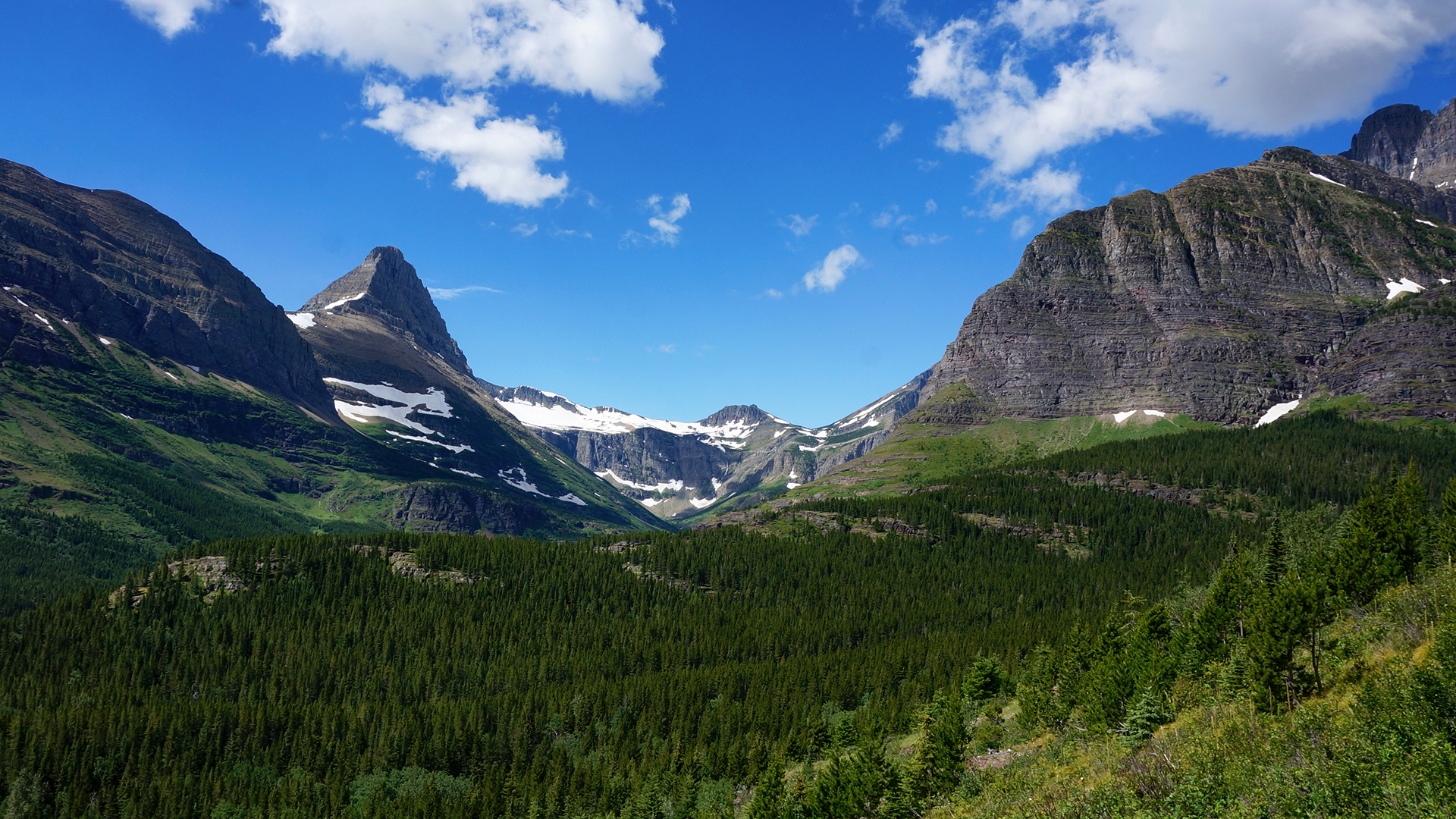
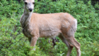
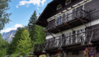
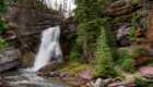
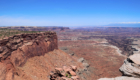
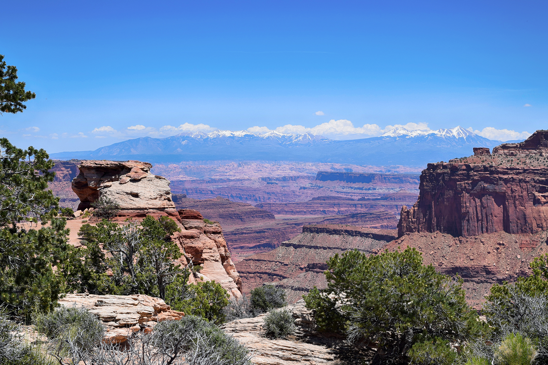
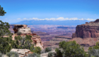
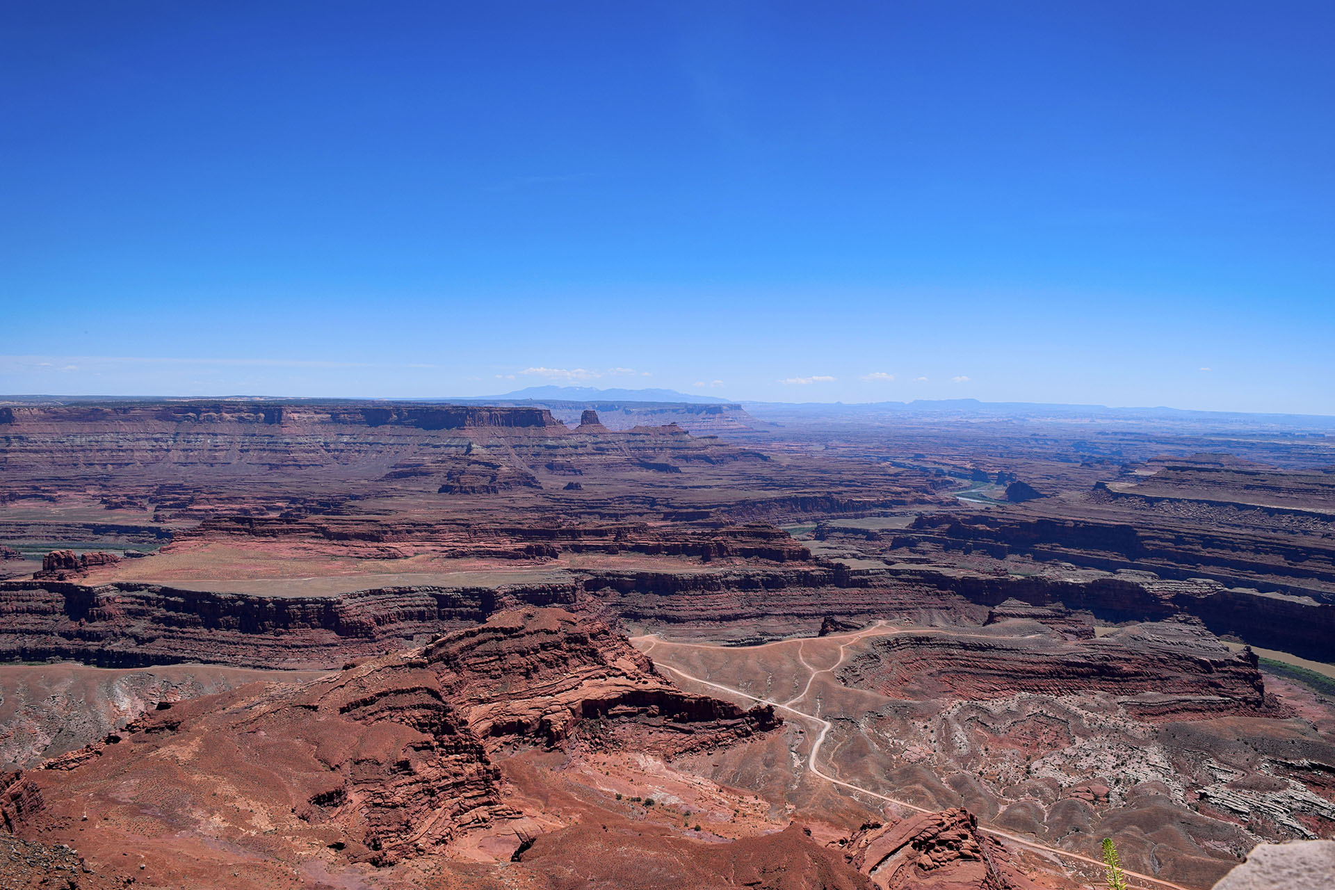
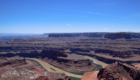
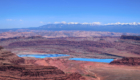
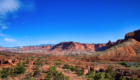
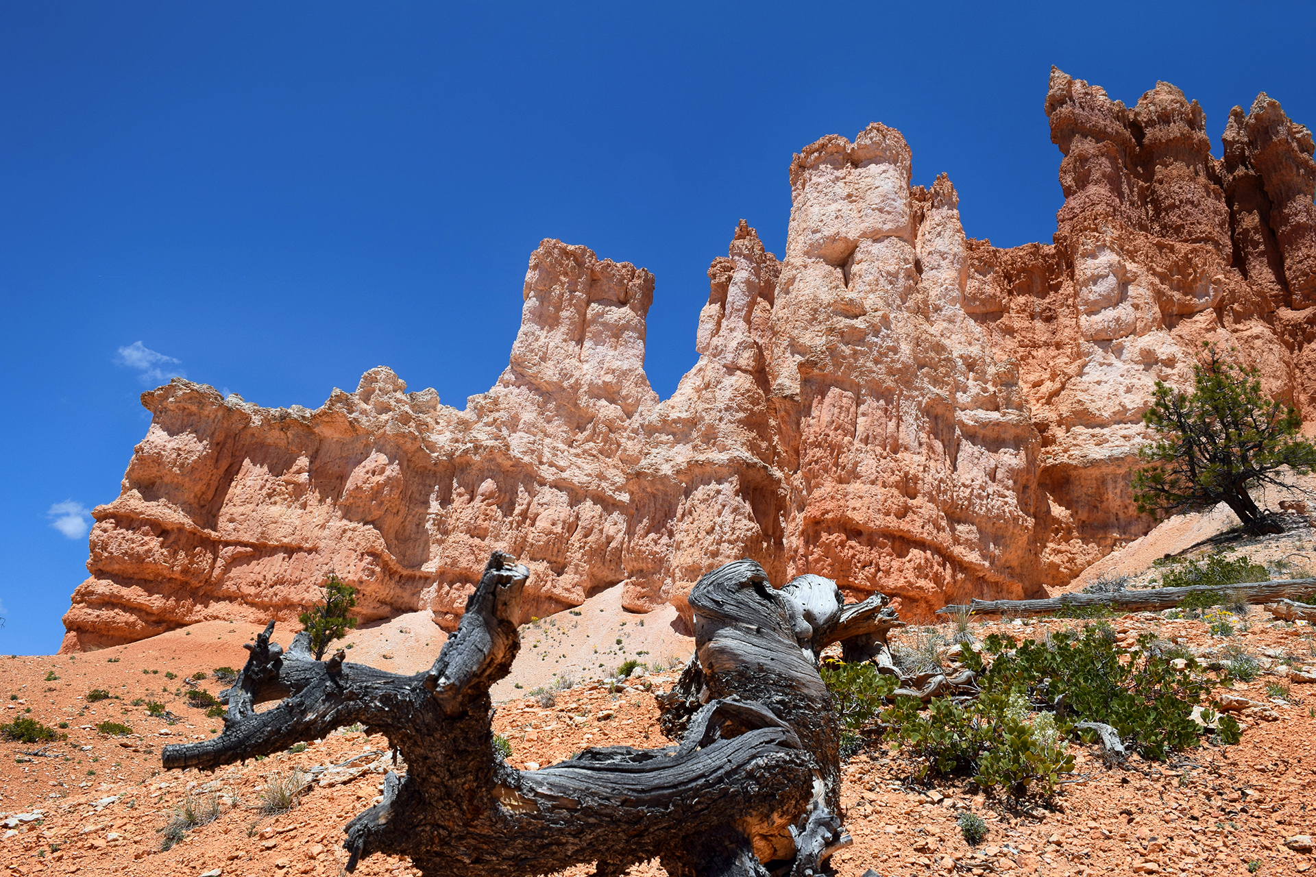
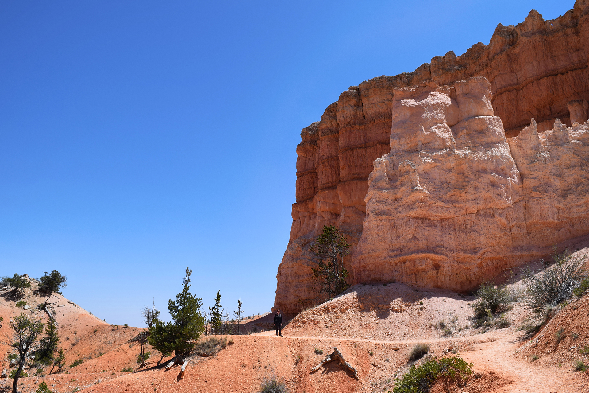
Week 56: Colorado (before we moved there)

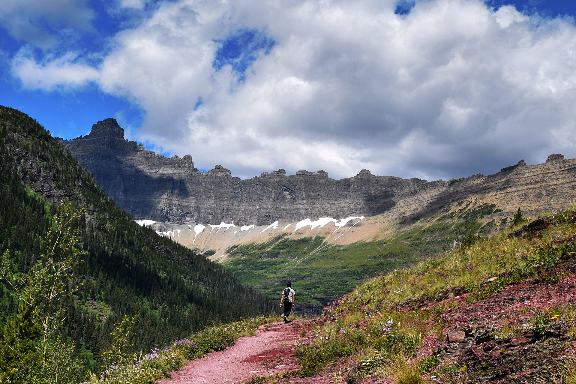
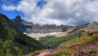
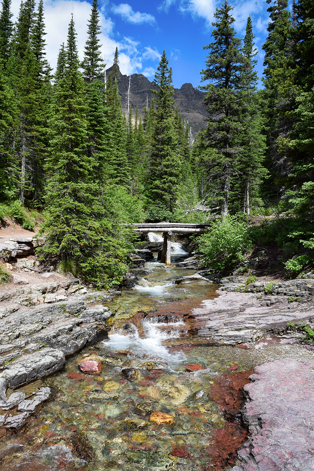
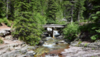
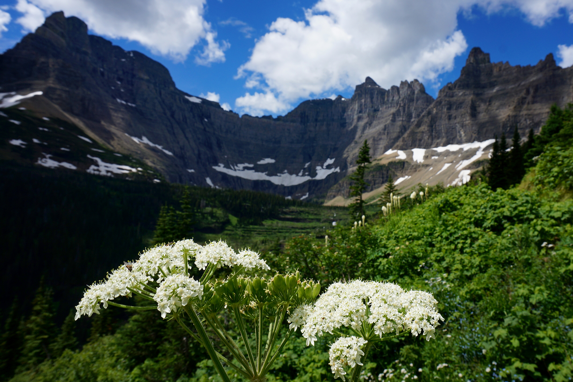
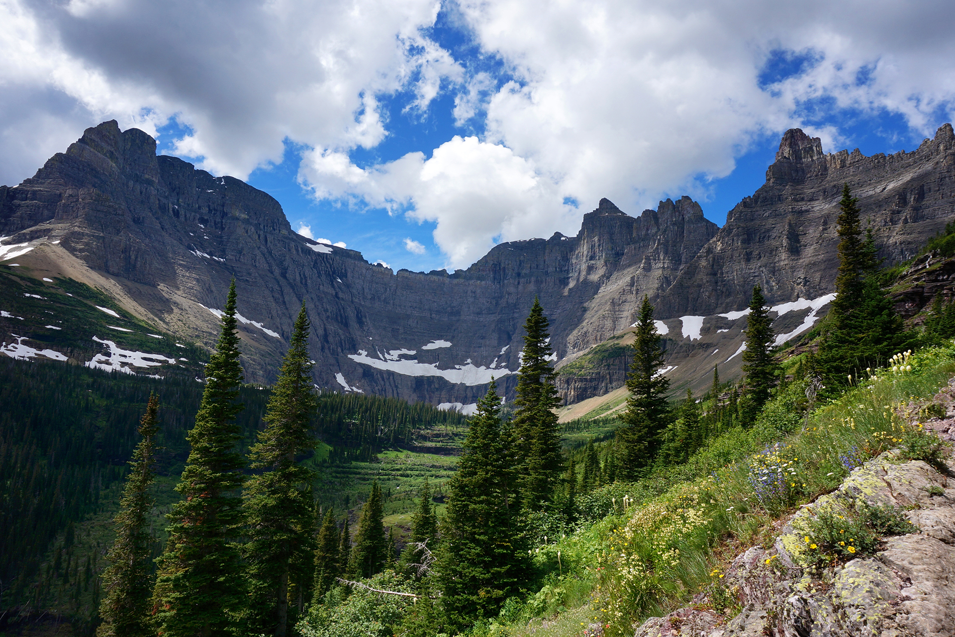
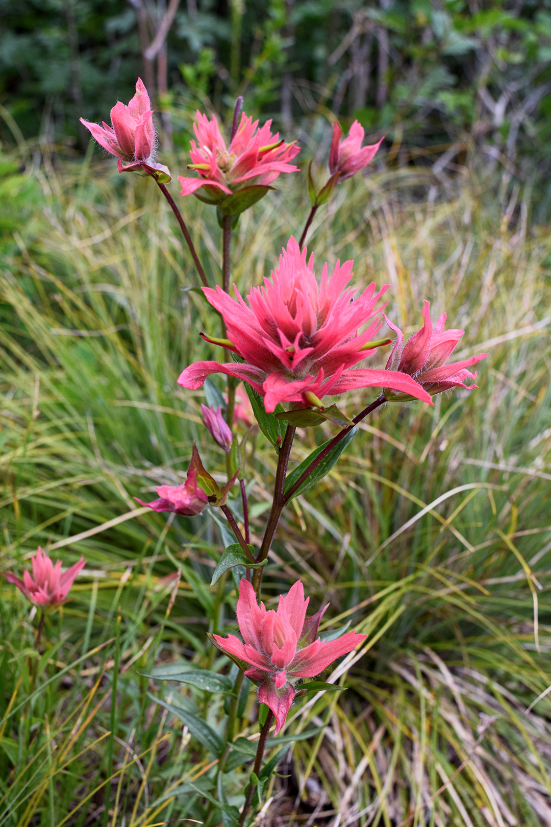
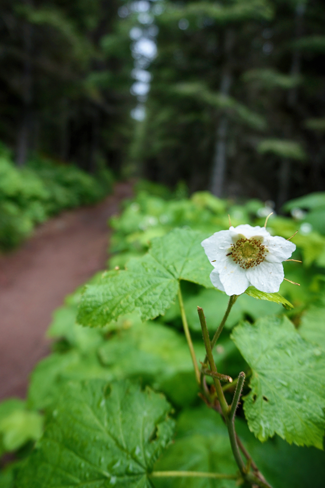
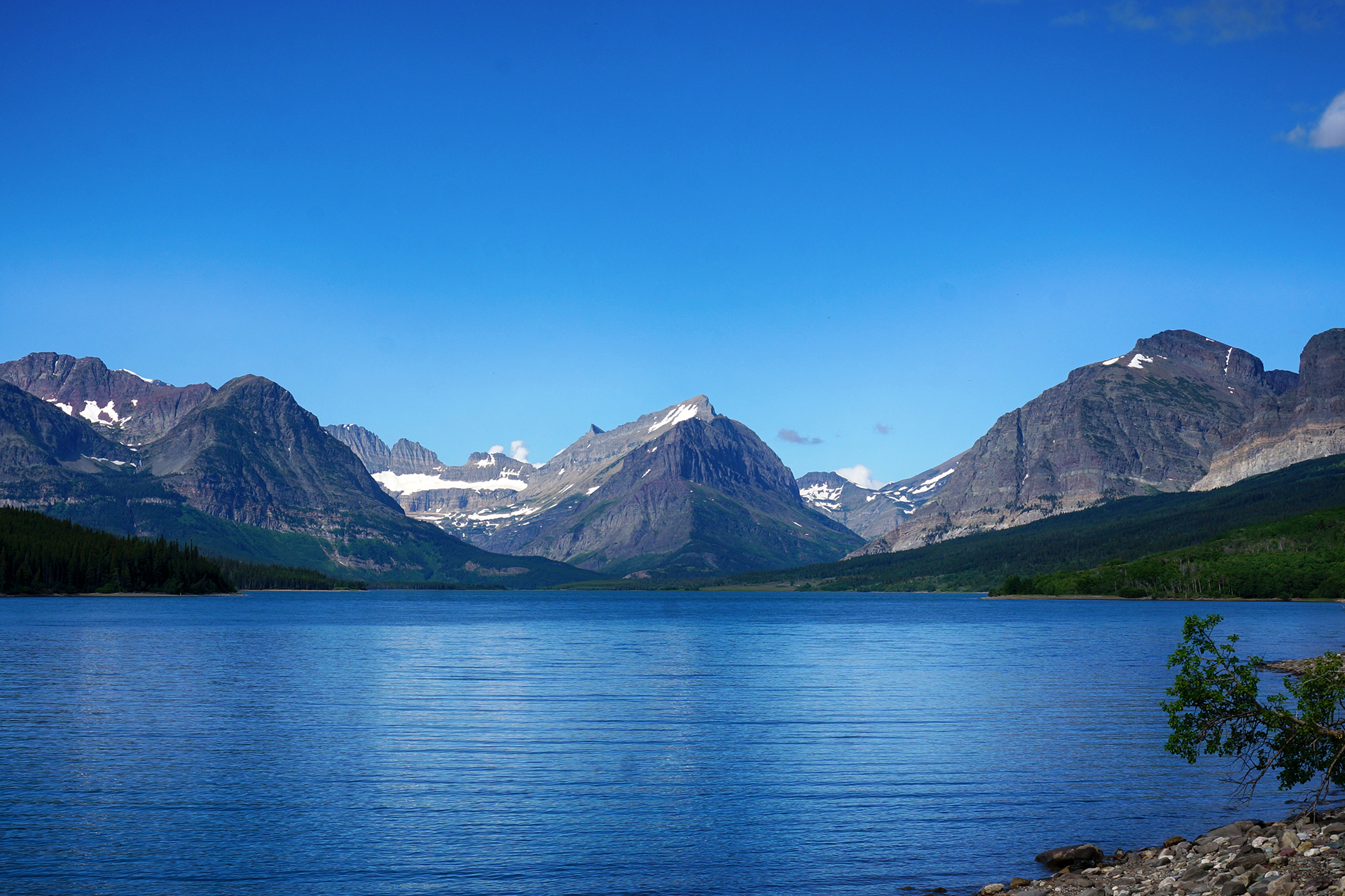
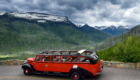
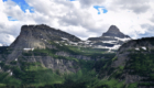
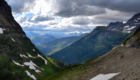
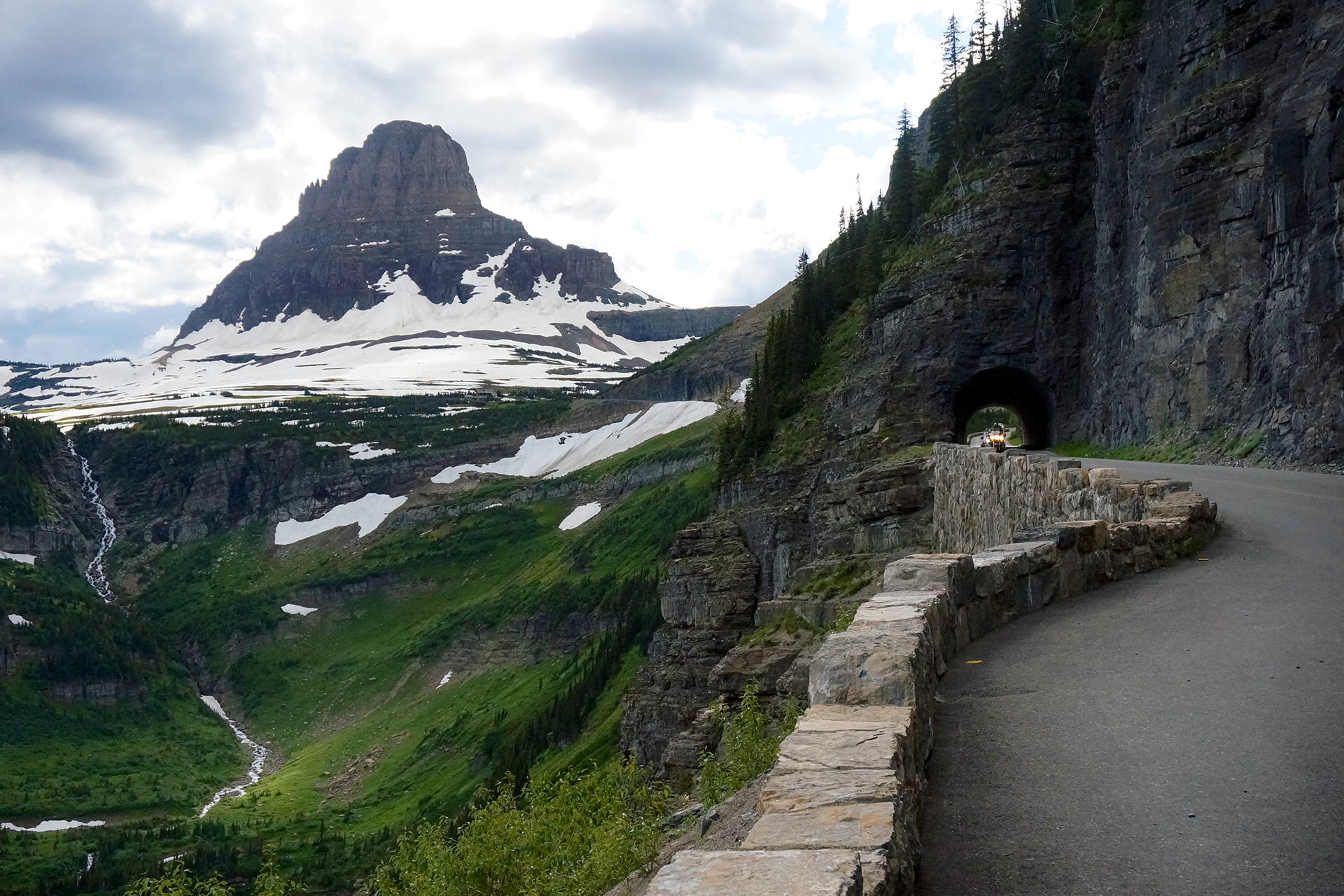
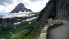
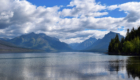
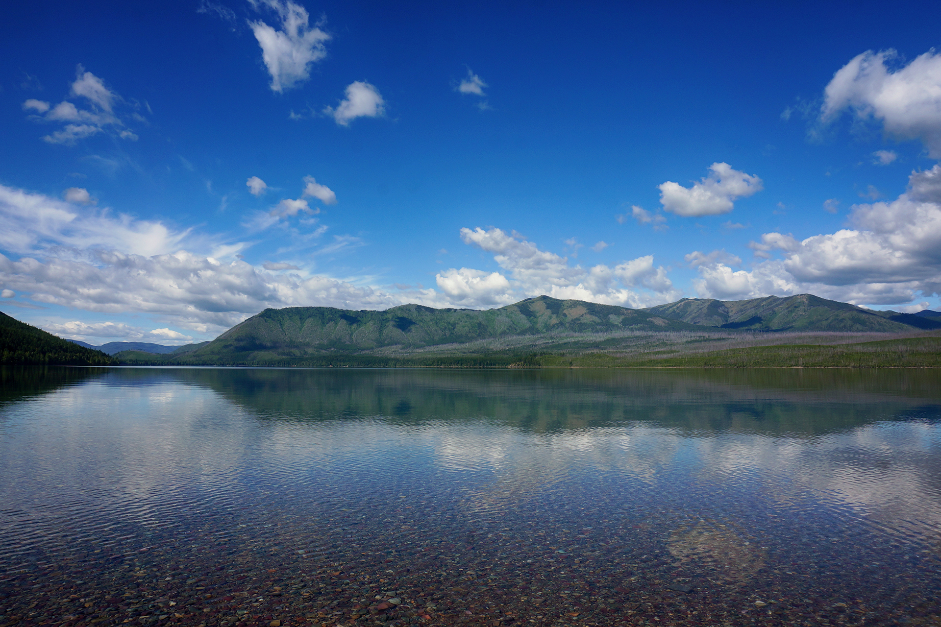
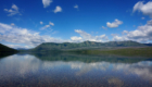
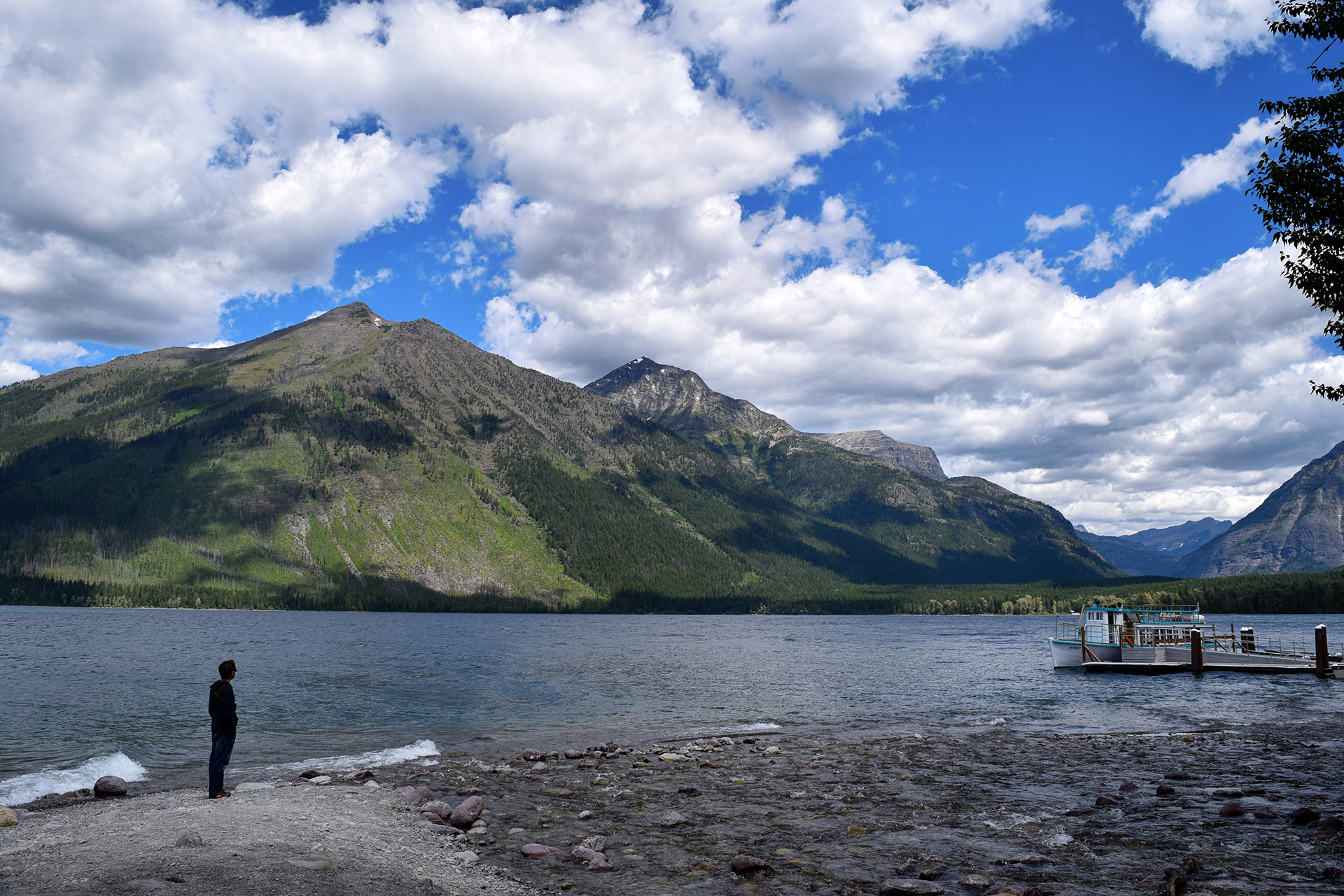
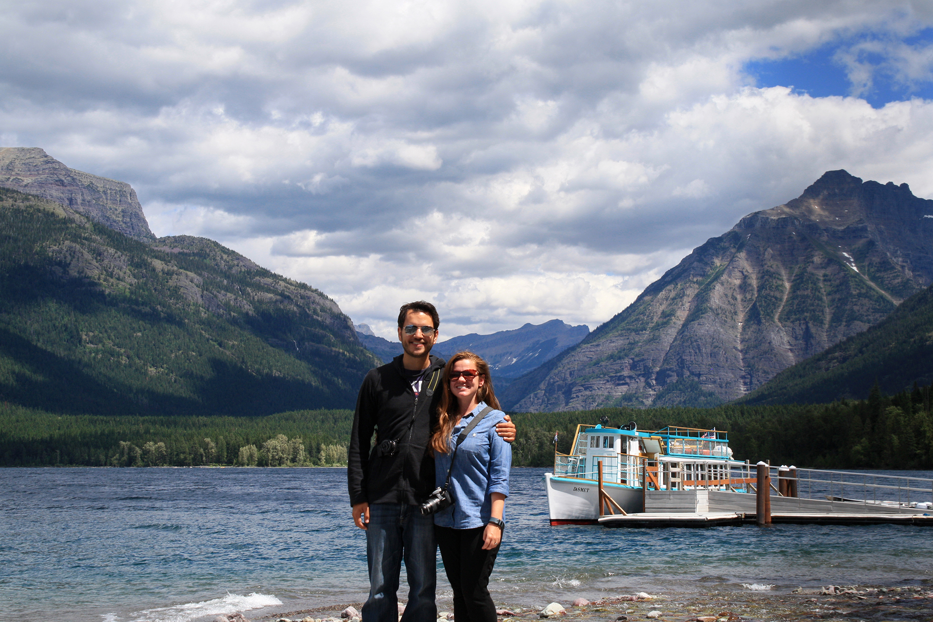
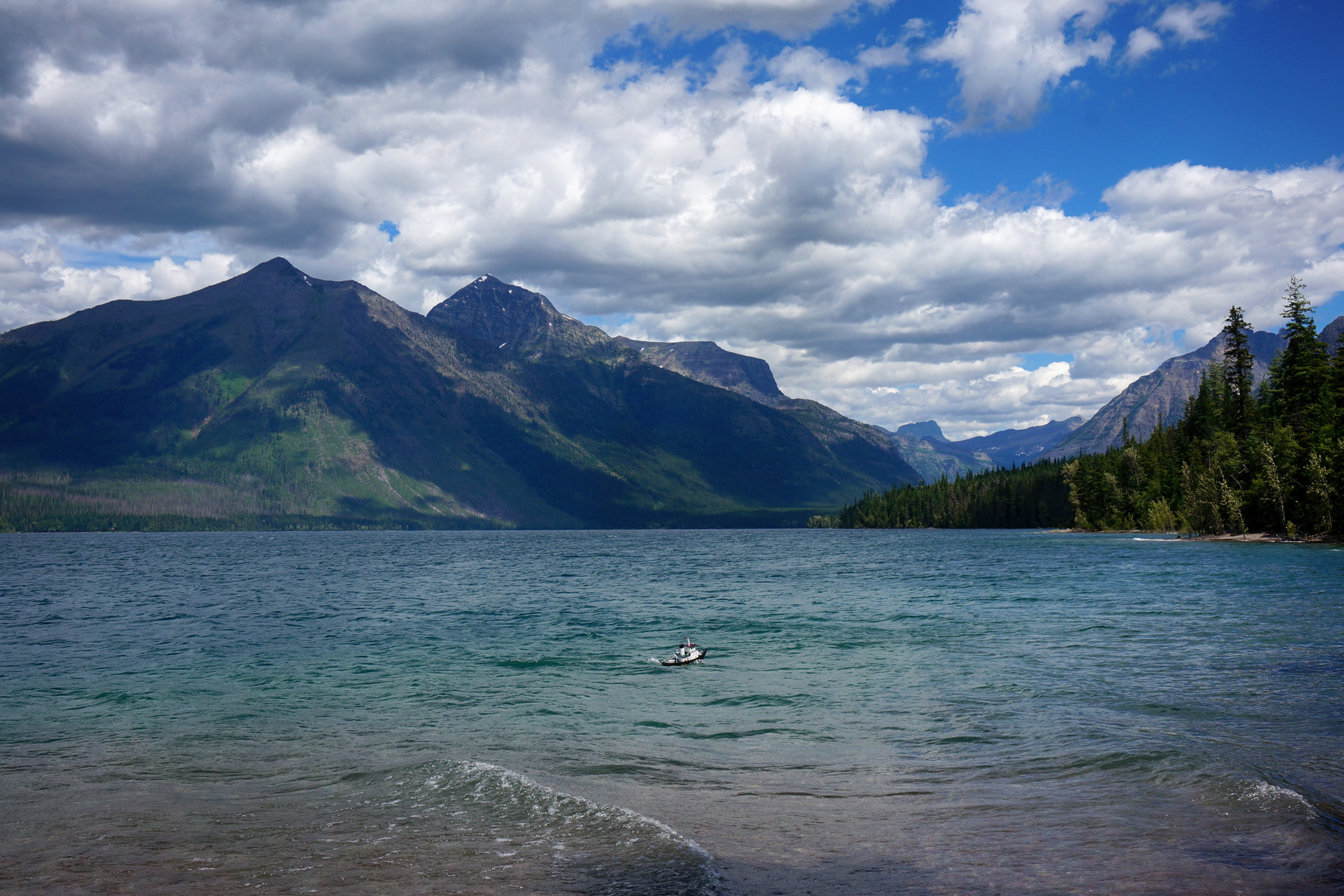
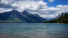
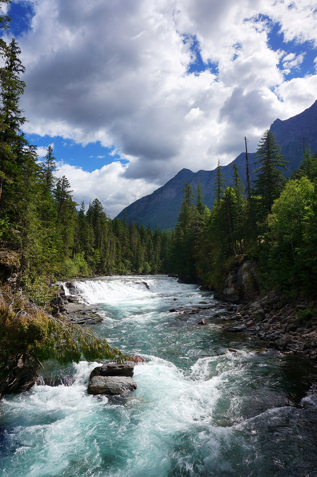
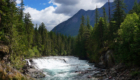
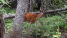
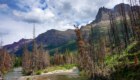
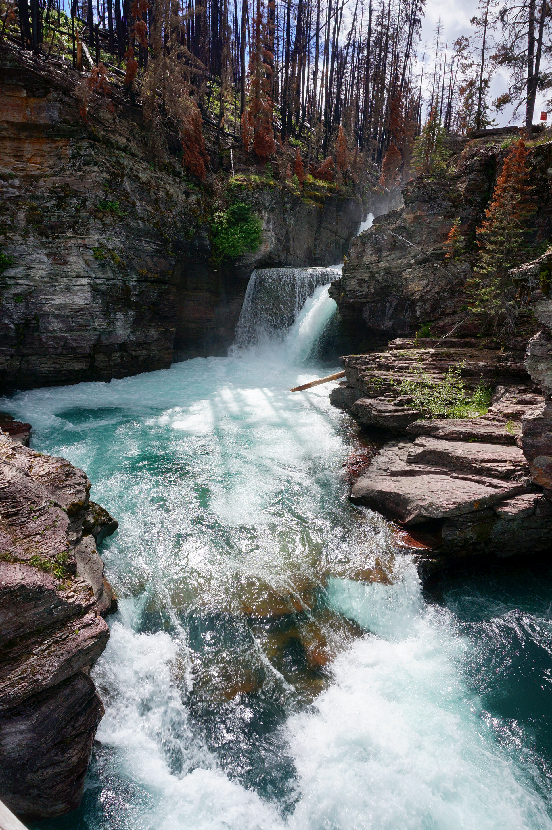
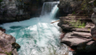
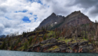
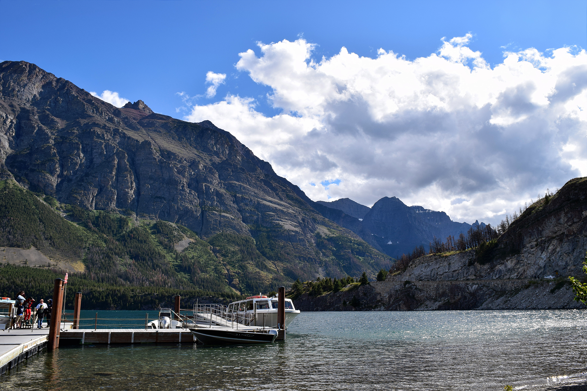
After leaving behind the awesomeness of Glacier National Park and spending a few days moving across Montana (it’s big!), we were planning to go to the Black Hills in South Dakota.  However… how do we put this politely?

We needed some goddamn Internet.

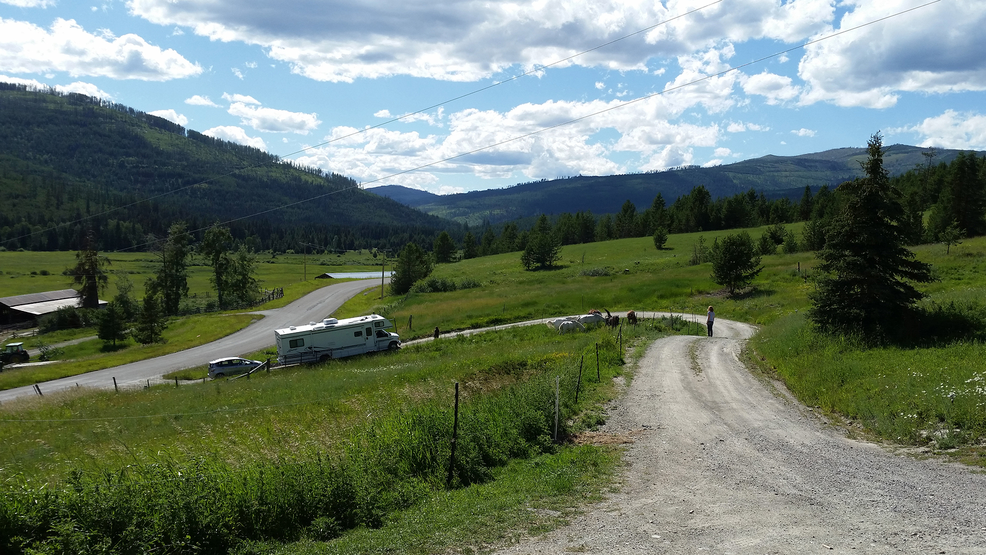
The unlimited Internet hotspot we had at this point in our trip used Sprint’s network.  But there is a giant hole in Sprint’s network coverage in the northern Rocky Mountain area, and that was where we had been living for months.

In the map above, the yellow represents “good service” and the red represents “good luck.”  Note the circled area in the map above.  We were within that circle, or someplace with even less service, between May 6 late July.  Let’s just say the idea of going weeks longer without Internet as we explored the Dakotas was a real non-starter.

No Internet and no civilization make Jake and Heather… something something.

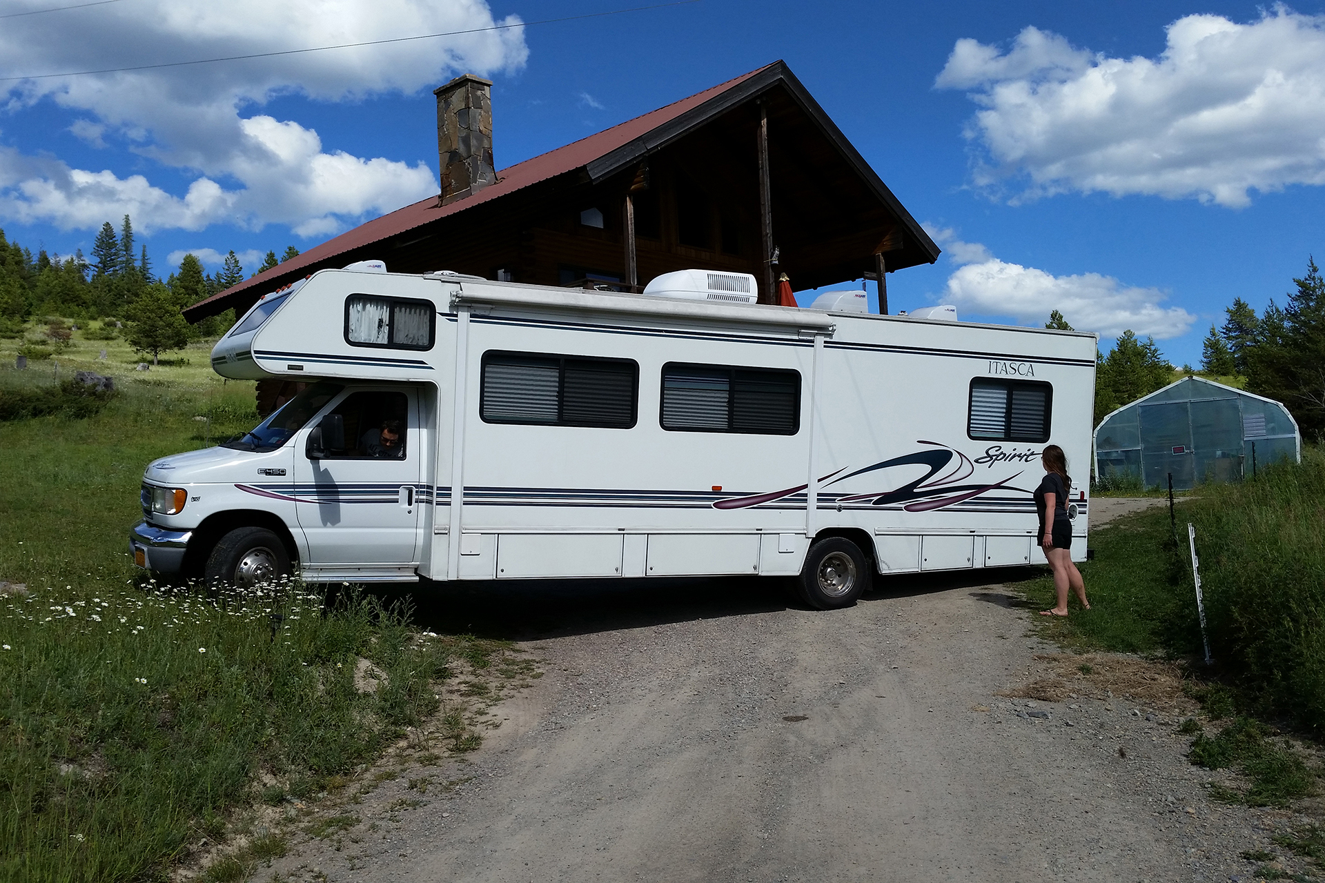
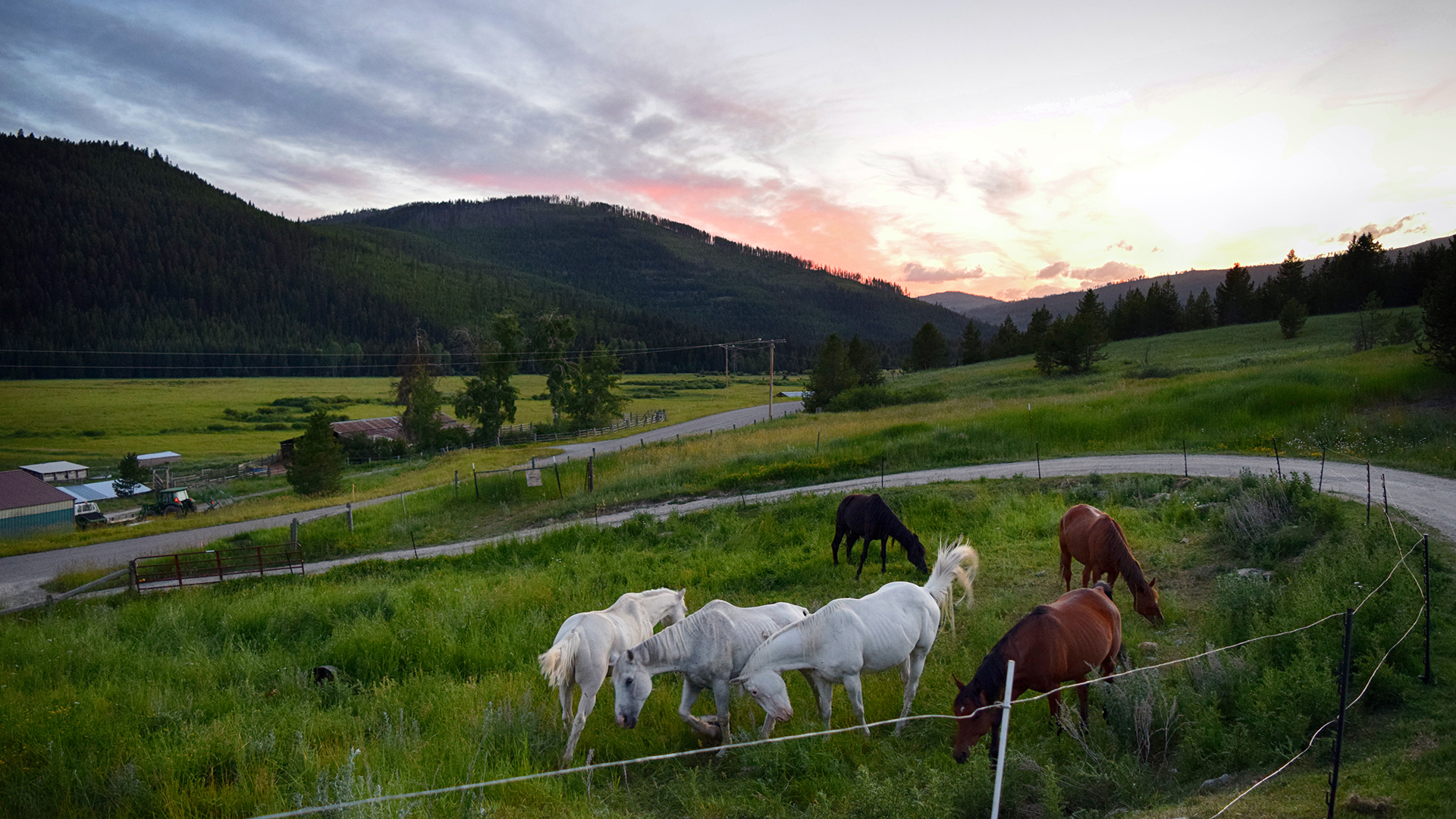
So we called an audible and headed down to the bright yellow at Longmont, Colorado, a little bit north of Denver (where we live now).  It is an area full of brand-new big box stores and strip malls, restaurants, breweries, and — glory of glories — a strong 4G Sprint signal.

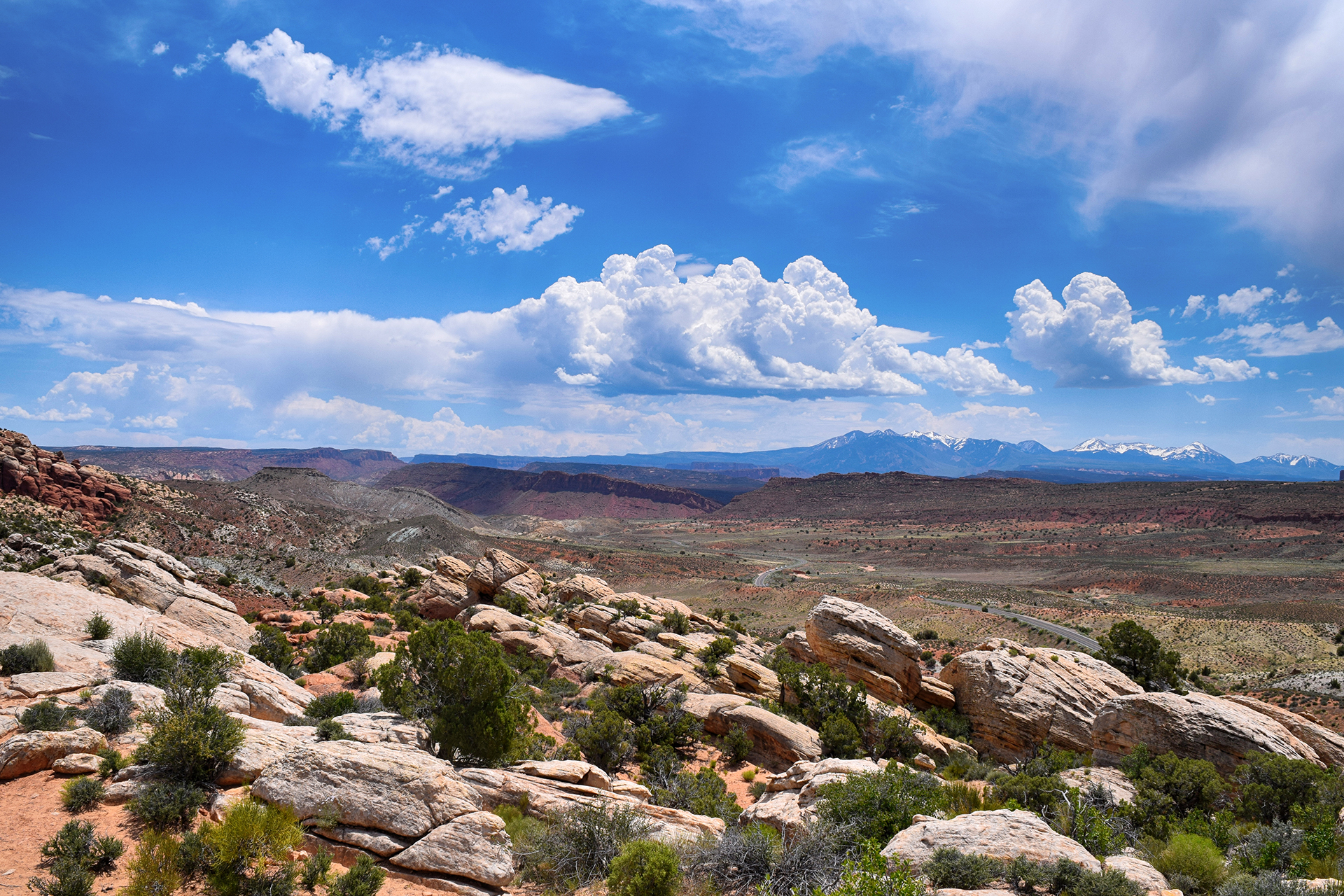
Not much to say about the drive there.  Wyoming is huge and empty, and although it can be beautiful, it is also very easy to drive through.  Then we hit Colorado, and suddenly – people!!  It’s an odd feeling to go from days of driving through nothing to gridlock all at once.

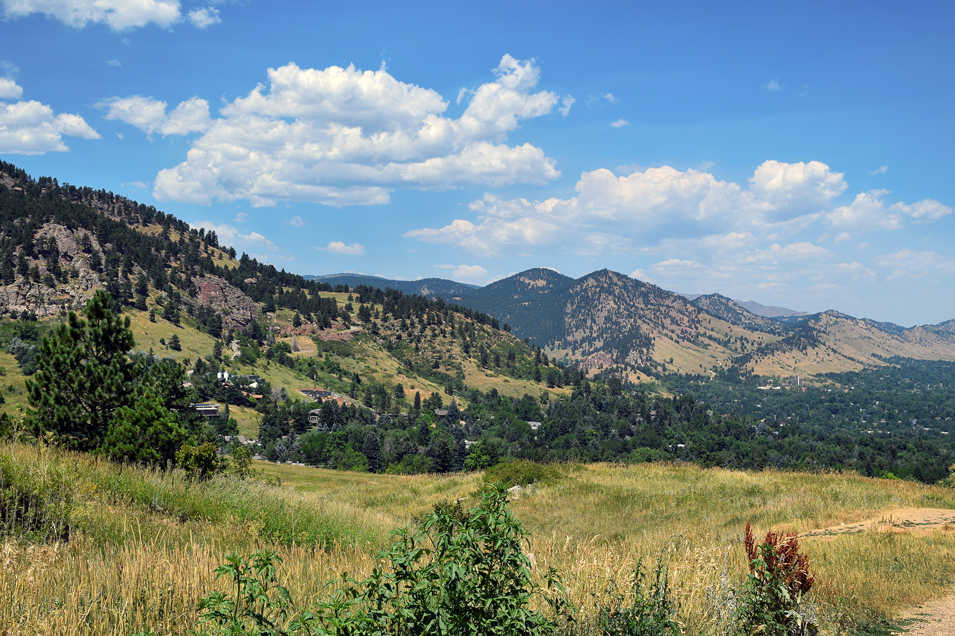
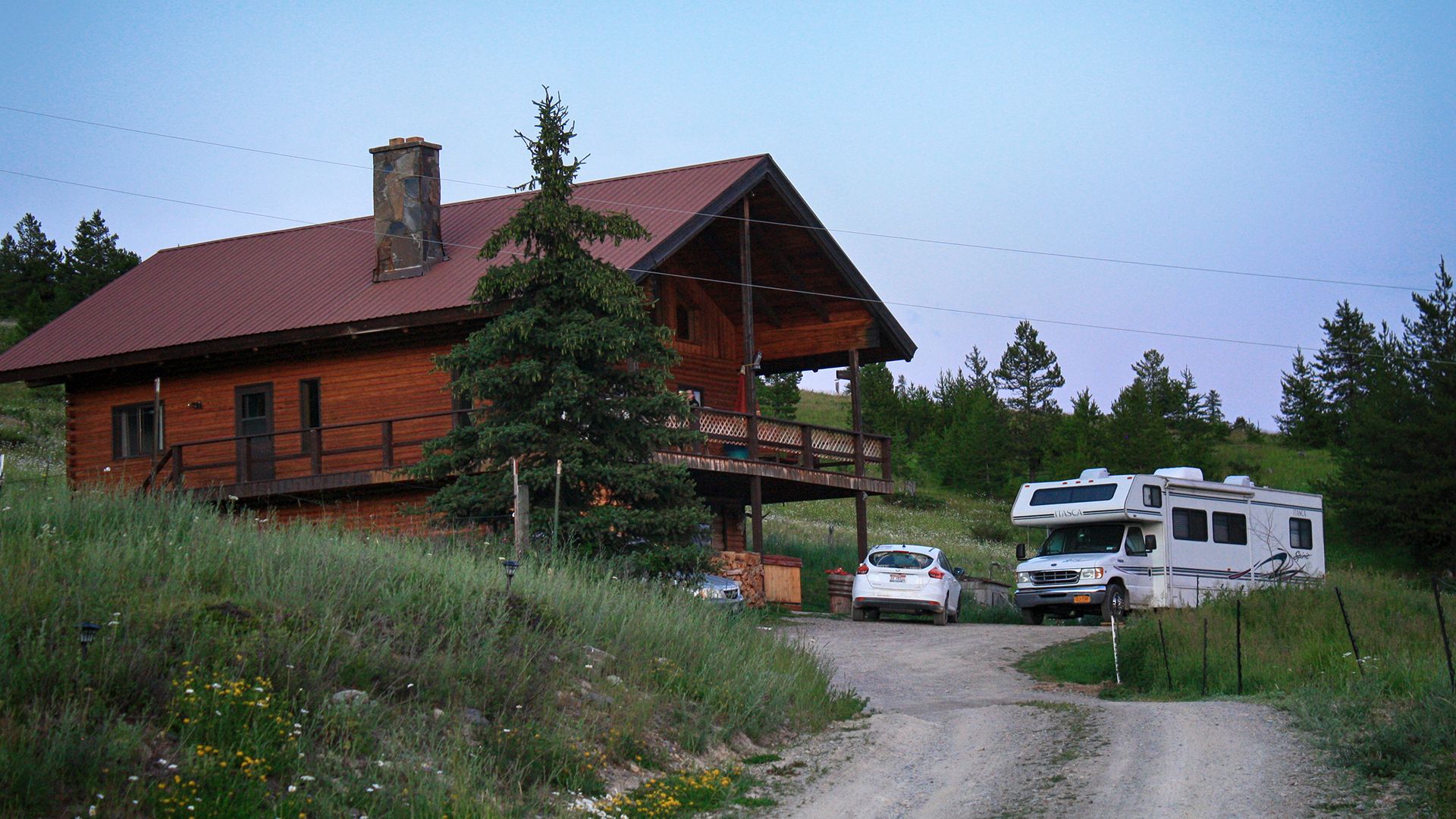
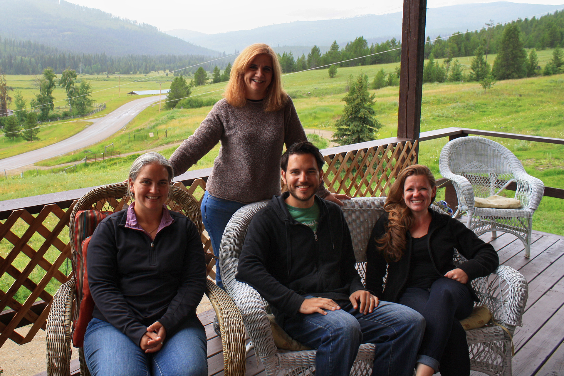
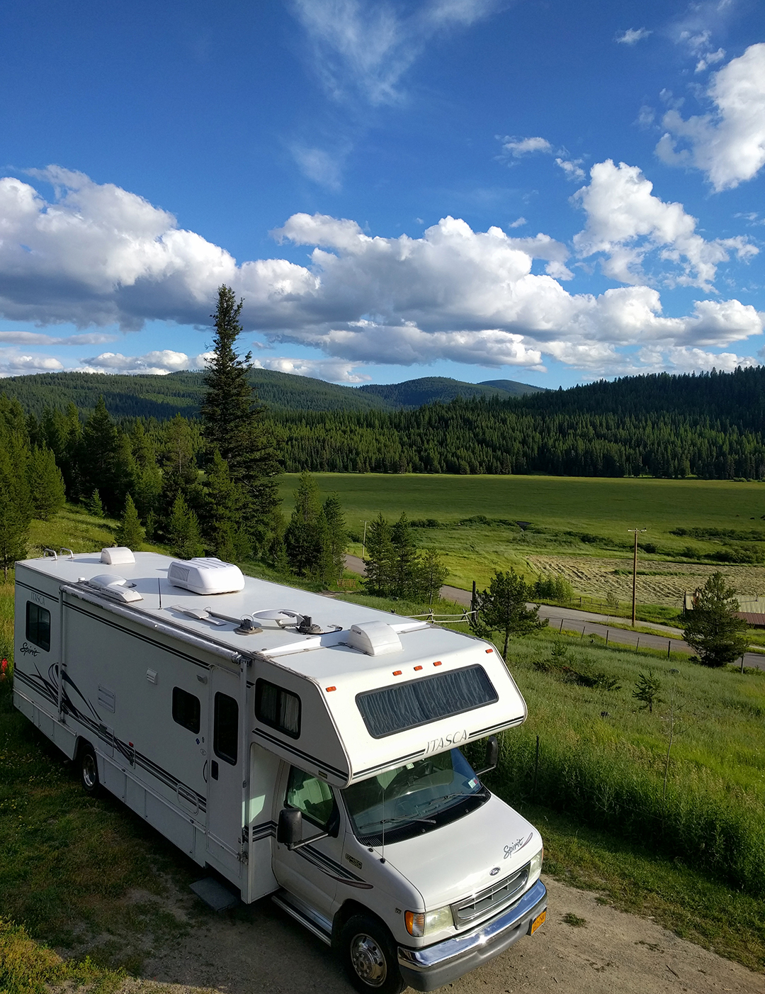
We stayed in Longmont’s county fairgrounds / RV park, which was both a good deal and the only open place to stay for about fifty miles.  It was a good spot to visit Jake’s sister Kate in Boulder, and also to explore Denver a little, since it was on our list of possible locations to move to.   And since we did pick Denver, we actually came back and lived at the fairgrounds for a while when we moved out to Colorado, several months later.

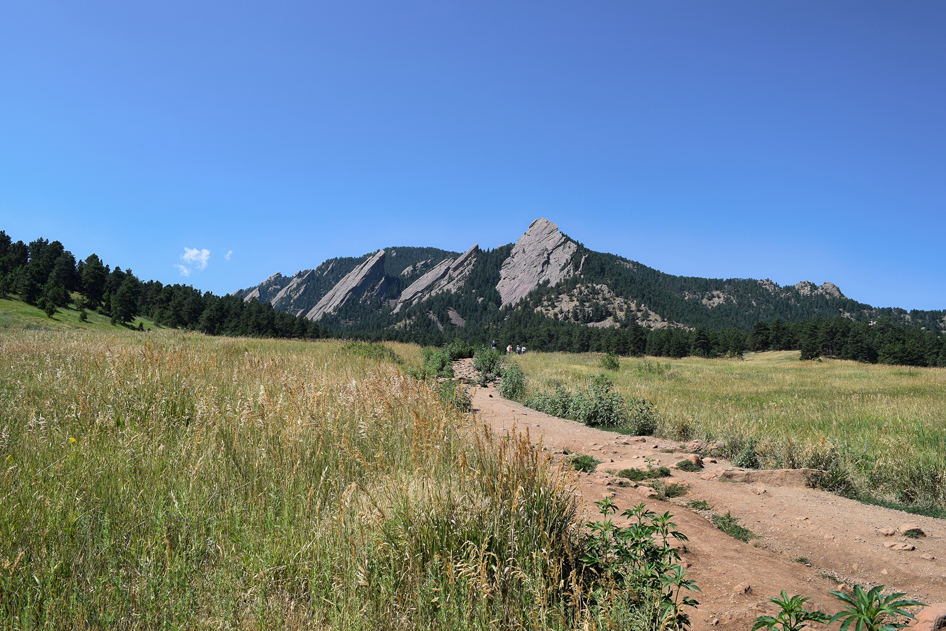
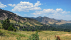
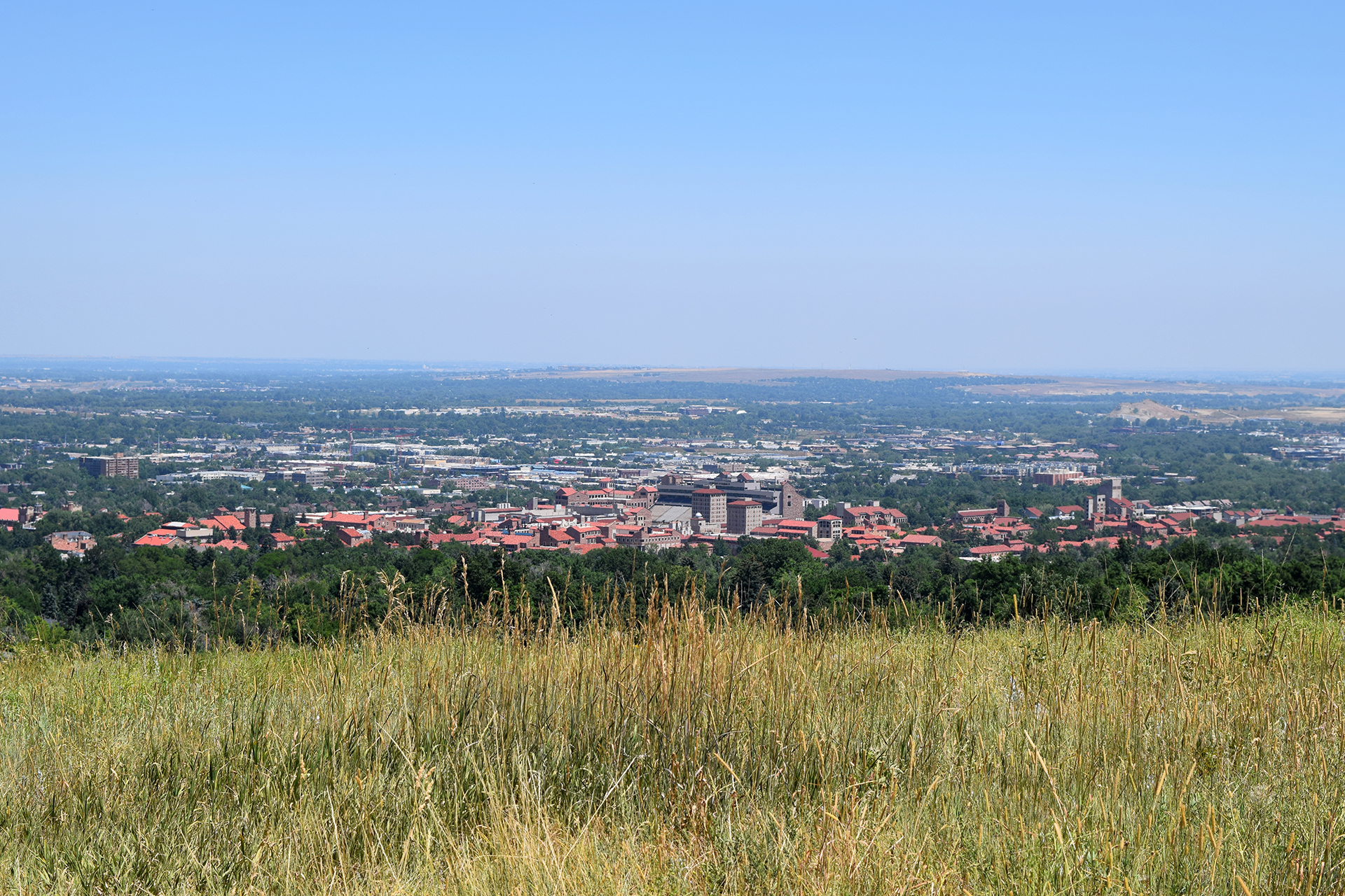
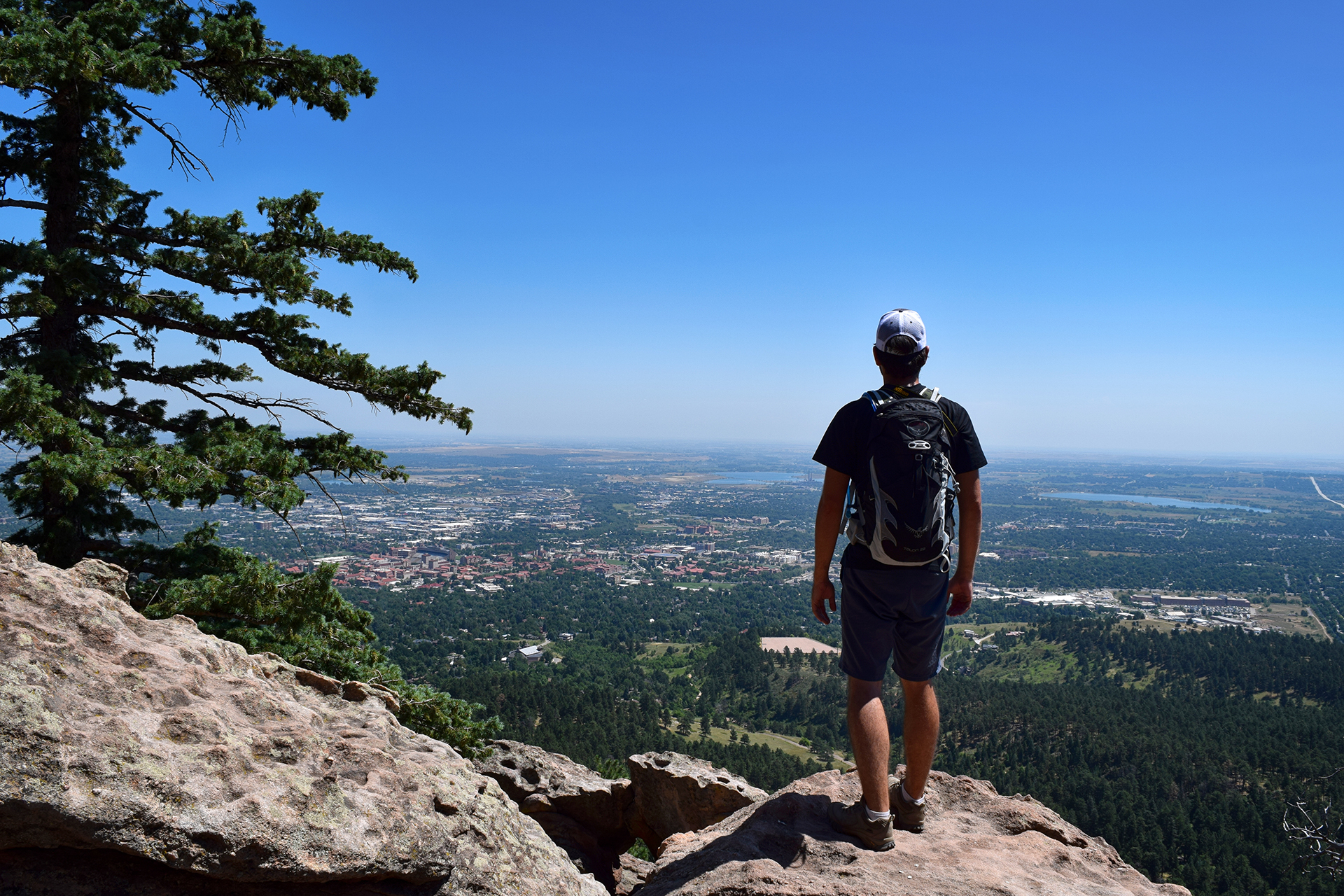
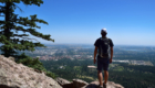
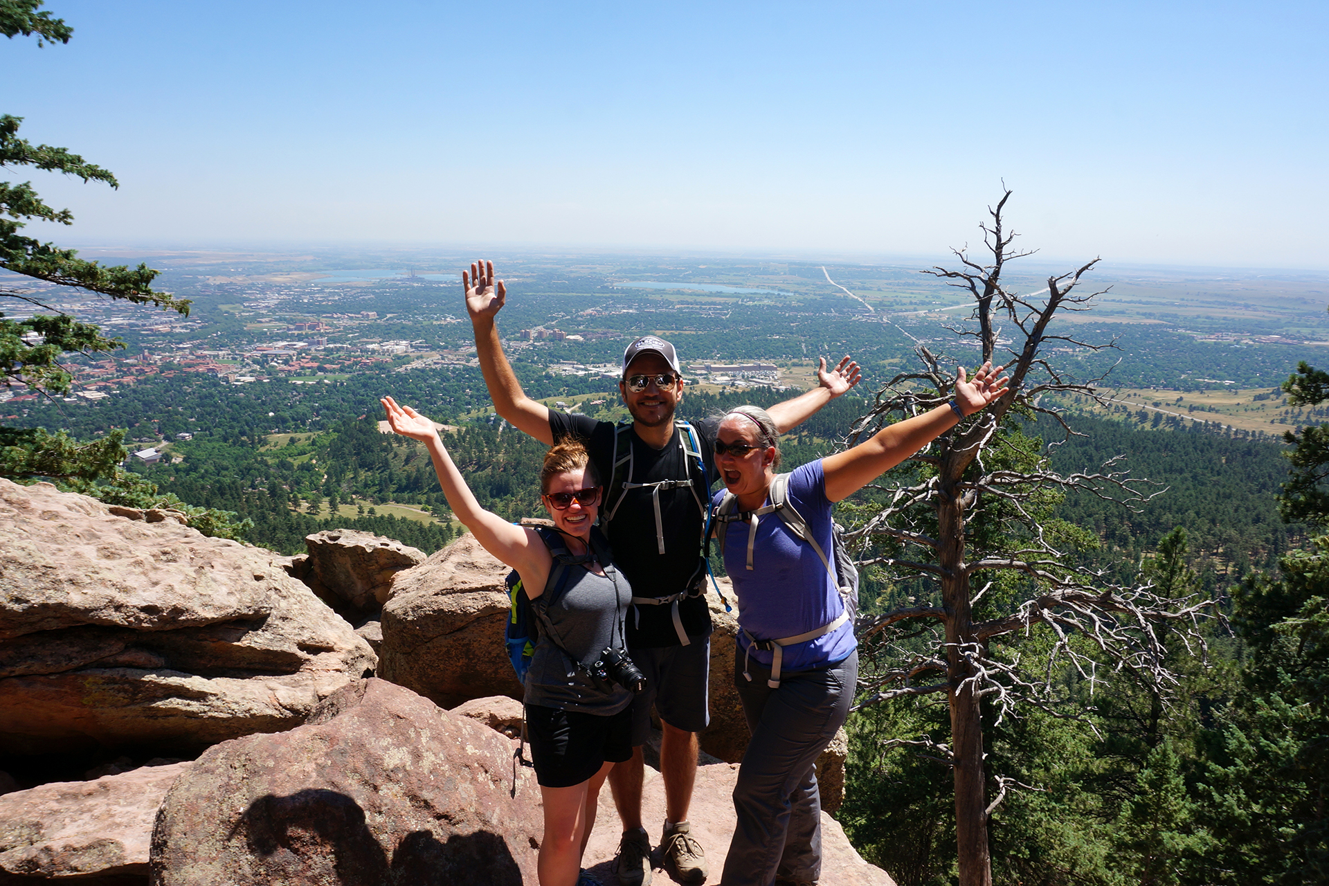
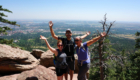
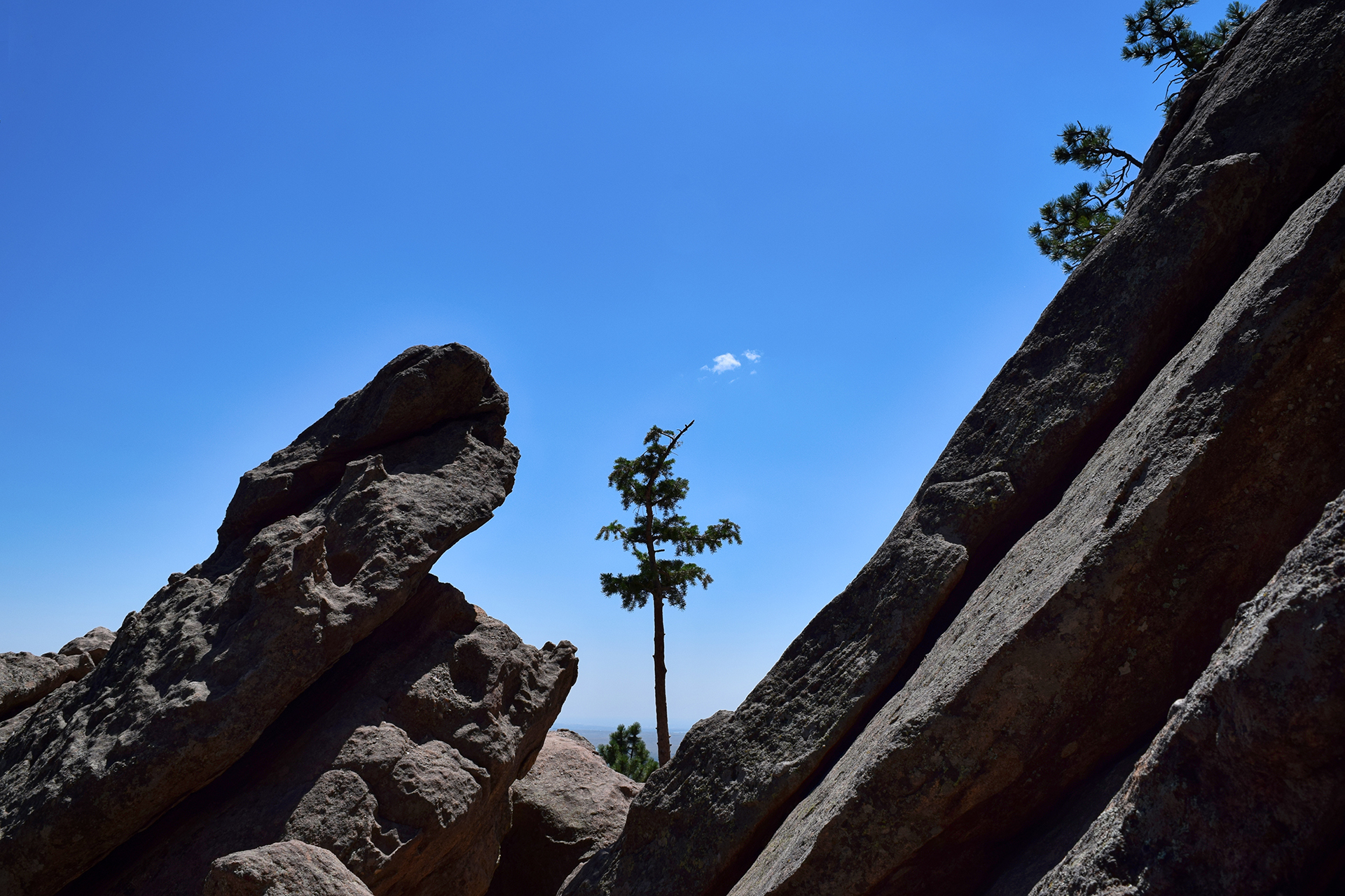
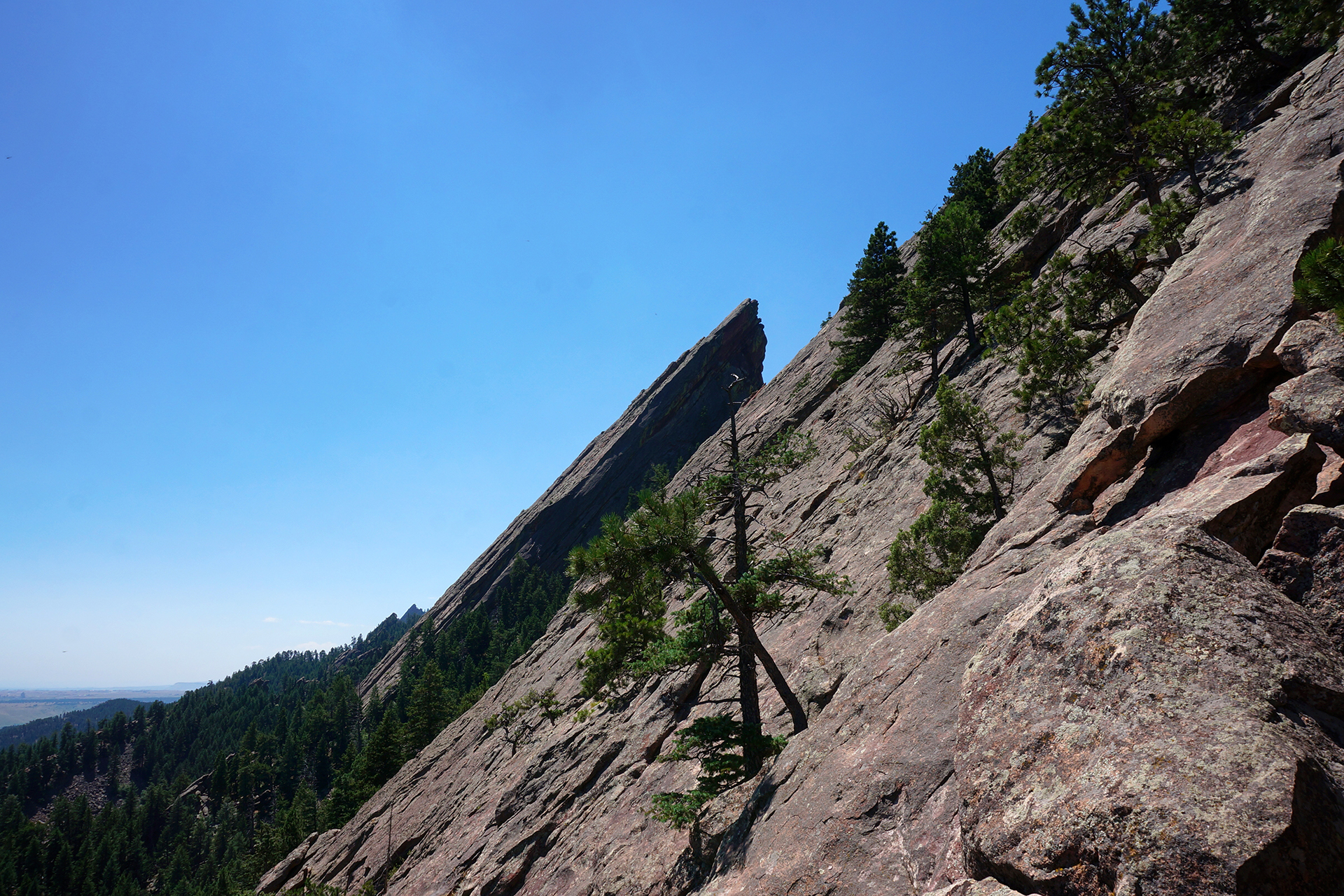
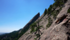
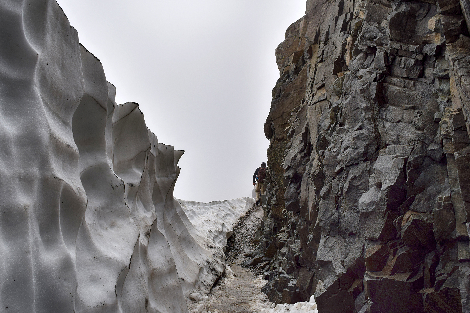
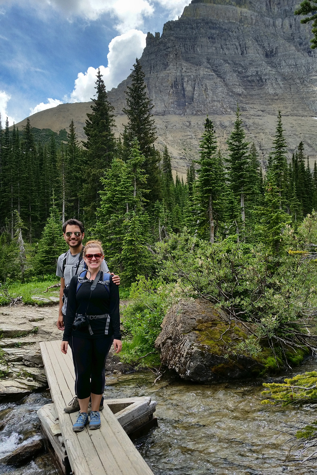
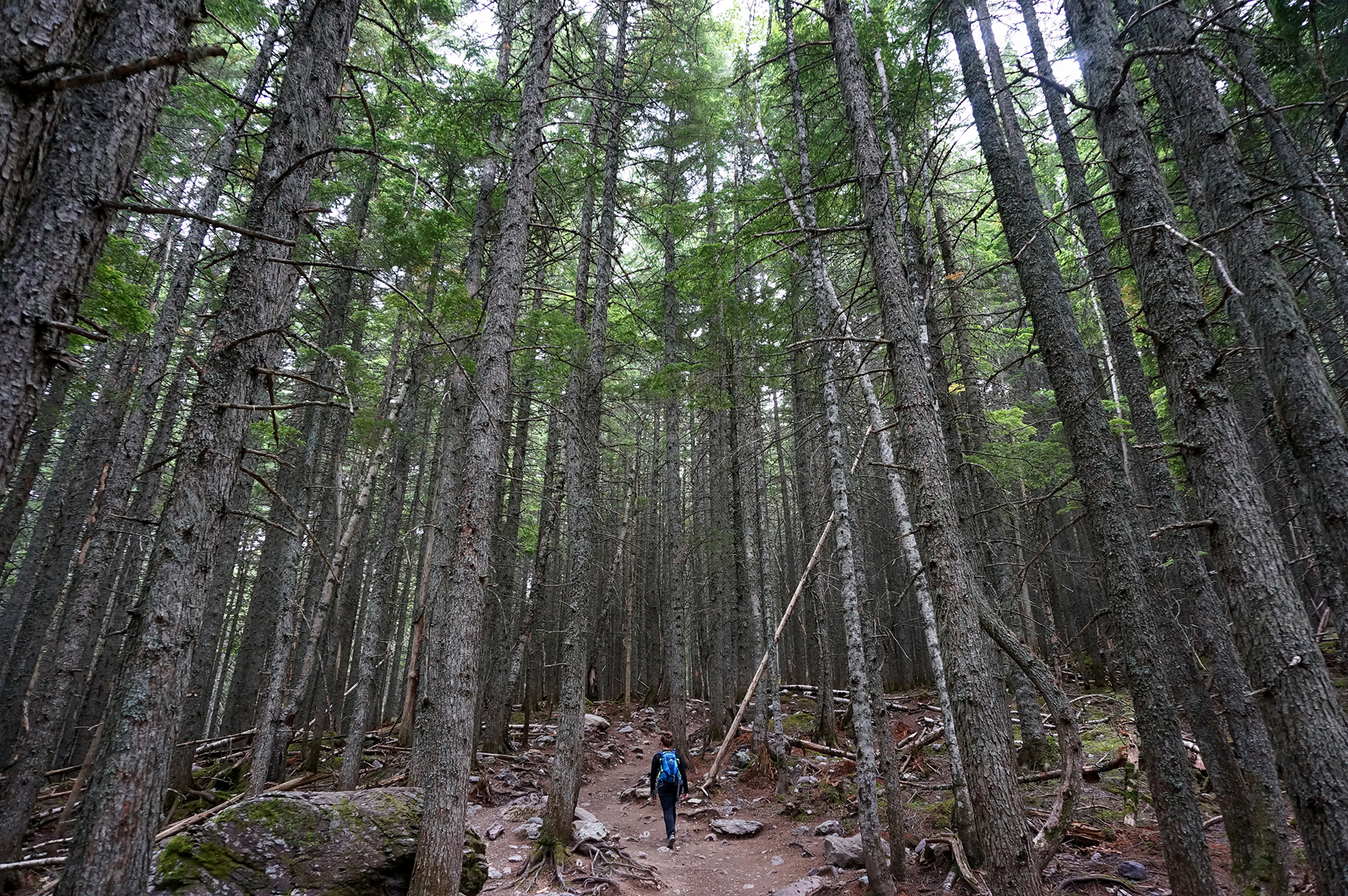
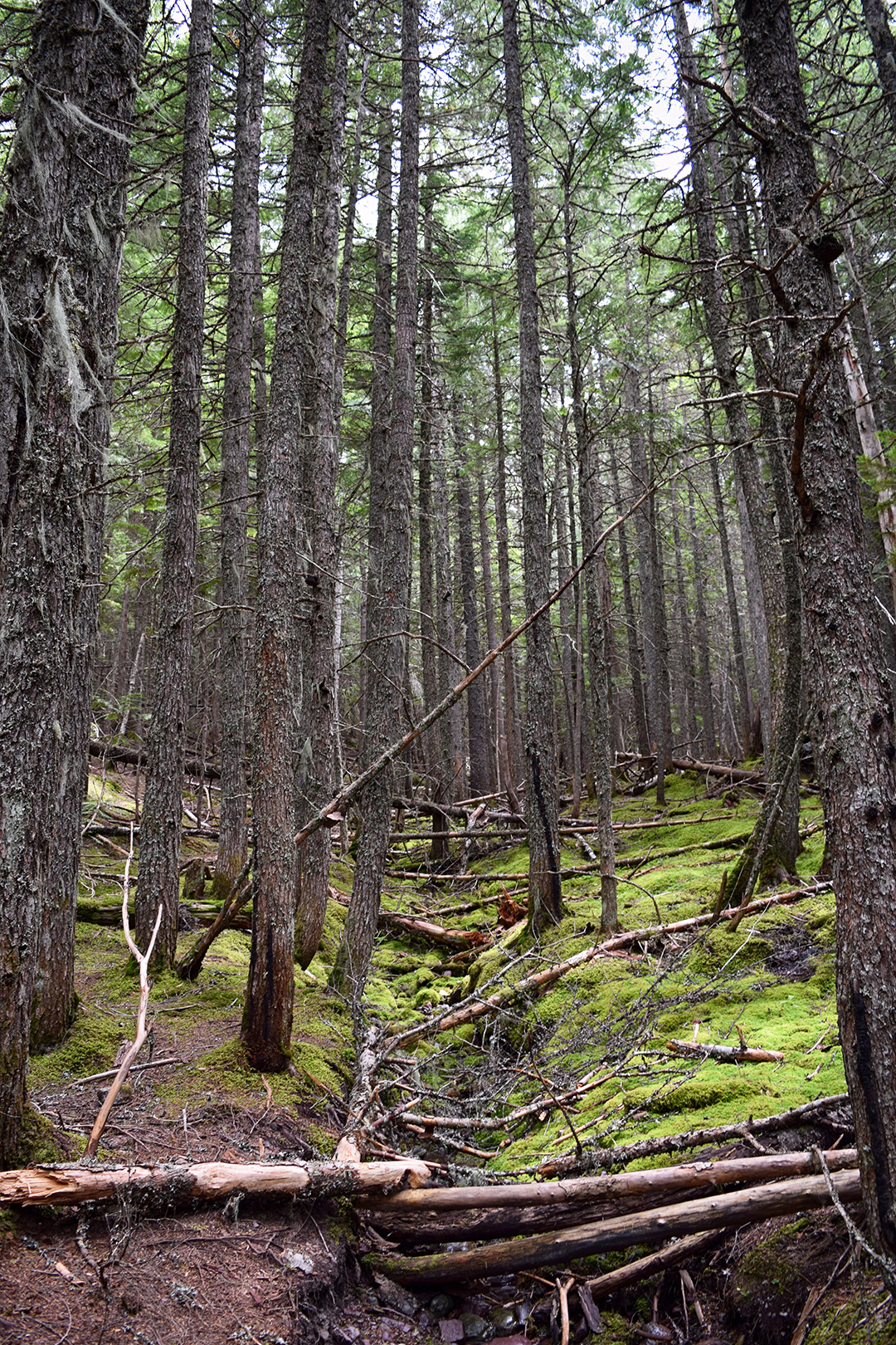
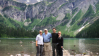
It was a pretty great time.  We hiked up the Flatirons, a famous set of vertical plate-like mountains near Boulder.

We hung out at a heavy metal-themed brewery, which was exactly as weird and awesome as it sounds, then caught a Rockies game at Coors Field.

We also caught a show at the iconic Red Rocks amphitheater.  They have movie nights during the summer, and we saw Labyrinth.  You know, that 80s one with David Bowie?  It’s a very strange movie, but Red Rocks is a pretty amazing place to see it.

Plus:  there was a whole David Bowie tribute band competition thing!

Mistakes Were Made

A few days after getting to Colorado, we decided to do what Colorado is famous for:  get high!

Yes, we climbed a so-called “14er” – a 14,000 foot peak – with Kate.  What did you think we meant?

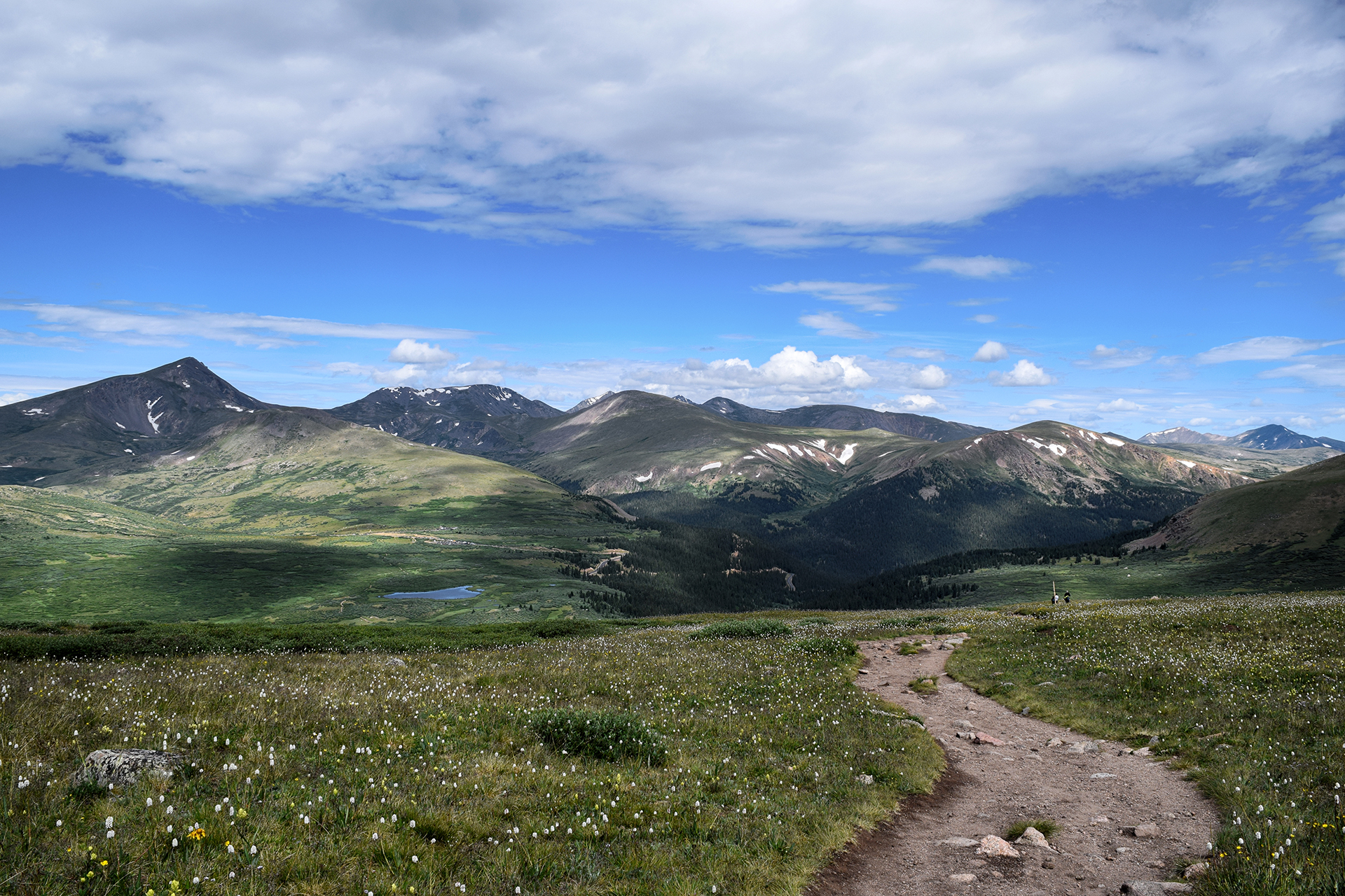
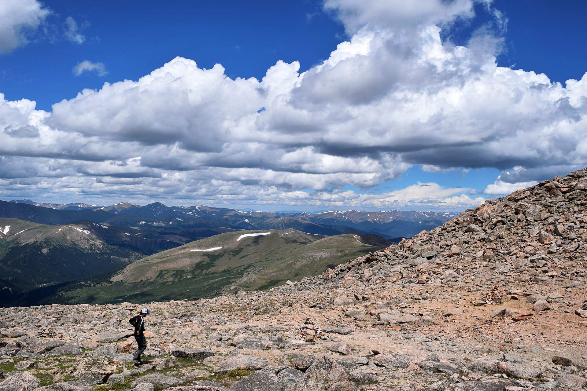
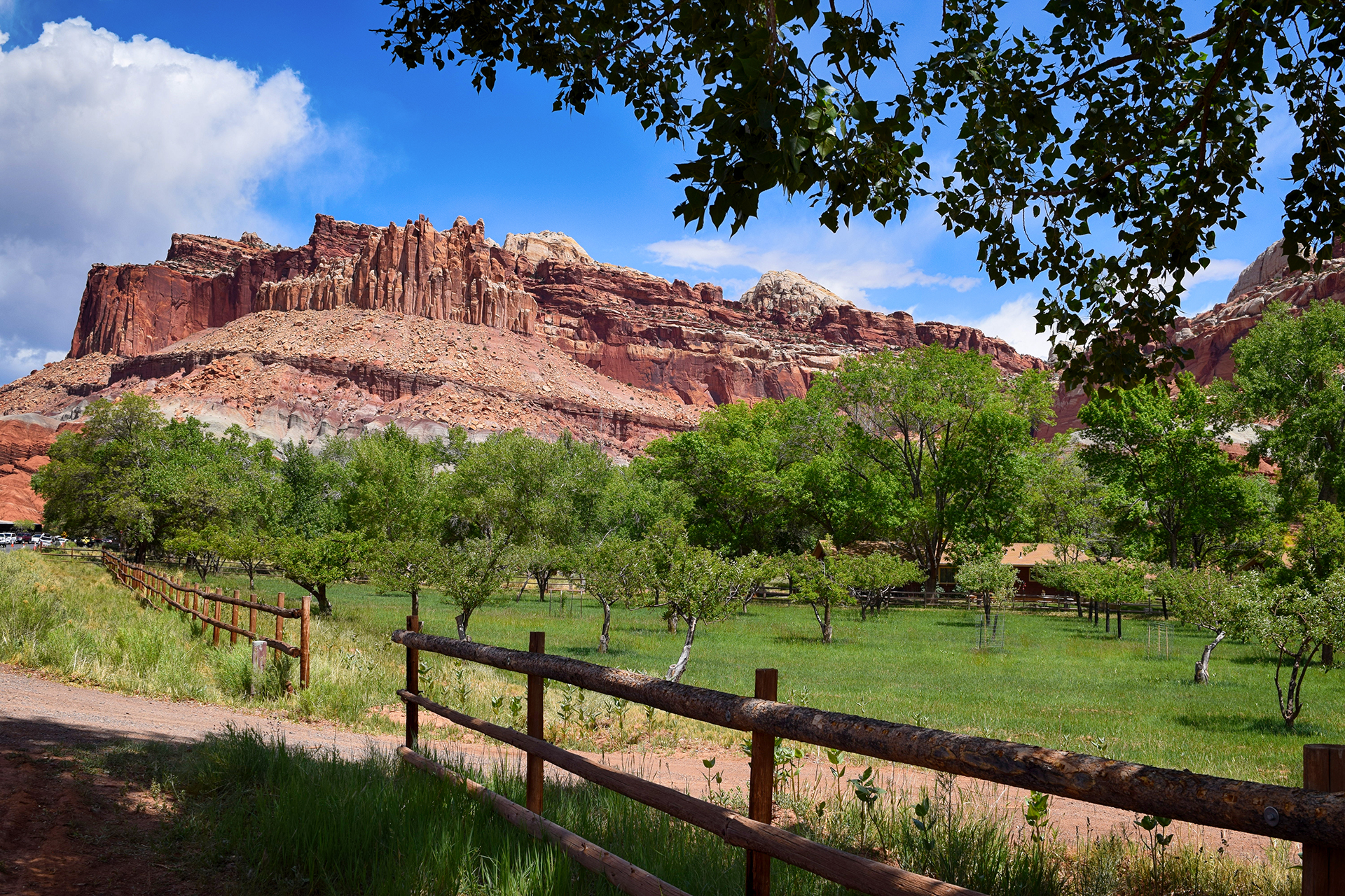
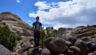
It’s not quite as crazy as it sounds – the trailhead starts at around 11,000 feet.  Still, it is high, and both Fischers have had issues with elevation in the past.  We chose Mt. Bierstadt, a “beginner” 14er.

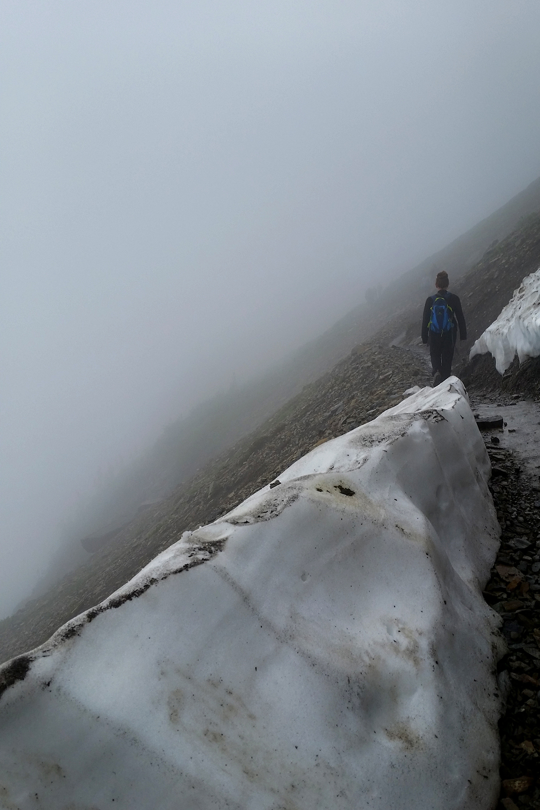
First note: we got there way too late.  It was almost two hours to get to the trailhead, and we didn’t make it until about 9 a.m.  Getting there early is important because the mountains in Colorado are notorious for afternoon thunderstorms.

Second note: it was a pretty hike.  Very pretty.  And not too steep!

Third note:  Oh god, the elevation!  Heather was relatively unaffected.  For Jake and Kate, every step was basically exhausting… and there were a lot of steps.

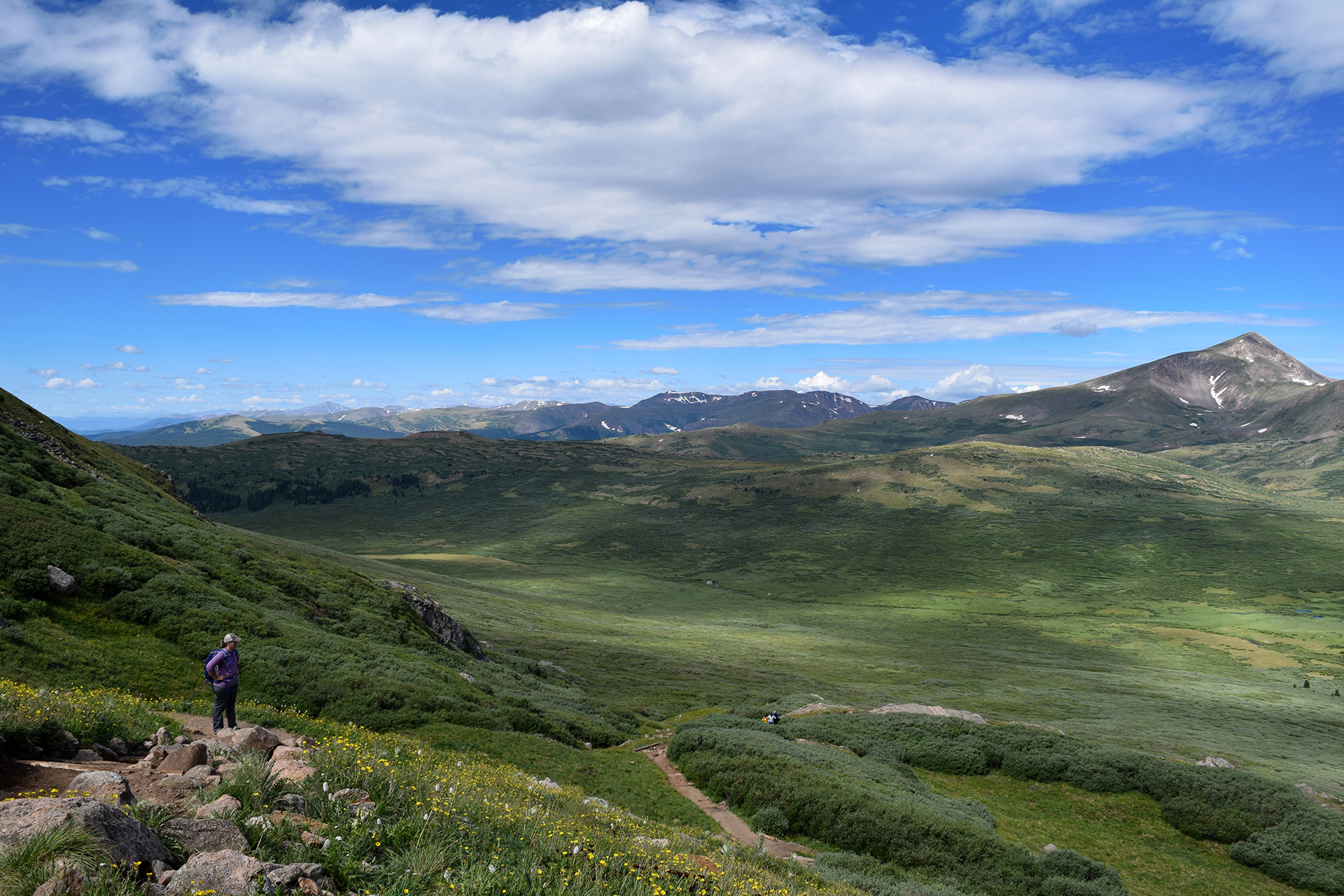
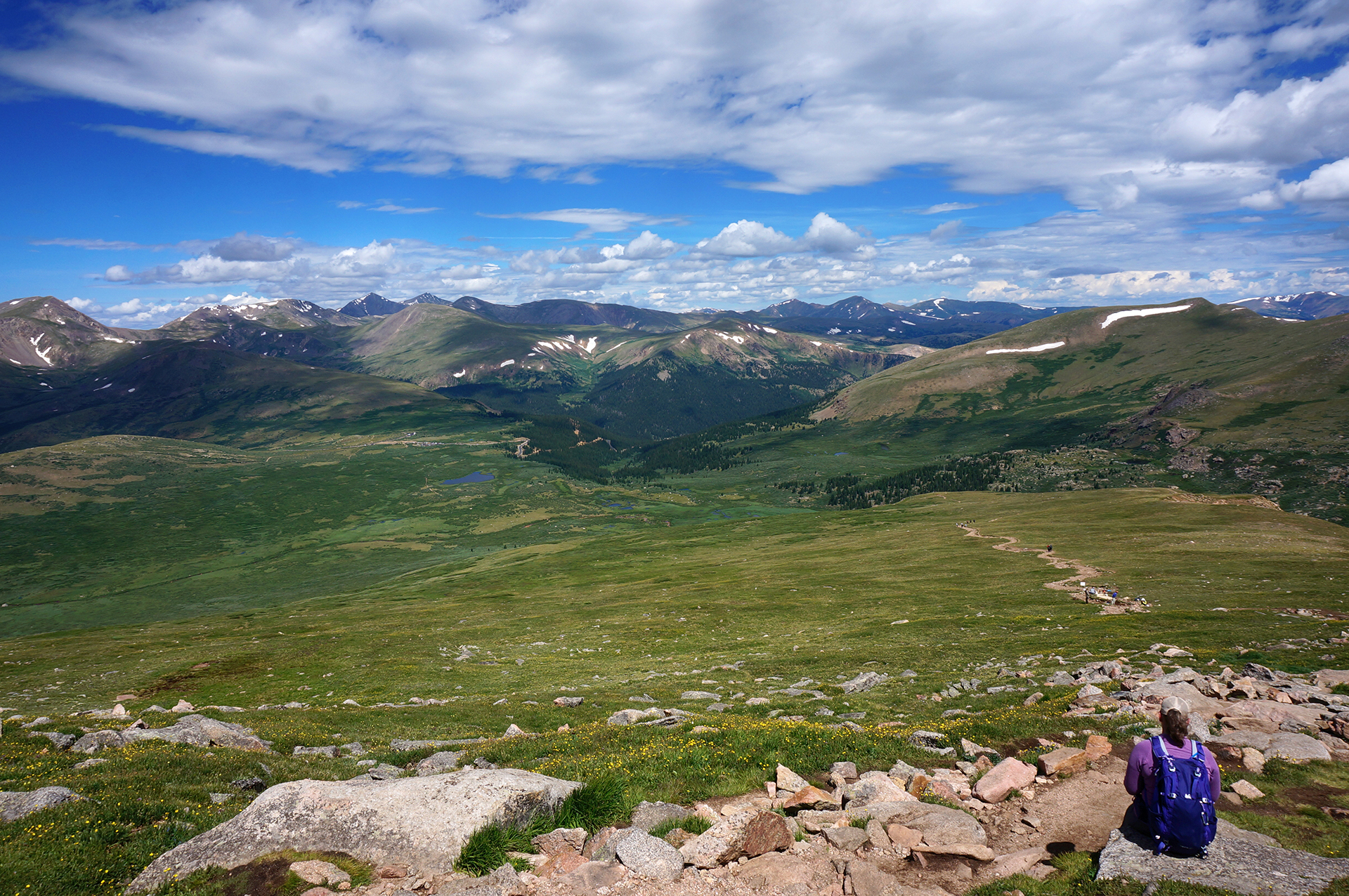
Taking frequent breaks, we slooooooooowly made our way to the top.  Halfway up, college-age workers were repairing the trail, moving heavy stones with ease while we quietly panted.  Occasionally, someone wearing Lycra would run past us, sprinting up the trail without seeming to sweat.

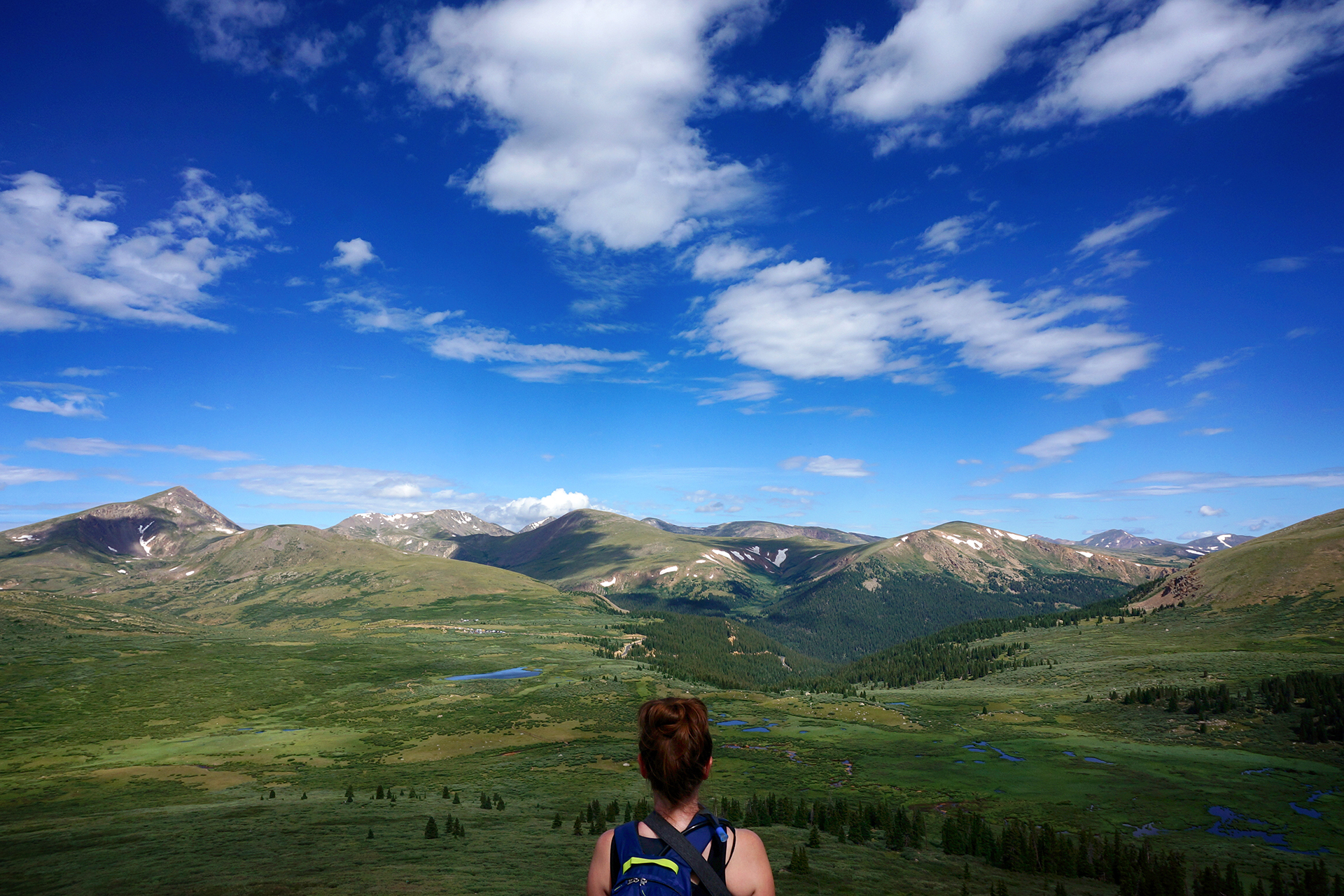
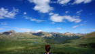
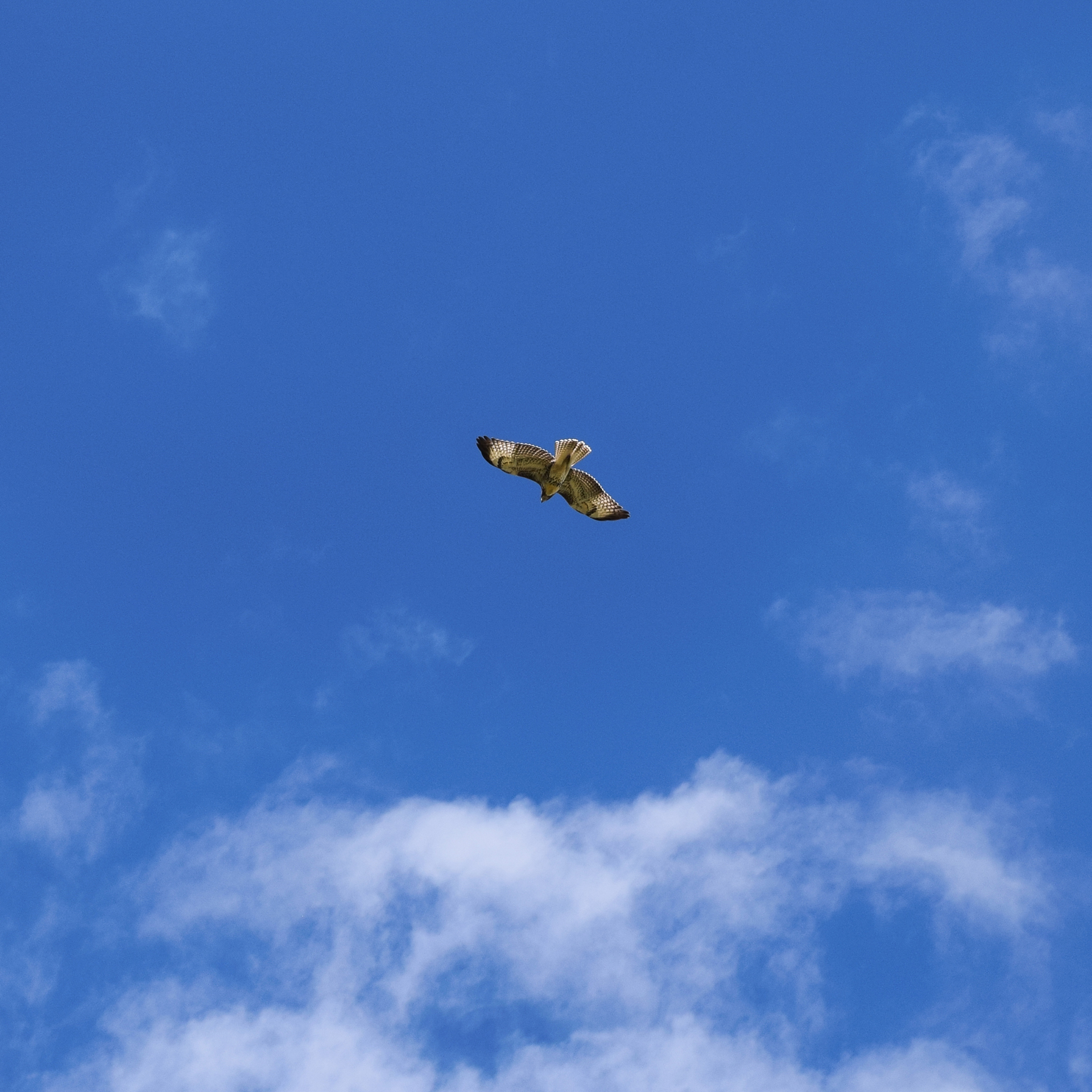
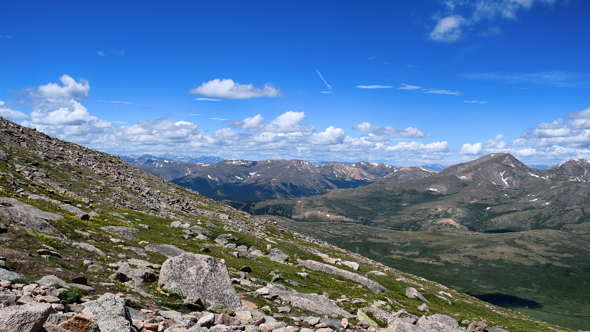
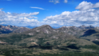
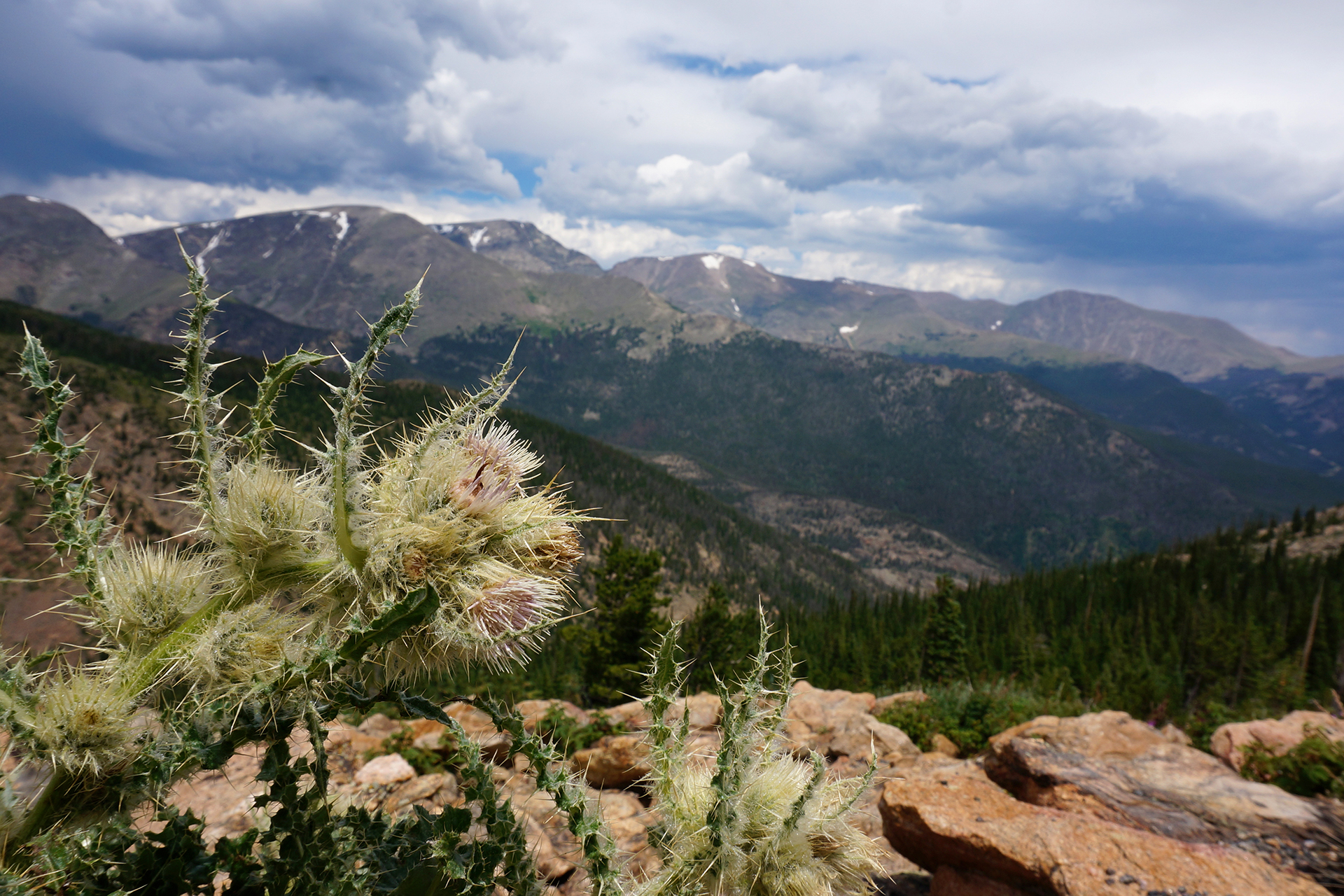
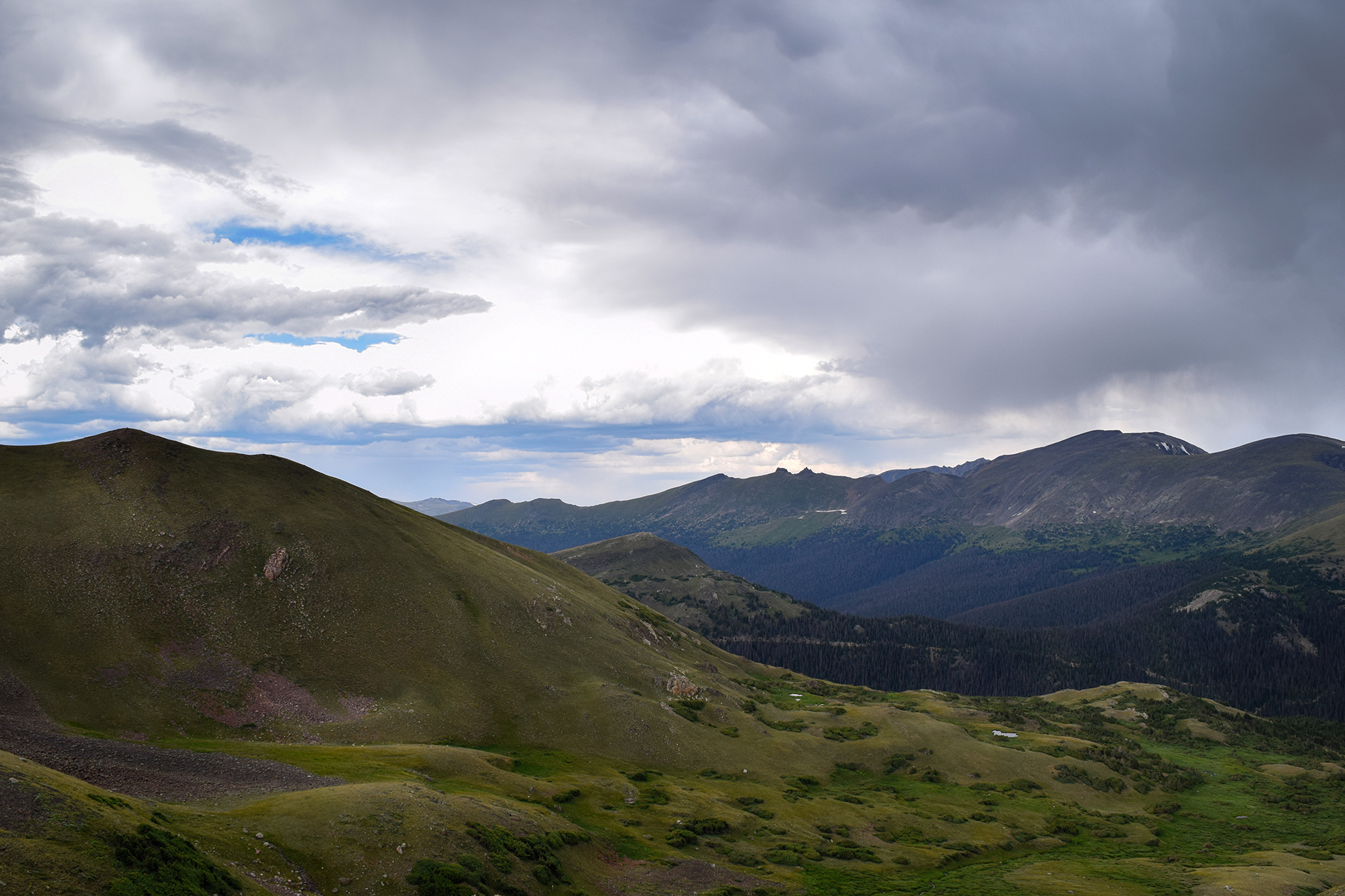
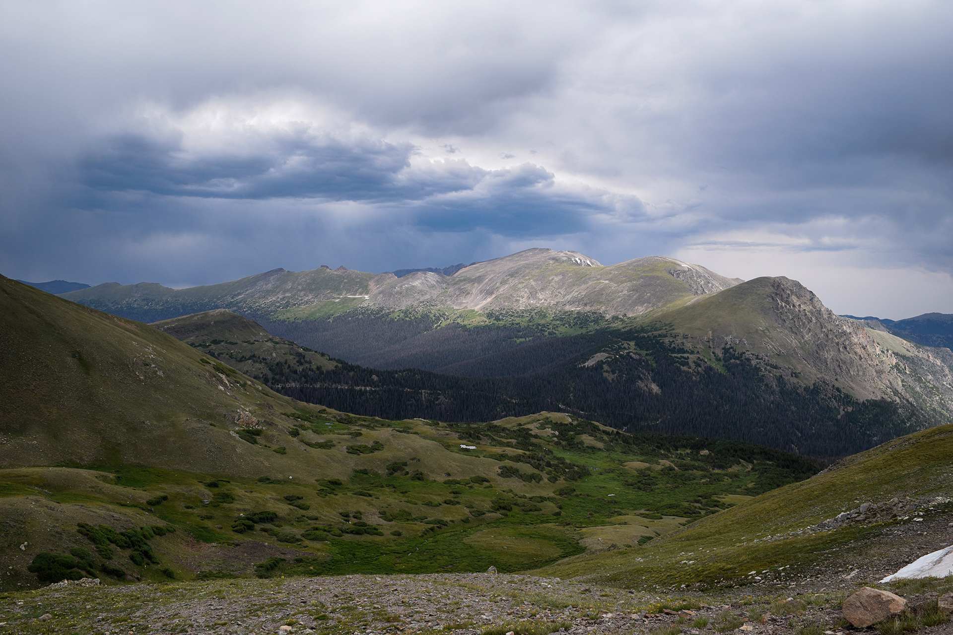
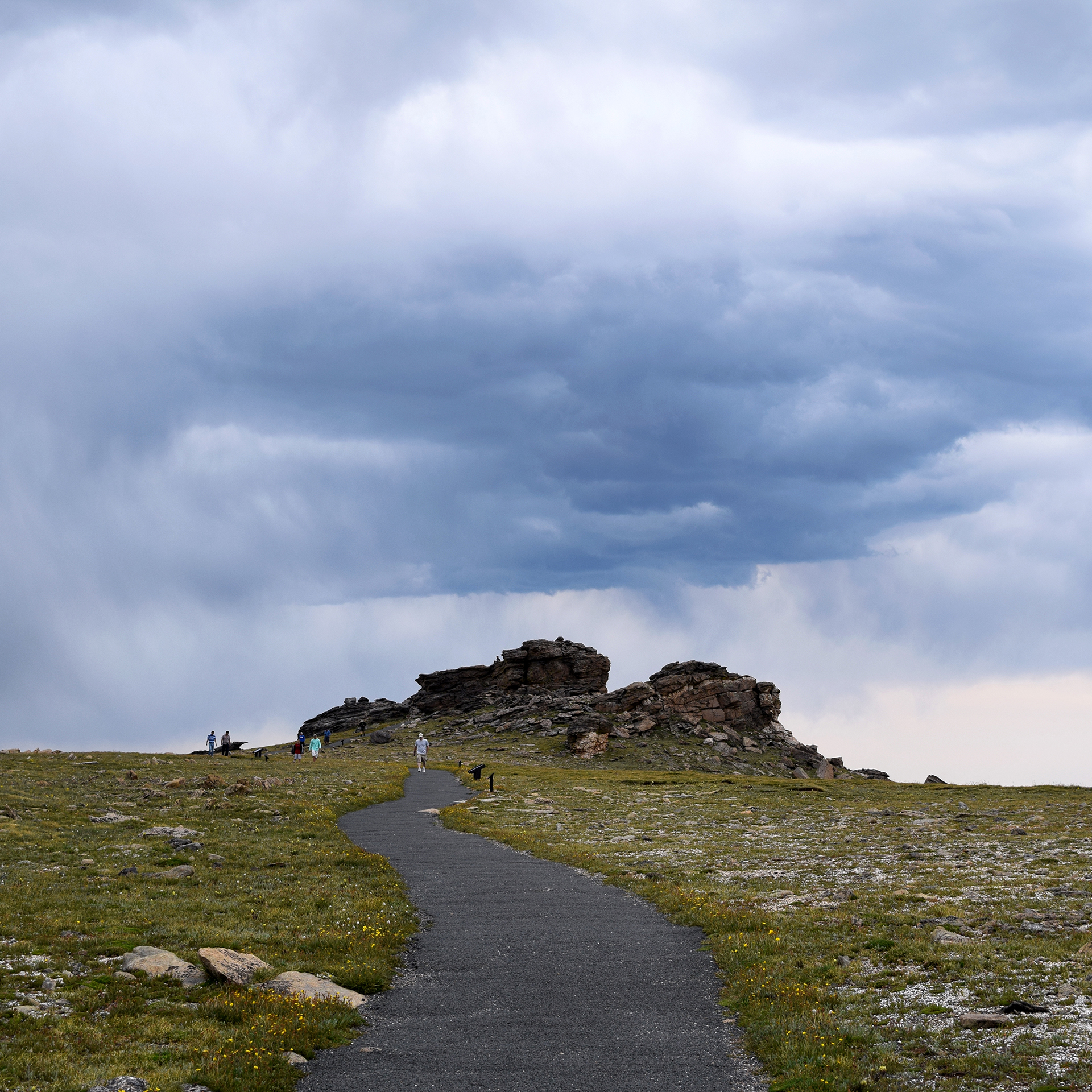
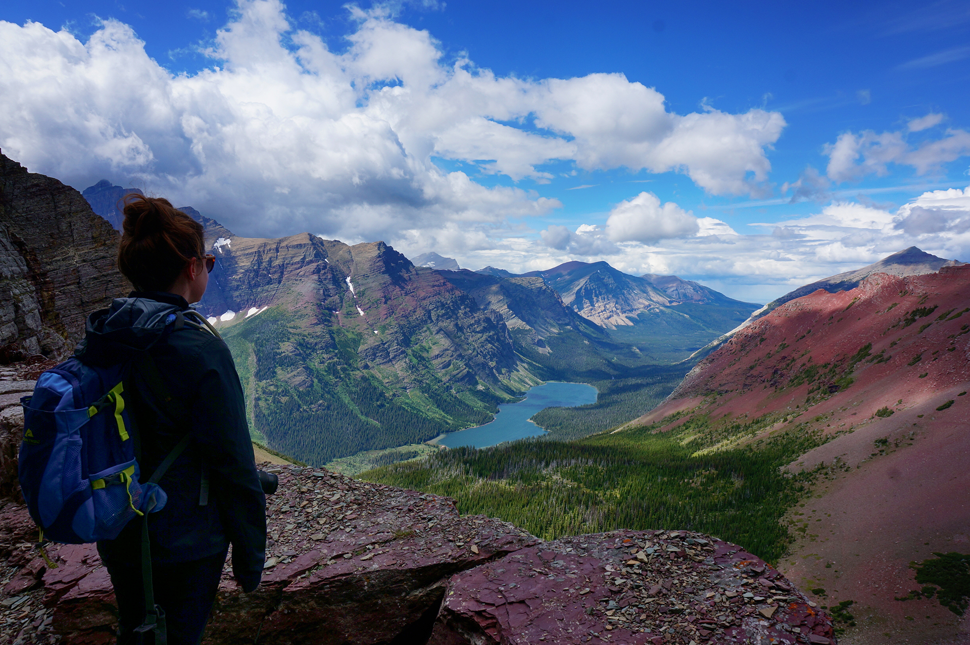
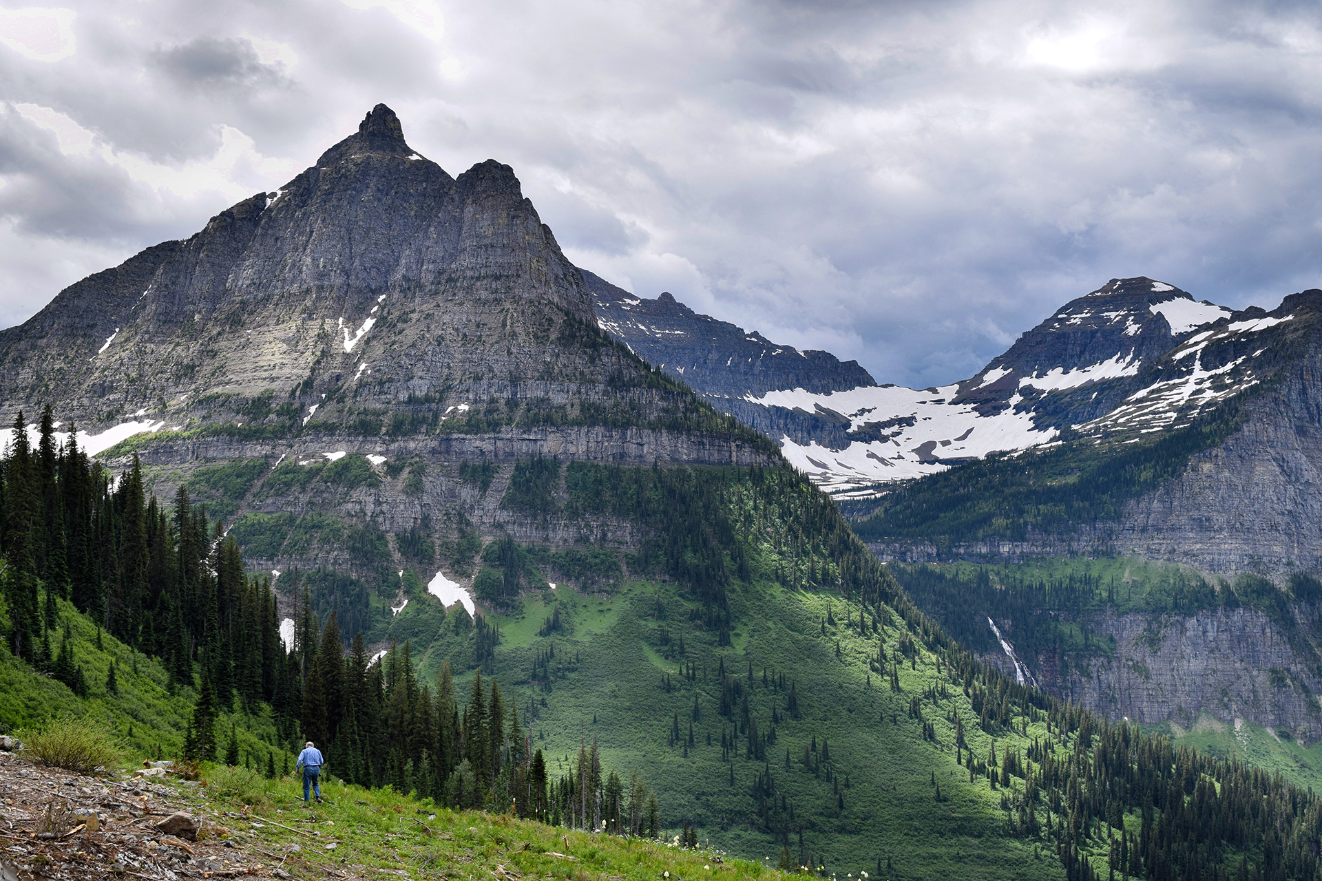
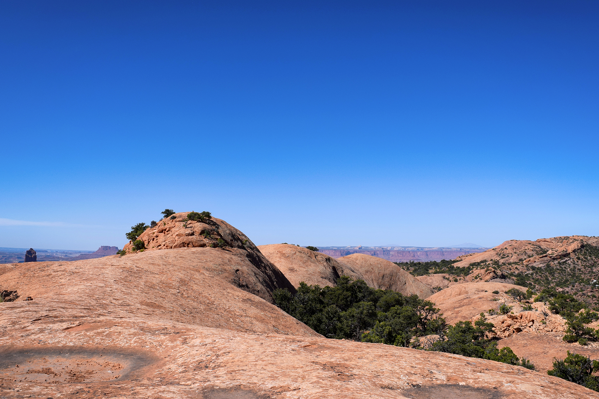
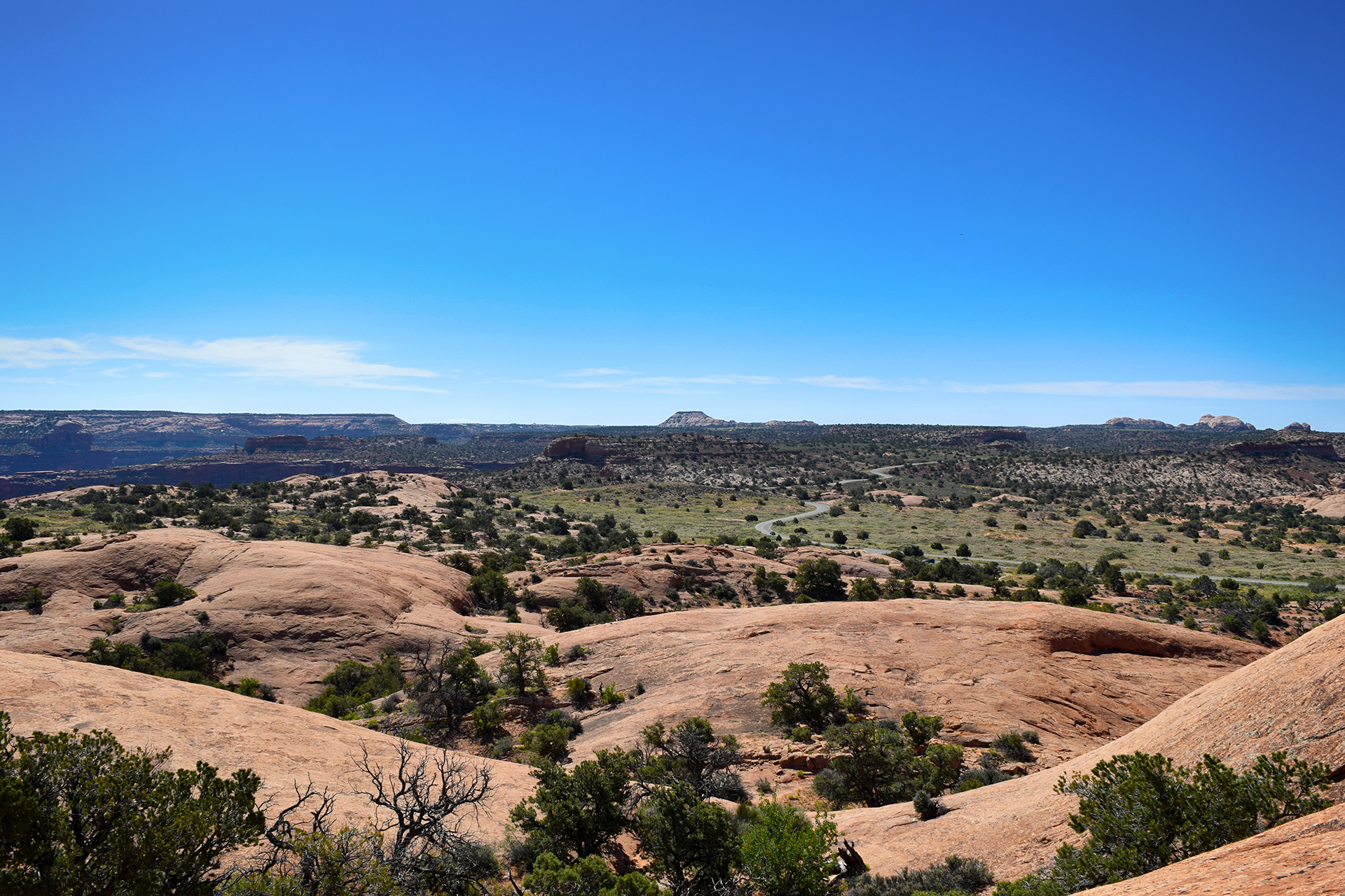
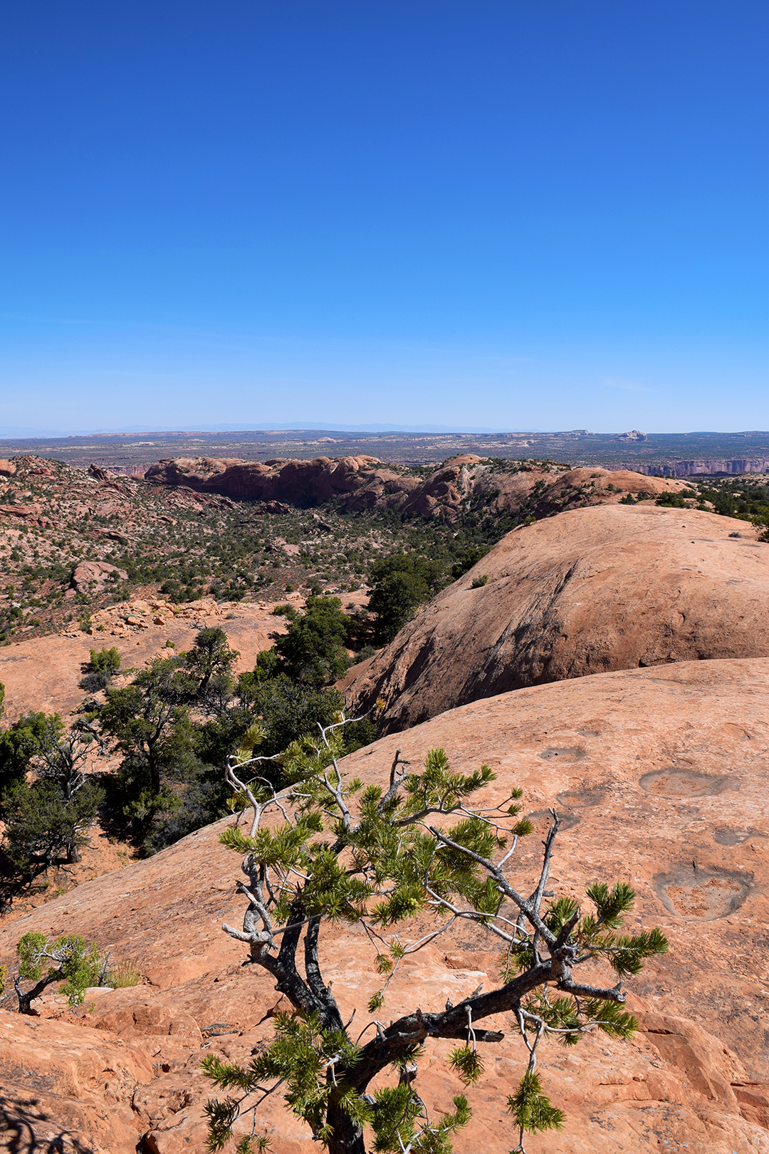
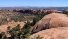
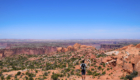
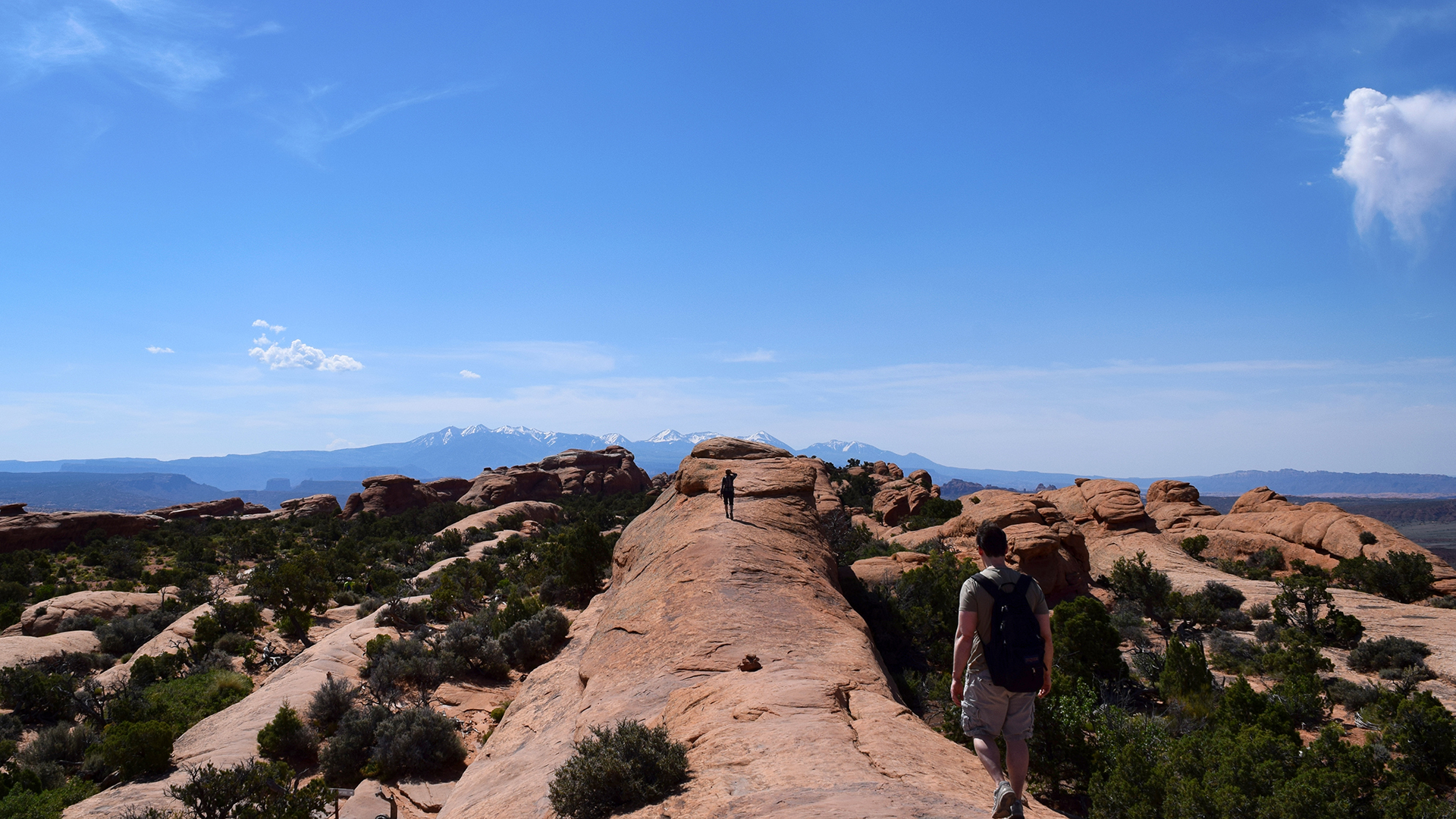
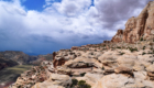
We finally made it to the top around noon.  No problem – the clouds were all fluffy and white.  We rested, ate some lunch, and took a few photos of the awesome landscape.

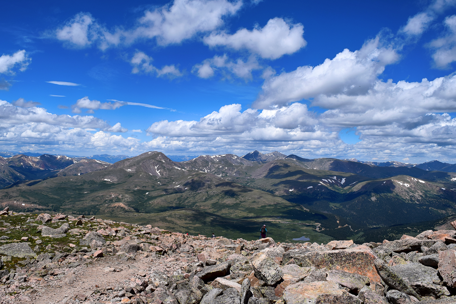
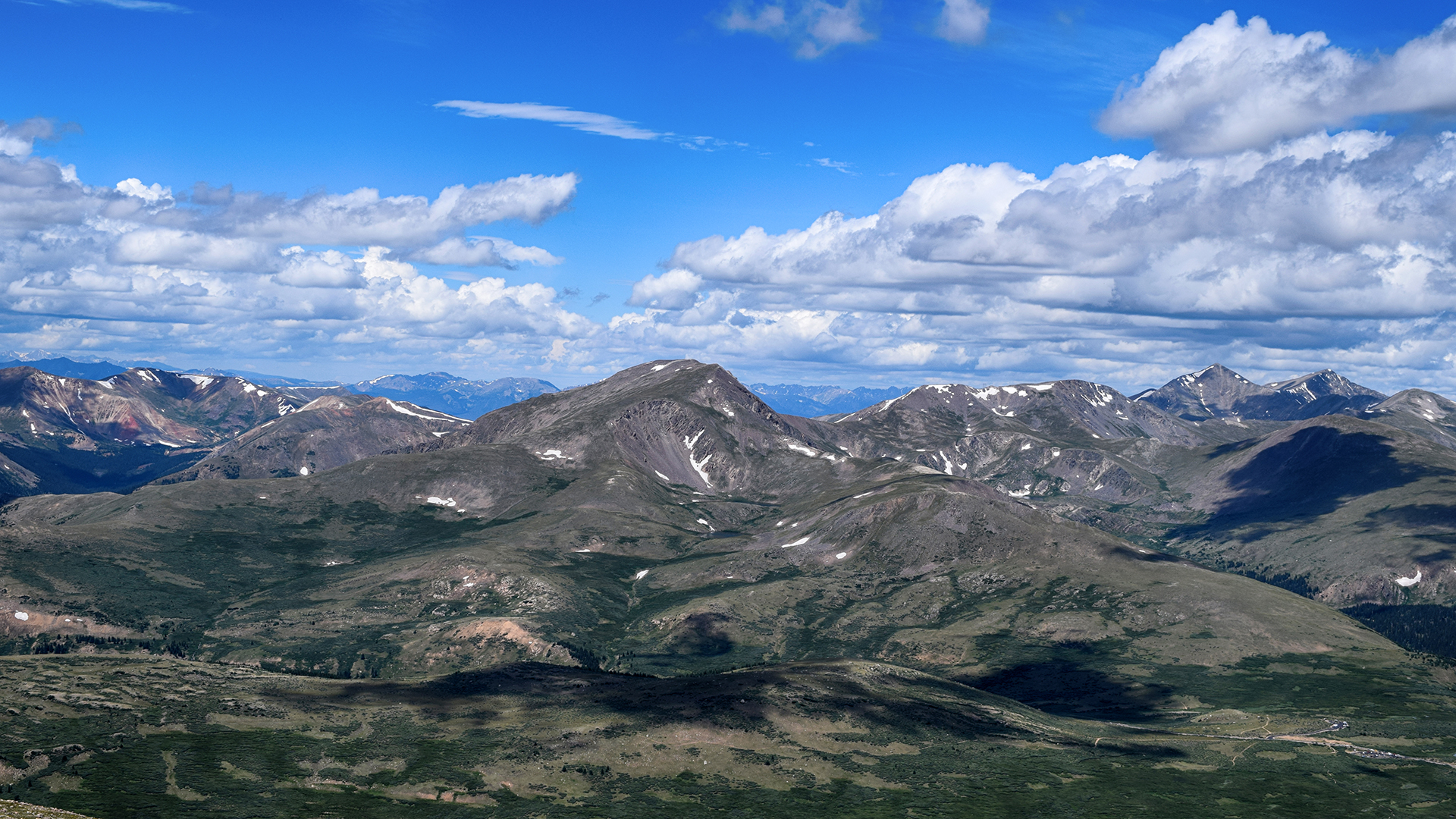
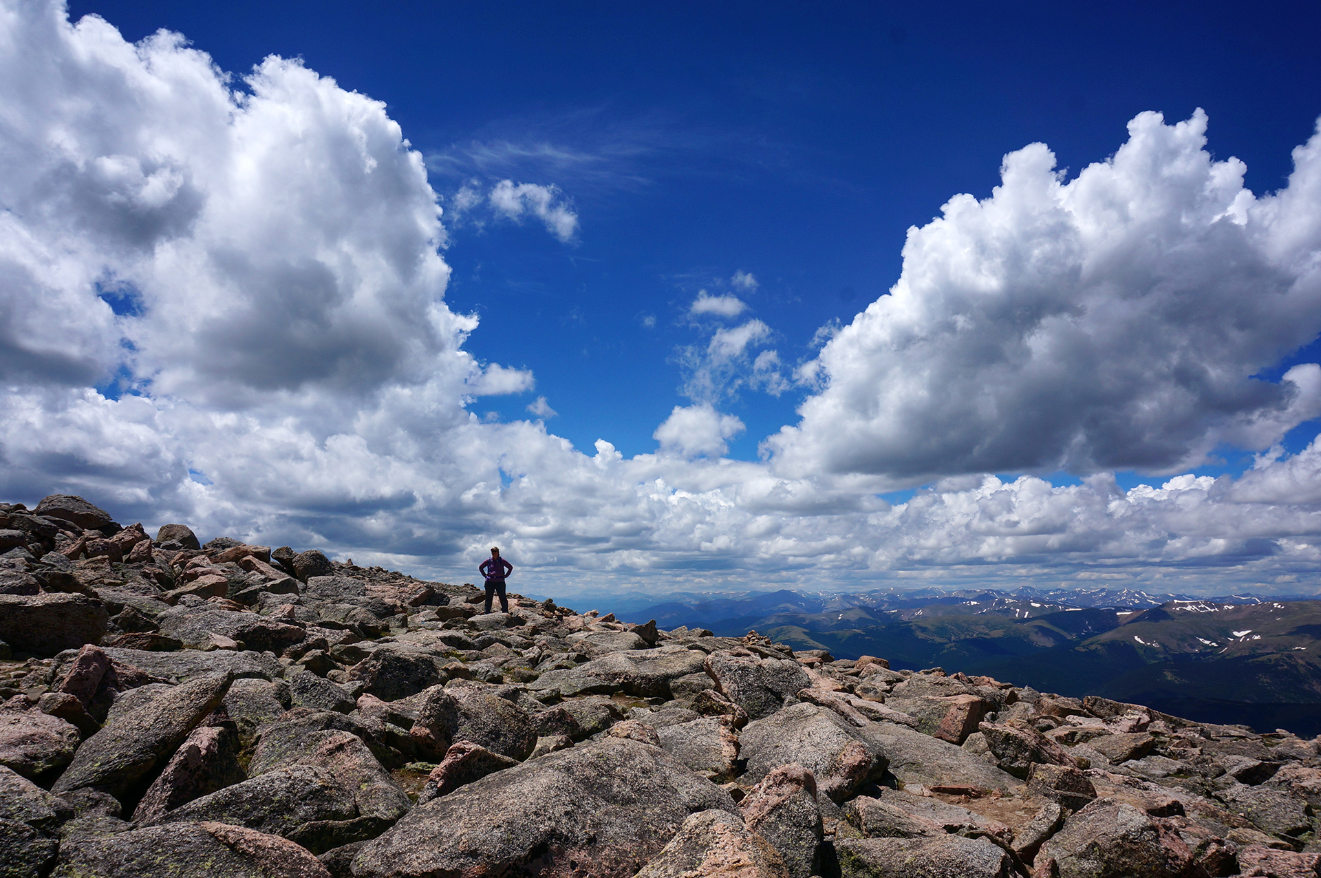
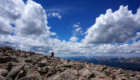
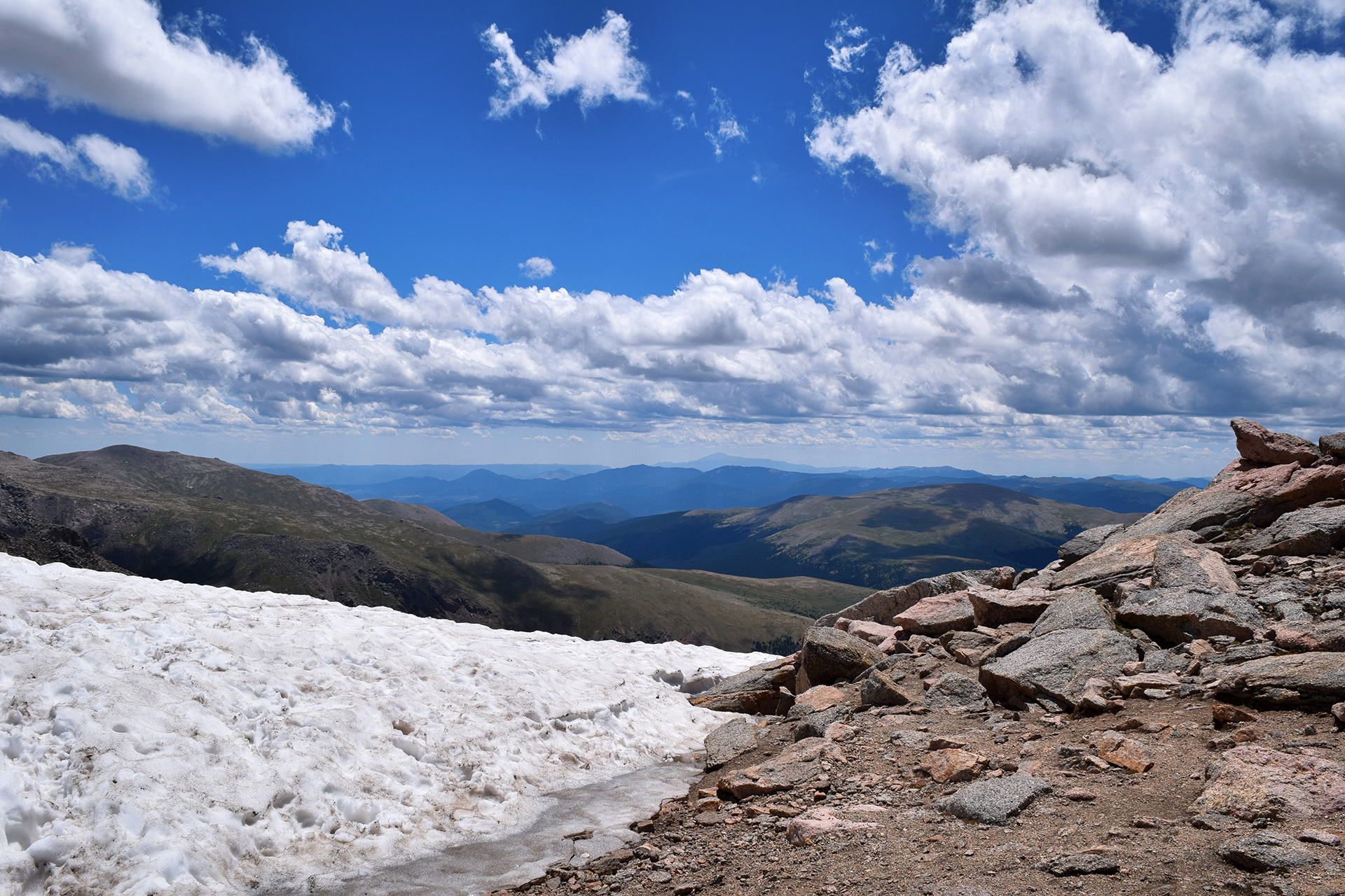
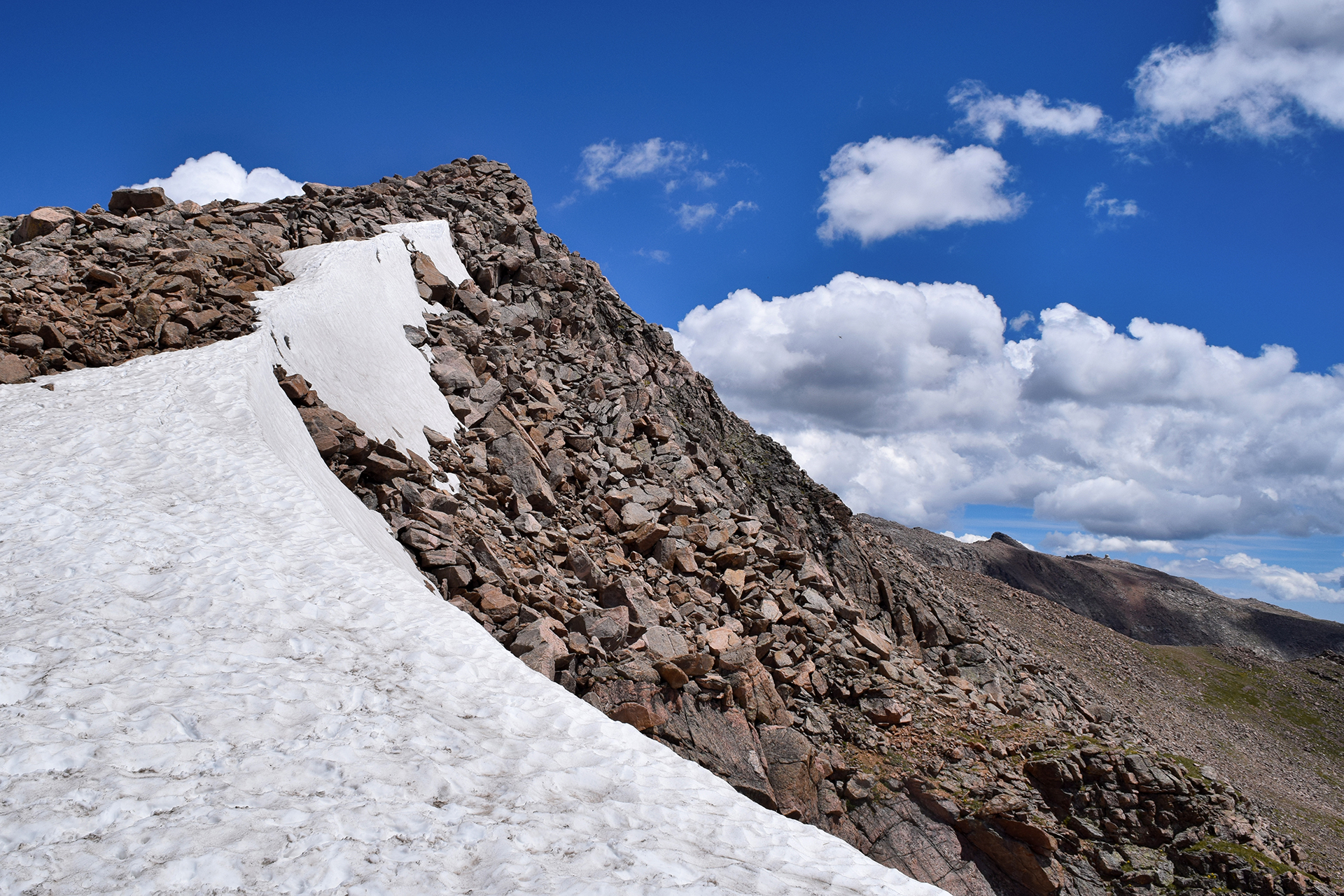
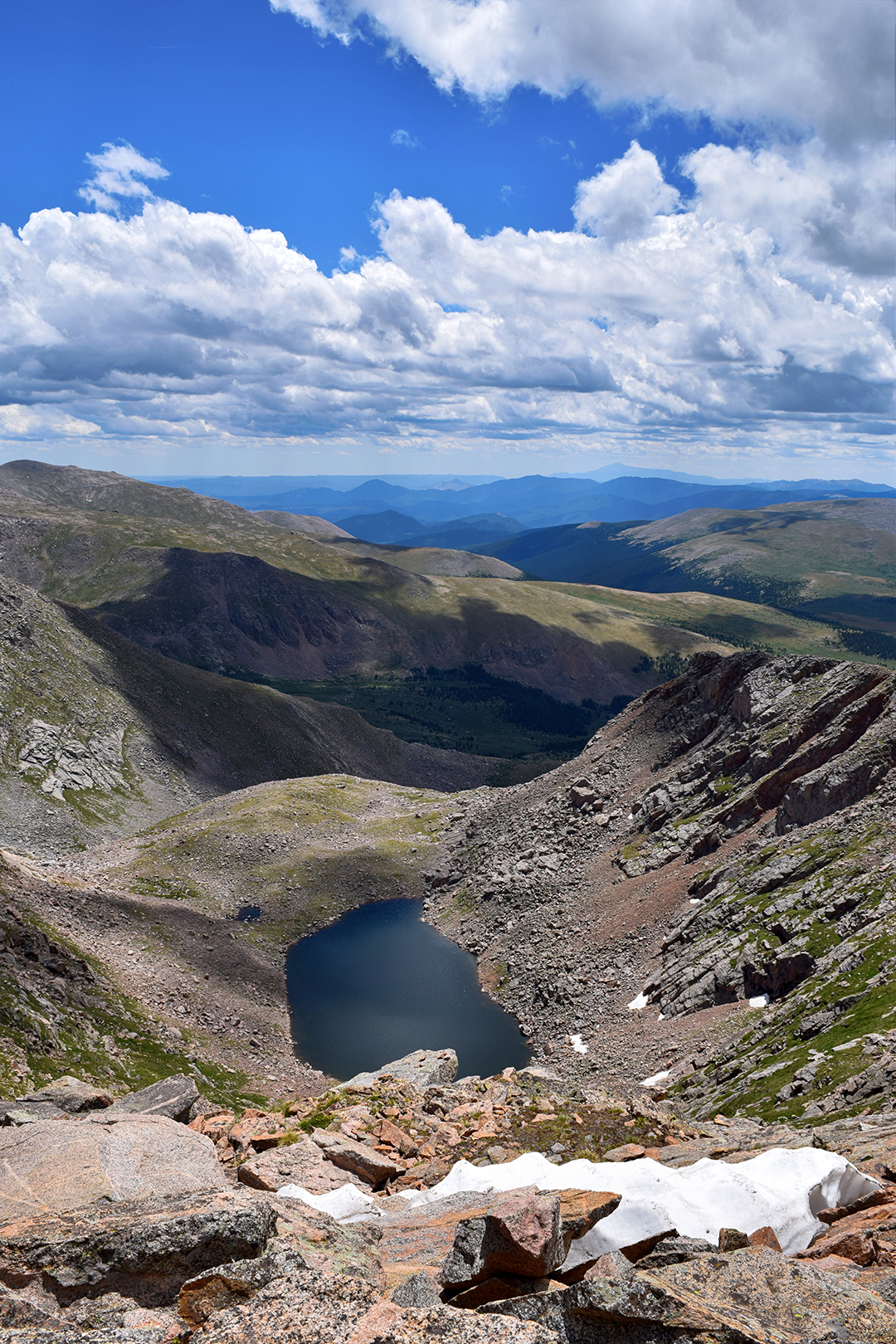
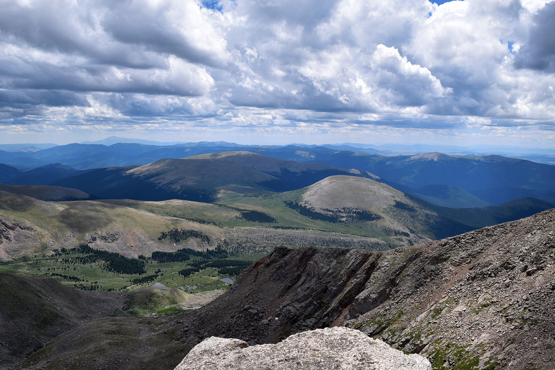
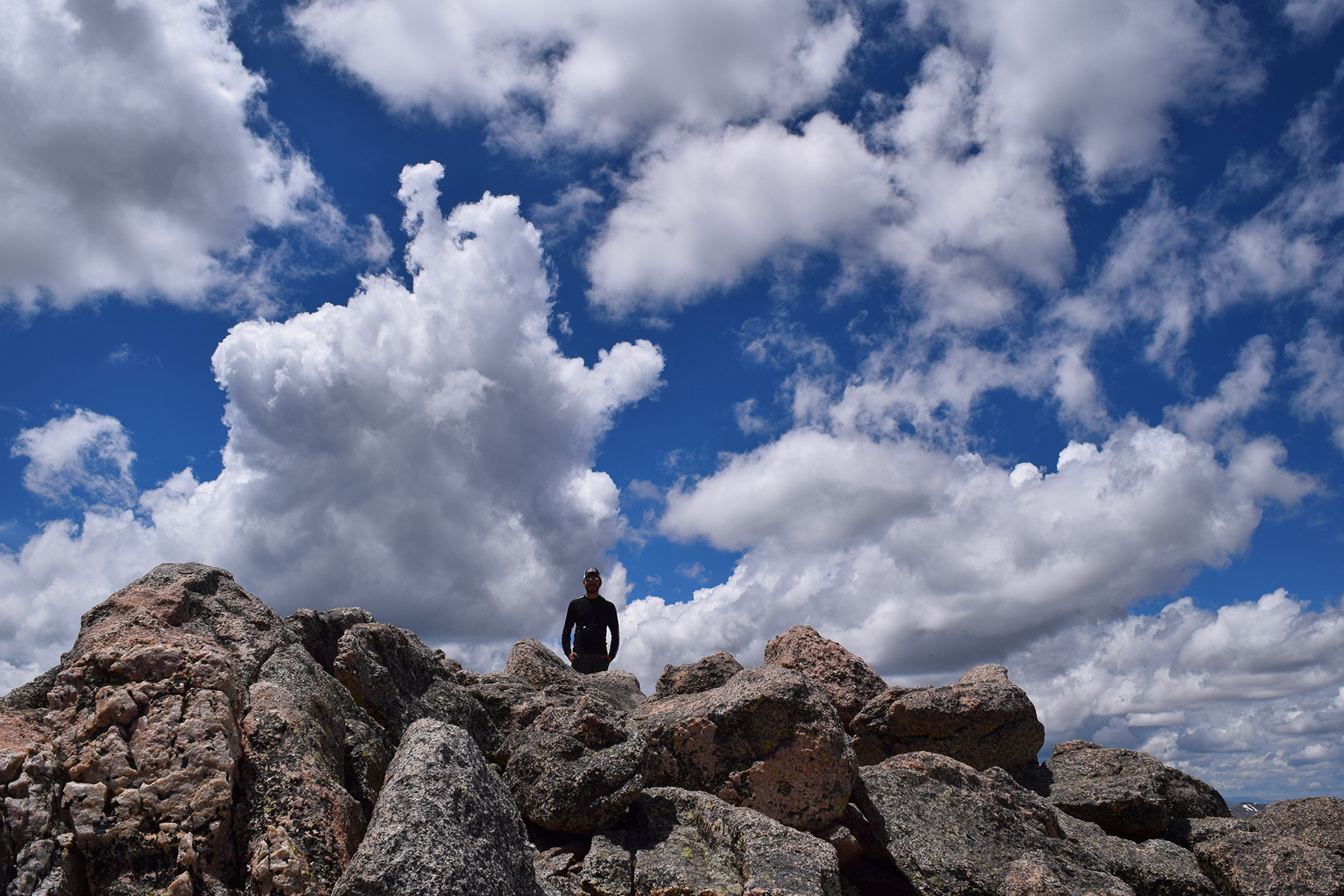
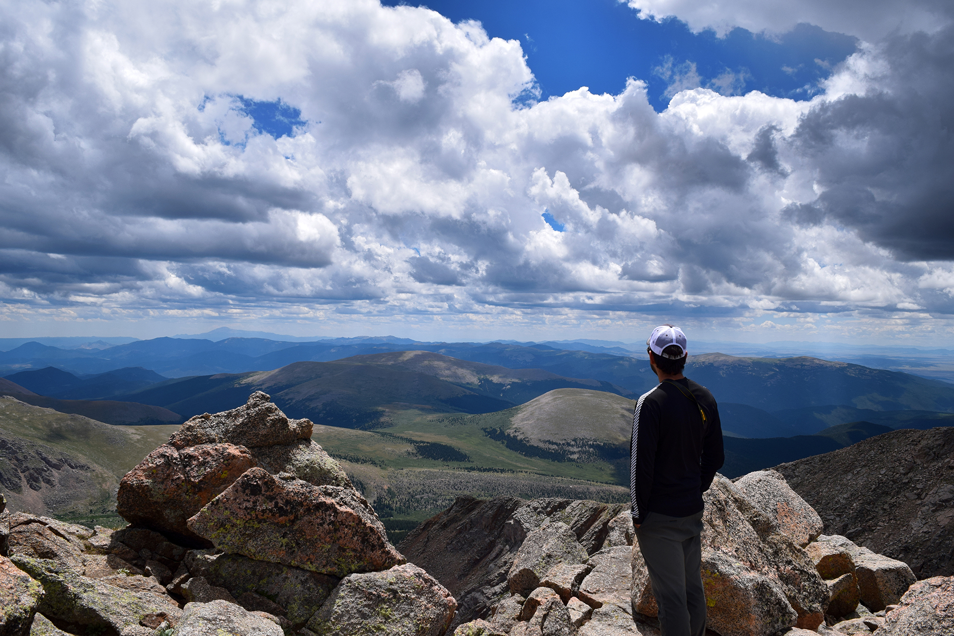
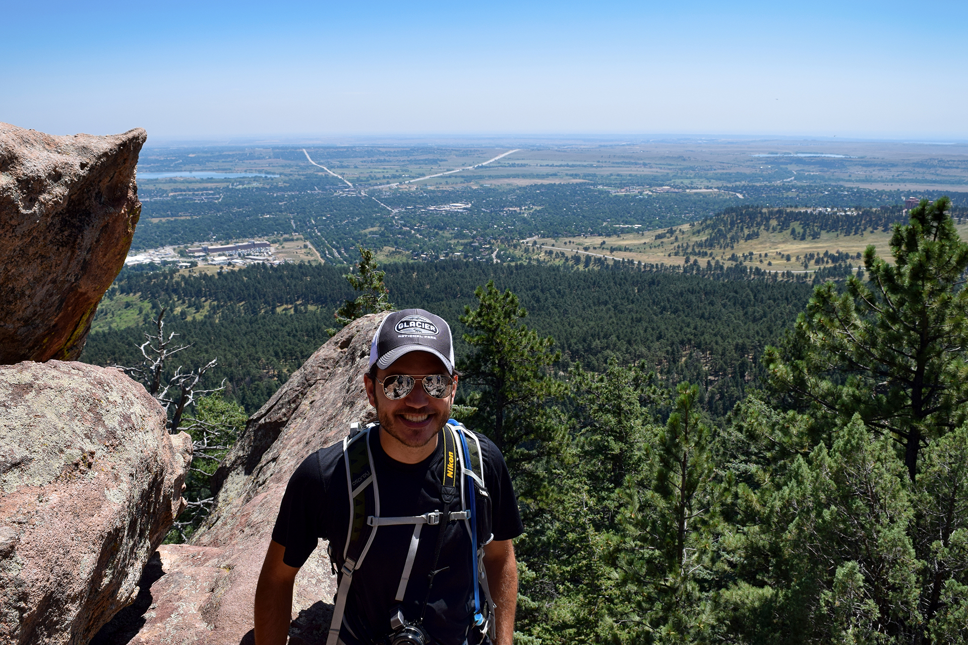
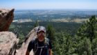
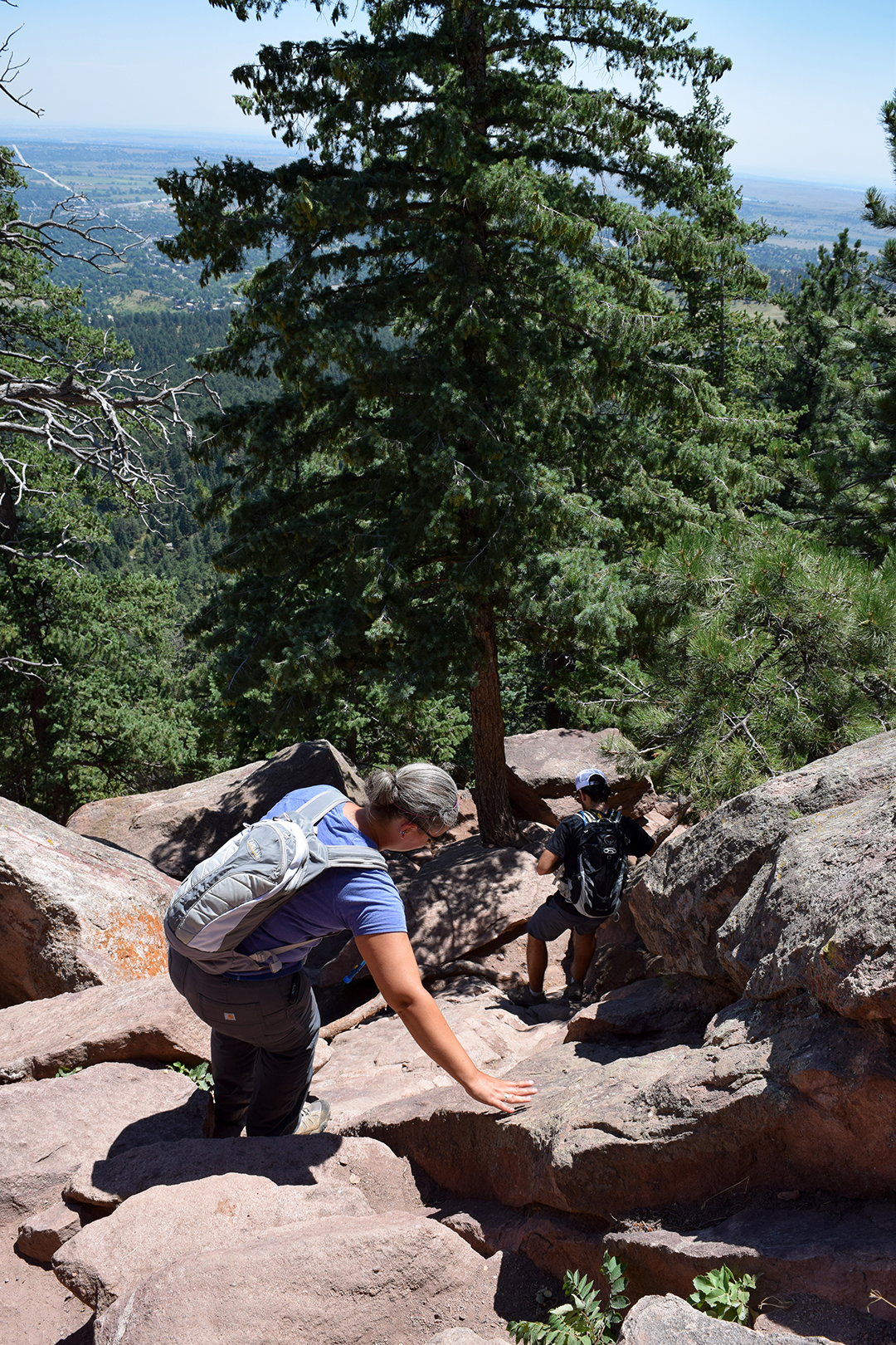
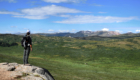
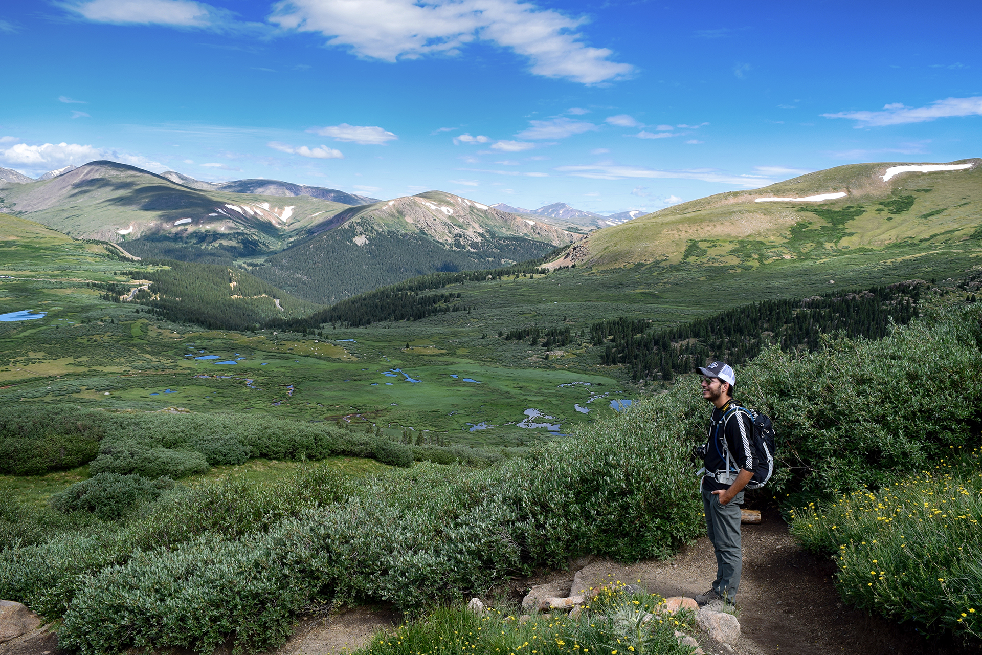
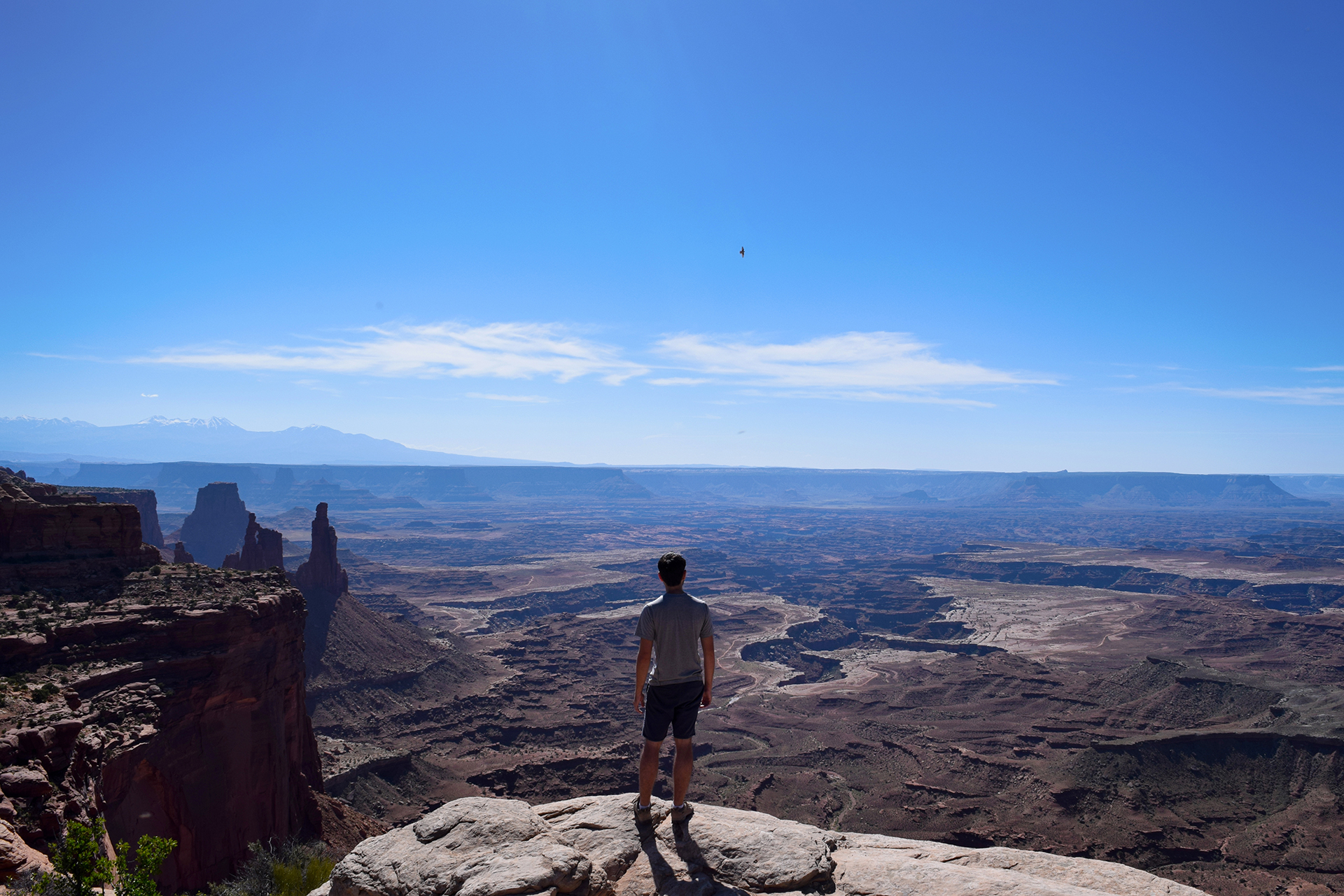
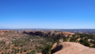
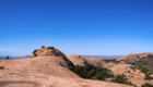
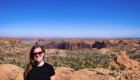
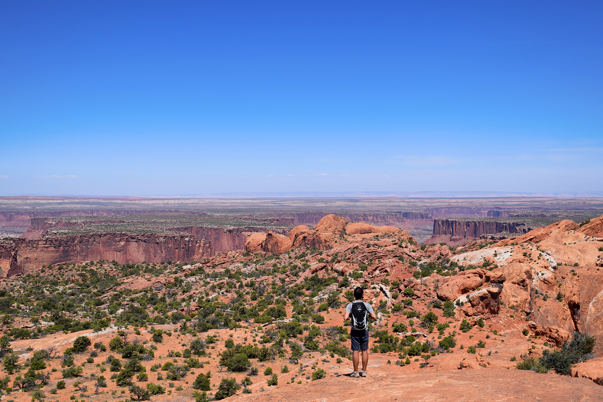
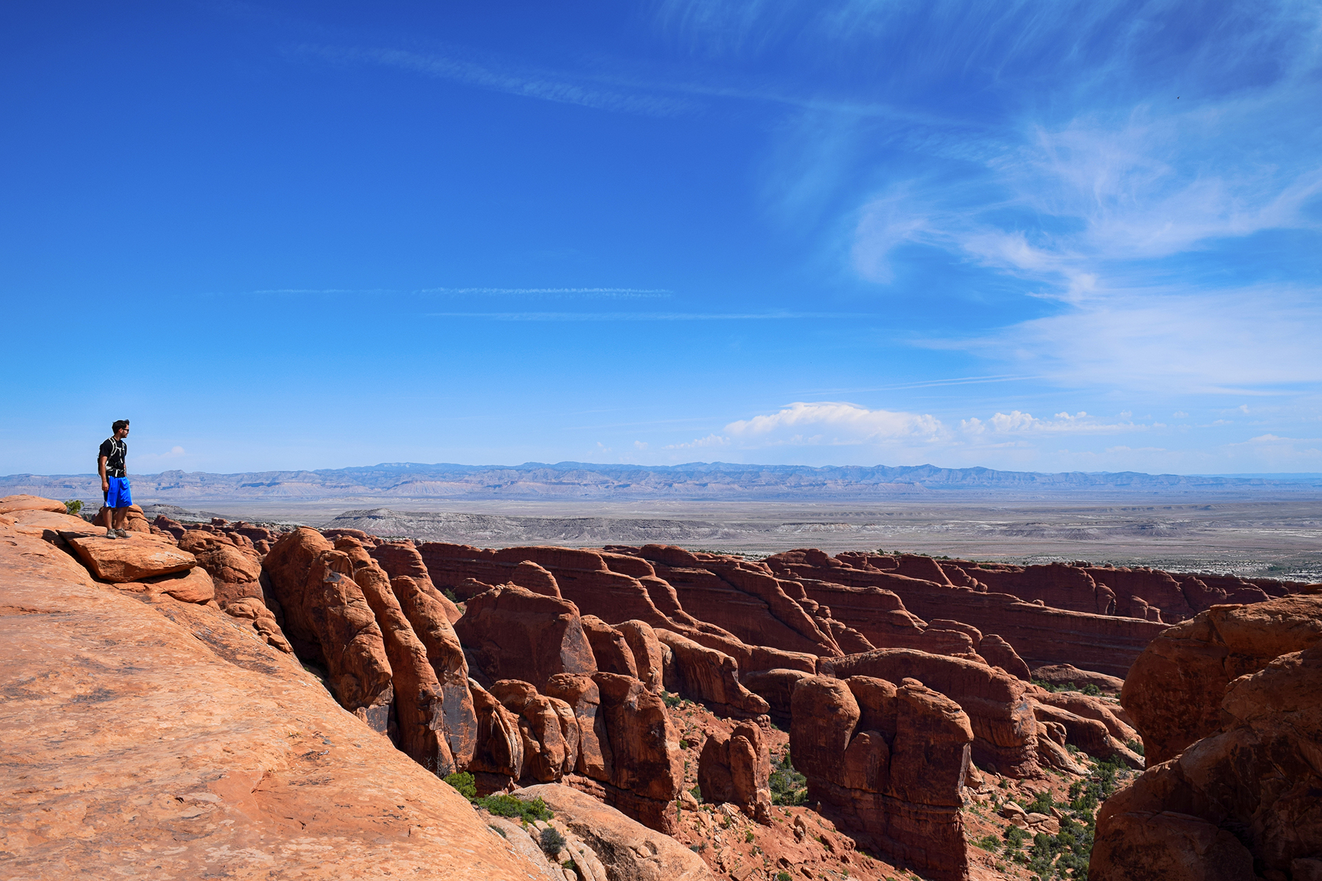
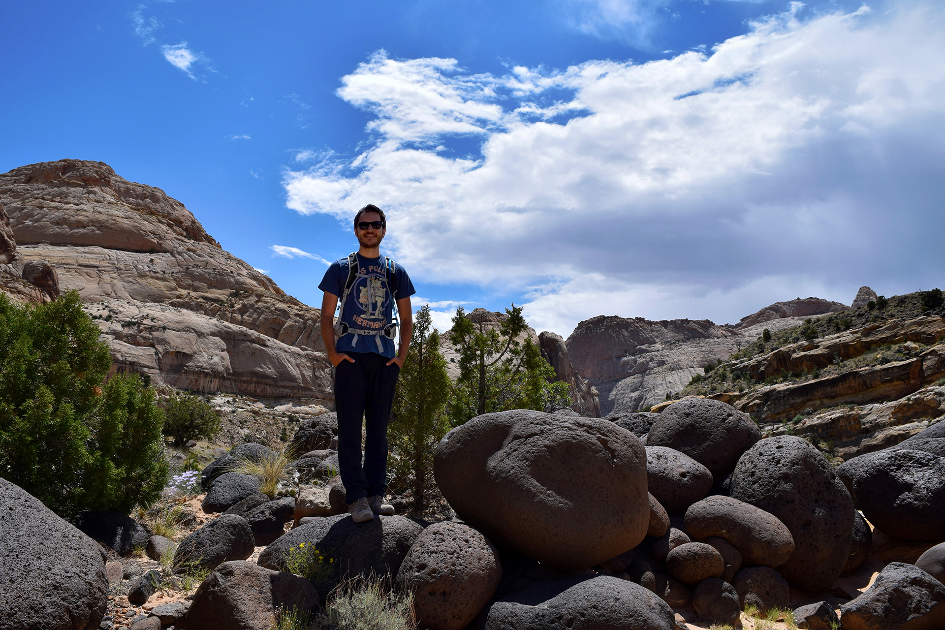
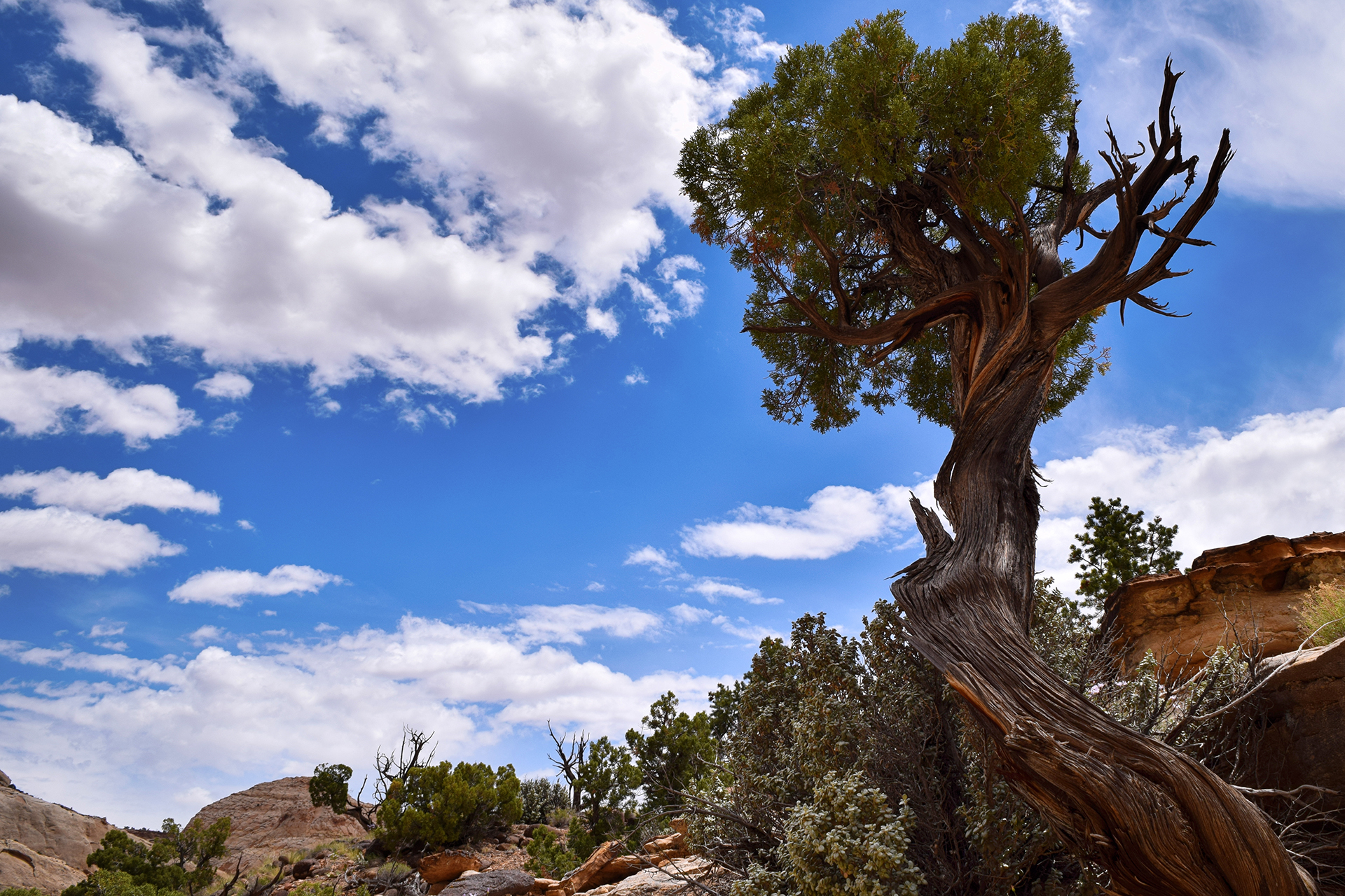
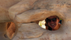
The actual peak was on a small mound nearby.  It required boulder scrambling, but we (Jake and Heather) decided to try it.  We made it up in about fifteen minutes, and assumed we would be just fine.  Jake posed for the cheerfully oblivious photo below.

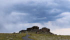
See those dark clouds behind him?  Yeah…

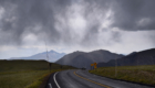
Storms come fast in the mountains.

About ten minutes after that photo was taken, we were booking it down the trail while pouring rain and hail blasted down around us.  Soon, lightning started slamming down onto the mountains around us.  We took a look around and gulped – we were still above the treeline.  In fact, we were the highest thing around for miles.

No need to linger.  It was bad, but we survived.  Plus, so far as anyone knows, Jake didn’t get hit by lightning and then reanimated in a gross violation of biology and physics.

So.  Don’t need to ask about that.

Rocky Road

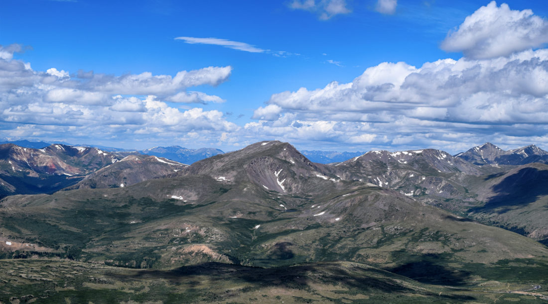
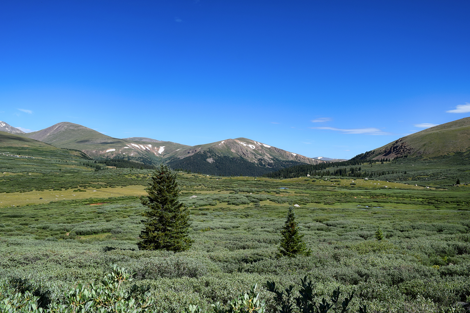
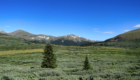
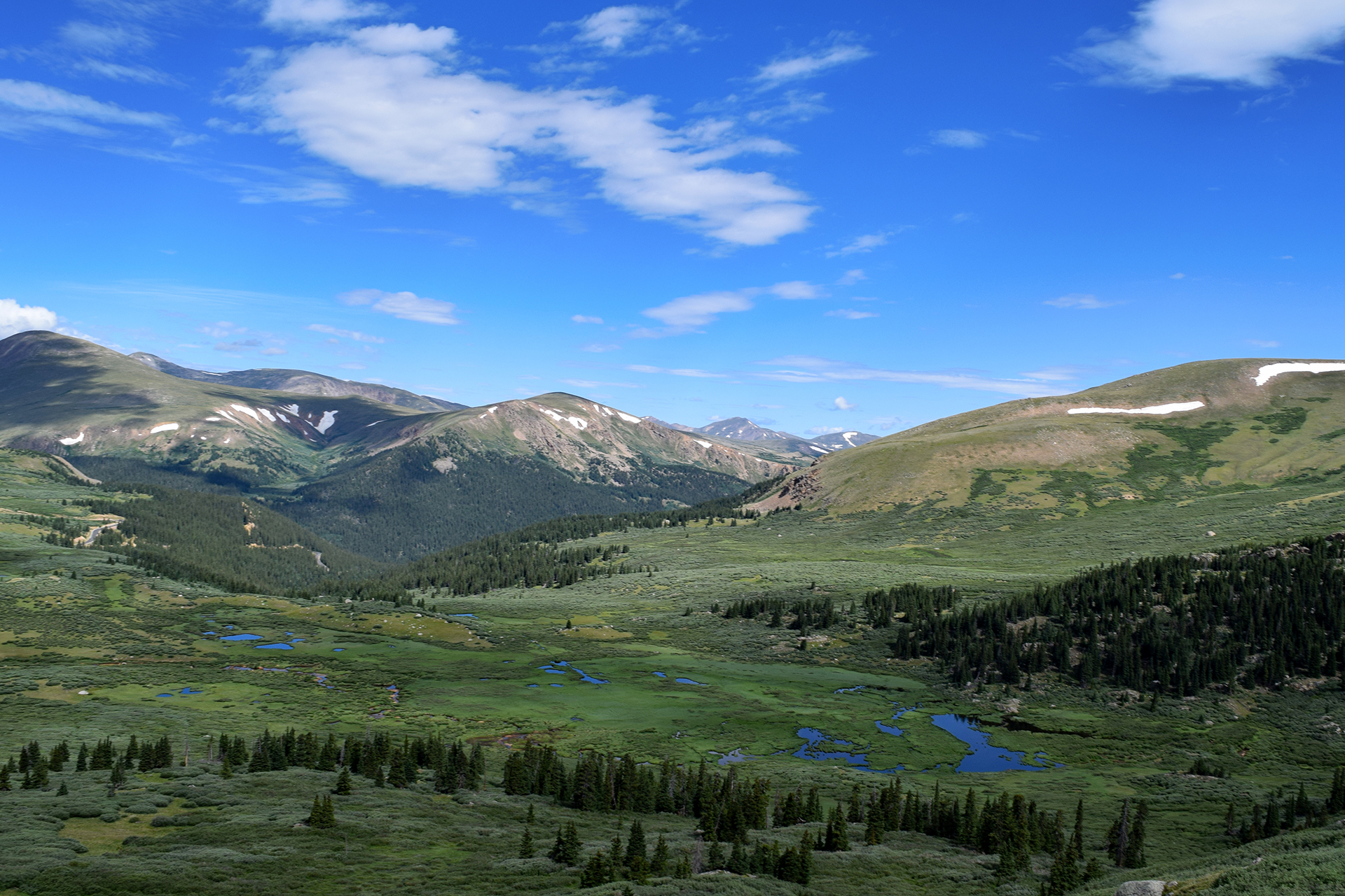
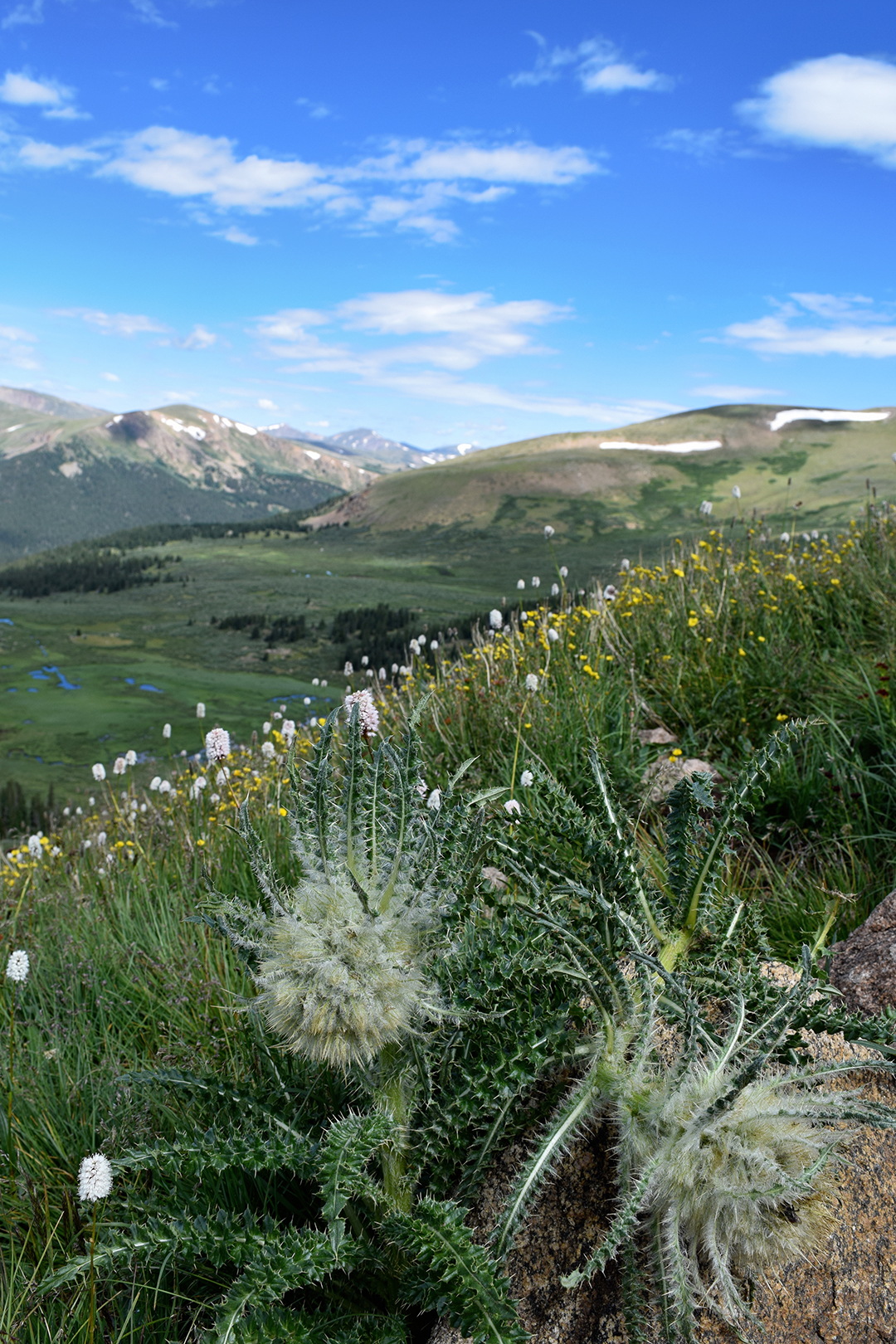
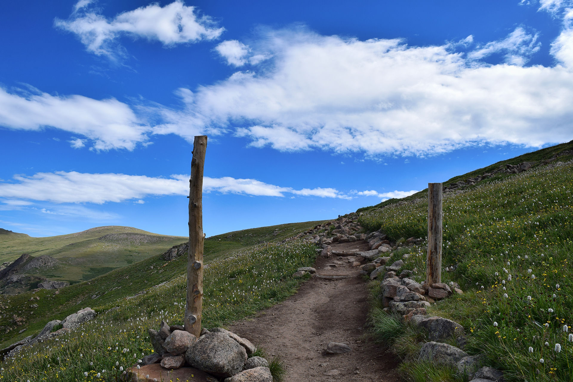
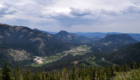
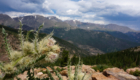
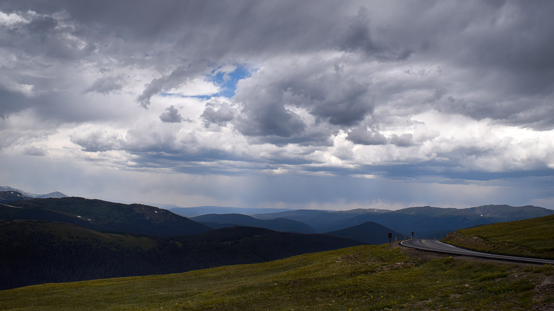
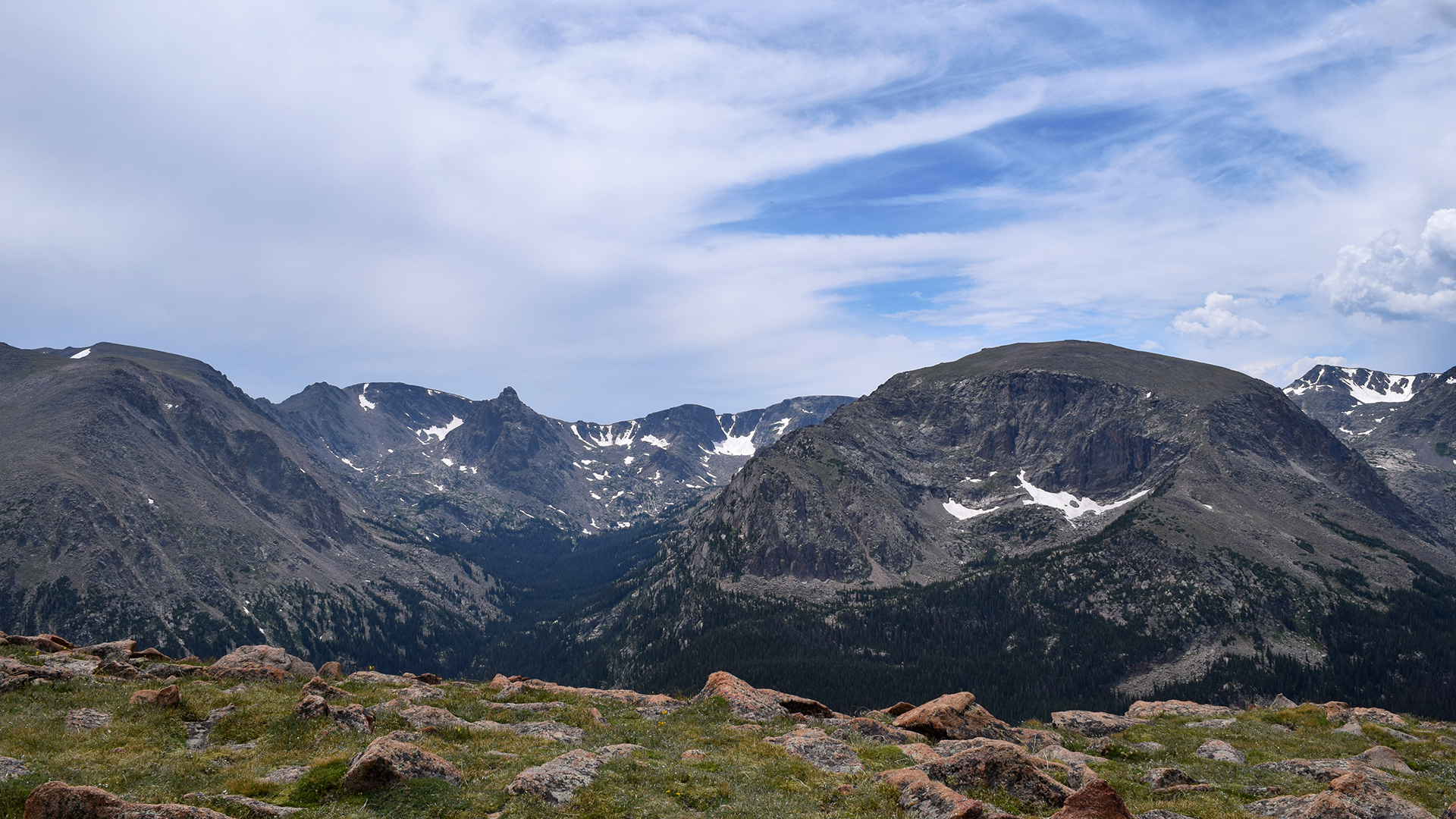
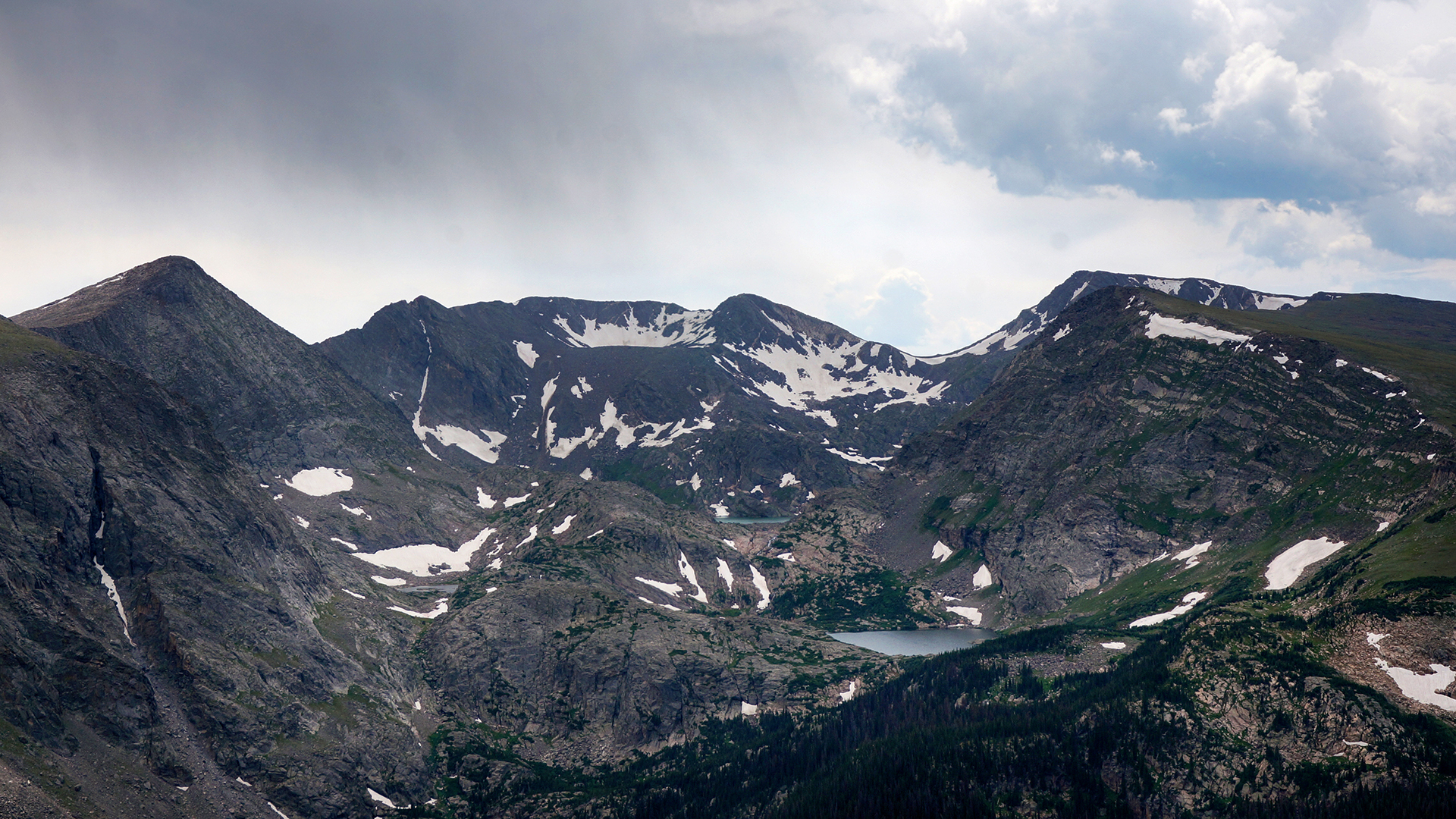
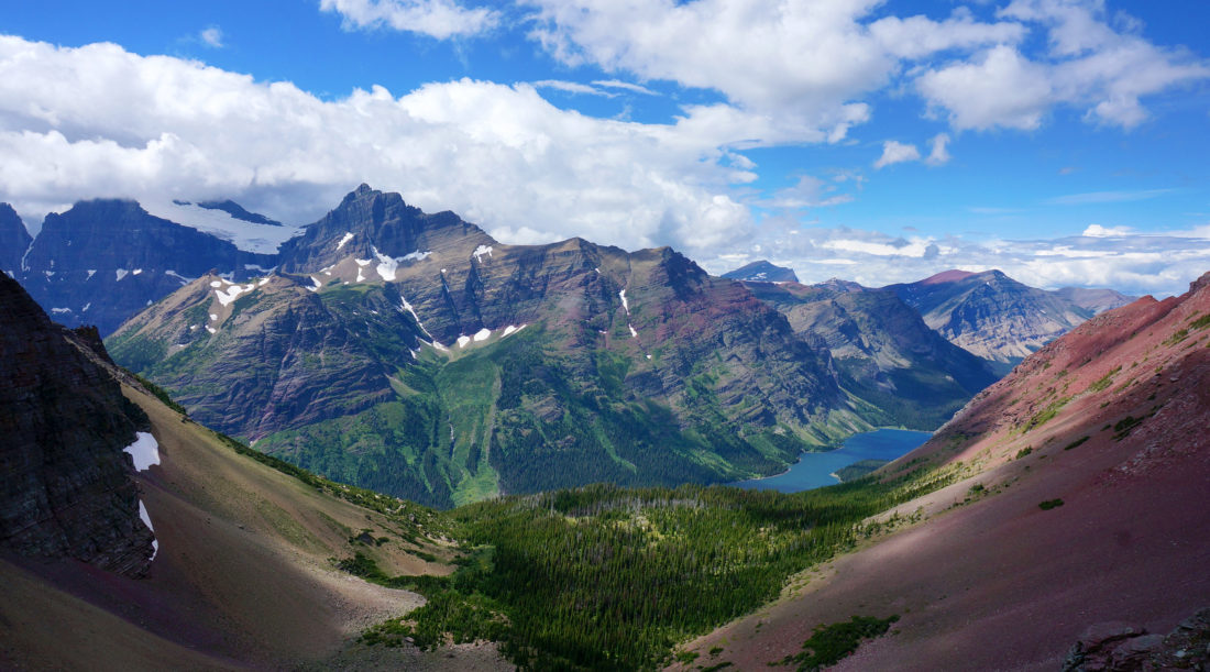
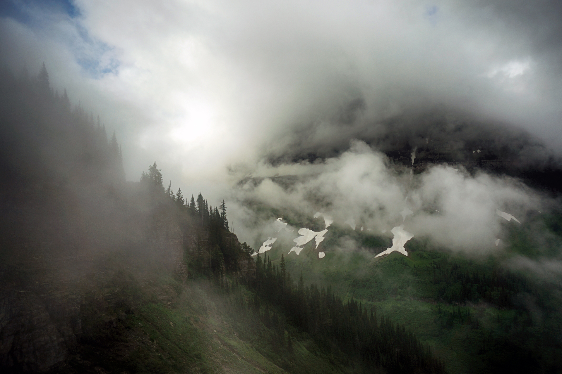
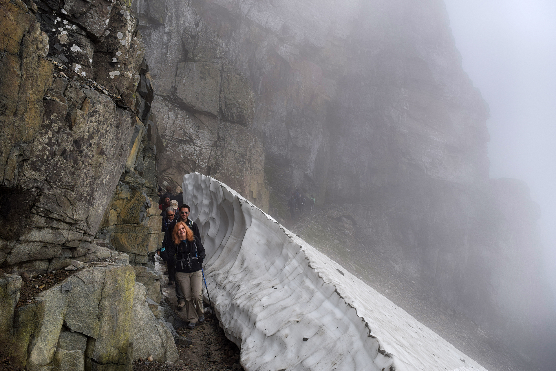
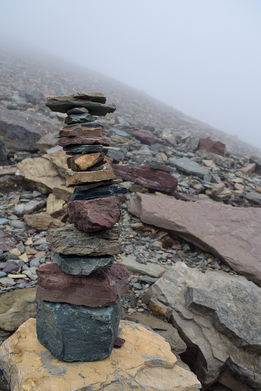
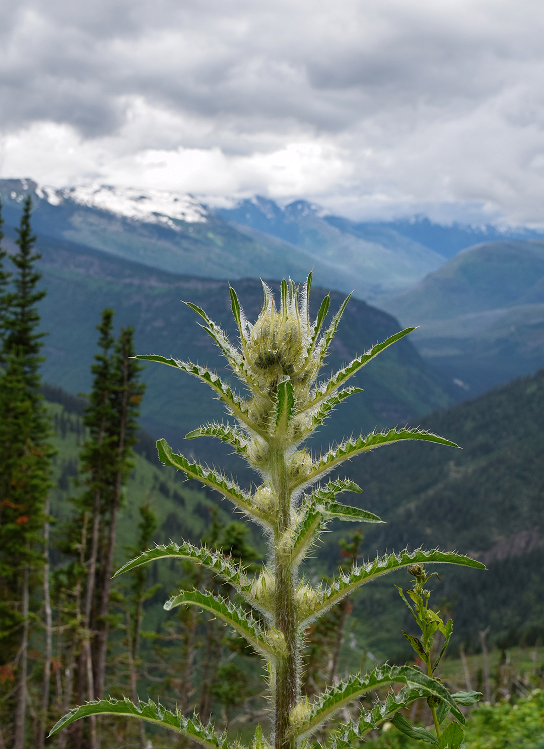
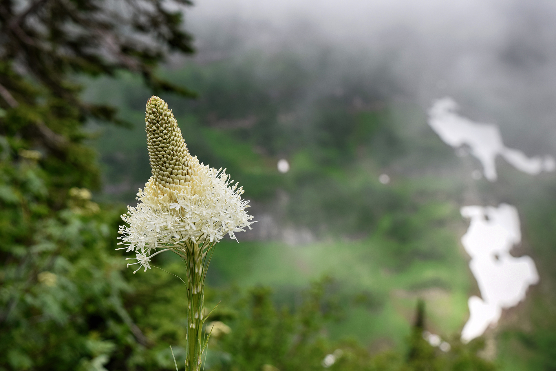
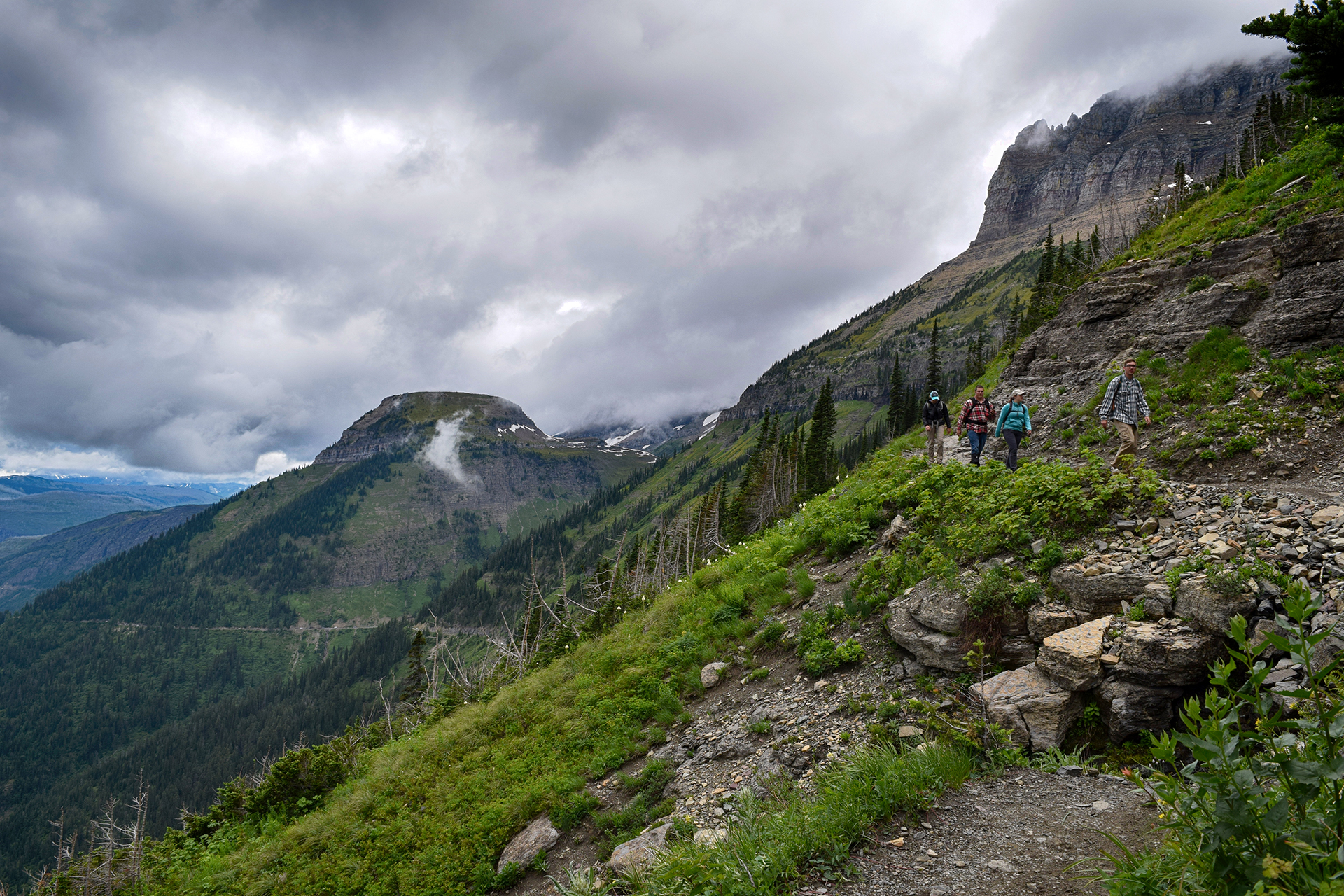
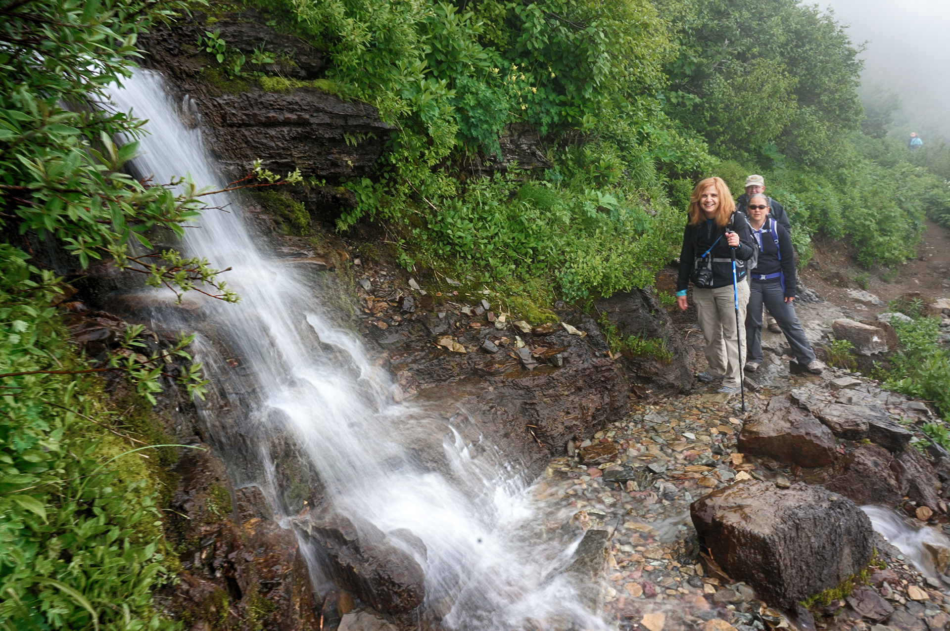
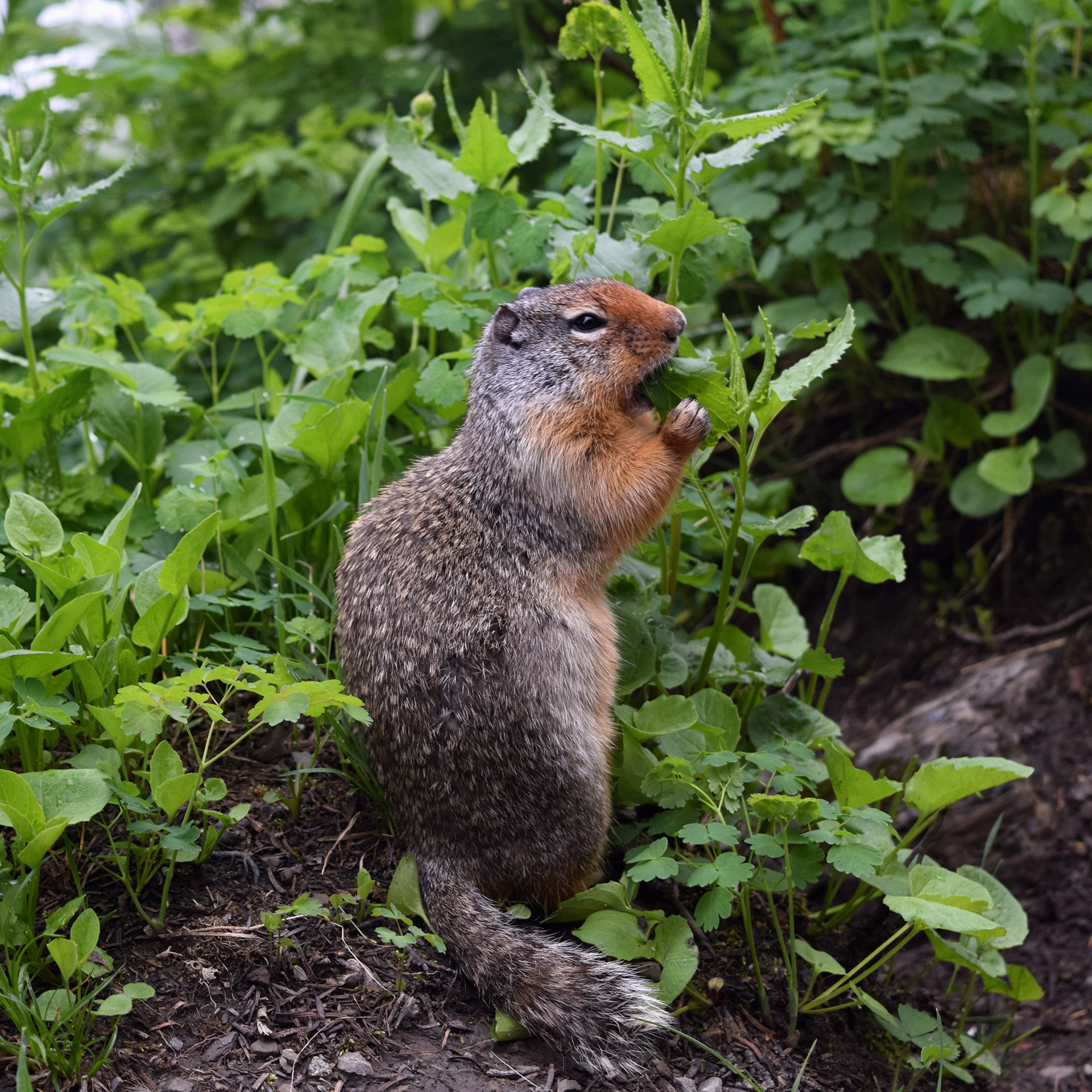
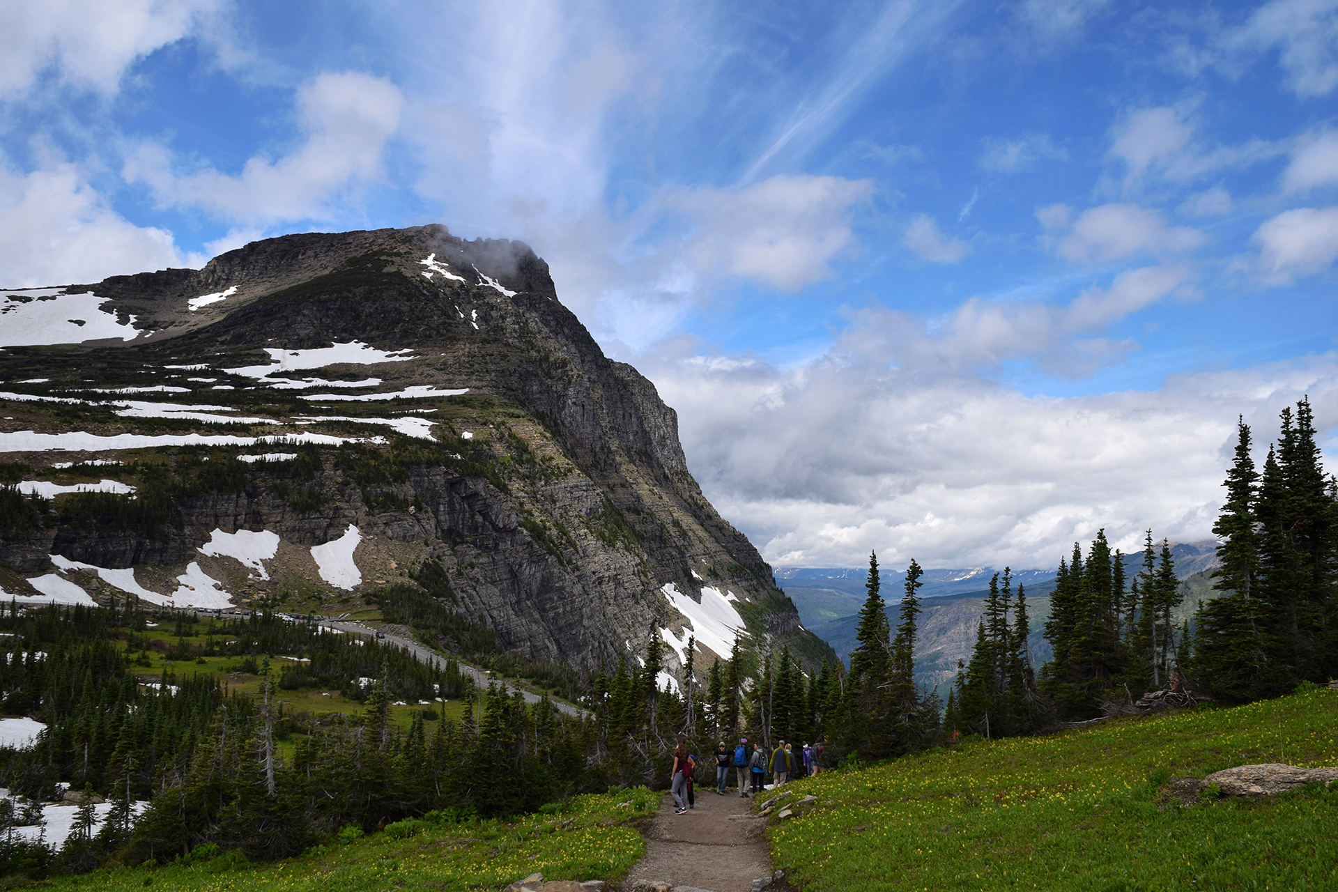
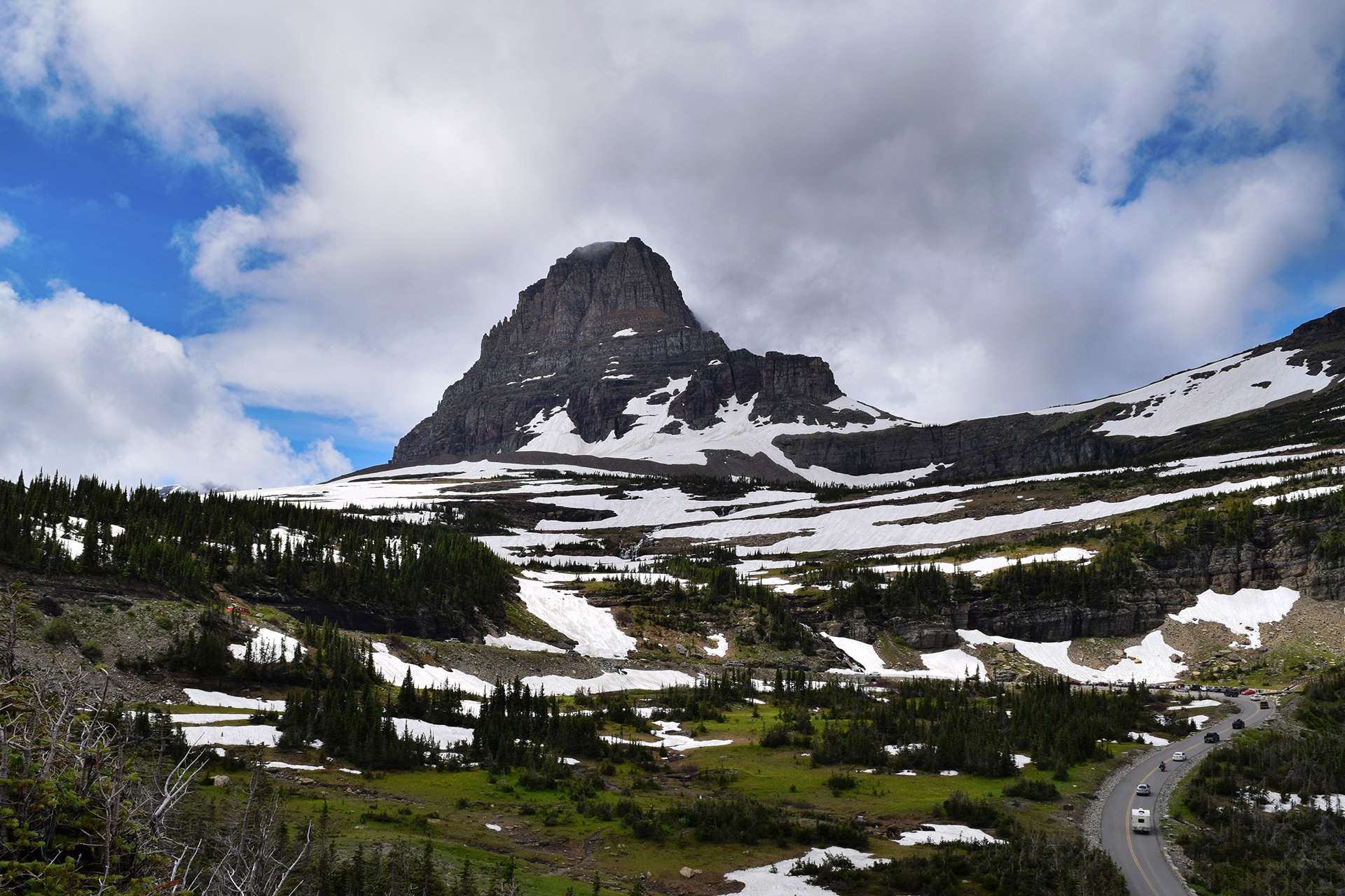
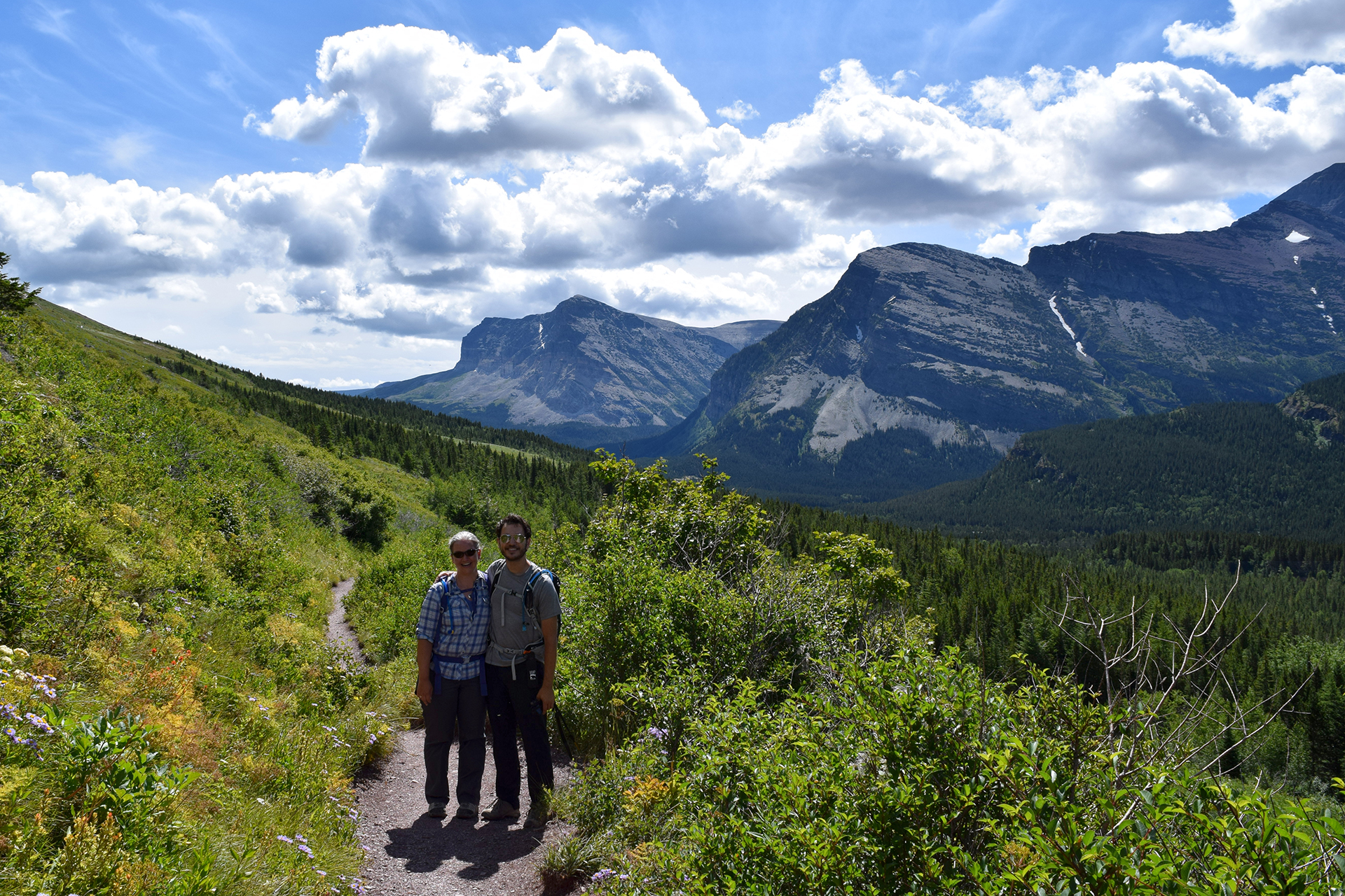
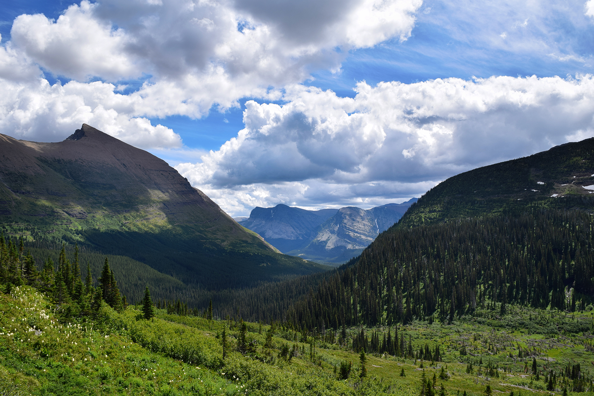
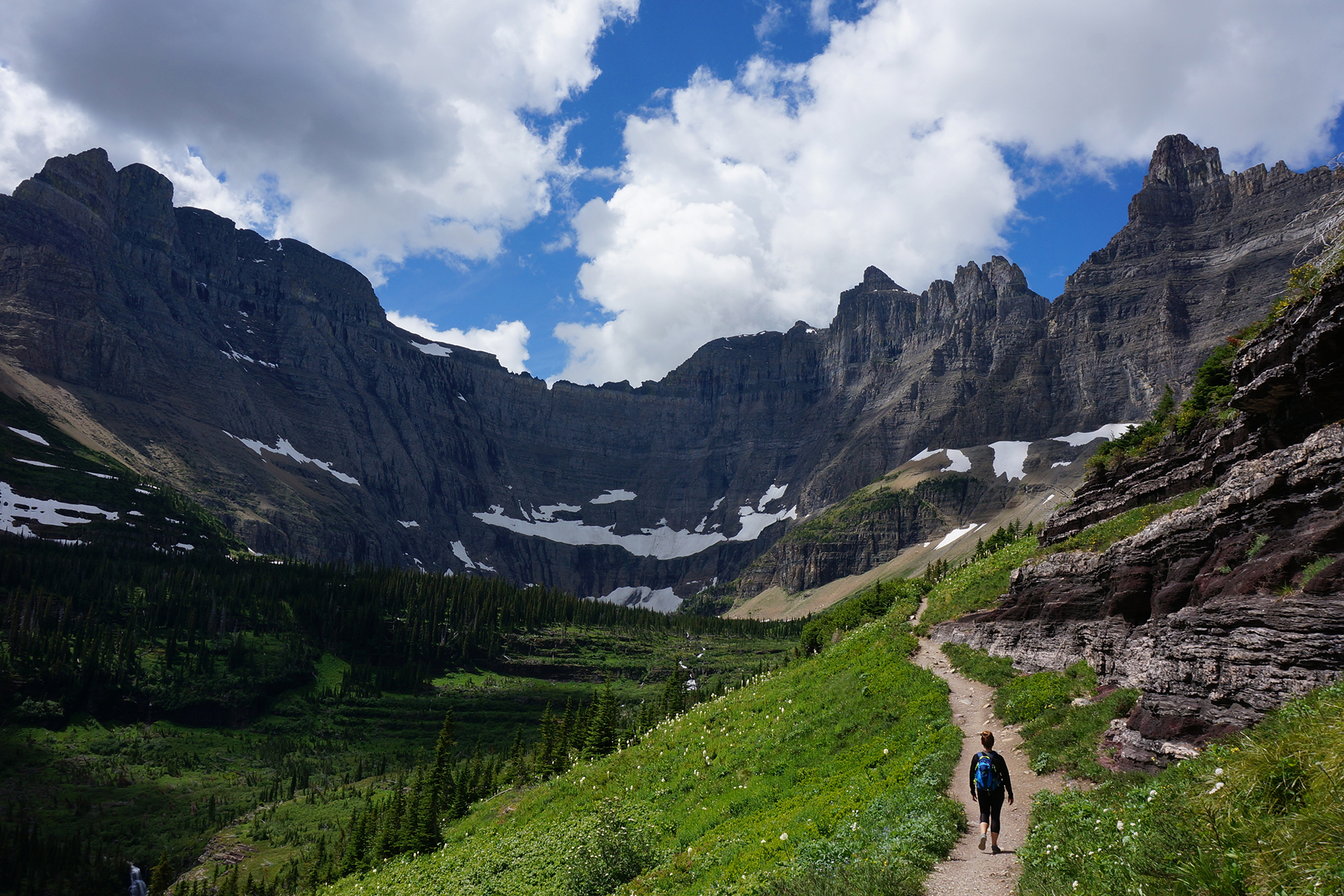
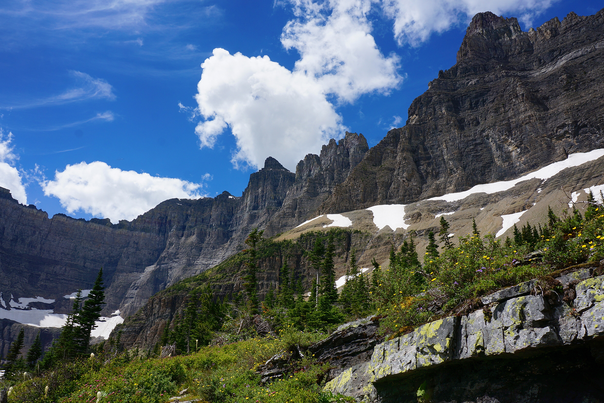
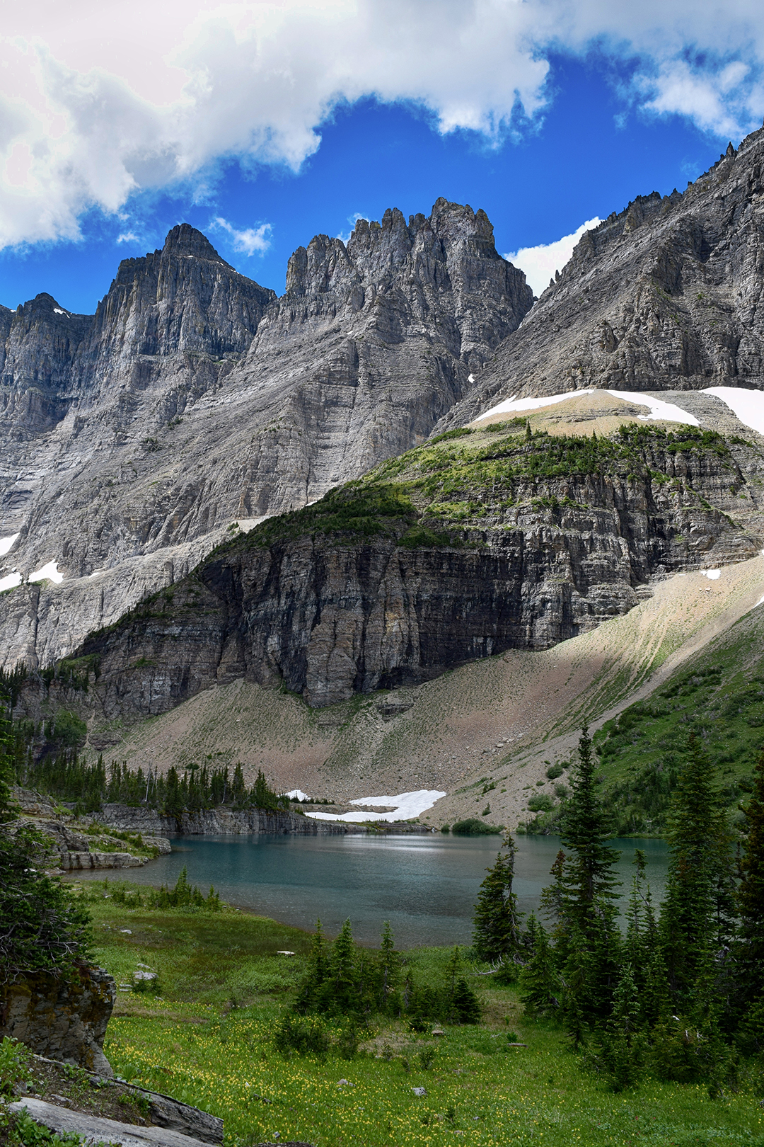
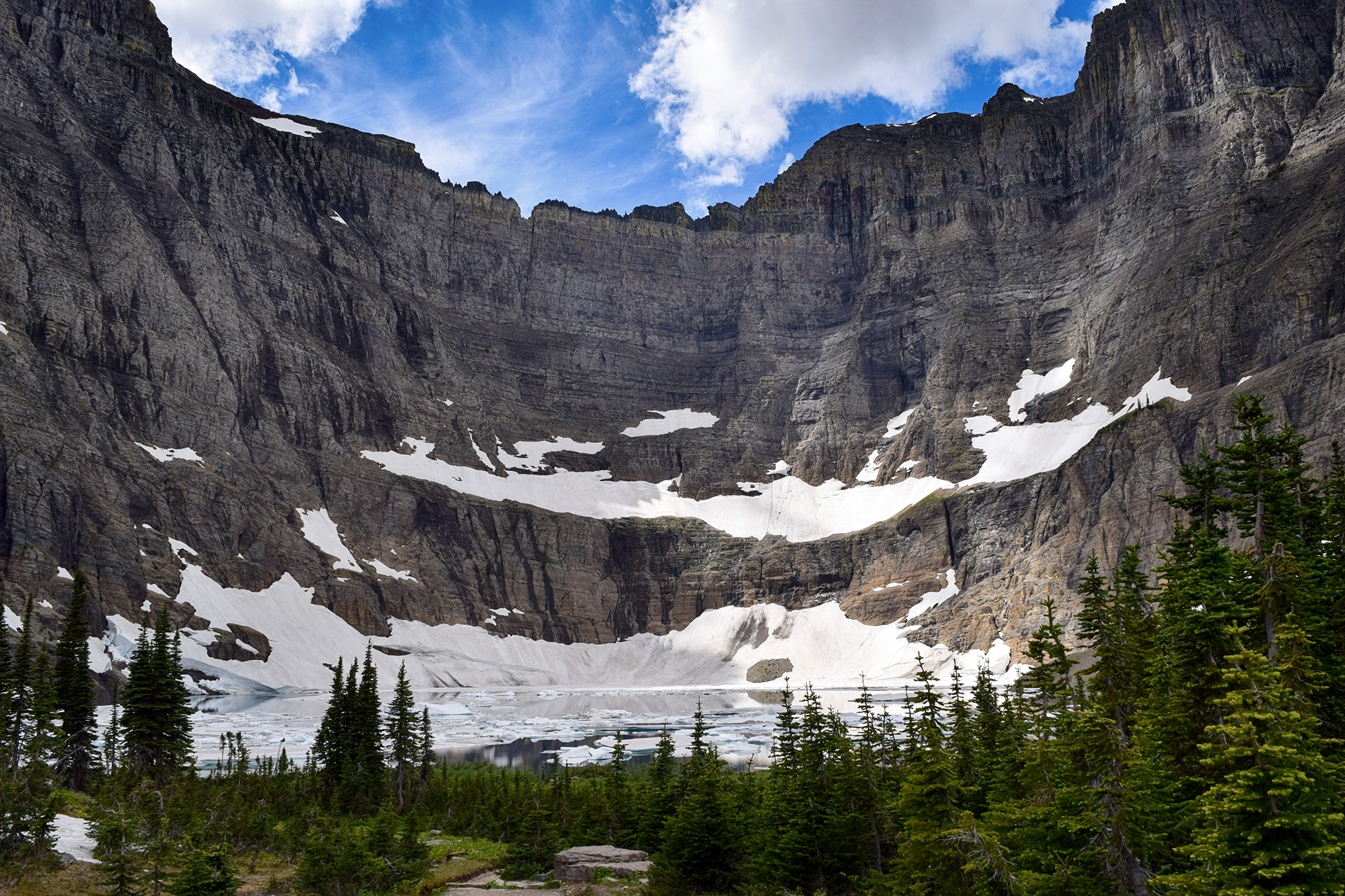
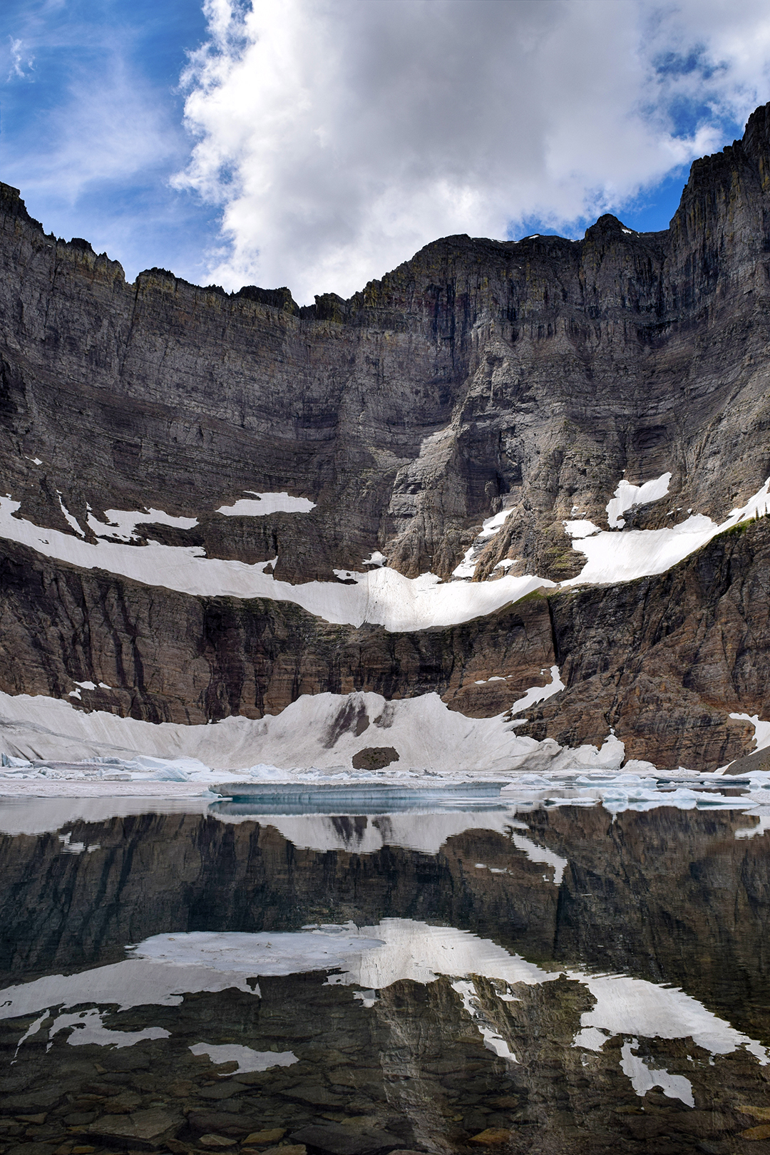
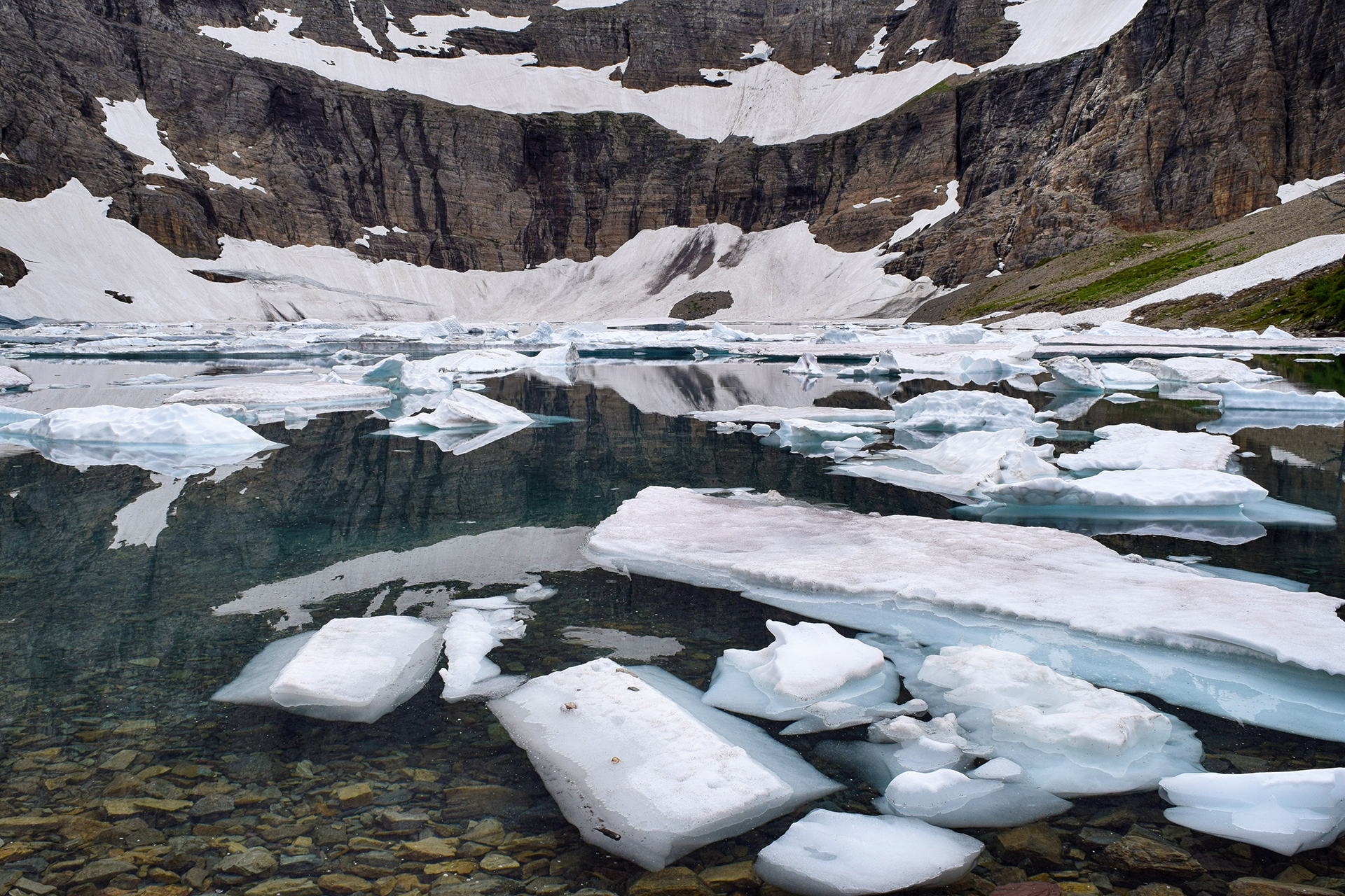
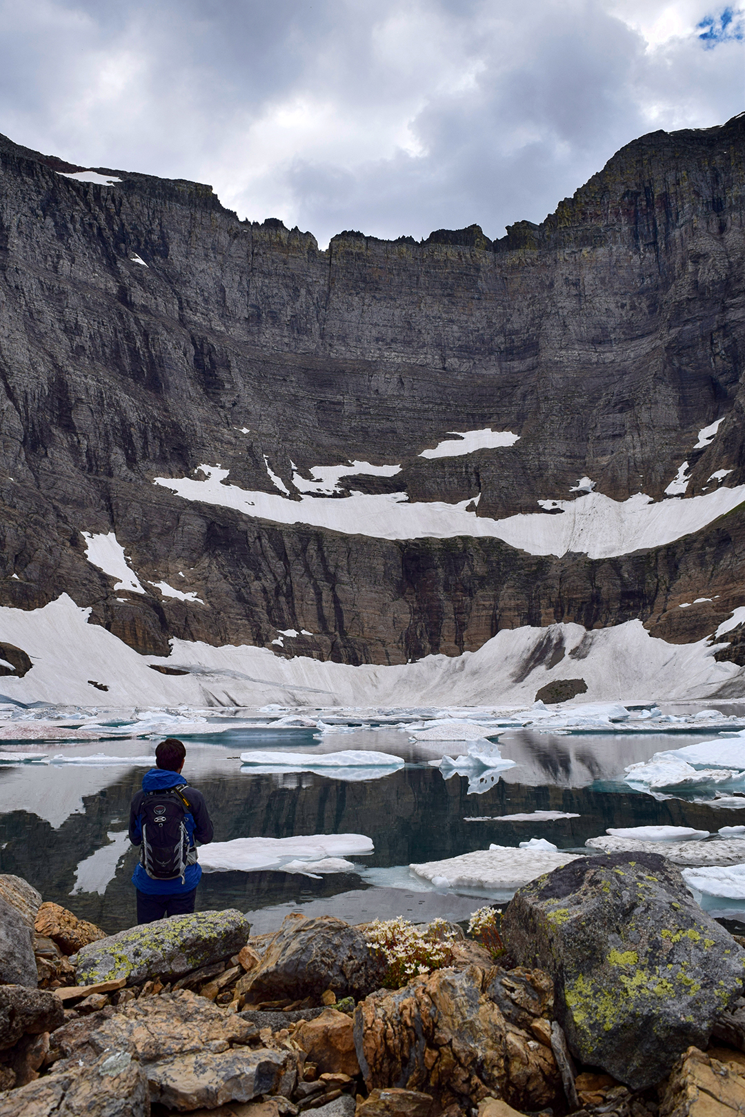
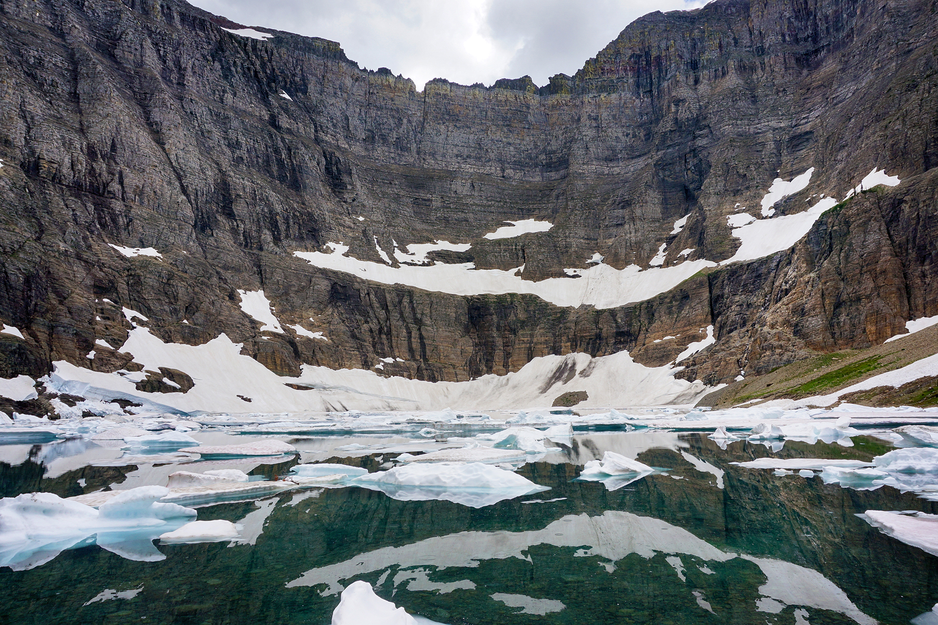
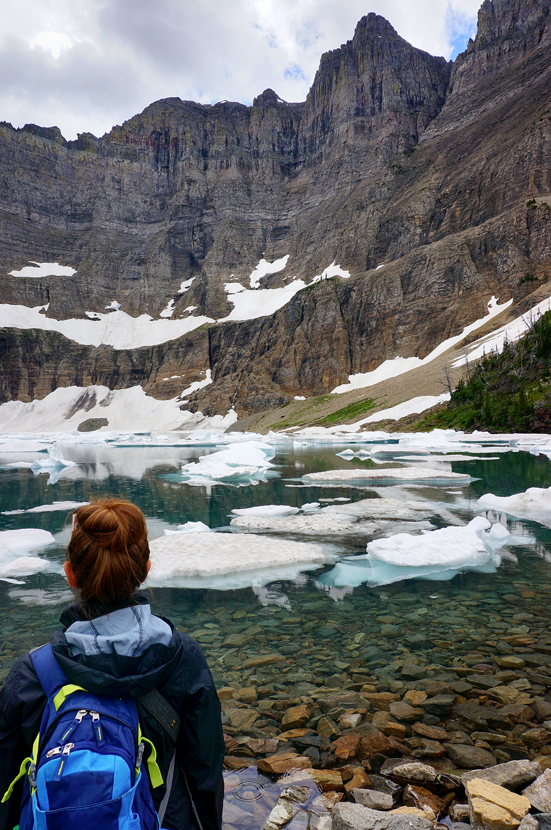
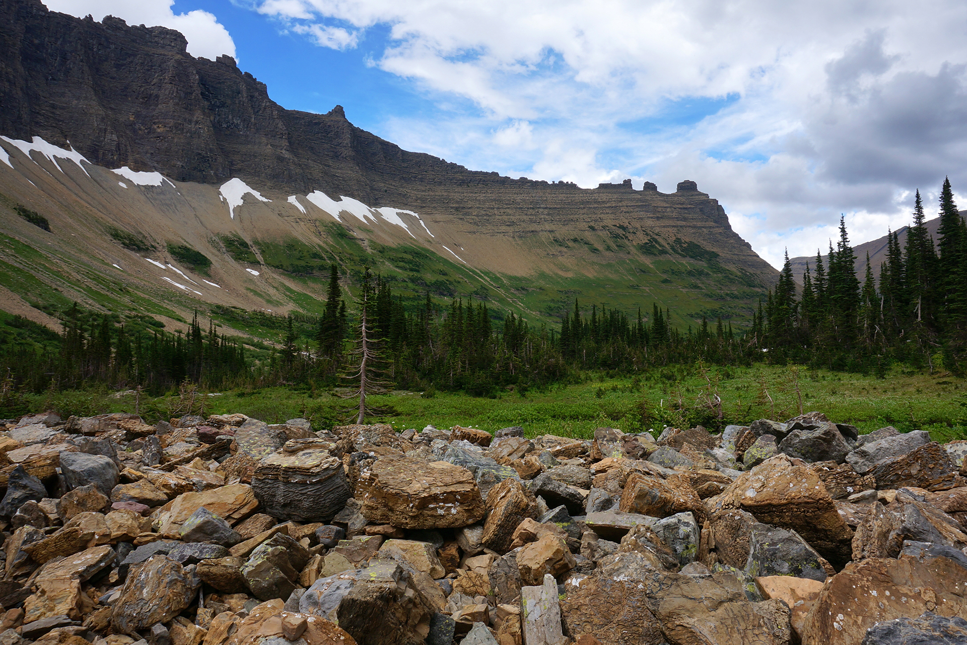
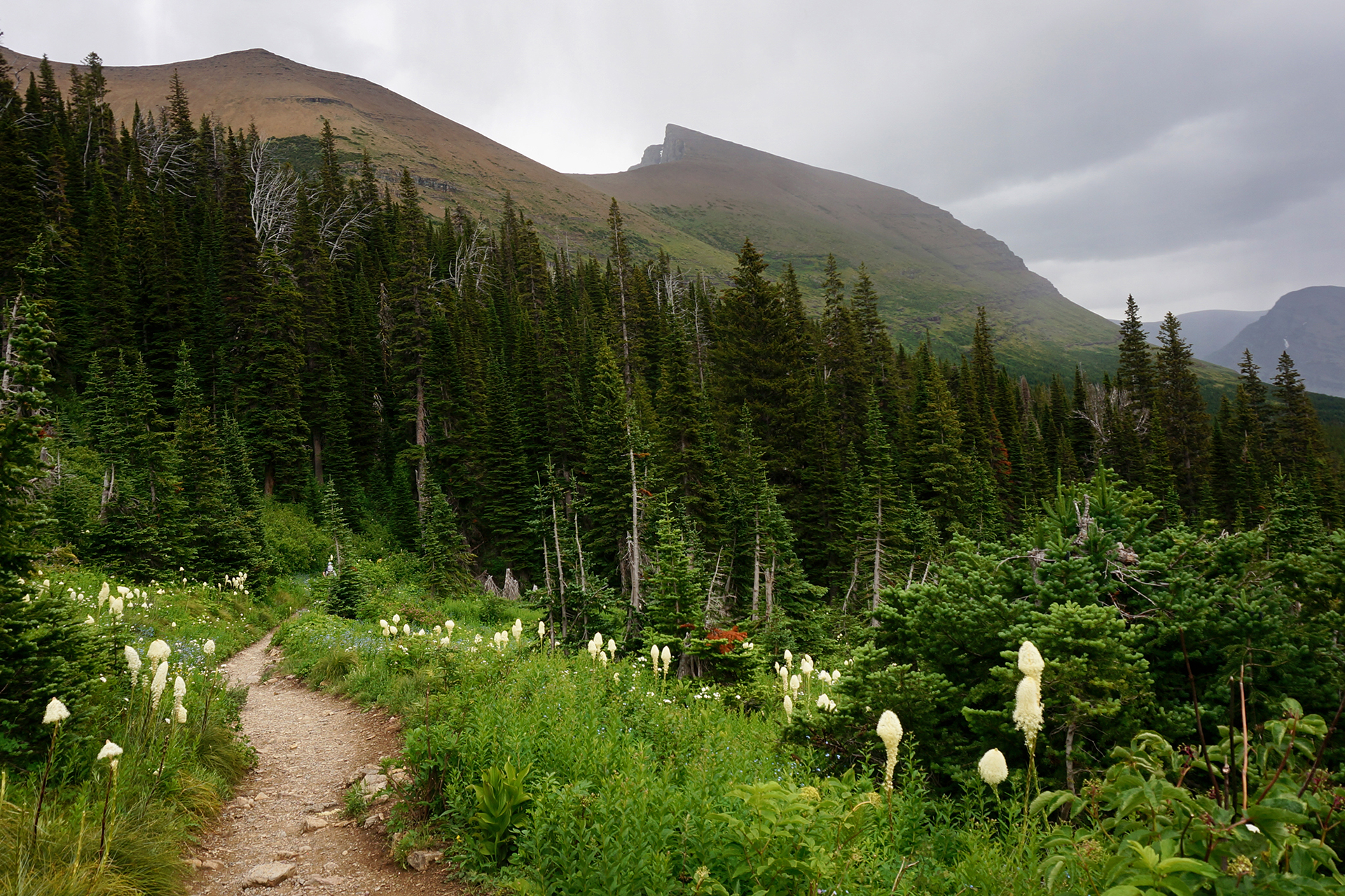
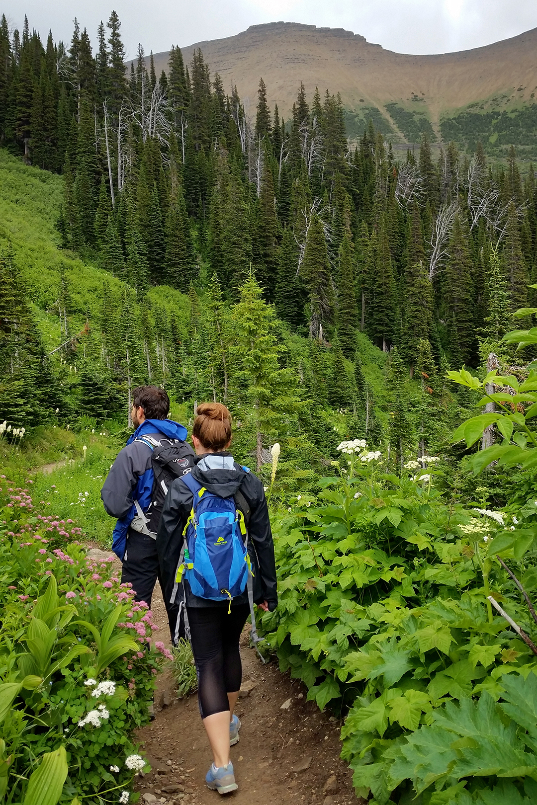
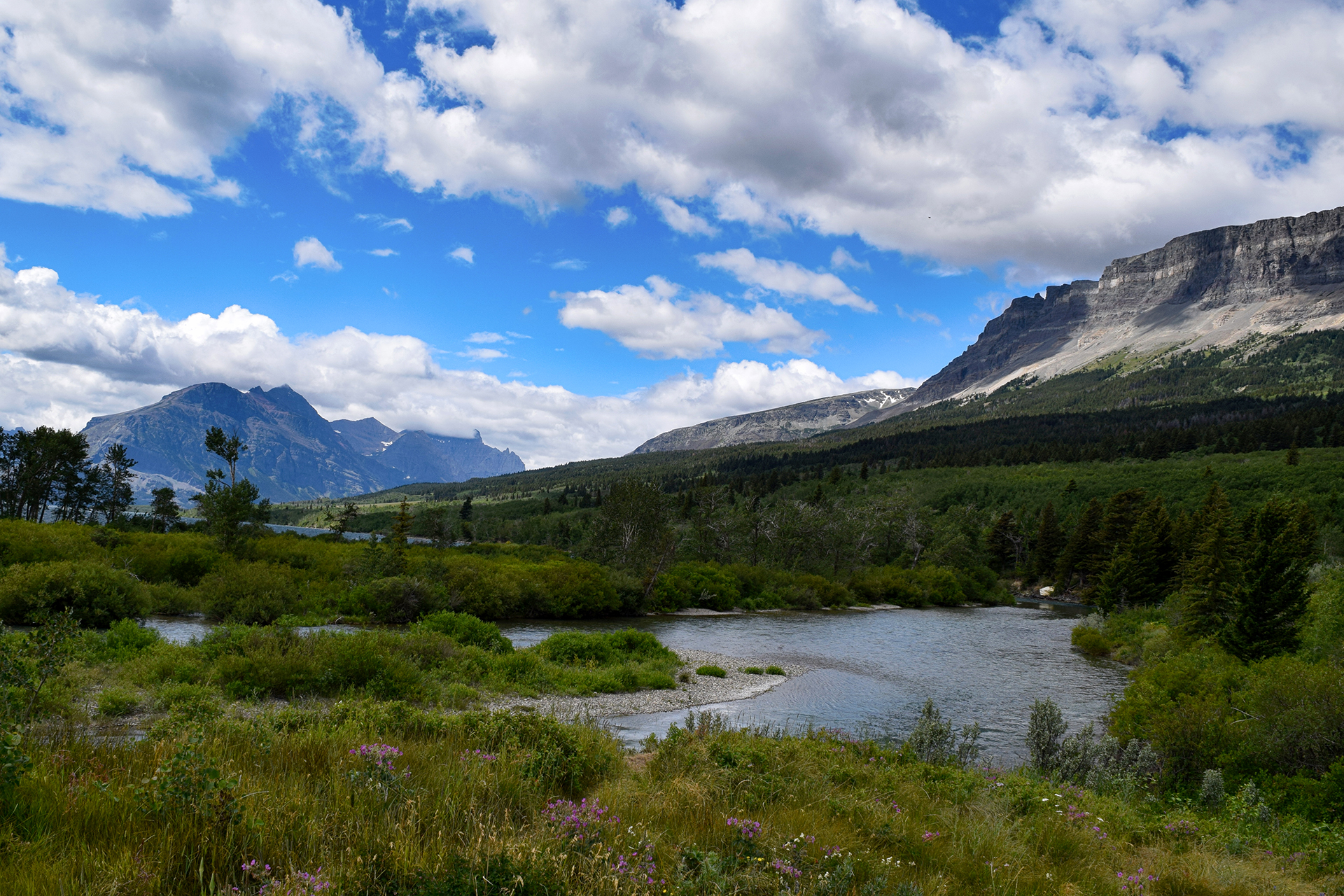
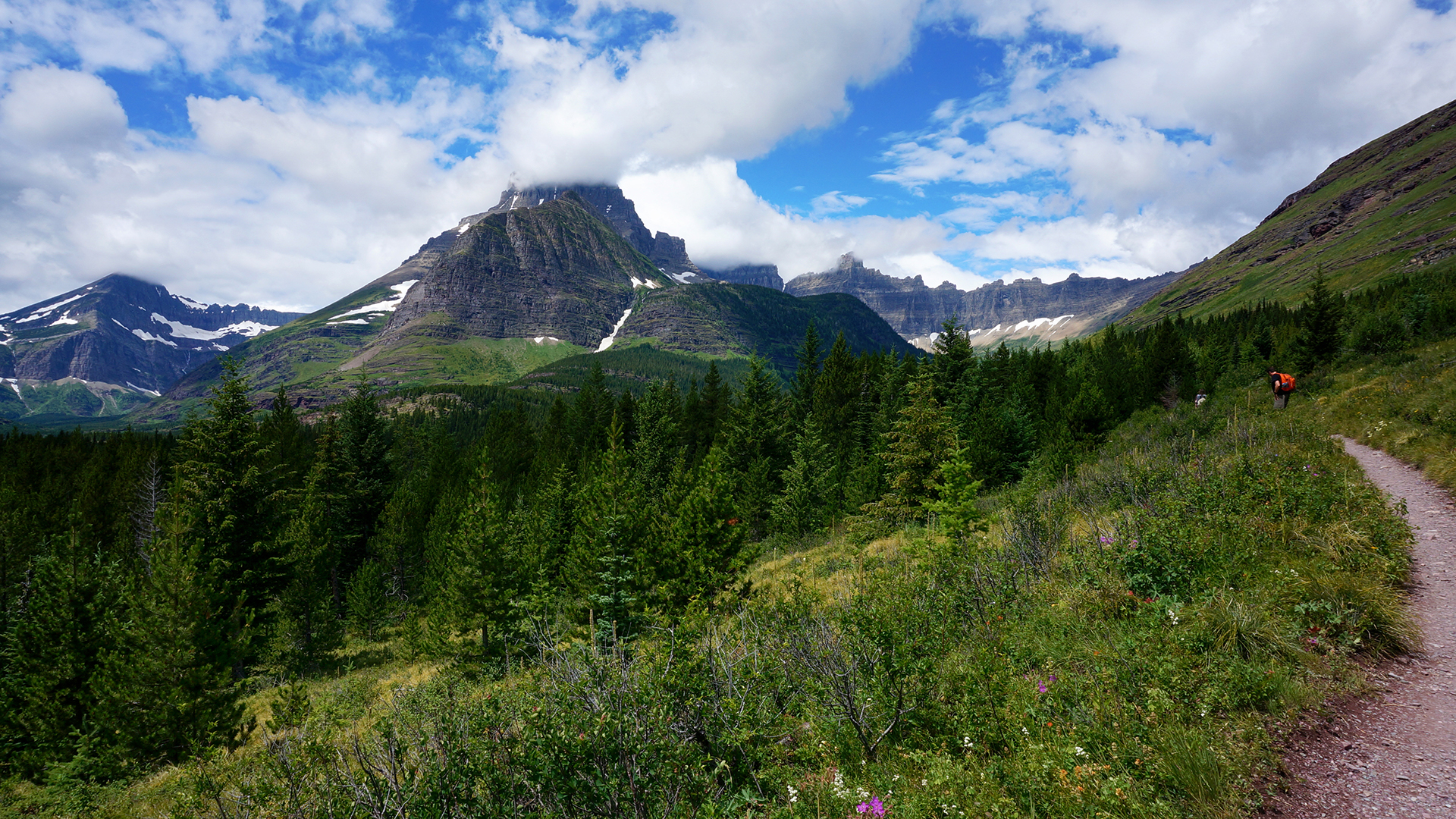
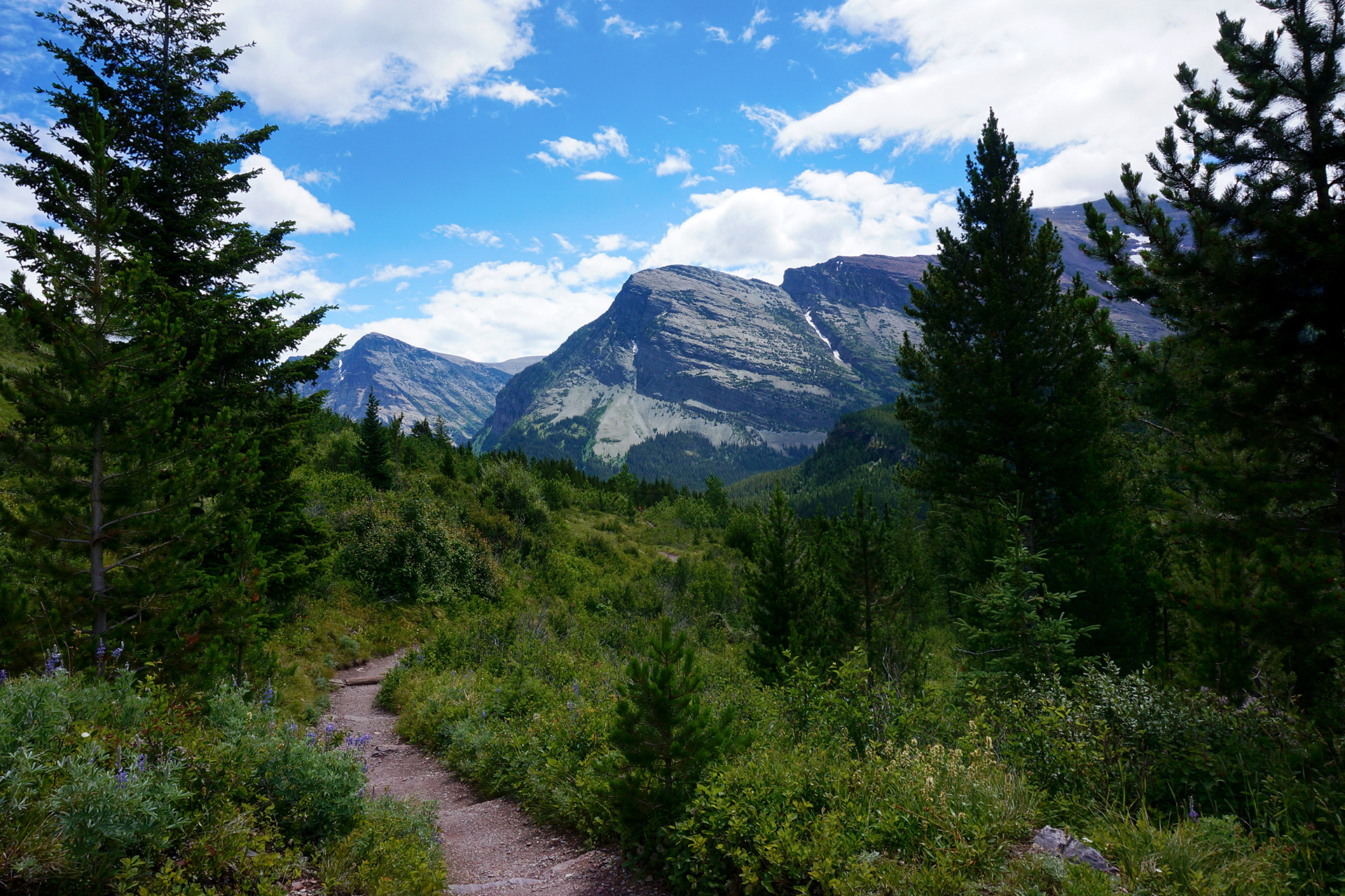
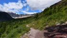
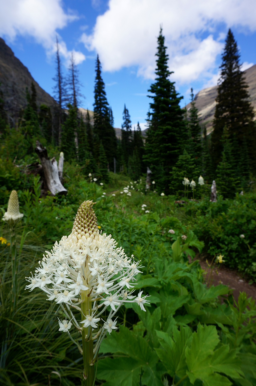
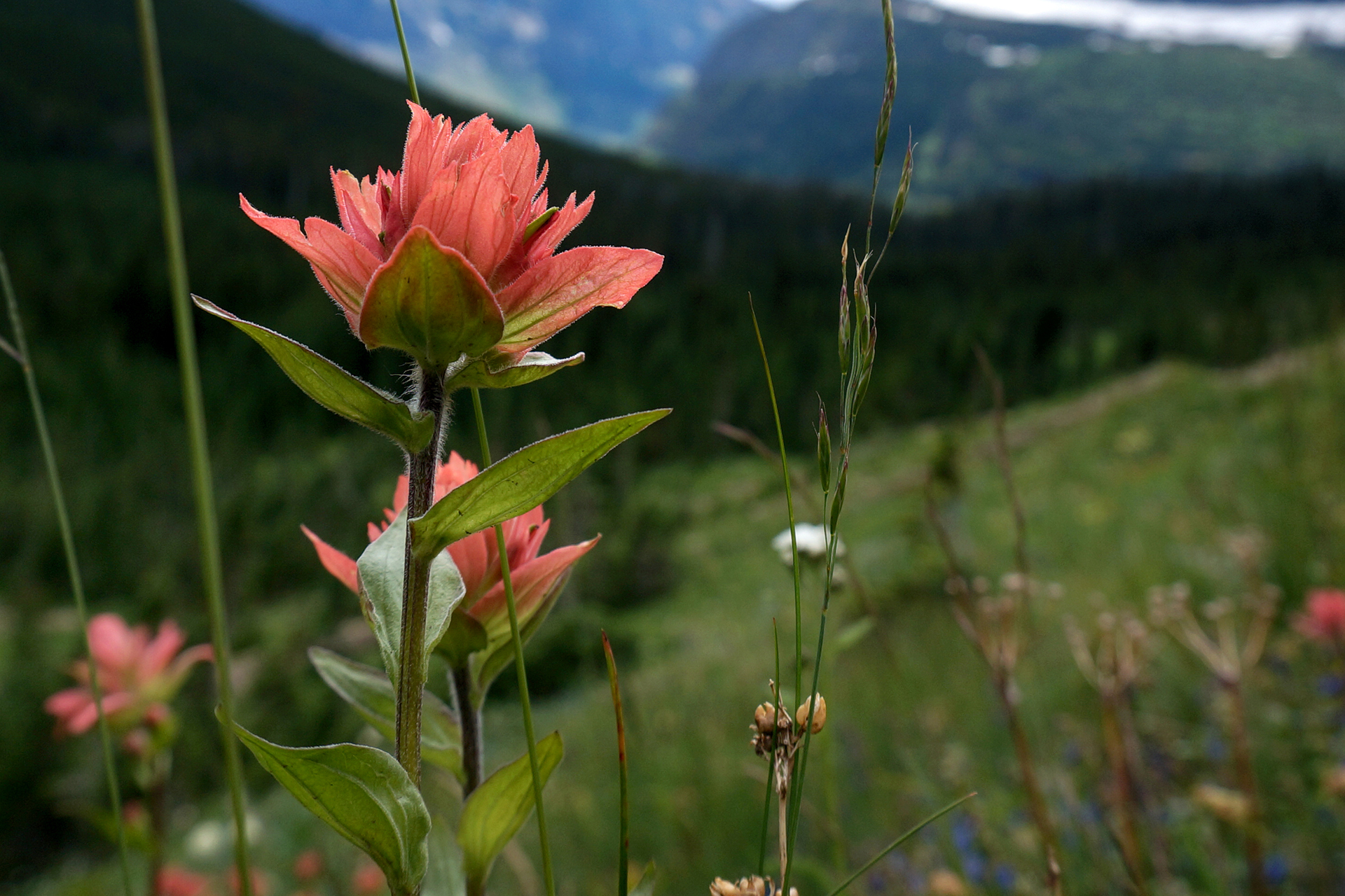
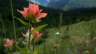
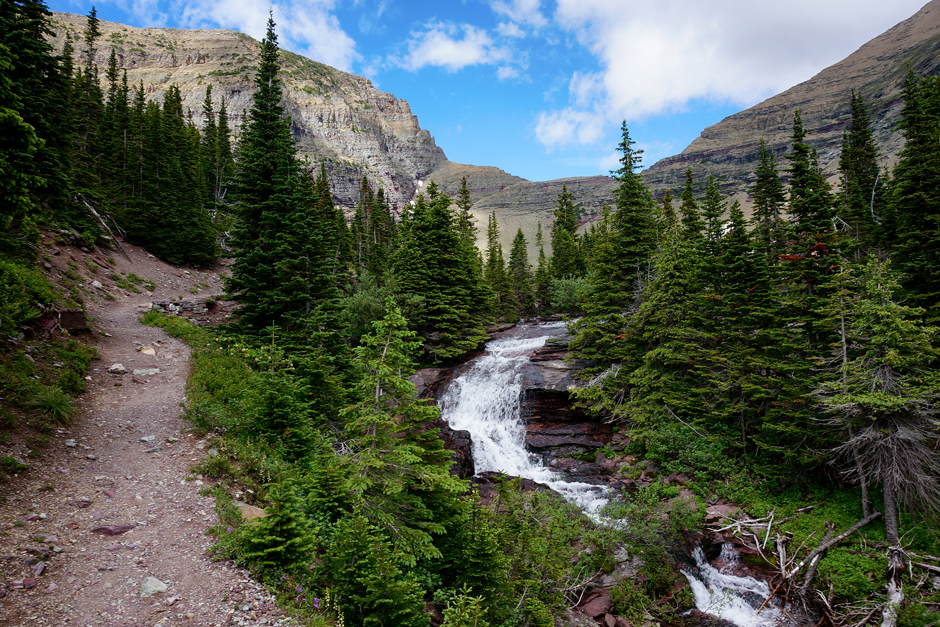
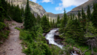
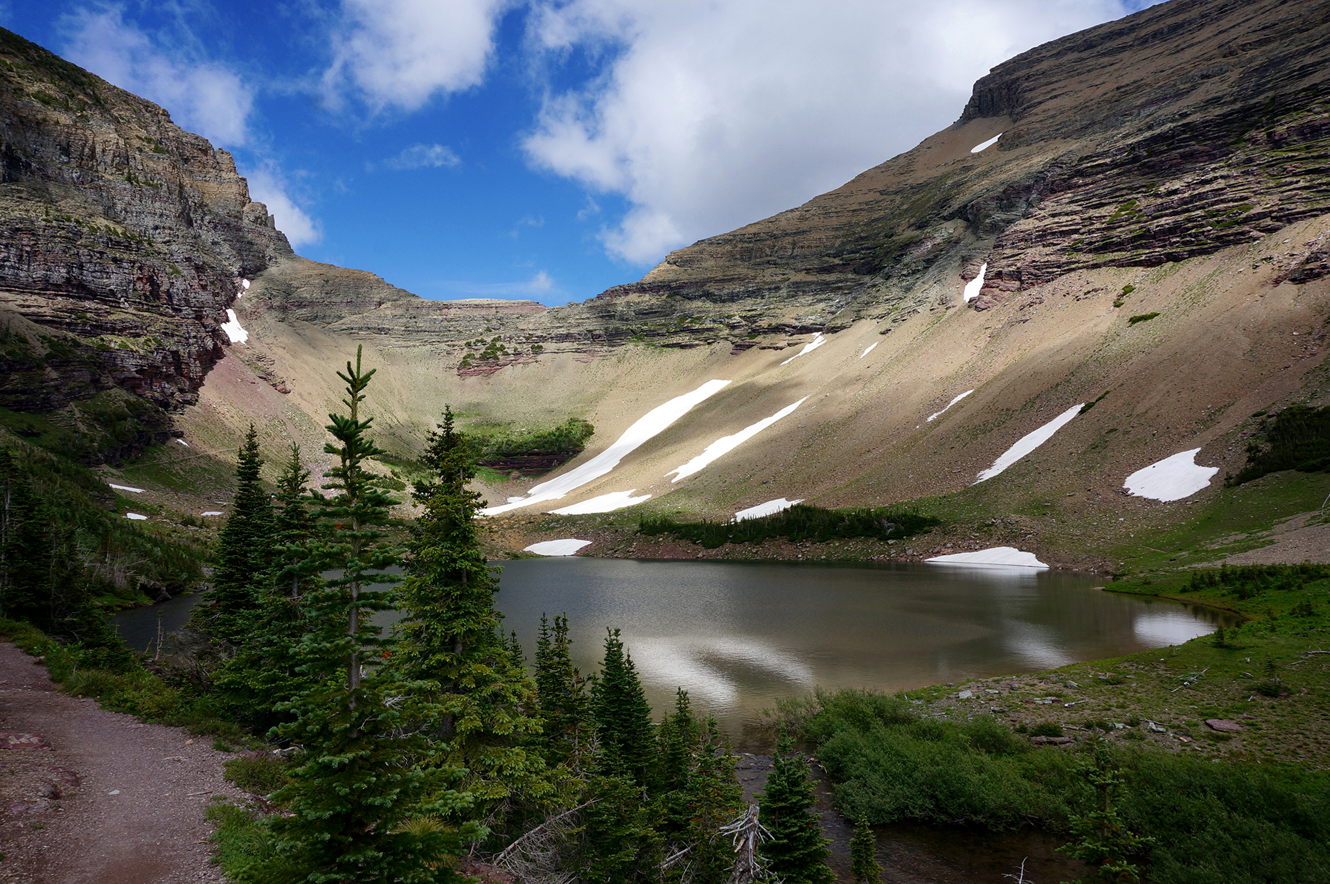
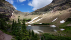
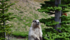
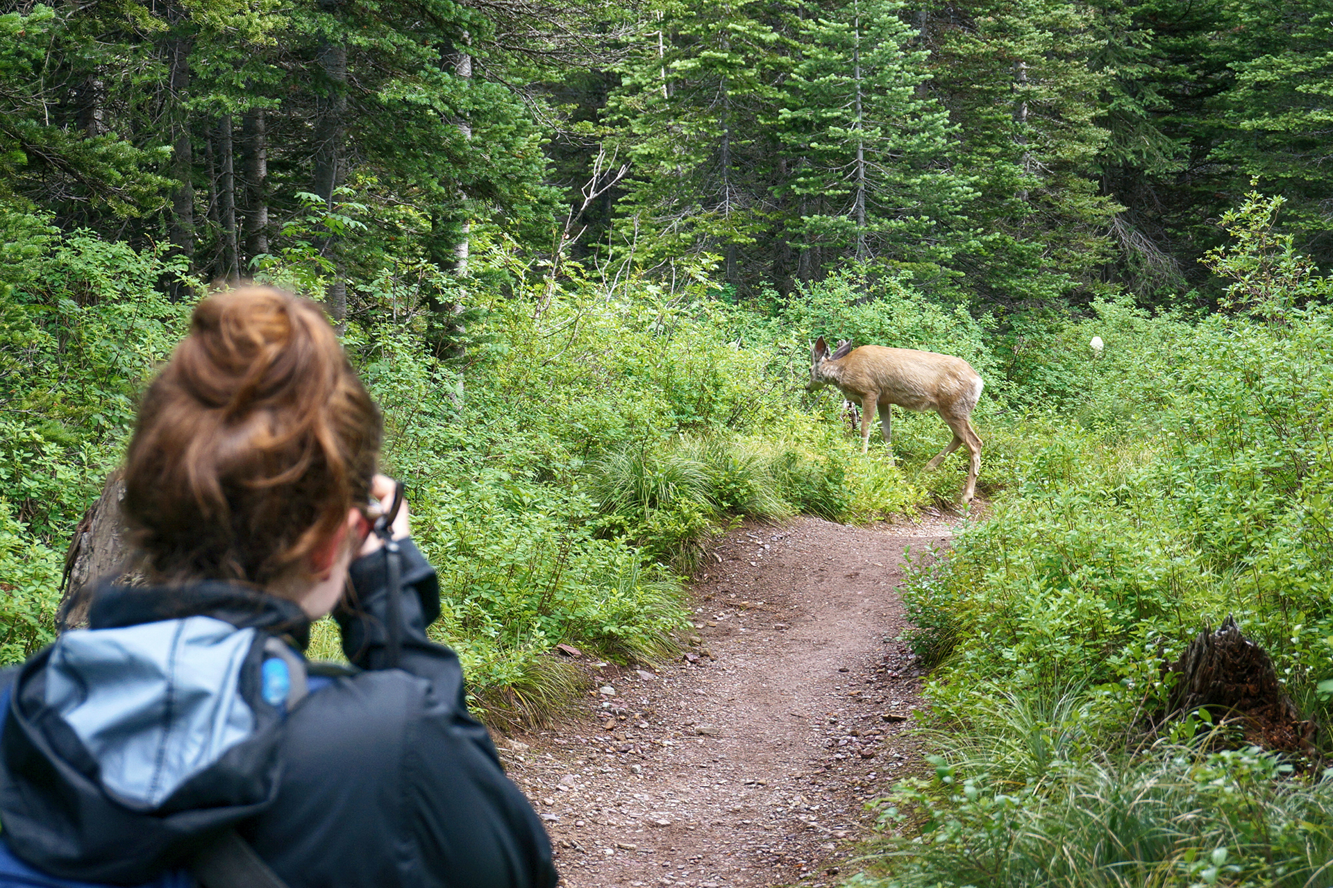
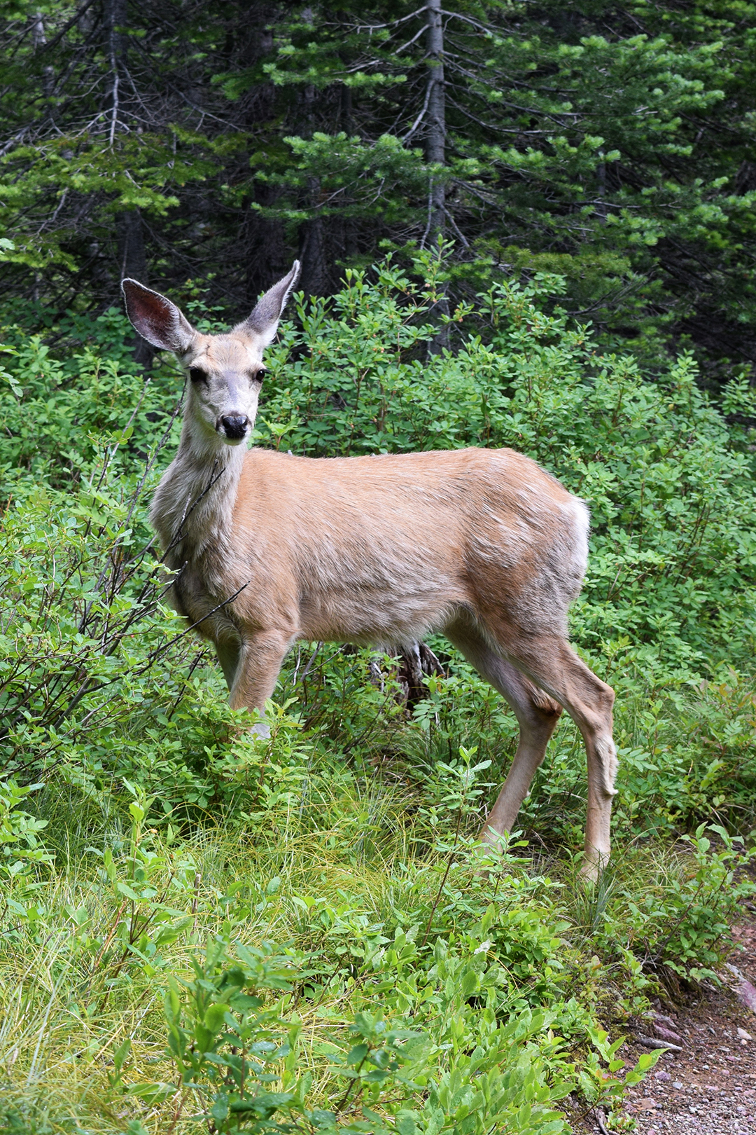
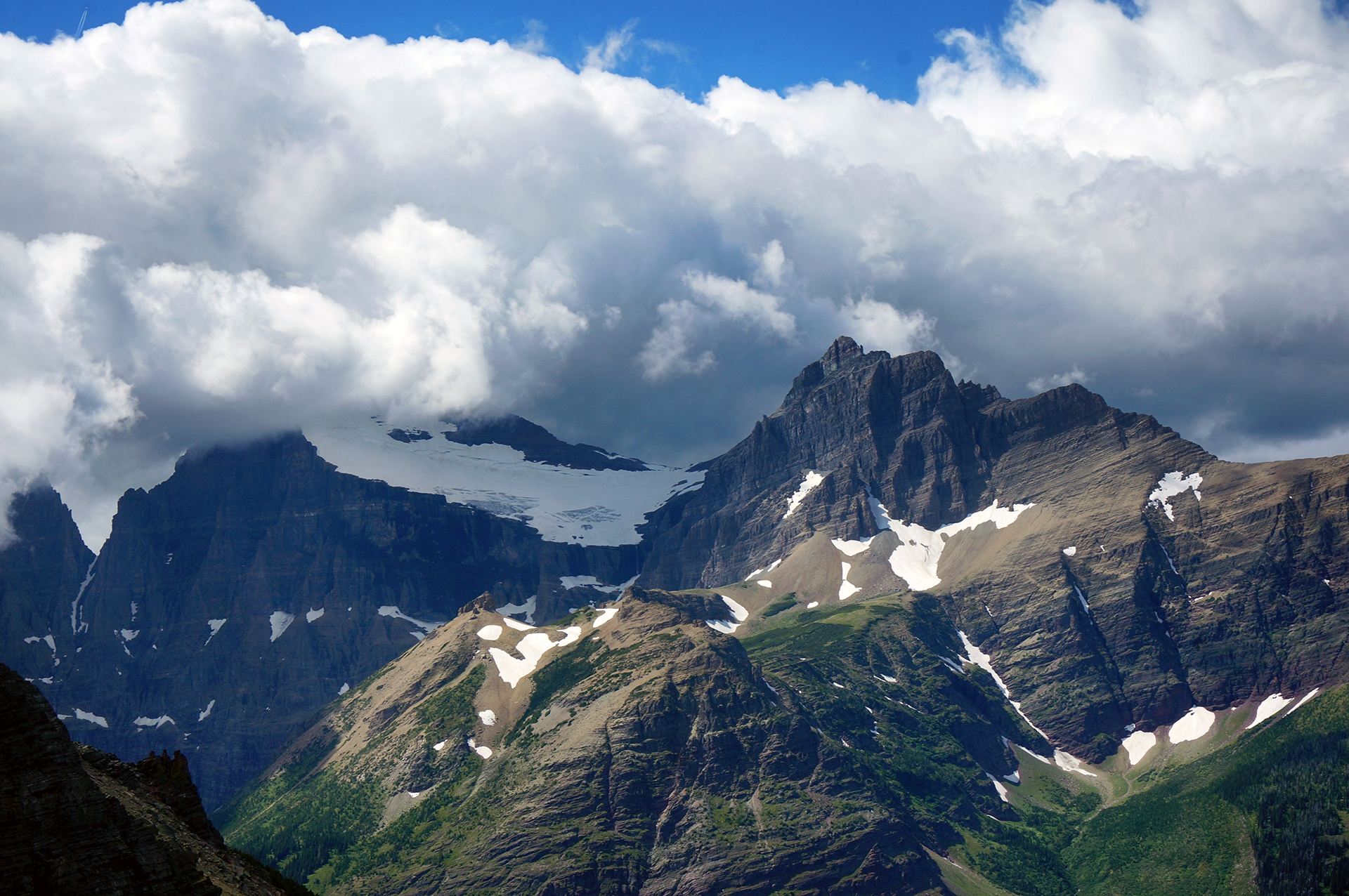
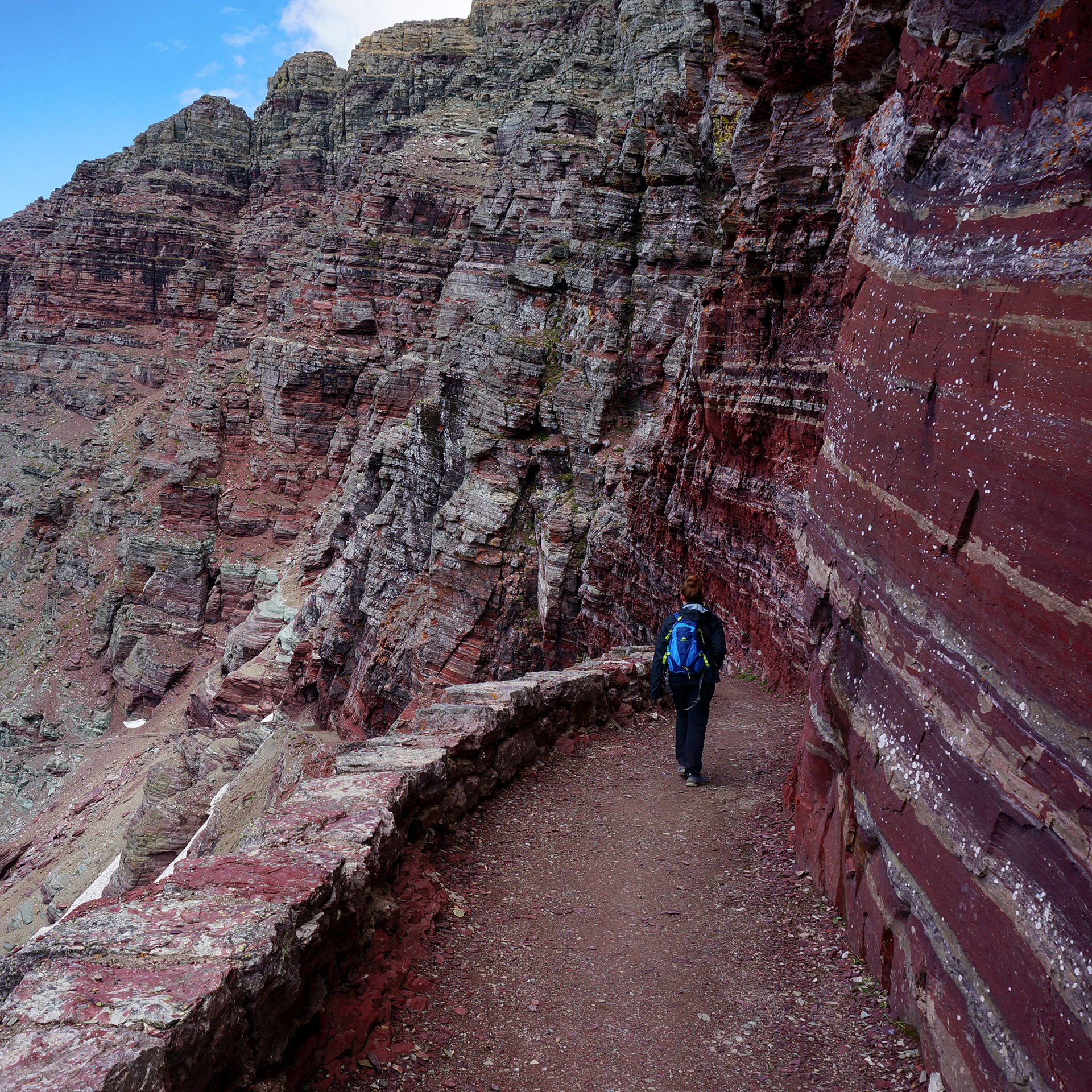
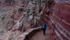
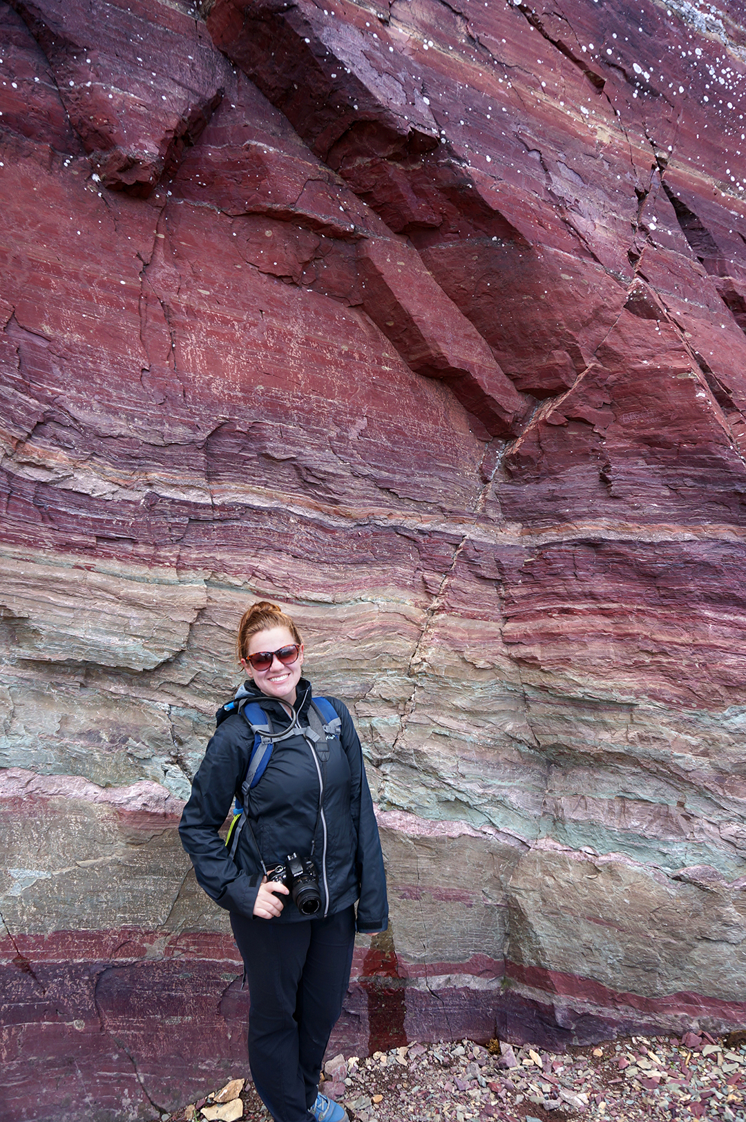
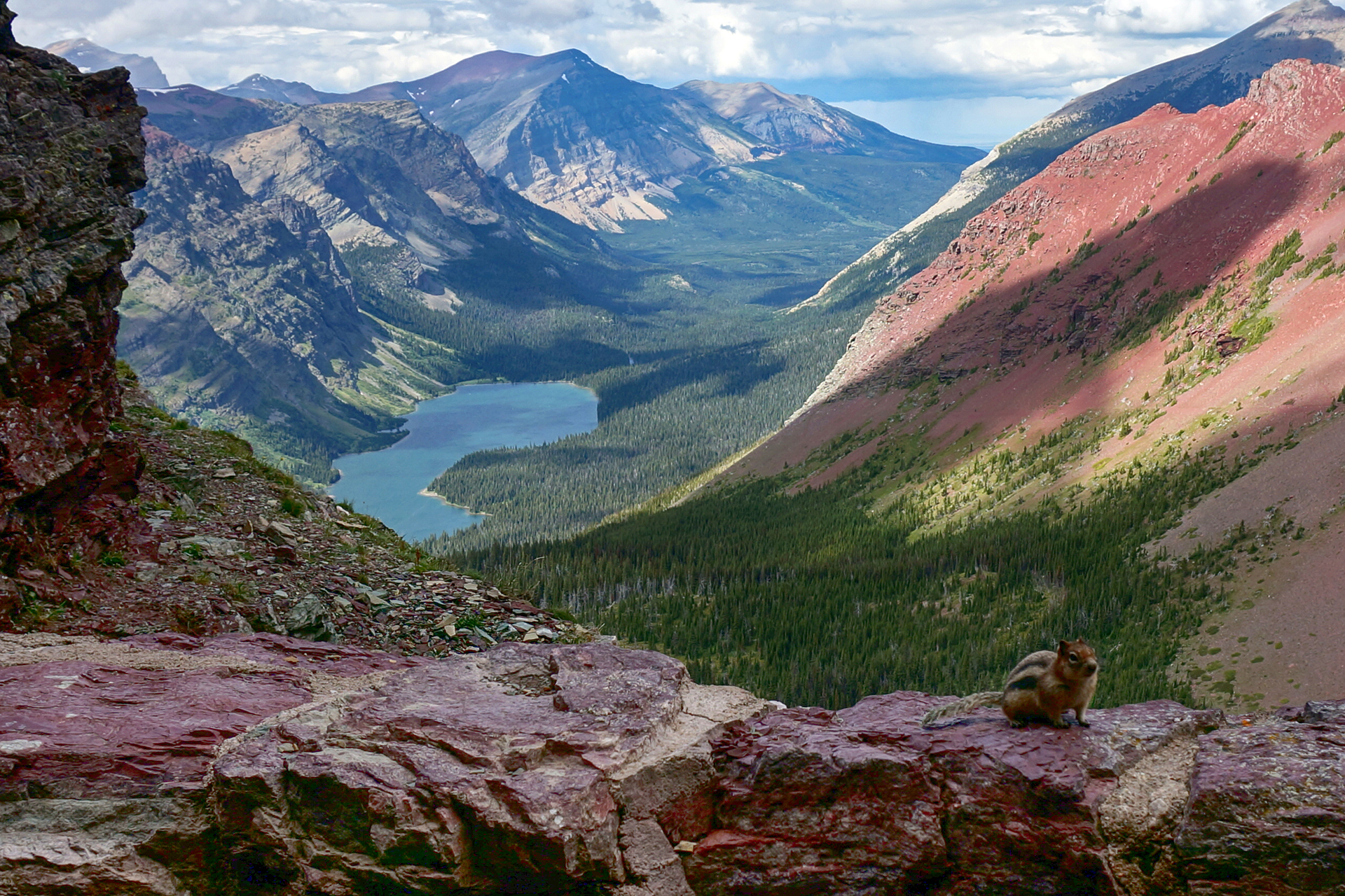
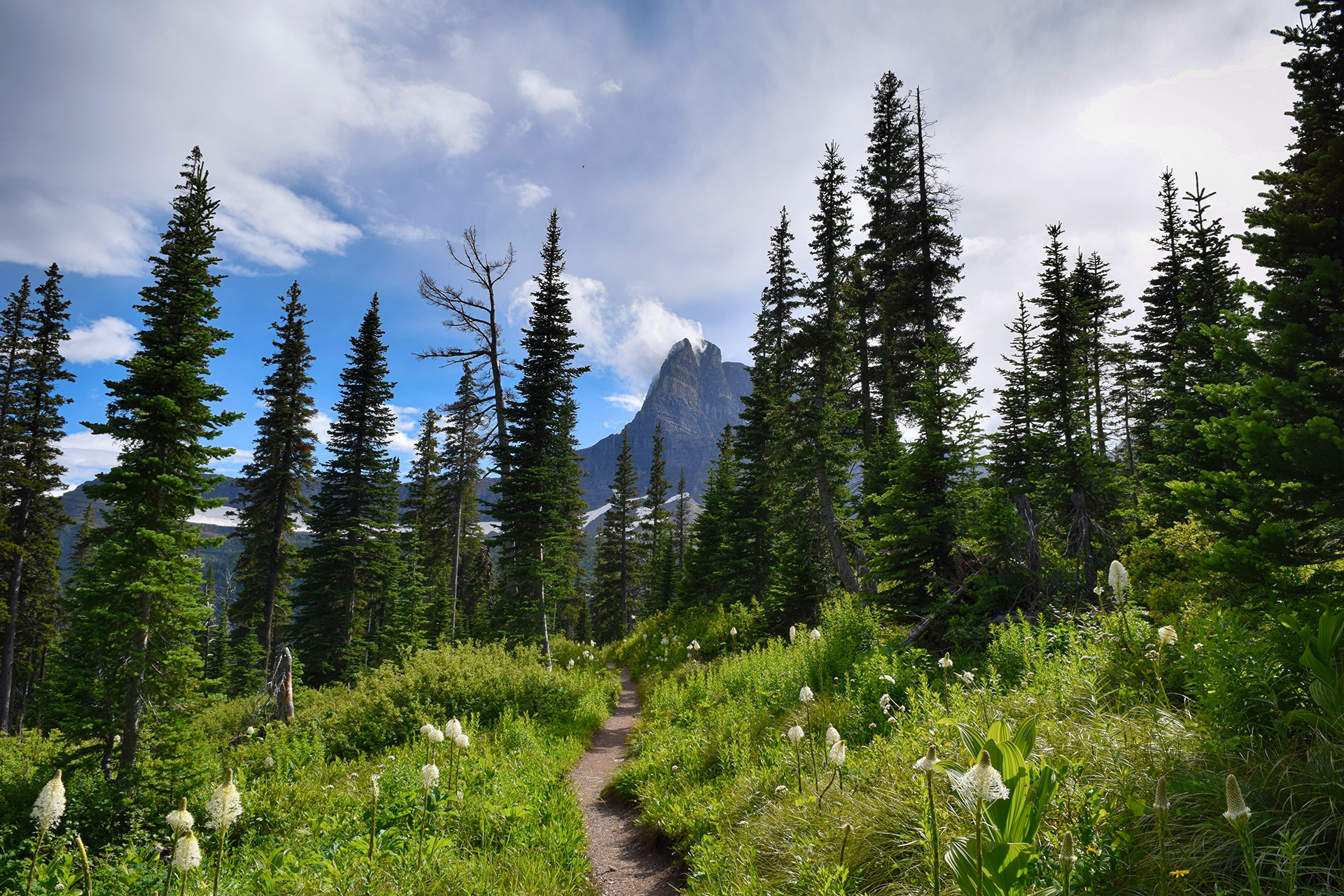
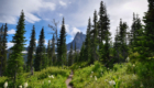
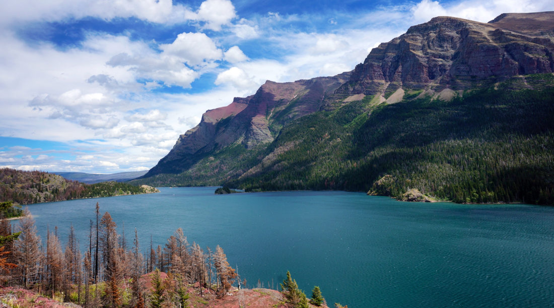
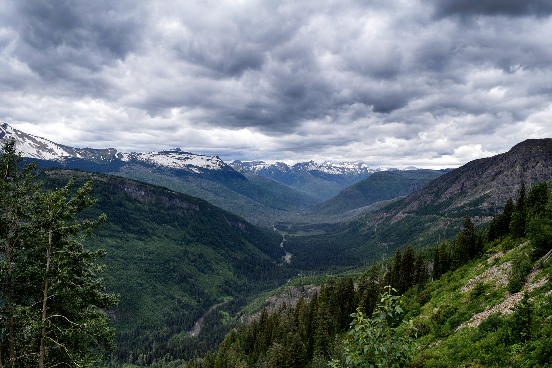
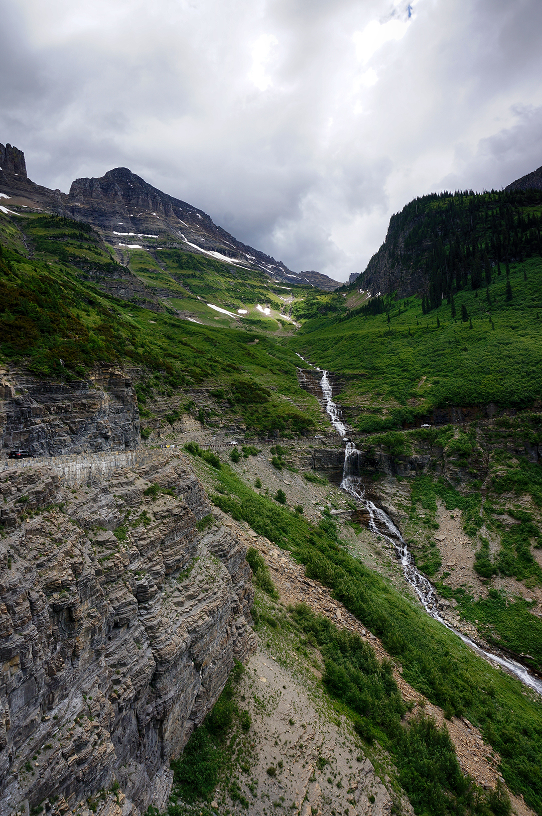
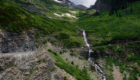
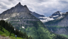
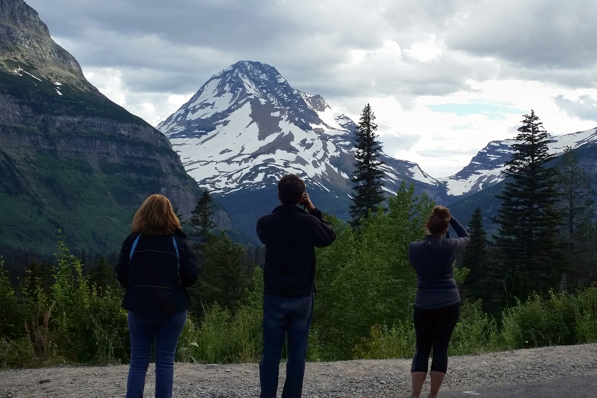
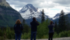
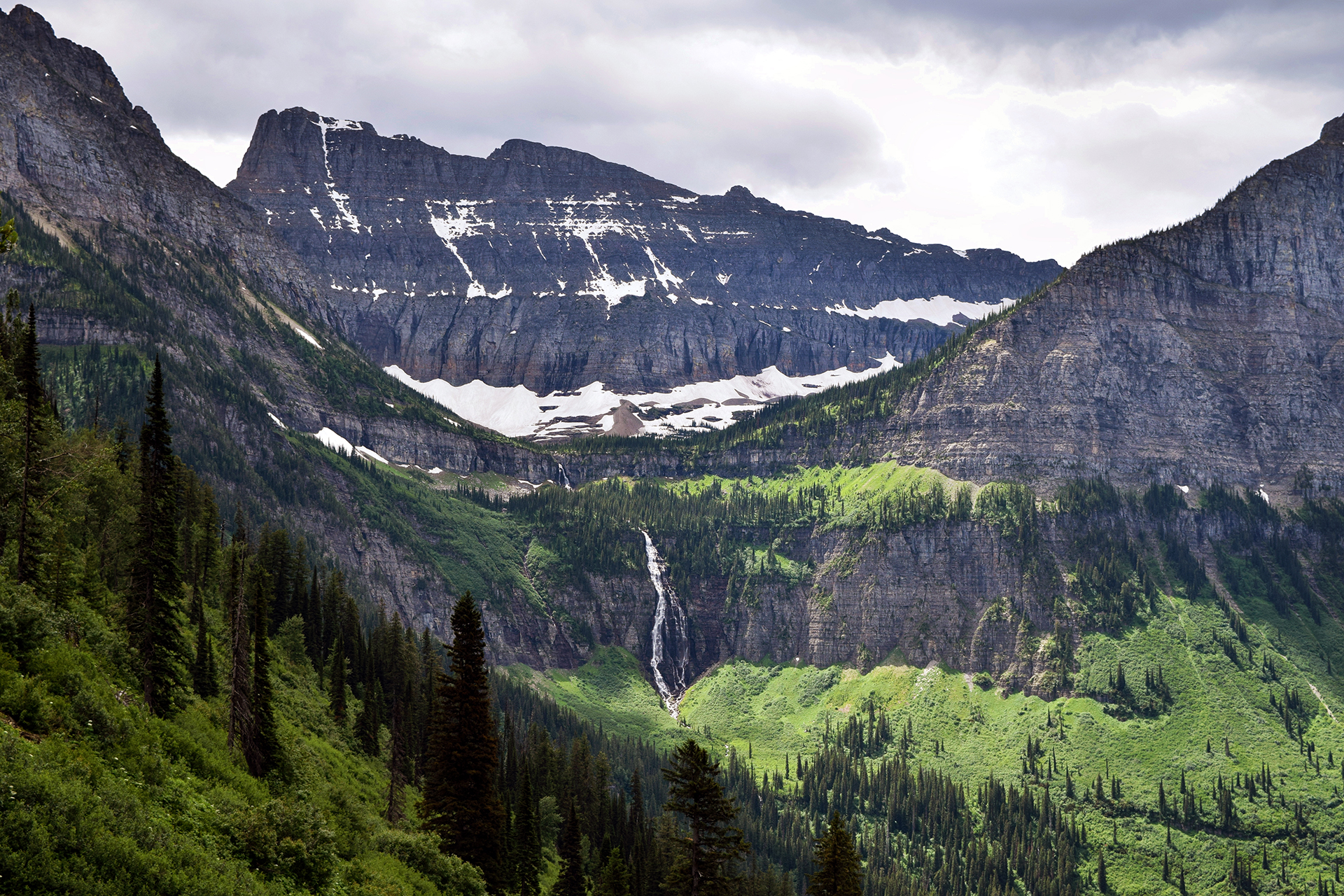
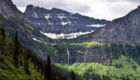
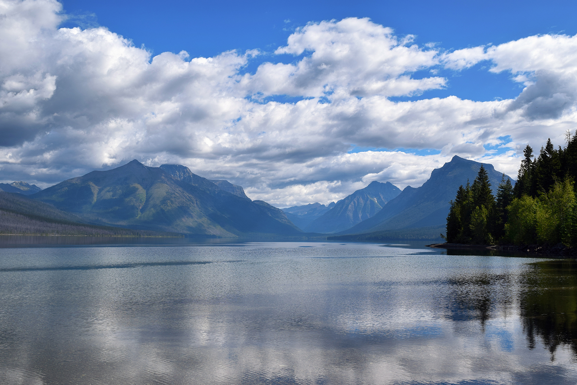
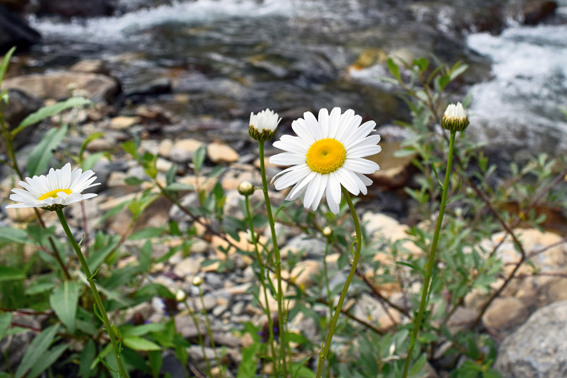
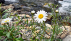
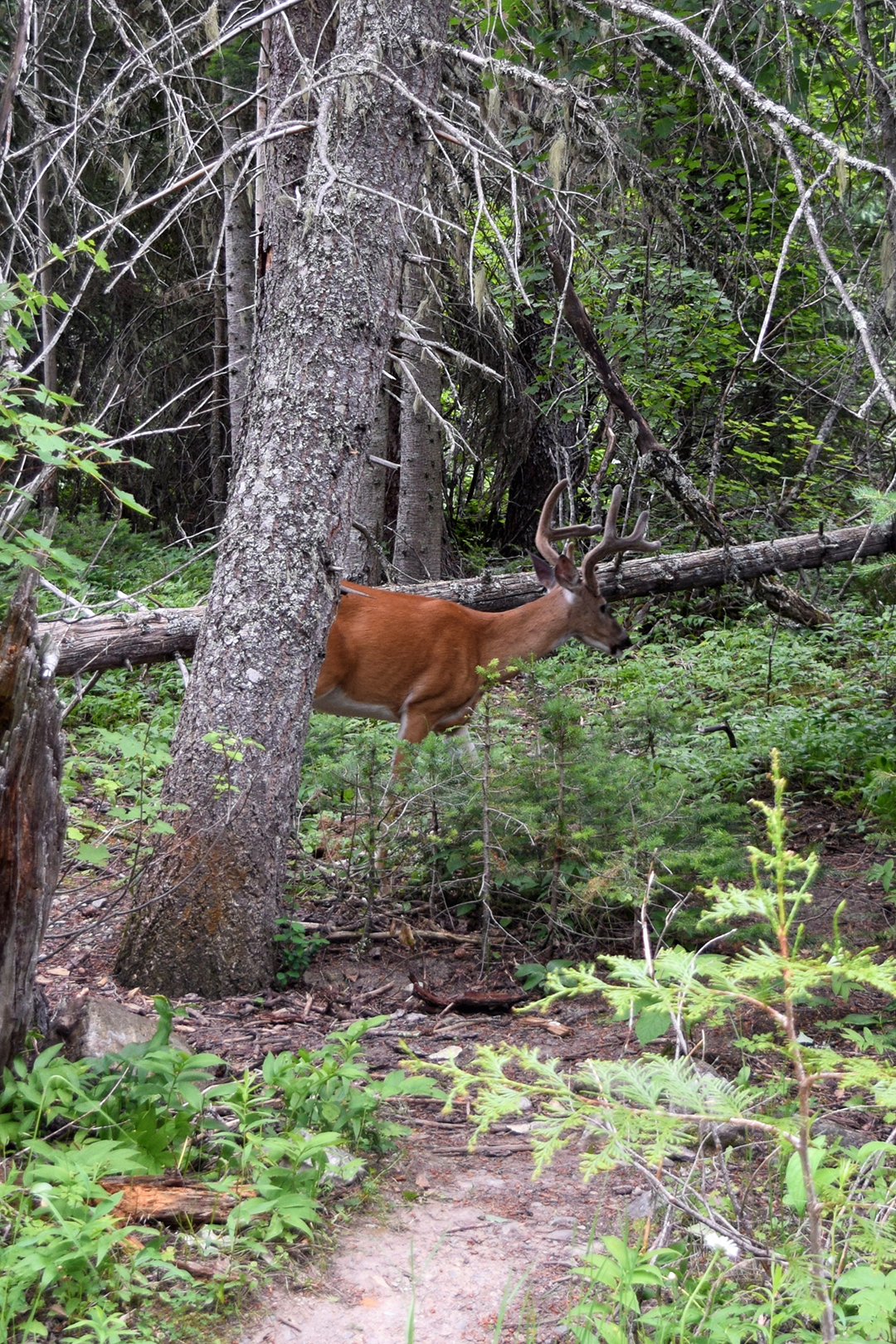
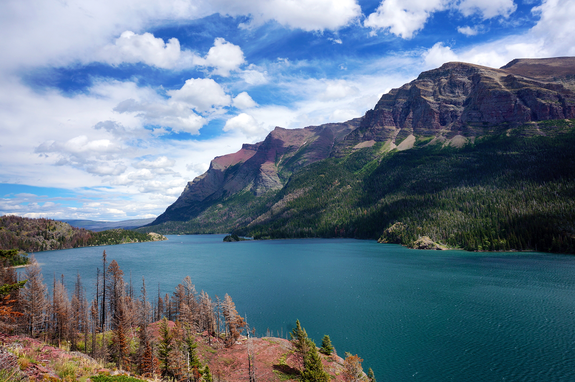
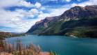
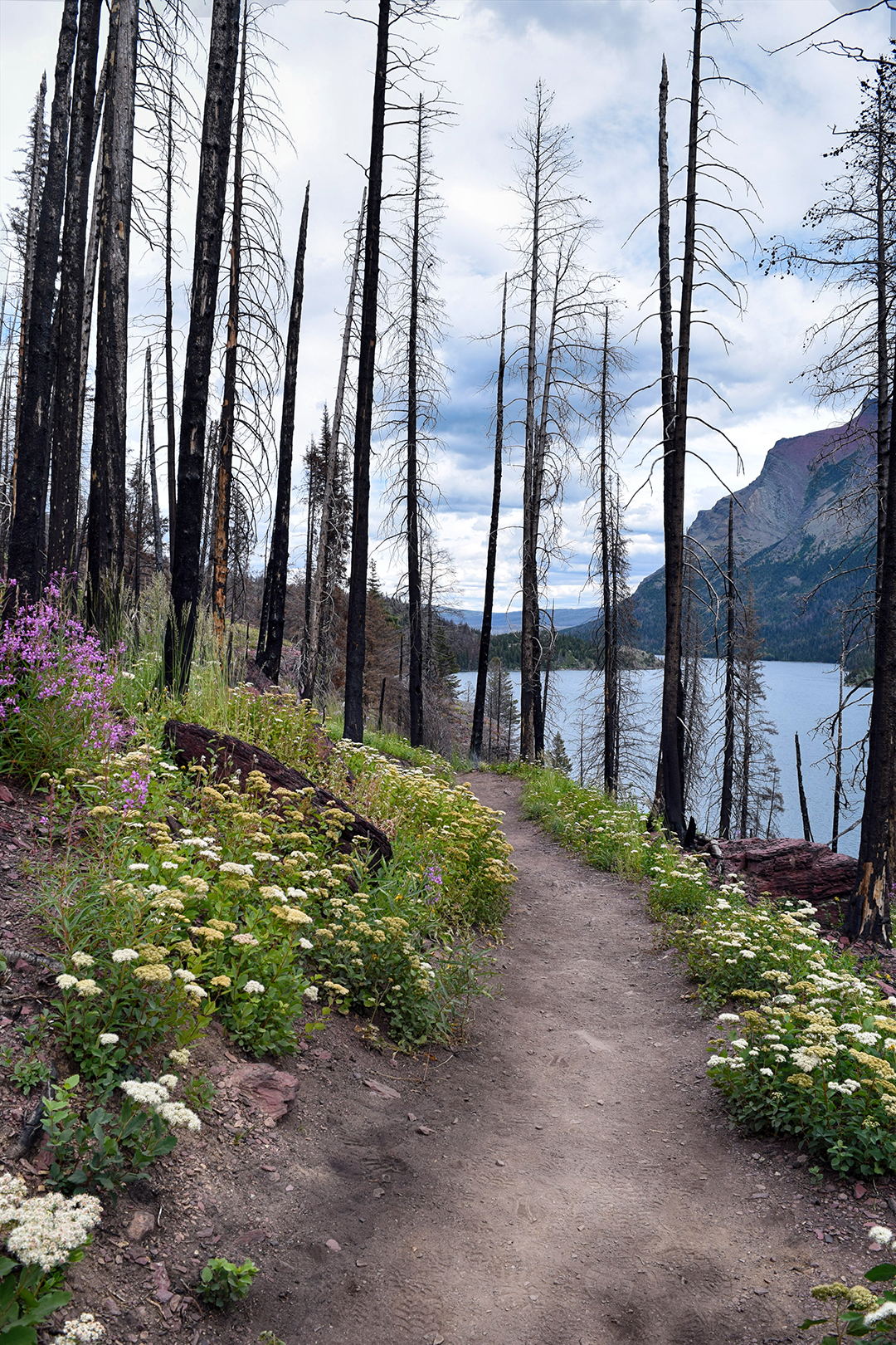
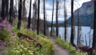
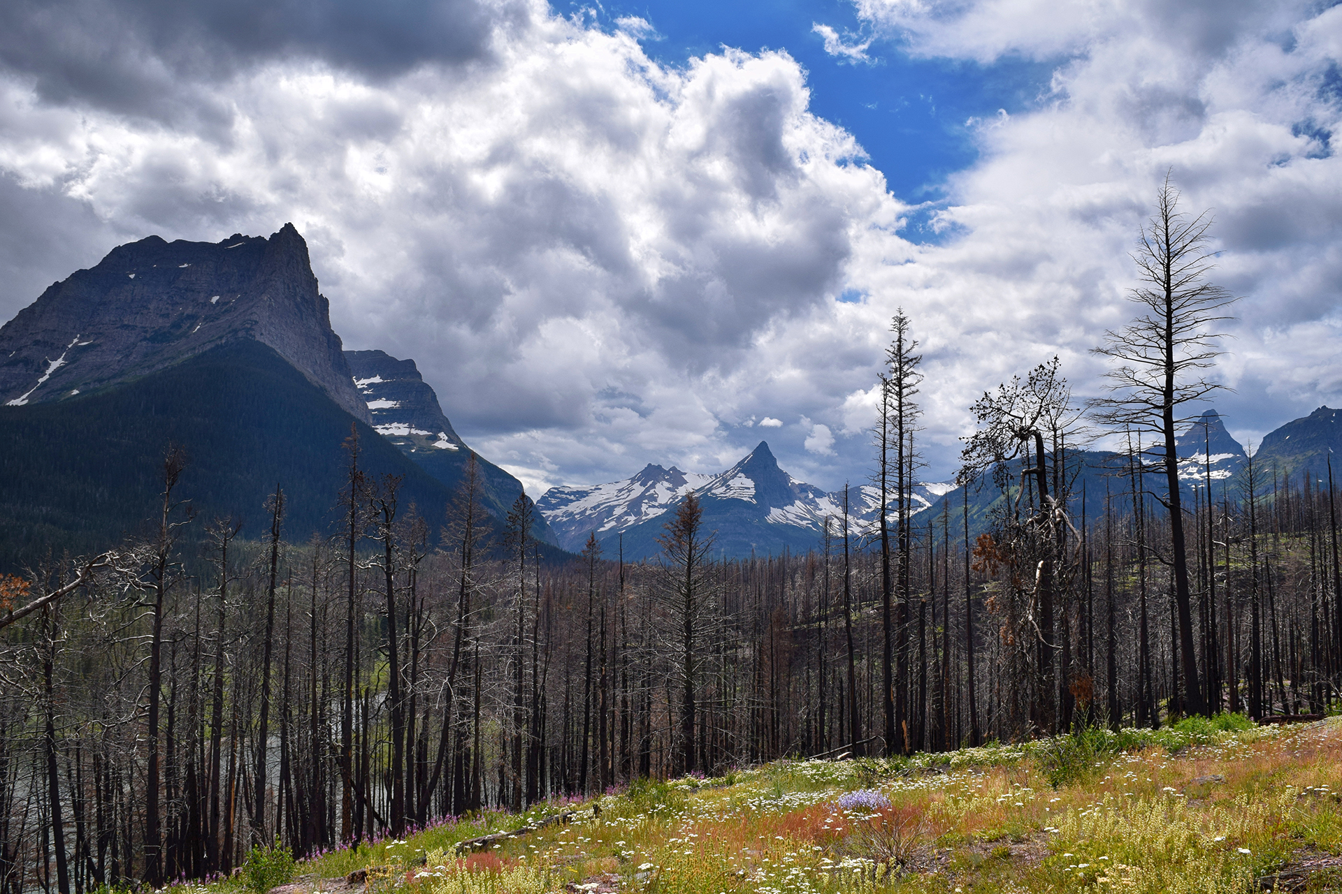
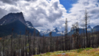
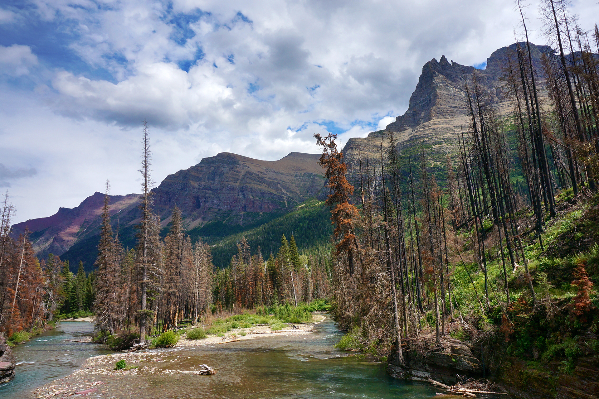
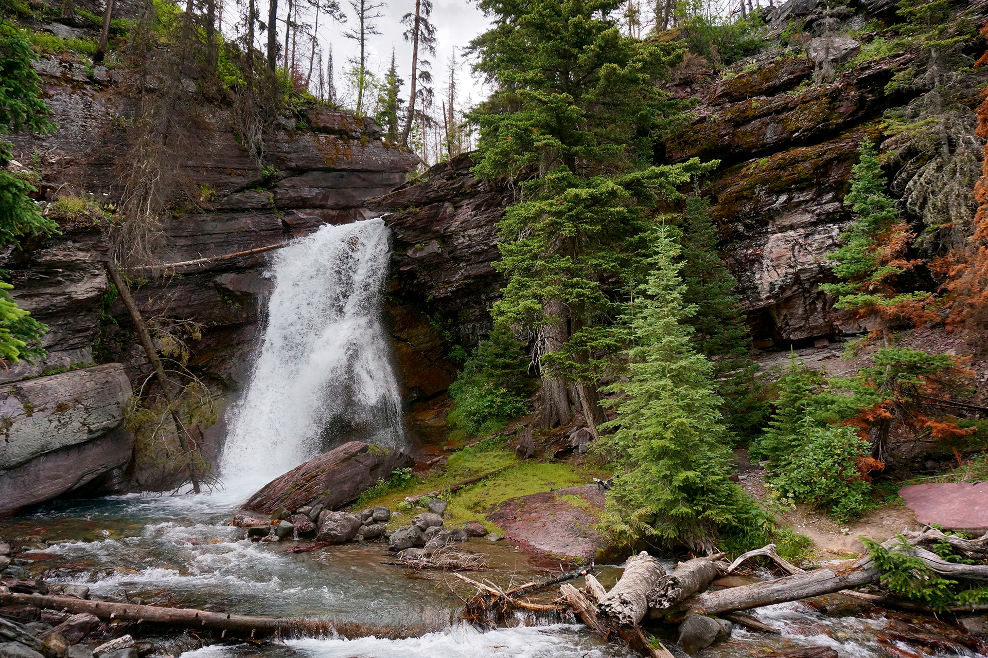
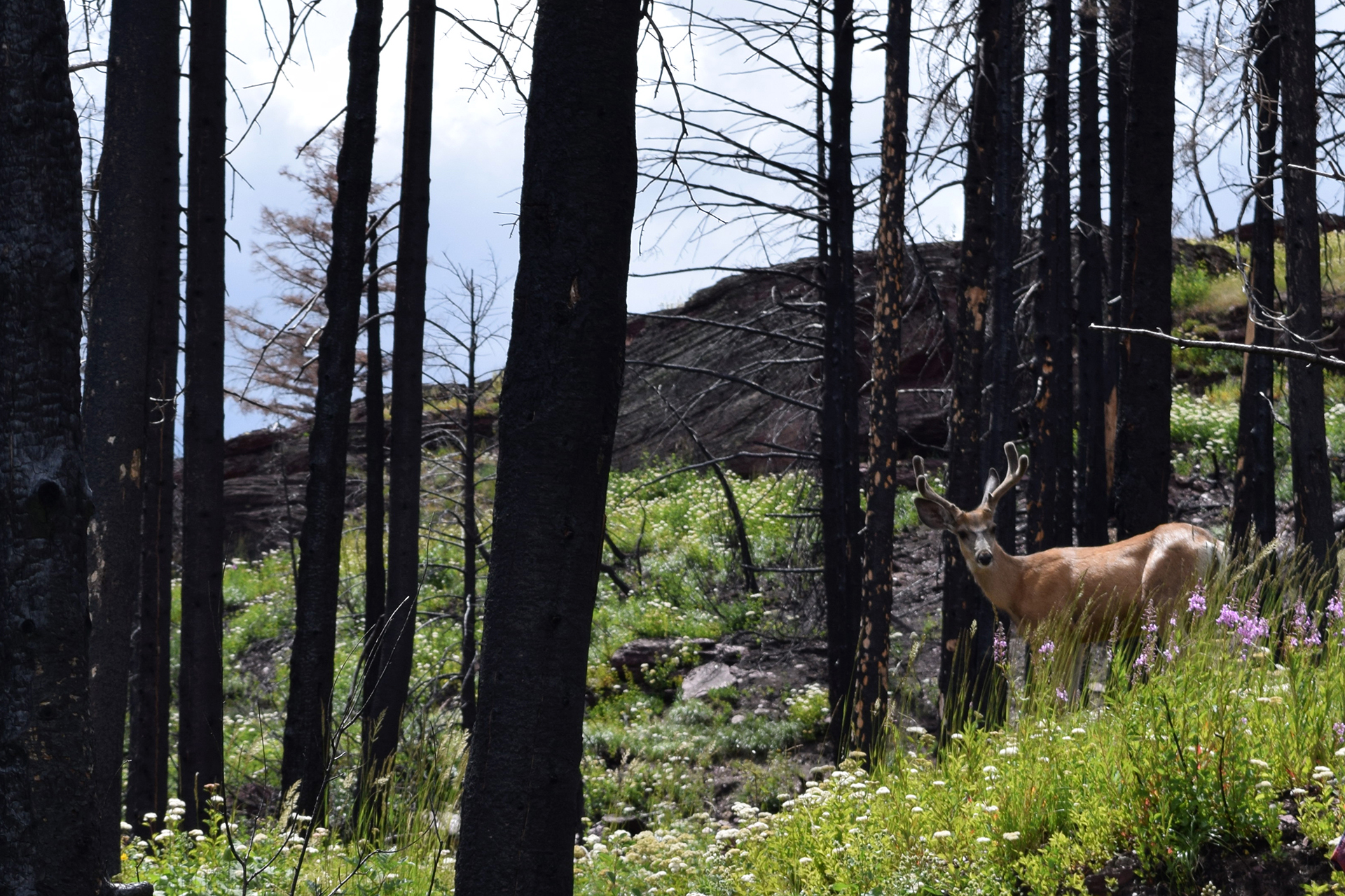
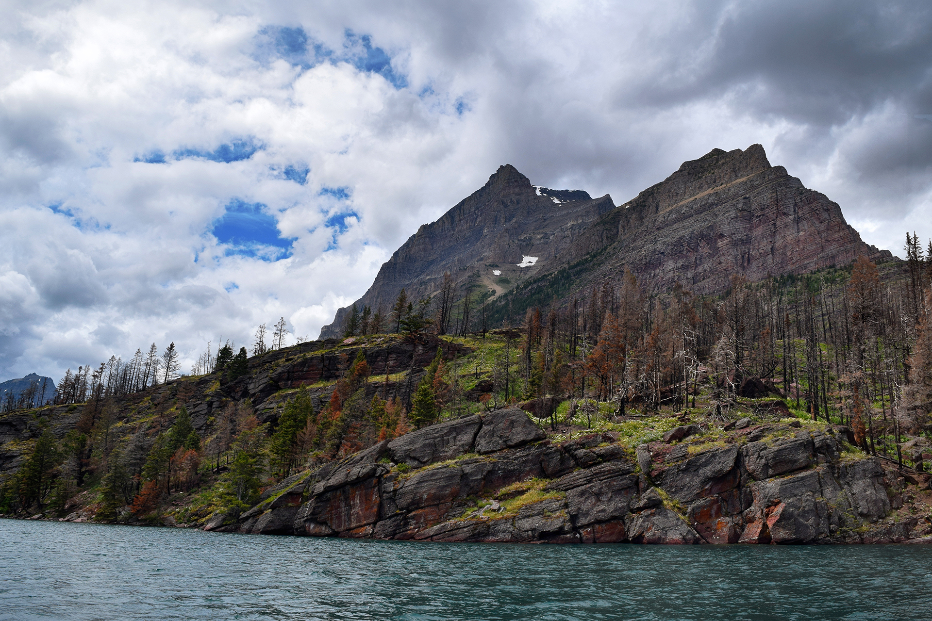
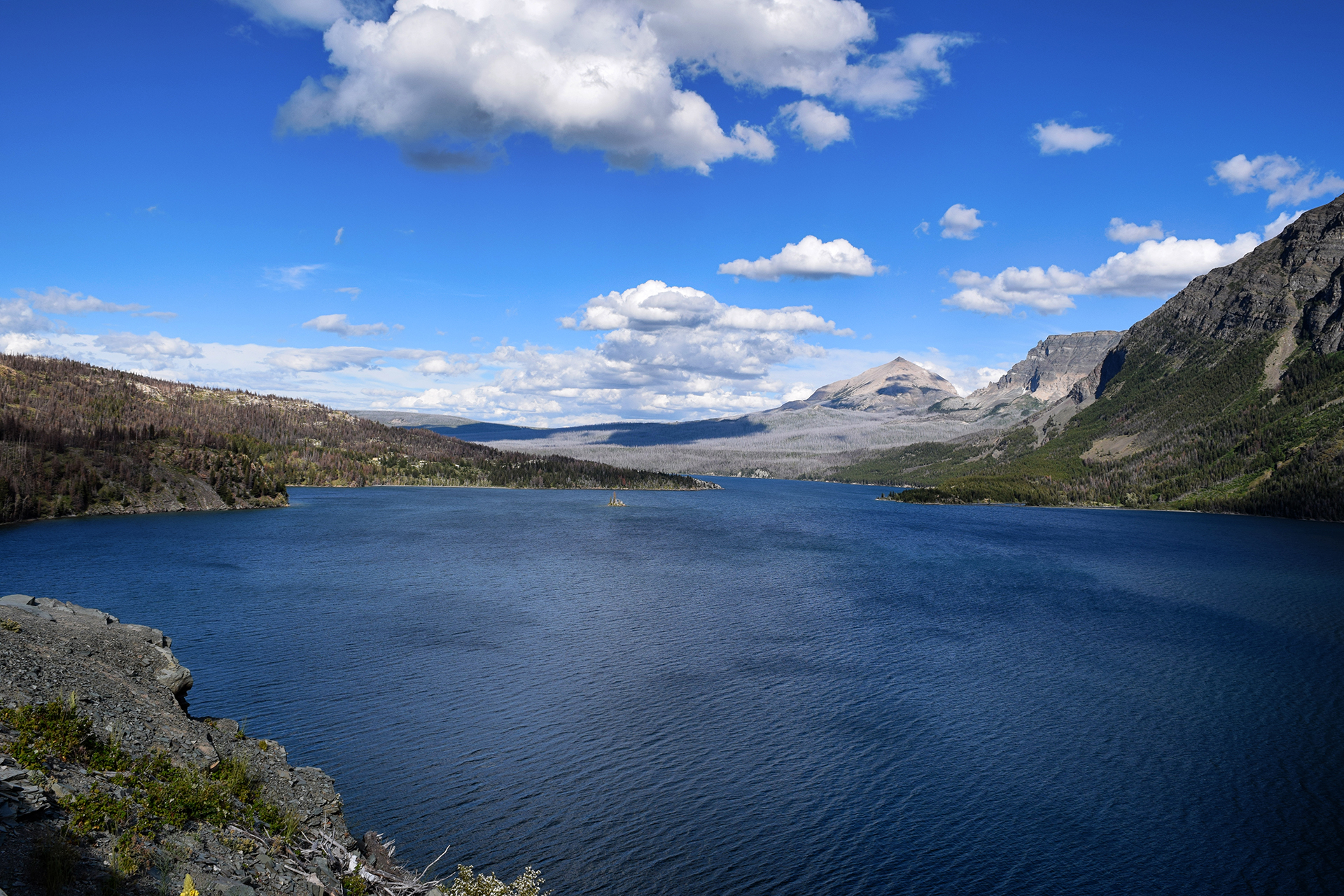
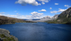
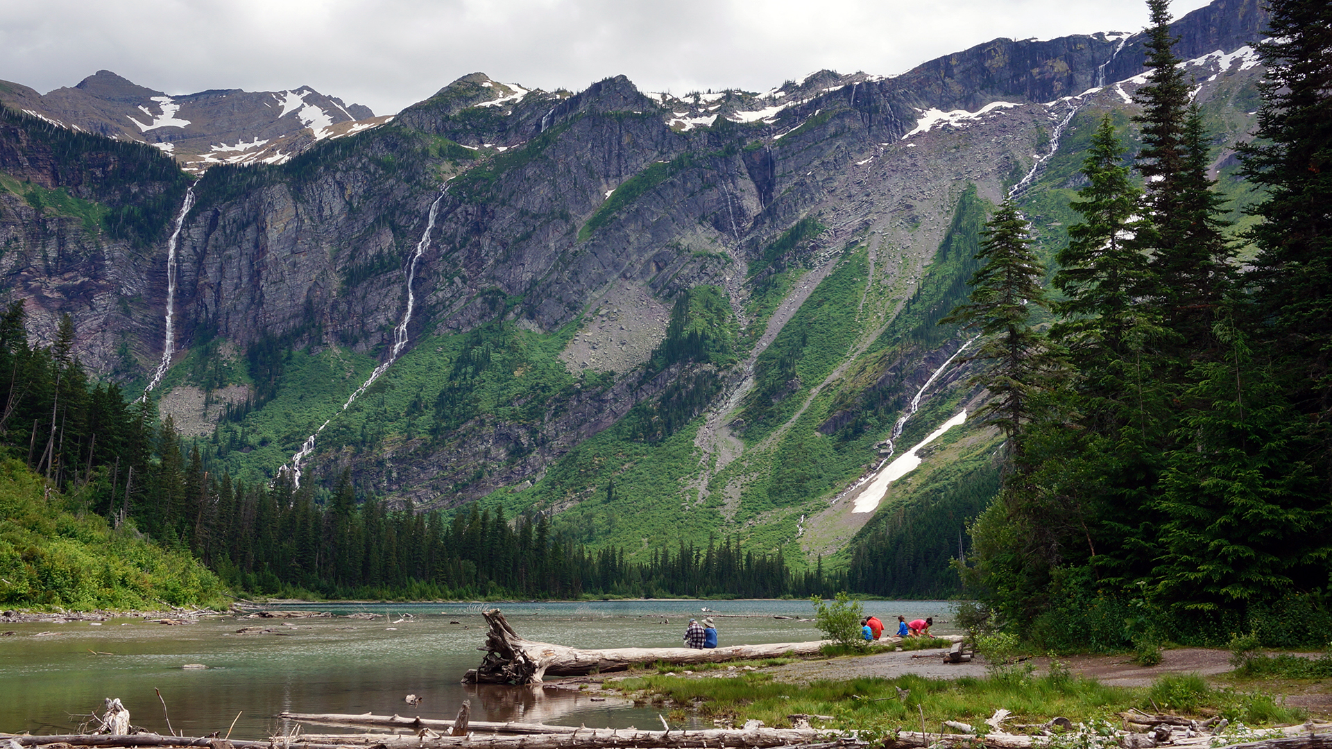
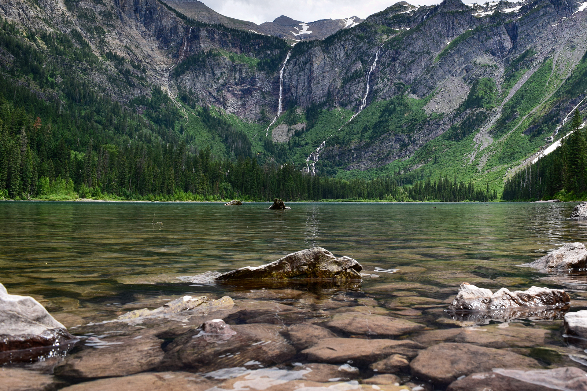
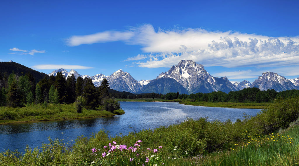
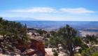
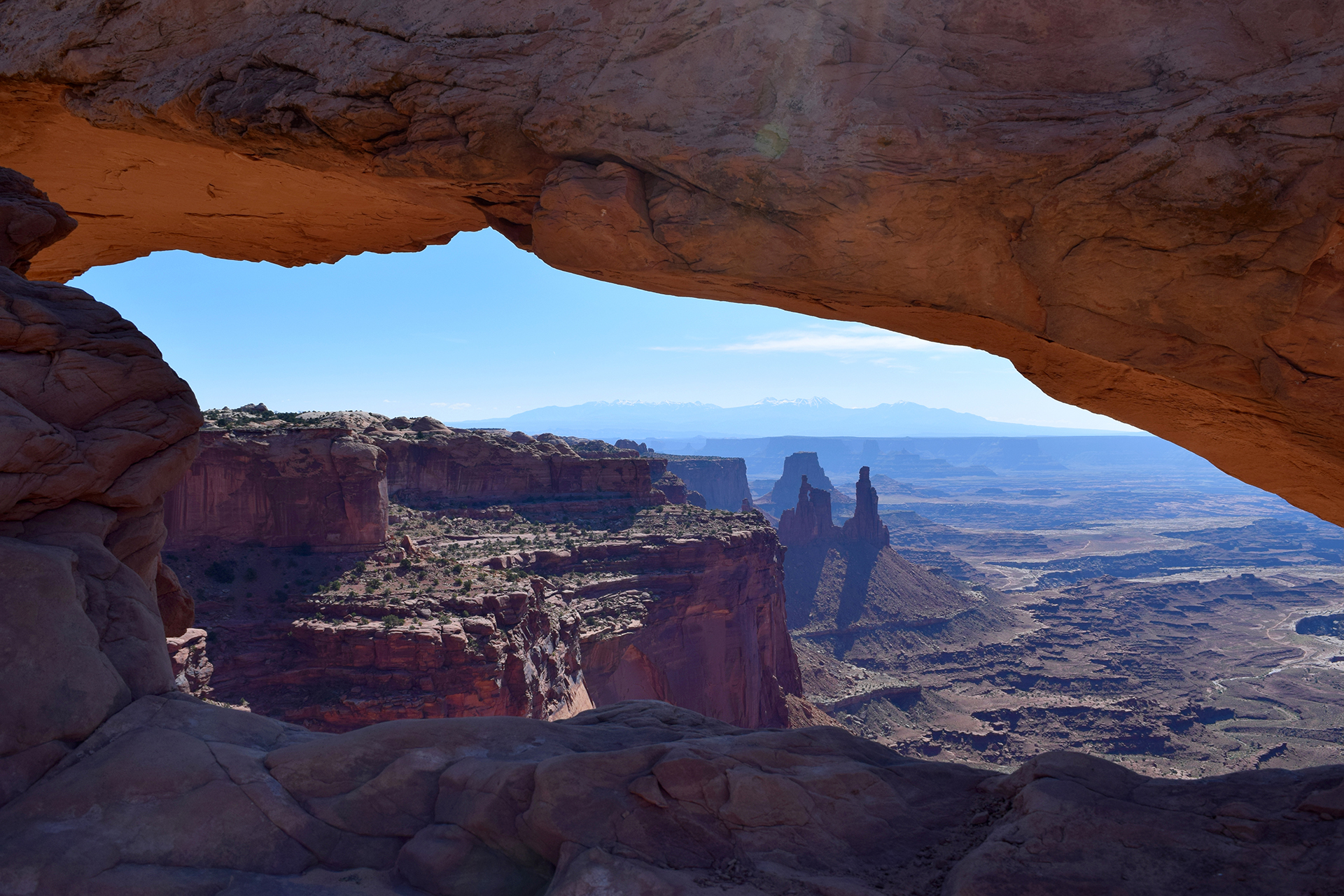
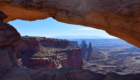
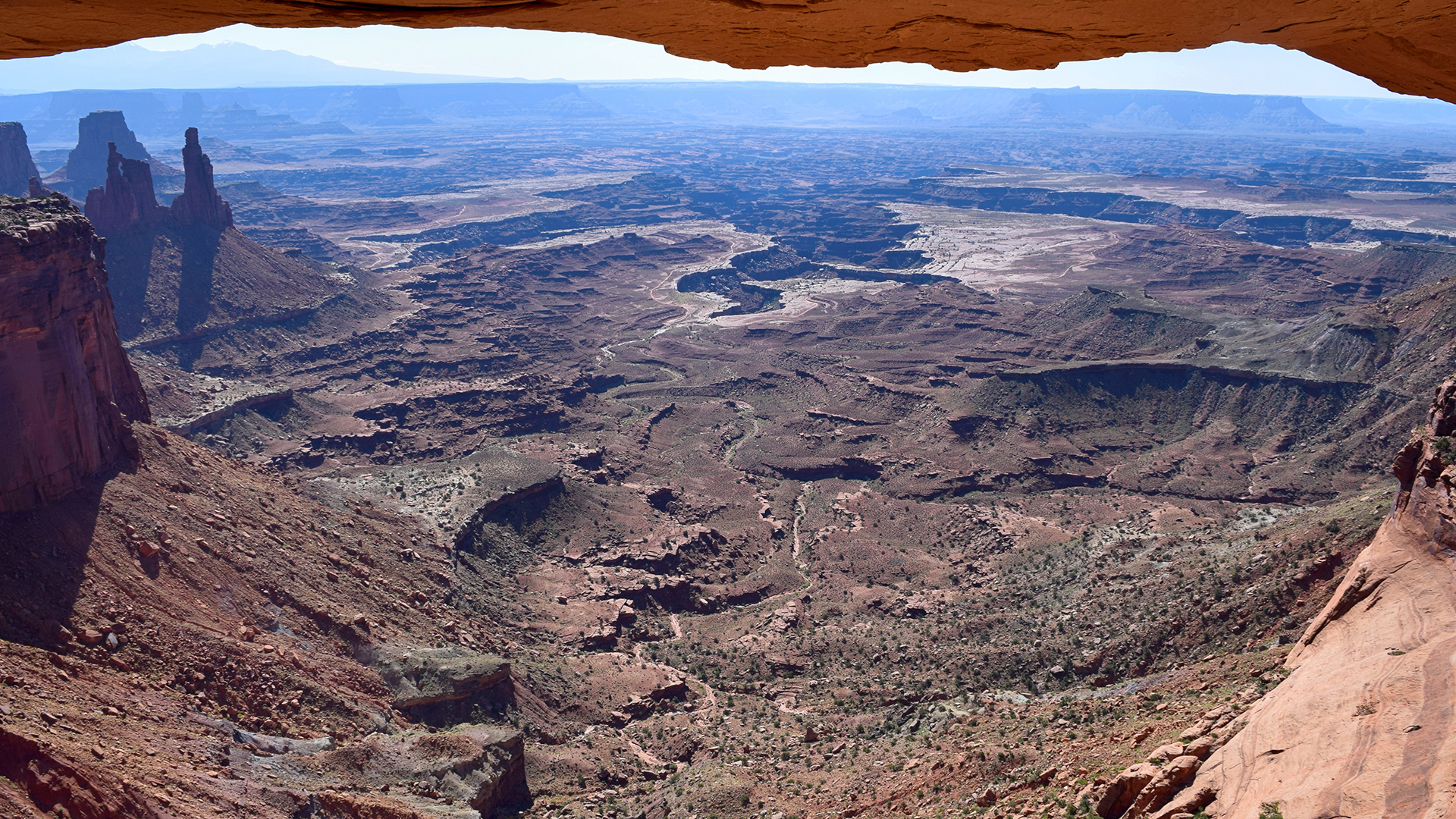
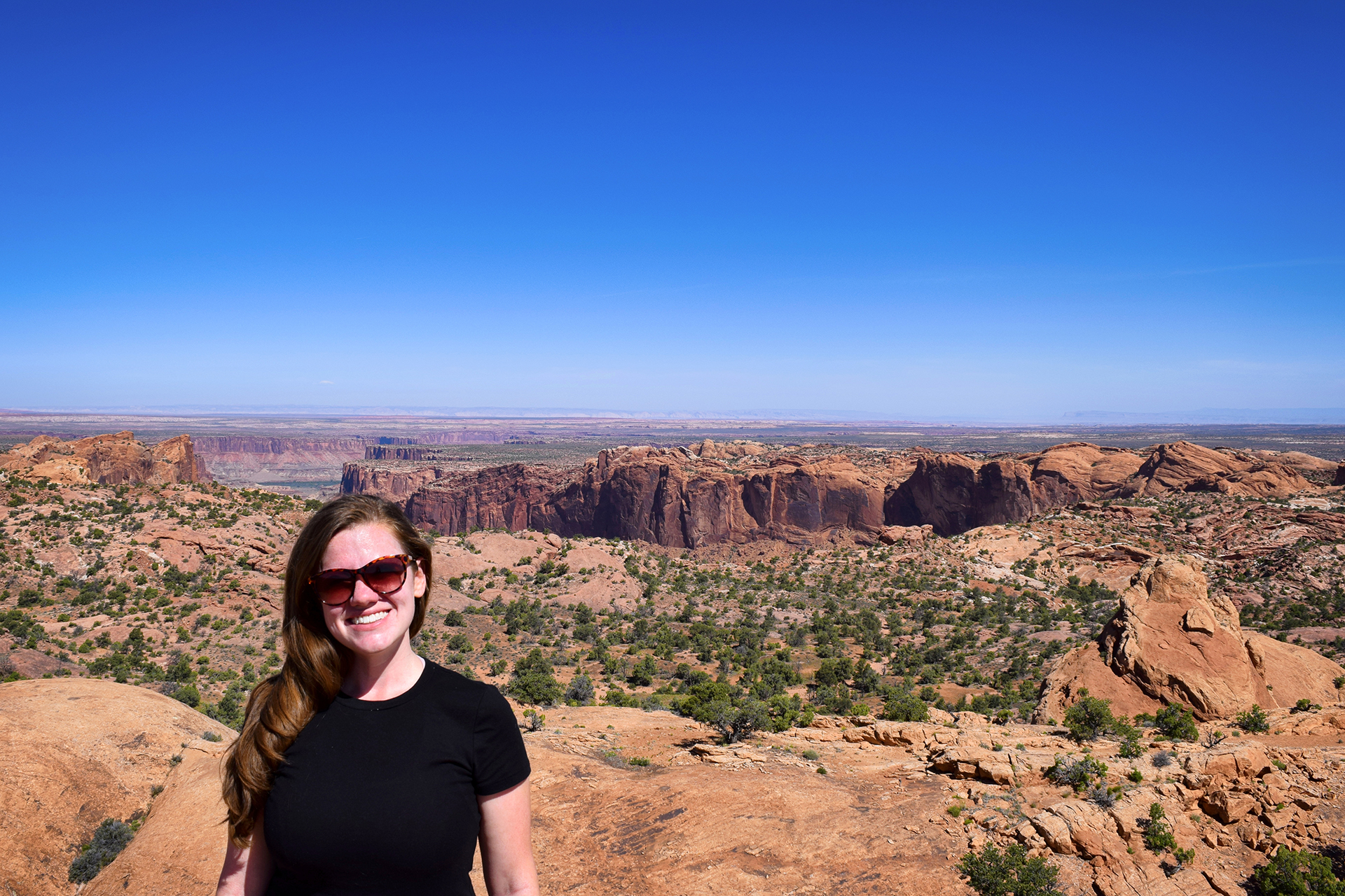
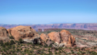
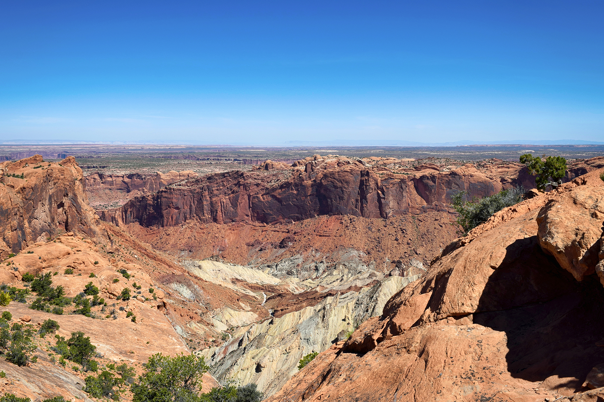
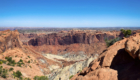
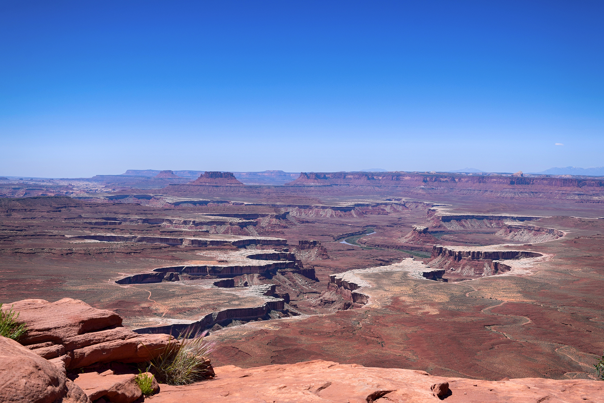
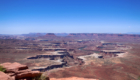
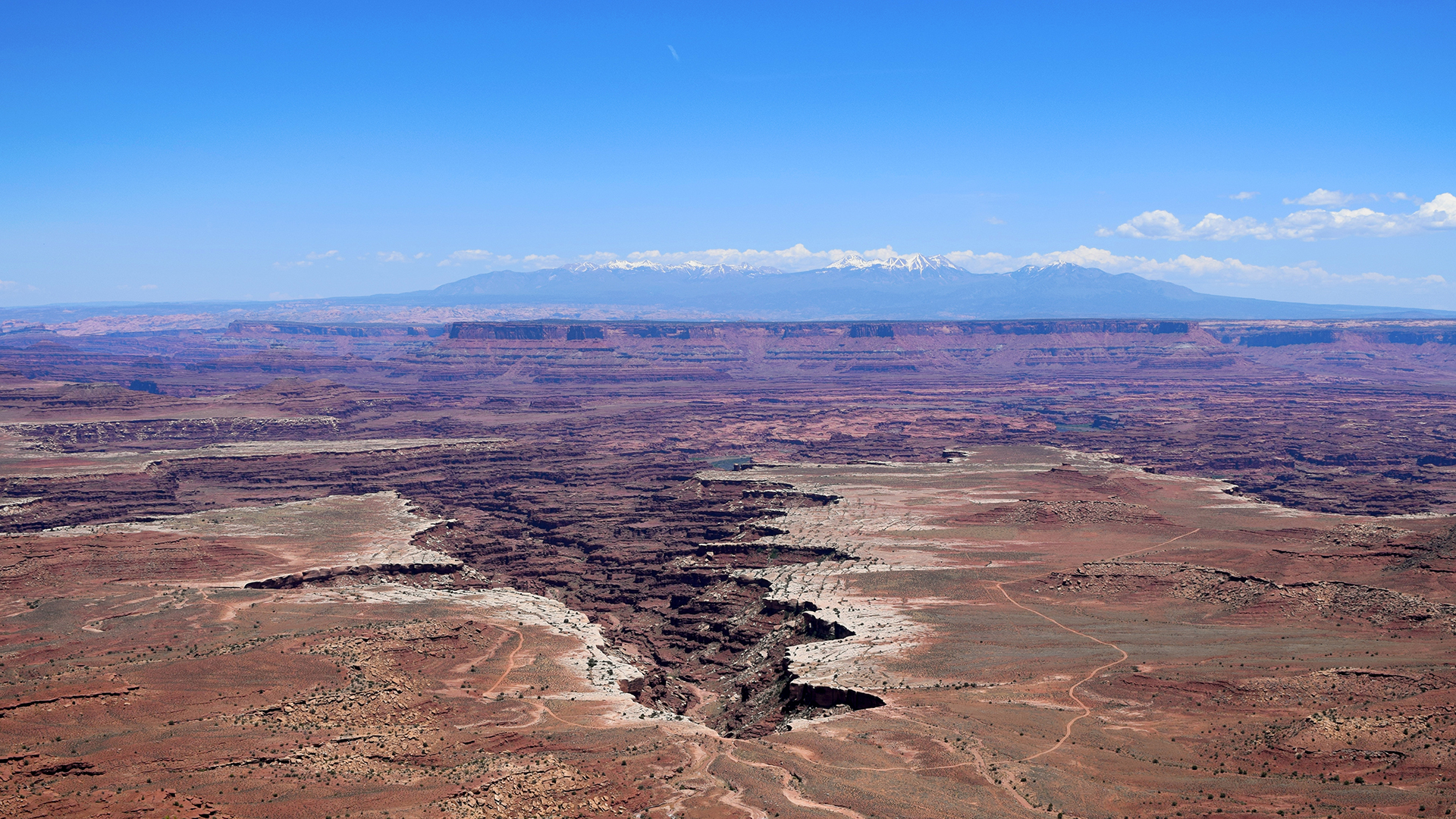
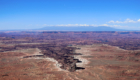
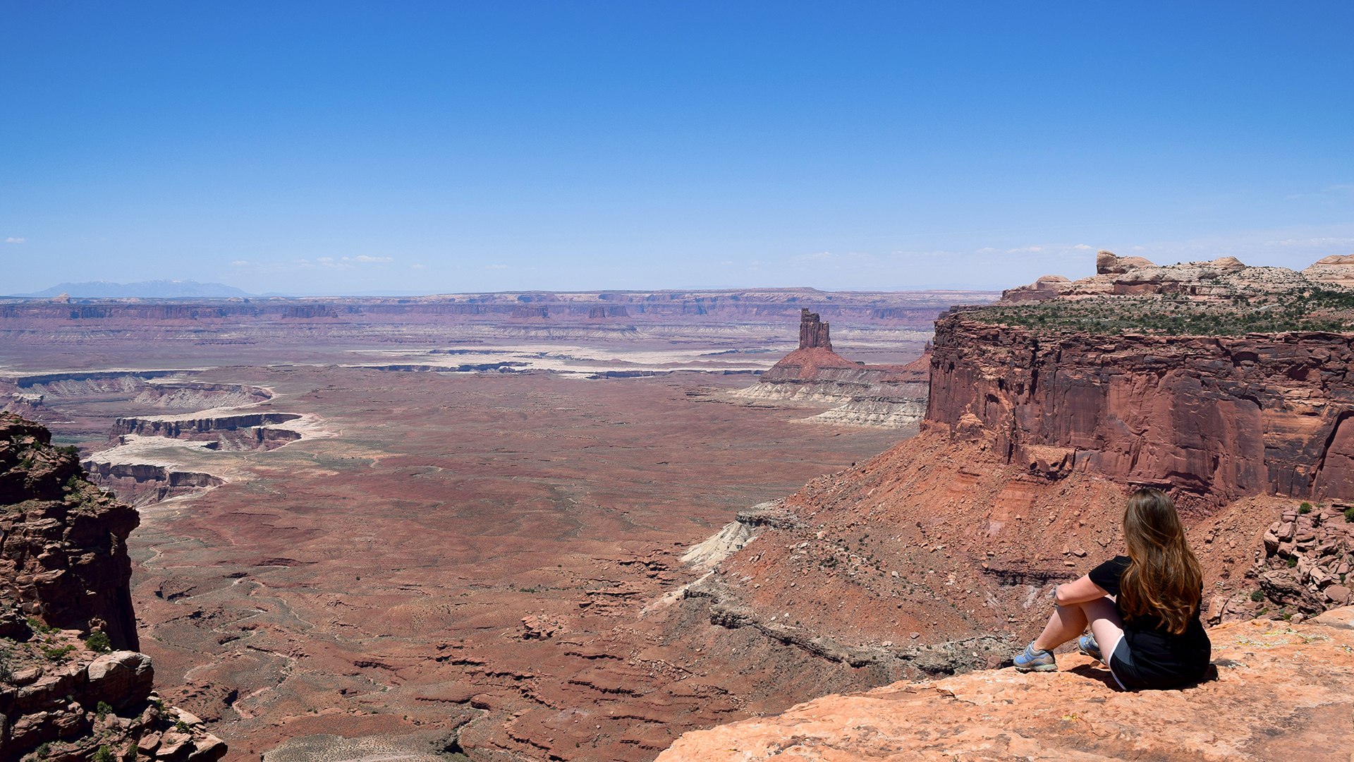
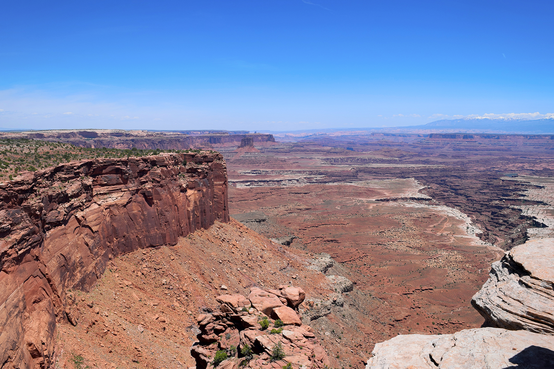
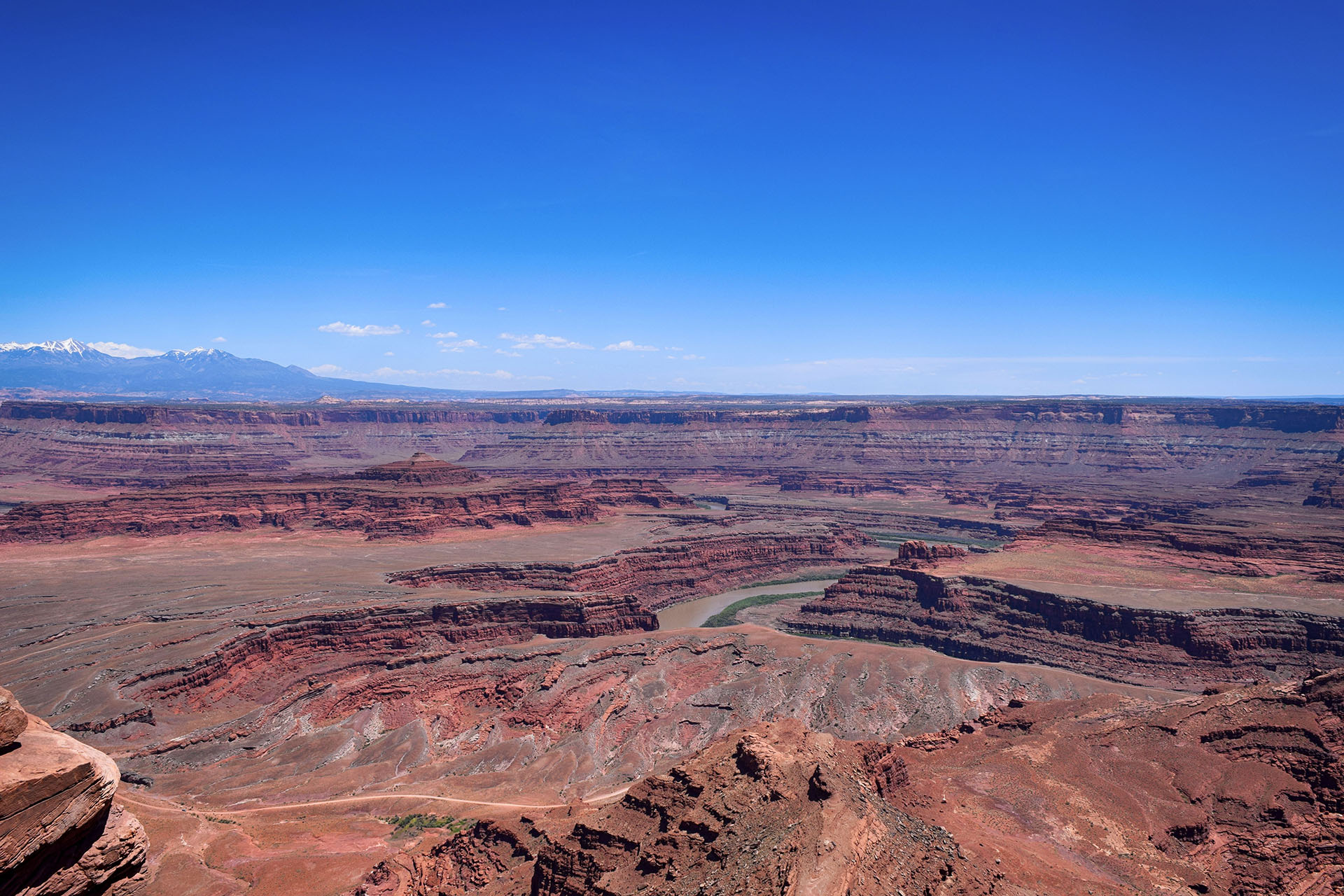
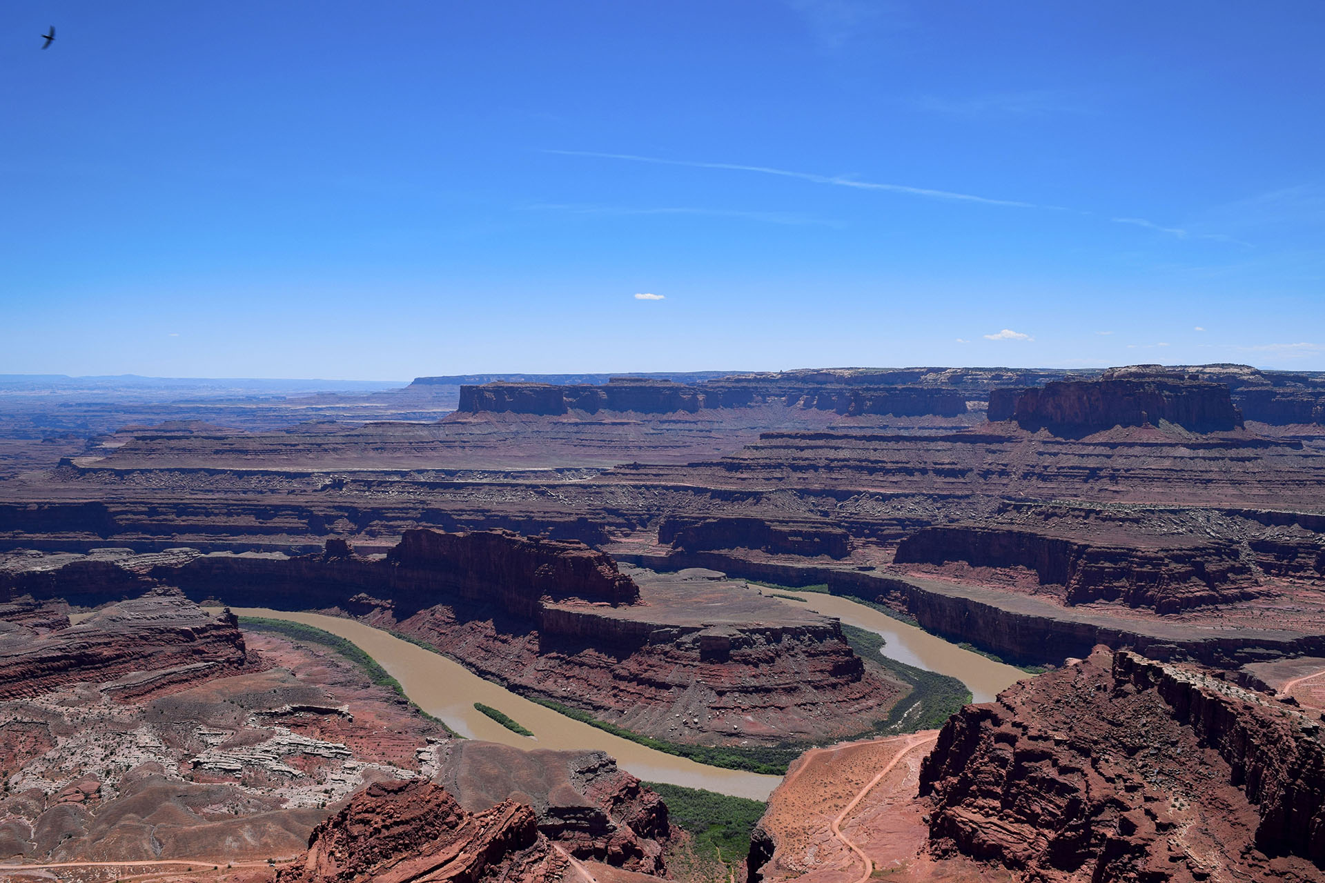
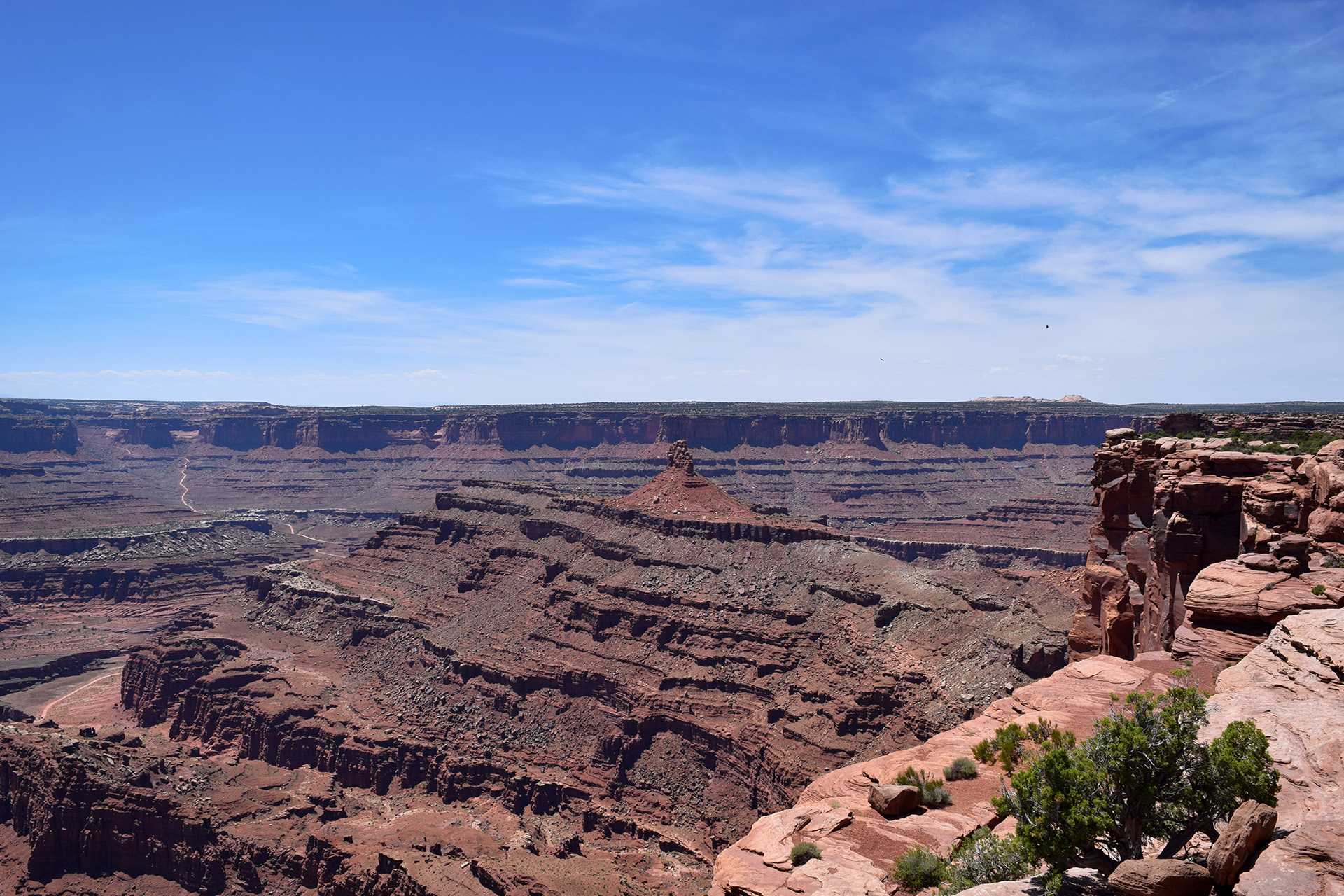
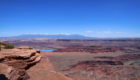
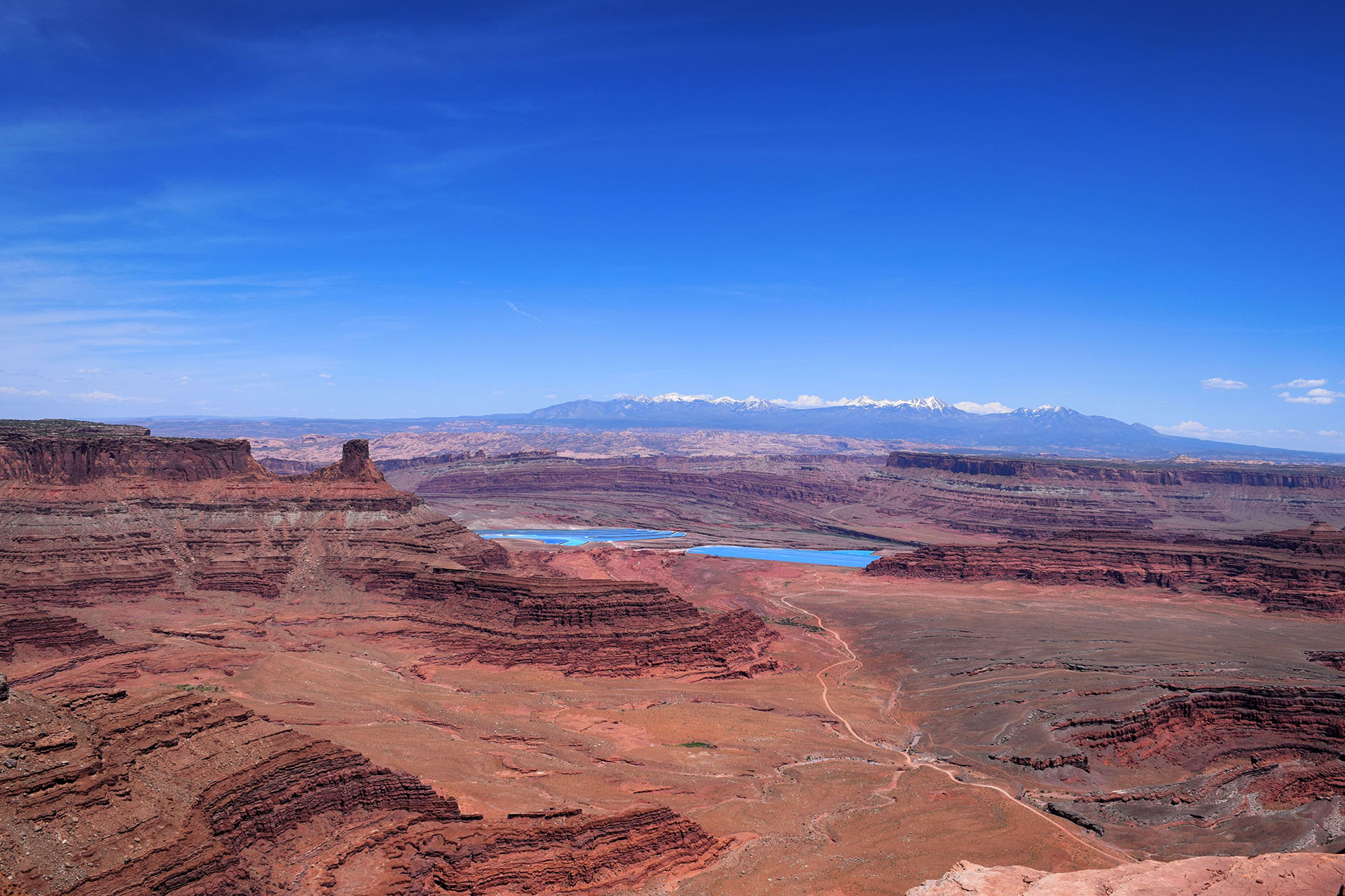
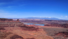
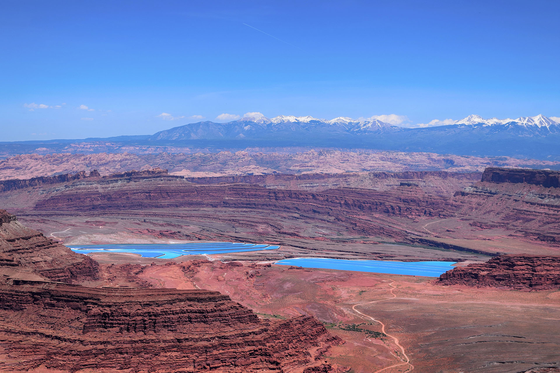
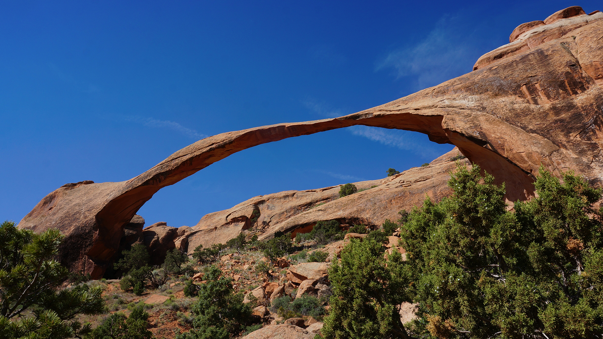
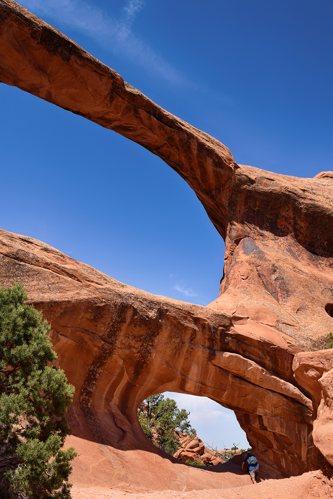
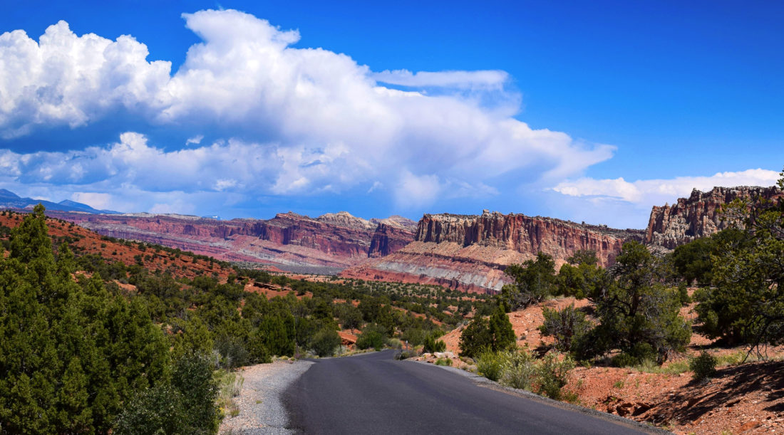
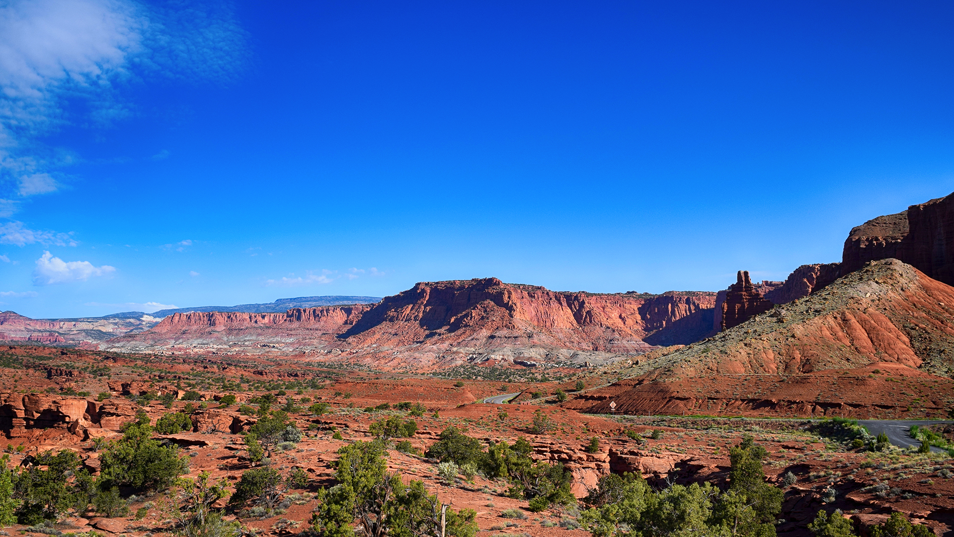
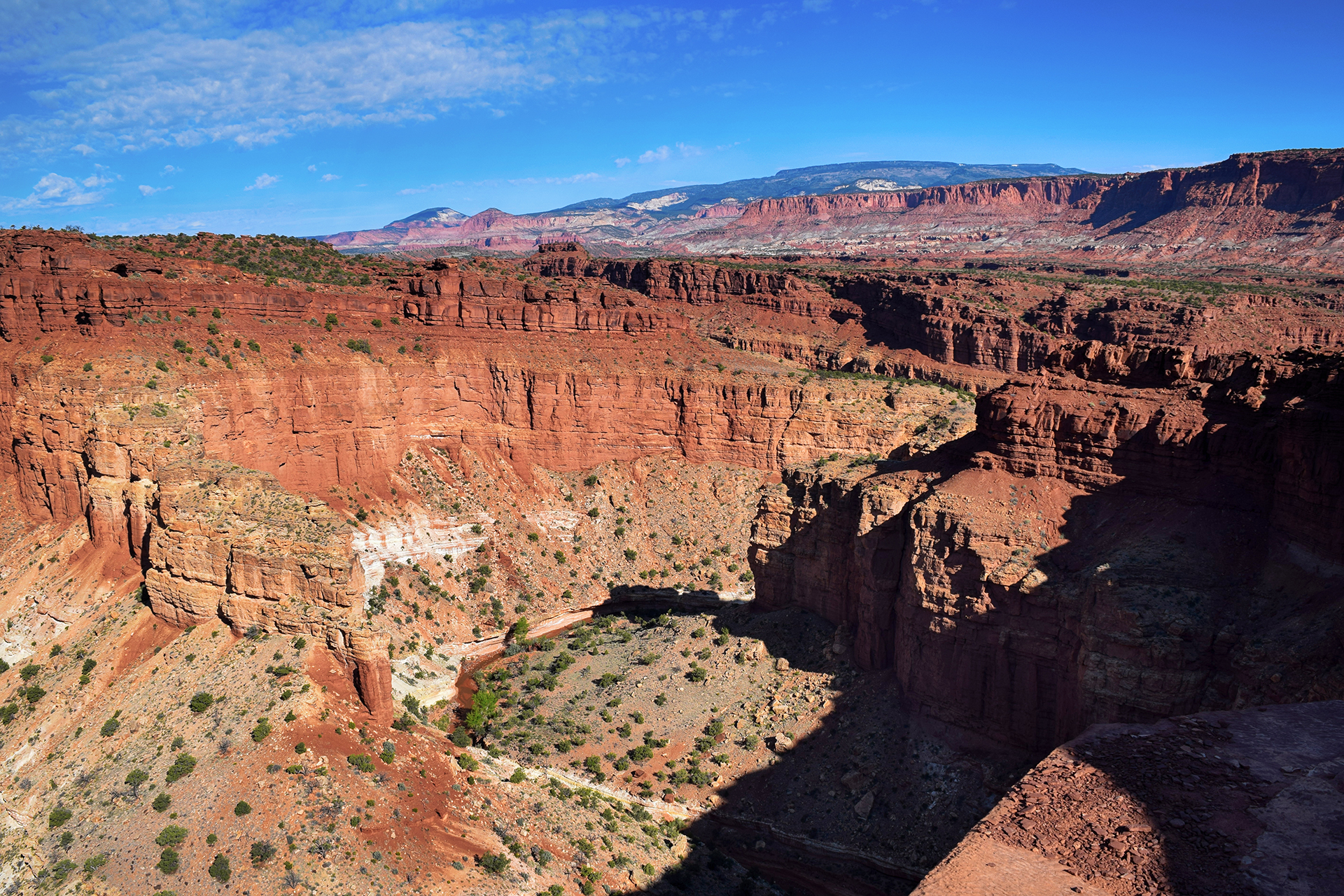
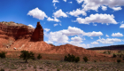
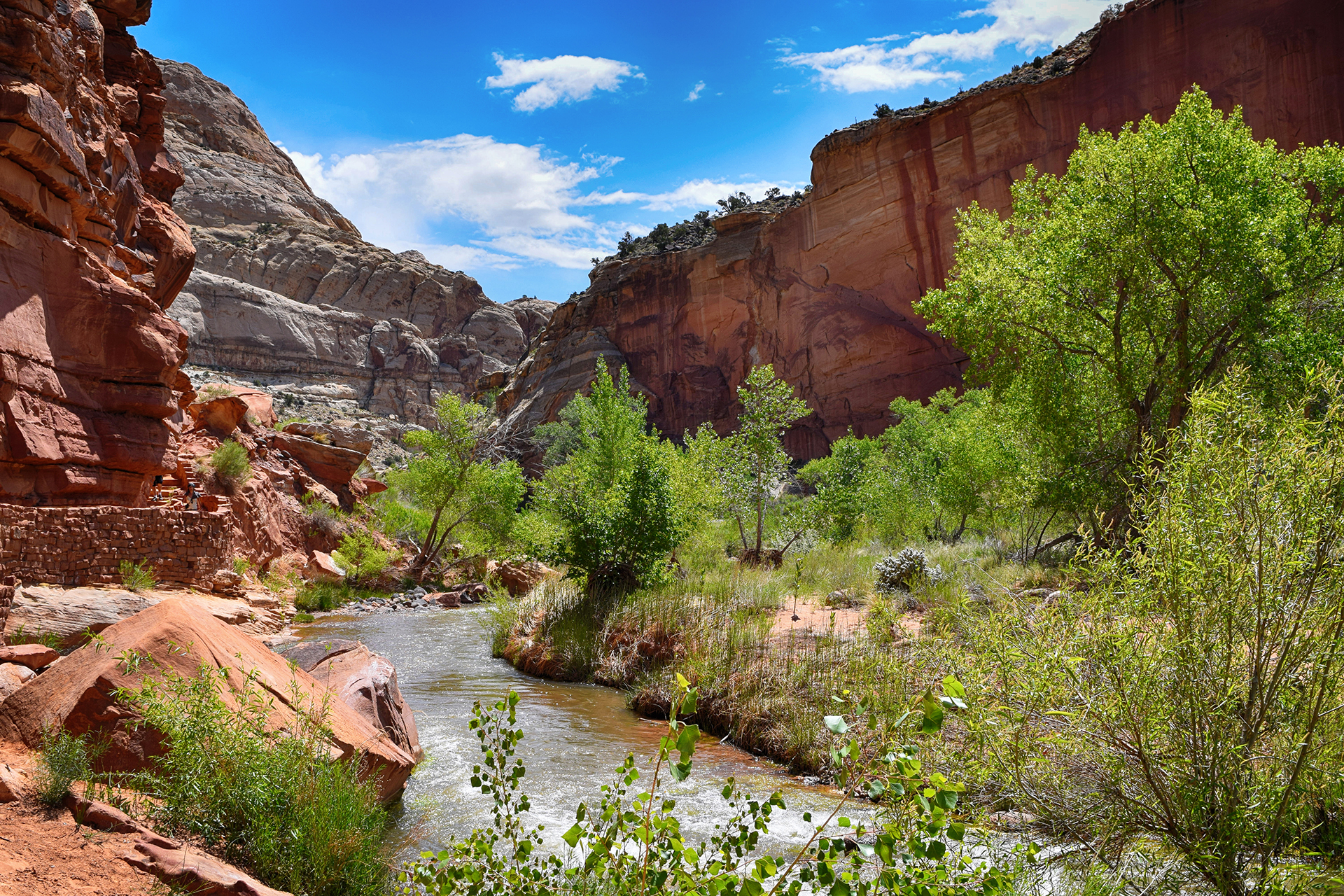
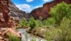
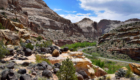
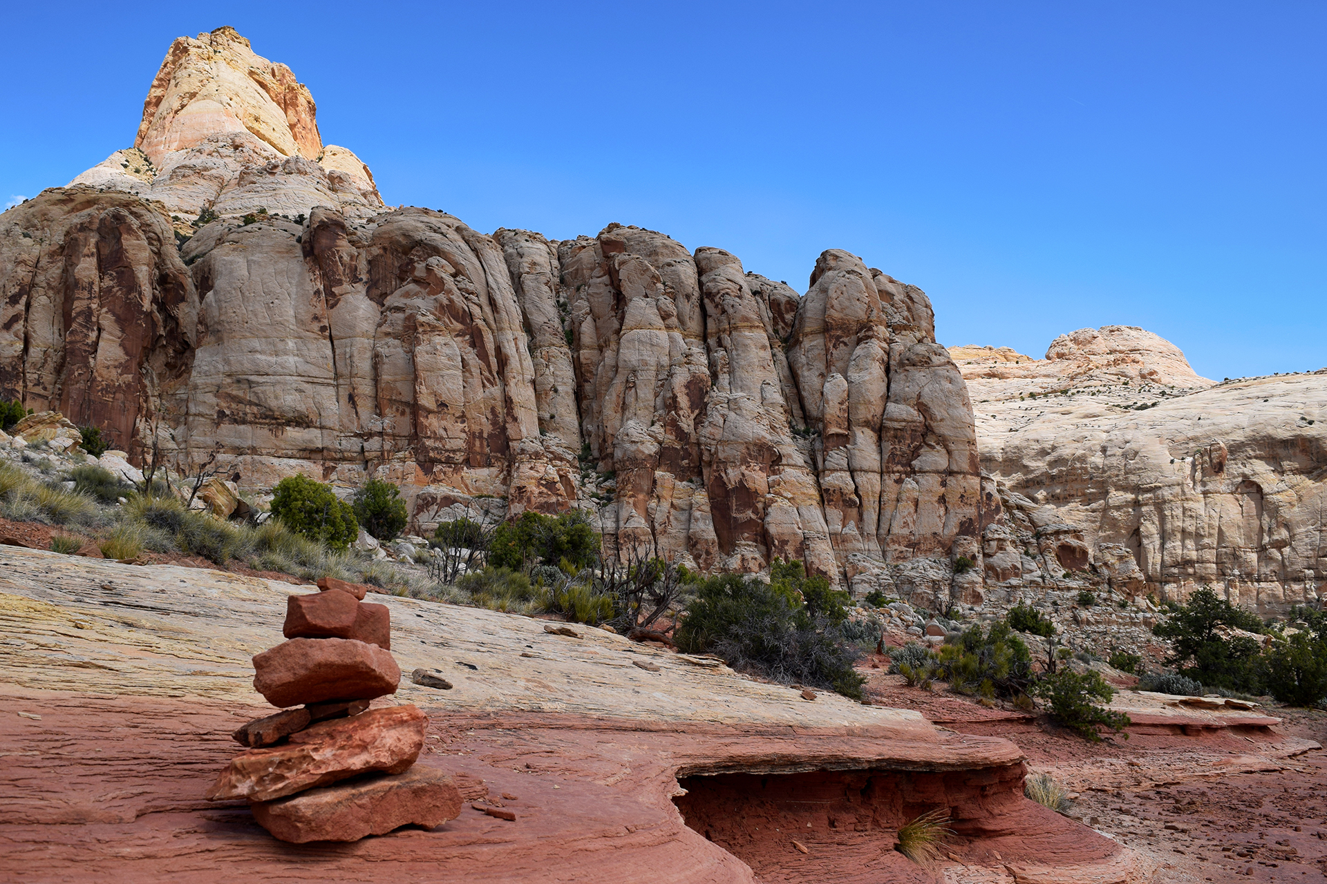
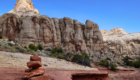
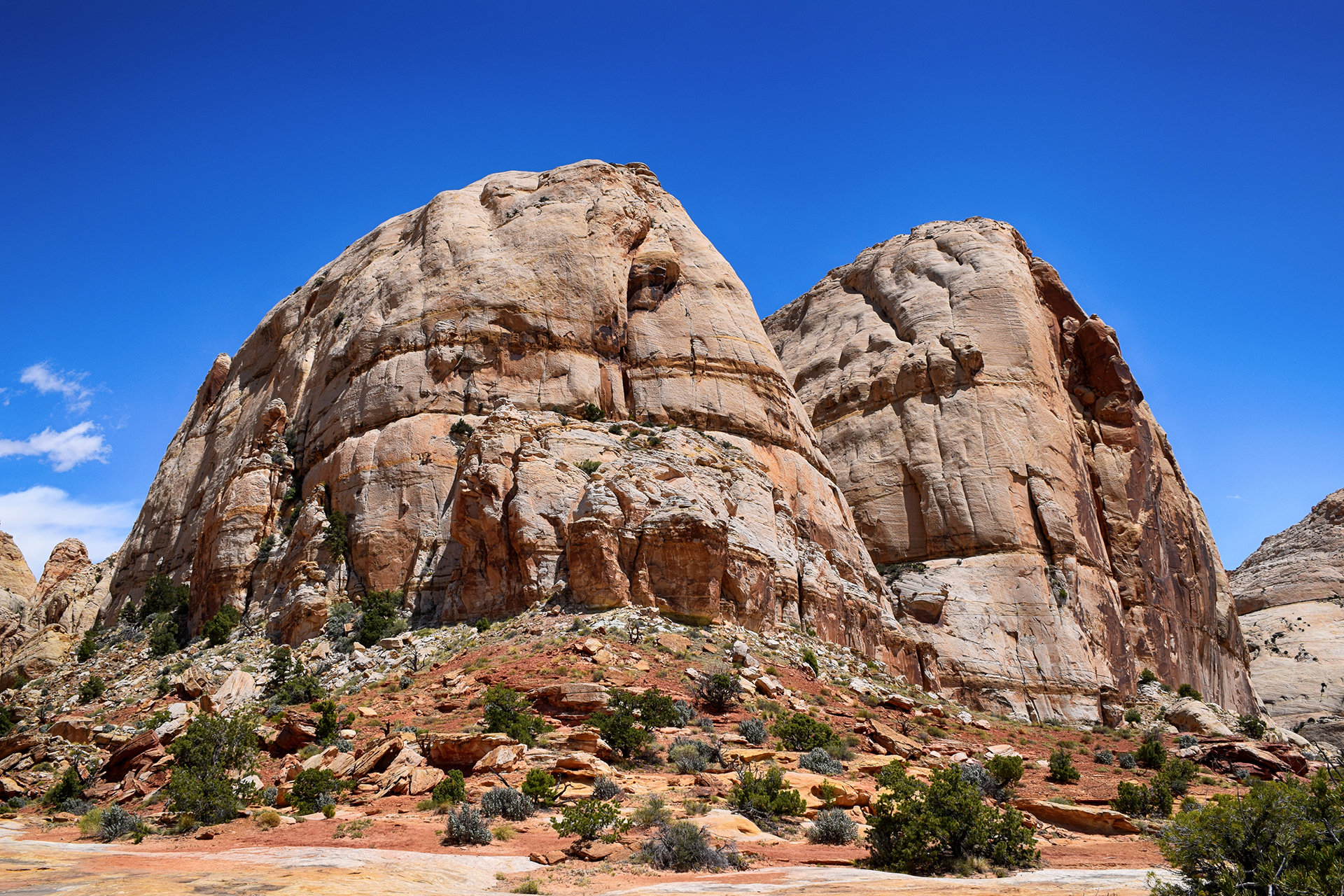
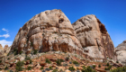
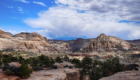
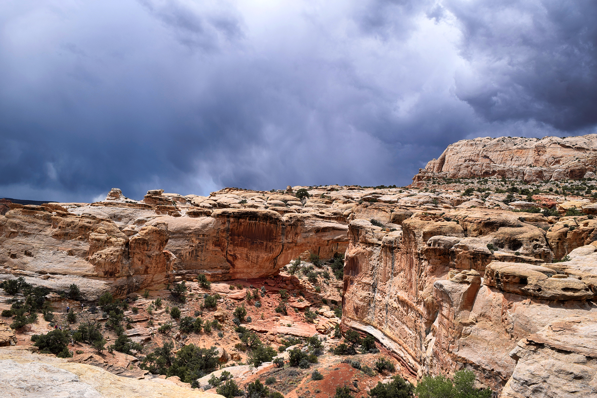
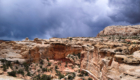
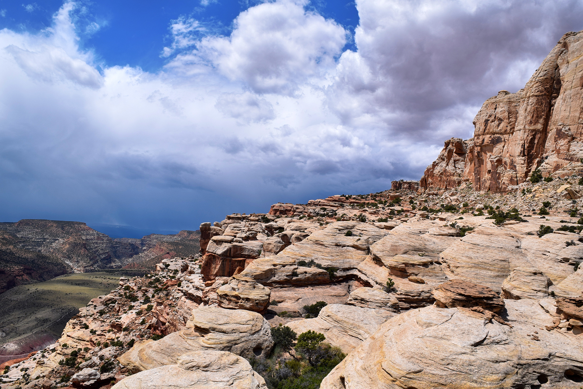
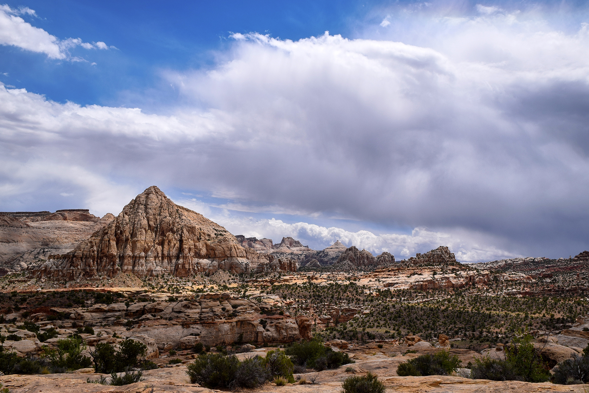
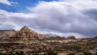
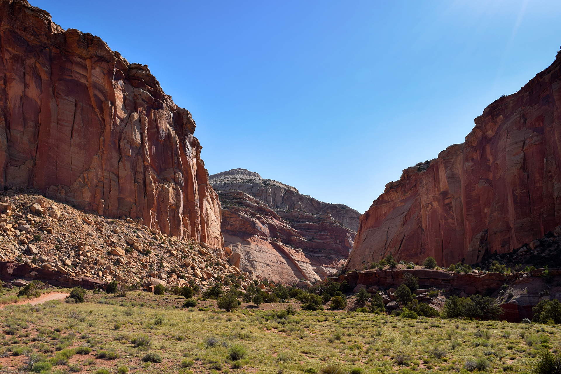
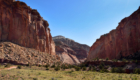
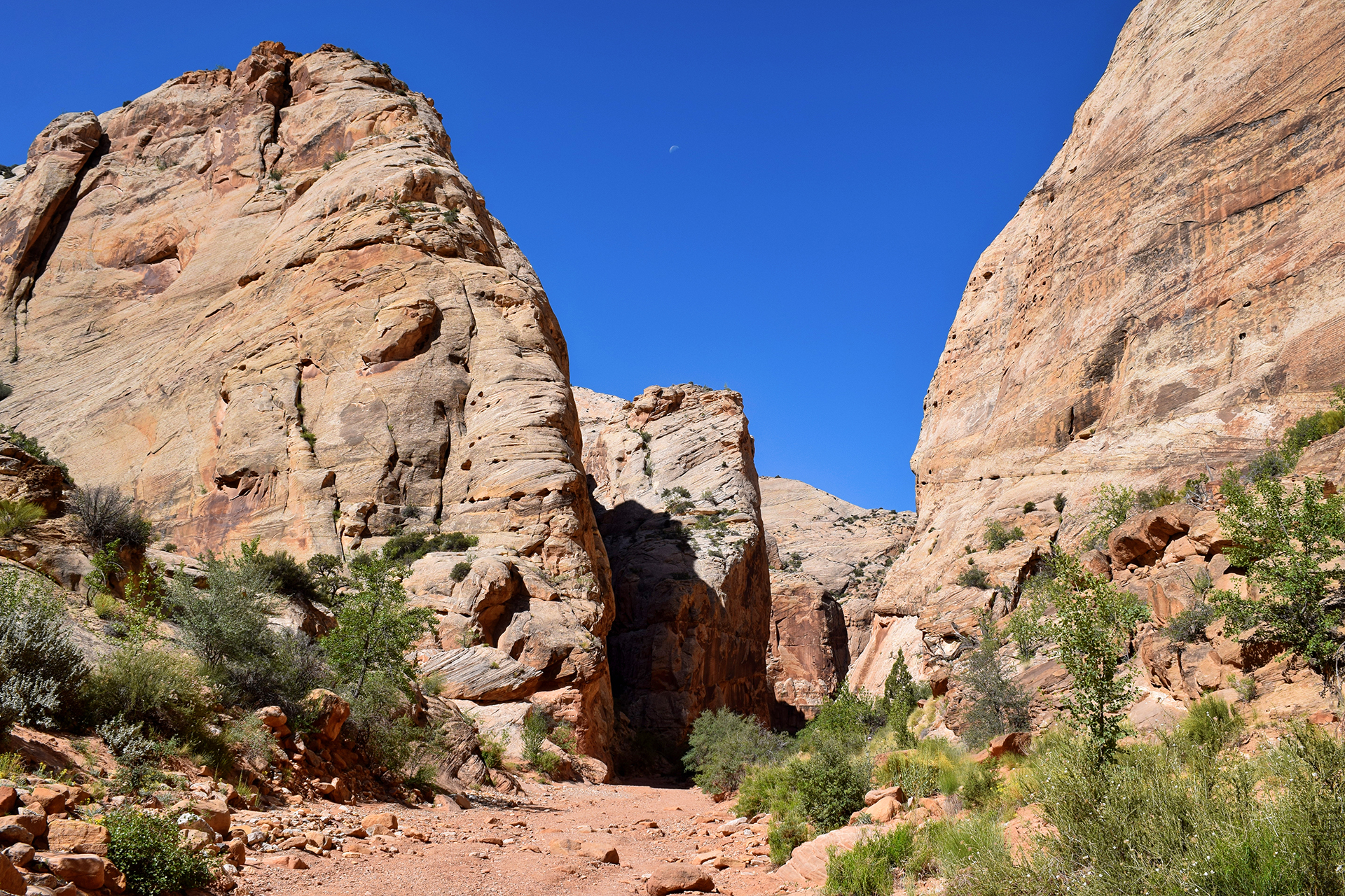
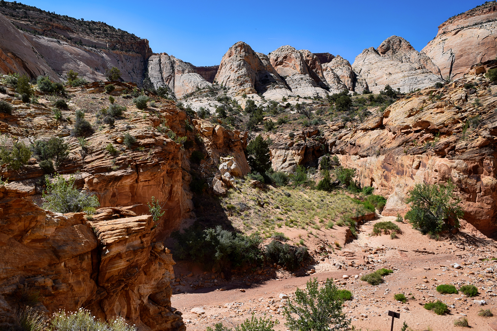
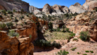
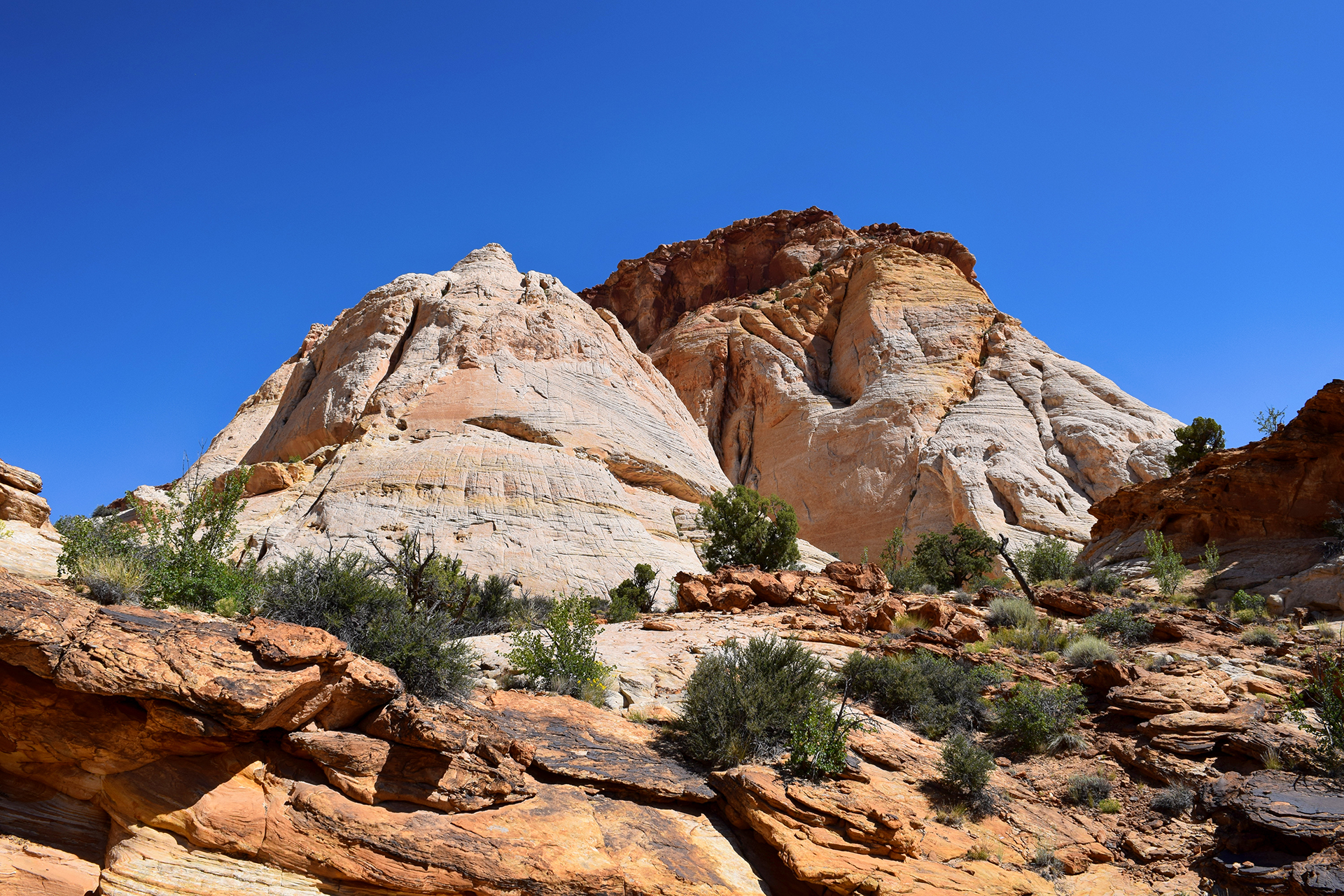
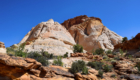
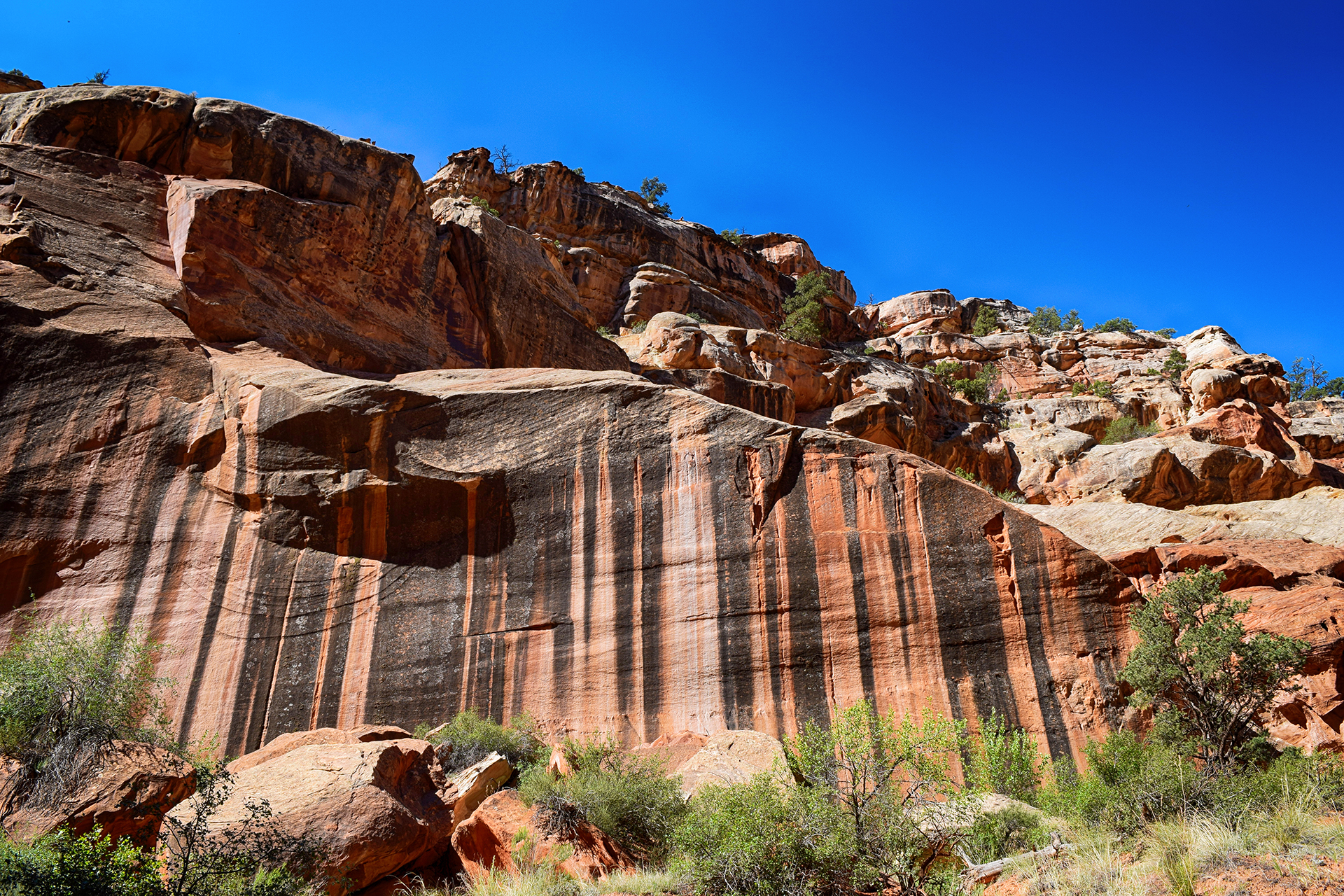
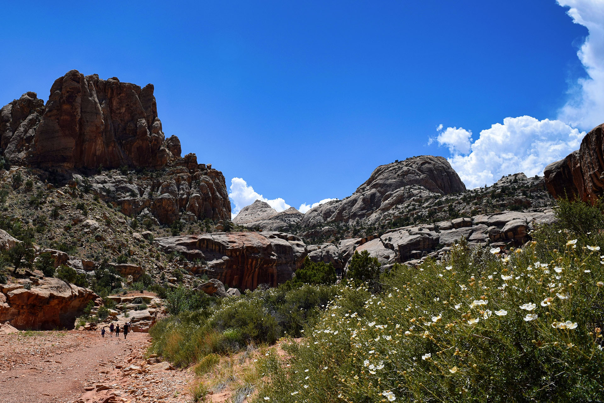
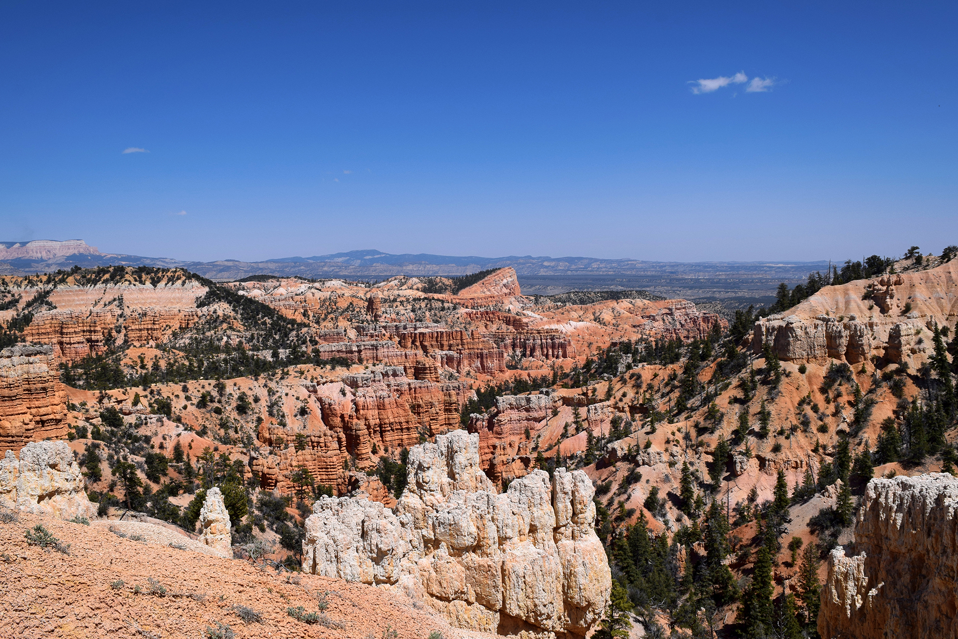
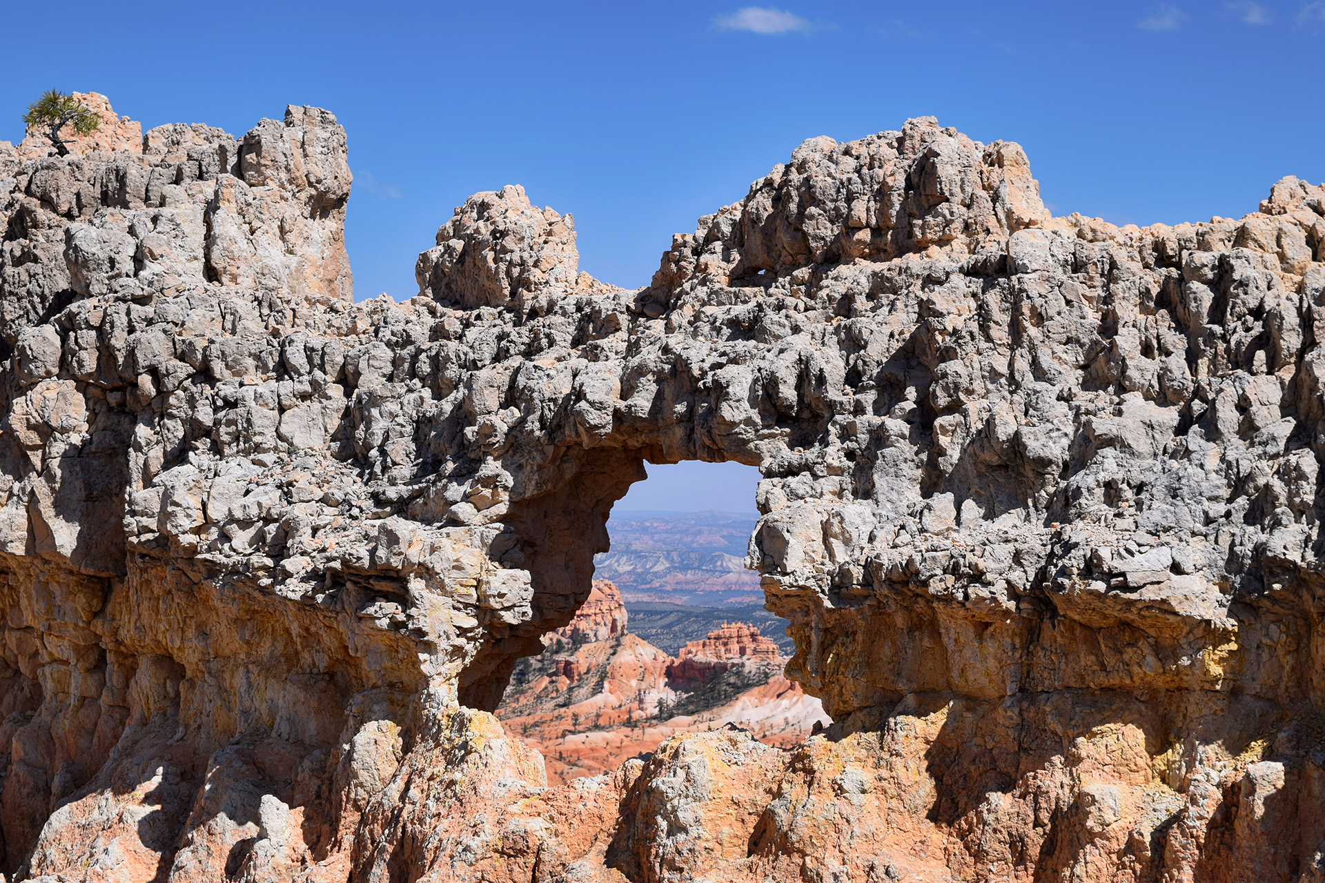
We did lots of fun stuff in Colorado, but one other stands out – our visit to Rocky Mountain National Park.  We were fresh off our Glacier high, but being National Park completionists, we couldn’t turn down the opportunity.

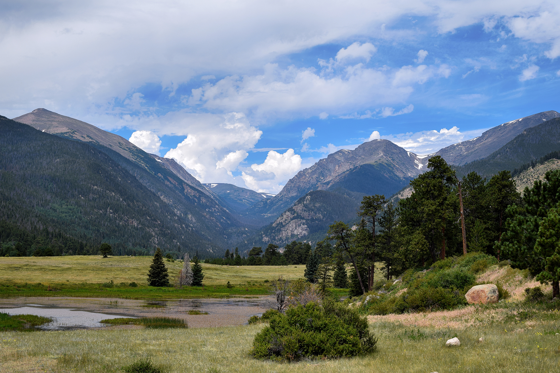
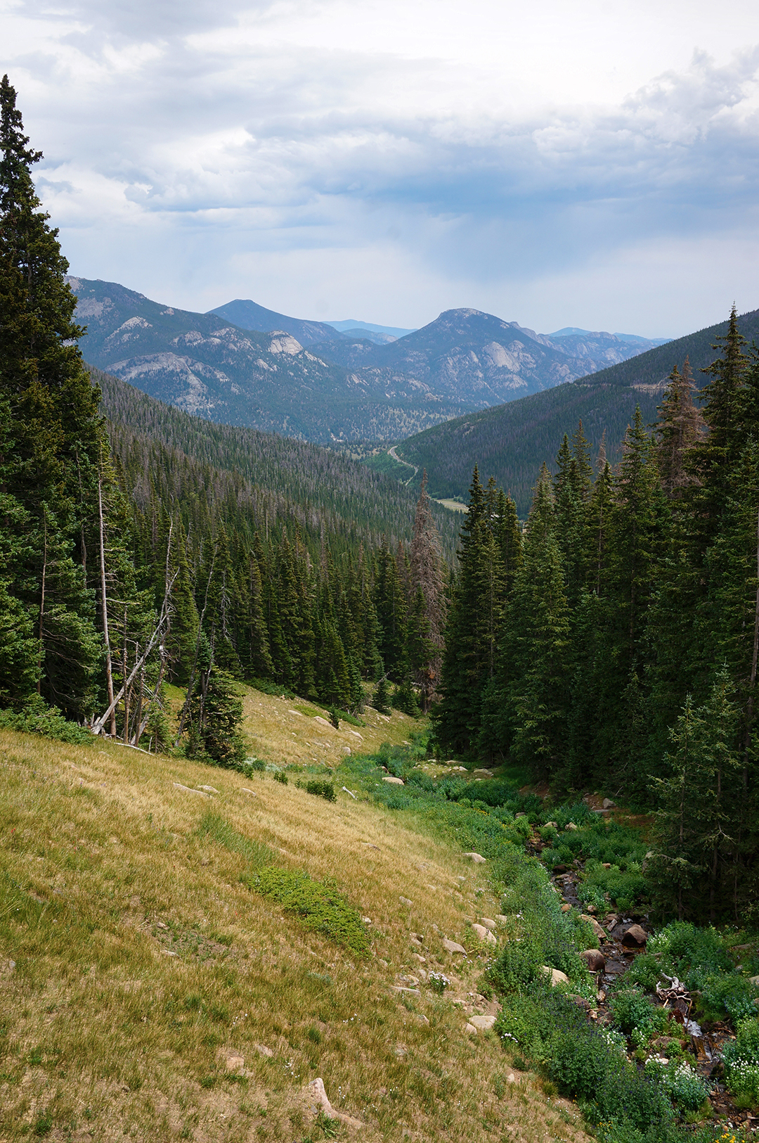
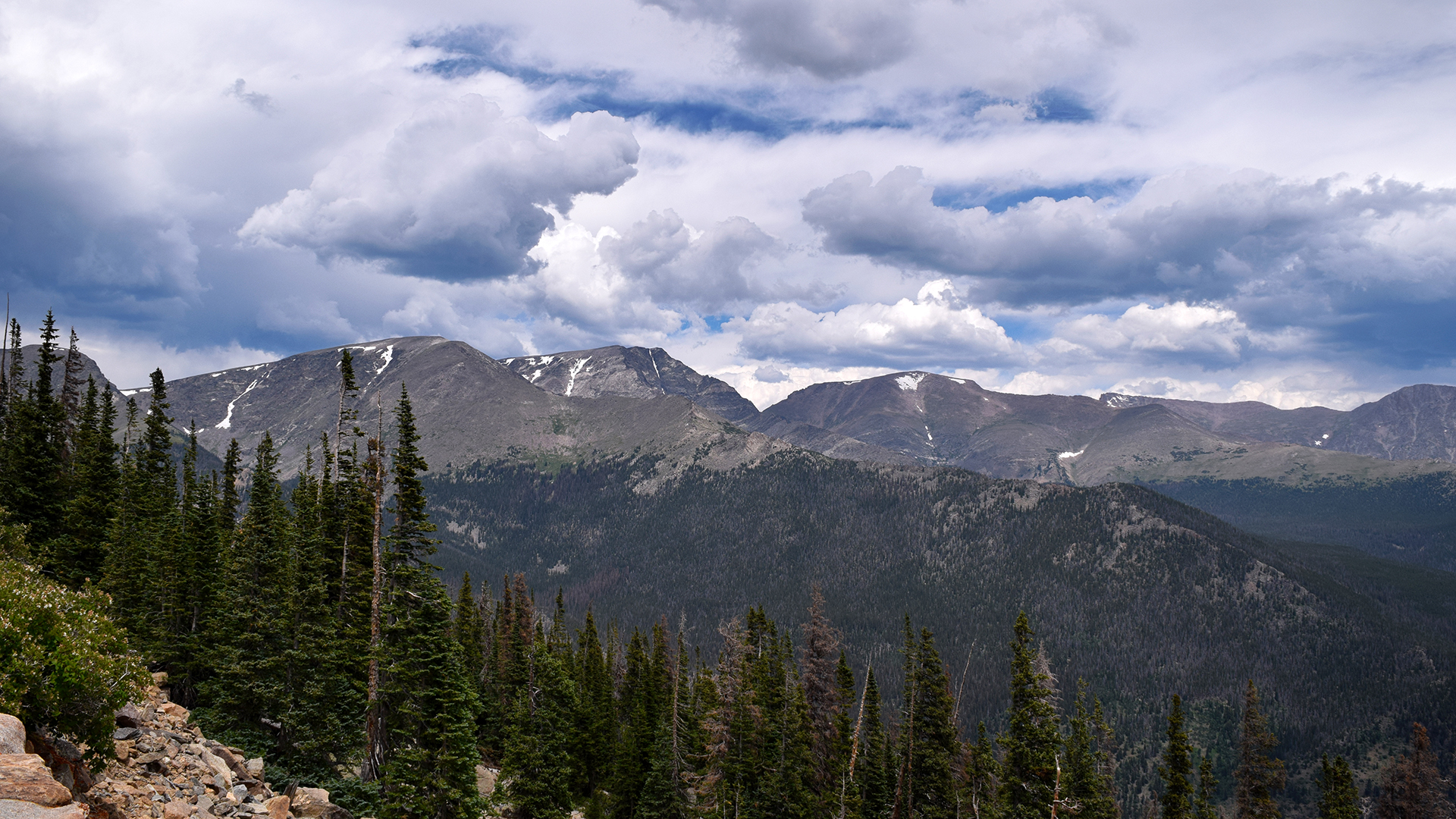
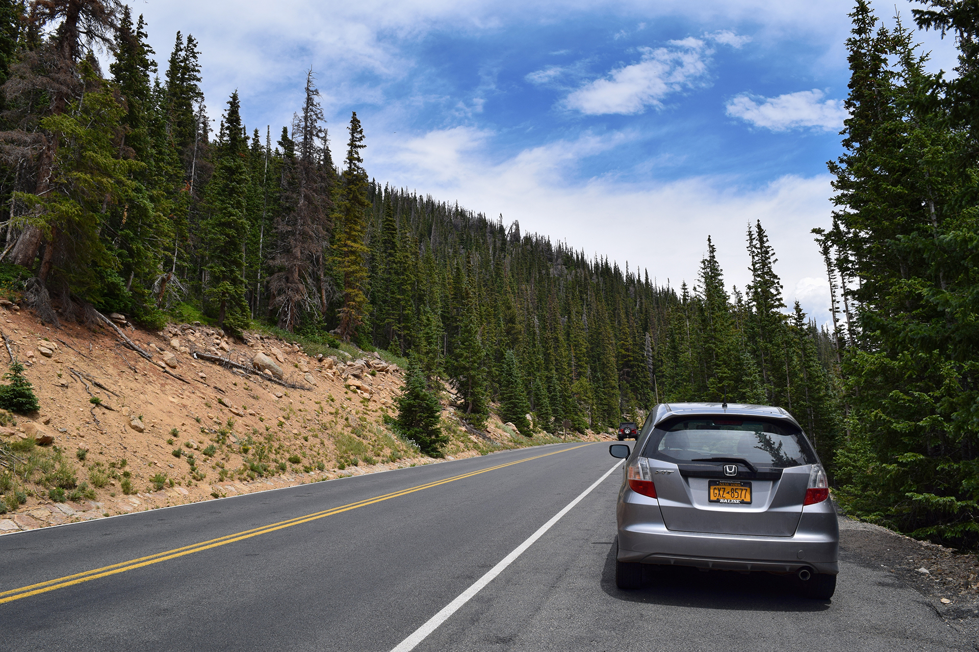
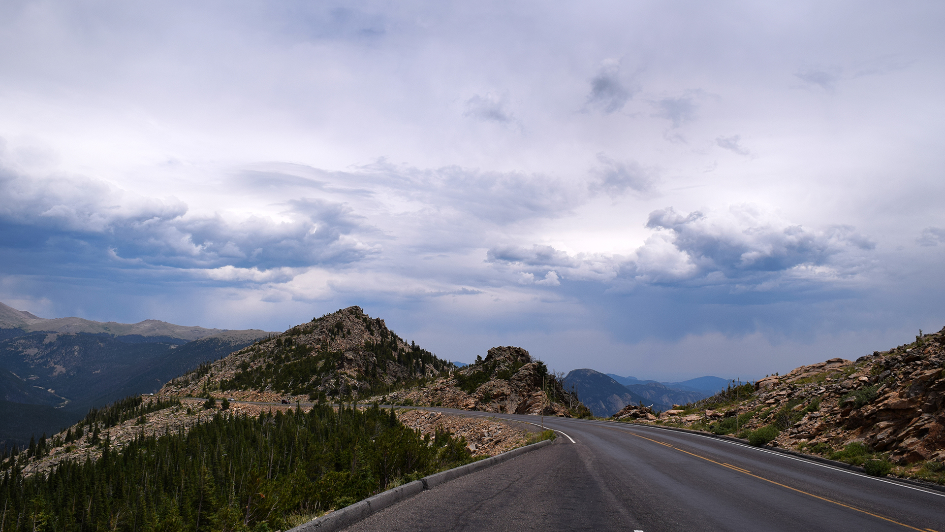
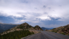
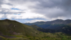
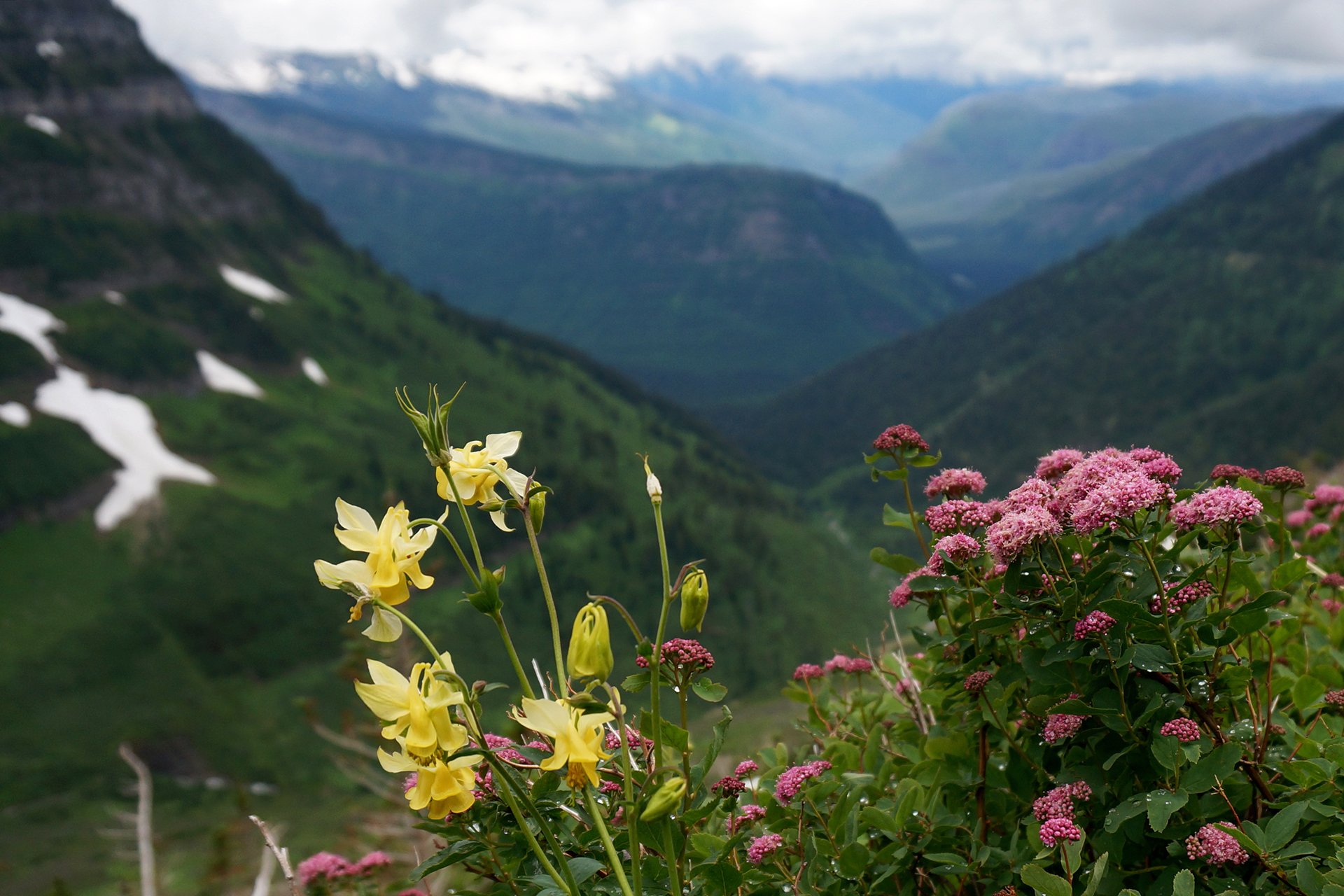
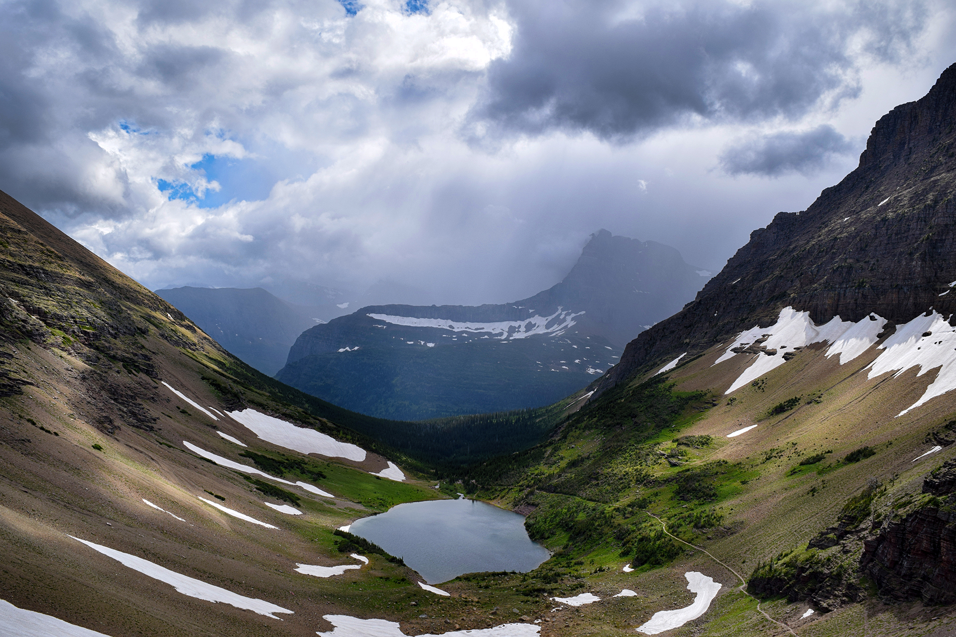
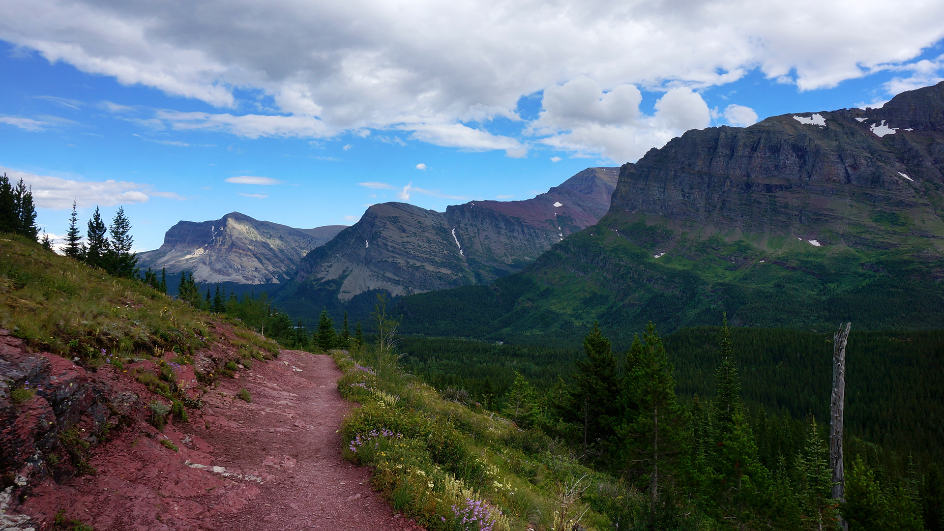
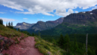
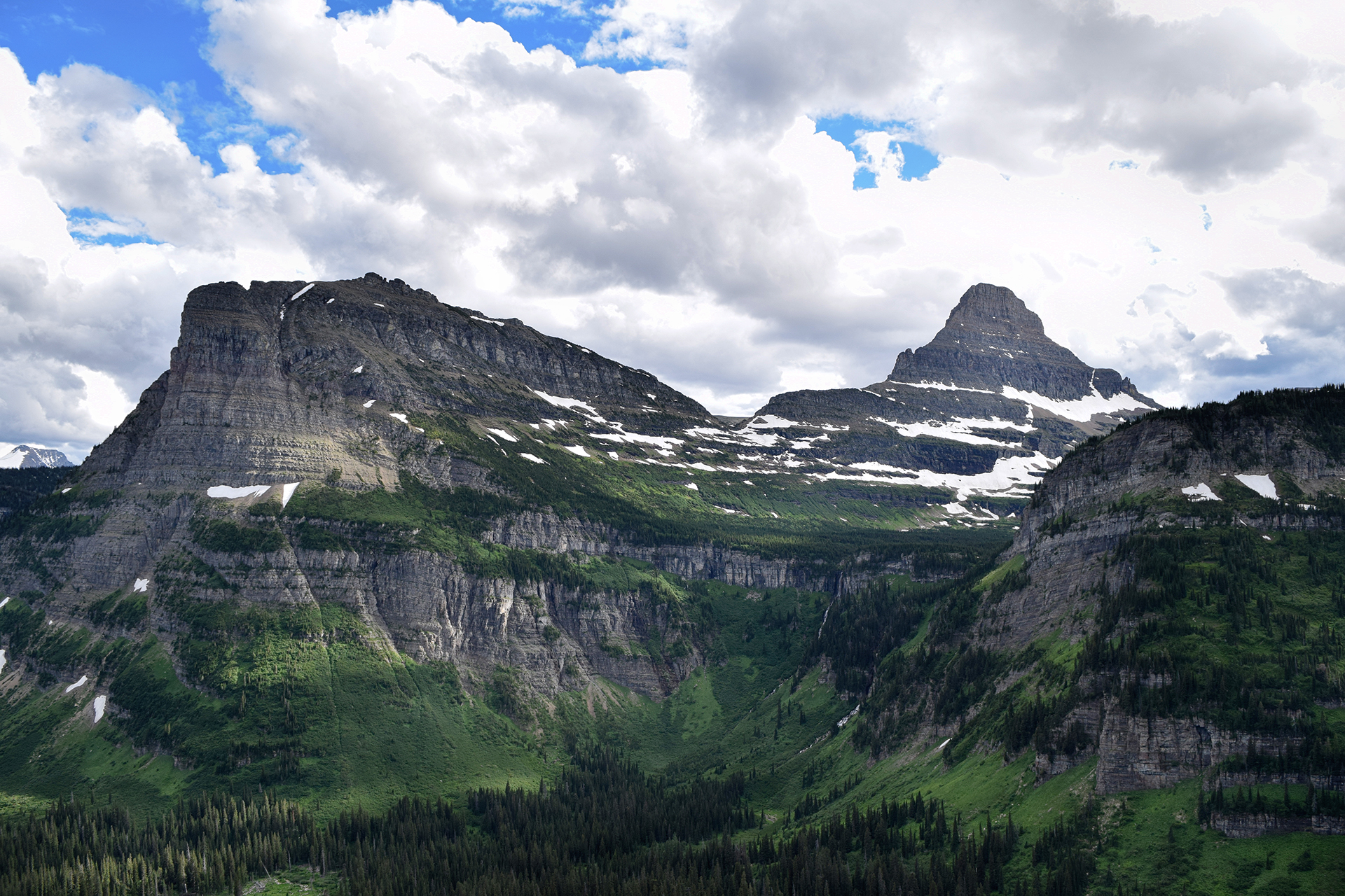
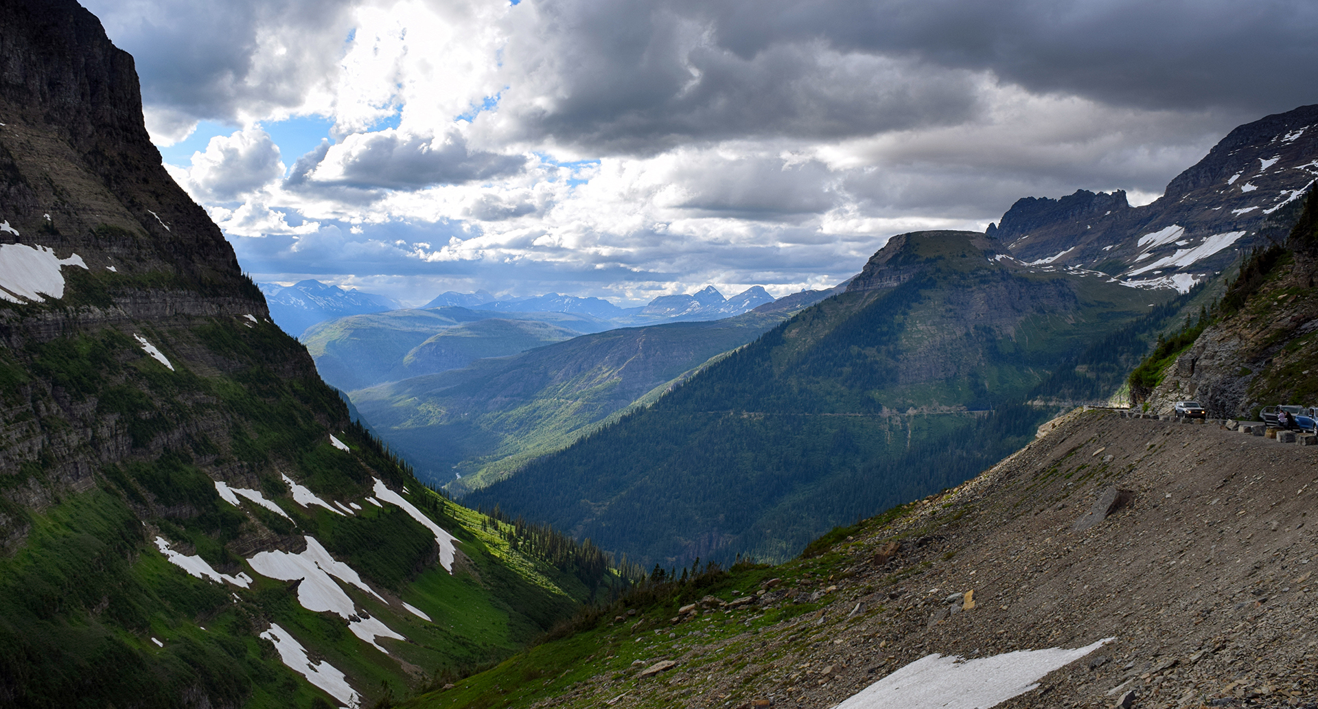
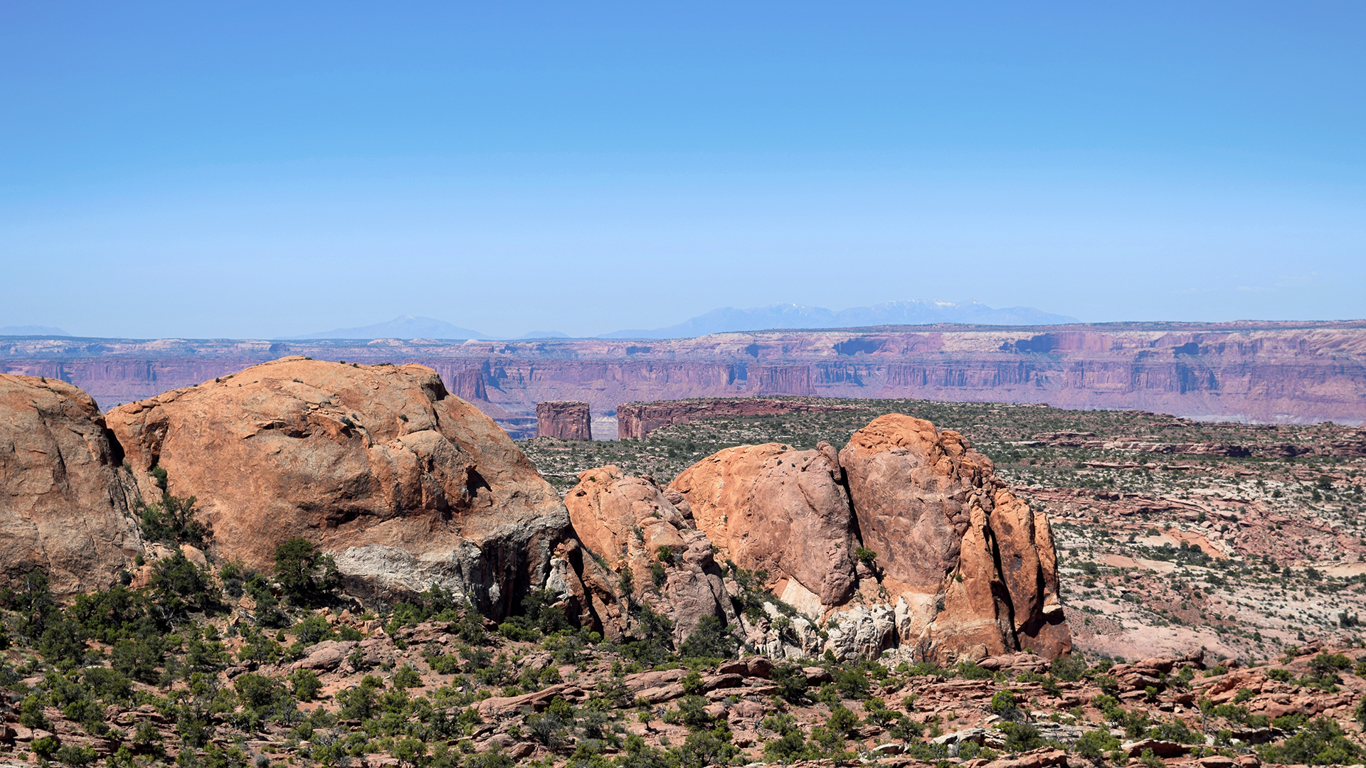
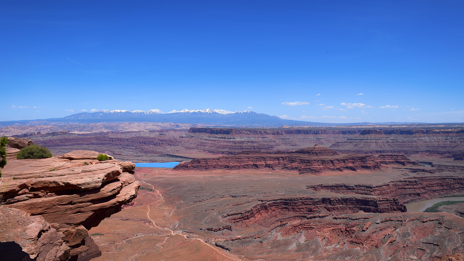
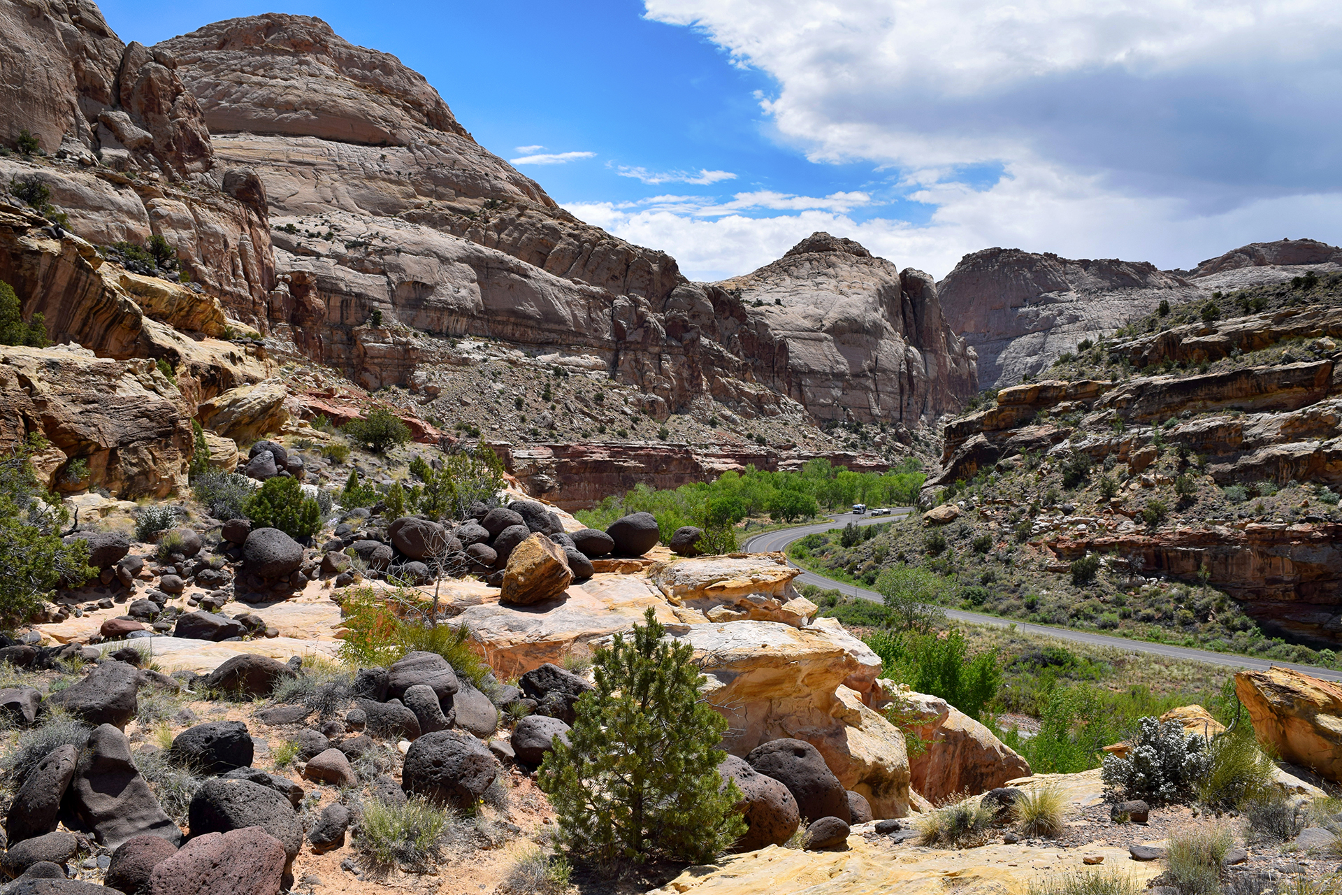
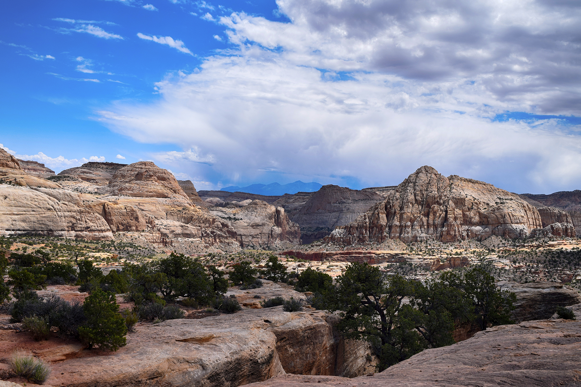
The main claim to fame at Rocky Mountain’s name is Trail Ridge Road.  It’s a scenic drive that winds along a deep mountain valley, stunning peaks visible in the background.  Unfortunately it was raining on and off while we were there, but we still liked it quite a bit.

But if we’re being honest… all we could think about was that Glacier’s is better.  (Note: that is not a popular opinion in Colorado.)

We do have to say that we live close to Rocky Mountain now, and we’ve been back a few times and really enjoyed it.   Even better, there’s a lot more to explore.  It might not be Glacier, but if you can’t be with the one you love, love you one you’re with.  – Michael Scott.

Final verdict?  Rocky Mountain is awesome.

(But it’s not Glacier.)

Roadtrip Time Travel

Next Post

Roadtrip Status

We’ve reached the end of our roadtrip!  We’re settled down in Denver, but we’re going to keep making blog posts and posting our favorite photos from the trip, so stay tuned for more.

Follow Us On Social Media

FacebooktwitterinstagramFacebooktwitterinstagram

Latest Posts

0

Week 54: Glacier National Park: Part 2

We’re back with Part 2 of our trip to Glacier National Park, a place so beautiful it makes the background of our pictures look photoshopped.  If you haven’t seen Part 1, check it out here.

Logan Fog

Due to grizzly bear activity, hikes in Glacier tend to close without warning.  That happened to us when we reached Logan Pass, the top of Going-to-the-Sun road, and found the option we wanted was closed.  So, in the spirit of adventure, we persuaded Jake’s family to go on one of Glacier’s most famous hikes:  The Highline Trail.  The Highline Trail starts at Logan Pass, and it runs directly above Going-to-the-Sun road.

Oh, and it starts with a walk along the side of a cliff.

There is a handrail, of sorts.  A chain wrapped in long pieces of garden hose is bolted to the wall, reminding us of a more comfortable version of Angel’s Landing at Zion.  Jake’s mom is no fan of heights, but she got made it through beautifully – perhaps because a massive fog bank made it impossible to look down.

Unfortunately, the fog hung around for more than just the cliff walk.  The actual trail was bursting with birds and bees, Spring flowers and cute little animals, and melting snow (in July!) but we couldn’t see a damn thing more than ten feet away.  The swirls and eddies of the fog would provide tantalizing glimpses of the valley we knew was there, but couldn’t see.

We decided to turn back after a while, but as luck would have it, the fog lifted right before we made it back – and it was a stunning sight.

Incidentally, Logan Pass isn’t especially high by Rocky Mountain standards (6,600 feet), but it does have one thing going for it:  mountain goats!  They hang out right near the visitor’s center, slowing traffic and accomplishing basically nothing.  As far as we can tell, their life consists entirely of licking rocks and sleeping.

Animals after our own heart.

West Side > East Side

After our week with Jake’s family was up, we sadly said our goodbyes – to Jake’s mom and dad, that is.  Nothing Mundane’s official sister, Kate, stayed with us for a few more days, as we traveled around the park to… the East Side.

That probably makes no sense, so here’s the explanation.  Glacier is huge, and the main entrances are on the west side and the east side, connected by Going-to-the-Sun Road.   The west side is near a large tourist town with restaurants, breweries, grocery stores, and the coolest gift shop we’ve ever been to.

The east side has… an RV park, and a gas station.  And that’s about it.

That’s a slight exaggeration, but not by much.  There was a bar, a burrito stand, and the world’s tiniest and saddest-looking miniature golf course, but certainly no brewery or grocery store.  Our Internet connection approximated the AOL dial-up days.  We couldn’t even buy cooking wine, since the area is on the Blackfeet Tribe reservation and it was a tribal holiday (although apparently the bar was fine!).

At least we were able to get reservations at the RV park here.  As it turned out, the RV park itself has its own restaurant.  The enterprise was essentially built by hand by settlers in the 1950s, and there were some interesting mementos.  Our favorite were the guestbook pages laminated into the table.

There is a downside to being a family run business, however, not to mention being the only game in town.  The waiters and waitresses may literally have never been to another restaurant, because their service was so terrible it was almost impressive.  They genuinely could not have cared less whether we enjoyed our meal.  Jake also learned that, while “chef’s choice” may get you something good and unique at a high-end sushi restaurant, it gets you “a pile of whatever crap we couldn’t sell this month” at family-run RV park restaurants in northwestern Montana.

Learning is fun.

Ice, Ice Baby

Undeterred by culinary atrocities, we struck out with Kate on a hike to Iceberg Lake.  The trail cuts through a beautiful alpine meadow teeming with wildflowers, set against a backdrop so magnificent we can’t possibly do it justice with words.   Just take a look at the pictures.

We passed through a dense forest with few people around, which made us slightly nervous because this is grizzly bear country.  We certainly didn’t want to surprise any grizzlies, so we clapped and talked loudly as we went.  (Some people wore bells for this purpose, but several different rangers later confided in us that these are worthless.)

No bears were encountered – maybe they didn’t like our singing – and we soon reached the lake, surrounded on three sides by sheer mountain cliffs.  It was July, but icebergs were floating in the water.

The waters here were crystal-clear, and very cold.  A few people were taking a dip anyway, but we decided that discretion is the better part of valor and politely declined that option.  We had a lovely picnic by the lake, made a photosphere, and headed back.

There was a lot of beargrass here – tall, white, fuzzy flowers, like huge cottonballs on a stick.  They were allegedly named beargrass by Lewis & Clark, who saw some grizzlies playing in a field of beargrass and assumed the bears must love them.

We have no idea if that’s generally true.  Buuuuuut… we did come close to a grizzly bear on the way back!

It was foraging just off the trail, nearly invisible becuase it was downslope and around the bend from where we were walking.  Jake caught a glimpse of someone down the path gesturing wildly, and somehow correctly interpreted it as, “bear nearby – proceed with caution!”  He stretched out his arm for Heather and Kate to stop.

Heather assumed someone was just taking a picture, and tried her best to barrel through Jake’s arm (and into the waiting paws of the grizzly up ahead).

Luckily she stopped in time, and no mishaps were had.  We waited a bit, then edged around the trail, bear spray in hand.  We were relieved to see the bear had dropped lower down the slope, and we quickly scooted past.  It had probably been just a few feet off the trail you can see below.

We reported the bear sighting, like good junior rangers.  And we took the opportunity to visit one of Glacier’s many beautiful chalets, set in a preposterously beautiful location right by an alpine lake.  We have no idea what it costs, but wow.   This would be a rather nice place to stay.

Light At The End of the Tunnel

After Iceberg Lake, Kate left to head back to Colorado, and we decided to stay one more day for one more hike.  Many camping spaces at Glacier are first-come, first-served, so at 7 a.m., we drove down to the park and snagged one of the prettiest parking spaces you’ll ever see.

The trail we picked is called the Ptarmigan Tunnel, named after the bird (the “p” is silent).  The first two miles or so share the trail with the Iceberg Lake hike we had just done, but we didn’t mind – that’s a view we would happily see every day.

The trail then branched off and became considerably less populated.  We trekked steeply uphill through an even denser, more enclosing forest than the day before, making us more than a little nervous.  A guidebook we read described this area as “natural grizzly bear habitat,” and we were grateful for our hiking prowess as we pushed hard to get out of the danger zone.

Then things opened up, and we picnicked for lunch near a beautiful alpine lake.  (Glacier has a lot of those.)  Several marmots – like beavers without the big teeth – frolicked nearby, cute, furry, and utterly unafraid of humans.  There was a lot of wildlife on this trail, all habituated to visitors – we even walked along the trail behind a deer for a little while.

Eventually, we tackled the final stretch of the trail.  The path switchbacks up an incredibly steep mountainside, almost a cliff.  Thankfully it was a relatively short distance to the top, because this was probably the most punishing stretch we ever hiked.  We were more or less delirious in the picture below.

You can’t see it in that picture, but we were facing the Ptarmigan Tunnel.  Created in the early 1930s by the CCC using dynamite, it passes through the very top of the mountain.  Due to massive winter snows, the rough-hewn tunnel is sealed by a large iron door for nine months out of the year – and it had just opened.

On the other side?  Paradise.

Friends, we had been on the road for over a year at this point.  We had seen the country’s most beautiful mountains, deserts, beaches and plains, but nothing – nothing – ever stopped us in our tracks like this.

It was the most fantastical thing we have ever seen.  At that moment, tired, sweaty, and half-delirious, we knew we had reached the pinnacle of our trip.  There were more places to visit, and a lot more pictures to take, but nothing would ever come close to this view.

We wandered around for a few minutes, taking photos and another photosphere, and prepared to leave as a storm began forming in the distance.  Before we turned, Jake took a look at the trail, which continues on, across the mountainside and down into the valley beyond, and made a promise to himself.

“Someday.”

We passed back through the tunnel and found the storm clouds had already blotted out the view from the other side.  It felt fitting somehow, like nothing else deserved to be seen after the beauty we had just experienced.  And then it was a long, tired walk back to our car.

On the drive back out, we spotted two more grizzly bears, foraging in a meadow near the road.

Nearby, another pristine lake beckoned, its shores lined by brilliantly colored rocks.

Perhaps there was more left to see, after all.

Thanks for an amazing visit, Glacier.  ‘Til next time!

Roadtrip Time Travel

Roadtrip Status

We’ve reached the end of our roadtrip!  We’re settled down in Denver, but we’re going to keep making blog posts and posting our favorite photos from the trip, so stay tuned for more.

Follow Us On Social Media

FacebooktwitterinstagramFacebooktwitterinstagram

Latest Posts

0

Week 54: Glacier National Park: Part 1

Glacier National Park is the best place in the country.

That is a bold statement, to be sure.  And we can’t deny that the Grand Canyon is vaster, Yellowstone more unique, and the Redwoods more majestic.   However, we accrued a certain level of expertise in our travels around the United States, and we feel confident saying that Glacier beats all of them.  If the national parks are the gems of the United States, Glacier is the crown jewels.

The views were jaw-dropping and the hikes were the best we’ve ever done.  We spent a long time here, and we missed it as soon as we left.

Long RV Runnin’

Glacier is in the extreme northwestern corner of Montana, very close to the Canadian border.  It’s not the easiest place to get to.

We drove up from near Bozeman, Montana.  It was a long but beautiful drive around pristine Flathead Lake.

This was a very exciting trip for us because Jake’s family met us there!  Jake’s mom Ginny, his dad Jack, and his sister Kate have all made previous appearances in this space.  This time, we rented a house for a week and had a fantastic (but way too short) time in the outdoorsy perfection that is northwestern Montana.

Speaking of outdoorsy, it turned out the house was out in the boonies.  We were a little further away from the entrance to the park than we expected (about 45 minutes), but such is life.  However, Jack, coming in a rented vehicle, did come surprisingly close to dying in the wilderness when Apple Maps sent him down a wrong turn.

He was less than 100 yards from the house when it sent him the wrong way – but a long, long, long way from cell service.

We arrived late in the afternoon, and after some slope-based difficulties turning the RV around (see pic below), we managed to get it parked in the driveway for the duration of our stay.  The owner of our house was a cowboy, as all Montana residents are, and there were quite a few horses staying in the yard right outside.

Heather later discovered that the horses stayed behind the thin, wire fence because it is electrified.  She would prefer that we not mention how she discovered that.

We had been on our road trip for just over a year at this point, and were starting to feel decidedly feral.  Aside from a brief meetup with some folks we met online in Moab, the last time we had seen anyone we knew was in Seattle, two months prior.  A week of actual human contact, plus the magic of long, hot showers and stable WiFi, was just the thing we needed for the home stretch.

Stairway to Heaven

The main attraction at Glacier is the road that cuts through it, called Going-to-the-Sun Road.  The name is either based on a Native American legend, or completely made up to sound fancy, because history is whatever you want it to be.  More to the point, the road is freaking amazing.

Going-to-the-Sun Road hugs the mountain on an incredibly long, curving climb that offers spectacular views.  (You can view Google’s satellite render here.)  The mountains here are jagged and indescribably beautiful, banded with bright colors and painted with forest and snow.

On top of everything else, July is the height of spring in Glacier, and there were millions of wildflowers. Snowfall melting up above created delicate waterfalls everywhere we went.

This far north, summer comes slowly, like at North Cascades.  Parts of Going-to-the-Sun road receive an accumulation of more than 100 feet of snow per year, which is then painstakingly removed each Spring by road crews using avalanche spotters on skis.  It takes months; the road doesn’t usually open until mid-June.

You may also have noticed our picture of the red “Jammer” cars that give tours along the road.  We didn’t take a Jammer, but we were happy to use the shuttle after driving the road once.  It’s not the scariest drive we’ve ever done, but it’s hard not to notice that you’re driving next to a sheer cliff with only a small retaining wall.  In fact, due to hairpin turns, vehicles over 21 feet in length or 10 feet in width are prohibited (but we watched someone try in an RV anyway!)  See here for more on the road, an engineering marvel.

Wake & Lake

In addition to the mountains, Glacier is known for the beauty of its lakes.  We are happy to confirm that beauty.  Lake Macdonald was huge, pristine, and utterly clear, showcasing the colorful rocks that can be found throughout Glacier.

We were amazed by the perfect reflections off the water.  Nearby was  one of Glacier’s many lodges, which are in the Swiss chalet style and all exceedingly charming.

Even the boat at the end of the dock was scenic.

Jake also had some fun when we stumbled upon someone piloting a surprisingly realistic looking RC boat.  Look at how big those mountains must be!

On the other side of Going-to-the-Sun Road is St. Mary’s Lake, where we took a boat ride and ranger-guided tour.  The mountains above are a vibrant red, while the water is tinted brilliantly blue by “rock flour,” tiny bits of suspended particles ground down by the glaciers above.  Even the waterfall flowing into the lake had a blue tint!

We hiked around one side of the lake, and at first, we were bummed that the “forest” we were walking through was really the charred remains of a recent forest fire.  Interestingly, though, this meant that were an incredible number of wildflowers, because light could now reach down to the forest floor.

Later, we hiked through a spooky, 500-year-old forest to Avalanche Lake, where numerous glacier-fed waterfalls cascade down to the waters below.

Sadly, due to global warming, the park’s glaciers may be gone in as little as ten years.  If you or someone you know denies that climate change is happening… just visit Glacier.

Better hurry, by the way:  “In 1850, at the end of the Little Ice Age, there were an estimated 150 glaciers in the area that is now Glacier National Park. By 1968, these had been reduced to around 50. Today the number of glaciers in the park is 25, many of which are mere remnants of what they once were. Rapid retreat of mountain glaciers is not just happening in the park, but is occurring worldwide. If the current rate of warming persists, scientists predict the glaciers in Glacier National Park will be completely gone by the year 2030, if not earlier.”

(More examples at: USGS Repeat Photography Project)

We did our part to preserve the view.  We took an insane number of photos at Glacier, over 3,600, and we can say without conceit that most of them are amazing. Close your eyes and snap a photo, and the results were usually good enough to frame.

Heather had a very painful job choosing the pictures for this post.   We couldn’t squeeze it all into one post, but we’ll be back soon with the rest.  They’re even better!

Room with a View

Incidentally, we planned on taking a horse-riding expedition with our cowboy/AirBnb host, but unfortunately were rained out.  Instead, we took a gondola ride up nearby Whitefish mountain, where we gawked at mountain bikers speeding down the slopes and watched the impending storm slowly roll in.

We weren’t too sure what to do once we got to the (very chilly) summit, but it turned out there was a ski lodge there!  We stopped in for some quick refreshments, because when the opportunity arises to have a beer at the top of a mountain – you get a beer at the top of the mountain.

Roadtrip Time Travel

Roadtrip Status

We’ve reached the end of our roadtrip!  We’re settled down in Denver, but we’re going to keep making blog posts and posting our favorite photos from the trip, so stay tuned for more.

Follow Us On Social Media

FacebooktwitterinstagramFacebooktwitterinstagram

Latest Posts

0

Week 49.2: Canyonlands

Sorry, friends, it’s been a while since we posted one of these.  But now we’re back!

Let’s return to early June.  As our final day trip from Moab, we headed out to Canyonlands National Park, the final of Utah’s “Mighty Five” national parks.  Canyonlands is split into three districts, and we visited the most popular and well-developed district, “Island in the Sky.”  We had also planned to visit The Needles, another district to the south which focuses on hiking, but we ended up skipping out due to the constant 100+ degree temperatures.

Canyonlands’ third district is known as The Maze, and it is a natural preserve devoid of services, “one of the most remote and inaccessible areas of the United States.”  We weren’t too keen on recreating the events of 127 Hours – which took place just to the west of Canyonlands – so we decided to stick to Island in the Sky.

We have no regrets.  Island in the Sky’s evocative title is fitting: this section of the park encompasses a massive, flat-topped mesa, and the district’s scenic drive took us around the rim of the plateau for stunning views in every direction.  The park reminded us of the Grand Canyon, and although the vistas may not be quite as spectacular, they are much more varied and weird.

And we like weird.

You Got Your Arches in My Canyonlands

We started things off with an incredible view – through an arch located on the edge of a cliff.  It was pretty early in the day, so we probably didn’t fully appreciate how cool this was at the time.  But that’s why we take photographs!

Awesome.  After the arch, we had fun climbing around on some giant, spherical mounds that arise out of the center of the plateau.  They connect to each other on each end, looking a bit like a giant stone caterpillar or snake.

We also hiked around Upheaval Crater, which scientists believe is either (1) a collapsed salt dome, or (2) the impact crater of a large meteorite.

To be honest, it wasn’t that thrilling in person, but the surrounding terrain was beautiful.

As you can see, we took a lot of nifty photos of each other standing on cliff edges at Canyonlands.  For the below shot, we wandered slightly off the trail to take some cool adventure shots.  Jake had everything lined up when a Swiss hiker saw what we were doing and decided to get his own photos.

He did this by walking directly into the frame, then up next to Heather – where he proceeded to stand and obliviously admire the view for about ten full minutes.  Seriously.

That’s fine, random Swiss guy, take your time.  We’re just standing around here, holding a camera and posing and glaring at you, for your own amusement.  At least the photos turned out pretty well, once he left.

I can see for miles and miles…

After the crater, we stopped for lunch at one of the prettiest picnic spots you will ever see, located right on the edge of the plateau.  The pictures don’t quite do it justice, unfortunately.

From there, it was just one stunning overlook after another.

If you need an awesome picture for your Facebook profile, we recommend Canyonlands.

Roads go ever ever on

On our way out, we stopped at an overlook we had skipped in the morning.  (As crafty national park veterans, we knew its east-facing view would be better once the sun had risen higher.)  There was a rather cool cliff to stand on here, and walking the narrow ledge to get there was only slightly gulp-inducing.

We love that shot, but we mostly wanted to draw your attention to the road you can see running down the canyon.

That’s White Rim Road, a crazy, 100-mile dirt road that you can drive with a 4×4 vehicle.  We actually saw someone driving it in a jeep.  It takes 2-3 days to drive the whole thing, at which point we assume you are helicoptered out because you had to saw off your own arm.

Here’s how you get down.

Dead Horse Point State Park

OK, so you’ve already gotten the cliffside arch, the stone caterpillar, the crater, the overlooks, and the crazy dirt road – but wait, there’s more!  Right next to Canyonlands is Dead Horse Point State Park, which was named after early settlers herded wild horses onto the plateau, tamed a few, built a wall to hold in the rest… and then inexplicably left all the horses to die of thirst.

Sorry, horses, that’s some pretty terrible stuff.  Today, the park exists as basically a single, $10-per-vehicle overlook, piggybacking off of the national park next door.  But man oh man – what an overlook!

One of the prettiest views we’ve seen.  If you’re curious, the bright blue water in the last few photos is from a potash factory.  Obviously unnatural, but kind of beautiful anyway.

That’s the end of this blog post, and as it turns out, the end of our stay in Utah.  Stay tuned for a quick diversion to Colorado before we get to the biggest, baddest parks of them all.

Roadtrip Time Travel

Roadtrip Status

We’ve reached the end of our roadtrip!  We’ve settled down in Denver, but we’re going to keep making blog posts and posting our favorite photos from the trip, so stay tuned for more.

Follow Us On Social Media

FacebooktwitterinstagramFacebooktwitterinstagram

Latest Posts

0

Week 49.1: Arches National Park

As a day trip from Moab, we headed in early June to the fourth of Utah’s “Mighty Five” national parks, Arches.  Actually, we did this several times!  Arches is just a few minutes from Moab, and since it was insanely hot, we decided to do multiple, shorter trips in the mornings and evenings.  (National parks: the only good reason to wake up early.)

Arches is a desert park chock full of huge, stunning rock formations.  The most famous formations are the natural rock arches, but there’s quite a lot more, sprinkled seemingly at random throughout the otherwise empty landscape.  For example, near the entrance is a formation called Park Avenue, a massive – but thin – rock wall which evokes Manhattan skyscrapers.

Another famous landmark is called Balanced Rock, visible throughout much of the park’s scenic drive.  The eponymous rock is the size of three school buses, and it somehow sits on an impossibly small pedestal, 128 feet above the desert floor.  Someday it will fall – but hopefully not while any tourists are nearby.

Arches Square

Park Avenue and Balanced Rock were cool, but we came to Arches for one thing: arches!  The park is well named, with over fourteen billion natural arches present inside its boundaries (approximately).  Beautiful arches were found practically everywhere we looked.  Our favorite of these was the magnificent Double Arch – note how small the person in the photo appears:

There were a lot more arches to be seen, all with unique names that we have since forgotten.  Arches is definitely more fun to show than tell, so check out a few of our favorite arch photos below.

Most of the arches were found along the Devil’s Garden trail, an extremely cool hike which took us through, around, and over tall rock formations that looked much like shark fins.  Well… maybe not entirely “cool,” since it was 100 degrees by noon, but we endured for the sake of adventure.

A Utah Delicacy

After roasting on our Devil’s Garden hike, we took a break from the heat for a couple days before returning to Arches one evening near sunset.  Our aim was to visit the most famous landmark in all of Utah: Delicate Arch.

You may not have heard of it, but this iconic arch shows up everywhere in the state.  It’s even on their license plates!  And although we were prepared to be disappointed by the hype, we found that Delicate Arch more than lived up to its reputation.

The arch is gorgeous in person.  It really is a perfect arch, tall, thin, and gracefully proportioned, and we were lucky enough to capture it during an incredible sunset.  We took a lot of photos on our trip, but our Delicate Arch pictures are some of the best.

One thing you don’t see in our photos are people, but trust us, it was crowded.  Arches is a pretty busy park in general, and Delicate Arch particularly so.  We had to snap our pictures during the brief windows between selfie-takers, which isn’t that unusual but does add a degree of difficulty.  There was quite a crowd sitting in the amphitheater-like area overlooking the arch, just watching and enjoying the sunset.  It made for quite a silhouette.

Twinkle Twinkle

It was dark as we headed back from Delicate Arch, so we decided to try something we’d been meaning to do for a while: night photos!  We stopped near Park Ave., got out our tripod, set up the camera, and… realized we had no idea how to take night photos.

Luckily for us, a young man on a motorcycle stopped to take his own photos, and he noticed us peering at the buttons on the camera and Googling things like “night photo how” on our phones.  He was kind enough to give us a quick tutorial and help us get set up, something we’re eternally grateful for.   And with a little help from our new friend, the night photos we took at Arches turned out pretty well!  They’re a little blurry and digitally “noisy,” but we’re still happy with how they came out.

It doesn’t look it in the photo, but it was almost pitch-black outside.  However, the camera collects enough starlight over thirty seconds to light the entire shot.

By the way, after our photographer friend left to go further down the path, there was silence for a moment.  But he must have found another group, because we soon heard him patiently give the same tutorial to another group of clueless newbies.

Something tells us there’s a business opportunity there.

Roadtrip Time Travel

Roadtrip Status

We’ve reached the end of our roadtrip!  We’re settling down in Denver, but we’re going to keep making blog posts and posting our favorite photos from the trip, so stay tuned for more.

Follow Us On Social Media

FacebooktwitterinstagramFacebooktwitterinstagram

Latest Posts

0

Week 48.1: Capitol Reef National Park

Howdy, friends!  We’re back with another blog post, after an unexplained, 10-day downtime for our website caused by our hosting provider.  It wasn’t fixed until we tweeted at them, marking the first time Twitter has actually been useful.  That said, we can’t lay the blame entirely at our host’s digital feet.  We’ve been updating slowly for a couple of reasons of our own, the first being that we took a LOT of pictures at these national parks.  Heather has been doing heroic work in identifying the good photos and making them look pretty, but it’s a slow process.

The second reason is that we have been traveling once again.  We’ve just finished our most recent cross-country trek, from New York all the way to Denver!  This time there’s no follow-up, since we’ve reached the end of our roadtrip at last.  We’re in it to win it in Colorado, and we’re looking forward to its friendly people, sunny days, and apartments that don’t require “emptying the tanks” (especially that!).

Not to fear, we’re still committed to finishing these blog posts, even if they’re sadly falling further and further behind.  We hope you still enjoy reading about our untimely adventures as much as we enjoy sharing them.  So without further ado, let’s start our stationary life off by relating one of our biggest driving blunders.

Scenic Deathway

We last left off at the stunning Bryce Canyon, and from there it was a relatively short drive to our next destination, Capitol Reef National Park.  After reading about it online, we decided to get there via Utah’s Scenic Byway 12.  Now, if we weren’t piloting an RV, we would have loved this drive.  The terrain was rugged and beautiful; according to some informational plaques, this was the last uncharted region in the continental United States. In other words: this place is truly remote. An Army explorer surveyed it in 1871, and the road follows their route exactly, since there really is only one way through these mountains.

Wait, mountains?  Oh yes.  The road goes up and down constantly, through twisting canyons and along the long, exposed spine of a mountain ridge – a section called, fittingly, the Hogback. Imagine an elevated roadway with cliffs on either side; we were a little busy for photos, but here’s an awesome picture we found on the Internets.

In other places, just to keep things interesting, the stone alongside the road was Utah slickrock, which looks and feels exactly like it sounds.  The views were awesome, but this was a very bad drive to make a mistake.

The online discussions we read said that this road was fine for RVs, but good lord, it was not. We soon found ourselves in a nightmare drive, the road twisting and turning while ascending and descending steeply.  This is bad news if you’re in a 12,000 pound vehicle pulling a car behind it, and although our motorhome is a total beast, we had to pull over several times to let its brakes and engine cool down.

Finally, we reached the highest point on the drive, well over 10,000 feet.  This high up, a light drizzle had turned into a fierce hail storm.  At least it cooled the engine!  We stopped at an overlook for a quick photo of the view, and since the entrance was narrow, Heather hopped outside to check for oncoming vehicles before we returned to the highway.  Given the all-clear, Jake drove up to Heather and stopped the RV to let her back in.

That’s when a sheet of slushy ice slid off the roof directly onto Heather.

Luckily, we were nearly to our destination, because the atmosphere for the rest of the drive was a little… chilly.

Capitol Reef

At last, we made it to the tiny town of Torrey, Utah, population about 300. There were a few restaurants, but unfortunately for your hungry correspondents ,there was no grocery store.  So, we walked across the street to a gas station convenience store to see what we could find, and came away with some sliced turkey, ice cream, and Combos: the dinner of champions.

OK, on to the park, which we had frankly never heard of.  Capitol Reef is the least visited of Utah’s “Mighty 5” national parks, by far, and apparently it’s normally pretty empty.  But unfortunately for us it was Memorial Day weekend, so the crowds were out in full force. We had to skip a few of the more popular spots because there was no parking left – and woe be to the poor few rangers in the visitor center, at times literally surrounded by questioning visitors.

Capitol Reef is cool, but perhaps not quite as eye-popping as Zion or Bryce Canyon.  Nonetheless, it has plenty of charm.  The park covers the most scenic part of the “Waterpocket Fold,” which is basically a 100 mile long uplifted rock wall. It’s unclear whether the Fold has played any part in keeping out wildlings, but it does make for some interesting terrain.

The most well-known feature here is a large rock dome that early settlers thought looked like the U.S. Capitol in Washington, D.C. “Capitol Reef” is a combination of that, plus the ocean reef-like Waterpocket Fold.  Unfortunately, our photo of the Capitol Dome doesn’t capture the most “capitol” angle of the rock, but you can see its pointy peak in the background – along with a fairly ominous sky.

On our first day, we took a hike up over the aforementioned slickrock.  There’s no real “trail” to speak of here, just occasional rock cairns (piles) suggesting a route over the dusty stone.

We got lost about 15 times in 20 minutes.

It was worth it, though, as we got a really cool view of the valley.

You can see how shockingly green it is in that valley below.  The river that carved that canyon still flows, and early pioneers took full advantage by planting numerous fruit trees, orchards of which still exist today.  We’ll get to them later.

You can also see an oncoming thunderstorm, and so could we, which is why this particular hike ended a bit early.

Into the Fold

The next day, we explored some of the area’s many natural canyons. The first one we visited was actually a former road, and once the only way through the Waterpocket Fold. We got there by driving through a slot canyon, an experience as epic as the Hogback but without the risk of falling off a cliff.

Early pioneers spent untold numbers of back-breaking hours removing boulders from this canyon to ease wagon travel. It’s a good reminder of how insanely difficult it was to settle Utah, and the incredible obstacles that early settlers somehow overcame… sometimes literally.

Speaking of early settlers, one feature of this canyon is a large number of pictograms drawn on the rock walls by Native American inhabitants. Later, Mormon pioneers created their own “graffiti wall,” tagging their name and the date. Our favorite was the person who signed their name using bullets, a method of which cartoon 1920s gangsters would surely approve.

Next, we headed to the Grand Wash, a huge slot canyon carved away by rushing floods. It’s absolutely stunning in person, just these gigantic rock walls on either side with almost nobody else around.  We recommend taking a look for the people in these pictures to get a sense of how massive this canyon really was.  Few things have made us feel more awed or insignificant.

Our last stop was equally exciting, but very different.  We mentioned that the orchards in this area still bear fruit, but it doesn’t go to waste. You can pick it yourself (although we were out of season), and the National Park Service actually harvests the rest for use in baked goods, sold in an adorable little house on-site.

Pie proved to be a southern Utah obsession – we had just had some in Kanab (lackluster) Bryce Canyon (amazing) – and we are happy to report that the pie and cinnamon rolls we got here were delicious.

We saw a lot of great stuff on our road trip, but seriously: a pie stand in a national park!! Life just doesn’t get any better than that.

Roadtrip Time Travel

Roadtrip Status

We’ve reached the end of our roadtrip!  We’re settling down in Denver, but we’re going to keep making blog posts and posting our favorite photos from the trip, so stay tuned for more.

Follow Us On Social Media

FacebooktwitterinstagramFacebooktwitterinstagram

Latest Posts

0

Week 48: Bryce Canyon National Park

We stayed for a while (for us) in Kanab, Utah – visiting the Grand Canyon and Zion National Park – but eventually, it was time to move on.  Our next destination was Bryce Canyon National Park.  It was only about 80 miles away, but it felt like another world.

Hold the Door

Bryce Canyon National Park really is otherworldly, and it was one of our top-3 favorite places from the entire trip.  It has some really unusual geology – Bryce Canyon sits at the top of Utah’s “Grand Staircase” of brightly layered rock formations (described in our Zion post).  The rock at Bryce is a beautiful pinkish-orange color, and it is very soft, which causes it to weather in a unique way.  Essentially, the region’s wild temperature swings cause overnight snows that melt during the day, cutting away a tiny bit of rock each time.

The end result is an eroded rock pillar, narrow and very tall, called a hoodoo (although we usually called them hodors).  The astonishing thing is that they form in massive formations as entire sections of mountain are cut away, creating row upon row of pillars.  These formations are often mind-bendingly uniform, like soldiers standing at attention.

They are especially pretty when a formation is banded with rock layers.

Although hoodoos can be found in many places in the desert, Bryce Canyon has more hoodoos than anywhere else in the world.  In addition, the formation process results in the mountain being carved out into a curved shape, like an amphitheater.  The most famous of these is Bryce Amphitheater, where the view from the rim is as cool as the other side of the pillow.

Walkie Talking

Many people just view Bryce Amphitheater and the short scenic drive, but the entire area is amazing.  We actually overheard a young man in a gigantic pick-up truck bragging that he was going to see the entire national park in “under twenty minutes.”  To each their own – *coughdbagcough* – but personally, we were head over heels for hoodoos, so we took a different approach, hiking everywhere and trying to see everything.

Bryce Canyon is relatively small, so unlike Zion, we were able to do every major hike in just a few days.  It is also much, much less crowded than Zion, and venturing down the trails even a quarter-mile often left us in complete solitude.  This was national park heaven, and we hiked in quiet amazement for miles past hundreds of fantastic rock formations – not just hoodoos, but rock curtain walls, windows and archways, even something that looked like a sinking ship.

Some of the hikes were tough, but we were basically mountain goats at this point.  In fact, the night we got in, we planned to do one short, 3 mile hike, starting around 5:30 p.m. (the best lighting for photos at Bryce is at dawn and dusk).  Once we started, though, we couldn’t bear to stop, and we decided to tack on another 5 miles as the sun began to set.

One the one hand, it might not have been the smartest idea to hike 8 miles at sunset in a place known for its freezing temperatures at night.  But on the other hand… hoodoos.

Game Changers

The next day, we hiked another 8 miles, this time through the area known as Fairyland.  There were a lot of cool sights, but unfortunately Tinkerbell was nowhere to be found.  We did have an amusing encounter at the end, however, when Jake spotted a woman with what looked like a large iced coffee and wandered over to ask her where she got it.

“Oh, this isn’t coffee, it’s just soda,” she said, and told us where to find the store.  Then, she leaned closer and whispered conspiratorially, “but the soda does have caffeine in it.  It’s a game changer!”

Oh, right.  We were in Utah, and many Mormons consider caffeine to be forbidden.

“We’ll just keep it between us,” Jake said, and winked.

And then we left to get some god-damned caffeine.

Religious taboos aside, friends, if you ever come to Bryce Canyon (and you should try), please, please, please try a hike down among the hoodoos.  The views from the top are great, but once you get down to the hoodoos’ level, you realize how incredible they really are.

Plus, you never know when you might encounter two other tourists attempting to cram themselves into a single rock window for a photo.

You might even get to take a picture of them while pretending not to notice.

Gnarls Barkley

Aside from the hoodoos and the generally beautiful landscape, there is one more awesome thing about Bryce Canyon.  It contains a few bristlecone pines, one of the world’s longest-lived trees.  They are quite rare, and we attempted to see some (without success) at Great Basin National Park. The only place we actually saw any bristlecone pines was at Bryce.  While the Great Basin pines can be up to 5,000 years old, these are only (!) about 1,800 years old.

Stunted, twisted, and with weird bottle-brush needles, they are… not the world’s best-looking tree.  To be fair, we’d all probably look a bit worse for wear if we were nearing the end of our second millennia.

Notes from Bryce Canyon City

We didn’t realize it at first, but Bryce Canyon is very high – the elevation is over 7,500 feet.  The days were sunny and warm, but true to form, it snowed every night.  After spending an entire winter above freezing, we had to get out our winter hat and gloves.  In late May.

The owners of the combination campground / gas station we were staying at also own a restaurant, and based on internet reviews, we stopped for some pie.  At first, we were distracted by the fact that every worker at the busy restaurant appeared to be directly related.  Then we tried the pies, and we have to say: they really were incredible!  Some of the best we’ve ever had.  They really put the ho-made pies at the Thunderbird to shame.

As a final note, the town of Bryce Canyon City itself was only incorporated in 2007, and the population is only 198 people, making it possibly the smallest town we ever stayed in.

But it does have an airport…

Roadtrip Status

Roadtrip Time Travel

Still alive?  Check.

Where are you now?  Upstate New York.

Next location?  Heading westward one last time, towards Colorado.  Time to have jobs again!

Follow Us On Social Media

FacebooktwitterinstagramFacebooktwitterinstagram

Latest Posts

0