Week 51: Black Canyon of the Gunnison

After our short but fascinating visits to Mesa Verde and Hovenweep, we headed northeast through western Colorado to a town called Montrose.  This was easier said then done: the high Colorado peaks typically run north-south through the state, but between Cortez and Montrose there is a spur, which is to say, “very high mountain range.”  In the spirit of adventure – and after some thorough research – we decided to take the direct-and-scenic route directly through the mountains via Highway 145.

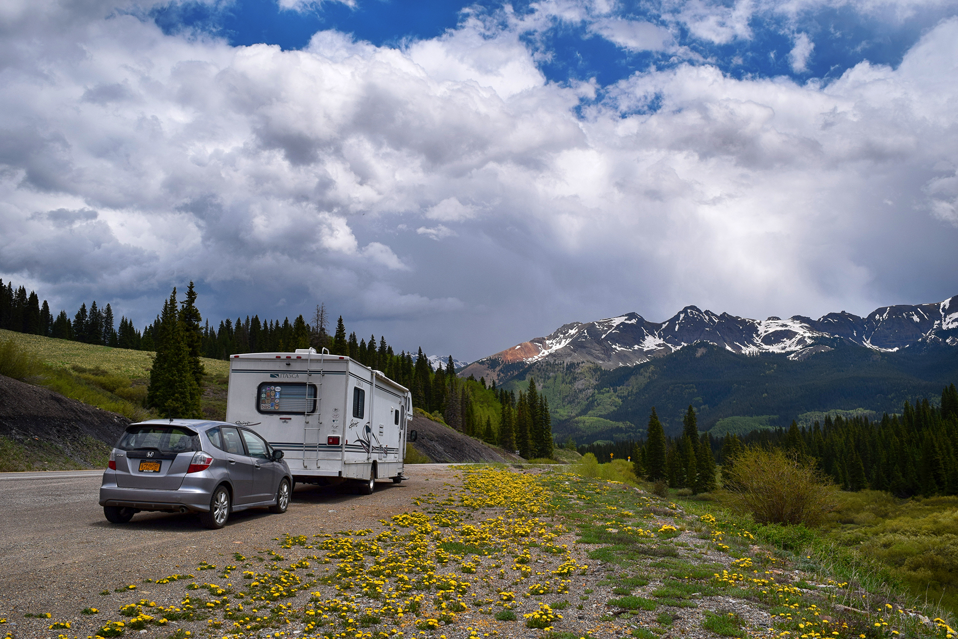
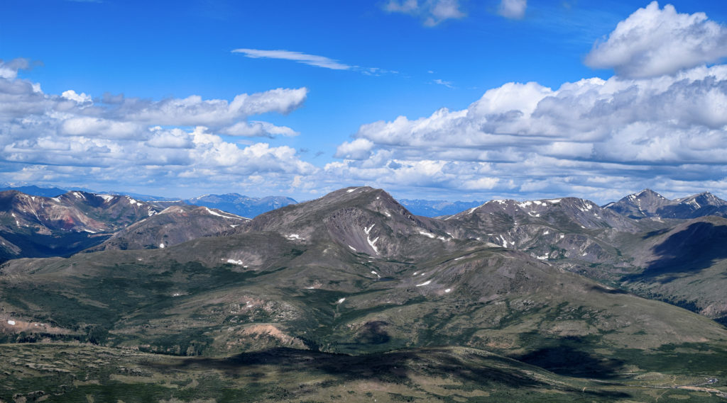
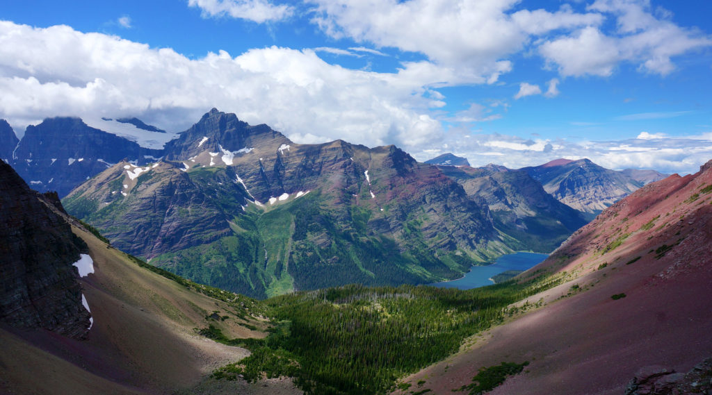
We were a little nervous after our disastrous drive on Utah’s Scenic Highway 12, but Highway 145 was smooth sailing.  The views were magnificent the entire way, and when we stopped for a quick picnic lunch at the highest point, Lizard Head Pass, we just had to take a picture.  The result was one of our favorites from the trip.

As usual, getting back down from the mountain pass was trickier than getting up, but careful braking and our RV’s extremely non-aerodynamic profile helped us descend safely.  We soon made it to the wide-open RV park near Montrose, and if the CVS in Cortez had been exciting, the big-box stores here made us positively giddy.  It had been over a month since we had been in any kind of real city (Salt Lake City), and the dusty tourist towns of Moab and Kanab just can’t quite scratch the itch.

We will happily wander for 40 days in the desert, so long as there’s a Target at the end.

The Black Canyon of the Gunnison

We stayed in Montrose to visit the nearby Black Canyon of the Gunnison, a national park with a foreboding name.  Although obscure, it turned out to be well worth visiting.  The Black Canyon is named because it is so deep and narrow that sunlight almost never reaches the bottom.  The deepest spots receive only 33 minutes of sunlight per day.

The “Gunnison” part of the Black Canyon of the Gunnison is a swift-flowing river, and it carved the canyon over the course of millions of years.  Unlike the rivers that created most large canyons, however, the Gunnison did not have the luxury of cutting through soft sandstone and limestone.  Instead, the Gunnison carved the Black Canyon out of an incredibly hard type of rock called schist.

Because the rock is so hard, it lasts.  The oldest schist here is approximately 1.75 billion years old.

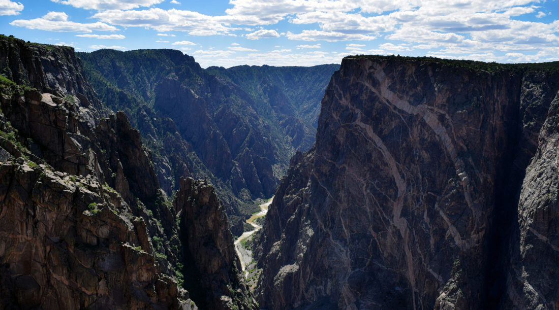
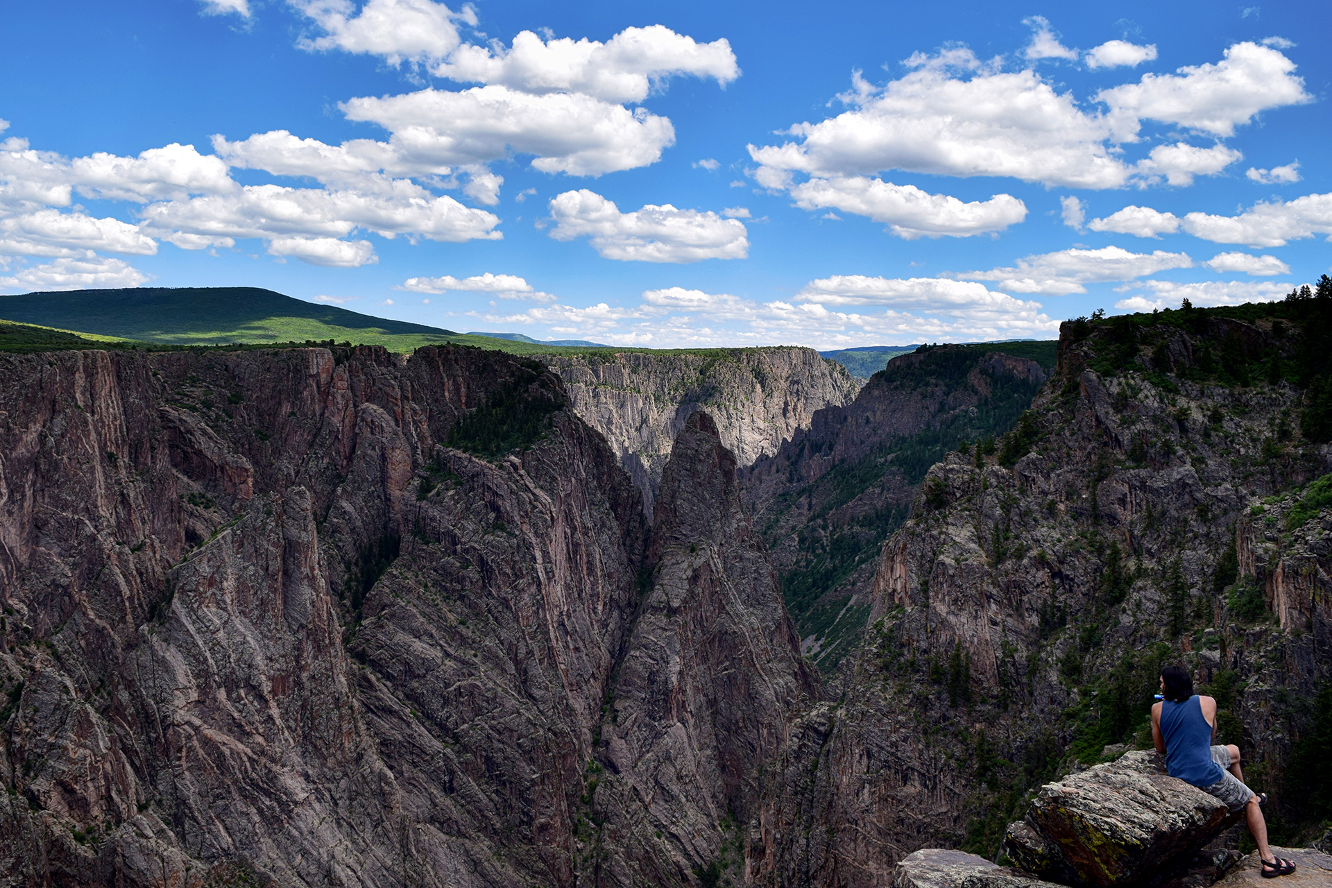
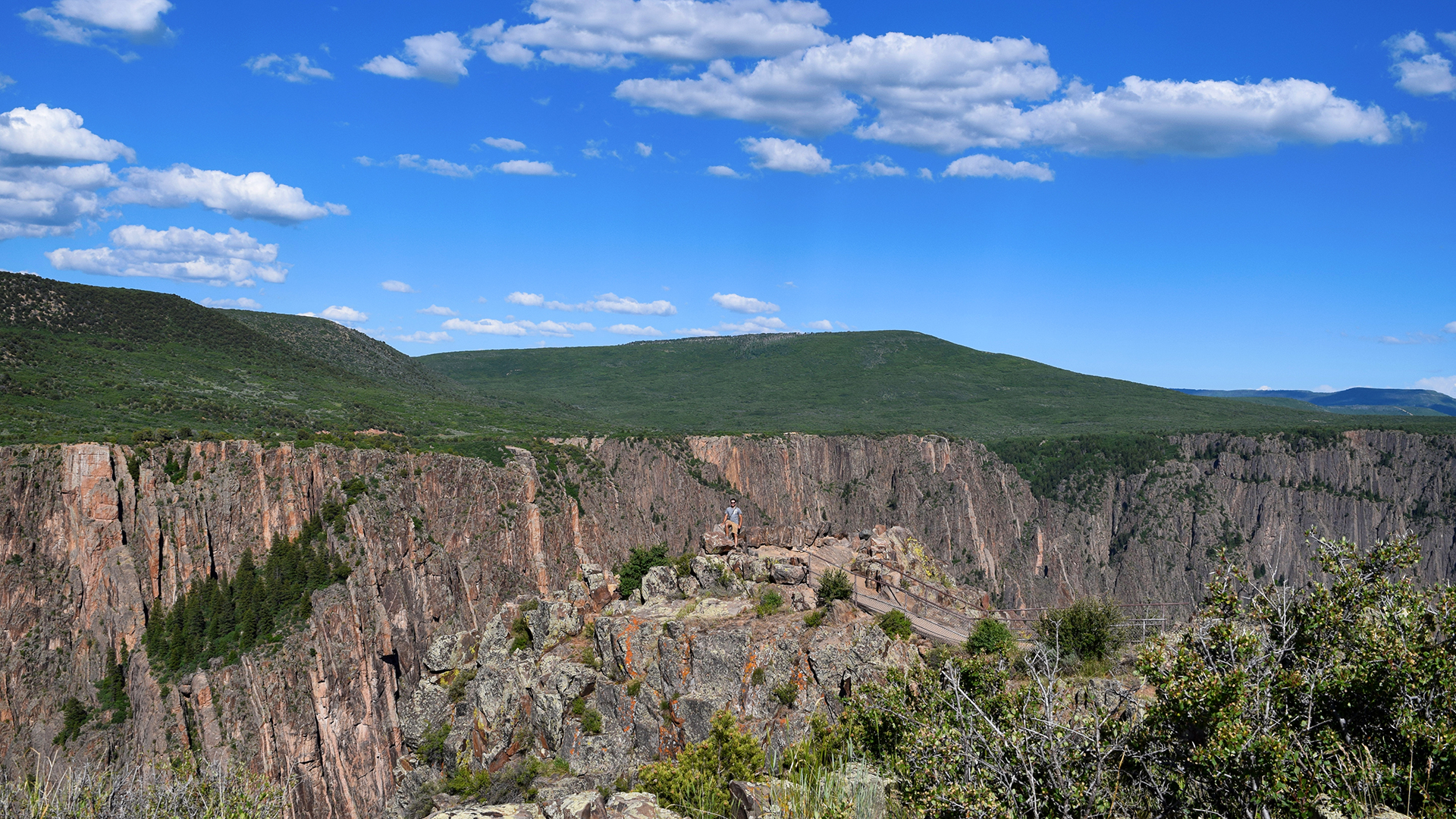
It all adds up to some rather striking views.  Can you spy Jake in the picture below?

The only reason the canyon is even possible is because the Gunnison flows with incredible fury during the late spring and summer.  At times, the flow rate of the water can exceed 8,000 cubic feet per second.  For reference, wading through the famous Narrows at Zion National Park is prohibited as too dangerous if the flow rate surpasses 150 cubic feet per second.

So, yeah.  8,000 cubic feet per second is a lot.  Venturing in is not recommended.

The Black Canyon looked amazing in person, but it’s tough to photograph because the angles are so sharp. It’s all knife edges and sheer cliffs, and the bottom really is dark.  On top of that, most of the rock is a uniform dark grey, although here and there it is slashed with beautiful seams (“dikes”) of lighter-colored pegmatite.

There are many, many overlooks, mostly between 100 to 300 yards away from the road (for some reason everything at the Black Canyon is demarcated in yards).  As national park completionists, we stopped at every single one, and we’ll just say – 300 yards each way may not sound far, but it adds up to a lot of walking!

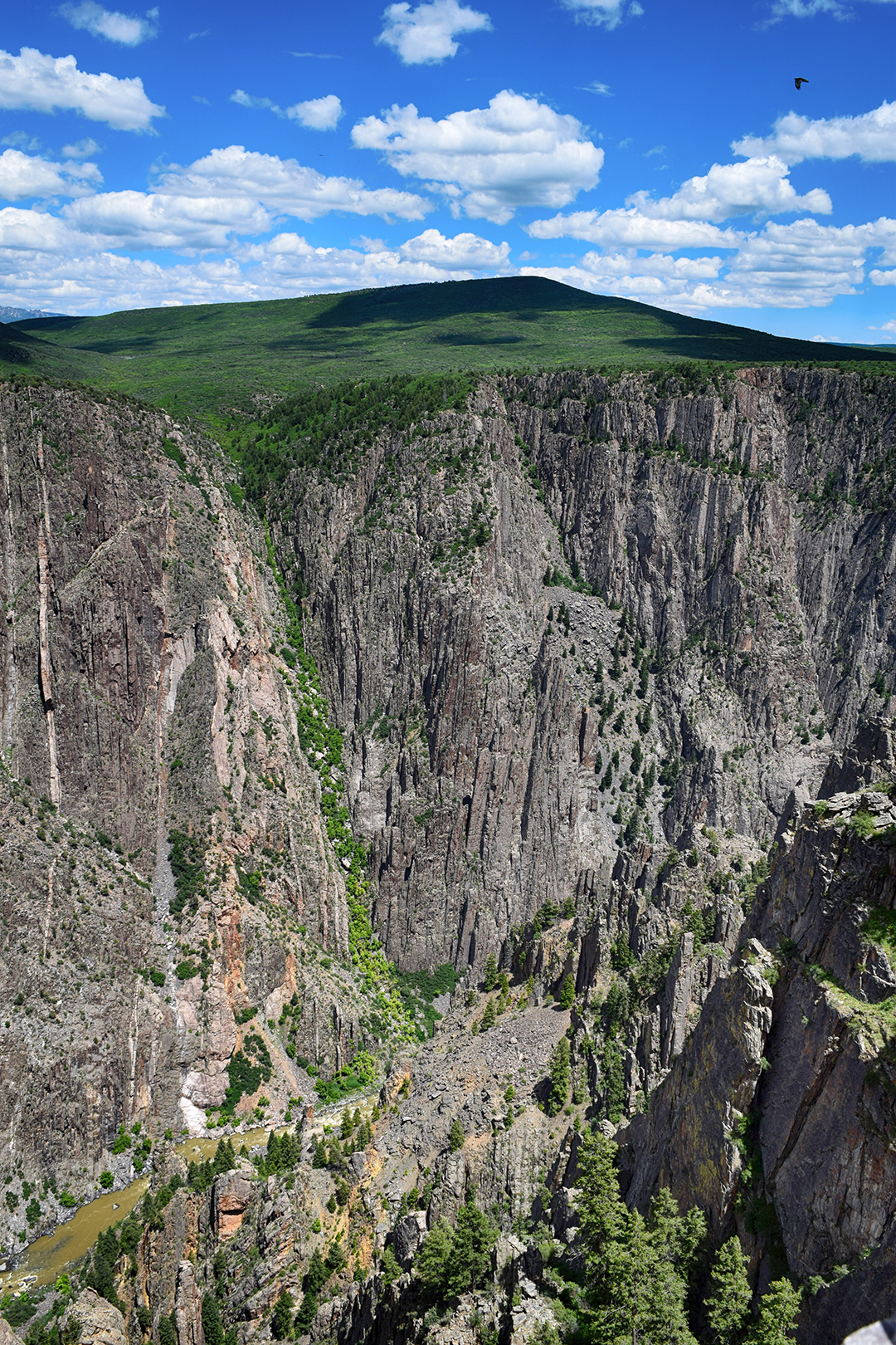
We really enjoyed one overlook near the end where the canyon widened a bit.  The cliff wall you can see in these photos is about 2,500 feet high. That’s more than 833 yards!

We also took a short but satisfying hike along the outer rim of the canyon.  The elevation was high so our breath was short, but the views out over Western Colorado were magnificent.

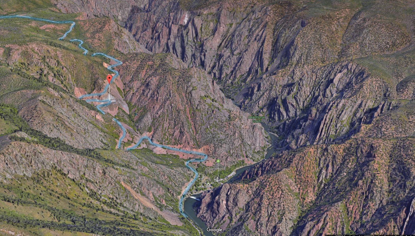
After checking out every overlook, we drove down to the Gunnison river itself.  The route there is called East Portal Road, and it is incredibly steep.  The road continuously switchbacks, and even so, it descends at a ridiculous 16% grade.  That’s far more than you’ll ever see on a highway, but our Fit handled it just fine, albeit only in first gear.

At least we got good gas mileage on the descent!

At the bottom, there was a diversion dam for the Gunnison irrigation tunnel and a tiny information and picnic area.  And… nothing else.  After poking around for a few minutes, we headed back up East Portal Road disappointedly, apologizing to our Fit the entire way as it churned its way back up the mountain.

This time, our gas mileage wasn’t quite so good.

Roadtrip Time Travel

Roadtrip Status

We’ve reached the end of our roadtrip!  We’re settled down in Denver, but we’re going to keep making blog posts and posting our favorite photos from the trip, so stay tuned for more.

Our trip to the Black Canyon was on June 14, 2016.

Follow Us On Social Media

FacebooktwitterinstagramFacebooktwitterinstagram

Latest Posts

0

Week 48.1: Capitol Reef National Park

Howdy, friends!  We’re back with another blog post, after an unexplained, 10-day downtime for our website caused by our hosting provider.  It wasn’t fixed until we tweeted at them, marking the first time Twitter has actually been useful.  That said, we can’t lay the blame entirely at our host’s digital feet.  We’ve been updating slowly for a couple of reasons of our own, the first being that we took a LOT of pictures at these national parks.  Heather has been doing heroic work in identifying the good photos and making them look pretty, but it’s a slow process.

The second reason is that we have been traveling once again.  We’ve just finished our most recent cross-country trek, from New York all the way to Denver!  This time there’s no follow-up, since we’ve reached the end of our roadtrip at last.  We’re in it to win it in Colorado, and we’re looking forward to its friendly people, sunny days, and apartments that don’t require “emptying the tanks” (especially that!).

Not to fear, we’re still committed to finishing these blog posts, even if they’re sadly falling further and further behind.  We hope you still enjoy reading about our untimely adventures as much as we enjoy sharing them.  So without further ado, let’s start our stationary life off by relating one of our biggest driving blunders.

Scenic Deathway

We last left off at the stunning Bryce Canyon, and from there it was a relatively short drive to our next destination, Capitol Reef National Park.  After reading about it online, we decided to get there via Utah’s Scenic Byway 12.  Now, if we weren’t piloting an RV, we would have loved this drive.  The terrain was rugged and beautiful; according to some informational plaques, this was the last uncharted region in the continental United States. In other words: this place is truly remote. An Army explorer surveyed it in 1871, and the road follows their route exactly, since there really is only one way through these mountains.

Wait, mountains?  Oh yes.  The road goes up and down constantly, through twisting canyons and along the long, exposed spine of a mountain ridge – a section called, fittingly, the Hogback. Imagine an elevated roadway with cliffs on either side; we were a little busy for photos, but here’s an awesome picture we found on the Internets.

In other places, just to keep things interesting, the stone alongside the road was Utah slickrock, which looks and feels exactly like it sounds.  The views were awesome, but this was a very bad drive to make a mistake.

The online discussions we read said that this road was fine for RVs, but good lord, it was not. We soon found ourselves in a nightmare drive, the road twisting and turning while ascending and descending steeply.  This is bad news if you’re in a 12,000 pound vehicle pulling a car behind it, and although our motorhome is a total beast, we had to pull over several times to let its brakes and engine cool down.

Finally, we reached the highest point on the drive, well over 10,000 feet.  This high up, a light drizzle had turned into a fierce hail storm.  At least it cooled the engine!  We stopped at an overlook for a quick photo of the view, and since the entrance was narrow, Heather hopped outside to check for oncoming vehicles before we returned to the highway.  Given the all-clear, Jake drove up to Heather and stopped the RV to let her back in.

That’s when a sheet of slushy ice slid off the roof directly onto Heather.

Luckily, we were nearly to our destination, because the atmosphere for the rest of the drive was a little… chilly.

Capitol Reef

At last, we made it to the tiny town of Torrey, Utah, population about 300. There were a few restaurants, but unfortunately for your hungry correspondents ,there was no grocery store.  So, we walked across the street to a gas station convenience store to see what we could find, and came away with some sliced turkey, ice cream, and Combos: the dinner of champions.

OK, on to the park, which we had frankly never heard of.  Capitol Reef is the least visited of Utah’s “Mighty 5” national parks, by far, and apparently it’s normally pretty empty.  But unfortunately for us it was Memorial Day weekend, so the crowds were out in full force. We had to skip a few of the more popular spots because there was no parking left – and woe be to the poor few rangers in the visitor center, at times literally surrounded by questioning visitors.

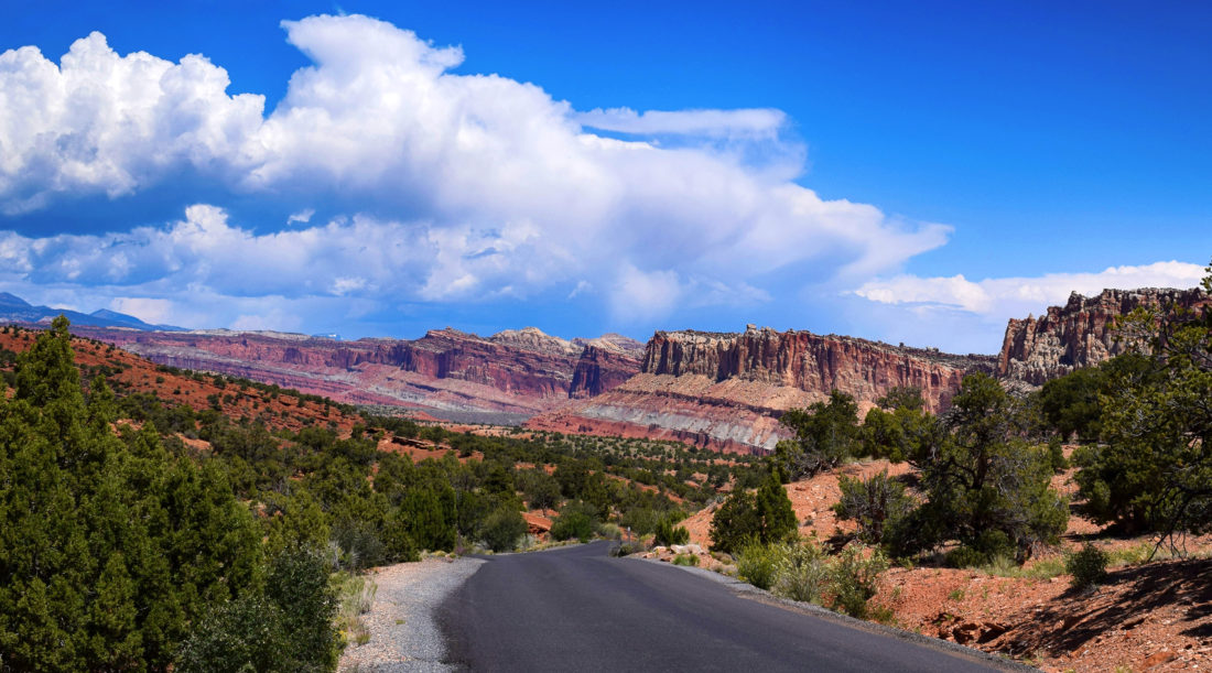
Capitol Reef is cool, but perhaps not quite as eye-popping as Zion or Bryce Canyon.  Nonetheless, it has plenty of charm.  The park covers the most scenic part of the “Waterpocket Fold,” which is basically a 100 mile long uplifted rock wall. It’s unclear whether the Fold has played any part in keeping out wildlings, but it does make for some interesting terrain.

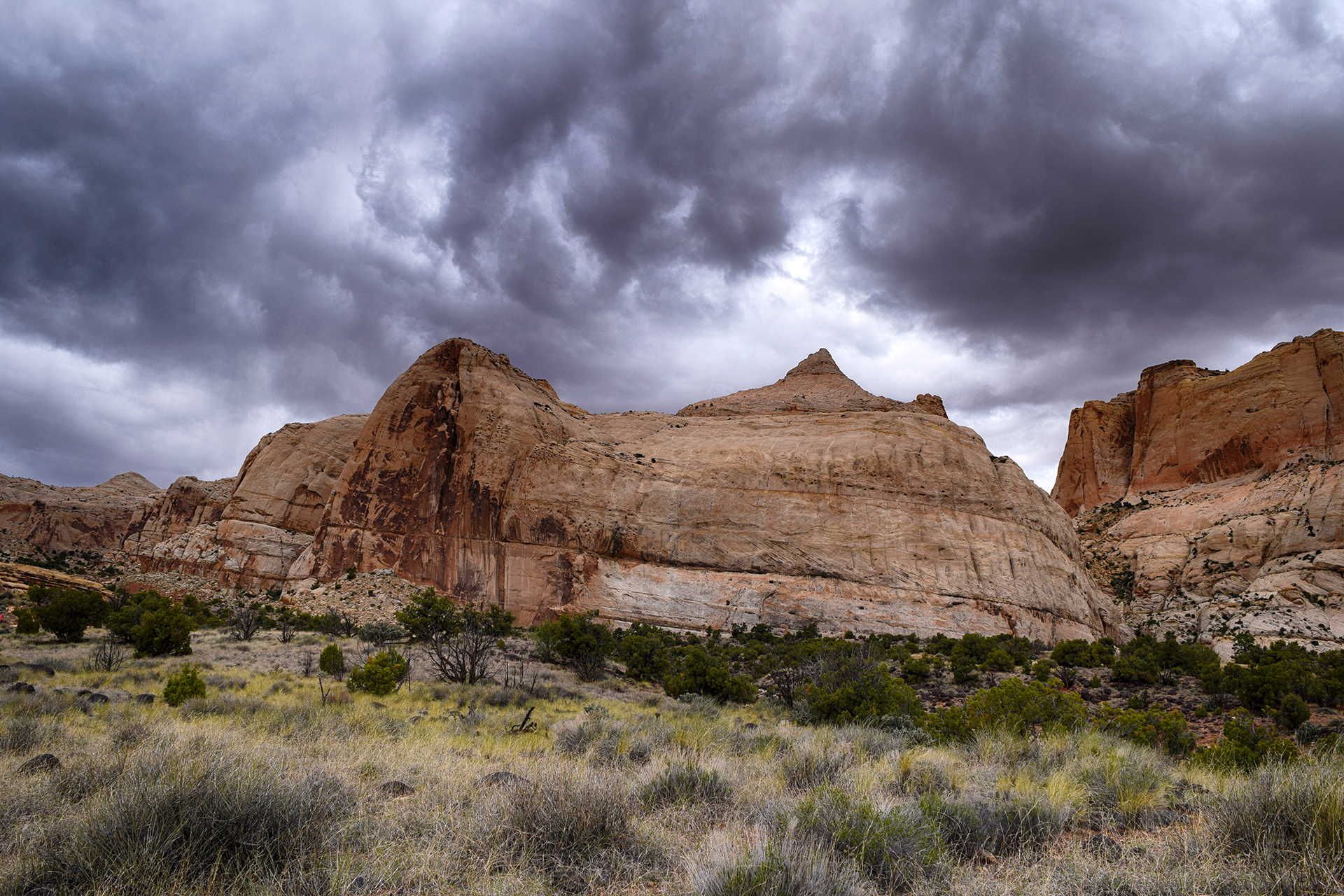
The most well-known feature here is a large rock dome that early settlers thought looked like the U.S. Capitol in Washington, D.C. “Capitol Reef” is a combination of that, plus the ocean reef-like Waterpocket Fold.  Unfortunately, our photo of the Capitol Dome doesn’t capture the most “capitol” angle of the rock, but you can see its pointy peak in the background – along with a fairly ominous sky.

On our first day, we took a hike up over the aforementioned slickrock.  There’s no real “trail” to speak of here, just occasional rock cairns (piles) suggesting a route over the dusty stone.

We got lost about 15 times in 20 minutes.

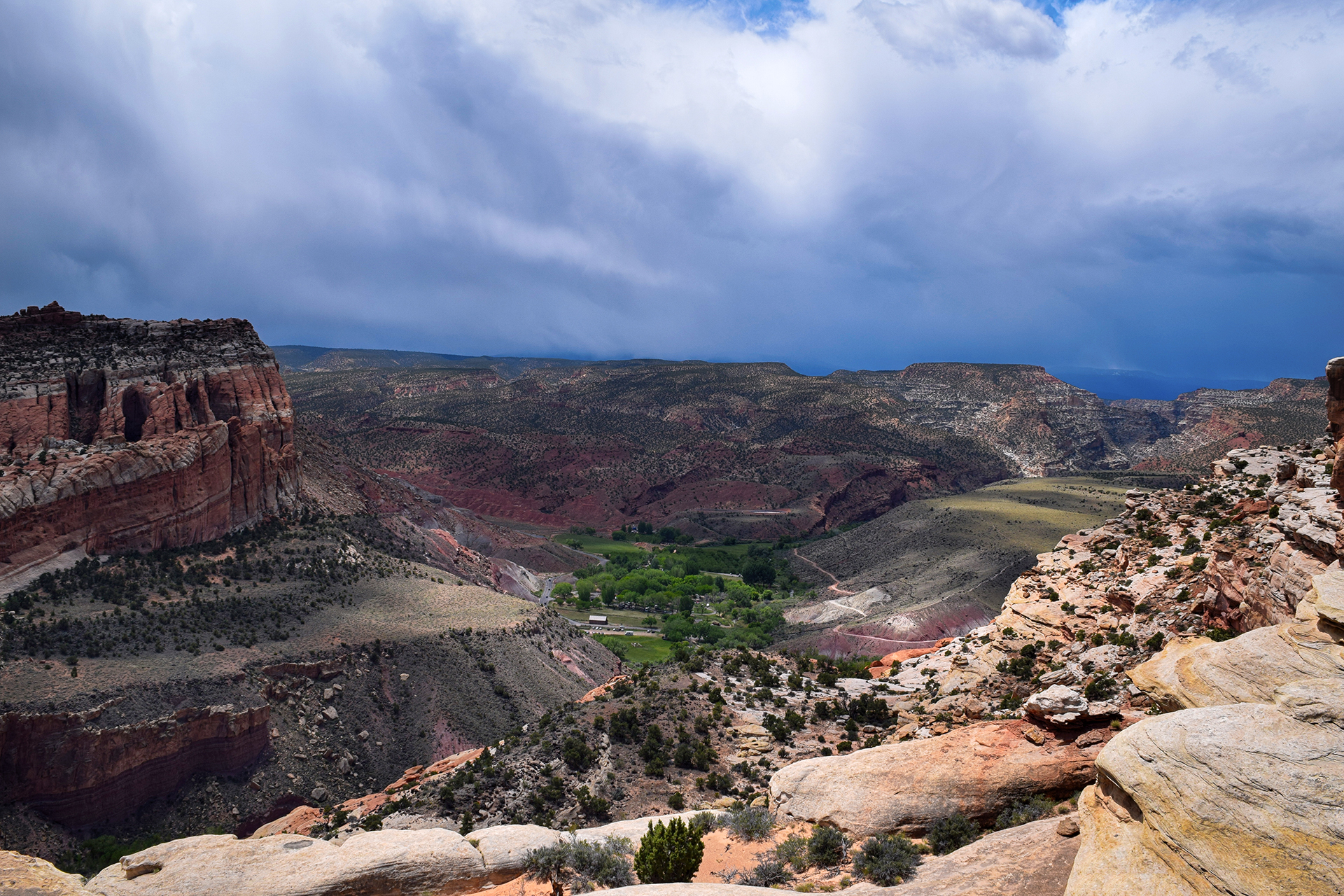
It was worth it, though, as we got a really cool view of the valley.

You can see how shockingly green it is in that valley below.  The river that carved that canyon still flows, and early pioneers took full advantage by planting numerous fruit trees, orchards of which still exist today.  We’ll get to them later.

You can also see an oncoming thunderstorm, and so could we, which is why this particular hike ended a bit early.

Into the Fold

The next day, we explored some of the area’s many natural canyons. The first one we visited was actually a former road, and once the only way through the Waterpocket Fold. We got there by driving through a slot canyon, an experience as epic as the Hogback but without the risk of falling off a cliff.

Early pioneers spent untold numbers of back-breaking hours removing boulders from this canyon to ease wagon travel. It’s a good reminder of how insanely difficult it was to settle Utah, and the incredible obstacles that early settlers somehow overcame… sometimes literally.

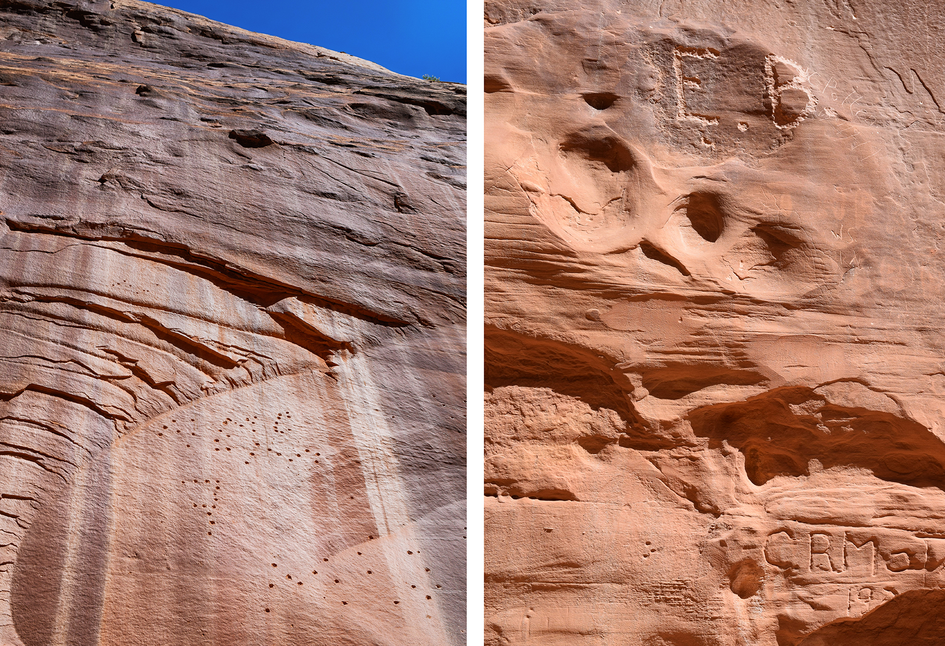
Speaking of early settlers, one feature of this canyon is a large number of pictograms drawn on the rock walls by Native American inhabitants. Later, Mormon pioneers created their own “graffiti wall,” tagging their name and the date. Our favorite was the person who signed their name using bullets, a method of which cartoon 1920s gangsters would surely approve.

Next, we headed to the Grand Wash, a huge slot canyon carved away by rushing floods. It’s absolutely stunning in person, just these gigantic rock walls on either side with almost nobody else around.  We recommend taking a look for the people in these pictures to get a sense of how massive this canyon really was.  Few things have made us feel more awed or insignificant.

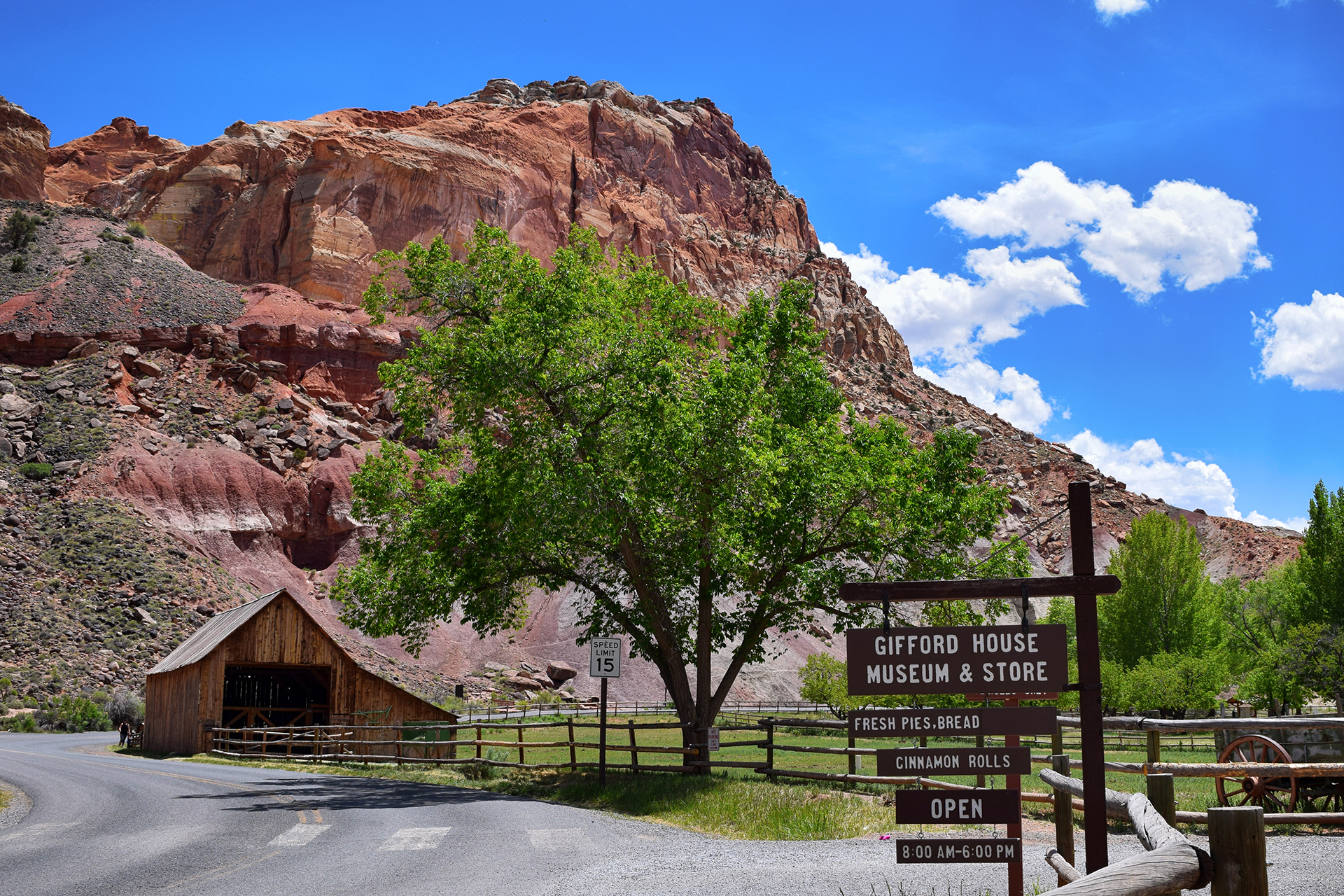
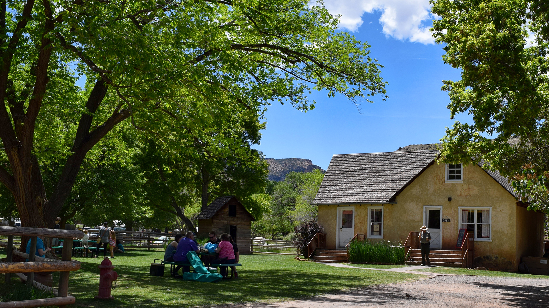
Our last stop was equally exciting, but very different.  We mentioned that the orchards in this area still bear fruit, but it doesn’t go to waste. You can pick it yourself (although we were out of season), and the National Park Service actually harvests the rest for use in baked goods, sold in an adorable little house on-site.

Pie proved to be a southern Utah obsession – we had just had some in Kanab (lackluster) Bryce Canyon (amazing) – and we are happy to report that the pie and cinnamon rolls we got here were delicious.

We saw a lot of great stuff on our road trip, but seriously: a pie stand in a national park!! Life just doesn’t get any better than that.

Roadtrip Time Travel

Roadtrip Status

We’ve reached the end of our roadtrip!  We’re settling down in Denver, but we’re going to keep making blog posts and posting our favorite photos from the trip, so stay tuned for more.

Follow Us On Social Media

FacebooktwitterinstagramFacebooktwitterinstagram

Latest Posts

0

Weeks 25-28: The Great Inception Road Trip

As we said in our last blog post, we stayed in Phoenix for two different weeks a month apart.  “But what happened in between?” you are probably wondering, helpfully.

“An adventure within an adventure,” we reply to your internal monologue, mysteriously.  “Travels within travels.  A road trip within a road trip.”

“You mean…?”

“That’s right:  we incepted our road trip.”

We must go deeper.

The Best Laid Plans

Our Inception road trip started with us in Phoenix in mid-December.  Our families live in Pittsburgh, Albany, Connecticut, and Long Island (among other places).  Our thinking was basically this:  instead of paying for expensive holiday plane tickets plus a rental car, or skipping out on our family and lazily hanging out in southern California for Christmas and New Year’s, let’s drive back to the Northeast!

Our plan was to travel light, move fast, and stop at a few places in the middle parts of the country we’d otherwise miss.  So we further thought: since it’s so far and we want to save money, let’s drive back in our Honda Fit tow car because it gets great gas mileage, instead of in our large lumbering RV!  Even though the RV is basically specifically designed for long-distance travel, and can store many useful things like “food” and “clothes.”

And that’s what we did.  Let’s start with an initial observation:  this was a terrible, terrible idea.  The drive ended up being 6,742 miles in 25 days, and most of it was through the most mind-numbingly boring terrain possible.  Q:  How much of Oklahoma or Indiana do you want to see?  A:  not as much as there is.

Thank God for podcasts!  Oh, and those cost savings?  Yeah… about that.  We actually spent far more on car repairs than we theoretically saved by driving.

But whatever.  We got to see the world’s biggest mailbox.

The Trip

Since we had basically nothing else to do, we documented our trip.  We took photos from the passenger seat, roughly every hour (or whenever it looked cool), unless it was dark. From those photos, Heather made the awesome video above, hand-animating the locations and travel lines for your viewing pleasure.

As you can see in the video, while driving those 6,700 miles, we visited the following places:

Drive East:  Phoenix -> El Paso, TX -> Roswell, NM -> Texas Panhandle -> Oklahoma City -> Nashville -> Memphis -> Pittsburgh

Holiday Social Travel:  Pittsburgh (Christmas) -> Albany -> Long Island -> NYC -> Connecticut -> Boston (New Year’s Eve)

Drive West:  Boston -> Pittsburgh -> St. Louis -> Kansas City -> Boulder, CO -> New Mexico -> Phoenix

Yes, it was a lot.  As we mentioned, this was a terrible idea.  A big thank you to all the friends and family who let us crash with them overnight.

Also, you may notice we cleverly left ourselves in Boston for New Year’s, making the drive back as inhumanly long as possible.  S-M-R-T smart

Stats!

Since we (Jake) are (Jake) nerds (Jake), we went beyond photographs, and kept a few stats during our trip.  Here’s what we’ve got.  All these numbers are from December 2015/January 2016:

  • Unique overnight locations: 13 (Pittsburgh twice)
  • Longest stretch of straight road: A mind-blowing 28 miles without a curve in New Mexico, north of El Paso
  • Construction zones: 63 (immediately regretted tracking these)
  • Earliest advertisement: “The Thing”, 106 miles in advance
  • Tumbleweeds: 0 (unexpected result)
  • Animals in road: 2 (cat, German shepherd)
  • Times we cursed our decision not to fly: too many to count

We also tracked our gas consumption:

  • Fill-ups: 27, for a total of roughly 209 gallons (avg 32.2 mpg – despite some engine troubles)
  • Best MPG: 41.3 (Alamogordo, NM to Friona, TX)
  • Cheapest gas: $1.57, in Hereford, Texas (if you like cows and low prices, this is the place to be)
  • Total gas cost: $424 (median price $1.93)
  • Number of times a gentleman kindly but confusingly paid for our gas: 1 (Pueblo, CO)

And finally, a few photo/video statistics:

  • Number of photos taken: 1,268
  • Number of photos used: 210
  • Number of those photos borrowed from Google Street View: 10
  • Days spent making: no comment

Dispatches From The Road

Since we are professional road-trippers, you won’t be surprised to learn we stopped to sightsee a few times along the way.  There’s a lot to get through here, so we’ve tried to slim it down; we’re not going to bore you with an account of, like, the sandwich and beef jerky store we went to in Oklahoma (literally the only non-fast food or chain restaurant within 60 miles).  Oops, guess we just did that anyway!

…Aliens

After staying overnight in El Paso, we drove northeast to Roswell, New Mexico.  The drive to Roswell was beautiful, going up and over some mountains covered with snow-covered pines.  (New Mexico always surprises.)  We have heard Roswell itself is a cool, artsy town given a bad rap by the ridiculous UFO tourism.  But like a government spokesperson, we can neither confirm nor deny those rumors, since we just went for the ridiculous UFO tourism.  A warehouse full of fake alien scenes you can take pictures with?  Yes, please!

A+++, would pose with aliens again.

Oklahoma City Memorial

We stayed overnight in the Texas panhandle, where literally the only restaurants were steakhouses.  Two in our tiny town; four in the next town over.  So, we got some steaks (kinda “meh”).

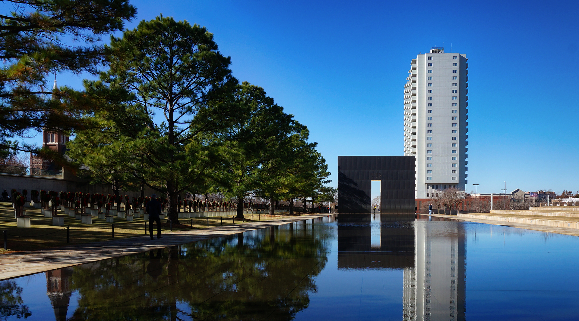
We stopped the next day at the Oklahoma City bombing memorial.  It is a touching memorial:  sad but serene, painful yet beautiful, and a reminder that extremism takes many forms.

We were quiet in the car for a while afterwards.

Memphis & Nashville

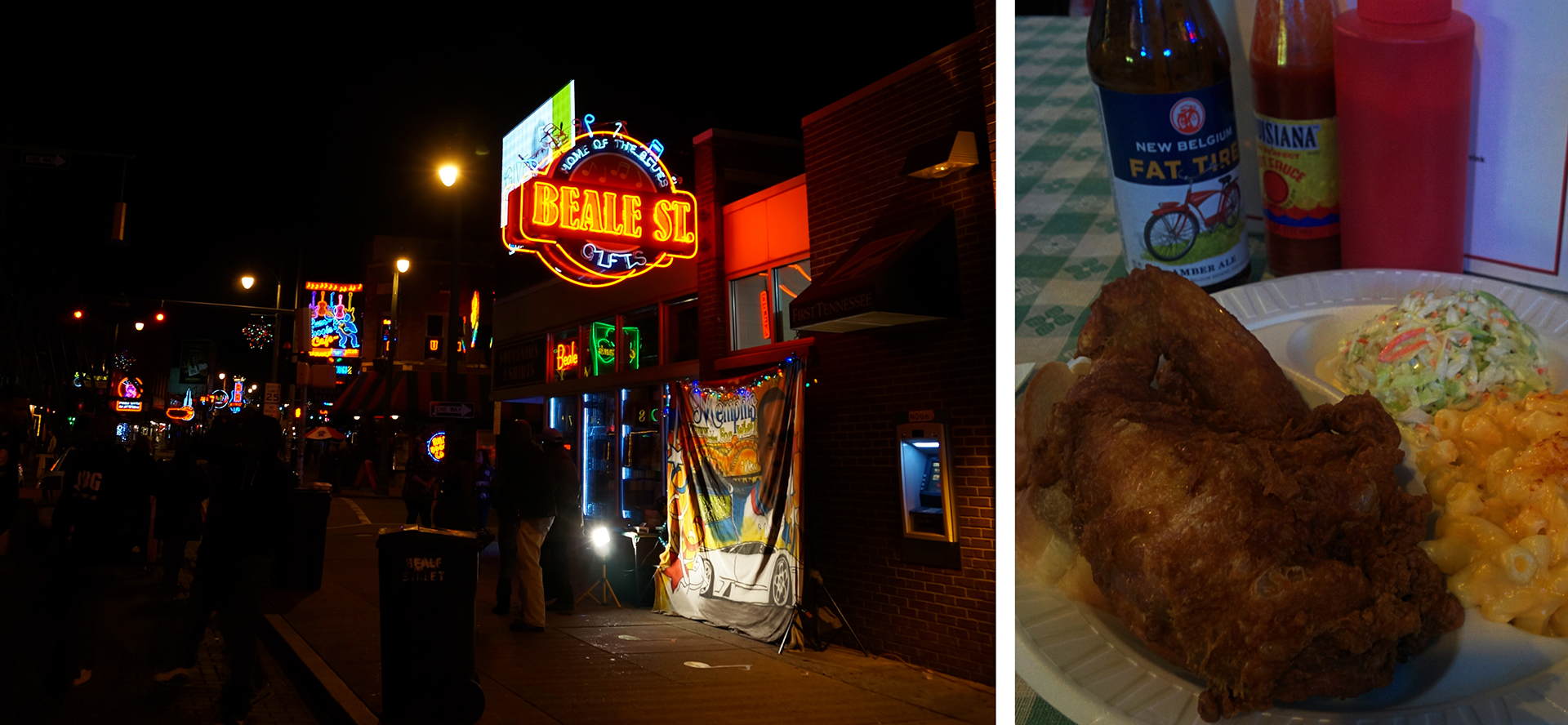
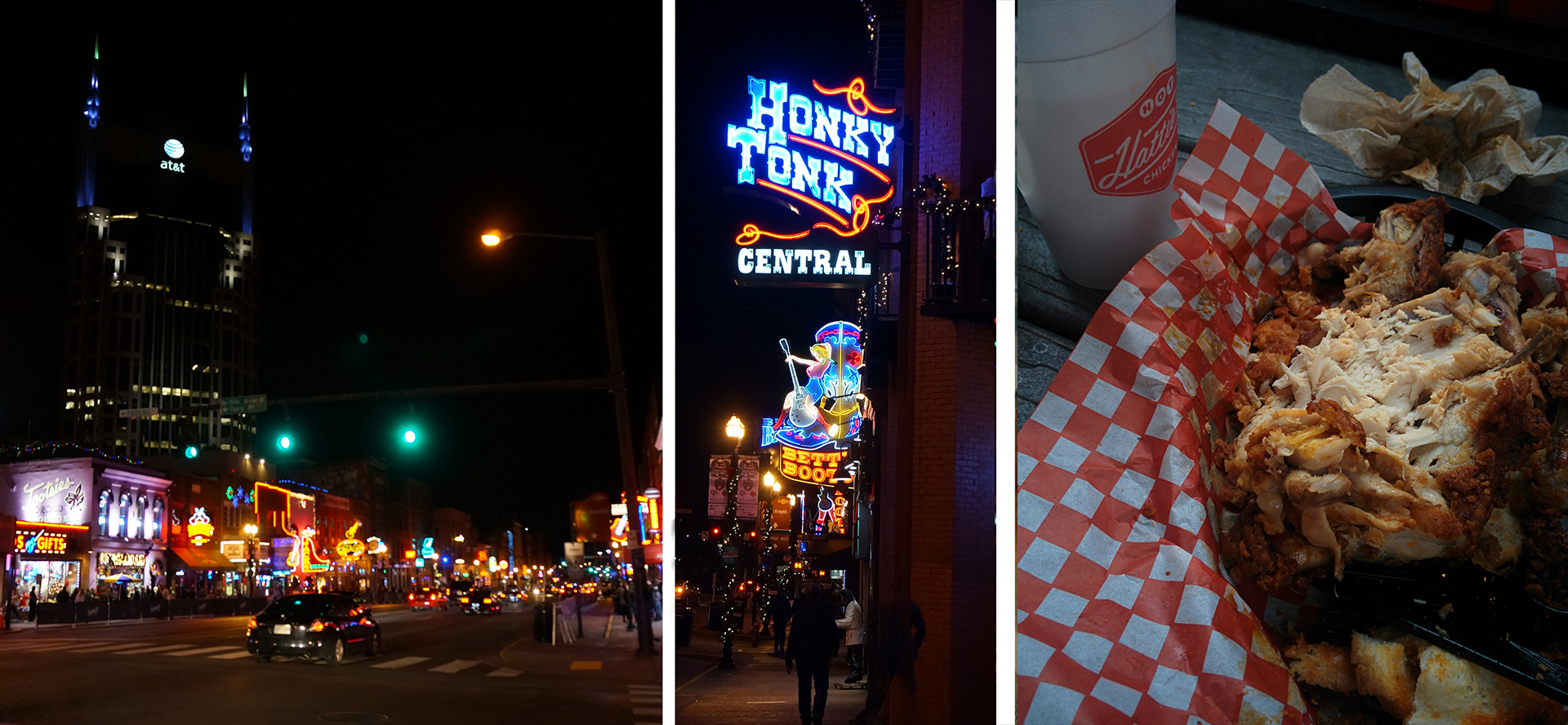
As a reward for three straight days of driving, we treated ourselves to nights out in Memphis and Nashville.  Both cities are legendary for their live music scene, but both were pretty quiet when we were there.  In fairness, it was 40 degrees out, and for Nashville, a Sunday night.  We also treated ourselves to some amazing hot chicken, a fried & spicy local delicacy.

As you can see in the above photographs, we clearly had completely different experiences in Memphis (top) and Nashville (bottom).

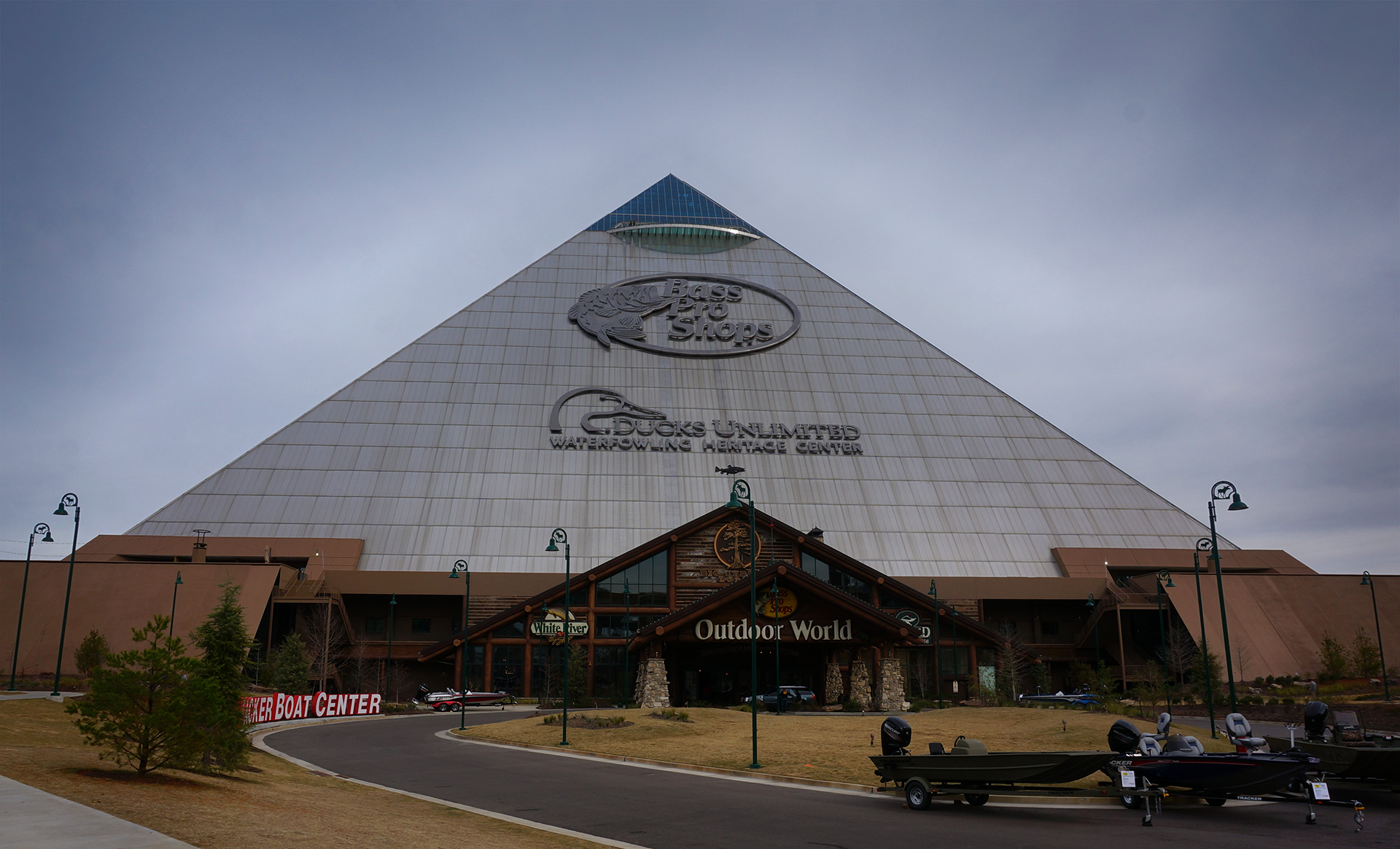
We skipped Graceland because of its unreasonable ticket prices, but we did check out one Tennessee attraction.  The Memphis Pyramid was built in 1991 as a sports arena and entertainment venue, and it’s huge:  the 10th largest pyramid in the world.

Although it used to be home to basketball teams including the Memphis Grizzlies, it hasn’t been used for sports since 2004.  Instead it has become… the biggest and weirdest Bass Pro Shop in the world.

It’s cavernously huge inside, although they tried their best to fill the space.  There’s a hotel, restaurant, archery range, crocodile tank, bowling alley, observation deck, and much more, plus the usual assortment of outdoor clothing and merchandise.  (They’re considering adding a zipline.)  Bizarrely, the entire place is decorated as though it were in a forest, so you can shop for sunglasses beneath the judgmental eyes of a herd of taxidermied deer.

A+++, would avoid paying $130 at Graceland to wander around inside a giant pyramid again.

Friends and Family

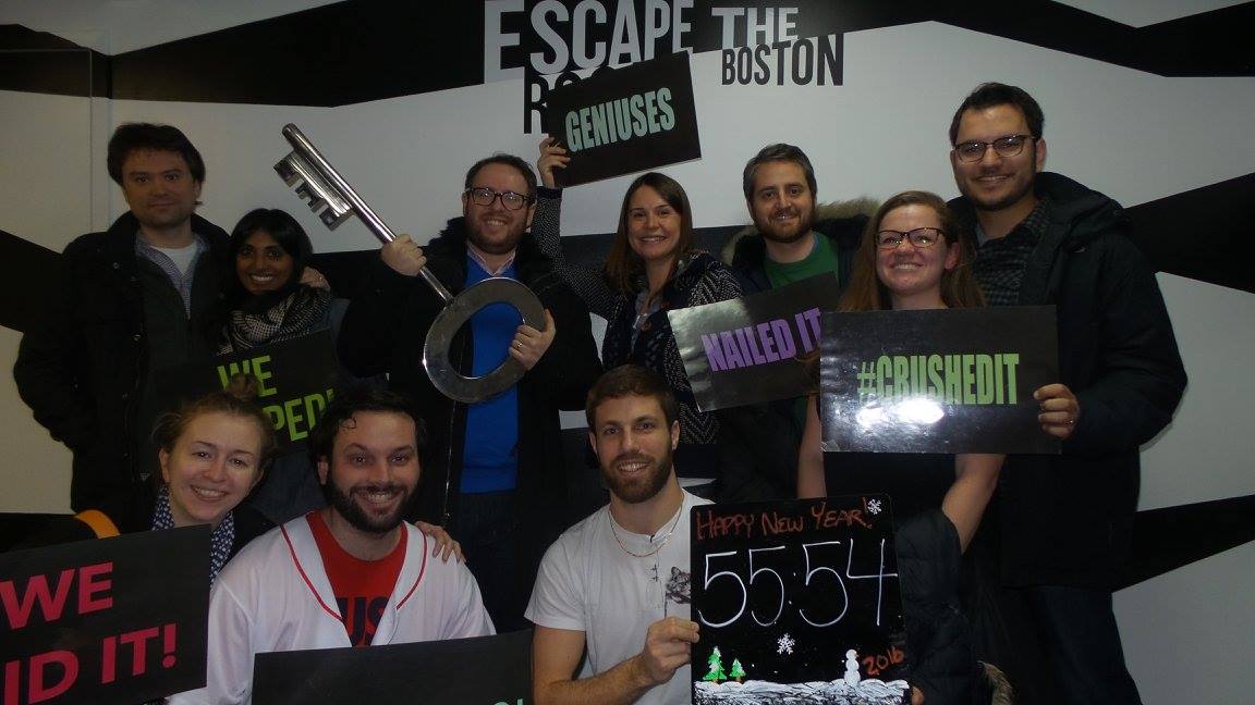
We don’t need to go into the details of Christmas and New Year’s, except to say that it was great to see everyone again.  Thanks again to everyone that let us stay with them!  We traveled all over the Northeast, had lots of great food, and even successfully completed an Escape Room.  (Sorry, El Pasoans.)

Casey At The Bat

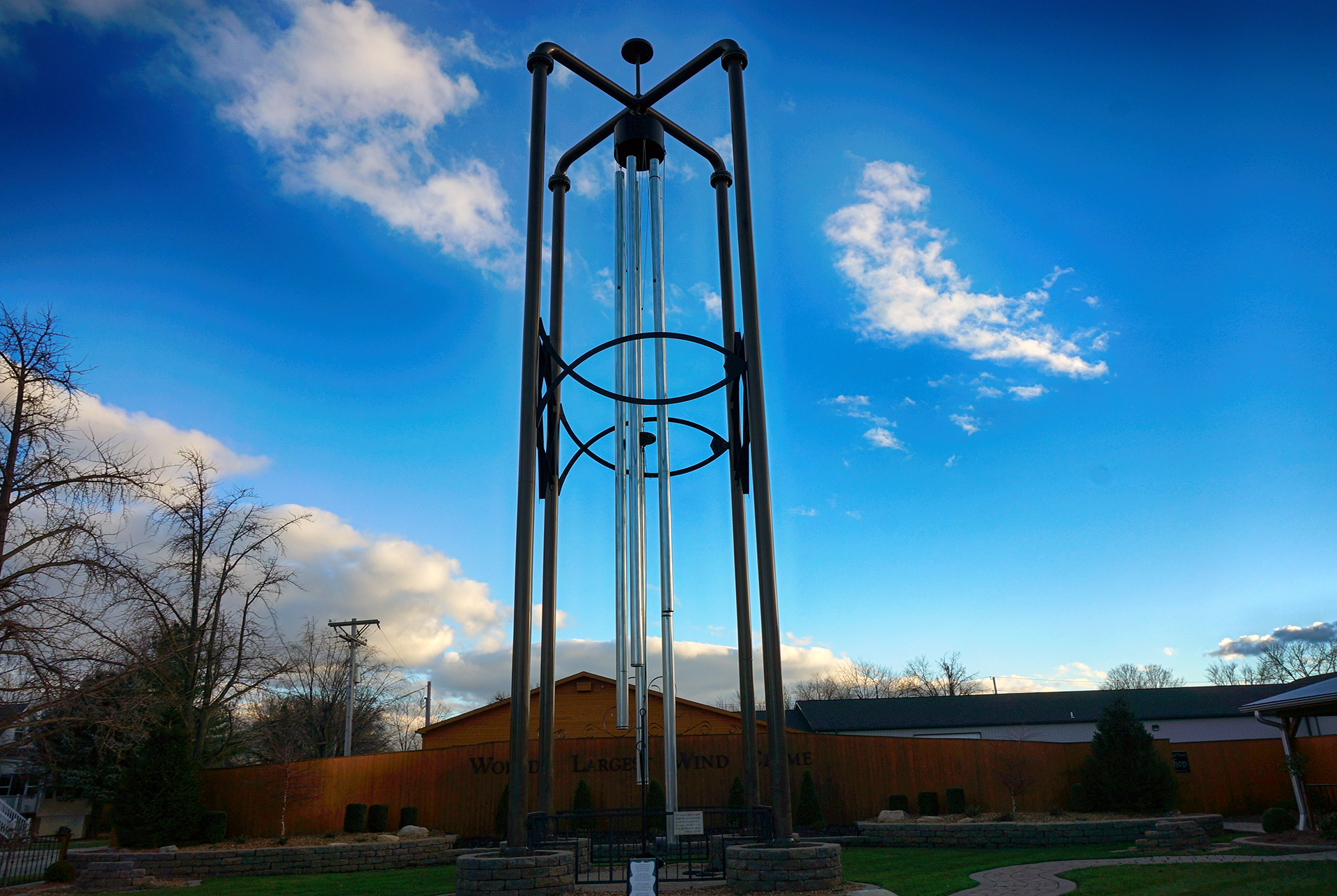
On our return trip, after a quick layover in Pittsburgh, we headed west towards St. Louis.  On our way there, we stopped to get gas in Casey, Illinois, a small town which turned out to have a big secret.  While fueling up, we noticed a sign promising the “world’s largest windchime,” a short drive into the town.  Since seeing the “World’s Largest X” is a staple of any road trip, of course we went to go check it out.

Well, the world’s largest wind chime was cool, but you know what was better?  How about the world’s largest rocking chair, right across the street?  And while we were admiring them both, an older gentleman advised us to go down the street a bit in the other direction.  We then found the world’s largest mailbox, pencil, and birdcage.

Yes, Casey, Illinois has been living out a quixotic dream to become our favorite highway rest stop ever.  They are officially the home to at least eight world-record “largest” objects, including a pitchfork, wooden clogs, golf tee, knitting needles, and crochet hook, with more planned.

A++++, best random roadtrip stop ever.  Better crane your neck upwards now to save time!

St. Louis & Kansas City

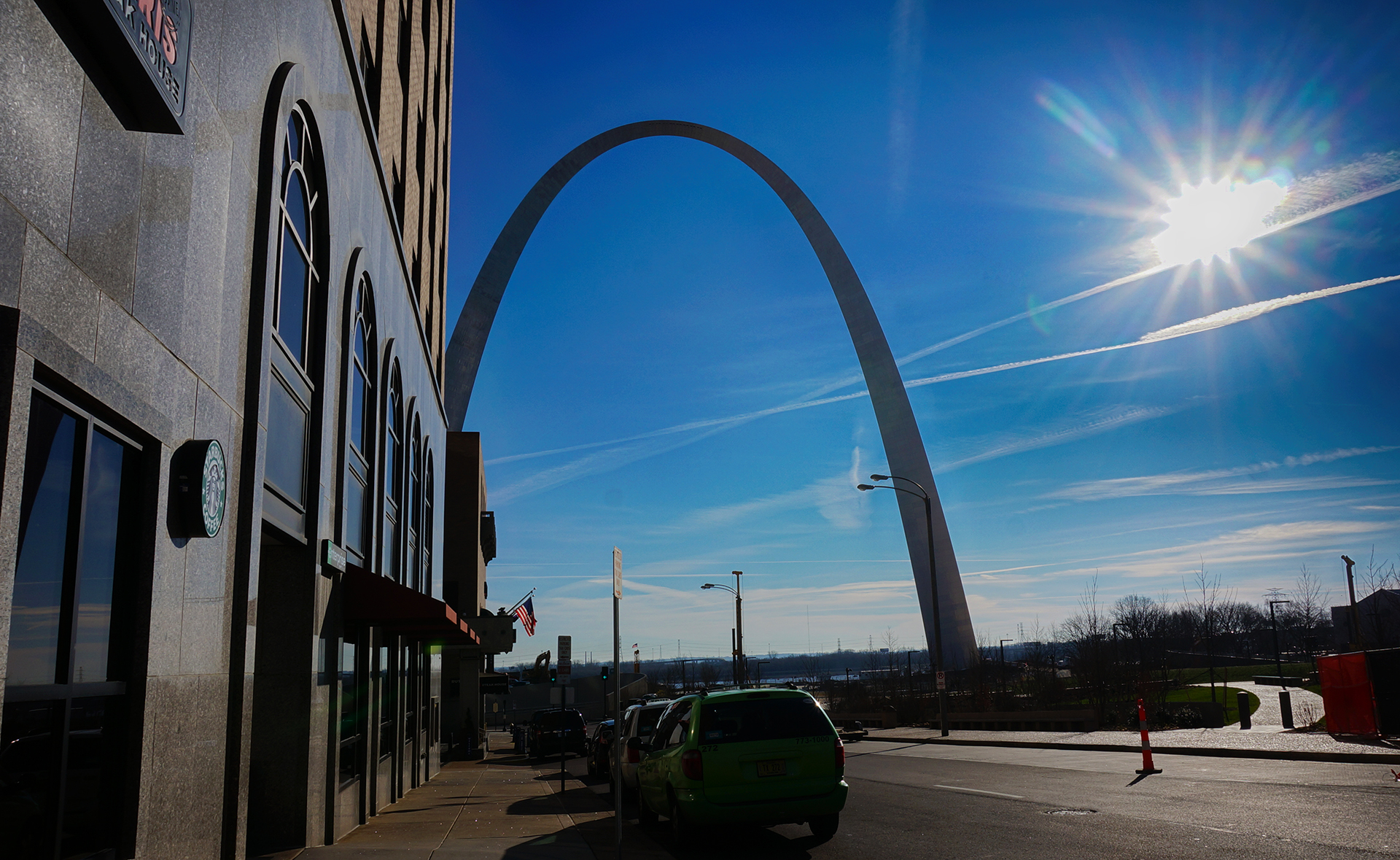
We were treated to a beautiful sunset outside of Casey.  That place never stops giving!  The next morning, we did our best to see the St. Louis (“Gateway”) Arch.  Unfortunately, the Arch is under construction at the base, so our shots had to be carefully framed.  Also, it was freezing.  But hey – at least there were no crowds!

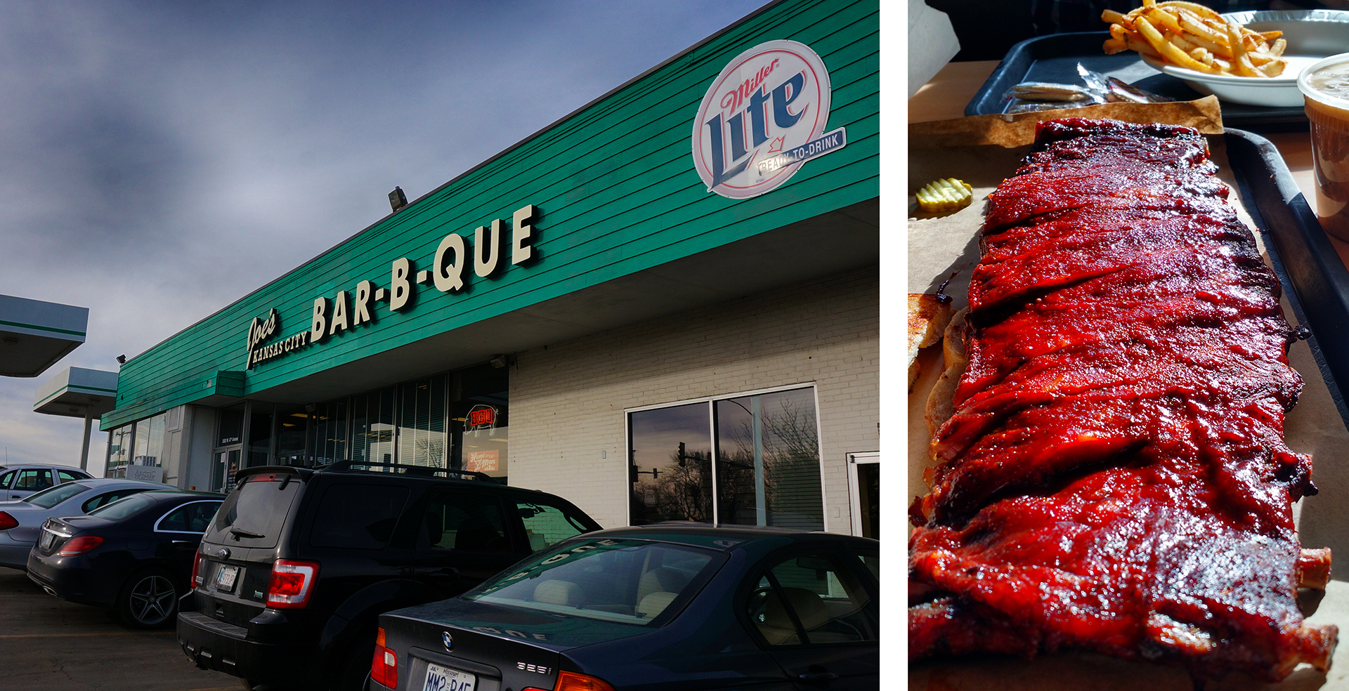
We kept moving, and stopped for lunch at Joe’s Kansas City Bar-B-Que, a multiple-award-winning rib joint famously located in a gas station mini-mart.  That description is slightly misleading – it’s more like they share a parking lot – but holy crap, the ribs were amazing.  The flavor was quite mild, but they were cooked to such tender perfection that our mouth is watering just thinking about it.

A+++, would eat way too much then slip into a food coma again.

Rocky Mountain High

Taking advantage of the time zone changes, we blasted through Kansas and made it in late to Boulder, Colorado, to see Jake’s sister Kate.  We had a really good time, hiking, hanging out, and drinking plenty of beer, made all the more enjoyable due to the warm, sunny weather.  “Hmm,” we thought, “maybe Colorado should be at the top of our ‘move-to’ list.”

Then, of course, the weather changed.  Our plan called for us to head west over the mountains and see a National Park or two, maybe even the Grand Canyon, but the sudden snowfall made that impossible.  We ended up having to stay an extra day (thanks Kate!), before we headed back to Phoenix via the “easy” route.

Of course, “easy” is relative here.  We still had to slog through slush and snow on the highway, on tires we were later told were “almost completely bare.”  Yikes!  There was so much sand and dirt on the road, we went through nearly an entire container of windshield wiper fluid just to be able to see.  But we eventually made it over the Raton Pass – at a mere 7,800 feet – and were soon in familiar territory near Albuquerque and Santa Fe.  From there, it was smooth sailing.

Alpine, Arizona?

After one last blast in the eyes from the Albuquerque sun, we spent the night in Gallup, New Mexico, where we had some pretty amazing Mexican food.  Our last leg was in sight!

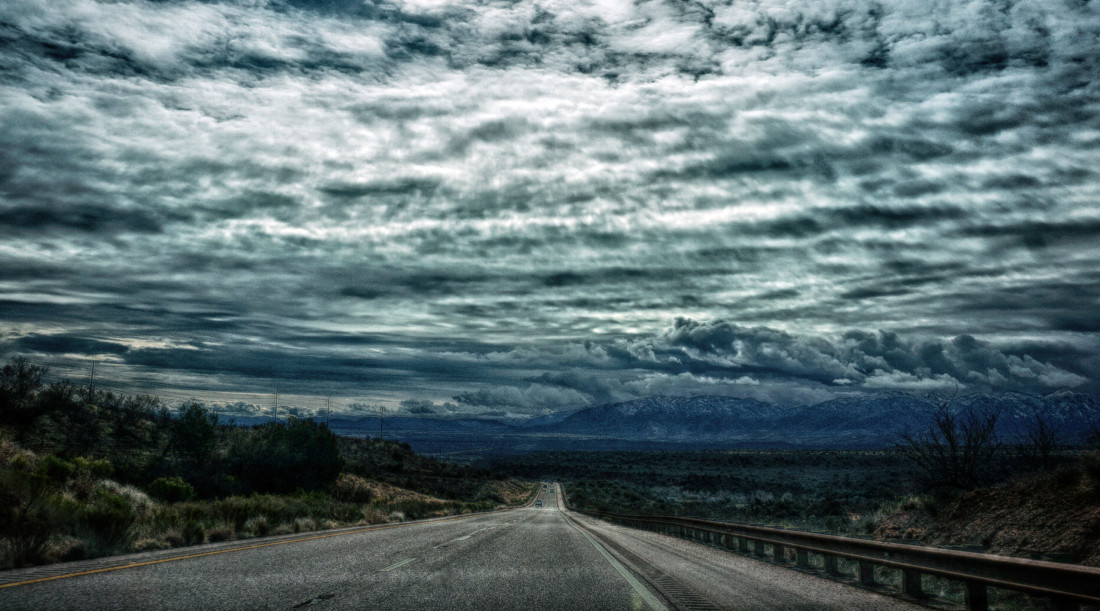
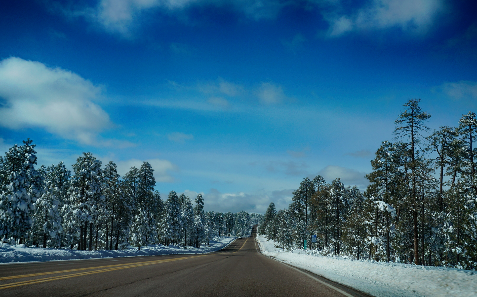
Since we had already traveled to Phoenix via Flagstaff, we took a different route, through Arizona’s Apache-Sitgreaves and Tonto National Forests.  It was a wise choice, as the road took us through a strikingly beautiful alpine forest, covered with feet of snow (thankfully not on the road this time).  The experience reminded us once again that we know nothing about the geography of western states.

Homecoming

When we made it back, our RV was just as we left it.  Except the battery had died after weeks of not being charged, which meant the fridge had stopped running (it can run on propane, but needs a trickle of battery power to work).  Since the fridge stopped working, everything in our freezer had melted, leaving a disgusting soup of water, ravioli, potstickers, and of course, raw beef and chicken pieces.  Which we had to slowly remove via a turkey baster.

Ah well.  It’s like we always say: if your adventure doesn’t end with a disgusting soup of water, ravioli, potstickers, and raw beef and chicken, you haven’t been adventuring hard enough.

(Also, we need to borrow your turkey baster.)

Roadtrip Status

Still alive?  Check.

Where are you now?  Portland, Oregon, recuperating from a bit of travel and way too much video creations.

Next location?  We’re here for a week, then on to Seattle!

Follow Us On Social Media

FacebooktwitterinstagramFacebooktwitterinstagram

Latest Posts

1

Week 13: Charleston Style

Happy New Year from Nothing Mundane!  We’re back with another blog post, covering our visit to the friendly Southern city of Charleston, South Carolina.  We were planning to write about Savannah, Georgia, as well, but the post was getting way too long, so we’re going to publish that one separately.  Of course, we’re way behind as usual, this time around three and a half months; we were there in late September.  We’ve thought about jumping to the present time, but for now we’ve decided to keep writing about the past.  For more recent adventures, please check our Facebook and Instagram feeds.

In case you are curious, we figure that if we don’t write about our past travels, we’ll probably forget about them, and that would be a real bummer.  In some ways, then, this is all just a love letter to our future selves.  Hope everything is going well, Future Jake and Heather!  Sorry about all those life decisions we’ve been making.

Drinking In The Town

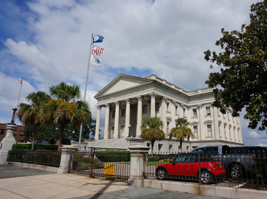
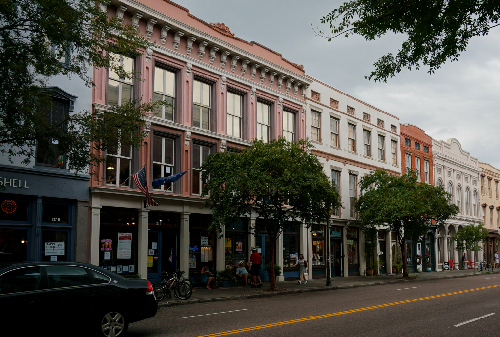
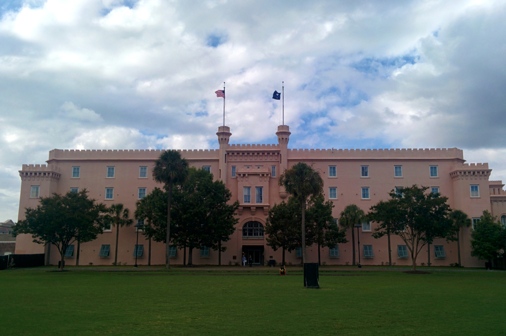
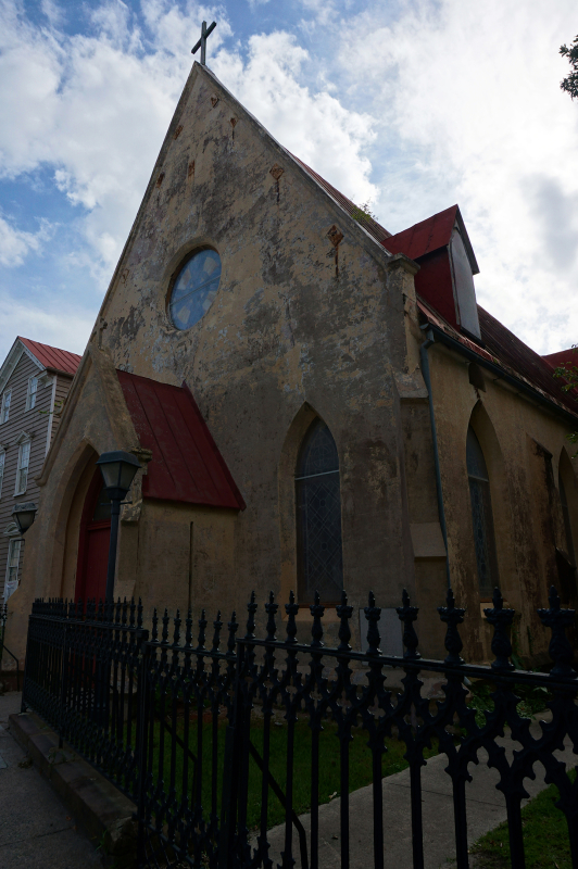
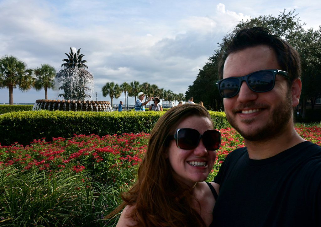
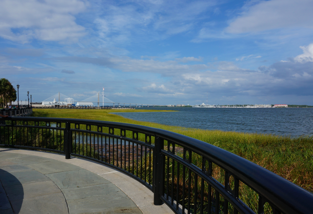
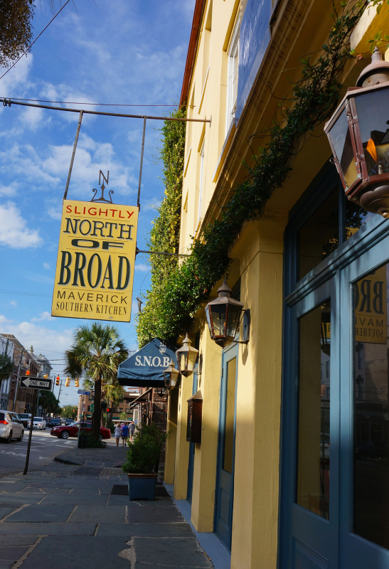
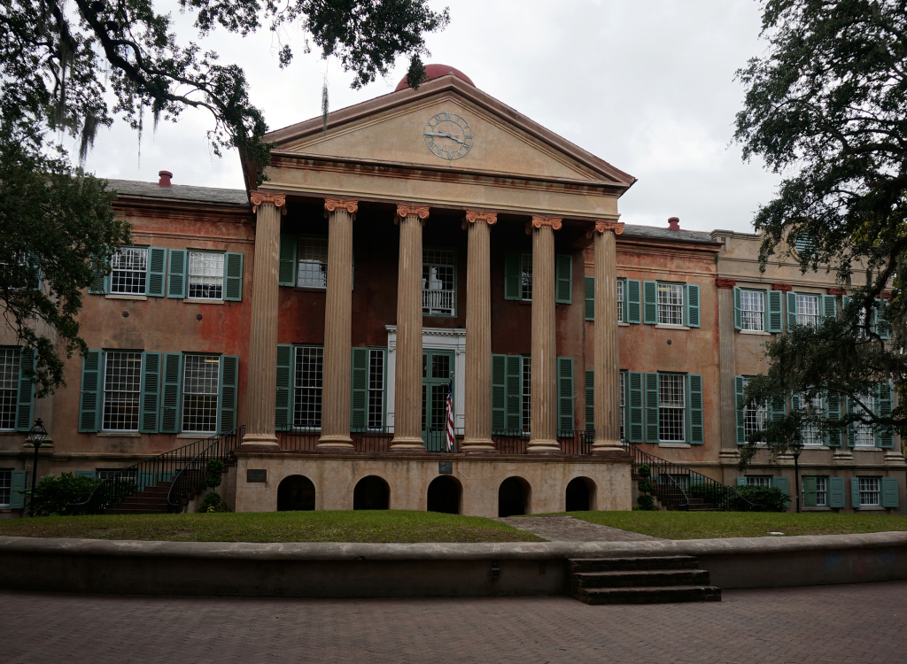
Charleston is a great Southern city with a lot of history.  The city is a lot of fun, and we had a good time walking around downtown and taking photos.  The water is lovely, as are many of the buildings, although quite a bit of the area looks like it could use a new paint job.  We had some incredible food in Charleston, and even went on a mini-pub crawl for Heather’s birthday.


Birthday cupcakes for Heather!

A photo posted by Jake and Heather (@nothingmundane) on

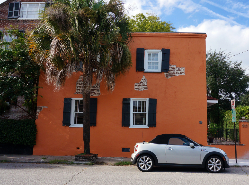
We took a million pictures because it was just so pretty. So many palm trees, bright colors, and beautiful buildings.

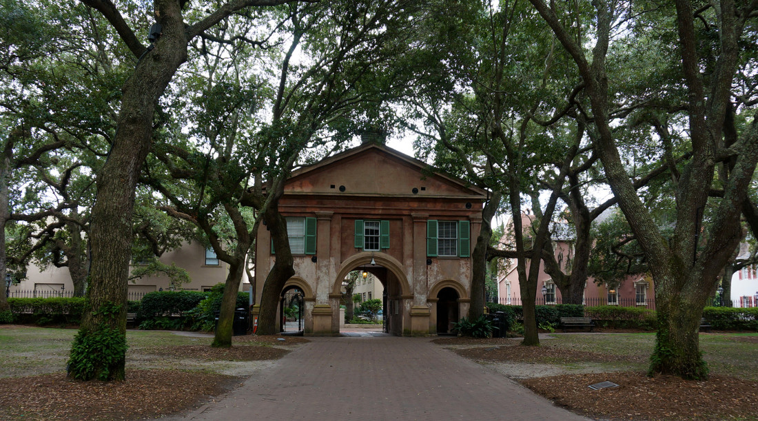
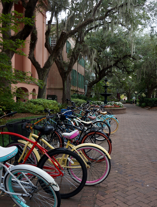
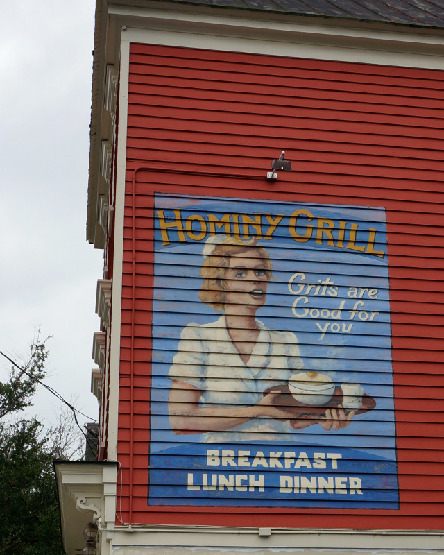
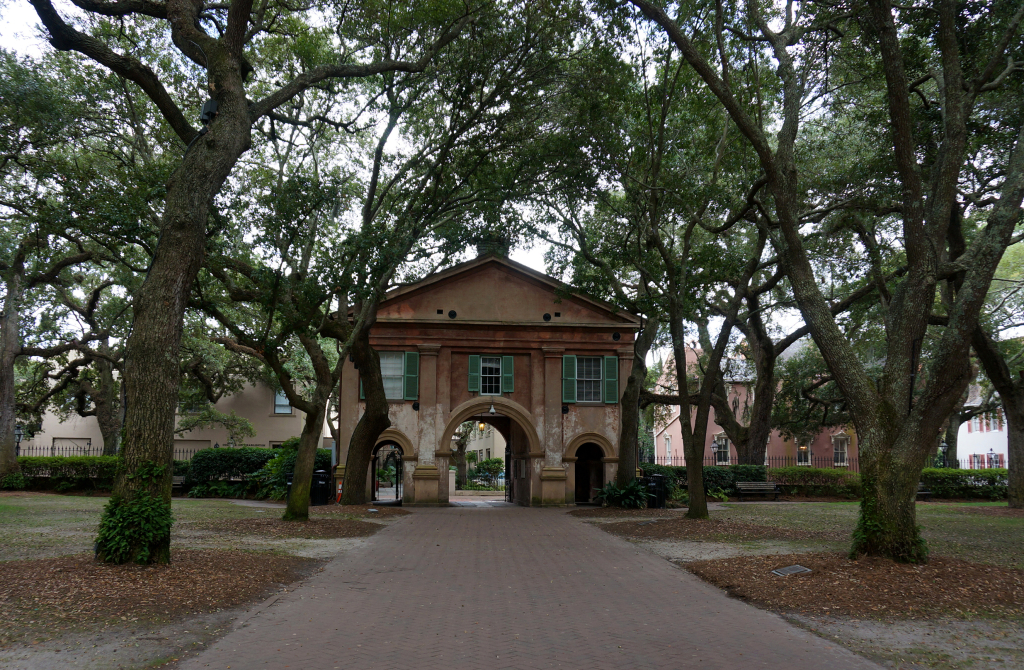
One highlight of our visit was over-stuffing ourselves with some traditional Shrimp & Grits and a “Charleston Nasty Biscuit” from the iconic Hominy Grill. It was probably the best fried chicken either of us has ever had.  We then tried to work off some of those calories by walking around the city, including through the beautiful campus of the College of Charleston.

We are total suckers for Spanish moss.

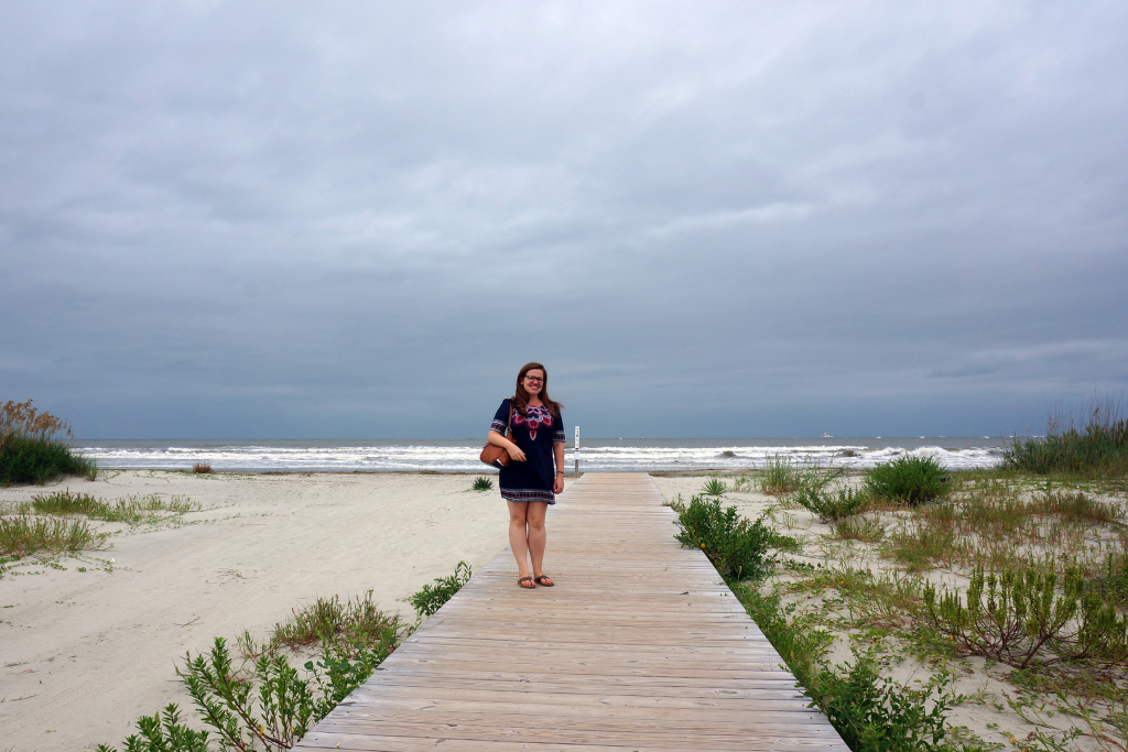
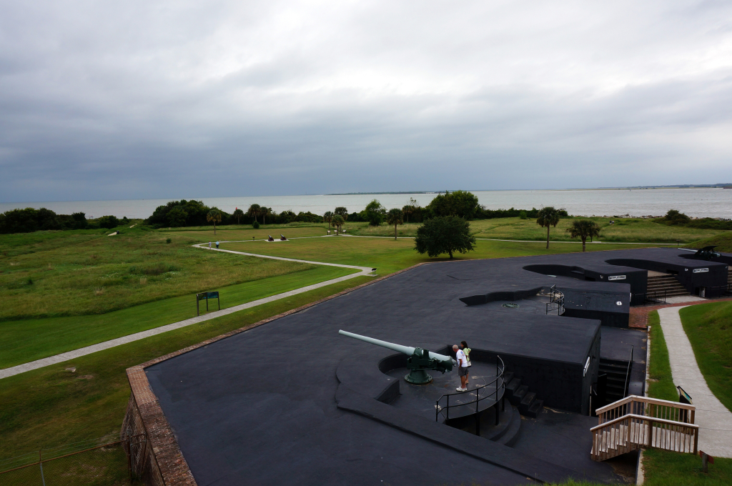
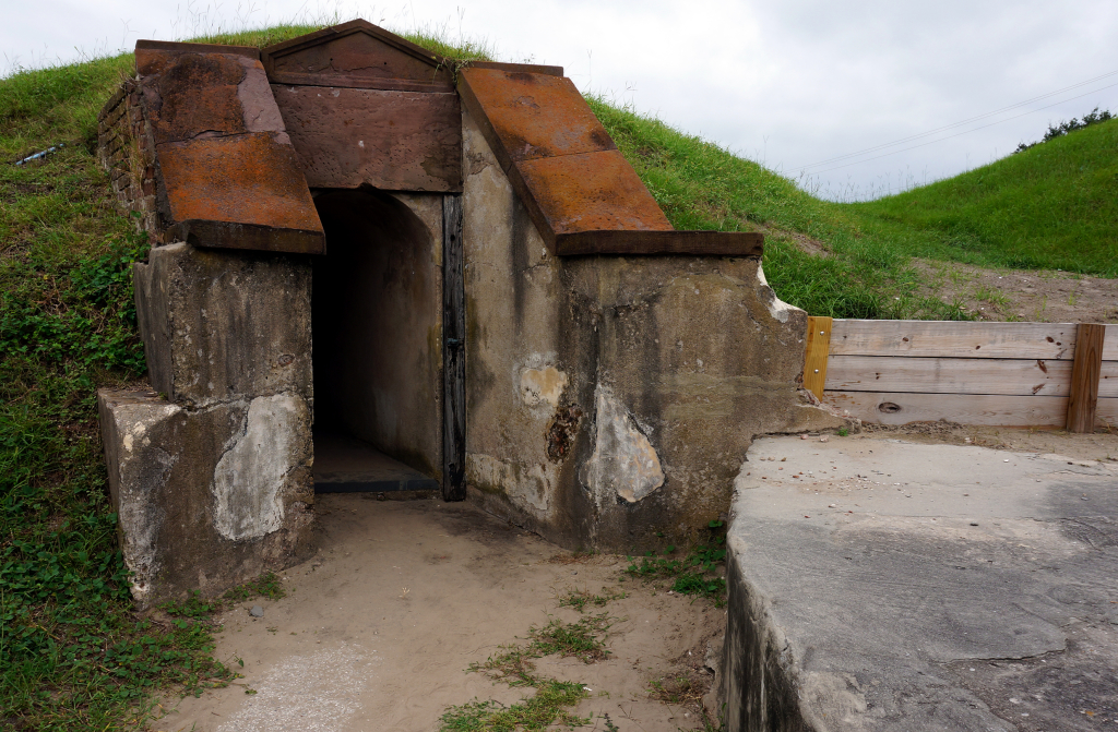
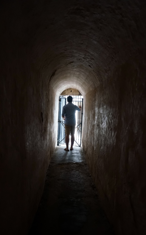
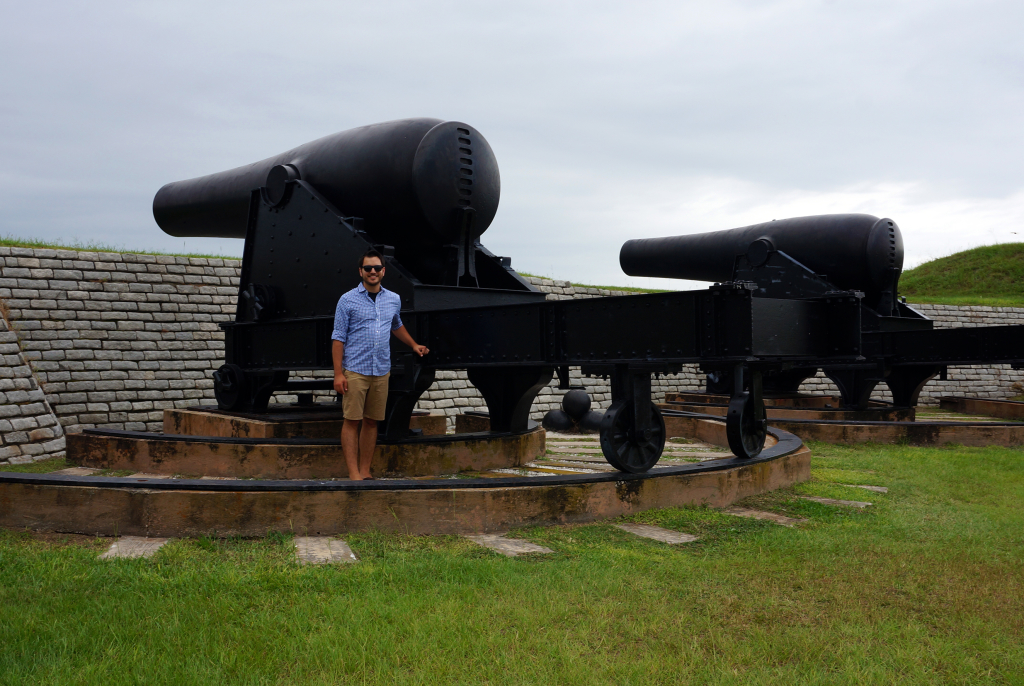
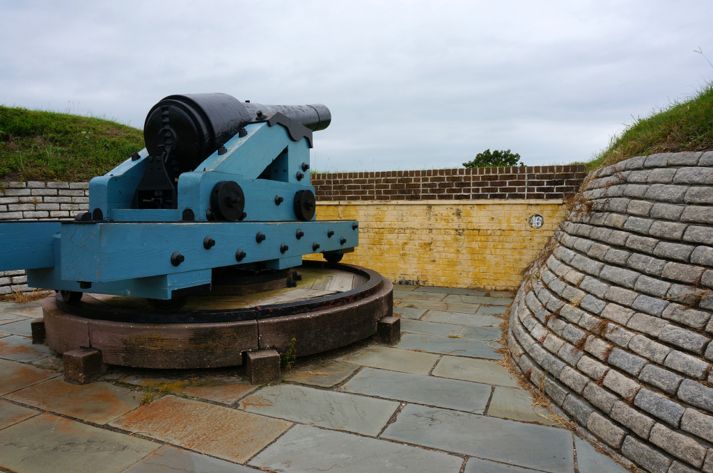
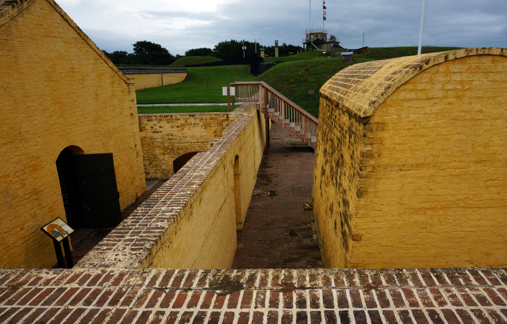
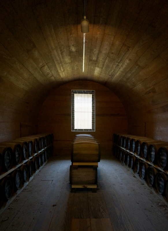
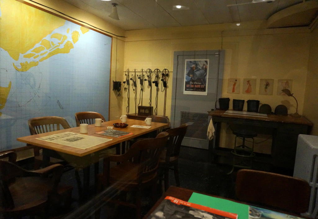
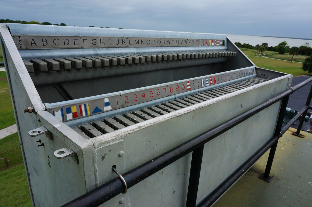
We were hoping to get a beach day during our visit, but unfortunately the weather did not cooperate. So, during our final, overcast day, we decided to check out Fort Moultrie on Sullivan’s Island. We joined a tour group with some children, but decided that was way more learning than we wanted, so we ditched the tour group and just wandered around on our own.  A highlight was the long tunnels underneath the fort, where other visitors were taking advantage of the echoing and trying to imitate a wolf. We give them an A+, very realistic howling!  (Howling… howling… howling…)

Race Problems

While we had a wonderful time in Charleston, we must also mention that the drivers in Charleston are kind of insane.  Now, we grew up in the Northeast and lived for years in New York City, so it takes a lot to raise our eyebrows when it comes to driving.  The NYC metropolitan area, along with Boston, features some truly terrible, selfish, impatient, and unnecessarily aggressive drivers, but we haven’t see much of that type elsewhere in the country… except in Charleston.  Everybody drove fast, and simple things like making a left turn always seemed to require some pedal-to-the-floor madness.  Driving the RV through Charleston felt like pushing a car in neutral across an active NASCAR track.

But that’s all in the rearview mirror, and we managed to make it out of Charleston with nothing more than a couple of spilled coffees.  Plus, we coined a term we’ve been using ever since:  the “Charleston style” turn, for when roadways leave no choice except to gun the engine, close your eyes, and merge into a stream of cars that doesn’t seem terribly interesting in avoiding you.

No Place Like Home

We did have one other interesting experience while in Charleston.  On our final night there, at about 1 a.m. in the middle of a thunderstorm, a tornado touched down about 5 miles from our RV.  We know this because we were awakened in the middle of the night by screeching alarms from our phones, which warned of an imminent tornado threat in our area and advised we seek shelter.  Our motorhome is, of course, not terribly tornado-resistant – maybe we should start attaching it to the ground using tent stakes – so we headed to the campground bathhouse, which didn’t seem all that strong but was at least made of concrete.

Now, there were close to 100 RVs at this campground, and we doubt any of them would hold up against the Big Bad Wolf’s huffing and puffing.  So we were more than a little surprised to only find about 4 other people, total, seeking shelter.  We guess everyone else decided it would be better to go down with the ship?  Or perhaps they were just hoping to be sent to Oz, where maybe they can find a brain.

LAST BITS

What’s next:  We just got back to our RV in Phoenix, Arizona, after driving approximately 6,700 miles for the holidays.  (You read that right.)  We’re taking it easy for a few days.

Obligatory social media self-promotion:  If you want to follow along and you haven’t yet, please Like us on Facebook and/or follow us on Twitter (@NothingMundane) and/or Instagram (NothingMundane) to make sure you get all the updates.  All the cool kids are doing it.

Shamefully missed a prior post?  We made a list of the most recent ones, just for you.

0