Week 29: Elderly Burning Man

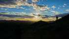
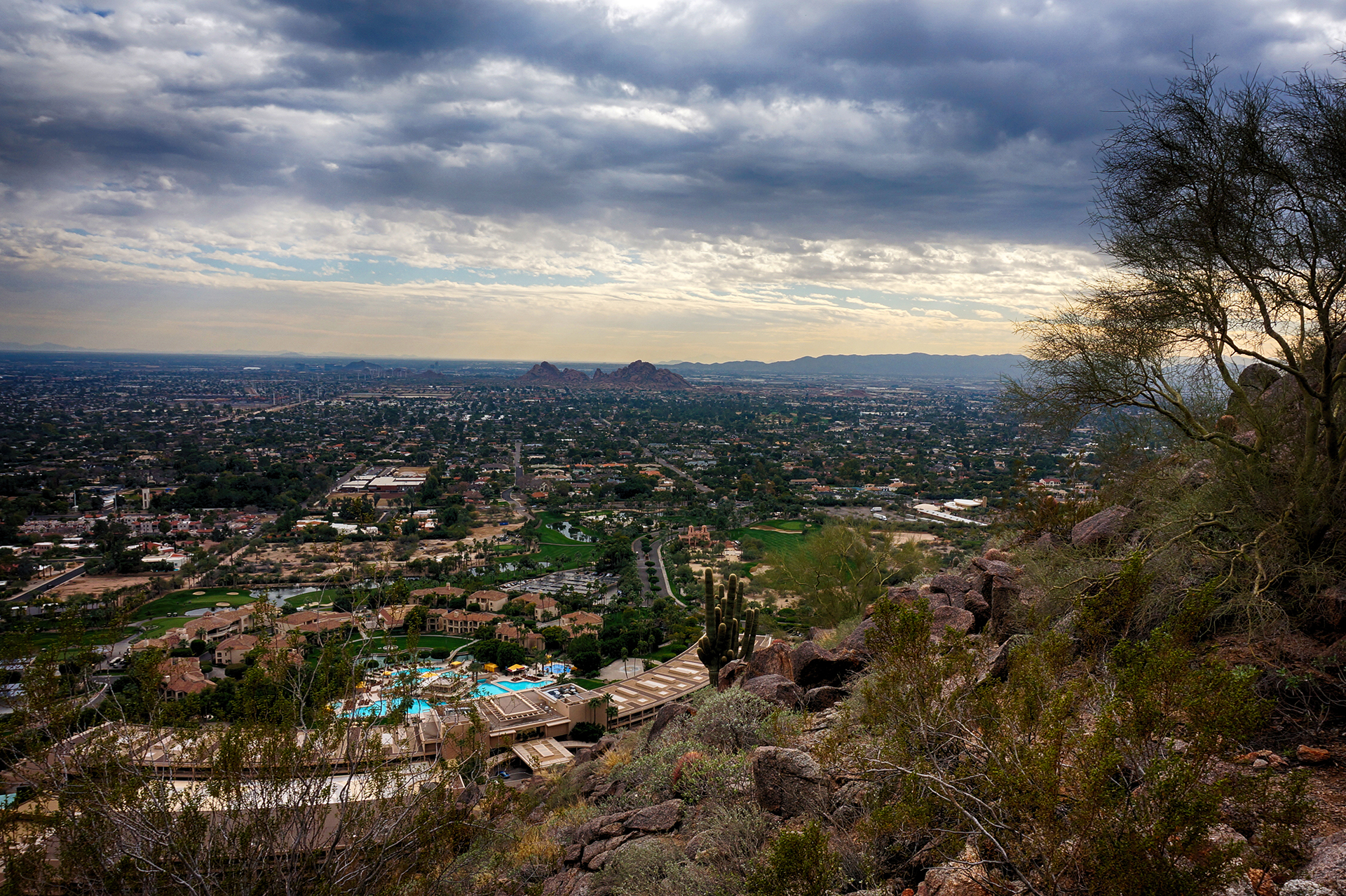
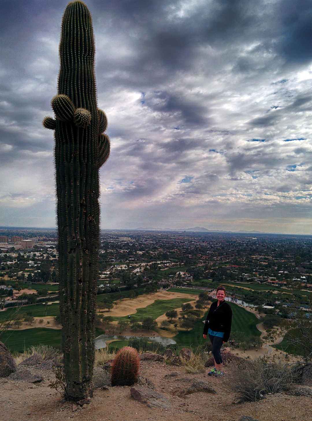
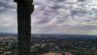
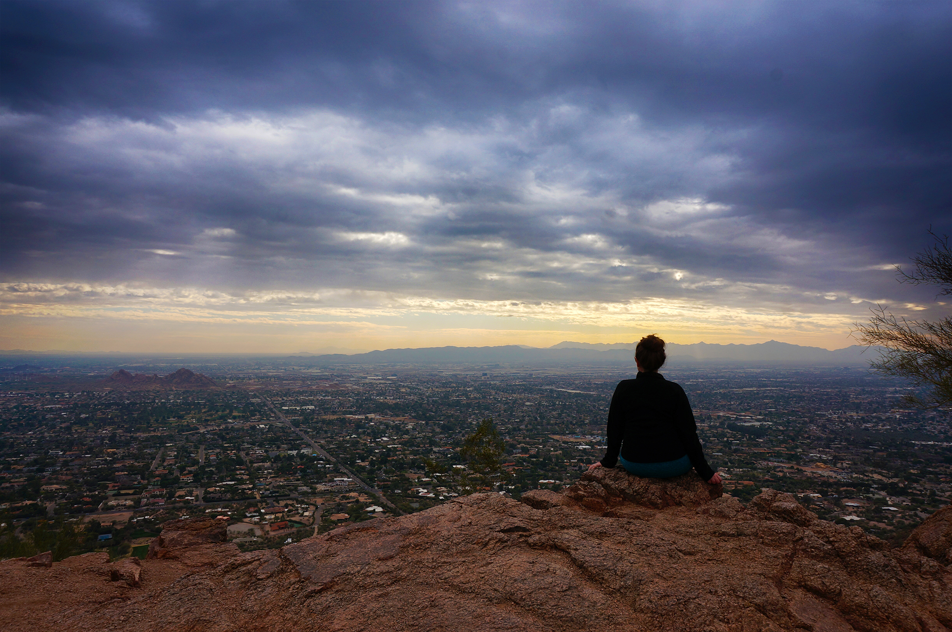
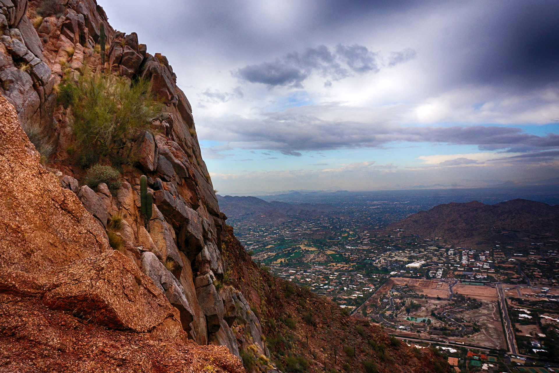
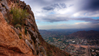
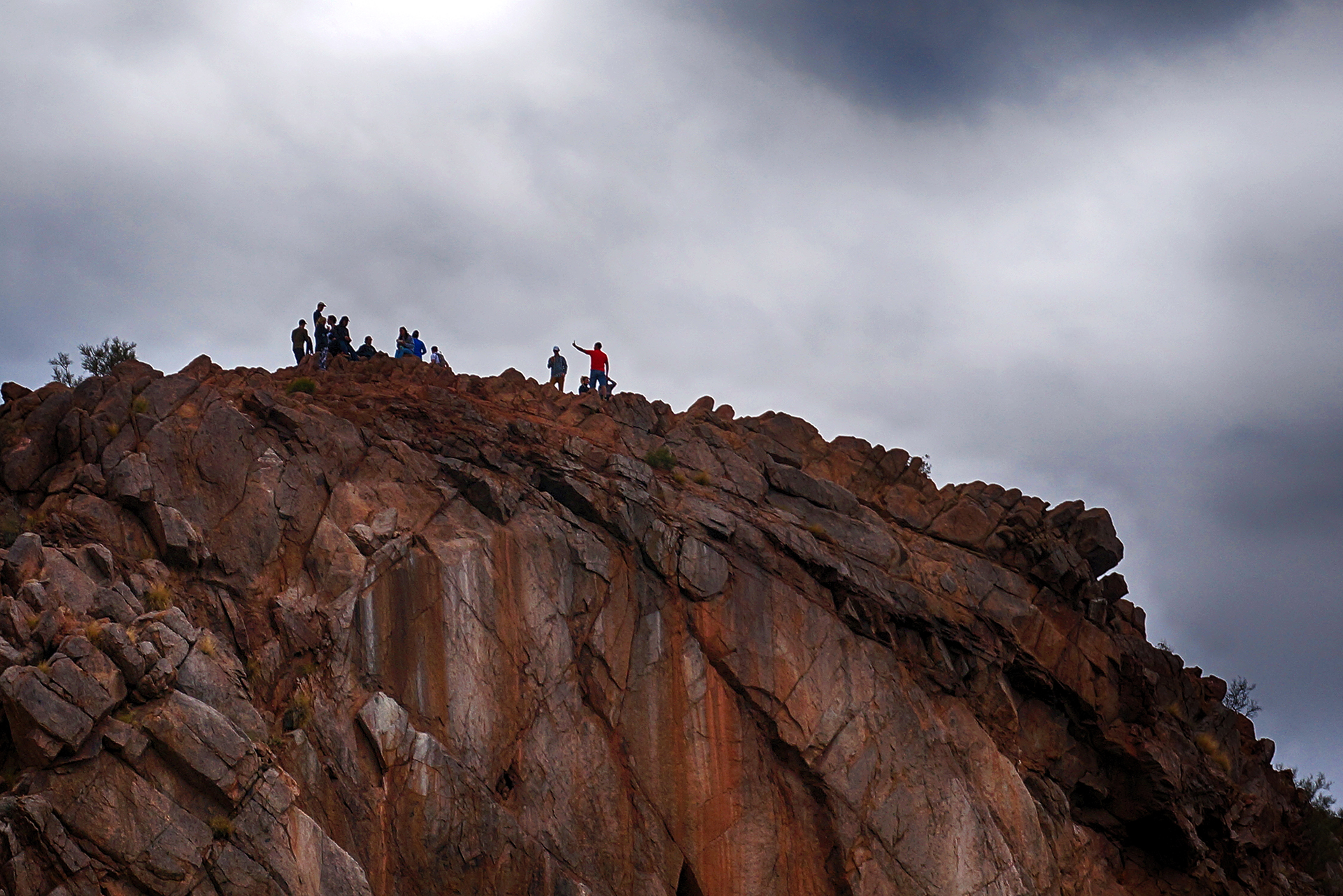
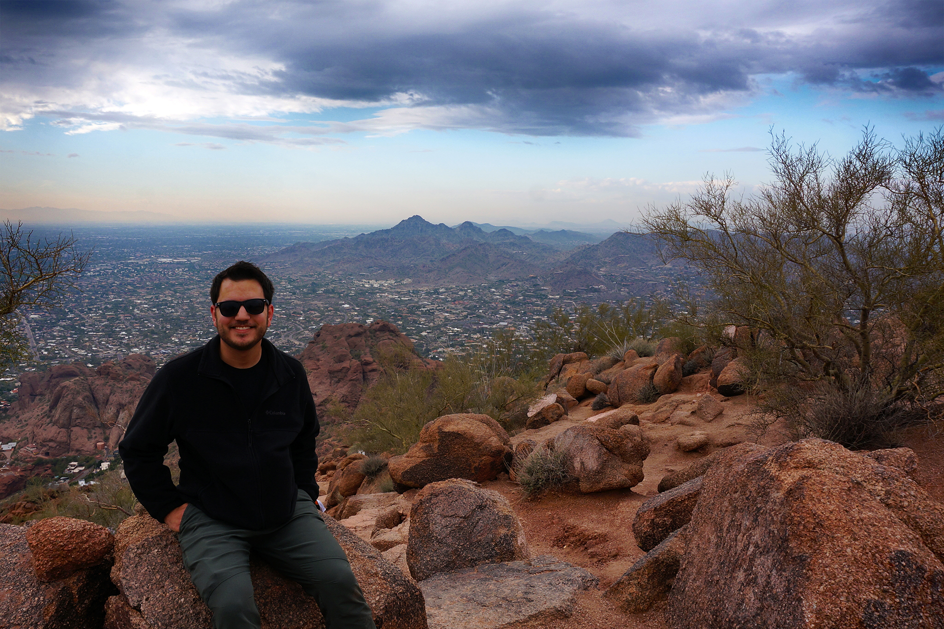
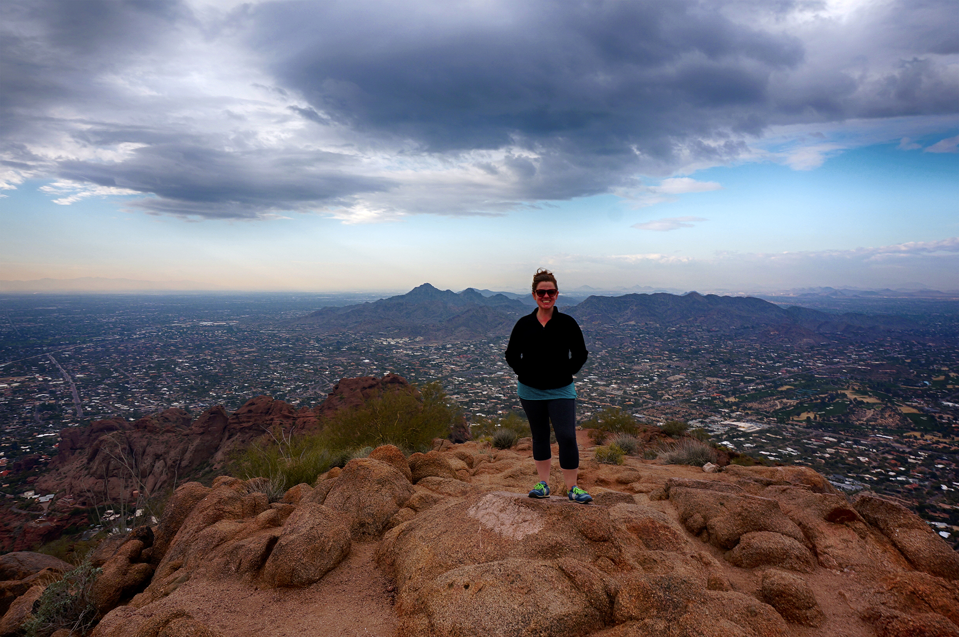
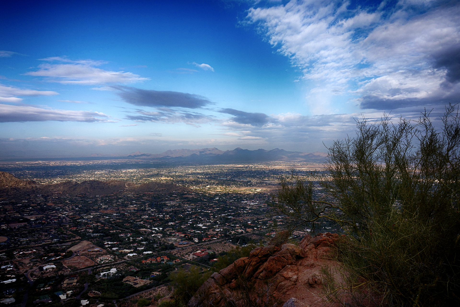
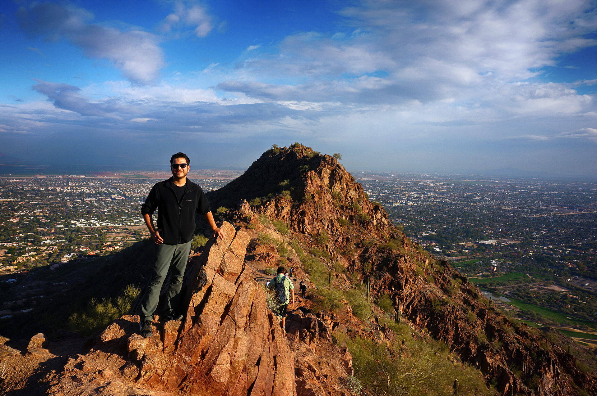
As we wrote before, after our crazy road trip back to the Northeast, we spent a few days recharging in Phoenix.  Then, we headed back out onto the road in our RV, southwest from Phoenix into the desert.  Our destination was Quartzsite, Arizona, home of what we call “Elderly Burning Man.”

Gathering of the Clans

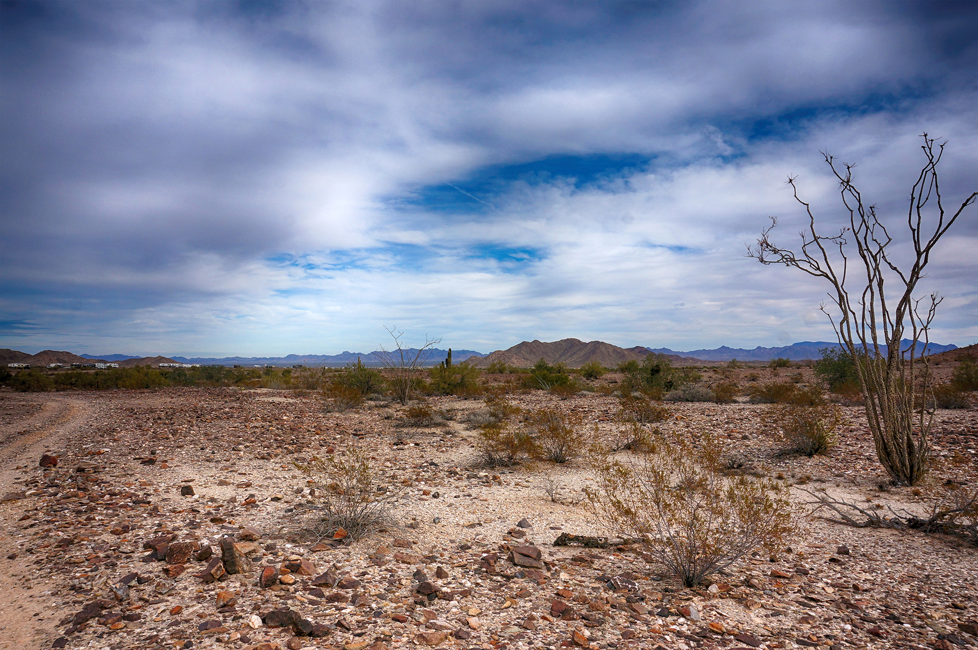
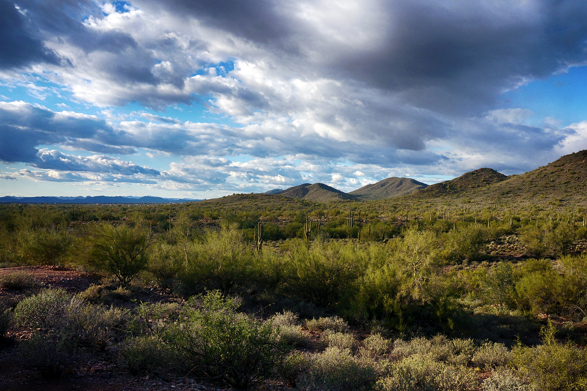
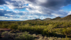
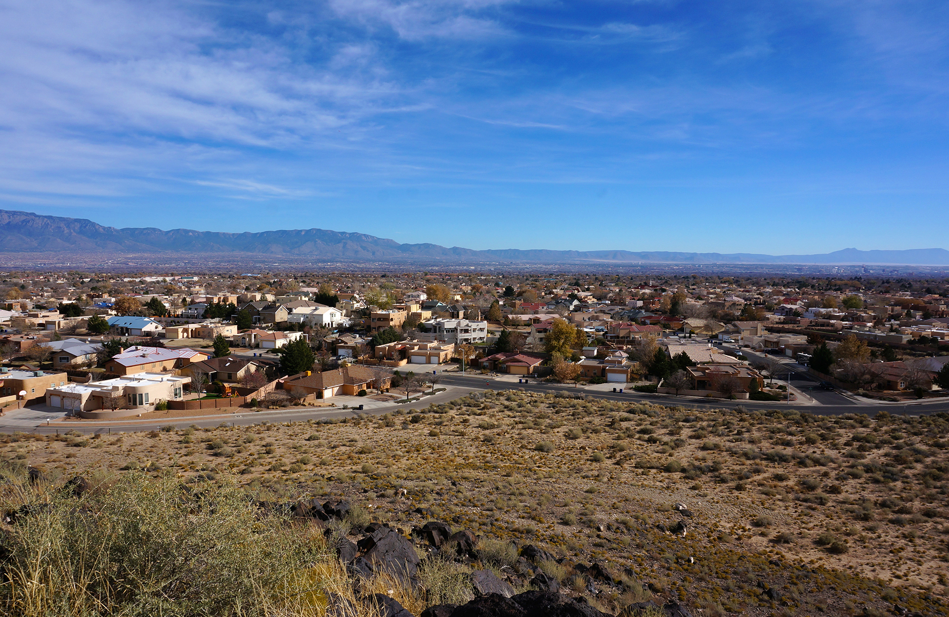
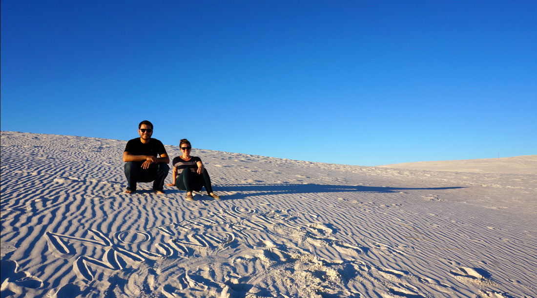
Quartzsite is not just annoying to spell, it’s a highway town of 3,600, very near the border between Arizona and California.  Quartzsite is in the for-real desert, and it is nearly “deserted” in the summer, when temperatures can reach 120+ degrees.  But in the winter?  Oh, that’s quite different.

For reasons we still do not fully understand, Quartzsite is the winter meetup location for over one hundred thousand RVers.  Every winter, swarms of people come and meet up in the desert outside of the town, where you can park for free for as long as you like.  Some people live there all winter long.  There are very few places to hook up, but this area attracts an off-grid crowd, with large solar panels and giant tanks that can go weeks without filling.

This is where the hardcore RVers go, and as we know well from our travels, full-timers are almost exclusively retired.  We’d guess the average age is about 80.  (Relatively) wealthy, white retirees, with a… let’s say, “Midwestern” build, gathering in their off-grid RVs in the middle of the desert.

Elderly Burning Man:  It doesn’t get much weirder than this.
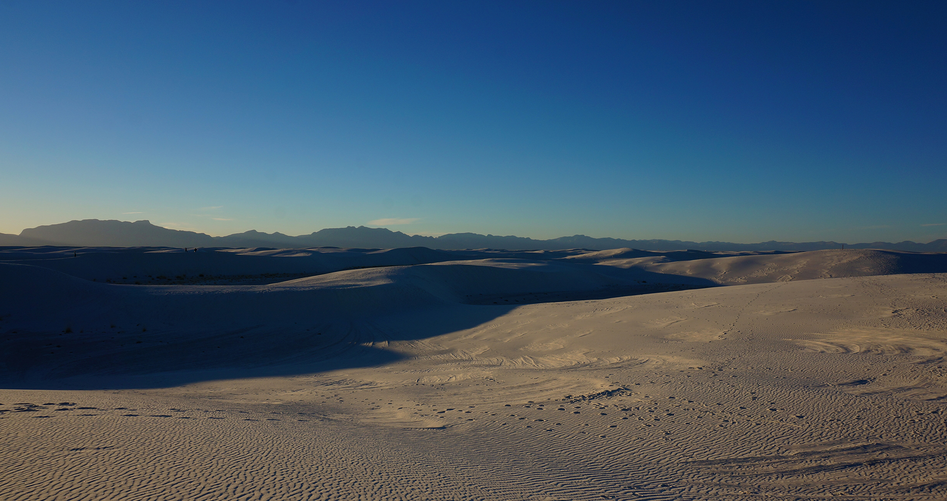
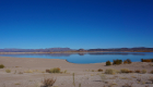
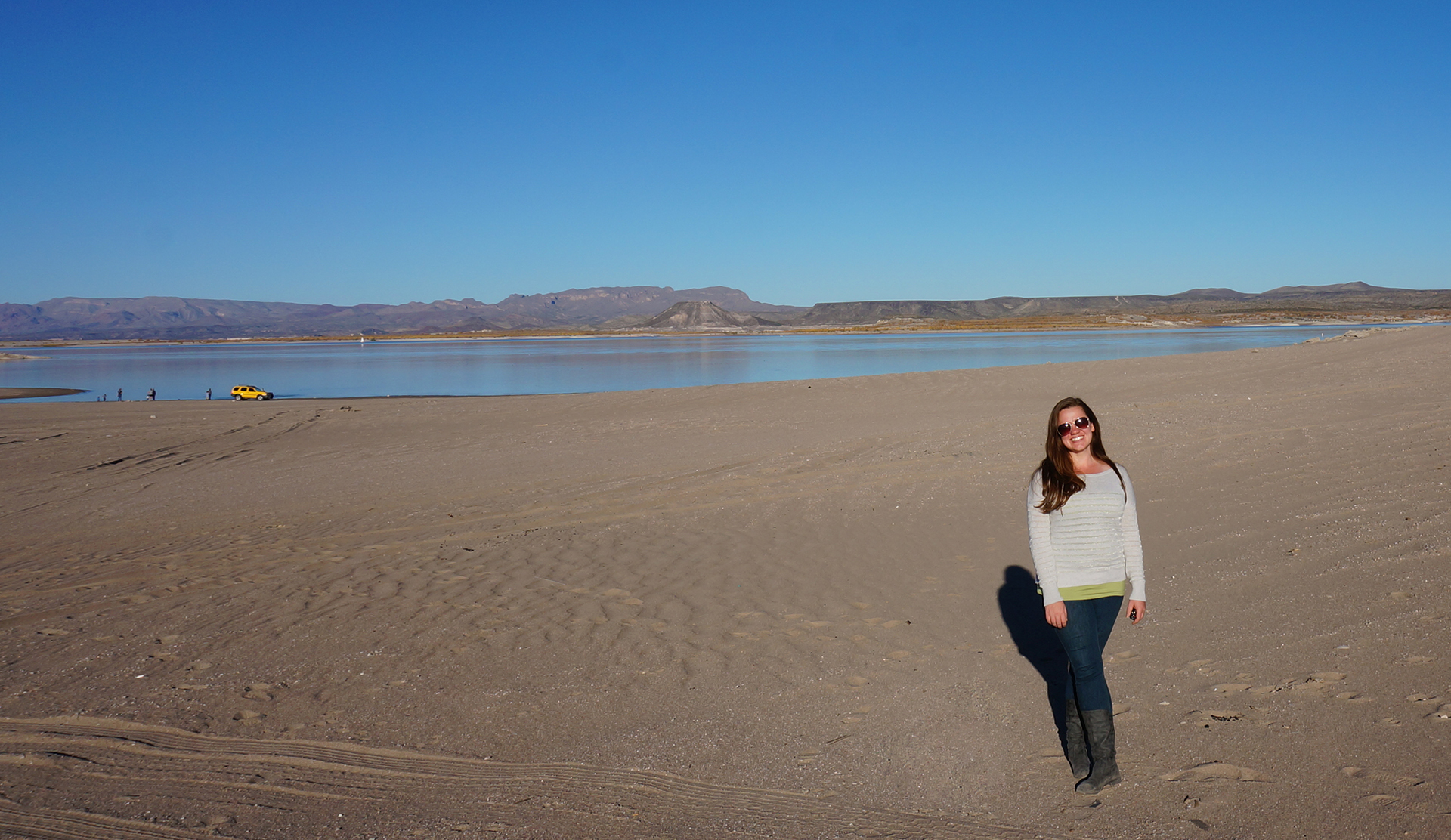
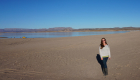
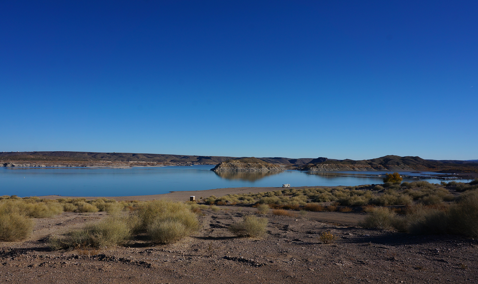
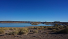
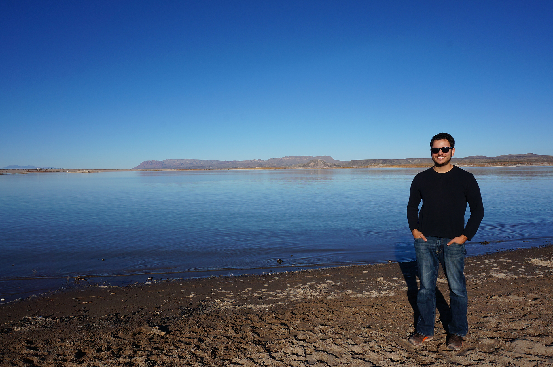
Desert Sea

Vendors set up tents and stalls in a huge area inside the town, and we walked through.  There was a lot of RV-related stuff, but also plenty of touristy stuff, rocks and minerals, and especially deep-fried food.  Considering the demographics, Quartzsite is more than a little like being in an Iowa county fair, just mysteriously transported into the desert.

Some of the stuff we saw was just bizarre – dozens of cow skulls, laid out for sale, next to fifty large geodes and a table full of T-shirts.  A few of the stands appeared to just be piles of junk to scavenge through – the desert drifter dream.  Nearby, there were crazy RVs for sale, with kitchen islands, electric fireplaces, and full master bathrooms.

There are also a few permanent shops in the town, and the one we wish we had visited is the Quartzsite Yacht Club.  Despite being utterly landlocked, the Quartzsite Yacht Club touts itself as having the “largest membership in the world.”  Membership is open to the public for a nominal fee, and it comes with one real perk: “real” yacht clubs often offer reciprocal access to members of other clubs, so membership in Quartzsite can get you in the door elsewhere (they claim).

It was so crowded everywhere we decided not to bother trying, but we’ll likely always regret it.  If nothing else, it probably would have helped Jake’s odds at becoming a maritime lawyer.

Thug Life

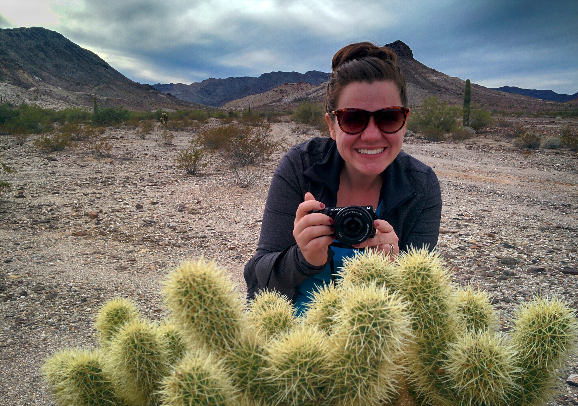
Not having been there before, we were a little unsure what to do.  We ended up just driving into the desert, weaving between all the other RVs (they gather in packs), and parking in a random unoccupied area.  Everything seemed fine, until the next night, some new entrants parked, like, 8 feet away.  In the middle of a giant, empty desert.

And then they glared at us, every time we went outside.

We have guessed, in retrospect, that we were somehow encroaching on their (unmarked, unoccupied) “turf.”  Friends, we have never claimed to be the most heroic of travelers, and it’s fair to say we fled from this confrontation.  Those “toughs” were up to no good, and there were more of them than us, never mind that they were in their 80s.  Like Jesus, we turned the other cheek, and like Sir Robin, we bravely drove off to a different, empty spot in the desert.

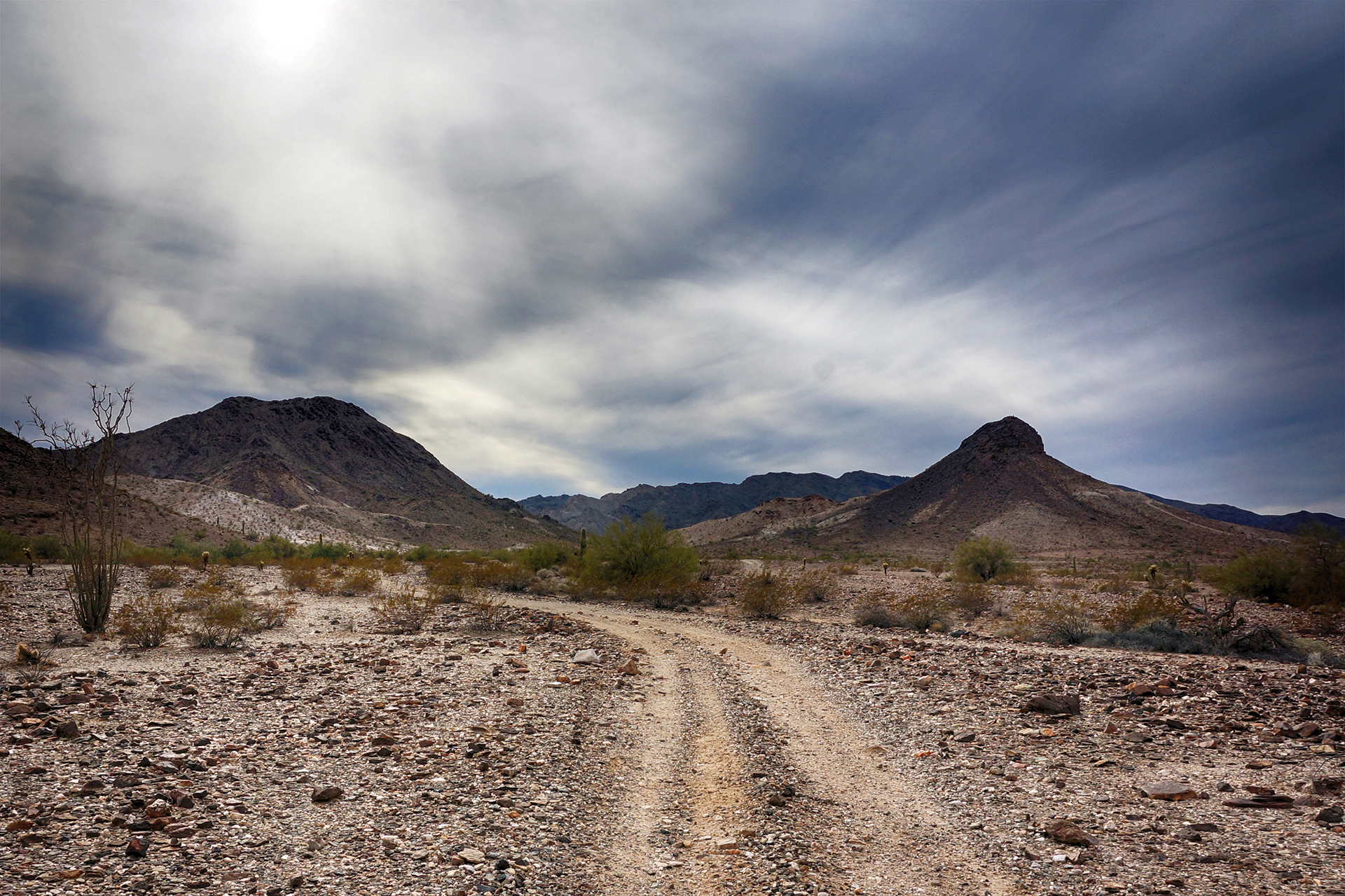
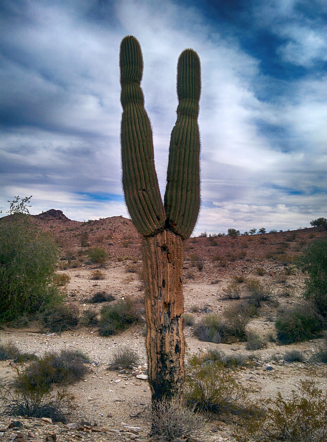
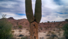
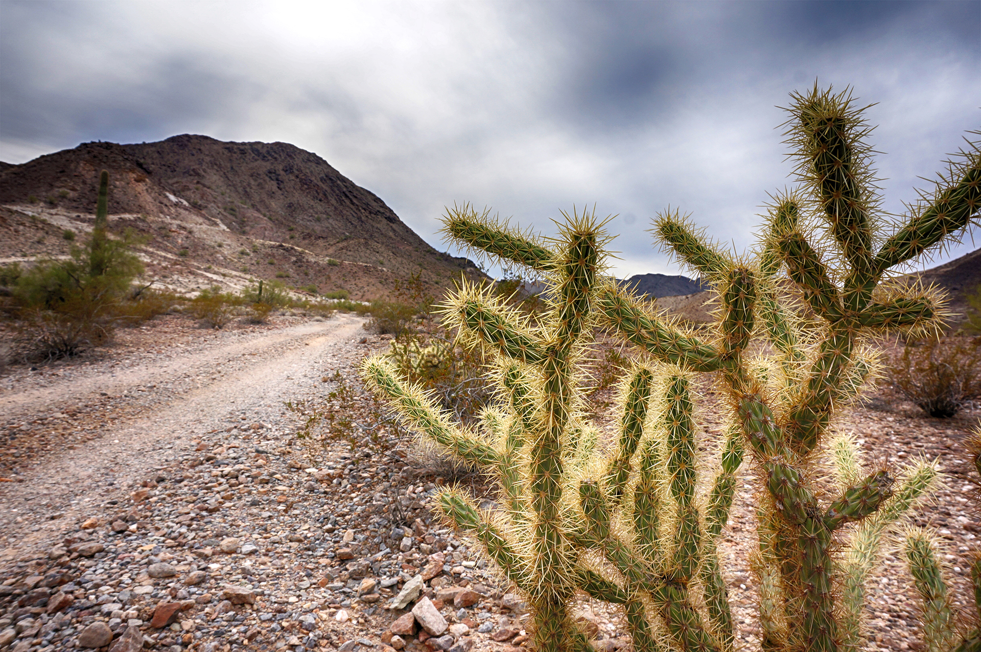
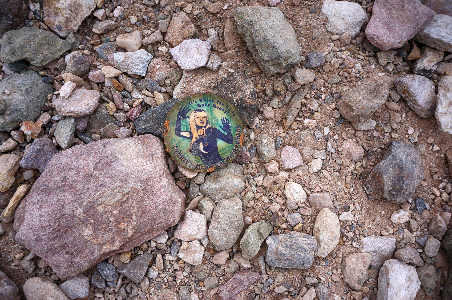
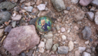
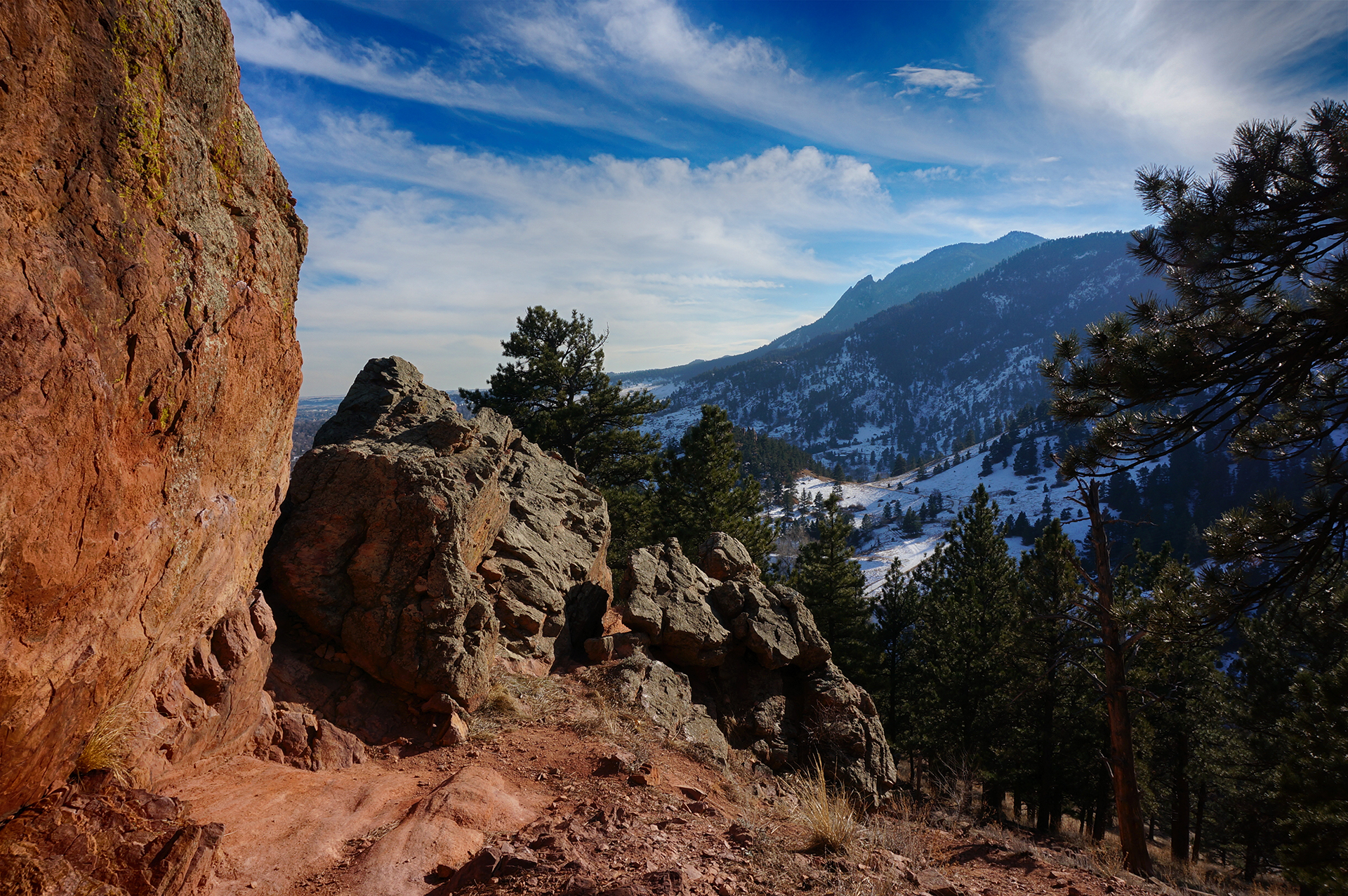
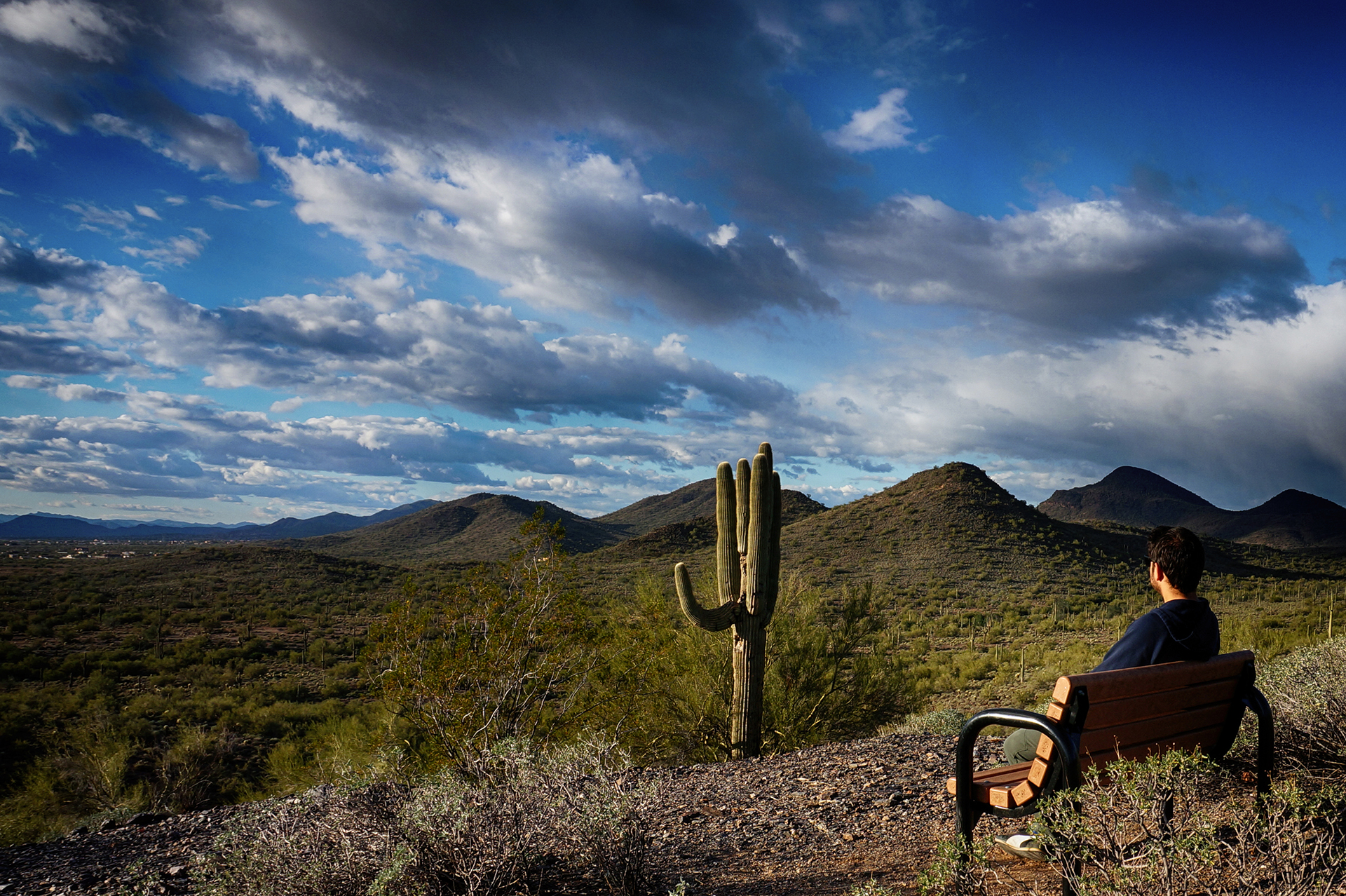
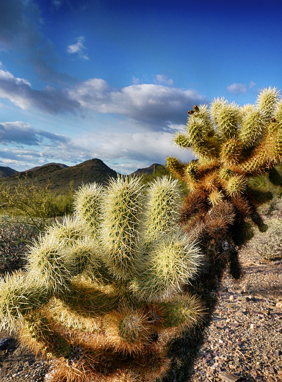
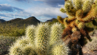
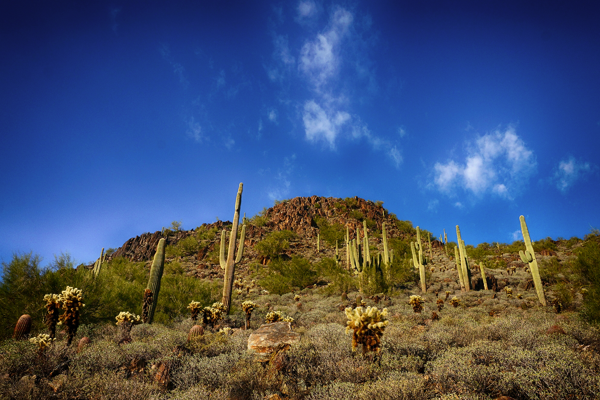
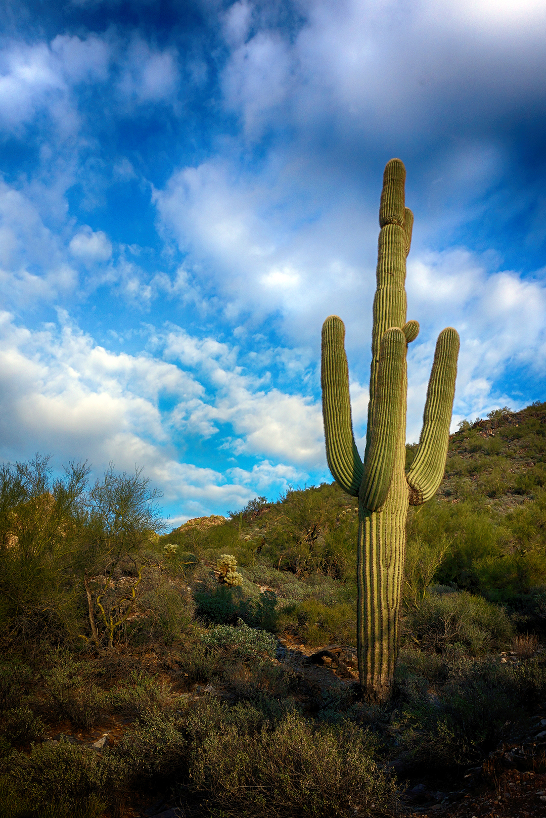
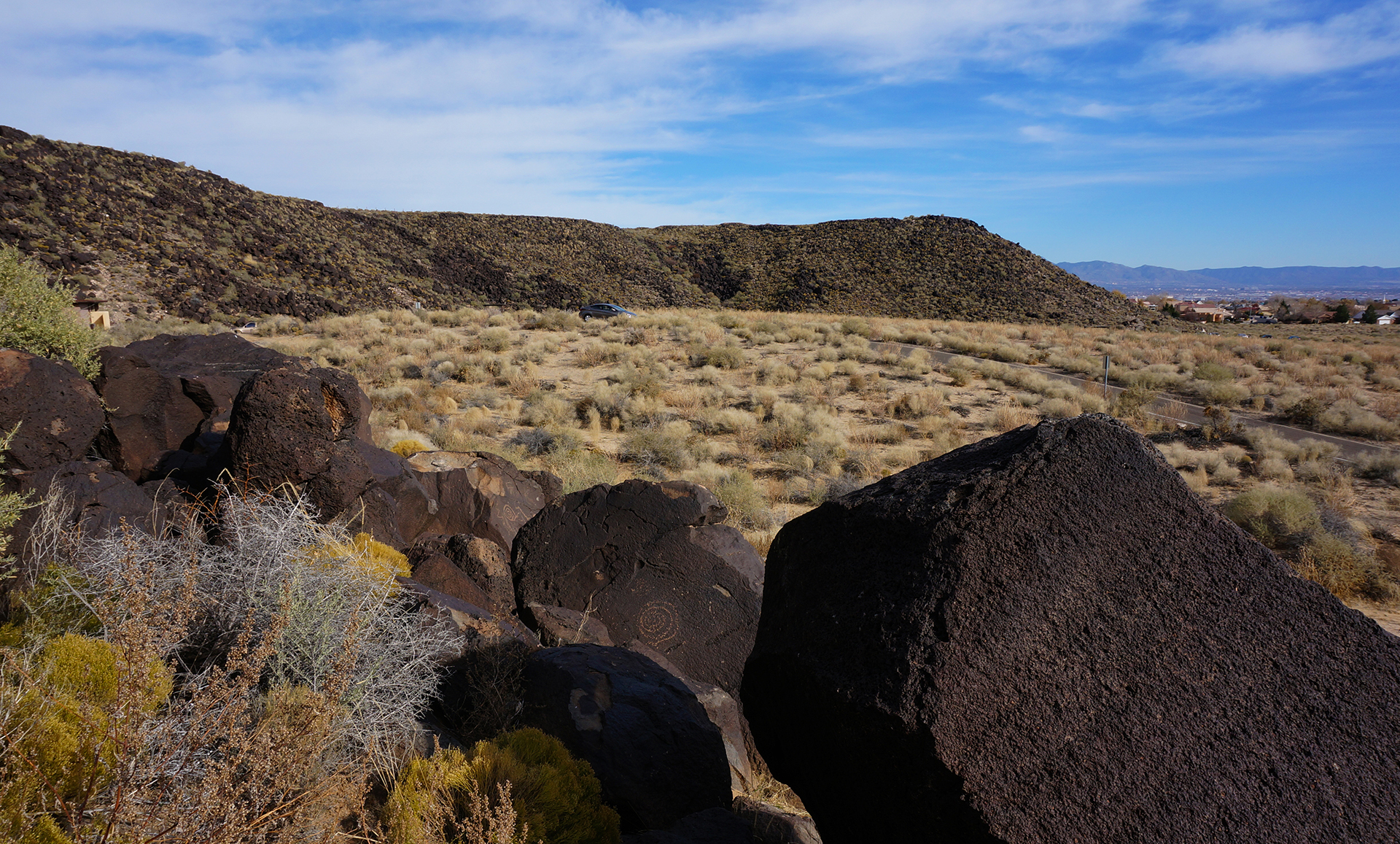
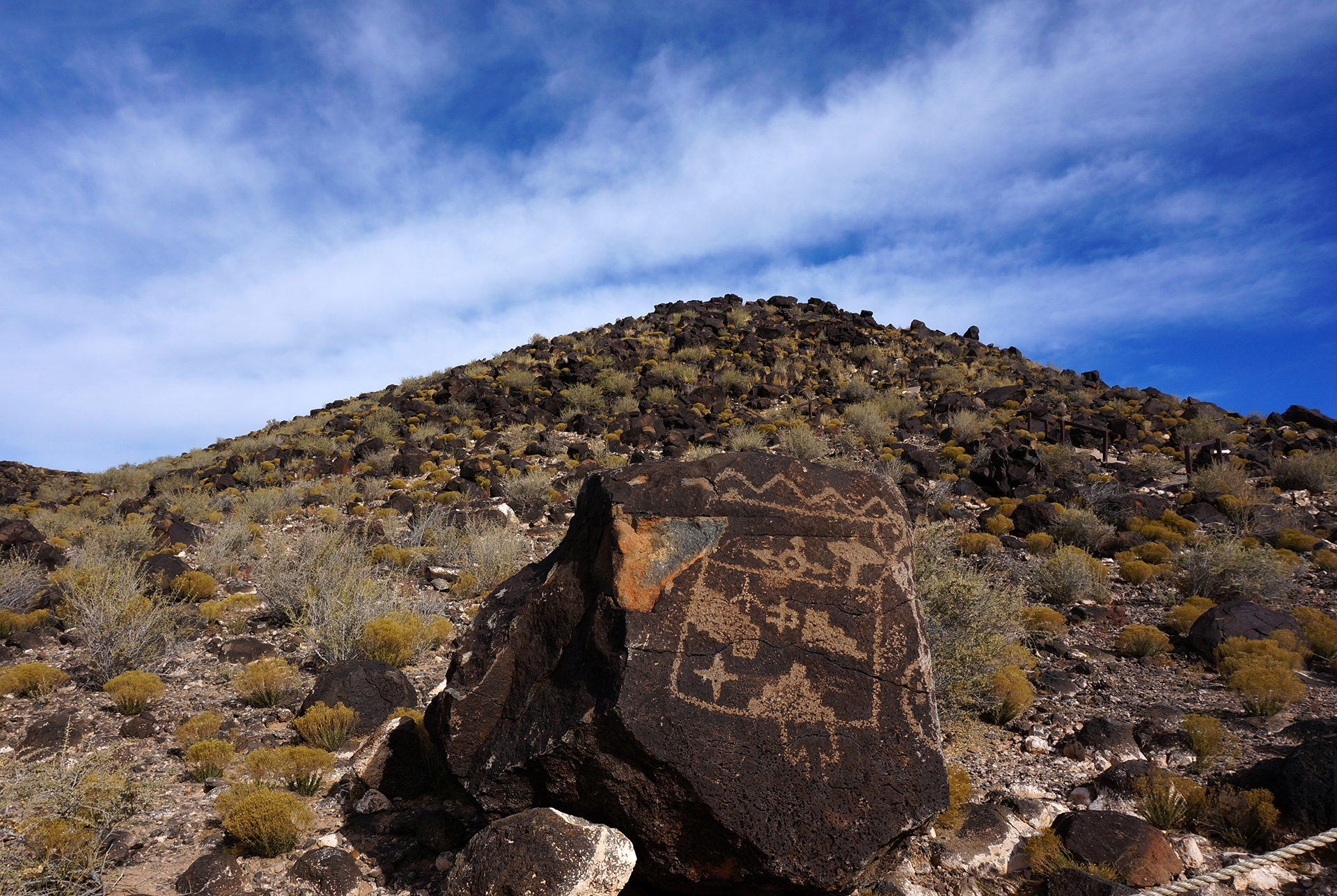
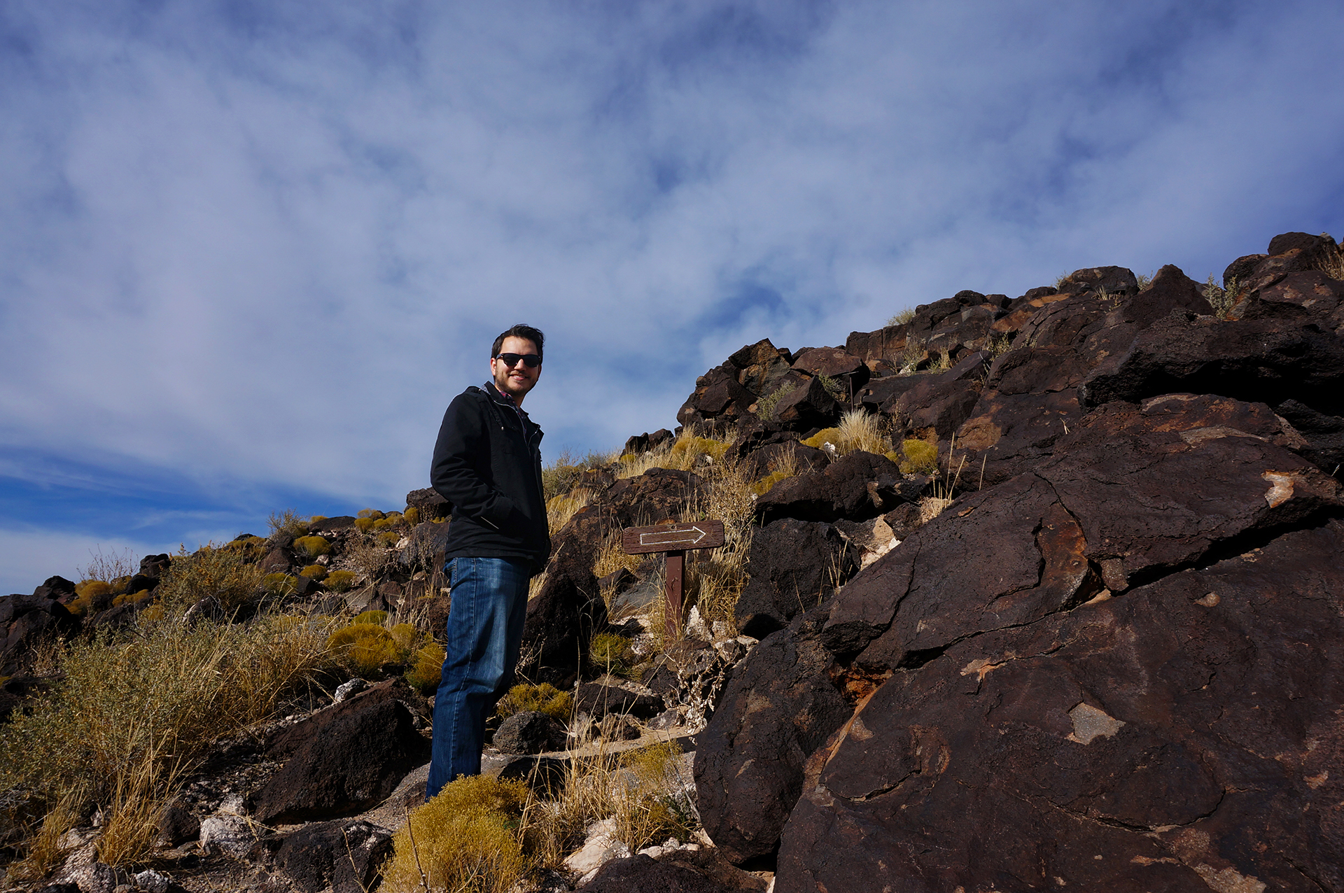
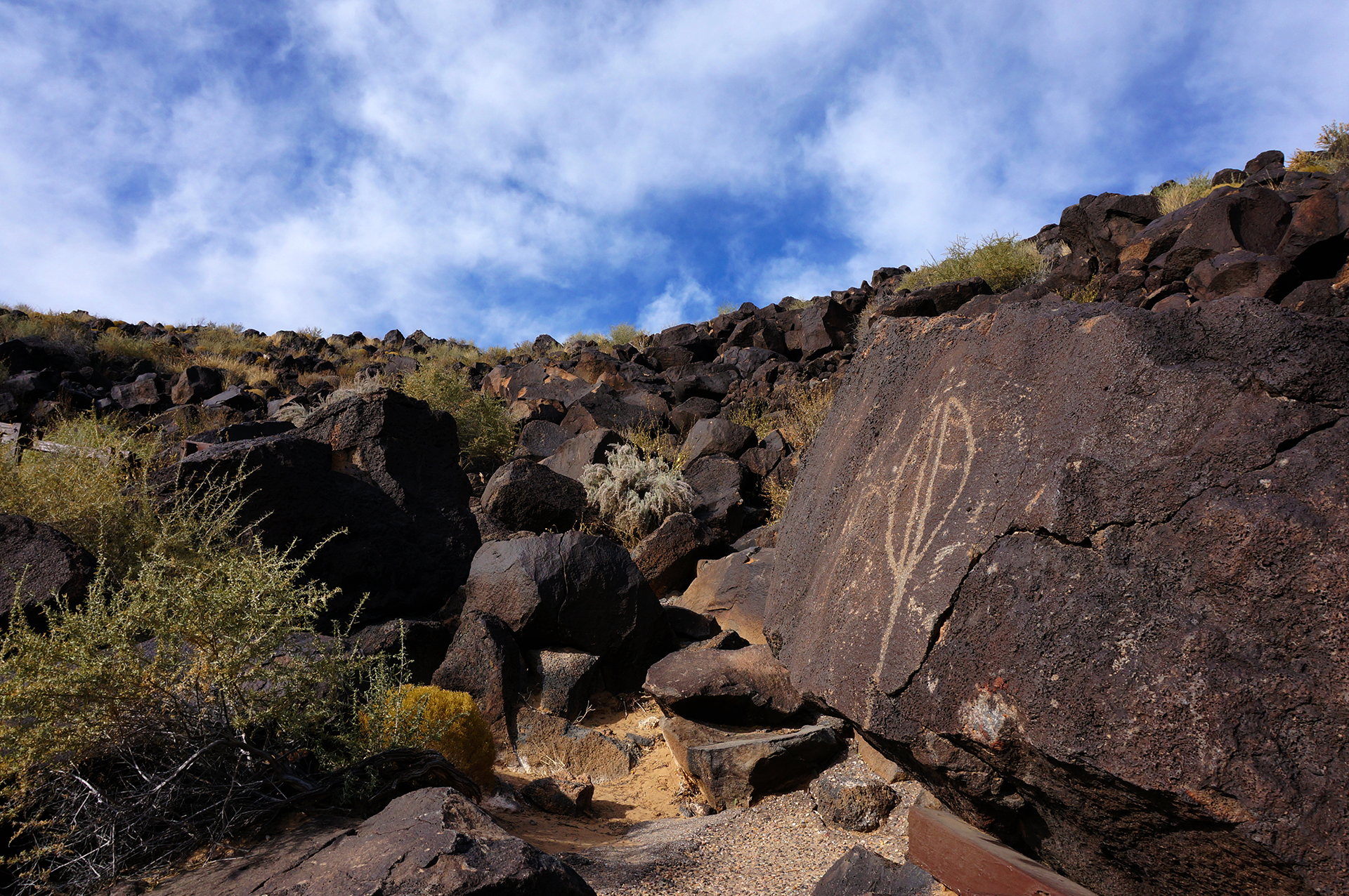
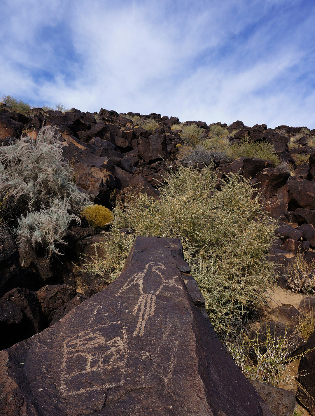
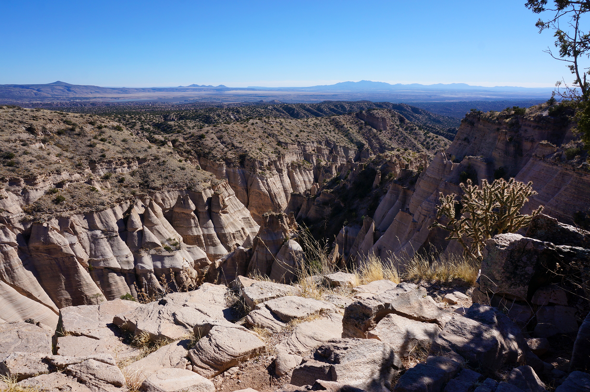
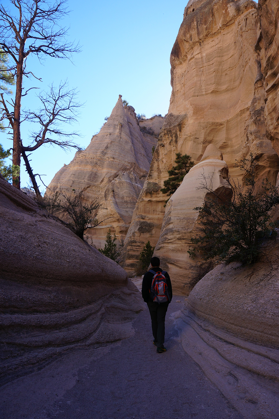
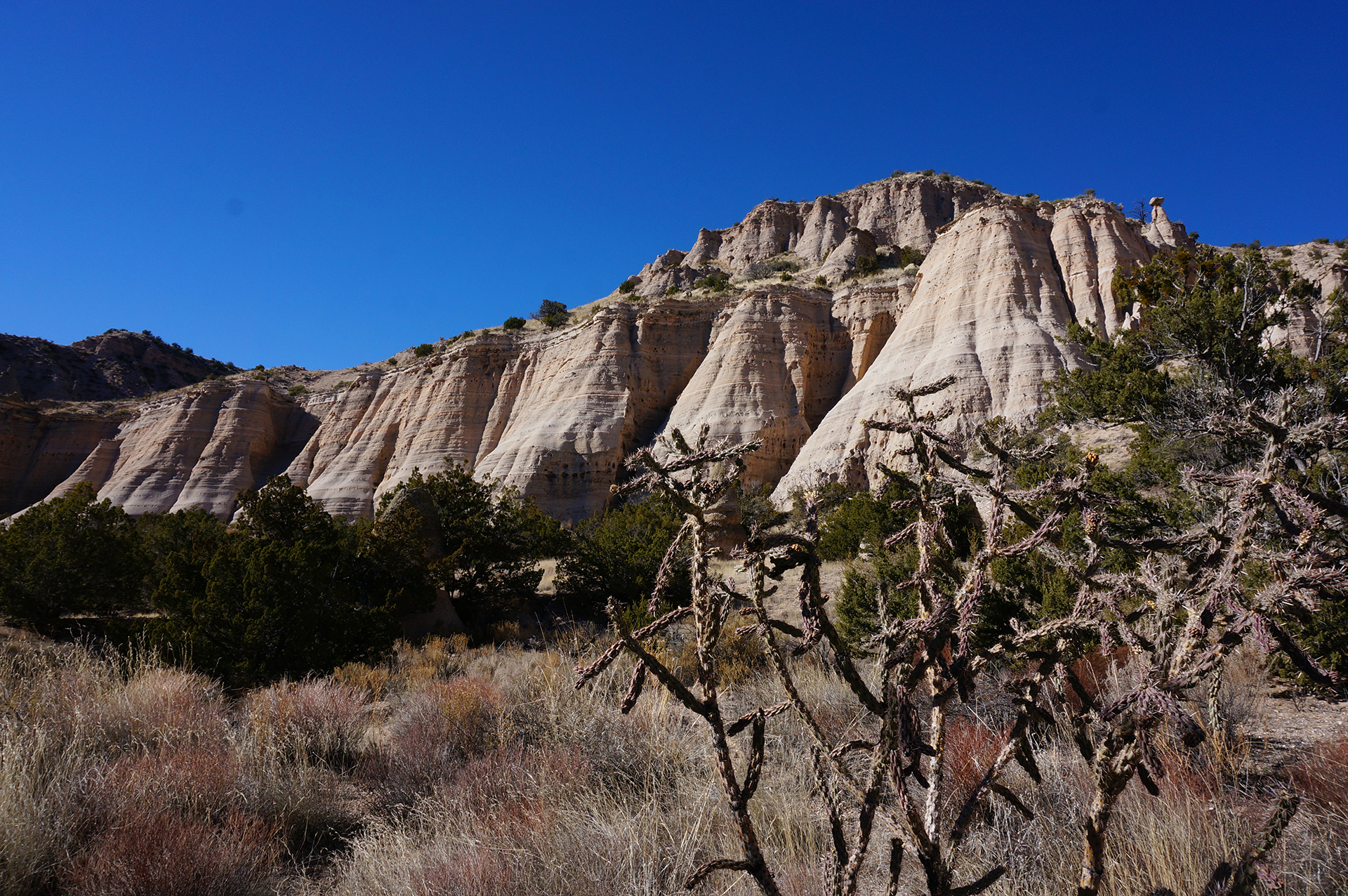
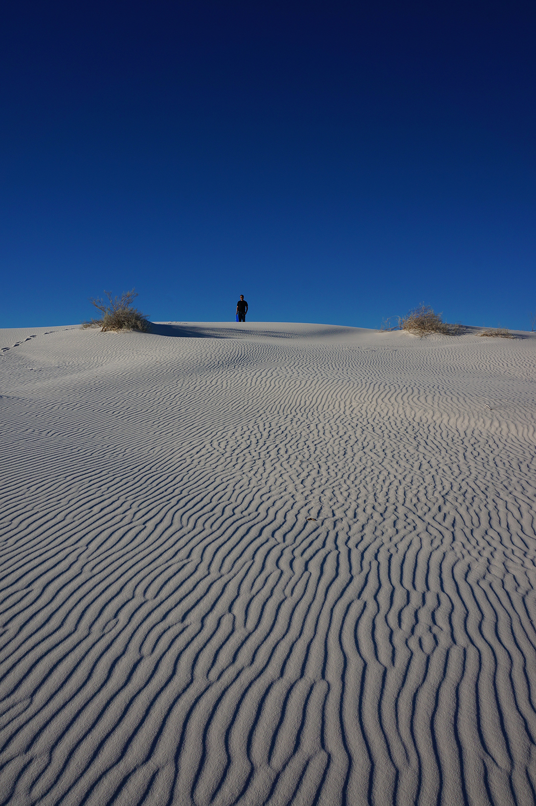
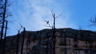
After getting muscled out of our first spot by the infirm, we took a stroll around our new, neighborless backyard. Highlights of our hike included: a cactus that looks like an armless man buried headfirst, lots of rocks, and a coaster from cybererotica.com – “It’s where you go to make money!”

An Oasis of Youth

It wasn’t all snark and fear in Quartzsite, as we did have one positive interaction with other humans.  We learned via social media that the “Xscapers,” a “working-aged” sub-group of an RV community, was meeting up in Quartzsite at the same time we were there.  We crashed their meet-up, and were rewarded by meeting friendly people who were – *gasp – approximately our own age!

Yes, it was an exciting night for us, although sobering.  (Not literally – we of course brought beer.)  Because our online business has been lackluster, we can’t live like nomads in the desert forever, like many of these folks do.  Still, it was a fun time, and we were invited back for movie night the next day.

The movie was “The Martian,” projected onto a screen.  Although we had seen it before, it was still kind of a trip to watch a story of survival while under the stars, running off of solar power and batteries, in the harsh desert landscape of Arizona.  Thanks, Xscapers!
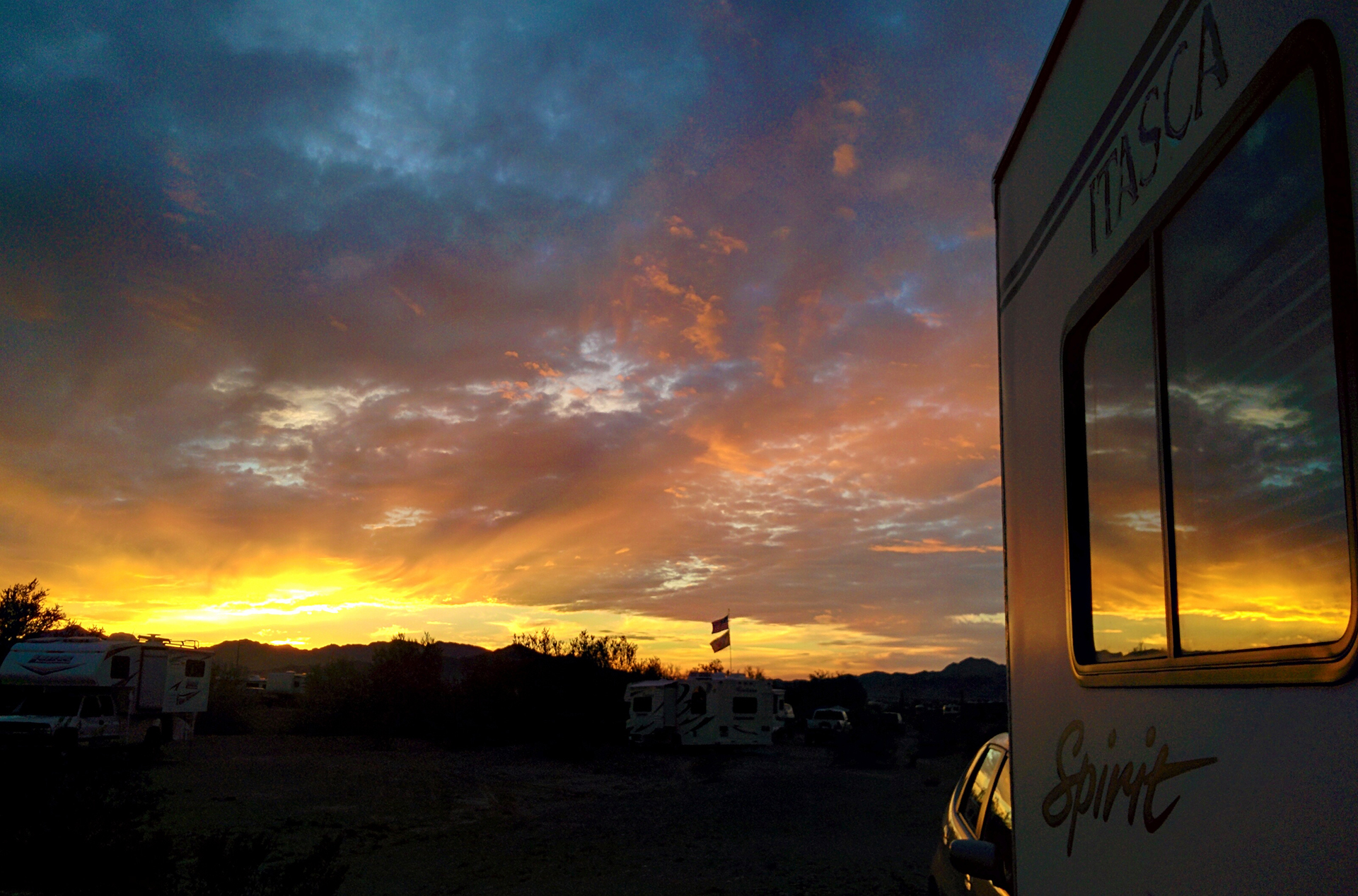
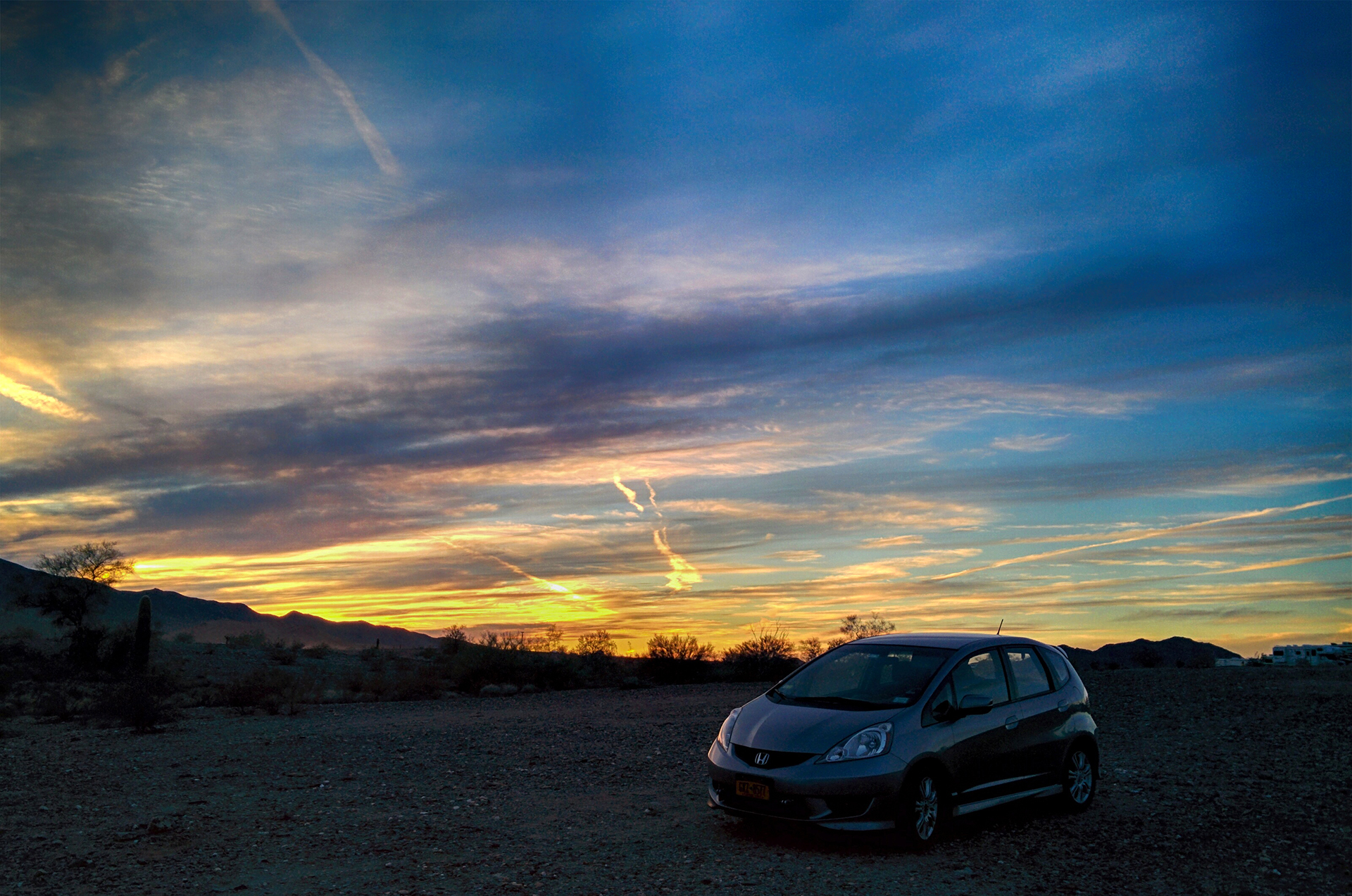
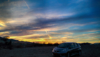
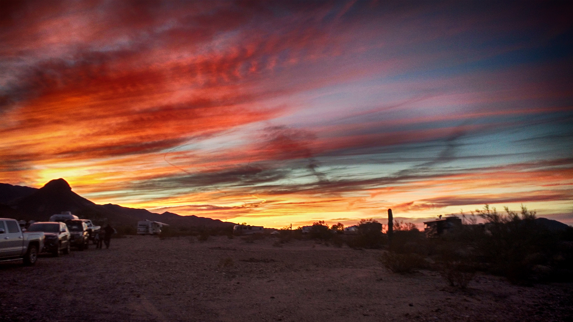
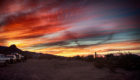
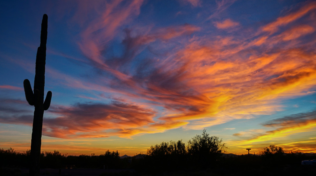
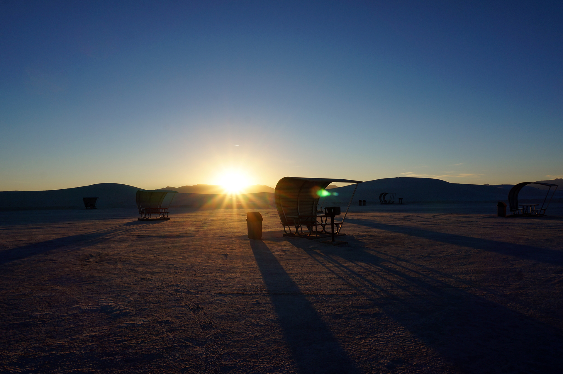
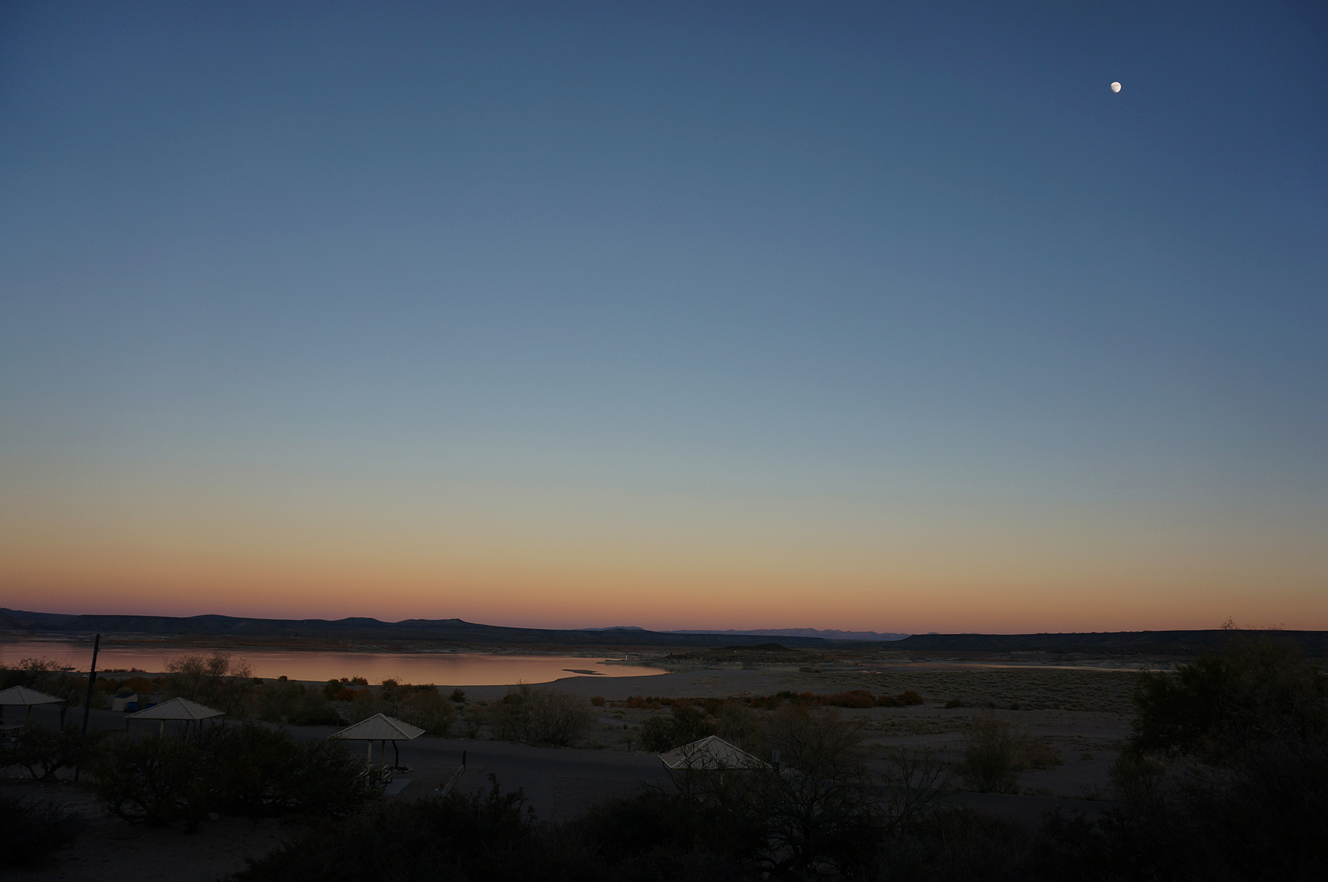
Those Sunsets

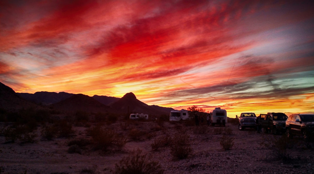
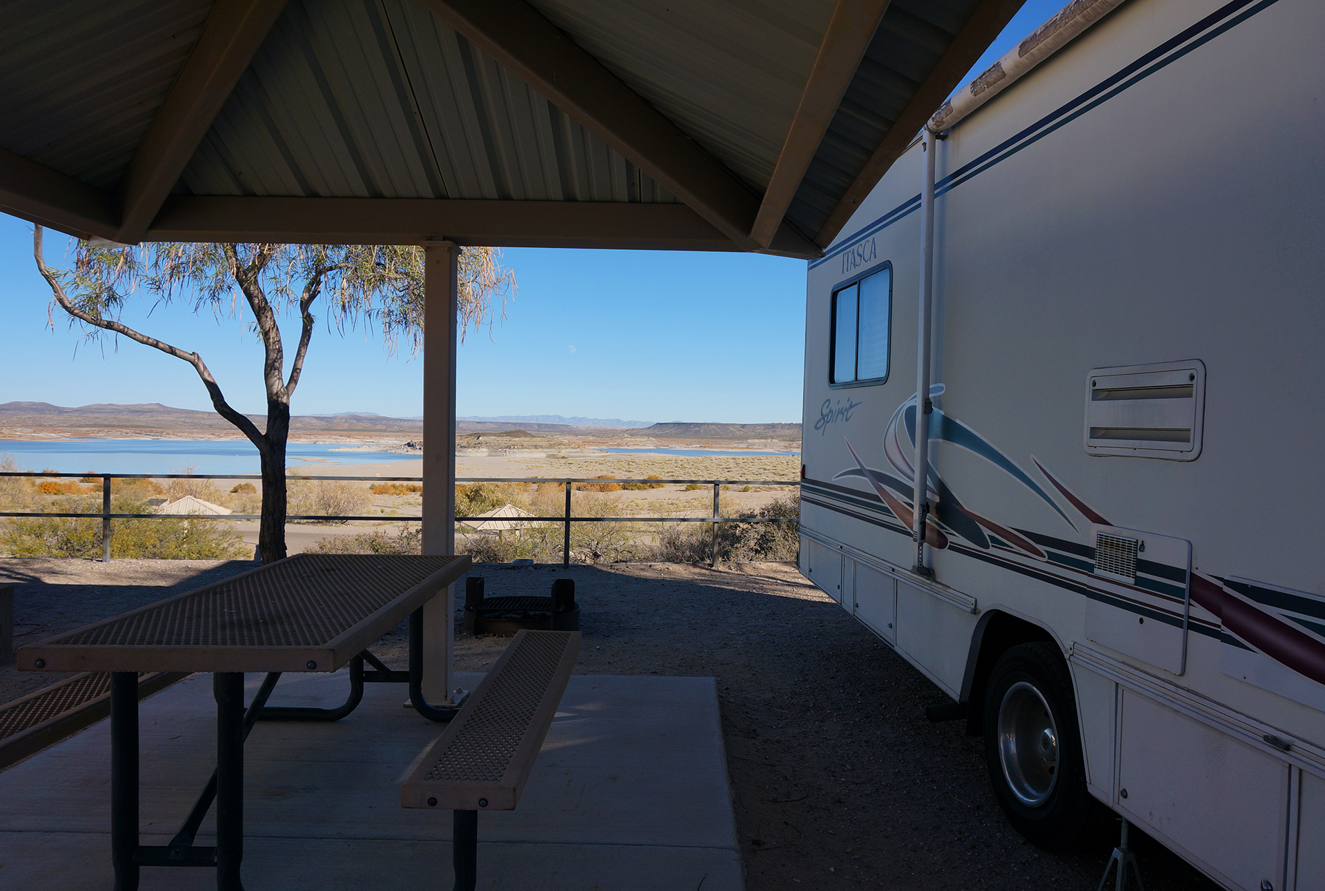
We stayed in Quartzsite for three nights, which is about as long as we can last before our batteries run low.  If you’re curious, we have a generator for power in a pinch, but it doesn’t do much to recharge the batteries, and we don’t have any fancy solar panels to help out.

Of course, we could always put away our computers and phones and just live in the moment, but on the other hand, no, we aren’t doing that.

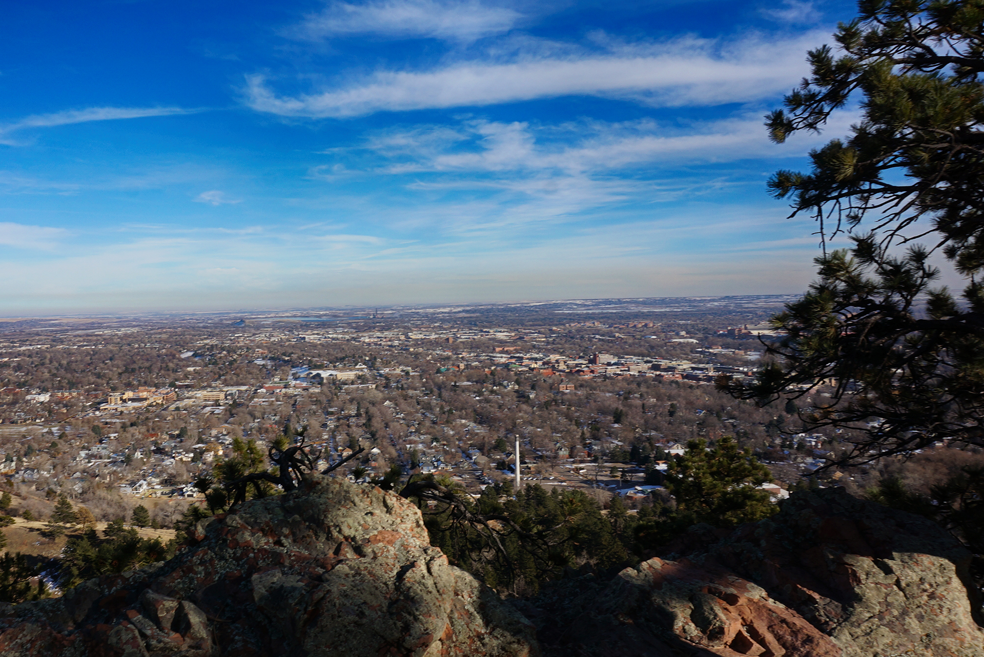
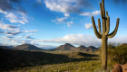
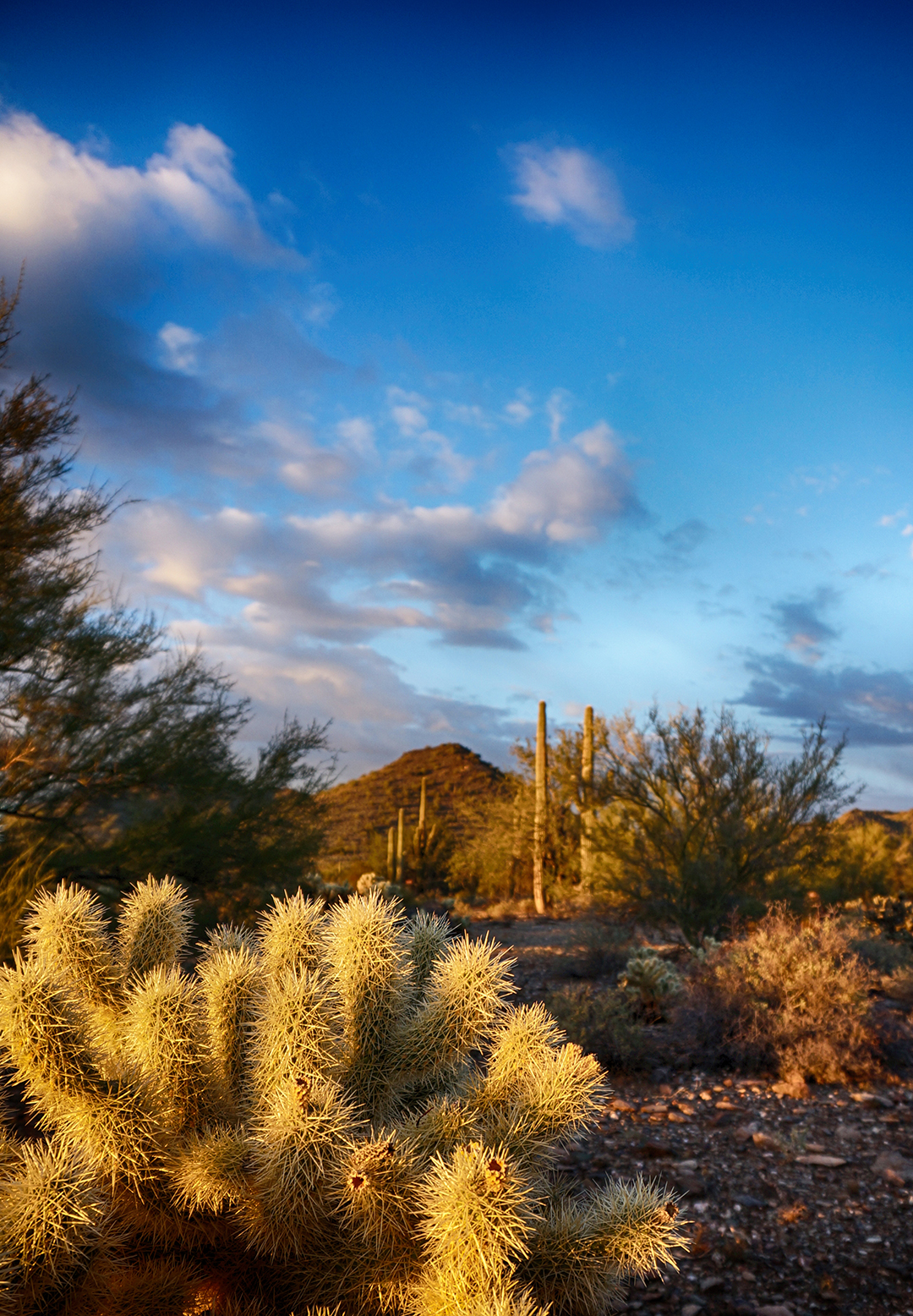
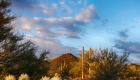
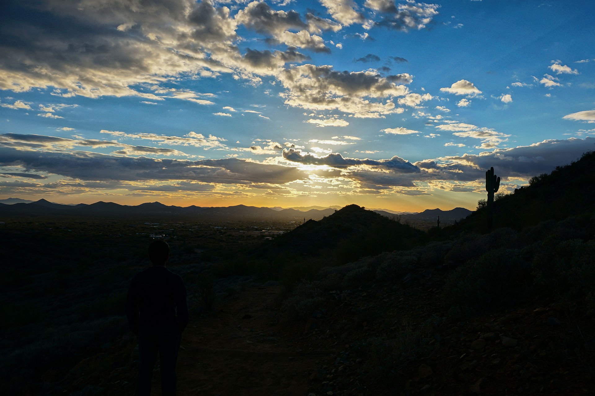
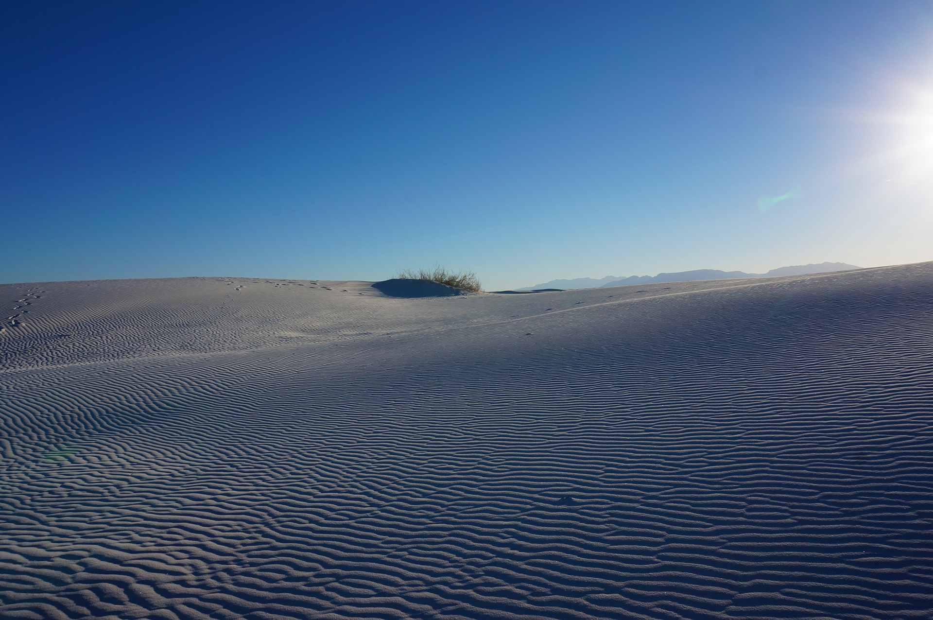
We won’t miss the crowds, the bizarre bazaar, or the elderly gangs, but there is one thing we’ll certainly miss from Quartzsite.  Desert sunsets are always amazing.

Roadtrip Status

Still alive?  Check.

Where are you now?  Portland, Oregon, getting our blog post on!

Next location?  We’ll be here for a while longer, then on to Seattle!  For more information, check out our shiny new road trip plan.

Follow Us On Social Media

FacebooktwitterinstagramFacebooktwitterinstagram

Latest Posts

1

Weeks 25-28: The Great Inception Road Trip

As we said in our last blog post, we stayed in Phoenix for two different weeks a month apart.  “But what happened in between?” you are probably wondering, helpfully.

“An adventure within an adventure,” we reply to your internal monologue, mysteriously.  “Travels within travels.  A road trip within a road trip.”

“You mean…?”

“That’s right:  we incepted our road trip.”

We must go deeper.

The Best Laid Plans

Our Inception road trip started with us in Phoenix in mid-December.  Our families live in Pittsburgh, Albany, Connecticut, and Long Island (among other places).  Our thinking was basically this:  instead of paying for expensive holiday plane tickets plus a rental car, or skipping out on our family and lazily hanging out in southern California for Christmas and New Year’s, let’s drive back to the Northeast!

Our plan was to travel light, move fast, and stop at a few places in the middle parts of the country we’d otherwise miss.  So we further thought: since it’s so far and we want to save money, let’s drive back in our Honda Fit tow car because it gets great gas mileage, instead of in our large lumbering RV!  Even though the RV is basically specifically designed for long-distance travel, and can store many useful things like “food” and “clothes.”

And that’s what we did.  Let’s start with an initial observation:  this was a terrible, terrible idea.  The drive ended up being 6,742 miles in 25 days, and most of it was through the most mind-numbingly boring terrain possible.  Q:  How much of Oklahoma or Indiana do you want to see?  A:  not as much as there is.

Thank God for podcasts!  Oh, and those cost savings?  Yeah… about that.  We actually spent far more on car repairs than we theoretically saved by driving.

But whatever.  We got to see the world’s biggest mailbox.

The Trip

Since we had basically nothing else to do, we documented our trip.  We took photos from the passenger seat, roughly every hour (or whenever it looked cool), unless it was dark. From those photos, Heather made the awesome video above, hand-animating the locations and travel lines for your viewing pleasure.

As you can see in the video, while driving those 6,700 miles, we visited the following places:

Drive East:  Phoenix -> El Paso, TX -> Roswell, NM -> Texas Panhandle -> Oklahoma City -> Nashville -> Memphis -> Pittsburgh

Holiday Social Travel:  Pittsburgh (Christmas) -> Albany -> Long Island -> NYC -> Connecticut -> Boston (New Year’s Eve)

Drive West:  Boston -> Pittsburgh -> St. Louis -> Kansas City -> Boulder, CO -> New Mexico -> Phoenix

Yes, it was a lot.  As we mentioned, this was a terrible idea.  A big thank you to all the friends and family who let us crash with them overnight.

Also, you may notice we cleverly left ourselves in Boston for New Year’s, making the drive back as inhumanly long as possible.  S-M-R-T smart

Stats!

Since we (Jake) are (Jake) nerds (Jake), we went beyond photographs, and kept a few stats during our trip.  Here’s what we’ve got.  All these numbers are from December 2015/January 2016:

  • Unique overnight locations: 13 (Pittsburgh twice)
  • Longest stretch of straight road: A mind-blowing 28 miles without a curve in New Mexico, north of El Paso
  • Construction zones: 63 (immediately regretted tracking these)
  • Earliest advertisement: “The Thing”, 106 miles in advance
  • Tumbleweeds: 0 (unexpected result)
  • Animals in road: 2 (cat, German shepherd)
  • Times we cursed our decision not to fly: too many to count

We also tracked our gas consumption:

  • Fill-ups: 27, for a total of roughly 209 gallons (avg 32.2 mpg – despite some engine troubles)
  • Best MPG: 41.3 (Alamogordo, NM to Friona, TX)
  • Cheapest gas: $1.57, in Hereford, Texas (if you like cows and low prices, this is the place to be)
  • Total gas cost: $424 (median price $1.93)
  • Number of times a gentleman kindly but confusingly paid for our gas: 1 (Pueblo, CO)

And finally, a few photo/video statistics:

  • Number of photos taken: 1,268
  • Number of photos used: 210
  • Number of those photos borrowed from Google Street View: 10
  • Days spent making: no comment

Dispatches From The Road

Since we are professional road-trippers, you won’t be surprised to learn we stopped to sightsee a few times along the way.  There’s a lot to get through here, so we’ve tried to slim it down; we’re not going to bore you with an account of, like, the sandwich and beef jerky store we went to in Oklahoma (literally the only non-fast food or chain restaurant within 60 miles).  Oops, guess we just did that anyway!

…Aliens

After staying overnight in El Paso, we drove northeast to Roswell, New Mexico.  The drive to Roswell was beautiful, going up and over some mountains covered with snow-covered pines.  (New Mexico always surprises.)  We have heard Roswell itself is a cool, artsy town given a bad rap by the ridiculous UFO tourism.  But like a government spokesperson, we can neither confirm nor deny those rumors, since we just went for the ridiculous UFO tourism.  A warehouse full of fake alien scenes you can take pictures with?  Yes, please!

A+++, would pose with aliens again.

Oklahoma City Memorial

We stayed overnight in the Texas panhandle, where literally the only restaurants were steakhouses.  Two in our tiny town; four in the next town over.  So, we got some steaks (kinda “meh”).

We stopped the next day at the Oklahoma City bombing memorial.  It is a touching memorial:  sad but serene, painful yet beautiful, and a reminder that extremism takes many forms.

We were quiet in the car for a while afterwards.

Memphis & Nashville

As a reward for three straight days of driving, we treated ourselves to nights out in Memphis and Nashville.  Both cities are legendary for their live music scene, but both were pretty quiet when we were there.  In fairness, it was 40 degrees out, and for Nashville, a Sunday night.  We also treated ourselves to some amazing hot chicken, a fried & spicy local delicacy.

As you can see in the above photographs, we clearly had completely different experiences in Memphis (top) and Nashville (bottom).

We skipped Graceland because of its unreasonable ticket prices, but we did check out one Tennessee attraction.  The Memphis Pyramid was built in 1991 as a sports arena and entertainment venue, and it’s huge:  the 10th largest pyramid in the world.

Although it used to be home to basketball teams including the Memphis Grizzlies, it hasn’t been used for sports since 2004.  Instead it has become… the biggest and weirdest Bass Pro Shop in the world.

It’s cavernously huge inside, although they tried their best to fill the space.  There’s a hotel, restaurant, archery range, crocodile tank, bowling alley, observation deck, and much more, plus the usual assortment of outdoor clothing and merchandise.  (They’re considering adding a zipline.)  Bizarrely, the entire place is decorated as though it were in a forest, so you can shop for sunglasses beneath the judgmental eyes of a herd of taxidermied deer.

A+++, would avoid paying $130 at Graceland to wander around inside a giant pyramid again.

Friends and Family

We don’t need to go into the details of Christmas and New Year’s, except to say that it was great to see everyone again.  Thanks again to everyone that let us stay with them!  We traveled all over the Northeast, had lots of great food, and even successfully completed an Escape Room.  (Sorry, El Pasoans.)

Casey At The Bat

On our return trip, after a quick layover in Pittsburgh, we headed west towards St. Louis.  On our way there, we stopped to get gas in Casey, Illinois, a small town which turned out to have a big secret.  While fueling up, we noticed a sign promising the “world’s largest windchime,” a short drive into the town.  Since seeing the “World’s Largest X” is a staple of any road trip, of course we went to go check it out.

Well, the world’s largest wind chime was cool, but you know what was better?  How about the world’s largest rocking chair, right across the street?  And while we were admiring them both, an older gentleman advised us to go down the street a bit in the other direction.  We then found the world’s largest mailbox, pencil, and birdcage.

Yes, Casey, Illinois has been living out a quixotic dream to become our favorite highway rest stop ever.  They are officially the home to at least eight world-record “largest” objects, including a pitchfork, wooden clogs, golf tee, knitting needles, and crochet hook, with more planned.

A++++, best random roadtrip stop ever.  Better crane your neck upwards now to save time!

St. Louis & Kansas City

We were treated to a beautiful sunset outside of Casey.  That place never stops giving!  The next morning, we did our best to see the St. Louis (“Gateway”) Arch.  Unfortunately, the Arch is under construction at the base, so our shots had to be carefully framed.  Also, it was freezing.  But hey – at least there were no crowds!

We kept moving, and stopped for lunch at Joe’s Kansas City Bar-B-Que, a multiple-award-winning rib joint famously located in a gas station mini-mart.  That description is slightly misleading – it’s more like they share a parking lot – but holy crap, the ribs were amazing.  The flavor was quite mild, but they were cooked to such tender perfection that our mouth is watering just thinking about it.

A+++, would eat way too much then slip into a food coma again.

Rocky Mountain High

Taking advantage of the time zone changes, we blasted through Kansas and made it in late to Boulder, Colorado, to see Jake’s sister Kate.  We had a really good time, hiking, hanging out, and drinking plenty of beer, made all the more enjoyable due to the warm, sunny weather.  “Hmm,” we thought, “maybe Colorado should be at the top of our ‘move-to’ list.”

Then, of course, the weather changed.  Our plan called for us to head west over the mountains and see a National Park or two, maybe even the Grand Canyon, but the sudden snowfall made that impossible.  We ended up having to stay an extra day (thanks Kate!), before we headed back to Phoenix via the “easy” route.

Of course, “easy” is relative here.  We still had to slog through slush and snow on the highway, on tires we were later told were “almost completely bare.”  Yikes!  There was so much sand and dirt on the road, we went through nearly an entire container of windshield wiper fluid just to be able to see.  But we eventually made it over the Raton Pass – at a mere 7,800 feet – and were soon in familiar territory near Albuquerque and Santa Fe.  From there, it was smooth sailing.

Alpine, Arizona?

After one last blast in the eyes from the Albuquerque sun, we spent the night in Gallup, New Mexico, where we had some pretty amazing Mexican food.  Our last leg was in sight!

Since we had already traveled to Phoenix via Flagstaff, we took a different route, through Arizona’s Apache-Sitgreaves and Tonto National Forests.  It was a wise choice, as the road took us through a strikingly beautiful alpine forest, covered with feet of snow (thankfully not on the road this time).  The experience reminded us once again that we know nothing about the geography of western states.

Homecoming

When we made it back, our RV was just as we left it.  Except the battery had died after weeks of not being charged, which meant the fridge had stopped running (it can run on propane, but needs a trickle of battery power to work).  Since the fridge stopped working, everything in our freezer had melted, leaving a disgusting soup of water, ravioli, potstickers, and of course, raw beef and chicken pieces.  Which we had to slowly remove via a turkey baster.

Ah well.  It’s like we always say: if your adventure doesn’t end with a disgusting soup of water, ravioli, potstickers, and raw beef and chicken, you haven’t been adventuring hard enough.

(Also, we need to borrow your turkey baster.)

Roadtrip Status

Still alive?  Check.

Where are you now?  Portland, Oregon, recuperating from a bit of travel and way too much video creations.

Next location?  We’re here for a week, then on to Seattle!

Follow Us On Social Media

FacebooktwitterinstagramFacebooktwitterinstagram

Latest Posts

1

Week 24+ : Driving Down and Climbing Up in Phoenix

After a short stay in Holbrook, Arizona to visit the Petrified Forest, we had hoped to head to the Grand Canyon.  Unfortunately, it was December, and the weather at the Grand Canyon was literally freezing (and also snowing).  Rather than freeze ourselves in our little metal house, we decided to take the lead of snowbirds everywhere and fly south for the winter.  We changed our destination to Phoenix, via Flagstaff, Arizona.

Diminishing Turns

We knew nothing about Flagstaff before we traveled through it, but now we know one thing:  it’s really high.  Flagstaff sits at an ear-popping 6,900 feet, and as a result, the landscape is more “alpine forest” than the Arizona desert landscape you probably picture.  As it turns out, Flagstaff sits along a mountainous ridge that extends over most of Arizona; Phoenix, much lower in the Valley of the Sun, is more of an outlier than Flagstaff!

Since we performed our typical “none” level of research, we knew “none” of this at the time.  However, we could tell the elevation was high as we were driving through Flagstaff, due to our homemade altimeter: a bag of Tostitos we bought in Florida and never opened.  We leave it in the RV now because it is pressurized at sea level, and it’s fun to watch it expand when we travel to places at a higher elevations.  As we passed through Flagstaff, we genuinely thought it might explode.  [Ed. note:  we took pictures, but sadly lost them.]

From Flagstaff, we descended 6,000 feet in about 100 miles to get to Phoenix, which sounds scary but was quite well managed.  It took longer than expected, but we did make it to our beautiful campsite at Phoenix, spirits high and Tostitos bag deflated.  This would be as far as we would go for the next month.

Aged Like Fine Wine

Our first impression of Phoenix was that it was much nicer than we imagined.  It was winter, so unlike this classic Arrested Development bit, it wasn’t hot.  In fact, the temperature was quite comfortable, and since we were staying at a county park outside of the city proper, the landscape was surprisingly green.  All the buildings were nice and new (thanks, housing bubble!), but retail signage was subdued, with most of the stores located in brown, adobe-style buildings.  (Aesthetically pleasing, although a bit confusing in practice.)

Almost everyone we met was friendly and relaxed, in part we were pretty far outside the city center, but also because everybody around us was a retiree.  Now, we certainly expected there would be a fair number of older folks around, but the sheer uniformity of it was staggering.  The deli counter people at the (gloriously huge) grocery store we went to were retirement age, as were the checkout clerks at Target.  (Gotta make those balloon mortgage payments, we guessed.)  Everywhere we went, the grey-haired workers were friendly, hard-working, and slow-moving.

It wasn’t bad, really, but it was certainly unique.

Cactus Fight!

We were in Phoenix in early December, and as the holidays approached, most of our time was spent running errands and making preparations for our upcoming roadtrip-within-a-roadtrip. We then returned to Phoenix in January, but after traveling across the country twice (see next blog post!), we didn’t have the stomach for much travel sightseeing.

In other words: we didn’t take many pictures.

However, we did spend a fair bit of time hiking within the park we were staying at.  There was a nice trail which went up and around a mountain, offering beautiful views of the valley Phoenix sits in, along with many very tall cacti.

Obviously, we enjoyed this all in a classy and respectful fashion.

My money is on the Saguaro.

The Straw That Broke

We did do one adventure while in Phoenix, climbing Camelback Mountain, a tall mountain which sits very close to downtown Phoenix.  Before we went, we read online that it was tough, but as seasoned-ish hikers, we assumed it wouldn’t be a problem.  We didn’t even bat an eye at the “double black diamond” designation at the base of the trail.

Friends, let us tell you, Camelback Mountain is no joke.  It climbs to a height of 2,700 feet very steeply, and the final section involves scrambling around and over huge boulders, propped up precariously and proximately to a cliff.  They try to make the trail clear by marking it with blue paint, but it’s pretty easy to lose it, especially near the top.

Oh yes… there’s the trail.

The hike is as exhausting as it is legitimately dangerous – multiple people have died, and dozens have to be rescued every year.  In fact, a man saved a woman from falling off the edge by grabbing her ankle just a month ago!

In other words, Camelback is intense.  That said, the view from the top is truly spectacular.  Definitely recommend, but be ready for a workout – and tread cautiously.

Roadtrip Status

Still alive?  Check.

Where are you now?  The tiny town of Trinidad, California, in the land of old-growth redwoods.

Next location?  We’re here for a week, then heading further up the California coast.  Get ready for a lot of redwood pictures.

Follow Us On Social Media

FacebooktwitterinstagramFacebooktwitterinstagram

Latest Posts

1

We Finally Made A Plan

We like to cultivate an air of mystery.  People often ask us, “where are you now?”  “In our RV,” we will reply, mysteriously.  It’s a solid gag, but to be honest, we really do hate planning or doing anything to restrict our future selves.  (Gotta leave room for laziness.)

But we did it:  we finally made a plan!  Our goal of meeting up with people on the road, along with the grim reality of National Park reservations, meant we could put off our strategery no longer.  Of course, because we didn’t actually make any reservations yet, or even research any of this, everything is still subject to change.

Nonetheless, the first step is the hardest, so please enjoy our soaring, graceful leap into a marginally structured life.

Check out the itinerary below, slightly vague for our own protection, and let us know if you’d like to meet up anywhere.  (We’re getting rather good at sightseeing.)  Our hope is to visit as many national parks as possible before the trip ends or we run out of money, because this country’s national parks are amazing.

Since you’re probably now wondering, the tentative end of our road trip is September/October 2016.  Final destination still TBD.  After, we’ll have to head back to work, relying once again on our wit and our skills to make it to the top.

The Plan

last updated March 29, 2016

We’re nearly at the end of March.  We’re finishing up in the Bay Area, then heading north to check out the redwoods in northern California / southern Oregon.  That should take about two weeks.

For the rest of April, we’ll be swinging up the coast to Portland, Seattle, and Vancouver.  There’s lots of good stuff along the way, including Mount Rainier and Olympic National Park.  (Here’s hoping we don’t have to ford any rivers to get there.)

In May, we’ll head southeast and drive a circuit around Utah, visiting Salt Lake City and the many, many national parks in this area, including the Grand Canyon, Zion, Canyonlands, and Arches.  Should be a pretty good month.

In June, we’ll keep the nature rolling by driving north into Wyoming, visiting the Grand Tetons before spending two weeks at Yellowstone National Park (hopefully).

In July, we’ll head even farther north to Glacier National Park, where we will meet up with family (also hopefully) forbiddingly far from civilization.  We’ll also explore the rest of Montana and the “Duelin’ Dakotas,” as they’re probably known.

In August, we’d like to visit whatever is scenic in Minnesota and Wisconsin, including Madison and Milwaukee.  From there, we’ll drop down to our old friend, Chicago, and… well, here’s where things get really hazy (read: unplanned).  We may continue on to a few more adventures (bourbon distilleries in Kentucky?  Florida Keys with an RV?), but at some point we have to return to mundane life.

Where that will be?  Hard to say.  Could be somewhere old, could be someplace new.

As we said, it’s TBD.

Cheers from your friends in full-time teamwork,

Jake and Heather

Follow Us On Social Media

FacebooktwitterinstagramFacebooktwitterinstagram

Latest Posts

1

Week 23: That Albuquerque Sun

We left behind Truth and/or Consequences, and traveled north, to Al… Al…buquerque! We first spent the day shooting our holiday card photos in Elephant Butte State Park, so we didn’t make it into Albuquerque until nightfall.  This was when we learned the iron law of the high desert:  it gets really cold at night.

Like, 70 degrees becomes freezing.

Hooking up our RV with gloves and a winter hat on, we suddenly realized:  we made a huge mistake.  The sunny, warm climate of El Paso was gone.  It was December in Albuquerque, and as we later discovered, Albuquerque is at a higher elevation than Denver.   The winter just got real.

The Wrong Amount of Sun

The days were still warm, but night came to our little metal box with a vengeance.  Freezing our butts off is definitely not what we expected out of New Mexico, land of sand dunes and chili peppers.  To make matters worse, we were parked west of the city, and the short winter days meant the sun was constantly setting into our eyes as we drove home.

For whatever reason, Albuquerque’s highways are designed so this is especially brutal.  It’s a lot of staring straight into the sun, but we have to say, the long highway curves that bring you from dim light into blinding death at high speed are a particularly nice touch.  We thought we had escaped winter this year by fleeing to the Southwest – but we didn’t flee far enough.

It constantly put us in mind of this classic Simpsons quote:  “Ever since the beginning of time, man has yearned to destroy the sun!

Oh well, no use crying over spilt milk, even if the milk was probably spilled due to being blinded by the goddamn Albuquerque sun.  Now, let’s put aside our seasonal rage and move on to the good stuff.  Luckily, there was a lot of that too!

Real Americans

After seeing the Gila Cliff Dwellings, which were cool but not life-changing, we found ourselves wanting more.  Continuing on the Native American theme, we stopped to see petroglyphs in Albuquerque.  Petroglyph National Monument is in a volcanic crater literally surrounded by the suburbs, but somehow it was awesome.  If you like petroglyphs, this is the mother lode – there are more than 20,000 in this area!

We don’t have a picture, but one looks just like a bullseye, despite being created more than 400 years ago.   In more modern times, someone added a bullet hole to it.

We also drove north/northeast from Albuquerque into the mountains, past Los Alamos, the government research lab that designed the atomic bomb.  The lab is still in operation, and with all the apparently-rich scientists (?), the houses in the town of Los Alamos were conspicuously nice (let alone the super contemporary visitor center).  Sidenote: We were on to something; according to Wikipedia, “Los Alamos has the highest millionaire concentration of any US city with 12.4 percent of households having at least $1 million in assets.”

We kept moving, and after the requisite switchbacking, we arrived at Bandelier National Monument.  It’s located in pristine forest wilderness, minus the occasional Los Alamos satellite dish or two, and features a beautiful rocky cliff face with numerous round dwelling spaces inside.  These were smaller than the town-sized rooms at Gila, more like large storage areas, which is basically what they were.  Occupied by the Pueblo people, there is evidence of human habitation at Bandelier from as long as 10,000 years ago.

The iconic National Park Service images of Bandelier always show the ladders.  Well, we climbed them in real life.  The biggest ladders lead to the largest and highest alcove, are definitely not recommended for those scared of heights, and are very, very cool.

This Tent is a-Rocking

A hidden treasure, the slot canyon trail at the Kasha-Katuwe Tent Rocks was one of our favorites hikes of all time.  The trail winds through a long, narrow slot canyon, shrinking and growing continuously.  It was our first experience in a true slot canyon, and we loved it.

After traversing the canyon, we climbed steeply up to an overlook of the canyon and the eponymous tent rocks.  These rocks (also called “hoodoos”) are eroded away by wind in unusual formations, here forming large pyramid shapes that do look a little like tents.  (Some also seem, um, anatomical.)  It weathers this way because compared to the rest of the pillar, the rock on top is extra hard.  (No comment.)

We really enjoyed the hike.  The tent rocks and the beautiful view were the cherry on top after the trip through the slot canyon.  Definitely a good one!

A Tale of Two Cities

All of our Albuquerque adventures (save the one below) were nature-related, because there wasn’t a ton going on in the city.  Everyone lives outside of the urban core, so when we went downtown on the weekend, it was deserted – hardly anything was even open.  We then tried to visit the touristy shopping area, but a parade blocked every possible path between there and us.  Sometimes, you just have to listen to the universe and let it go.

An hour away from Albuquerque, Santa Fe had a lot more going on, even though its population is much smaller.  Santa Fe is very old, and very pretty, with all the houses in an adobe Pueblo-style.  And it’s got a lot of culture:  there is an entire, very nifty, street of art galleries.

We drove around for a bit and had a semi-famous green chile cheeseburger (New Mexico is famous for its red and green chiles).  We can confirm, it was mouth-wateringly worthy.

Honestly, we really liked Santa Fe, but it’s not the kind of place we would ever move to – the elevation effect is just too much.  What’s the elevation, you ask?  Oh, just a little ways up:  7,200 feet!

Never mind, Santa Fe.

Up and Atom

Found on Yelp, the National Museum of Nuclear Science & History was surprisingly great.  It had a huge amount of information on the U.S. and world nuclear programs, including numerous artifacts.  A lot of it related to the Manhattan project and the incredible effort taken to build the first nuclear bombs.  The resource uses were mind-blowing.

There were also replicas of the two atomic bombs dropped on Japan, along with a fair and haunting exhibit showing the devastation they caused when they exploded.  Sad all around.  But after that, things got more cheerful, as we headed outside to check out their large display of combat aircraft.

The best part is that the New Mexico airplane identifier is the “Tacos.”  Amazing.

There were also a lot of exhibits dedicated to the dawning of the Atomic Age and its place in pop culture (including the Simpsons!).  Lots of good, extremely cheesy stuff in here.  Our personal favorites, both funny and sad, were the numerous consumer items created from or containing uranium or radium, due to the purported health benefits.

As it turned out the “benefit” was radiation poisoning.  Oops!

Roadtrip Status

Still alive?  Check.

Where are you now?  Napa, California.  Drinky drinky!

Next location?  Somewhere northwest of here, probably Arcata or Eureka, CA, to see more redwoods and do a little maintenance on our car and RV.

Follow Us On Social Media

FacebooktwitterinstagramFacebooktwitterinstagram

Latest Posts

1

Week 22.1: White Sands

While staying at Elephant Butte Lake State Park, we took a day trip to White Sands National Monument, and it was such a cool and crazy place that we decided it deserved its own blog post.  But rather than try to list all the fun facts about White Sands, we’re going to… wait, actually, that list thing sounds like a good idea.  So easy!

OK, here’s a list of fun facts about White Sands:

  • White Sands National Monument is located inside the military’s White Sands Missile Range. Approximately once a week, although not while we were there, the road leading to White Sands is closed for missile testing.
  • The dunes at White Sands are bright white because they’re not made of regular beach sand, but instead are made of gypsum. As we nerdily learned from the visitor’s center, a “sand” designation is based on the size of the grains involved, not the material they are made from.
  • Gypsum sand dissolves in water, and is freakishly cool to the touch. Even on a warm day in direct sunlight, the sand felt like it was probably around 50F.  In bare feet, which was the optimal choice for playing on the dunes, it was kind of cold.
  • The dunes are enormous, and they stretch for miles. You can drive around between the sand dunes, like driving between little mountains.
  • It’s really easy to take awesome pictures of sand dunes. Their lines are so sharp and clean, and the natural shapes they form are endlessly fascinating.  (We have a lot of these!)

To make it even cooler, just as we were leaving the park, a GIGANTIC moon started to rise over the dunes.  It looked surreal.  And huge.

Sledding!

There aren’t really “sights” to see or trails to hike at White Sands.  There’s a little boardwalk, but it wasn’t very interesting.  Mostly, you just walk around and do whatever you feel like.  So we went sledding!

Kinda.

(Link for mobile)

We tried, but it turned out that sand sledding is pretty hard.  (It didn’t help that we accidentally purchased the “child-size” sled.)  We eventually got it working, more or less, when we found a really steep slope.

Really, though, all that is just a lead-up to this gif of Jake attempting to sled, getting stuck, and… gracefully… continuing on:

(Link for mobile)

Woo?

Roadtrip Status

Still alive?  Check.

Where are you now?  Napa, California.  Drinky drinky!

Next location?  Somewhere northwest of here, probably Arcata or Eureka, CA, to see more redwoods and do a little maintenance on our car and RV.

Follow Us On Social Media

FacebooktwitterinstagramFacebooktwitterinstagram

Latest Posts

1

Weeks 21-22: Facing the Truth or Consequences

After spending several weeks retooling our RV in El Paso, it was finally time to get back on the road. Our first destination? The oddly-named town of Truth or Consequences, New Mexico. The town was originally named “Hot Springs,” but it changed its name in 1950 to win a radio show contest. The show has long since ended, of course, but the town kept the name anyway.

A real marketing success, if you think about it.

We visited the town and had some “mind-blowing” waffles (according to Jake), then wandered around. It’s a strange place in a good way, with random incredibly-pink and purple buildings, and a window covered with cassette tapes.  (We forgot to get a picture, but here is one by someone else.)  There were a lot of shops but we have no idea what they are like, since at around 11 a.m. on a Saturday morning, almost everything was closed, and wouldn’t open until noon. (Or “noon-ish.”) Retail was apparently suffering a hangover.

As for the hot springs baths in the former Hot Springs, which are supposed to be quite enjoyable, we’re sorry to report we never tried them. We fully planned on it, but then, we kinda just forgot?

Whoops!  What can we say, we do a lot of stuff.

Phrasing!

Our campground during our stay in Truth or Consequences was Elephant Butte Lake State Park. “Butte” here is supposed to be pronounced like “She’s a beaut,” and not like “Elephant butt,” but to be honest, we pretty much called it “elephant butt” the whole time we were there. I mean, how could you not??

Anyway, it’s a popular destination, and for good reason. The lake itself is large and very pretty, and very man-made – not many natural lakes in this part of New Mexico, we reckon – and the lake is surrounded by scenic-looking mountains (the “buttes”). Our RV parking spot was more or less right on top of the lake, and the view was fantastic.

Before and since, it’s the most beautiful place we have parked. The sunsets were glorious.

There was one quirky aspect to the view, though. Imagine a beautiful lake with beaches and sand, glistening in the sun.  Picture it in your head. Nice, right? OK, now, just sprinkle some port-a-potties around out there.

Yeah, you read that right.  Just mentally drop them right out there by the water, or maybe in a nice scenic area. That’s how they do it at Elephant Butte Lake.

At first, we thought the restrooms were ugly, and probably a little unnecessary, since we never even saw one get used (and there were many). But in time, we came to appreciate: these are the most majestic port-a-potties we will ever see.

This must be what port-a-potty heaven looks like.

We Are The Ones Doing The Knocking

Portable facilities aside, we liked the view at Elephant Butte Lake so much that we decided to shoot our Breaking Bad-themed holiday cards there.

Not with a view of the port-a-potties, of course.  Those were carefully avoided.

It’s March, so this is dumb, but: Happy Holidays 2015!

The shoot entailed driving out on one of the park’s dirt roads with our RV to what we hoped was a quiet spot. Then, we put on our costumes: santa hats, hazmat suits, gloves, goggles, and fake respirators. We set up a tripod, mounted the camera, and… wasted 20 minutes trying to figure out how to trigger the image remotely using our phones (while wearing goggles and santa hats, mind you).

We eventually gave up and just had Jake trigger the 10-second timer, then run back down the hill in his hazmat suit into a pose.  (Many poses.)

It turned out pretty awesomely, even if some of the resulting scenes were… strange. (We may have been practicing our rap poses a few times.) Three different cars ended up driving by the road while we were doing our photo shoot. Two of them were curious about what we were doing, then laughed and drove on when we said it was “for our holiday card” (why does that make it OK?).

The third driver stared straight down at the ground the entire way. As he drove past the two people wearing hazmat suits and respirators and Santa hats, with an RV, taking pictures on a dirt road in a state park in the desert. We aren’t exactly sure what that driver thought might be going down, but we are pretty sure he thought it would only be real if he acknowledged it.

Switches Get Stitches

While staying in “T or C” (as they say), we took a “day” trip to see the Gila Cliff Dwellings.  During this trip, we learned two important things.  First of all, we naïve Northeasterners learned that Western states are insanely gimungous (real word) (probably). It was 117 miles to the cliff dwellings, each way, which is a pretty normal distance for things to be apart in New Mexico.

Second, we learned that there are LOTS of mountains in New Mexico.  So many mountains!  Just mountains everywhere, really, and switchback roads going back and forth, up and down them, forever.

And those two reasons are how it took us almost four hours to go that 117 miles to the cliff dwellings.  Granted, we stopped to take some pictures on various mountains – and one mountain pass – but mostly we just switched back.  And back.  And back.  And back again.

For 117 miles.

After gawking at the snow capped mountains and pine trees of New Mexico, we finally made it to the cliff dwellings.  Set in a steep-sided, lush forest valley, 10-15 Mogollan families at a time lived in these caves, for hundreds of years, before every resident mysteriously departed in the 1300s. We wandered around inside the larger caves, marveling at the building and the black ceilings (due to soot from the fires).

We have to say, they certainly picked a good spot: the view looking out from the caves was amazing.

On our way back, since the sun was setting, we decided to take a less adventurous route.  Well… turns out that we could have easily just driven most of the way to the cliff dwellings on a highway, if only we had come from a different direction.  And not just any roads, but classic New Mexico super-straight, totally empty highways.

So, our recommendation:  see the Gila cliff dwellings, but don’t come from the east.

RECENT NEWS

What’s now:  We are in Mariposa, California, right outside Yosemite National Park.  Beautiful and Internet-scarce.

What’s next:  Drinking wine in Napa!  We have a rough life.

Obligatory social media self-promotion:  If you want to follow along and you haven’t yet, please Like us on Facebook and/or follow us on Twitter (@NothingMundane) and/or Instagram (NothingMundane) to make sure you get all the updates.  They aren’t three months behind like these blog posts!

Shamefully missed a prior post?  We made a list of the most recent ones, just for you.  To see every road trip blog post, click here.

1