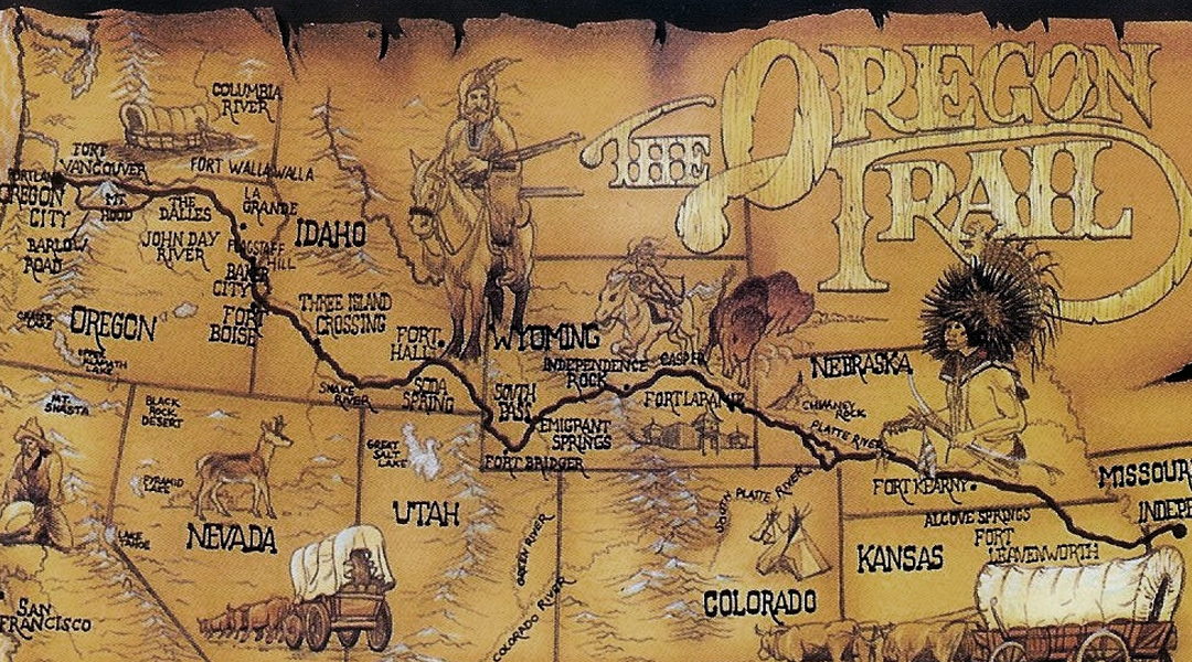
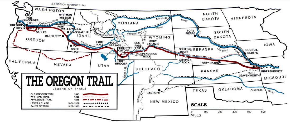
Week 46: The Reverse Oregon Trail to the Moon
We first arrived at the Pacific Ocean in late January, and it was a constant companion for months. But in early May, we finally hit our northward limit near Seattle, and it was time to hitch up our wagons, turn the corner, and bid a sad adieu to the West Coast.
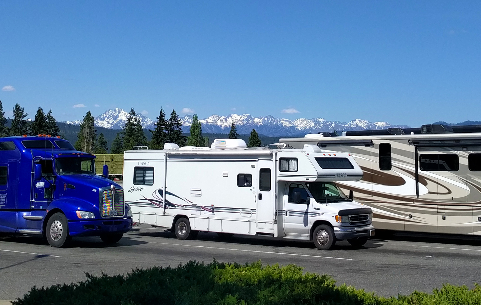
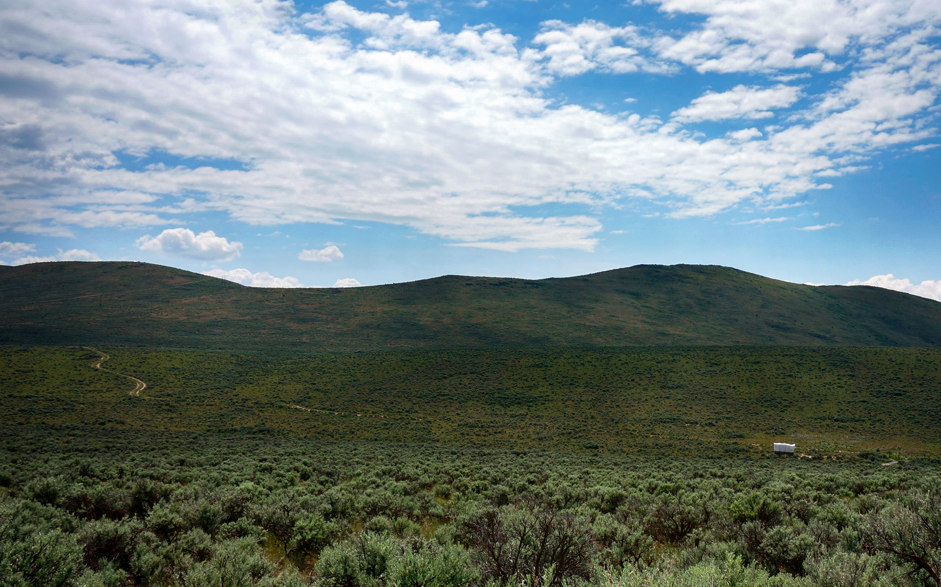
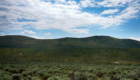
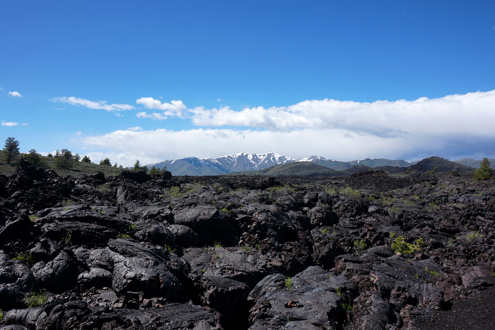
We drove southeast across Washington, Oregon, and Idaho for two long but beautiful days, and it was fascinating to watch the terrain change before our eyes. As we crossed the spine of the Cascade mountains, the pristine evergreen forests suddenly disappeared, turning into scrubland that reminded us of West Texas.
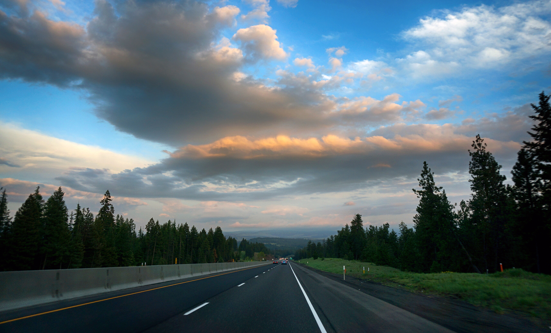

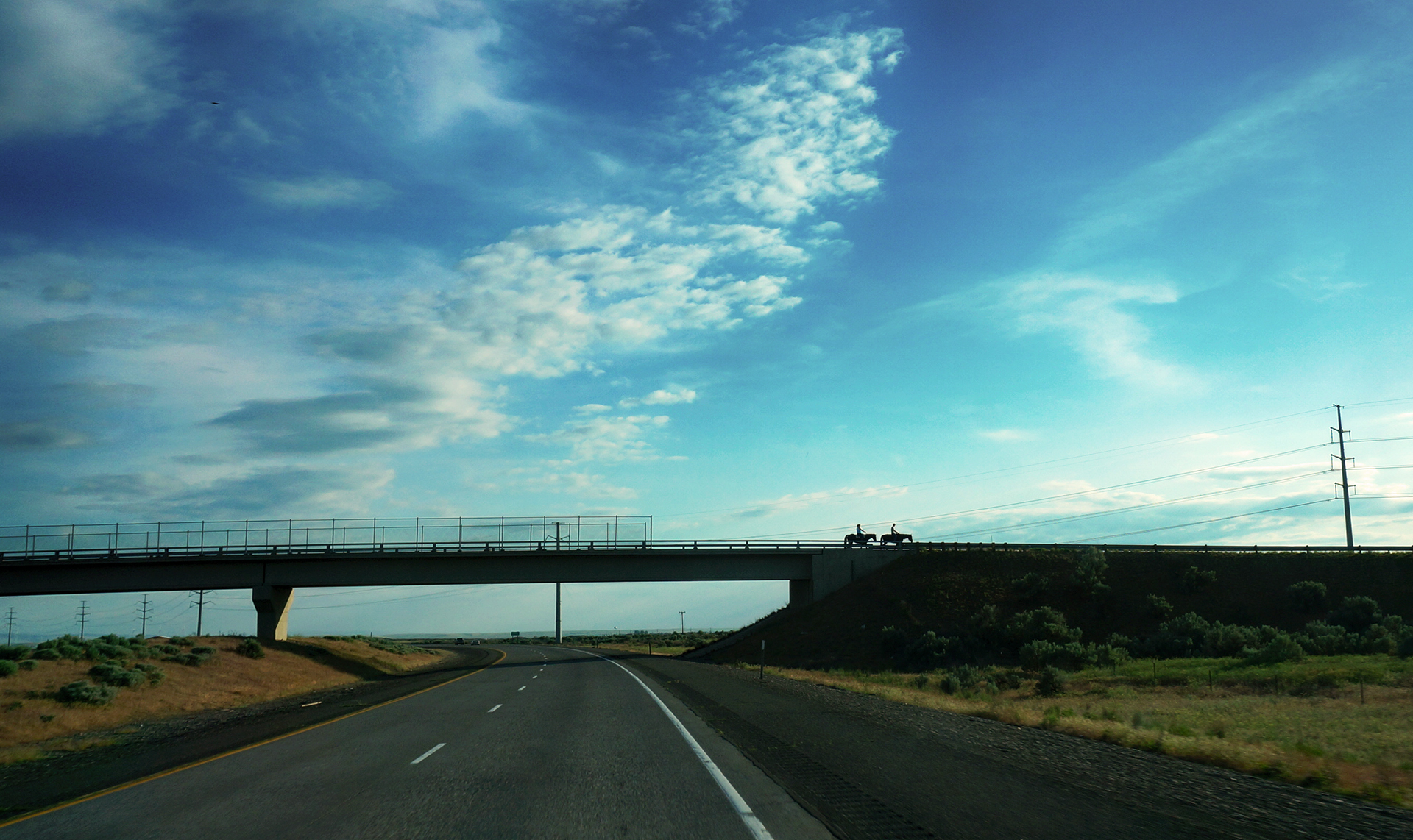

As it turns out, while western Washington is the wettest place in the country, the eastern parts of Washington and Oregon are high deserts. Fresh off of redwoods and rainforests, it was a sudden transition, but a welcome one – because the desert is freaking awesome.
Grueling Pace
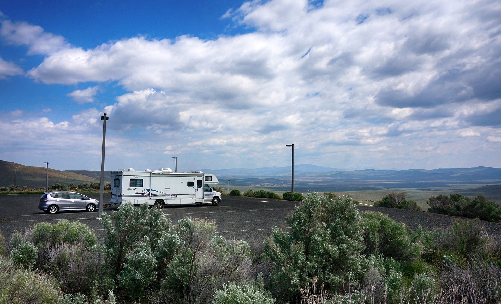
We covered a lot of ground in two days. Our first night was spent at a Wal-Mart near La Grande, Oregon, an area which seemed pretty empty even to us. The Wal-Mart parking lot was quite popular, though, especially among travelers – so much so that there was actually a placard where we parked our RV suggesting things to do in the area.
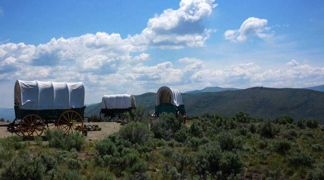
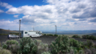
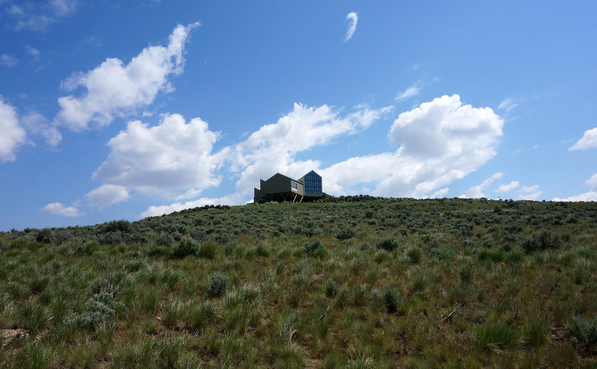
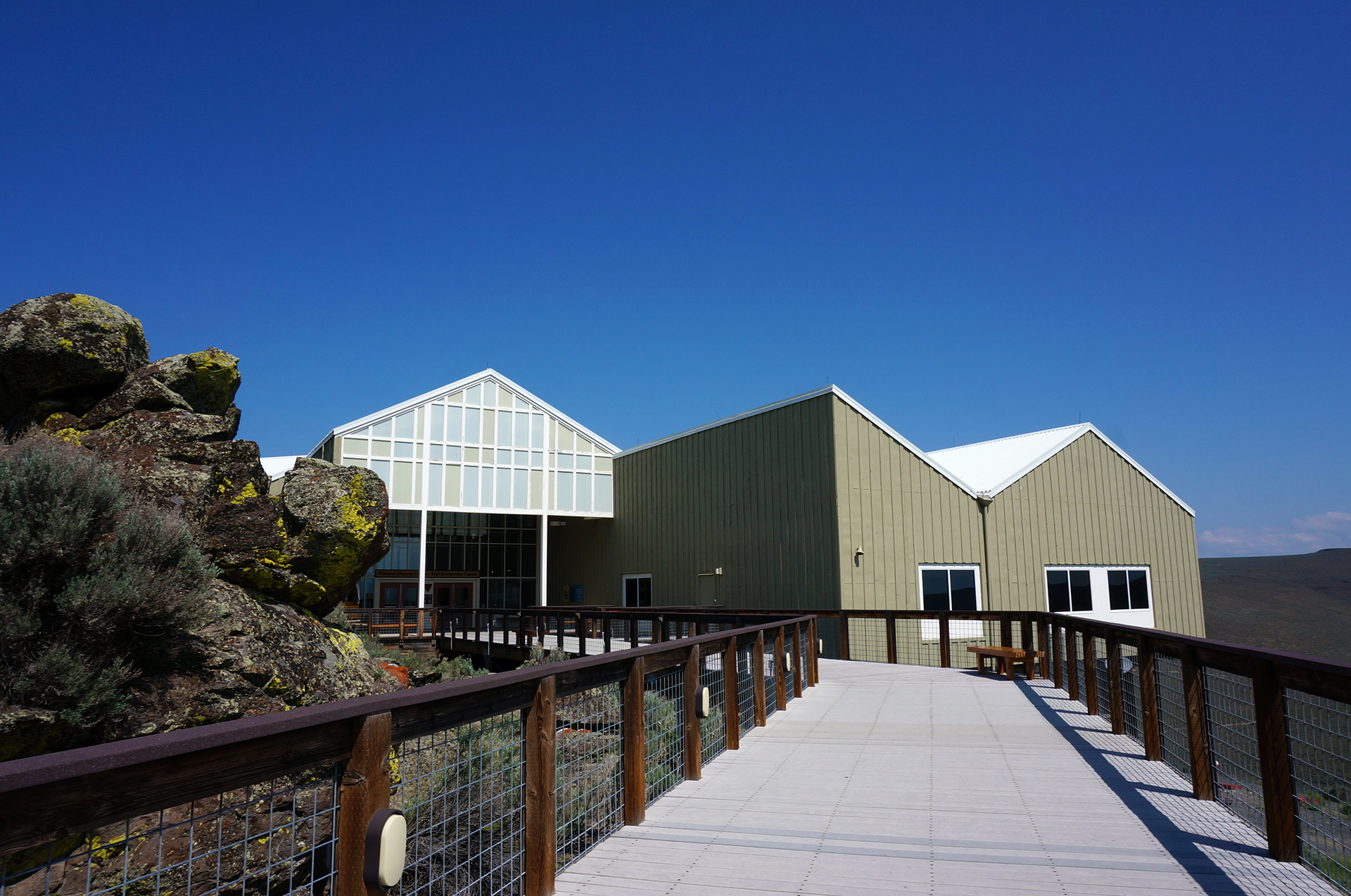
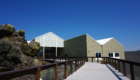
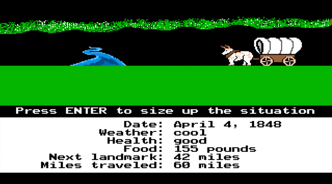
The next morning, we stopped at the excellent National Historic Oregon Trail Interpretive Center in Baker City, which was filled with cool displays about life on the actual Oregon Trail. Sadly, there were no monocolor terminals available to play the original game (which we have a “slight” affinity for), but it was fascinating nonetheless.
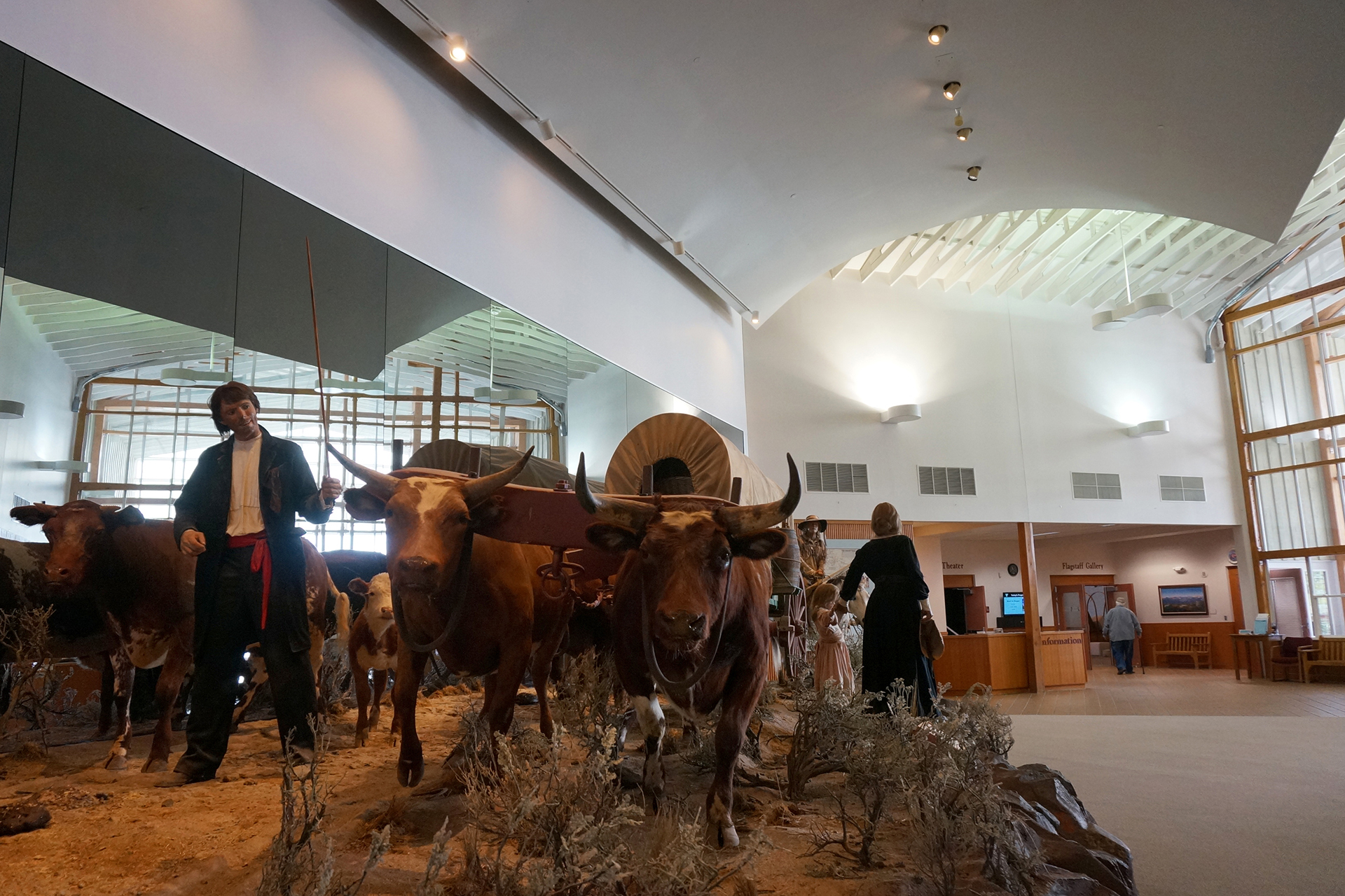

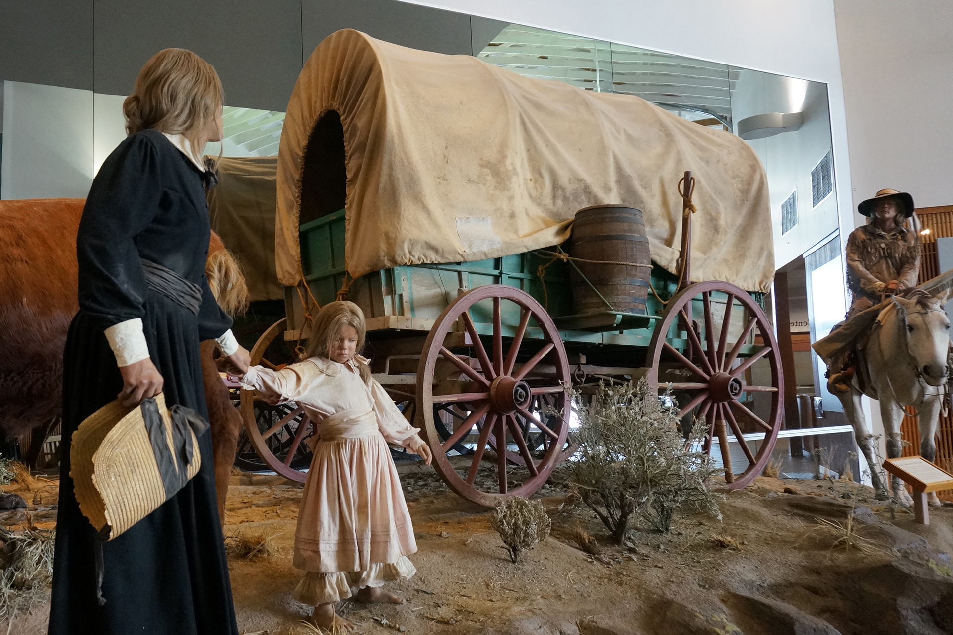


Here’s a fun fact we’re pretty sure we saw here: people constantly tried to bring their 1,000+ lb cast iron stoves in their wagons with them, only to have to abandon them along the trail because of the weight. A local entrepreneur realized this and began collecting the stoves from the trail, then bringing them back and selling them to new trailgoers, thereby creating his own, stove-based internal economy. Smart!
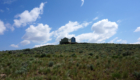
After checking out the museum and learning some interesting tidbits, we went outside and took a short hike through the blazing desert sun – still weird to think about in Oregon – for some pretty scenery…
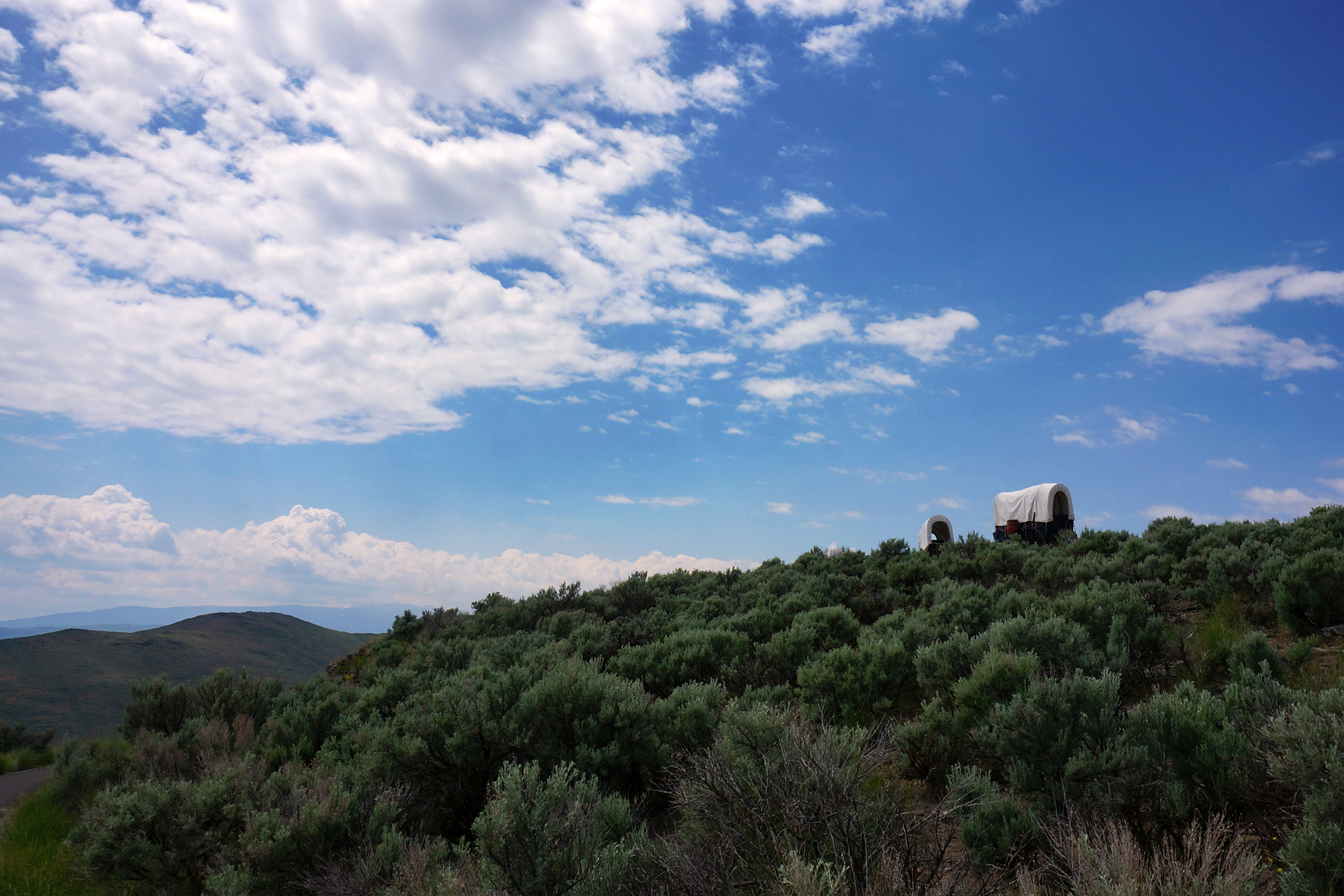
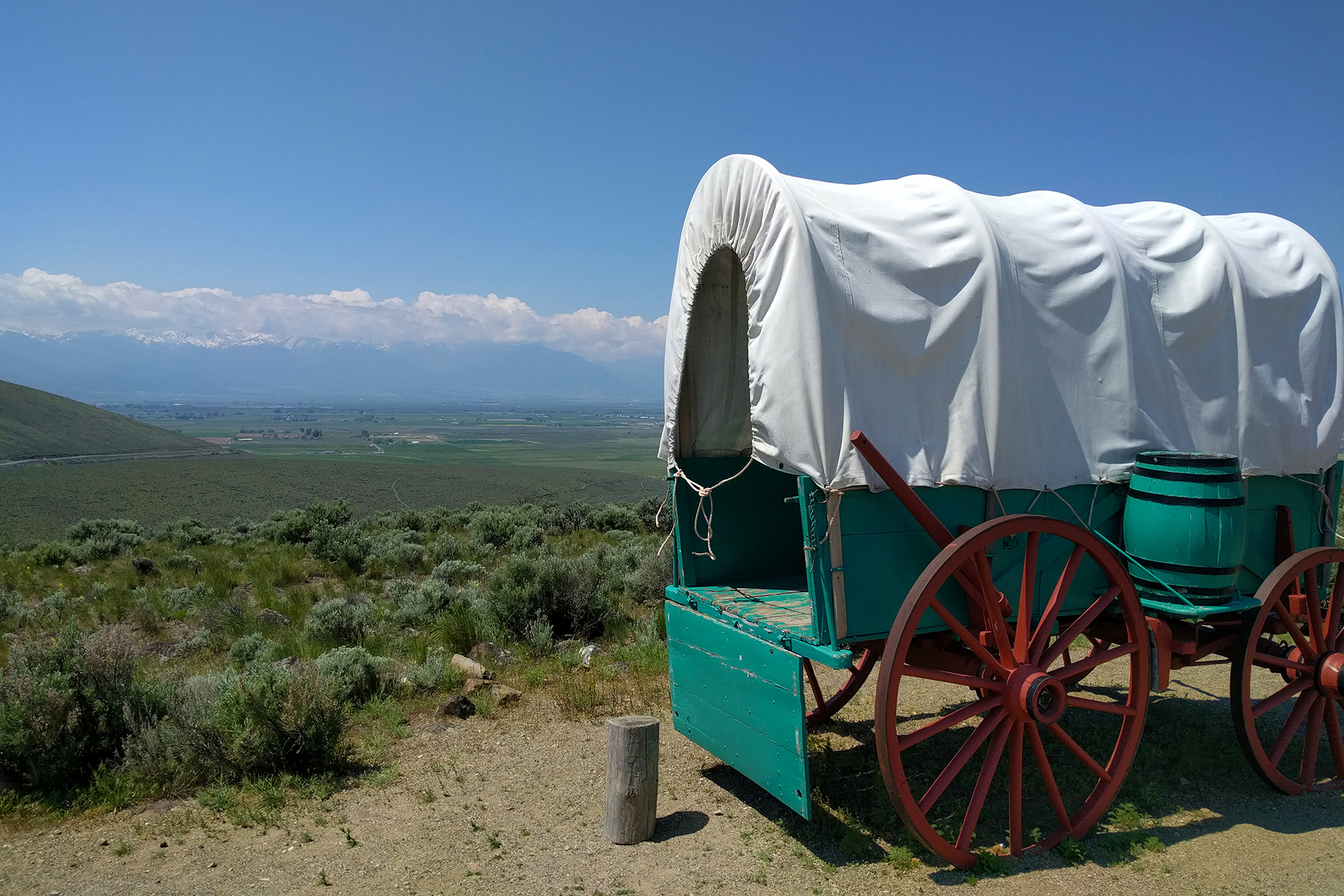
… and a view of the actual wagon ruts from the actual Oregon Trail!

Wait, the actual Oregon Trail? From the 1850s?
Well, that’s what they claimed, but upon reading the fine print, we discovered they were “reproductions” of where the wagons would have rolled. Eh, close enough.
Fording the Snake River
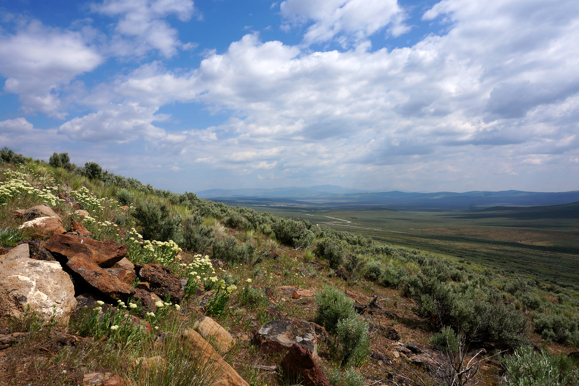
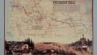
After the Interpretive Center, we headed along essentially the reverse path of the old Oregon Trail. Southern Idaho is basically one big mountain range with a giant valley cutting a pass through it – you can see it with Google Earth – and there’s really only one sane way to go across it. We used the same way the settlers did, just slightly more easily.
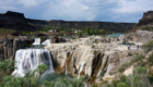
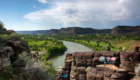
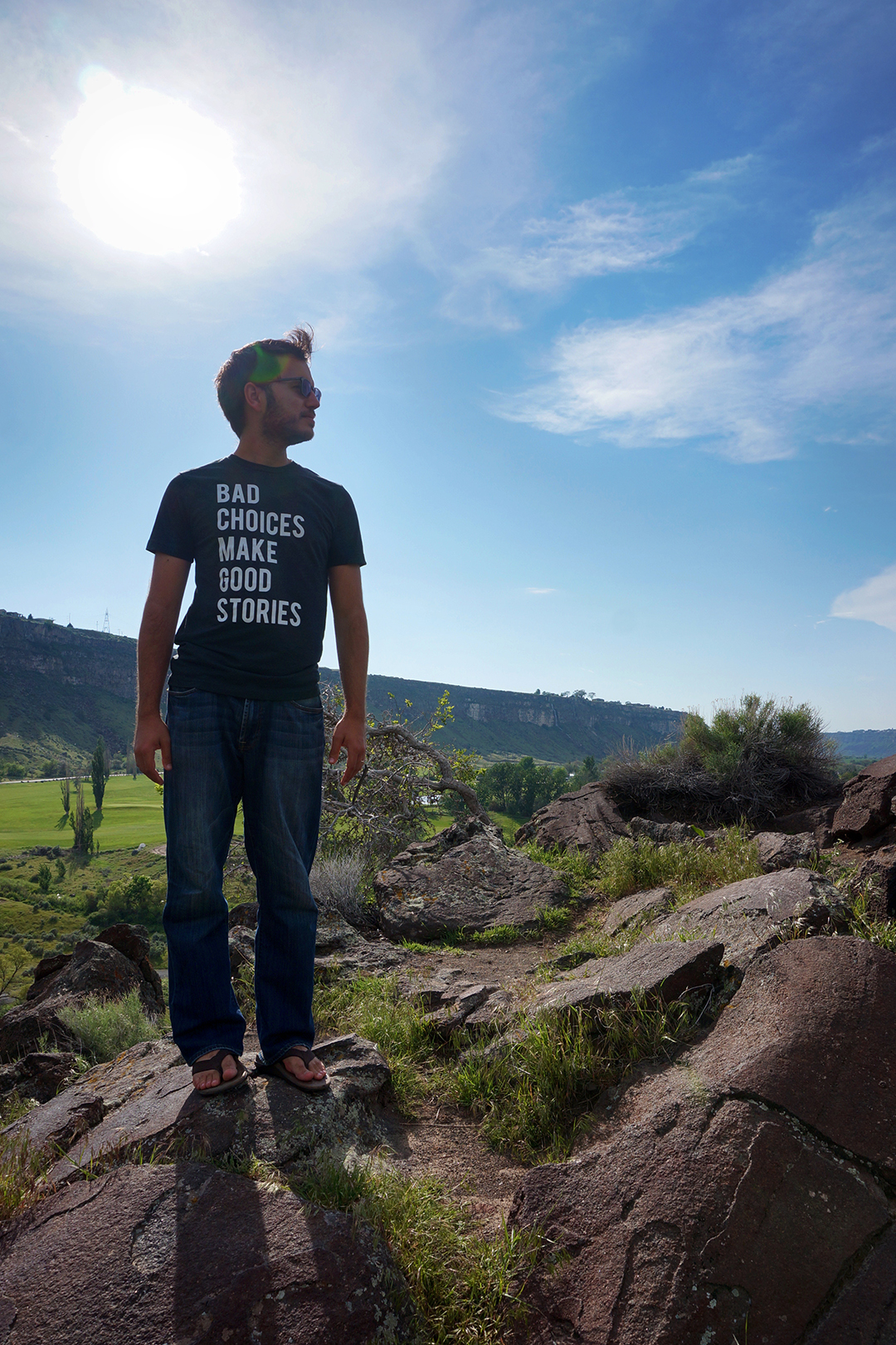
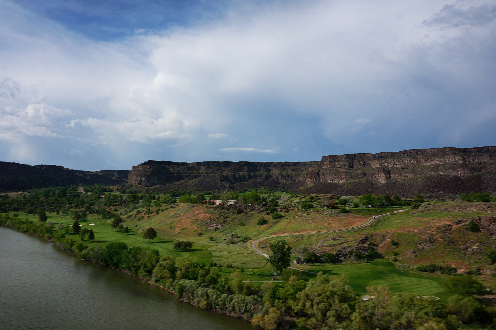
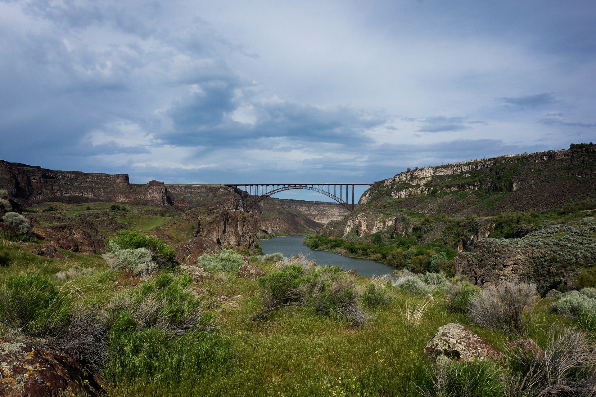
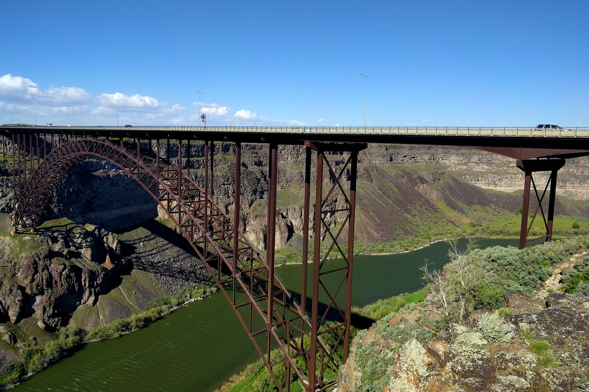
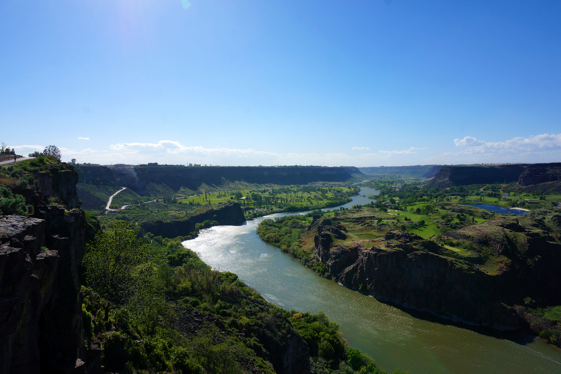
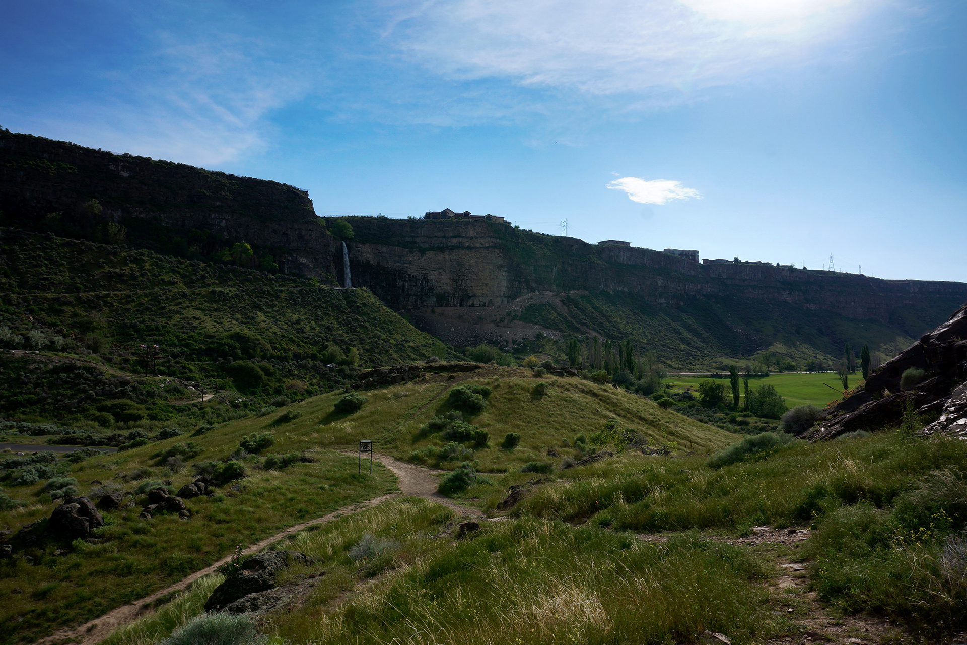
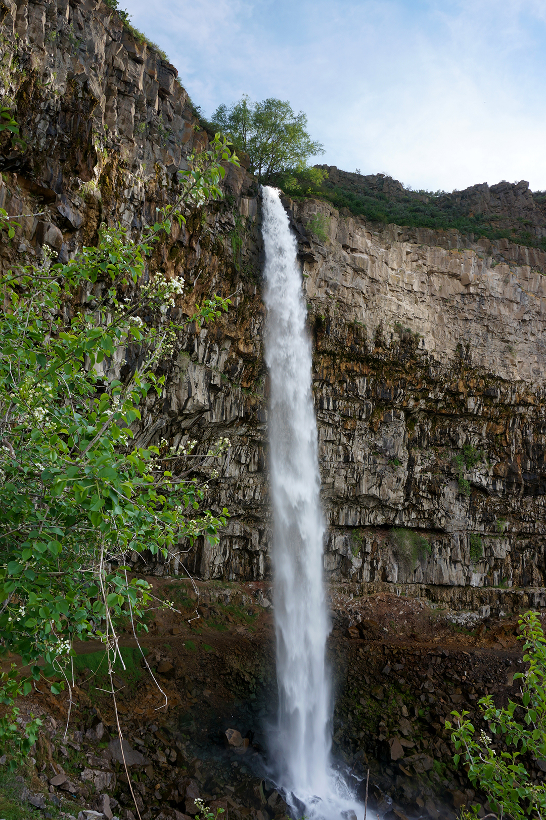
We stopped for a few days in Twin Falls, Idaho, in the center of the valley. We aren’t sure what we expected from Idaho, but it was surprisingly prosperous and normal. We stocked up on supplies (but no cast-iron stoves), ate at a restaurant called Jakers (!!), and found out that there actually are two waterfalls in Twin Falls.
Oh, and the falls are spectacular.

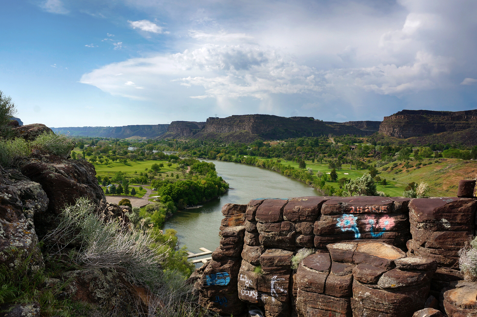
Shoshone Falls claims to be the “Niagara of the West,” which is pretty questionable considering there were like 20 people there (and no casinos). That said, it roars with some serious force. The Snake River Canyon that it sits in is no slouch, either – a full mile wide, Evel Knievel once tried to jump the gorge on his “specially engineered rocket motorcycle,” but he failed when his parachute opened immediately on takeoff. (A bummer to be sure, but it definitely could have been worse.)
The whole gorge area was extraordinarily beautiful, including the other waterfall and the Perrine Bridge crossing the chasm. We really knew nothing about Twin Falls and didn’t expect to wander into something like this, but that’s basically why the West is awesome.


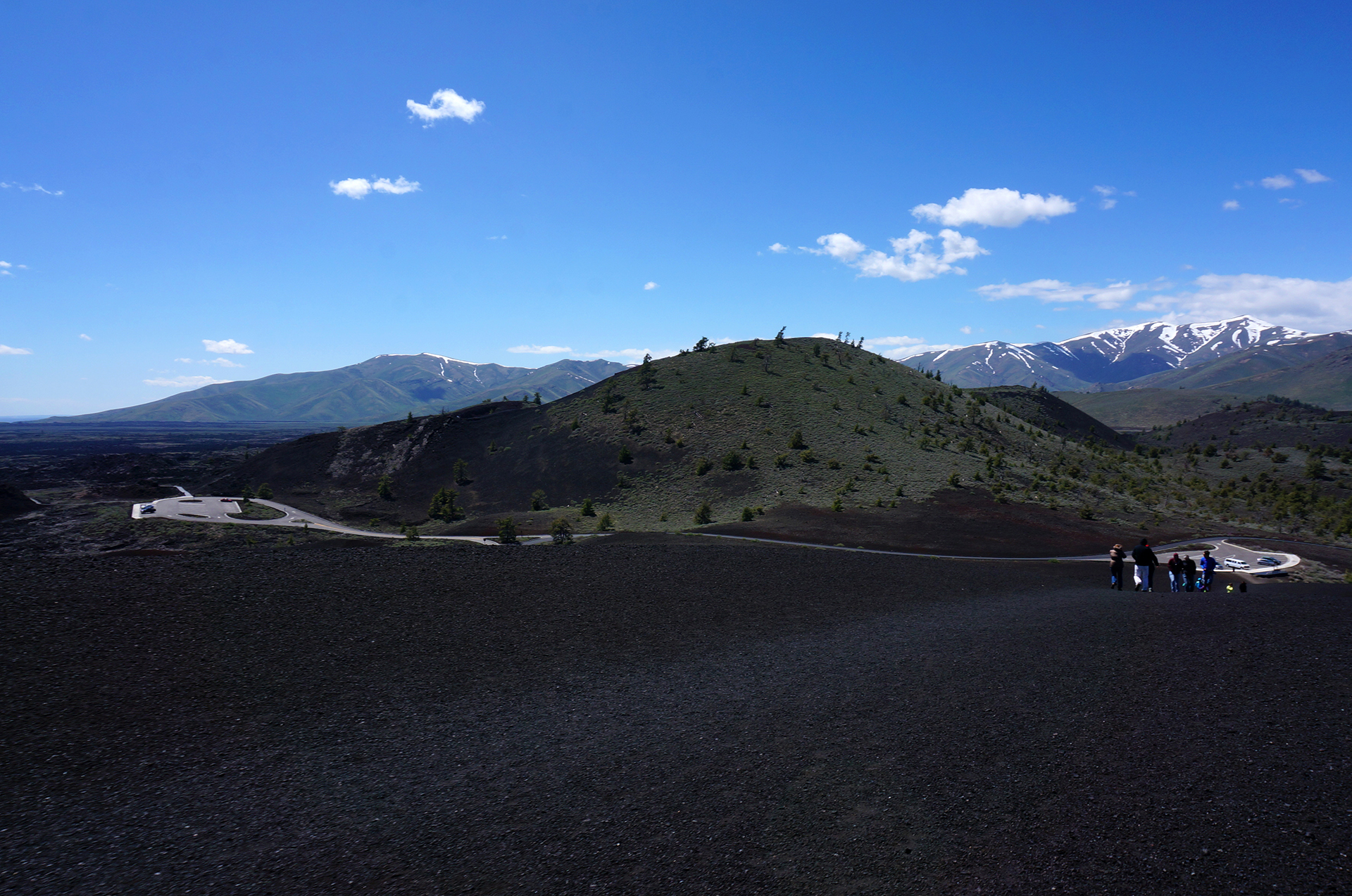
Crater Faces
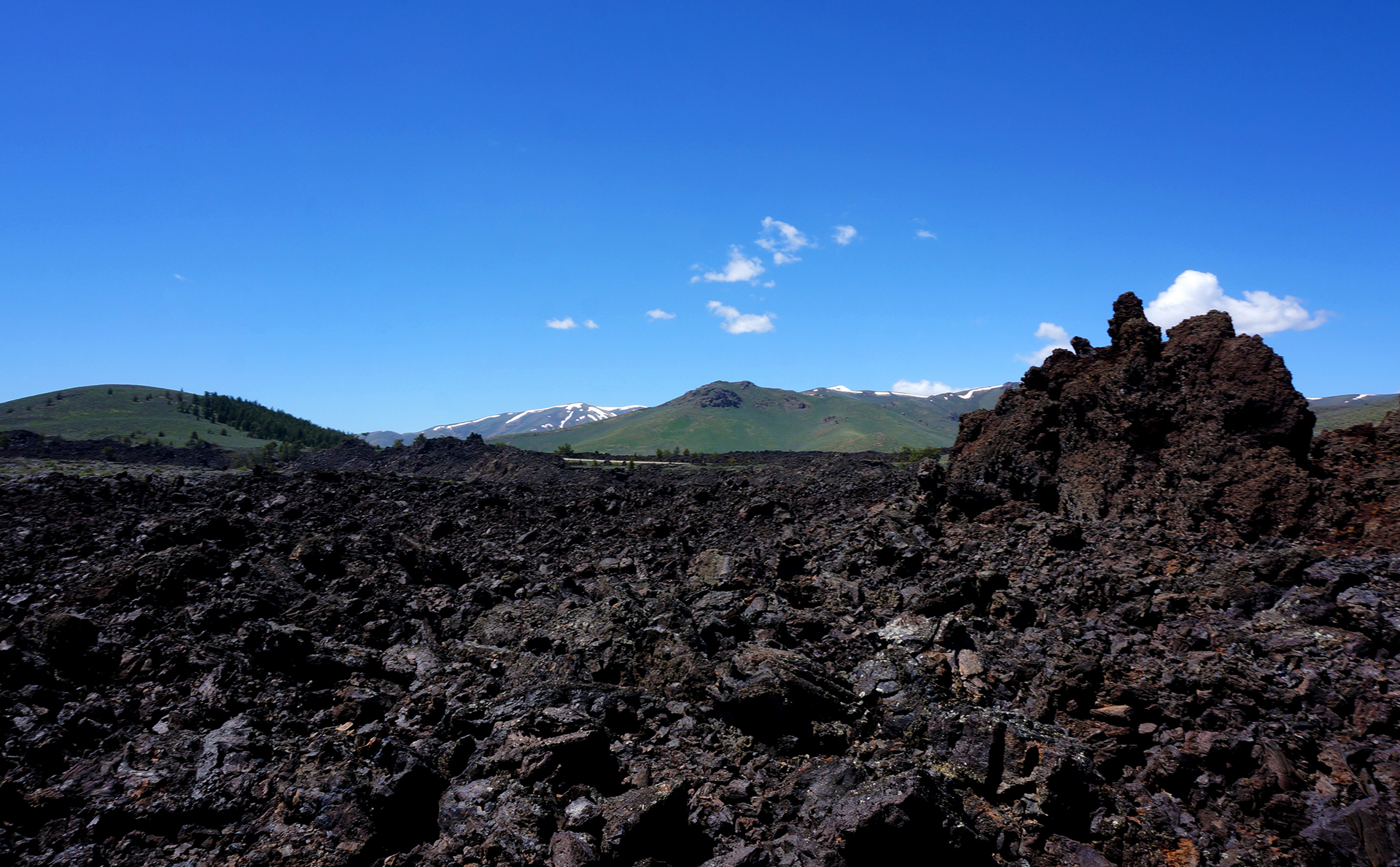
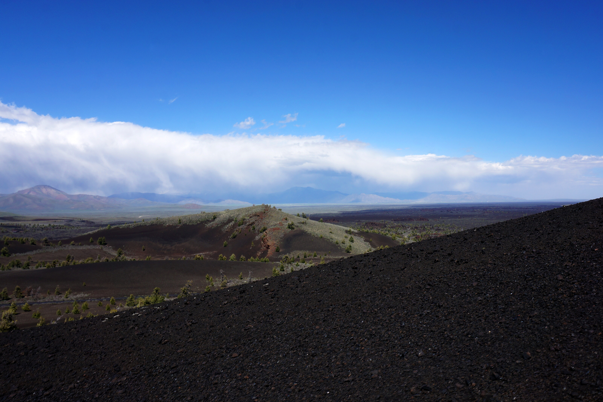
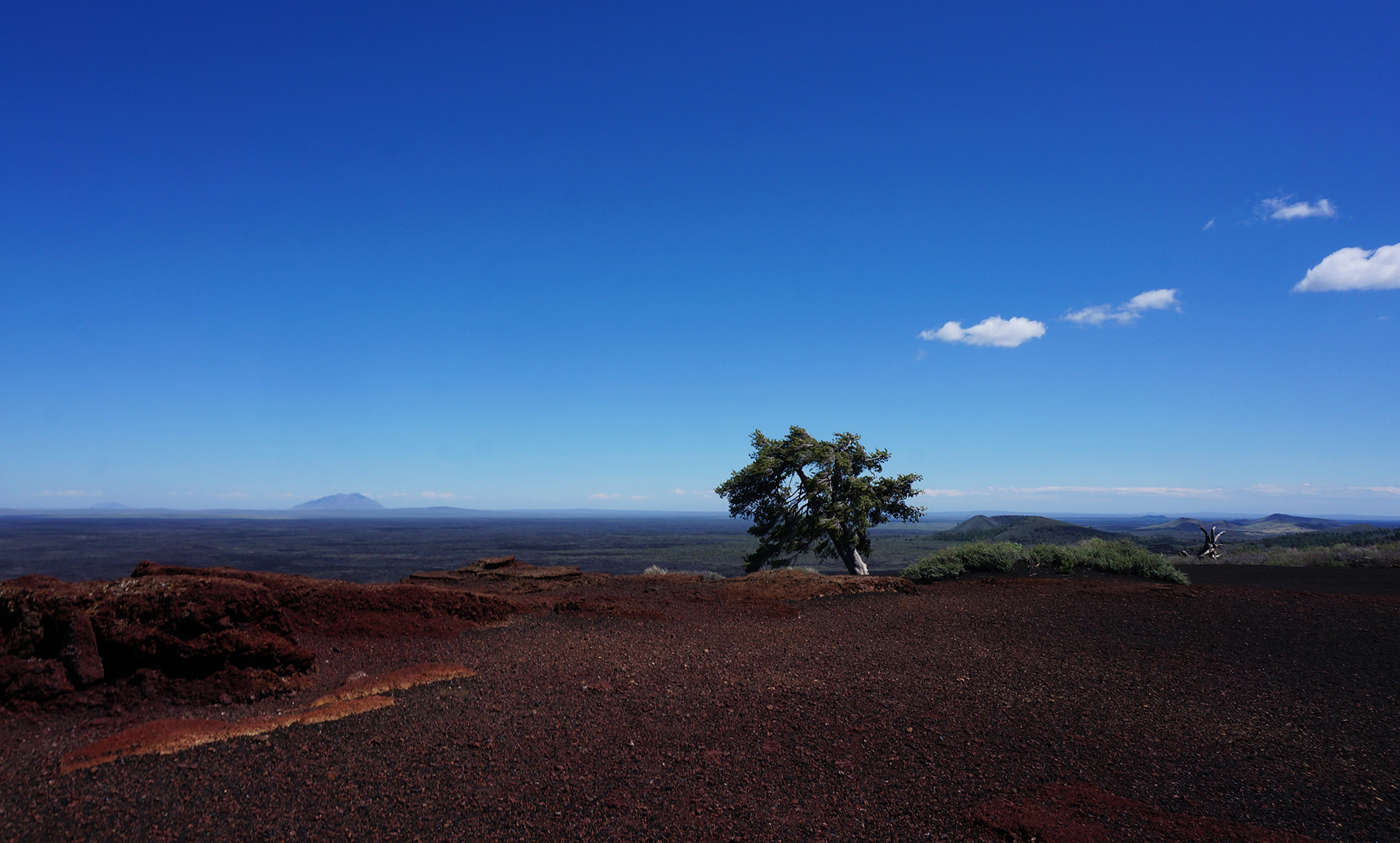
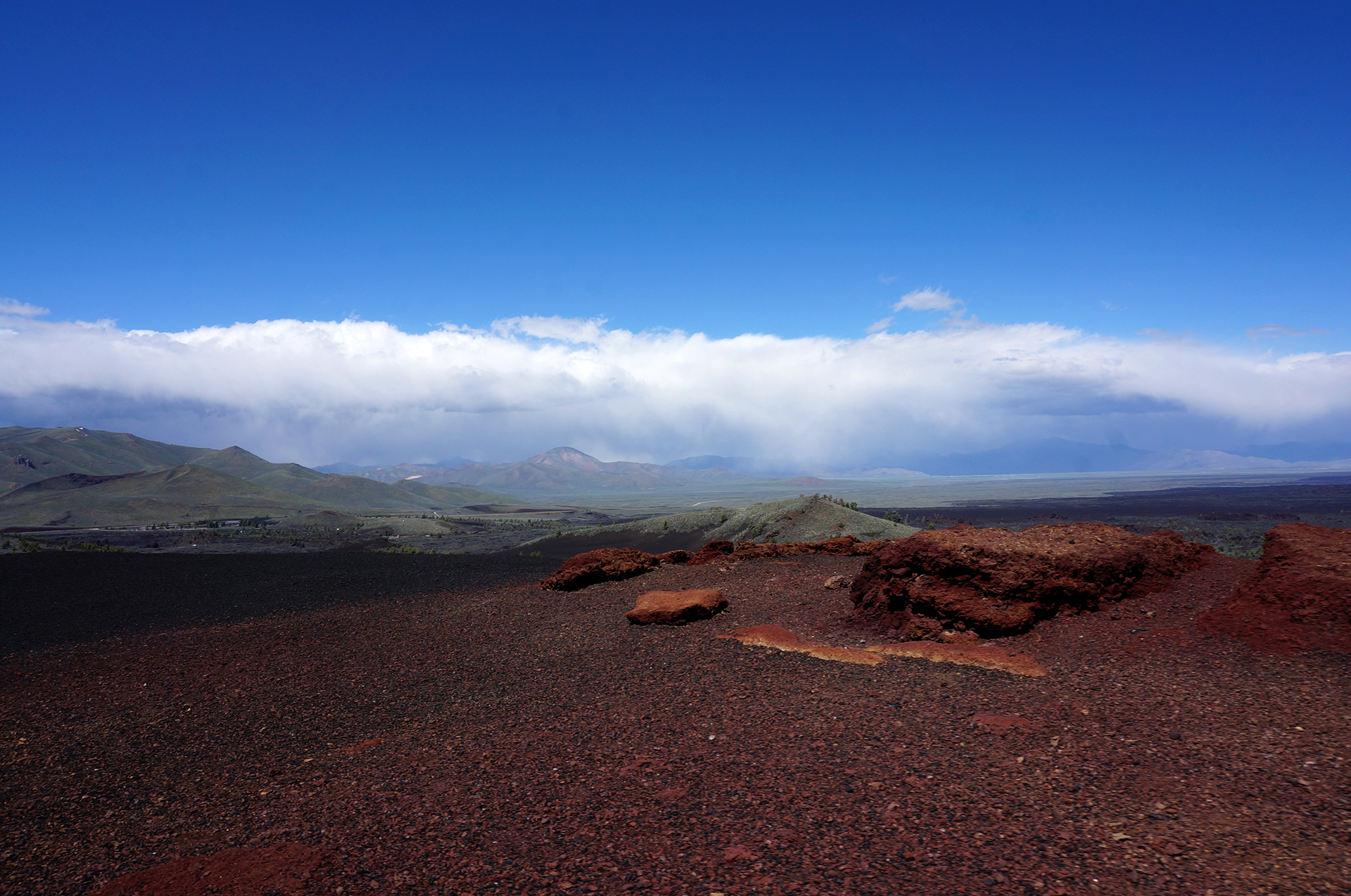
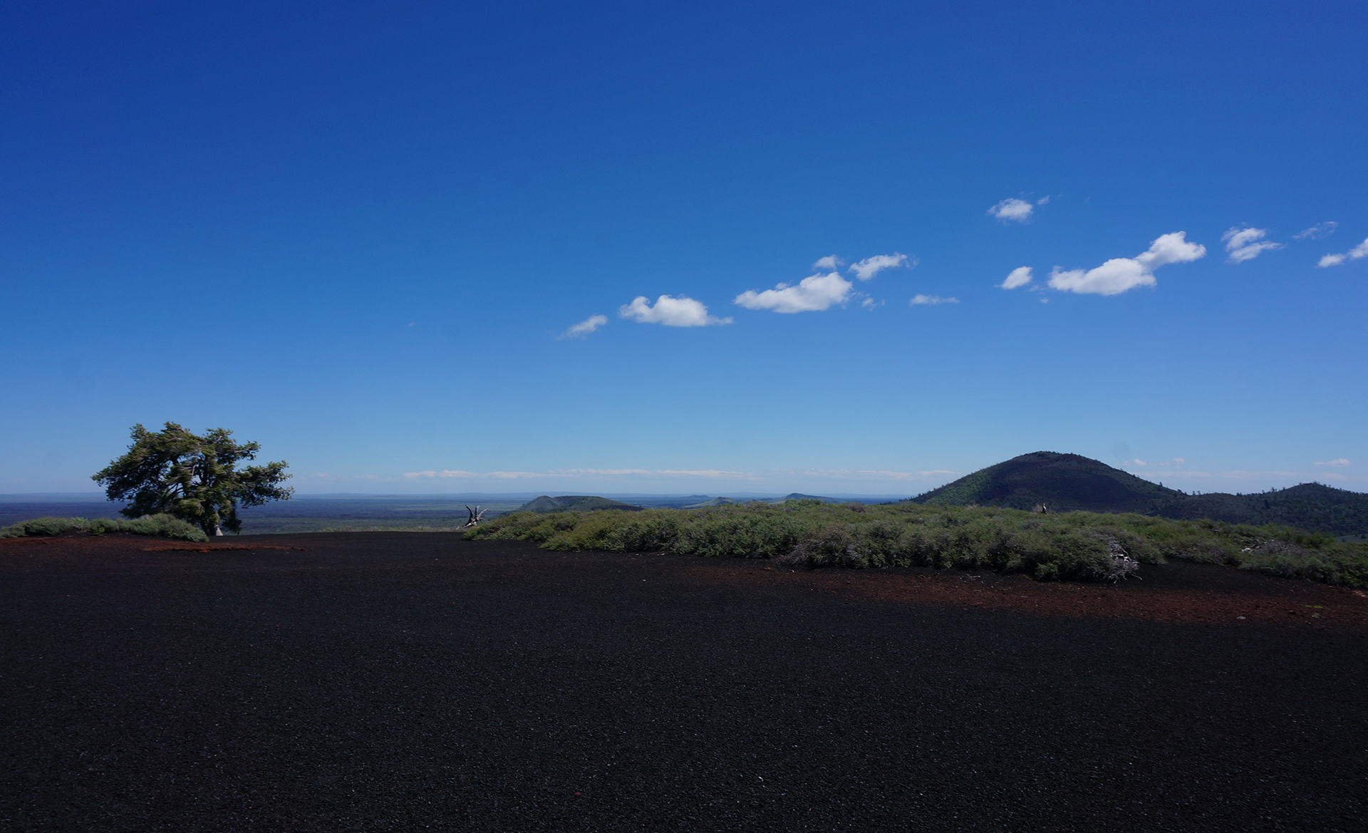
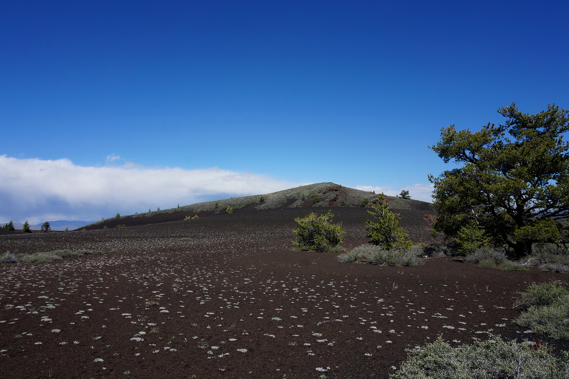
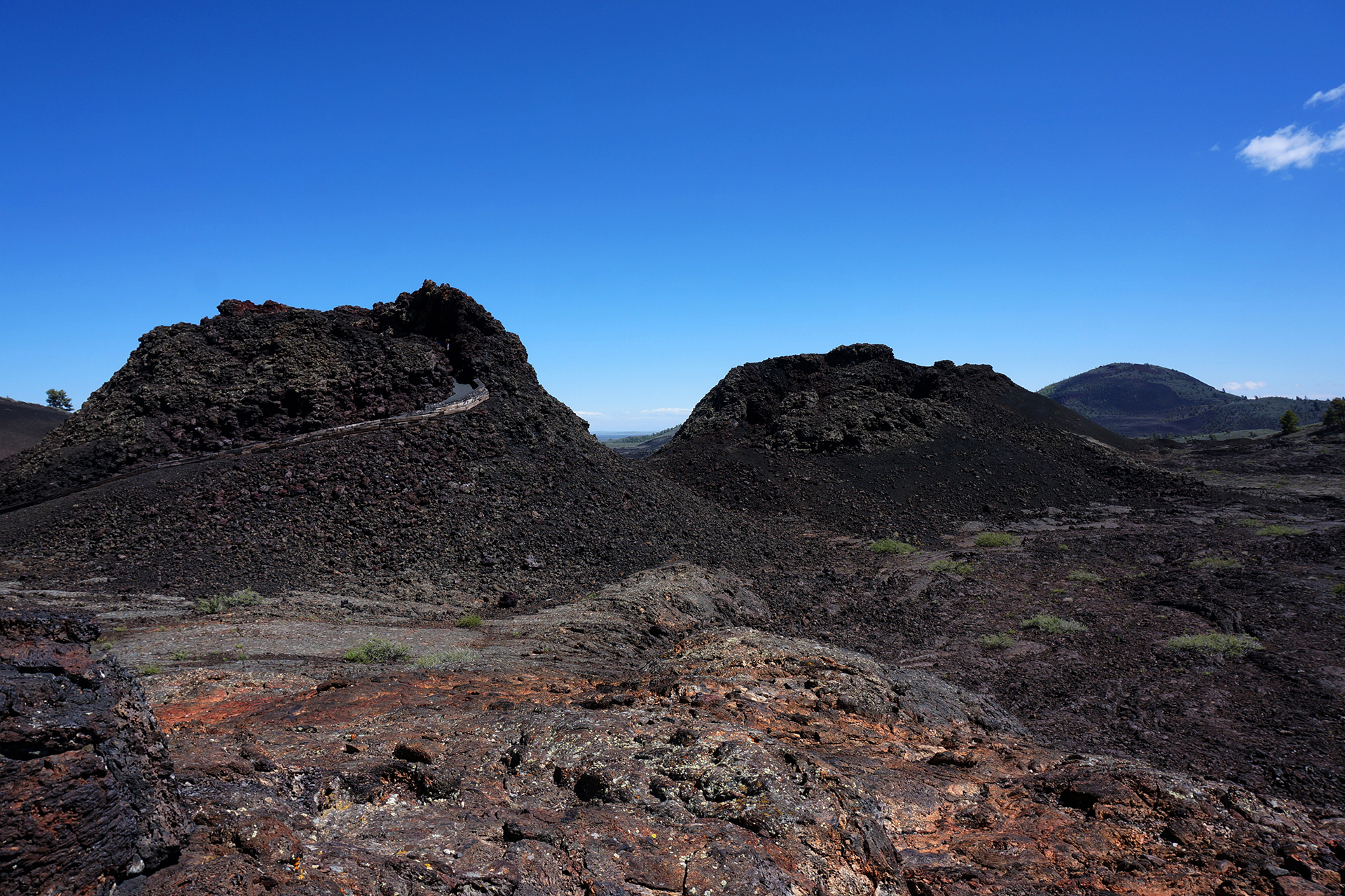
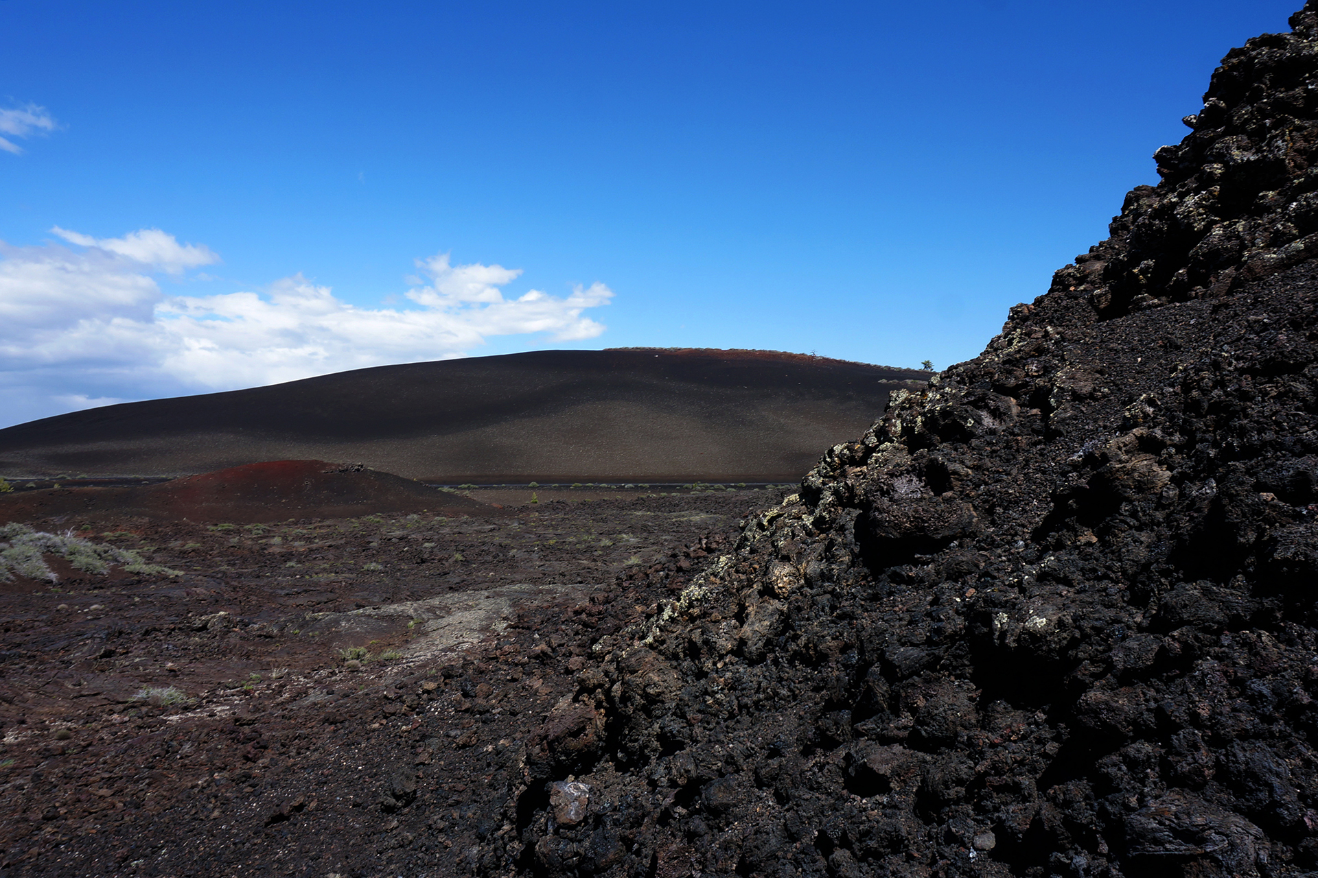
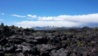
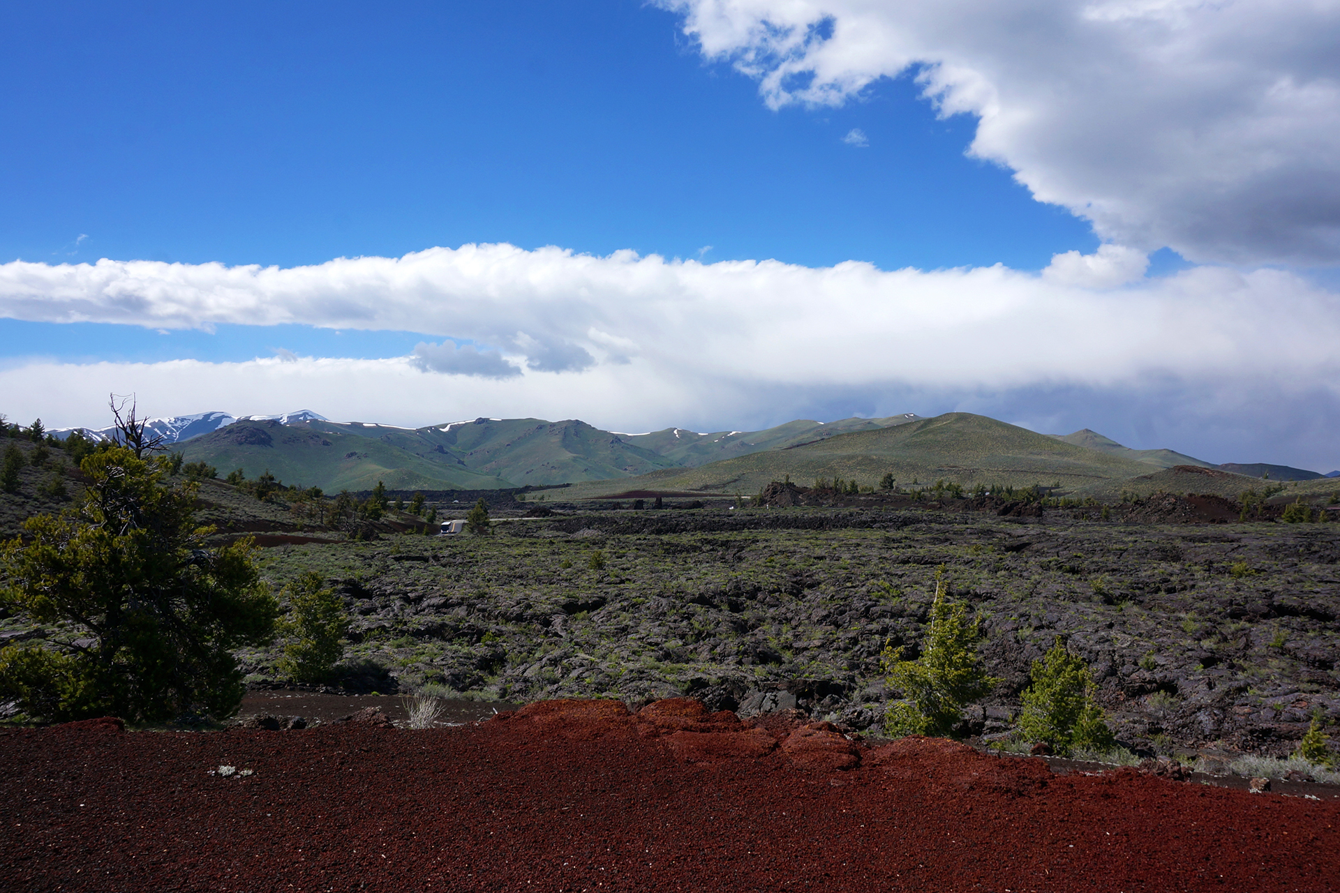
The one thing we did expect to do in Twin Falls was visit Craters of the Moon National Monument, and it didn’t disappoint. The “craters” are just remnants from an ancient lava flow, but they look otherworldly, especially in a setting like Idaho instead of Hawaii.
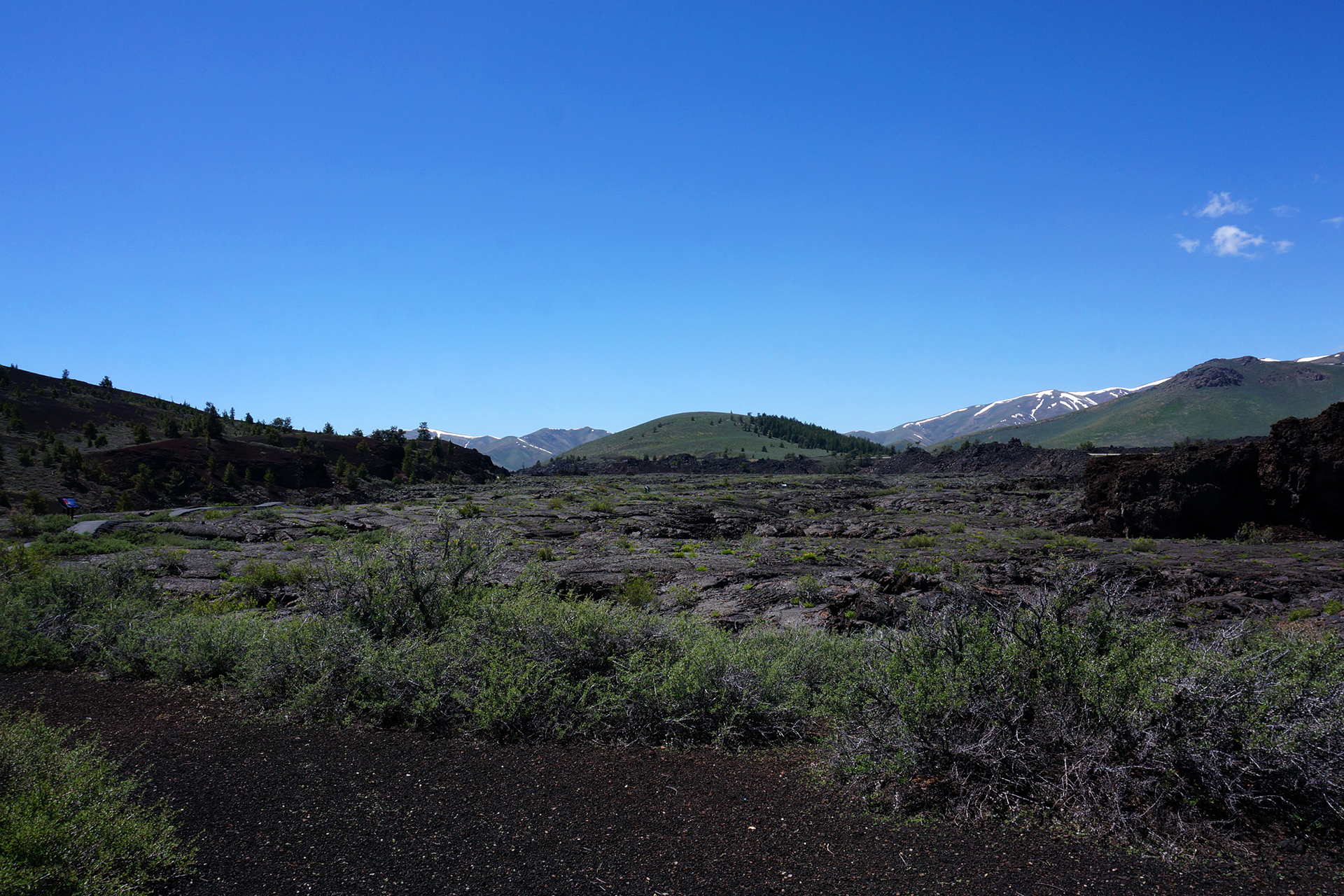
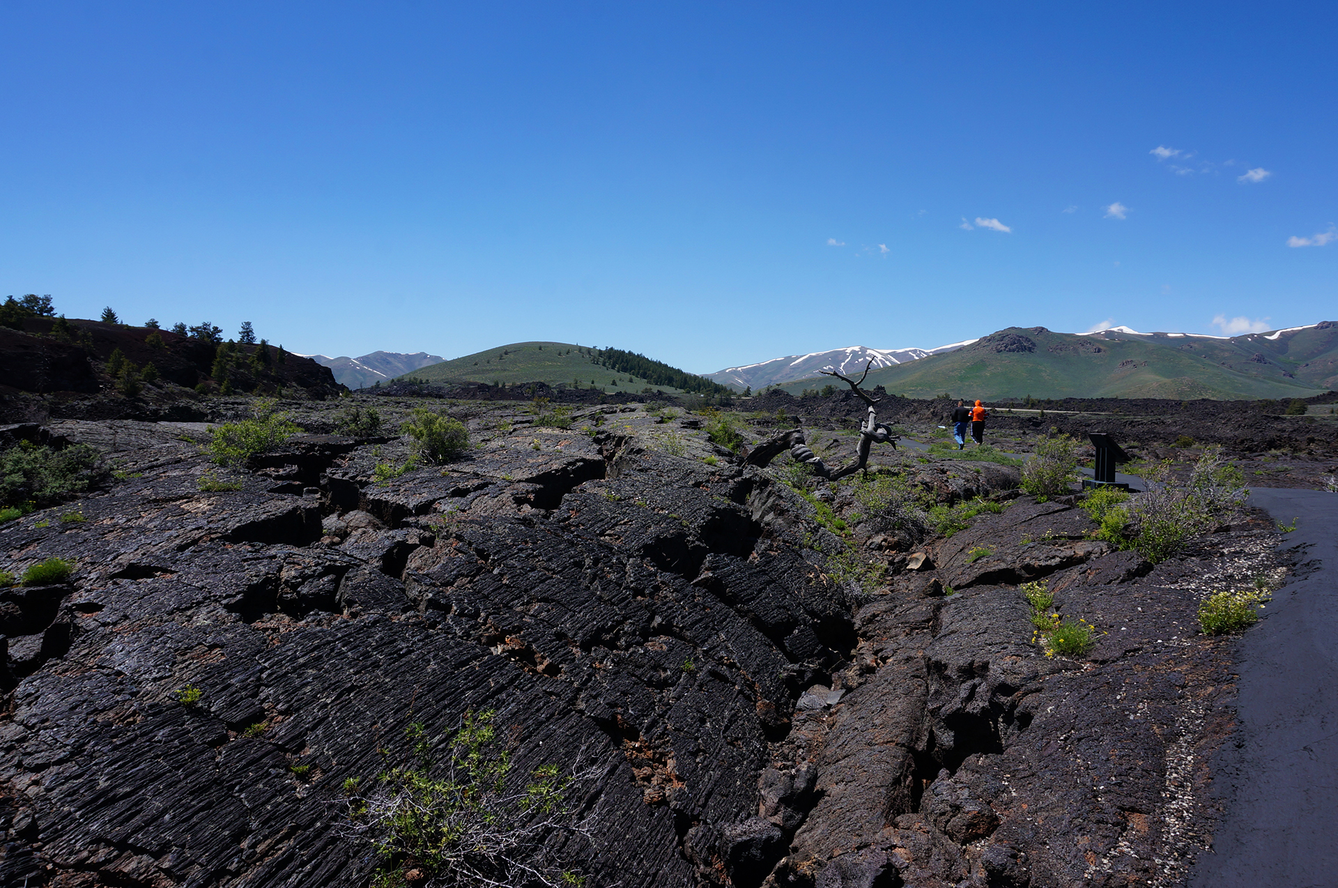

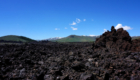
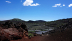

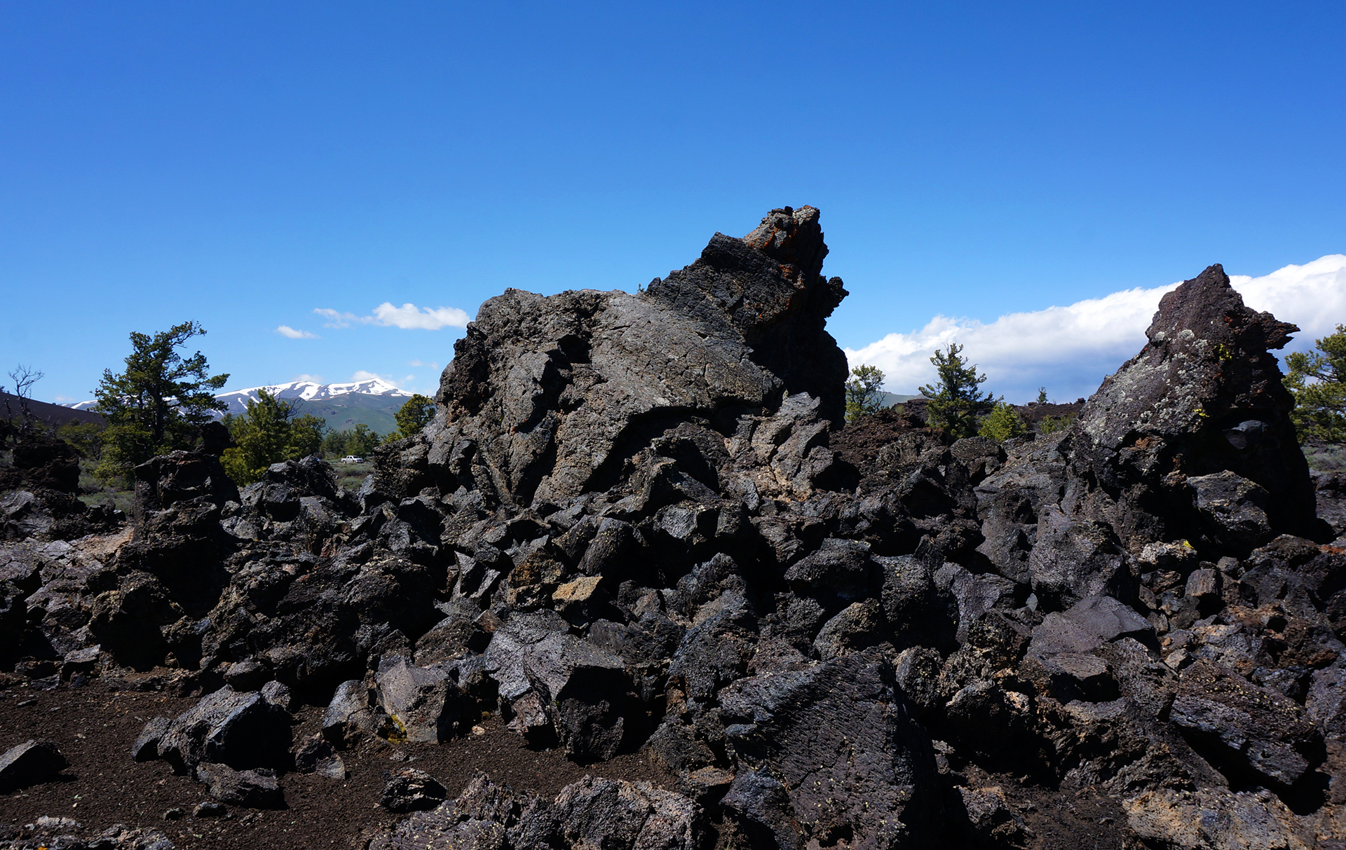
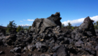
The lava field shown above is the North Crater Flow, and it’s only about 2,000 years old – a baby, really. The oldest lava fields in the park are around 15,000 years old, and although they are currently “dormant,” they are expected to erupt in less than a thousand years. We thought about waiting around a couple hundred years to watch, but alas, our roadtrip schedule was unforgiving.
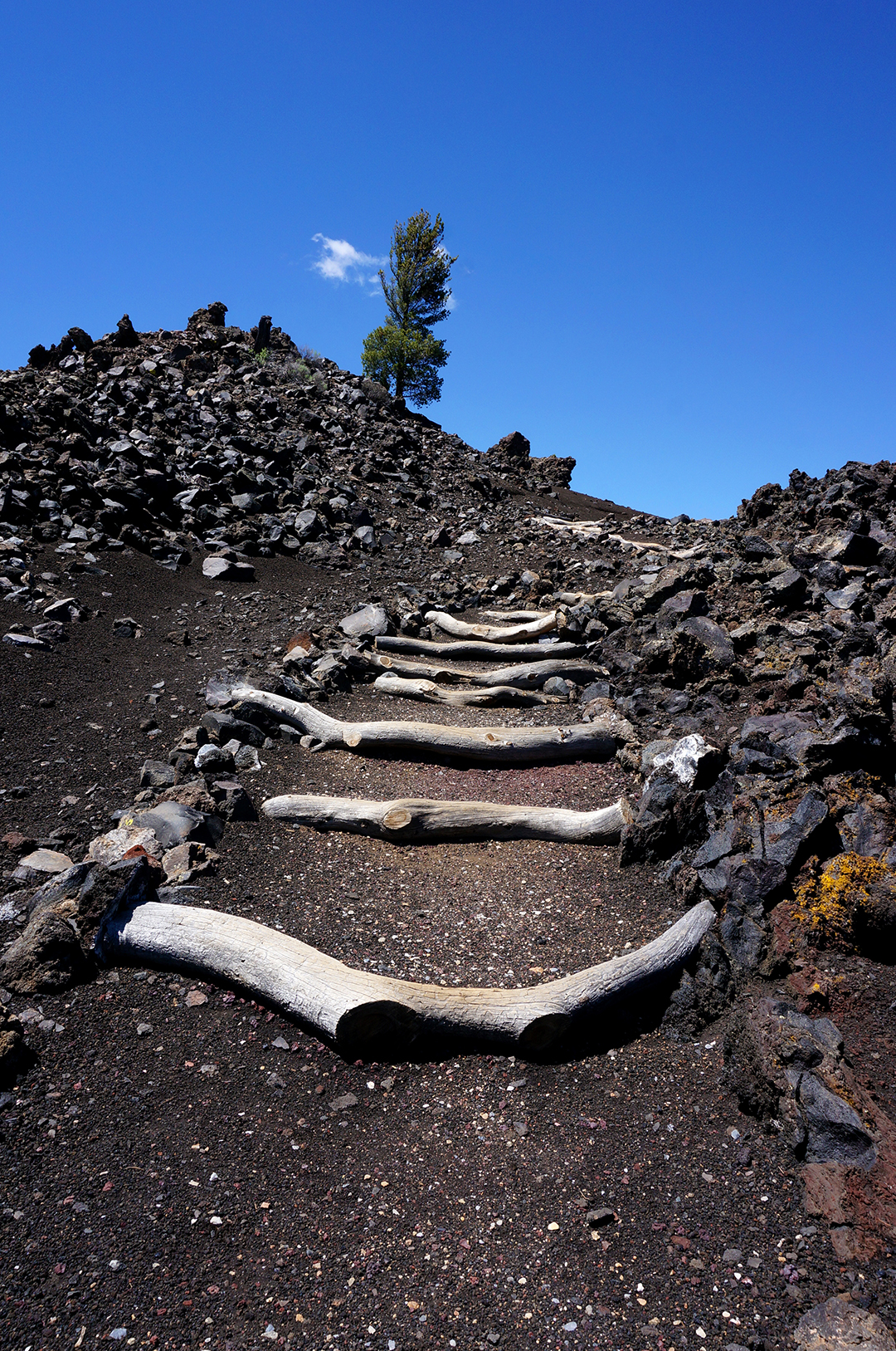
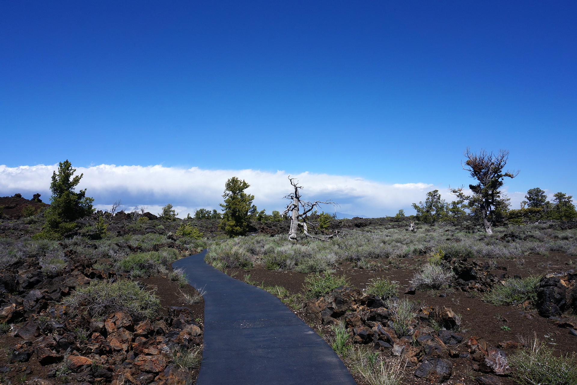
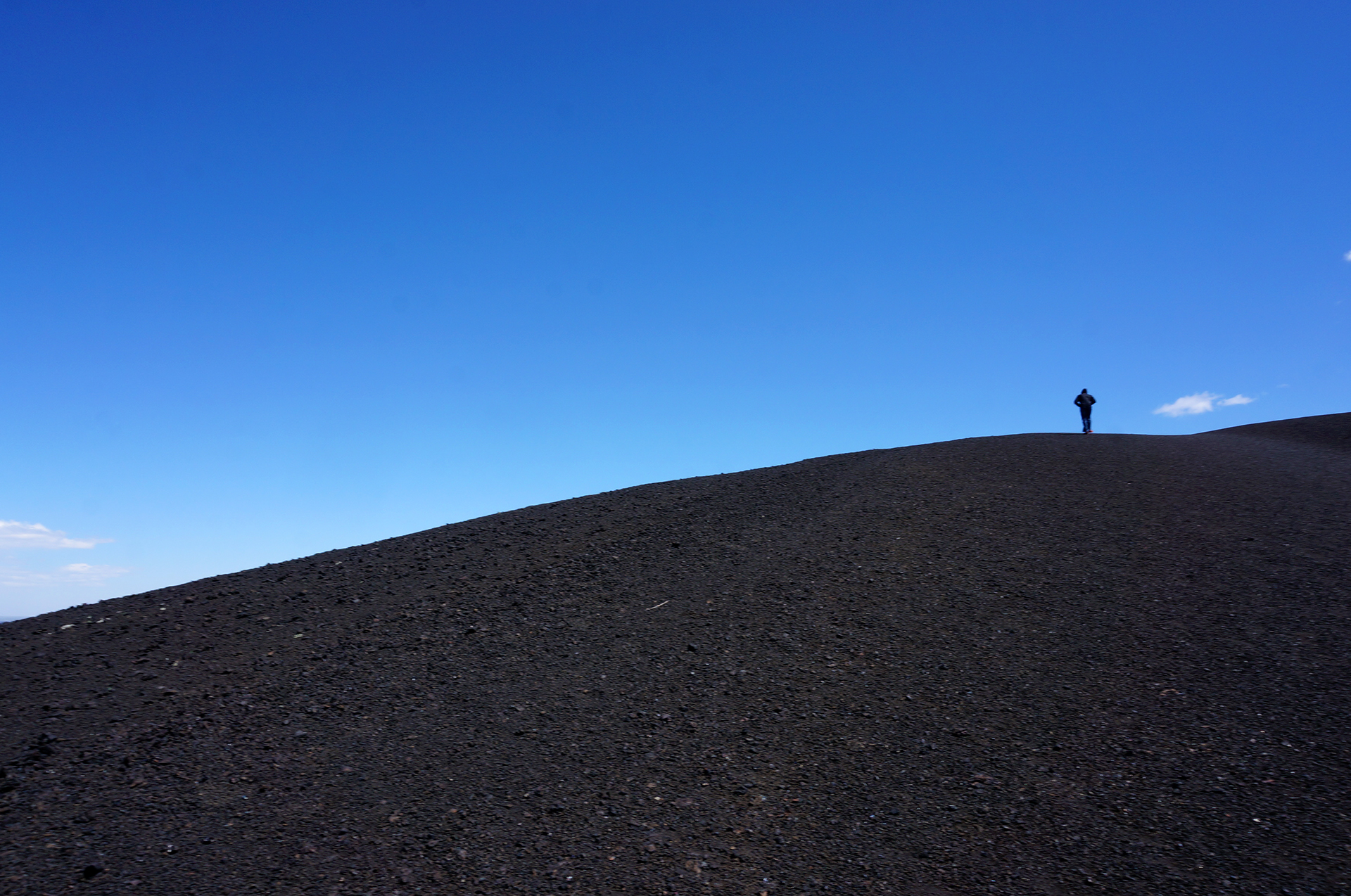
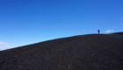
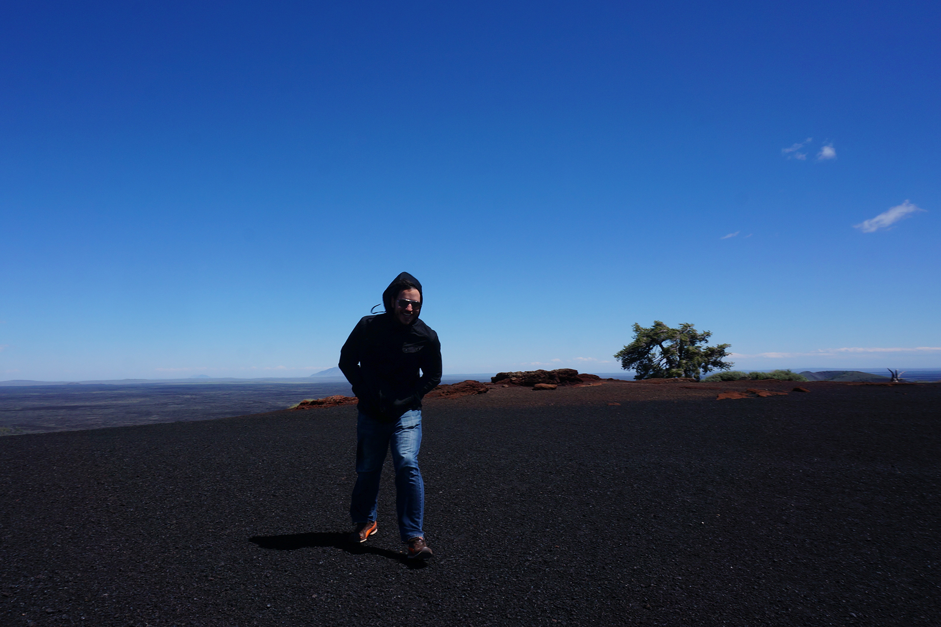
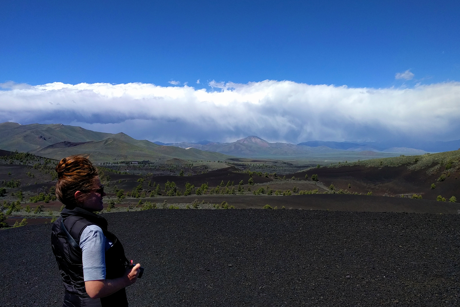
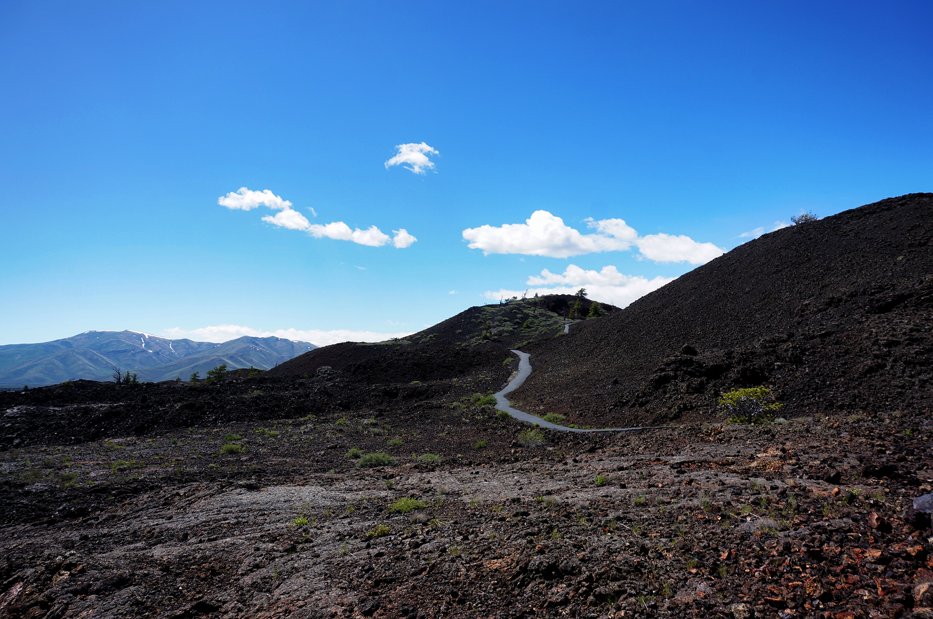
While the lava fields were pretty neat, our favorite feature of the park was the cinder cone. Inferno Cone is essentially a 160 ft tall sand dune made out of volcanic ash.

The only downside, and it was a big one, was the ungodly strength of the wind that day. It was constant and oppressive. Climbing up the Inferno Cone required pulling our hoods down and walking nearly parallel to the ground. And since the ground was literally ash, we were under constant assault from airborne particles seeking to make their way into our eyes, ears, noses, and especially mouths.
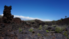
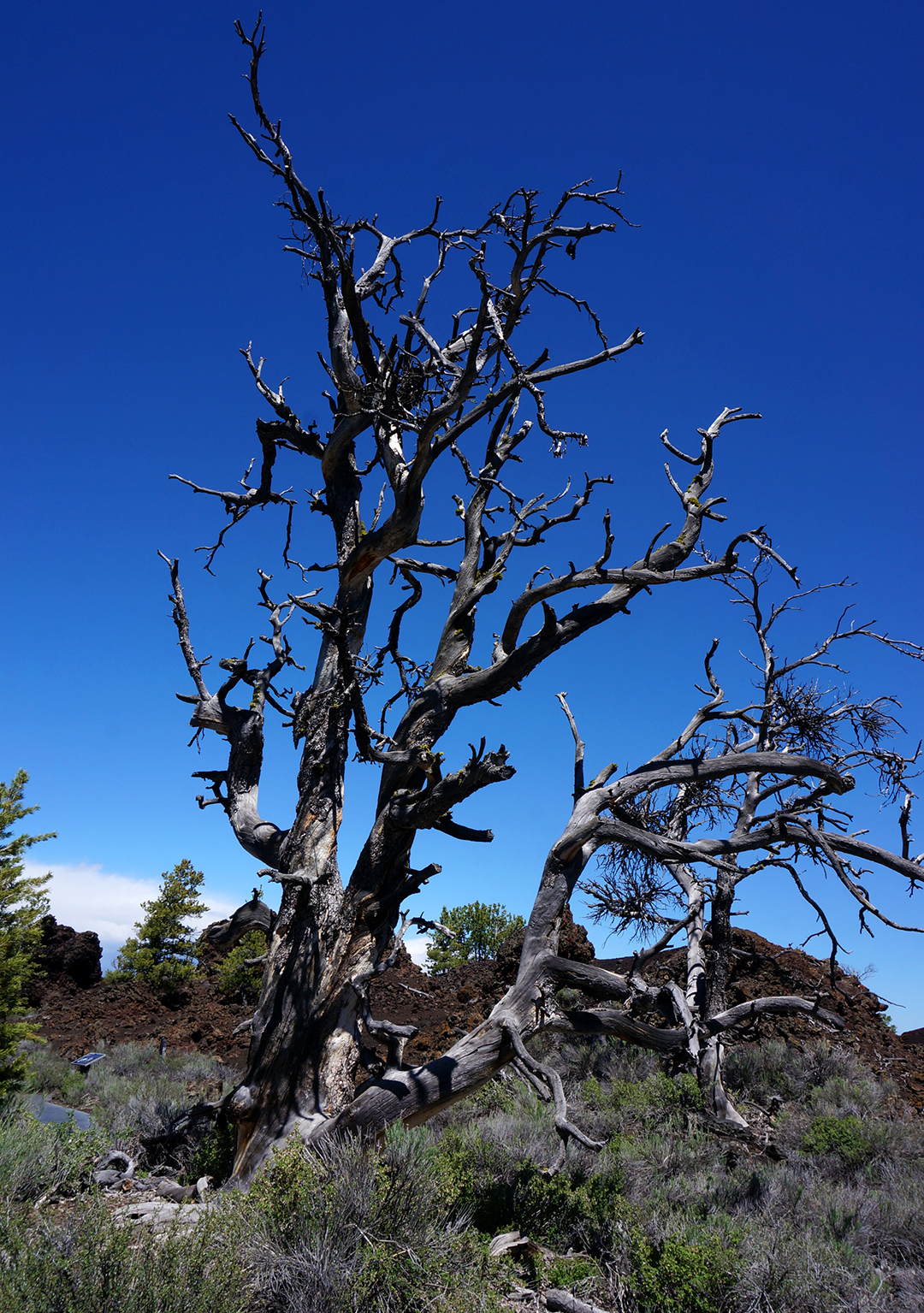
Got some cool pictures, though.
After recovering from the volcanic ash pelting, we moved on to check out the Spatter Cones, the “Old Faithful” of Craters of the Moon. It’s pretty obvious why: Old Faithful spews out hot water every 35-120 minutes, while the Spatter Cones spew out hot lava every… well, 500-3,000 years.
OK, maybe the comparison is a bit overblown. Still, the Spatter Cones were pretty neat, and frankly, this is one eruption we’re thankful not to have seen in person.
The final feature at Craters of the Moon were lava tube caves. We really wanted to explore them, but it required a little hike to get to the caves, and we had hit our limit of bone chilling wind and volcanic cinders raining down on us. The lava tube caves will have to wait for our next cross-country RV road trip.
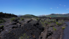
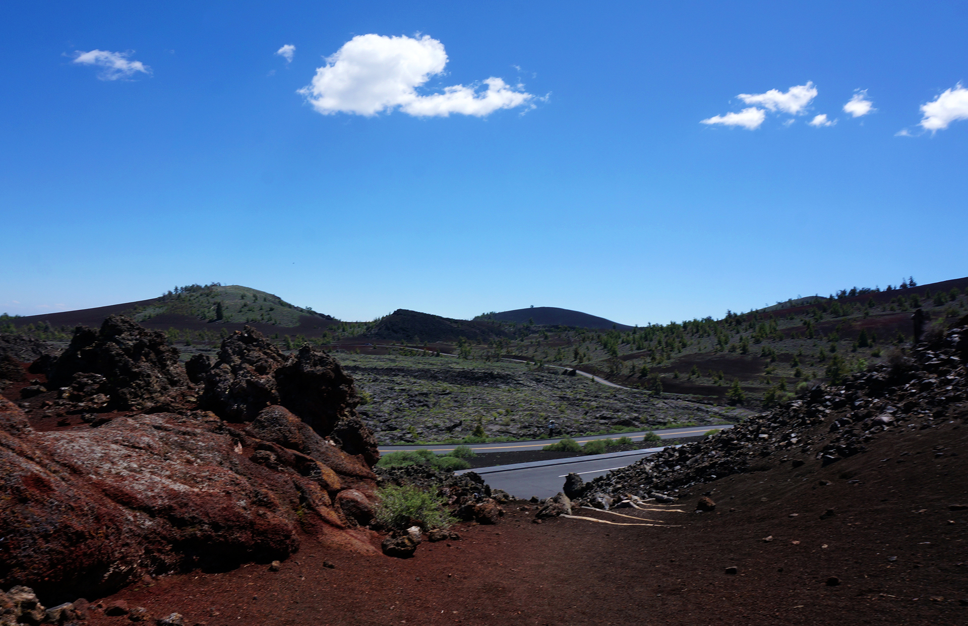
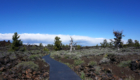
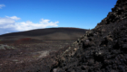
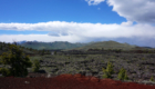
On our way out we snapped a few more pictures. Even the side of the road was cool.

Chekhov’s Interpretive Center
Whew! This was a long blog post. [Ed. note: Heather really loved Craters of the Moon and made that section approximately 800 times longer.] But hold on for one more second, because we’re about to tie this entire thing together with a bow.
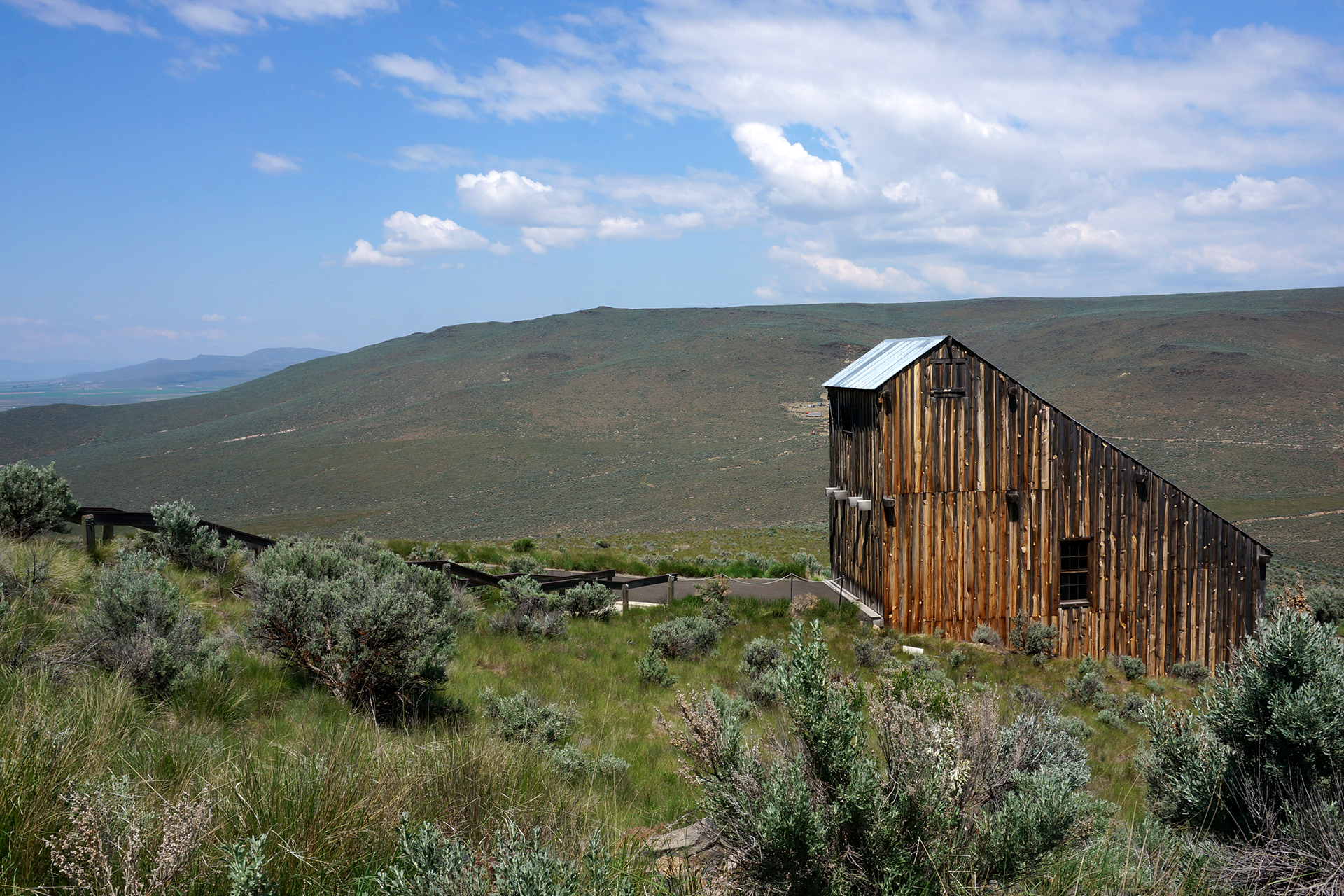
Remember how we started this post with the Oregon Trail? Well, just outside of Craters of the Moon is a rather pretty area known as Goodale’s Cutoff.

Pioneers on the Oregon Trail used Goodale’s Cutoff, an alternate route along the trail, to skirt the lava flows and avoid potential Shoshone Indian attacks along the Snake River. The Cutoff paralleled the Oregon Trail for some distance, before rejoining it in… Baker City, home of the Oregon Trail Interpretive Center!
And so, just like the moon’s orbit, we have come full circle.
Roadtrip Status
Still alive? Check.
Where are you now? Indiana Dunes State Park, near Chicago, seeing lots of old friends.
Next location? Still TBD.
Follow Us On Social Media
![]()
![]()
![]()
![]()
![]()
![]()


