Week 38: San Franciscan Days

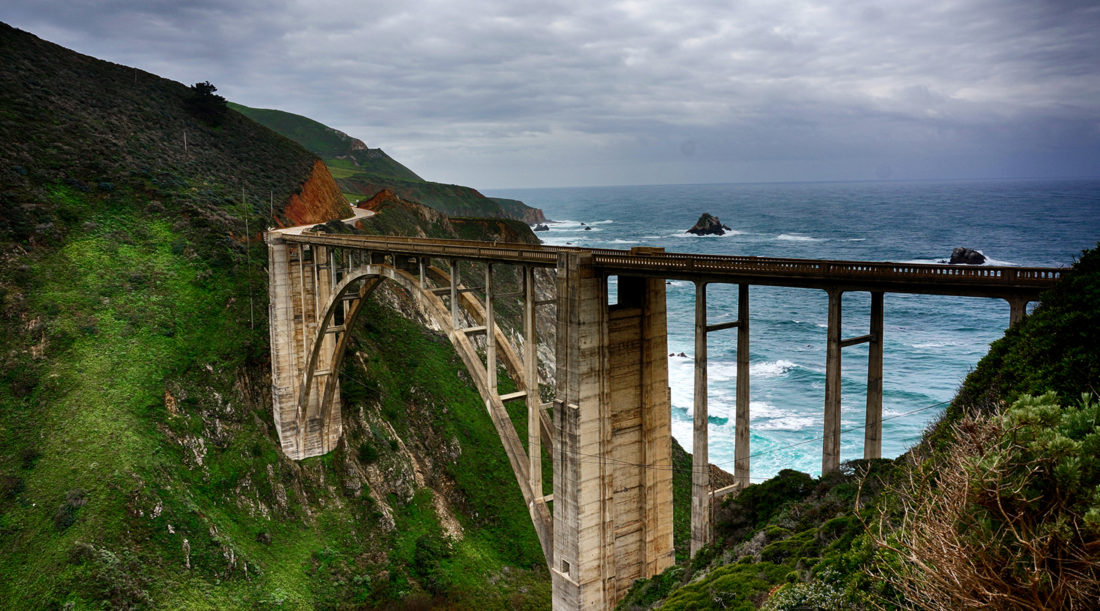
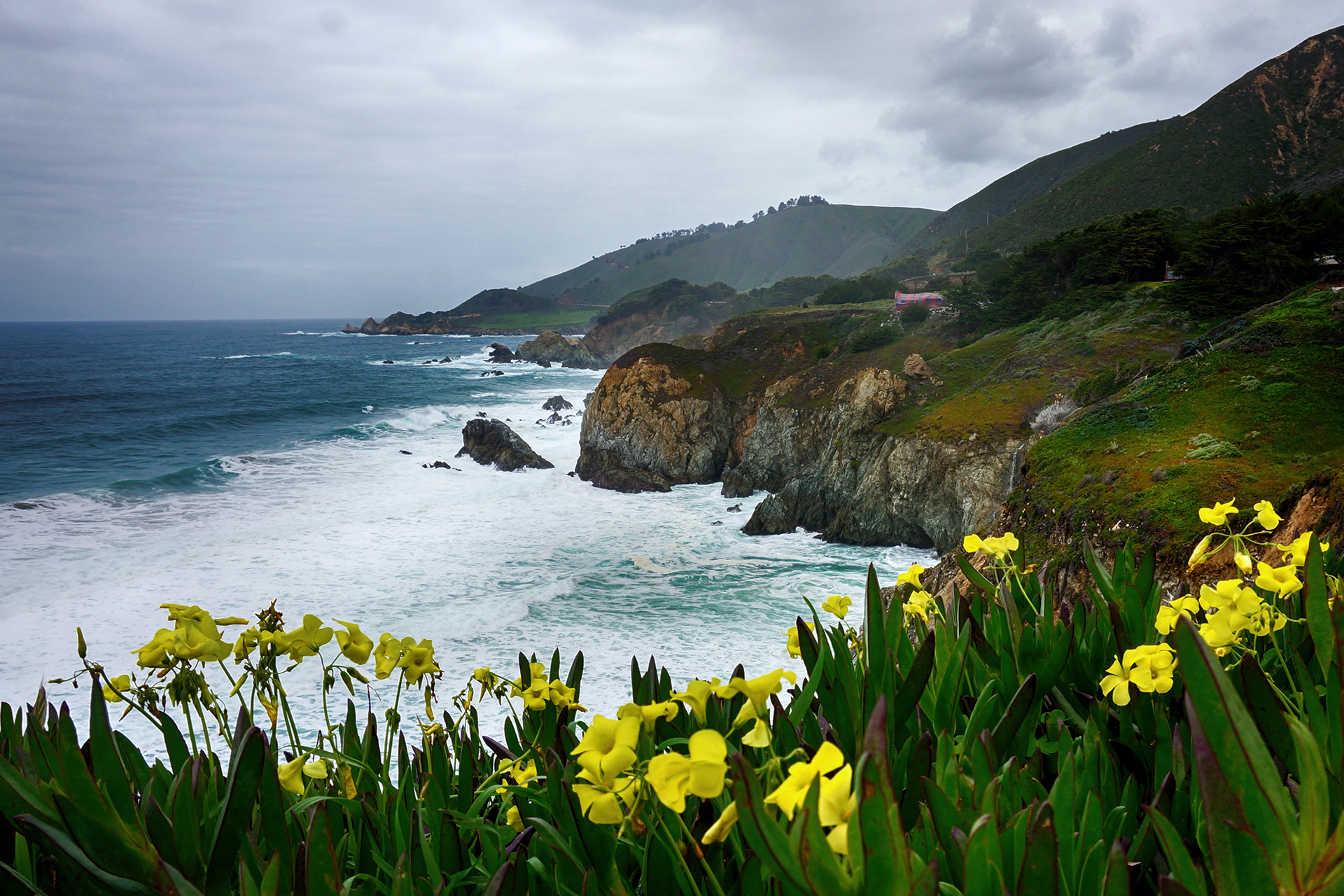
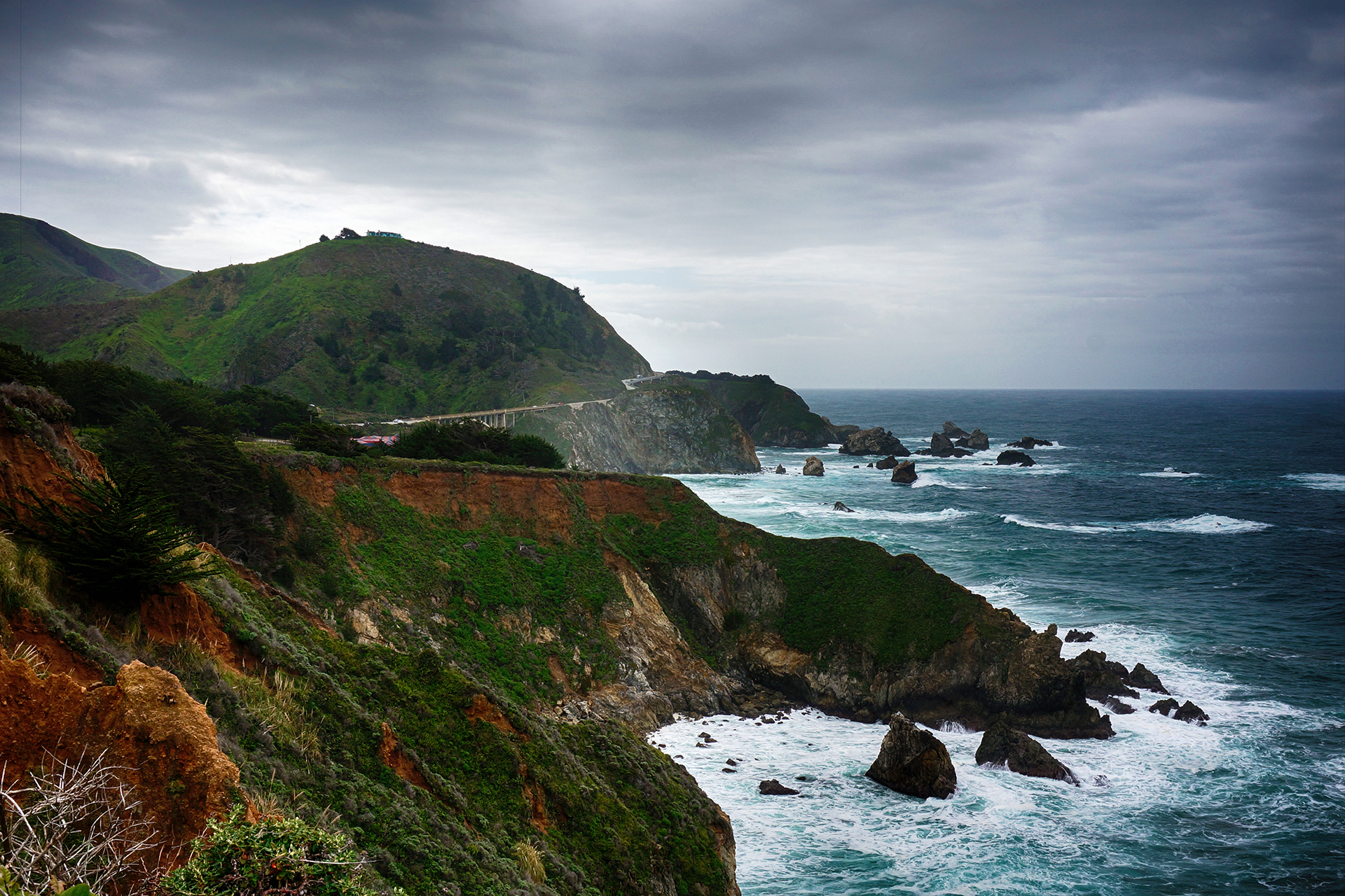
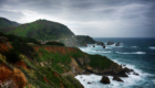
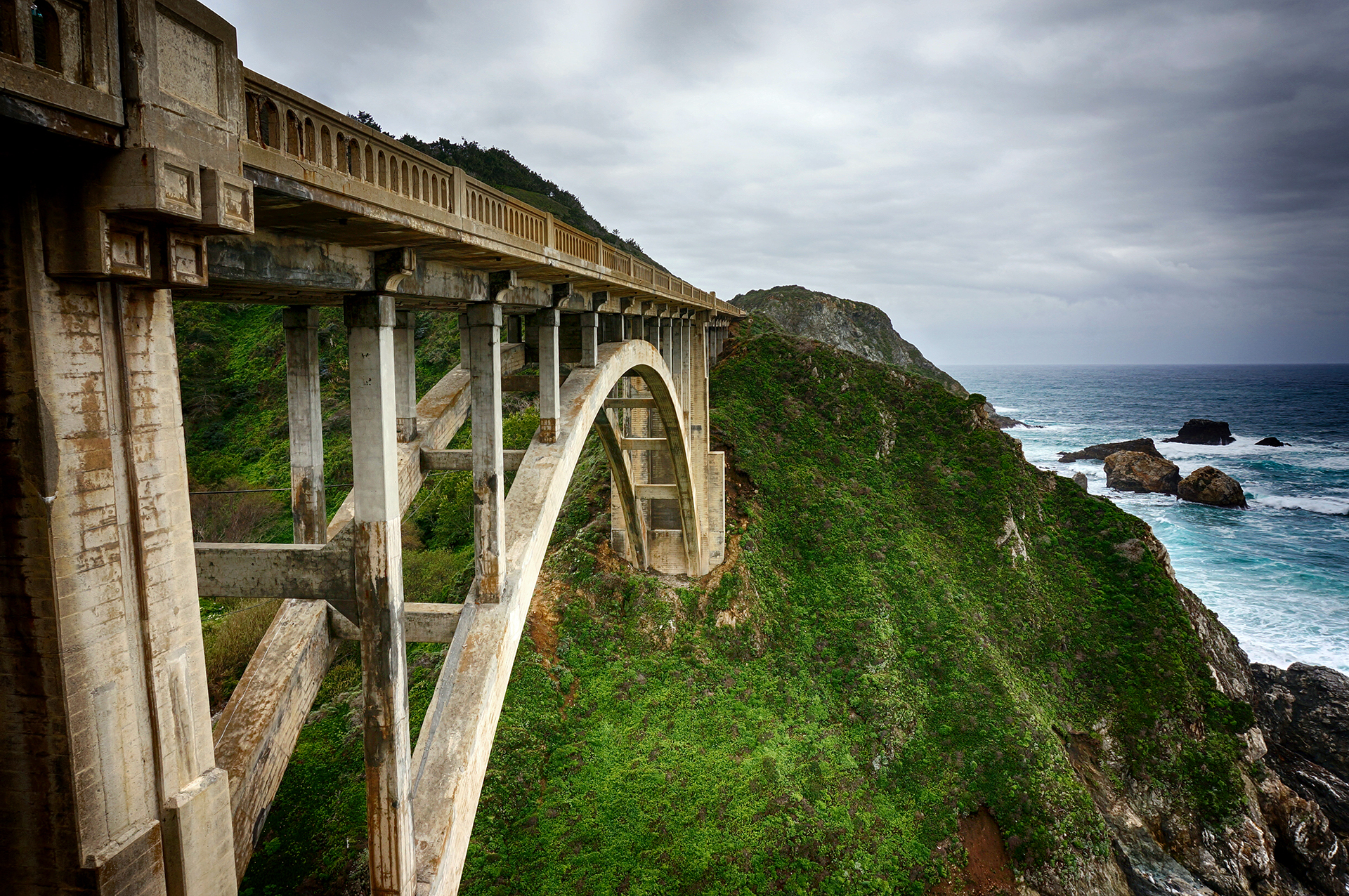
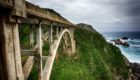
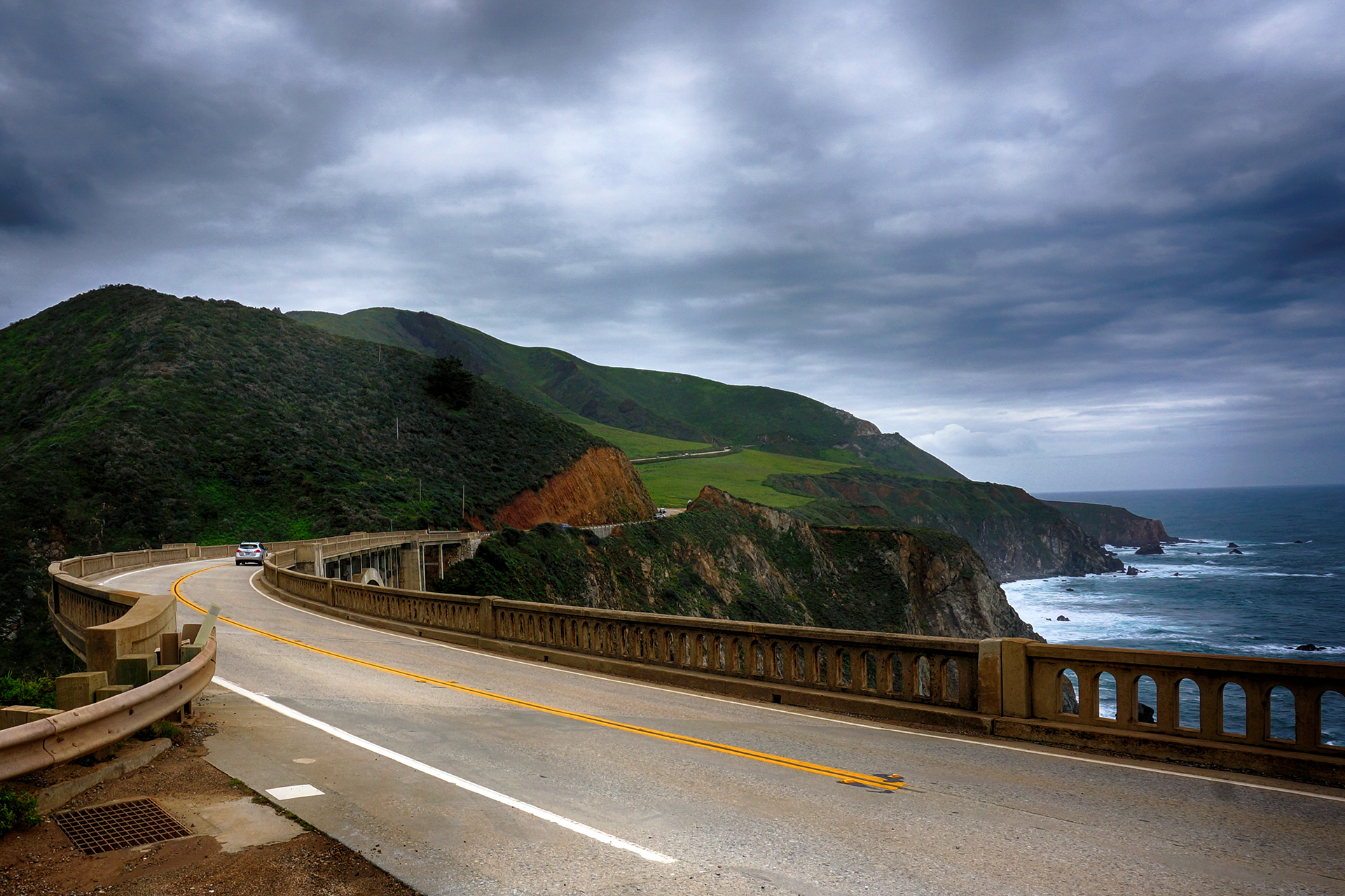
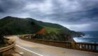
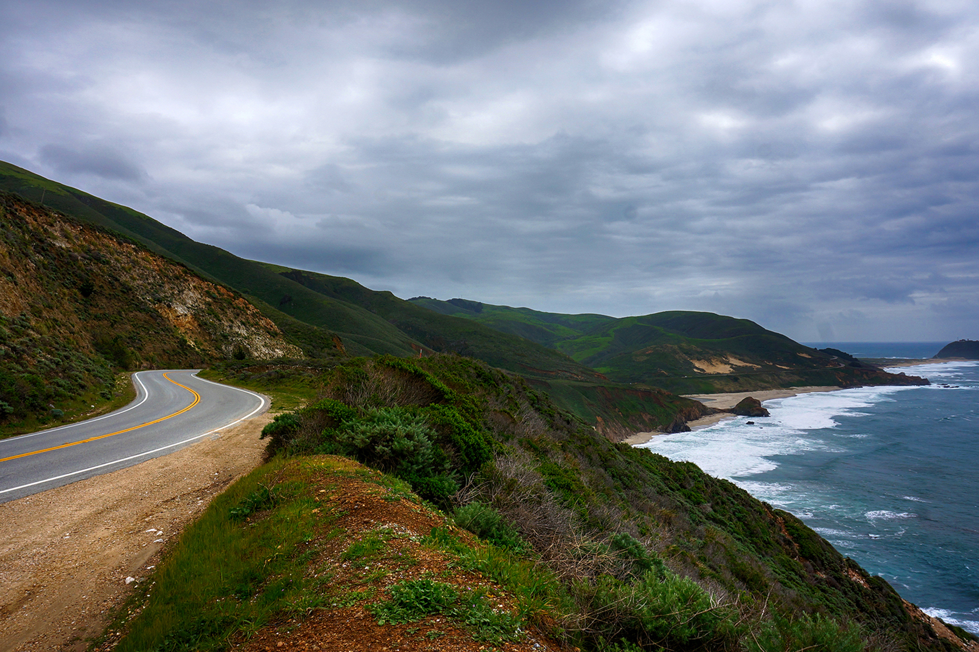
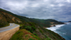
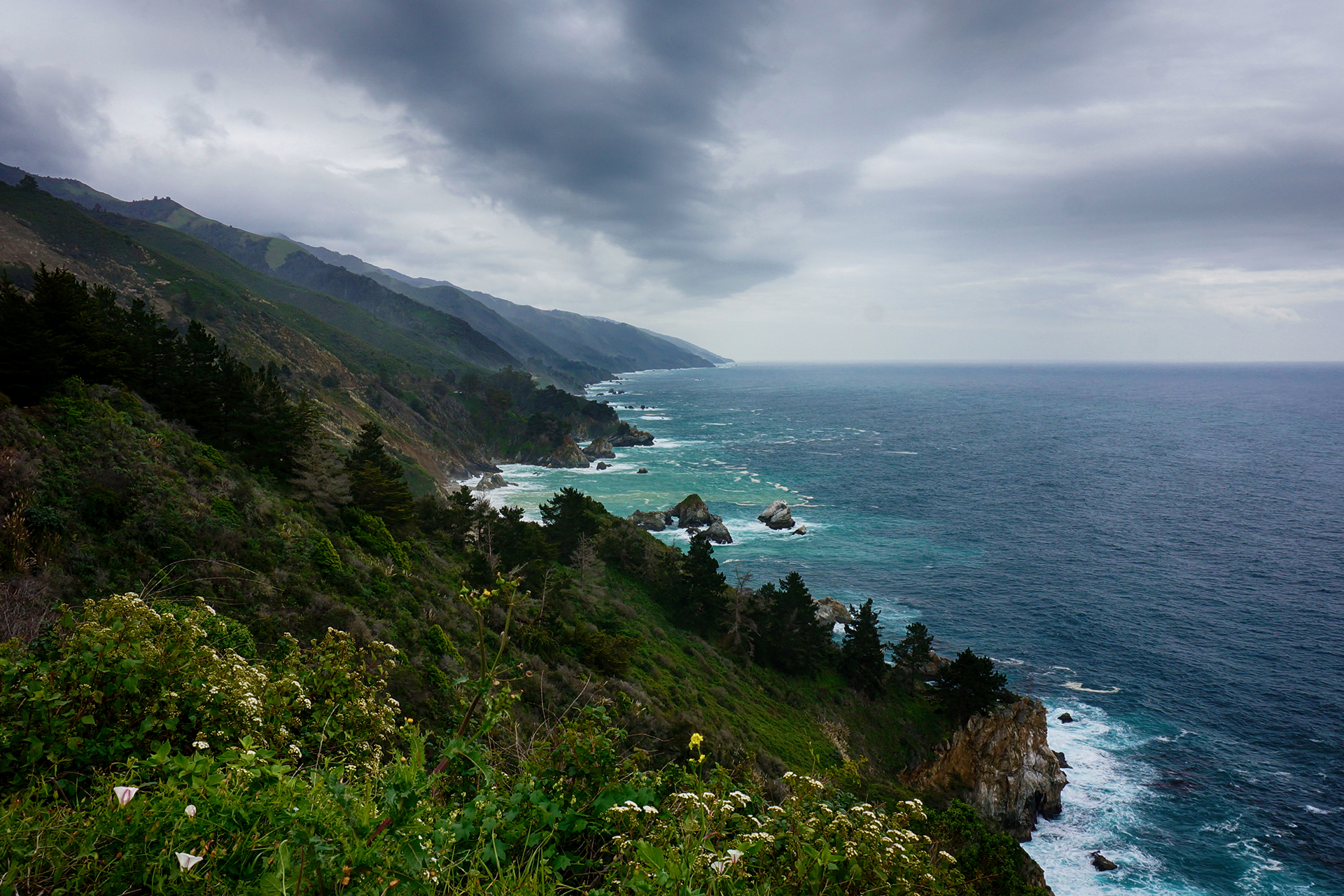
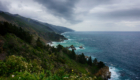
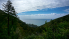
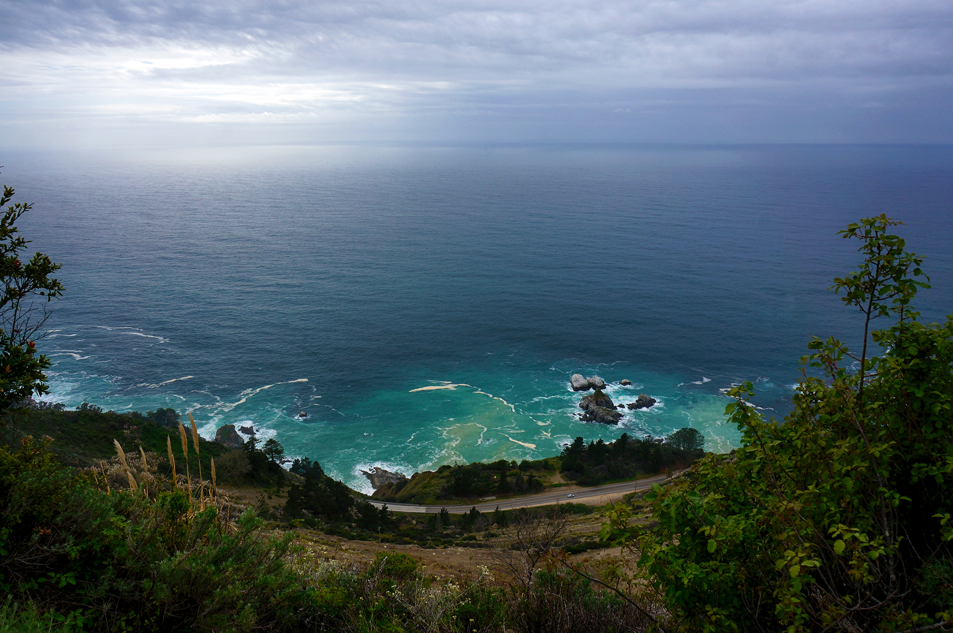
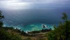
After a sodden weekend in Monterey and Big Sur, we headed further up the California coast to San Francisco and the Bay Area.  Neither of us had been to San Francisco before, but we both loved it.

Foreshadowing!

Power Trip

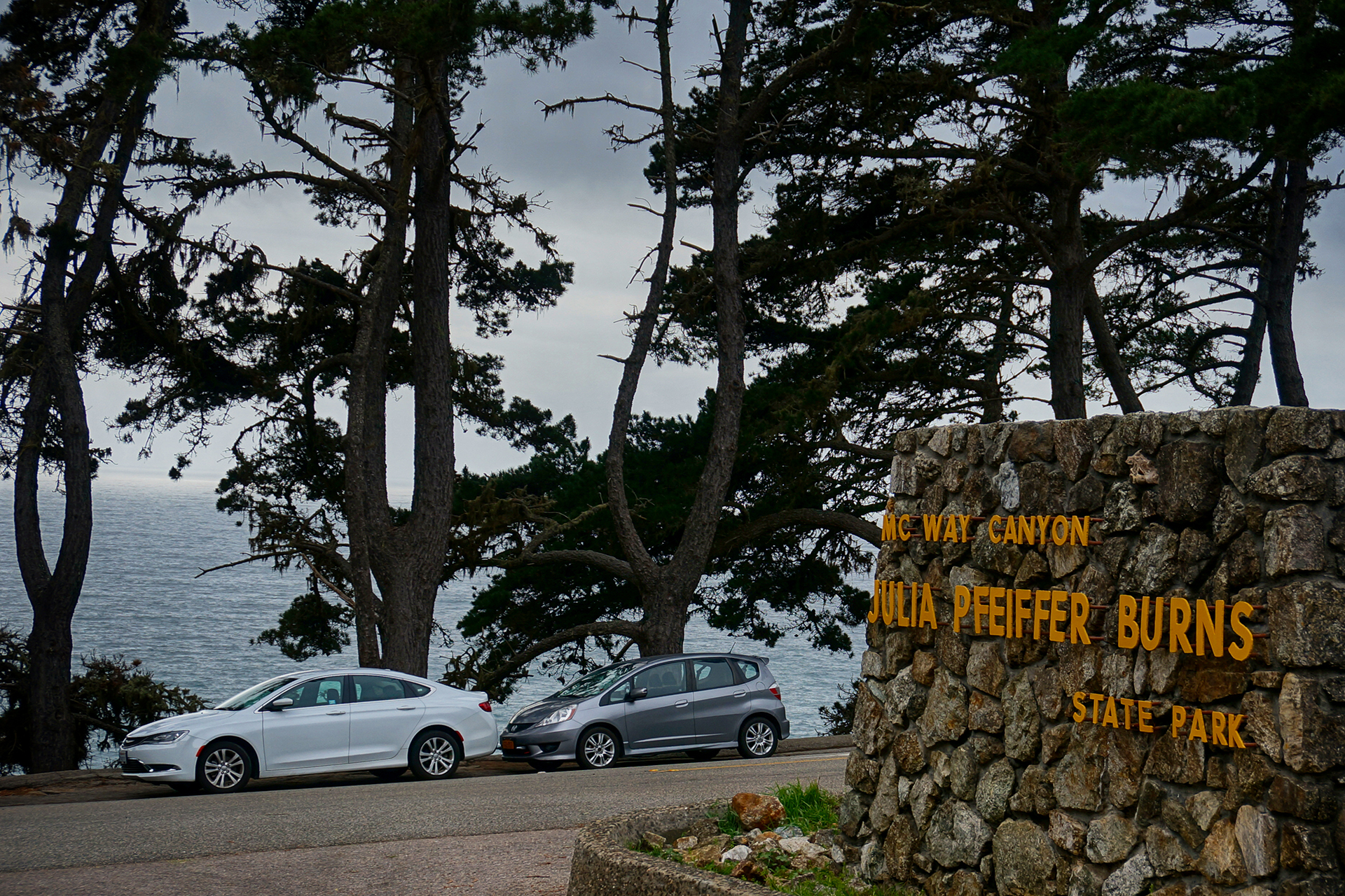
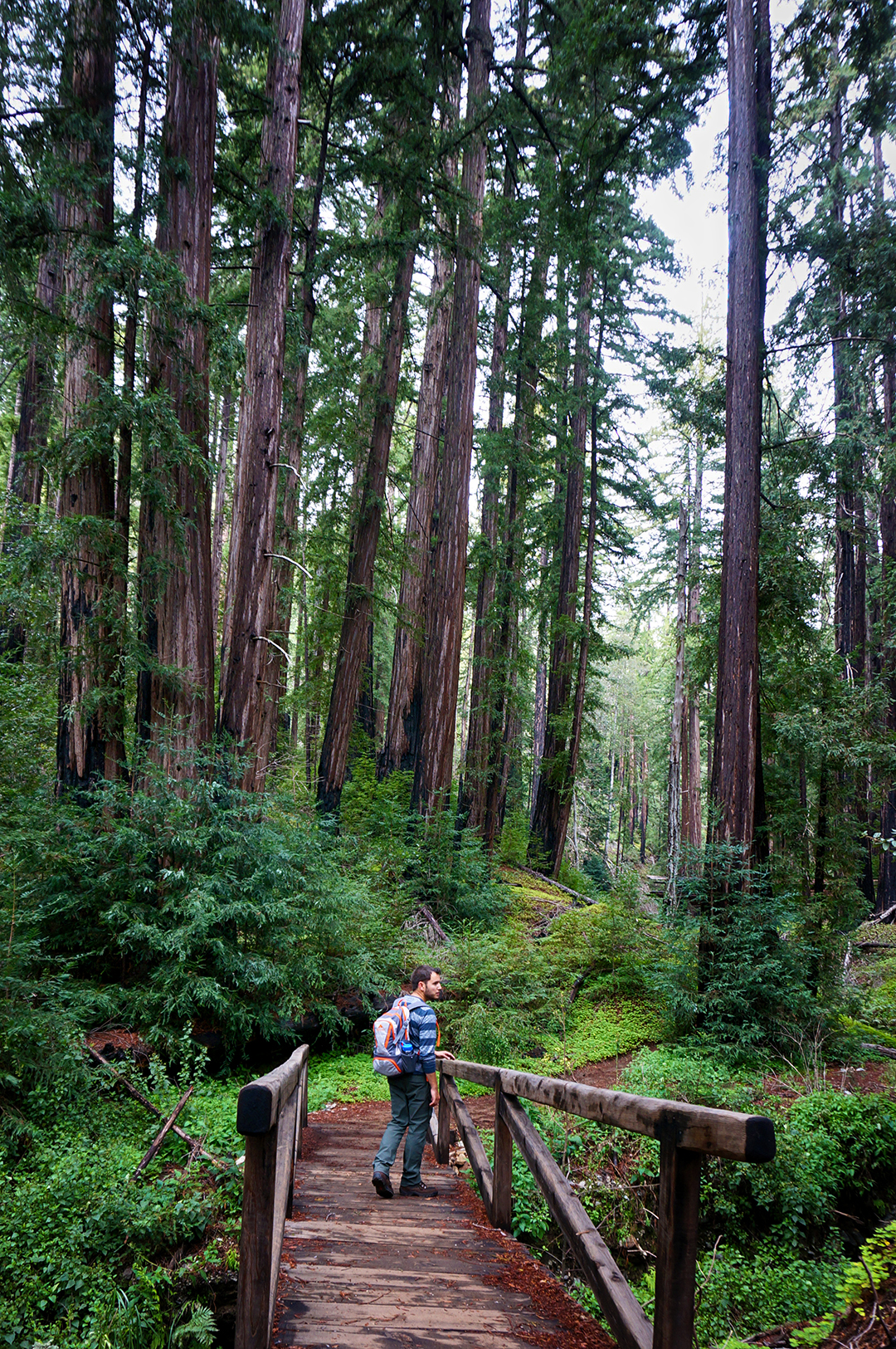
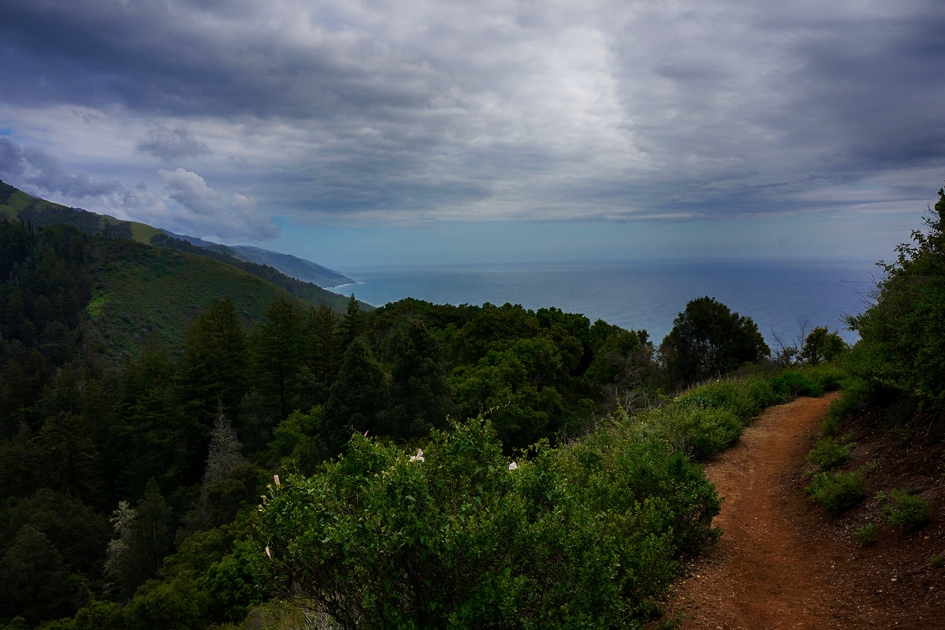
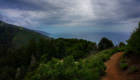
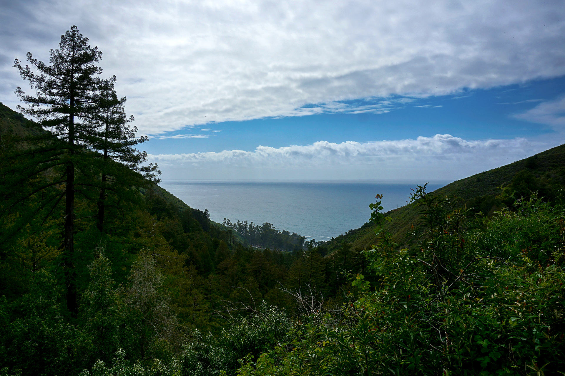
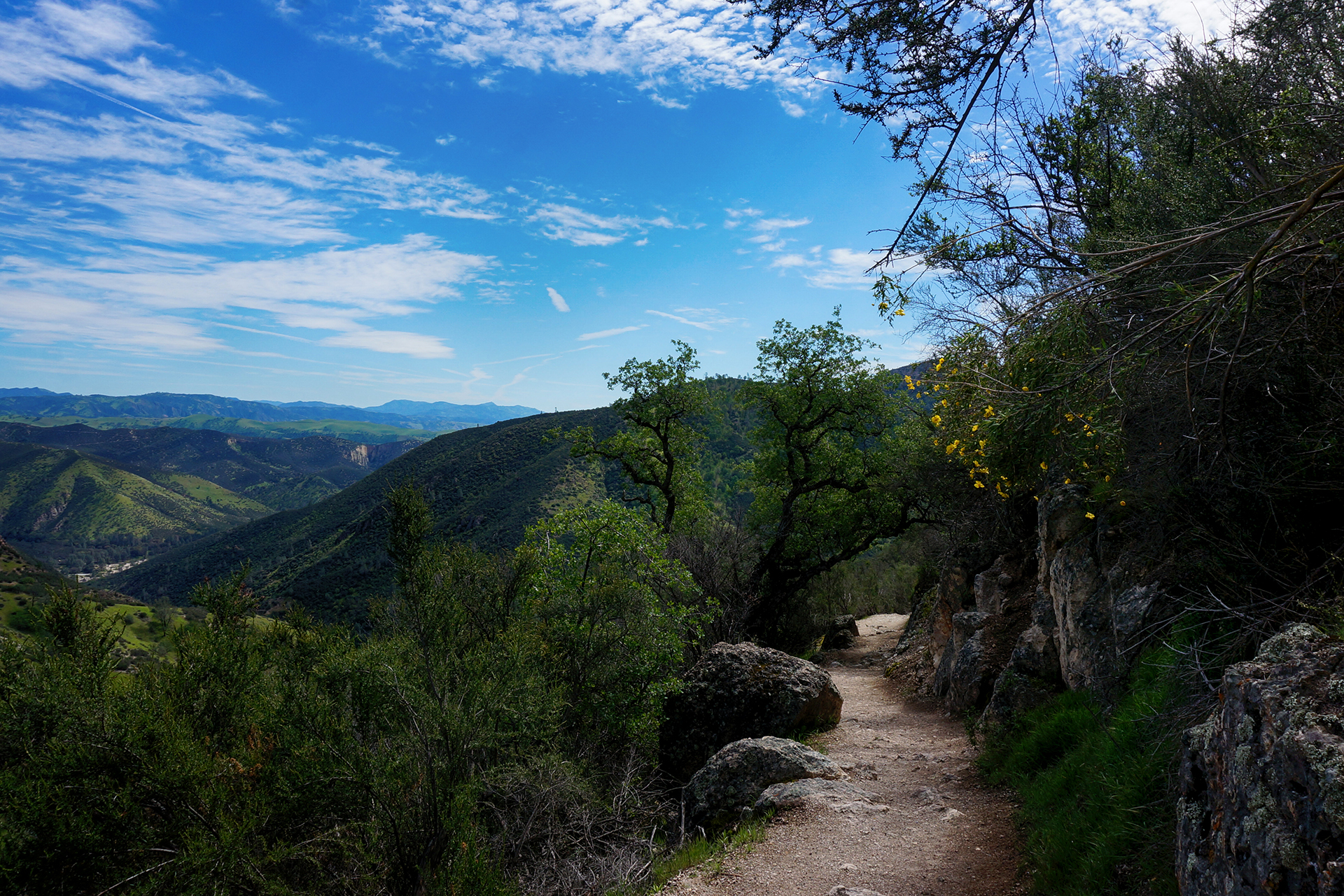
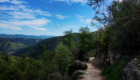
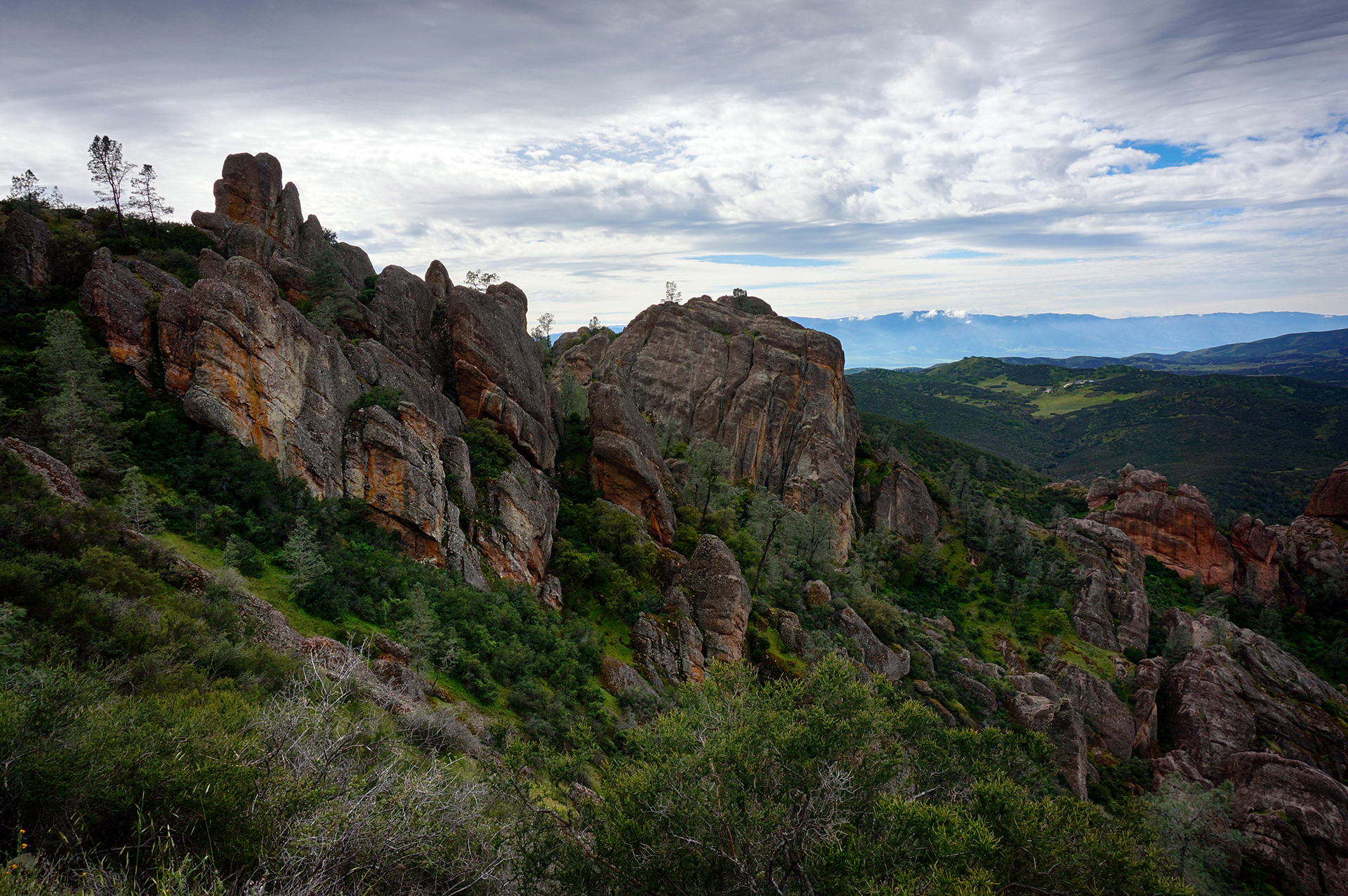
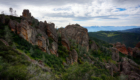
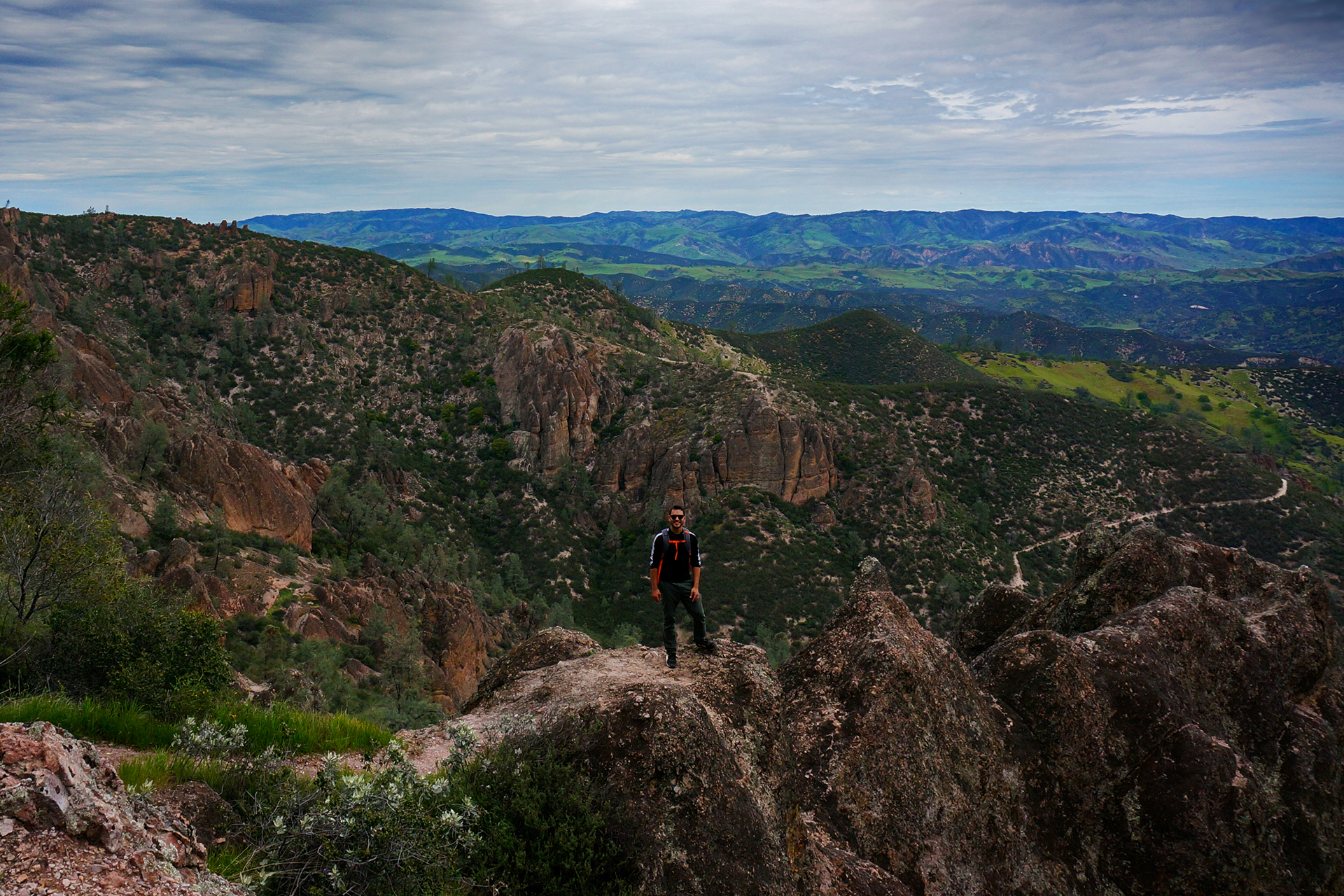
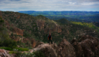
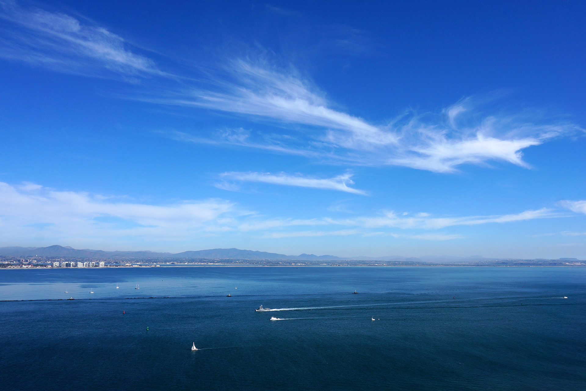
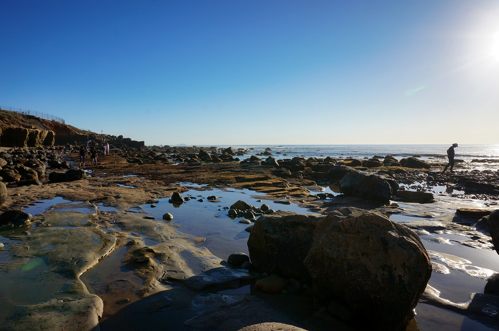
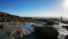
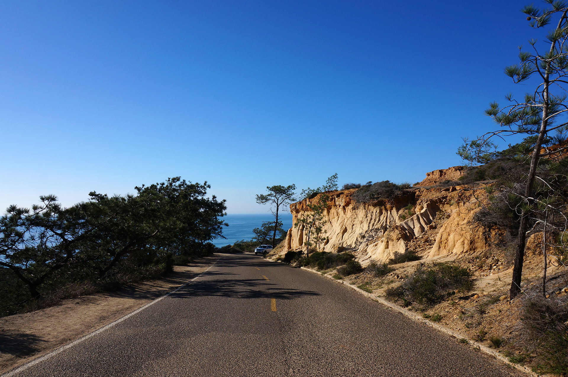
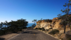
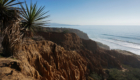
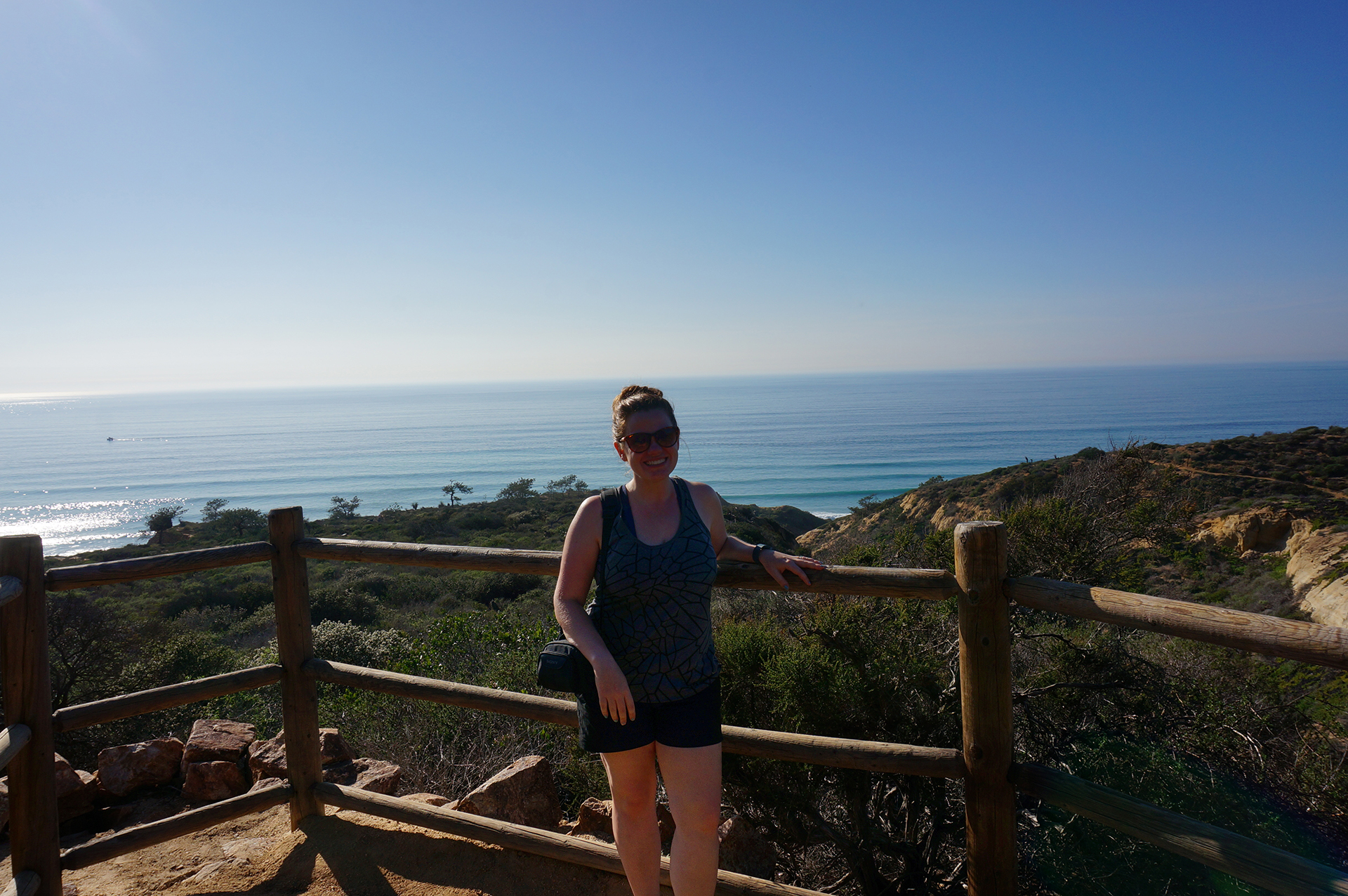
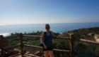
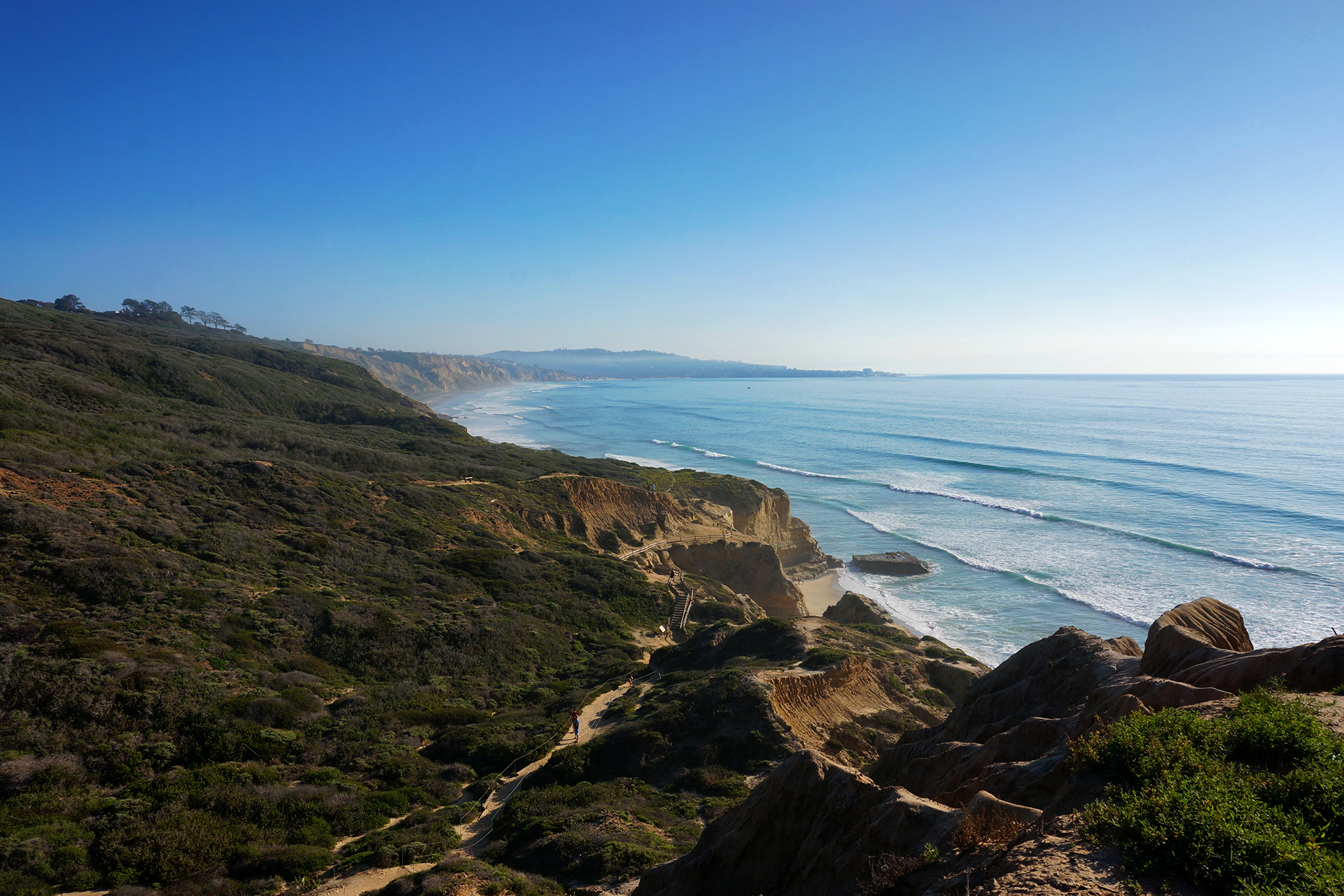
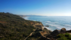
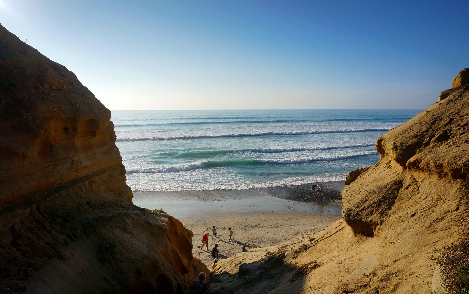
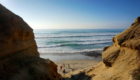
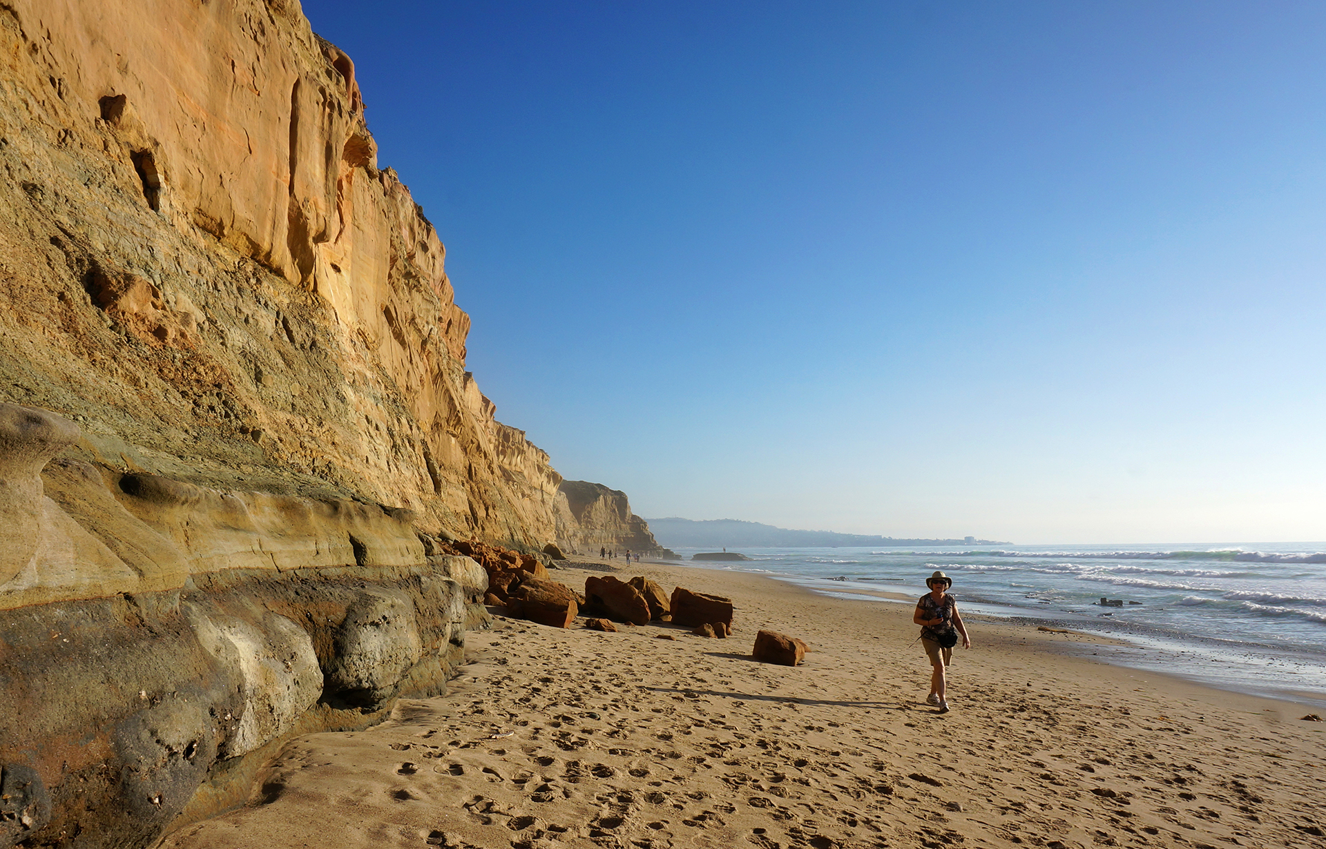
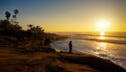
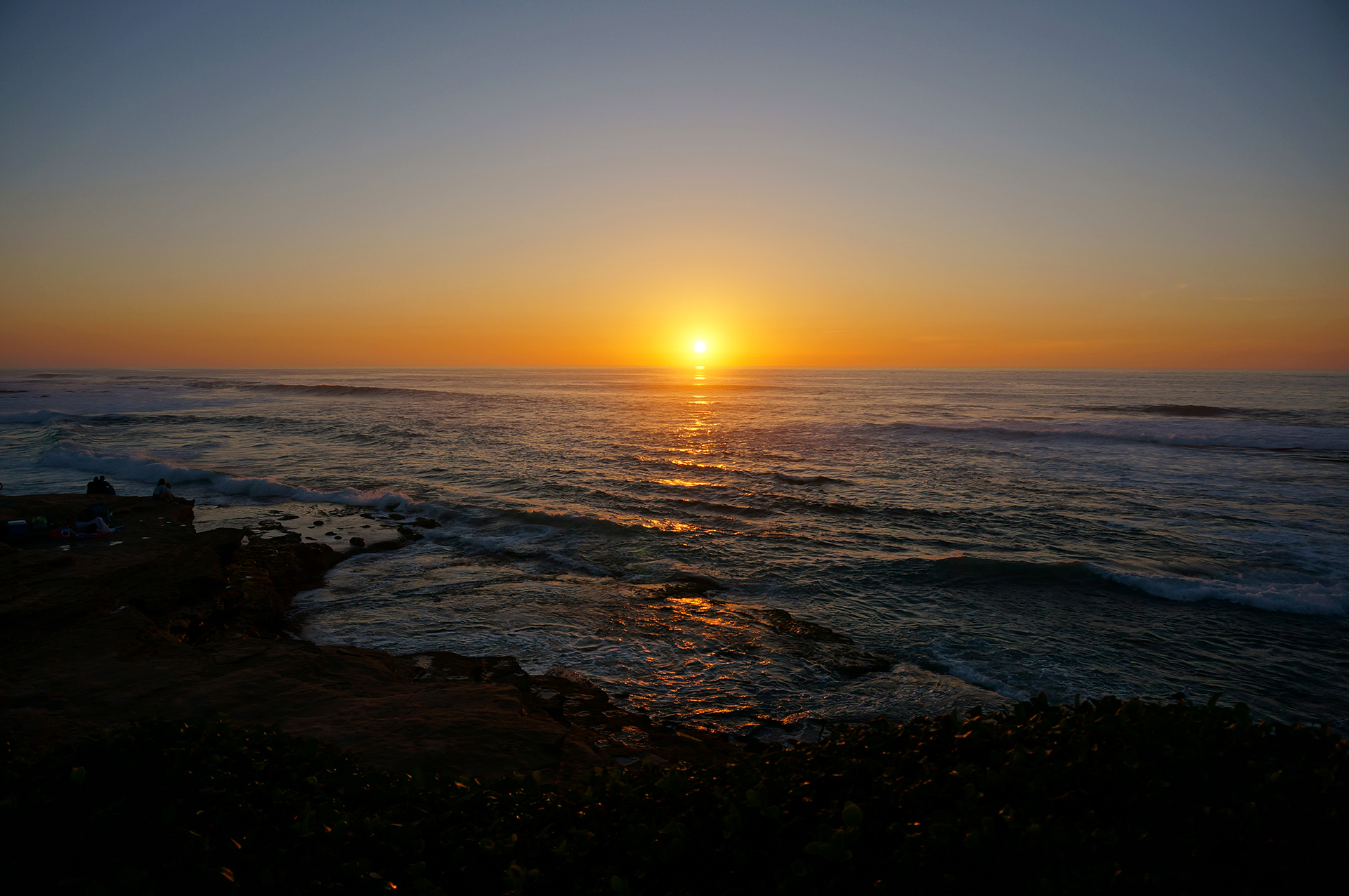
Before we got to visit the city, we had some RVing issues to deal with.  The first issue was finding a place to stay: as you might expect, San Francisco is not the easiest city to find close, comfortable, and inexpensive RV parking.  We did end up finding a campground that was cheap, comfortable, and close to San Francisco “as the crow flies,” but it turned out that getting there “as the RV drives” required a half-hour detour around a mountain range.  D’oh!  At least the drive was pretty, as was the campground.

The second issue was an electrical problem in our RV.  Every time we plugged our power cord into the brand-new power pedestal* at our campground, the pedestal’s circuit breaker tripped, so we couldn’t get any electricity in our motorhome.   A friendly mobile RV service technician came out and, unbuttoned pants barely hanging on his body, diagnosed our problem: an incredibly tiny fault in our electrical ground wire.  It was so small that only this brand-new power pedestal could detect it; we have stayed at dozens of other campgrounds without a problem.

The technician wasn’t able to fix the problem on-site, so he just disconnected the ground wire completely – and warned us not to use our toaster in the shower this week.  That did the trick, and we had sweet, sweet electricity again.  Maybe a little unsafe, but we re-wired everything when we left (and then fixed it for real later on).

Back in action!  Time to explore San Francisco.

* A power pedestal is basically a shielded box full of outlets that the campground provides for your parking space. 

Day Trip

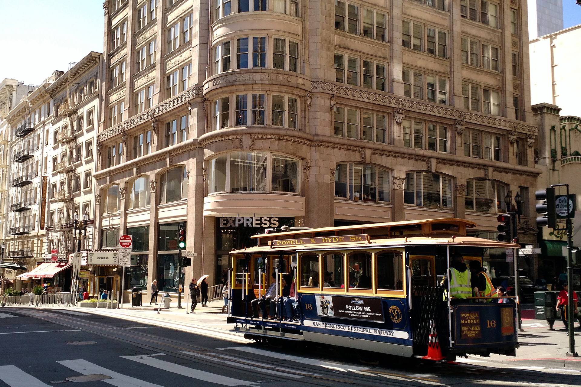
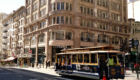
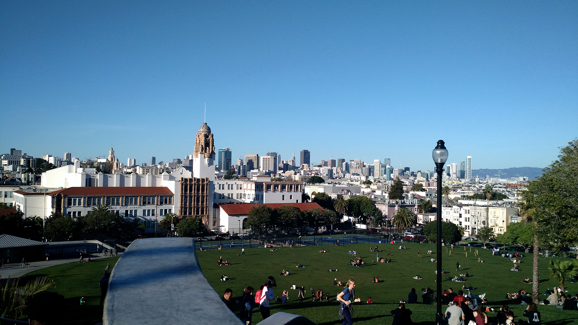
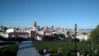
After months dealing with the endless traffic in California, we were excited to visit a city with public transit.  We left our car behind and took the BART train in, spending the entire day walking and bus-hopping in a big loop through San Francisco.  It was glorious.

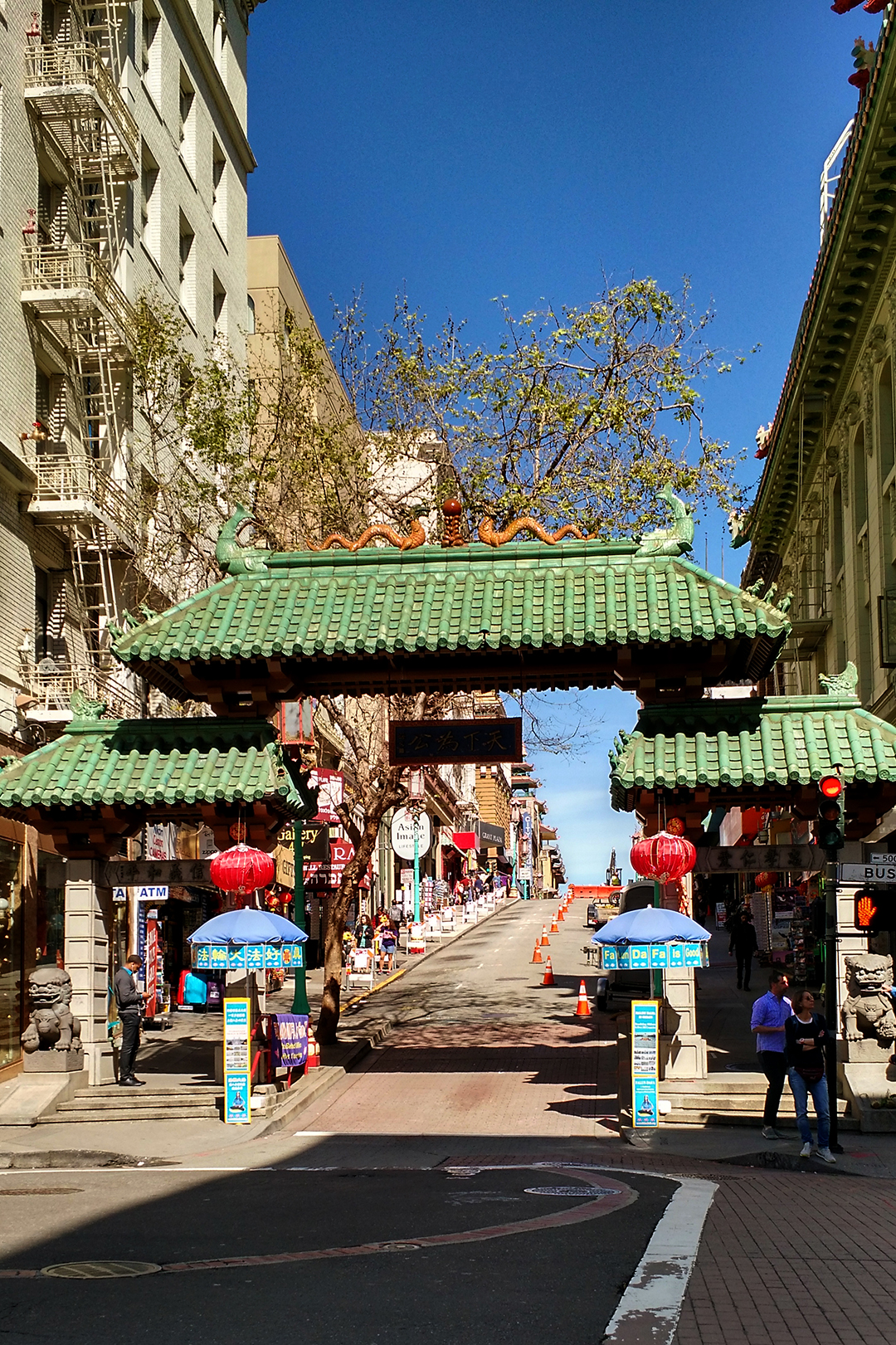
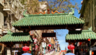
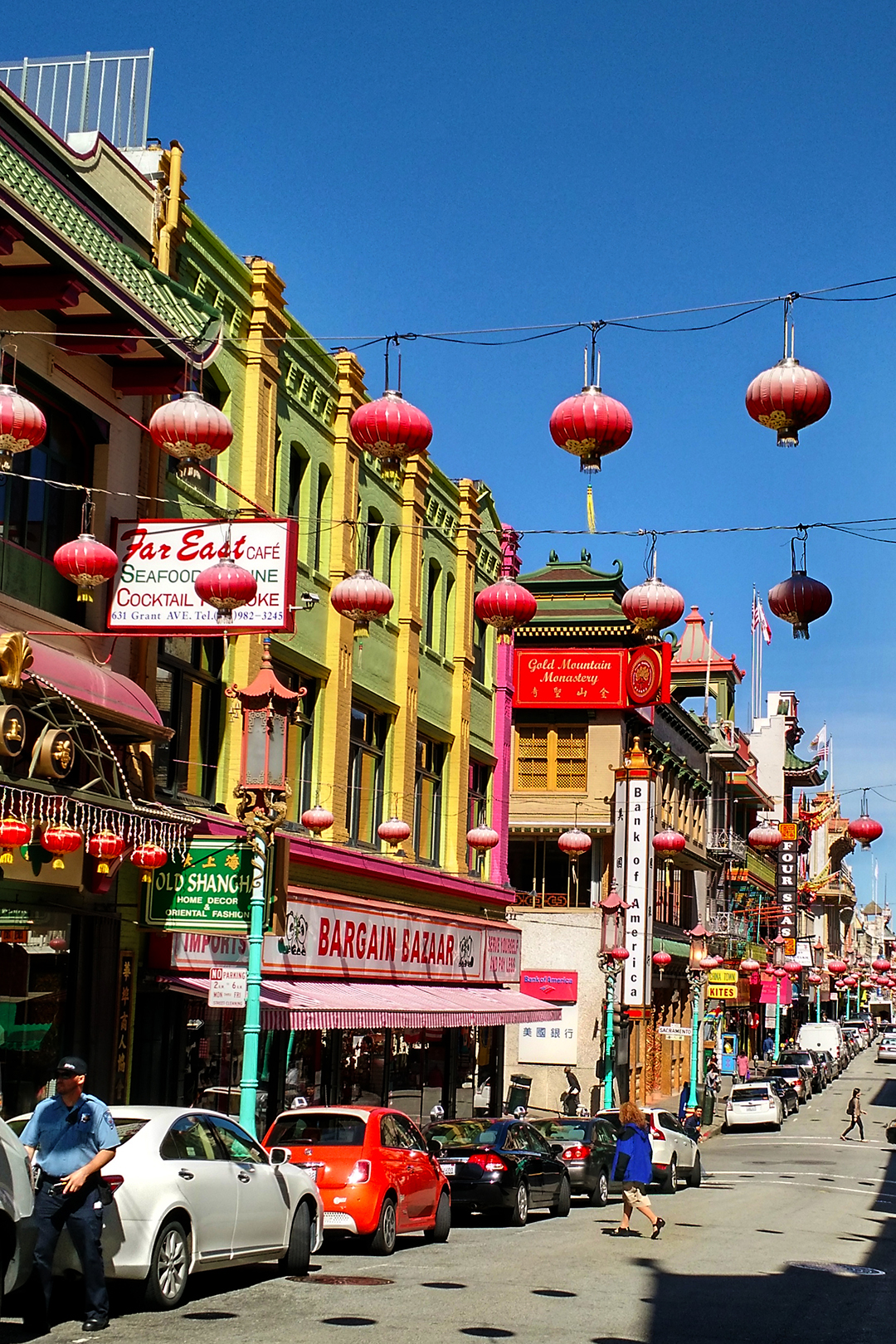
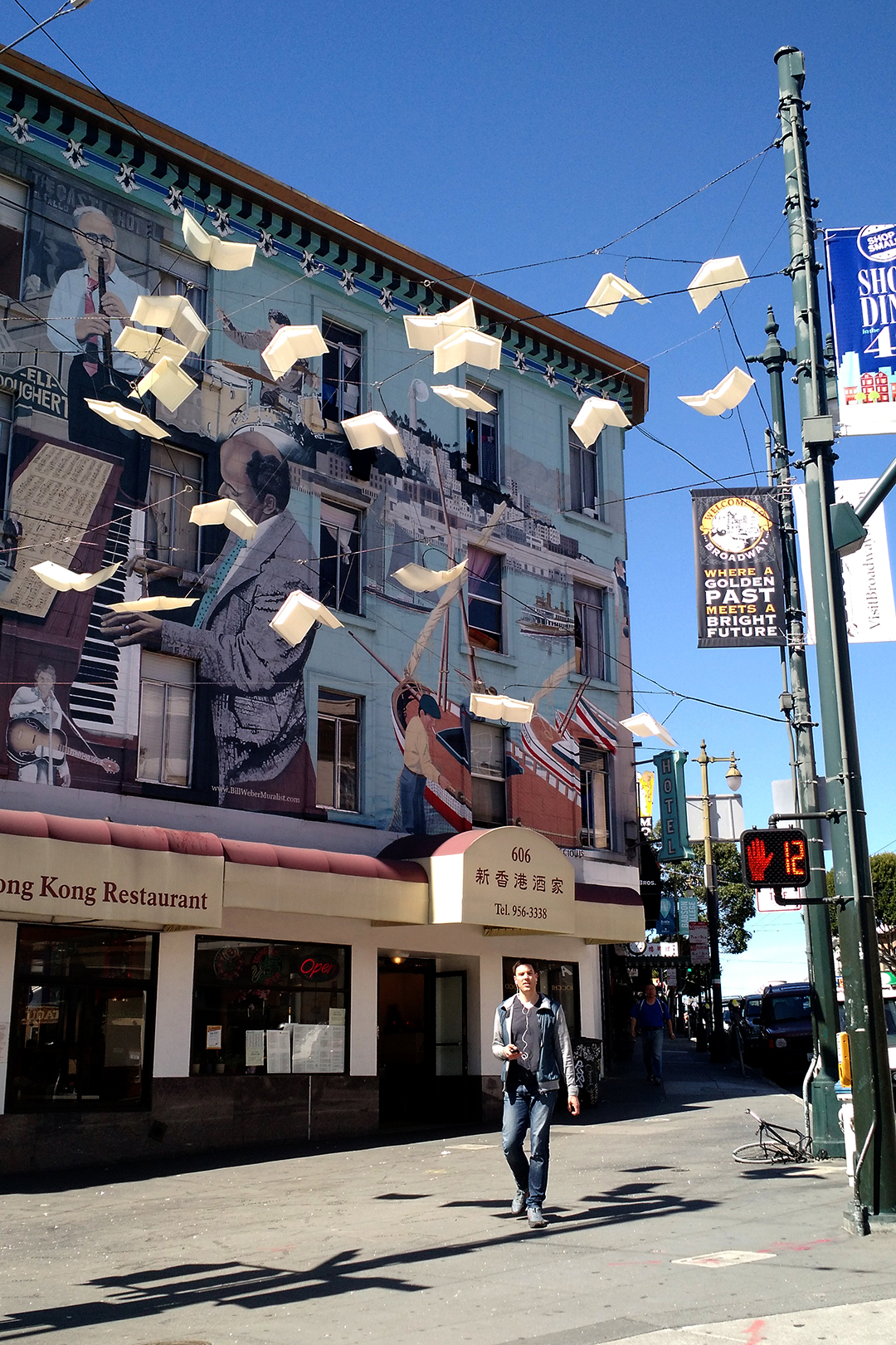
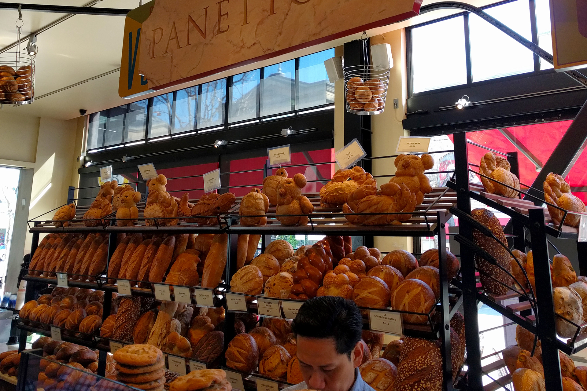
Here’s the details, for the interested.  We started out by grabbing some Blue Bottle iced coffee and walking to Union Square, then on through the dragon gate to Chinatown.  Quality ethnic restaurants are often in short supply on our trip, so we binged on some dim sum (yum) before working it off with a walk up to the famous Lombard Street.

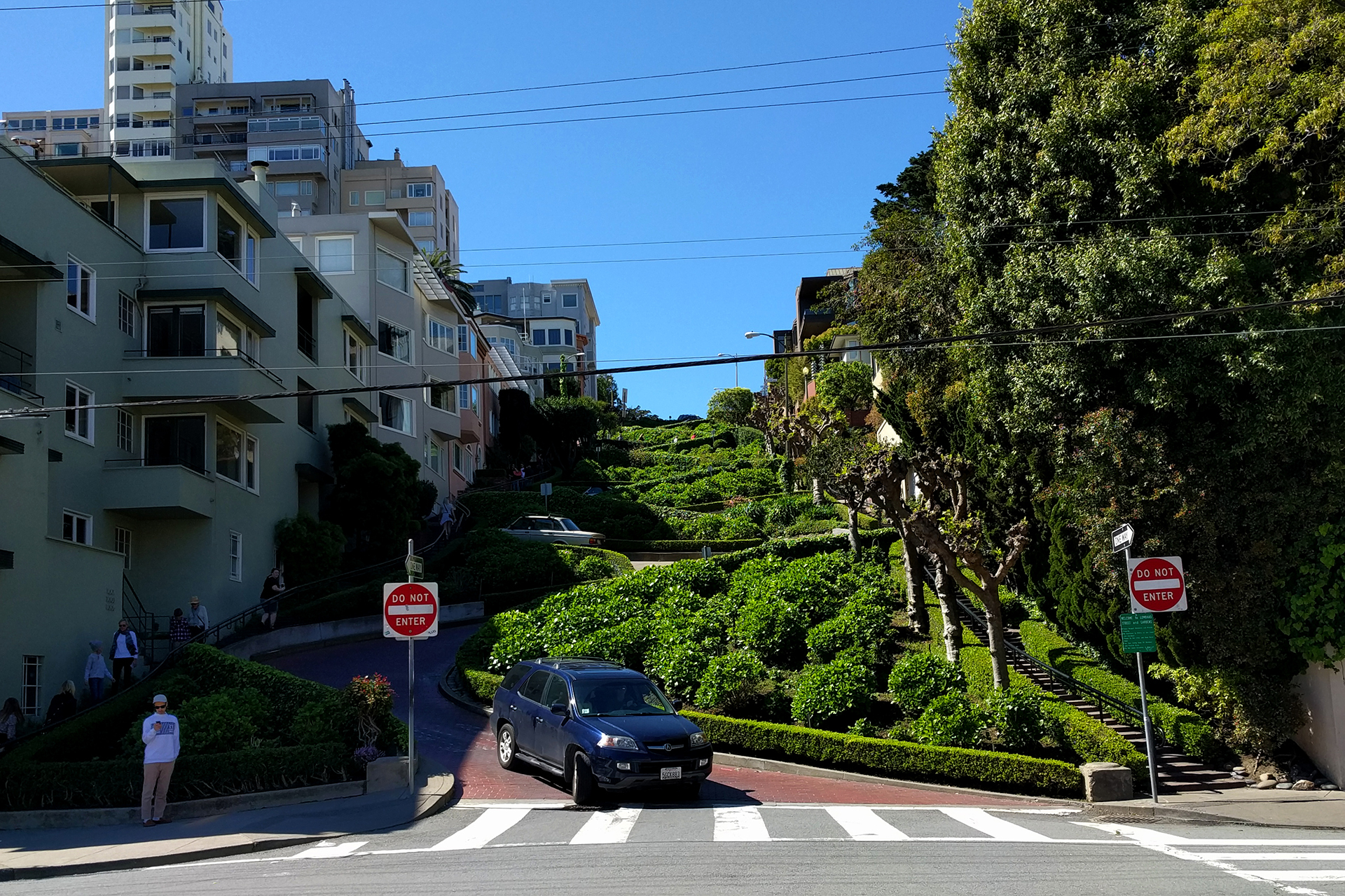
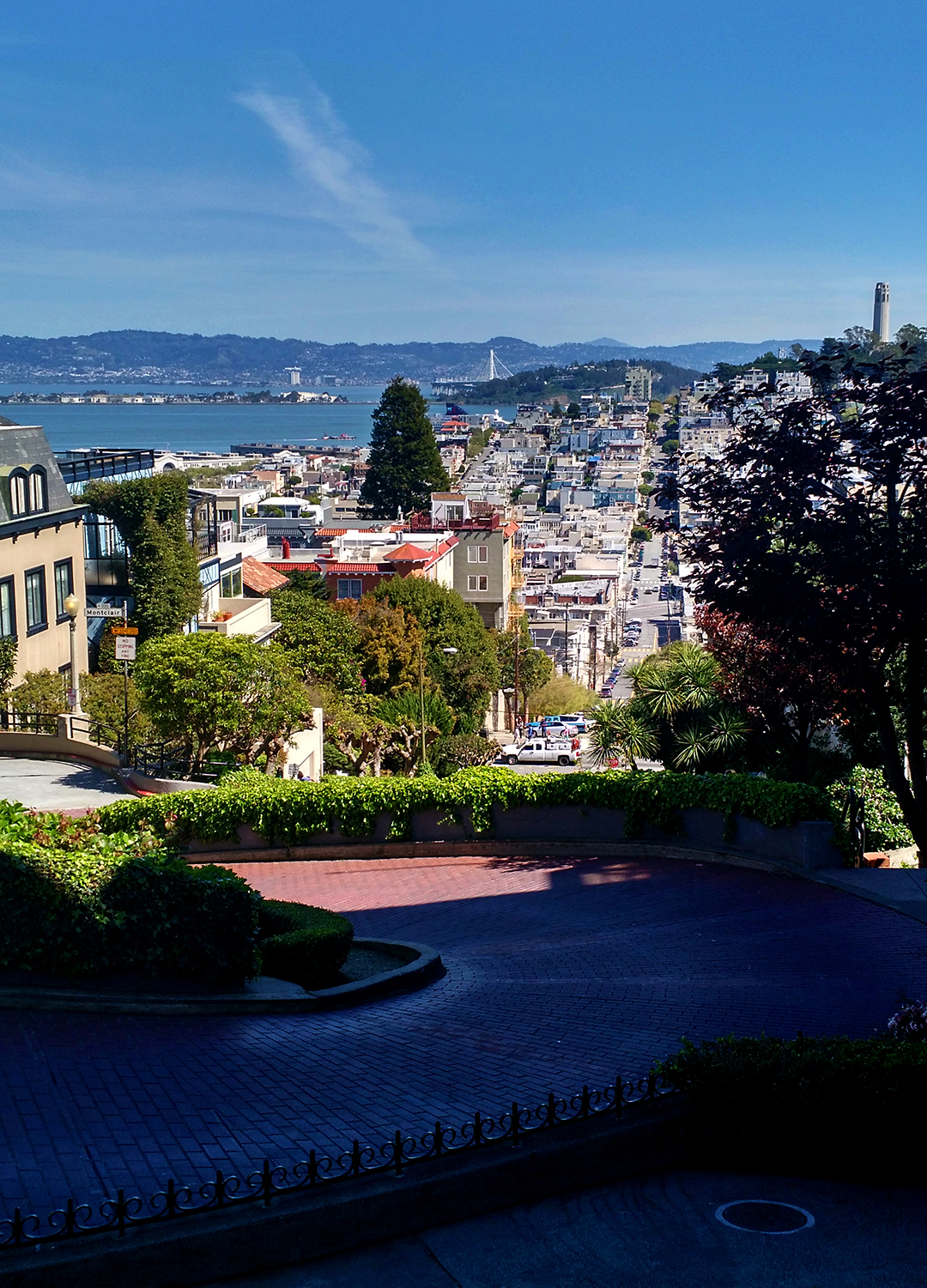
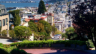
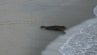
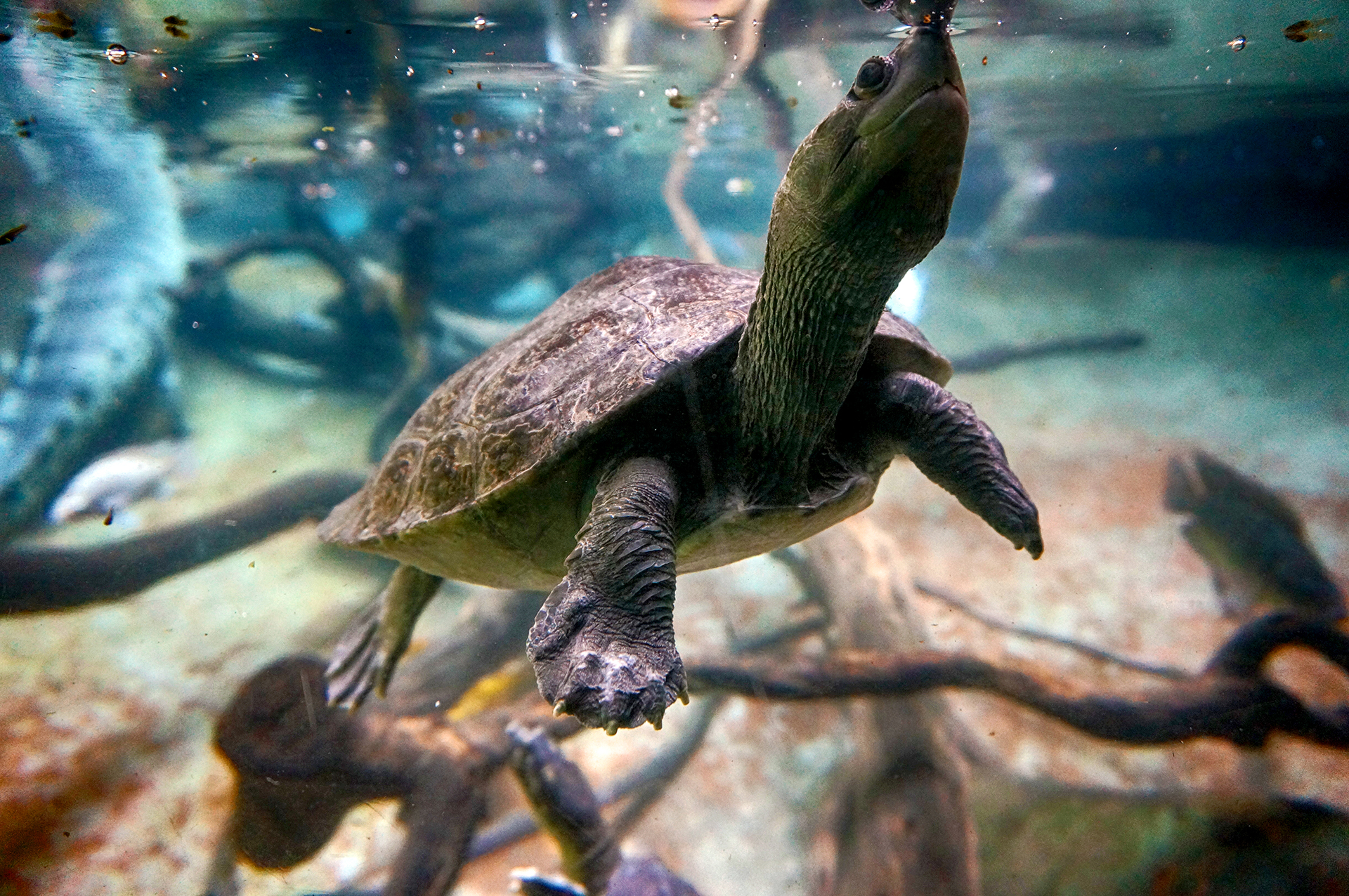
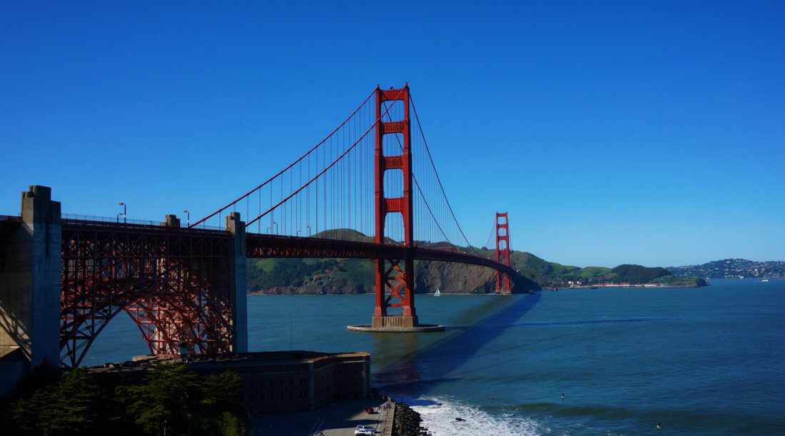
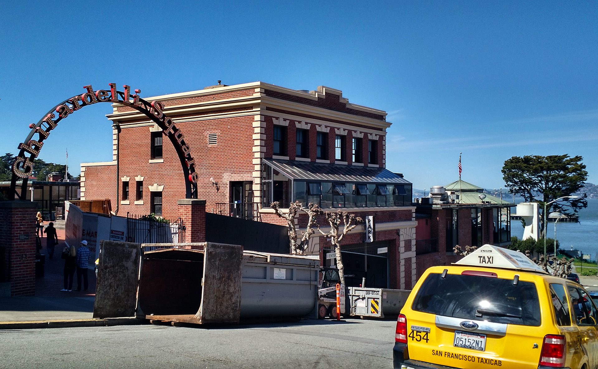
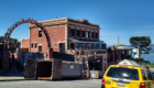
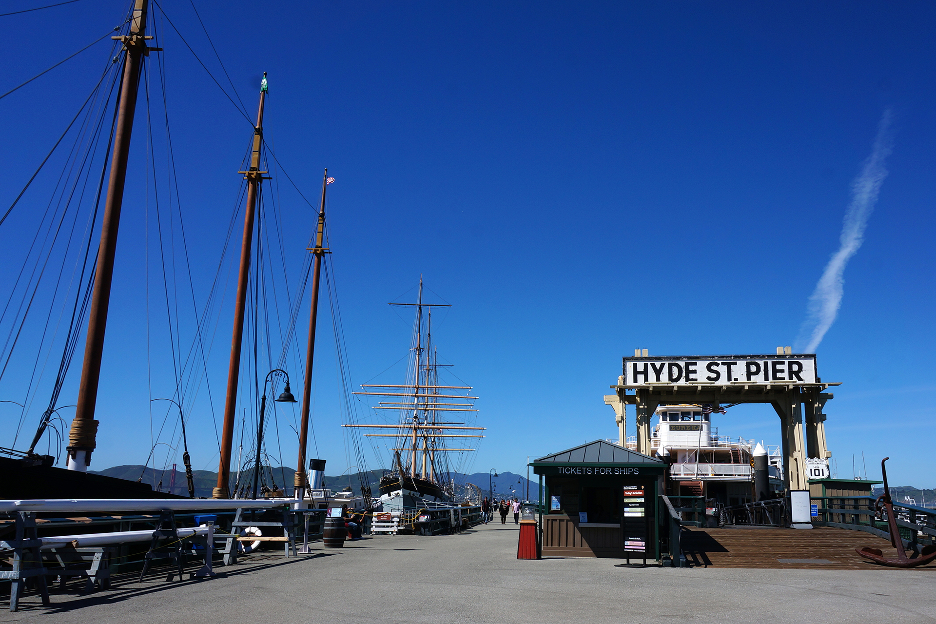
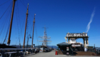
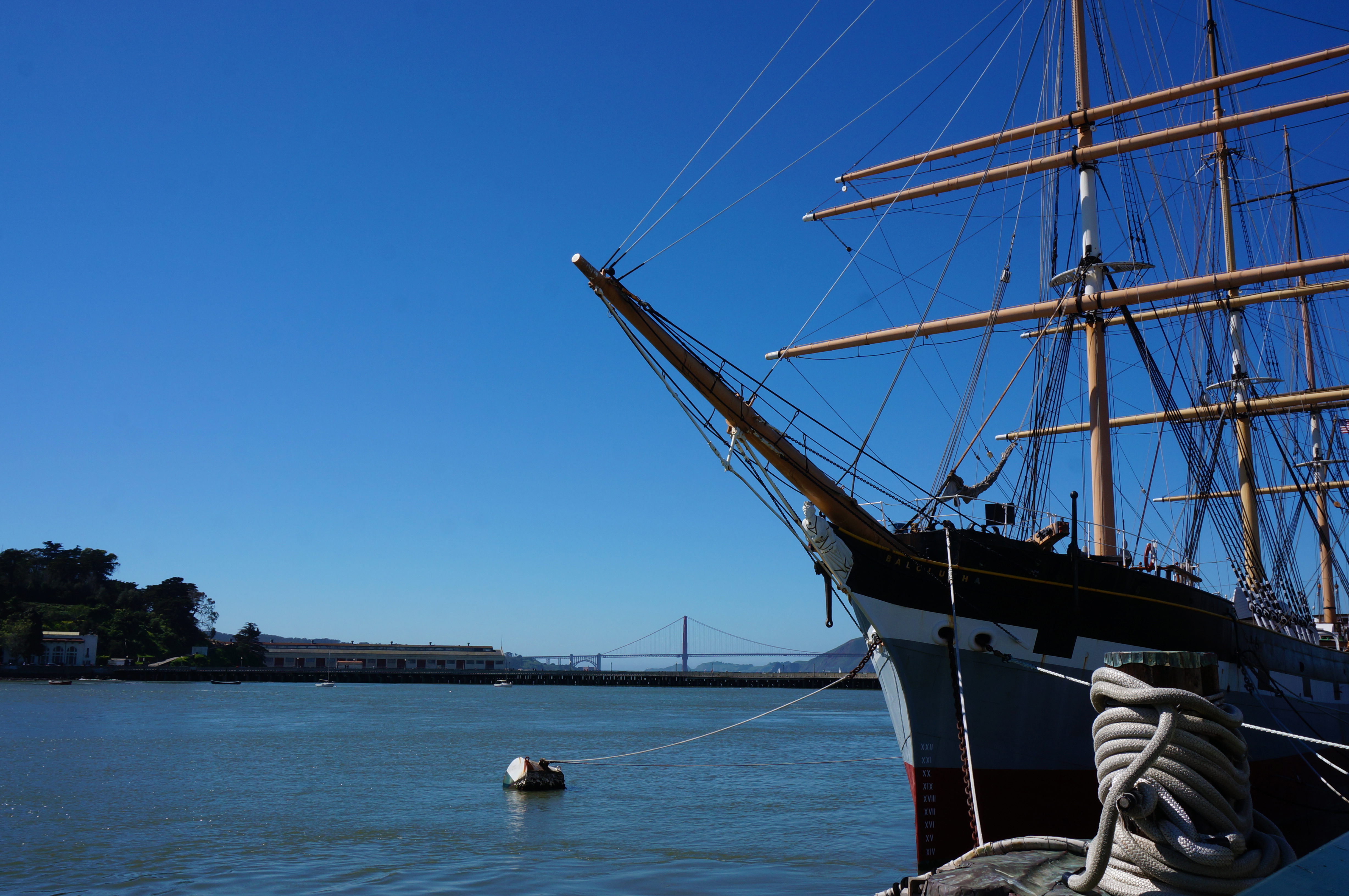
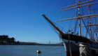
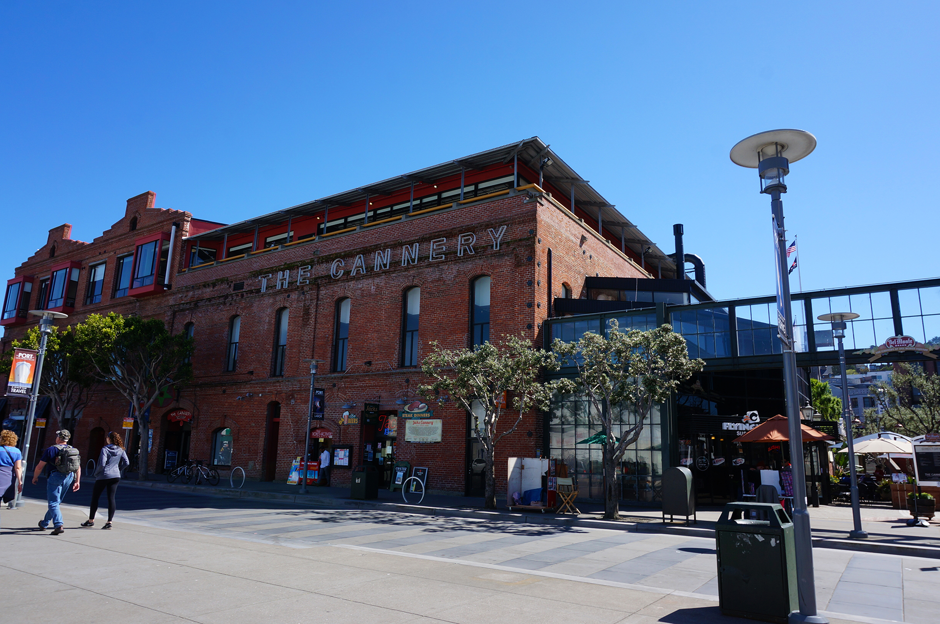
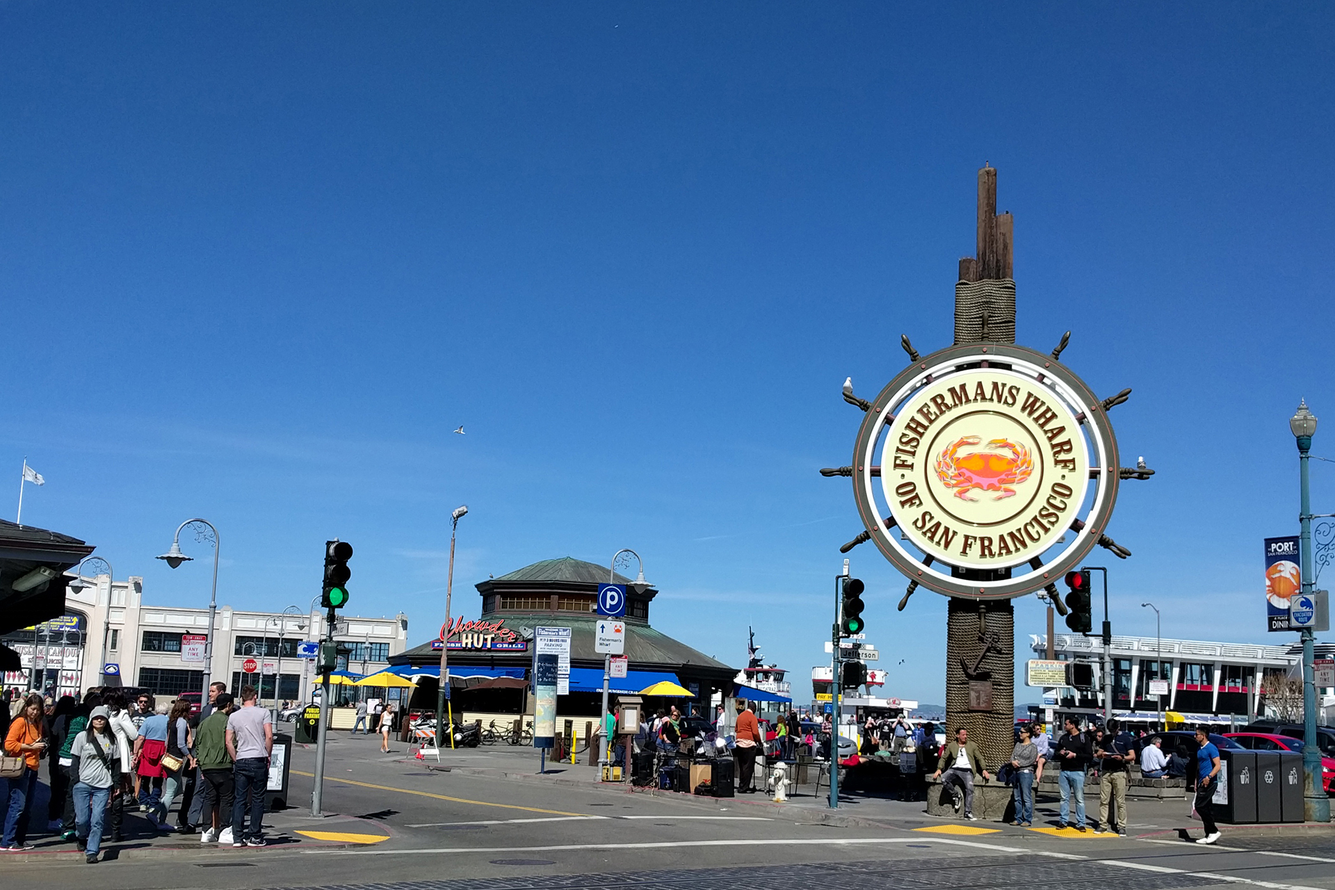
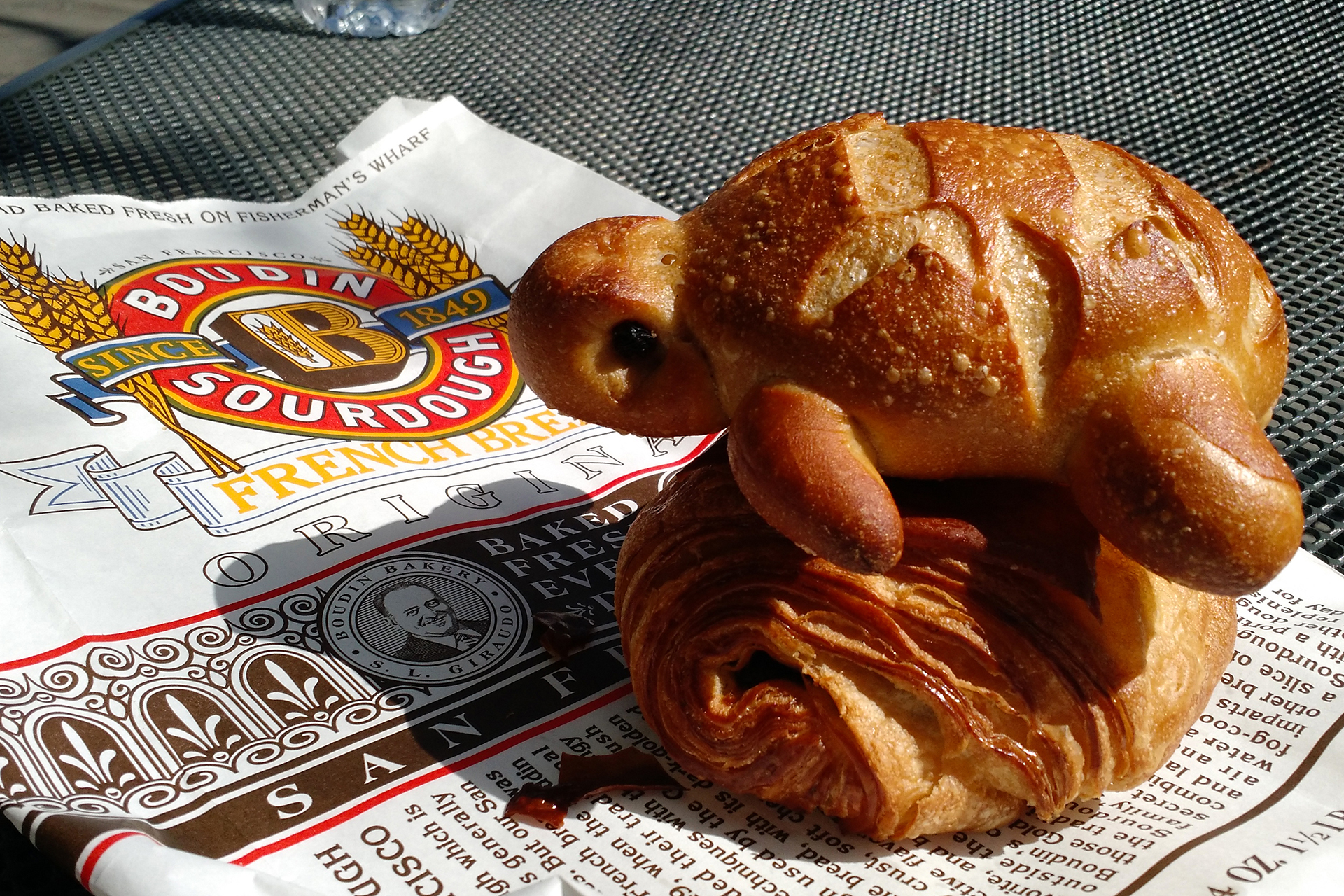
We admired Lombard’s craziness, then headed down towards the water and Ghirardelli Square.  We strolled along San Francisco’s national historical maritime park and the Embarcadero, then stopped for a snack: an adorable, turtle-shaped piece of sourdough from the Boudin bakery.  (Check the pictures below.)  Despite its cuteness, we savaged its doughy body, and then hopped on a bus for the Golden Gate Bridge.

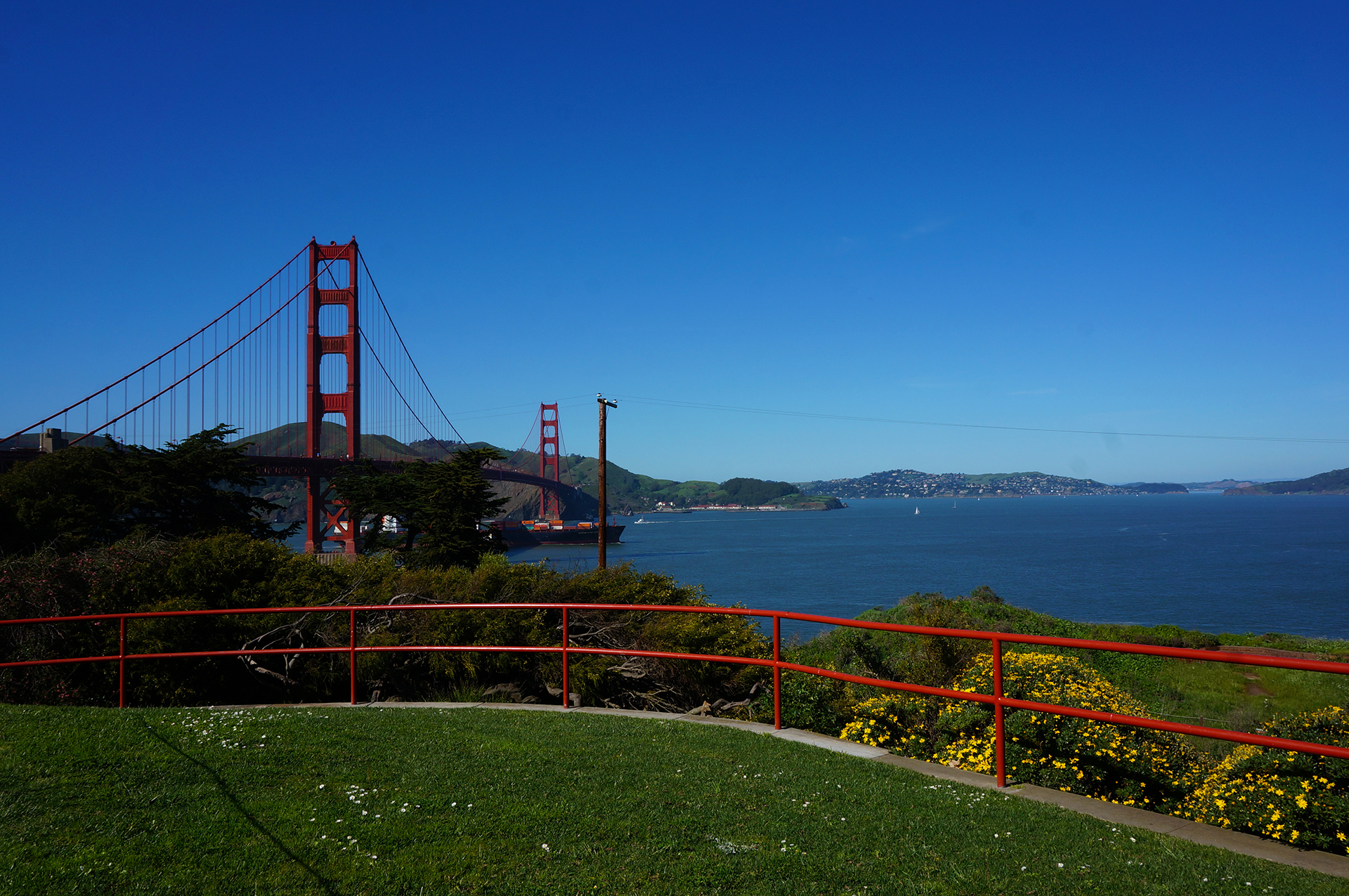
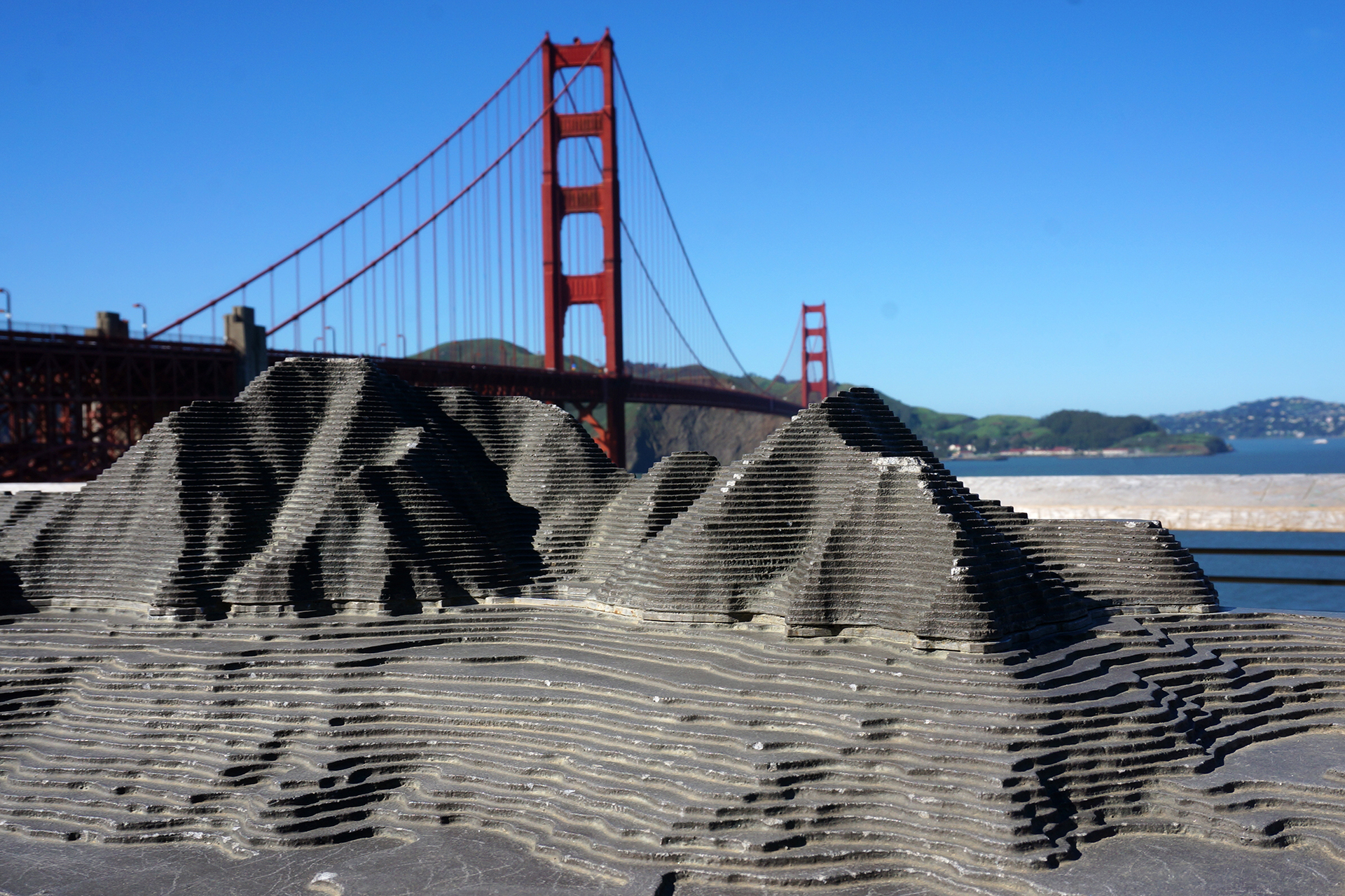
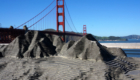
Then, we hopped off, spent 30 minutes figuring out the bus system, and hopped on the correct bus to the Golden Gate Bridge.

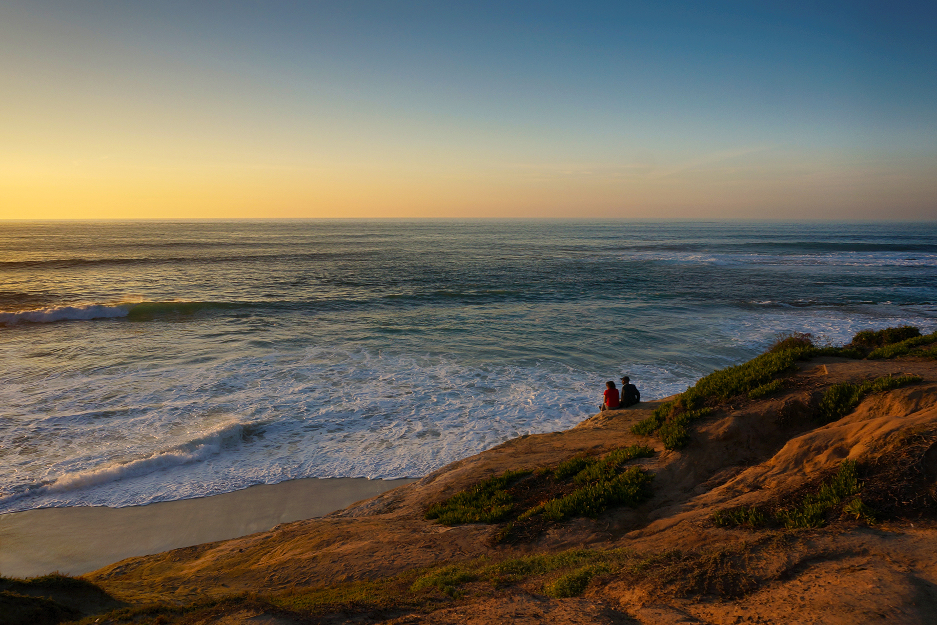
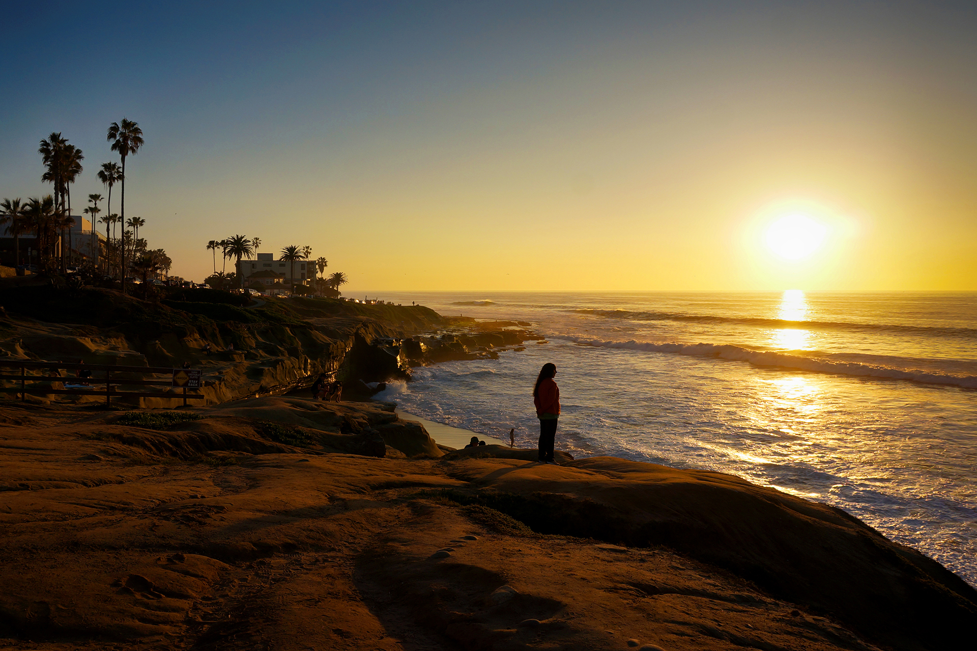
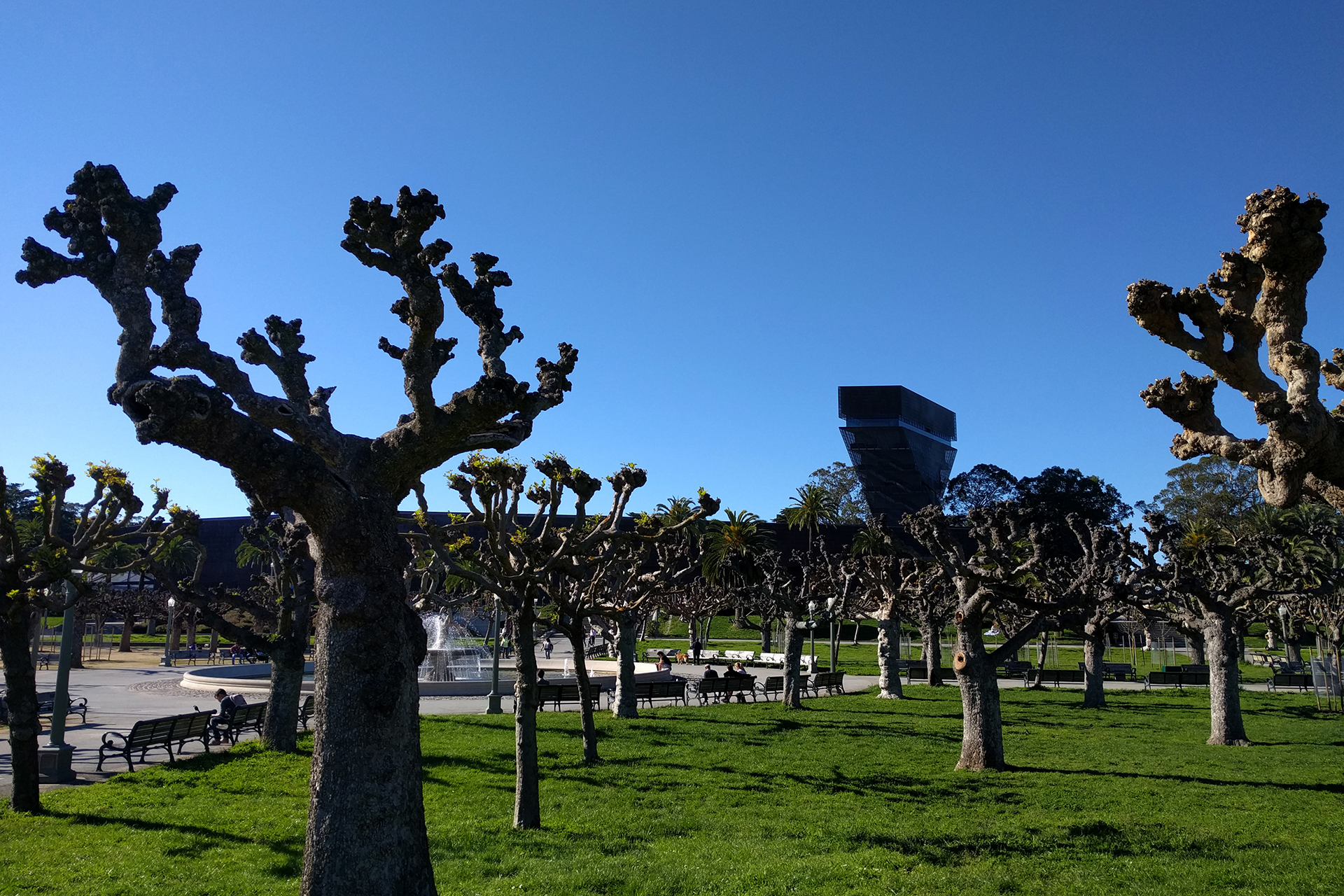
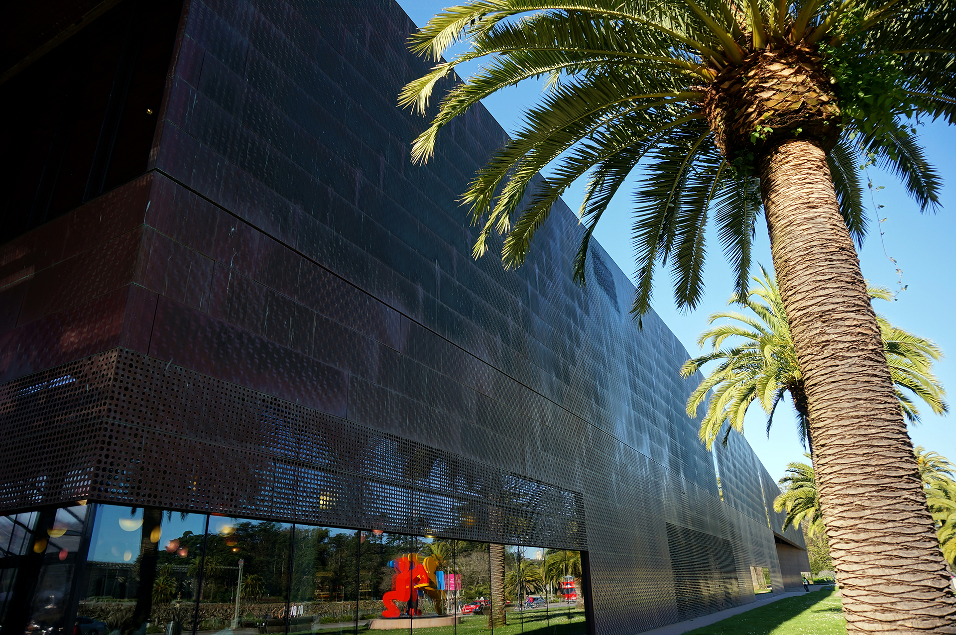
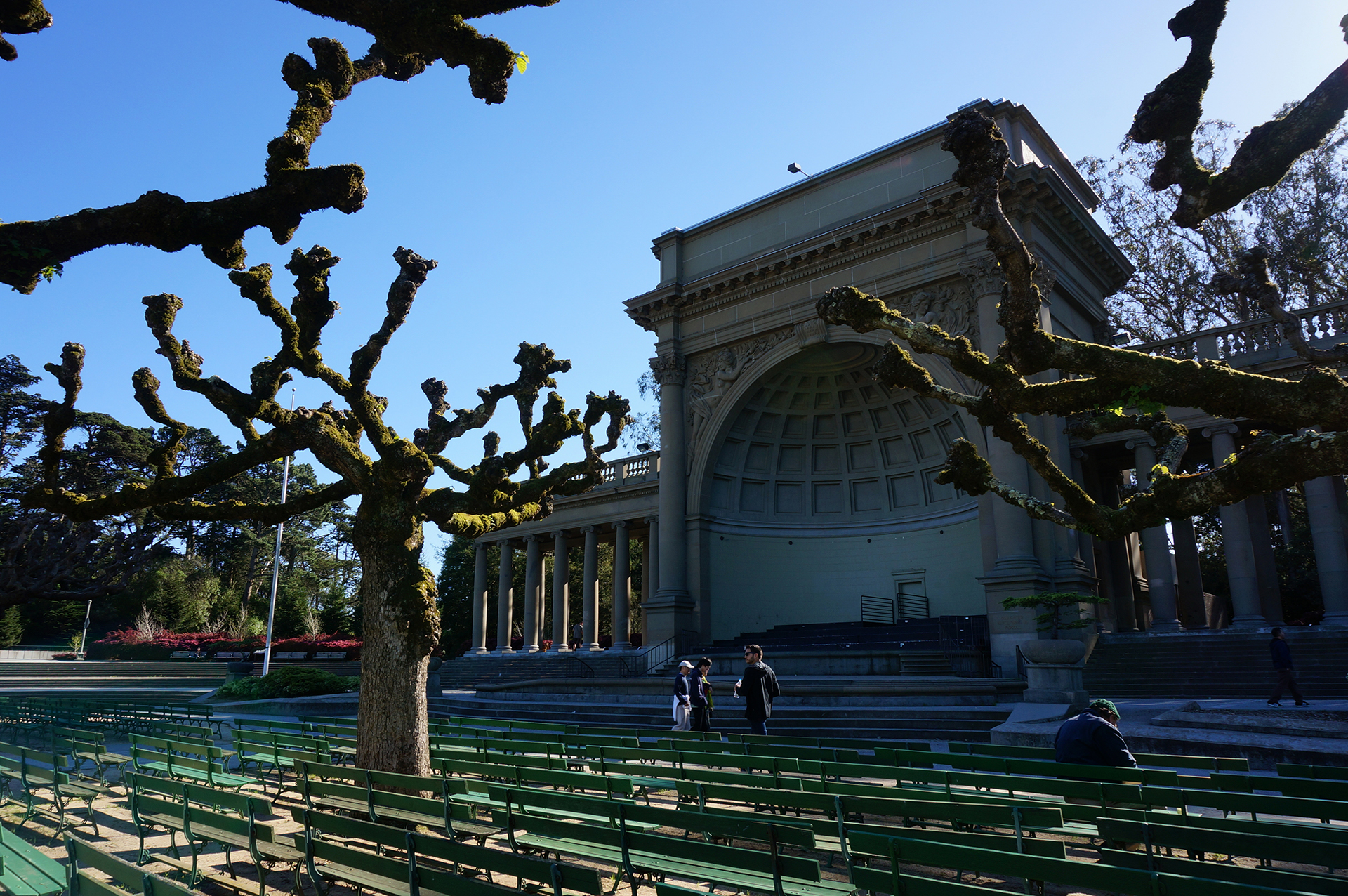
The Golden Gate Bridge is a beautiful landmark, but it doesn’t take long to see if you’re not crossing over it.  We took another bus back into the city, south to Golden Gate Park, where we strolled the meandering paths and admired the grounds.  It’s a really nice park, although I (Jake) hated the look of the De Young Museum, a deeply ugly monstrosity that does the exact opposite of blending in with its surroundings.  Heather was excited to see the museum, since she learned about it in architecture school, and she thought it was beautiful. Just kidding!  She really wanted to like it (emphasis hers), but ultimately had to acknowledge it puts the “ug” in fugly.”

At this point, tired of walking, we realized our bus ticket had only been vaguely stamped with the date – not the time – so we reckoned it should be good all day to do whatever we wanted.  (Also, nobody ever checked it.)  We took another bus down to the Painted Ladies, of Full House fame:

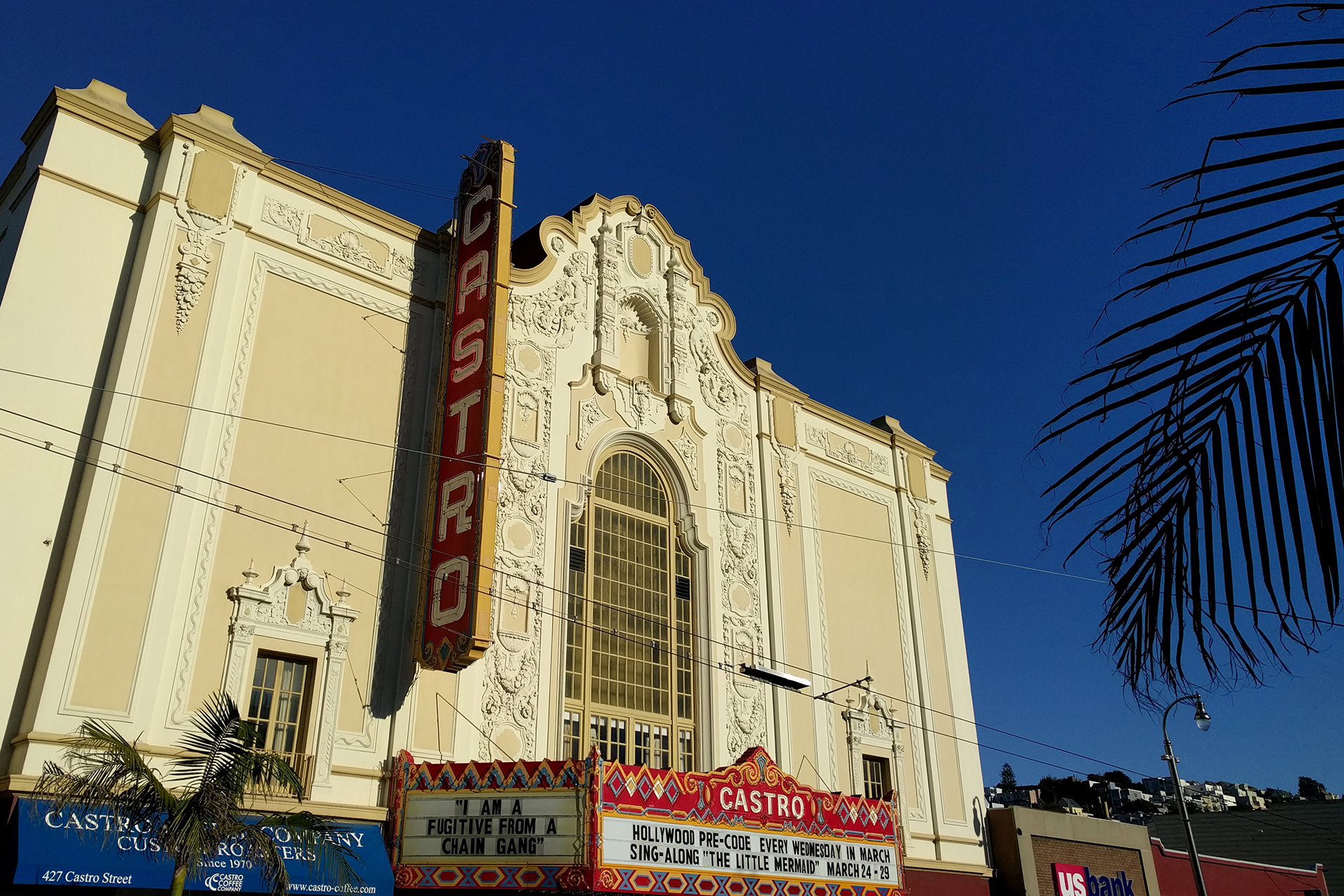
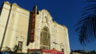
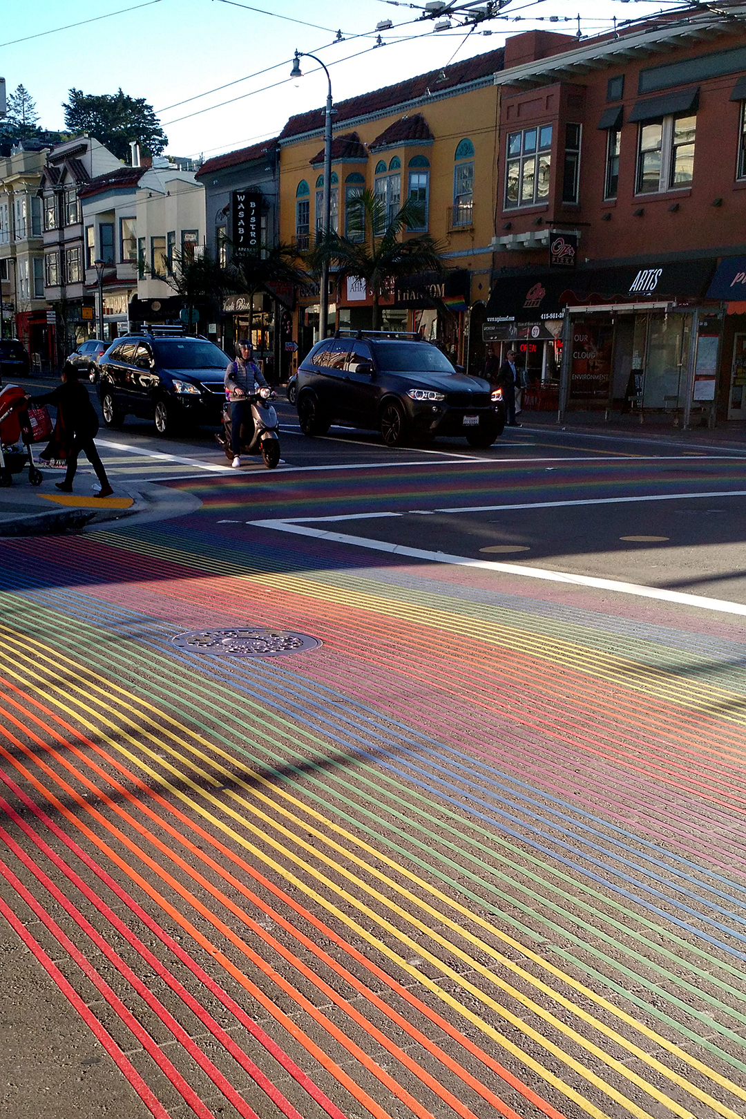
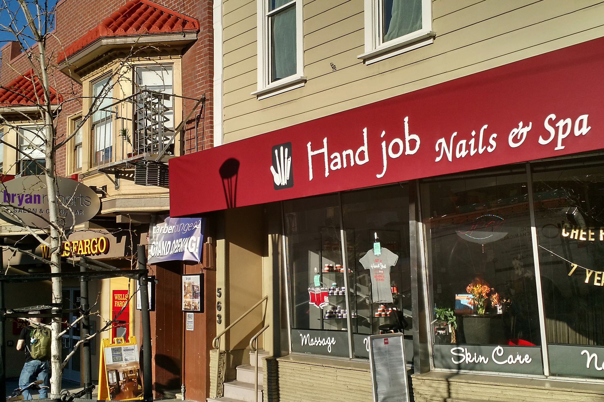
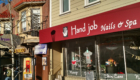
From there, another bus took us to the famous Castro district.  We really enjoyed the rainbow crosswalks, as well as the, um, “subtly” dirty shop names.

Finally, we walked to the Mission district and got burritos from La Tacqueria, winner of fivethirtyeight.com’s burrito bracket.  We have to say, the restaurant lived up to the hype – these were some amazing burritos!  Finally, after 10 miles of walking and eating our way through the city later, we took the train back, and enjoyed not having to drive (for once) while we listened to some Silicon Valley business nerds enthusiastically discuss “six sigma.”

Mystery Trip

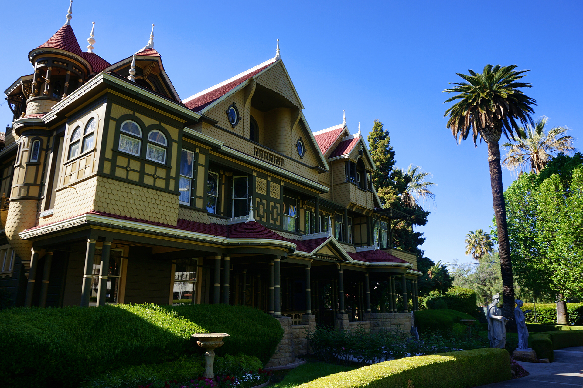
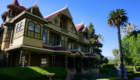
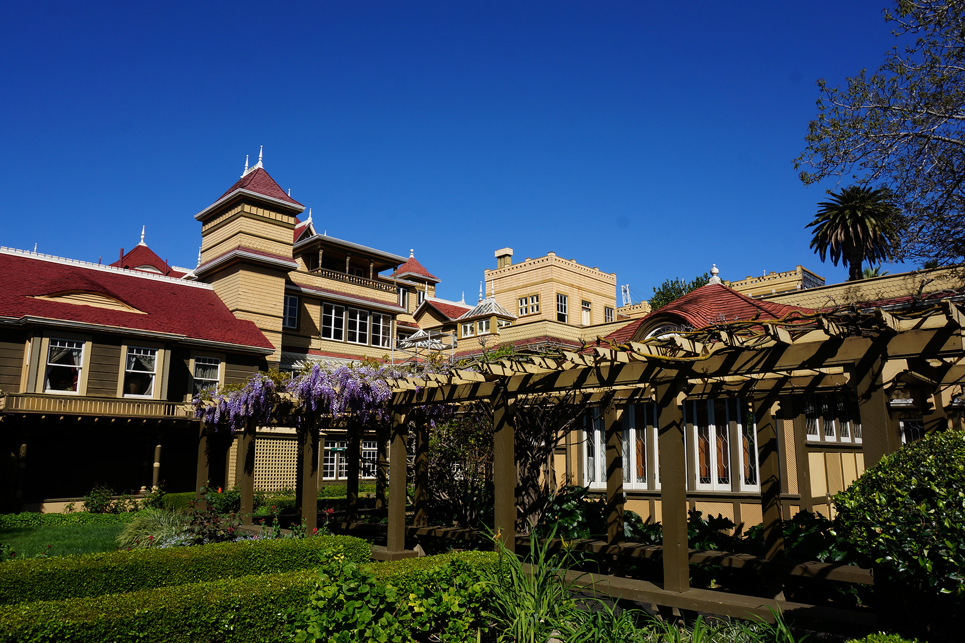
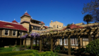
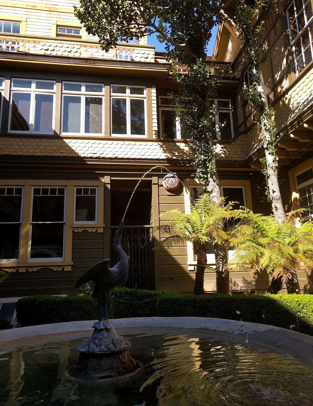
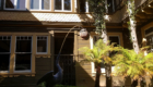
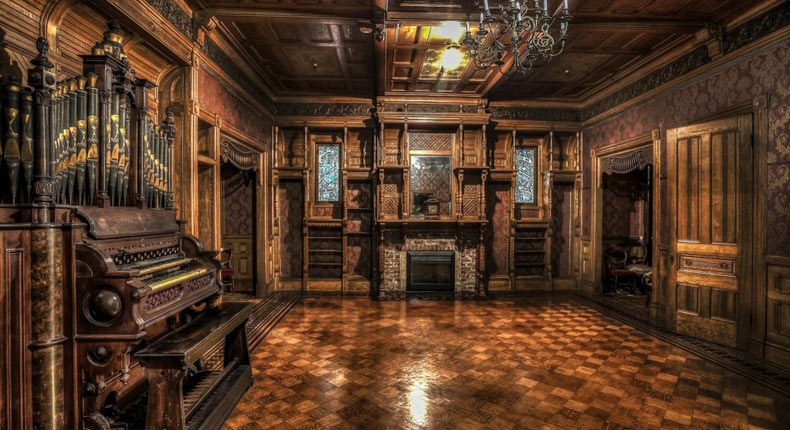
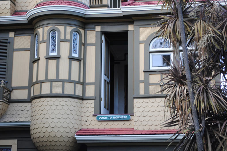
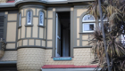
We fulfilled a promise to our pre-roadtrip selves by taking the hour-long trip down to San Jose (quietly America’s 10th largest city) to visit the Winchester Mystery House.  The Mystery House is a huge mansion built by Sarah Winchester, widow to an heir to the Winchester gun family fortune, in the late 1800s and early 1900s.  She apparently believed she was being haunted by the ghosts of people killed by Winchester rifles, and so she built the house to appease and confuse the spirits.

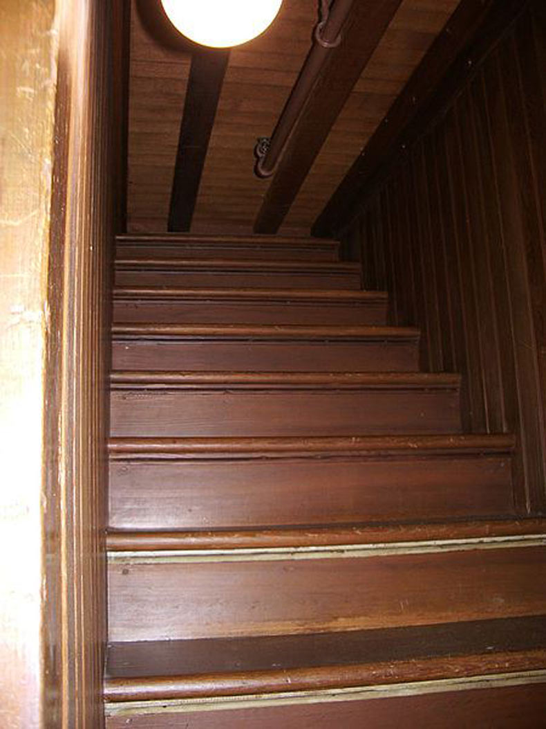
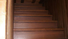
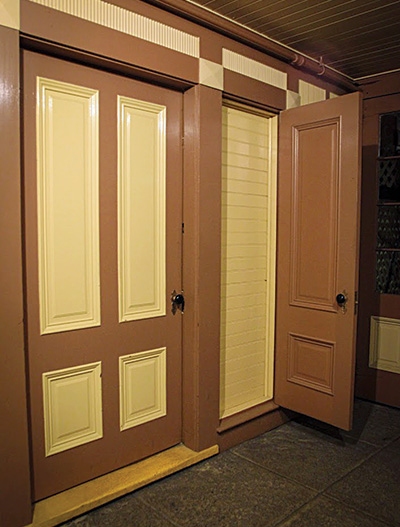
Yes: “confuse the spirits.”  The Winchester Mystery House has doors that open onto brick walls, windows in the middle of rooms, and a staircase that leads directly into a ceiling.  We should note that it’s not clear to what extent these were intentional choices, as opposed to mistakes during design and construction.  Ms. Winchester designed the house herself, with no training, and built it ever-larger over the course of nearly forty years.  The home was under construction 24/7, and no blueprints exist.

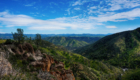
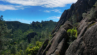
The Mystery House may not be the most efficient of structures, but it is beautiful and unique. (We weren’t allowed to take photographs inside the mansion, so the last few pics are from here.)

Earth Trip

We planned to visit some bars and restaurants in San Jose after visiting the Mystery House, but as we drove through the city and saw a sea of green t-shirts, we suddenly realized that it was St. Patrick’s Day.  Whoops!  (We were barely aware it was March.)

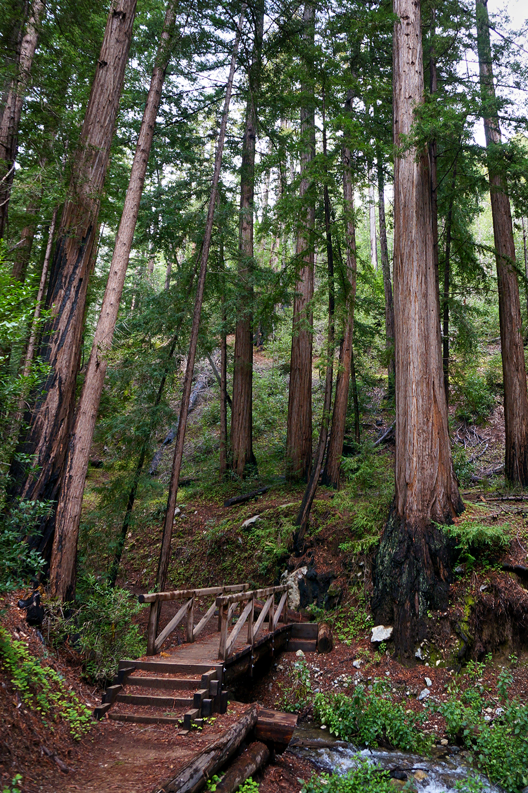
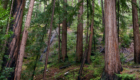
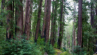
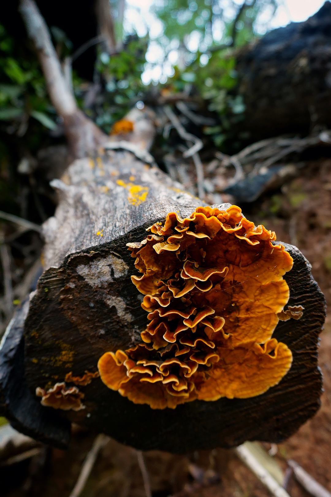
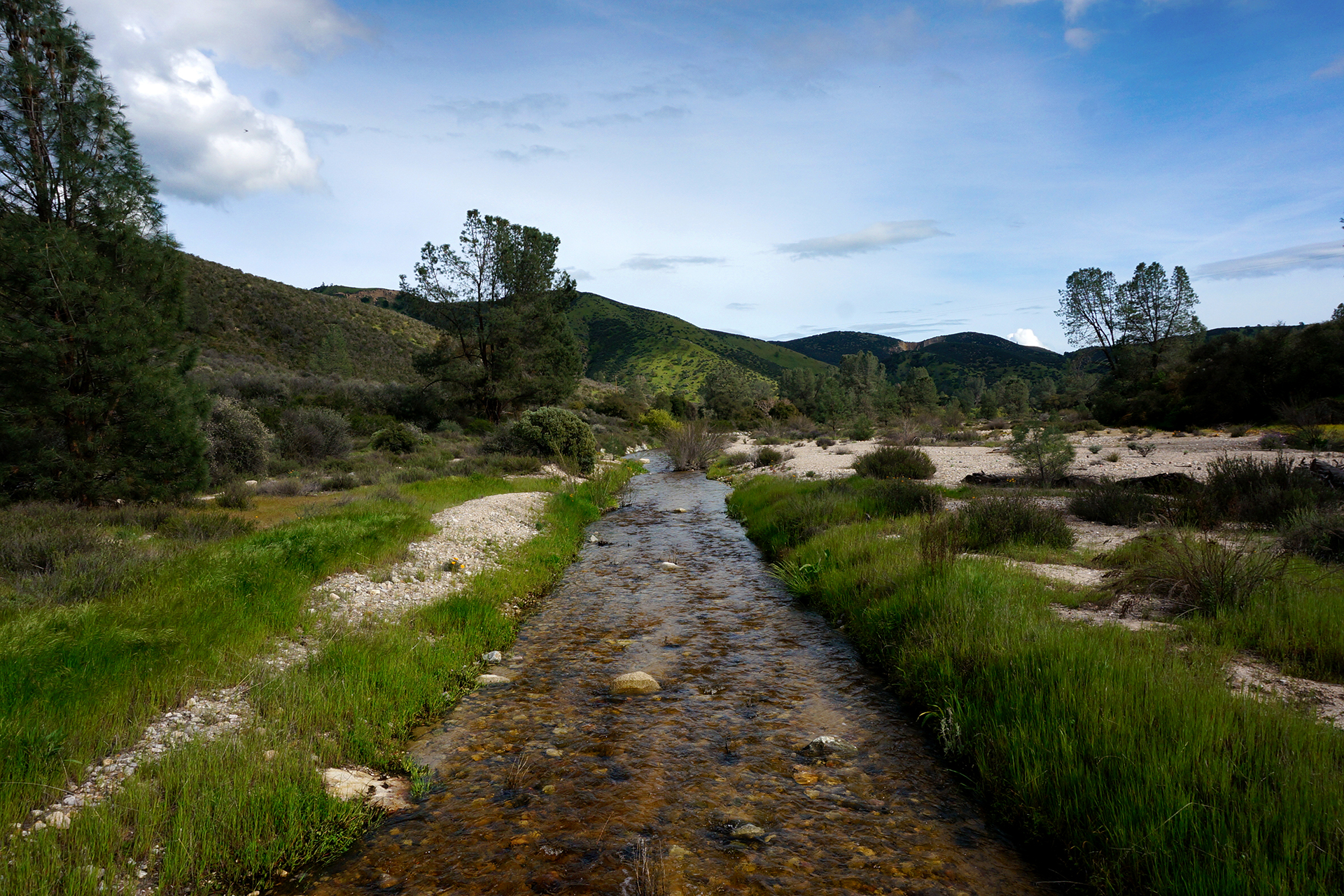
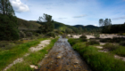
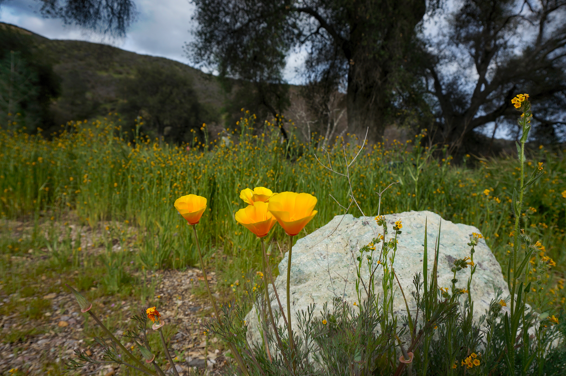
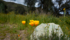
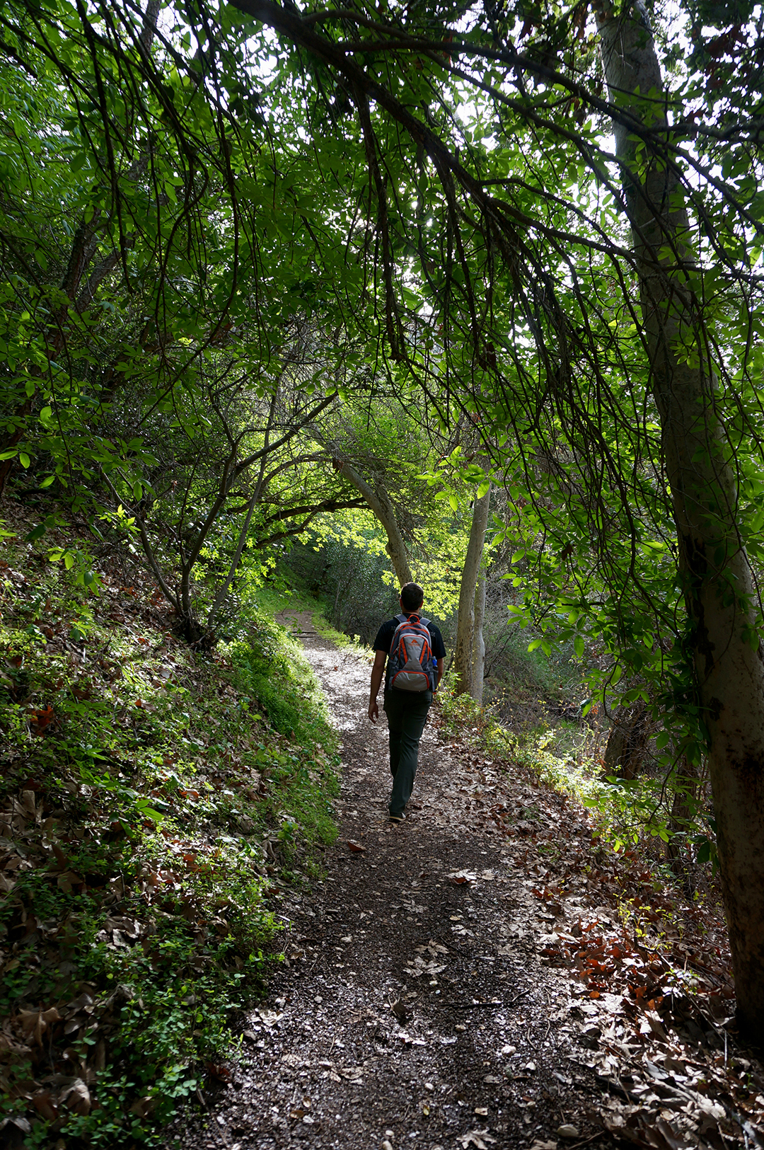
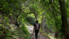
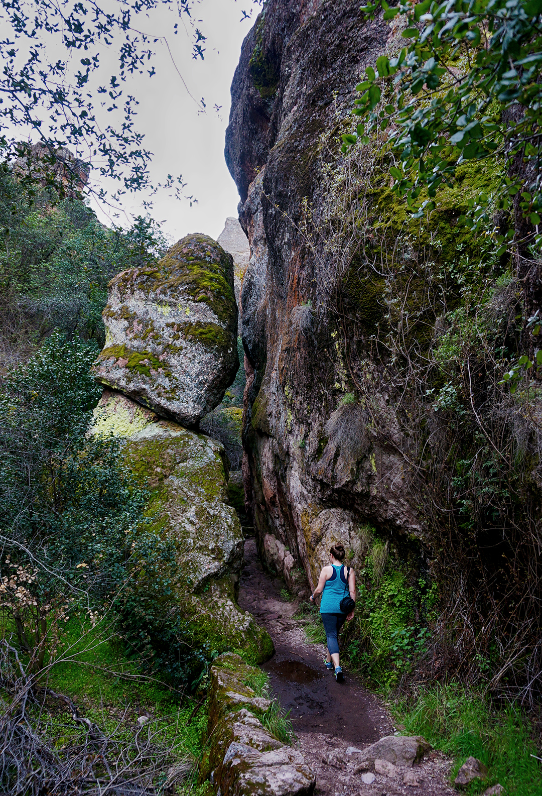
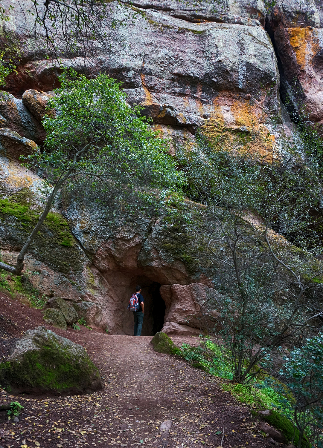
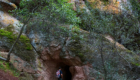
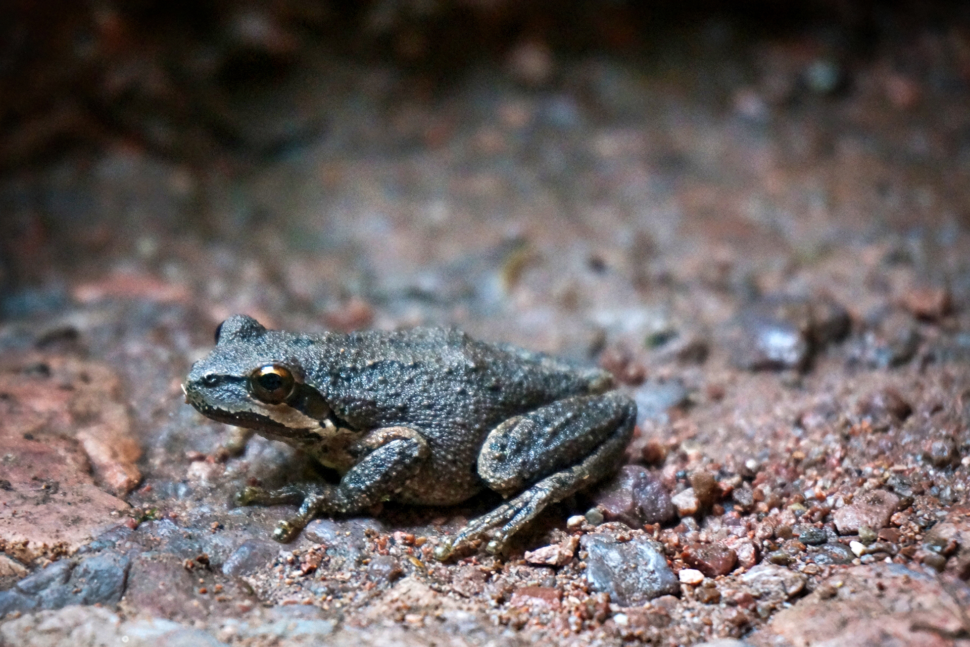
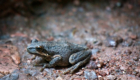
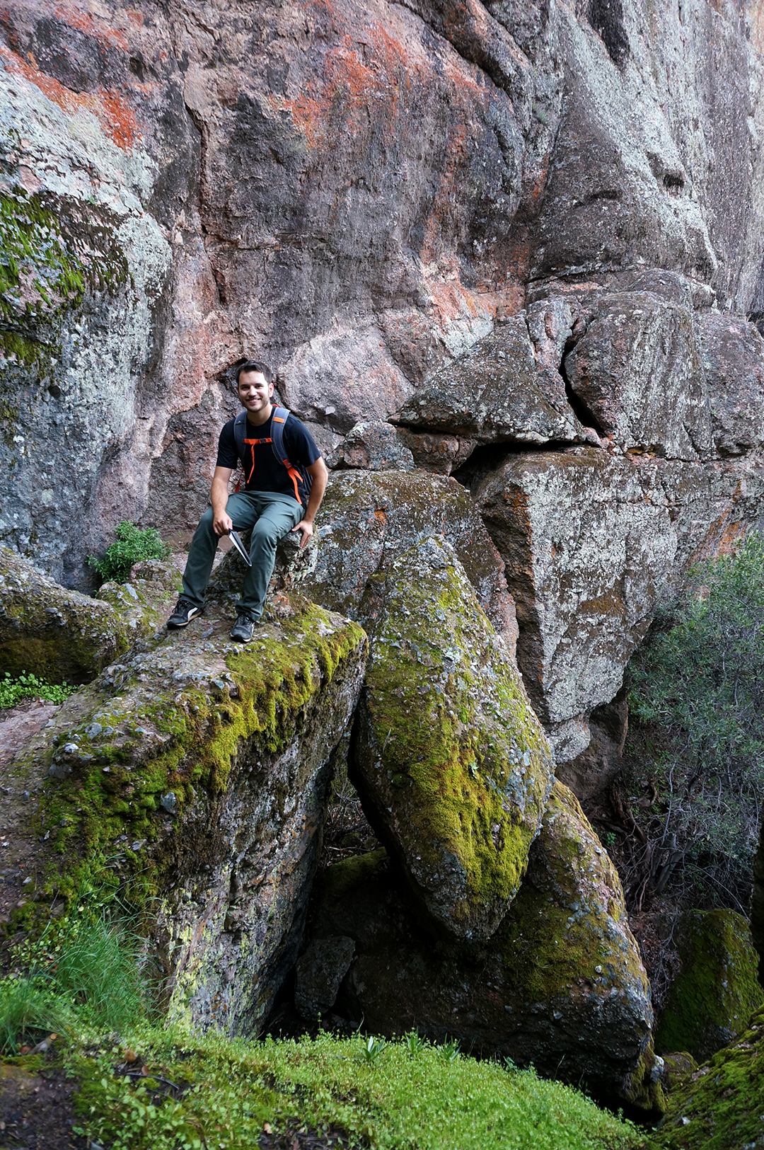
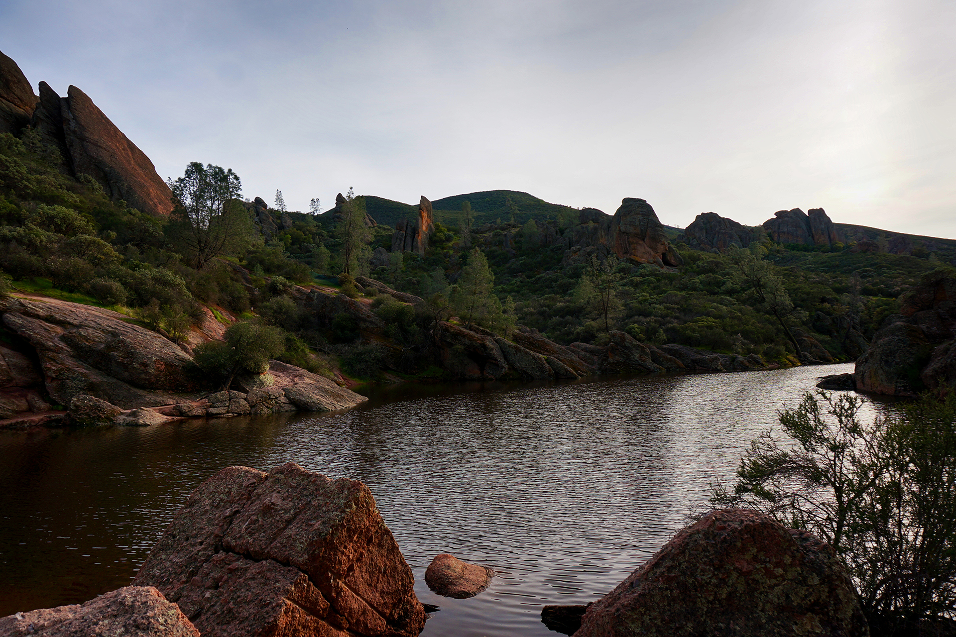
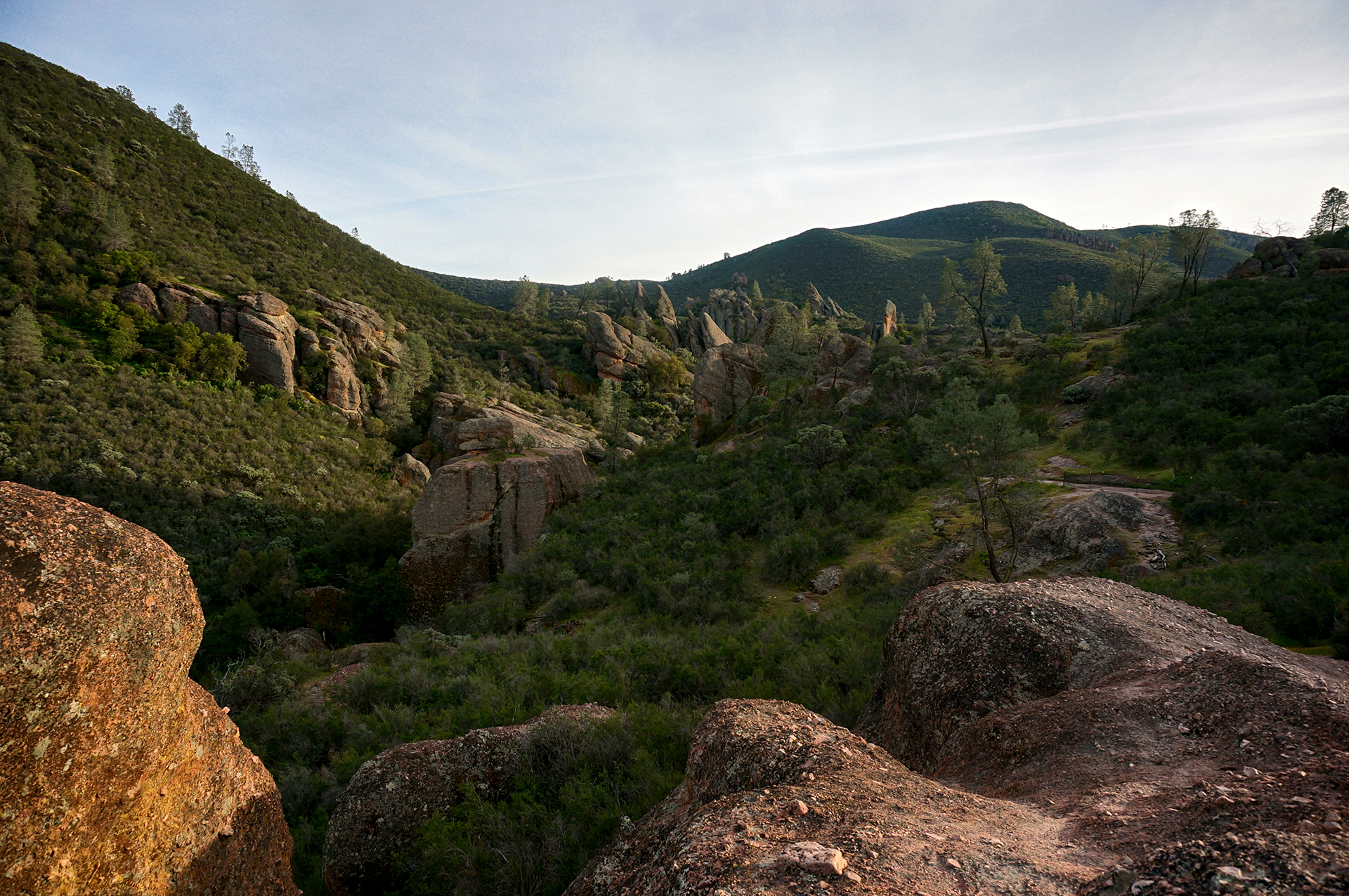
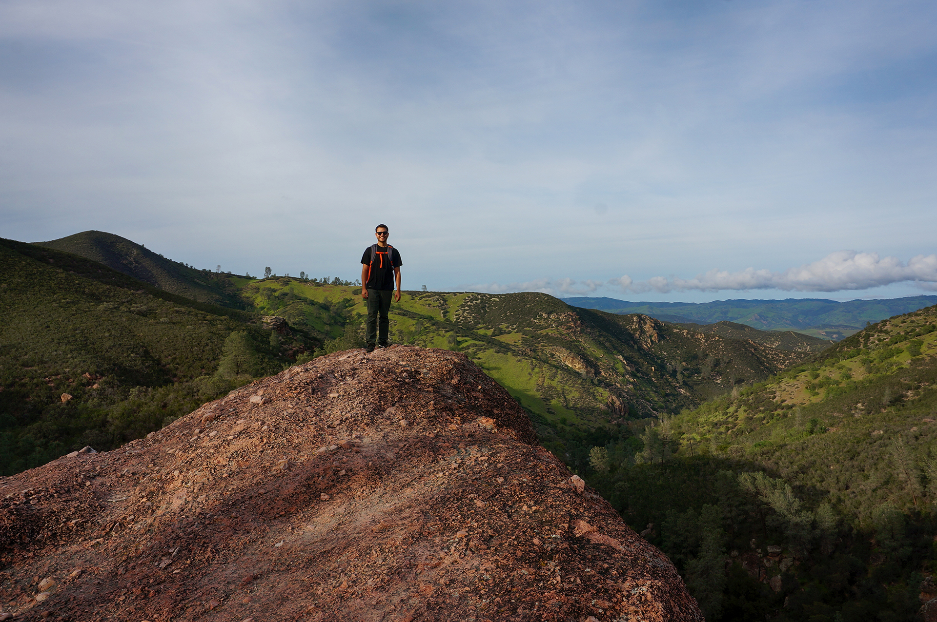
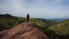
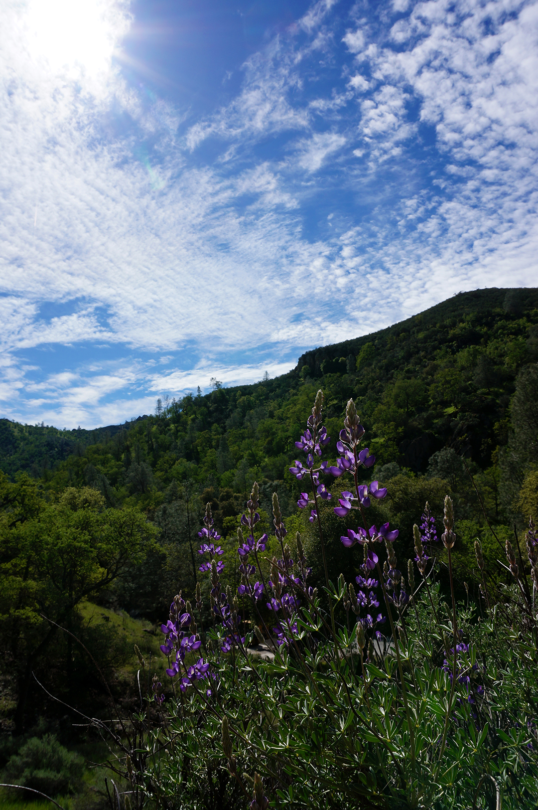
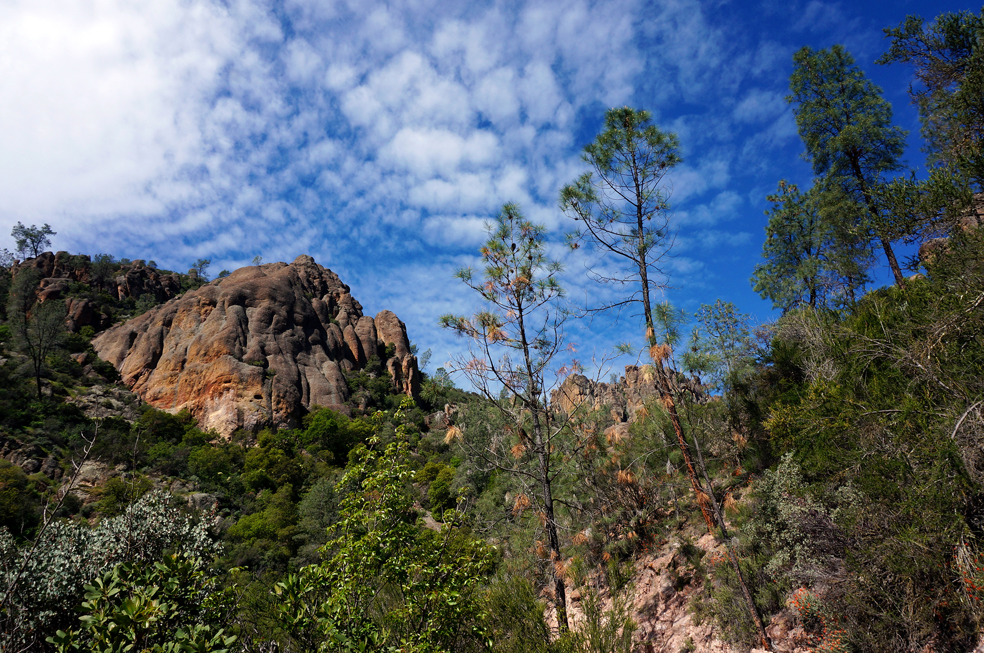
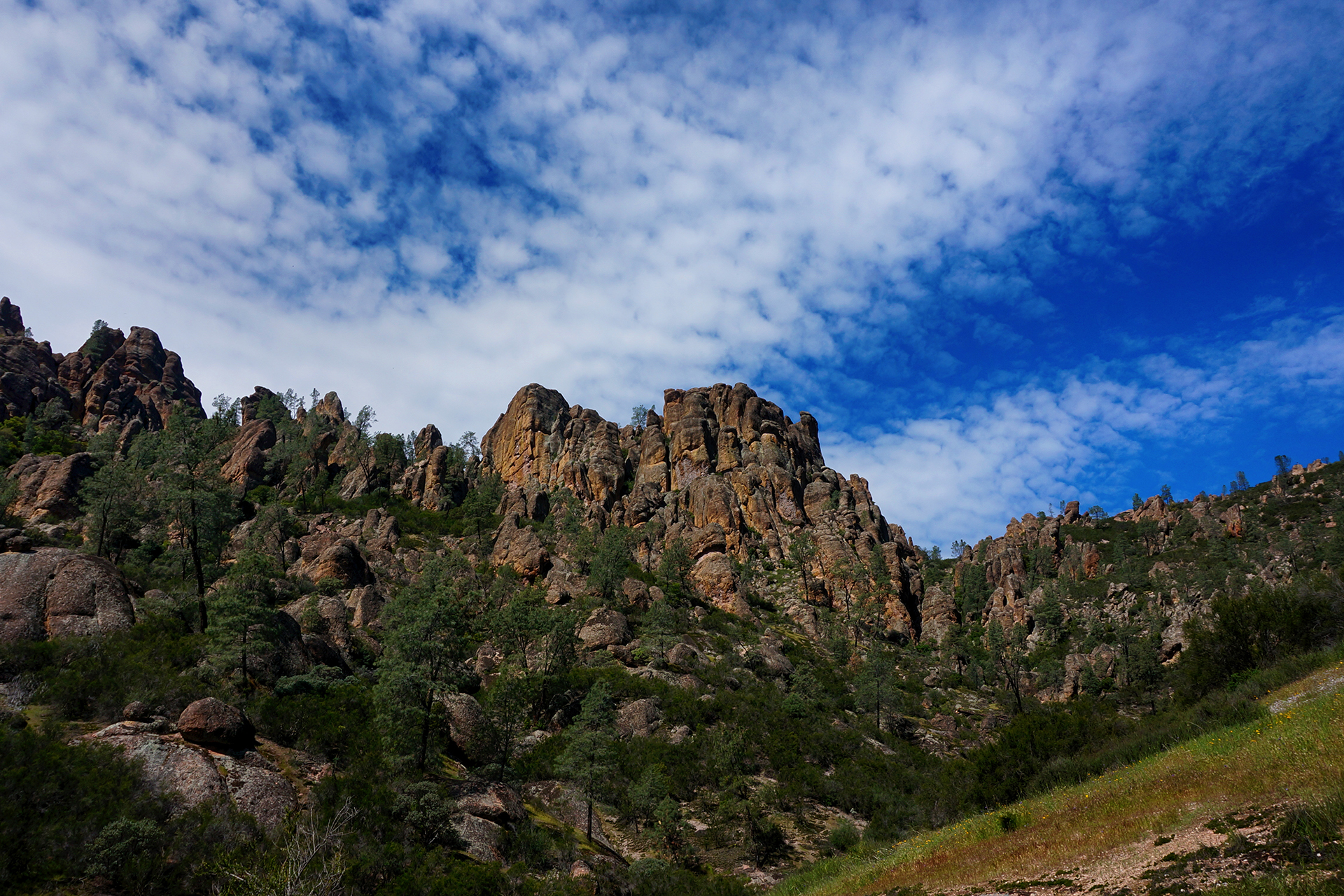
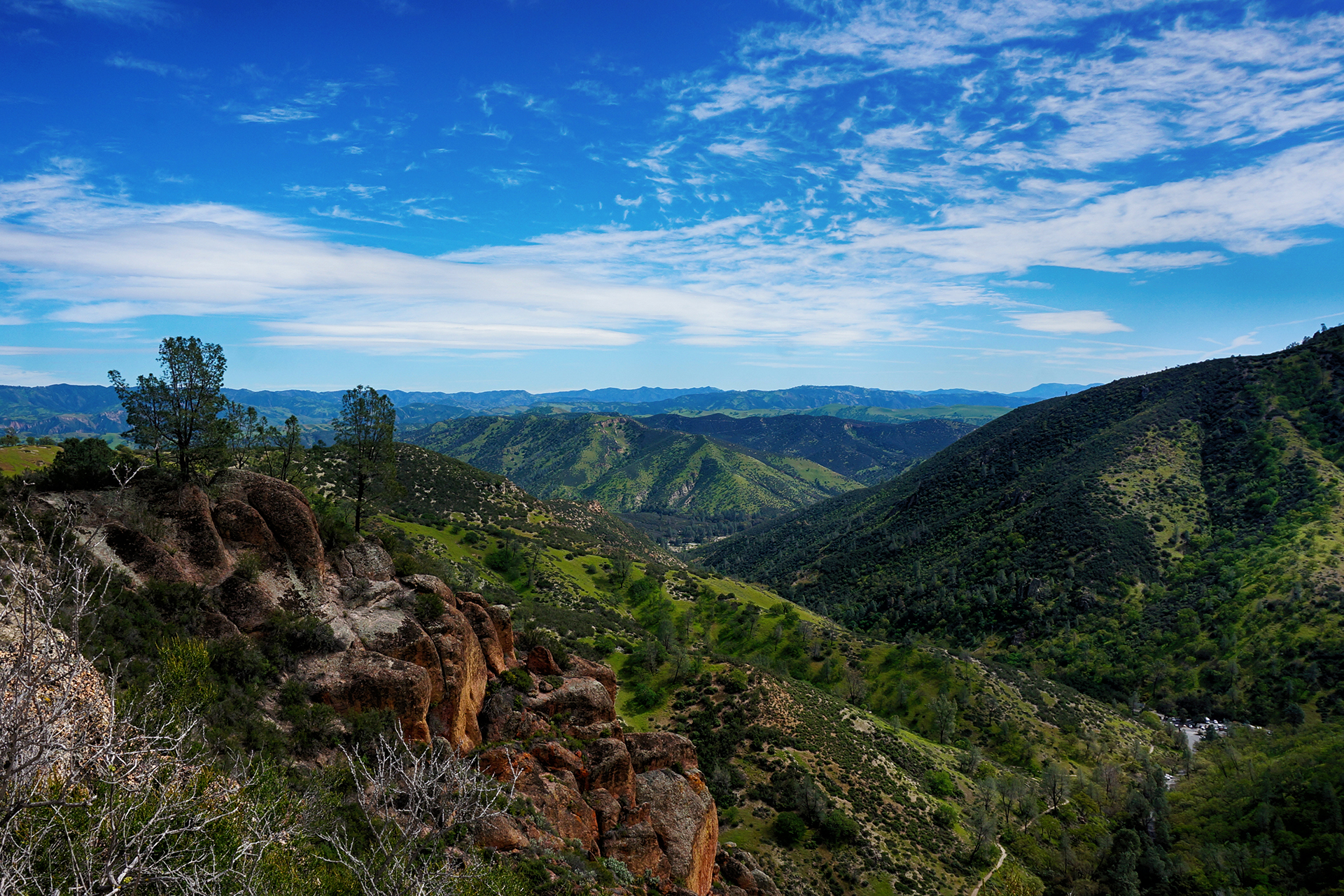
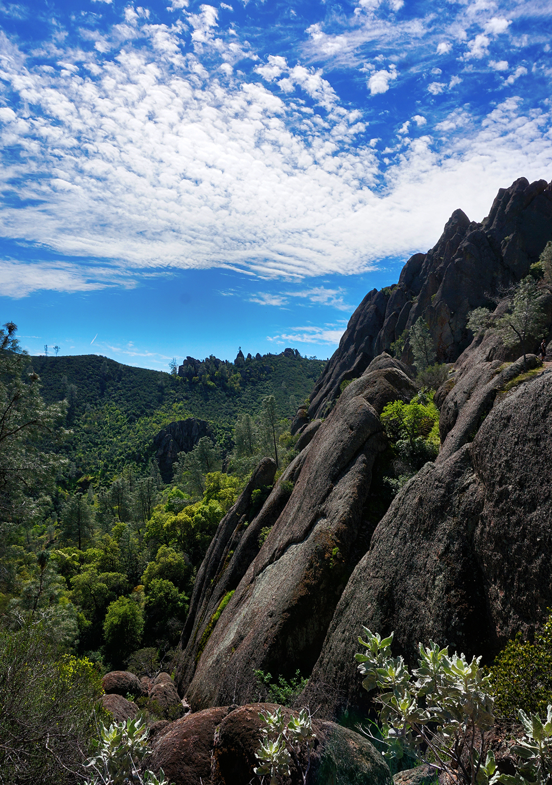
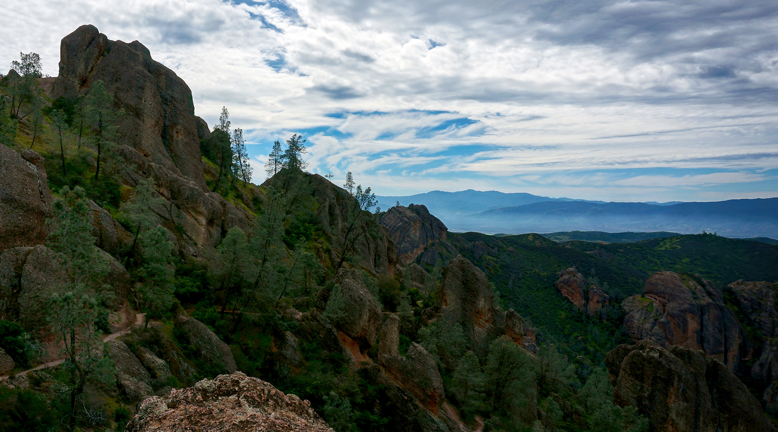
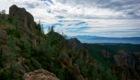
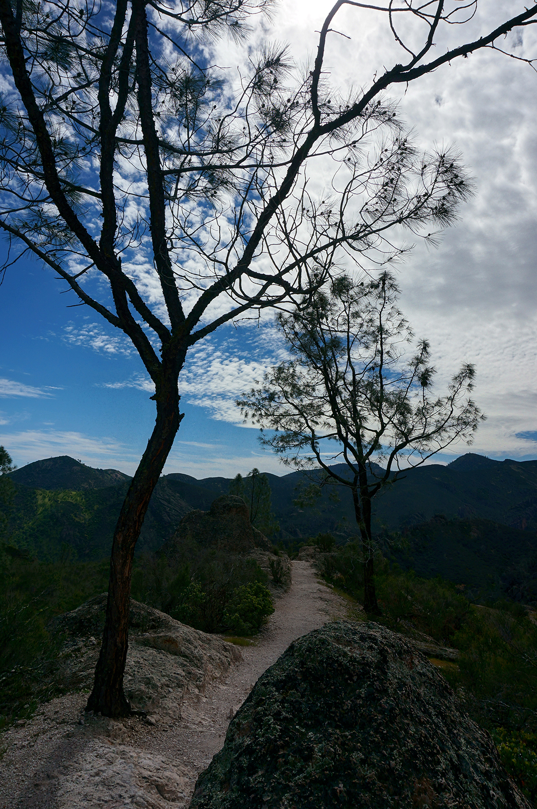
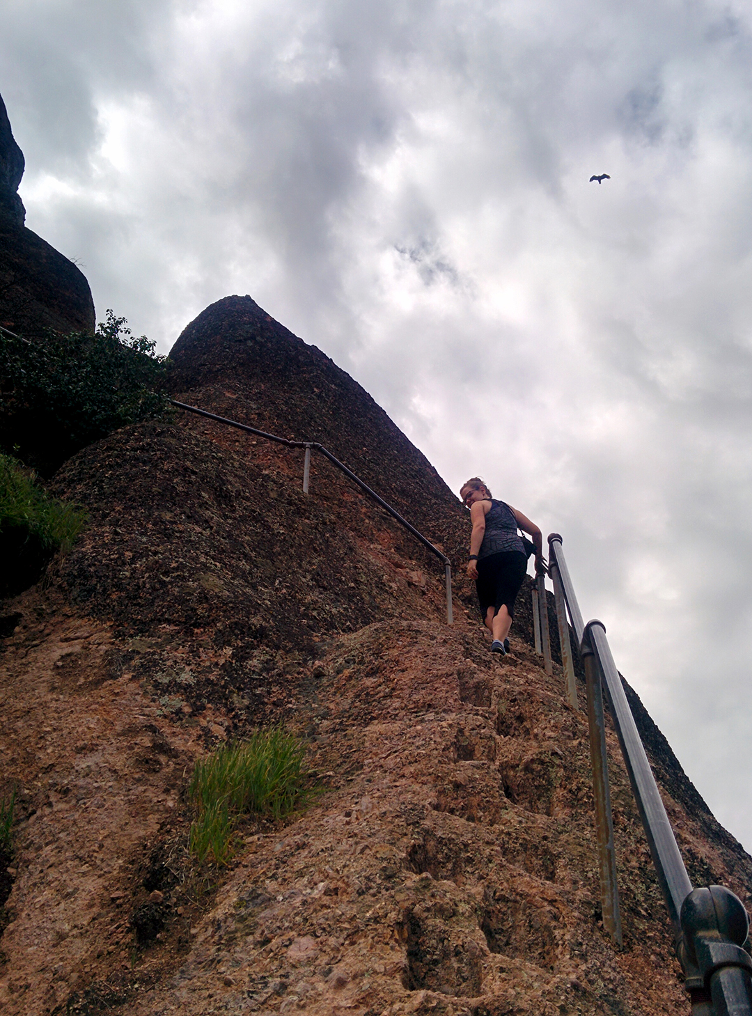
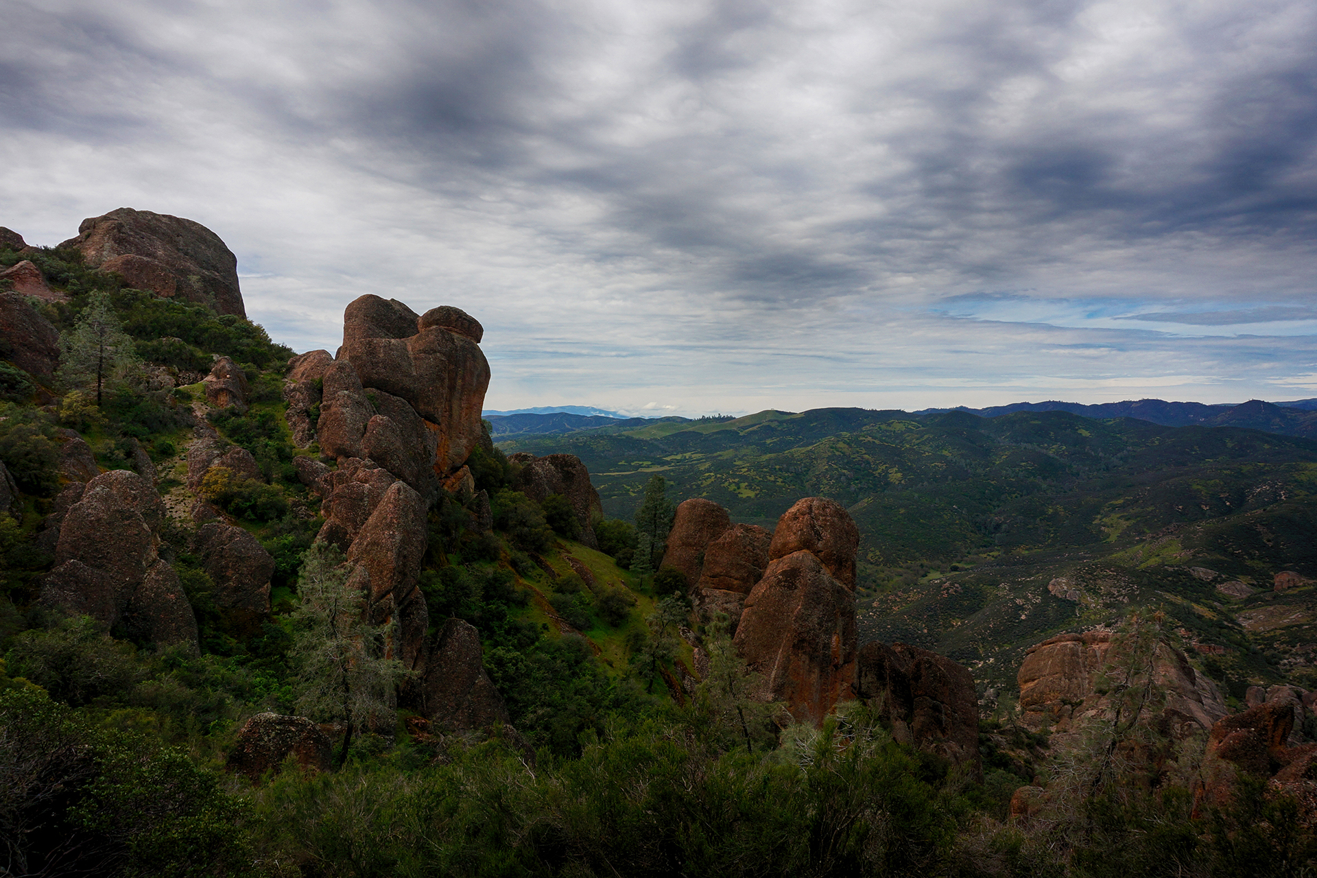
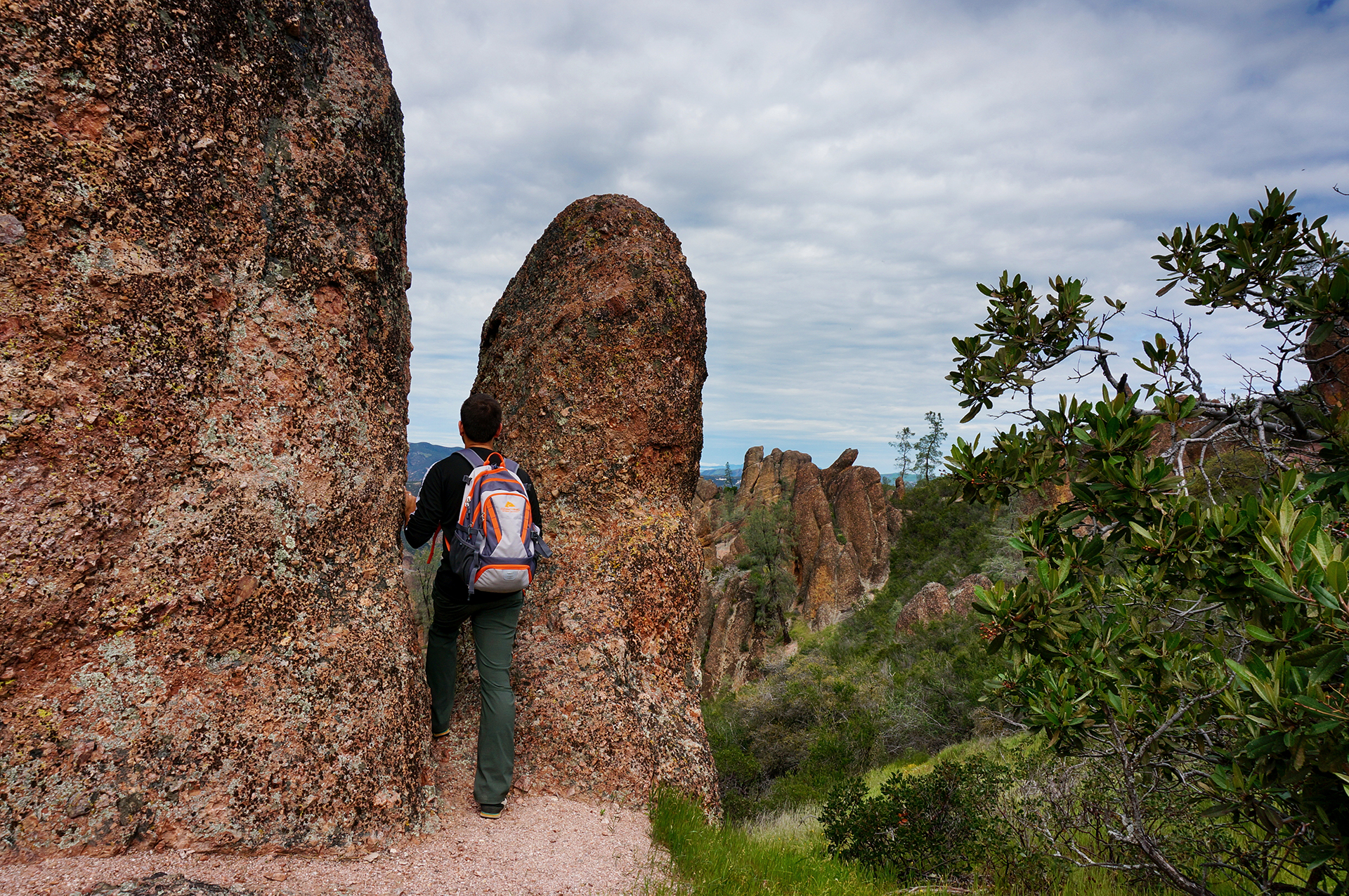
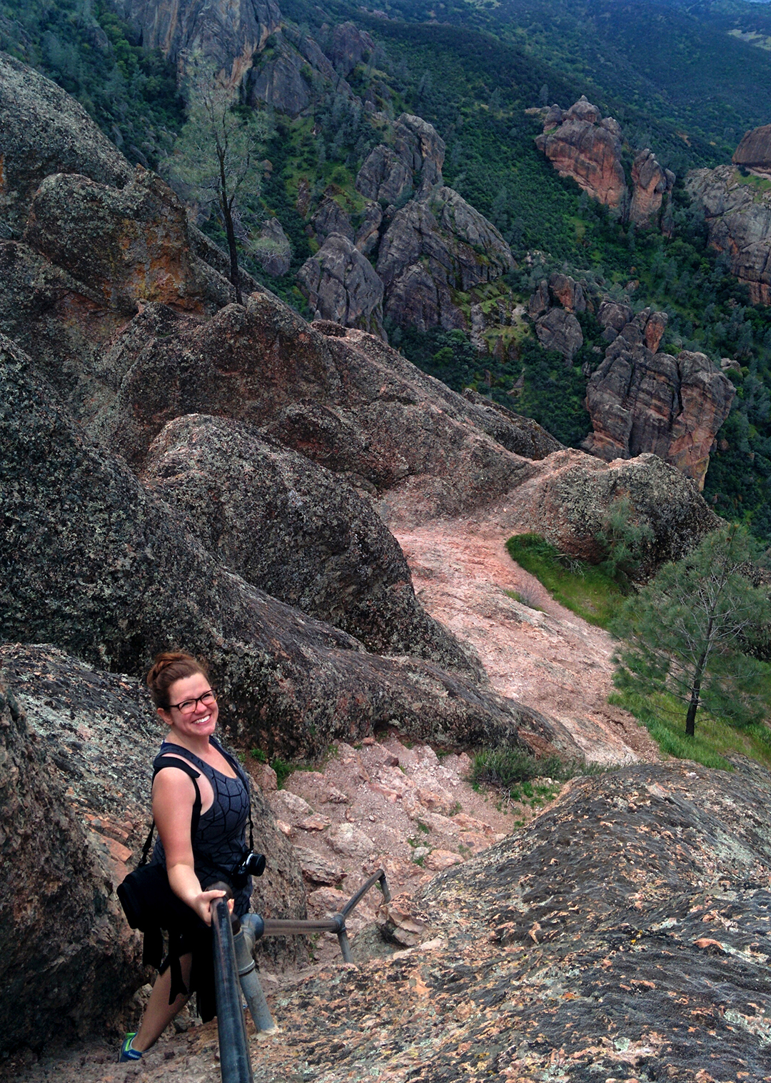
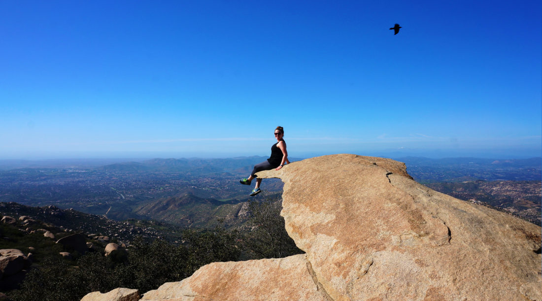
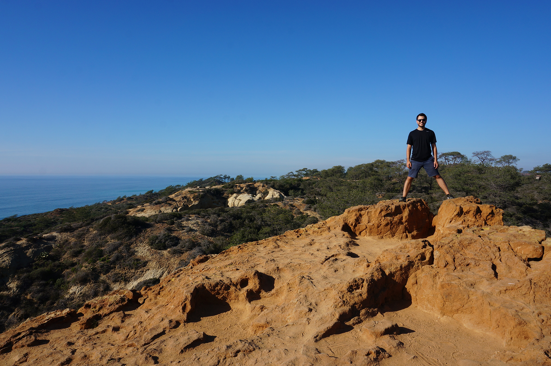
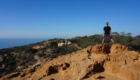
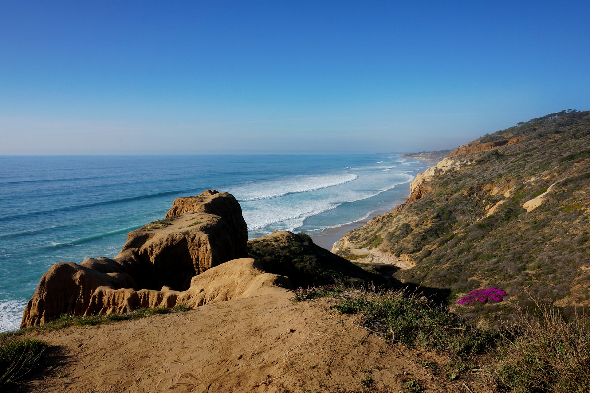
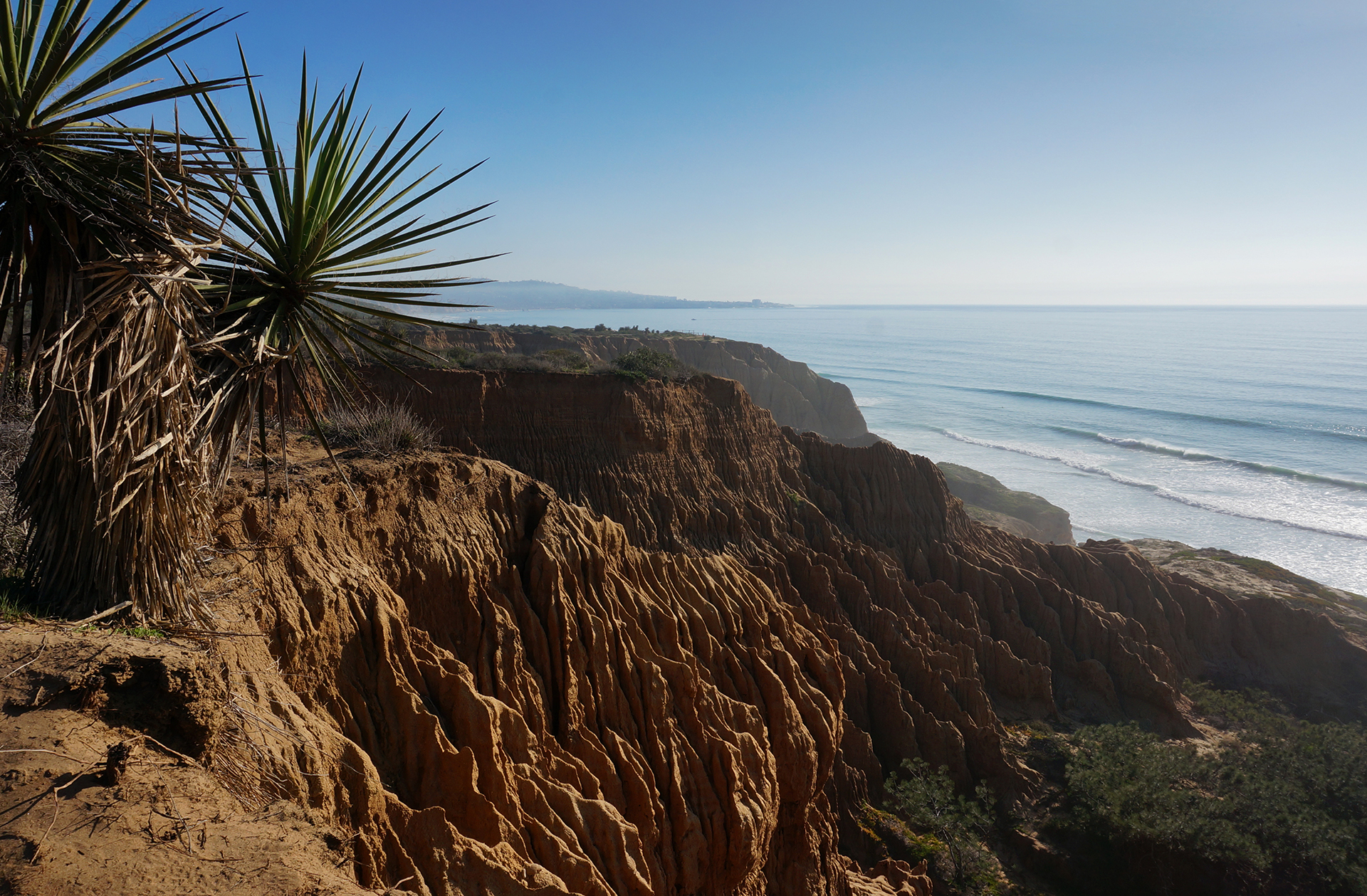
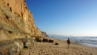
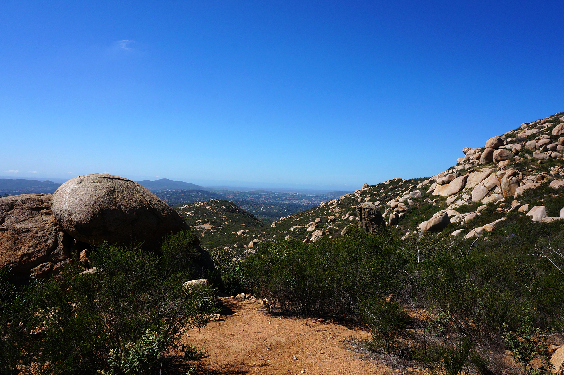
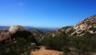
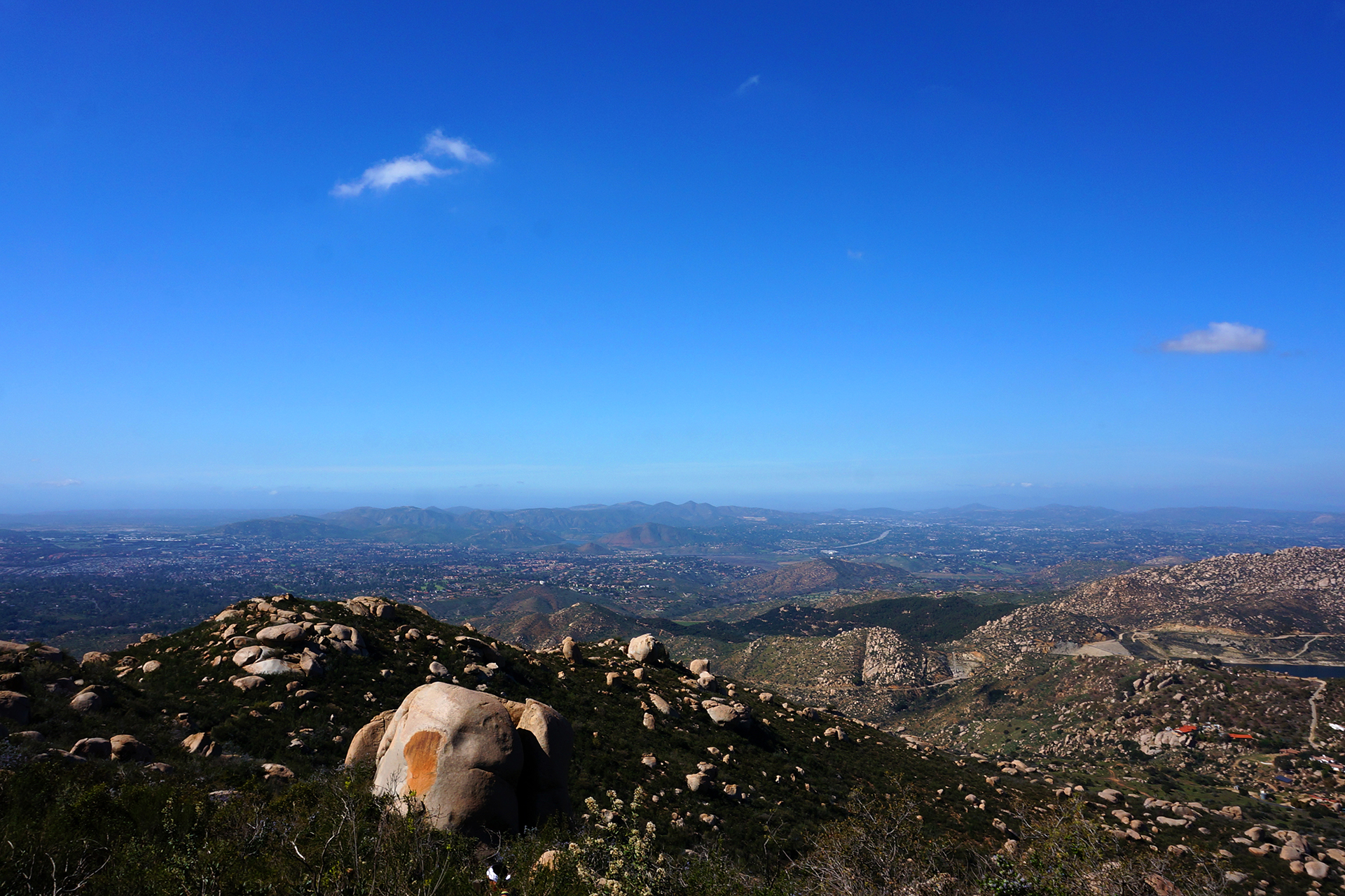
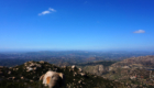
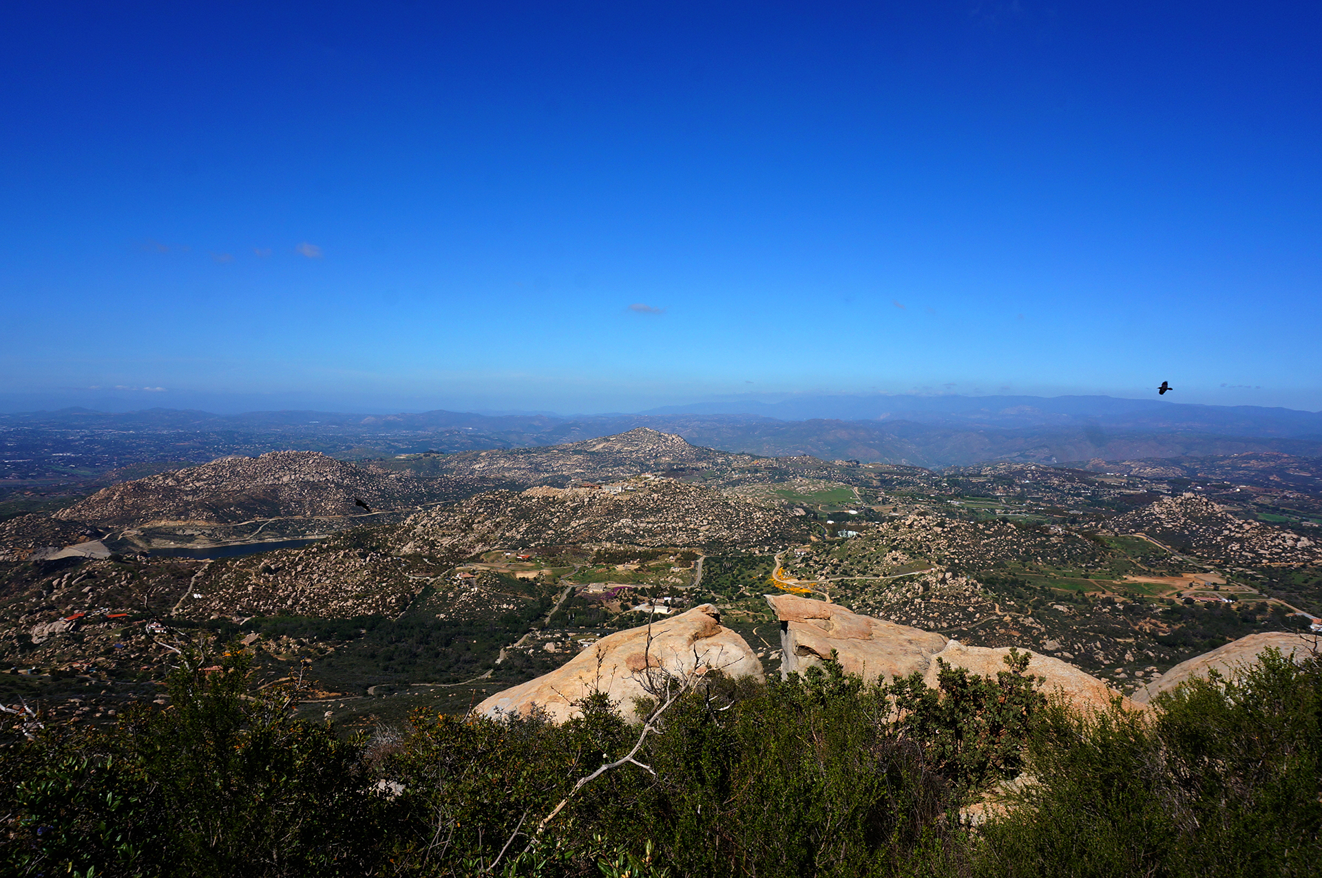
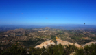
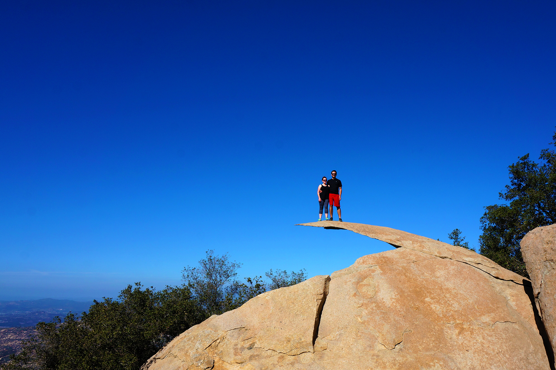
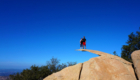
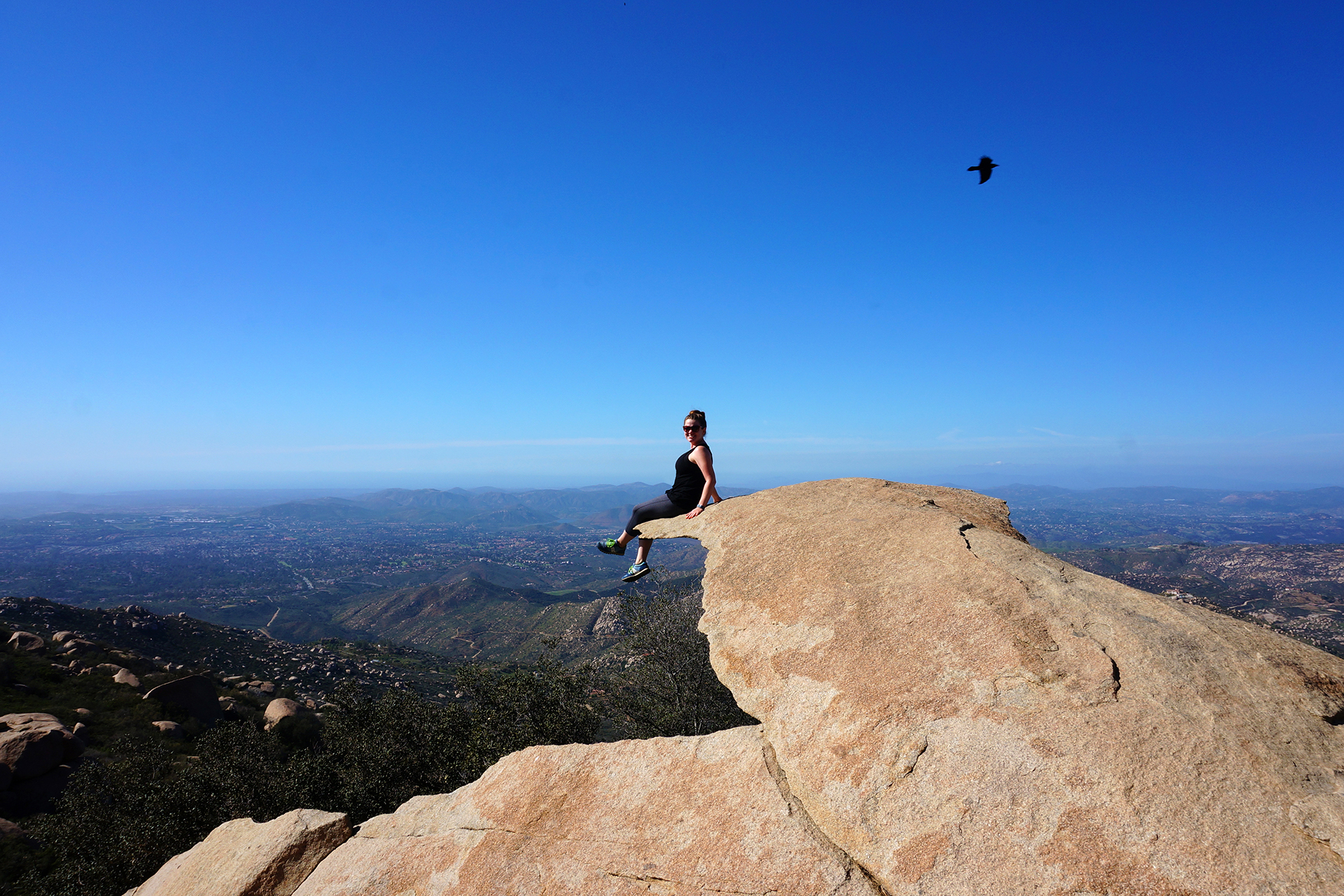
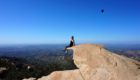
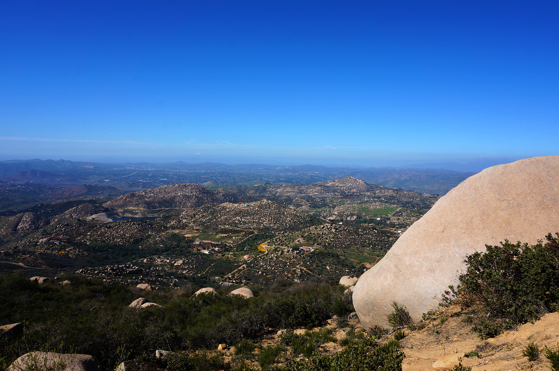
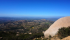
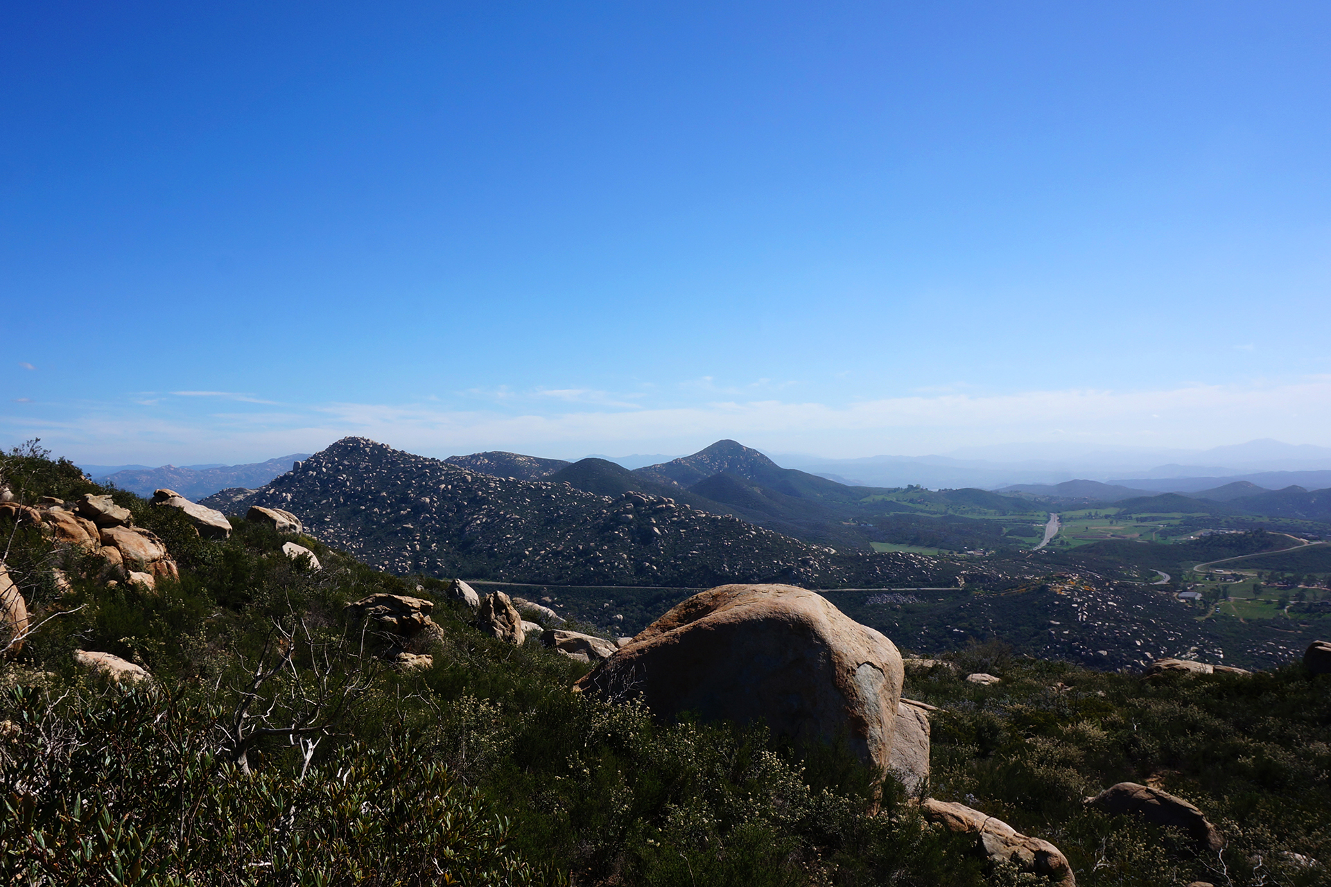
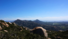
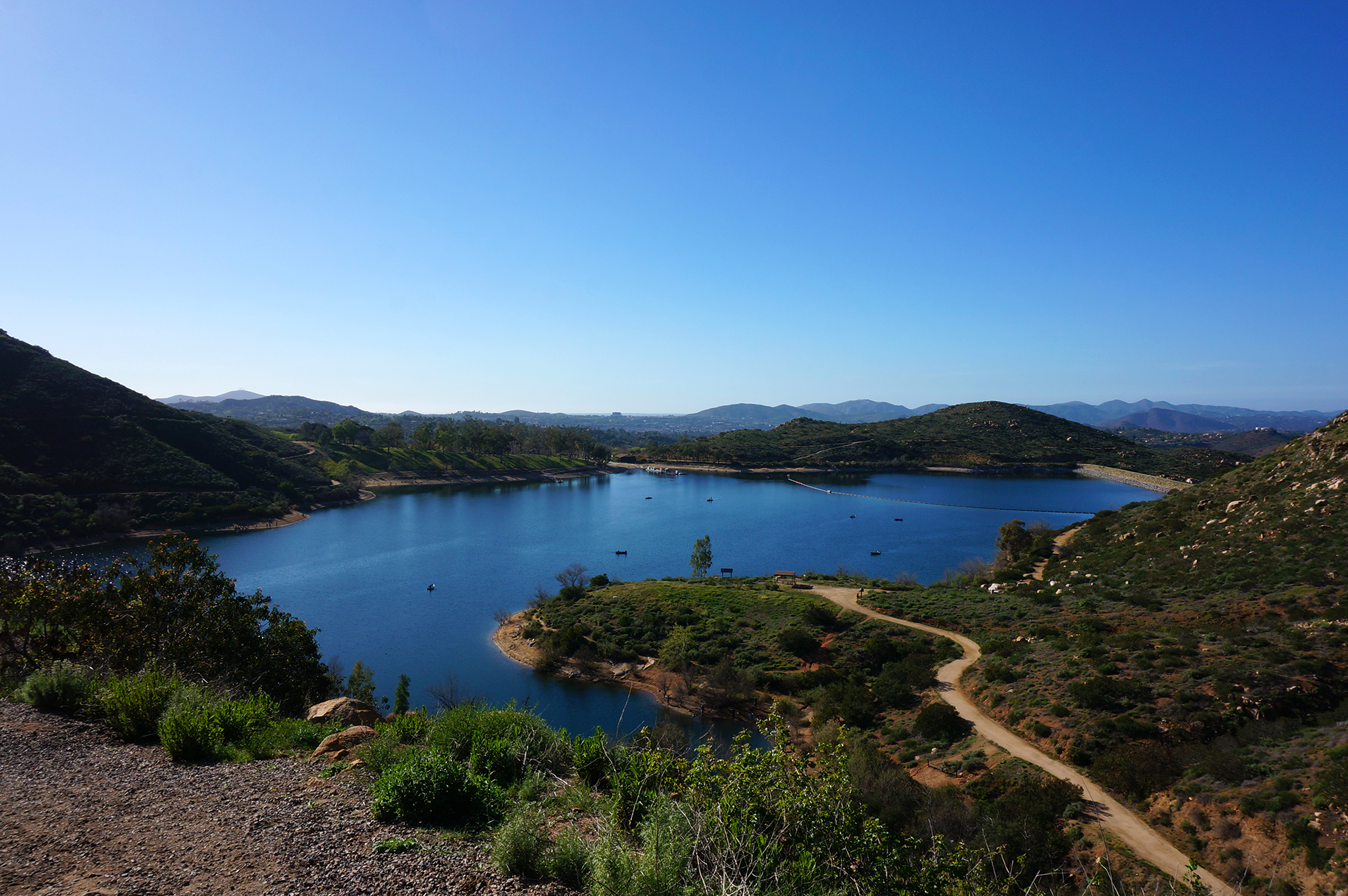
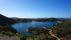
In any event, we certainly weren’t going to brave the crowds of drunk-by-3-p.m. revelers just for the sake of it, so we headed back to our campground.  We ended up hiking around the park we were staying in, and were treated to some lovely views and what appeared to be a whole flock of endangered condors, right by a lake.  (Take that, supposed Pinnacles condor viewing!)

We don’t have pictures, but it was fun to watch them swooping and circling around us overhead.  Although to be honest, there were some moments when we thought they looked very curious as to whether we might be food.  In any event, we’re grateful for and really enjoy these kinds of random nature experiences.  It’s one of those things we always felt was missing in New York City.

Roadtrip Status

Still alive?  Check.

Where are you now?  Heading out of Moab, Utah, for Cortez, Colorado, and Mesa Verde National Park.

Next location?  Montrose, Colorado, to see the Black Canyon of the Gunnison.

Follow Us On Social Media

FacebooktwitterinstagramFacebooktwitterinstagram

Latest Posts

1

Week 37.1: Cruising on Highway 1

After some exhilarating hiking at Pinnacles National Park, we headed north for a quick stopover in Monterey, California.  The distance wasn’t far, but getting there required about fifteen miles driving on Route 1, a scenic highway notorious for its cliff-side curves.  Luckily, the section we drove in the RV was pretty straightforward, an especially fortunate fact given that wind was gusting the entire time.

If you’ve ever seen the extremely boxy profile of our RV, you might not be surprised to learn that driving it in the wind is a little like piloting a sailboat with an engine.  We battened down our hatches, however, and arrived at Monterey for a weekend that… turned out to be drenched with rain.

We used the one break in the storm for a trip down to Big Sur, described below.  Otherwise, we didn’t have a chance to do much sightseeing – the most exciting thing we did in Monterey was get some new hiking gear at REI.  (Worth it!)

Scenic Drive

With our in-town options washed away, we spent our few precious sunlight hours driving down to Big Sur, a heavily forested coastal area accessible only by Route 1.  The term “Big Sur” encompasses several state parks and a national forest, but it is mostly known for spectacular driving, hiking, and coastal views.

We’re happy to report that Big Sur did not disappoint.  The stretch of Route 1 we drove on with our RV was pretty milquetoast, wind aside, but the drive from Monterey to Big Sur is anything but.  The road winds its way around gorgeous coastal cliffs, and while it can be quite curvy, it never felt unsafe.  The scenery was more than worth it, with jaw-dropping views of mountains meeting the ocean that are second only to those found in Acadia National Park.

A particular highlight was Bixby Bridge.  As stunning is it was full of selfie takers.

That said, while the bridge is cool, few places on Earth can match the surreal beauty of our next stop.  At McWay Falls, a waterfall drops down 80 feet onto a pristine ocean beach.  Unfortunately, you can’t actually get down to the beach, but the view is amazing nonetheless.

Even cooler?  Prior to the land being gifted to the state, people lived in a house where that photo was taken.  Imagine that as your backyard!

We Made A Huge Mistake

Our final destination on Route 1 was Julia Pfeiffer Burns State Park, where we hiked the Ewoldsen Trail.  Recommended by several websites, it was definitely a nice hike, but it turned out to be a lot more, well, grueling than we expected.  We expected a quick four-mile loop, and instead got something like six, with a total elevation gain of more than 2,000 feet – more than the highest hikes at some national parks!

But we made it, and we have the pictures to prove it.  This was our first-ever visit to a redwood forest, and we were amazed at the size of some of the trees.  As we later learned, however, the trees in Big Sur are almost all “new-growth,” i.e., cut down by settlers sometime in the 1800s and since regrown.  The really big trees are much, much older; for California redwoods, a 200 year old, 150+ foot tall tree is basically just a baby.

Don’t worry.  The adults are coming up soon.

Roadtrip Status

Still alive?  Check.

Where are you now? Moab, Utah.  So hot right now!

Next location?  Mo’ Moab, at least for a bit.

Follow Us On Social Media

FacebooktwitterinstagramFacebooktwitterinstagram

Latest Posts

1

Week 37: Pinnacles of Hiking

After a wet week in Morro Bay, we headed up the California coast on Highway 101.  Our destination was the 59th and newest national park, a place that most people probably haven’t even heard of: Pinnacles National Park.

Spoiler alert:  It’s awesome.

Exactly Like The Stone Age

Pinnacles is more or less in the center of California, fairly close to a lot of population centers, but it felt very remote.  Highway 101 is about a half-hour away, connected by beautiful, curvy roads that might have been our favorite RV driving of the entire trip.  Our campground at the park had electric hookups, which is somewhat rare and very welcome for a National Park, and it was spacious and empty.

The one drawback – if it is a drawback – is that Pinnacles has no cell service whatsoever.  We’ve stayed in some fairly remote places, but the Internet blackout at Pinnacles was the most complete yet.  Even Death Valley and Big Bend had service sometimes.  The lack of Internet terrified us at first, but to be honest, it was actually kind of nice.  It’s so rare to be able to silence the outside world completely, and we found that not having the Internet as a time-waster made us incredibly productive.

In three days, we wrote six blog posts, deep-cleaned our living space, made a video tour of our RV, and went on two mind-blowing hikes.  Incidentally, we got about 95% of the way through editing that video tour, but then we got our Internet back, and never finished.  There is probably a lesson to be learn-

ooh, Facebook notification!  Better check that out.

To The Batcave!

The primary thing to do at Pinnacles is hike.  The park area is fairly small, so unlike most of the national parks we have visited, we actually got to see most of it.  On our first day, we hiked down to some talus caves, which are essentially canyons that have been roofed over, incompletely, by boulders.  While some sunlight enters the caves through cracks, other places are completely dark. Bats apparently love them.

The talus caves at Pinnacles blew us away.  They were too dark for good pictures, so here’s what it was like: we were completely alone inside the caves (it was a weekday afternoon), hiking over and through a swollen stream that ran down the center of the trail.  The dim, inconsistent sunlight, along with our dim, inconsistent flashlights, created dramatic shadows that jumped and flickered as we went deeper into the cave.  We heard – and felt – a roaring waterfall, hidden in the darkness, glimpsed only through the occasional beam of illumination.  It was wet, disorienting, and utterly amazing.

We climbed a narrow metal staircase alongside the waterfall and emerged, blinking, into the sunlight.  The wet and wild caves receded, and we continued on.  Soon, we found ourselves walking an ancient stone stairway, underneath a boulder…

… alongside another waterfall – and yes, it was as awesome as that sounds.

There was a lot more, including beautiful views of a reservoir and some adventurous cliff-side photo-taking, but no need to type it out.  Take a look at the pics below.

The Pinnacle of Pinnacles

After exploring the talus caves, we figured things couldn’t get any better, but we were wrong.  The next day, we embarked on a long hike through the center of Pinnacles National Park, walking the top of a ridgeline for miles.  It was definitely a tough hike, but the views were staggering.

The beginning of the hike switchbacked up a lush mountain trail, where we caught views of the rocky peak that we would soon be hiking along. The sky was ridiculously blue, the grass was super green, and there were pretty wildflowers everywhere.

Eventually we reached the top, and enjoyed views in every direction from the ridgeline.  Continuing on, we came to our favorite part, the High Peaks section.  The trail here featured iron bar ladders, narrow pathways, and tiny, hand-carved stone steps.  These are fun hiking features in general, but on the top of Pinnacles, you navigate them just a few feet from thousands-foot high cliffs.  With the wind blowing like crazy, it definitely got our blood pumping!  But we’re all about adventure, and friends, it doesn’t get much more adventurous than this.

Definitely one of our favorite hikes of all time.

Flora and Fauna

Two final things before we sign off.  First, Pinnacles is known as an endangered condor nesting ground / sanctuary, and birdwatchers were extremely common throughout the park, excitedly binocularing the birds soaring around overhead.  That’s all fine, but you know what?  We saw about a million condors while on the West Coast, and we saw them absolutely everywhere, except at Pinnacles!  Weird.

Second, there are some really big pinecones at Pinnacles.

Roadtrip Status

Still alive?  Check.

Where are you now?  Moab, Utah, getting “caught up” on our blog posts.

Next location?  We had to give up on our plans to see Monument Valley, where the Westerns were won, due to extreme heat, so we’re just going to chill here for a few more days.

Follow Us On Social Media

FacebooktwitterinstagramFacebooktwitterinstagram

Latest Posts

1

Weeks 33-34: Swooning Over San Diego

We enjoyed our two weeks in the Los Angeles area, but although the weather is great and there’s tons to do, the traffic is inhumane.  As we said in our blog post / rant, it doesn’t just make it hard to get around, it turns people into animals, and animals into… well, they stay animals, actually.  But they probably hate the traffic too.

So we headed south of LA, to a place with even better weather and a much more relaxed state of mind:  “San Diego.”  We may never know what it means, but we learned what it represents:  an awesome city with cool people and the best freaking weather ever.

Fair warning, friends… we may move there.

That Weather

As you can see above, when you talk about LA, you end up talking about traffic.  (This is the royal “you,” of course.)  Well, when you talk about San Diego, you end up talking about weather.  We originally planned to stay for 1 week, but after two days of being kissed by God, we immediately added on another week.  And this was in February!

If you’ve never been to San Diego, here’s what it was like.  We would wonder to ourselves, “I wonder what it’s like outside today?”  Then we’d step outside, and no matter what time it was, or whether we were wearing clothes, or violating public indecency laws, the answer was always: “perfect.”  Not too hot, not too cold.  It’s just always perfect out, all the time, always.  Think 75 degrees high, maybe 60 degrees low.  And it almost never rains – it’s rarely even cloudy! – so every day just rocks.

It was so, so hard to leave.

Food & Drink

Beyond the weather, San Diego is known for having tons of great restaurants and breweries, and it did not disappoint in that regard.  We visited the downtown Gaslamp Quarter, and enjoyed some delicious food and drink served with a side of people-watching.  We also met up with Heather’s friend Alena, who happened to be visiting for the weekend, at the enormous Stone brewery.  (It’s actually one of several!)  While some sort of blizzard was hitting the Northeast, we were eating our dinner on the outdoor patio, and arguing over whether that was really Slash at the other table.  Take that, former home!

Sorry Northeast, that was a little bit of a cheap shot.  We just really liked it in San Diego.  If it makes you feel better, it wasn’t really him, just some guy in a Slash costume.

A Whale’s Viewing Station

Cabrillo National Monument is at the end of a peninsula that juts out into San Diego’s harbor, and it offers gorgeous views of the city and the ocean.  From the promontory cliffs, we were even able to see whales in the ocean below.  The whales can be spotted by the circular bubbles that rise to the surface when they exhale below the waves, which is pretty cool.

Less cool were the people at the viewing area, who seemed compelled to announce every bubble ring they saw, loudly, to the entire group.  “There’s one!”  “Over there!”  “There’s one!”  “Over there!”  “There’s one!”

*shudder*

After a while of that, we escaped the viewing party and headed over to an old lighthouse and museum at the monument.  They were fine, notable mainly for the in-depth explanations in the exhibits.  (Not too many museums frequented by children provide the physics equations for refracting light through a lens!)  We then took a short hike down along the waterfront, passing the spot where the US military hid a camouflaged spotlight and gun battery during World War II.  It rolled in and out of a cave on rails, just like the obese during the 19th century.  [Ed. note: that is not at all what happened in the 19th century.]

History is fun. We also took a walk down to the tide pools around low tide. We didn’t find much sea life, but the rocky shoreline was pretty neat.

Hike Life

We’ve been hiking a lot on this trip, trying to work off the pounds and urbanity of New York City.  In San Diego, we did quite a few hikes, including several that started from our campground (a county park).  One of our favorites was at Torrey Pines, where we trekked up a bluff along the ocean for some beautiful views, some of which included a randomly vibrant patch of purple wildflowers.  (Spring comes early to San Diego.)  We then headed down to the beach and looped back, and although we were fearful of repeating our Cape Cod death march, our worries were unfounded.  Hardly anybody died this time.

The crown jewel hike, however, was Potato Chip Rock.  This was a wicked climb up Mount Woodson, under a blazing sun with no shade*, roughly 8 miles round-trip with a 2000 foot elevation gain.  The mountain is about 30 miles inland from the coast towards the desert, so it was noticeably hotter than San Diego proper.  Doesn’t sound like much fun, and to be honest, it wasn’t – until we got to the top.

Where it was all so. worth. it.

Potato Chip Rock is basically a sliver of stone sticking out from the peak of the mountain, shaped a little like a crescent potato chip (think Pringles).  It’s not as dangerous as it looks in pictures – the rock looks thin, but it’s pretty solid.  You can jump up and down on it as much as you want… until the day that changes, of course.

As for the cliff… well, there is definitely a cliff there.  But there is a little bit of ground right under the rock, so falling off wouldn’t kill you.  (The roll afterwards probably would, though.)  I (Jake) definitely get a bit nervous around heights, and I made it out there just fine.

That said, as a gentleman, I let Heather go first.

Animal Crossing

One of the frequently recommended places to visit in San Diego is La Jolla, a posh beach town.  We made it there for sunset and took a few snaps, along with about 1,000,000 other people.  It was another good spot for people watching – we particularly enjoyed the person using a drone to shoot engagement pictures from an otherwise-impossible angle.

Unfortunately, the animal watching wasn’t as much fun as the people.  The main attraction is supposed to be seals, who lounge around on the beach, fish, and model for the selfies of adventurous tourists.  But when we were there, “lounging” had seemingly progressed to “comatose” – only one of them was even moving, and we are pretty sure that was more of a gravity-assisted slide.

Far be it for us to criticize a lazy afternoon, but it was a bit of a letdown.  Luckily, we had another animal outing planned: a trip to the famous San Diego Zoo!

Yes, it is kind of brutally touristy, but it was still a fun way to spend a day.  The enclosures are large and the animals seem reasonably happy, which is important.  Plus, all the megafauna were there – big cats, elephants, Galapagos tortoises, and more apes and monkeys than you can shake a banana at.

We did see the famous giant pandas, but we have to say, it’s nothing you need to see before you die.  The scene reminded us of seeing the Mona Lisa – way too many people crammed into a tiny space, all to see something that’s a lot less cool in person than you’d imagine.

And the selfies!  Good god, the selfies.

Also, to get onto our soapbox for a moment, giant pandas are pretty useless animals.  They can barely keep themselves alive under optimal conditions, they are terrible at reproducing, and China trades on their popularity by bartering them for things that are objectively way more valuable – like URANIUM.  Frankly, if giant pandas weren’t cute, they’d have been ended long ago… although to be fair, that’s true of newborns, puppies, and kittens.

All of which is a thinly disguised excuse to link you to a video about babies playing with puppies and kittens.  Enjoy.

Roadtrip Status

Still alive?  Check.

Where are you now?  Near Salt Lake City, Utah, where we accidentally booked a campground in the beautiful but freezing mountains.  Whoops!

Next location?  About to start our grand tour of southern Utah, which involves something like 8 national parks in three weeks.  You may want to start getting jealous now to save time.

Follow Us On Social Media

FacebooktwitterinstagramFacebooktwitterinstagram

Latest Posts

1

Week 8.2: Maine, Part 2: The ReMaineder

Hey friends!  We’re back with the rest of our trip through Maine, or as some prefer to call it, “The L.L. Bean State.”  After parting company with the Browns, we headed up the coast towards Acadia National Park.  Acadia is ridiculously photogenic, so brace yourself: a million photos are loading. We hope you have a decent internet speed.

The Road to Acadia

Before we get to the eye candy, let’s talk about the drive through Maine and RV driving routes.  We quickly discovered on our trip that while we all know and love Google Maps, it isn’t that great for RV driving. Google always wants to send us down impossibly narrow or hilly roads instead of major highways, just to save about 16 seconds.  It also has no mode or understanding of RV- (and truck-) specific problems like restricted roads, and once attempted to send us under a railroad bridge that would have sheared the top off of our motorhome.  Luckily, we noticed the low height of the bridge in time, and were able to quickly change course.  (If you’re curious, our RV is 11’6″, which is fine for almost all bridges.)

Losing the roof to our motorhome would obviously not be ideal, especially since that’s where the air conditioner lives.  We frequently use an alternative app called RV Smart Route, which has a database of low bridges, restricted roadways, and even narrow or hilly roads, so it plots safe courses.  Unfortunately, it doesn’t route around traffic, and it can sometimes be way too conservative – it will make you drive 2 hours out of the way to avoid 30 seconds of unpleasantness, for example.  So if the RV route looks absurd, we’ll switch to Google Maps.

All of this is a lead-up to how we found ourselves ignoring RV Smart Route and listening to Google Maps on the way to Acadia, a decision which directly contributed to hurtling around narrow, twisting, mountainous 1-lane roads in the rain.  In retrospect, maybe we should have taken the much safer recommended route – but hey, we saved sixteen seconds!

Acadia National Park

Acadia National Park has been one of the coolest places we’ve seen on our trip so far. Acadia is a huge park built on land donated by the Rockefellers, and it is like a ski resort for hiking and biking – there are trails everywhere, heading up some of the numerous small mountains or through pristine wilderness, and they all connect to each other. There is also a parkway which goes around the edge of the park, with beautiful vistas and picnic areas to pull off.  We were confused by this at the time, but have since found quite a few “national parks” that are really just roads; it’s such a good thing America doesn’t have a problem with obesity.

We stayed on Mt. Desert Island, where Acadia is located, at Seawall Campground, which is on the very southern edge of the island.  It is near an eponymous sea wall, which could be pretty except for the fact that it is almost always shrouded in fog.  Of course, the only time the fog lifted was when we were headed somewhere else and had no time to stop.  Ah well – at least we were able to take some album cover style pictures!  Now we just need to figure out how to make an album…

Acadia Loop Road

The weather was glorious for our first full day in Acadia, which we mostly spent driving around on the loop road and taking in all the sights.  There are miles and miles of (extremely rocky) coastline, mountains, a nature center, a carriage house (?), and just so many pretty views.  We took about 400 pictures, but Heather heroically narrowed them down to just the below gallery for your viewing pleasure.

Jordan Pond

After driving the loop road, we went hiking around the crazily picturesque Jordan Pond. Although the Jordan Pond hike is pretty flat, there was a long portion of it that was simply scrambling over rocks, maybe just for the challenge. The other portion of the hike required balancing on a narrow, raised wood platform, which was pretty simple, until you had to pass  hikers coming from the other direction. Our athletic balance beam walking, combined with the sunny, warm weather, resulted in us being pretty sweaty when we finished the 3.3 mile hike, which is perfect because the end of the trail leads to a swanky restaurant.

Now, everything we ever saw about this restaurant, the Jordan Pond Tea House, indicated that there would be popovers and that we could eat them.  So that was our plan: hike trail, eat popovers.  Ingenious in its simplicity, really.  Unfortunately, the popovers were a lie.  Worse, the restaurant was way too fancy for the likes of us, and we and the other gross folks were shooed away to a gift shop selling trail mix and candy bars, and no popovers.

Whatever – we didn’t need your food anyway, Jordan Pond restaurant! (Except the trail mix and candy bars. We bought all of those immediately.)  Jordan Pond pond, you were pretty, so we’re still bros.

The Beehive

On our second day, we decided to tackle the Beehive Trail, which is a moderate-level hike that goes up a mountain using iron rungs, ladders, and even a metal walkway. That was a pretty awesome hike!  Unfortunately, it was insanely foggy, so the normally picturesque views looked like the inside of a cloud. Here’s what it could have looked like, courtesy of Flickr user tourtrophy:

Beehive View

And here’s what it actually looked like:

At least we got some cool action shots (see gallery below).  Incidentally, this all felt pretty badass at the time, until, at the top, we encountered people from the other direction coming down the trail with their dog.  Bringing a dog backwards down the trail definitely seemed like a terrible idea to us given all the metal ladders and rails, but as we watched, the dog trotted past us, casually leaped down about 8 feet onto a narrow rock walkway without slowing down, and then just kept going, around the bend and out of sight.  Well played, dog – THAT was badass.

The Beehive Trail at Acadia – leaving the path is not recommended! #acadia A photo posted by Jake and Heather (@nothingmundane) on

Miscellaneous Acadia Adventures

Included here for the sake of thoroughness, but these items don’t really deserve their own headings.  They were subheading-level adventures, at best.

Bar Harbor The weather was awful again on our third and final day in Acadia, so we traveled into Bar Harbor, the town next to Acadia. Bar Harbor is a cute town, and we had the most incredible lobster bisque of our lives at a local gastropub, the Finback Alehouse. We’re still daydreaming about it. (Their blue label burger and clam chowder were pretty damn good too). We relaxed, drank some beers, and cranked out a blog post. (This one.) There are many worse ways to spend an afternoon.

A Crappy Lighthouse Bass Lighthouse near our campground seemed totally legit:  it was marked on the map, had a big parking lot, and even had restroom facilities.  But it turned out just to be a lighthouse.  You can’t even go inside!  All you can do there is walk up, say some version of “is this it?”, and then wander back to your car, slightly angrier than before.


The kind of day that lighthouses live for. #acadia


A photo posted by Jake and Heather (@nothingmundane) on

Cadillac Mountain

Cadillac Mountain is actually pretty great.  Cadillac is the tallest point in the area, and you can drive or hike up for amazing sunsets.  We drove up, and the view was great, and the sunset as glorious as advertised.  Unfortunately, because we were taking photos directly into the sun, none of our pictures captured it as well as we’d hoped.  Guess you’ll just have to trust us that this was cool.

Freeport

Acadia marked the easternmost point of our epic road trip.  (The northernmost point was a Chipotle we stopped at in Bangor, Maine.) After Acadia, the “real” trip began, where we started traveling to a lot of different places, quickly. We were headed to New Hampshire next, so we stopped for the night in Freeport, Maine, home of the famous and inexplicably huge L.L. Bean Store, which Heather had never seen.

How to describe the Bean store?  Well, first off, imagine a lot of flannel.  No, no, MUCH more than that.  No matter how much you love flannel, you do not love it as much as L.L. Bean does.  Now add in ugly but functional winter boots, a mix of high-end camping and hunting, taxidermied animals, and a trout pond, and make it as big as 5 Wal-Marts.  Then place it in a state so barren of people that the store itself becomes the most interesting thing within 100 miles.

The economics of all of this are highly questionable, but it seems to work for them.  Oh, and there’s a rather large boot.

After paying our respects to the boot, we headed off to meet our friends Matt and Kate for some hiking in New Hampshire.  Stay tuned.

Last Bits

What’s next:  Currently, we are in San Antonio, Texas, hanging out with some friends and rehabbing Jake’s recently (and inexplicably) sprained knee.  We’re headed west to El Paso, with stops currently scheduled for the Caverns at Sonora, Texas, the crazy art town of Marfa, and Big Bend National Park (knee permitting).

Obligatory social media self-promotion:  If you want to follow along and you haven’t yet, please Like us on Facebook and/or follow us on Twitter (@NothingMundane) and/or Instagram (NothingMundane) to make sure you get all the updates.  We are happy to report that doing so is now less likely than ever to result in placement on the no-fly list.

Shamefully missed a prior post?  You can check them out below, as long as you feel appropriately guilty.

.

1