Week 51: Black Canyon of the Gunnison
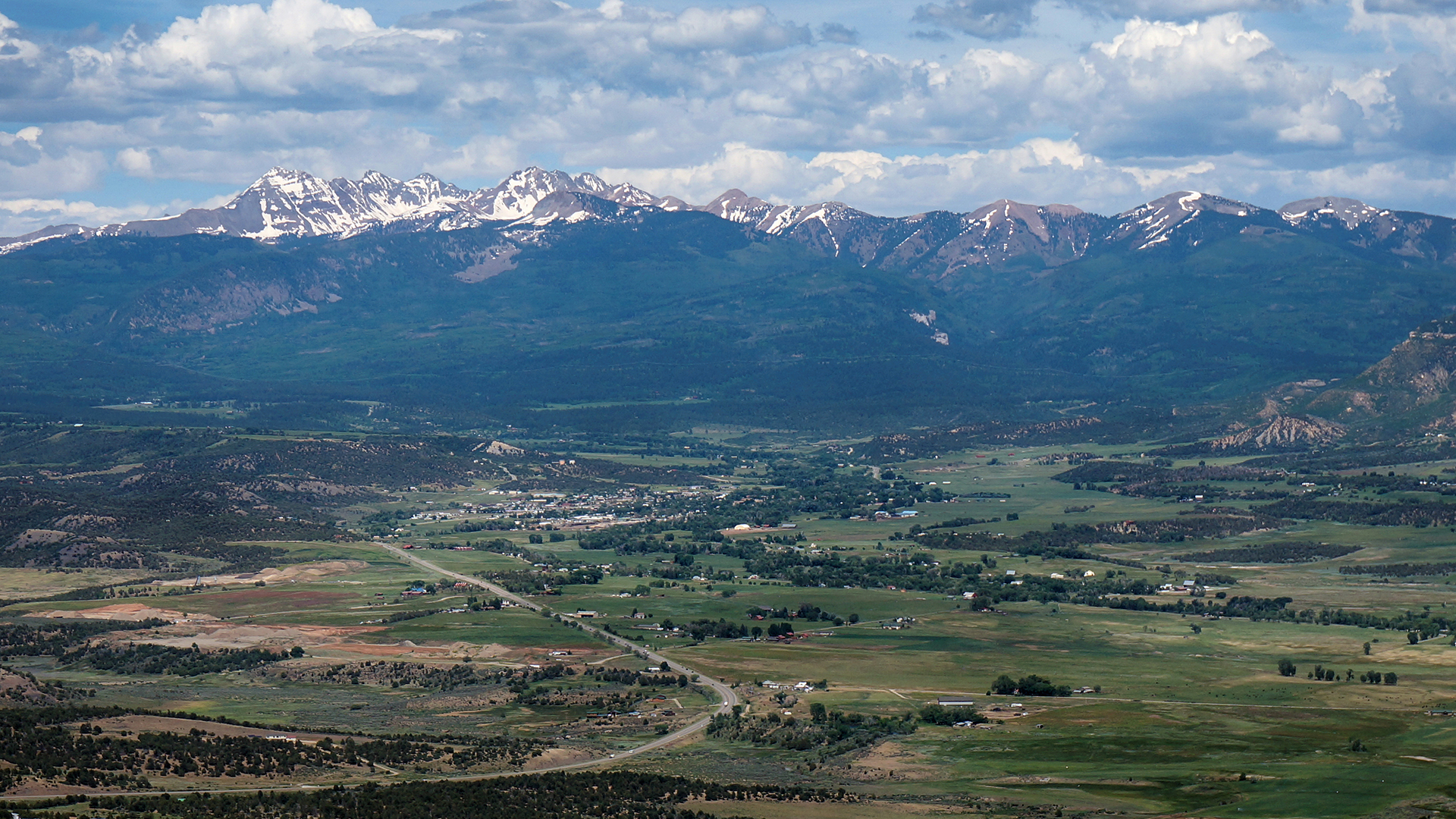
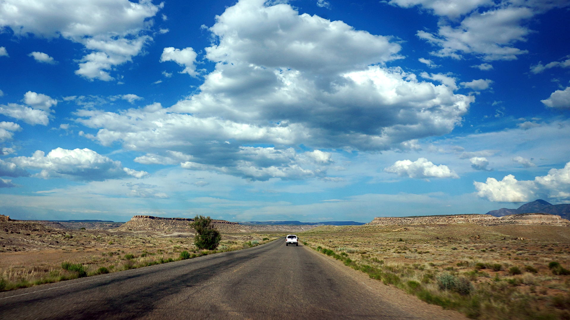
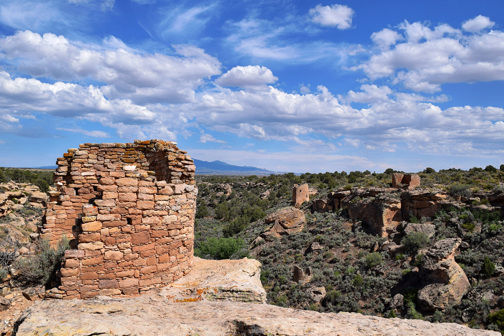
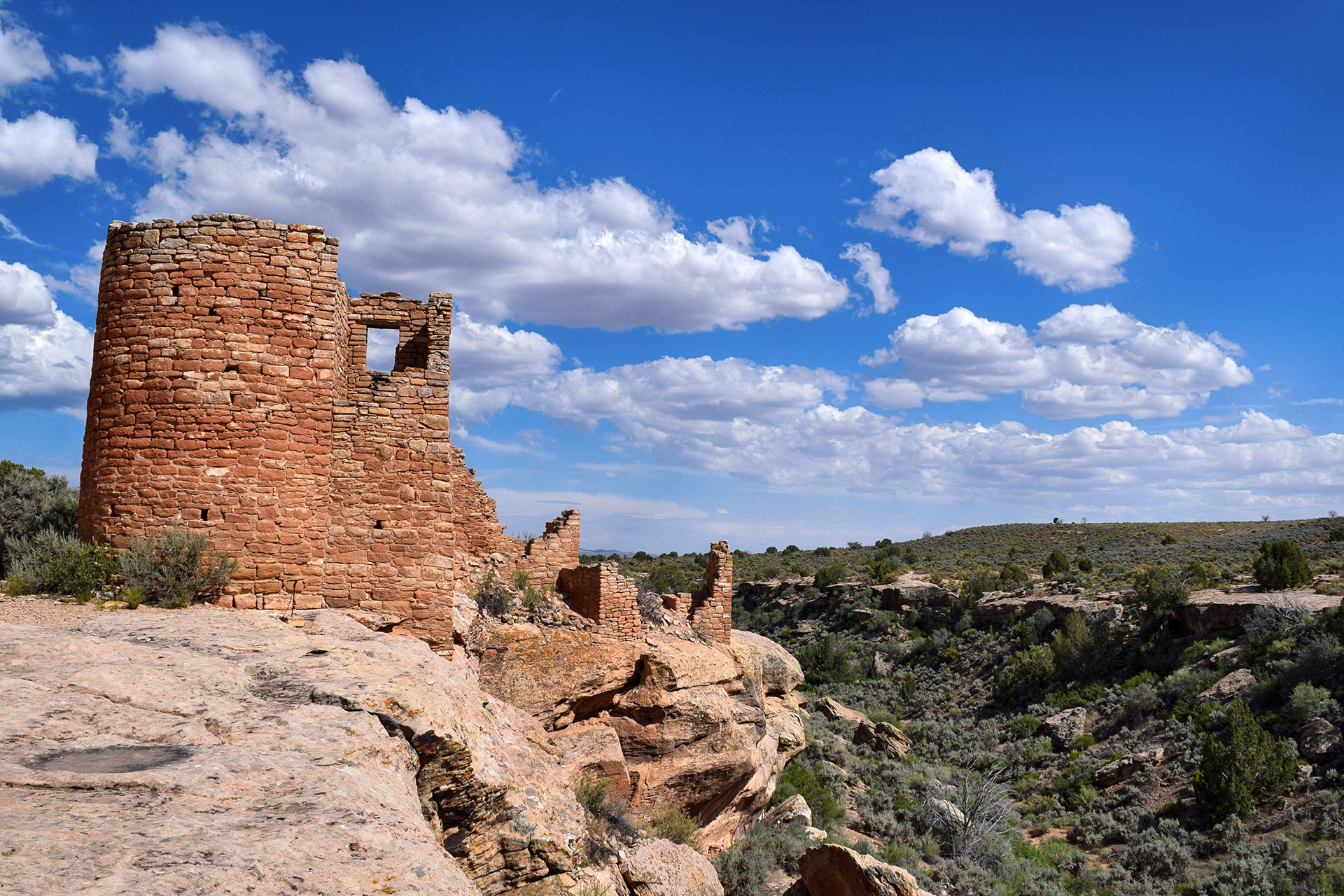
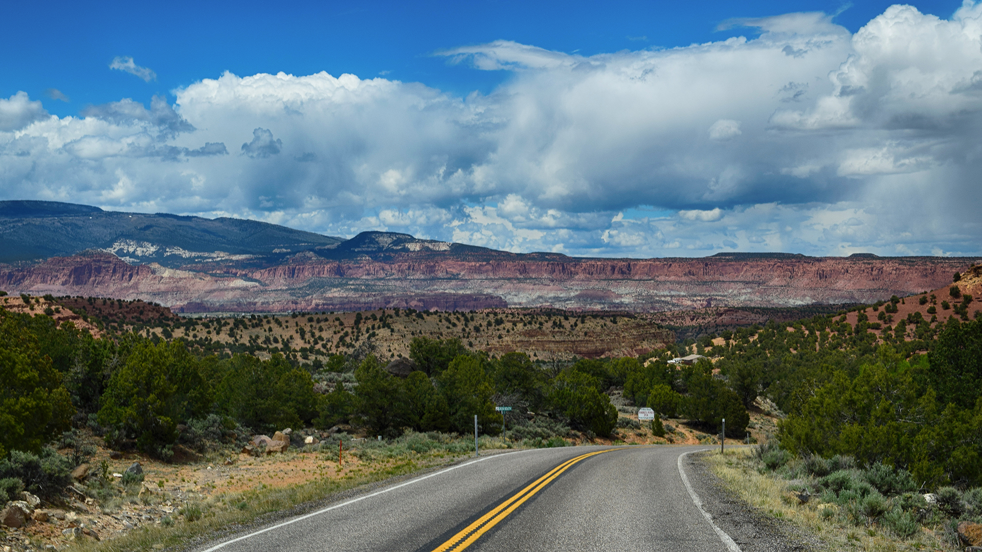
After our short but fascinating visits to Mesa Verde and Hovenweep, we headed northeast through western Colorado to a town called Montrose. This was easier said then done: the high Colorado peaks typically run north-south through the state, but between Cortez and Montrose there is a spur, which is to say, “very high mountain range.” In the spirit of adventure – and after some thorough research – we decided to take the direct-and-scenic route directly through the mountains via Highway 145.
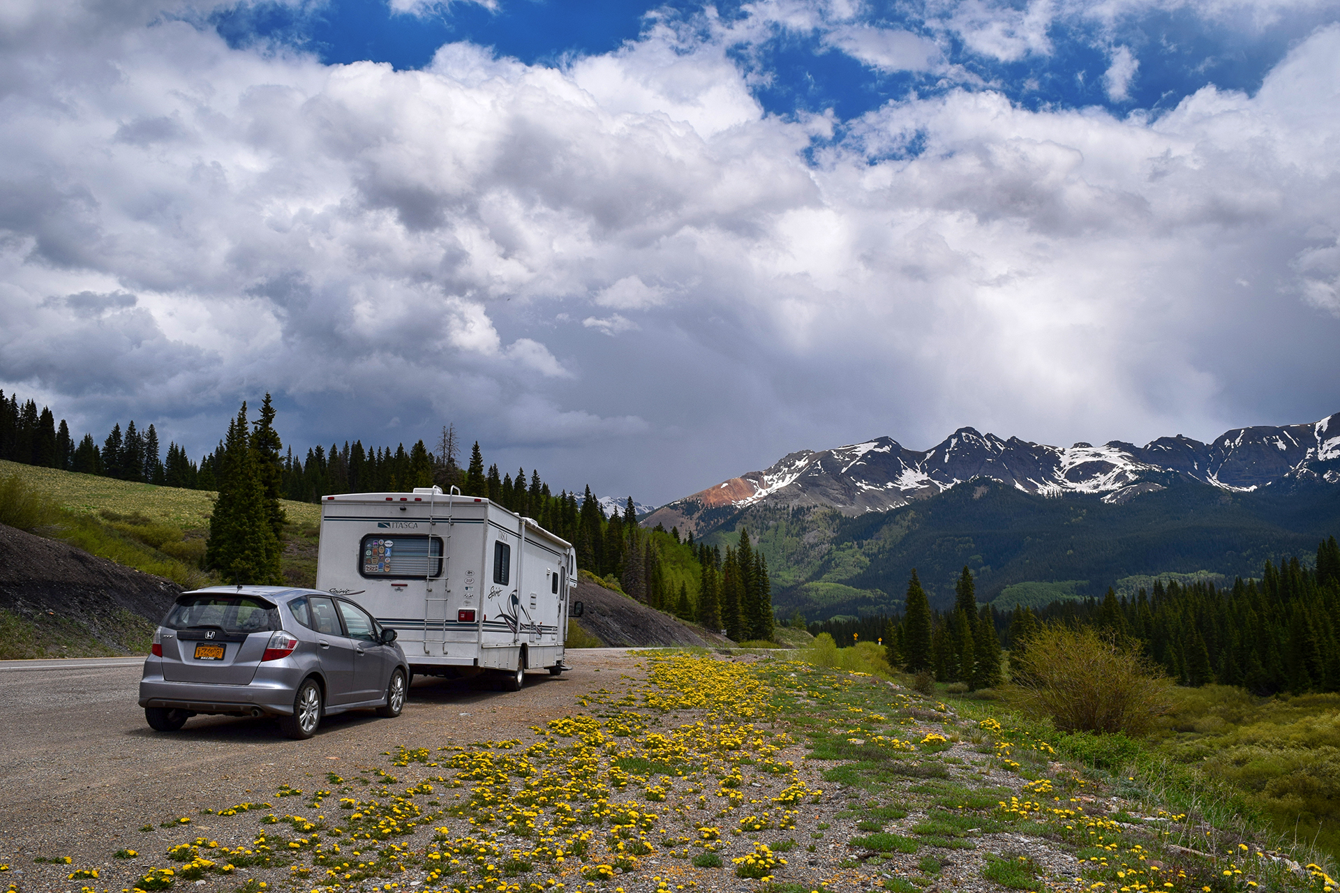
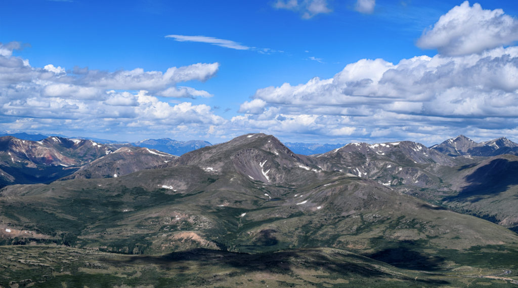
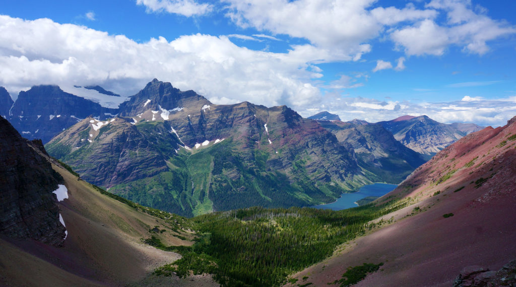
We were a little nervous after our disastrous drive on Utah’s Scenic Highway 12, but Highway 145 was smooth sailing. The views were magnificent the entire way, and when we stopped for a quick picnic lunch at the highest point, Lizard Head Pass, we just had to take a picture. The result was one of our favorites from the trip.
As usual, getting back down from the mountain pass was trickier than getting up, but careful braking and our RV’s extremely non-aerodynamic profile helped us descend safely. We soon made it to the wide-open RV park near Montrose, and if the CVS in Cortez had been exciting, the big-box stores here made us positively giddy. It had been over a month since we had been in any kind of real city (Salt Lake City), and the dusty tourist towns of Moab and Kanab just can’t quite scratch the itch.
We will happily wander for 40 days in the desert, so long as there’s a Target at the end.
The Black Canyon of the Gunnison
We stayed in Montrose to visit the nearby Black Canyon of the Gunnison, a national park with a foreboding name. Although obscure, it turned out to be well worth visiting. The Black Canyon is named because it is so deep and narrow that sunlight almost never reaches the bottom. The deepest spots receive only 33 minutes of sunlight per day.
The “Gunnison” part of the Black Canyon of the Gunnison is a swift-flowing river, and it carved the canyon over the course of millions of years. Unlike the rivers that created most large canyons, however, the Gunnison did not have the luxury of cutting through soft sandstone and limestone. Instead, the Gunnison carved the Black Canyon out of an incredibly hard type of rock called schist.
Because the rock is so hard, it lasts. The oldest schist here is approximately 1.75 billion years old.
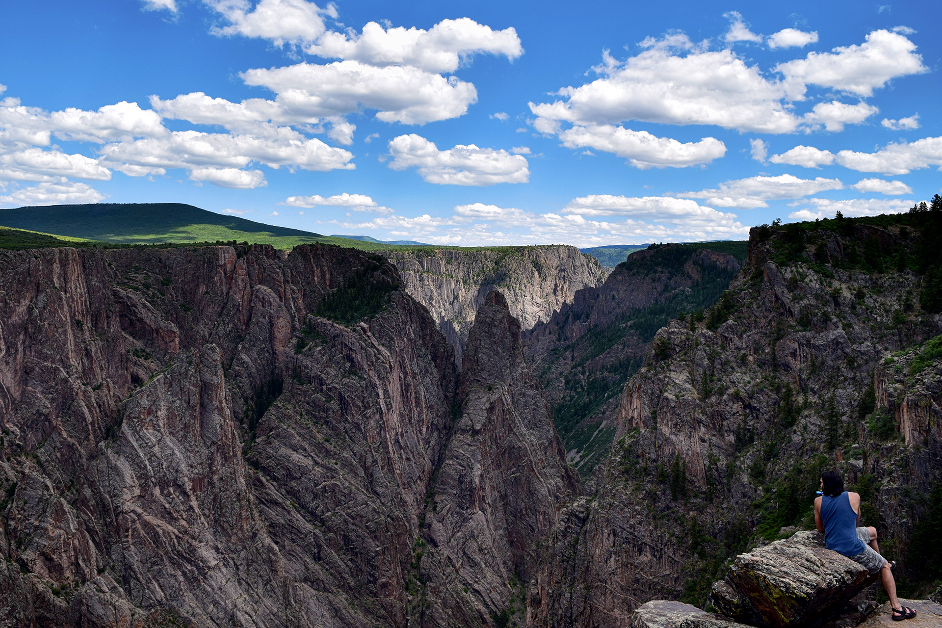
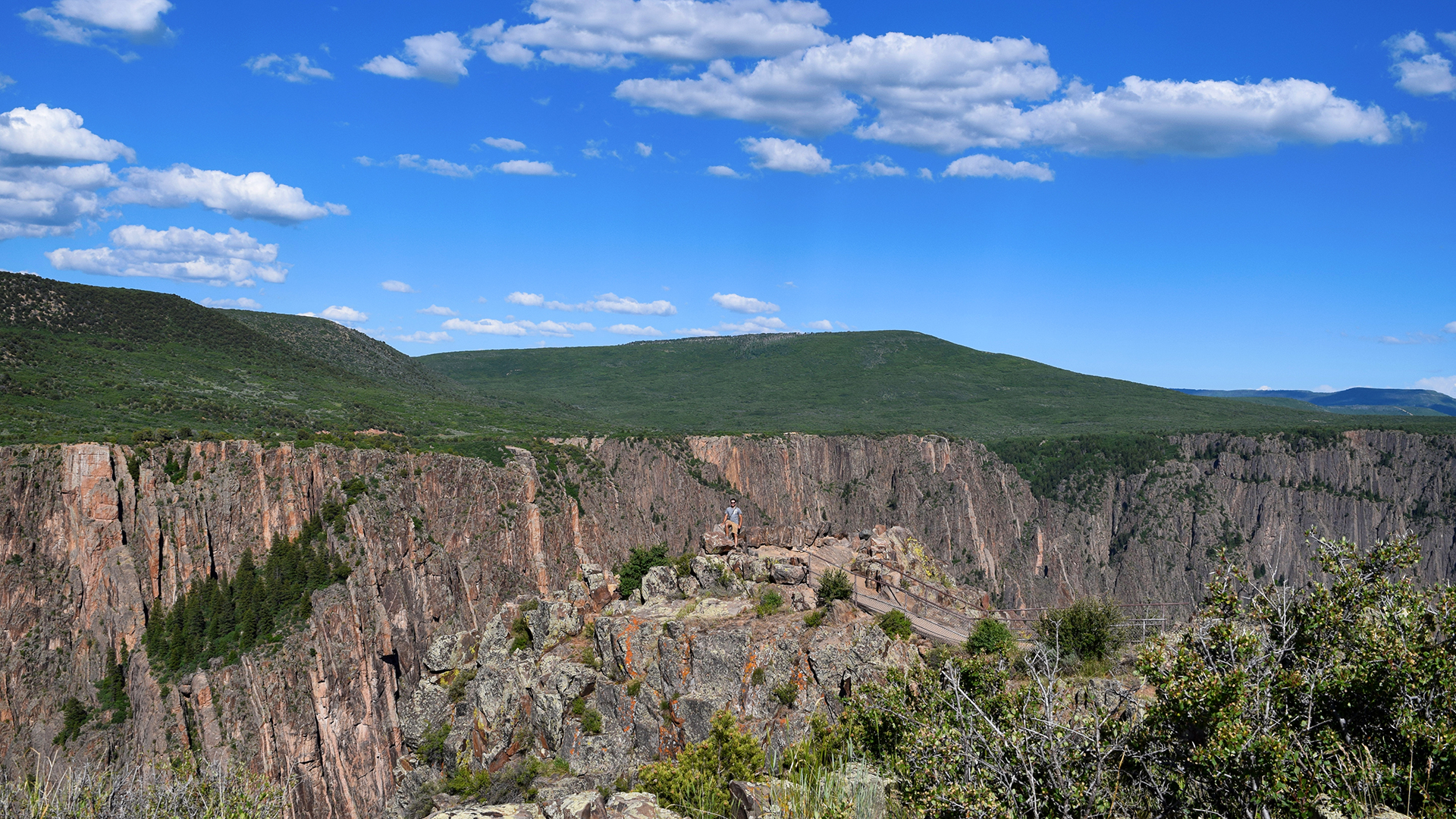
It all adds up to some rather striking views. Can you spy Jake in the picture below?
The only reason the canyon is even possible is because the Gunnison flows with incredible fury during the late spring and summer. At times, the flow rate of the water can exceed 8,000 cubic feet per second. For reference, wading through the famous Narrows at Zion National Park is prohibited as too dangerous if the flow rate surpasses 150 cubic feet per second.
So, yeah. 8,000 cubic feet per second is a lot. Venturing in is not recommended.
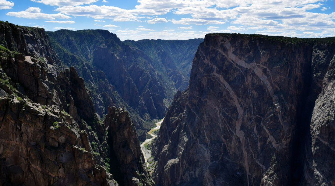
The Black Canyon looked amazing in person, but it’s tough to photograph because the angles are so sharp. It’s all knife edges and sheer cliffs, and the bottom really is dark. On top of that, most of the rock is a uniform dark grey, although here and there it is slashed with beautiful seams (“dikes”) of lighter-colored pegmatite.
There are many, many overlooks, mostly between 100 to 300 yards away from the road (for some reason everything at the Black Canyon is demarcated in yards). As national park completionists, we stopped at every single one, and we’ll just say – 300 yards each way may not sound far, but it adds up to a lot of walking!
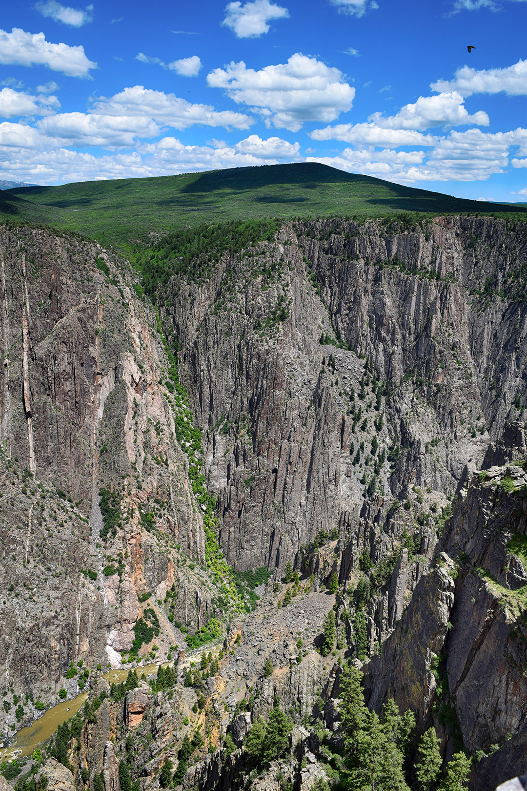
We really enjoyed one overlook near the end where the canyon widened a bit. The cliff wall you can see in these photos is about 2,500 feet high. That’s more than 833 yards!
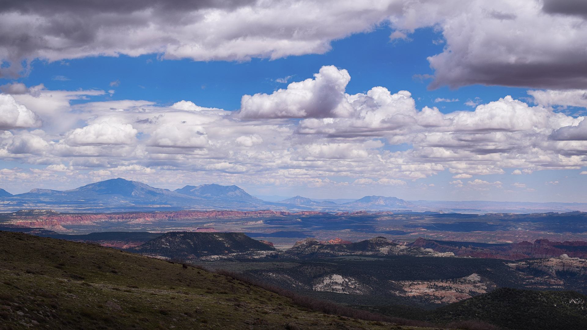
We also took a short but satisfying hike along the outer rim of the canyon. The elevation was high so our breath was short, but the views out over Western Colorado were magnificent.
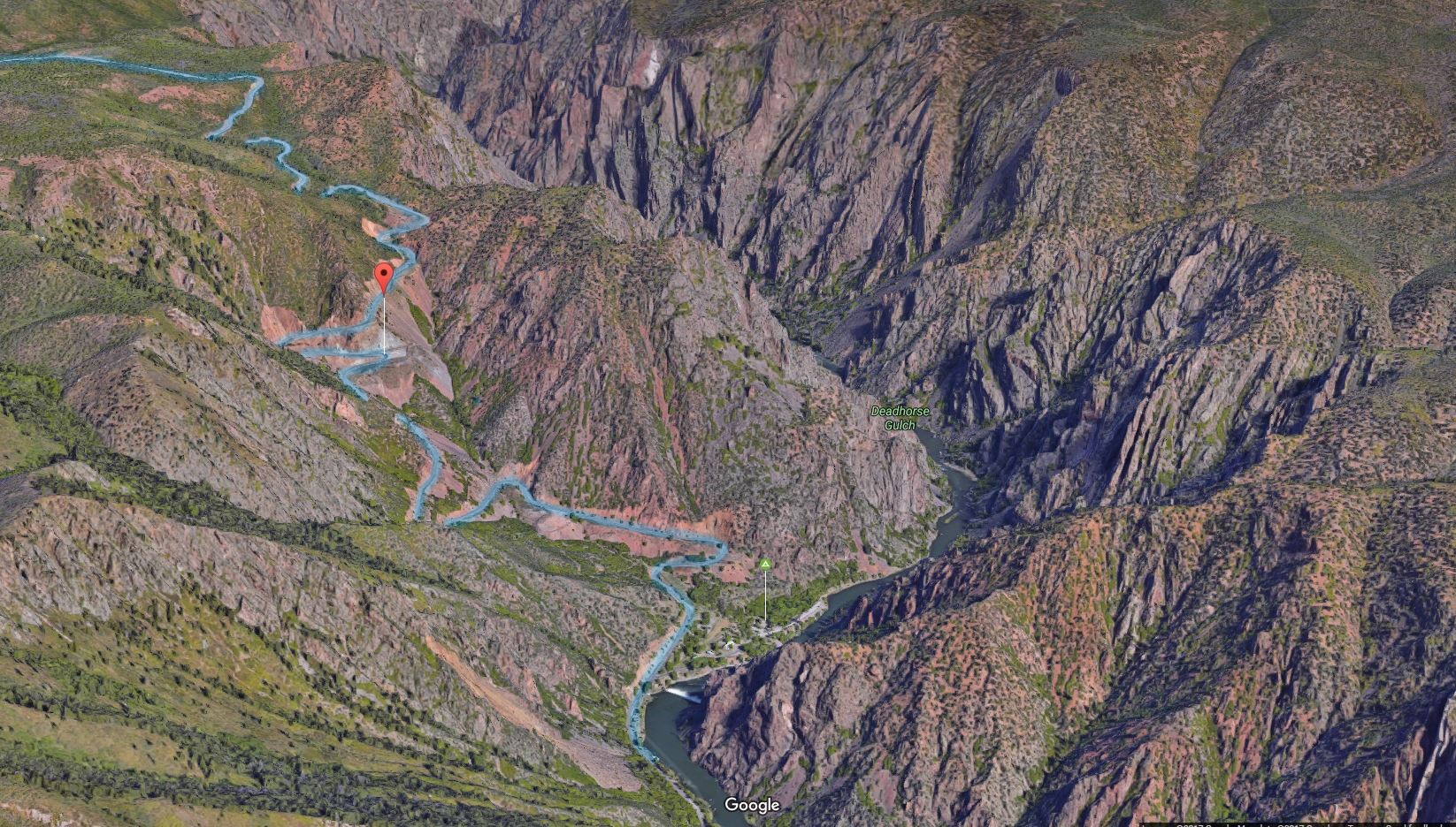
After checking out every overlook, we drove down to the Gunnison river itself. The route there is called East Portal Road, and it is incredibly steep. The road continuously switchbacks, and even so, it descends at a ridiculous 16% grade. That’s far more than you’ll ever see on a highway, but our Fit handled it just fine, albeit only in first gear.
At least we got good gas mileage on the descent!
At the bottom, there was a diversion dam for the Gunnison irrigation tunnel and a tiny information and picnic area. And… nothing else. After poking around for a few minutes, we headed back up East Portal Road disappointedly, apologizing to our Fit the entire way as it churned its way back up the mountain.
This time, our gas mileage wasn’t quite so good.

