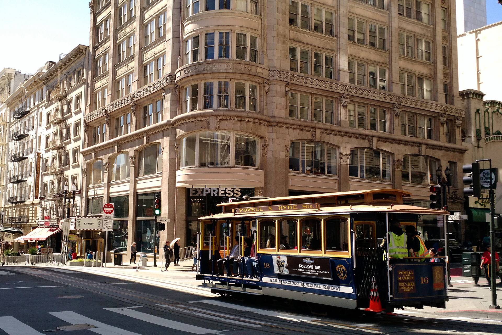
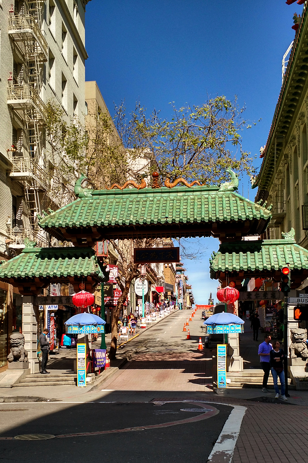
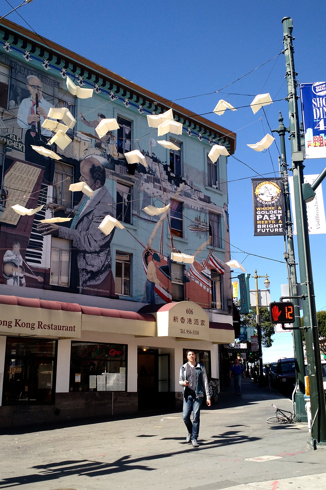
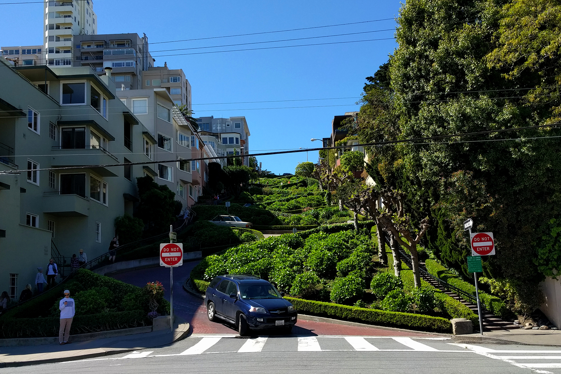
Week 39: Yosemite National Park

After eating our way through San Francisco, we headed back to nature to walk a few pounds off.  Southeast of San Francisco is the famous Yosemite National Park, and we visited for two days in late March.  Although much of the park was still closed due to snow, we loved it there – once we got away from the crowds.

Intro to Yosemite

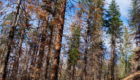
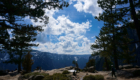
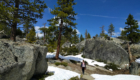
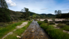
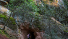
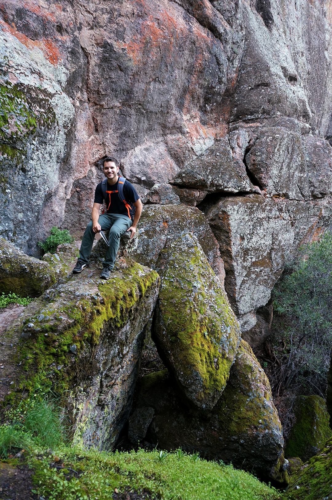
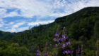
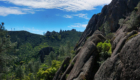
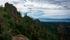
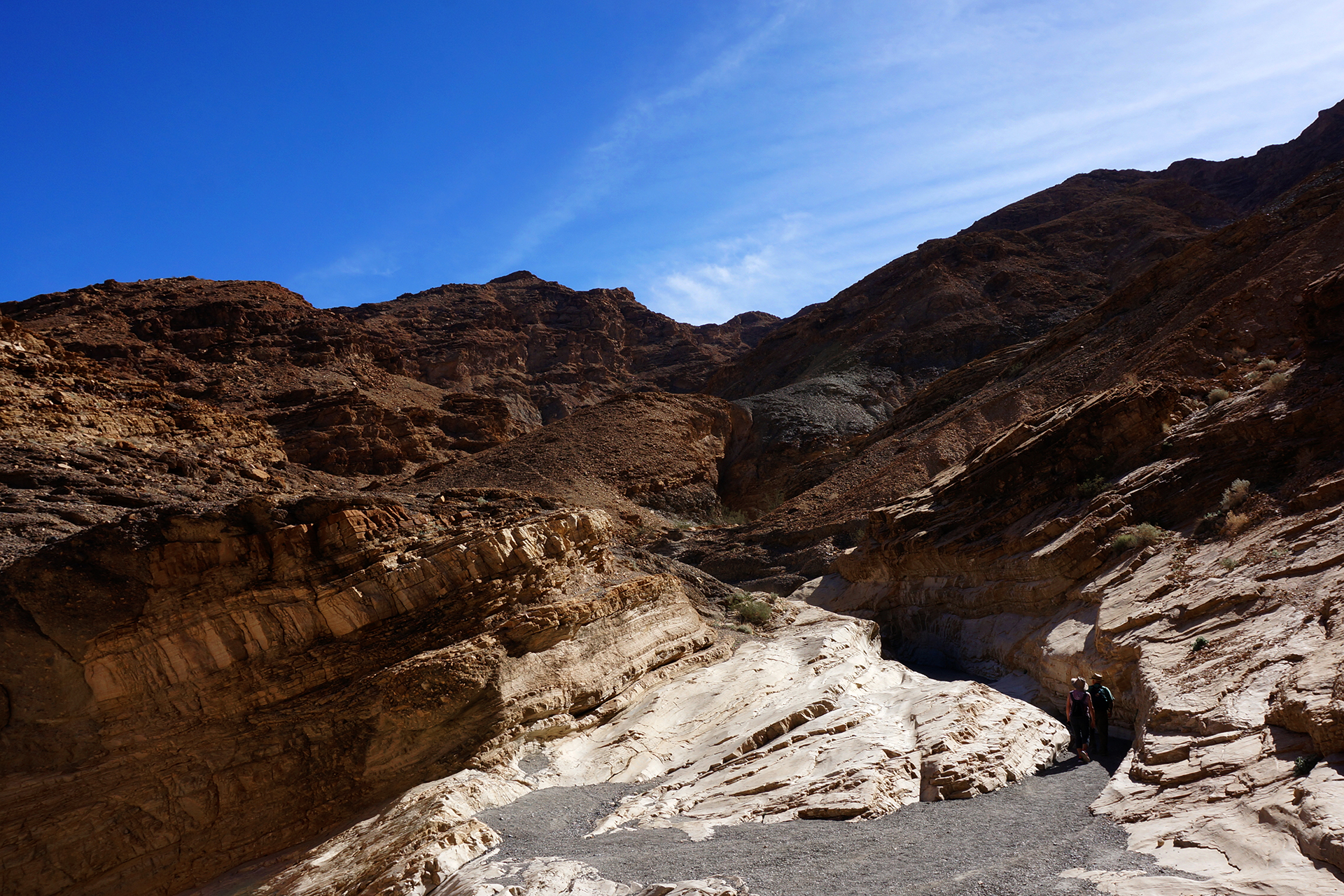
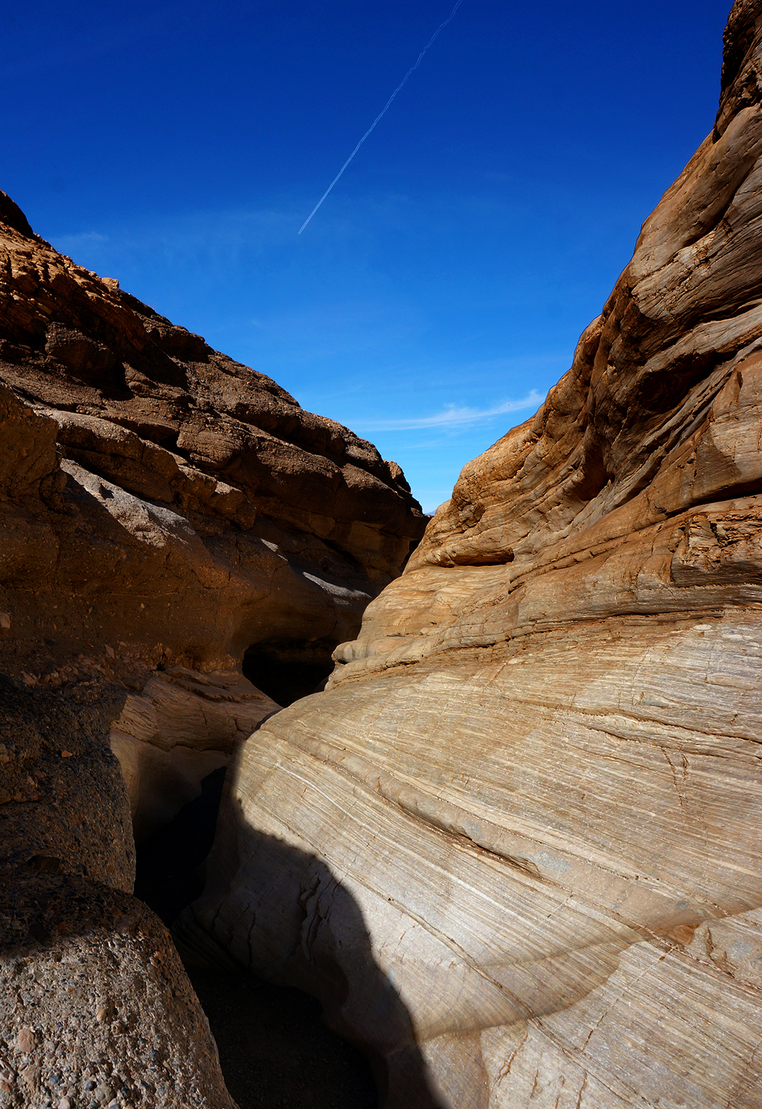
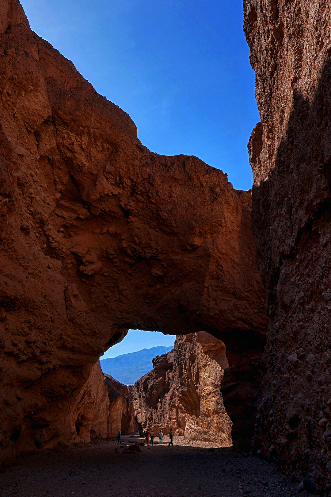
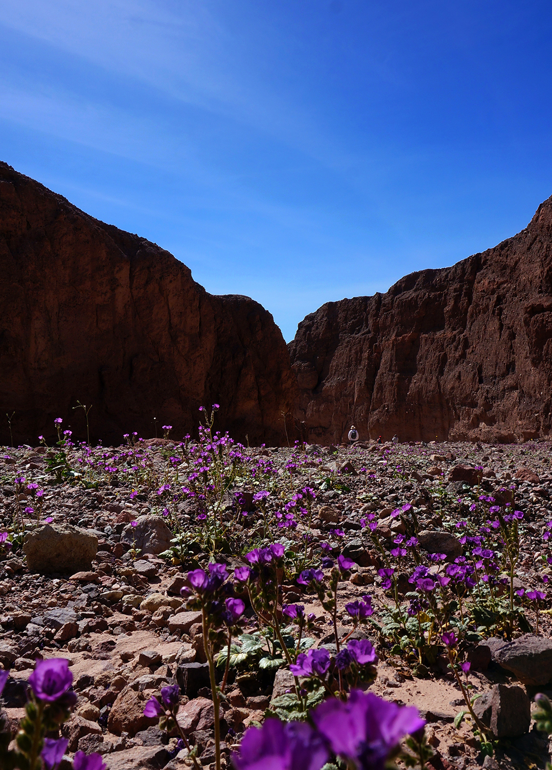
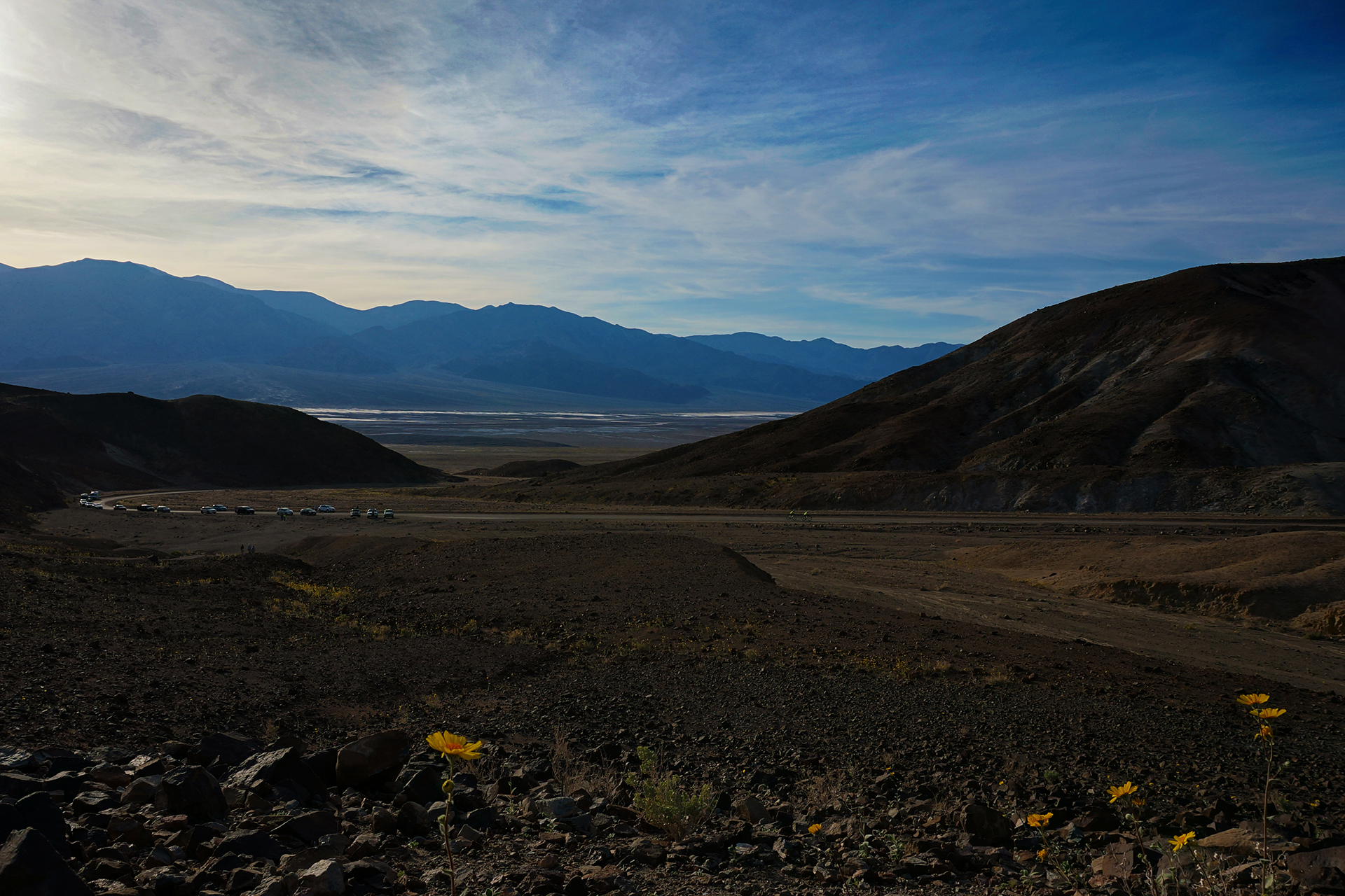
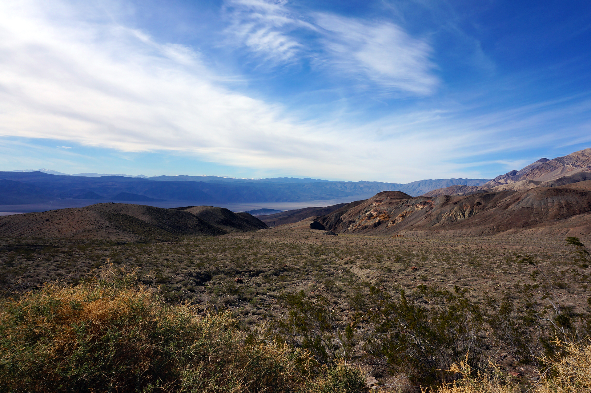
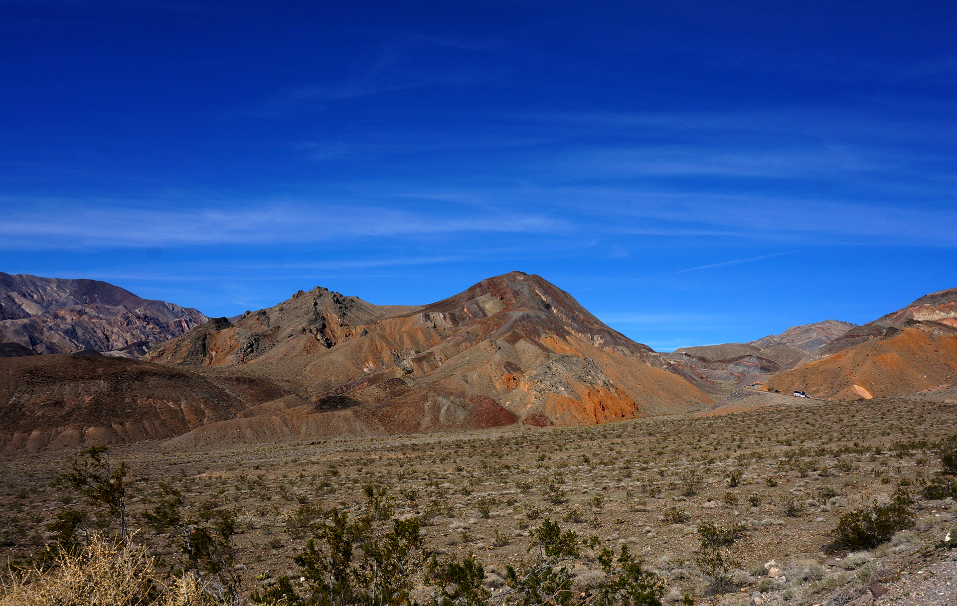
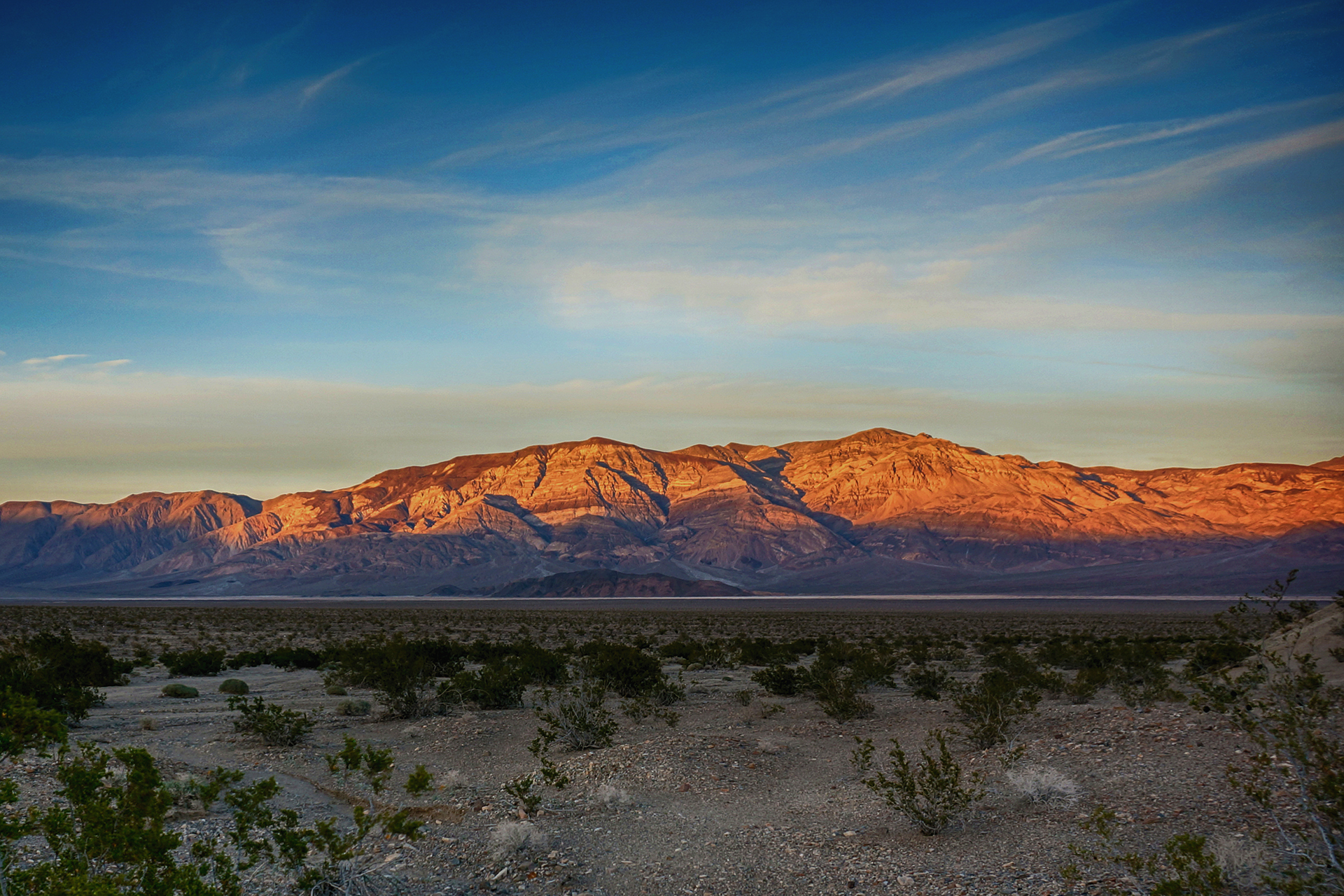
For anyone that hasn’t been there, Yosemite was one of the first national parks, and its beauty is staggering.  Because of road closures, we spent most of our time in Yosemite Valley, a huge, impossibly lush valley that sits between towering cliffs.  It looks a little like something from the Land Before Time movies, and everything about it is spectacular.

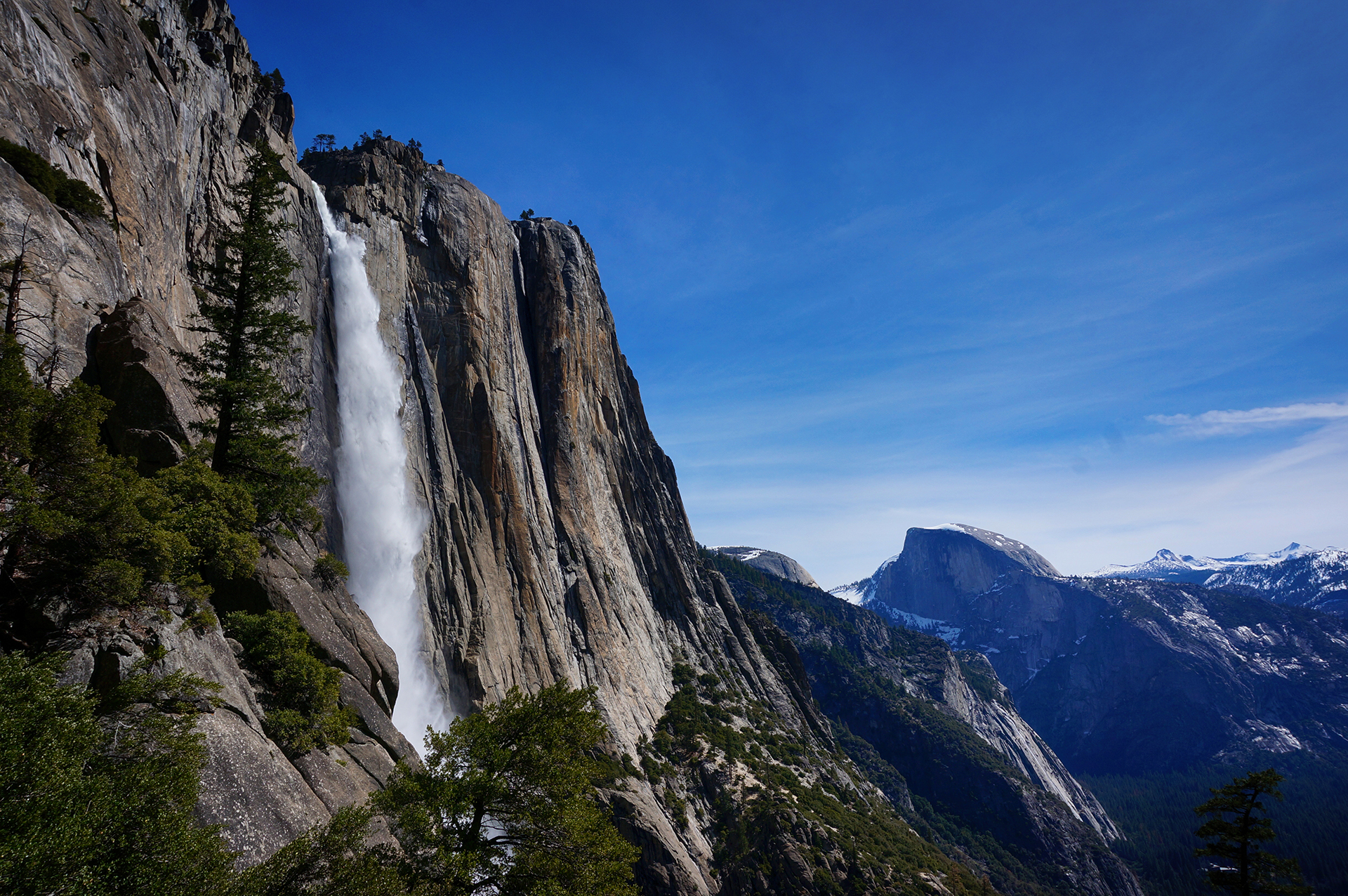
El Capitan, near the entrance to the valley, is a sheer, 3000 foot high cliff. Half-Dome, seen in many of our photos, outdoes that with an incredible 4,800 foot rise from the valley floor.

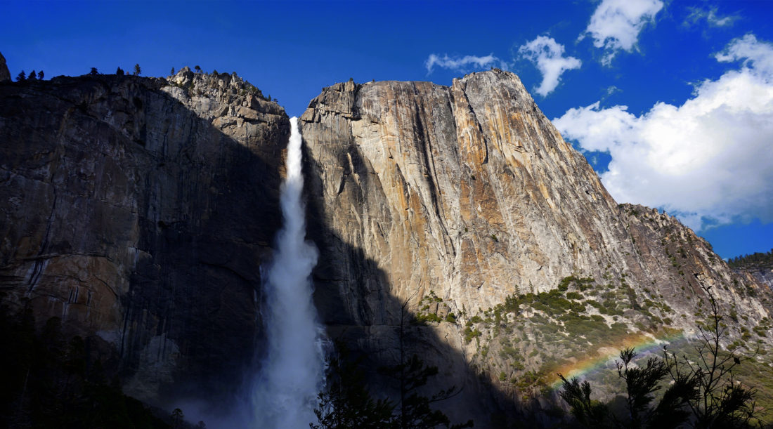
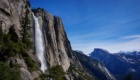
But it’s not all cliffs – Yosemite has a higher concentration of large waterfalls than any other place on earth.  Or rather, sometimes it’s both; Yosemite Falls is the highest waterfall in North America and it has a 2,400 foot drop (in three stages).

We’re Gonna Need a Bigger Camera

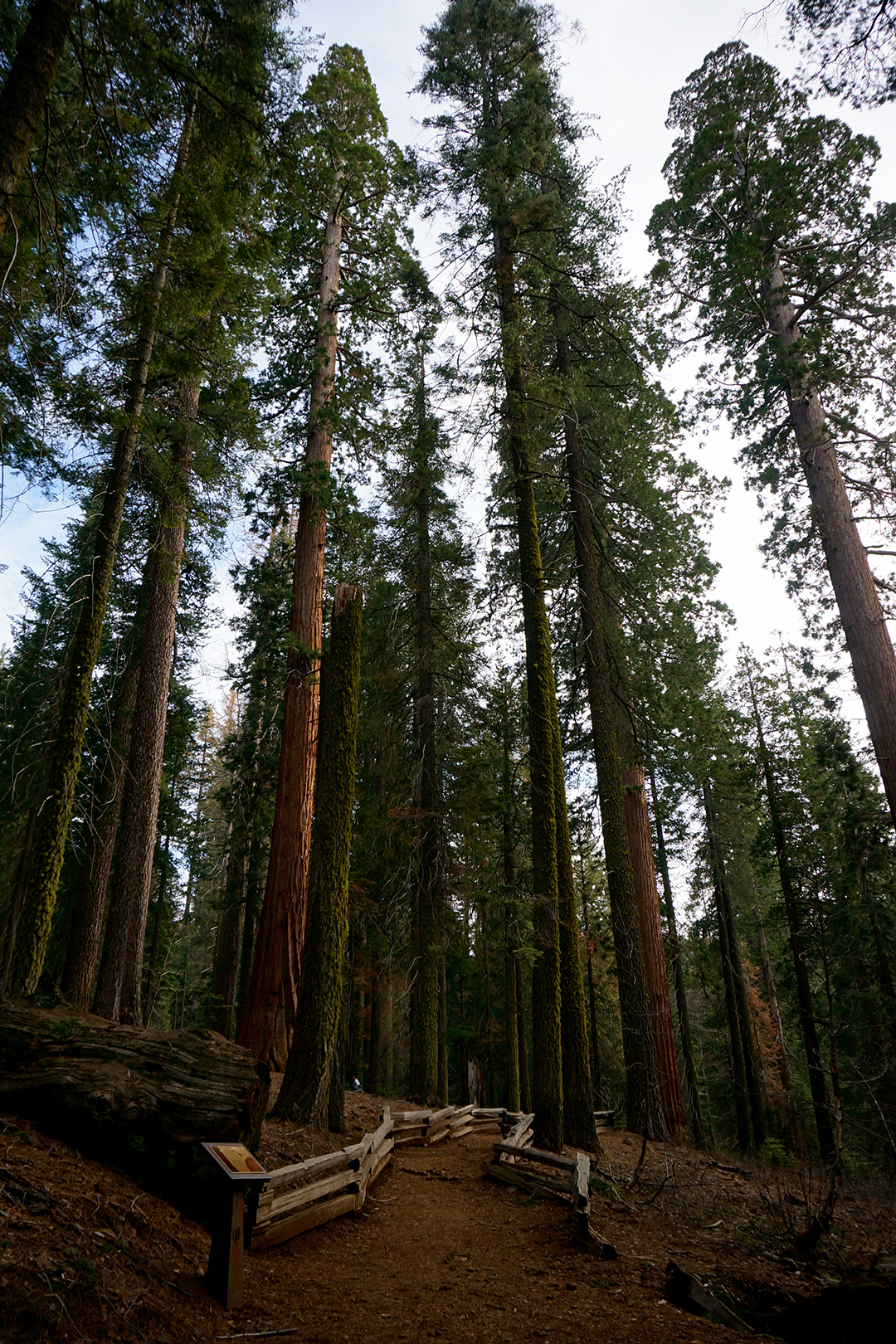
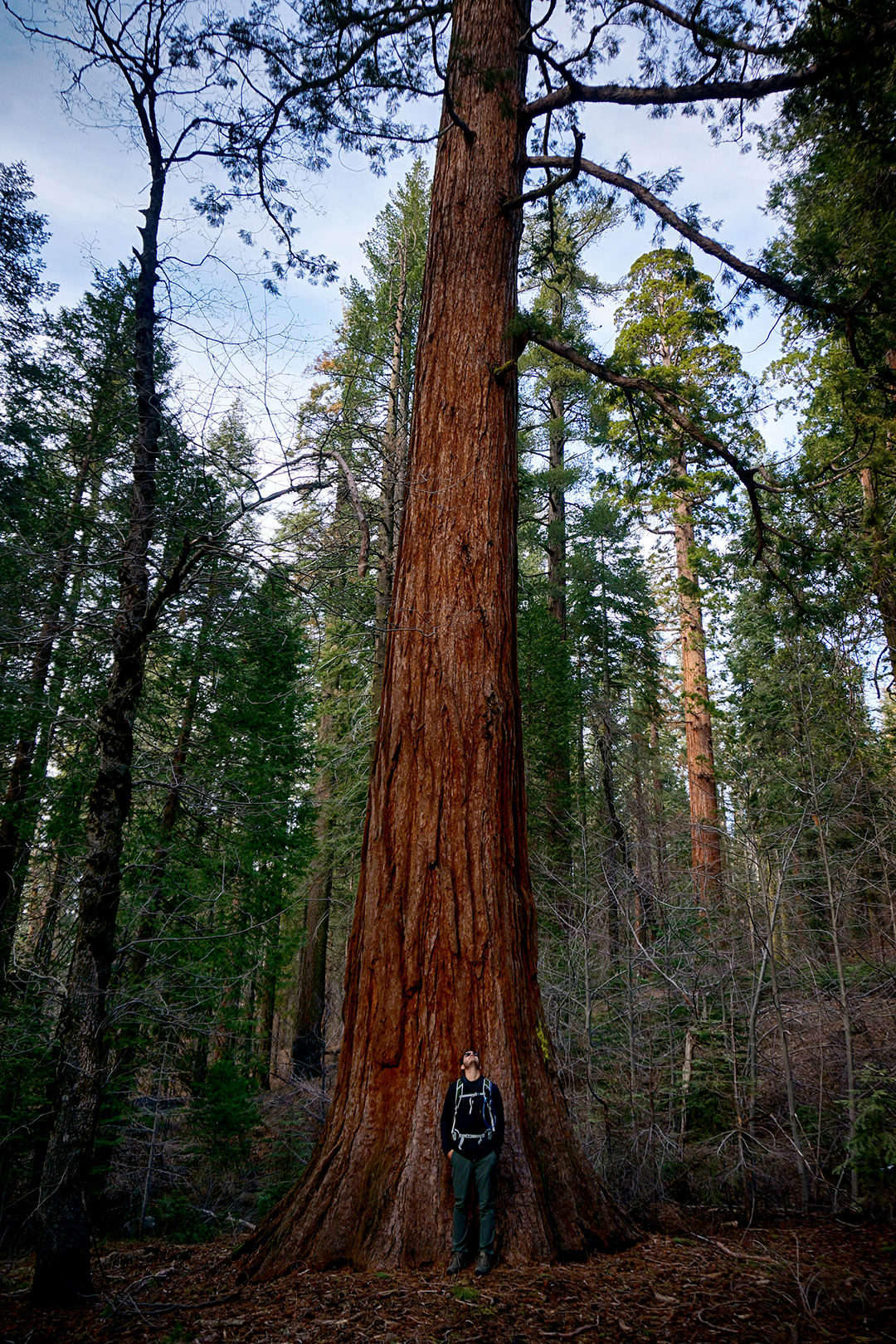
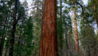
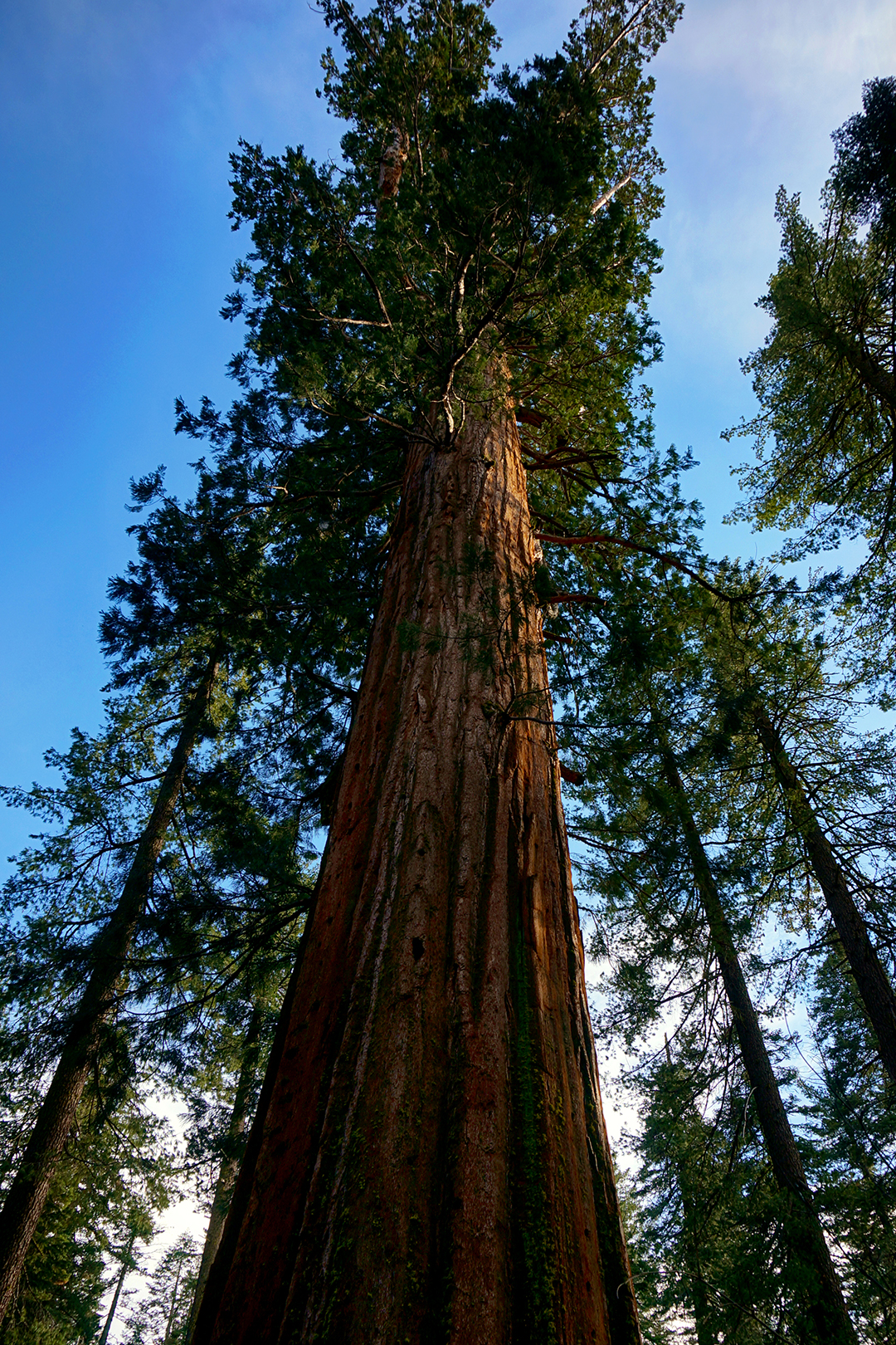
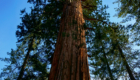
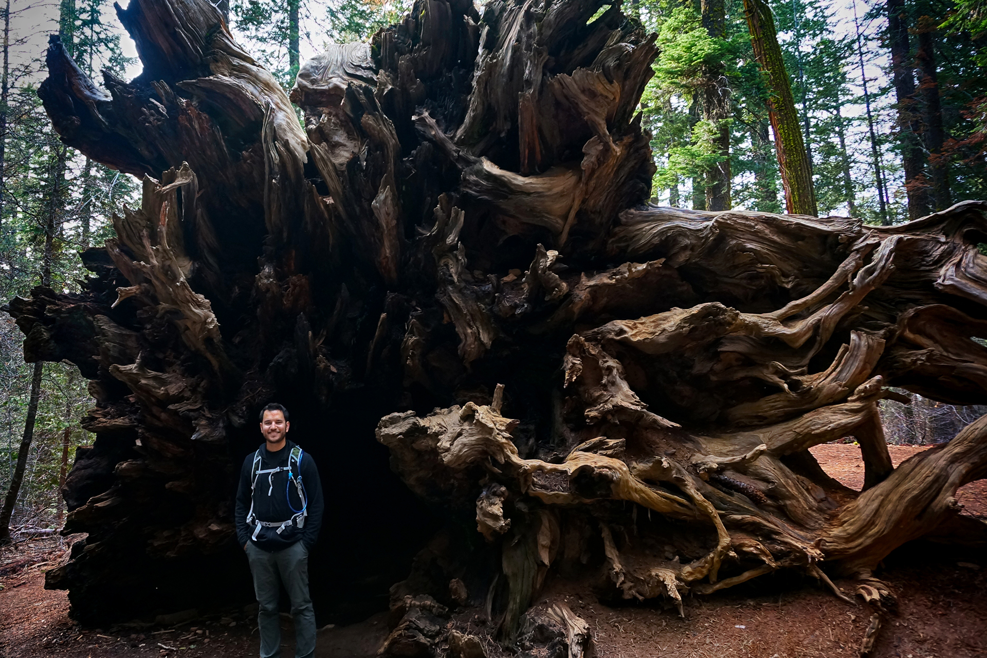
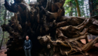
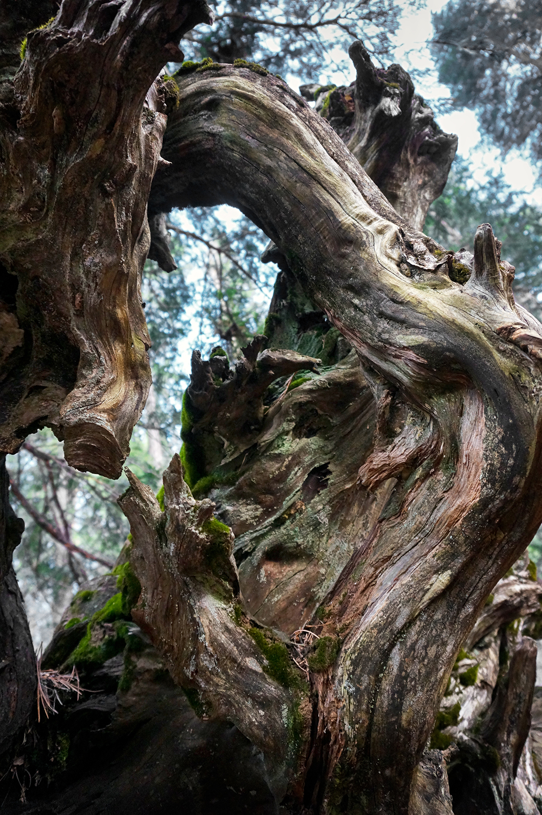
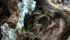
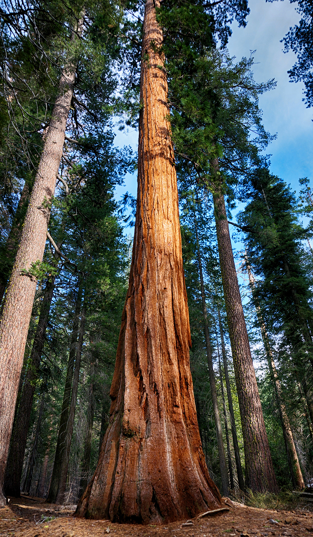
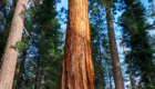
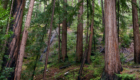
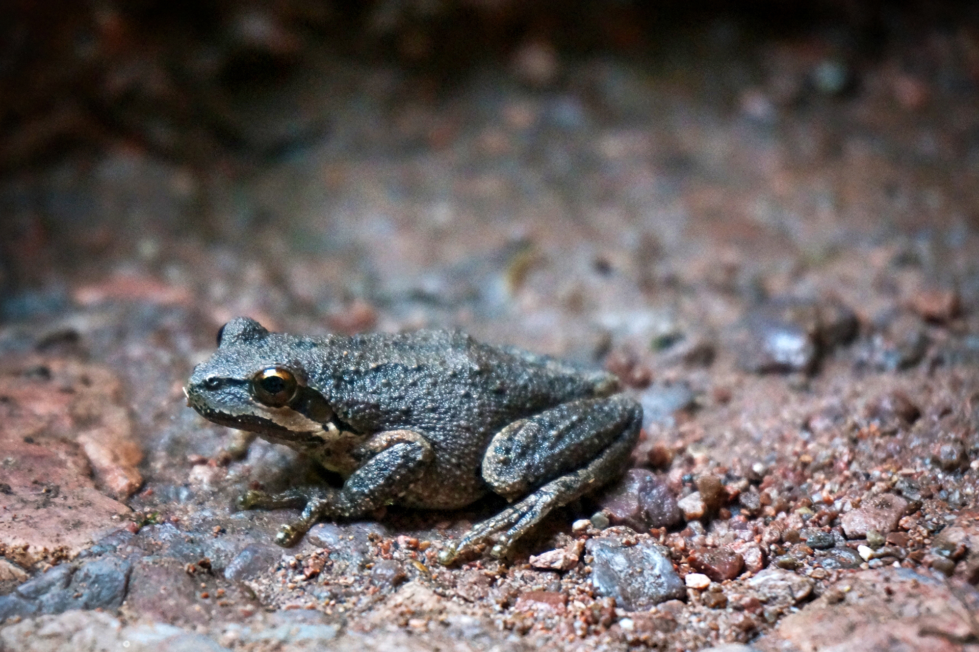
Yosemite is also known for its groves of giant sequoias.  Sequoias are not just the largest trees, they are the largest single organisms by volume, anywhere in the world. They are incredibly huge, and they live for thousands of years.  In fact, giant sequoias are so badass, they release their (surprisingly tiny) pine cones only during forest fires – which they then survive easily.

Unfortunately, sequoias only grow in a thin strip of the Sierra Nevada mountains.  Like their taller but more slender cousins the coastal redwoods, very few are left due to logging activity, and all known trees are protected by state and national parks.

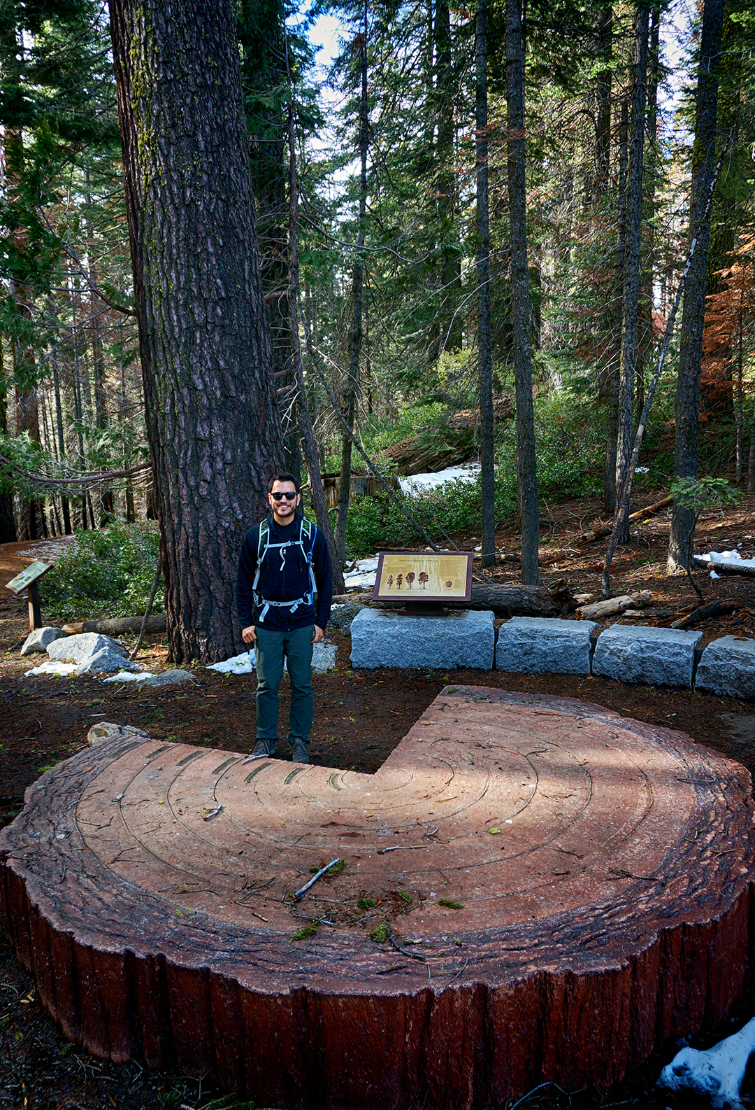
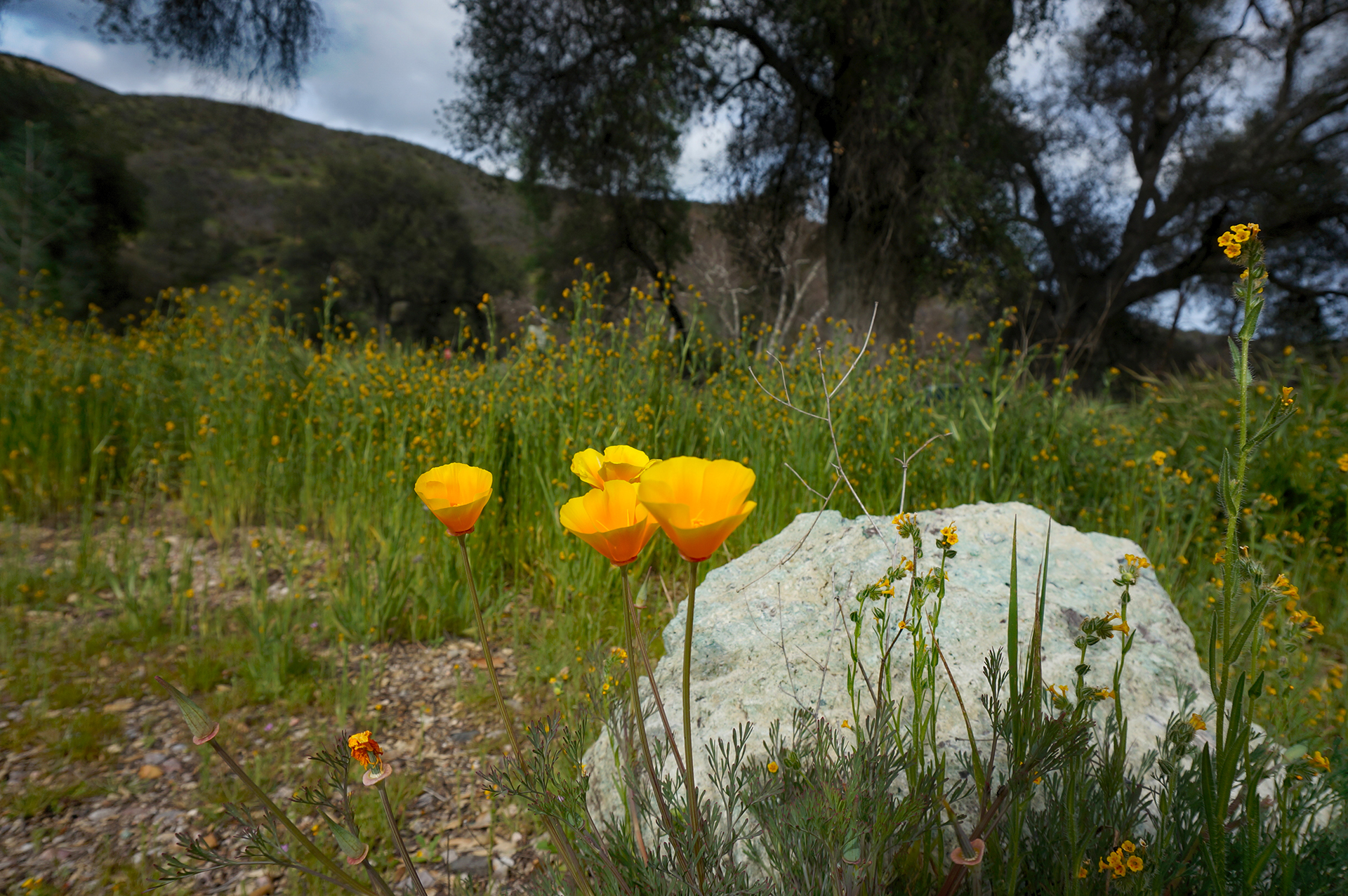
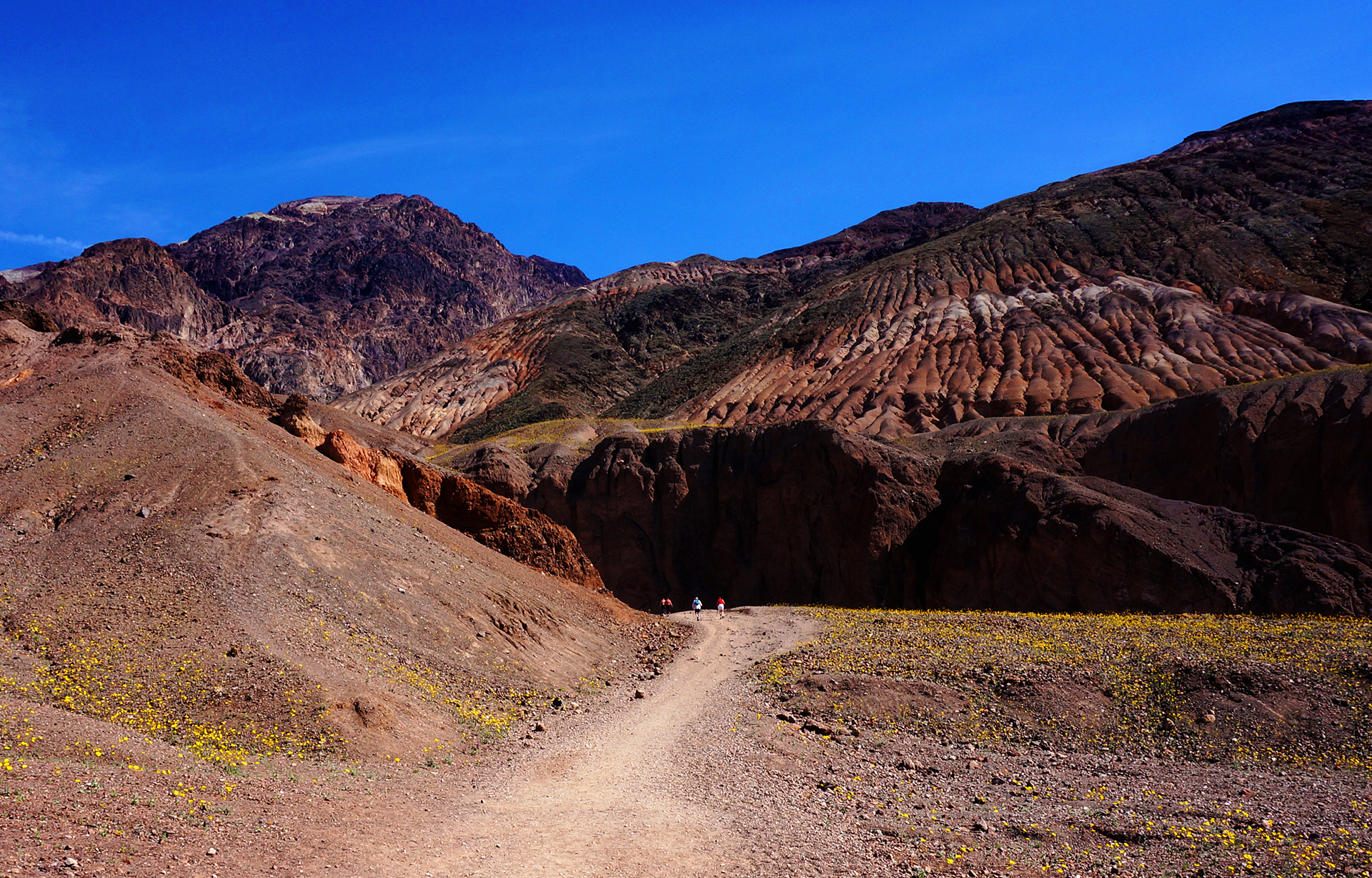
Sadly, the 200+ sequoias at Mariposa Grove at Yosemite are off-limits for all of 2016 due to restoration efforts.  We therefore hiked down to another grove, which has only 25 sequoias.  A little disappointing, but we were awed by the few we saw anyway.

Trip to the Top

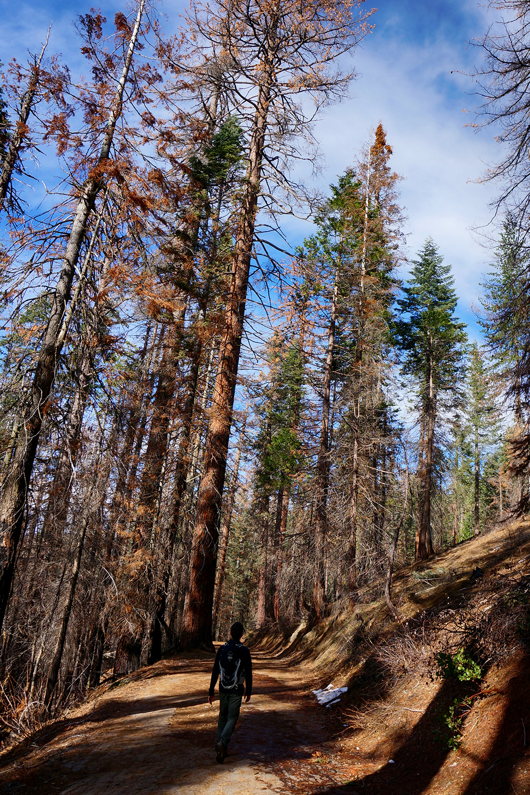
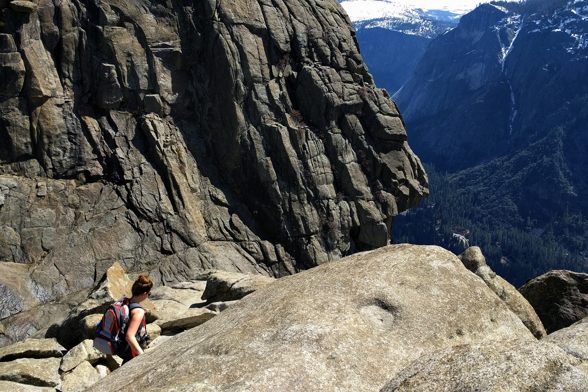
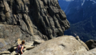
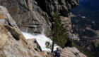
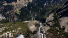
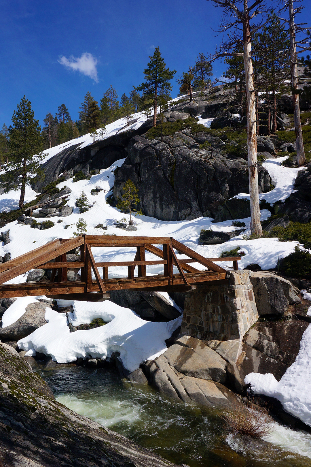
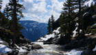
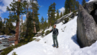
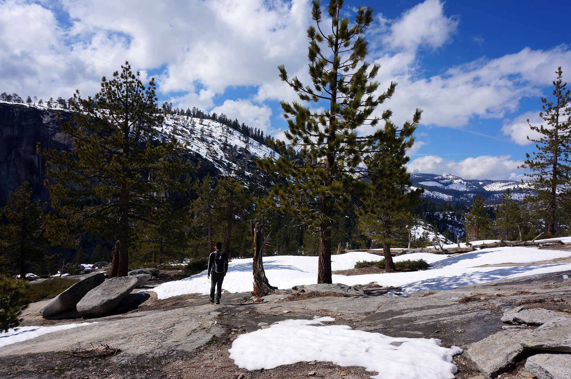
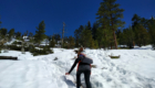
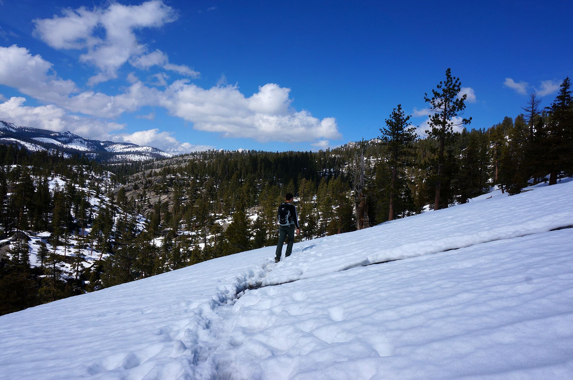
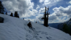
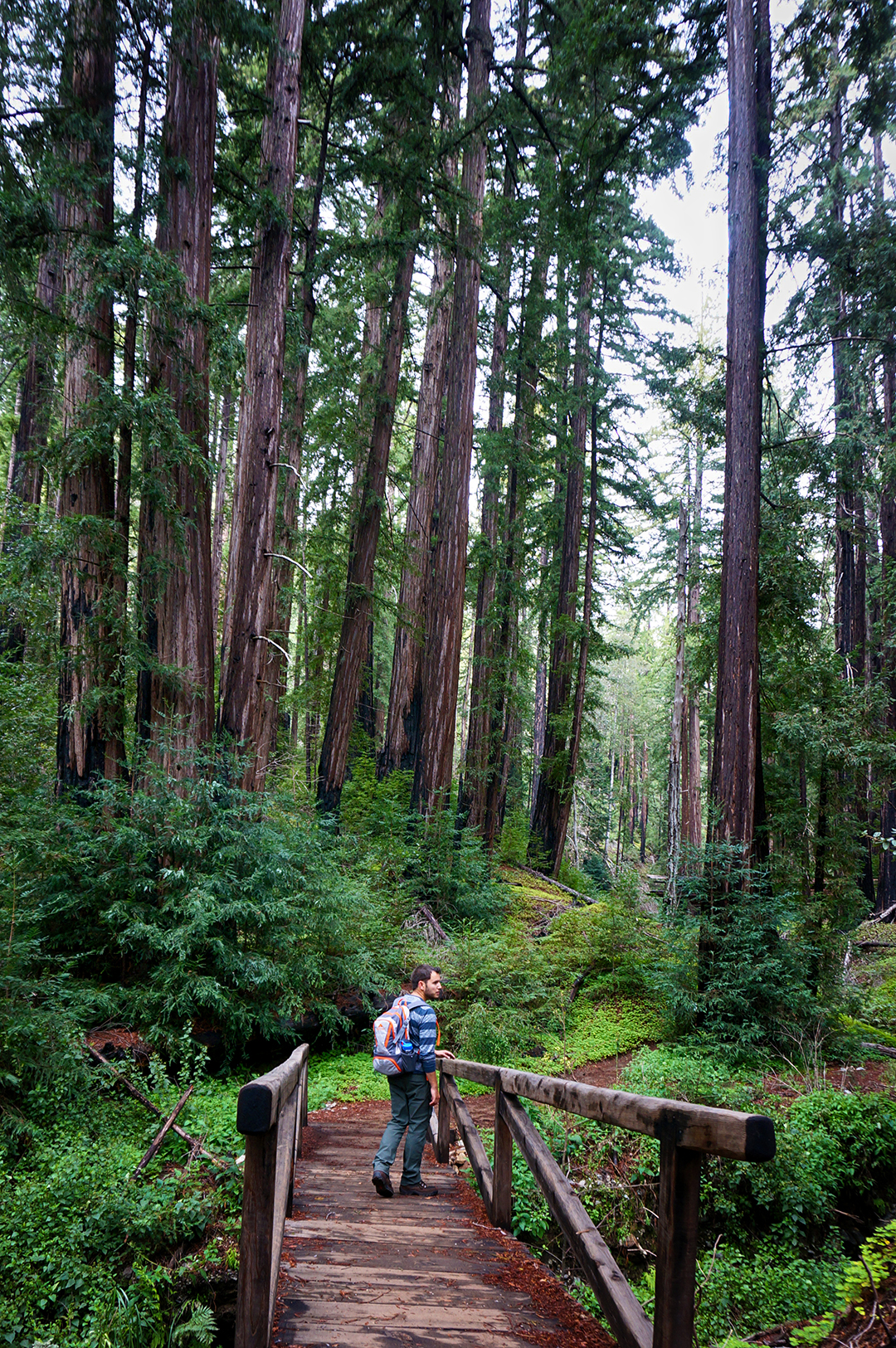
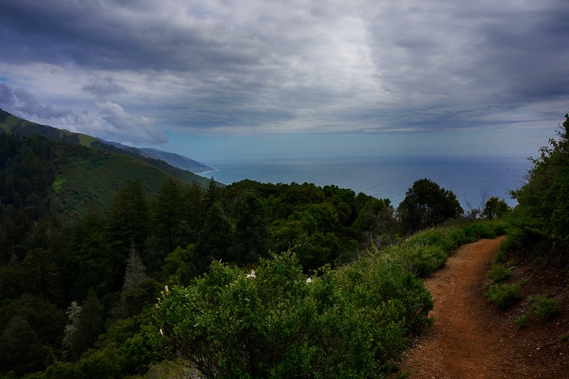
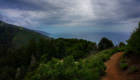
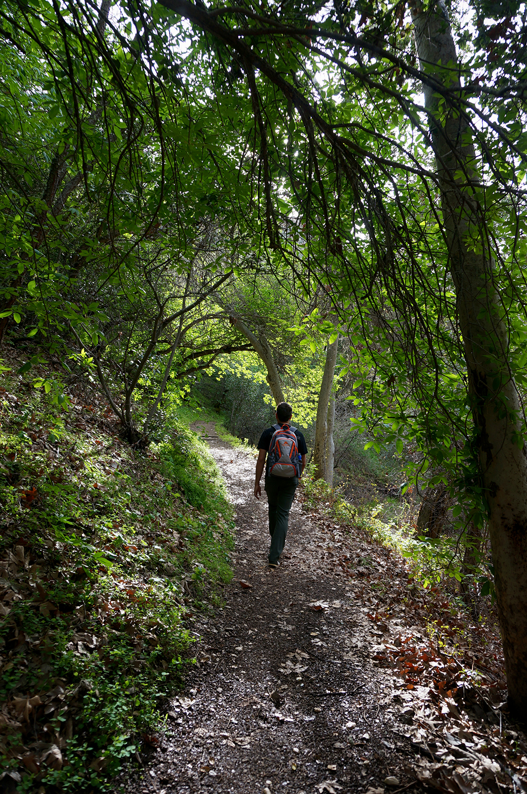
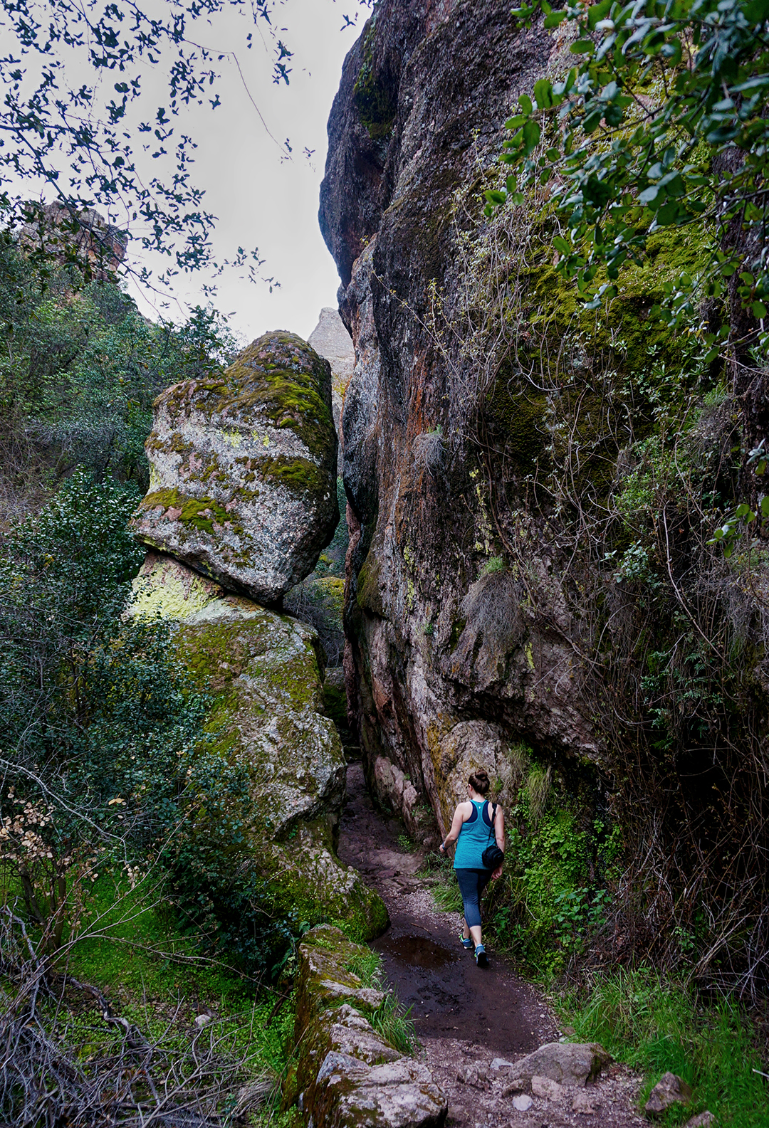
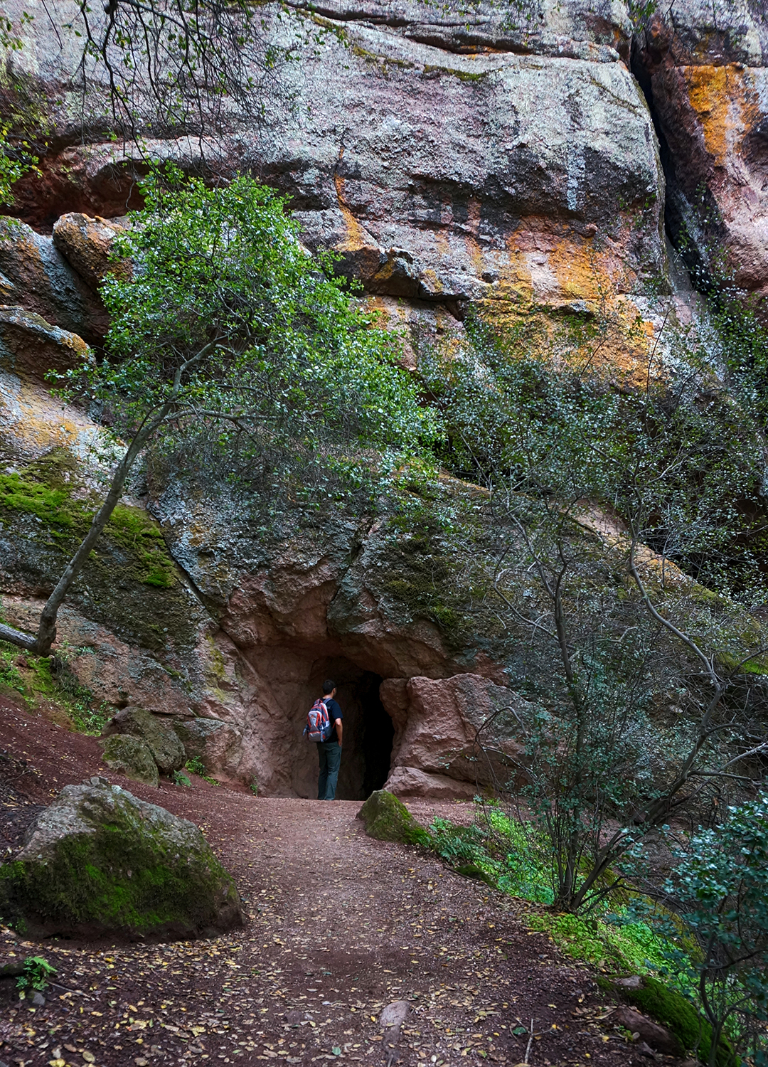
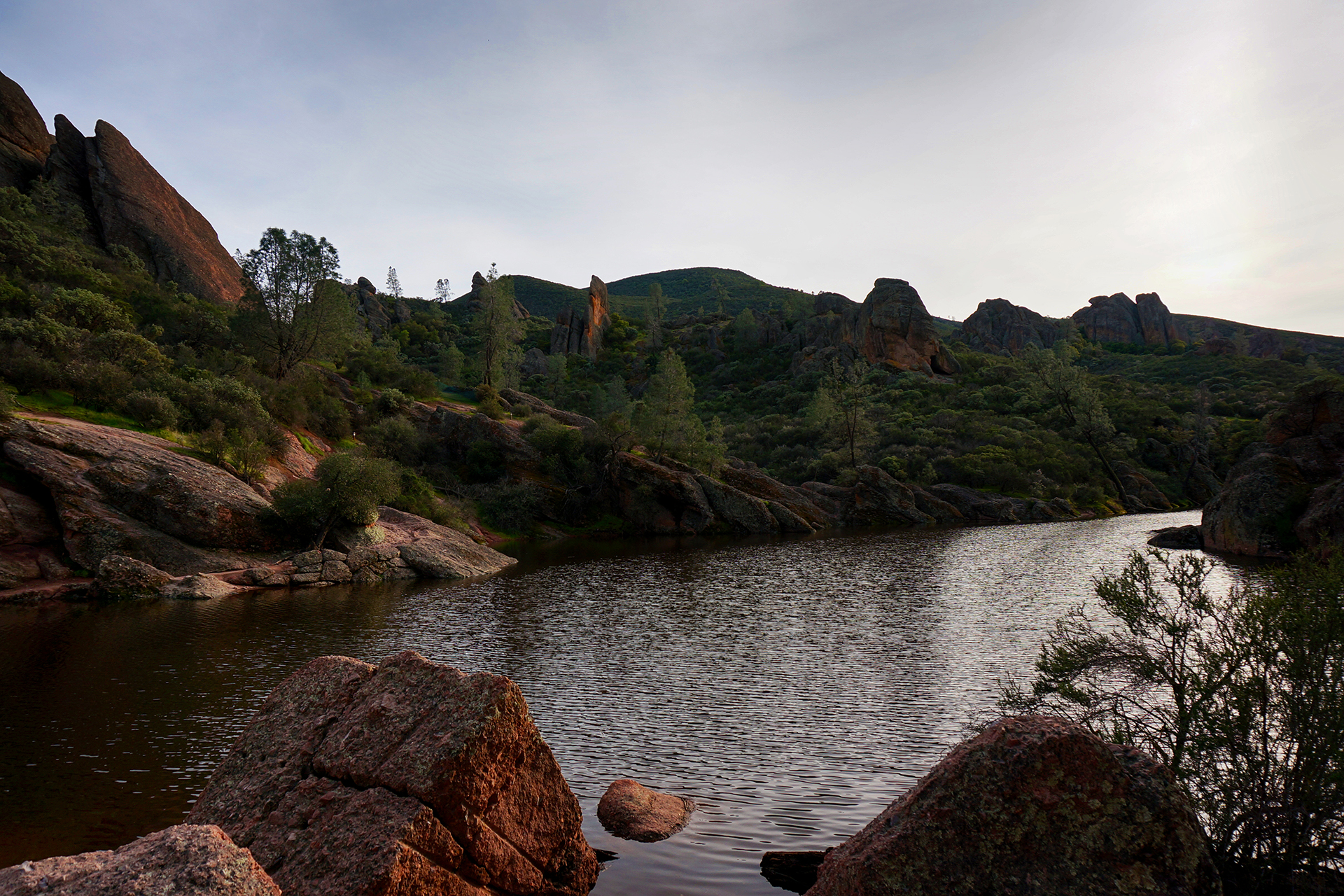
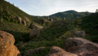
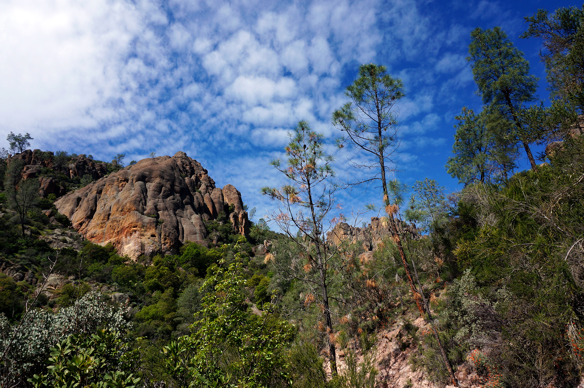
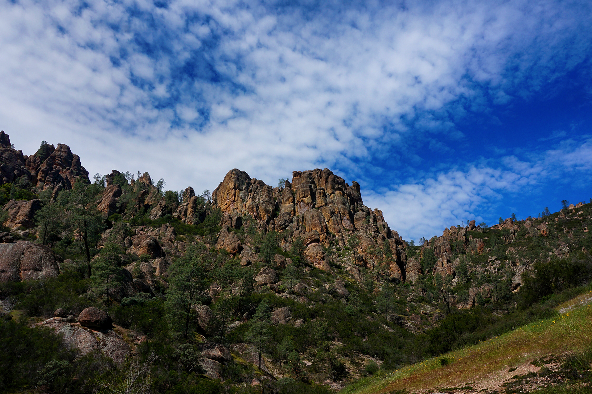
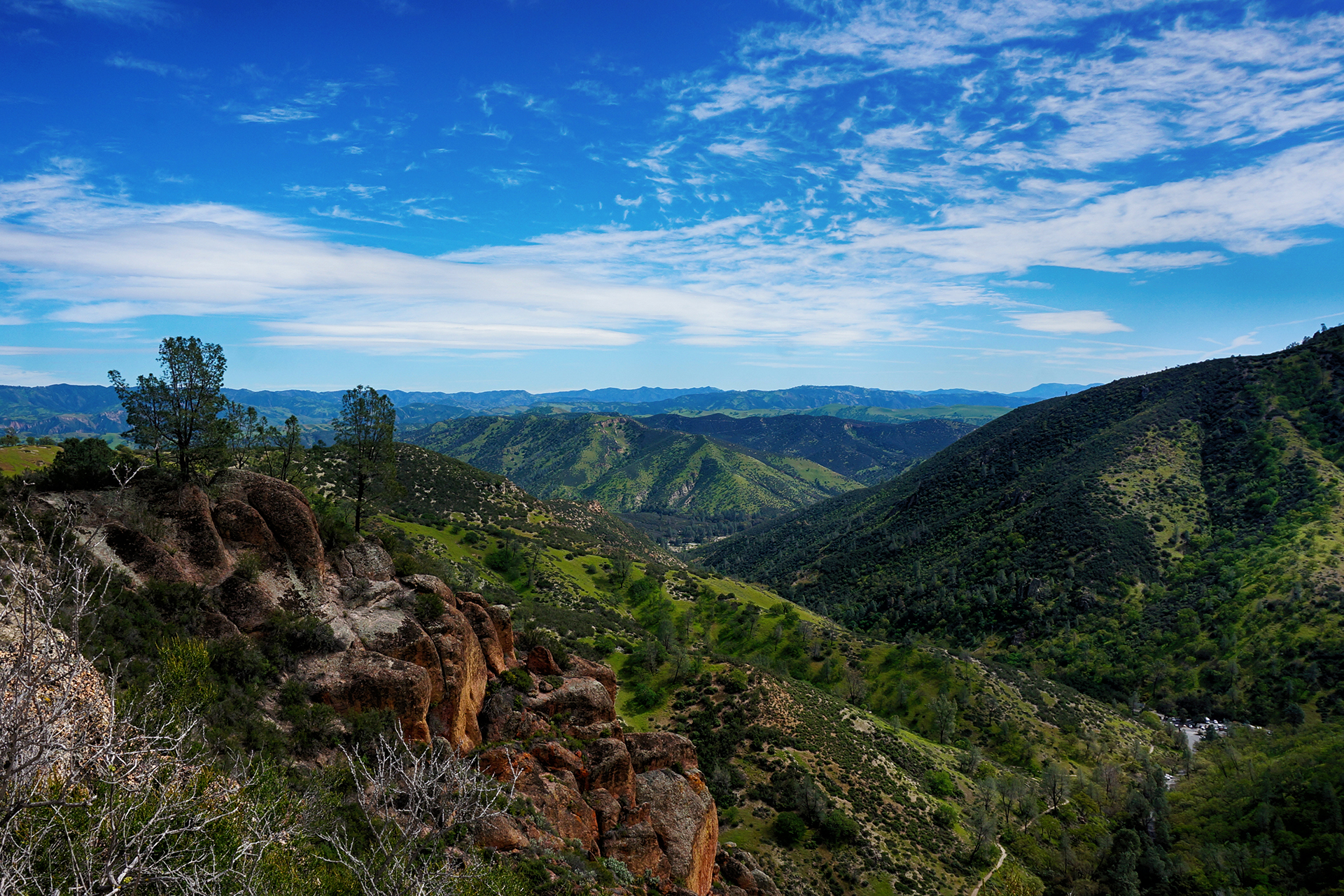
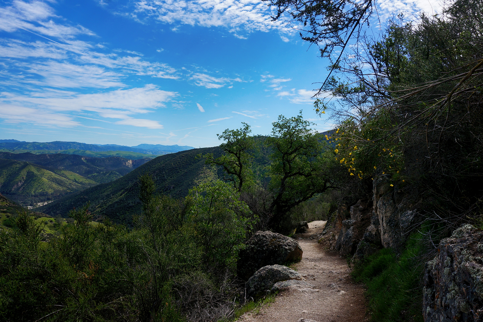
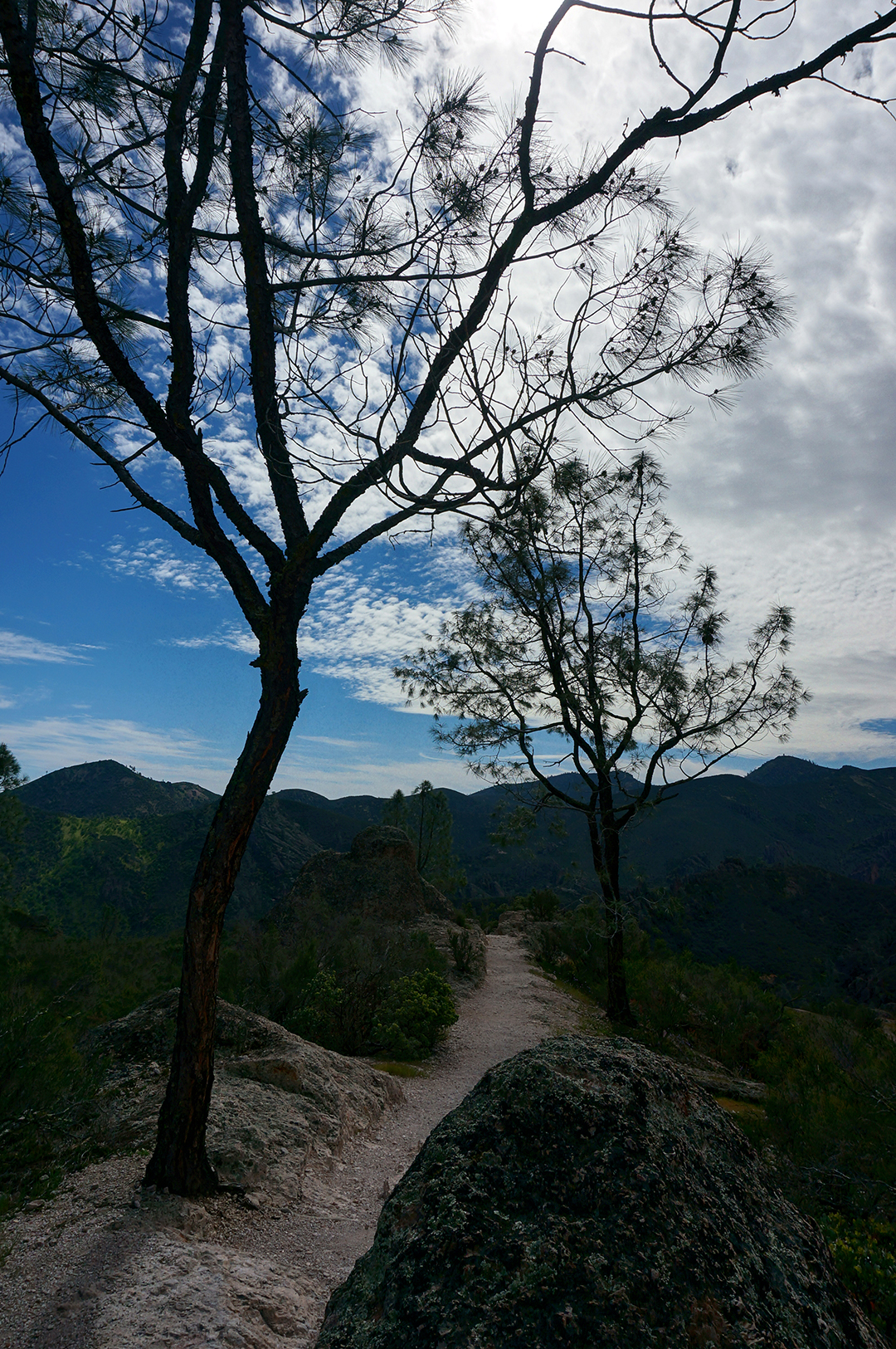
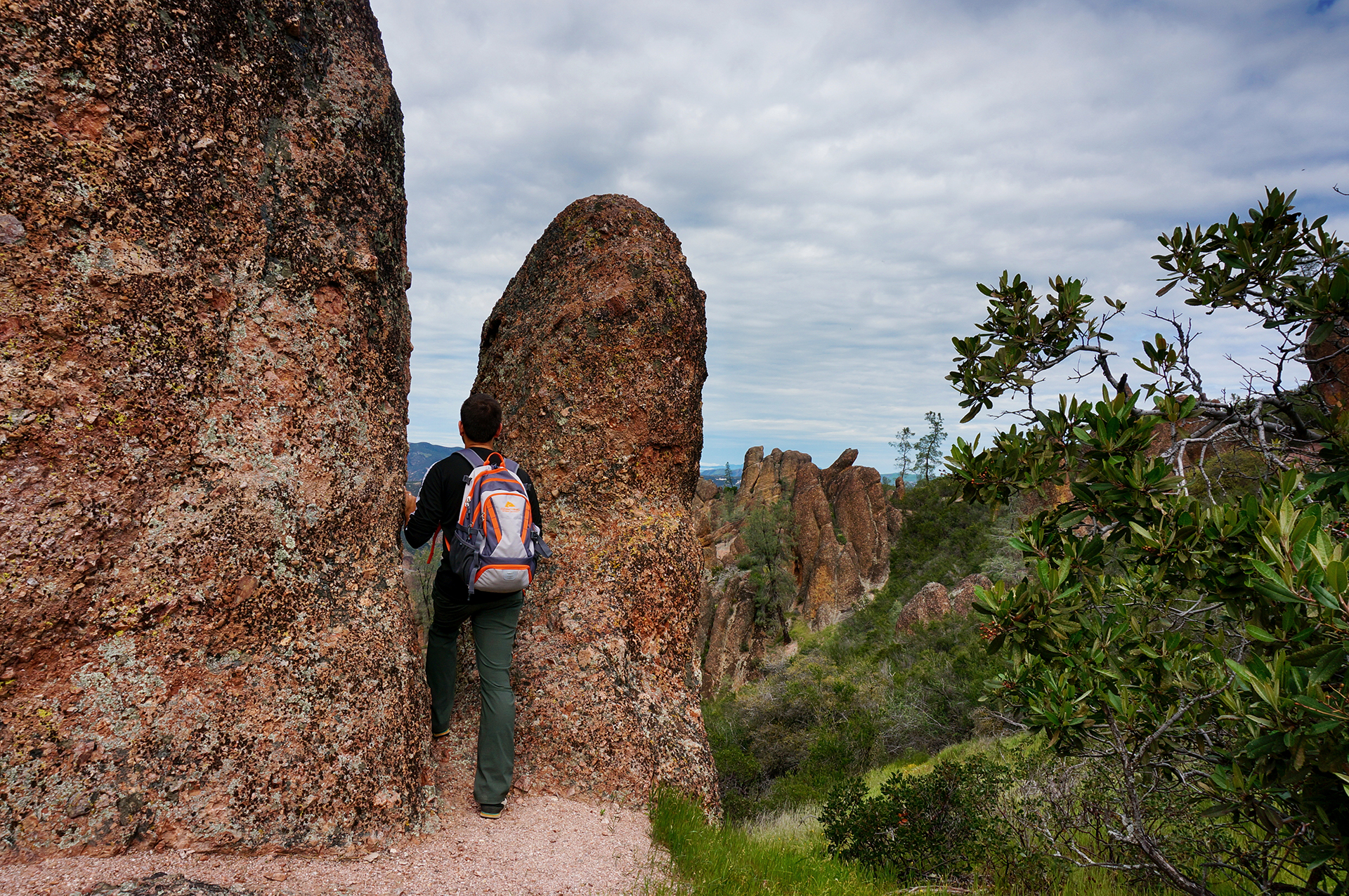
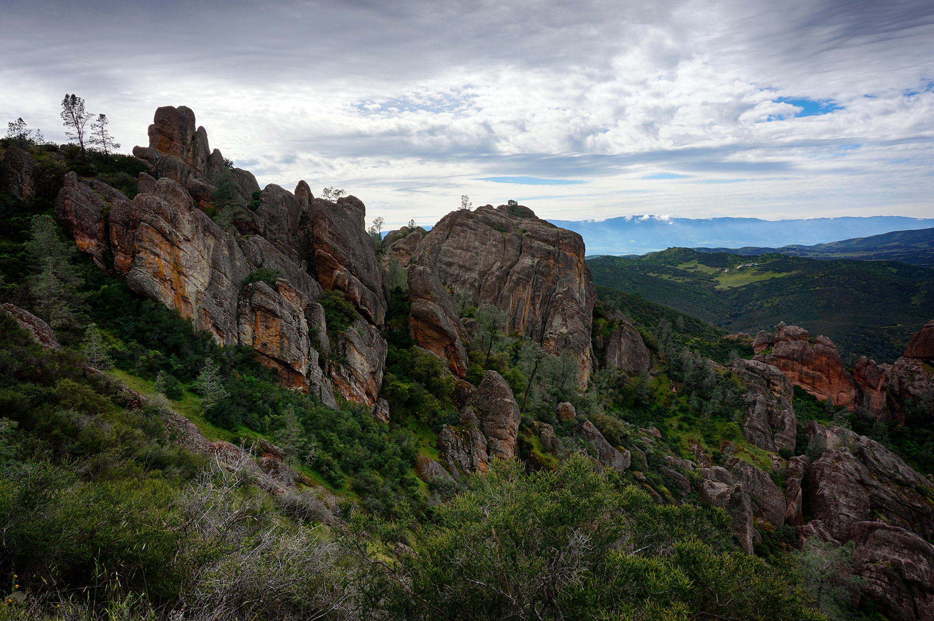
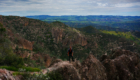
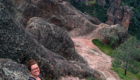
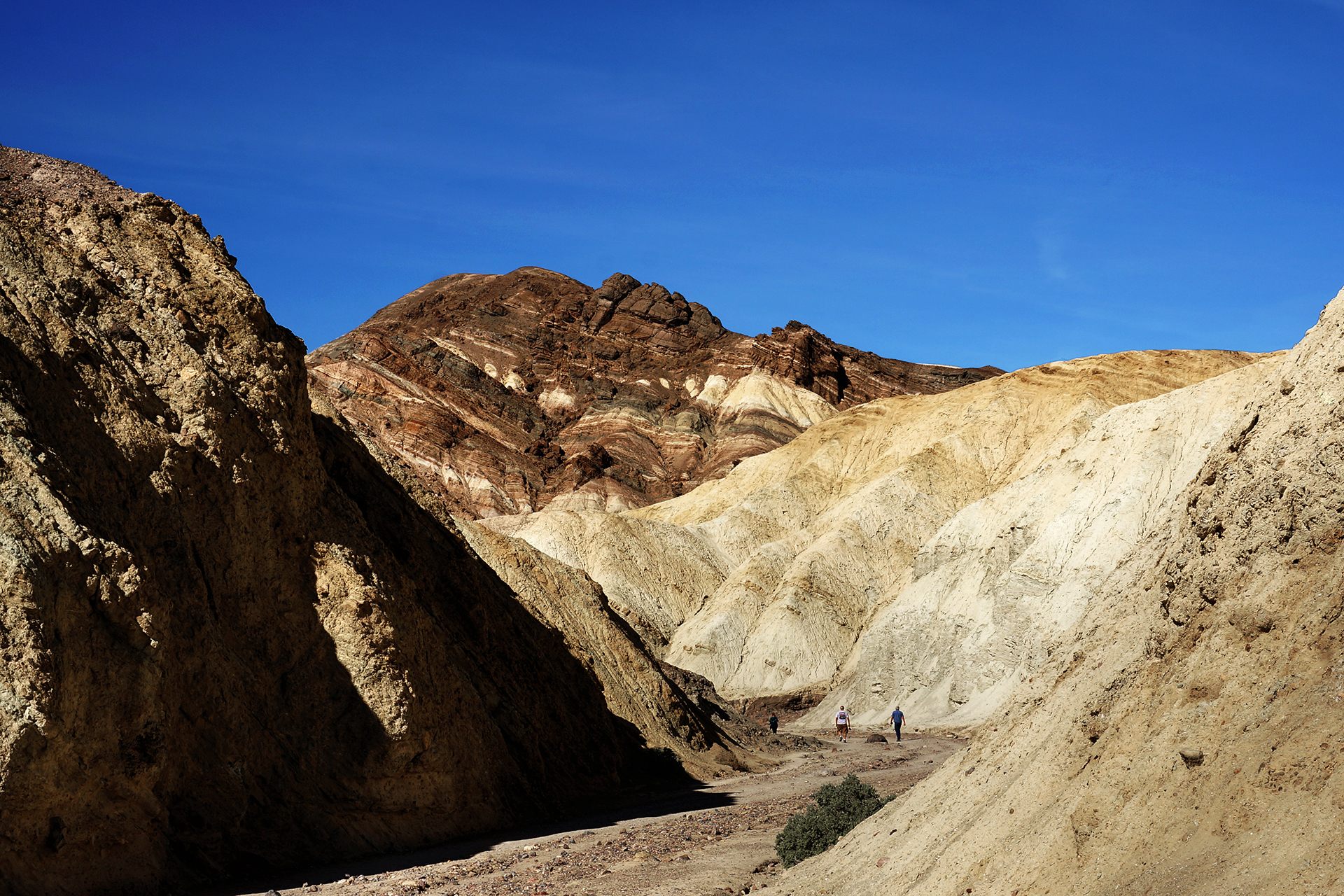
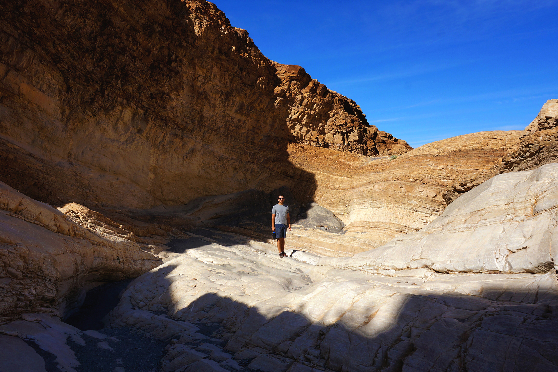
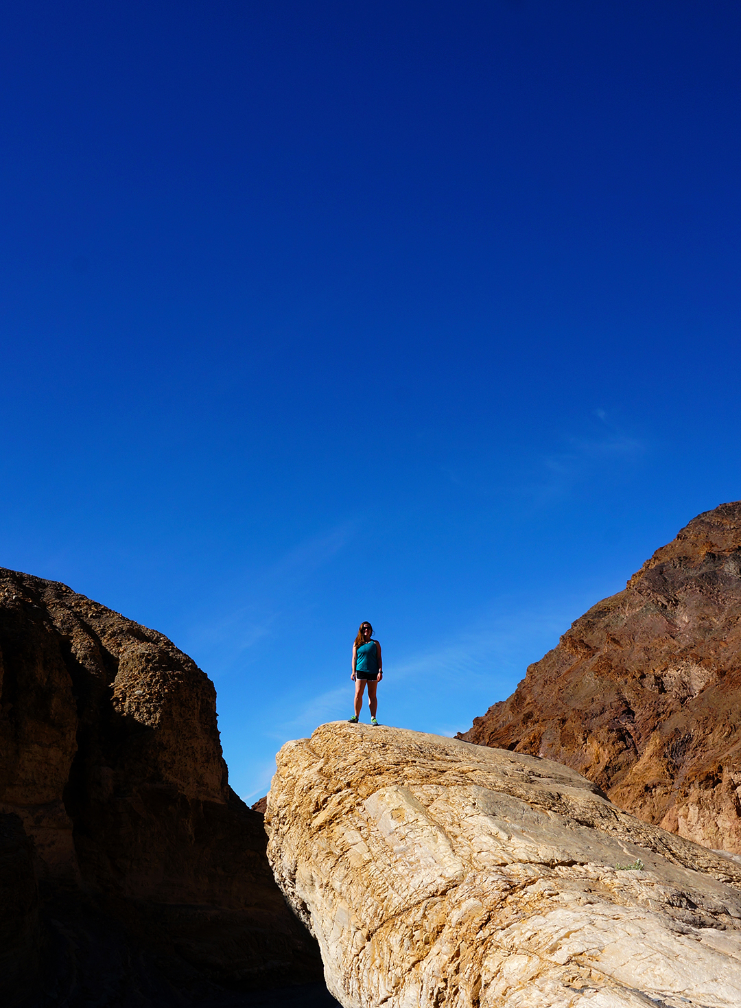
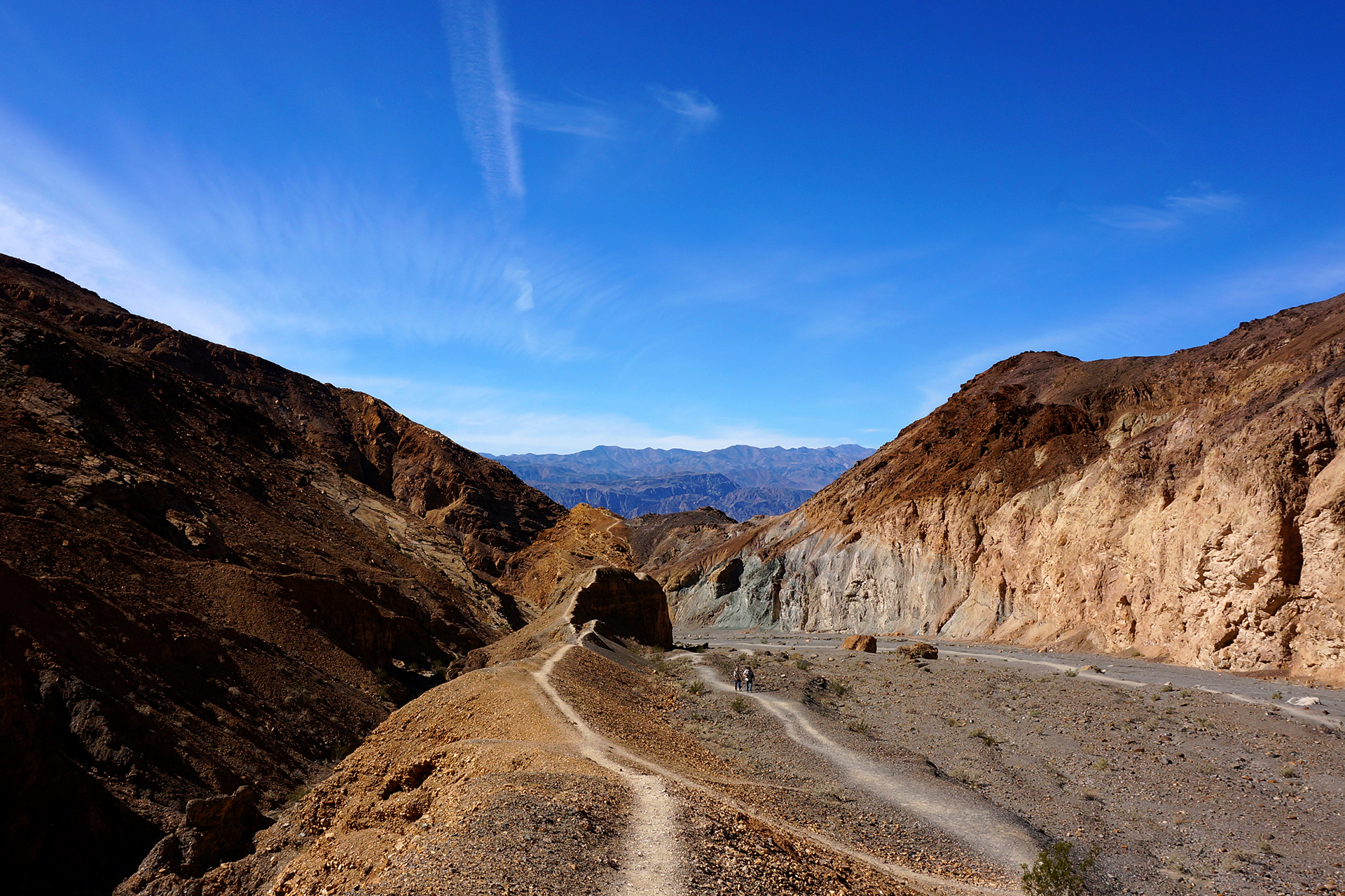
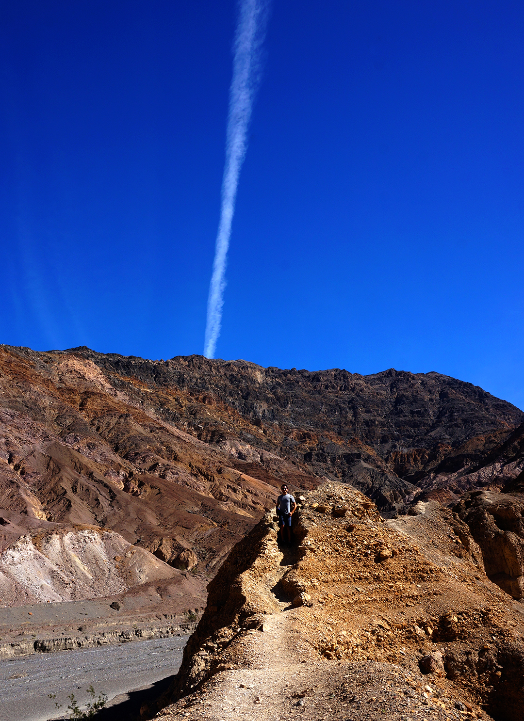
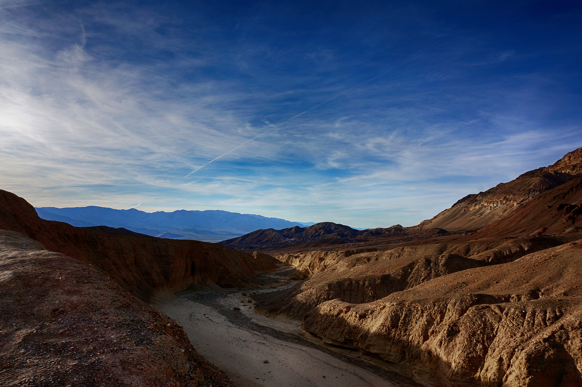
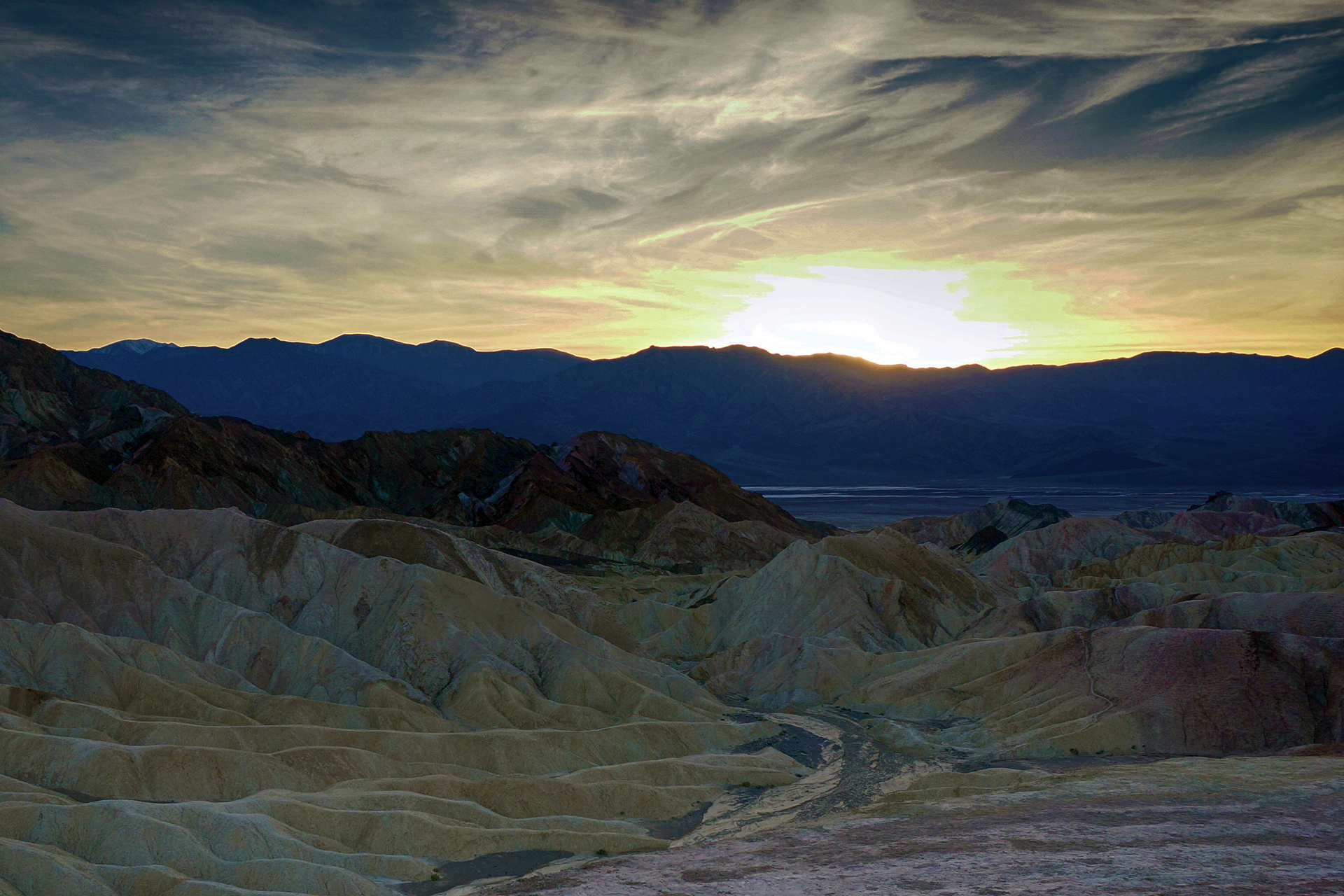
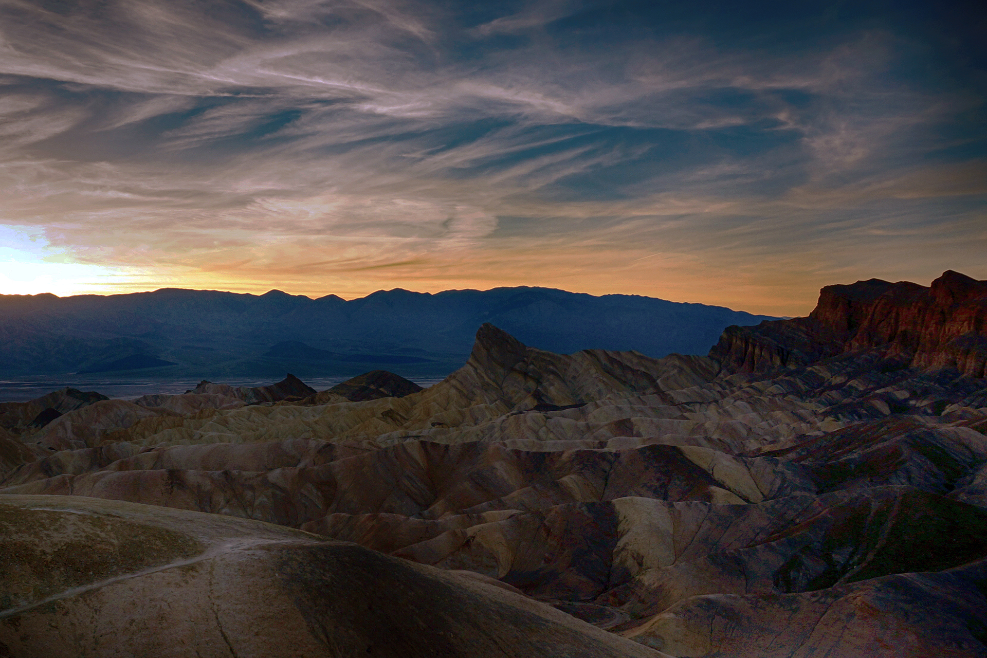
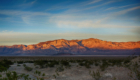
Yosemite’s most famous hike is the notoriously brutal Half-Dome, but that was closed for the season.  We’re not sure whether we would have tried it, but in any event, we ended up on another legendarily difficult hike: The Upper Falls trail. This hike climbs to the top of Yosemite Falls (pictured below), rising up 2,700 feet in just 3.5 miles via an unending, unrelenting series of switchbacks over loose, rocky terrain.

Friends, the scenery was incredible, but this was the toughest hike we’ve ever done.

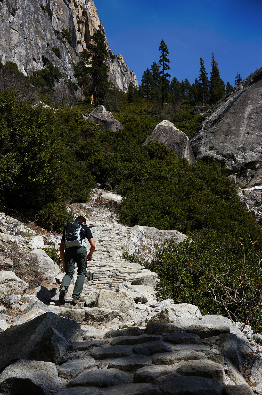
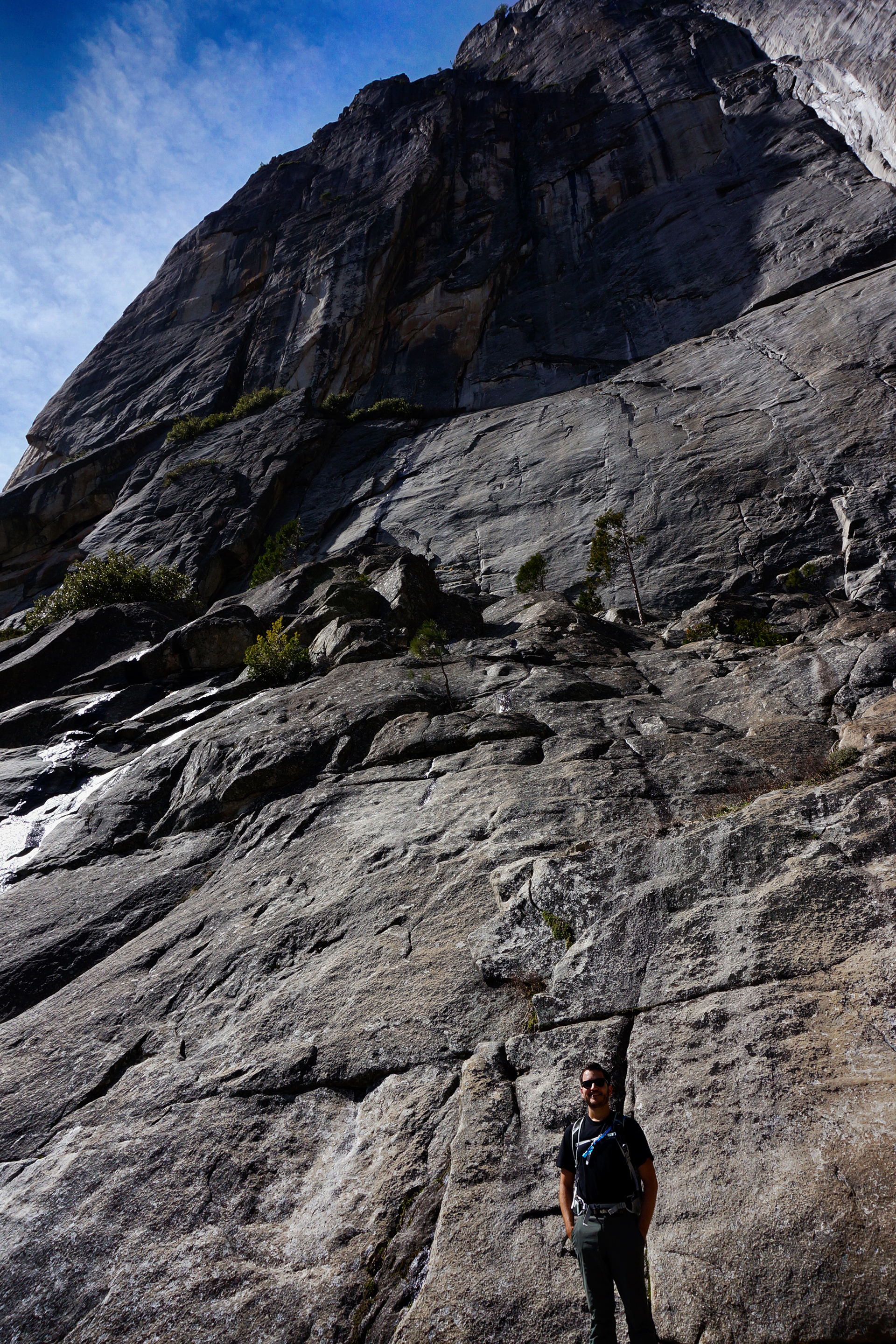
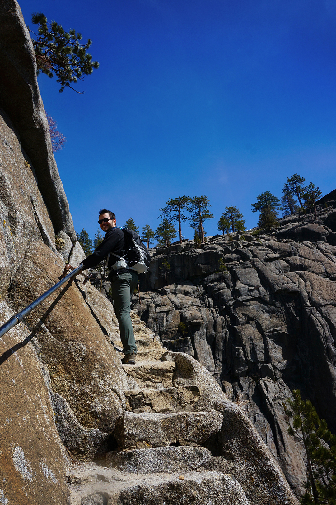
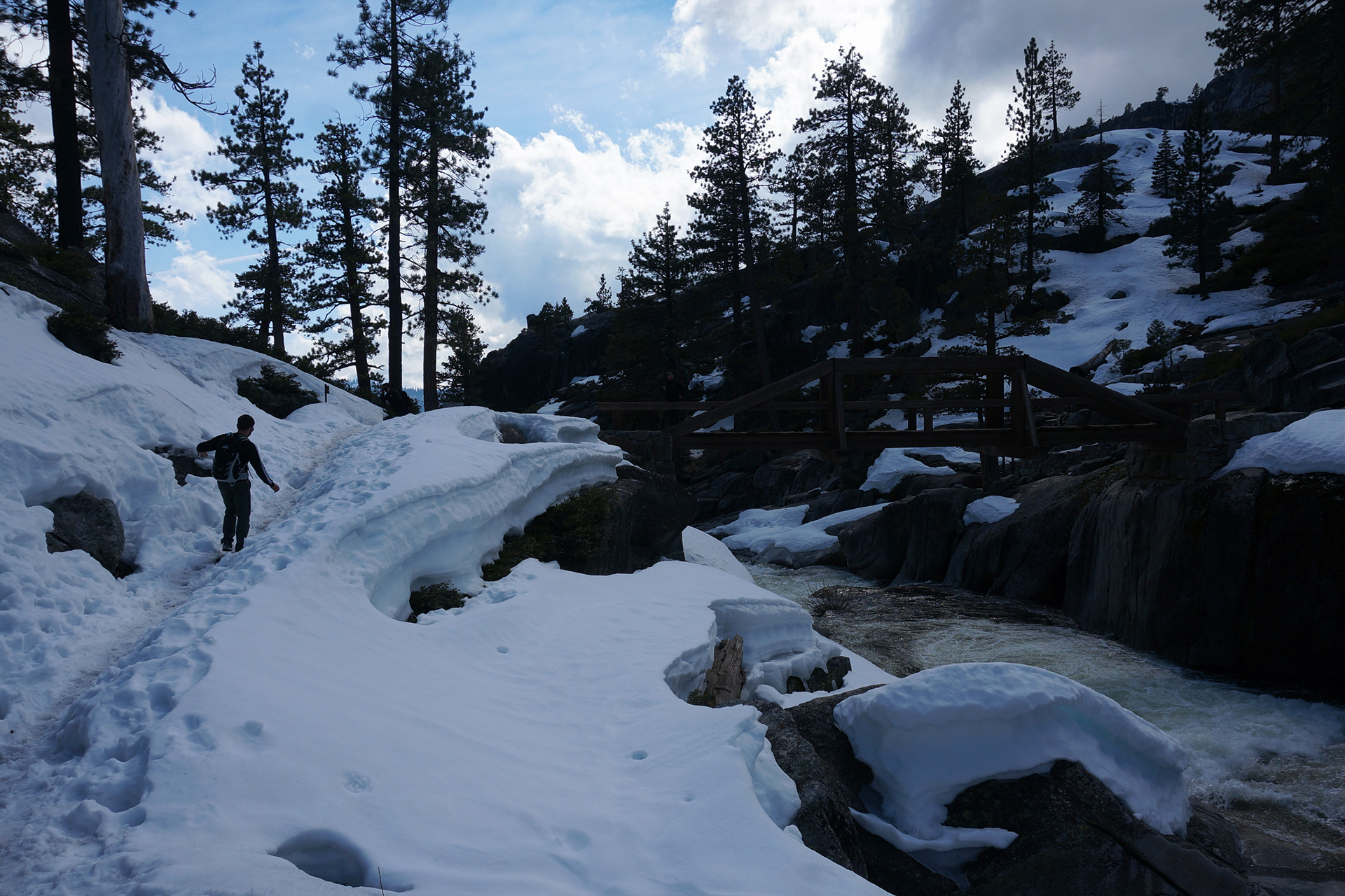
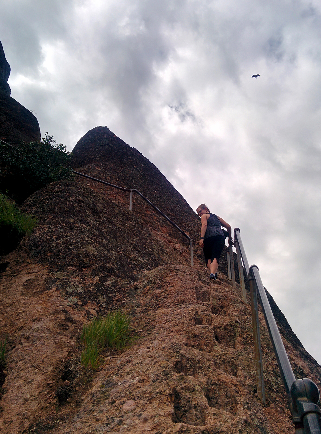
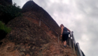
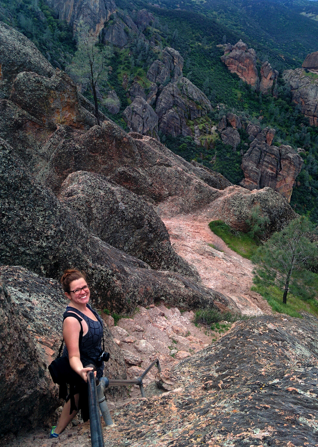
We’re still not sure how we made it up, but we did.  Once we reached the top, we walked down to the viewing platform near the falls, which requires a slightly terrifying walk along a narrow, extremely windy ledge holding only onto a pipe railing.  To be honest, the small and unsatisfying viewing platform, combined with the wind, may not have been worth it.

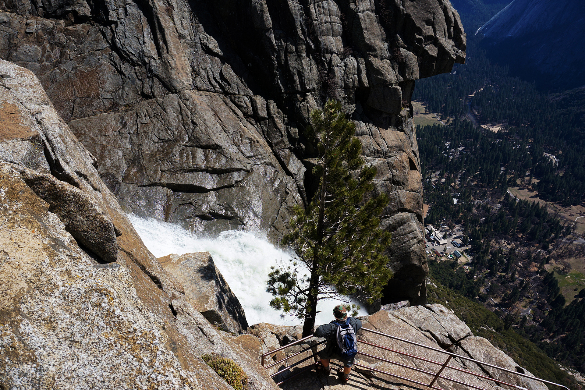
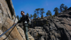
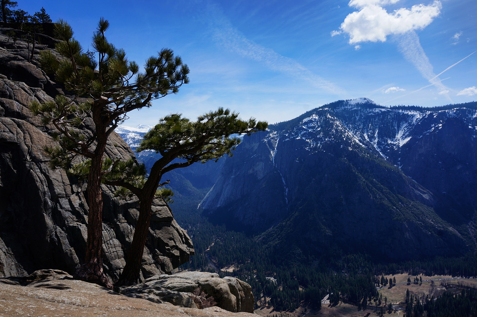
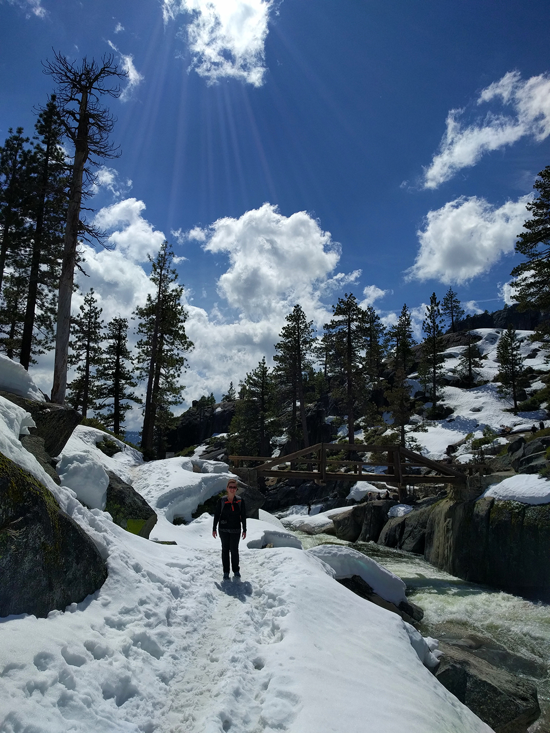
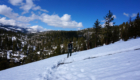
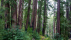
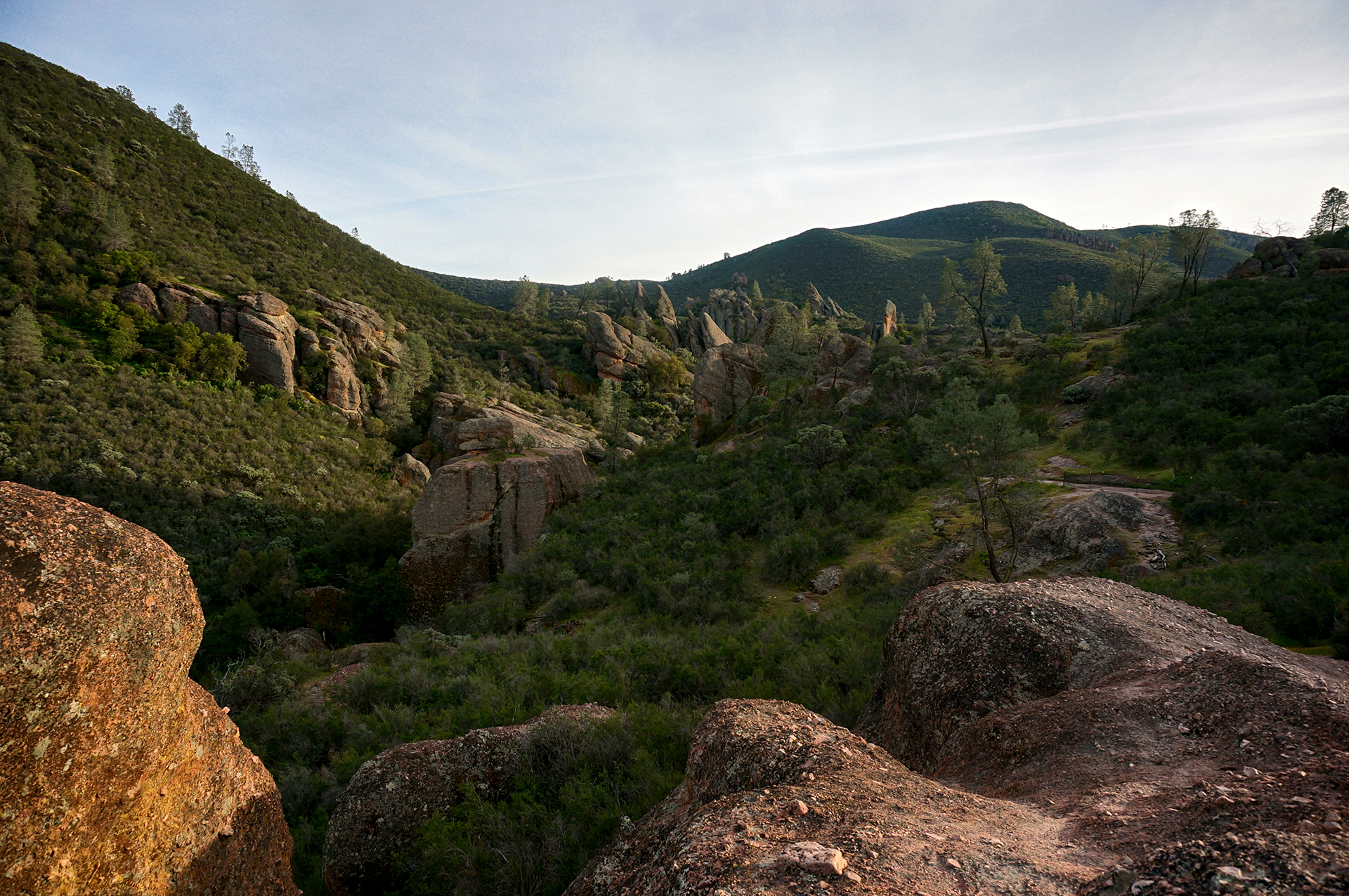
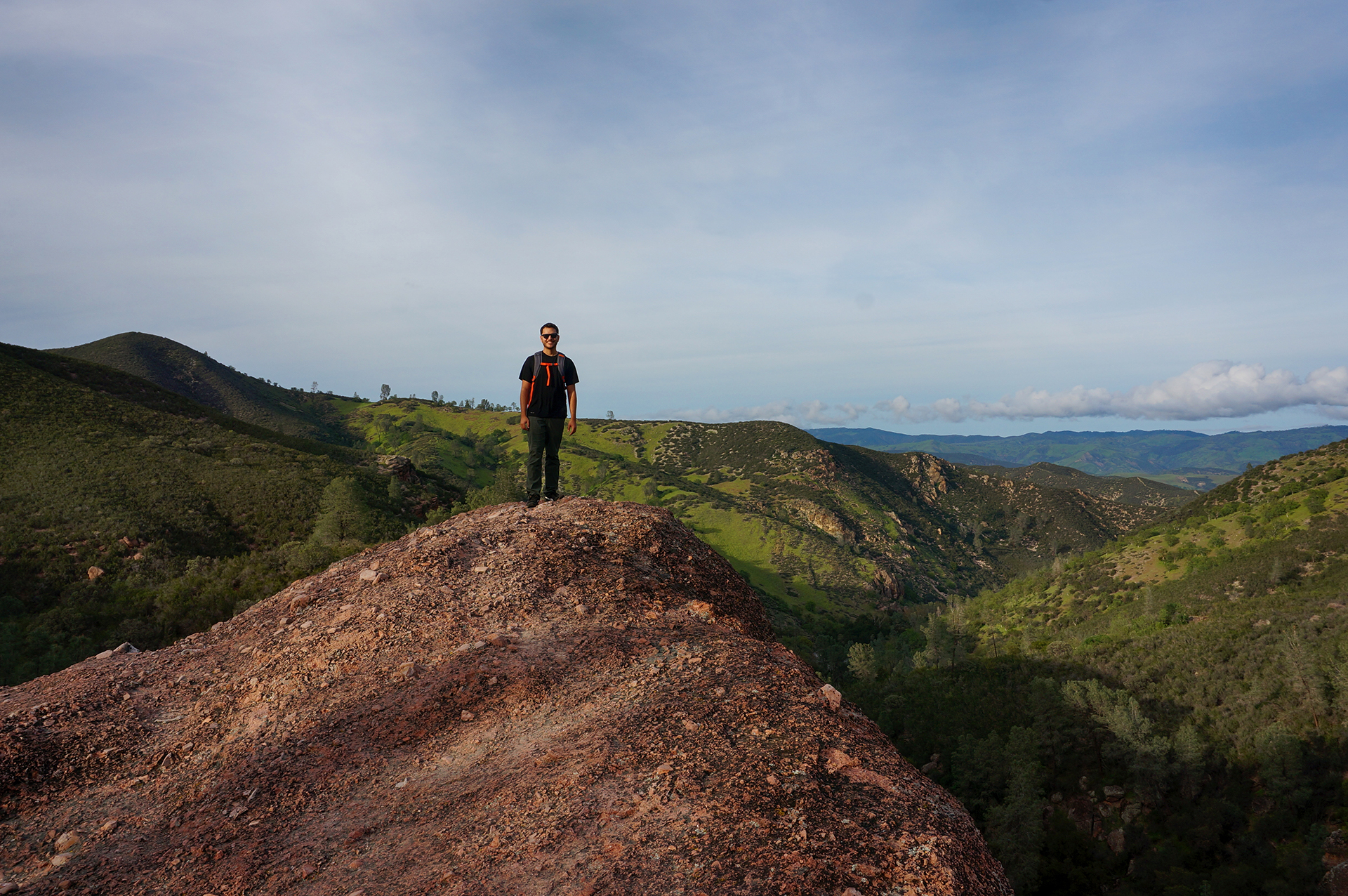
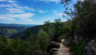
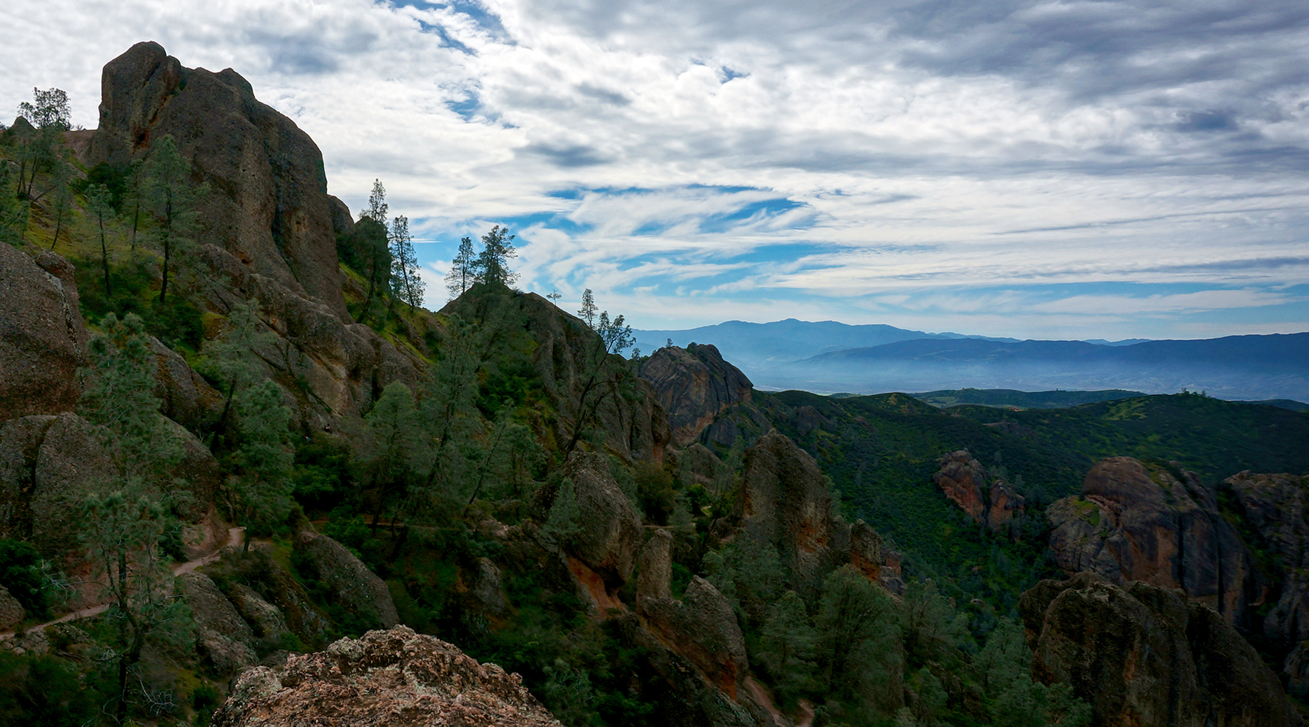
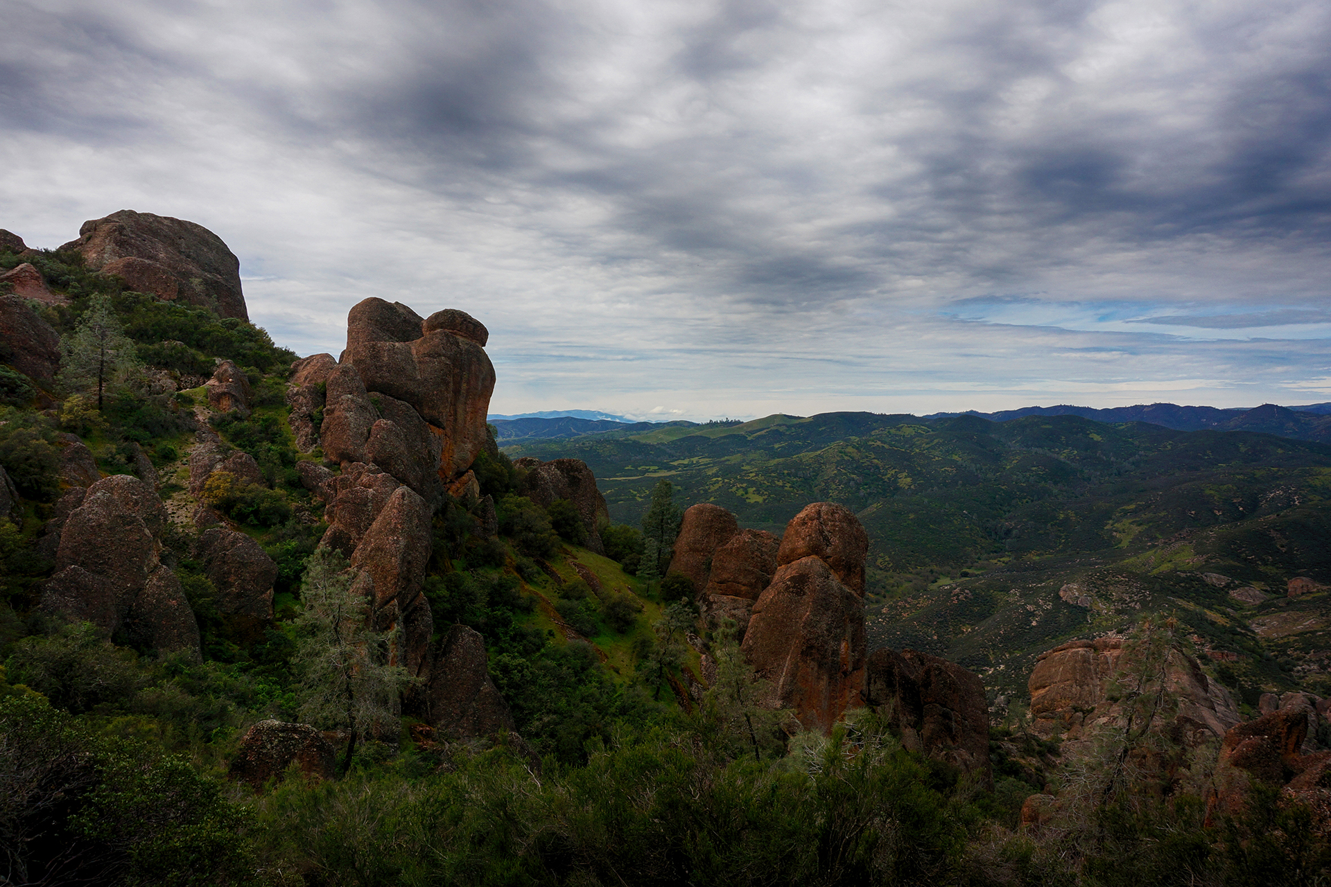
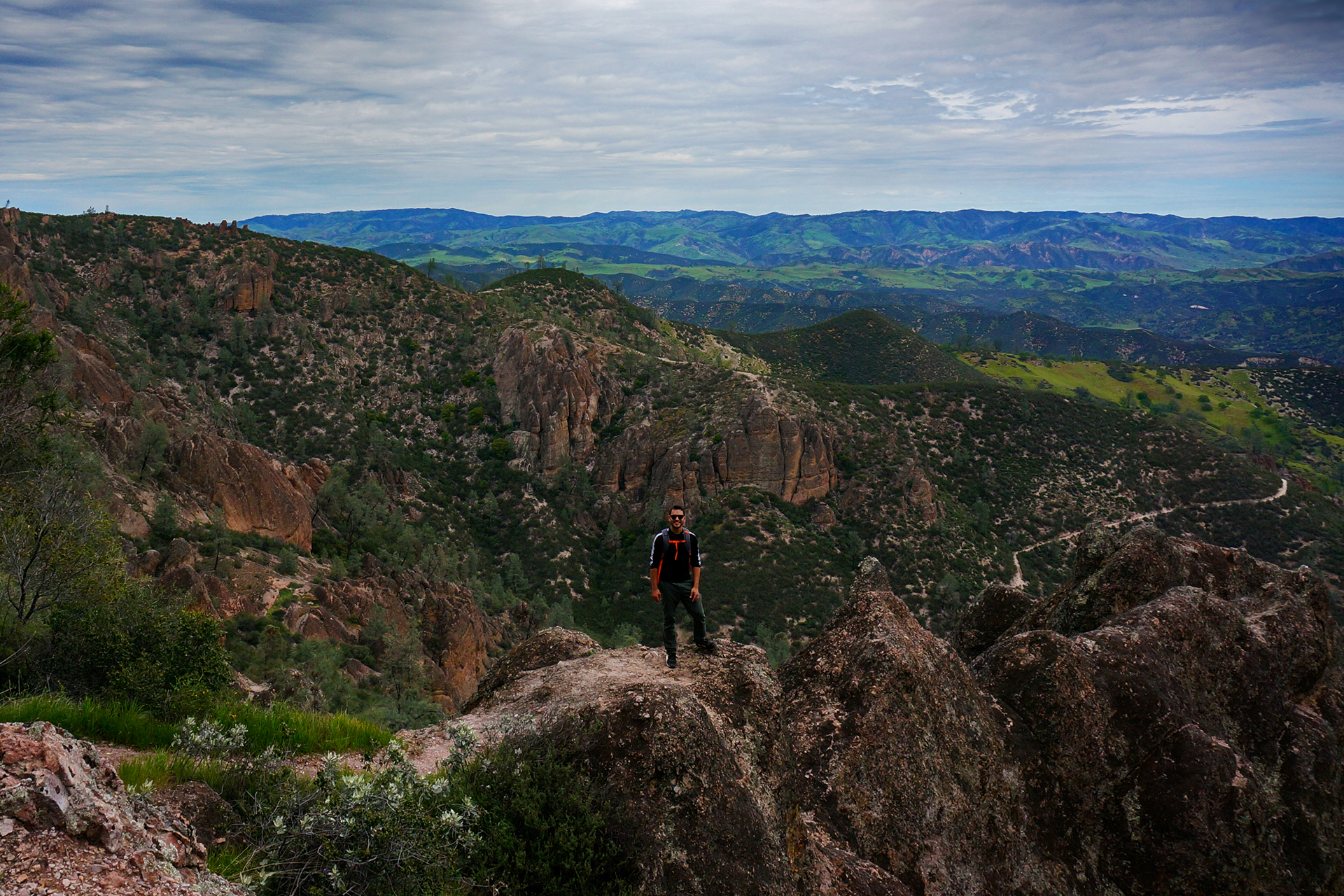
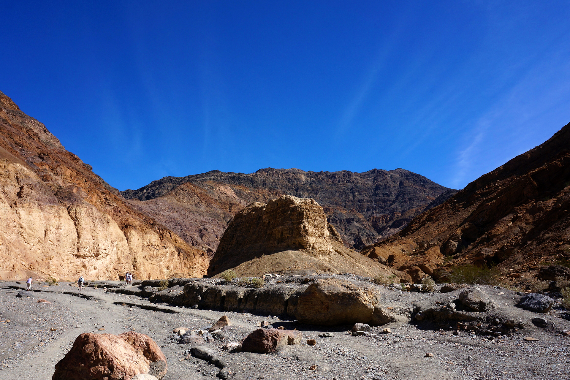
Gluttons for punishment (and maybe delusional from endorphins), we then somehow decided to do a “slight” extension to our hike by heading up to Yosemite Point (it’s the cliff in the upper left of the photo below).

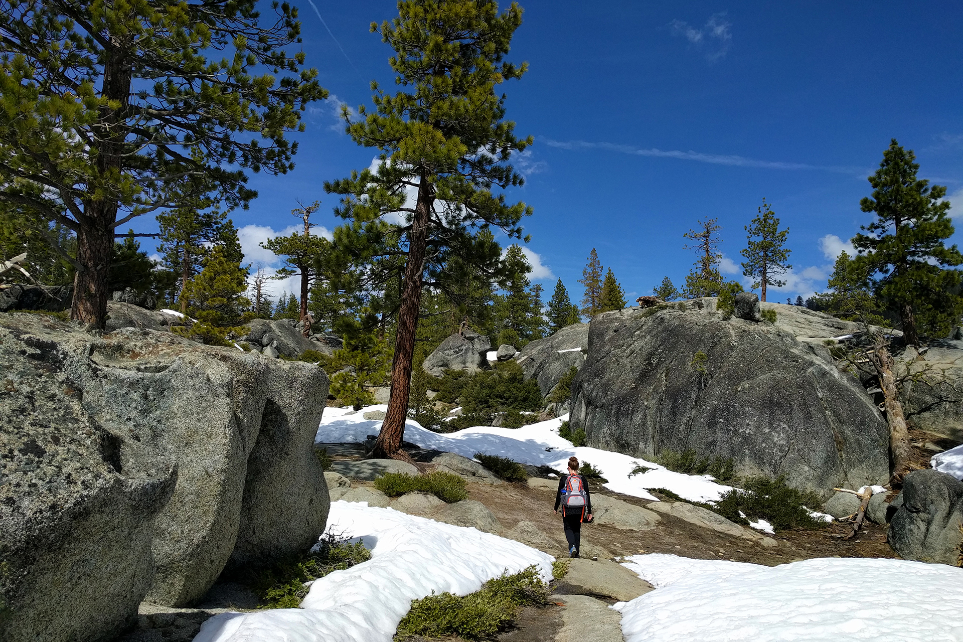
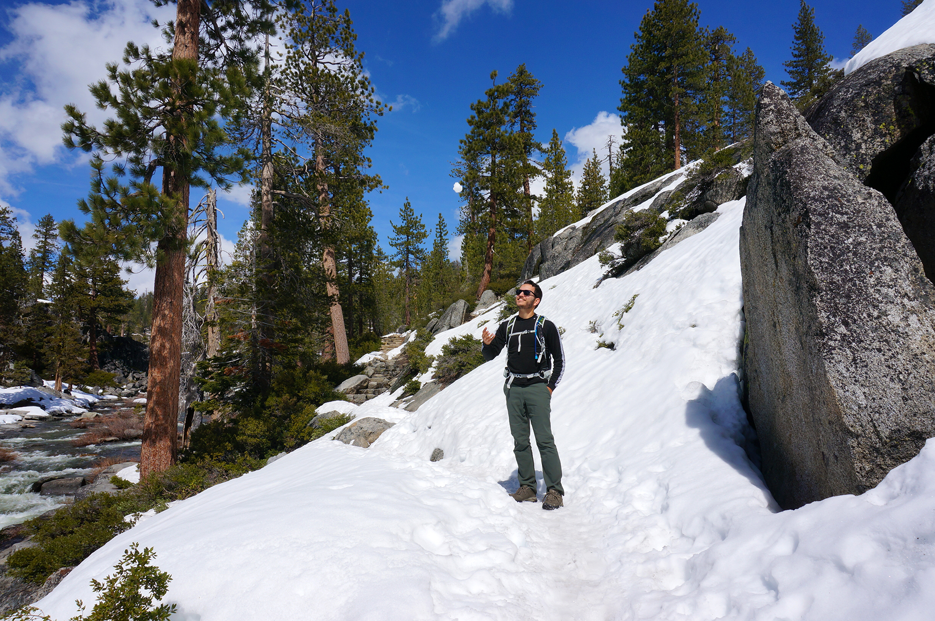
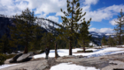
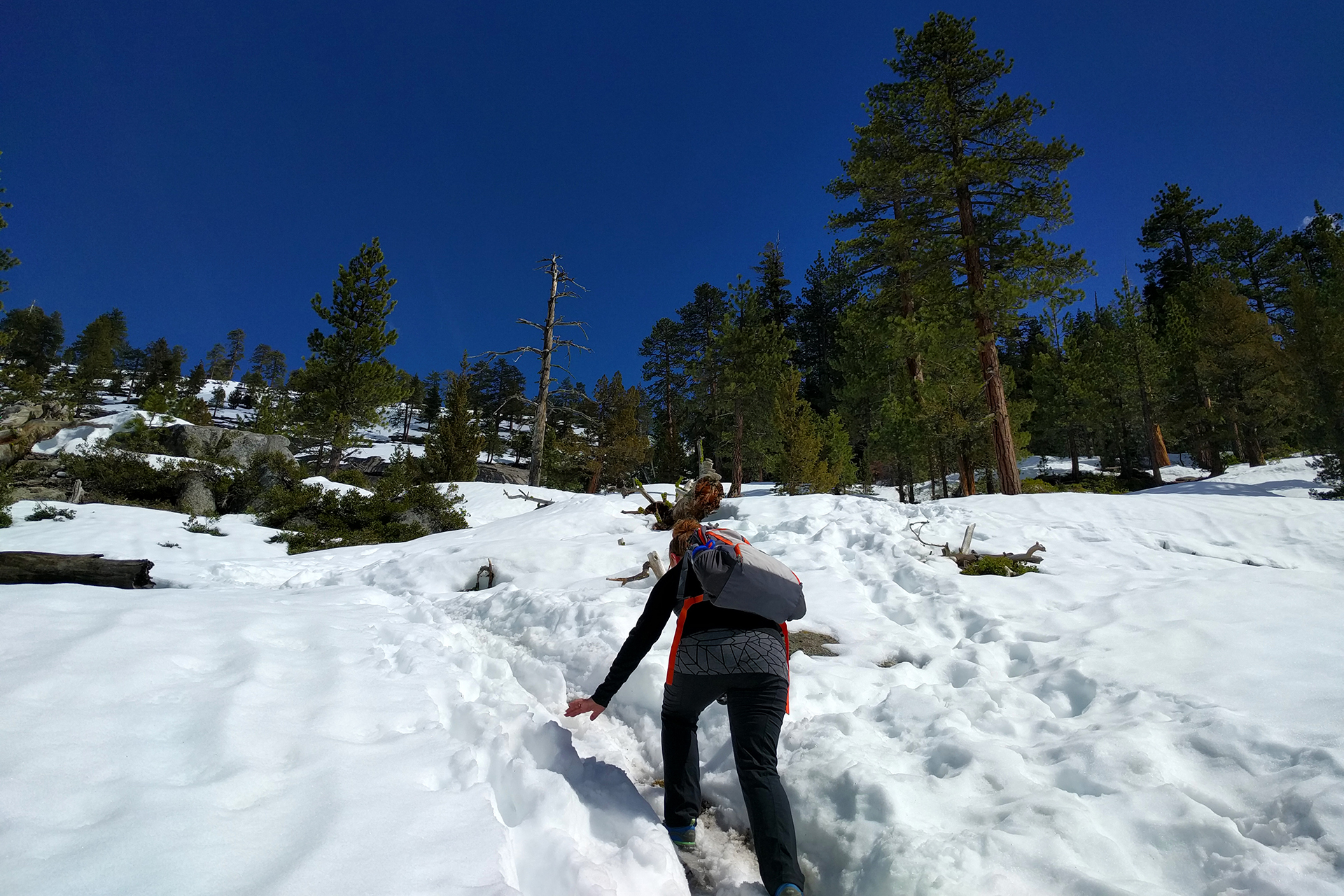
Only a half-mile each way, we didn’t realize this would entail walking further up a mountain through giant melting snowfields, the trail utterly lost beneath the snow.

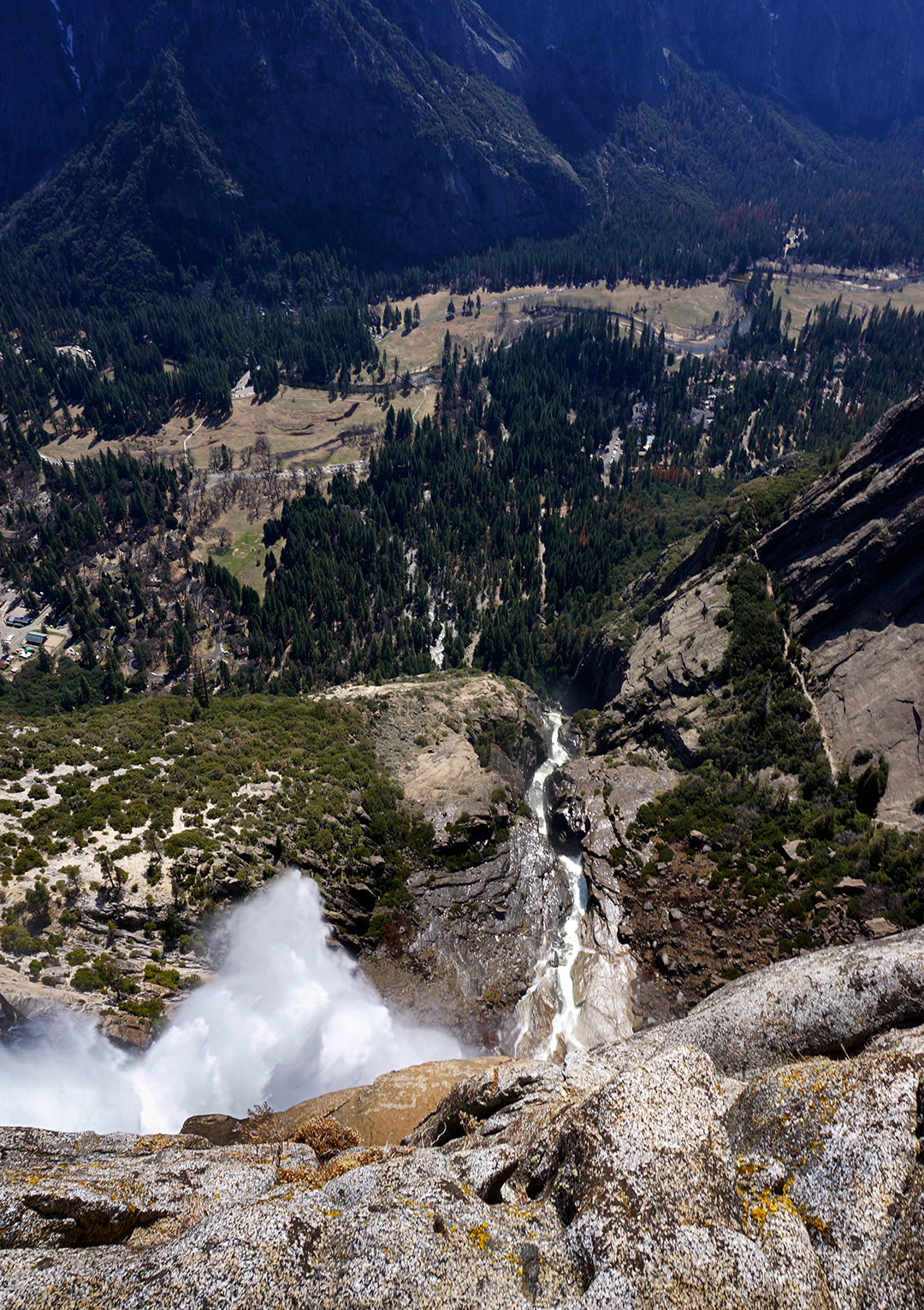
While hiking in the snow was challenging, it was pretty fun, especially since it was warm out. We tossed a few snowballs around, and it didn’t even occur to us that we were hiking next to, then above, the rapidly flowing river that becomes Yosemite Falls.

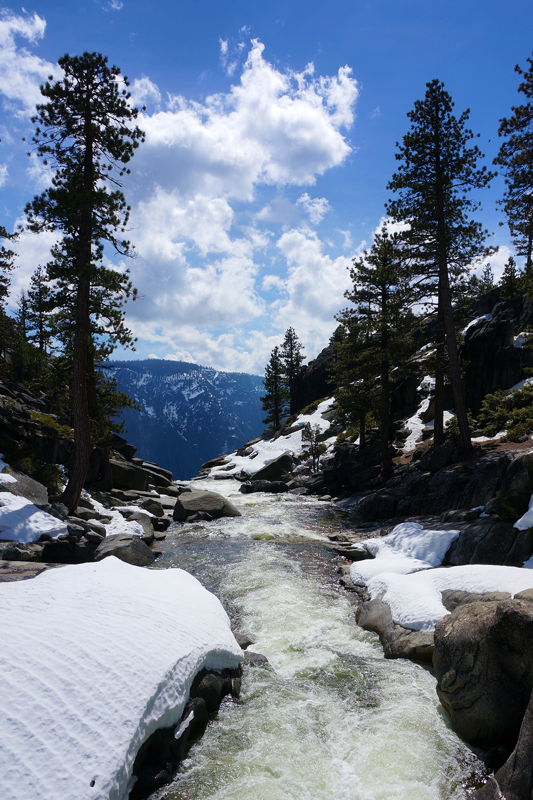
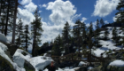
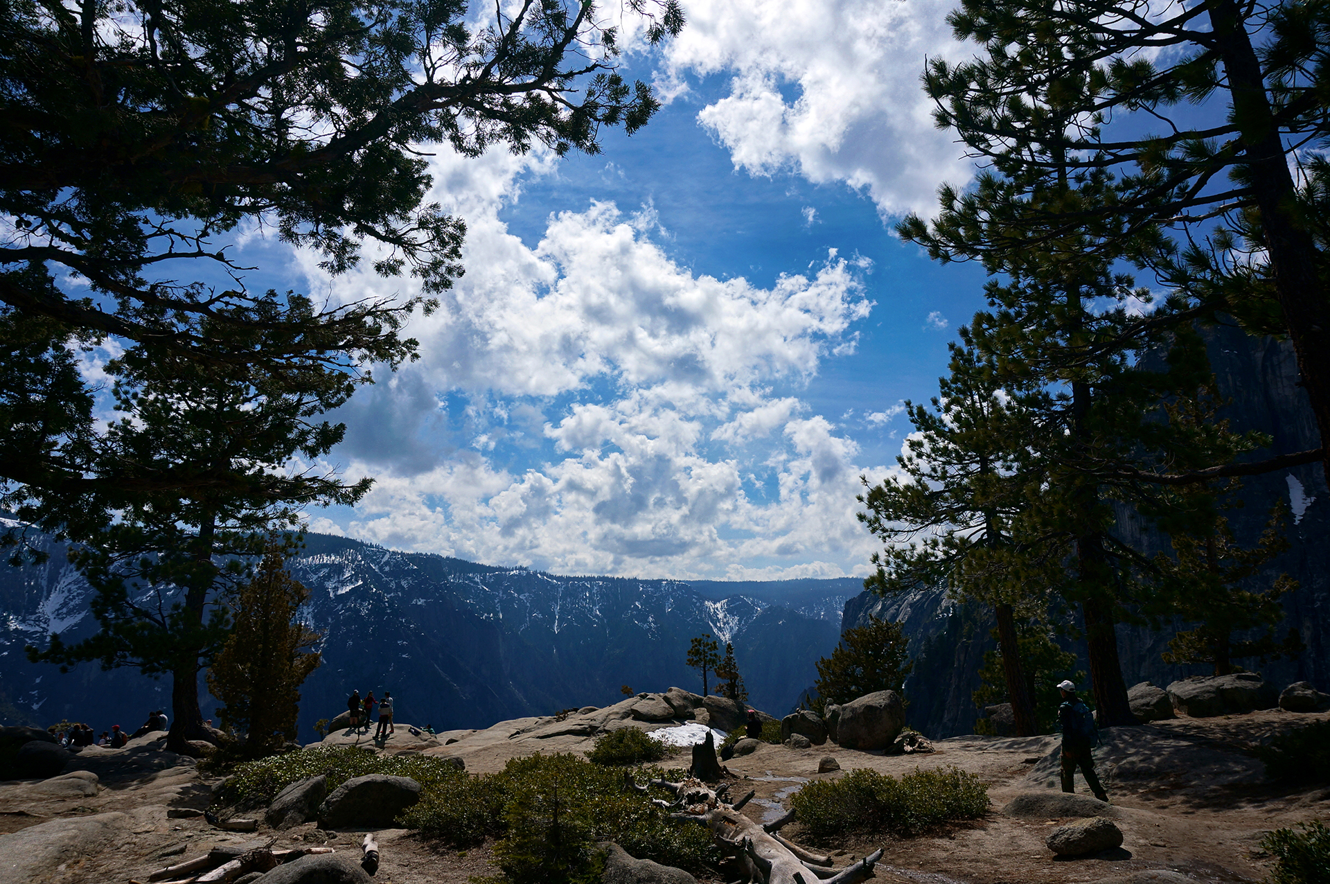
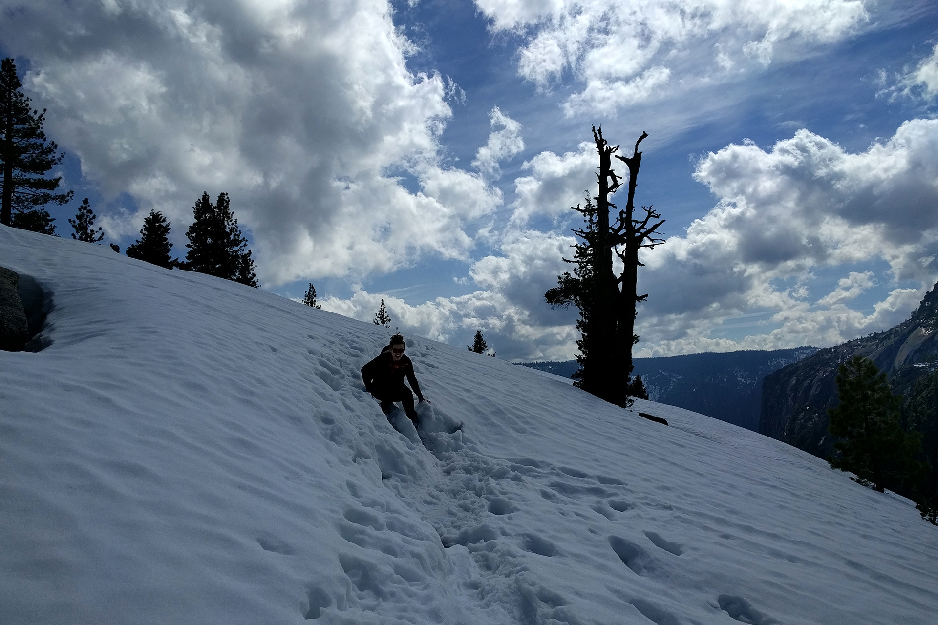
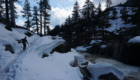
Even though we lost the trail a few times, our hike to Yosemite Point was well worth it. The views were spectacular, and almost no one else was around.

The way back down, however, was a different story. We did it gracefully, and definitely not by sliding on our butts down the hill and getting snow in every crack and crevice.

Definitely not.

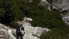
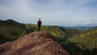
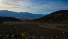
From there, it was still another 5+ miles back to our car.  Although it was downhill, hiking at this point was truly exhausting, and our feet and knees were screaming by the end.  Plus, Jake drank a full three liters of water on our climb, and there were no bathrooms or private spaces on the trail, so… he was very motivated to reach the bottom. Heather stopped to take a few photos of the valley and check out our fitbit stats, while Jake made a beeline to the facilities.

Crowding Around

Yosemite is amazing, but the unfortunate truth is that it is also very crowded. Even during March, with half the park closed, we encountered very long line at the entrance station.  Inside the Valley itself, there were thousands of people at any given time.  National parks are usually quiet, but Yosemite has its own federal courthouse inside the park.

We don’t mean to give the wrong impression – it’s great that so many people are out visiting such an awesome park.  But we saw so much bad behavior as a result of the crowds, stuff like slamming on the brakes in the middle of a 45 mph roadway – with no warning – because something looks pretty.  Or double- or even triple-parking in the closest parking lots, rather than walk 100 yards.  At one point, we saw an obese person driving around in a motorized Rascal with a basket full of snacks (seriously).

Again – this was in March! If you visit, and you should, we definitely recommend you go during the off-season.

Prospecting For Jerks

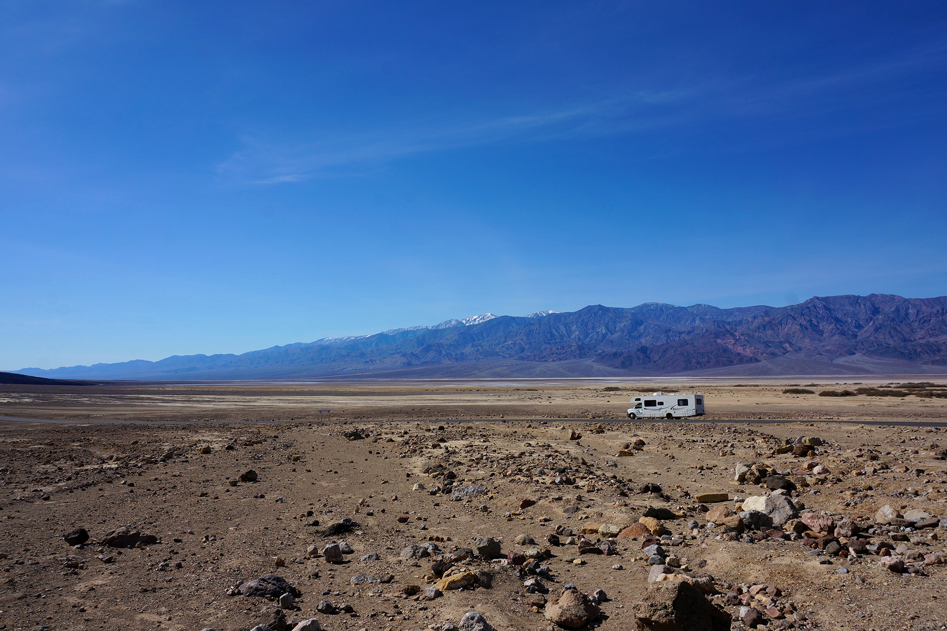
While visiting Yosemite, we stayed in the small town of Mariposa, which is about 45 minutes away (and a gorgeous drive). Mariposa is cute, with a “prospector” shtick, based upon its days as a mining town.  We stayed in the Mariposa Fairgrounds, which is basically a giant, empty grass field with power plugs.

We didn’t have much Internet, but everything was fine, until the biggest RV we have ever seen pulled in.  So large, it was pulled by a tractor trailer cab!  And… it parked right next to us.  Despite the fact that we were the only other people in a 100+ yard empty grass field.

We thought that was annoying, but they topped it by pulling forward to unload their ATVs from the back of their RV.  Instead of then reversing back into a spot, they ran extension cords out to their rig, which was now parked in the center of the field.  So despite nobody else being around, they managed to find the only possible way to be uncomfortably close to us.

Amazing stuff.

Roadtrip Status

Still alive?  Check.

Where are you now?  Ogden, Utah, just north of Salt Lake City.

Next location?  The Grand Tetons and Yellowstone National Parks!

Follow Us On Social Media

FacebooktwitterinstagramFacebooktwitterinstagram

Latest Posts

1

Week 38: San Franciscan Days

After a sodden weekend in Monterey and Big Sur, we headed further up the California coast to San Francisco and the Bay Area.  Neither of us had been to San Francisco before, but we both loved it.

Foreshadowing!

Power Trip

Before we got to visit the city, we had some RVing issues to deal with.  The first issue was finding a place to stay: as you might expect, San Francisco is not the easiest city to find close, comfortable, and inexpensive RV parking.  We did end up finding a campground that was cheap, comfortable, and close to San Francisco “as the crow flies,” but it turned out that getting there “as the RV drives” required a half-hour detour around a mountain range.  D’oh!  At least the drive was pretty, as was the campground.

The second issue was an electrical problem in our RV.  Every time we plugged our power cord into the brand-new power pedestal* at our campground, the pedestal’s circuit breaker tripped, so we couldn’t get any electricity in our motorhome.   A friendly mobile RV service technician came out and, unbuttoned pants barely hanging on his body, diagnosed our problem: an incredibly tiny fault in our electrical ground wire.  It was so small that only this brand-new power pedestal could detect it; we have stayed at dozens of other campgrounds without a problem.

The technician wasn’t able to fix the problem on-site, so he just disconnected the ground wire completely – and warned us not to use our toaster in the shower this week.  That did the trick, and we had sweet, sweet electricity again.  Maybe a little unsafe, but we re-wired everything when we left (and then fixed it for real later on).

Back in action!  Time to explore San Francisco.

* A power pedestal is basically a shielded box full of outlets that the campground provides for your parking space. 

Day Trip

After months dealing with the endless traffic in California, we were excited to visit a city with public transit.  We left our car behind and took the BART train in, spending the entire day walking and bus-hopping in a big loop through San Francisco.  It was glorious.

Here’s the details, for the interested.  We started out by grabbing some Blue Bottle iced coffee and walking to Union Square, then on through the dragon gate to Chinatown.  Quality ethnic restaurants are often in short supply on our trip, so we binged on some dim sum (yum) before working it off with a walk up to the famous Lombard Street.

We admired Lombard’s craziness, then headed down towards the water and Ghirardelli Square.  We strolled along San Francisco’s national historical maritime park and the Embarcadero, then stopped for a snack: an adorable, turtle-shaped piece of sourdough from the Boudin bakery.  (Check the pictures below.)  Despite its cuteness, we savaged its doughy body, and then hopped on a bus for the Golden Gate Bridge.

Then, we hopped off, spent 30 minutes figuring out the bus system, and hopped on the correct bus to the Golden Gate Bridge.

The Golden Gate Bridge is a beautiful landmark, but it doesn’t take long to see if you’re not crossing over it.  We took another bus back into the city, south to Golden Gate Park, where we strolled the meandering paths and admired the grounds.  It’s a really nice park, although I (Jake) hated the look of the De Young Museum, a deeply ugly monstrosity that does the exact opposite of blending in with its surroundings.  Heather was excited to see the museum, since she learned about it in architecture school, and she thought it was beautiful. Just kidding!  She really wanted to like it (emphasis hers), but ultimately had to acknowledge it puts the “ug” in fugly.”

At this point, tired of walking, we realized our bus ticket had only been vaguely stamped with the date – not the time – so we reckoned it should be good all day to do whatever we wanted.  (Also, nobody ever checked it.)  We took another bus down to the Painted Ladies, of Full House fame:

From there, another bus took us to the famous Castro district.  We really enjoyed the rainbow crosswalks, as well as the, um, “subtly” dirty shop names.

Finally, we walked to the Mission district and got burritos from La Tacqueria, winner of fivethirtyeight.com’s burrito bracket.  We have to say, the restaurant lived up to the hype – these were some amazing burritos!  Finally, after 10 miles of walking and eating our way through the city later, we took the train back, and enjoyed not having to drive (for once) while we listened to some Silicon Valley business nerds enthusiastically discuss “six sigma.”

Mystery Trip

We fulfilled a promise to our pre-roadtrip selves by taking the hour-long trip down to San Jose (quietly America’s 10th largest city) to visit the Winchester Mystery House.  The Mystery House is a huge mansion built by Sarah Winchester, widow to an heir to the Winchester gun family fortune, in the late 1800s and early 1900s.  She apparently believed she was being haunted by the ghosts of people killed by Winchester rifles, and so she built the house to appease and confuse the spirits.

Yes: “confuse the spirits.”  The Winchester Mystery House has doors that open onto brick walls, windows in the middle of rooms, and a staircase that leads directly into a ceiling.  We should note that it’s not clear to what extent these were intentional choices, as opposed to mistakes during design and construction.  Ms. Winchester designed the house herself, with no training, and built it ever-larger over the course of nearly forty years.  The home was under construction 24/7, and no blueprints exist.

The Mystery House may not be the most efficient of structures, but it is beautiful and unique. (We weren’t allowed to take photographs inside the mansion, so the last few pics are from here.)

Earth Trip

We planned to visit some bars and restaurants in San Jose after visiting the Mystery House, but as we drove through the city and saw a sea of green t-shirts, we suddenly realized that it was St. Patrick’s Day.  Whoops!  (We were barely aware it was March.)

In any event, we certainly weren’t going to brave the crowds of drunk-by-3-p.m. revelers just for the sake of it, so we headed back to our campground.  We ended up hiking around the park we were staying in, and were treated to some lovely views and what appeared to be a whole flock of endangered condors, right by a lake.  (Take that, supposed Pinnacles condor viewing!)

We don’t have pictures, but it was fun to watch them swooping and circling around us overhead.  Although to be honest, there were some moments when we thought they looked very curious as to whether we might be food.  In any event, we’re grateful for and really enjoy these kinds of random nature experiences.  It’s one of those things we always felt was missing in New York City.

Roadtrip Status

Still alive?  Check.

Where are you now?  Heading out of Moab, Utah, for Cortez, Colorado, and Mesa Verde National Park.

Next location?  Montrose, Colorado, to see the Black Canyon of the Gunnison.

Follow Us On Social Media

FacebooktwitterinstagramFacebooktwitterinstagram

Latest Posts

1

Week 37.1: Cruising on Highway 1

After some exhilarating hiking at Pinnacles National Park, we headed north for a quick stopover in Monterey, California.  The distance wasn’t far, but getting there required about fifteen miles driving on Route 1, a scenic highway notorious for its cliff-side curves.  Luckily, the section we drove in the RV was pretty straightforward, an especially fortunate fact given that wind was gusting the entire time.

If you’ve ever seen the extremely boxy profile of our RV, you might not be surprised to learn that driving it in the wind is a little like piloting a sailboat with an engine.  We battened down our hatches, however, and arrived at Monterey for a weekend that… turned out to be drenched with rain.

We used the one break in the storm for a trip down to Big Sur, described below.  Otherwise, we didn’t have a chance to do much sightseeing – the most exciting thing we did in Monterey was get some new hiking gear at REI.  (Worth it!)

Scenic Drive

With our in-town options washed away, we spent our few precious sunlight hours driving down to Big Sur, a heavily forested coastal area accessible only by Route 1.  The term “Big Sur” encompasses several state parks and a national forest, but it is mostly known for spectacular driving, hiking, and coastal views.

We’re happy to report that Big Sur did not disappoint.  The stretch of Route 1 we drove on with our RV was pretty milquetoast, wind aside, but the drive from Monterey to Big Sur is anything but.  The road winds its way around gorgeous coastal cliffs, and while it can be quite curvy, it never felt unsafe.  The scenery was more than worth it, with jaw-dropping views of mountains meeting the ocean that are second only to those found in Acadia National Park.

A particular highlight was Bixby Bridge.  As stunning is it was full of selfie takers.

That said, while the bridge is cool, few places on Earth can match the surreal beauty of our next stop.  At McWay Falls, a waterfall drops down 80 feet onto a pristine ocean beach.  Unfortunately, you can’t actually get down to the beach, but the view is amazing nonetheless.

Even cooler?  Prior to the land being gifted to the state, people lived in a house where that photo was taken.  Imagine that as your backyard!

We Made A Huge Mistake

Our final destination on Route 1 was Julia Pfeiffer Burns State Park, where we hiked the Ewoldsen Trail.  Recommended by several websites, it was definitely a nice hike, but it turned out to be a lot more, well, grueling than we expected.  We expected a quick four-mile loop, and instead got something like six, with a total elevation gain of more than 2,000 feet – more than the highest hikes at some national parks!

But we made it, and we have the pictures to prove it.  This was our first-ever visit to a redwood forest, and we were amazed at the size of some of the trees.  As we later learned, however, the trees in Big Sur are almost all “new-growth,” i.e., cut down by settlers sometime in the 1800s and since regrown.  The really big trees are much, much older; for California redwoods, a 200 year old, 150+ foot tall tree is basically just a baby.

Don’t worry.  The adults are coming up soon.

Roadtrip Status

Still alive?  Check.

Where are you now? Moab, Utah.  So hot right now!

Next location?  Mo’ Moab, at least for a bit.

Follow Us On Social Media

FacebooktwitterinstagramFacebooktwitterinstagram

Latest Posts

1

Week 37: Pinnacles of Hiking

After a wet week in Morro Bay, we headed up the California coast on Highway 101.  Our destination was the 59th and newest national park, a place that most people probably haven’t even heard of: Pinnacles National Park.

Spoiler alert:  It’s awesome.

Exactly Like The Stone Age

Pinnacles is more or less in the center of California, fairly close to a lot of population centers, but it felt very remote.  Highway 101 is about a half-hour away, connected by beautiful, curvy roads that might have been our favorite RV driving of the entire trip.  Our campground at the park had electric hookups, which is somewhat rare and very welcome for a National Park, and it was spacious and empty.

The one drawback – if it is a drawback – is that Pinnacles has no cell service whatsoever.  We’ve stayed in some fairly remote places, but the Internet blackout at Pinnacles was the most complete yet.  Even Death Valley and Big Bend had service sometimes.  The lack of Internet terrified us at first, but to be honest, it was actually kind of nice.  It’s so rare to be able to silence the outside world completely, and we found that not having the Internet as a time-waster made us incredibly productive.

In three days, we wrote six blog posts, deep-cleaned our living space, made a video tour of our RV, and went on two mind-blowing hikes.  Incidentally, we got about 95% of the way through editing that video tour, but then we got our Internet back, and never finished.  There is probably a lesson to be learn-

ooh, Facebook notification!  Better check that out.

To The Batcave!

The primary thing to do at Pinnacles is hike.  The park area is fairly small, so unlike most of the national parks we have visited, we actually got to see most of it.  On our first day, we hiked down to some talus caves, which are essentially canyons that have been roofed over, incompletely, by boulders.  While some sunlight enters the caves through cracks, other places are completely dark. Bats apparently love them.

The talus caves at Pinnacles blew us away.  They were too dark for good pictures, so here’s what it was like: we were completely alone inside the caves (it was a weekday afternoon), hiking over and through a swollen stream that ran down the center of the trail.  The dim, inconsistent sunlight, along with our dim, inconsistent flashlights, created dramatic shadows that jumped and flickered as we went deeper into the cave.  We heard – and felt – a roaring waterfall, hidden in the darkness, glimpsed only through the occasional beam of illumination.  It was wet, disorienting, and utterly amazing.

We climbed a narrow metal staircase alongside the waterfall and emerged, blinking, into the sunlight.  The wet and wild caves receded, and we continued on.  Soon, we found ourselves walking an ancient stone stairway, underneath a boulder…

… alongside another waterfall – and yes, it was as awesome as that sounds.

There was a lot more, including beautiful views of a reservoir and some adventurous cliff-side photo-taking, but no need to type it out.  Take a look at the pics below.

The Pinnacle of Pinnacles

After exploring the talus caves, we figured things couldn’t get any better, but we were wrong.  The next day, we embarked on a long hike through the center of Pinnacles National Park, walking the top of a ridgeline for miles.  It was definitely a tough hike, but the views were staggering.

The beginning of the hike switchbacked up a lush mountain trail, where we caught views of the rocky peak that we would soon be hiking along. The sky was ridiculously blue, the grass was super green, and there were pretty wildflowers everywhere.

Eventually we reached the top, and enjoyed views in every direction from the ridgeline.  Continuing on, we came to our favorite part, the High Peaks section.  The trail here featured iron bar ladders, narrow pathways, and tiny, hand-carved stone steps.  These are fun hiking features in general, but on the top of Pinnacles, you navigate them just a few feet from thousands-foot high cliffs.  With the wind blowing like crazy, it definitely got our blood pumping!  But we’re all about adventure, and friends, it doesn’t get much more adventurous than this.

Definitely one of our favorite hikes of all time.

Flora and Fauna

Two final things before we sign off.  First, Pinnacles is known as an endangered condor nesting ground / sanctuary, and birdwatchers were extremely common throughout the park, excitedly binocularing the birds soaring around overhead.  That’s all fine, but you know what?  We saw about a million condors while on the West Coast, and we saw them absolutely everywhere, except at Pinnacles!  Weird.

Second, there are some really big pinecones at Pinnacles.

Roadtrip Status

Still alive?  Check.

Where are you now?  Moab, Utah, getting “caught up” on our blog posts.

Next location?  We had to give up on our plans to see Monument Valley, where the Westerns were won, due to extreme heat, so we’re just going to chill here for a few more days.

Follow Us On Social Media

FacebooktwitterinstagramFacebooktwitterinstagram

Latest Posts

1

Week 36.1: Morro Bay Rocks

Our visit to Las Vegas was memorable, especially the Valley of Fire, which was a fitting end to our time in the desert (at least for a while).  From Las Vegas, we left early in the morning for the coast of California, 420 miles due west and the longest drive we’ve taken in our RV.

The trip took about 9 hours, and we passed through an incredible array of landscapes.  The most striking was the Mojave desert, utterly dry – this was the rare desert that is actually just sand.  The interstate highway we were taking then ended, and we continued on single-lane roads into the central California valley, bustling with industrial agriculture.  From there, it was on to the rolling foothills near the coast.   Coming from the desert, we were excited to see grass carpeting the hills, especially since the early spring grass in California is electric green.

We stopped for a brief rest / photo op.  Soon, twisting and turning our way through the hills, we made it to the small town of Morro Bay, and parked our RV in a campground about 100 yards from the beach.  So long, desert!

Rock On

The highlight of Morro Bay is Morro Rock, a volcanic plug that rises strikingly from the Pacific Ocean just off the beach.  It’s dominatingly huge in person.  The weather wasn’t great while we were there, but the clouds just ended up making the rock look even more magnificent.

As for the town itself, well, Morro Bay is a beach town through and through.  It’s probably a lot of fun in the summer, but this was early March, and the weather was gloomy and cold (mid-50s).  So, it would be an understatement to say there wasn’t much going on.  The streets were nearly deserted, and while some stores were open, the clerks inside seemed confused by our presence.

At least the sunsets still brought their A-game, tourist season or not.

Morro Bay is close by to San Luis Obispo, a charming college town about 20 minutes away.  We visited for Jake’s birthday and enjoyed some great burgers and beers, beautiful scenery, and eclectic shops.  There was a speakeasy-type bar underneath a barber shop, a pretty old mission church, and a fairly horrifying gum wall.  What else could a man want?

News Castle

We were in Morro Bay for a week, but it rained so much we didn’t really do all that much.  Our most interesting side-trip was to Hearst Castle, a real-life castle made by William Randolph Hearst from the purchased remnants of European structures.  The view from its many balconies is breathtaking, and the castle itself it beautiful, as are the many surrounding guest houses.

The indoor pool is particularly spectacular. Those are 24-carat gold-infused tiles lining the ceiling, floors and walls.  It’s the only way to swim!

Hearst apparently had a constant, unending party at this castle for decades, inviting famous celebrities, athletes, dignitaries, and others to stay and enjoy his legendary hospitality.  It was pretty nifty to sit and watch a short film in the same theater that Charlie Chaplin (and many other famous movie stars) sat in.

Interestingly, after Hearst died, the entire place was closed and then turned into a museum, almost overnight.  Guess he was the literal life of the party.

The Truest Repairman

We did have one other cool experience while in Morro Bay, of an unlikely type.  We visited a local automotive repair shop for help with an engine issue that had been troubling our Honda Fit since our drive back and forth across the country for the holidays.  Don Truhitte, the mechanic and owner of the shop, was an awesome and knowledgeable guy, but the part replacement he made didn’t totally fix our issue.  We don’t really blame him, since two other garages also failed to figure it out.  The car was not reporting the root problem correctly in its diagnostics (valve adjustment needed).

Don did ultimately determine that a valve adjustment was needed, but we had to get going to our next stop, so there was no time to do the work.  He felt so bad about not being able to fix it that he discounted our bill considerably.  That was nice!  But then, as we were leaving, he walked over and gave us another $50 in cash – refunding his entire labor charge.  We tried to refuse since he had worked for hours on our car, but Don insisted we take it, even though he knew we were traveling through and would probably never be back to Morro Bay.

Now that is some honest service!  We’re still pretty amazed.  Thanks for being one of the good ones, Don.

Roadtrip Status

Still alive?  Check.

Where are you now?  Moab, Utah.  It’s hot!

Next location?  We’ll be here for a week, then on to Monument Valley and a place called “Mexican Hat” (for real!).

Follow Us On Social Media

FacebooktwitterinstagramFacebooktwitterinstagram

Latest Posts

1

Week 36: Vegas, Baby!

Death Valley National Park was awesome.  However, it lacked some of the things we’ve grown accustomed to, like electricity and Internet, and we are Millenials through and through.  We will happily live, drive, cook, shower, and poop all in one vehicle, but not being able to browse reddit is a dealbreaker.

So, we hitched up our electric wagons and drove towards Las Vegas.  Let us tell you, friends, there is a whooooole lot of nothing between Death Valley and Vegas.  It’s as empty as a New Year’s resolution.  The only point of interest was a gas station on the California / Nevada desert, where we had planned to fill up.  When we arrived, we discovered that the gas station was named “Area 51” and it was decorated extensively with green alien stickers, statues, and banners.

That was weird enough, but it got stranger.  Because it was in Nevada and this is legal there, there was also a brothel.  Right behind the gas pumps.  Looked just like a motel, except charging more of an hourly rate than daily (we assume).

We were a little unsure of how to handle this unexpected scenario, so we ended up driving by it altogether.  That was a mistake – it turned out there weren’t really a lot of other gas stations for the next 50 miles, or any for that matter, and things got a little hairy, fuel-wise.

On the other hand, neither of us got VD.

The Strip

Las Vegas has a LOT of RV parks because it’s a popular destination for the winter snowbirds.  We are talking about winter travelers, of course, not actual birds – there isn’t a whole lot of nature going on in the City of Sin.  This was both of our first times there, so we did take a visit to the famed Strip, but we can’t say we were too impressed.

The Strip is an impressive display of commerce, but it feels like everything there is designed to siphon money from you (and it is). It’s like a retail/gambling version of the Vampire Squid article about Goldman Sachs.  Not wanting to repeat the plot of the movie Lost in America – which we were warned about many times, for obvious biographical reasons – we decided not to gamble, and without that, the only option that seemed to be popular was getting drunk on something neon-colored in a 30-ounce cup.

We declined that option as well, and just wandered around for a bit before returning to our RV.  Maybe we’re just getting old, but the fountains at the Bellagio were our favorite part.

Our phone pictures were bad, so photo credit: Wikimedia.

Better Than The Strip

We expected all the above, so we came prepared with nature-related backup plans.  We first visited the Hoover Dam, where we admired the engineering and the art deco styling. We also got a great view of the dam from the Mike O’Callaghan–Pat Tillman Memorial Bridge, which was completed in 2010, and rerouted US highway 93 – the only way across the canyon – from its previous path along the top of the Hoover Dam. We can’t even imagine how much of a bottleneck US 93 must have been prior to 2010, since the road across the dam is full of pretty views, hairpin turns, and tourists that do not understand how sidewalks work.

To put it another way, if you enjoy commuting through an active farmer’s market on the edge of a cliff, this is the drive for you.

We also enjoyed some views of lovely Lake Mead, the reservoir behind the Hoover Dam, which was very low at the time.  The white “bathtub ring” in our photos shows you the old water level. The reservoir has since dropped to its lowest level ever, which we’re sure is nothing the Southwest needs to worry about.

The Hoover Dam was cool, but our favorite trip was further out of town, at the Valley of Fire State Park.  The landscape here was stunning, and possibly Heather’s favorite of our entire trip so far.  The desert rock formations were varied, colorful, and highly reminiscent of a Roadrunner / Wile E. Coyote cartoon.

We took a hike through the White Domes area, which featured great views and spectacular, colorful, wind-eroded rocks that alternated layers of orange, white, pink, and yellow sandstone. Pretty! It also had a great, narrow slot canyon, which is our favorite hiking feature.  Spooky!

Another one of our favorite features of the park was the Dr. Seussian landscape at “The Wave.”  The bright swirls of colors are really like nothing else.  Maybe the world’s biggest and least-edible latte art?

There was a lot more, including petroglyphs and an old movie set.  As it turns out, many movies have been filmed in the Valley of Fire, including Casino, Austin Powers, Con Air, Total Recall, and the first Transformers movie.  We can see why – the backgrounds are magnificent, and the cars here turn into giant robots.  (Probably.)

Such a cool place.  If you ever have a day to kill in Vegas, the Valley of Fire is a must-visit.  Even if you don’t have any time to hike, the road through the park is super cool!

The only downside?  It felt like we took about half the park back with us inside our shoes.

Then again, every good trip needs a souvenir!

Roadtrip Status

Still alive?  Check.

Where are you now?  Bryce, Utah, tired out after exploring Bryce Canyon National Park and its famous hoodoos!

Next location?  Capitol Reef National Park, followed by a week in Moab to visit Canyonlands and Arches National Parks.  We lead a tough life.

Follow Us On Social Media

FacebooktwitterinstagramFacebooktwitterinstagram

Latest Posts

1

Week 35: Death Valley Is Incredible

People often ask us what our favorite place has been so far on our trip.  Well, there have been quite a few. We covered one of the places in our last blog post: San Diego, “the land of perfect weather and also lots of beer.”  As luck would have it, our next stop also turned out to be one of our favorites: Death Valley, “the land of perfect February weather and also has some beer.”

Whoopsie Goldberg

It’s a long 362 miles from San Diego to Death Valley, and we unfortunately had a bit of a rough start.  About 20 miles out of San Diego, we stopped to get gas in a suburban gas station that looked like it would be big on the GasBuddy map.  Unfortunately, the station turned out to be very small.  Stubbornly, we tried to drive into the station anyway, but we ran into some problems.

Well, more accurately, we ran into a cement pole.

It was really just a scrape along the side of the RV, but we got a little stuck.  A little-known fact is that an RV pulling a car towed “flat” (i.e., not in a dolly) cannot back up without causing serious damage to the car.  As you probably guessed, that is how we pull our car, so it took a little while – and some frantic unhooking – to get things sorted away.  In the end, it wasn’t so bad: the RV was basically fine, minus an inconsequential dent and some paint, and the cement pole didn’t even seem bothered.

Our takeaway from this misadventure?  Never leave San Diego.

Drive into Death

After feeling like novice RV drivers, we shook off our little blunder, and marched on to Death Valley.  The drive took us back past Los Angeles, up and over a fairly serious mountain pass, and then into a long descent into a broad plain.  The population began thinning out, and we passed Barstow, then Baker (home to a giant thermometer – don’t visit in the summer), and the road to the Scrabblicious town of Zzyzx.

We turned off the interstate, and towards Death Valley… another 120 miles away.  It was dark by the time we made it to our campsite, basically a painted rectangle in a big dirt parking lot.  We definitely annoyed our star-gazing neighbors with our headlights as we tried to back into the spot in the dark.

We couldn’t see anything outside except for a different neighbor, who was watching a black and white movie outside, on a big-screen TV, using a fairly loud generator.  (We declined his invitation to join.)  So, we went to bed, and the next morning, we awoke to a pretty magical place.

Welcome to Death Valley

The first thing you should know about Death Valley is that it’s a National Park, which means that it’s awesome, and the second thing is that it is huge.  More than 5,200 square miles – roughly the size of Jake’s home state, Connecticut.  It is in California, which is the size of 32 Connecticuts, and it’s tucked away in the eastern part, near Nevada.  There isn’t a whole lot around.

Now, just about everyone has heard of Death Valley, and they probably know it is dryhot, and low.  All of those things are true – much of Death Valley is dry and hot, and the low parts are very low: at 282 feet below sea level, it is the sixth-lowest place on Earth (just ahead of the smelly Salton Sea). But most people (like past Jake and Heather) do not know that Death Valley is also full of stunning mountain ranges, beautiful rock formations, and towering sand dunes.

If you go hiking up in the mountains, you’ll find some very unexpected things, like a waterfall.  And if you are lucky enough, and visit during just the right February, you will be treated to something spectacular: a once-in-a-decade wildflower superbloom.

Death Valley National Park is a totally unique, beautiful, and surreal world, the ultimate desert. The mountains and rocks here are not gray and featureless, but vibrantly colorful.  There are salt flats, shimmering white, covered with undulating patterns.  There are sand dunes, canyons, and arches, and the stars shine brighter in Death Valley than almost anywhere on Earth.  And when we were there, it was carpeted with wildflowers.

Flower Power

Death Valley experienced a wildflower “superbloom” this Spring, basically because it rained last October.  We understand it is normally bare, but when we were there, the flowers were growing everywhere throughout the park.  Vast fields of yellow flowers covered the rock, flecked with white and purple flourishes like paint from a flicked brush.

The flowers were a constant companion in our exploration of Death Valley.  Unlike most places you see flowers, these grow on what otherwise looks like bare rock, so there’s nothing green behind it.  The effect is totally unique, seemingly flaunting the impossibility of what nature has produced.

Like everyone else at Death Valley, we also took their picture!  A lot. It wasn’t unusual to see people pulled over on the side of the road, wandering into the wildflower meadows with their cameras.  We did it too, and we have to say – frolicking through a wildflower meadow was definitely not what we imagined when we decided to visit Death Valley.

We Went Down, Down, Down

There was a lot to see in Death Valley, so we’re going to start at the bottom and work our way up.  The most famous part of Death Valley is the salt flats, specifically the area named Badwater Basin (named for a small pond you definitely don’t want to drink from). As we mentioned, it sits at -282 feet below sea level, making it one of the lowest places on Earth.

The salt flats are the result of thousands of years of flash floods, which wash salt and other minerals off the nearby peaks and into the low-lying valley before evaporating.  The salt forms into an array of geometrical patterns, endlessly shifting with the wind.  Although the temperature was comfortable, the sun was blazing; if we had visited in the summer, it would have been brutally hot.

An amazing fact about Badwater Basin is that it runs along a mountain range, or really, is part of it – imagine a flat plane, like a piece of plywood, that has been flipped up nearly vertically.  The result is that the peaks just a few miles away rise to more than 11,000 feet.  Seeing something that high from one of the lowest places on earth is surreal.

After Badwater Basin, and some more wildflower frolicking, we came to the awesomely-named Devil’s Golf Course. Speaking of an endless array of geometrical patterns, the shapes formed here are truly fascinating. However, the little salt and rock spires are sharp, and extremely coarse – signs warn you very strongly not to fall over onto them.

But we went out and took a few pictures anyway, because #YOLO.

Canyonero

The geology of Death Valley is extremely varied, and goes far beyond murderous salt flats.  One of our favorite features was the numerous slot canyons.  We walked through the Golden Canyon, which twisted and turned before opening into a much larger canyon.  We met a woman here on crutches – she had apparently just broken her foot, but decided to go through with her vacation anyway.  Hardcore!

We also drove up to Mosaic Canyon, which is about 1.5 extremely bumpy dirt-road miles off the main drag.  It featured incredibly smooth marble walls that were glorious to touch, as well as coarse, aggregate walls studded with millions of tiny rocks (the “mosaic”).  Extremely cool.

We also walked through the canyon at Natural Bridge, which unsurprisingly features a… natural bridge (arch). The views of the salt flats from here, seen over a verdant field of wildflowers, was simply stunning.

Painting With Minerals

Death Valley, like the Petrified Forest, offers lots of vibrantly colorful badlands.  We drove the park’s popular loop road, the beautiful Artists’ Drive, and gawked at the scenery the entire way. The crown jewel is called Artists’ Palette, a rock formation that looks as though each face was painted a different hue.  We don’t really know how this happens, but we suspect the culprits were highly aesthetic witches.

Nearby, but on the other side of the mountain range, was Zabriskie Point. This spot is known for its beautiful sunsets, and we saw a good one, albeit not as mind-blowing as it can apparently become.  Frankly, it didn’t matter – the infinitely varied badlands and the views of the valley are pretty under any kind of light.

Sand Dunes and Star Wars

One of the most famous features of Death Valley are the Mesquite Sand Dunes, which appear in lots of movies, including the first two (original) Star Wars.  Actually, lots of Star Wars scenes were filmed in Death Valley, as this fascinating guide shows.  In any event, we love us some sand dunes, since they are great for photographing.

With all the other things to do, we didn’t spend as much time here as at White Sands National Monument, but we did find time to recreate our Nothing Mundane mark

High Desert

Alright, enough of this low desert stuff.  We spent an entire day driving west from our campground (reminder: Death Valley is huge) to explore the numerous mountain ranges in Panamint Springs.  We went up and over a high pass, down into a low valley, and up and over another pass.  Whew!

We’re definitely glad we did all this, because this was one of the most unique drives we’ve ever taken. The horizon is so flat we often couldn’t even tell we were going uphill!  At one point, we thought our car was having mechanical problems because the RPMs were so high. However, we realized when we drove back the same way that we had just been going up a massive grade – totally unaware of it.

Flat or inclined?  It’s surprisingly difficult to tell.

At every point along the way, the mountains and the views were magnificent. The highway hugs the cliffs while spiraling around the peaks – definitely not the kind of place you want to speed (although, of course, lots of people did).  Also not a good place to have your brakes fail… and ours did not, so thanks, fly-by-night mechanic from New Jersey!

In between two mountain peaks, we entered a crazy valley, traversed by a steep but perfectly-straight road. The flats here, different from Badwater Basin, offered their own grand views.  And since it’s 2016, beyond the normal selfies, there were people modeling here for a photoshoot.  In the absolute middle of nowhere.  We live in strange times.

Liquid Treasures

On the way back from our trip over the mountains, we stopped at a magical little place called Darwin Falls.  It was a bumpy 4-ish mile dirt road ride – calling to mind Big Bend – which is not uncommon for Death Valley sights.  We later found out you can rent a Jeep right by our campsite. We drove past the rental place in the dark and had no idea!

We then hiked out to the falls, about two miles away.  We weren’t sure what to expect, or even if we were in the right place, but we were heartened by a conspicuous – and leaky – water pipe running along the trail.  Slowly, the canyon narrowed, and the vegetation grew thicker.

It was practically a jungle by the time we turned a corner, hopped across a stream, and ducked around a tree. There, before us in a grotto, was Darwin Falls, the hidden jewel in the heart of Death Valley.  Few things we have seen before or since were so magnificently unlikely.

We headed back to our RV on a cloud.  We stopped near the sand dunes at the Stovepipe Wells general store to get a sticker (yep, there are stores in Death Valley), and were greeted with something else magnificently unlikely: a huge and refrigerated wall of drinks, including craft beers.  We got a six pack of Stone Ruination for less than we used to pay in Manhattan!  Inside Death Valley!!

It is a land of surprises.

Visiting Death Valley

Death Valley National Park is amazing, and you should go. It’s not the easiest place in the world to get to, but you can get there in a few hours from Las Vegas.  If you’re interested, you’ll need to go in roughly November-March, and you’ll probably need an RV, unless you like camping on hard earth or can snag one of the few cabins.  (Because of the RV requirement, the visitors are actually almost entirely retirees, which is unusual for a national park.)

It’s magical and cool, and there’s so much we didn’t even get to see, like Scotty’s Castle (currently closed due to flood damage), or the incredible sailing stones – featured on Planet Earth – which require a 4WD vehicle to access.

If you can, try to time it up to a superbloom.  The next one should be in about 11 years.  We’ll meet you there.

Roadtrip Status

Still alive?  Check.

Where are you now?  Heading out of Salt Lake City towards the tiny town of Delta, Utah.

Next location?  Lots and lots of national parks!  First up is Great Basin, home of the oldest – and possibly the ugliest – trees in the world.

Follow Us On Social Media

FacebooktwitterinstagramFacebooktwitterinstagram

Latest Posts

1