Week 48.2: Wild Horses & Goblins

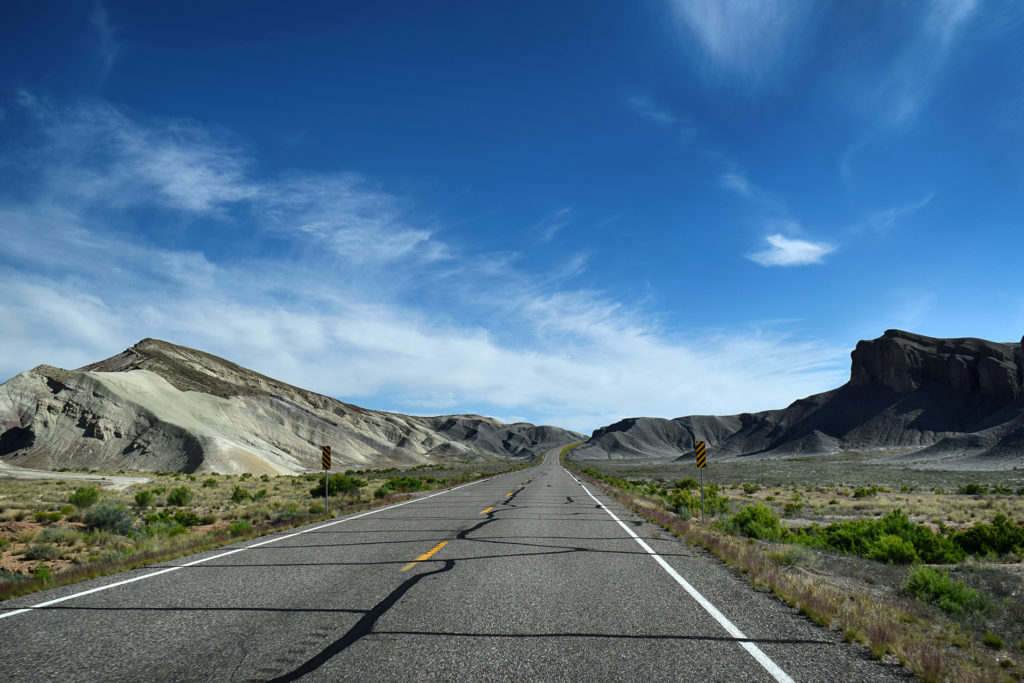
We last left off at Capitol Reef National Park, in the terrifically tiny town of Torrey (say that five times fast).  We headed northeast from there, through a part of Utah you might call “lightly settled.”  One town marked on Google Maps appeared to contain a total of six houses…

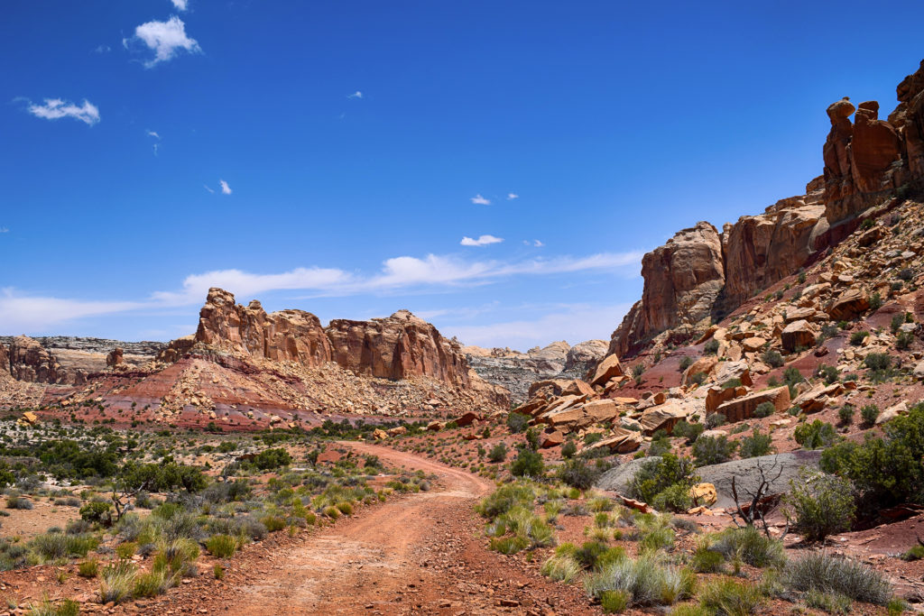
After about an hour and a half, we pulled off the highway in an area known as the San Rafael Swell.  Even in a state with crazy geology, the Swell is an area known for its crazy geology.

Things are going to get weird.

Into the Crevasse

If the previous area was lightly settled, the place we stopped was downright empty.  There were no signs of civilization aside from the long, straight roads cutting through the southern Utah desert.  But when we pulled off, we found something cool: the government has established a number of free campsites here. There’s no hookups, but there are vault toilets (read: permanent port-a-potties) and trash cans, and you can park in one of several dirt lots for as long as you like. As it was Memorial Day, there were quite a few RVs.

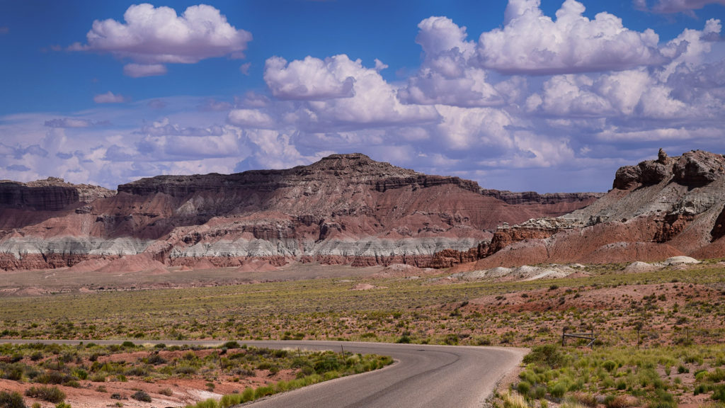
We parked our RV in one of these lots and drove our car about 10 miles towards – into? – the Swell. This area is almost completely unknown, but it is incredibly cool, full of towering rock formations banded with bright colors. Far back near the hills, we spotted many RVs and tent campsites – it struck us as the kind of place you could go and live undisturbed for a decade.

We nervously followed our directions deeper and deeper into the Swell, concerned that we might be lost, until finally we stumbled onto… a completely full parking lot.  Oh right – Memorial Day.

Well, it’s the desert, so we just kind of found some dirt and left our car there. Then we headed into Little Wild Horse Slot Canyon.

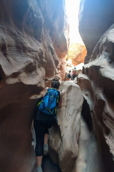
Walking through a tight slot canyon is a thrilling and unique experience.  It’s also pretty rare, and something we otherwise only really got to do at the Kasha-Katuwe Tent Rocks in New Mexico. Little Wild Horse is much tighter and much longer, however, and at times we had to literally climb the walls to pass over obstacles – or, more commonly, to get around people who walked in part-way before turning back.

At times, we had to haul ourselves up onto rock ledges, or pick a trail over fallen boulders. Occasionally, the slot canyon opened up into hugely wide areas, still bounded on both sides by rock walls. Then, just as mysteriously, it would compress itself back into a tiny crack.

This is not a good place for the claustrophobic.  Similarly, as this incredible story attests, it is not a good place to be when it rains.  Luckily for us, the skies stayed clear.

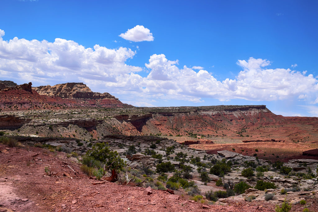
After about two extraordinarily slow miles, we reached the end of the slot canyon. We could have headed back, but in the spirit of adventure, we took the opportunity to walk through some Utah back-country and return through a different slot canyon.

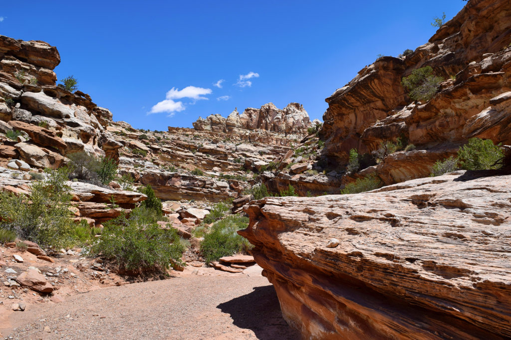
It was pretty, although the images don’t completely capture the fact that it was 90-plus degrees out and the baking desert sun was now directly overhead.  Fortunately, we had learned well from our dehydrating visit to Big Bend National Park, and we brought plenty of water. Still, it was shocking how tiring it was to hike under that sun, even over mostly flat terrain.

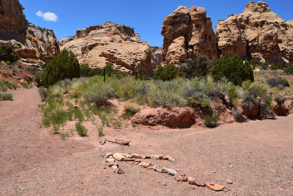
Friends, do not get lost in the desert! We actually almost did, until we noticed the large rock arrow pointing towards the trail we had nearly missed.

Eventually we did reach the other canyon, named Bell Canyon, and things got much cooler once we were back in the shade.  This canyon wasn’t as tight, and so it was relatively quick work to get back to our car – and its sweet, sweet air conditioning.

The Power of the Voodoo Hoodoo

Little Wild Horse Slot Canyon was sweet, but we have been burying the lede here a bit, since that’s not really why we stopped. The main draw for us was something else entirely: Goblin Valley State Park.  It is strange in the best possible way.

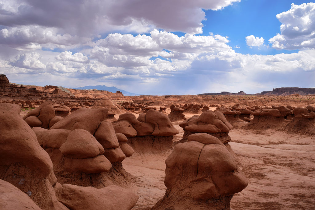
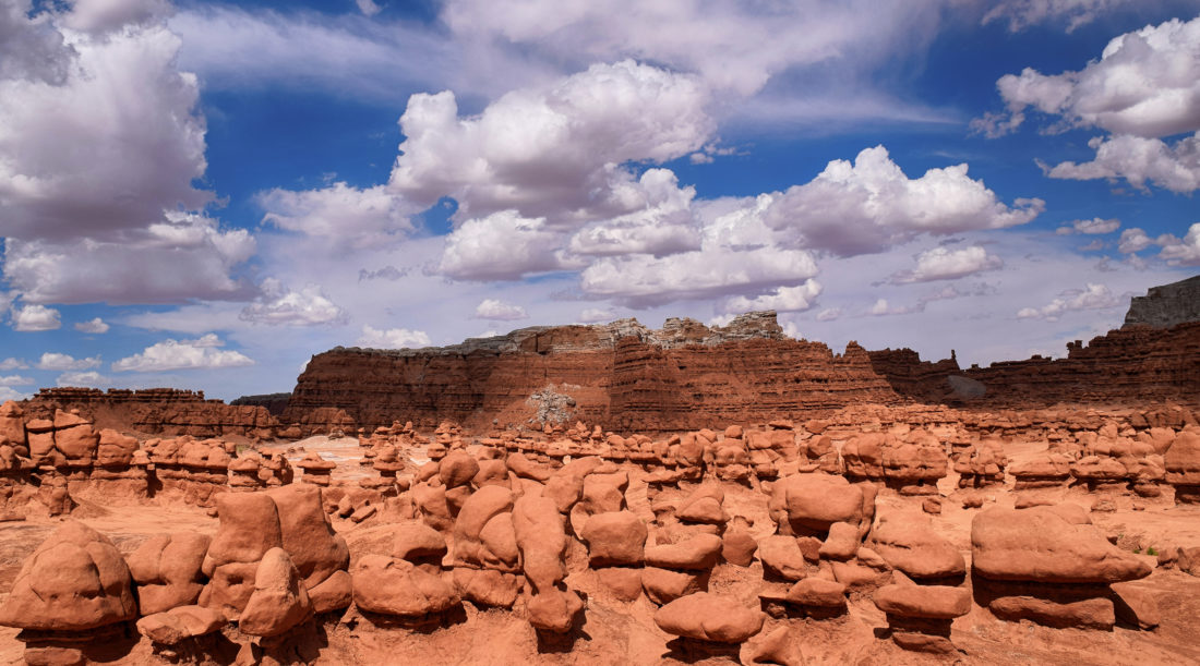
We talked a lot about hoodoos in our post about Bryce Canyon National Park, and Goblin Valley has a lot of them too.  Unlike the tall, beautiful spires at Bryce Canyon, however, the hoodoos at Goblin Valley are short, squat, and kinda… melted.

There is a near-endless sea of these weird little formations, so-named because early settlers imagined them as goblins. Having canvassed much of the United States, we can say confidently that Goblin Valley is one of the strangest places we have ever been.

The goblins are a lot of fun to photograph, but due to the crushing heat, we didn’t stay long.  We would have loved the chance to see them at twilight, but Moab awaited.

By the way, you may remember the story a few years ago about a Boy Scout troop leader who pushed over a natural rock formation. Well, that was at Goblin Valley.  Incidentally, the man’s claim that he did a good thing because the rock was going to fall over soon is just preposterous.  The rocks here took millions of years to form into these crazy formations, and we sincerely hope that future visitors leave the goblins alone to fend for themselves.

Roadtrip Time Travel

Roadtrip Status

We’ve reached the end of our roadtrip!  We’re settling down in Denver, but we’re going to keep making blog posts and posting our favorite photos from the trip, so stay tuned for more.

Follow Us On Social Media

FacebooktwitterinstagramFacebooktwitterinstagram

Latest Posts

0

Week 48: Bryce Canyon National Park

We stayed for a while (for us) in Kanab, Utah – visiting the Grand Canyon and Zion National Park – but eventually, it was time to move on.  Our next destination was Bryce Canyon National Park.  It was only about 80 miles away, but it felt like another world.

Hold the Door

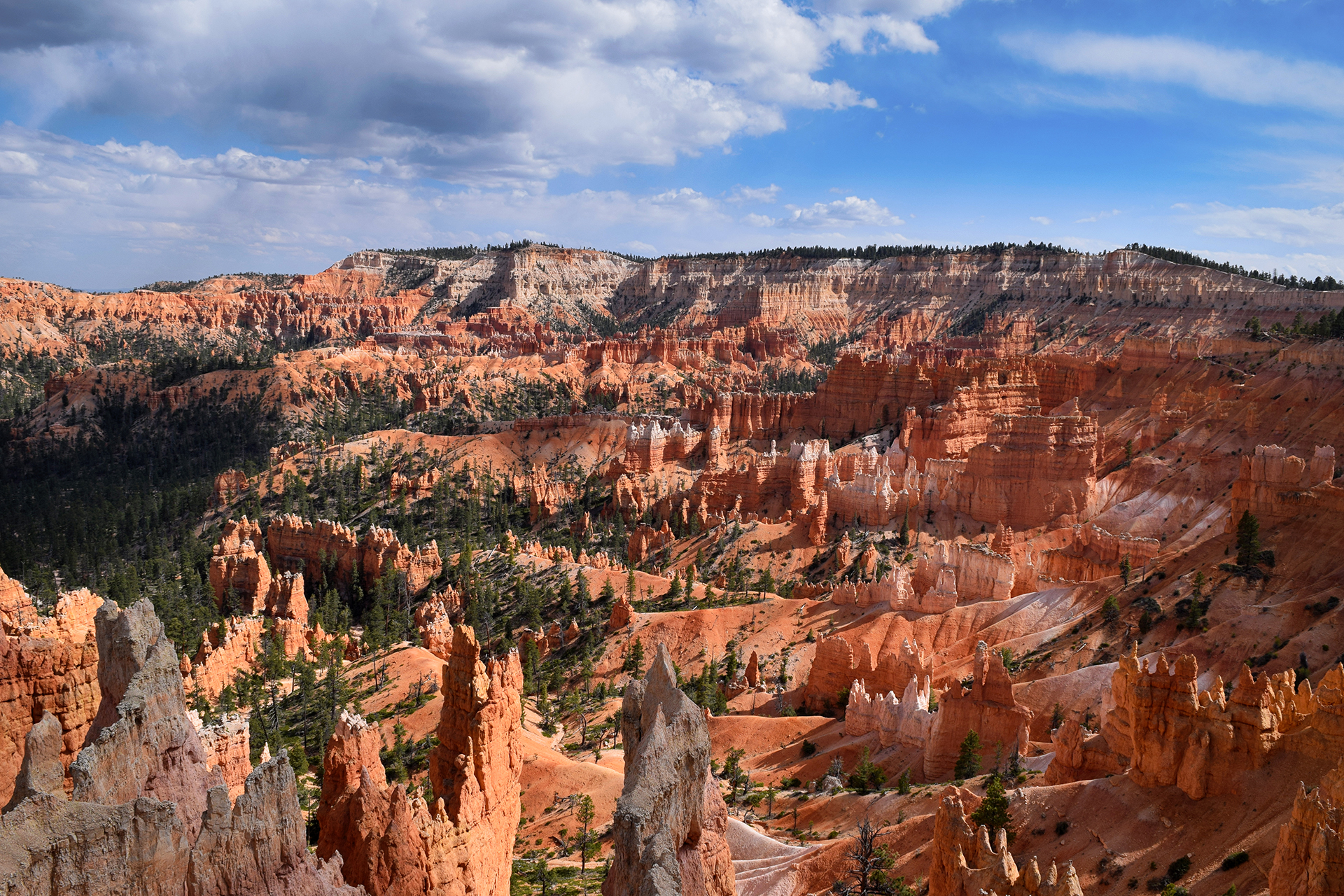
Bryce Canyon National Park really is otherworldly, and it was one of our top-3 favorite places from the entire trip.  It has some really unusual geology – Bryce Canyon sits at the top of Utah’s “Grand Staircase” of brightly layered rock formations (described in our Zion post).  The rock at Bryce is a beautiful pinkish-orange color, and it is very soft, which causes it to weather in a unique way.  Essentially, the region’s wild temperature swings cause overnight snows that melt during the day, cutting away a tiny bit of rock each time.

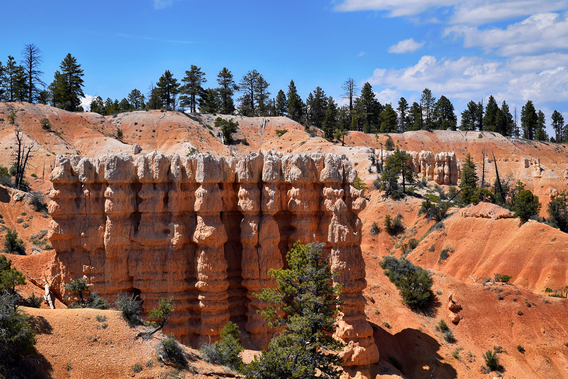
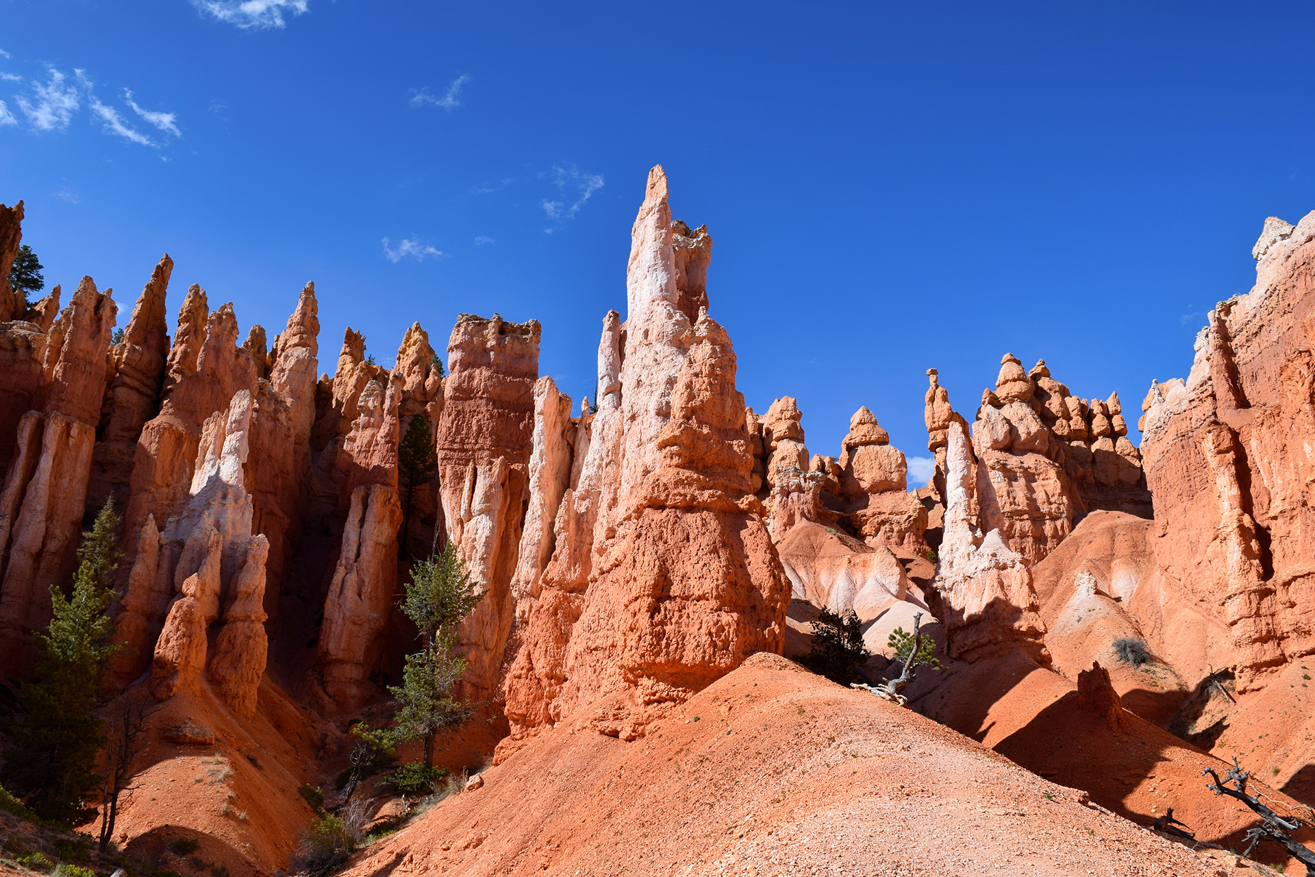
The end result is an eroded rock pillar, narrow and very tall, called a hoodoo (although we usually called them hodors).  The astonishing thing is that they form in massive formations as entire sections of mountain are cut away, creating row upon row of pillars.  These formations are often mind-bendingly uniform, like soldiers standing at attention.

They are especially pretty when a formation is banded with rock layers.

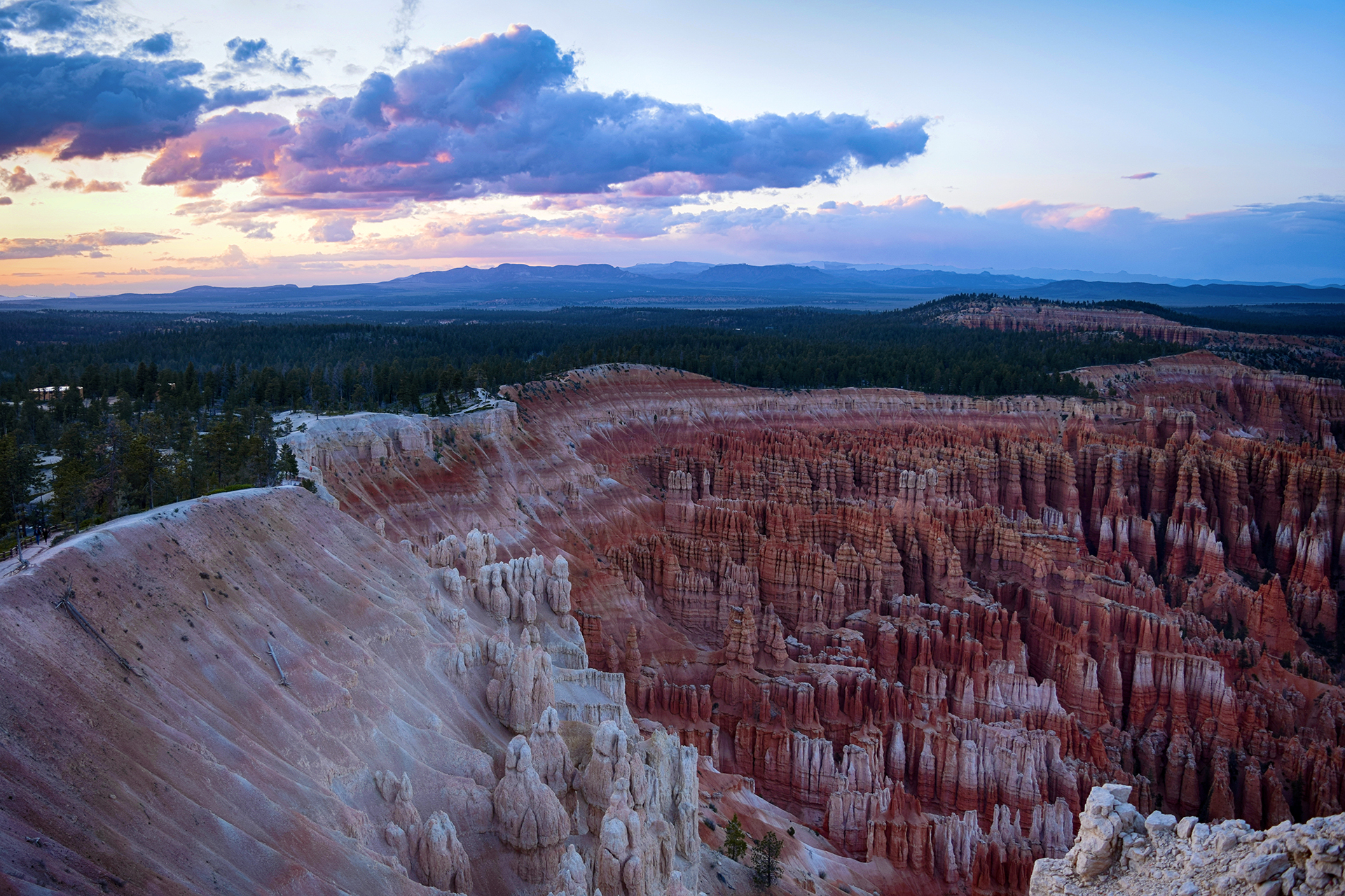
Although hoodoos can be found in many places in the desert, Bryce Canyon has more hoodoos than anywhere else in the world.  In addition, the formation process results in the mountain being carved out into a curved shape, like an amphitheater.  The most famous of these is Bryce Amphitheater, where the view from the rim is as cool as the other side of the pillow.

Walkie Talking

Many people just view Bryce Amphitheater and the short scenic drive, but the entire area is amazing.  We actually overheard a young man in a gigantic pick-up truck bragging that he was going to see the entire national park in “under twenty minutes.”  To each their own – *coughdbagcough* – but personally, we were head over heels for hoodoos, so we took a different approach, hiking everywhere and trying to see everything.

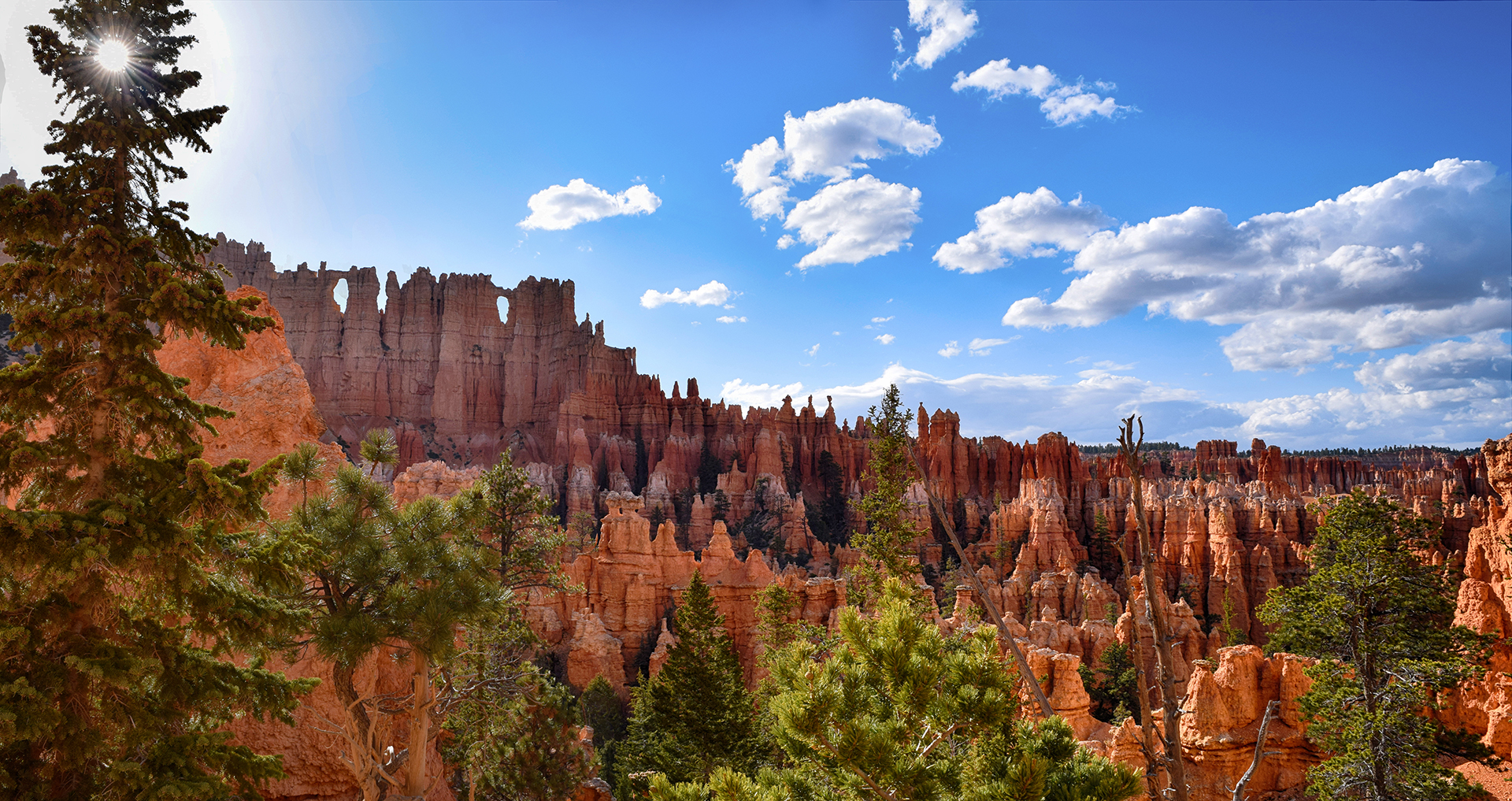
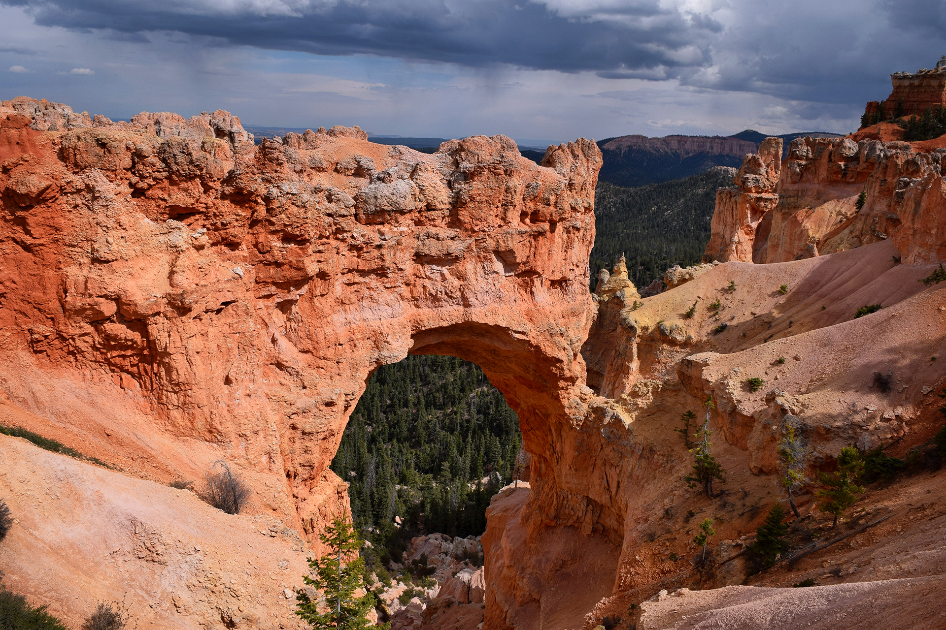
Bryce Canyon is relatively small, so unlike Zion, we were able to do every major hike in just a few days.  It is also much, much less crowded than Zion, and venturing down the trails even a quarter-mile often left us in complete solitude.  This was national park heaven, and we hiked in quiet amazement for miles past hundreds of fantastic rock formations – not just hoodoos, but rock curtain walls, windows and archways, even something that looked like a sinking ship.

Some of the hikes were tough, but we were basically mountain goats at this point.  In fact, the night we got in, we planned to do one short, 3 mile hike, starting around 5:30 p.m. (the best lighting for photos at Bryce is at dawn and dusk).  Once we started, though, we couldn’t bear to stop, and we decided to tack on another 5 miles as the sun began to set.

One the one hand, it might not have been the smartest idea to hike 8 miles at sunset in a place known for its freezing temperatures at night.  But on the other hand… hoodoos.

Game Changers

The next day, we hiked another 8 miles, this time through the area known as Fairyland.  There were a lot of cool sights, but unfortunately Tinkerbell was nowhere to be found.  We did have an amusing encounter at the end, however, when Jake spotted a woman with what looked like a large iced coffee and wandered over to ask her where she got it.

“Oh, this isn’t coffee, it’s just soda,” she said, and told us where to find the store.  Then, she leaned closer and whispered conspiratorially, “but the soda does have caffeine in it.  It’s a game changer!”

Oh, right.  We were in Utah, and many Mormons consider caffeine to be forbidden.

“We’ll just keep it between us,” Jake said, and winked.

And then we left to get some god-damned caffeine.

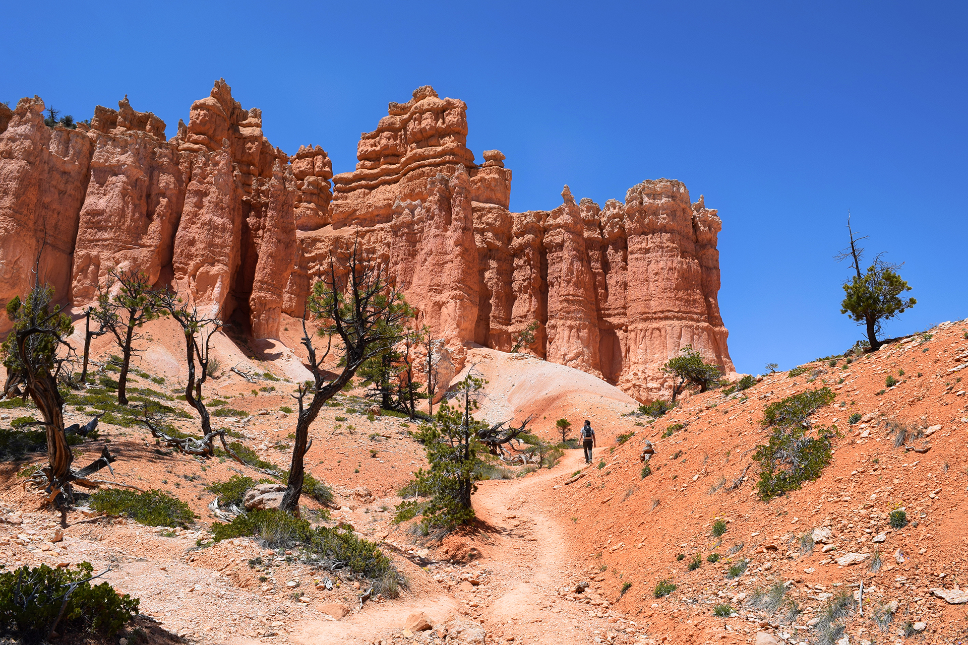
Religious taboos aside, friends, if you ever come to Bryce Canyon (and you should try), please, please, please try a hike down among the hoodoos.  The views from the top are great, but once you get down to the hoodoos’ level, you realize how incredible they really are.

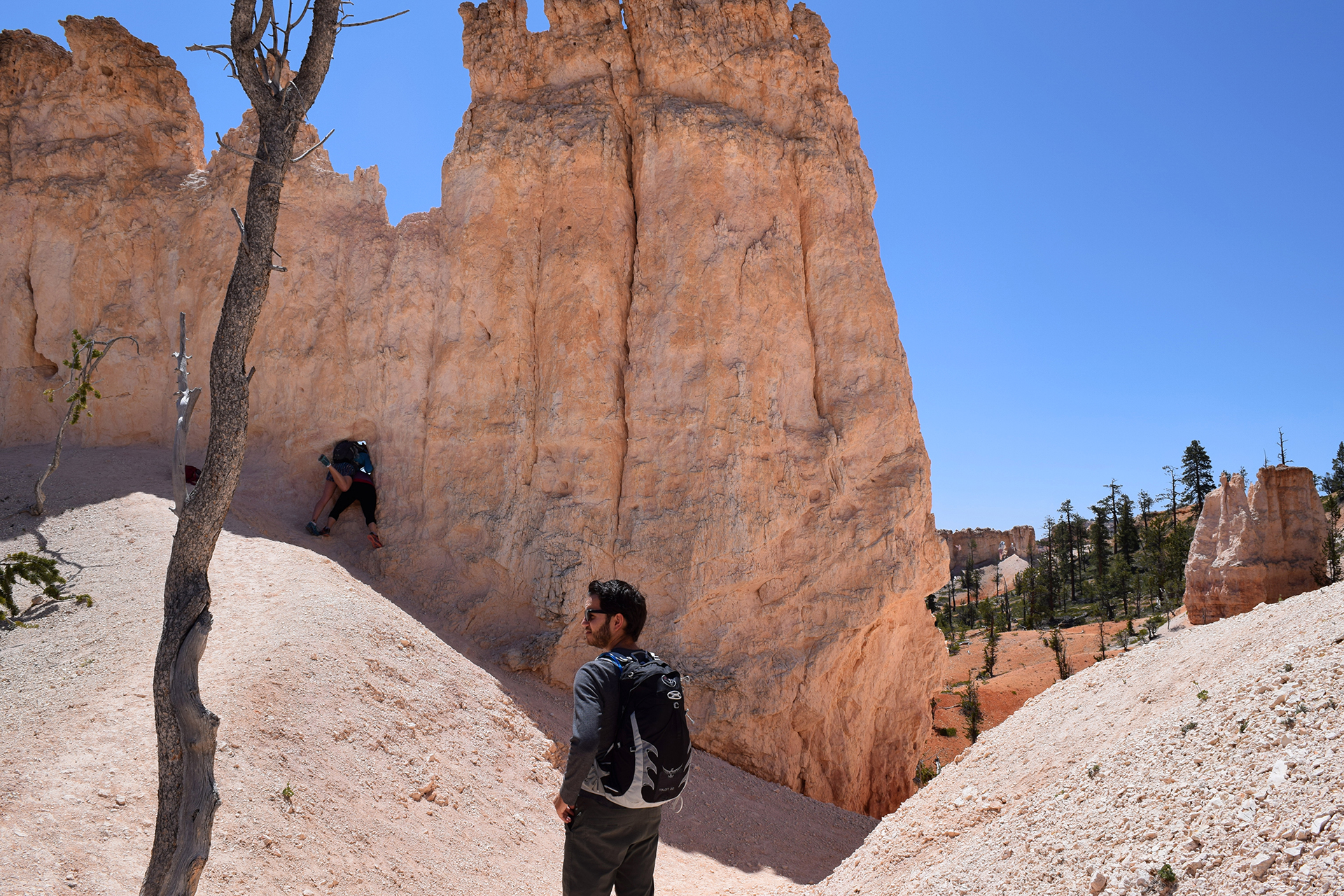
Plus, you never know when you might encounter two other tourists attempting to cram themselves into a single rock window for a photo.

You might even get to take a picture of them while pretending not to notice.

Gnarls Barkley

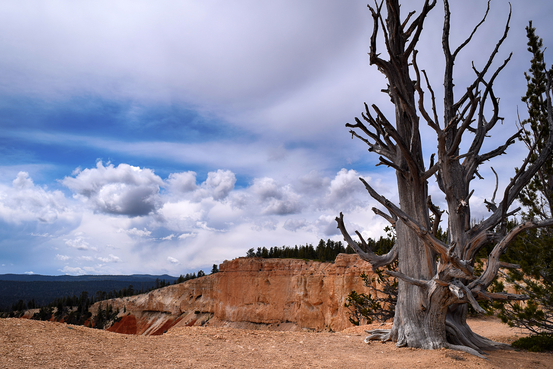
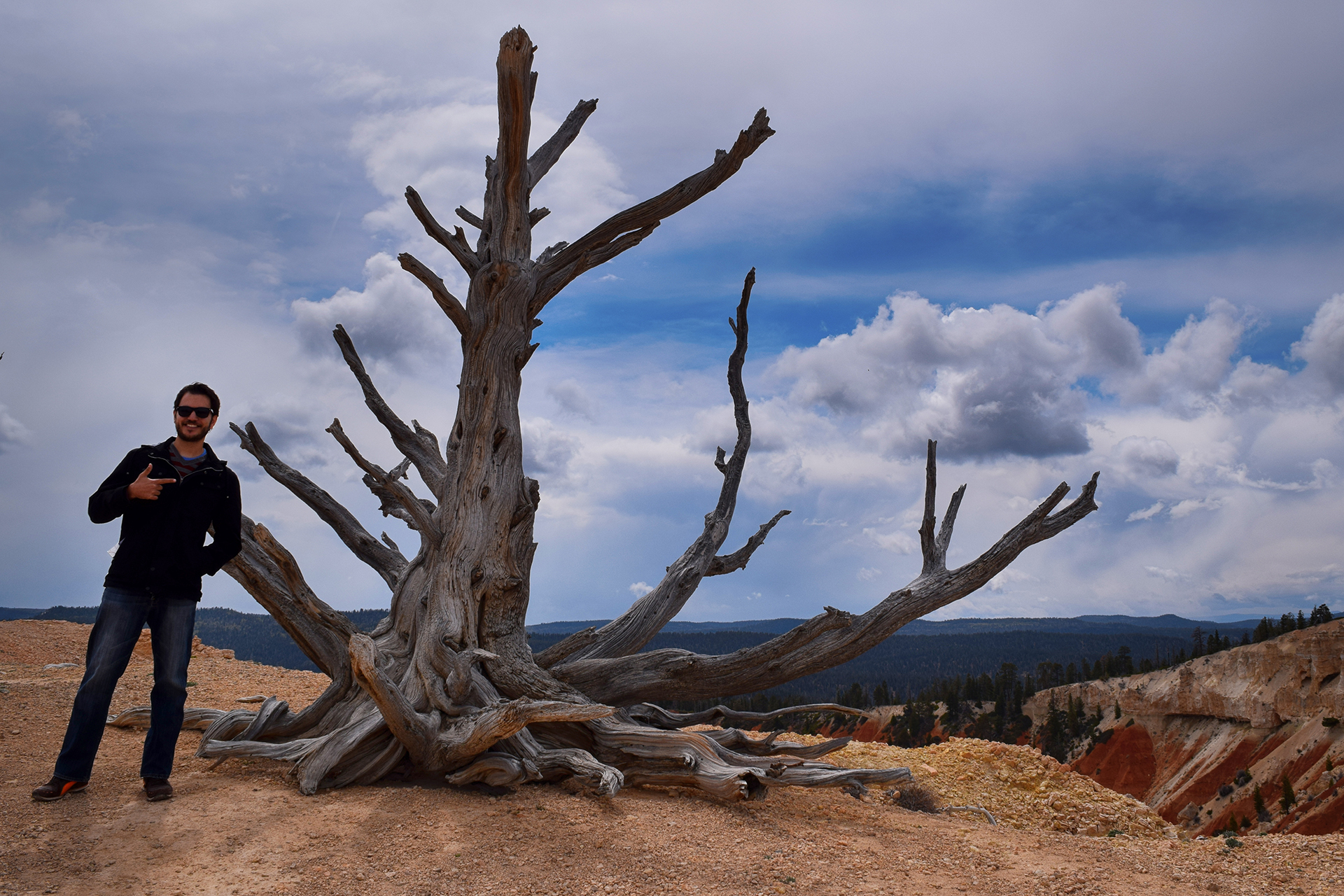
Aside from the hoodoos and the generally beautiful landscape, there is one more awesome thing about Bryce Canyon.  It contains a few bristlecone pines, one of the world’s longest-lived trees.  They are quite rare, and we attempted to see some (without success) at Great Basin National Park. The only place we actually saw any bristlecone pines was at Bryce.  While the Great Basin pines can be up to 5,000 years old, these are only (!) about 1,800 years old.

Stunted, twisted, and with weird bottle-brush needles, they are… not the world’s best-looking tree.  To be fair, we’d all probably look a bit worse for wear if we were nearing the end of our second millennia.

Notes from Bryce Canyon City

We didn’t realize it at first, but Bryce Canyon is very high – the elevation is over 7,500 feet.  The days were sunny and warm, but true to form, it snowed every night.  After spending an entire winter above freezing, we had to get out our winter hat and gloves.  In late May.

The owners of the combination campground / gas station we were staying at also own a restaurant, and based on internet reviews, we stopped for some pie.  At first, we were distracted by the fact that every worker at the busy restaurant appeared to be directly related.  Then we tried the pies, and we have to say: they really were incredible!  Some of the best we’ve ever had.  They really put the ho-made pies at the Thunderbird to shame.

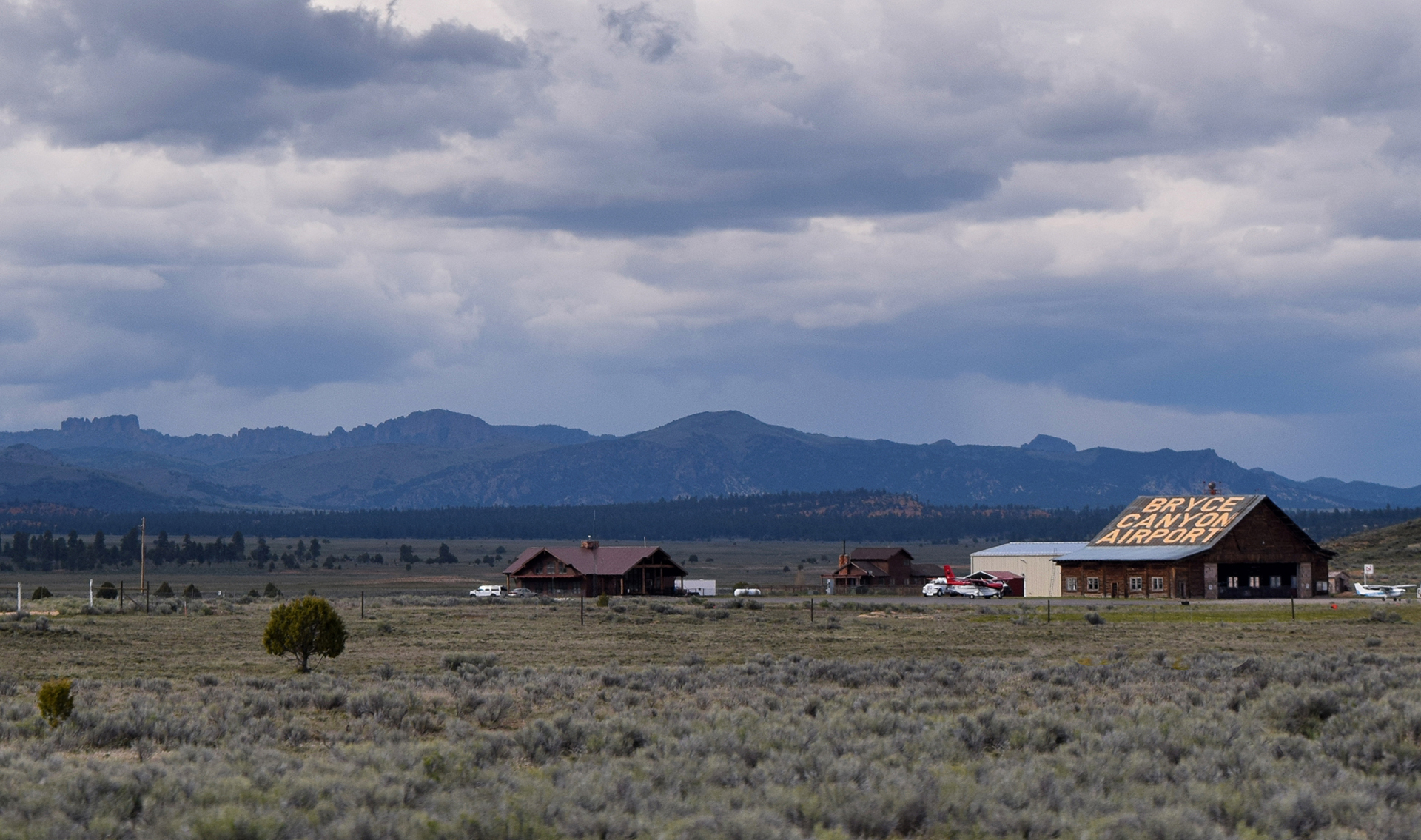
As a final note, the town of Bryce Canyon City itself was only incorporated in 2007, and the population is only 198 people, making it possibly the smallest town we ever stayed in.

But it does have an airport…

Roadtrip Status

Roadtrip Time Travel

Still alive?  Check.

Where are you now?  Upstate New York.

Next location?  Heading westward one last time, towards Colorado.  Time to have jobs again!

Follow Us On Social Media

FacebooktwitterinstagramFacebooktwitterinstagram

Latest Posts

0