Week 53: Yellowstone National Park

After a few days at the glorious Grand Teton National Park, we headed a few miles north to the granddaddy of all national parks, and one of the weirdest places in the world: Yellowstone.

Yellowstone is beautiful, huge, unique, and just a little scary.  One of the most geologically active places on Earth, the park is basically the thin covering over a gigantic super-volcano.  It’s not likely to explode anytime soon (although: if it did, we’d all be screwed), but the volcano’s heat causes underground water to bubble up and burst out through the surface.

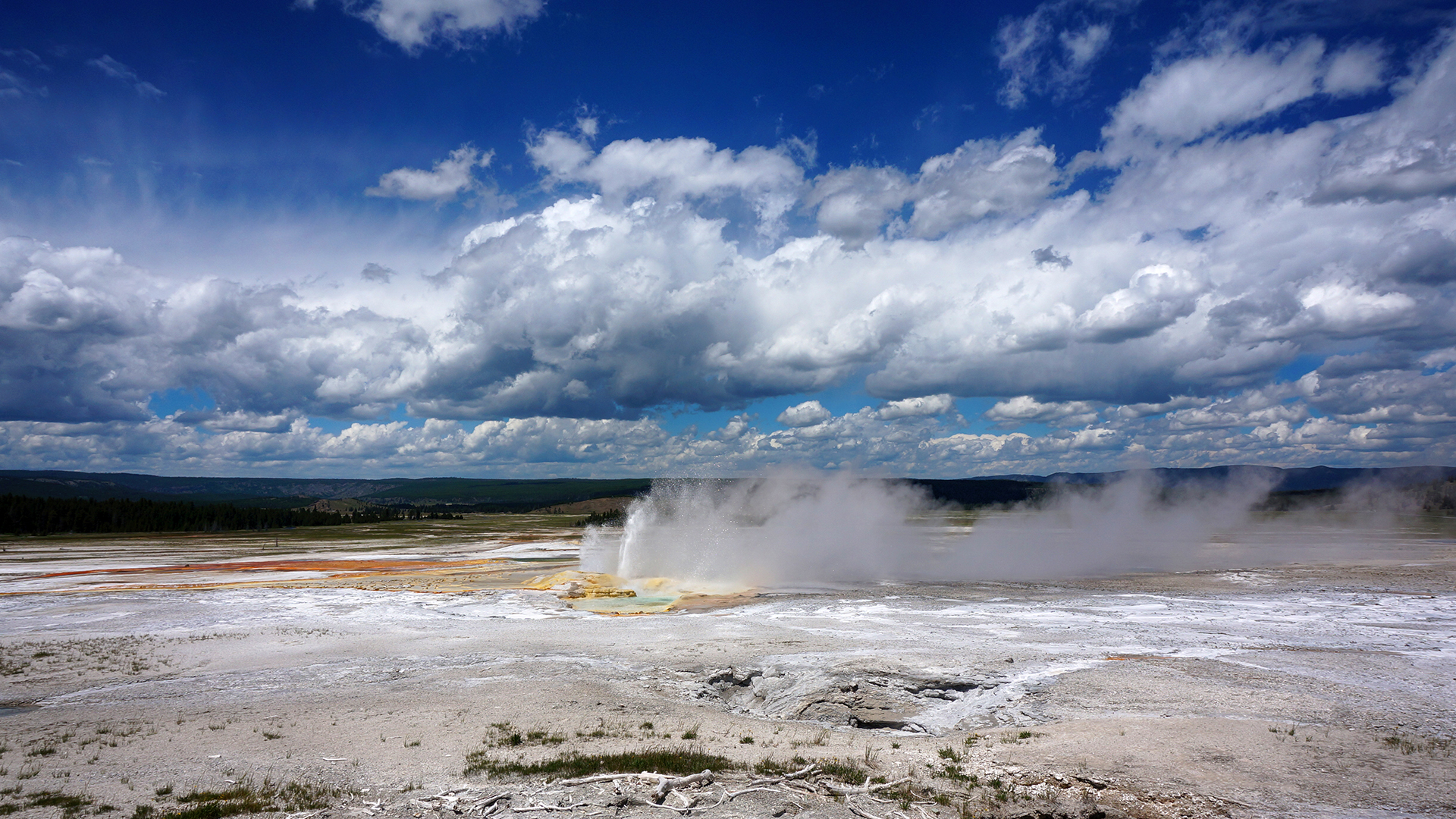
Everywhere you go, things erupt, vent, slosh, fizz, or sometimes just lie there looking pretty.

Yellowstone was the first national park in at least the United States, and probably the world, because it is so freaking crazy.  The density of exploding stuff here has no equal.  In fact, half of all the geological features in the world are located at Yellowstone, and two-thirds of all the geysers.

We spent three days at Yellowstone, and saw almost everything – just barely.  It was a whirlwind of geysers, hot springs, and bubbling pools, but also wide-open plains, wildlife, waterfalls, and a million stunning vistas.  It’s a truly beautiful place, preserved for us all by a far-sighted act of conservation.

And judging by the throngs, approximately 12 billion people visit every day.

We took 2,600 photos here.  Here are our favorites.

Geysers

The geysers area of Yellowstone feels decidedly unreal.  You walk along huge boardwalks past a thousand little bubbling pots of nonsense, each one more brightly and improbably colored than the last.  They all erupt according to their own schedule, which typically means that they will do nothing while you wait and stare, until the exact moment you turn your back or start fiddling with the settings on your camera.

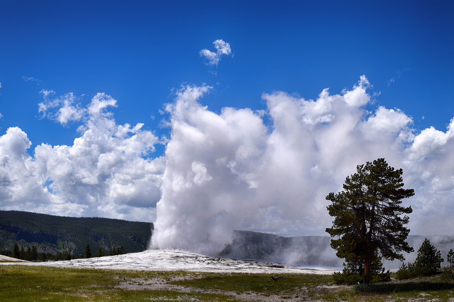
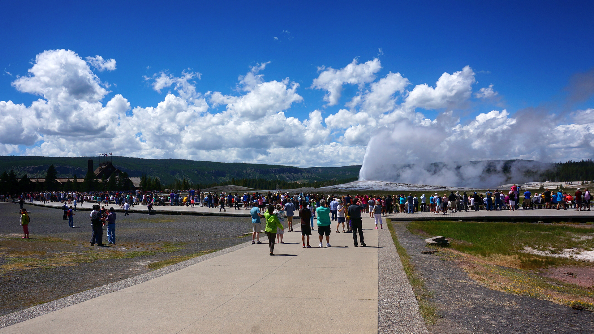
Old Faithful is the most famous of all these geysers, and probably of any geyser.  Its name derives from its consistency – Old Faithful erupts reliably, roughly every 65 or 91 minutes, depending on the length of the previous eruption.  There is a ten-minute window or so in which it is likely to blow each time, marked by a large clock in the ornate hotel a few steps away.

Heather got a prime spot on one side of the large viewing area and snapped away.

Jake… thought he had enough time before the eruption, and was in the bathroom.

Whoops!  The show goes on for a long time, though, and he at least caught the middle and the end.  Plus, we got the nice shot above of the crowds as he ran back to the viewing area.

Pools

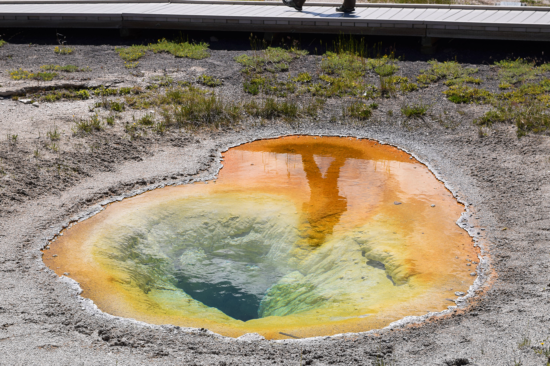
Aside from the geysers, the most famous features in Yellowstone are probably the vibrant pools.  Each is brilliantly colored and totally unique.

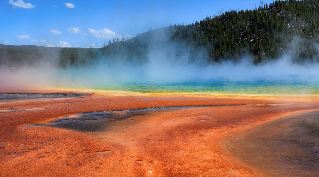
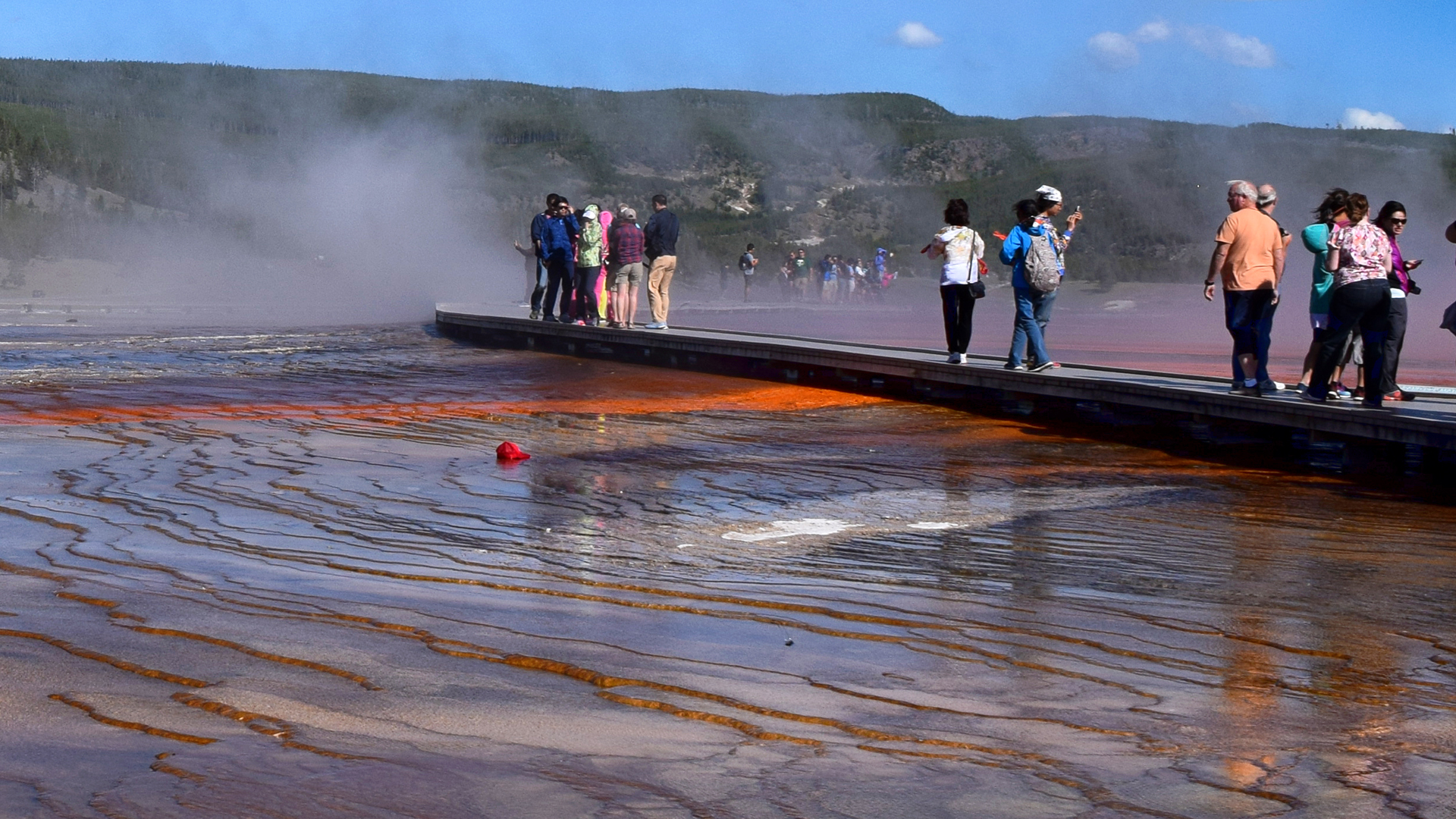
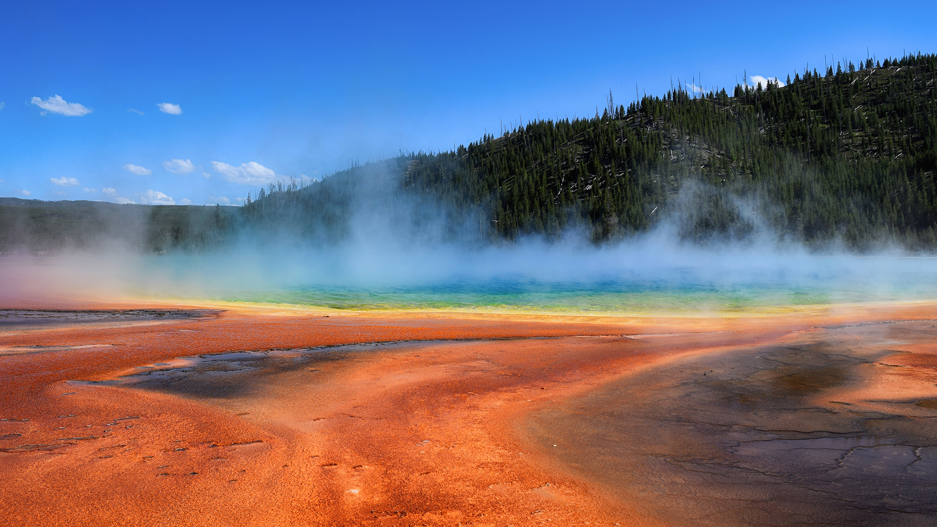
Many pools have a range of colors, caused by the temperature bands in the water itself – certain bacteria prefer the hotter water in the center, while others live in the cooler areas nearer the edge.  The end result creates beautiful, concentric gradients of color.

The most famous of these types of pools is known as Grand Prismatic Spring, and it is stunning.

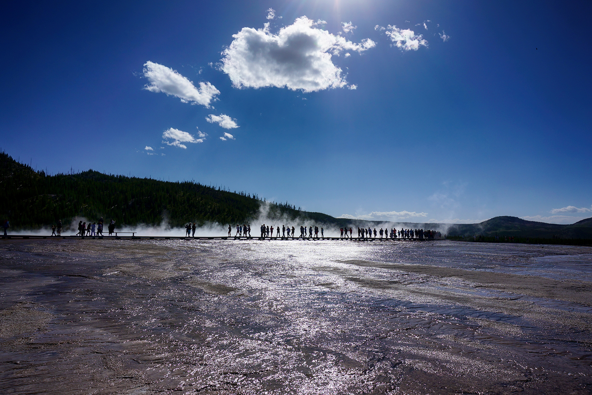
Also: crowded.

Also: smelly.

There’s no way around it: A lot of these geysers and pools smell horrific.  There’s a lot of sulfur, and the smell is equal parts “hell” and “rotten eggs.”  It’s constantly wafting everywhere.

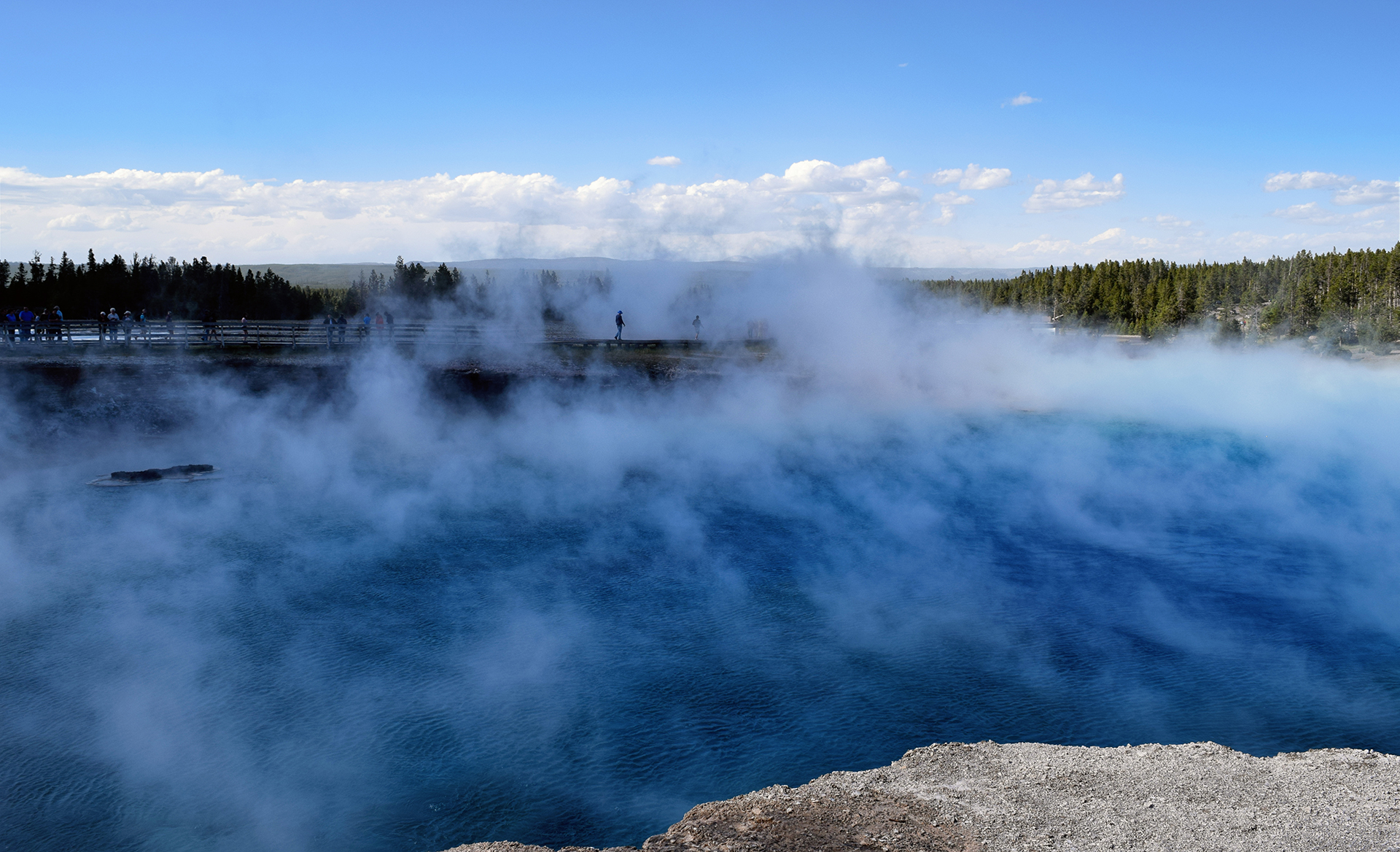
At Grand Prismatic, the stinky steam constantly obscured our view.  Worse, the wind blew it all around, sometimes right into our nose and mouth.  Eww.

Some things are better in pictures than real life.

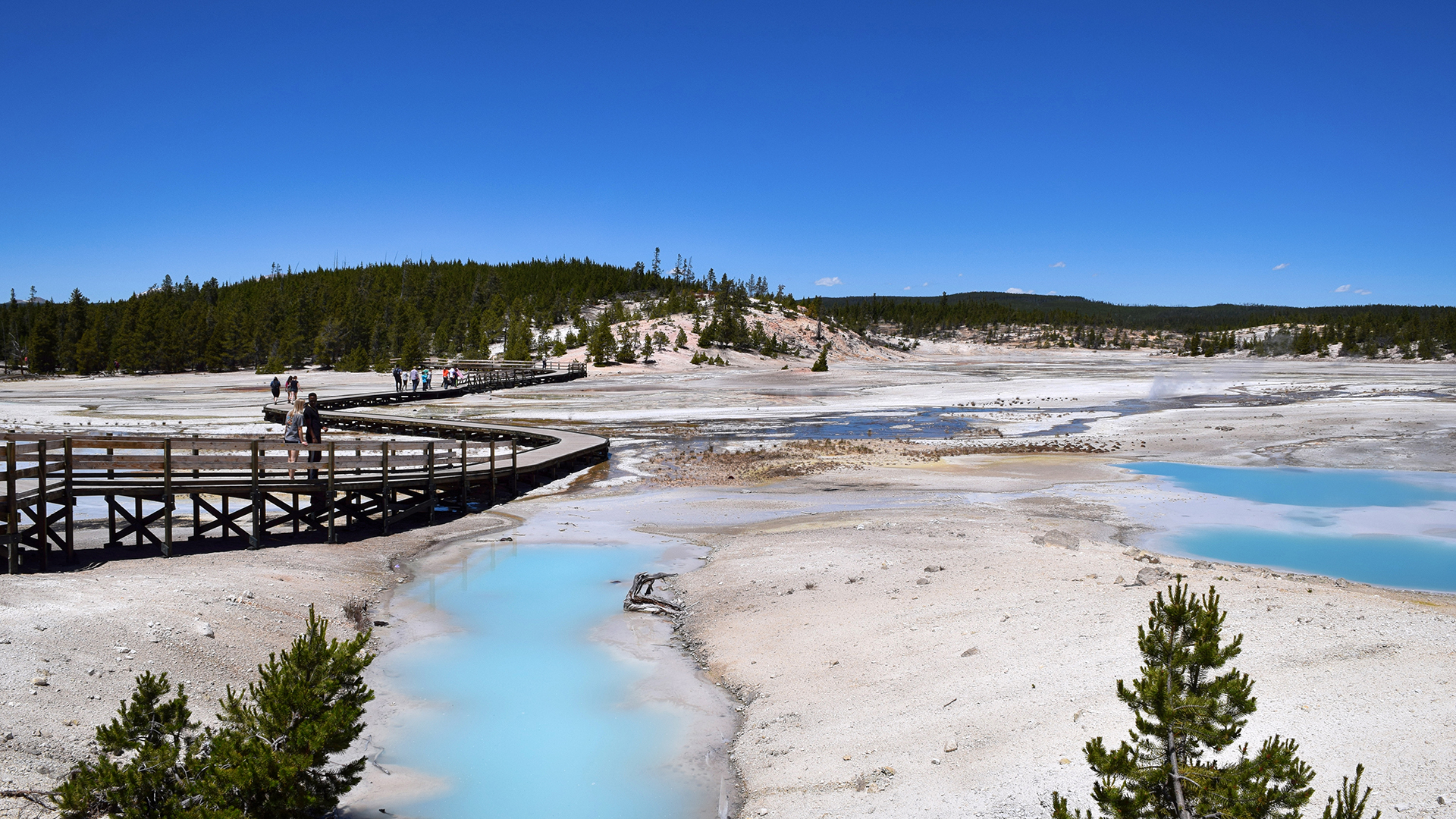
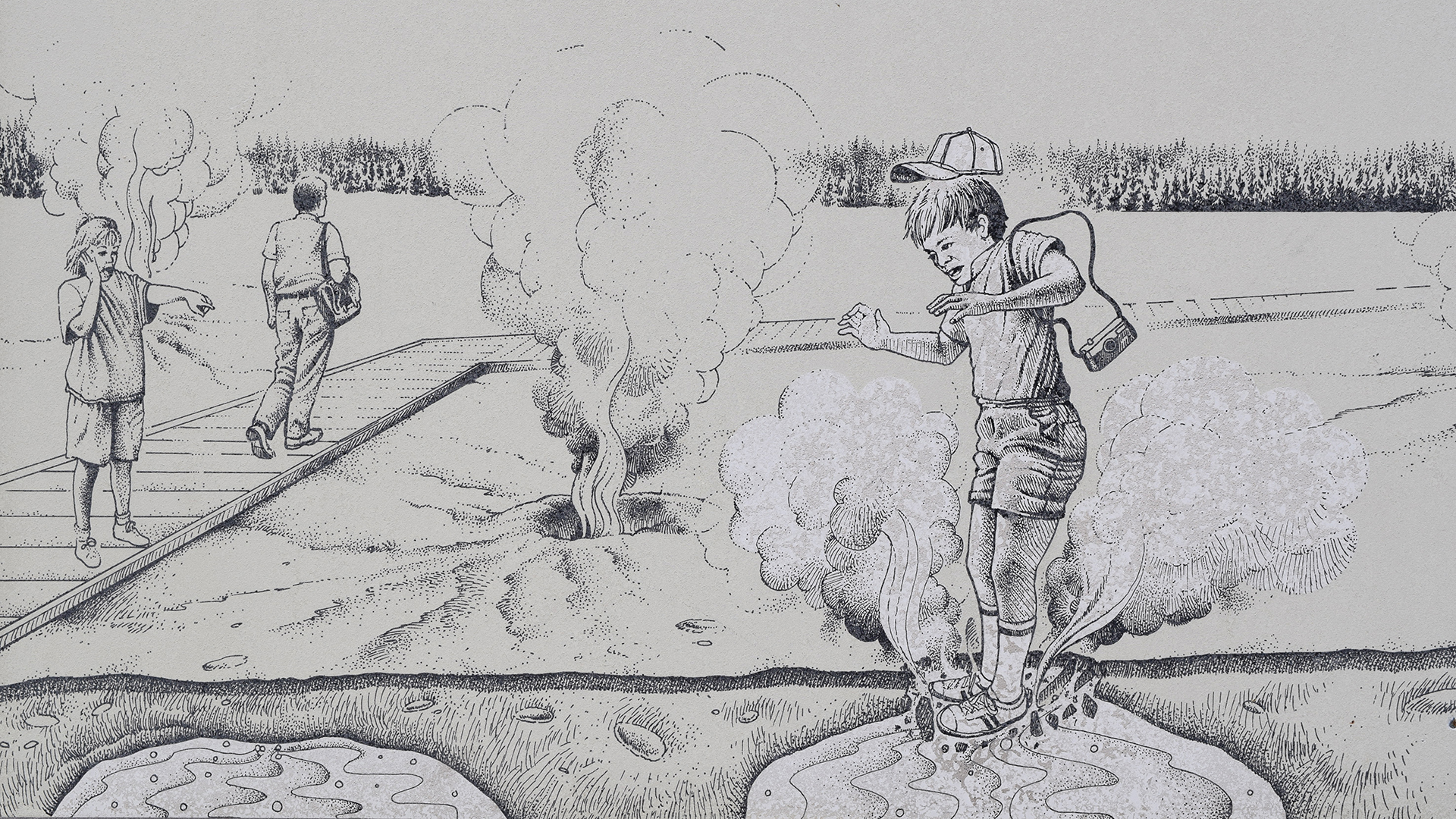
Aside from being pretty and smelly, these hydrothermal features are also wildly dangerous.  Some of the pools and geysers are at or above the boiling point for water, and they’re loaded with dangerous chemicals.  The ground is unstable.  The Park Service has built boardwalks everywhere, which are safe, and every year, people leave the boardwalk and die.

Seriously.  Right before we came to Yellowstone, a 23-year old Oregon man “essentially dissolved” after walking far off the boardwalk and falling into a hot spring.  That’s tragic, but there’s not much danger for more careful visitors.  We walked by the area where it happened: a barren, smoking field, no vegetation, sitting on top of super-heated water loaded with sulfuric acid.  (See the picture above.)

We’d rather walk through a minefield, but people routinely do crazy things here.  In fact, while we were looking at geysers, we saw some international tourists walk off a boardwalk, bend down, and taste the water from a random hot spring.

God!  We think this warning sign says it all.

Hot Springs

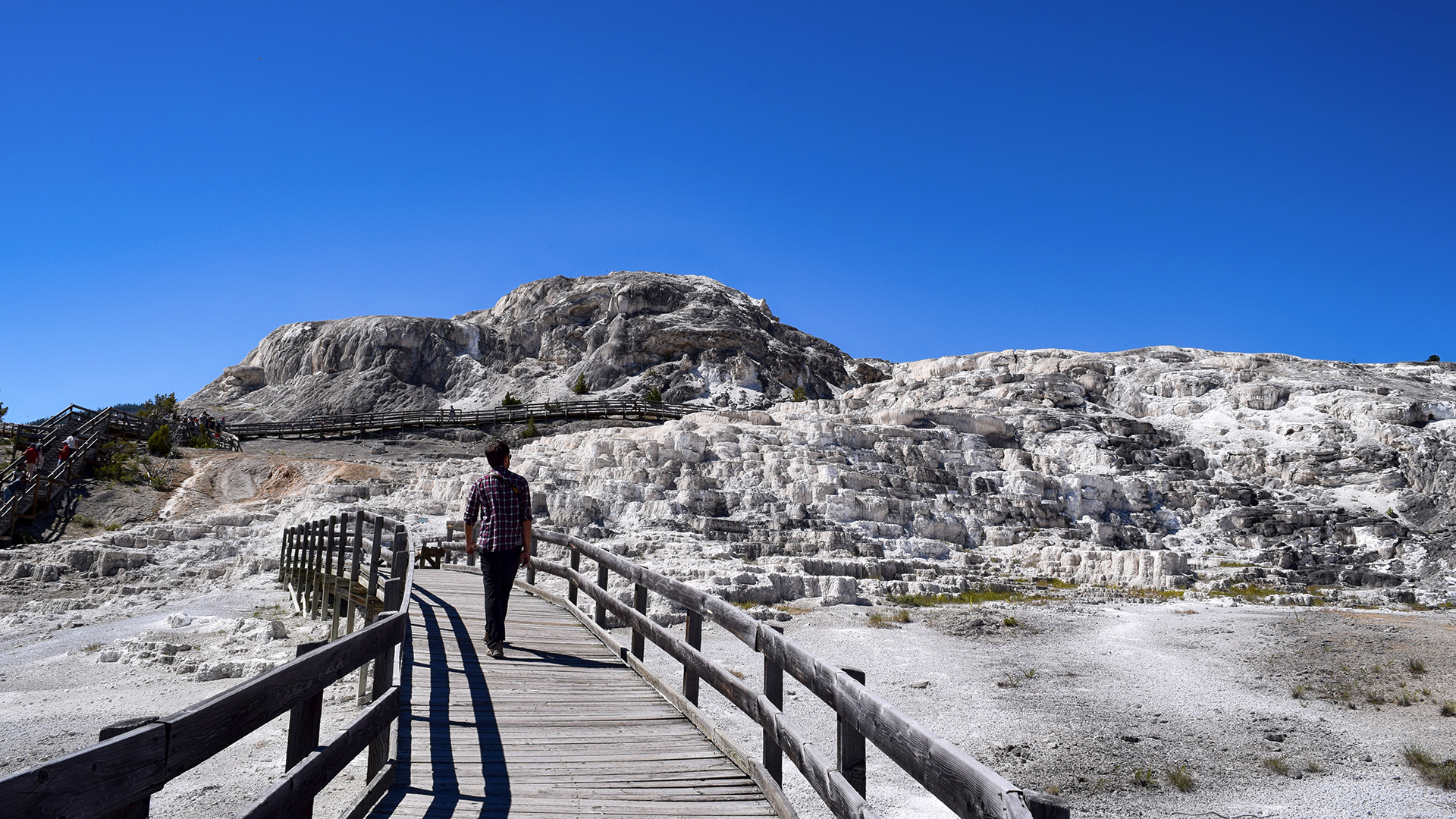
The final hydrothermal feature at Yellowstone are the hot springs.  We stayed just north of the park, in Gardiner, Montana – incidentally, the most expensive RV lodging of our entire trip – and we were located very close to Mammoth Hot Springs.

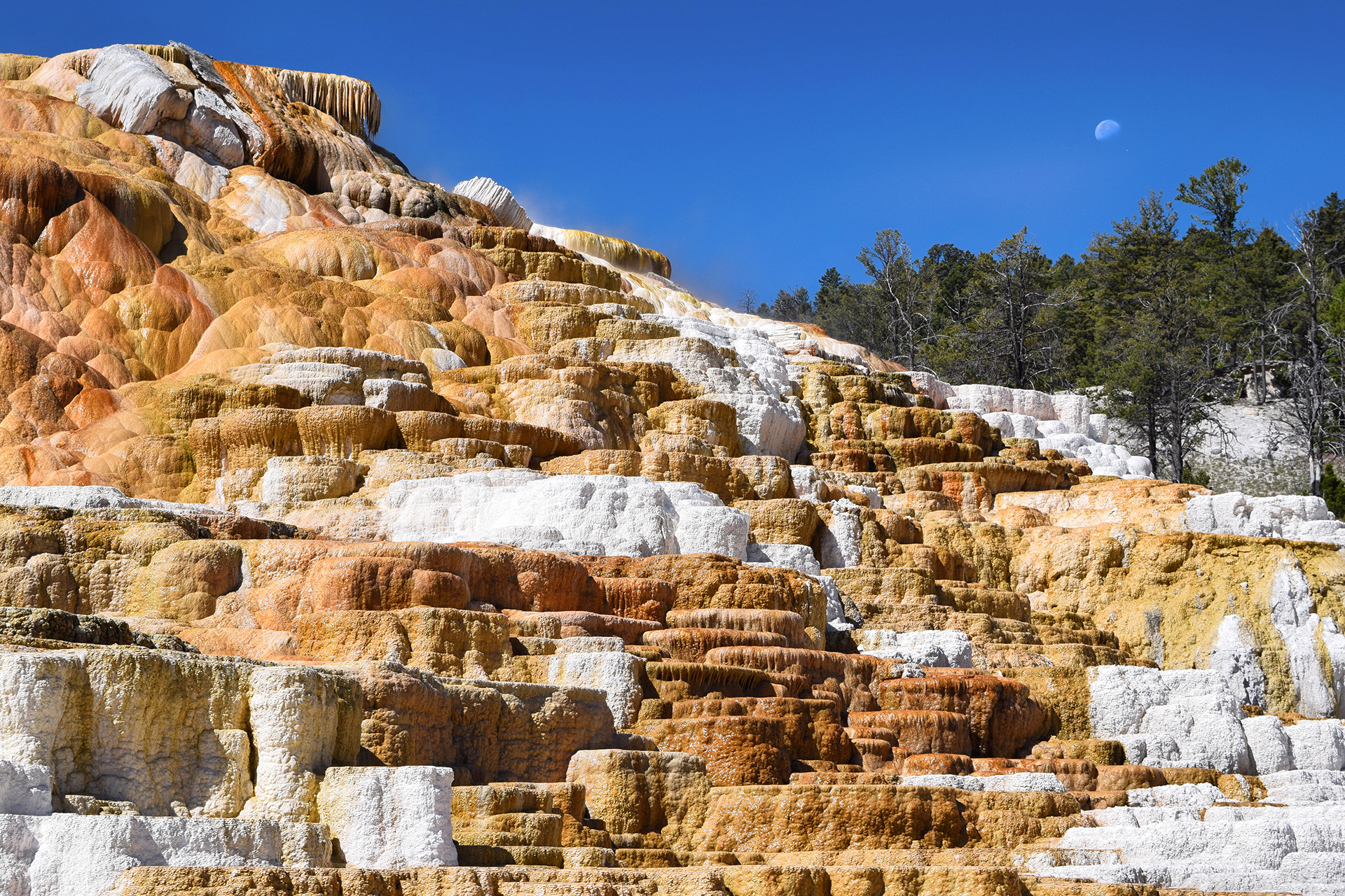
The bubbling springs here have created brightly-colored mineral deposits, and they form in pleasing geometric shapes.  It’s almost like shelves.

Like all the hydrothermal features in Yellowstone, the springs are inherently unstable.  Geysers and pools shift, drain, and refill based on movements deep within the earth.  At Mammoth, the springs sometimes dry up in one place and restart in another, leaving behind a bone-white skeleton.

Canyons

If the geysers, pools, and hot springs were all that there is to Yellowstone, it would be enough for a satisfying vacation.  But frankly, it just scratches the surface of a truly amazing natural preserve.  The scenery here is incredible in a million ways, and the most beautiful part of the park has nothing to do with volcanoes at all.  Instead, it’s a canyon.

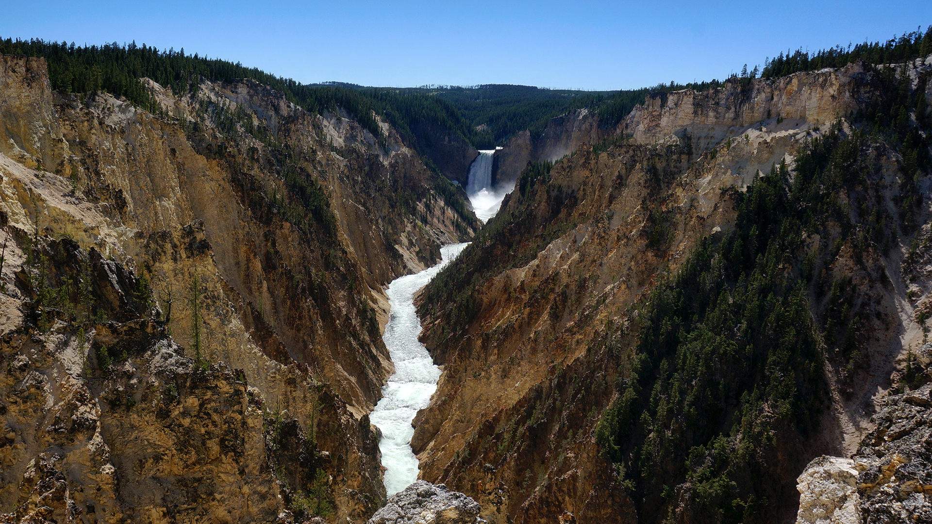
The Grand Canyon of the Yellowstone.

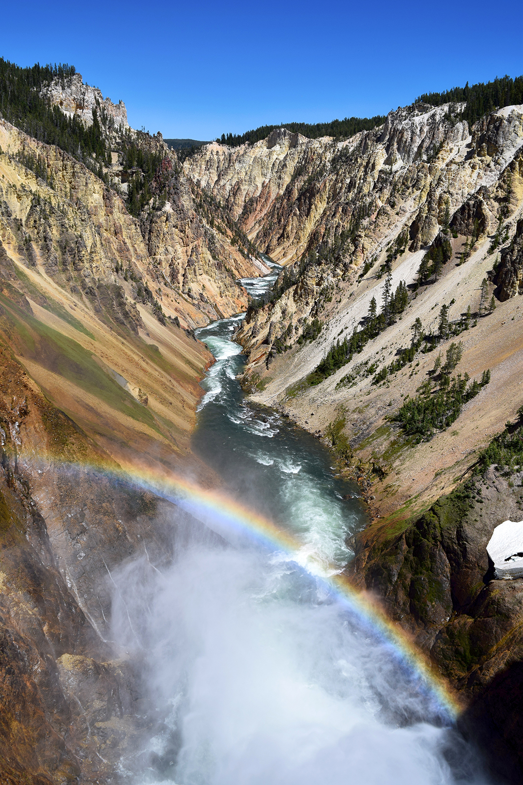
You might not have heard of it (we hadn’t), but the Grand Canyon of the Yellowstone (“GCOTY”) is magical.  There’s a huuuuuge waterfall, and then some other waterfalls, and the whole thing is framed in this incredibly perfect yellow canyon.

There’s even a constant rainbow!

Seeing all of the GCOTY requires about half a dozen trips down into the canyon from the parking spots along the rim.  Of course, we had to see it all.  But there were a lot of stairs.

It was a whole day of:  Down and up.  Down and up.  Drive 3 minutes, spend 8 minutes parking.  Down 328 steps on a rickety metal staircase suspended over nothing that looks like it was built in 1965 and then never serviced again.  Take some pictures.  Go back up those steps.  Down and up.

We’d do it again in a heartbeat.

Wildlife

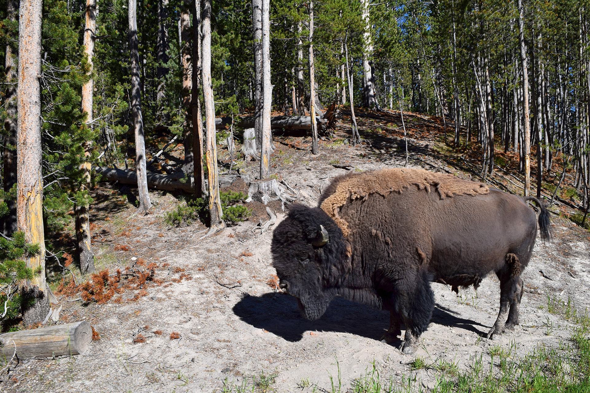
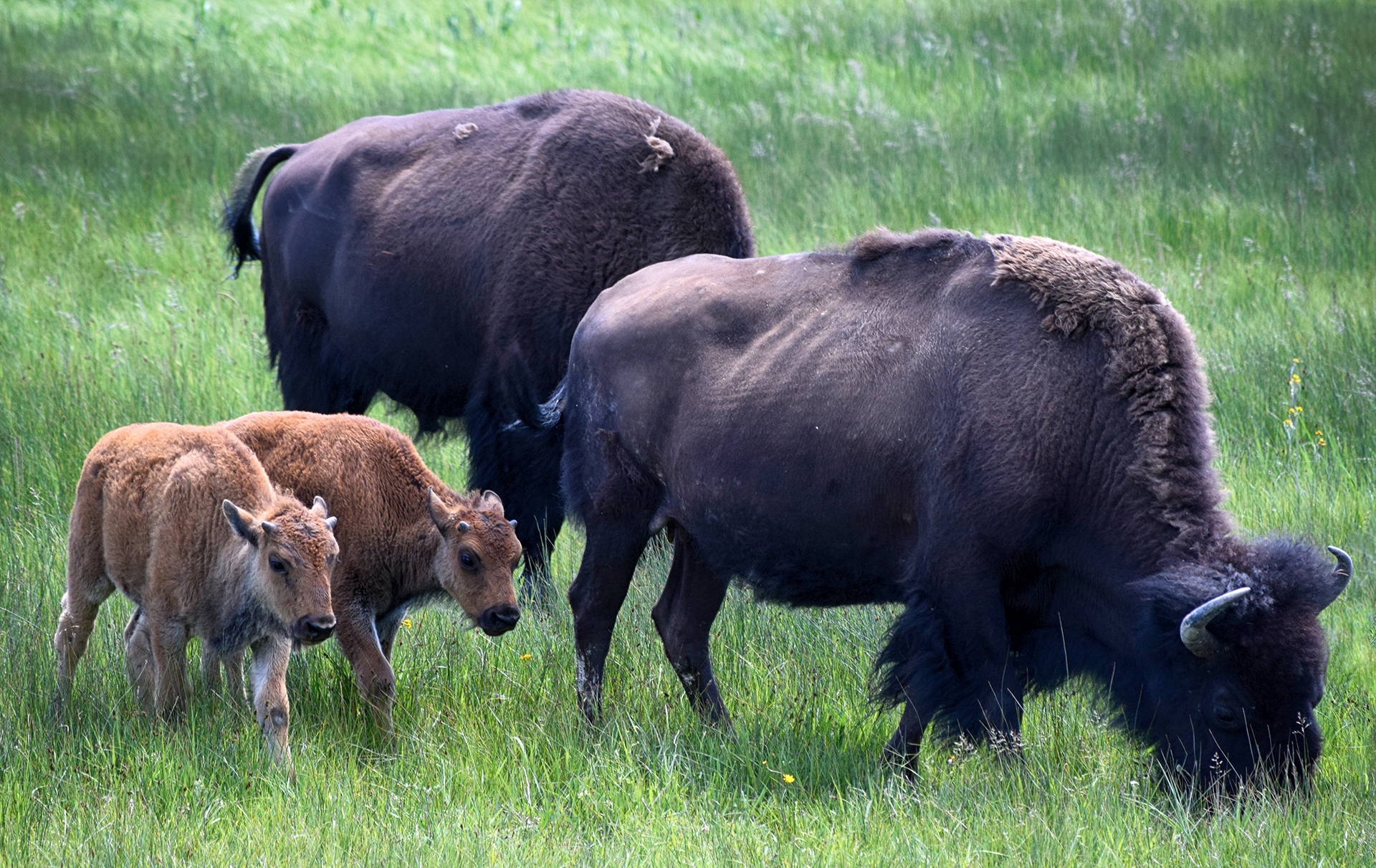
Another big draw at Yellowstone is the chance to see some truly big game.  Numerous animals roam Yellowstone freely, most notably American bison (NOT buffalo), but also including deer, bears, bighorn sheep, wolves, and much more.  We were lucky enough to catch some bison, including adorable babies.

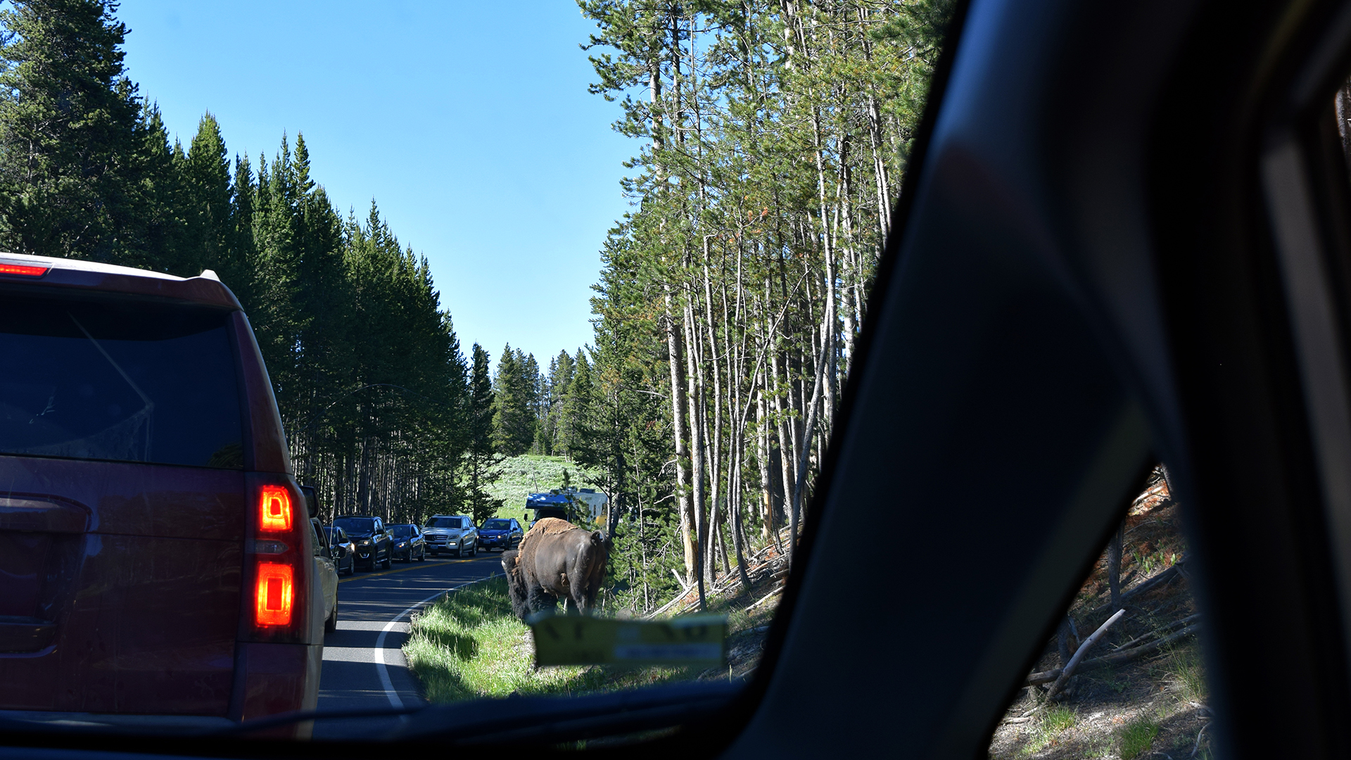
We could always tell when an animal was visible from the road.  Yellowstone is crowded to begin with, but roadside critters create massive traffic jams, since people recklessly slam on the brakes for a photo of the (usually unimpressed) animal.

We tried our best not to be those people.  We just snapped pictures out the windows blindly as we drove by, like civilized folk.

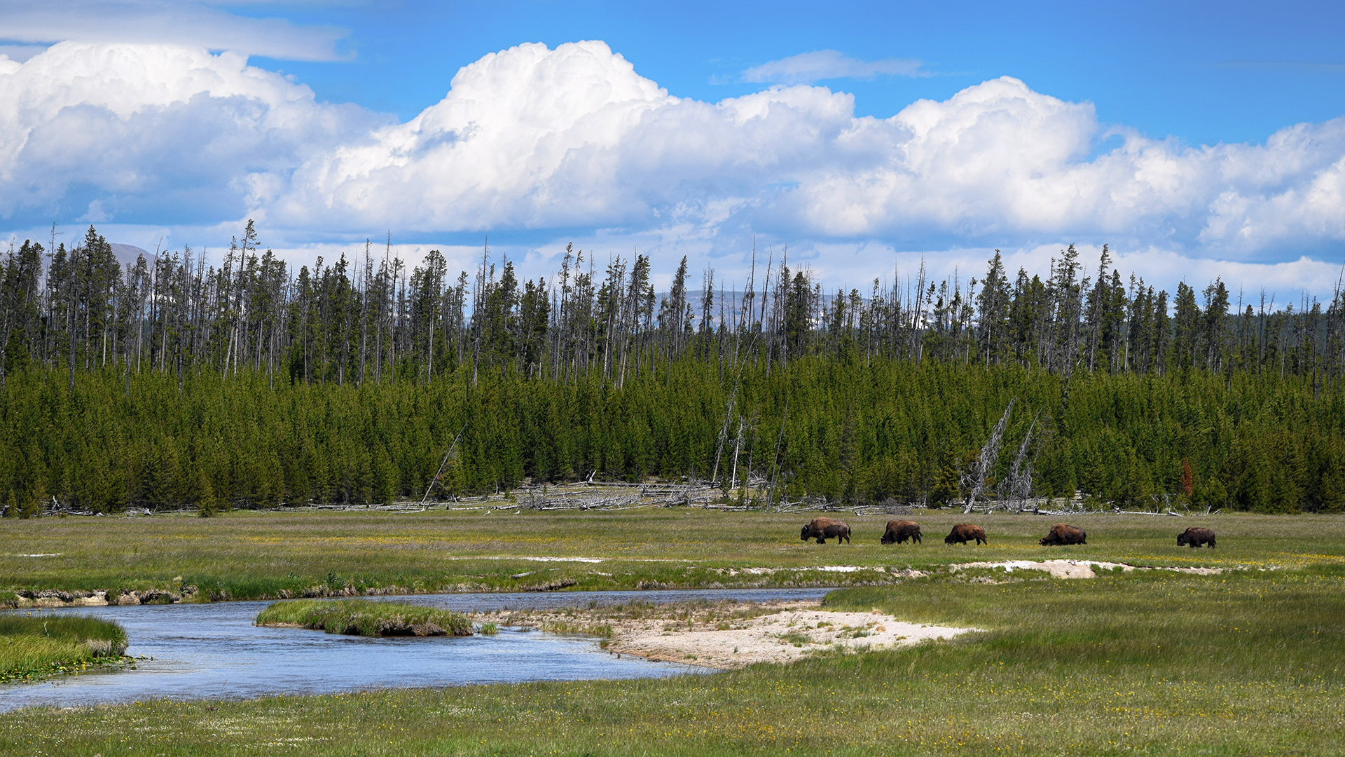
When Jake was here as a kid, a large herd stopped traffic by ambling across the road – and around all the stopped cars.  We only really saw one big herd of bison, and they were in a field, but we did see a a lot of individual bison just hanging around.  They’re truly massive, and reasonably mellow.

Tourists do a lot of dumb things – like trying to rescue calves by putting them in the back of their SUV – but the bison seem pretty resigned to the swarms of fools surrounding them at all times.

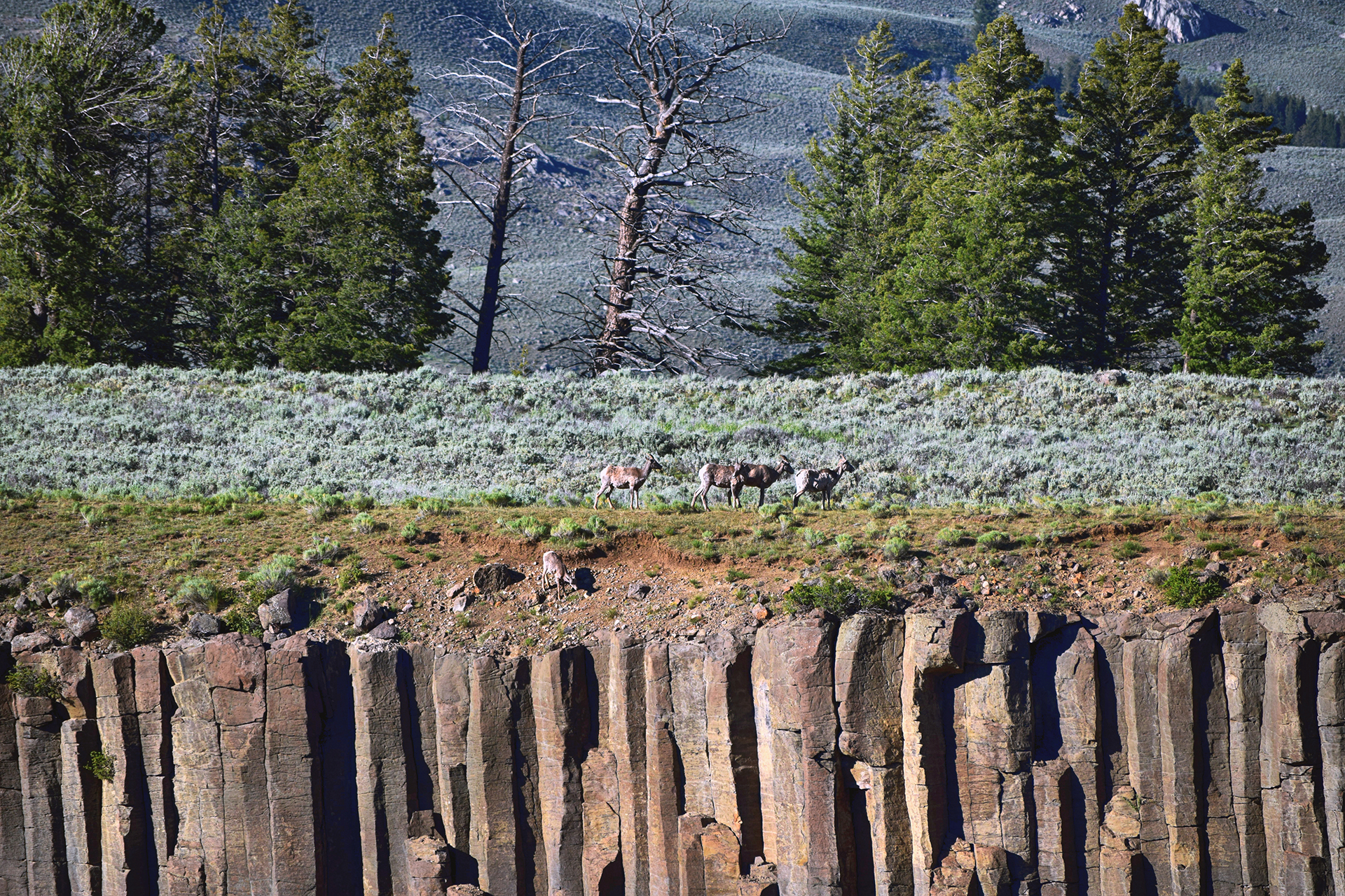
We didn’t see any bears or wolves at Yellowstone, but there were plenty of deer and other large mammals.  We ended up on the opposite side of a canyon from a herd of mountain goats, which we futilely tried to photograph using our zoom lens.

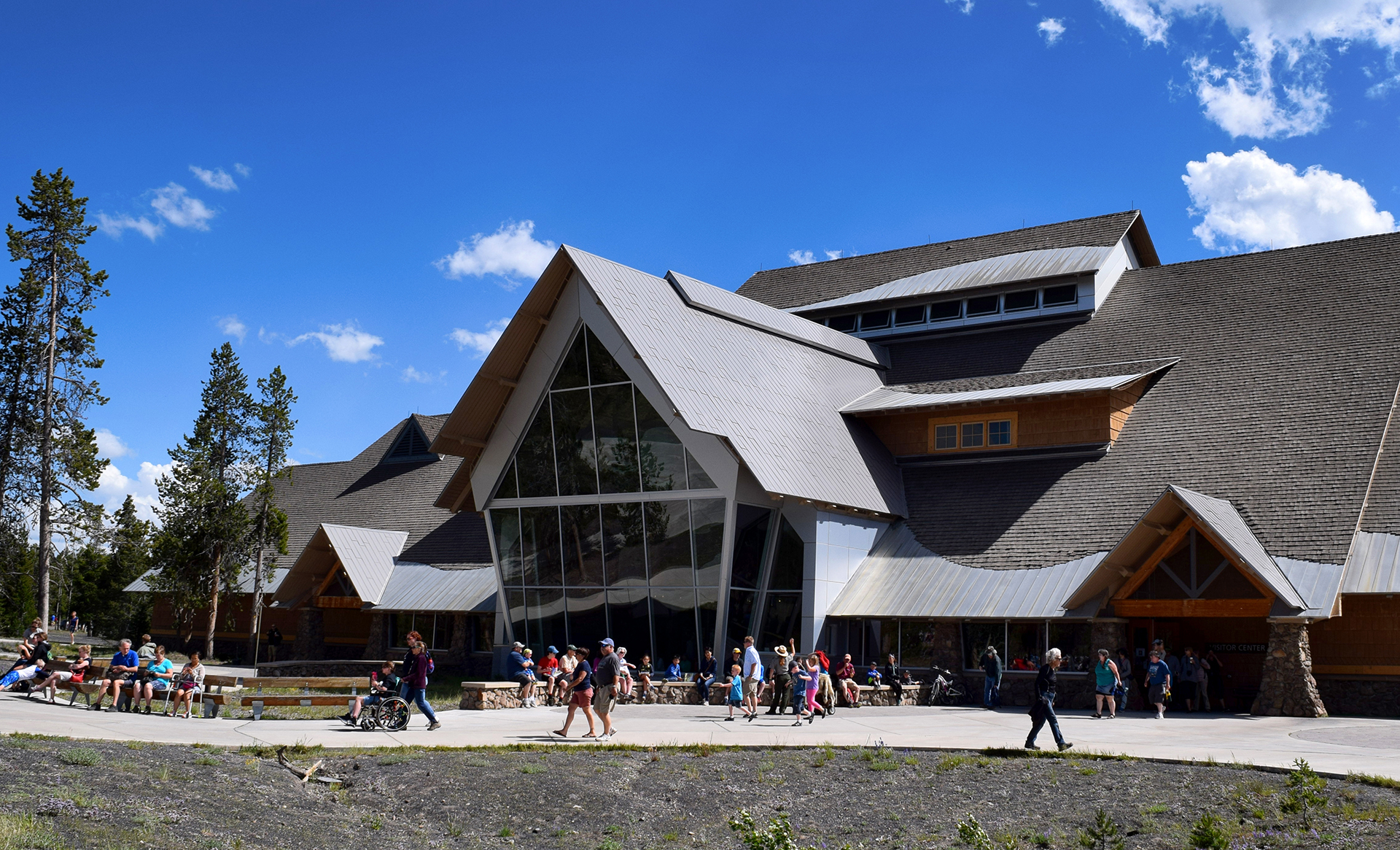
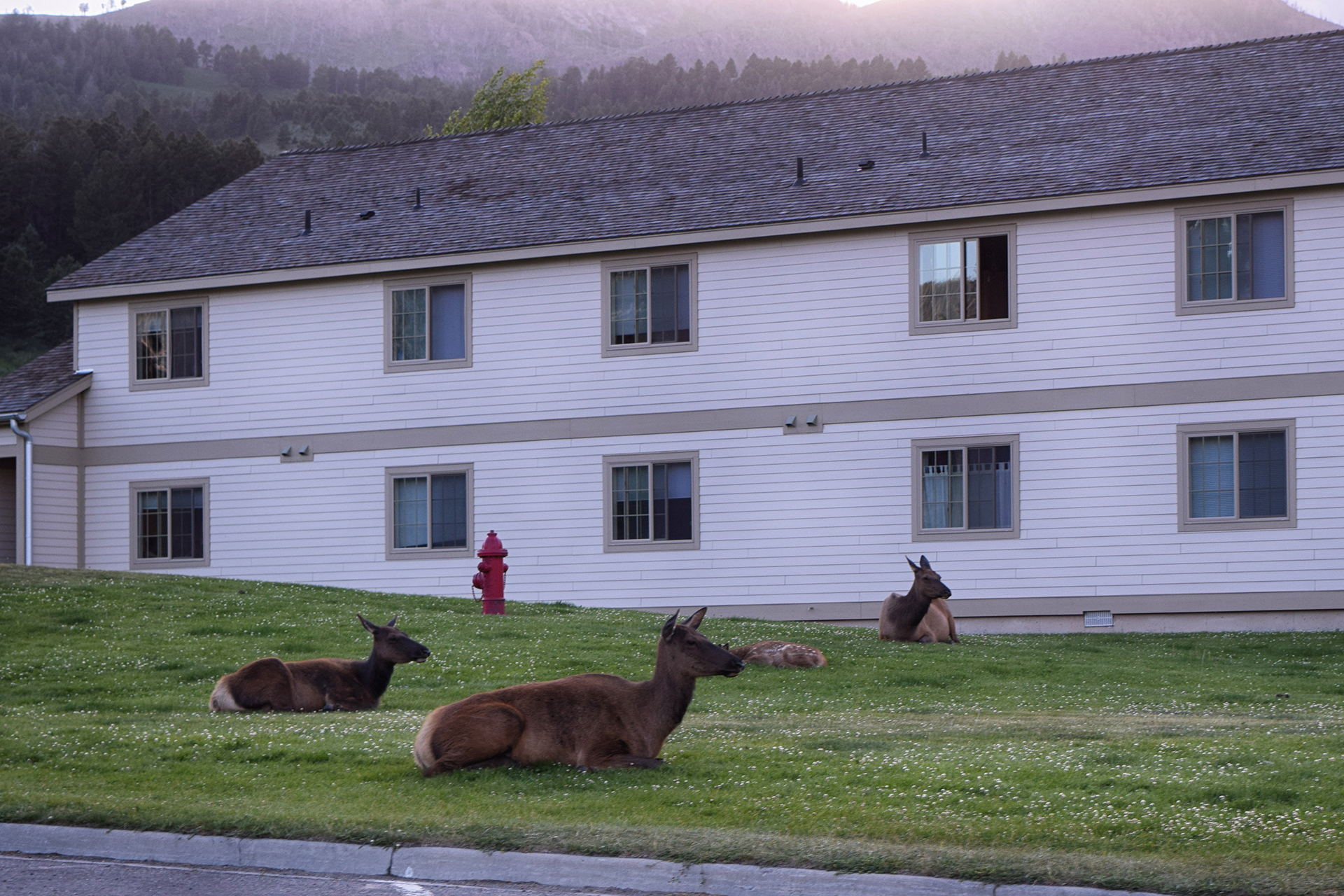
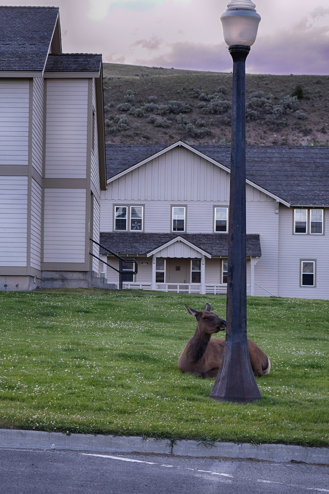
Our favorite of all the wildlife was the herd of elk that hung out near Mammoth Hot Springs in the evening.  We always passed this area by as we finished for the day, and they were always there, lounging on the grass near the visitor center and paying the rest of us no mind.  Human development has worked out just fine for some species, apparently.

This one appears to be licking a light pole.

Landscapes

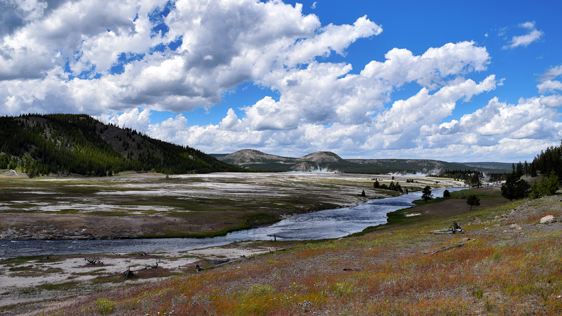
Although the geysers get all the attention, Yellowstone is a beautiful place nearly everywhere.  The landscape is incredibly varied, with windswept plains and dense forests, waterfalls, a huge lake and a mountain pass.  We constantly stopped at overlooks, or just pulled over to gawk and take pictures.

There are multiple huge and pristine lakes.  We stopped by Yellowstone Lake, a gloriously deep blue when we were there in June 2016 (yeah – we’re slow).  It’s the largest freshwater lake above 7,000 feet in North America!

More importantly, they sell ice cream there.

HATS!

We’ve mentioned the crowds at Yellowstone a few times, and that’s because there’s no getting away from them.  The park has long been busy, but last year it was exceptionally so.  Before 2015, the record for visitorship was 3.6 million people in 2010.

Last year?  4.25 million people visited.

Everywhere we went, we struggled with overfilled parking lots, long lines, and traffic jams.  Unfortunately, the park is so big that there’s no easy way to get around except by driving.  And also unfortunately, as an international tourist destination, the park attracts plenty of visitors who have never driven in the United States before.  Jaw-dropping maneuvers are common, oncoming traffic be damned.

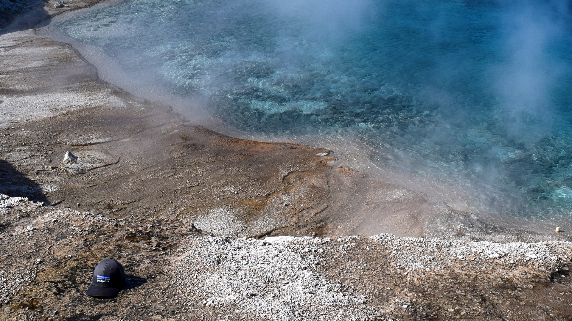
There is also an ecological cost to having so many visitors, and that cost can be measured in hats.  Yellowstone is windy, and the non-boardwalk areas are toxic.  The combination is lethal for headwear.  At every pool, every geyser, every hot spring, we saw enough fallen hats that we briefly considered starting an entirely new blog, the Hats of Yellowstone.

We’re not going to just give away all that content here.  Consider this your free taste.

Roadtrip Time Travel

Roadtrip Status

We’ve reached the end of our roadtrip!  We’re settled down in Denver, but we’re going to keep making blog posts and posting our favorite photos from the trip, so stay tuned for more.

Follow Us On Social Media

FacebooktwitterinstagramFacebooktwitterinstagram

Latest Posts

0

Week 51: Black Canyon of the Gunnison

After our short but fascinating visits to Mesa Verde and Hovenweep, we headed northeast through western Colorado to a town called Montrose.  This was easier said then done: the high Colorado peaks typically run north-south through the state, but between Cortez and Montrose there is a spur, which is to say, “very high mountain range.”  In the spirit of adventure – and after some thorough research – we decided to take the direct-and-scenic route directly through the mountains via Highway 145.

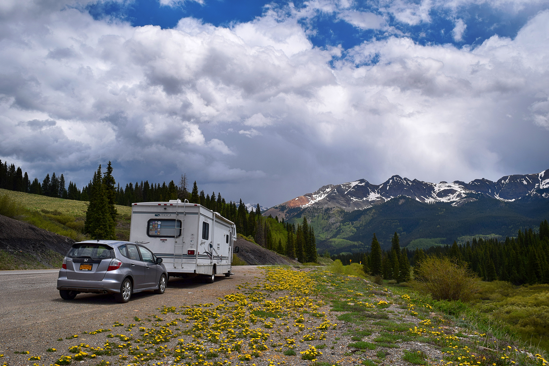
We were a little nervous after our disastrous drive on Utah’s Scenic Highway 12, but Highway 145 was smooth sailing.  The views were magnificent the entire way, and when we stopped for a quick picnic lunch at the highest point, Lizard Head Pass, we just had to take a picture.  The result was one of our favorites from the trip.

As usual, getting back down from the mountain pass was trickier than getting up, but careful braking and our RV’s extremely non-aerodynamic profile helped us descend safely.  We soon made it to the wide-open RV park near Montrose, and if the CVS in Cortez had been exciting, the big-box stores here made us positively giddy.  It had been over a month since we had been in any kind of real city (Salt Lake City), and the dusty tourist towns of Moab and Kanab just can’t quite scratch the itch.

We will happily wander for 40 days in the desert, so long as there’s a Target at the end.

The Black Canyon of the Gunnison

We stayed in Montrose to visit the nearby Black Canyon of the Gunnison, a national park with a foreboding name.  Although obscure, it turned out to be well worth visiting.  The Black Canyon is named because it is so deep and narrow that sunlight almost never reaches the bottom.  The deepest spots receive only 33 minutes of sunlight per day.

The “Gunnison” part of the Black Canyon of the Gunnison is a swift-flowing river, and it carved the canyon over the course of millions of years.  Unlike the rivers that created most large canyons, however, the Gunnison did not have the luxury of cutting through soft sandstone and limestone.  Instead, the Gunnison carved the Black Canyon out of an incredibly hard type of rock called schist.

Because the rock is so hard, it lasts.  The oldest schist here is approximately 1.75 billion years old.

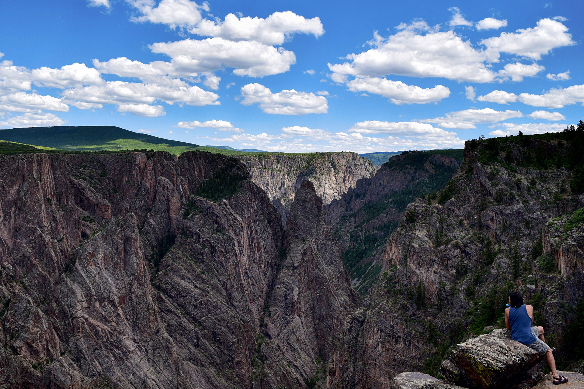
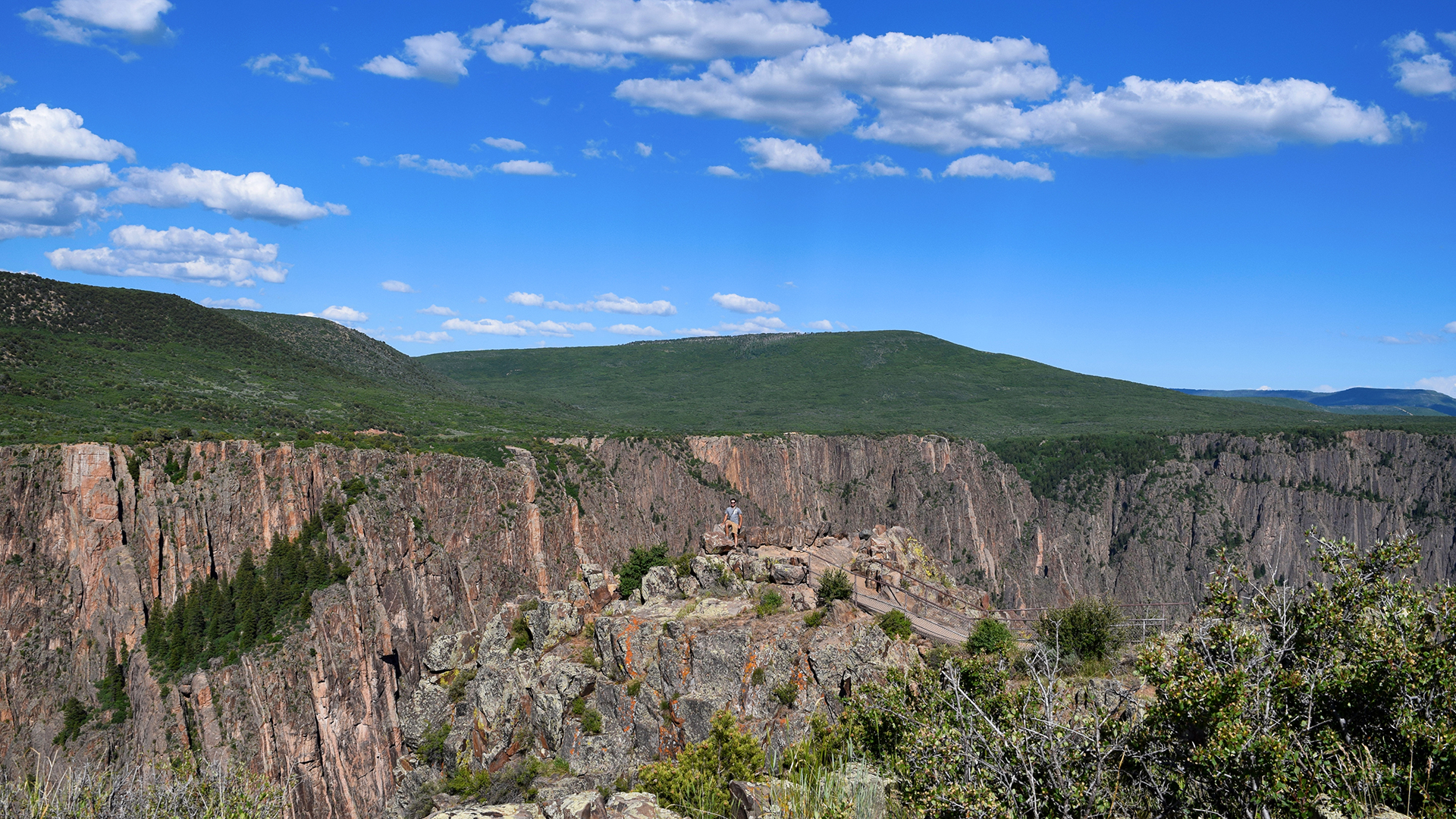
It all adds up to some rather striking views.  Can you spy Jake in the picture below?

The only reason the canyon is even possible is because the Gunnison flows with incredible fury during the late spring and summer.  At times, the flow rate of the water can exceed 8,000 cubic feet per second.  For reference, wading through the famous Narrows at Zion National Park is prohibited as too dangerous if the flow rate surpasses 150 cubic feet per second.

So, yeah.  8,000 cubic feet per second is a lot.  Venturing in is not recommended.

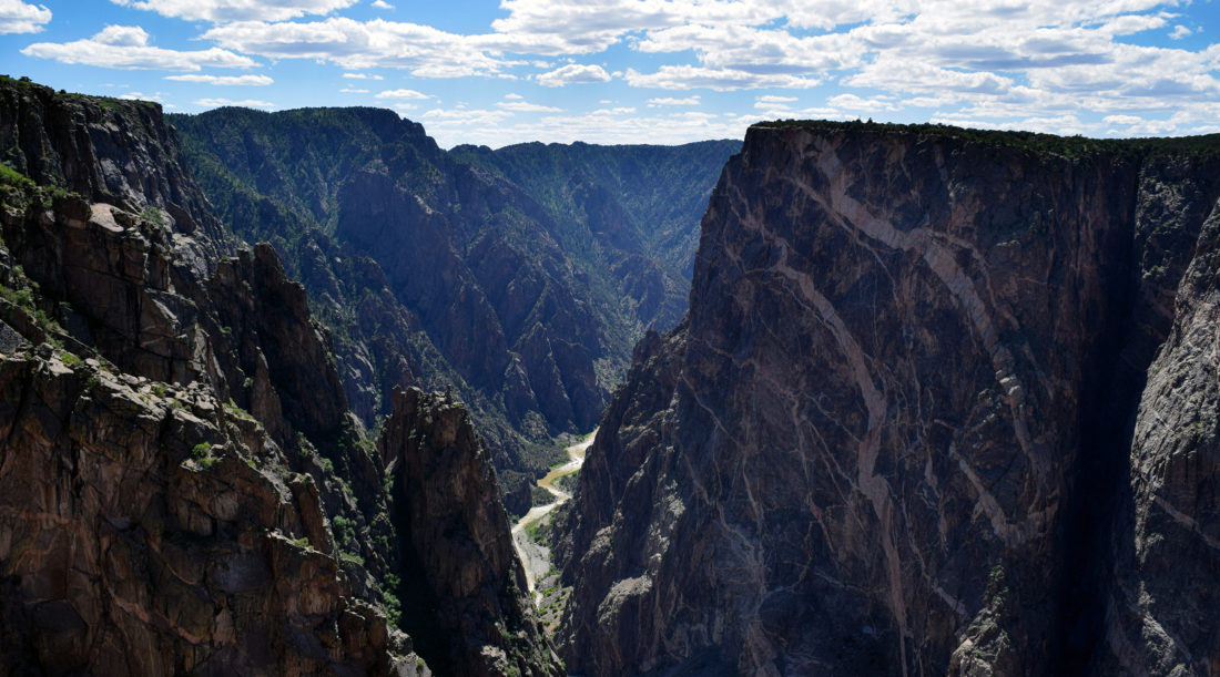
The Black Canyon looked amazing in person, but it’s tough to photograph because the angles are so sharp. It’s all knife edges and sheer cliffs, and the bottom really is dark.  On top of that, most of the rock is a uniform dark grey, although here and there it is slashed with beautiful seams (“dikes”) of lighter-colored pegmatite.
There are many, many overlooks, mostly between 100 to 300 yards away from the road (for some reason everything at the Black Canyon is demarcated in yards).  As national park completionists, we stopped at every single one, and we’ll just say – 300 yards each way may not sound far, but it adds up to a lot of walking!

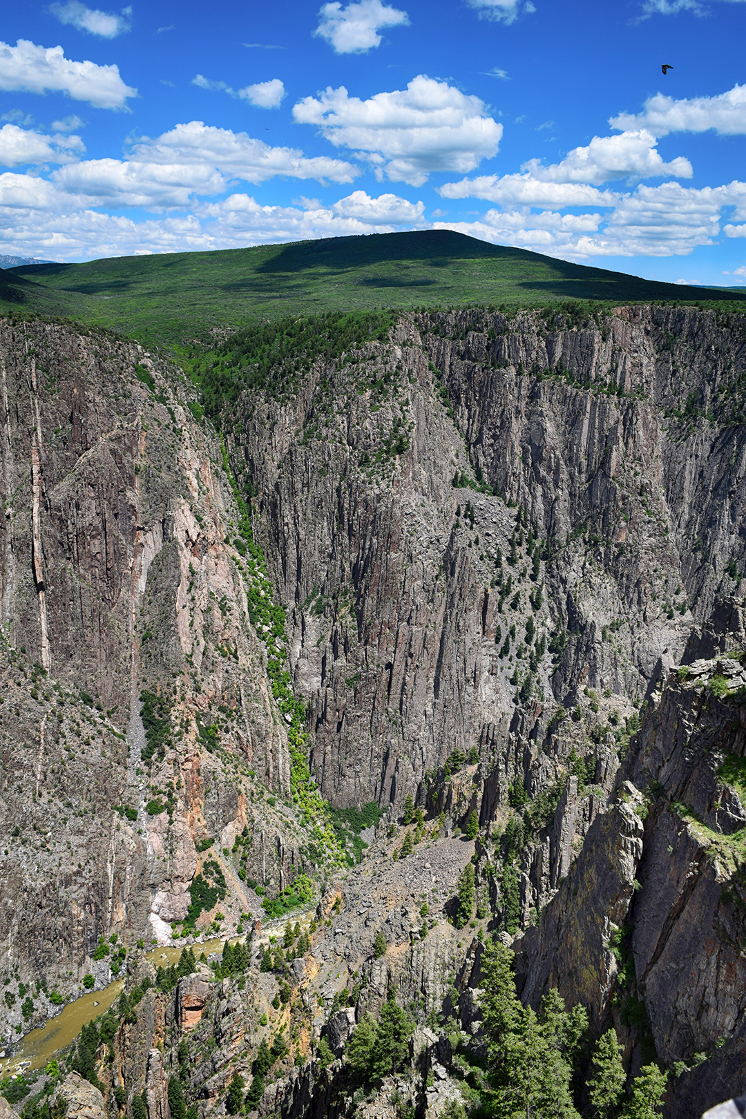
We really enjoyed one overlook near the end where the canyon widened a bit.  The cliff wall you can see in these photos is about 2,500 feet high. That’s more than 833 yards!

We also took a short but satisfying hike along the outer rim of the canyon.  The elevation was high so our breath was short, but the views out over Western Colorado were magnificent.

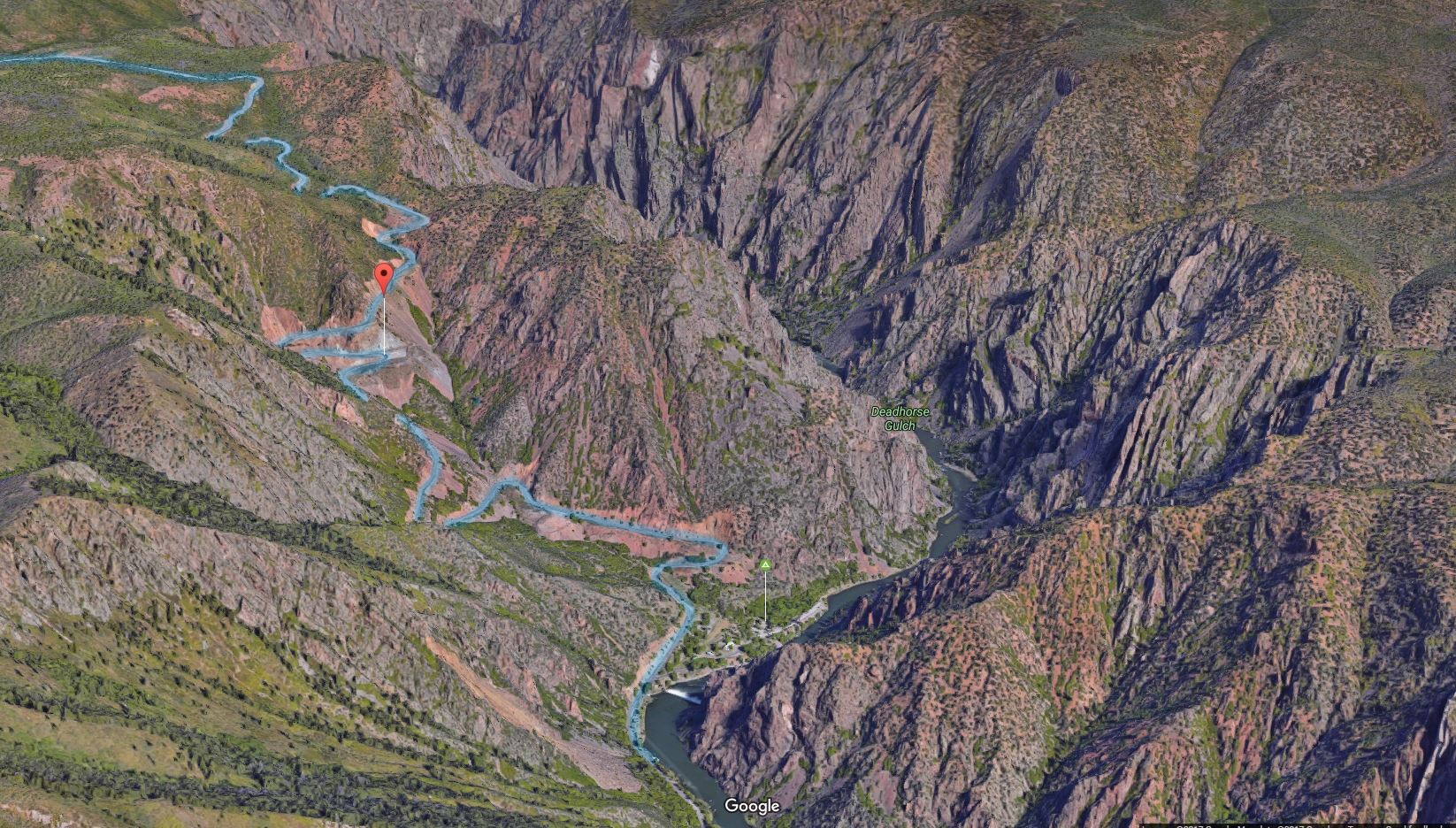
After checking out every overlook, we drove down to the Gunnison river itself.  The route there is called East Portal Road, and it is incredibly steep.  The road continuously switchbacks, and even so, it descends at a ridiculous 16% grade.  That’s far more than you’ll ever see on a highway, but our Fit handled it just fine, albeit only in first gear.
At least we got good gas mileage on the descent!

At the bottom, there was a diversion dam for the Gunnison irrigation tunnel and a tiny information and picnic area.  And… nothing else.  After poking around for a few minutes, we headed back up East Portal Road disappointedly, apologizing to our Fit the entire way as it churned its way back up the mountain.
This time, our gas mileage wasn’t quite so good.

Roadtrip Time Travel

Roadtrip Status

We’ve reached the end of our roadtrip!  We’re settled down in Denver, but we’re going to keep making blog posts and posting our favorite photos from the trip, so stay tuned for more.

Our trip to the Black Canyon was on June 14, 2016.

Follow Us On Social Media

FacebooktwitterinstagramFacebooktwitterinstagram

Latest Posts

0

Week 47.2: Zion National Park

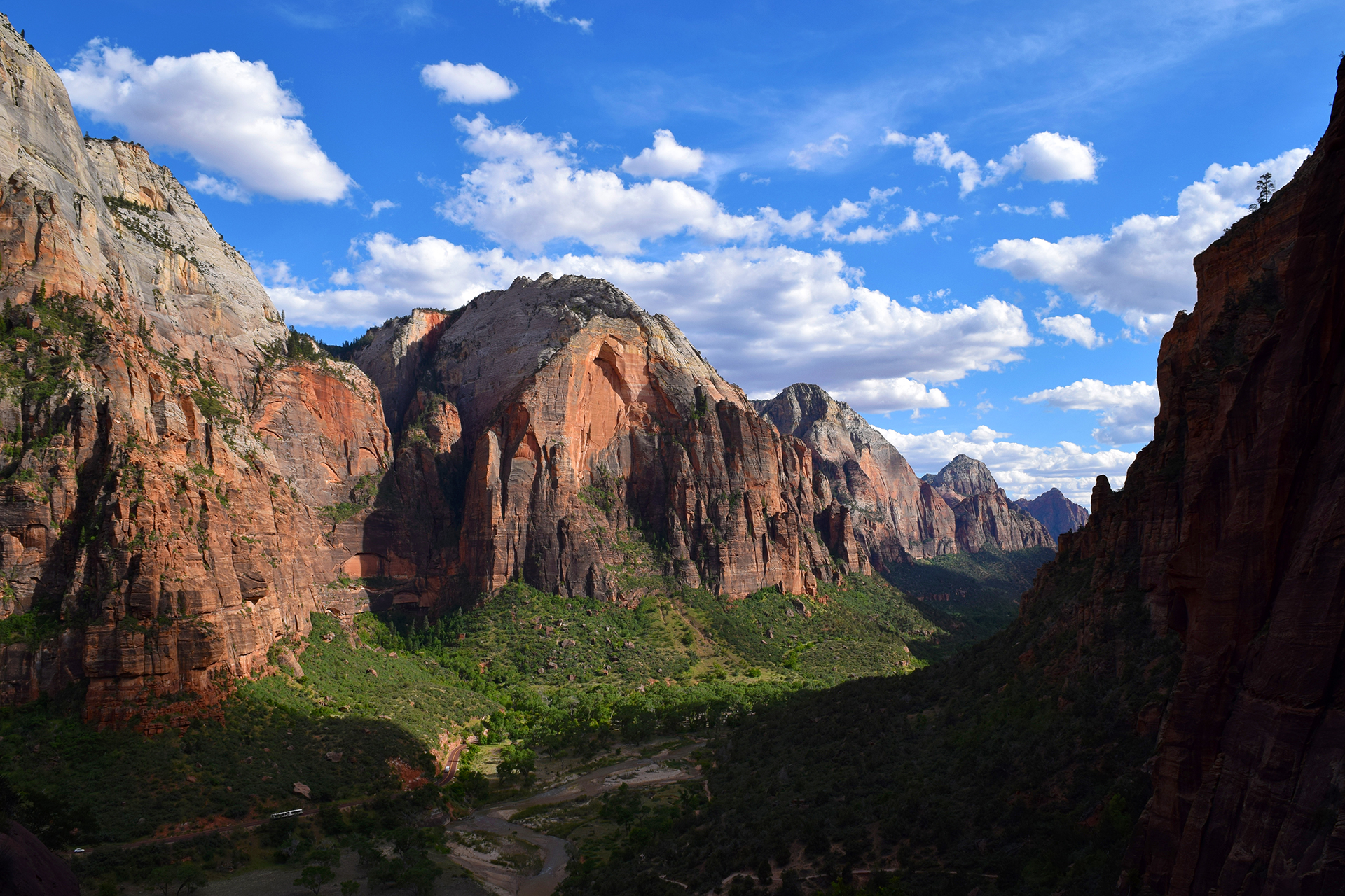
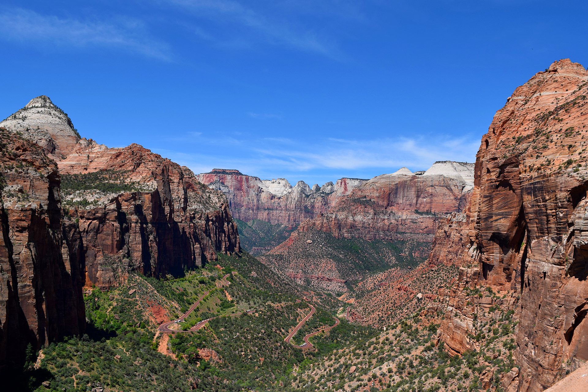
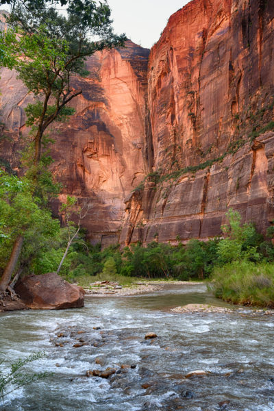
Zion National Park is often rated as one of the most beautiful national parks in the country, and with good reason.  Zion is a canyon, or series of canyons, but unlike at the Grand Canyon, you enter from the valley floor.  The valley is lush with greenery, since the Virgin River that cut it still flows through, and if you stand in just the right places, the mountains curve away into the distance in the most breathtaking way.

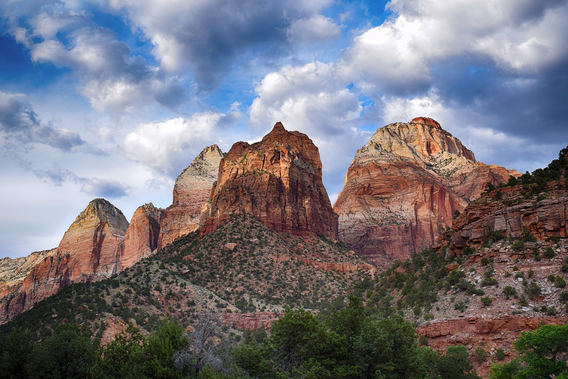
Our favorite part of Zion were the many beautiful cliffs.  Incredibly tall and sheer, each showcases a stunning gradient of fantastically varied colors.  Zion sits in the middle of what is known as the “Grand Staircase,” a vast rock formation (recently protected as a national monument) which stretches across Utah and Arizona from Bryce Canyon to the Grand Canyon.  The “steps” to the staircase are rock layers – the oldest (bottom-most) rocks at Zion, a dusty vermillion red, are the youngest (top-most) rocks at the Grand Canyon.

As you look up towards the top of the canyon walls, you see ever-changing bands of color that terminate in a beautiful white stone.  In the tallest places, we could even see an eye-popping yellow.  On the top of the Grand Staircase, at Bryce Canyon (coming up next), these white and yellow colors are at the bottom of the deepest cliffs.

Stop – Transit Time

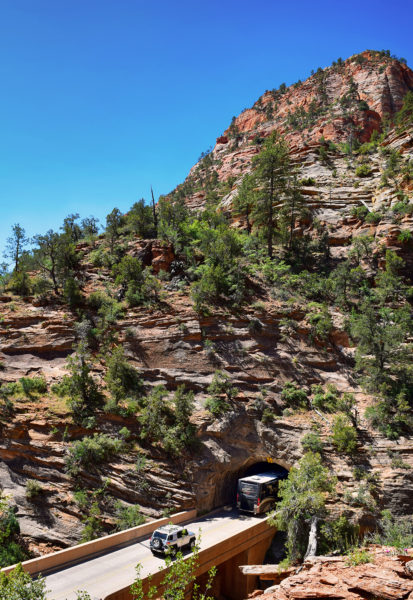
We visited Zion from Kanab, which is a short but not easy drive.  The route requires traveling through the park’s east entrance, an old, mile-long tunnel blasted by the CCC.  The tunnel is quite low and narrow, and it has to be closed to one-way traffic every time an RV or bus goes through, because they only fit if they can drive in the exact center of the lanes.

We were in our car, so we fit fine, but we often had to wait for an RV to pass through.  In retrospect, we wish we had stayed in the town of Springdale, where you can walk directly into Zion. Once you’re in the park, it’s pretty easy to get around – like many heavily-visited national parks, Zion has a free shuttle system to take you to the main sights.  Unusually, use of the shuttle is actually mandatory from spring to fall.  The road into the canyon is closed, and you park on the outskirts and take the shuttle to different spots inside.

Getting around via shuttle can be a little slow, but we didn’t mind.  Zion is a delicate place, and we were happy to help preserve it. As a bonus, we really enjoyed watching the palpable horror some of our fellow Americans felt at having to use public transit.

Razor Thin Margins

There is an incredible amount to see at Zion, with overlooks all over, and it’s a hiking paradise.  We went three times and barely scratched the surface.  In particular, we never got to hike the famous Narrows or the Subway, slot canyons still being carved by the Virgin River.  We really wanted to try them, but the routes were closed.  The river essentially is the hiking (“wading”) trail, and the spring melt had left the water level and flow rates dangerously high.

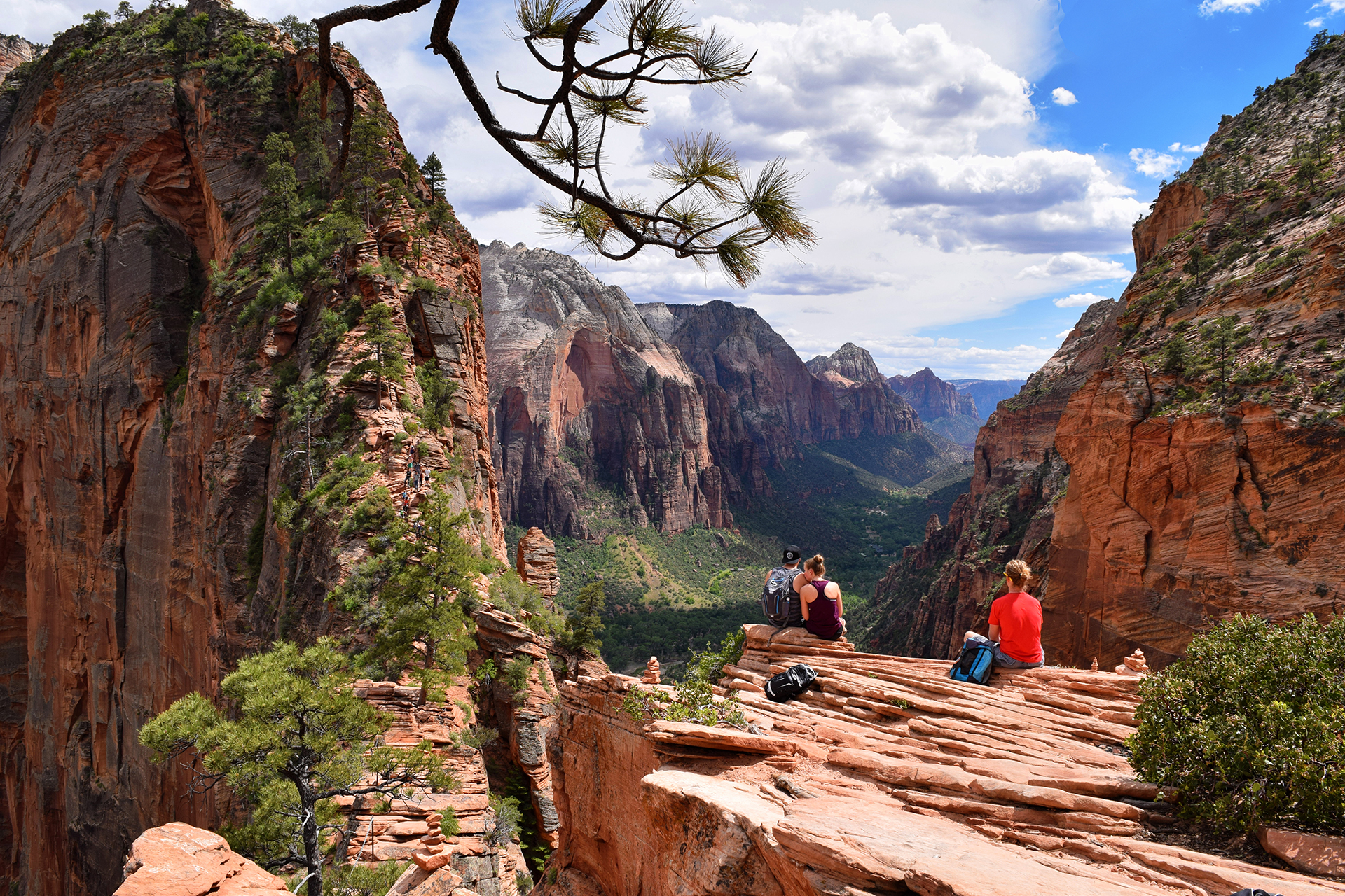
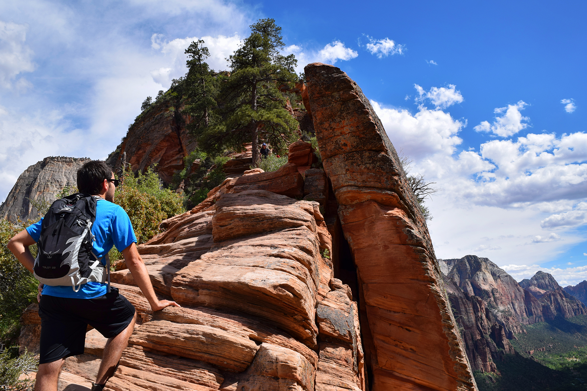
Don’t worry, we still found plenty of ways to risk life and limb.  We kicked things off with a bang by hiking the also-famous Angels Landing trail, which we knew little about before we started (familiar territory for us).  It starts with a steep, 1,000 foot climb before reaching a plateau with some nice views, and for the adventurous, you can go another half-mile to an incredible viewpoint.

The only catch?  That last half-mile involves hiking on a knife’s edge, with the trail sometimes just a few feet wide, and 1,000+ foot cliffs on either side.  In mountain hiking terms, this is called “exposure,” as in, “you are exposed to dying.”  A single chain acts as both a guard-rail and handhold, but it’s two-way, so you constantly have to let go so people can pass.

Holy hell, that was crazy.  It turns out quite a few people have died doing the Angels Landing hike, something we were happily ignorant of before we started.  It was definitely scary – Jake has spent much of this trip working on his fear of heights, but Angels Landing was desensitization treatment in the extreme.  Even once we reached the top, which was mercifully flat, there was one last walk between cliff-edges, with the wind gusting unpredictably as it tried to push us off.

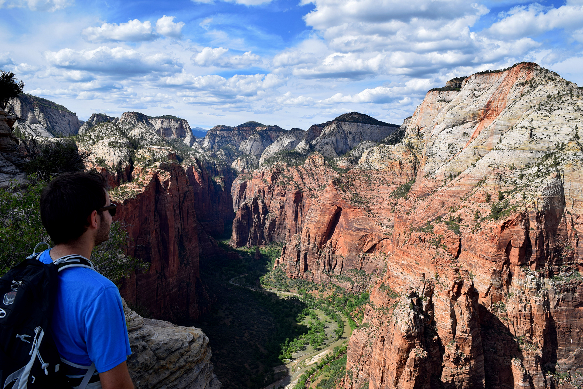
It was all tiring, and terrifying, and occasionally flat-out insane, but those views…

All worth it.

Bonus story that will make your blood boil: as we headed out into the terrifying chains portion, we passed a family with FOUR TODDLERS coming back the other way.  Like, 3-5 years old, max.  Each one was wearing, essentially, a dog harness, with the leash tied to an adult in the group.  So, points for safety, but we still wouldn’t recommend it.  The kids were clearly exhausted – this was a tough hike for us, and we were pretty much professional hikers at this point – and kept asking when their nightmare death climb would be over (paraphrasing).

Their parents just told them to stop complaining.

Taking It Down a Notch

After our Angels Landing adventure, we decided to lower our risk of death by exploring the canyon floor.  There was plenty to see, most notably the Emerald Pools, a series of waterfall-fed pools that couldn’t possibly kill us.

Except… while looking up the Angels Landing death statistics for this post (5 official, many more unofficial), we discovered that the National Parks Service lists 7 deaths for Emerald Pools, more than for Angels Landing!  The lesson: never go anywhere.

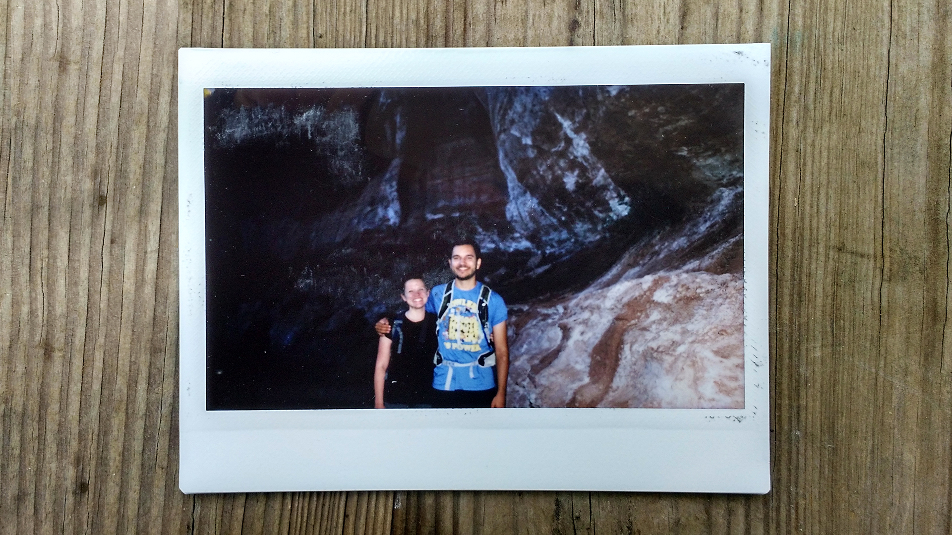
The Emerald Pools weren’t even that photogenic, which is why we aren’t featuring pictures of them here.  We did have a fun encounter, however, when a group of college kids asked us to take their pictures using a ridiculous Polaroid-style camera.  To sweeten the deal, they offered to take a Polaroid of us in return.  So we took their picture and had ours taken in return – and it turns it’s still pretty fun to get a physical picture, even if has an image quality somewhere between “prehistoric cave painting” and “mud stain.”

Up And At’em

For our final experience in Zion, we decided to try another long hike, this time climbing up the side of the canyon wall towards the rim.  It was tough, but the terrain was constantly changing, keeping us entertained.  There were valley views, different valley views, sand, switchbacks, a (sort of gross-looking) reflecting pool, and even a small slot canyon with a talus cave!

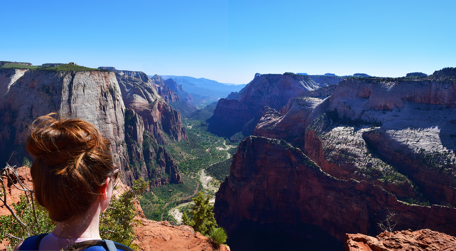
After we made it to the top, we walked about a mile along the rim, passing the yellow stone we discussed earlier.  We also took a lot of pictures, snapping them whenever the view down Zion Canyon changed ever so slightly.  (We took over 1,400 photos during our three days here!)  We ended up on a large promontory – the literally-named “Observation Point” – which juts out into the canyon like the prow of a ship.

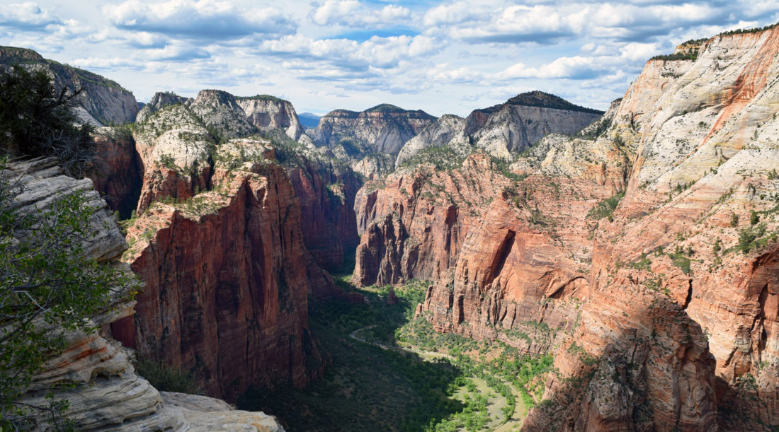
Standing on one of the highest points in the area, we had an incredible, 360 degree view.

You can see Angels Landing in these photos – it’s the large, fin-like “island” in the valley below.  That’s where we hiked with the chain and the exposure and the toddlers-on-leashes.

Someday, we really hope to do it again.

Roadtrip Time Travel

Roadtrip Status

Still alive?  Check.

Where are you now?  Ithaca, NY, seeing about a million waterfalls.

Next location?  Going down to visit NYC!

Follow Us On Social Media

FacebooktwitterinstagramFacebooktwitterinstagram

Latest Posts

0