Week 54: Glacier National Park: Part 2
We’re back with Part 2 of our trip to Glacier National Park, a place so beautiful it makes the background of our pictures look photoshopped. If you haven’t seen Part 1, check it out here.

Logan Fog
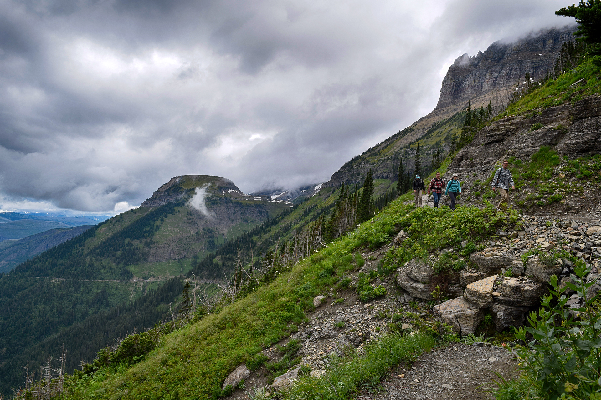
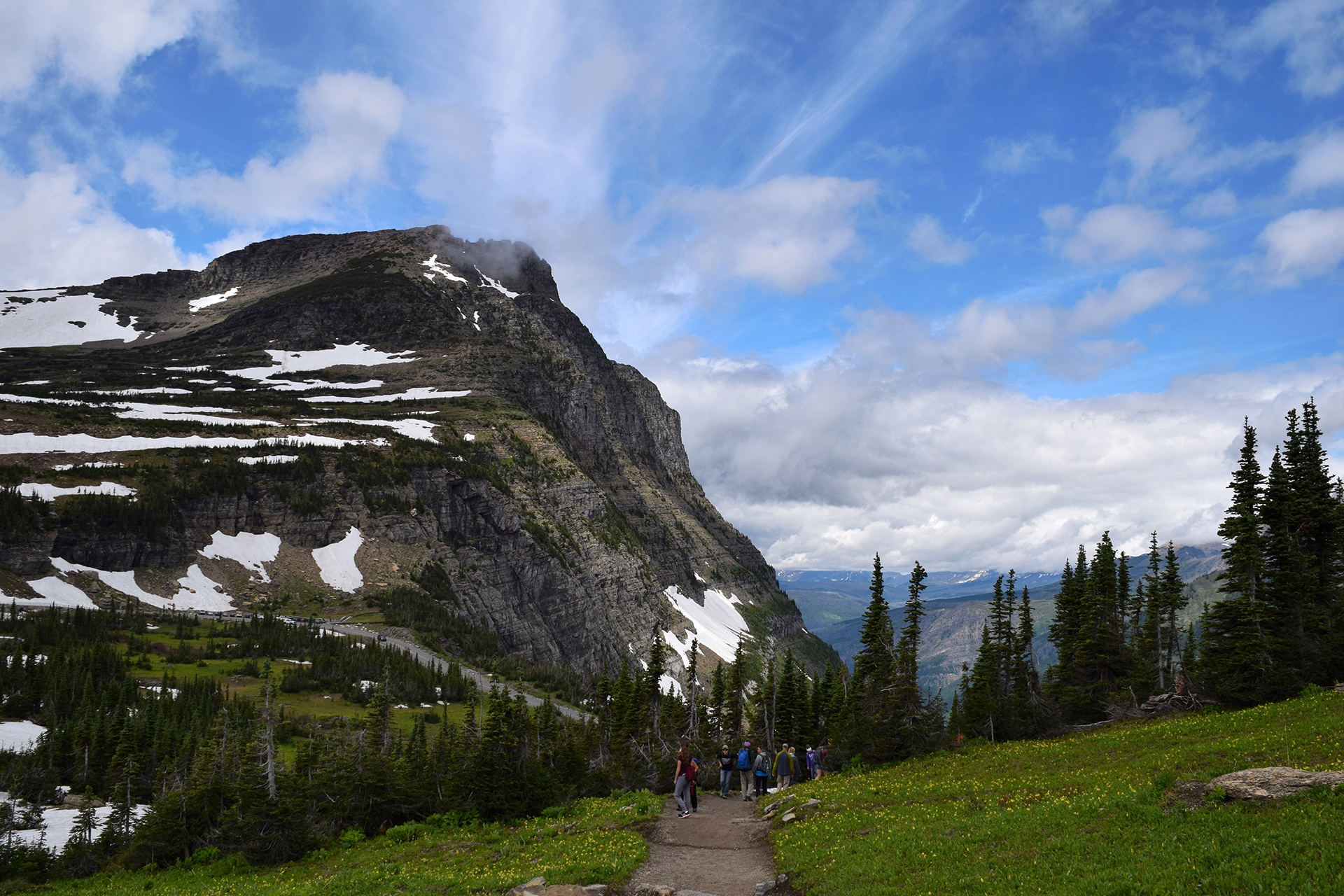
Due to grizzly bear activity, hikes in Glacier tend to close without warning. That happened to us when we reached Logan Pass, the top of Going-to-the-Sun road, and found the option we wanted was closed. So, in the spirit of adventure, we persuaded Jake’s family to go on one of Glacier’s most famous hikes: The Highline Trail. The Highline Trail starts at Logan Pass, and it runs directly above Going-to-the-Sun road.
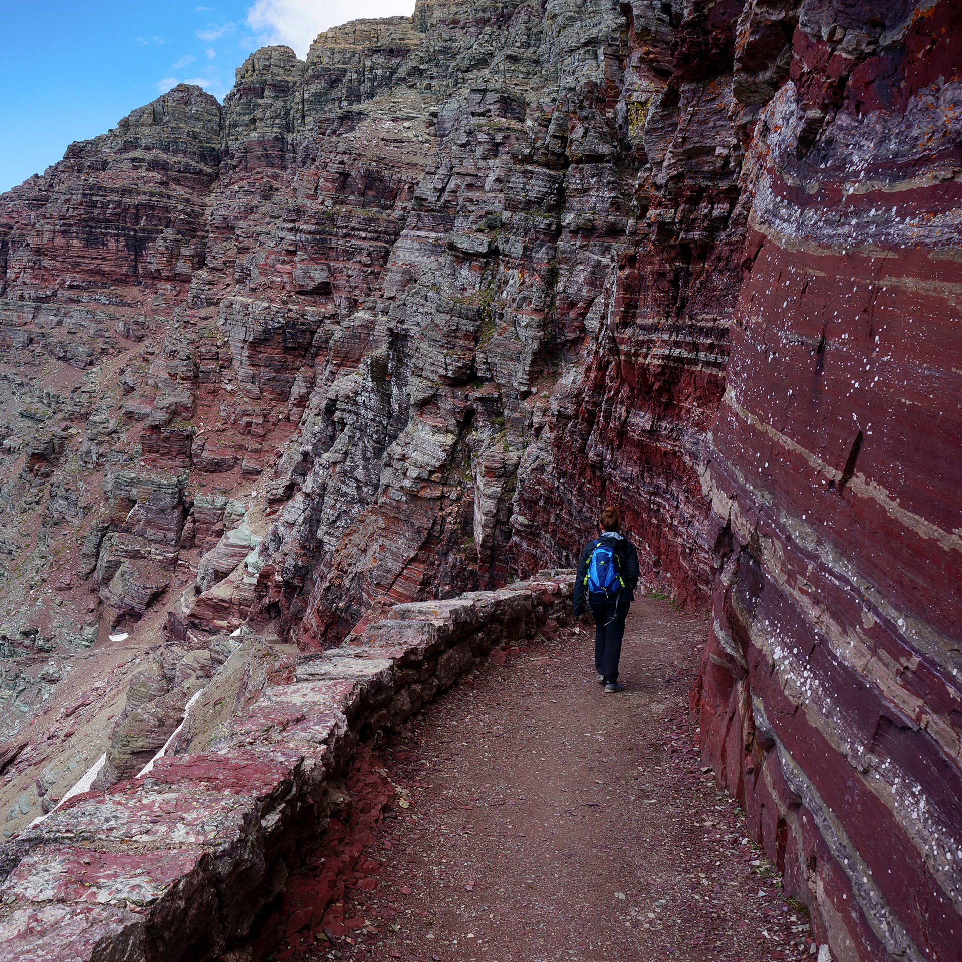
Oh, and it starts with a walk along the side of a cliff.

There is a handrail, of sorts. A chain wrapped in long pieces of garden hose is bolted to the wall, reminding us of a more comfortable version of Angel’s Landing at Zion. Jake’s mom is no fan of heights, but she got made it through beautifully – perhaps because a massive fog bank made it impossible to look down.

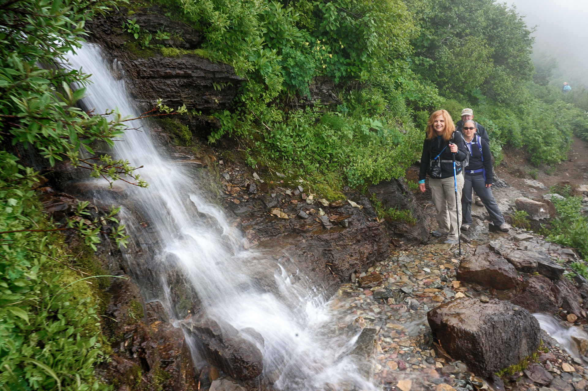
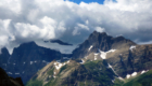
Unfortunately, the fog hung around for more than just the cliff walk. The actual trail was bursting with birds and bees, Spring flowers and cute little animals, and melting snow (in July!) but we couldn’t see a damn thing more than ten feet away. The swirls and eddies of the fog would provide tantalizing glimpses of the valley we knew was there, but couldn’t see.
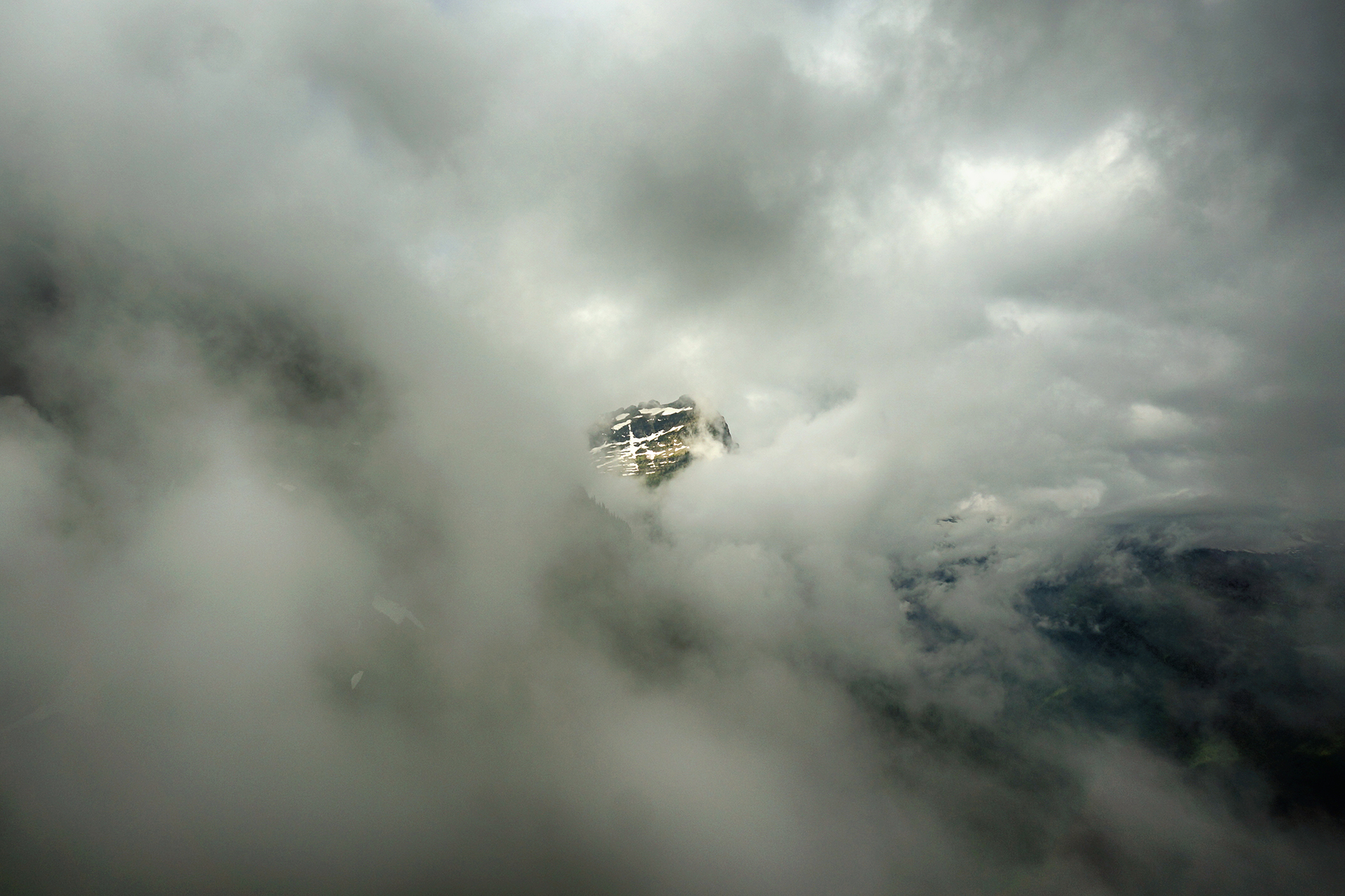
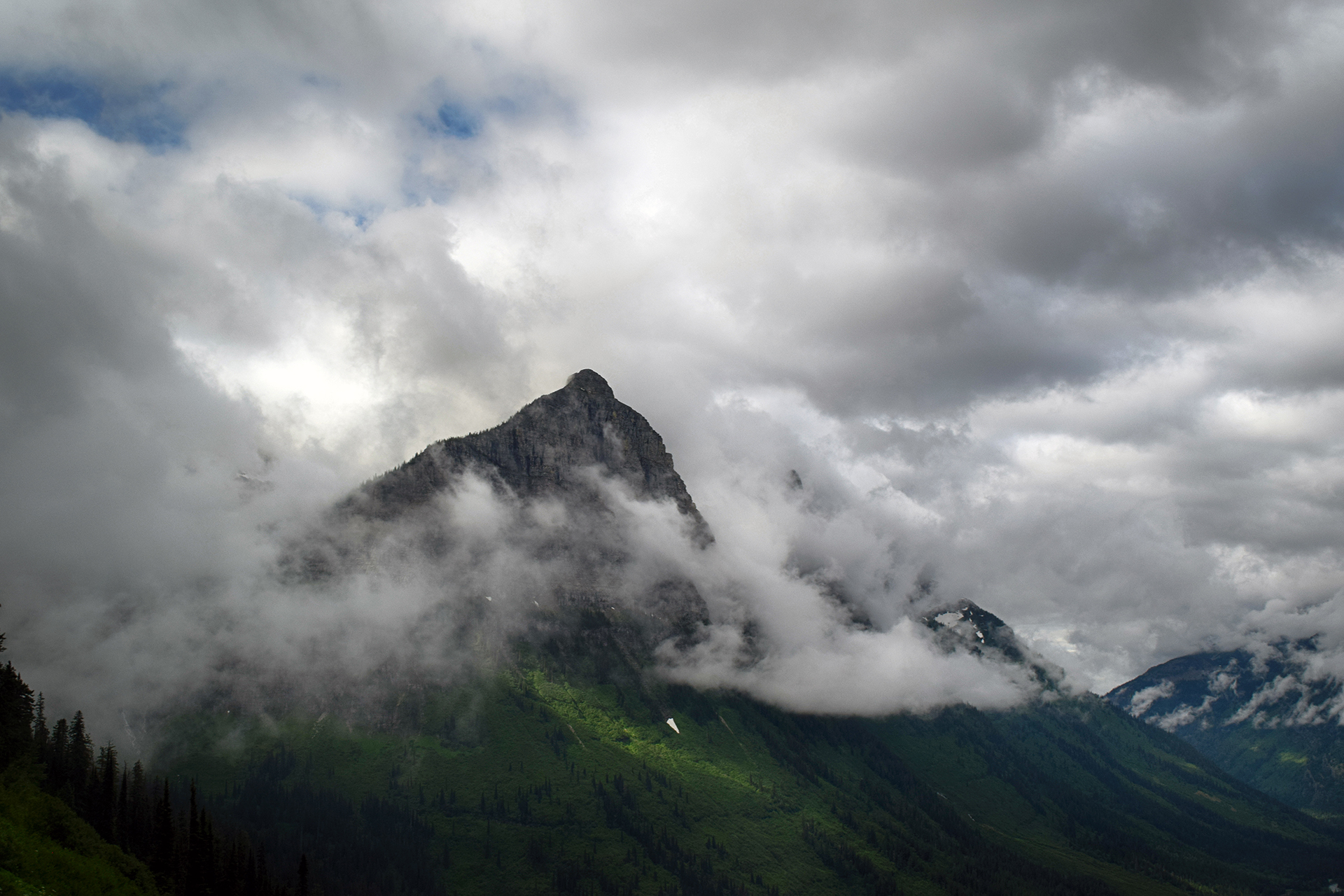
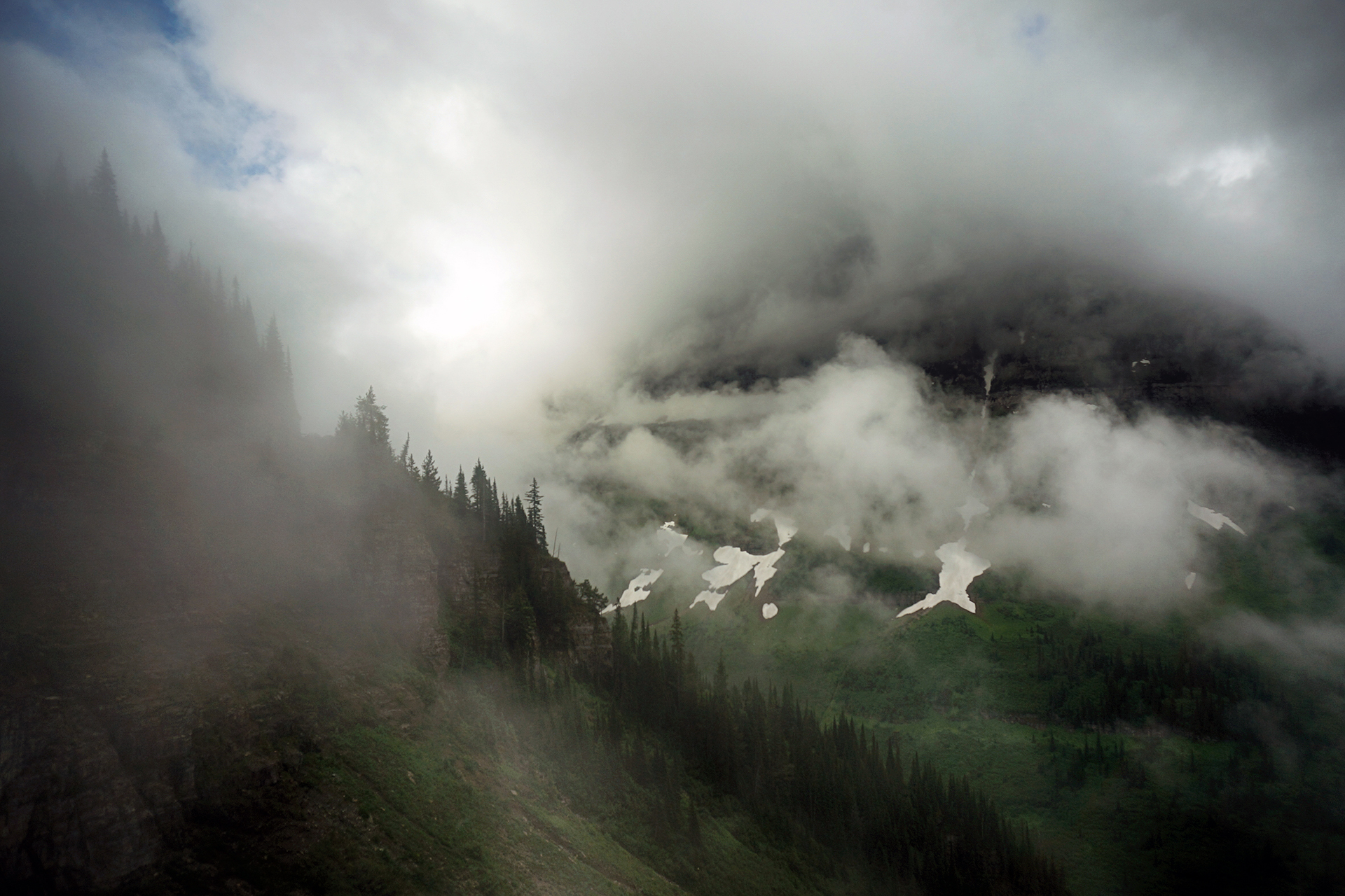
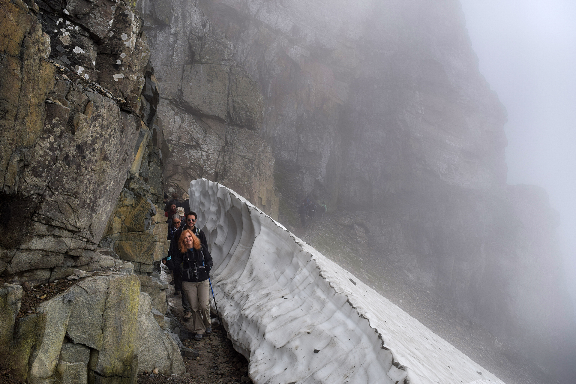
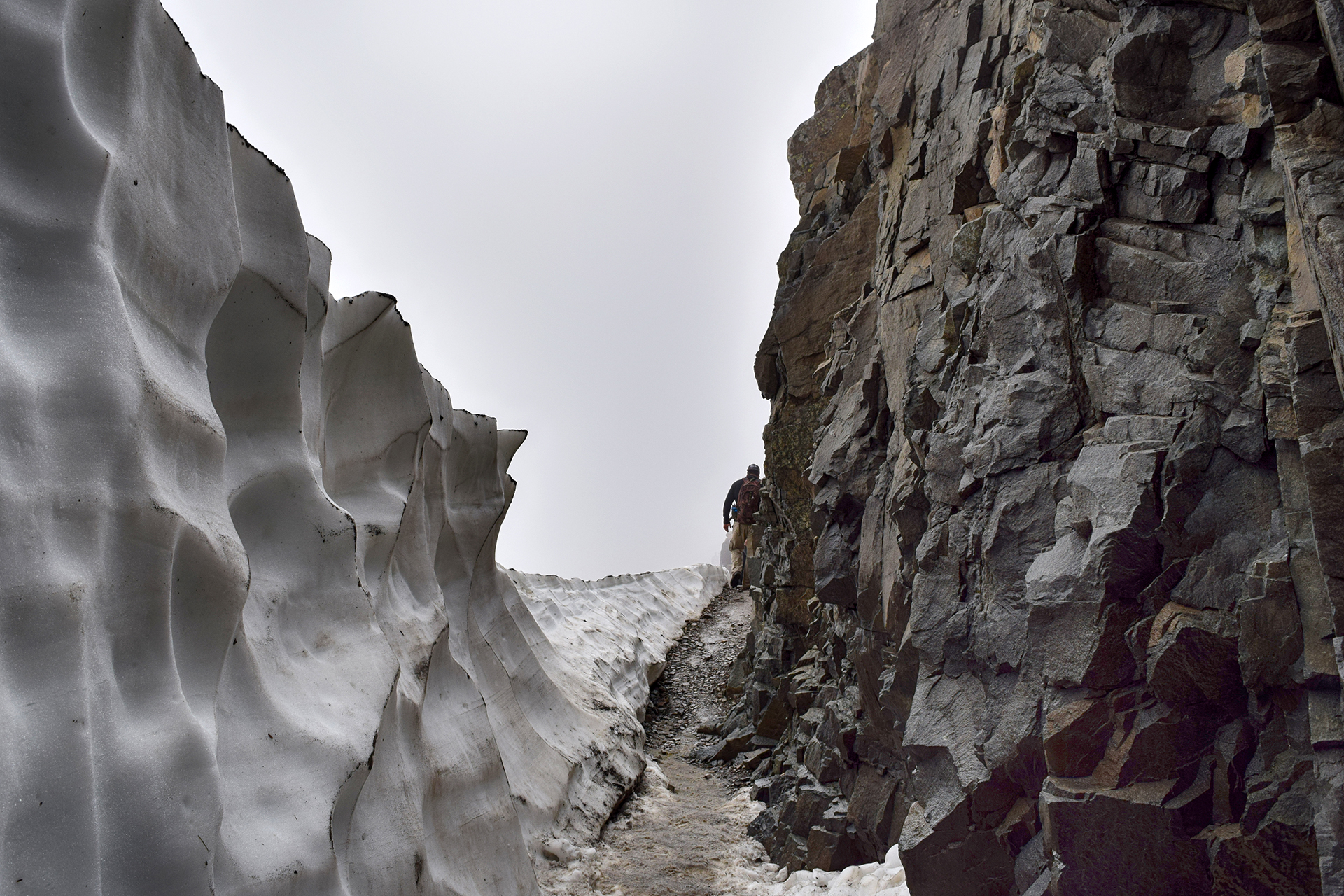
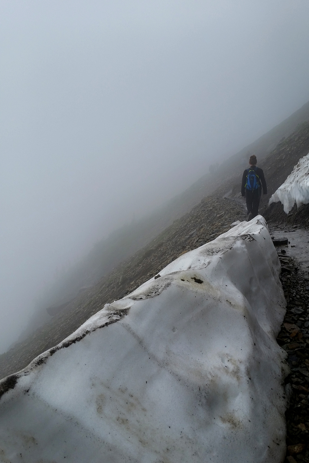
We decided to turn back after a while, but as luck would have it, the fog lifted right before we made it back – and it was a stunning sight.


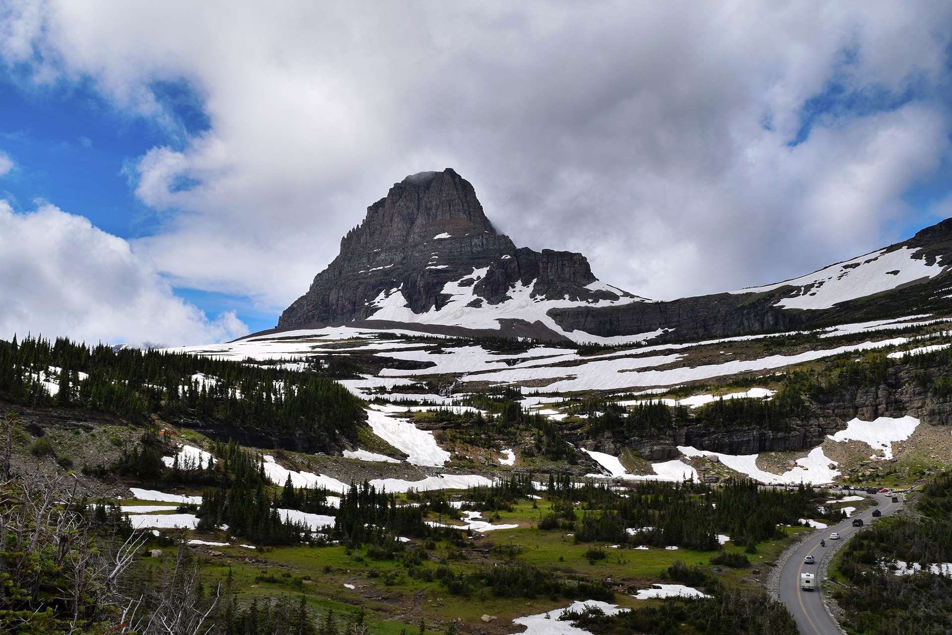
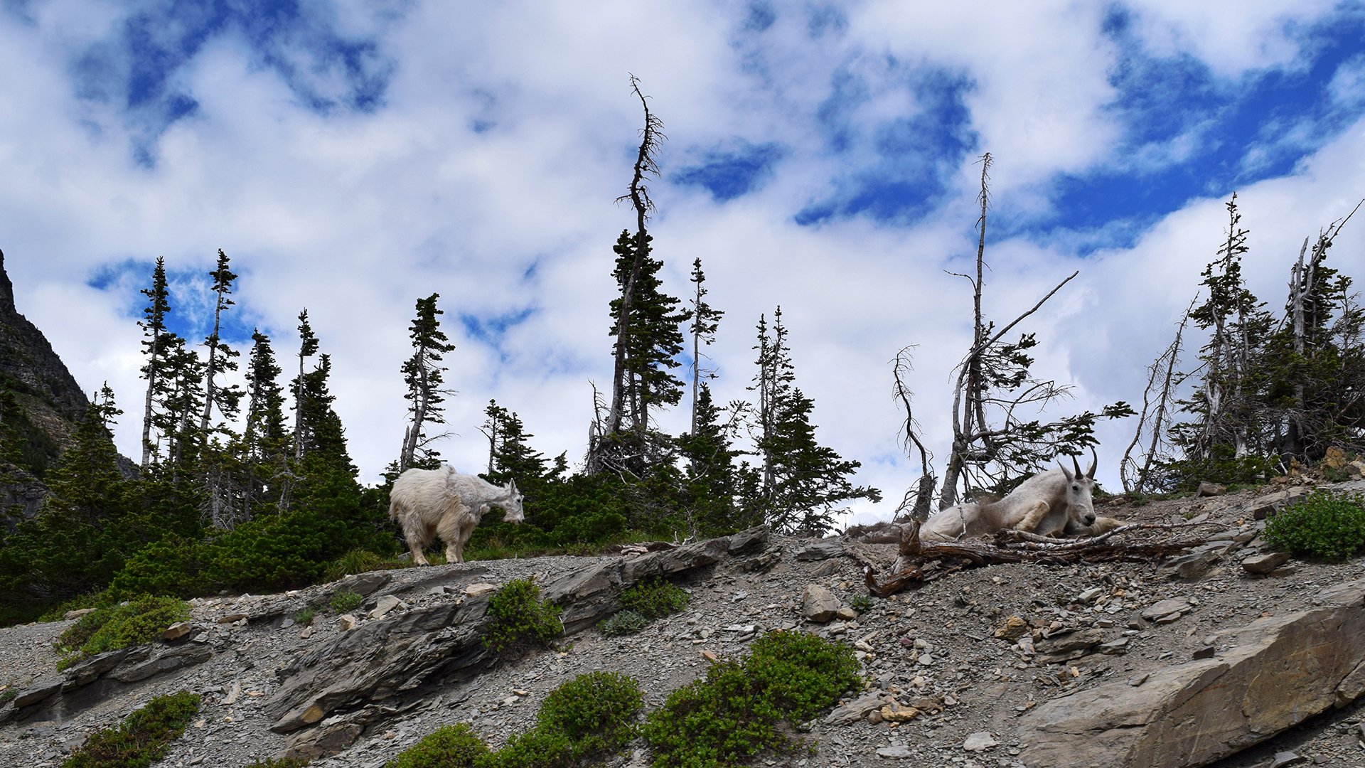
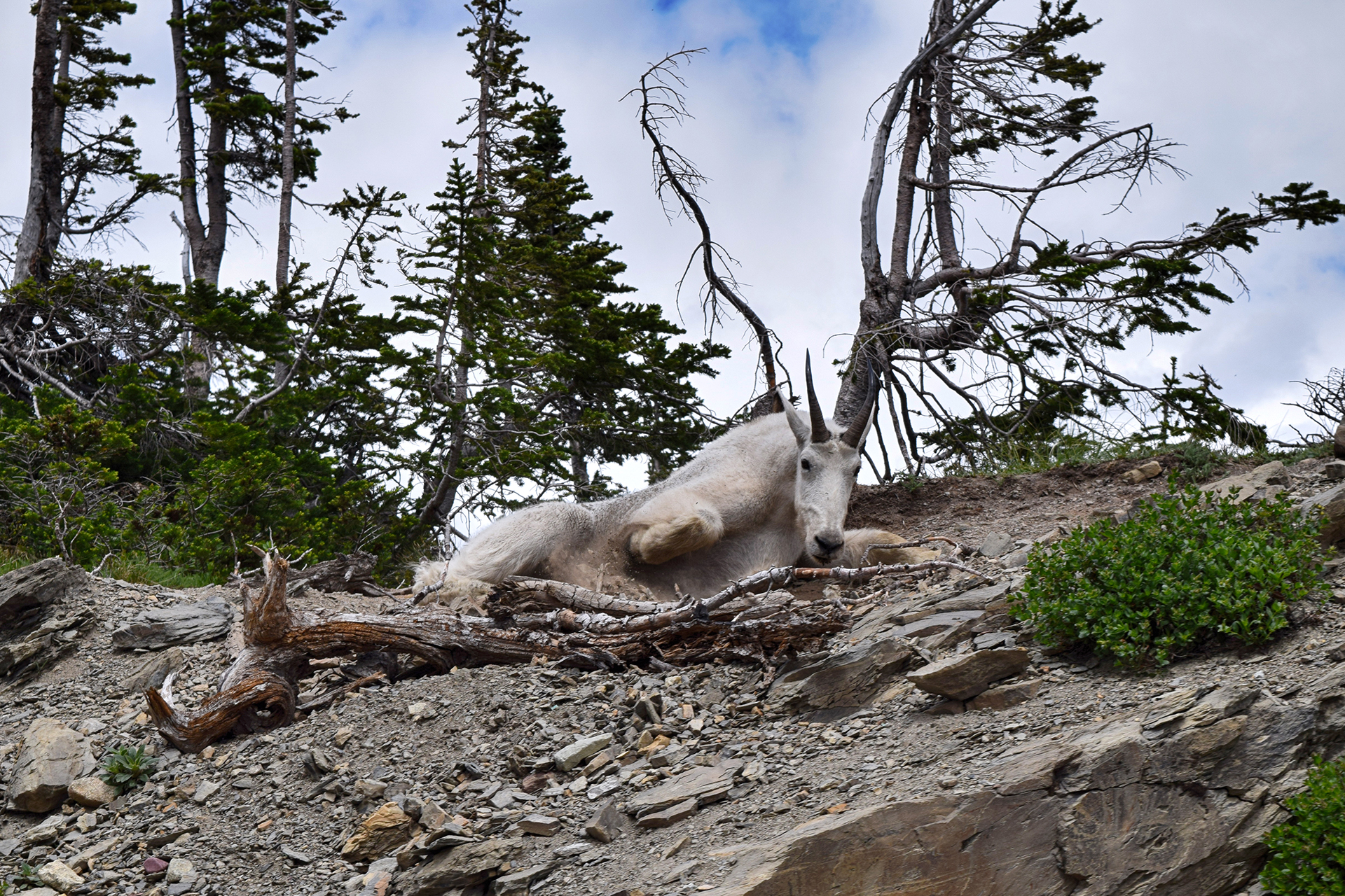
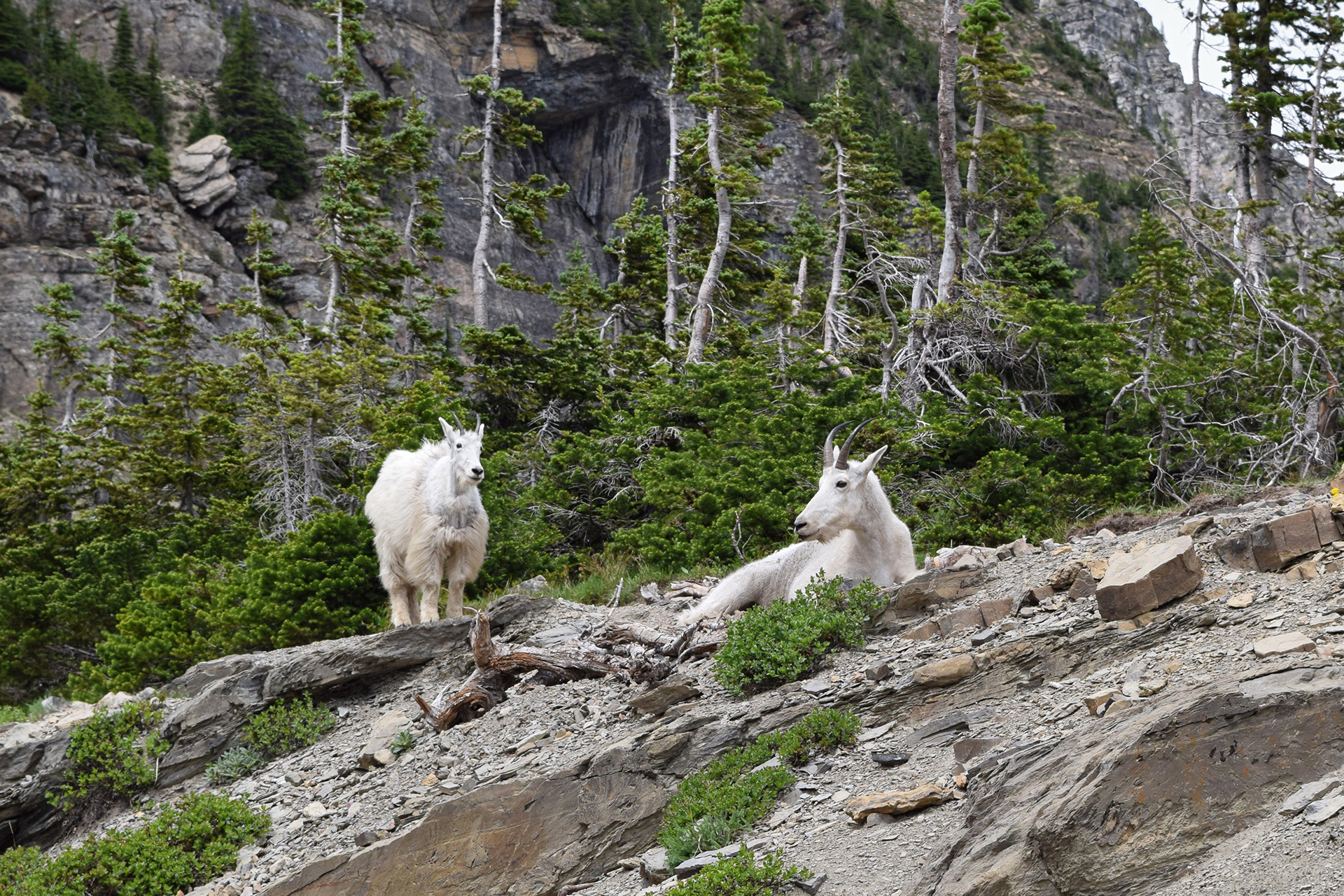
Incidentally, Logan Pass isn’t especially high by Rocky Mountain standards (6,600 feet), but it does have one thing going for it: mountain goats! They hang out right near the visitor’s center, slowing traffic and accomplishing basically nothing. As far as we can tell, their life consists entirely of licking rocks and sleeping.
Animals after our own heart.
West Side > East Side
After our week with Jake’s family was up, we sadly said our goodbyes – to Jake’s mom and dad, that is. Nothing Mundane’s official sister, Kate, stayed with us for a few more days, as we traveled around the park to… the East Side.
That probably makes no sense, so here’s the explanation. Glacier is huge, and the main entrances are on the west side and the east side, connected by Going-to-the-Sun Road. The west side is near a large tourist town with restaurants, breweries, grocery stores, and the coolest gift shop we’ve ever been to.

The east side has… an RV park, and a gas station. And that’s about it.

That’s a slight exaggeration, but not by much. There was a bar, a burrito stand, and the world’s tiniest and saddest-looking miniature golf course, but certainly no brewery or grocery store. Our Internet connection approximated the AOL dial-up days. We couldn’t even buy cooking wine, since the area is on the Blackfeet Tribe reservation and it was a tribal holiday (although apparently the bar was fine!).
At least we were able to get reservations at the RV park here. As it turned out, the RV park itself has its own restaurant. The enterprise was essentially built by hand by settlers in the 1950s, and there were some interesting mementos. Our favorite were the guestbook pages laminated into the table.

There is a downside to being a family run business, however, not to mention being the only game in town. The waiters and waitresses may literally have never been to another restaurant, because their service was so terrible it was almost impressive. They genuinely could not have cared less whether we enjoyed our meal. Jake also learned that, while “chef’s choice” may get you something good and unique at a high-end sushi restaurant, it gets you “a pile of whatever crap we couldn’t sell this month” at family-run RV park restaurants in northwestern Montana.
Learning is fun.
Ice, Ice Baby
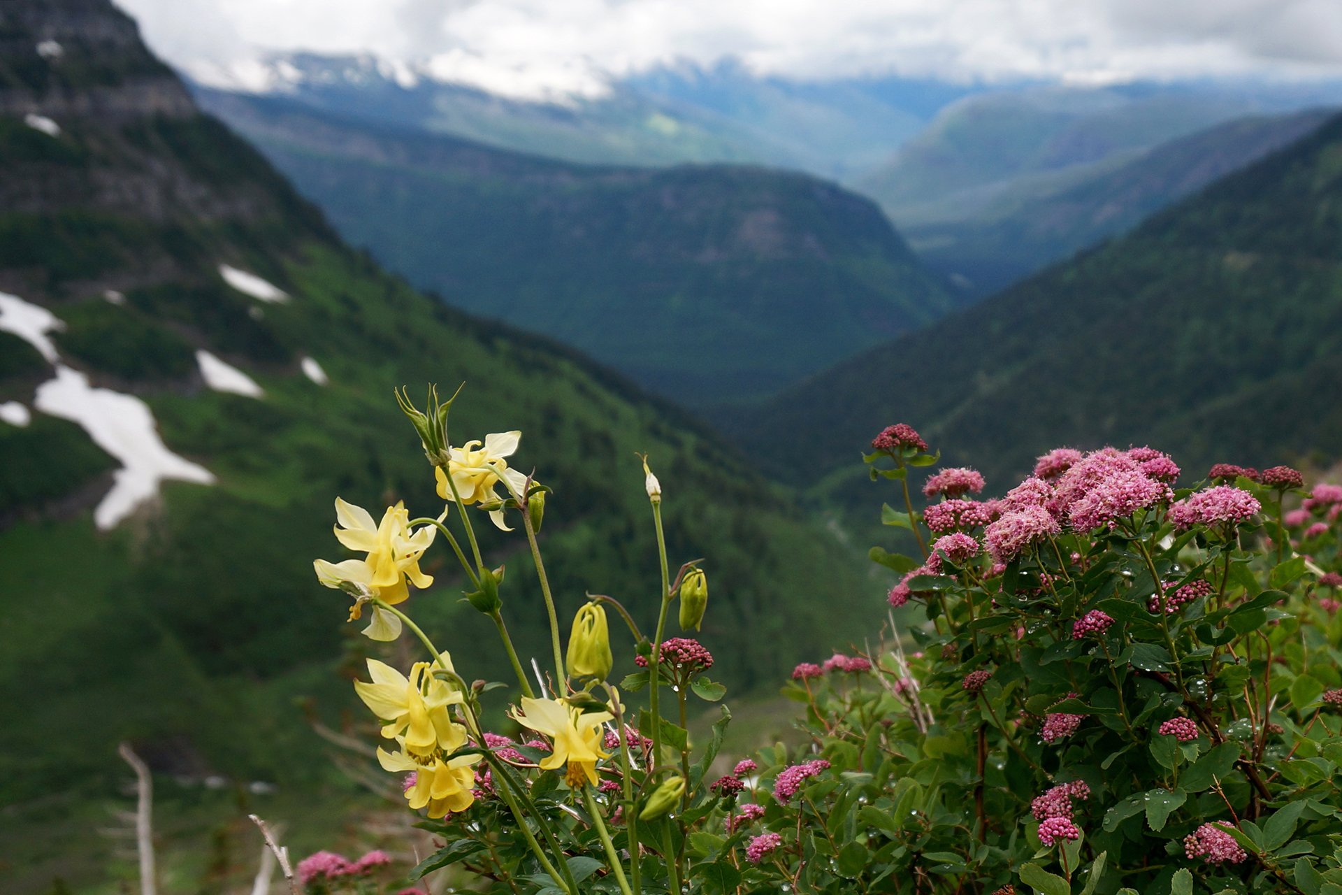
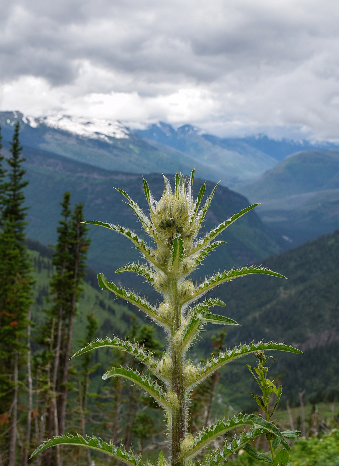
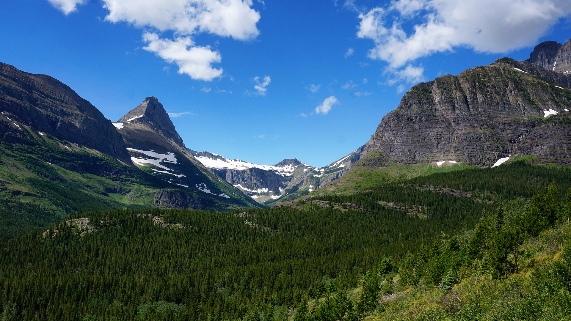
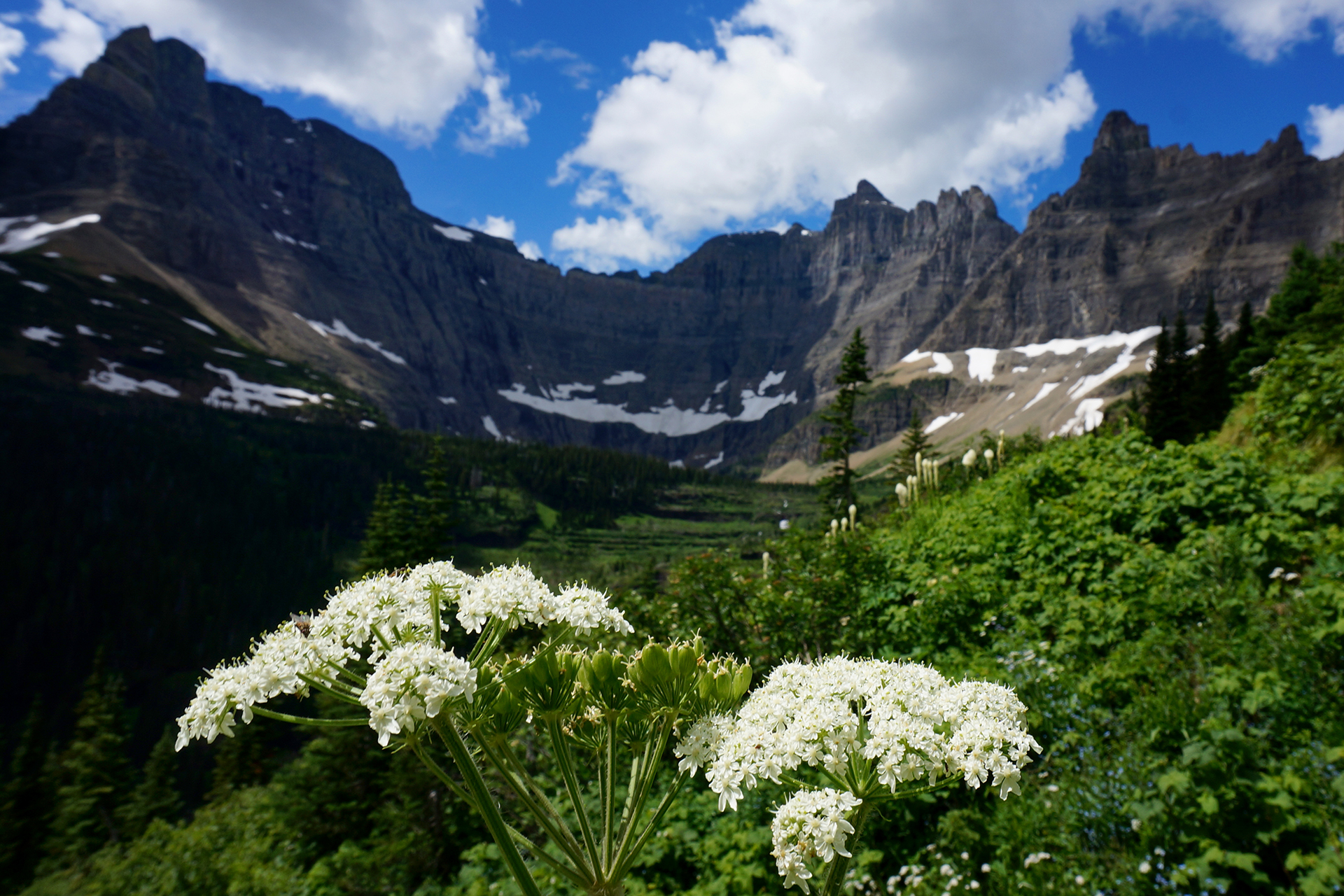
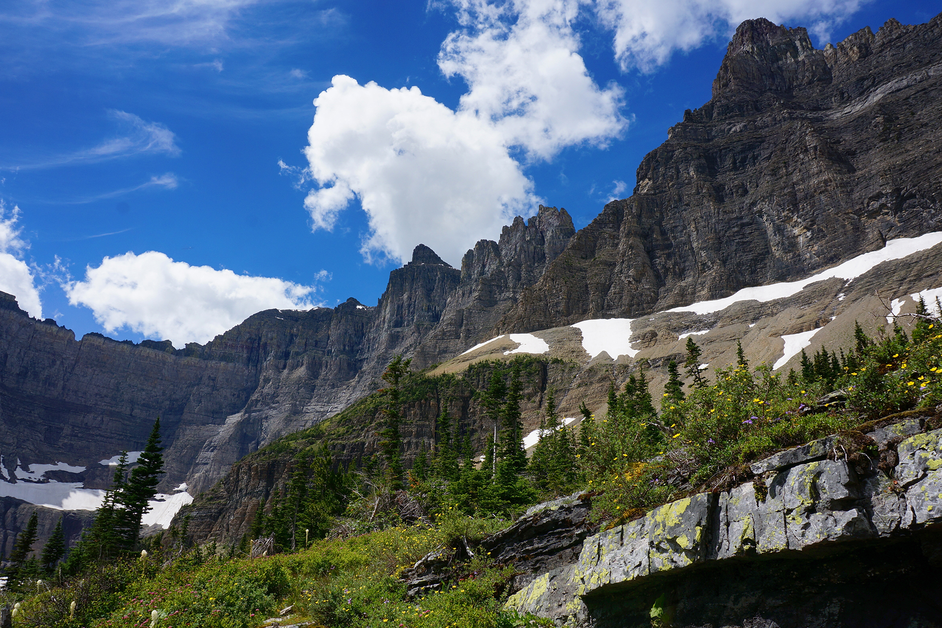
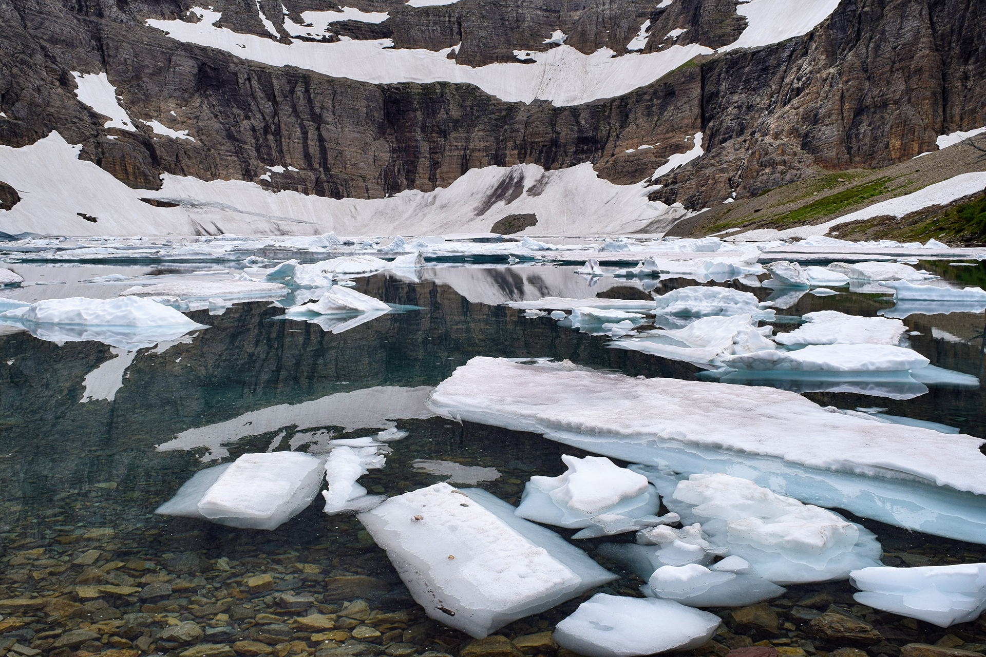
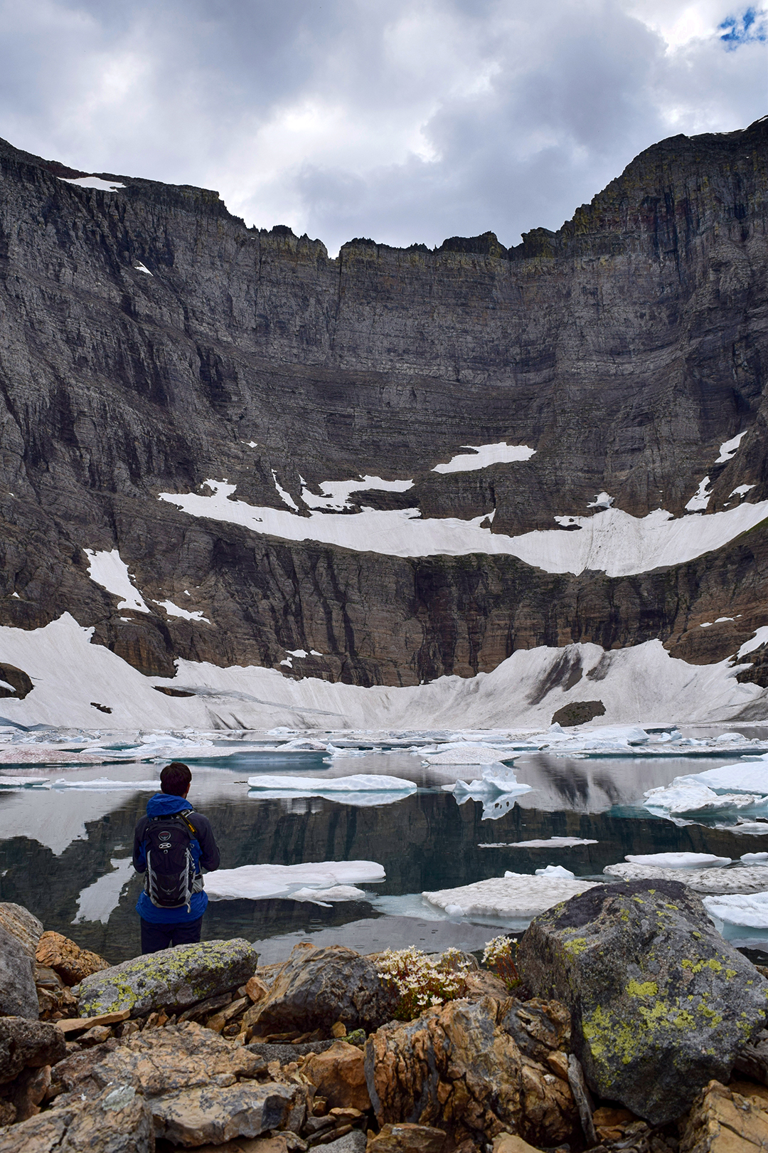
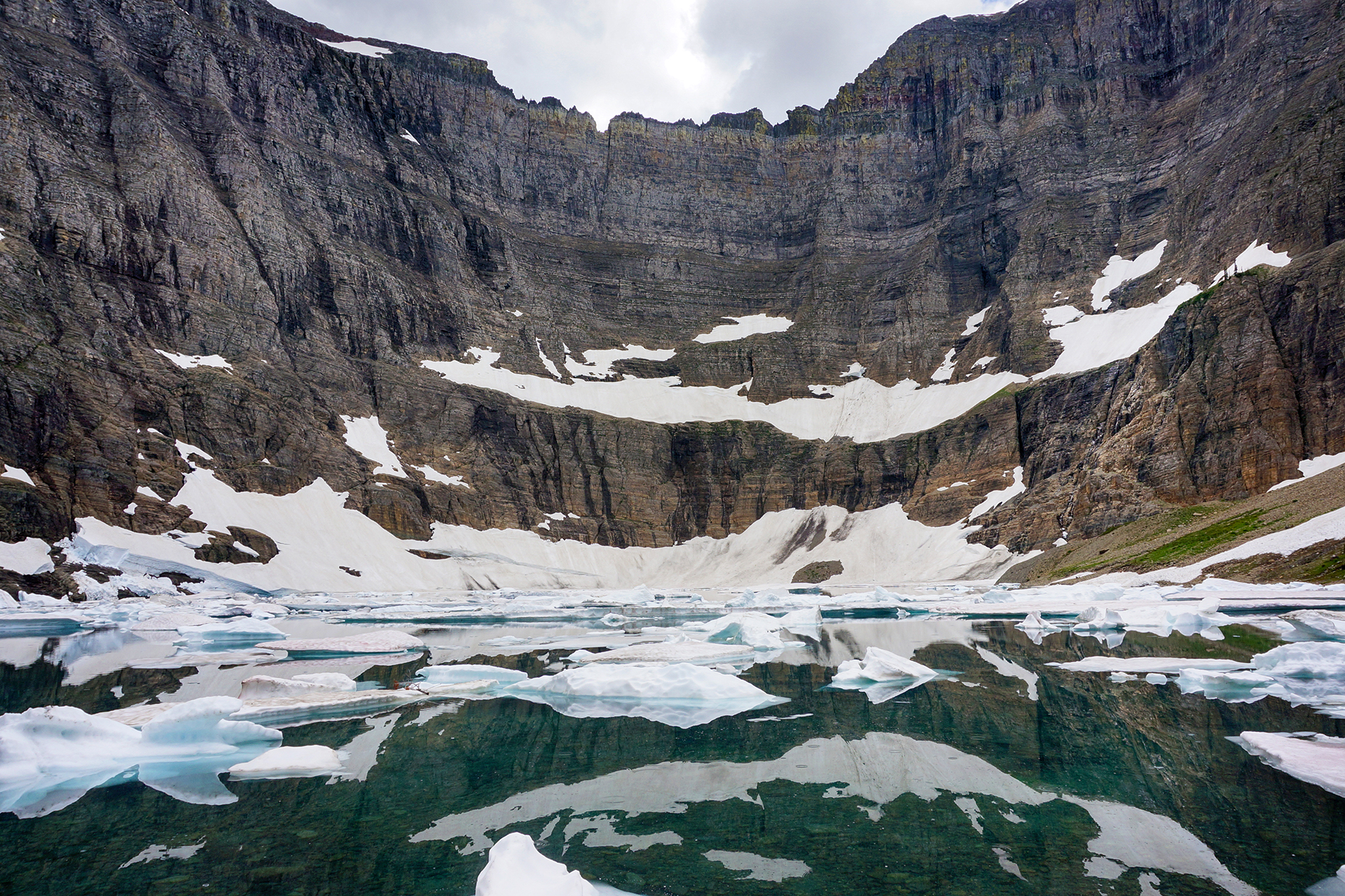
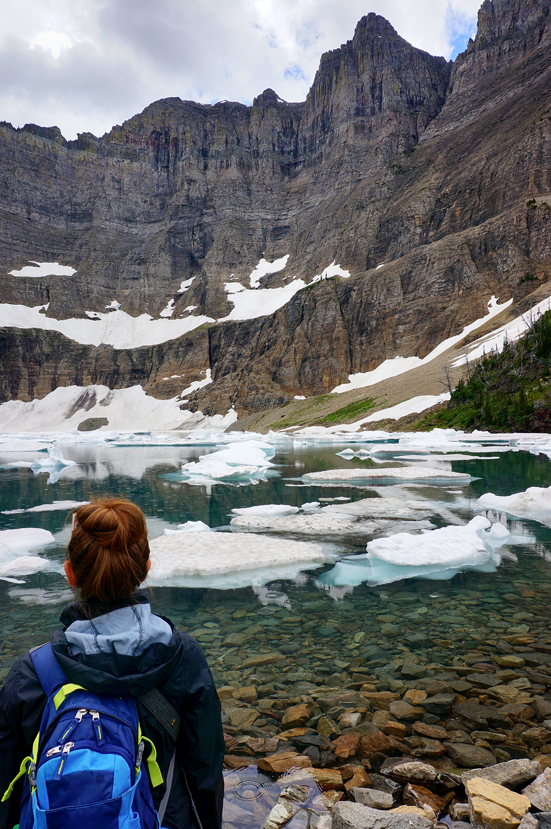
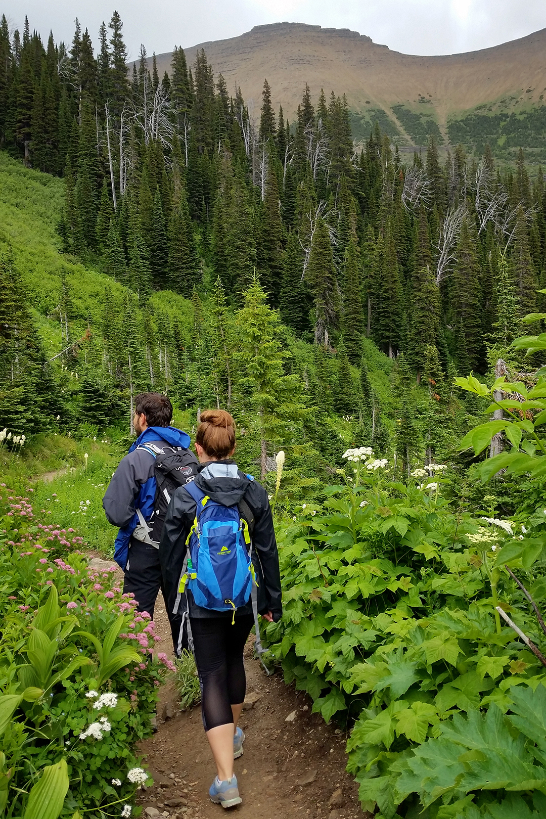
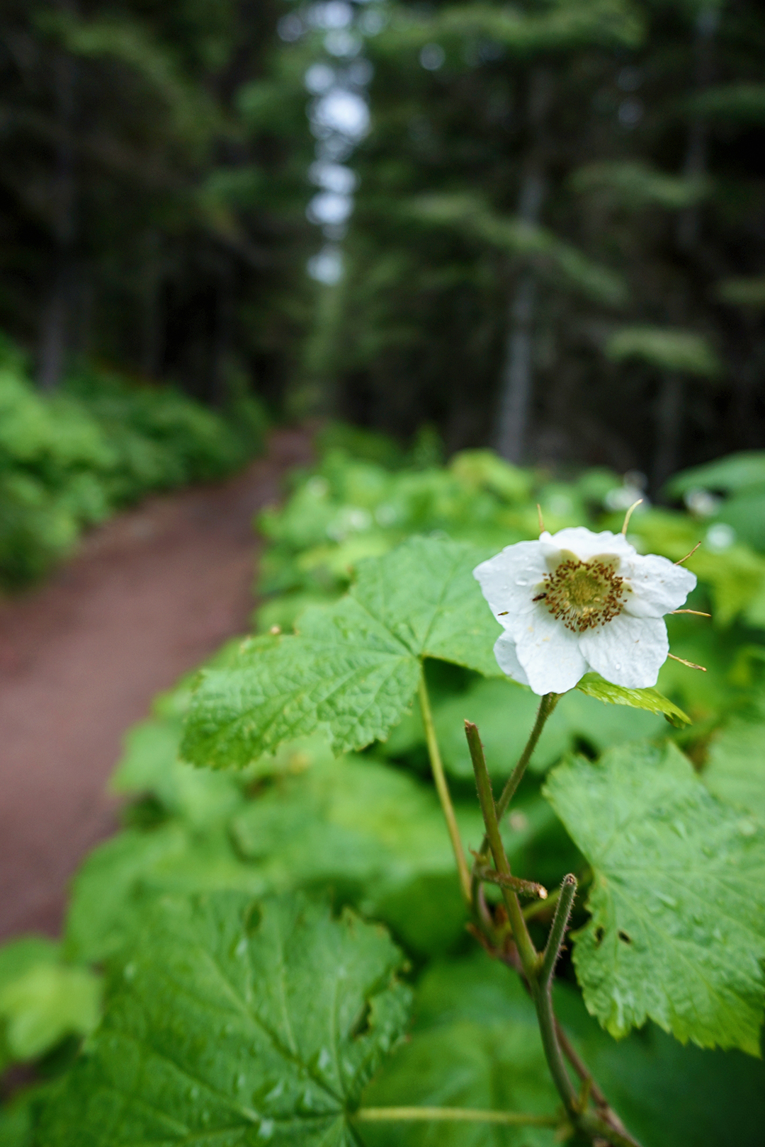
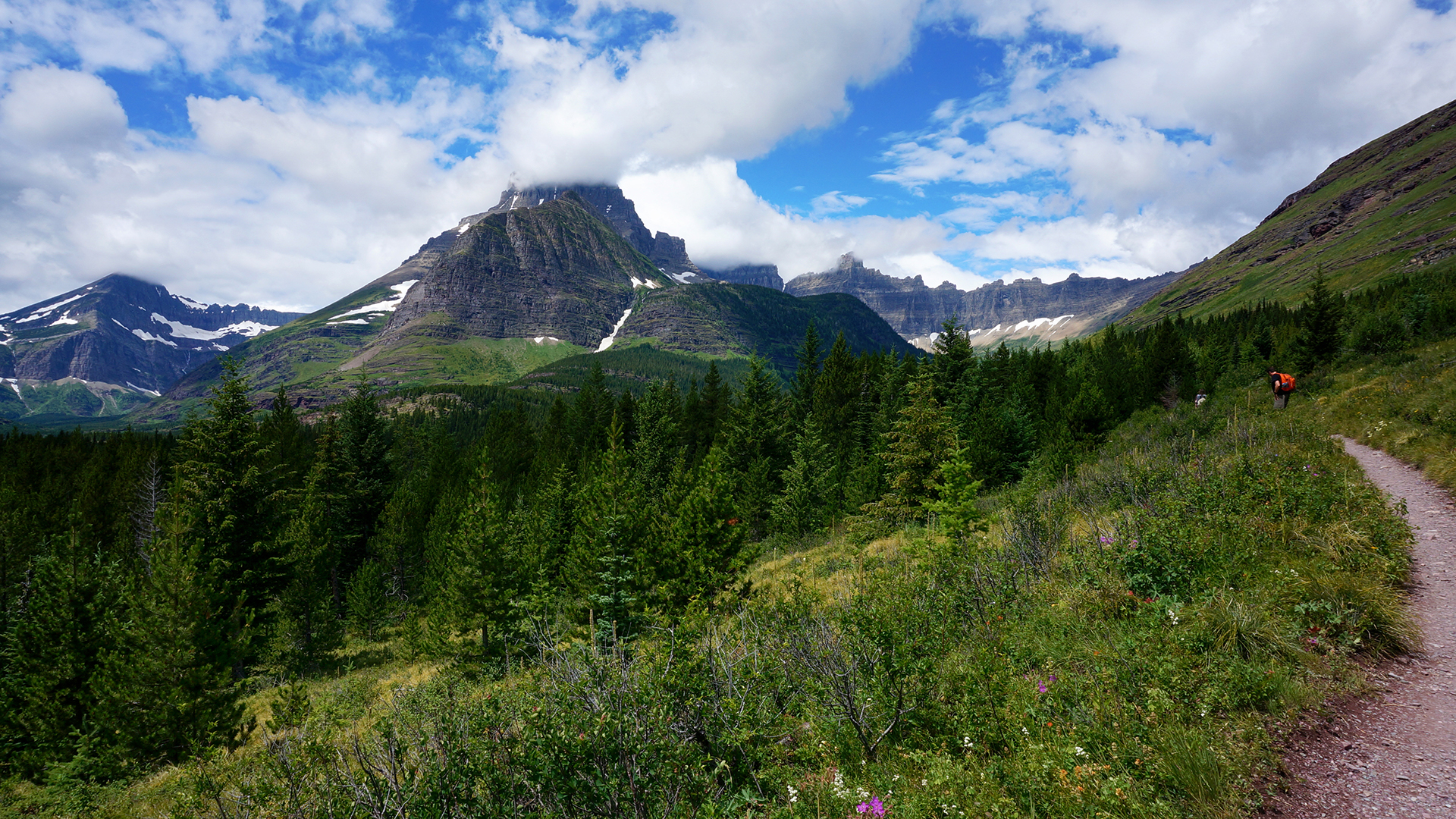
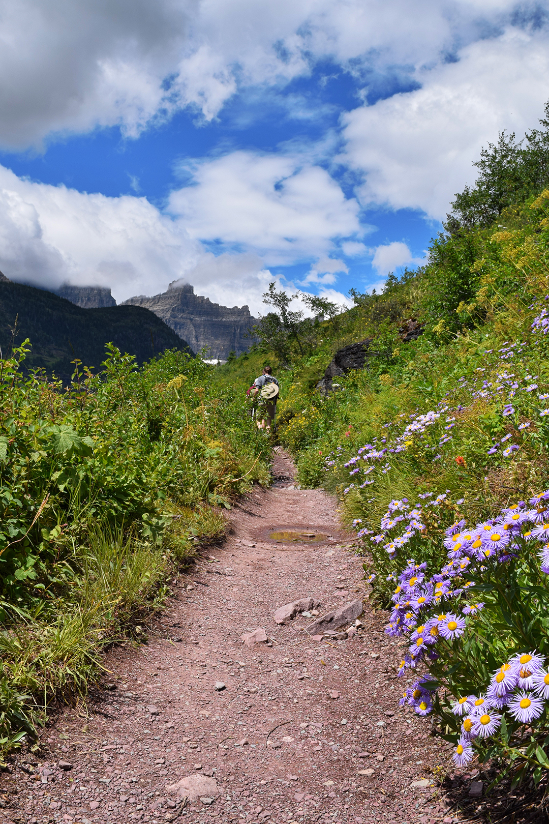
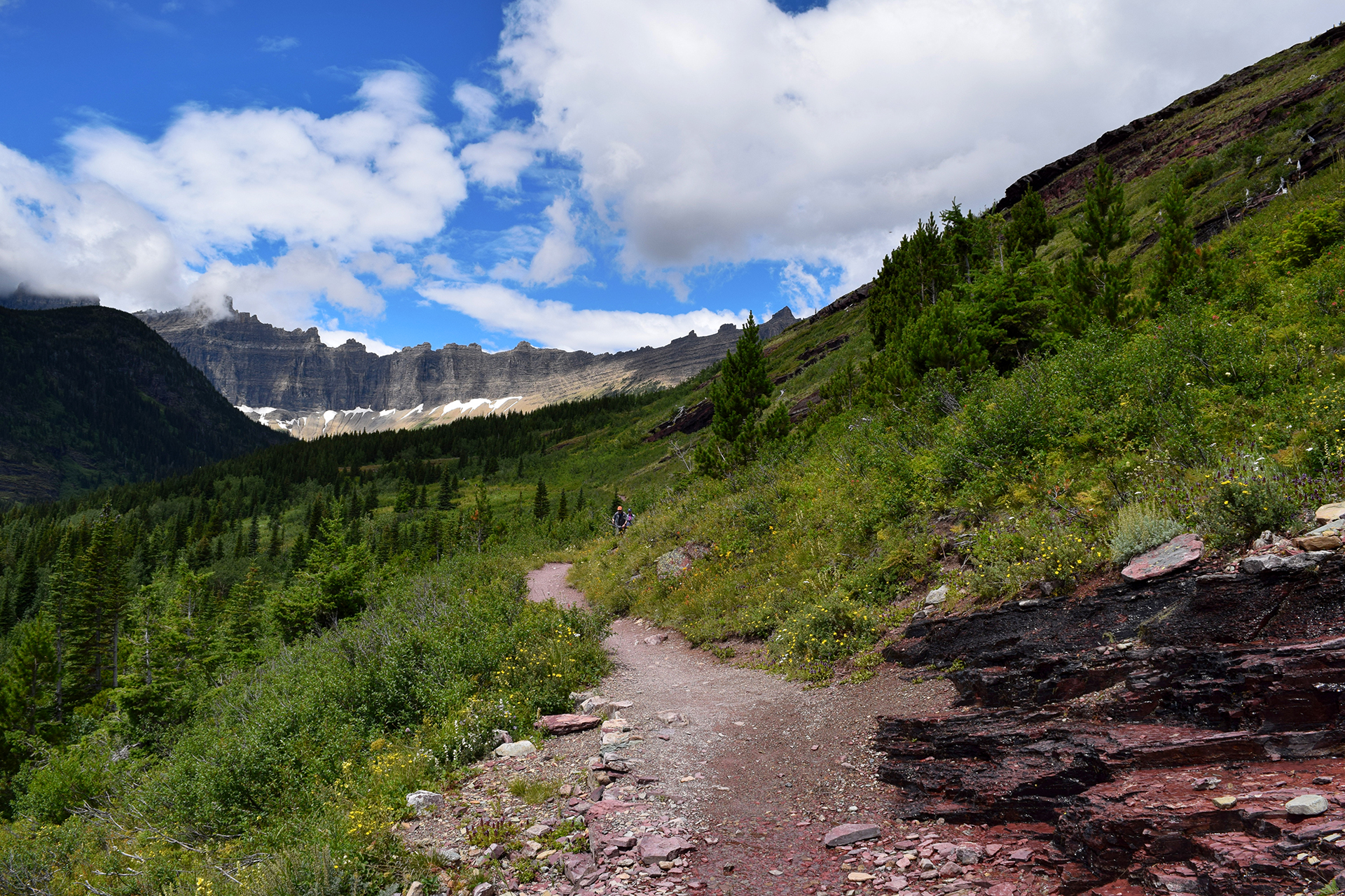
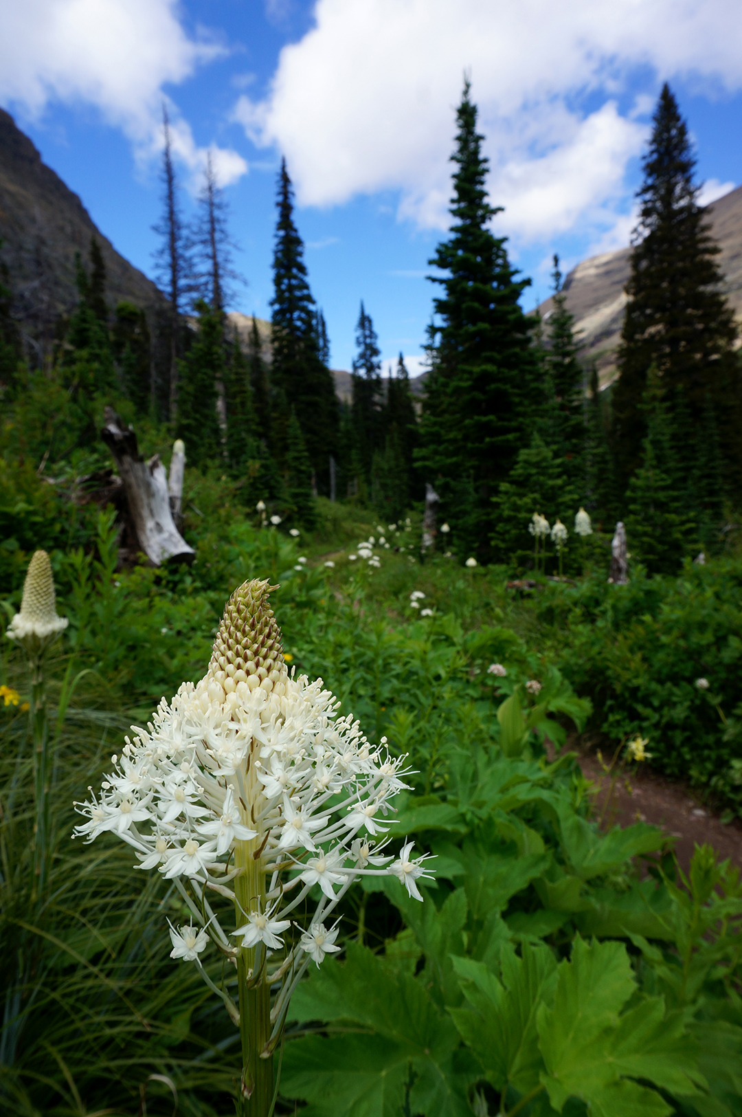
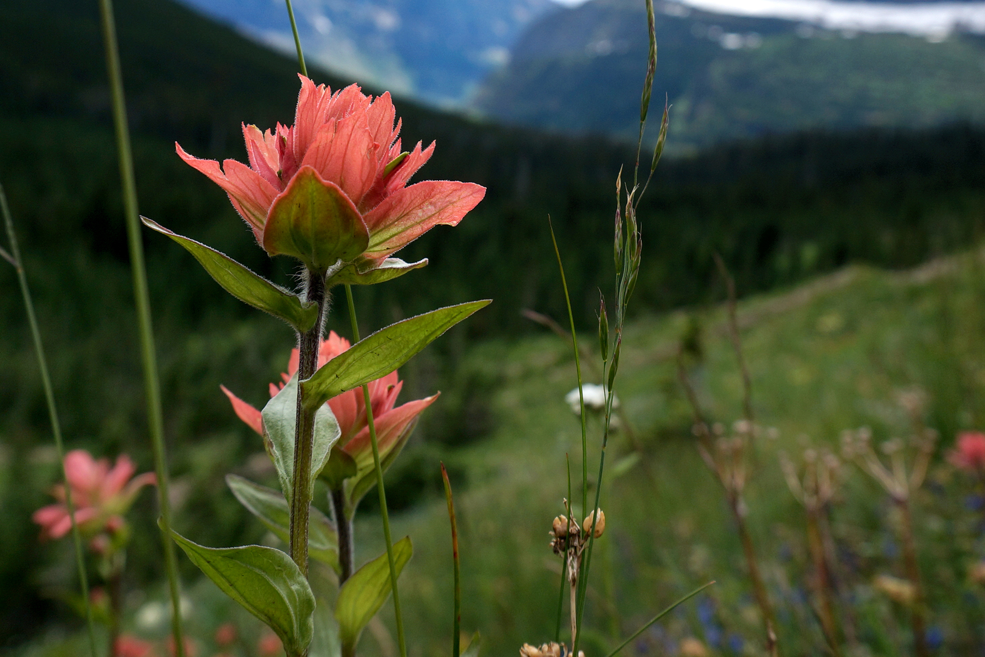
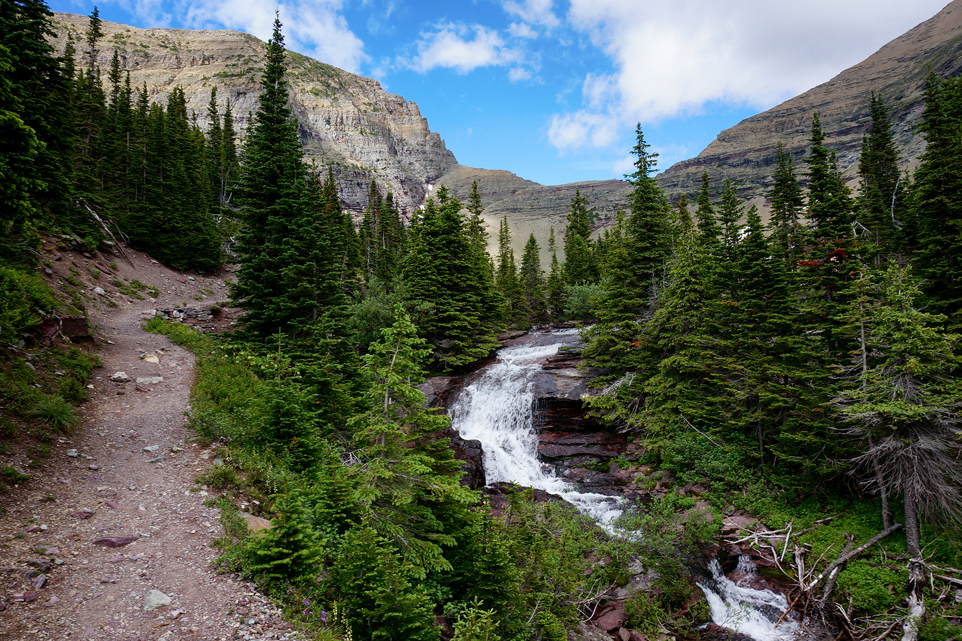
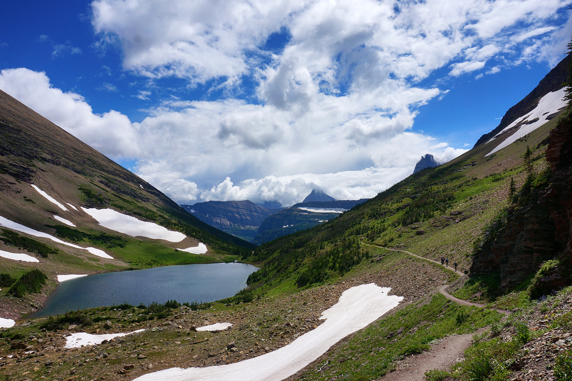
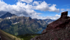
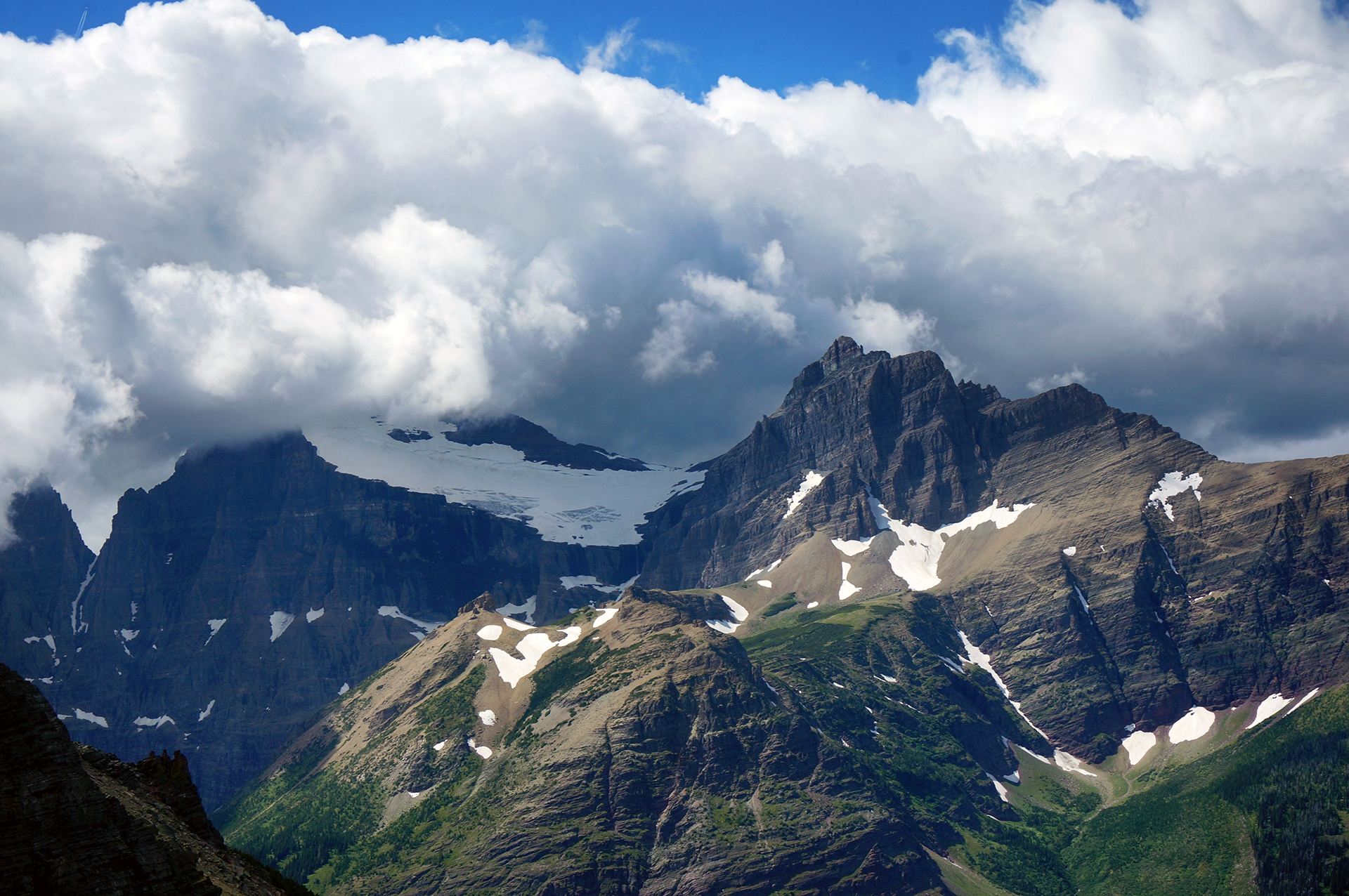
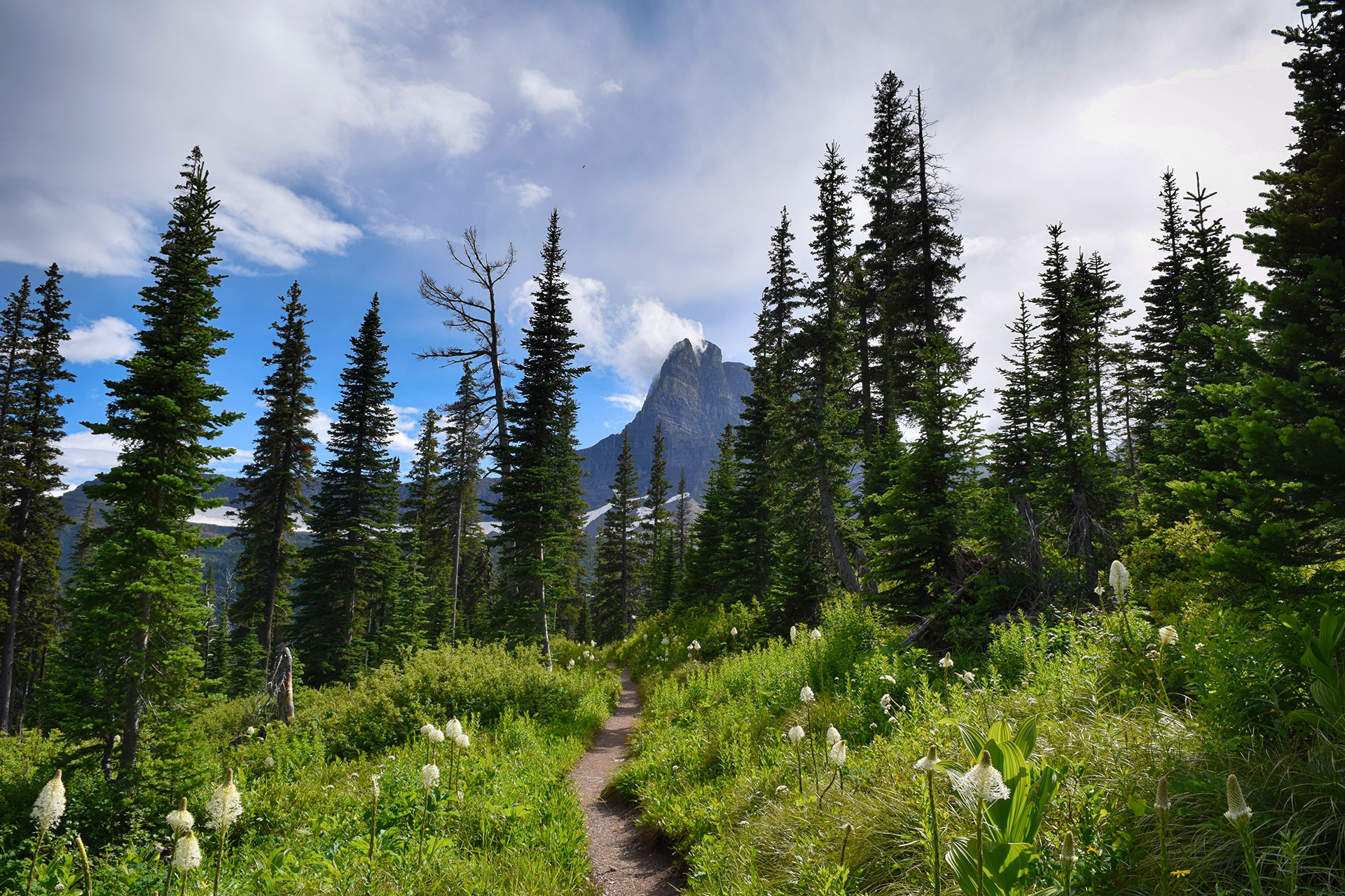
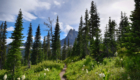
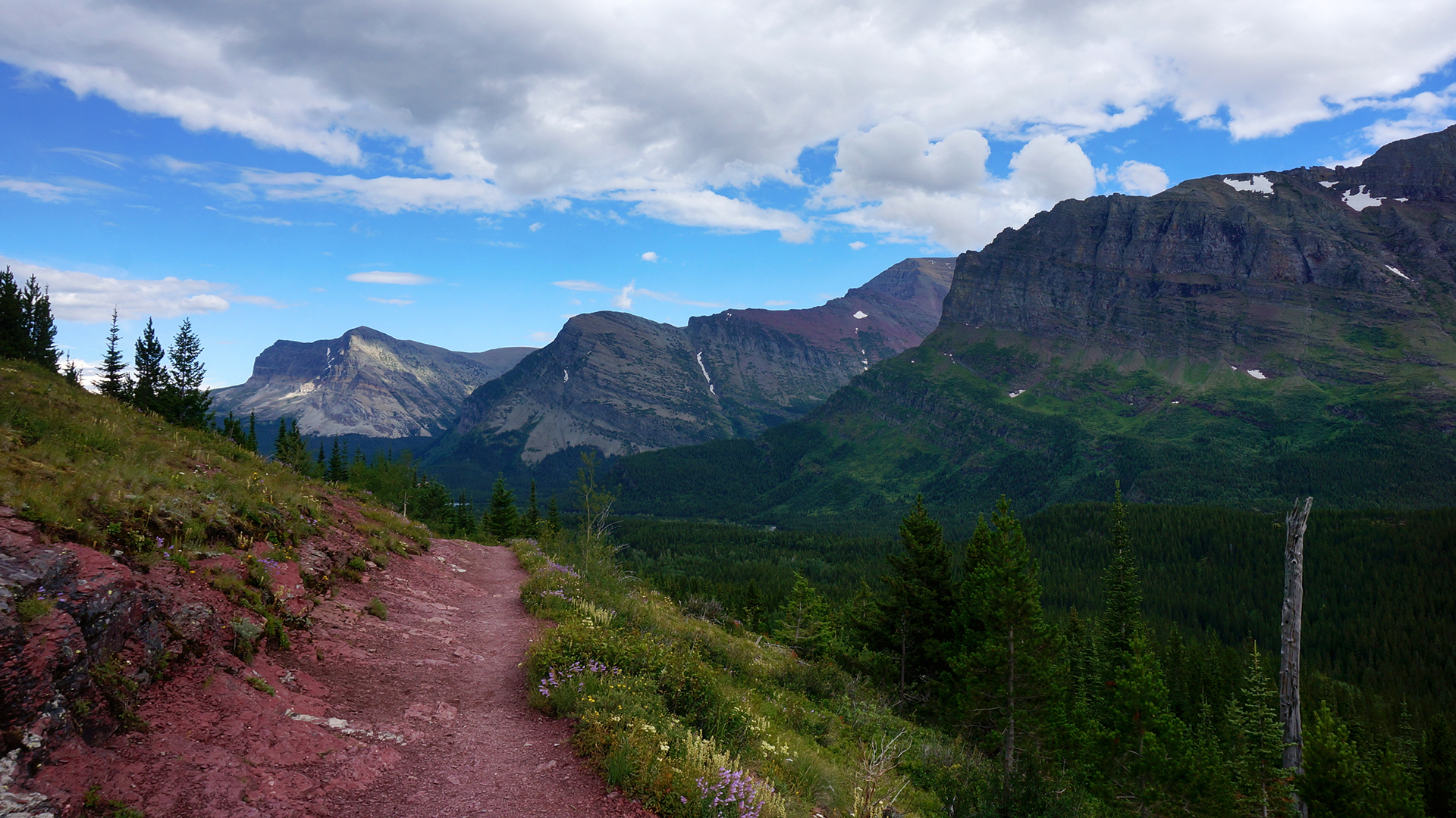
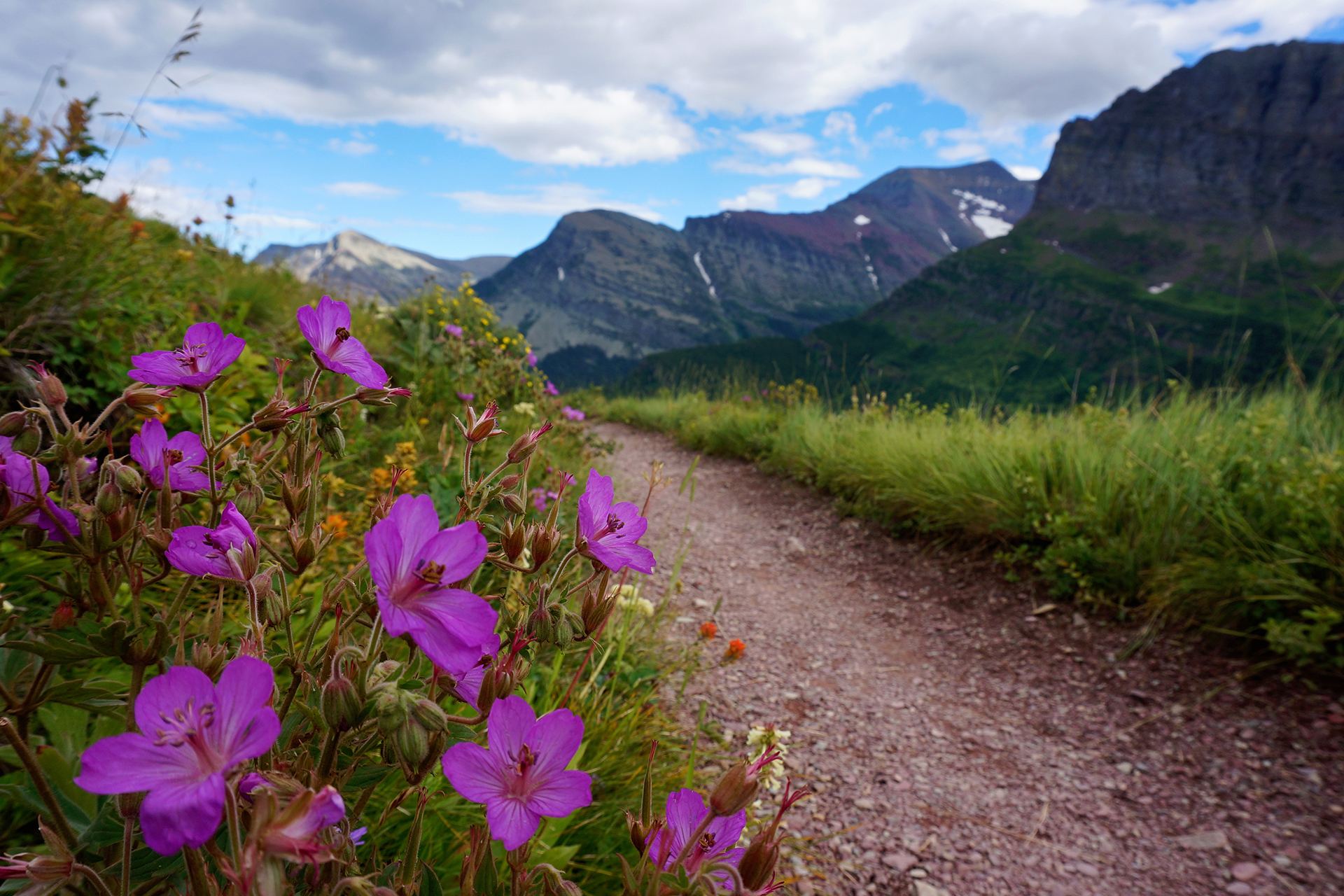
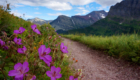
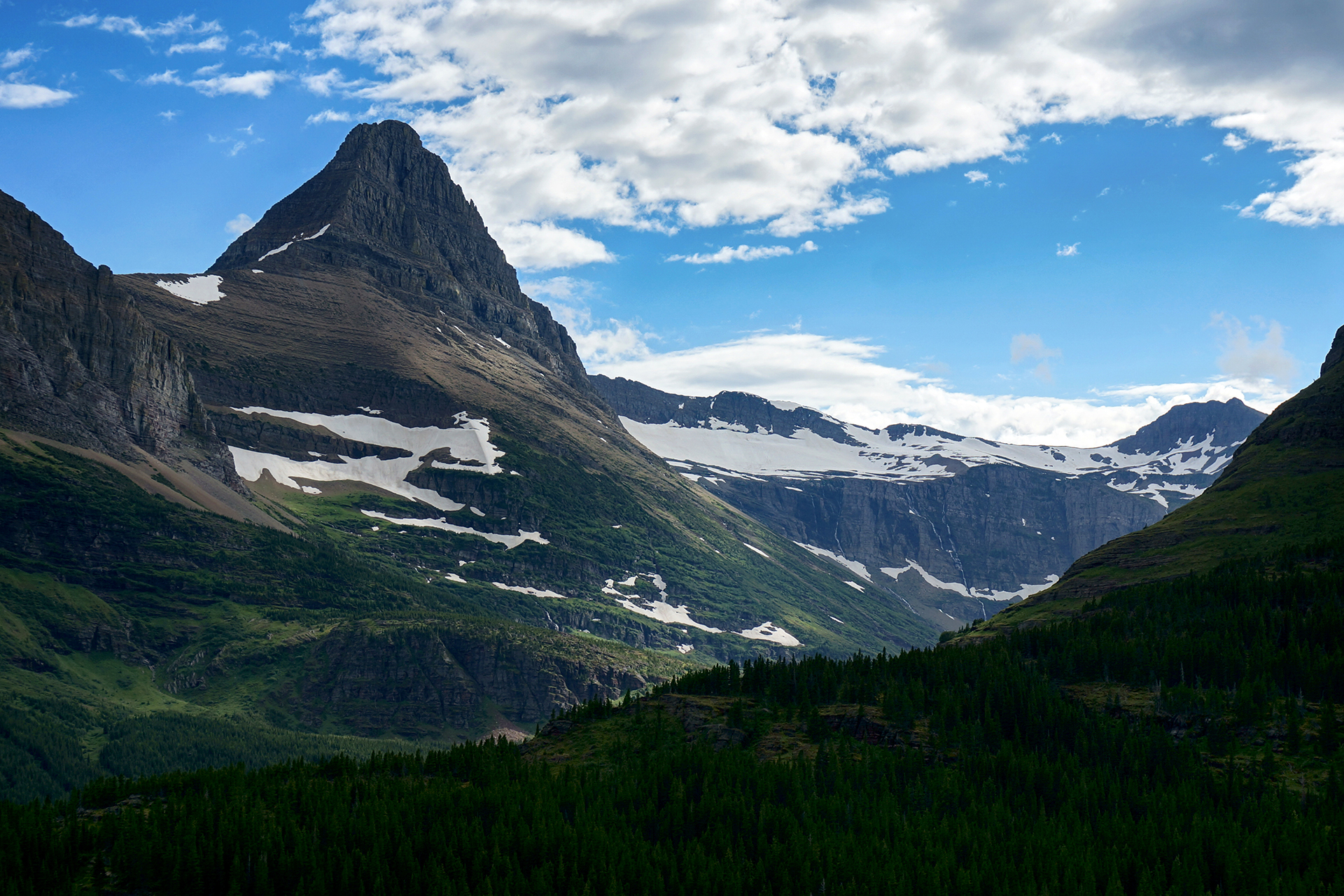
Undeterred by culinary atrocities, we struck out with Kate on a hike to Iceberg Lake. The trail cuts through a beautiful alpine meadow teeming with wildflowers, set against a backdrop so magnificent we can’t possibly do it justice with words. Just take a look at the pictures.
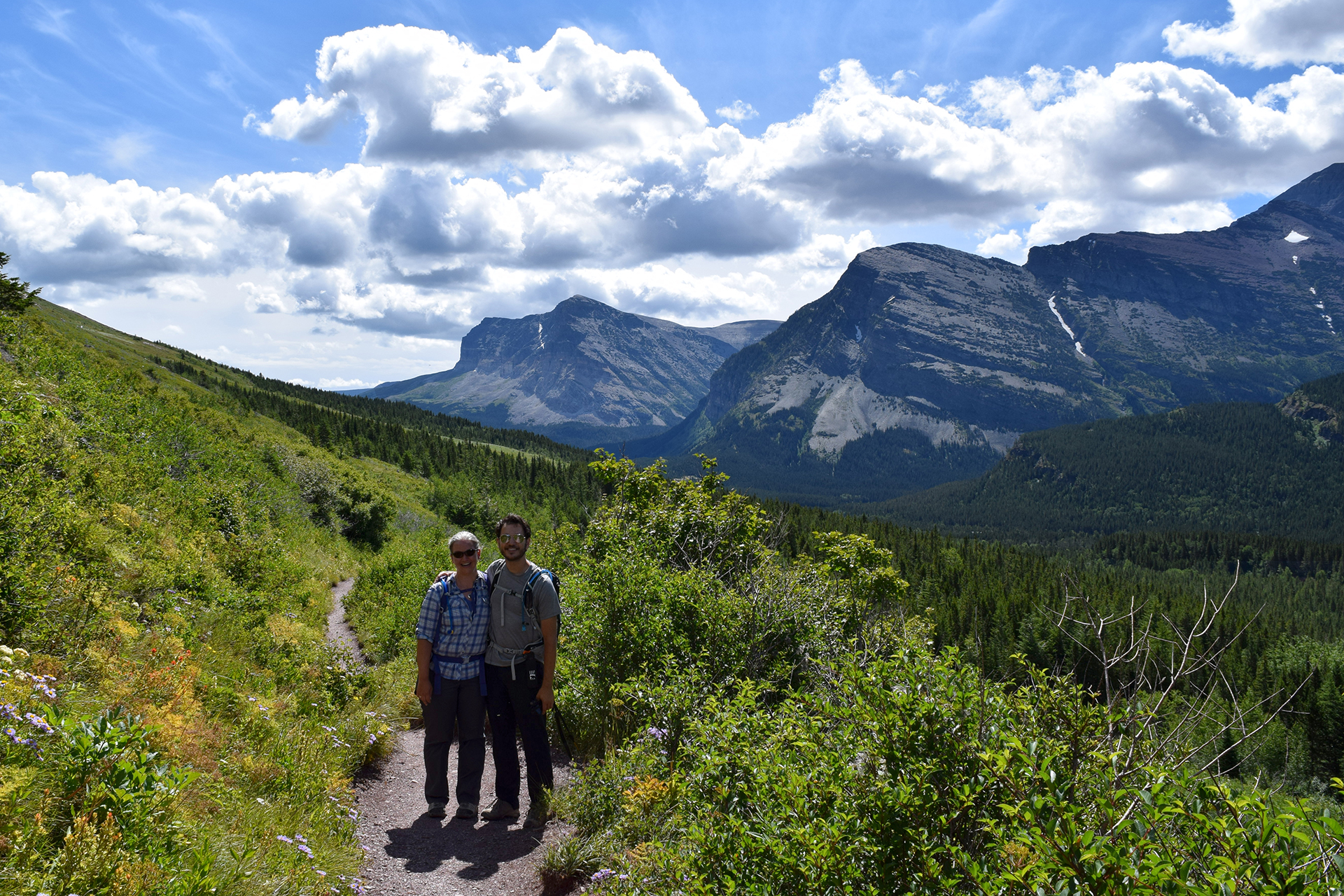
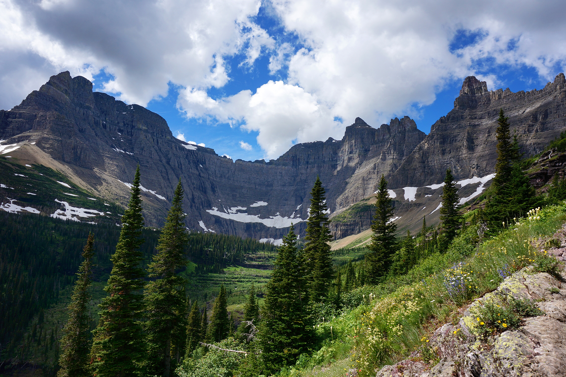
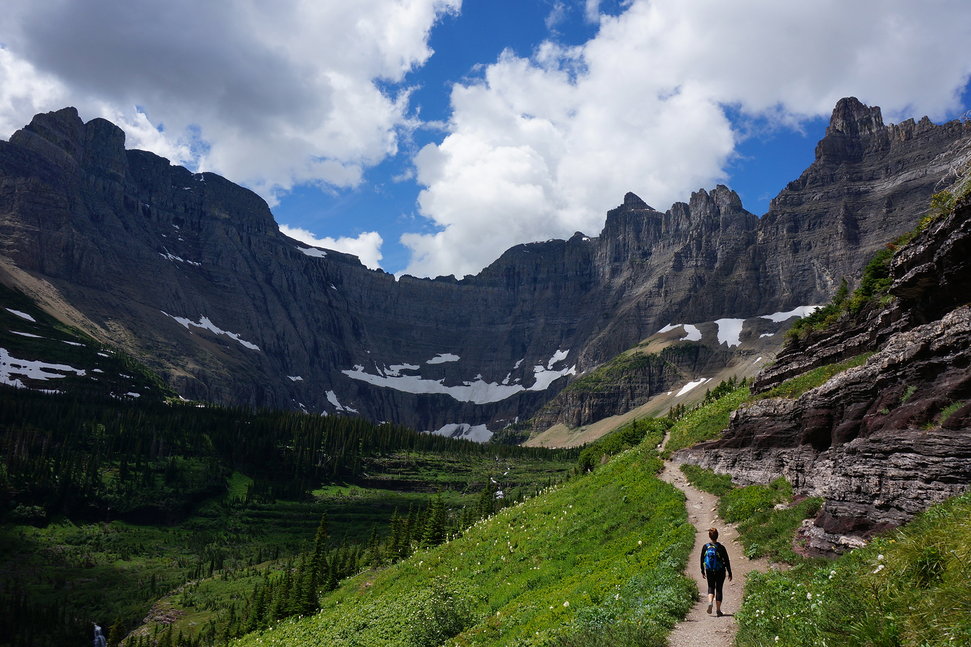
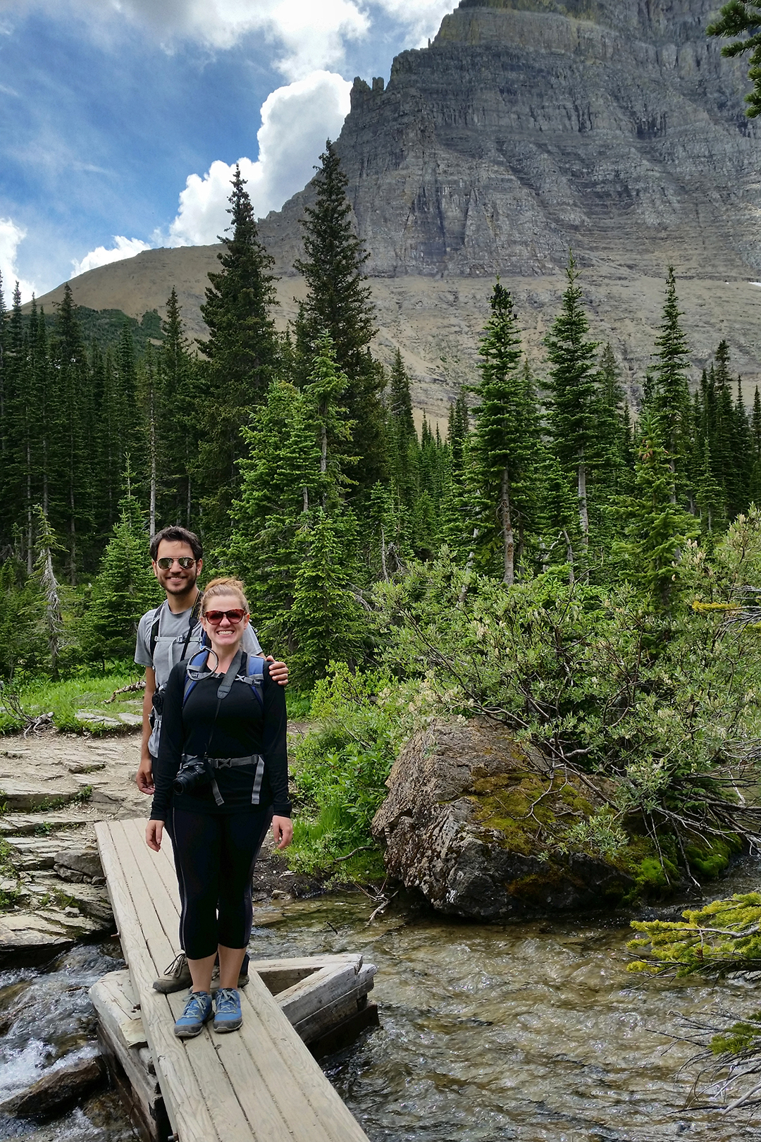
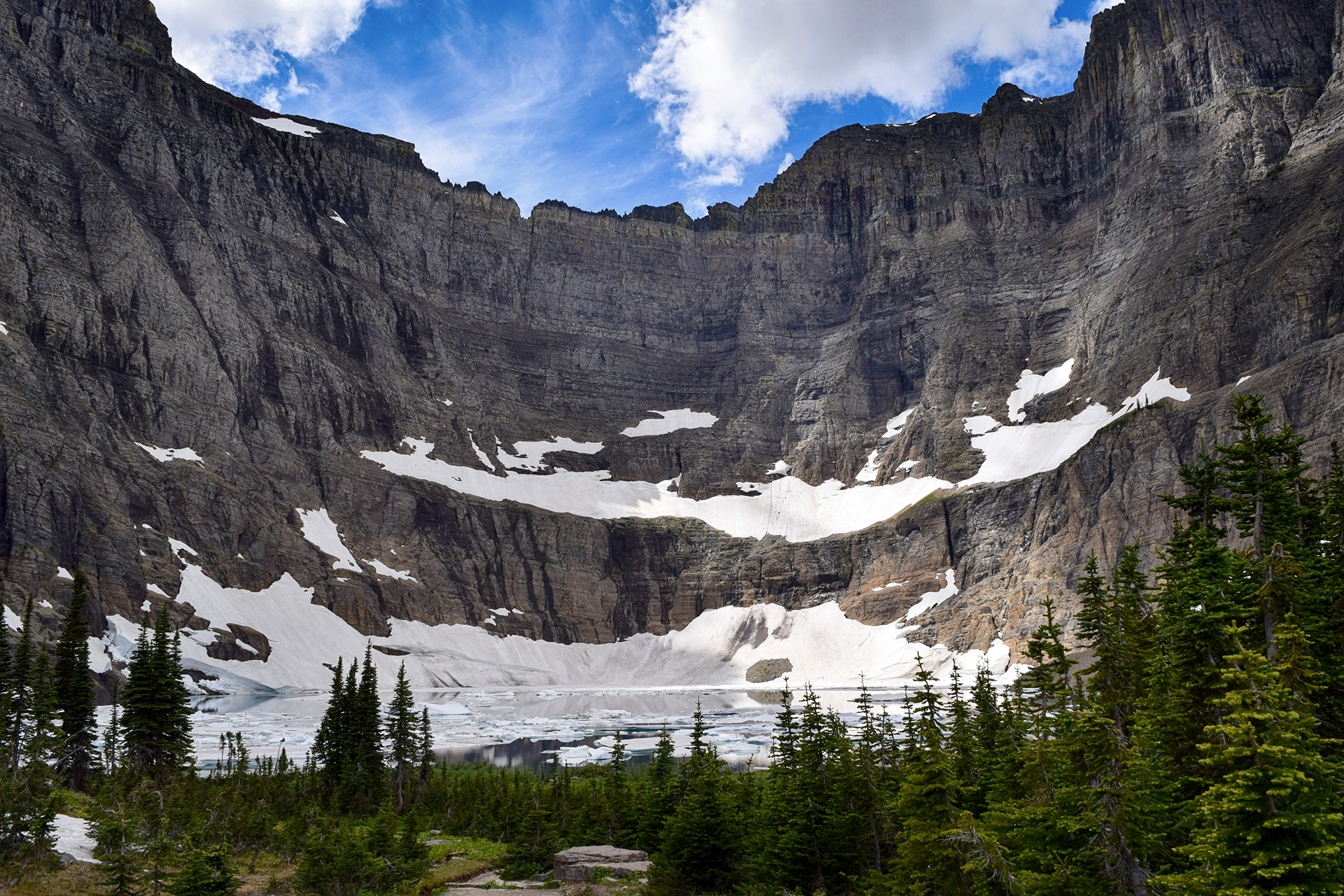
We passed through a dense forest with few people around, which made us slightly nervous because this is grizzly bear country. We certainly didn’t want to surprise any grizzlies, so we clapped and talked loudly as we went. (Some people wore bells for this purpose, but several different rangers later confided in us that these are worthless.)
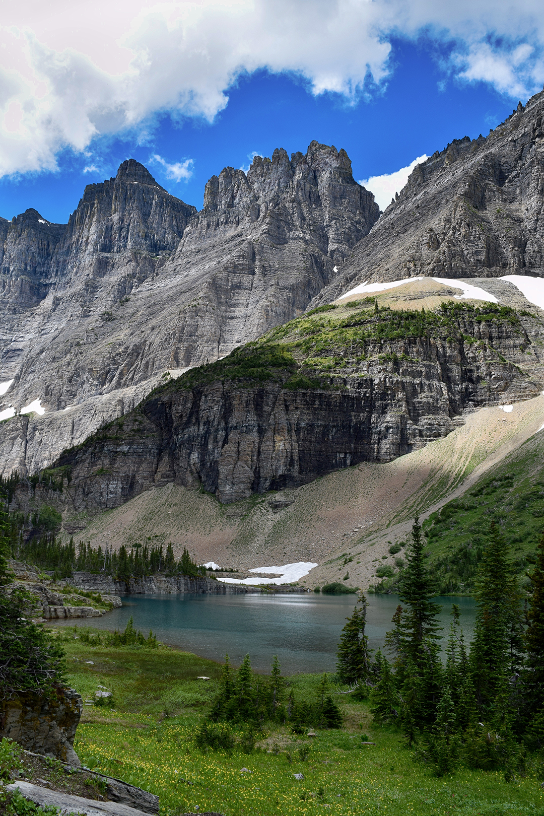
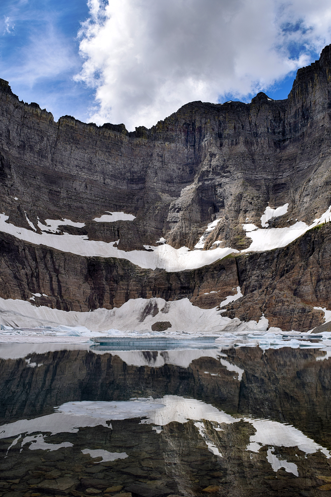
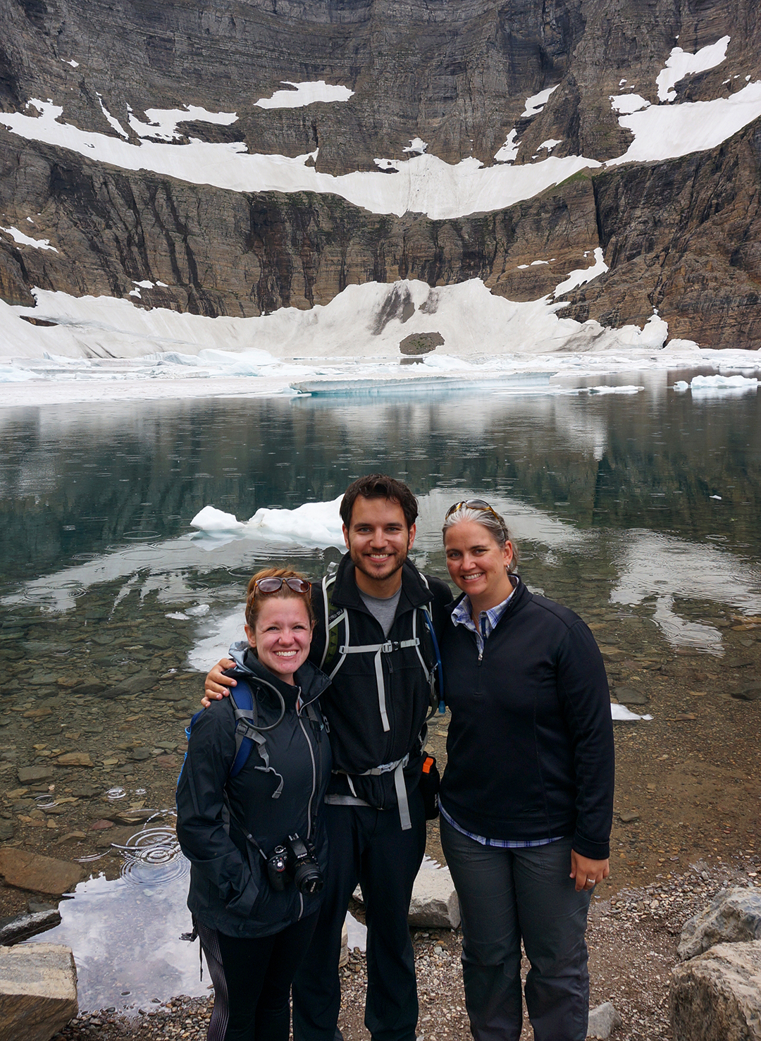
No bears were encountered – maybe they didn’t like our singing – and we soon reached the lake, surrounded on three sides by sheer mountain cliffs. It was July, but icebergs were floating in the water.

The waters here were crystal-clear, and very cold. A few people were taking a dip anyway, but we decided that discretion is the better part of valor and politely declined that option. We had a lovely picnic by the lake, made a photosphere, and headed back.
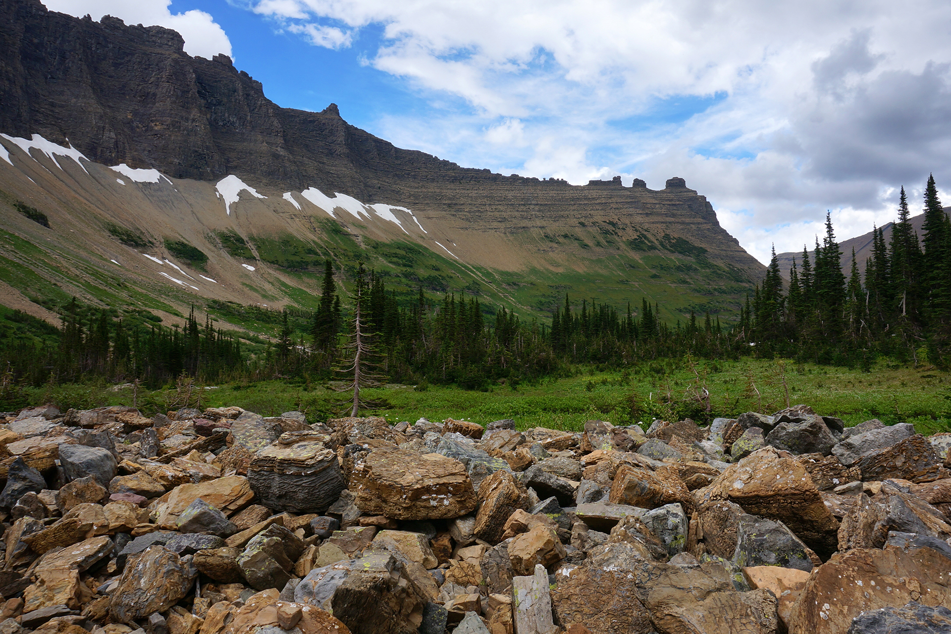
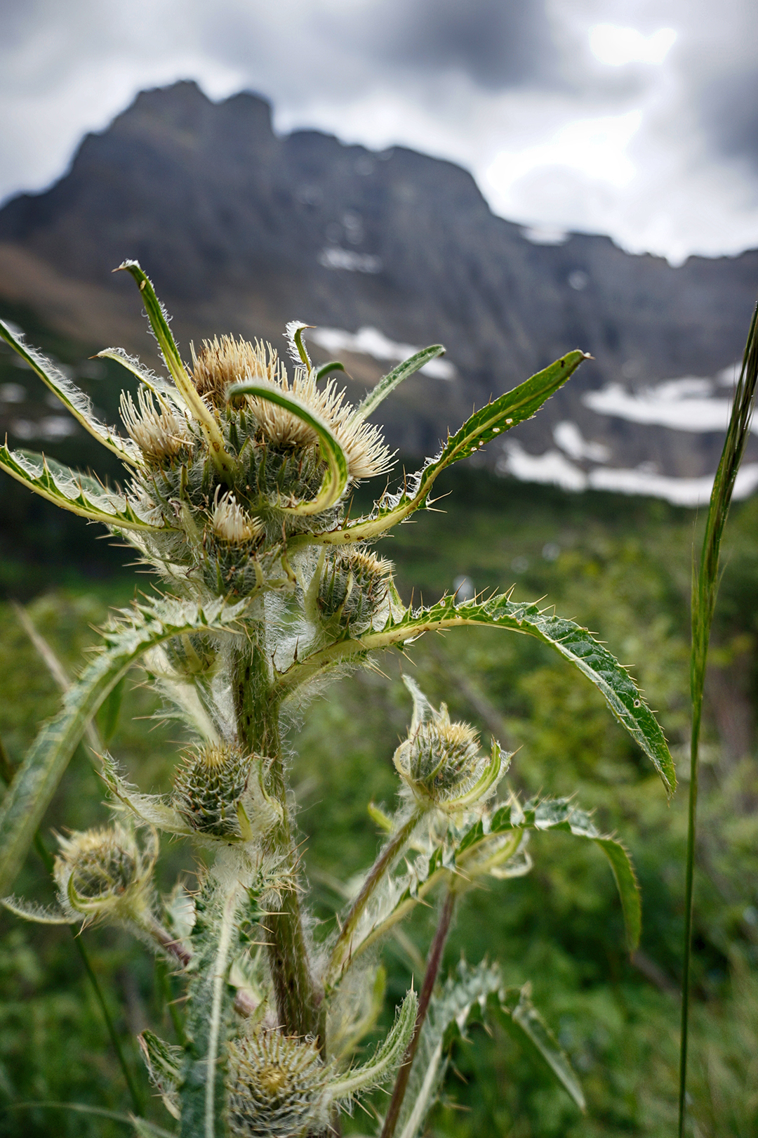
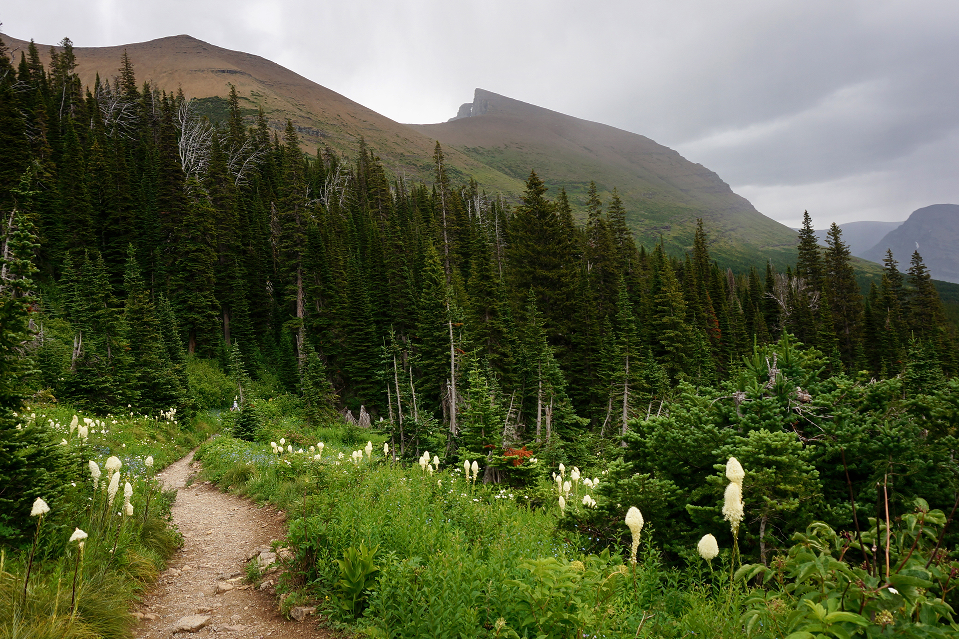
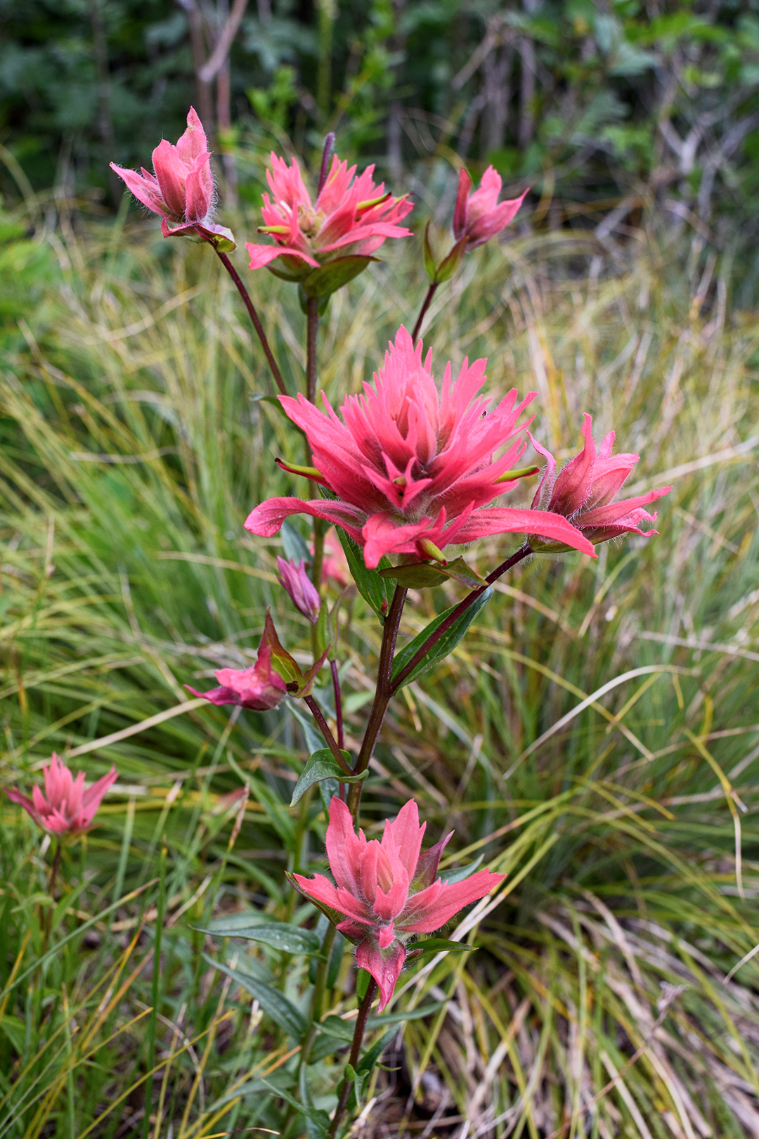
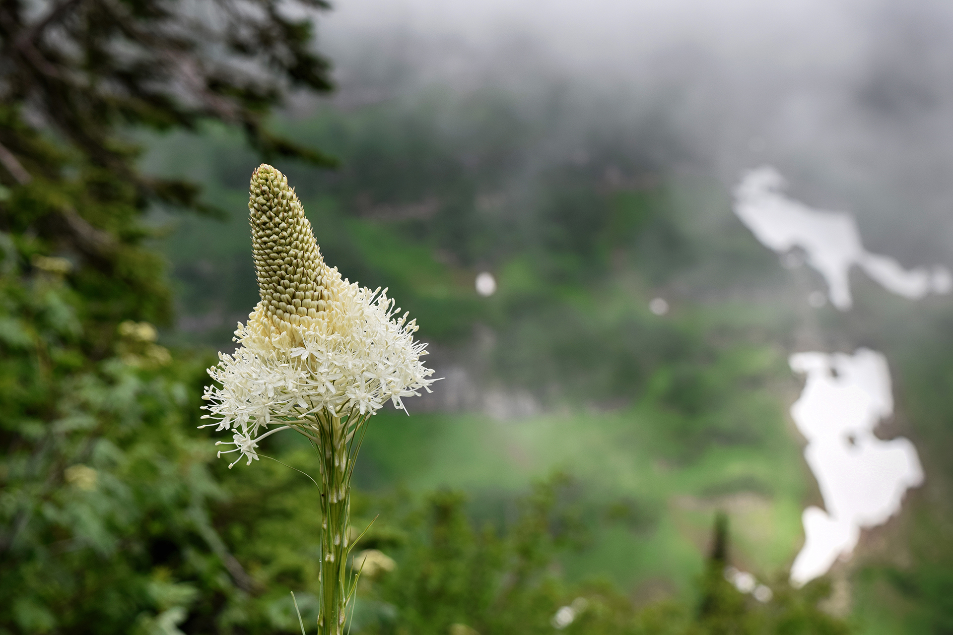
There was a lot of beargrass here – tall, white, fuzzy flowers, like huge cottonballs on a stick. They were allegedly named beargrass by Lewis & Clark, who saw some grizzlies playing in a field of beargrass and assumed the bears must love them.


We have no idea if that’s generally true. Buuuuuut… we did come close to a grizzly bear on the way back!

It was foraging just off the trail, nearly invisible becuase it was downslope and around the bend from where we were walking. Jake caught a glimpse of someone down the path gesturing wildly, and somehow correctly interpreted it as, “bear nearby – proceed with caution!” He stretched out his arm for Heather and Kate to stop.
Heather assumed someone was just taking a picture, and tried her best to barrel through Jake’s arm (and into the waiting paws of the grizzly up ahead).
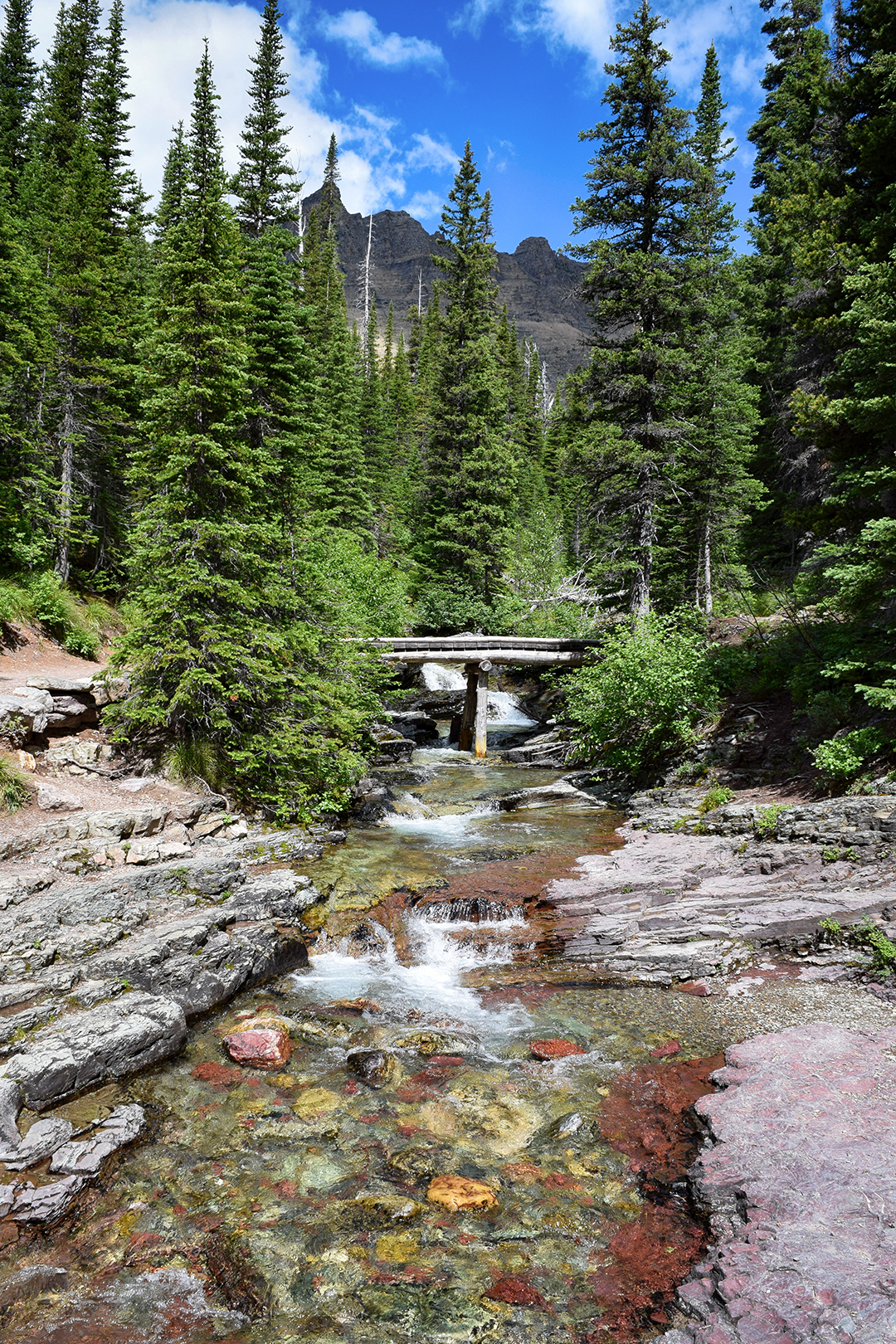
Luckily she stopped in time, and no mishaps were had. We waited a bit, then edged around the trail, bear spray in hand. We were relieved to see the bear had dropped lower down the slope, and we quickly scooted past. It had probably been just a few feet off the trail you can see below.

We reported the bear sighting, like good junior rangers. And we took the opportunity to visit one of Glacier’s many beautiful chalets, set in a preposterously beautiful location right by an alpine lake. We have no idea what it costs, but wow. This would be a rather nice place to stay.

Light At The End of the Tunnel
After Iceberg Lake, Kate left to head back to Colorado, and we decided to stay one more day for one more hike. Many camping spaces at Glacier are first-come, first-served, so at 7 a.m., we drove down to the park and snagged one of the prettiest parking spaces you’ll ever see.


The trail we picked is called the Ptarmigan Tunnel, named after the bird (the “p” is silent). The first two miles or so share the trail with the Iceberg Lake hike we had just done, but we didn’t mind – that’s a view we would happily see every day.
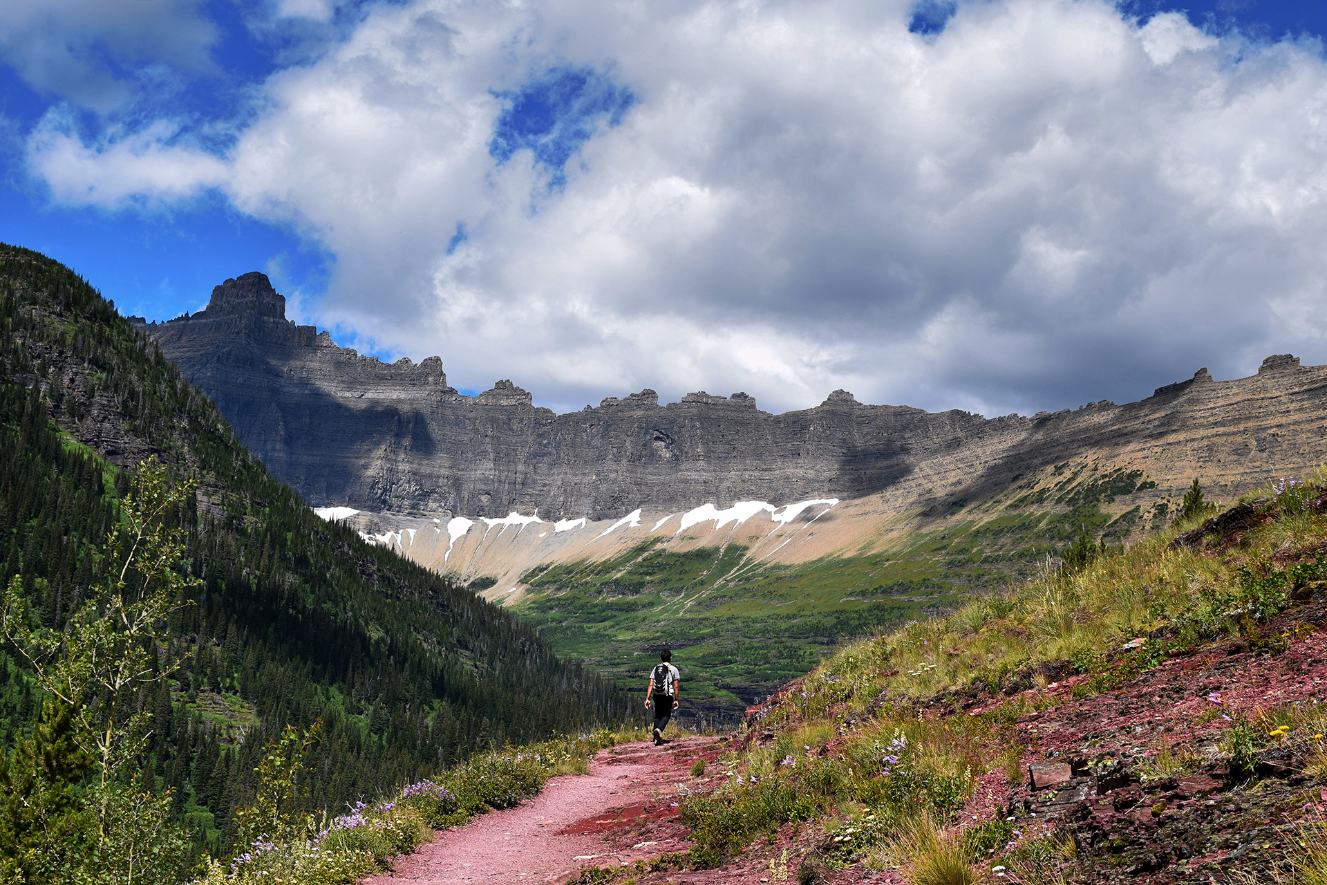
The trail then branched off and became considerably less populated. We trekked steeply uphill through an even denser, more enclosing forest than the day before, making us more than a little nervous. A guidebook we read described this area as “natural grizzly bear habitat,” and we were grateful for our hiking prowess as we pushed hard to get out of the danger zone.
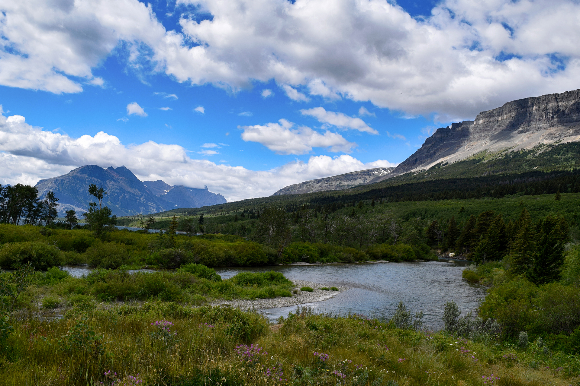
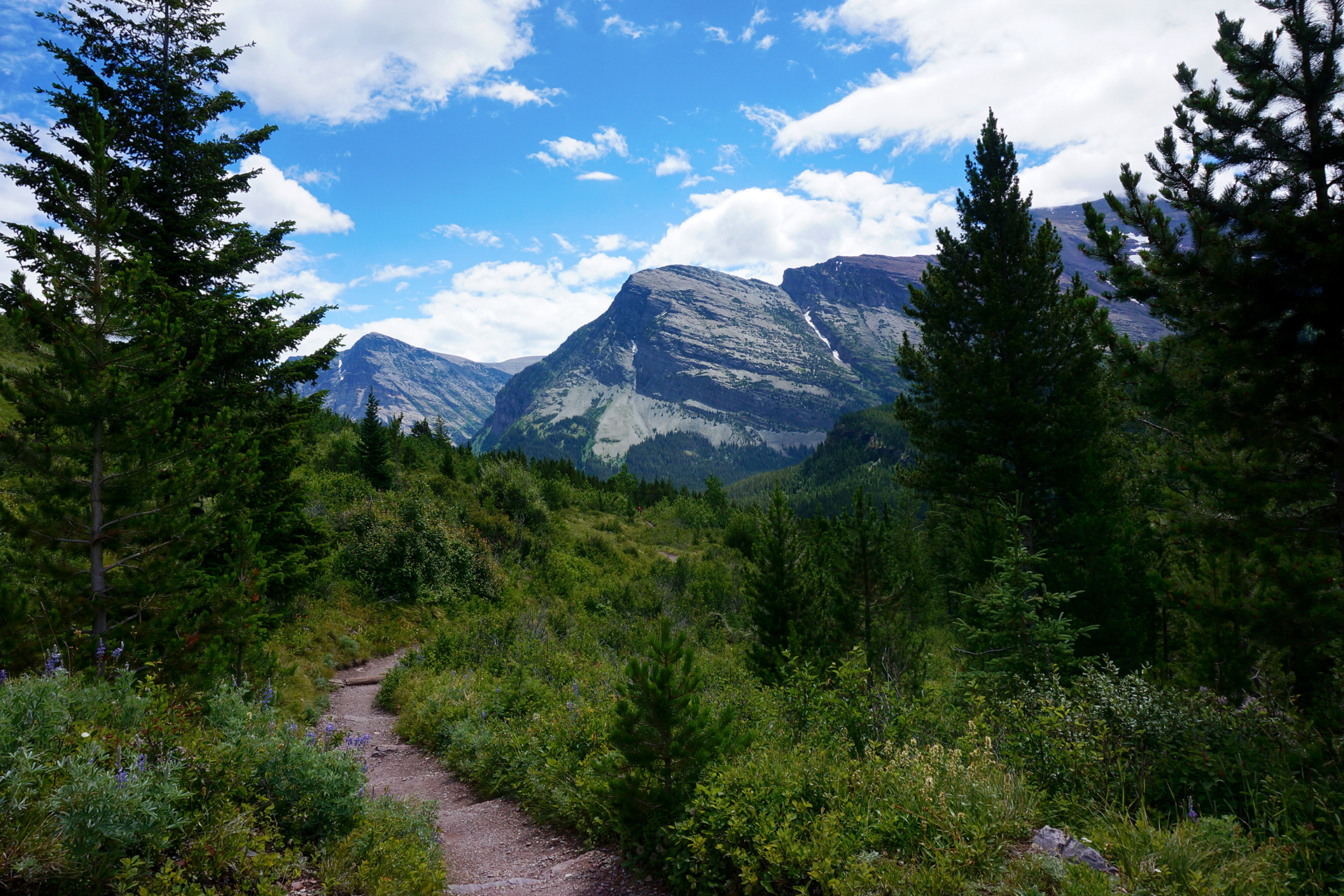
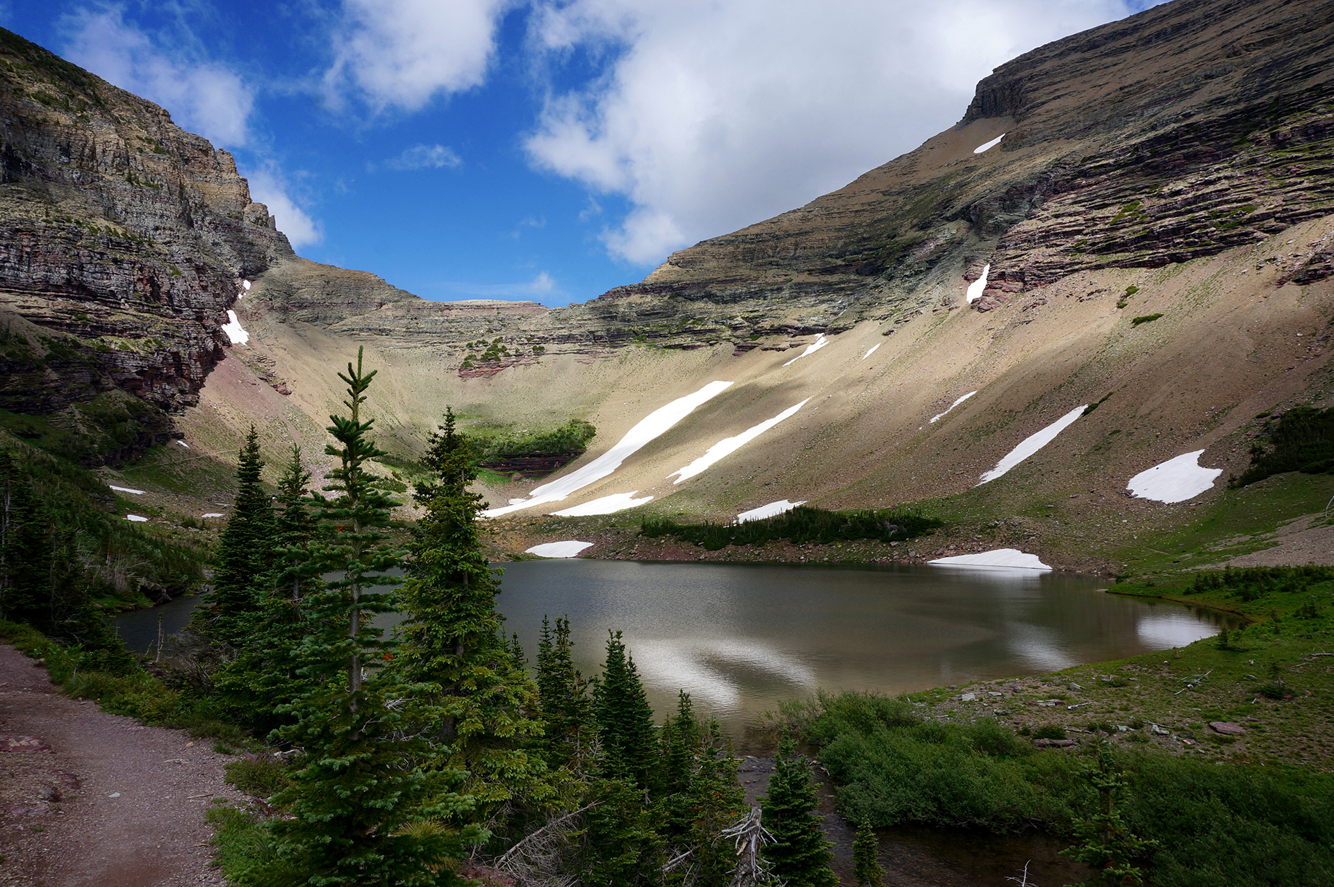
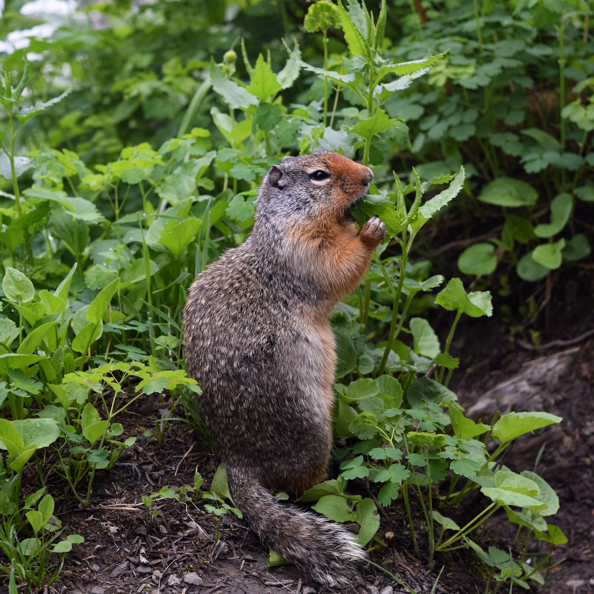
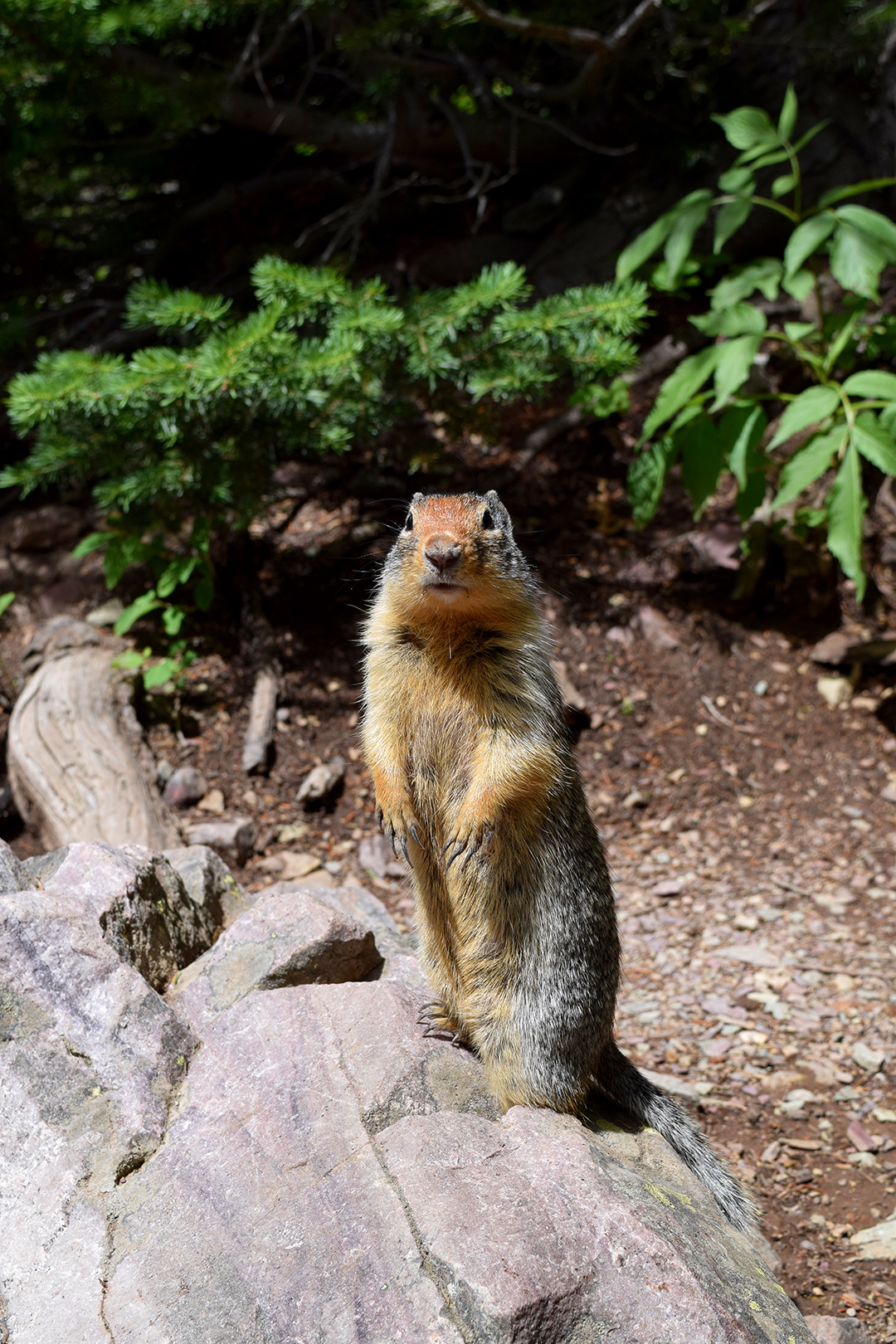
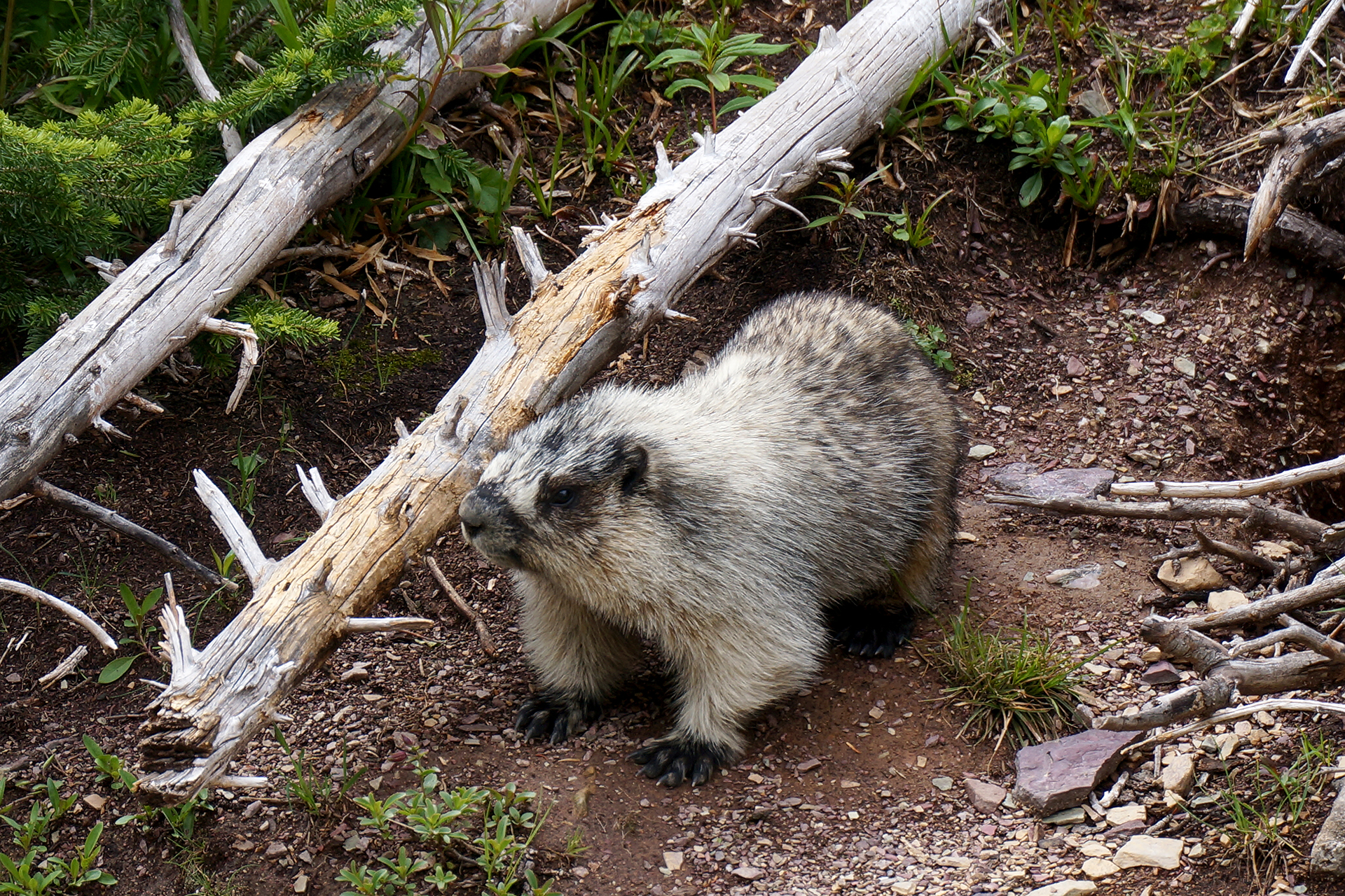
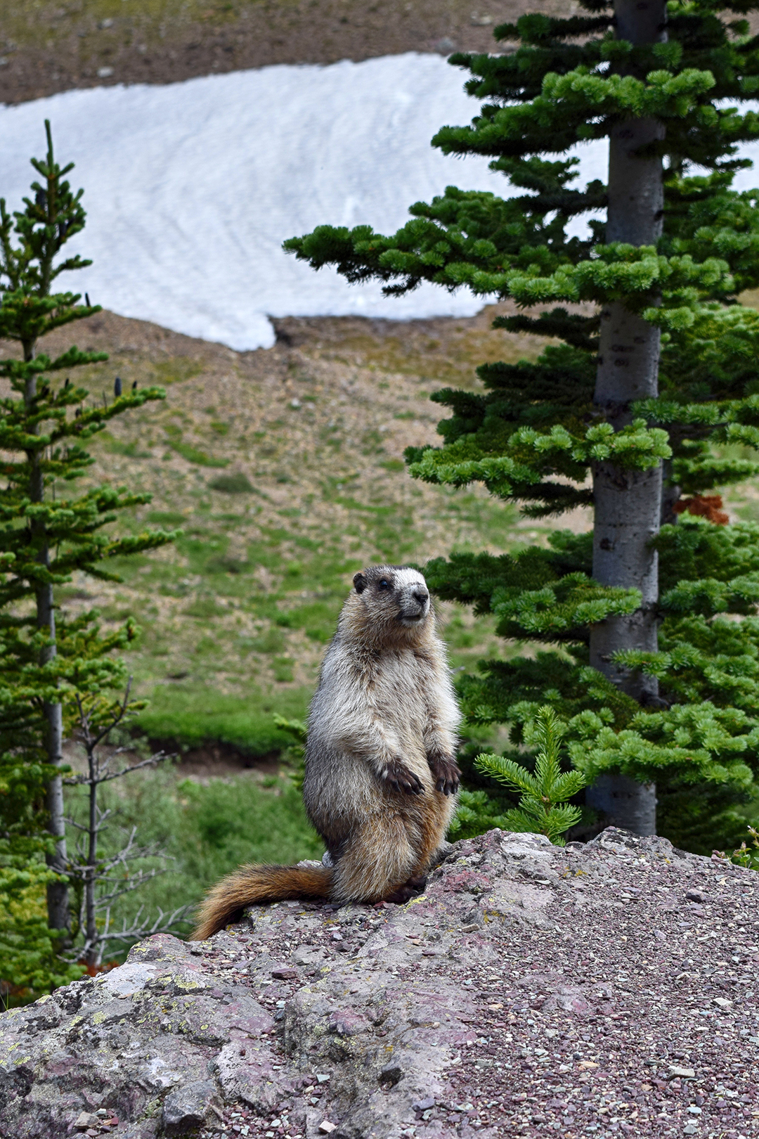
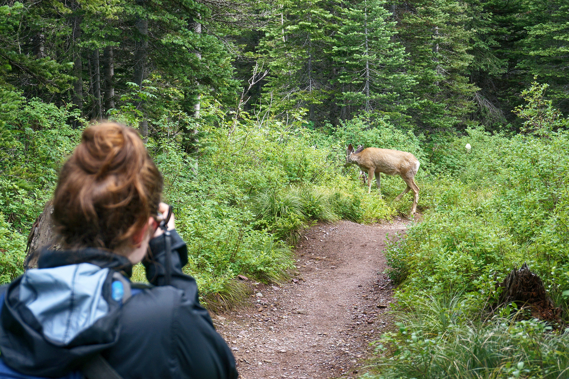
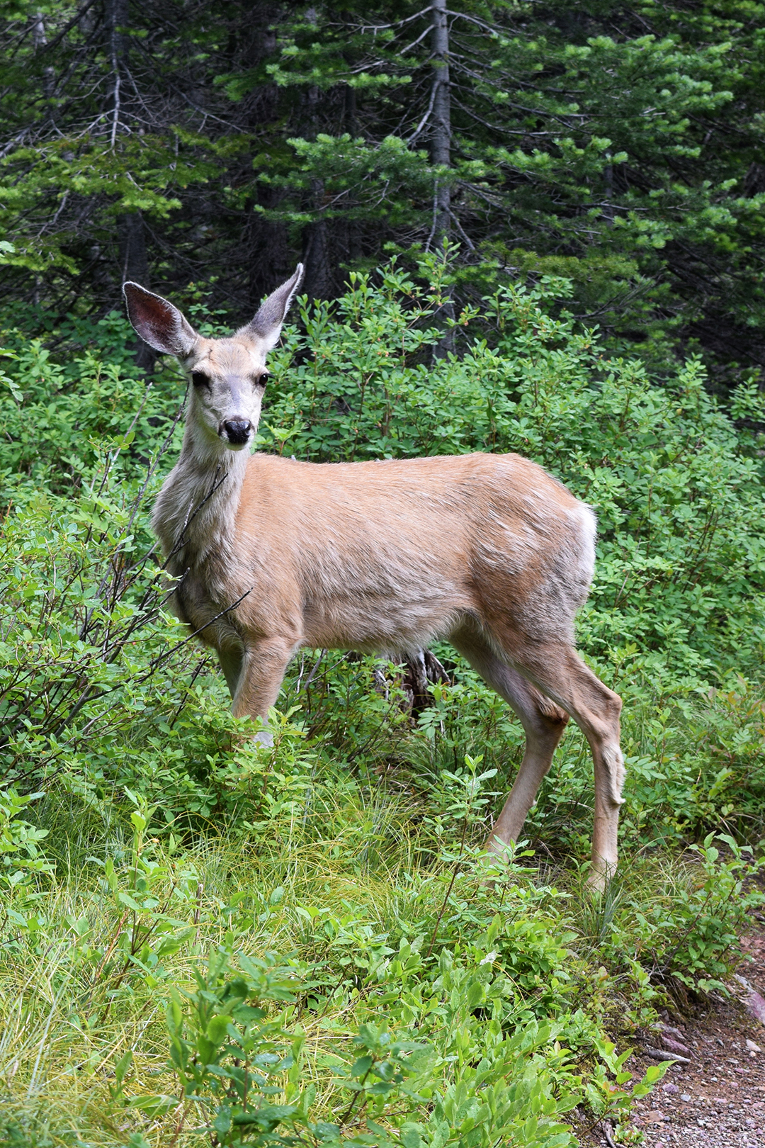
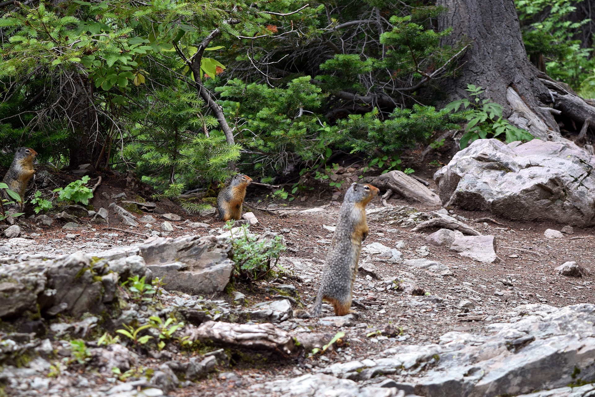
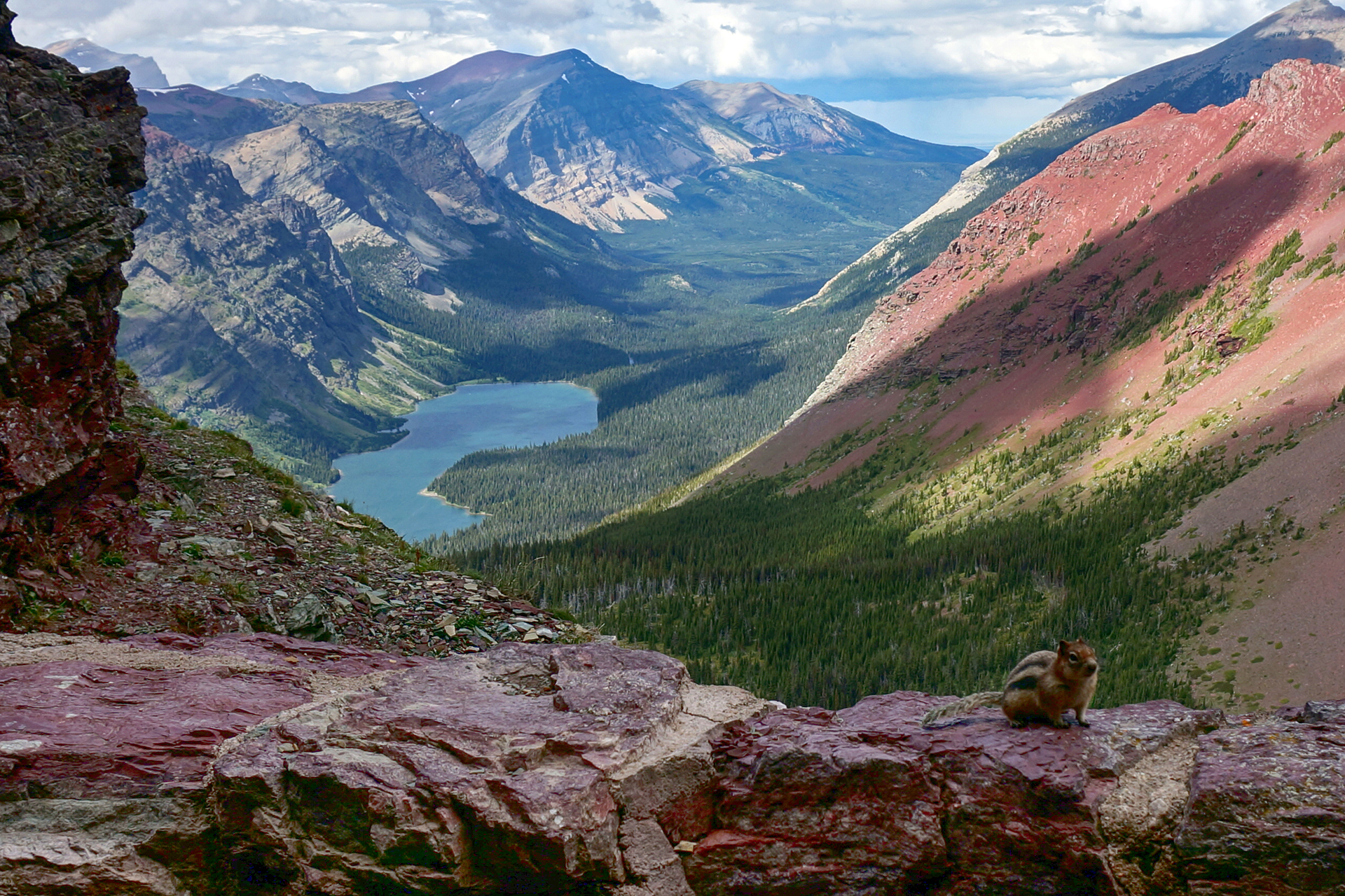
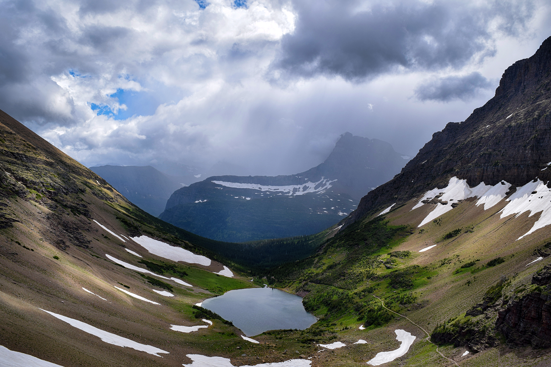
Then things opened up, and we picnicked for lunch near a beautiful alpine lake. (Glacier has a lot of those.) Several marmots – like beavers without the big teeth – frolicked nearby, cute, furry, and utterly unafraid of humans. There was a lot of wildlife on this trail, all habituated to visitors – we even walked along the trail behind a deer for a little while.
Eventually, we tackled the final stretch of the trail. The path switchbacks up an incredibly steep mountainside, almost a cliff. Thankfully it was a relatively short distance to the top, because this was probably the most punishing stretch we ever hiked. We were more or less delirious in the picture below.


You can’t see it in that picture, but we were facing the Ptarmigan Tunnel. Created in the early 1930s by the CCC using dynamite, it passes through the very top of the mountain. Due to massive winter snows, the rough-hewn tunnel is sealed by a large iron door for nine months out of the year – and it had just opened.


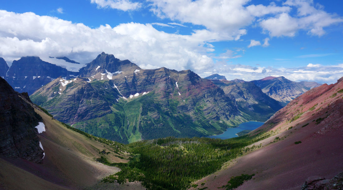
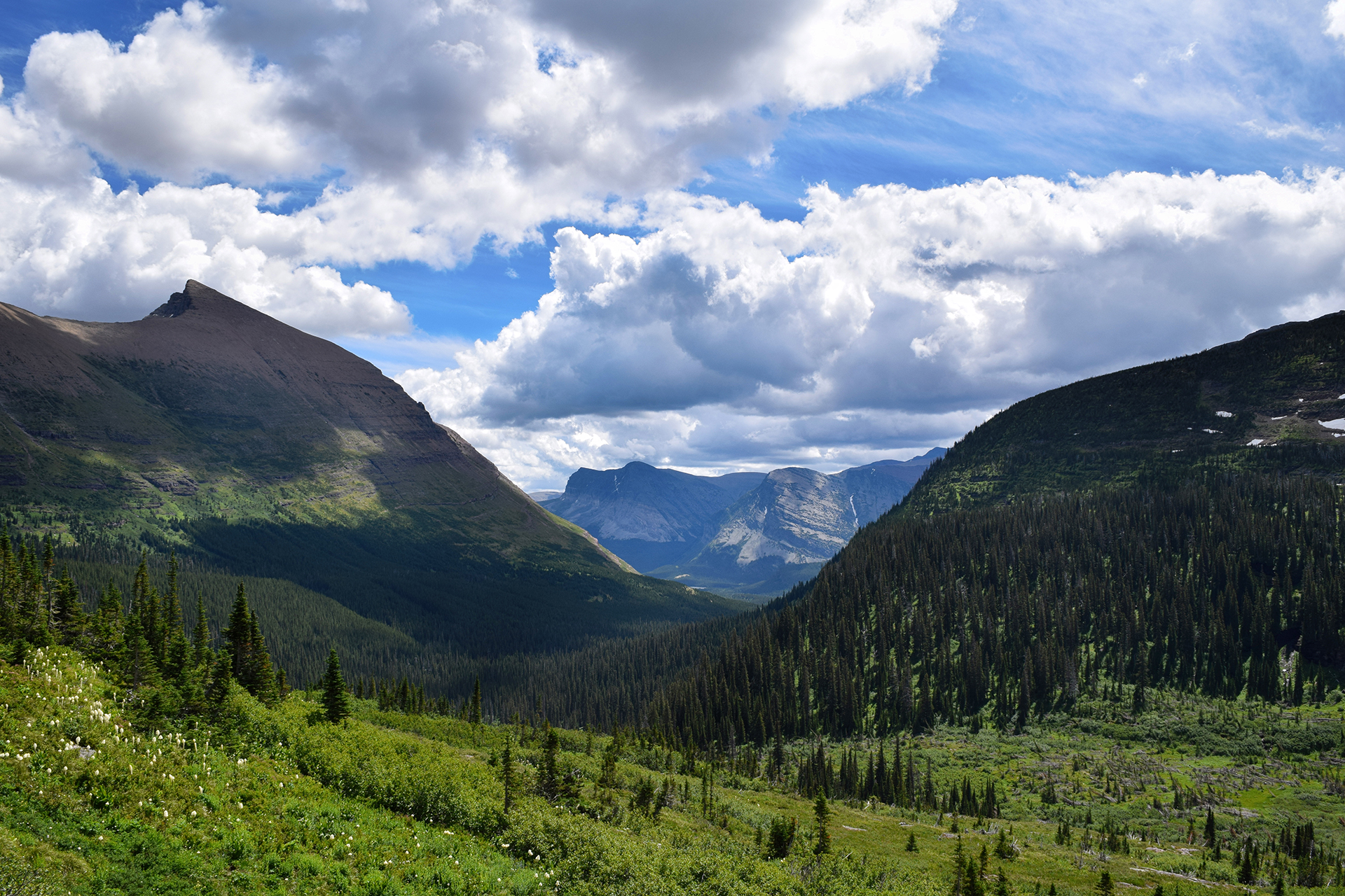
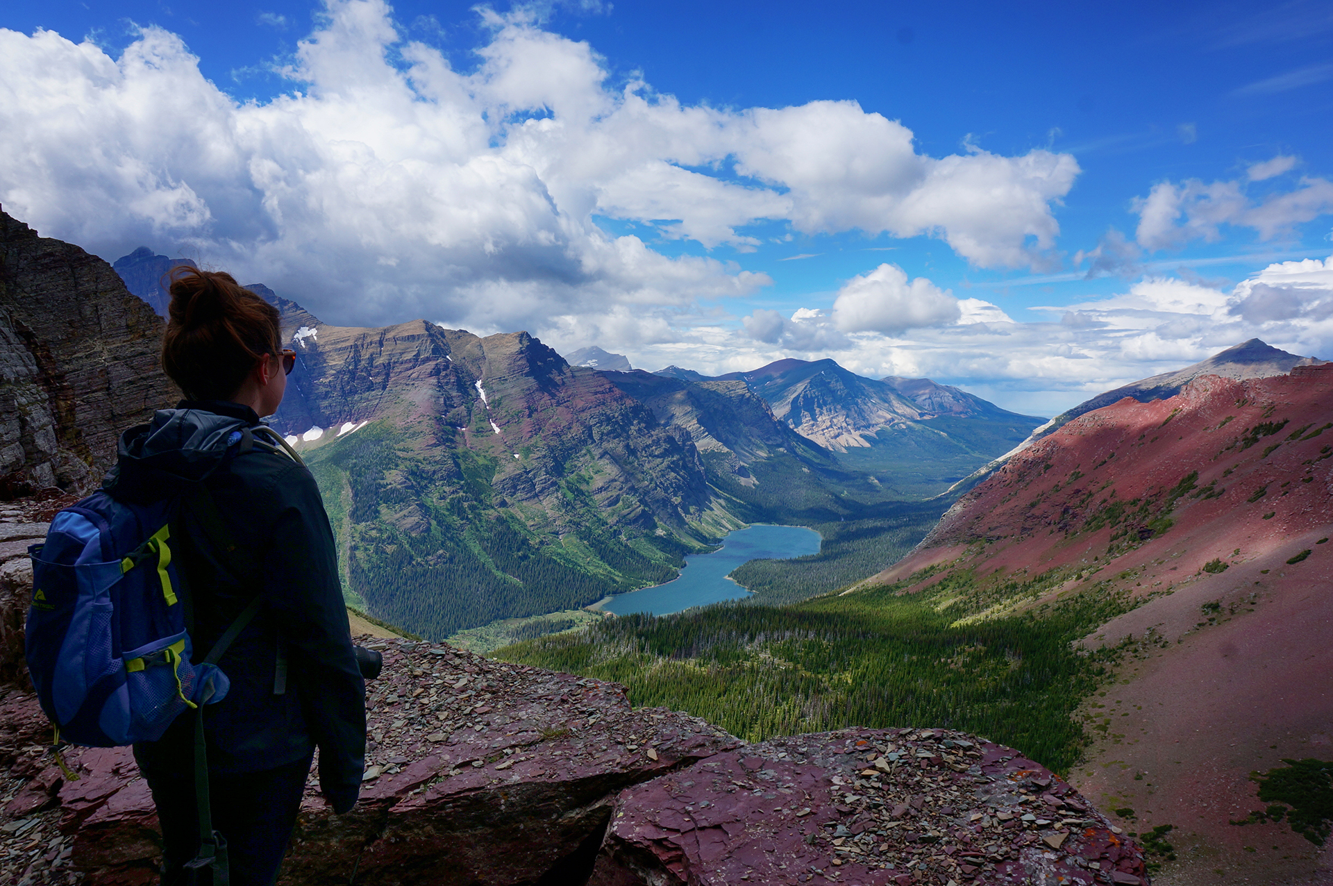
On the other side? Paradise.

Friends, we had been on the road for over a year at this point. We had seen the country’s most beautiful mountains, deserts, beaches and plains, but nothing – nothing – ever stopped us in our tracks like this.

It was the most fantastical thing we have ever seen. At that moment, tired, sweaty, and half-delirious, we knew we had reached the pinnacle of our trip. There were more places to visit, and a lot more pictures to take, but nothing would ever come close to this view.
We wandered around for a few minutes, taking photos and another photosphere, and prepared to leave as a storm began forming in the distance. Before we turned, Jake took a look at the trail, which continues on, across the mountainside and down into the valley beyond, and made a promise to himself.
“Someday.”

We passed back through the tunnel and found the storm clouds had already blotted out the view from the other side. It felt fitting somehow, like nothing else deserved to be seen after the beauty we had just experienced. And then it was a long, tired walk back to our car.
On the drive back out, we spotted two more grizzly bears, foraging in a meadow near the road.

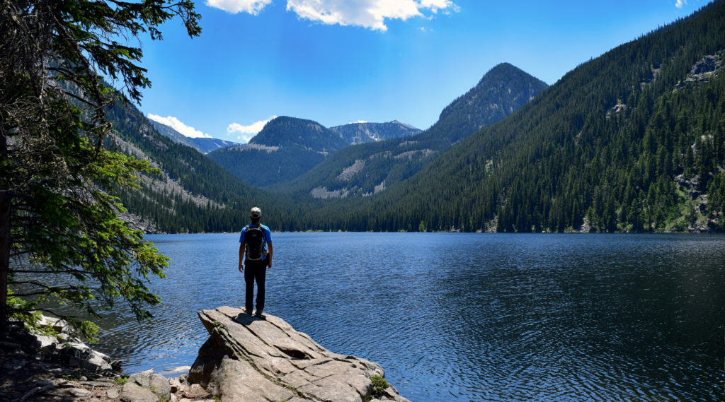
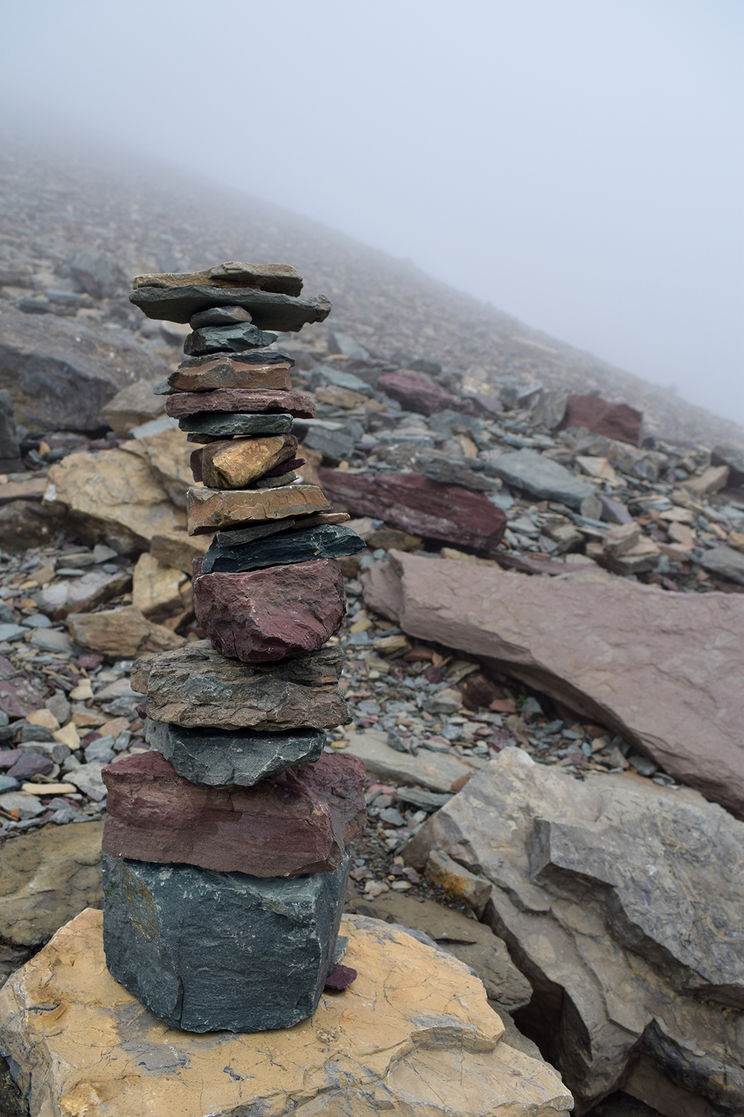
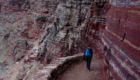
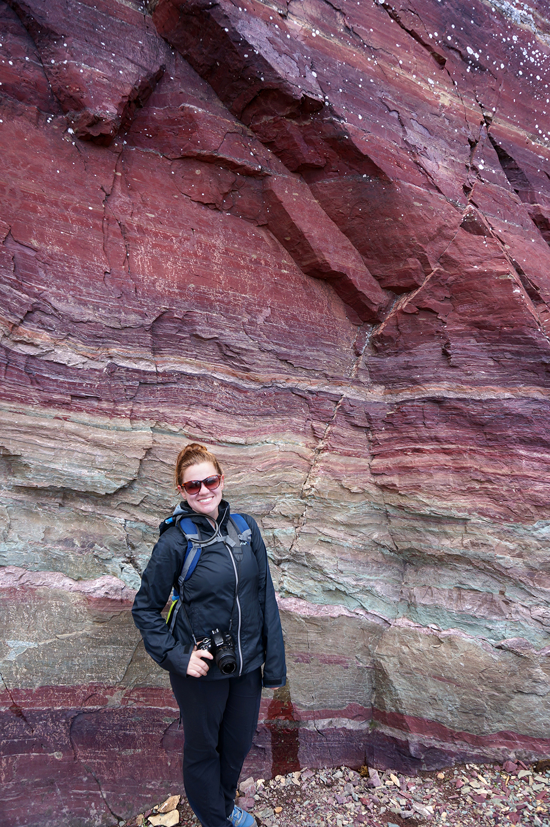
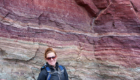
Nearby, another pristine lake beckoned, its shores lined by brilliantly colored rocks.
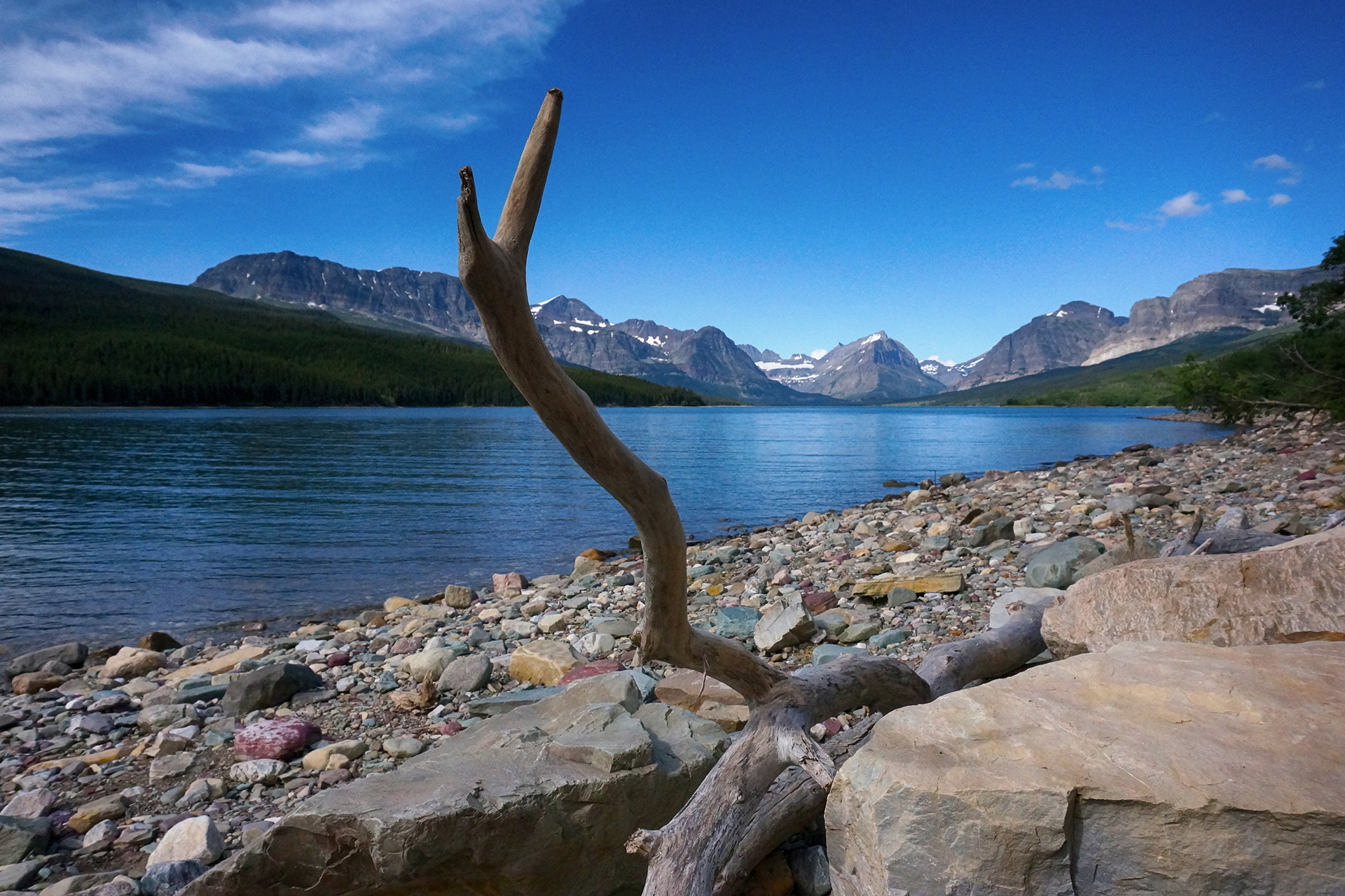
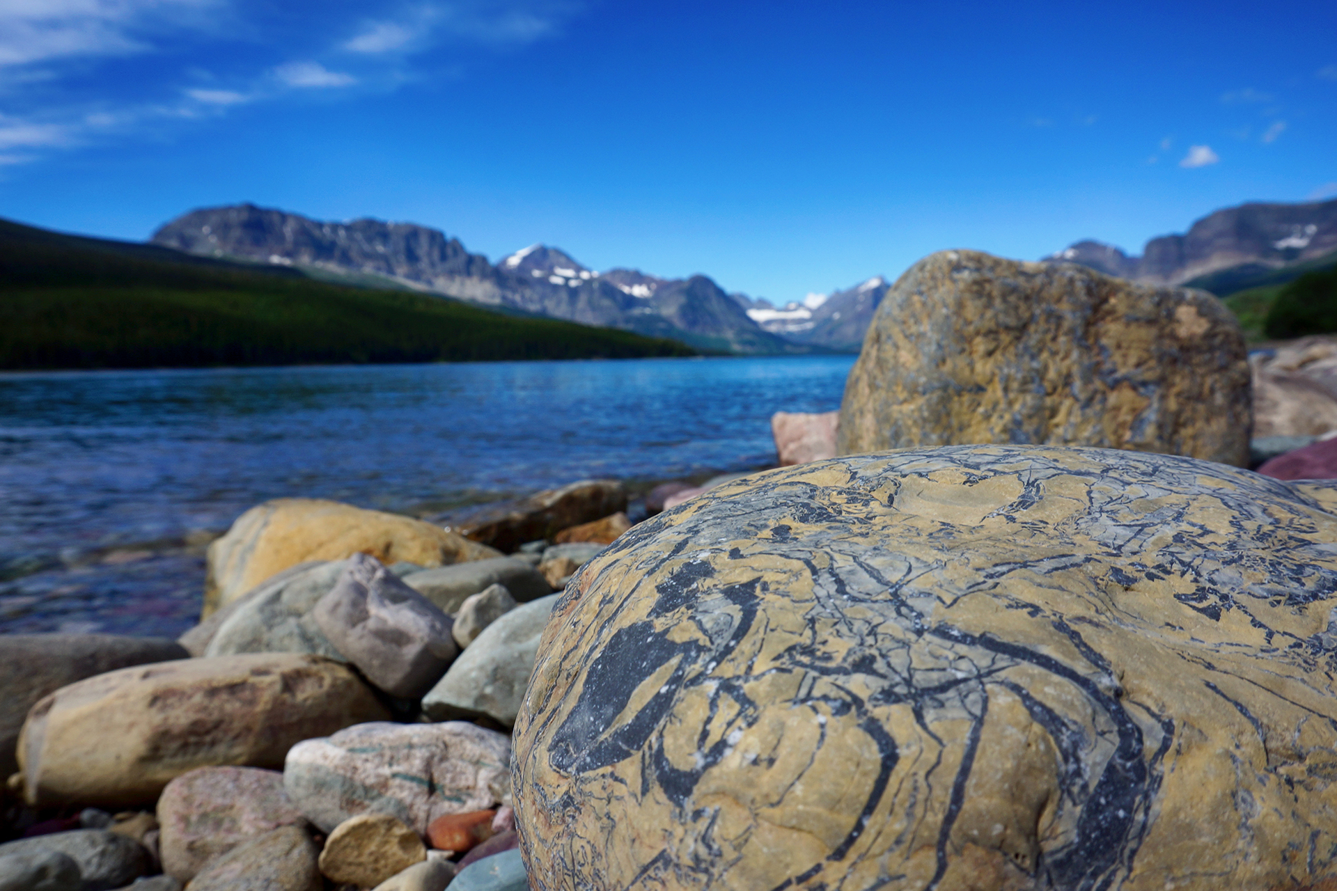
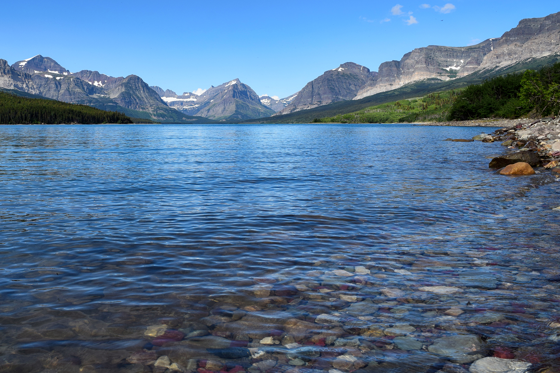
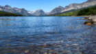
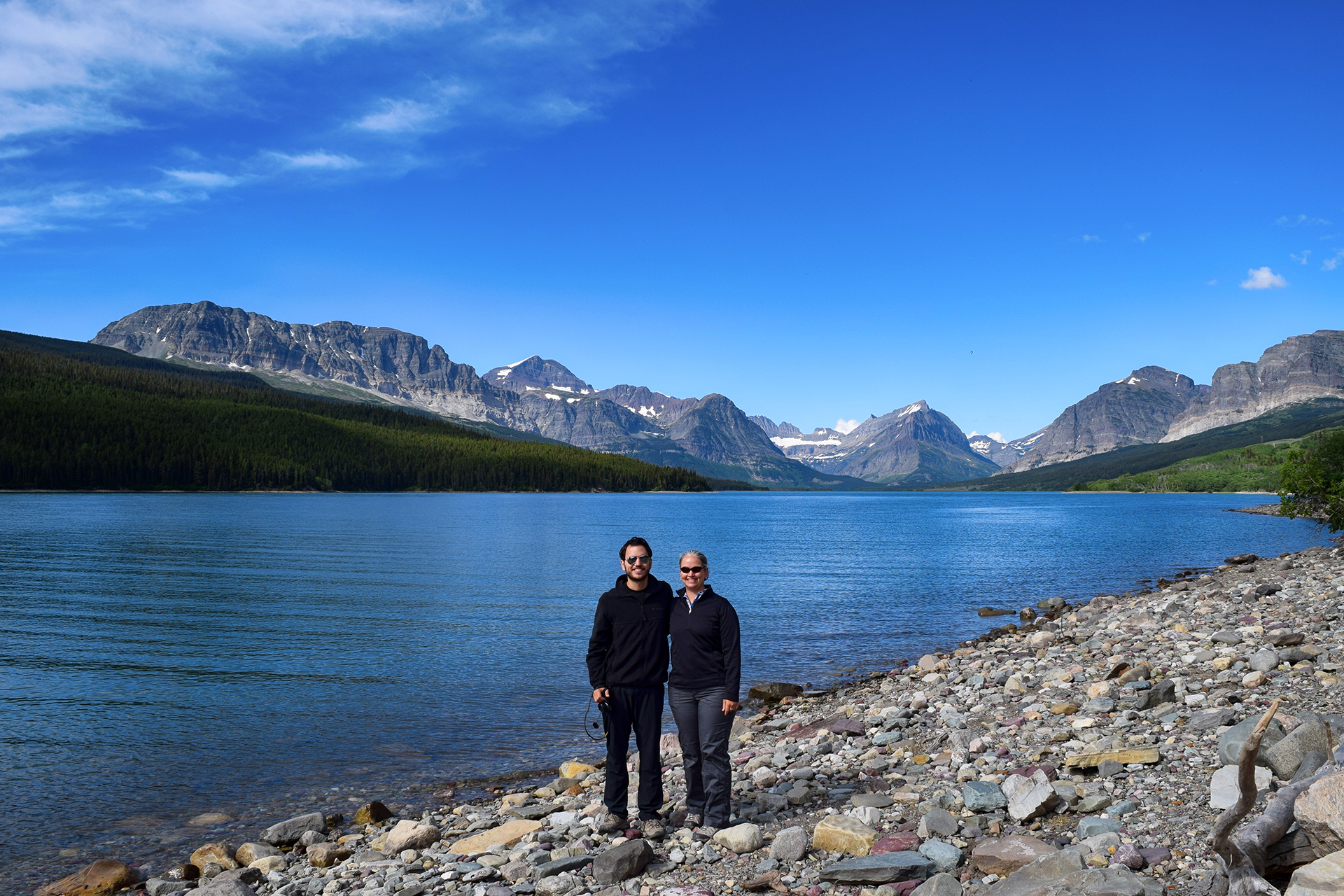
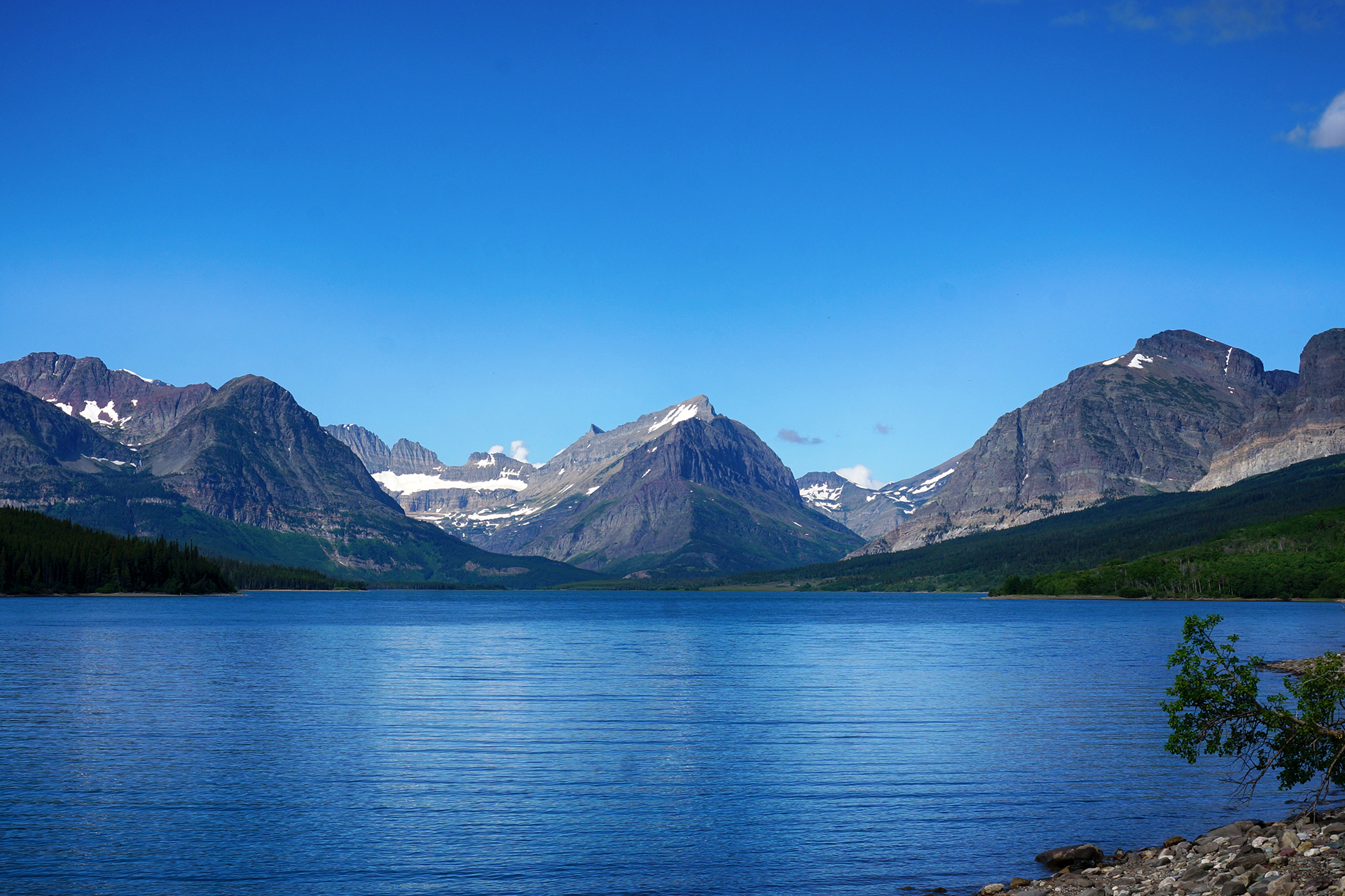
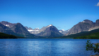
Perhaps there was more left to see, after all.
Thanks for an amazing visit, Glacier. ‘Til next time!

Roadtrip Status
We’ve reached the end of our roadtrip! We’re settled down in Denver, but we’re going to keep making blog posts and posting our favorite photos from the trip, so stay tuned for more.
Follow Us On Social Media
![]()
![]()
![]()
![]()
![]()
![]()